El Rey – Quintana Roo – Mexico

El Rey

El Rey

More on the Maya

El Rey – Quintana Roo

Location

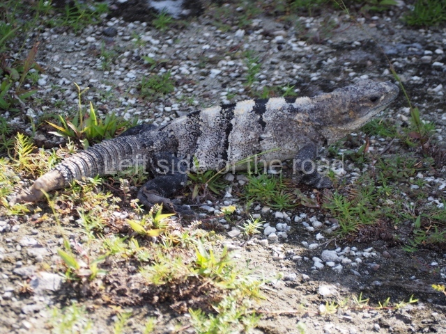
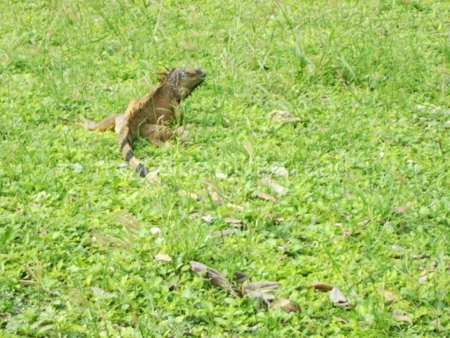
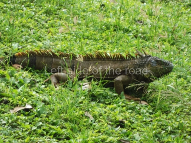
The pre-Hispanic settlement is situated on Cancun Island. Measuring 21 km in length and 400 m at its widest, this is a long strip of land delimited by the Caribbean to the east and by Lake Nichupte to the west. It is surrounded by vast wetlands and mangroves. No one knows the original name but the present-day one is a reference to a sculpture of a human face with an iguana headdress found at the site. El Rey is the largest and most important of the 12 pre-Hispanic sites on the island and chronologically corresponds to the Late Postclassic. It coexisted with San Miguelito, the second largest, Yamil Lu’um (‘undulating land’), Punta Cancun and Pok Ta Pok. However, some of the settlements on the island date back to the Late Preclassic, the most important of which are Coxolnah or ‘house of the mosquito’, situated on a peten or island in the lake area, and El Conchero, a mound of shells and conches left by mollusk-gathering human groups.

History of the explorations

The first geographical reference to the Island of Cancun or Cancuen can be found on a map from 1776 drawn up by the cartographer Juan de Dios Gonzalez. During the 19th century, the island was visited by Captain Richard Owen Smith, John L. Stephens and the Englishman Frederick Catherwood, Alice and Augustus Le Plongeon, William H. Holmes, C. Arnold and F. J. T. Frost; the latter two produced the first drawing of the anthropomorphic head that lends the site its name. In the 20th century, Thomas Gann and Samuel K. Lothrop produced descriptions of various structures as well as several maps and photographs. In 1954, William T. Sanders conducted the first excavations in an attempt to find ceramic materials that would indicate a timeline for the sites of El Rey and San Miguelito. Nine years later, Wyllys Andrews IV led excavations at El Conchero. In the 1970s, Pablo Mayer Guala of the INAH launched the first official research and consolidation project at El Rey. In the subsequent years, the same institution has conducted various consolidation and maintenance works, led by Enrique Terrones G.

Pre-Hispanic history

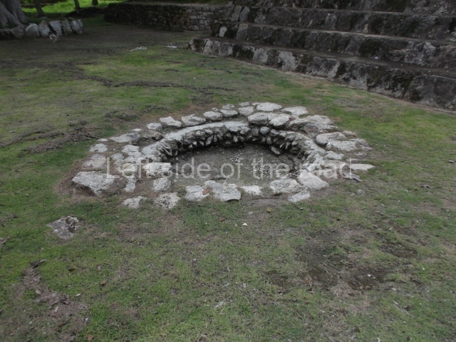
When the Spaniards arrived with Francisco Hernandez de Cordoba in 1517, the Yucatan Peninsula was divided into 19 chieftainships and Cancun Island belonged to Ecab. The principal economic activities were fishing, farming and the production of salt, honey, copal (a type of resin) and cotton. Between the 13th and 16th centuries, these products were traded via a vast network of terrestrial and maritime routes covering every coast on the peninsula, from Campeche to Central America. Thanks to its location on the edge of the island and status as just one of several coastal enclaves in the pre-Hispanic commercial network, El Rey was able to trade its marine products: dried fish, stingray spines, utensils and ornaments made of shell and conch. In the same way, various foreign goods were imported into the region: basalt grinding stones, knives and flint projectile points, obsidian cores and daggers, beads and earrings made of jadeite and quartz, rings, ornamental bells and copper tweezers. The limited terrain and saline soil shaped the economy of the ancient inhabitants of Cancun Island. Farming alone could not support a large population where scaly fishing, gathering mollusks and turtles provided the staple diet. The island’s occupants build underground pits (chultunes) to store rainwater and supplement the natural sources of fresh water from cenotes and sinkholes.

The pre-Hispanic occupation of the site is denoted by the Tases ceramic group, essentially composed of the Payil, Mama, Navula and Matillas varieties, the latter obtained through trade with the Gulf region of Campeche and Tabasco. The Spanish Conquest led to the disintegration of the trade network on the Caribbean coast, with serious consequences for communities such as El Rey. All the coastal settlements entered a population decline and between the 16th and 18th centuries became prey for English, French and Dutch pirates.

Site description

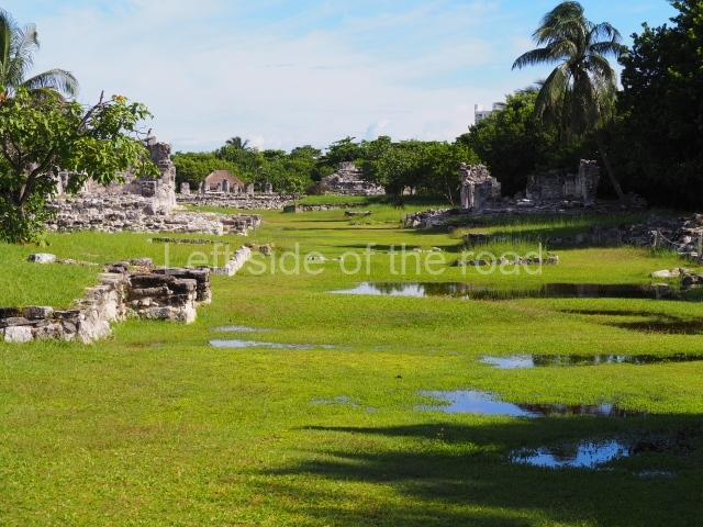
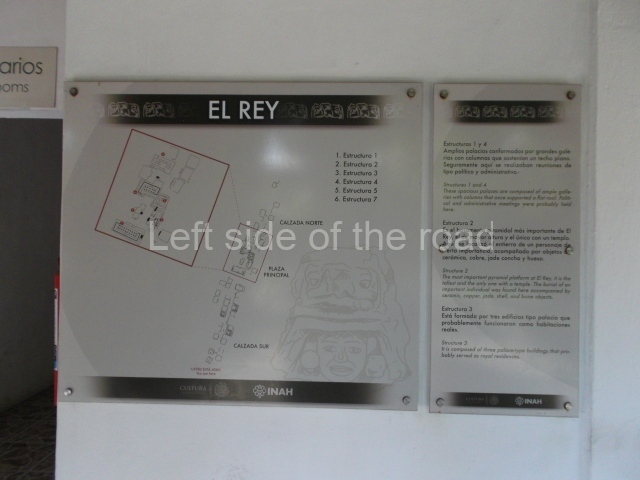
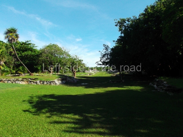
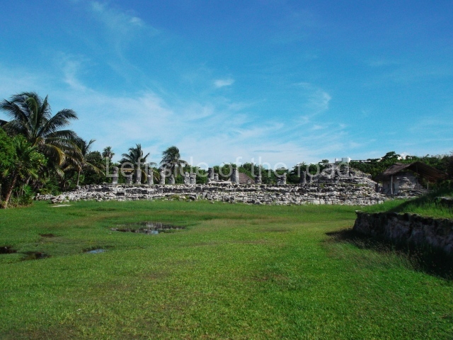
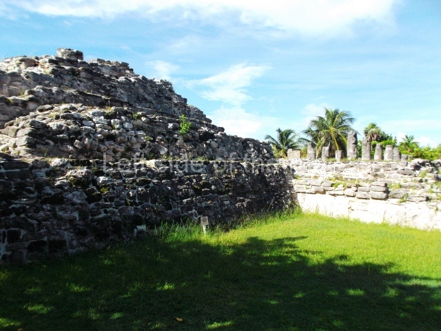
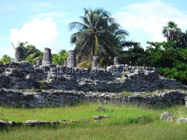
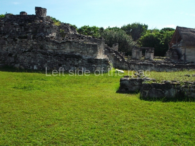
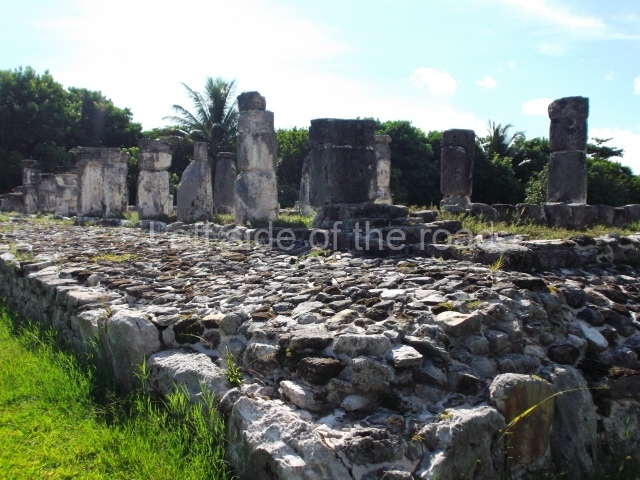
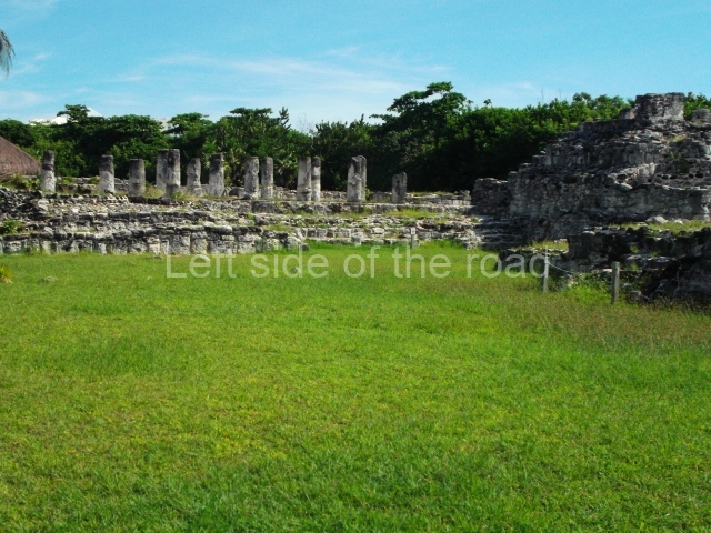
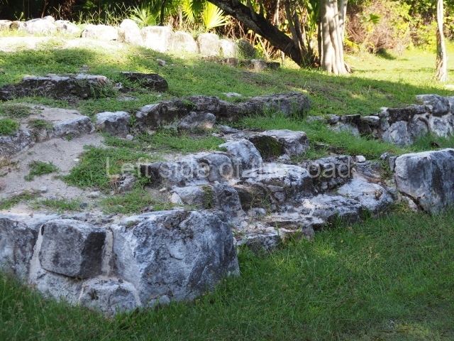
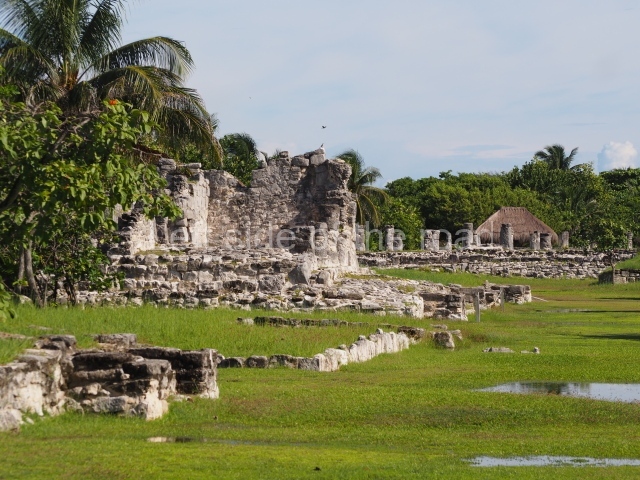
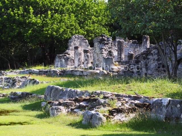
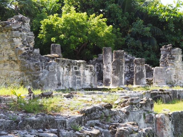
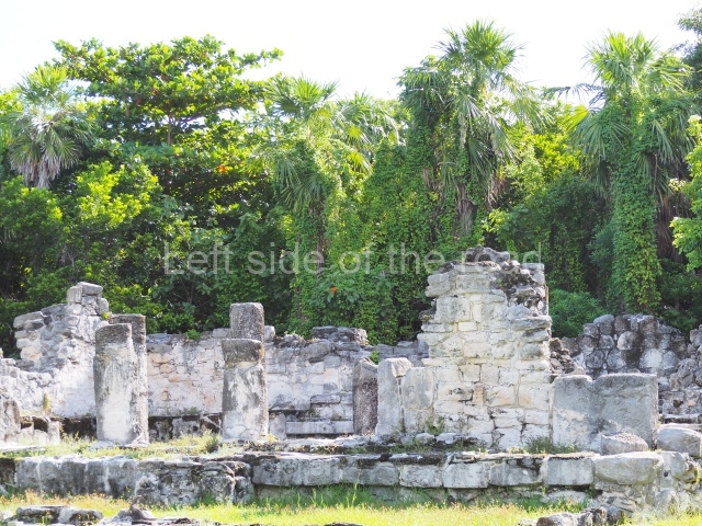
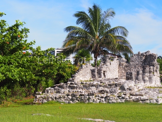
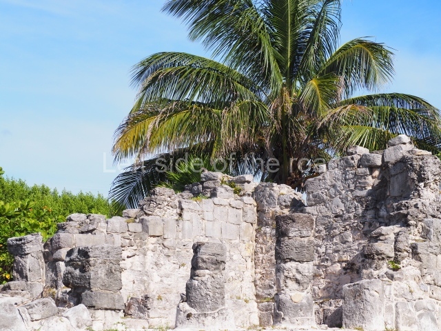
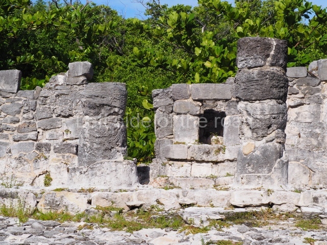
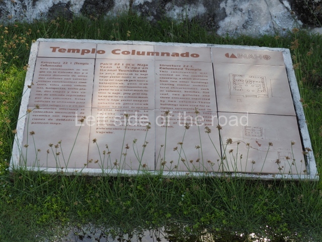
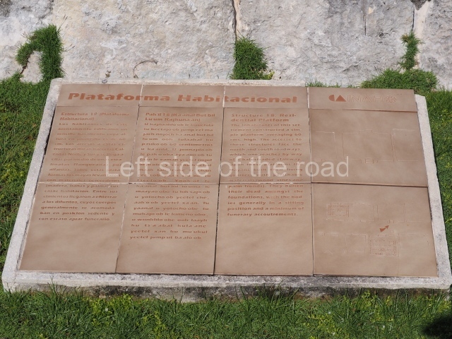
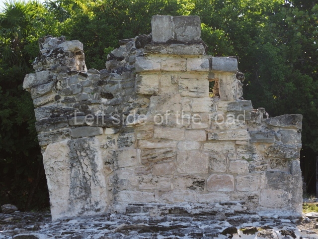
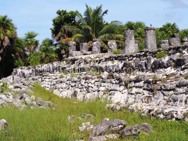
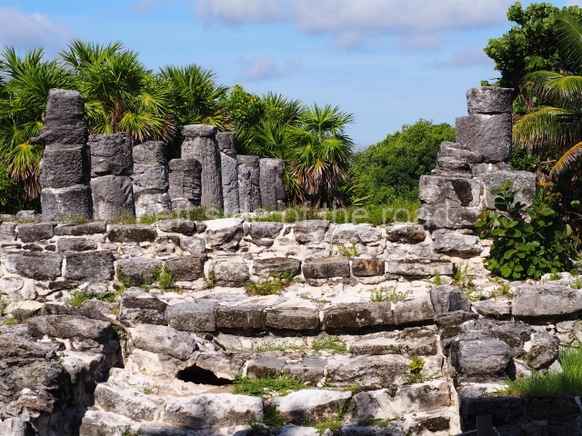
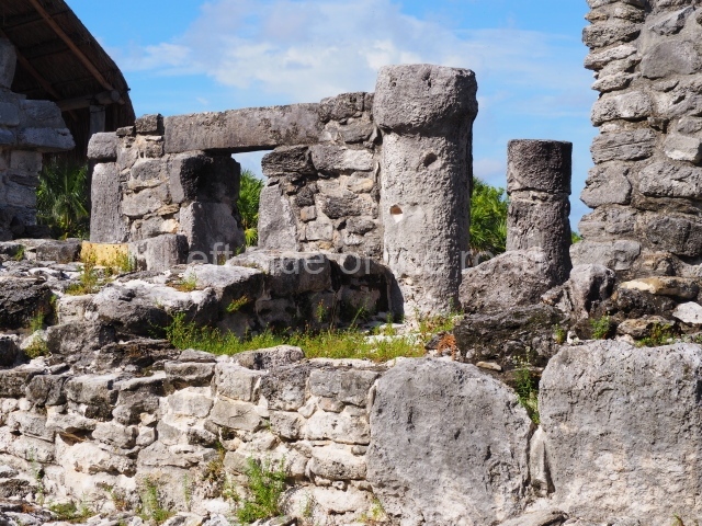
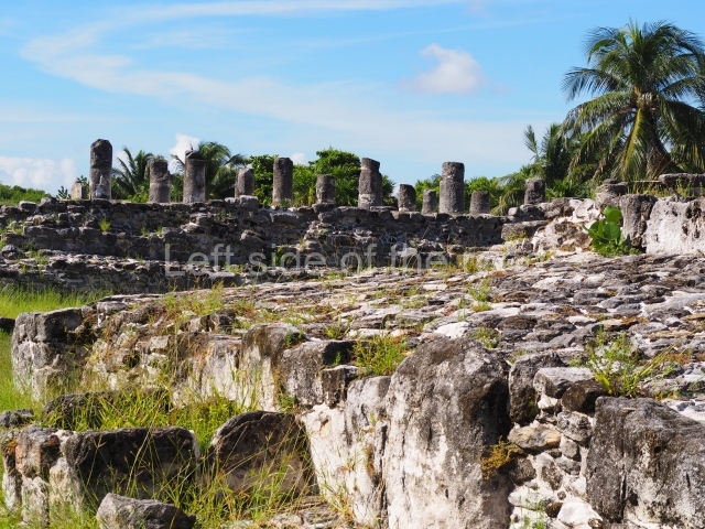
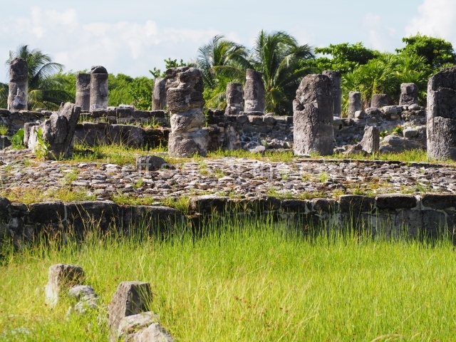
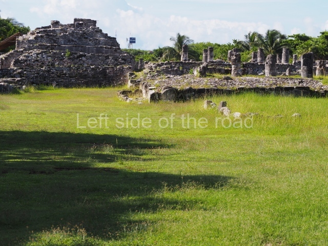
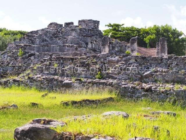
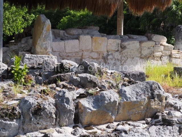
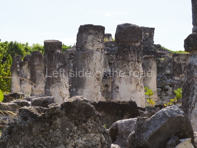
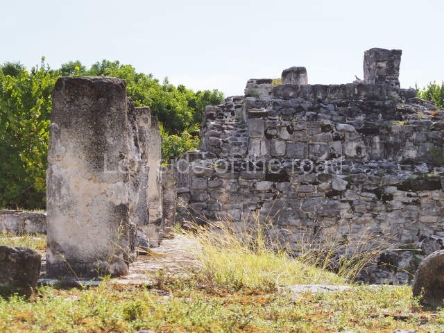
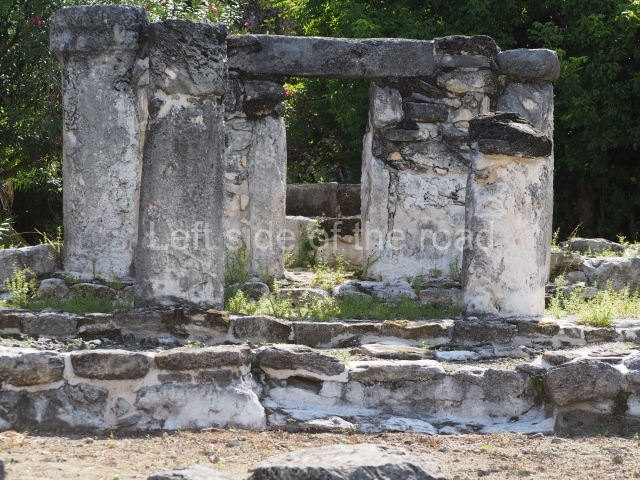
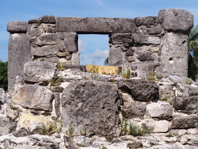
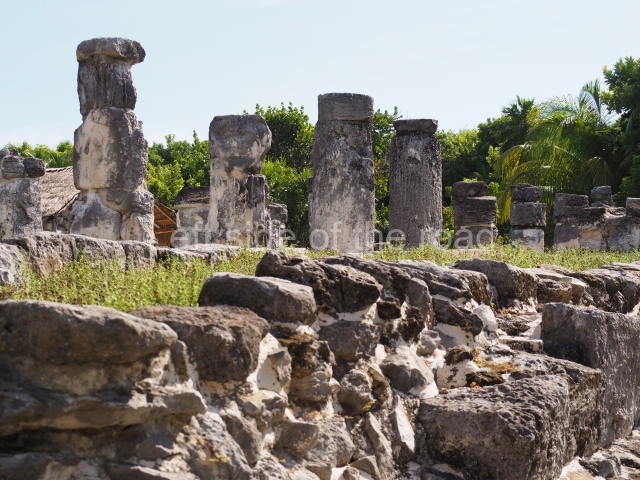
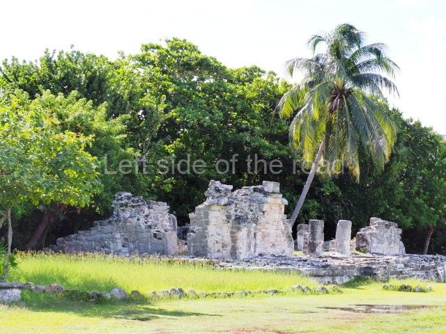
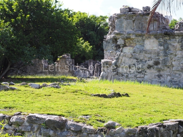
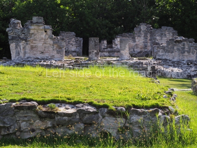
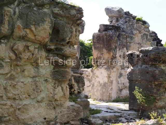
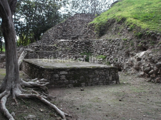
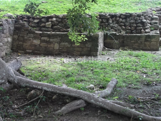
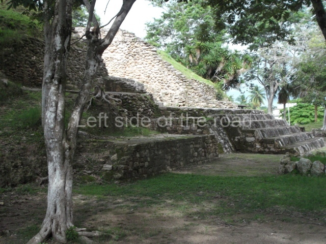
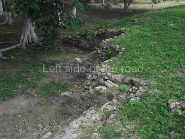
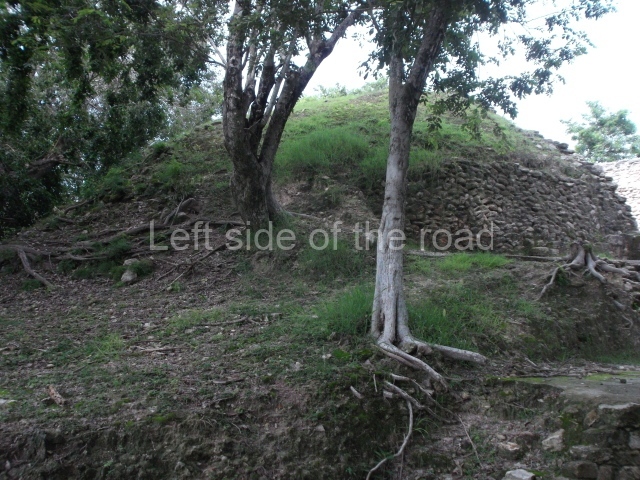
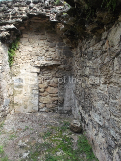
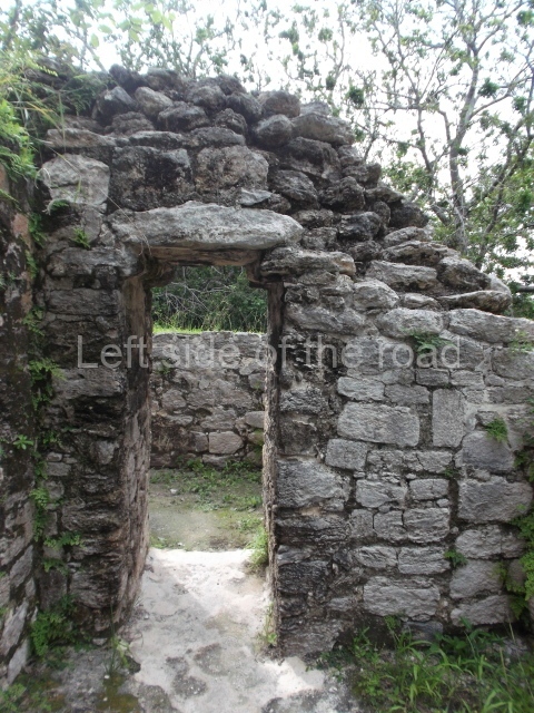
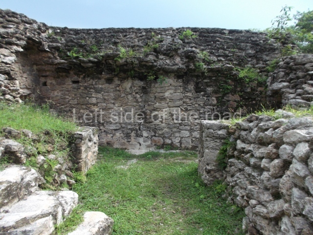
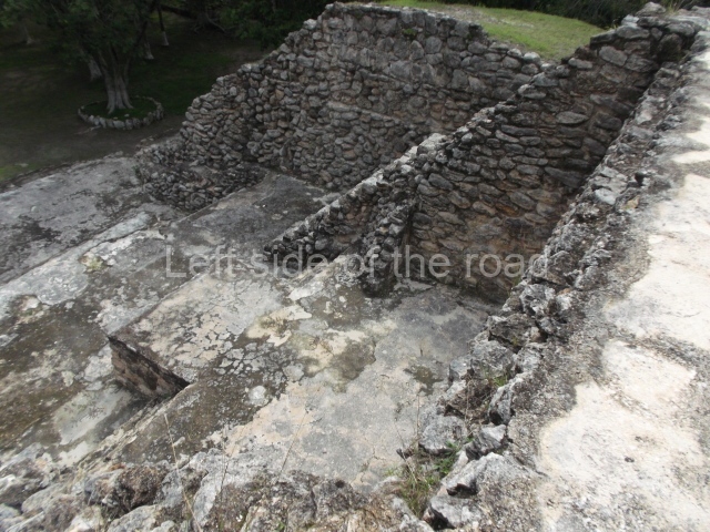
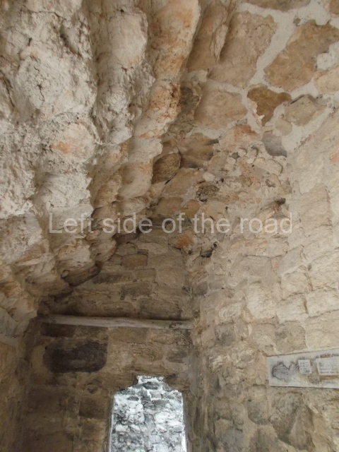
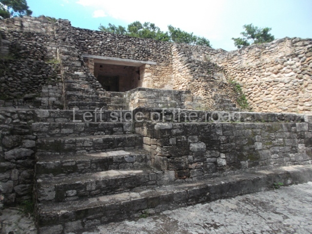
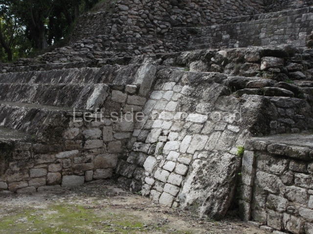
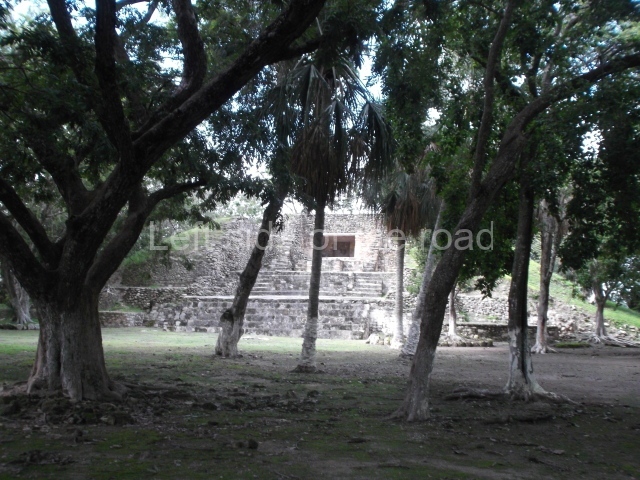
The architectural ruins at El Rey correspond to the Late Postclassic and the East Coast style, and coexisted with the constructions at Tulum, Tancah, Xelha, Xcaret, San Gervasio, Playa del Carmen and even certain buildings at Coba. There are 47 structures at El Rey, which itself covers an area measuring 520 m along the north-south axis and 70 m along the east-west axis. The principal unit or Civic-Ceremonial Precinct is composed of two plazas surrounded by religious constructions comprising temples, altars, adoratoriums and a pyramid platform with architectural evidence of a sub-structure. There are also hypostyle constructions with palatial columns and benches, used as beds, adjoining the interior walls. Situated north of the core area is a 200-m causeway, flanked by residential platforms on which wood and palm dwellings were built. Just south of the core area, three colonnaded temples flank another causeway, this time 300 m in length. Over 500 human burials were found beneath the residential platforms; most show that the humans were buried in a kneeling position. The offerings vary from a simple obsidian or conch knife to ceramic pots and jadeite beads and necklaces. A high ranking dignitary was buried on top of the pyramid platform and the offering associated with this tomb includes a ceramic goblet, two copper tweezers, an arrow shaft made of deer, a conch bracelet and a jadeite necklace. Cranial deformation and dental mutilation can be observed on several skulls, and pathologies such as arthritis and osteoporosis have also been detected, as well as a high degree of vitamin C deficiency. The average lifespan of this population has been estimated at 35 to 40. Like other coastal settlements from this period, El Rey had a texcatl or stone slab for sacrificial use, which confirms that this practice was conducted at the site. The temple known as Structure 3B still contains traces of murals on the interior walls of the vaulted chamber.

Enrique Terrones Gonzalez

From: ‘The Maya: an architectural and landscape guide’, produced jointly by the Junta de Andulacia and the Universidad Autonoma de Mexico, 2010, pp 436-437.

El Rey

El Rey

1-6. Structures 1 to 6.

How to get there;

El Rey is located almost towards the end of the long spit of land which houses the so called ‘hotel’ district of Cancun. It’s to be found just over a kilometre after the Museo Maya de Cancun (Cancun Mayan Museum). Buses R1 and R2, to and from downtown Cancun, run regularly along this road. M$12 per journey.

Entrance:

M$70

More on the Maya

Santa Rita Corozal – Belize

Santa Rita Corozal

Santa Rita Corozal

More on the Maya

Santa Rita Corozal – Belize

Location

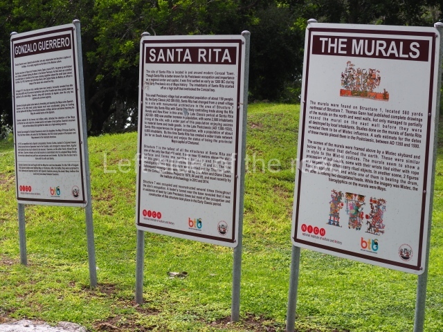
Situated in a strategic position on a major trading route along the Caribbean coast and close to the Hondo and New rivers, Santa Rita enjoyed easy connections with inland sites such as Lamanai, La Milpa and other cities in Peten. Its main products were achiote, honey, vanilla and a variety of fish and molluscs, and it is said to have been particularly famous for the quality of its cacao. Objects imported from distant places have also been found, such as turquoise (which could have come from Peru or the south-west of the United States), Plumbate ceramics (Guatemala), objects of copper and gold of varying provenances and gold ear ornaments possibly of Mexican origin (central Mexico). All of this reinforces the hypothesis that Santa Rita was an important port of trade. Much of the site has been destroyed by the development of the present-day Corozal; its structures have been dismantled and many of the stones from the old buildings have been incorporated into streets, plinths and modern constructions. Originally, the site extended much further to the north and south-west of Corozal. Nowadays, it is situated on the outskirts of the city, on the edge of the Northern Highway leading from Belize City to the Mexican border. It can be reached by car or public transport. From Corozal, head northwest along the highway and after a kilometre or so you will see a statue where the road veers to the right. Take the next turn left and the entrance to Structure 7 is a few metres beyond Hennessy Restaurant.

History of the explorations

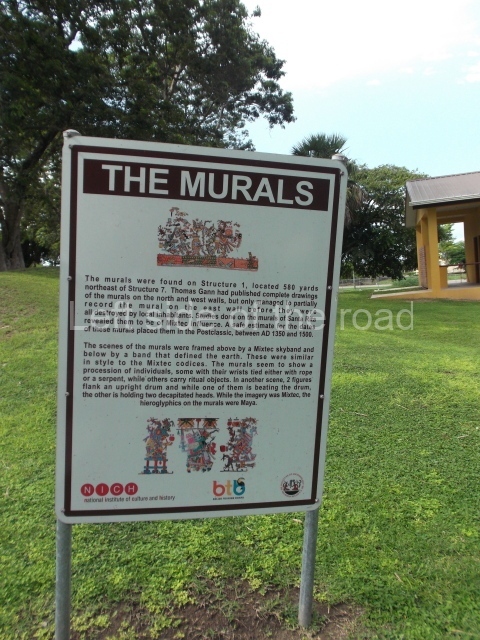
At the beginning of the 20th century, Thomas Gann made a rough map of the site, conducted several excavations and discovered a Mixteca-style (from Oaxaca) mural in Structure 1. Nowadays nothing of this mural remains and Gann was unable to complete his record as not long after its discovery it was destroyed by the local inhabitants. However, Gann’s drawings and detailed record have survived. The mural corresponds to the Postclassic period and has been dated to between AD 1350 and 1500. Similar murals were found in Structure 16 at Tulum (Quintana Roo, Mexico). In 1979 Structure 1 was bulldozed. At the beginning of the 1970s, Ernestene Green, Duncan C. Pring and Raymond V. Sidrys conducted minor excavations. Subsequently, between 1979 and 1985, Diane and Arlen Chase from the University of Central Florida led the Corozal Postclassic Project, which involved the excavation and consolidation of Structure 7. What remains of the site today, the central part, is situated inside an archaeological reserve.
Pre-Hispanic history

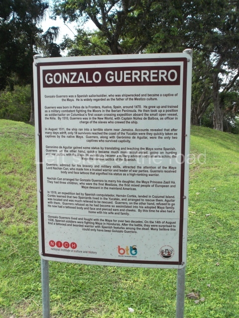
Although Santa Rita is best known for its importance during the Postclassic period, when the site experienced its heyday, the earliest settlers arrived around 1000 BC. Ceramics from the Swasey phase – the oldest in the Mayan lowlands – have been found. Santa Rita boasts one of the longest sequences of occupation in Belize, commencing in the Middle Preclassic and culminating in the Postclassic and even the period of contact with the Spaniards. It was abandoned towards the end of the 16th century. The archaeological area of Santa Rita is widely believed to have been the famous city of Chetumal (Chactemal province), which is mentioned in sources from the 16th century and formed part of the League of Mayapan. When the Spaniards arrived it was an important port. Its strategic position appealed to the conquerors, who decided to establish a base there. In 1531 Francisco Montejo sent Alonso Davila to take control of the site, but on his arrival he discovered the city to have been abandoned. Davila established his base and called it Villa Real. The supposed abandonment of Santa Rita was in fact part of a Maya strategy, and the original occupants launched a counter-attack and recovered Chetumal. And then the strangest thing occurred: Nachancan, the governor of the city, had a Spanish son-in-law, Gonzalo Guerrero, the survivor of a shipwreck off the south coast of Jamaica in 1511. Guerrero is regarded as the ‘father of the mestizos’ because he married a Maya woman, had children with her and adopted the local customs. It is said that he eventually became Nachancan’s military advisor and participated in various battles against the Spanish. Eighteen months later, the Maya forced the Spanish to retreat south, to Honduras.
Site description

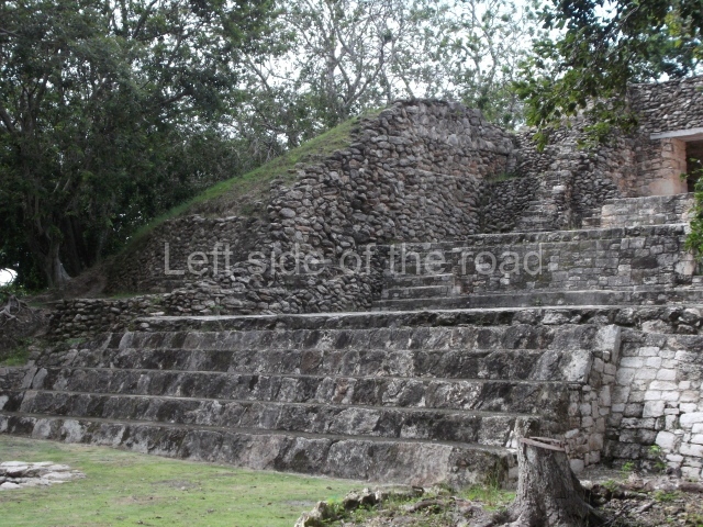
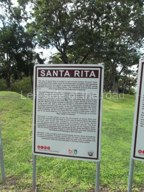
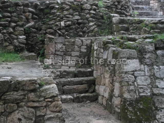
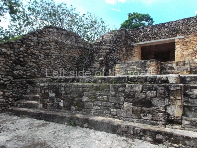
The only interesting building is Structure 7, the tallest and largest construction on the entire site. Its facade faces south, overlooking a plaza surrounded by mounds. It has various sub-structures, the most notable of which is the third one, a building with several rooms – three in a row and one on each side. This sub-structure was the only construction phase whose architecture was found in a relatively good state of preservation when the building was excavated, and it was therefore left visible and consolidated to accommodate visits by the public. The earliest part of the structure dates from the Late Preclassic, but it was subsequently remodelled and expanded until the Late Classic. It continued to be used during the Early Postclassic and an intrusive burial dating from the Late Postclassic was found on the stairway. The third sub-structure corresponds to the Early Classic and beneath the floor of the central room the burial of an elderly female was found, along with a wide variety of objects. The slightly later burial of an adult male was found in a tomb below the room at the front of the building. Due to the elaborate grave goods found, including a jadeite and shell mask, researchers believe that the person interred was an important ruler. During its final construction phase (Late Classic), the building stood approximately 17 m high. As a coastal site, it is surrounded by low rainforest and the land in the central part is not as fertile as in other areas to the north, near the River Hondo, where the Maya created raised fields to improve their farming productivity. Due to its location within the city of Corozal, the site can be easily accessed by tourists. Meanwhile, its situation by the sea creates an extraordinarily scenic setting.

From: ‘The Maya: an architectural and landscape guide’, produced jointly by the Junta de Andulacia and the Universidad Autonoma de Mexico, 2010, pp264-266.

How to get there:

From Corozal. Follow the road from the bus station that heads towards the Mexican border until you come to a roundasbout. Continue straight ahead and take the first road on the right, then a left and the site entrance is right in front of you.

GPS:

18d 24’ 08” N

88d 23’ 42” W

Entrance:

B$10

More on the Maya

Telephone exchange mural – Tskaltubo

Telephone exchange mural - Tskaltubo

Telephone exchange mural – Tskaltubo

More on the Republic of Georgia

Telephone exchange mural – Tskaltubo

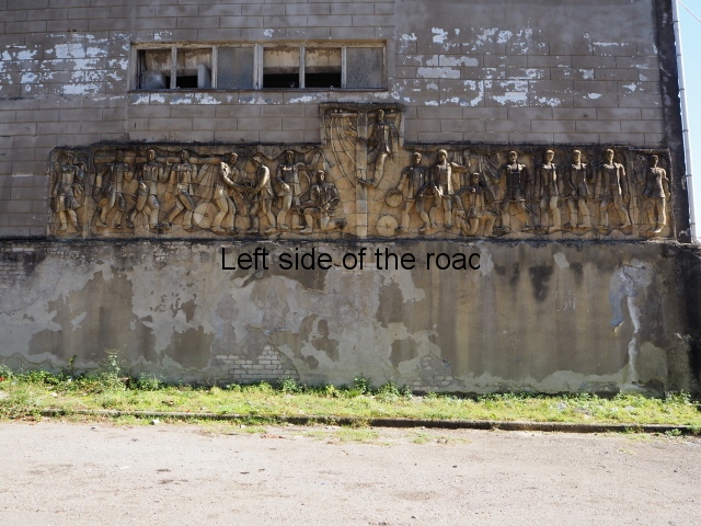
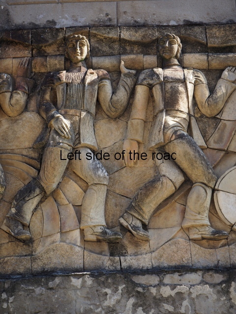
The terracotta mural portraying a group of telecommunications workers is an interesting, and in some aspects quite charming, piece of public art which is probably missed by the vast majority of visitors to the once immensely popular, and populous, spa town of Tskaltubo, not far from the city of Kutaisi in western Georgia.

Socialist Realist?

I am presenting it here for its curiosity value alone and do not plan to look too deeply into what is depicted as I don’t consider it fits into the definition I’ve been following of Socialist Realist art.

Just because a piece of art is produced and put on show in a country that calls itself ‘socialist’ doesn’t then – automatically – mean that it is a ‘Socialist Realist’ work of art. Realist yes, even social realist, but not Socialist Realist.

This mural, showing workers doing their job, is radically different from the mural that sits above the main entrance to Spring No. 6 – which is only a few minutes walk away.

That mural, which represents a visit of Joseph Stalin to the town in the early 1950s, had a very specific rationale. It was produced to demonstrate a unity between the people in one of the Republics on the edge of the vast USSR with the leadership in the capital of Moscow.

On the other hand the mural on the wall of the telephone exchange is mere decoration. Charming though it may be.

The terracotta mural is of a much later date (although the exact one I don’t know – but would guess 1970s at the earliest). And that’s important. Three years after the death of Stalin in 1953 the then leader of the Communist Party of the Soviet Union, Nikita Khrushchev, not only denounced Joseph Stalin as an individual he basically attacked all the gains and victories that had been achieved since the October Revolution of 1917. He didn’t say that (after all he was a traitor to Marxism-Leninism and had to hide his revisionism from the assembled delegates at the 20th Party Congress) but all that happened during his time at the head of the Party and country, as with subsequent ‘leaders’ until 1990, was to turn back the construction of Socialism and allow the re-establishment of capitalism in the world’s first ‘Communist State’.

So those works of art produced from the mid-1950s onwards weren’t produced to aid the development of Socialism but to reflect the capitalist road on which the Soviet Union was now following. I will accept that there might have been works of art that challenged the change of direction but they still couldn’t be considered Socialist Realist as the economic base of the country was no longer socialist.

The Mural

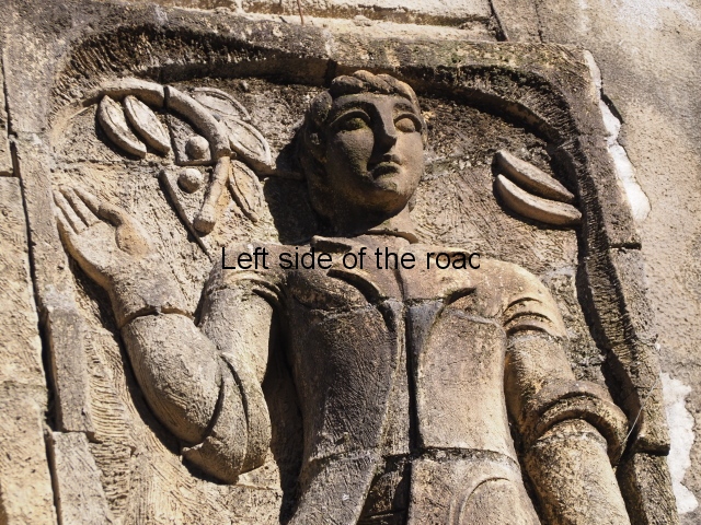
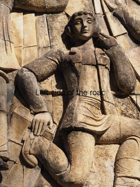
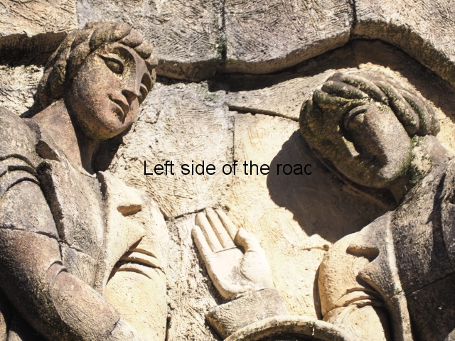
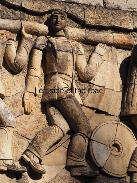
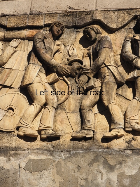
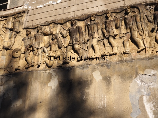
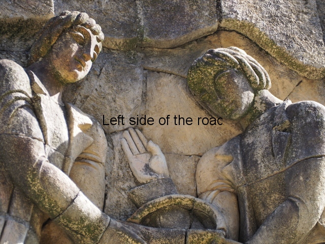
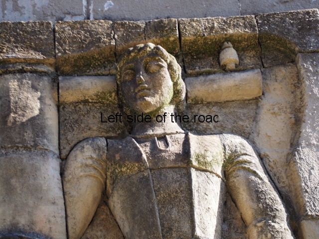
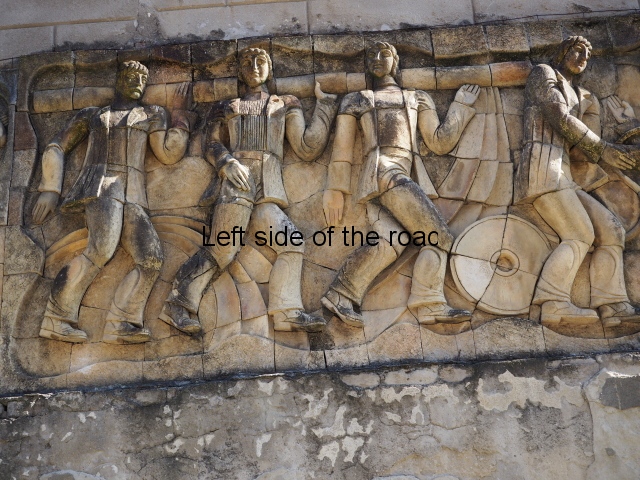
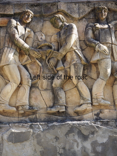
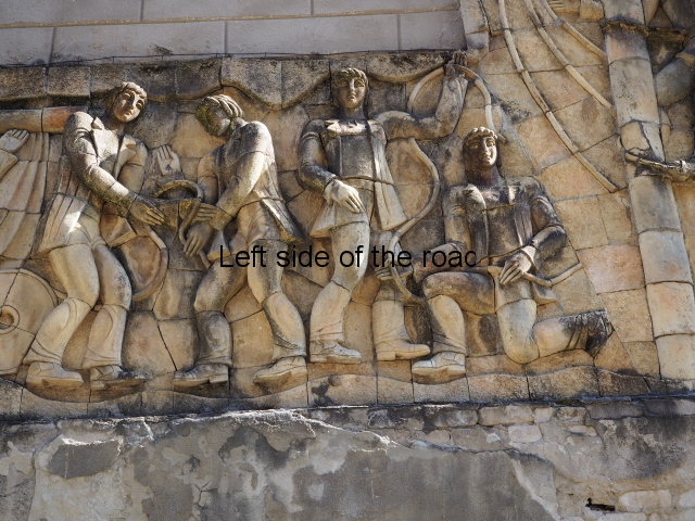
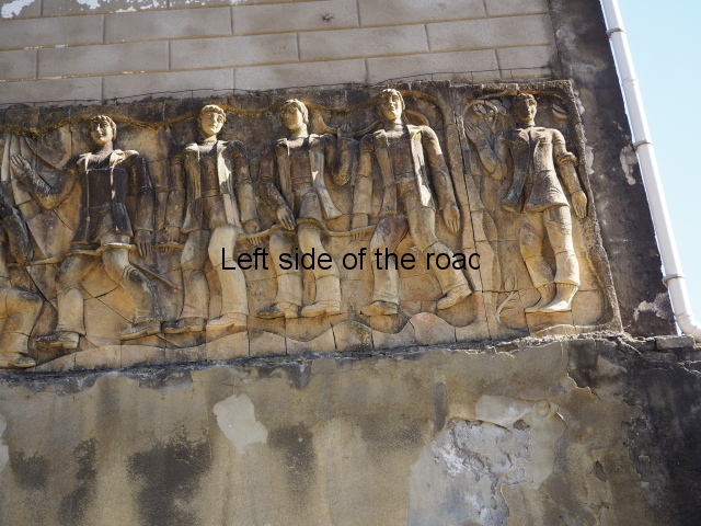
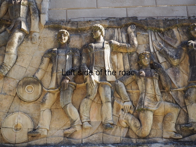
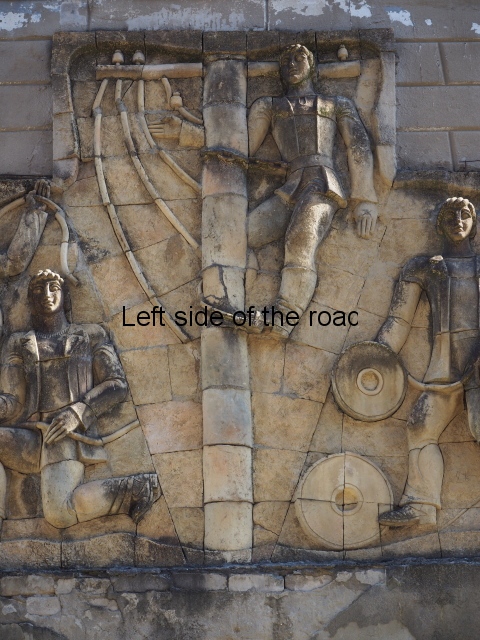
Although the main body of the mural – which stretches the width of the shortest wall of the large rectangular telephone exchange – depicts men (and they are all men) in the task of erecting telegraph poles in an effort to create a means of long distance communication between the young couple at the extreme right and left of the mural. This is a 20th century activity but their look is essentially from the pre-revolutionary period.

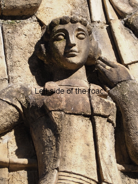
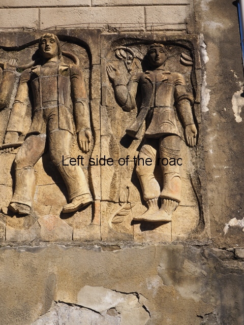
This is especially the case if you look at the heads of all the workers. Their hairstyles are what you’d expect to see on some classical Greek sculpture and even their clothes point to an earlier era. This more ‘traditional’ dress is accentuated with the style of the clothing of the two young people at either end. It says more late 19th rather than late 20th century.

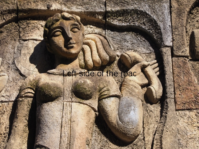
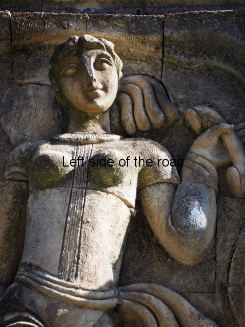
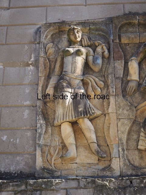
All the activity in the centre seems to be geared to uniting these two young ‘lovers’. They are in rural settings whereas the telecommunication workers indicate a city and industrial environment. The young woman is bringing a telephone receiver (the style of which you only see in museums now but which was ubiquitous for the majority of time of telephonic communication) to her left ear. Why the male doesn’t also hold a handset is confusing. He just seems as if he were walking on a cloud, not really aware of anything.

Georgian post-socialist depiction of women

Georgian post-socialist depiction of women

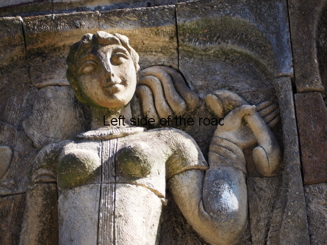
As for the young woman I have to make reference to her breasts as the unreal depiction of the female breast is ubiquitous in Georgian sculpture of the revisionist (post Socialist) period in the country’s cultural history. The breasts seem like small bowls that have been plunked on their chests. The vast majority of sculptures of women produced during times of the construction of Socialism I wouldn’t exactly say play down the female form but in Georgia it wasn’t until the success of revisionism that the emphasis on shape, and sexuality, seems to have become the norm.

This can be seen most obviously (sic) in the large sculpture of ‘Mother Georgia’ in the hills above Tbilisi. There are other examples; on the market mural, the sculptural group in the centre of the town as well as a number of (damaged) female sculptures in the courtyard of the Kakabadze Fine Art Gallery all in Kutaisi; the facade of the magistrates court in Tskaltubo; and even on the large sculpture of ‘Victory’ which dominates the hill above the grave of the Unknown Soldier in Vake Park in Tbilisi. (Links to these locations to follow.)

Contrast all these depictions with the only two female sculptures from the Socialist period still on public show, that I’ve seen in Georgia, which are part of the façade of the Rustaveli Cinema on Rustaveli Avenue in the centre of Tbilisi.

If we refer to another country which depict women in Socialist Realist art then there are many examples in Albania. To select just a couple there’s the the statue of Liri Gero (behind the National Art Gallery) in Tirana – but contrast that with the very recent sculpture in her home town of Fier where she looks like a 21st century young woman out on the town on a Friday night – or the sculpture of the female partisan and child in the Lushnje Martyrs’ Cemetery

How the mural is made

Method of construction

Method of construction

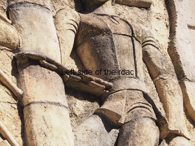
The method of construction is also quite unique (at least for me) in that rather large chunks of the terracotta seem to be made and then all is revealed when the pieces are put together as in a very large, three dimensional jigsaw puzzle. This same technique is also used in the mural on the west facing wall of the market in Kutaisi – not far from the marshrutka (mini-bus) stop to Tskaltubo. More information will be provided as and when I come across it.

Location

On the left on left as you go down Tseretseli Street from the main bazaar towards Central Park.

GPS

42.3271

42.6001

How to get to Tskaltubo

Marshrutka number 30 leaves from its terminus on the western side of the Red Bridge, which crosses the Rioni River beside the main Kutaisi market. Closer to the market is the stop for a number of buses but you walk through that area (passing a cheap out door bar on the right) to cross the red painted iron bridge. The marshrutka will be on the left once on the other side. They leave roughly every 20 minutes. Cost GEL 1.20 (not the GEL 2 as in some guide books – although some of the drivers will take the GEL 2 and say nothing although others are honest). The price will be on a piece of paper somewhere, normally at the front of the vehicle.

Journey takes about 30 minutes to get to the centre of Tskaltubo. Once you cross the railway track (after 20 or so minutes) you are at the bottom end of Central Park. The marshrutka then follows Rustaveli Street on the eastern edge of the park passing the railway station and information office, the Municipality, Court and Police buildings, and then the entrance to the huge (now luxury 5 star) Tskaltubo Spa Resort all on the right. (The marshrutka takes the same route when going back to Kutaisi and can just be flagged down anywhere along this road.)

When you get to the northern edge of the park the road widens out and after passing the Sports Palace on the left and the now being renovated (although seemed stalled to me) huge Shakhtar Sanatorium on the right the marshrutka heads up to the main market. Get off when the bus turns right at the corner by the ugly, modern Sataplia Hotel. This is where you would look for another marshrutka if you wanted to go to the Prometheus Cave.

To get to the telephone exchange and the Central Park go back along Tseretseli Street (not the road you came up) and the mural is on the left just as the road heads slightly down hill – the park spread out in front of you.

More on the Republic of Georgia