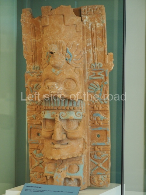
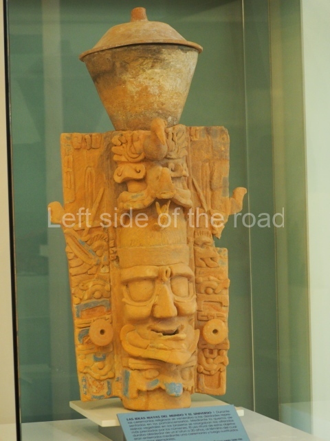
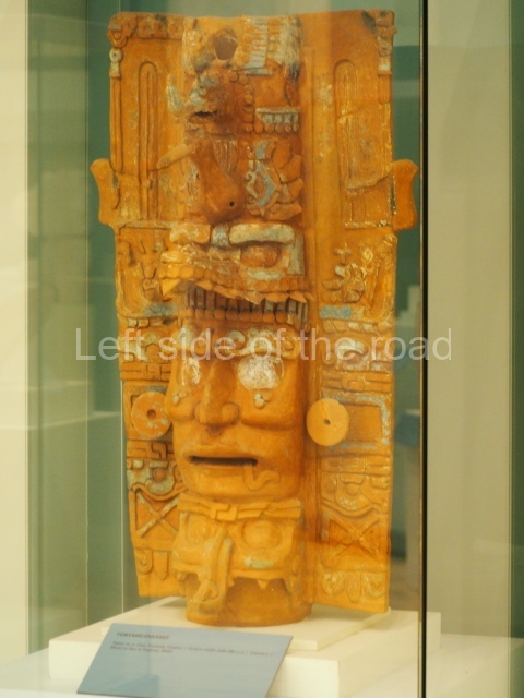
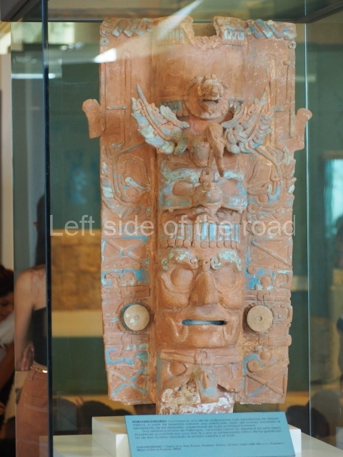
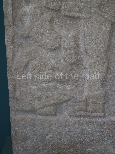
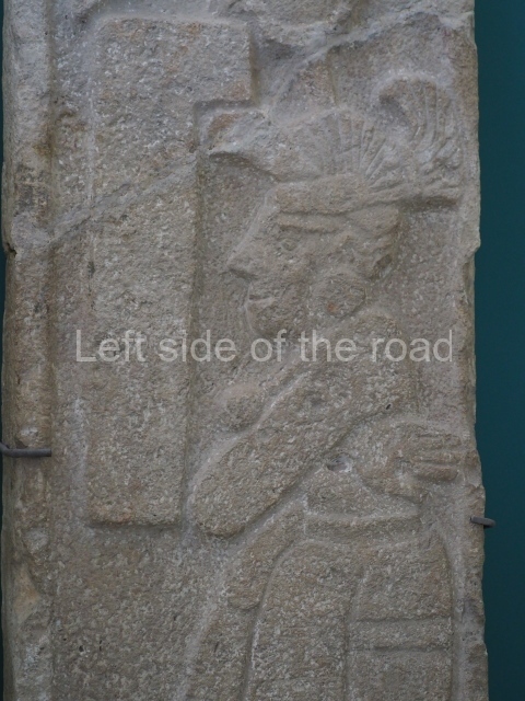
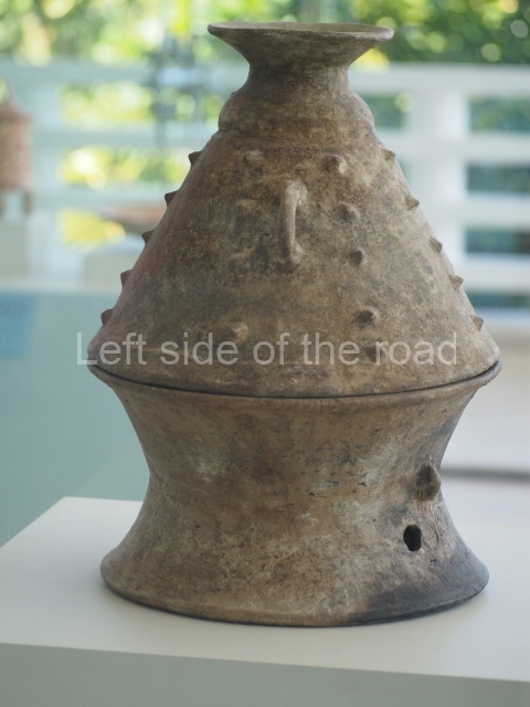
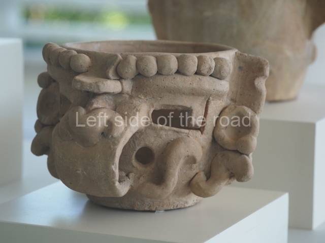
El Meco – Quintana Roo – Mexico

El Meco

El Meco

More on the Maya

El Meco – Quintana Roo

Location

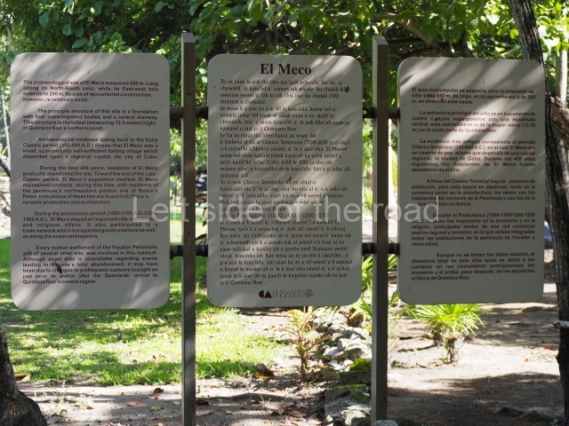
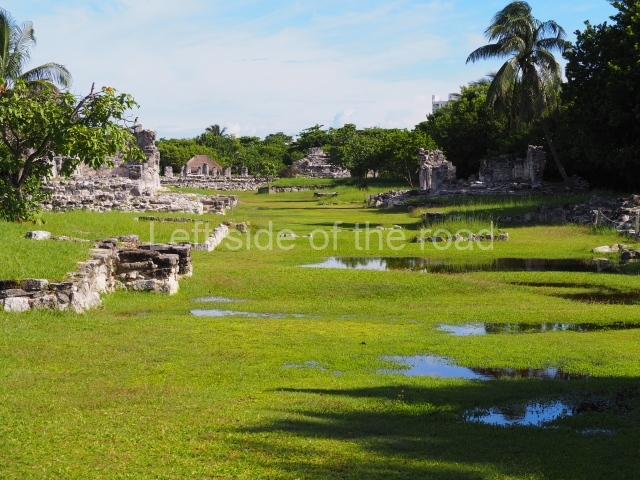
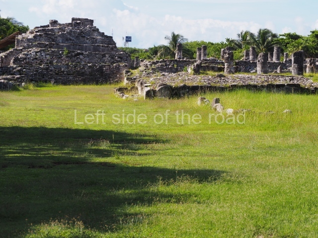
The pre-Hispanic settlement was built on a slight elevation 4 m above sea level, in an area of marshlands and mangroves. Although relatively small, El Meco is one of the largest settlements on the north coast of Quintana Roo. The site was split down the middle when the current road was built, with part of the residential area and a pre-Hispanic pier occupying the section closest to the sea. El Meco lies north of the city of Cancun, just 2.7 km away on the Puerto Juarez/Punta Sam road.

History of the explorations

We owe the earliest mention of El Meco to Alice and Augustus Le Plongeon, who visited the site briefly in 1887 and described the plaza and main pyramid. In 1891, Teobert Maler published a few notes and a map, as well as the first known photograph of the central building. A few years later, in 1895, William Holmes made a short expedition to the site and contributed new descriptions and sketches, and also discovered two new serpent heads. The British researchers C. Arnold and F.K.T. Frost passed through the site between 1907 and 1908. The most important work of the early 20th century was conducted in 1918 by Samuel K. Lothrop, of the Carnegie Institution in Washington, who contributed descriptions and detailed drawings of the main structure. Thomas Gann, a member of the same expedition, published his impressions in 1924. Thirty years passed before the first stratigraphic wells were excavated, shedding light on the first ceramic sequence at the site; we owe this knowledge to William T. Sanders, who worked at the site in 1954. In the 1970s, a team of archaeologists from the INAH, led by Fernando Robles C. and Anthony P. Andrews conducted the first official excavations at the site, and since the 1990s Luis Leira G. (INAH) has been in charge of the works.

Pre-Hispanic history

The research conducted to date has confirmed that the first human occupation of El Meco dates back to the Early Classic, when it must have been a small fishing village that owed allegiance to a larger site further inland, such as Coba. Everything suggests that the site was abandoned for an interval of some 400 years and then reoccupied around 1000 to 1100 AD. Judging from the architectural style and ceramics corresponding to that period, the new population appears to have been of Itza and Cocom descent, from the western part of the Yucatan Peninsula. Between AD 1200 and the arrival of the Spaniards in the 16th century – namely, the period known as the Postclassic – El Meco experienced a construction boom and developed closer political and economic ties with all the sites on the east coast. We do not know the original name of the site. El Meco is a reference to the limp of a local resident in the 19th century who owned a coconut palm plantation near the lighthouse by the beach and whose nickname was adopted for the ruins. Some researchers have suggested that El Meco might be the Belma of the 16th century mentioned by the chronicler Oviedo y Valdes as the administrative centre of Ecab, one of the most important provinces in the region on the arrival of the Spaniards.

Site description

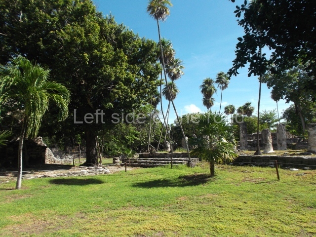
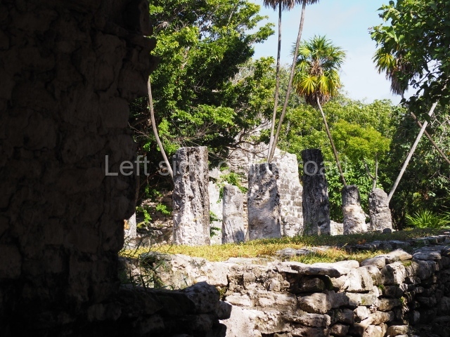
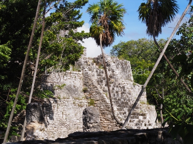
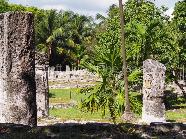
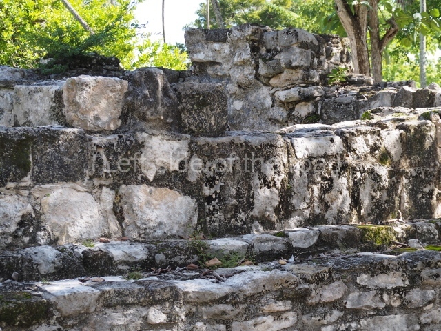
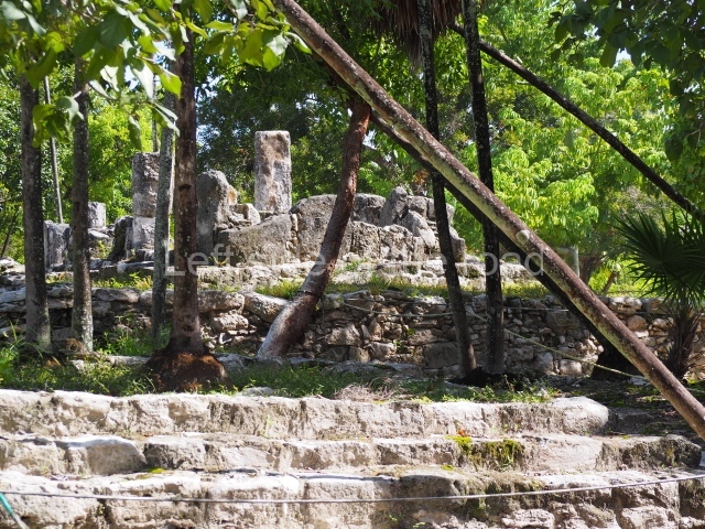
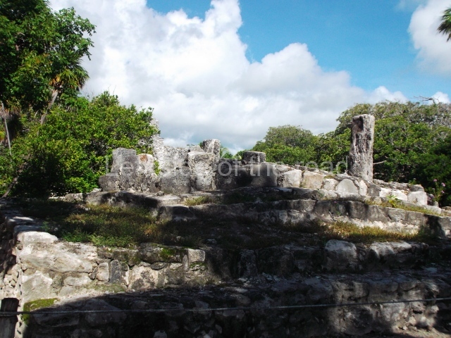
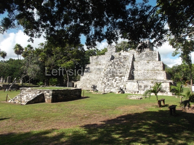
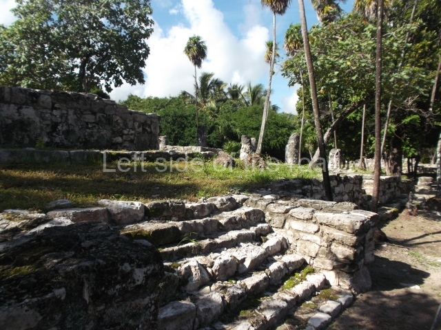
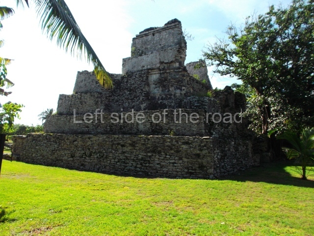
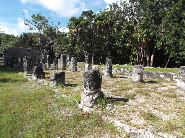
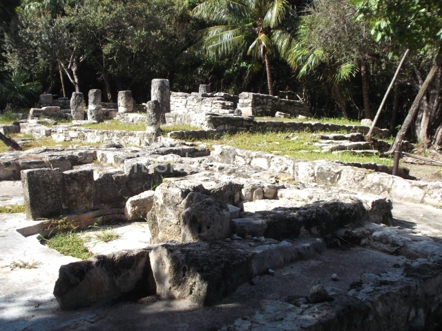
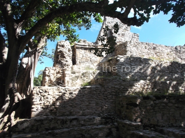
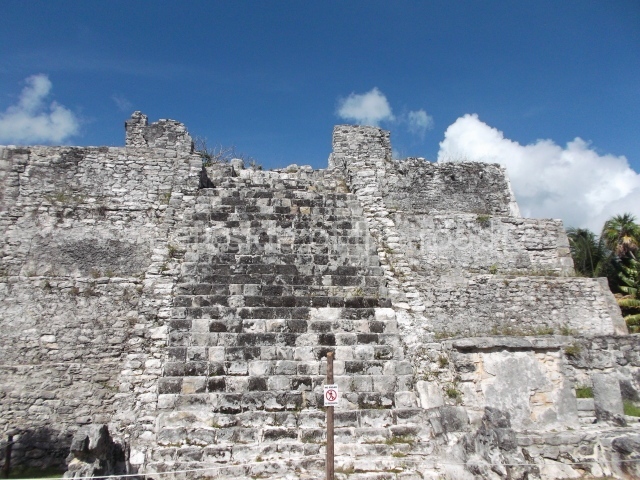
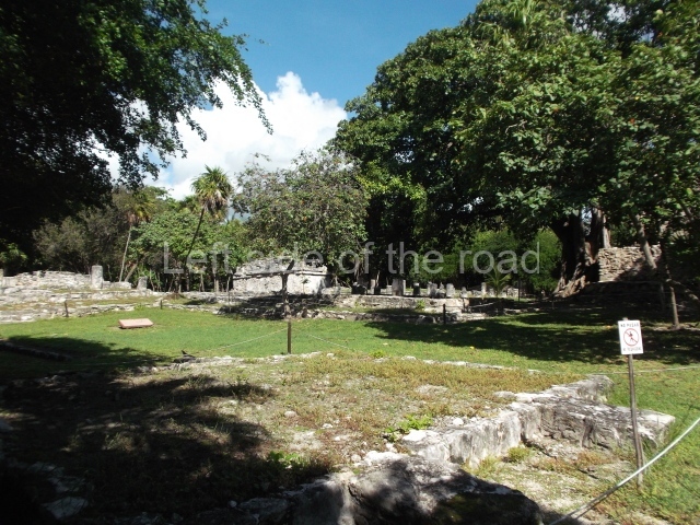
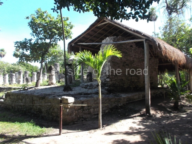
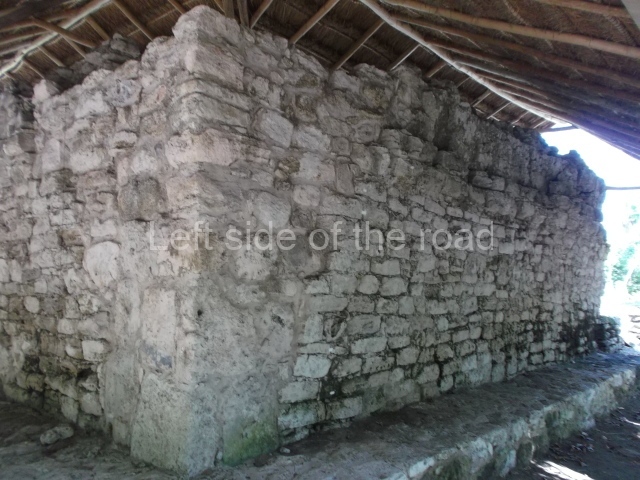
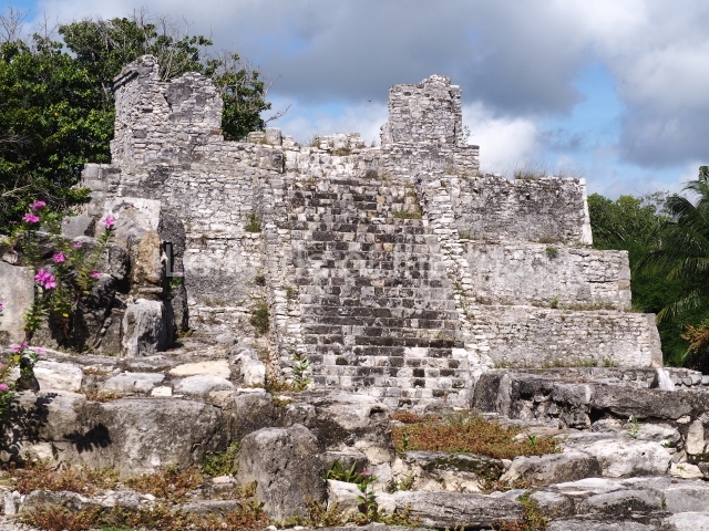
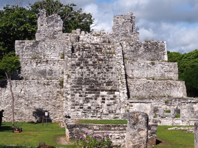
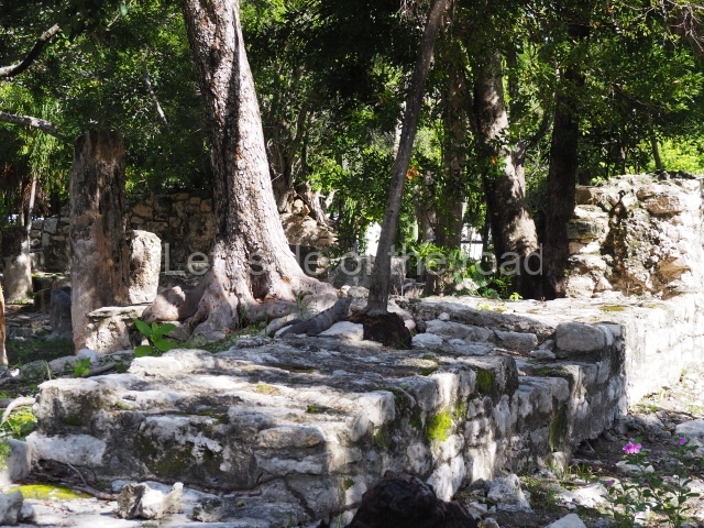
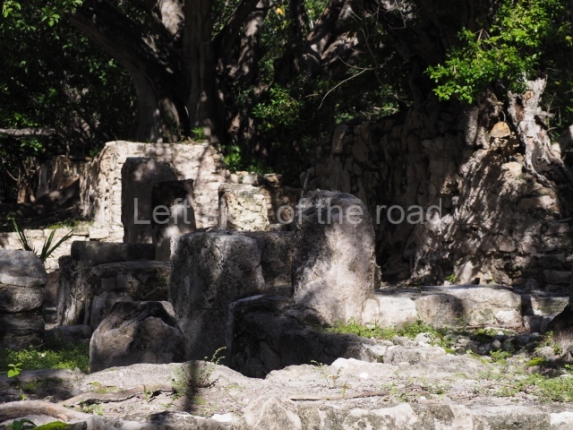
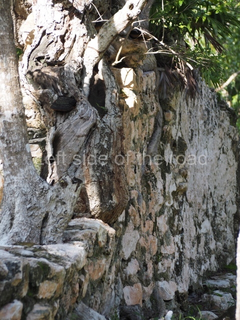
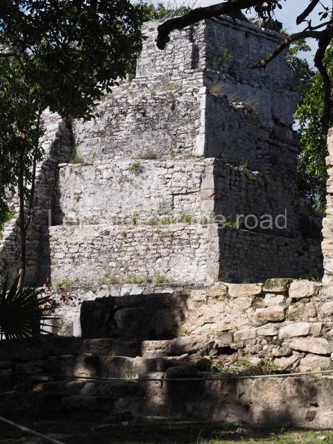
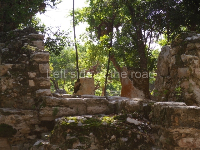
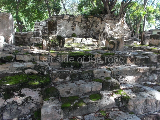
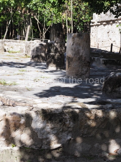
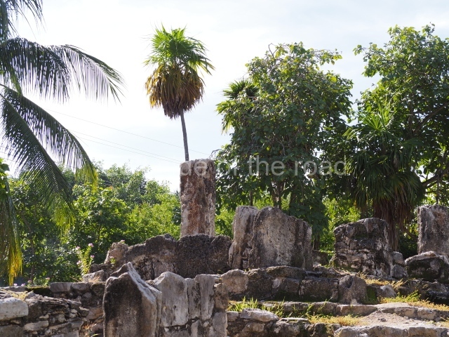
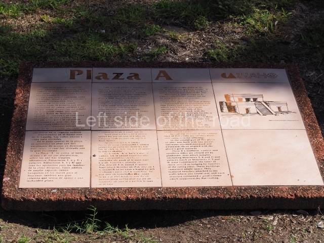
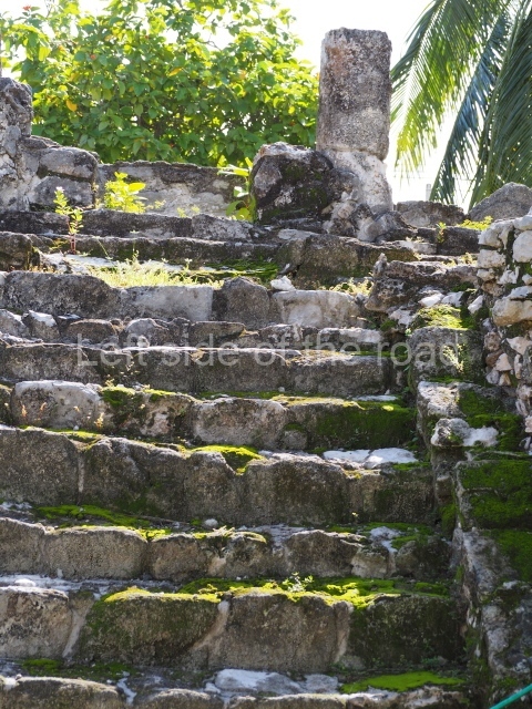
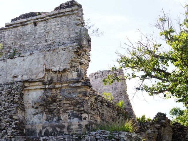
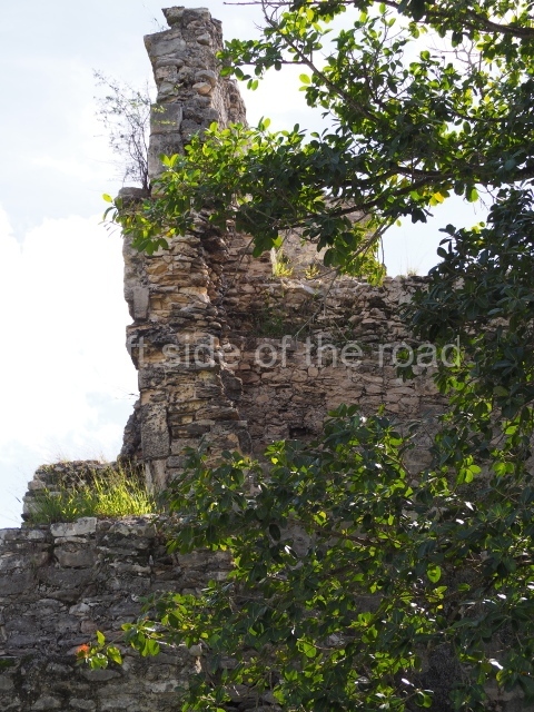
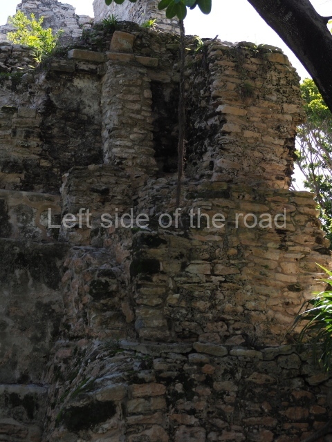
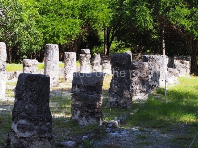
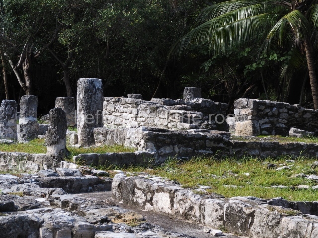
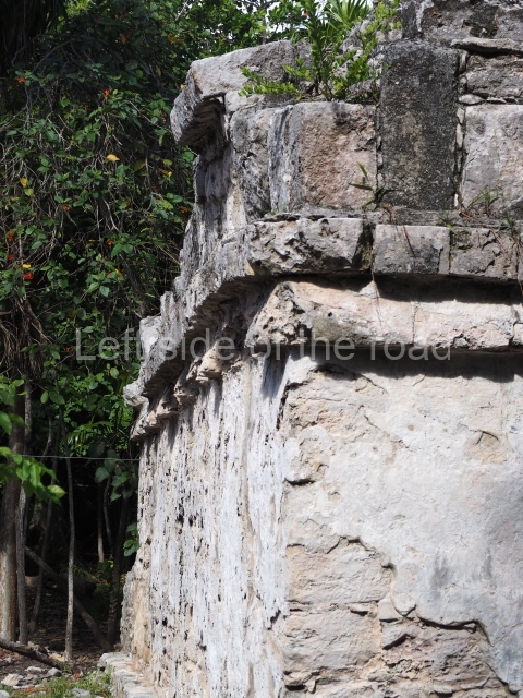
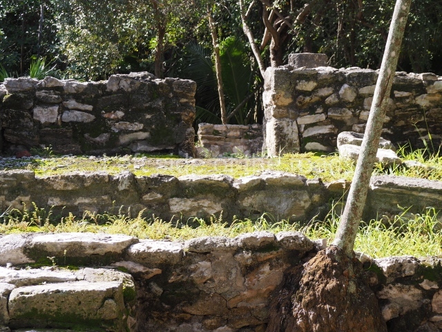
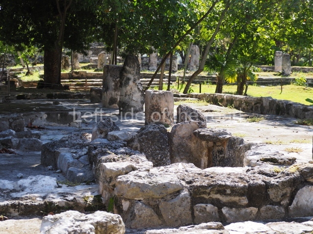
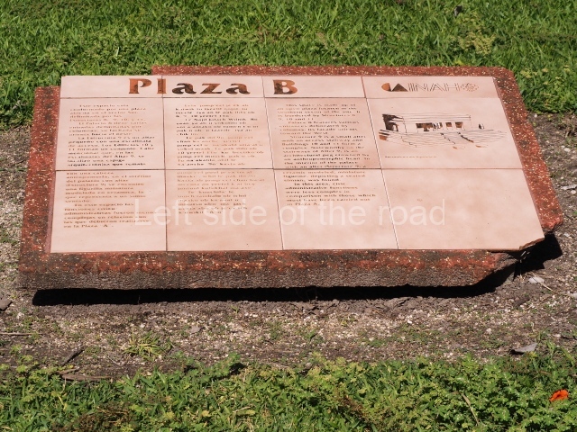
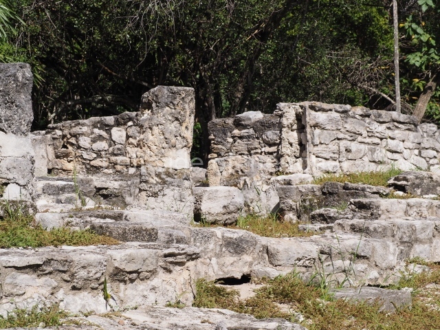
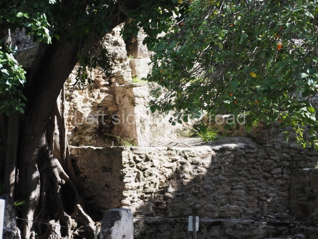
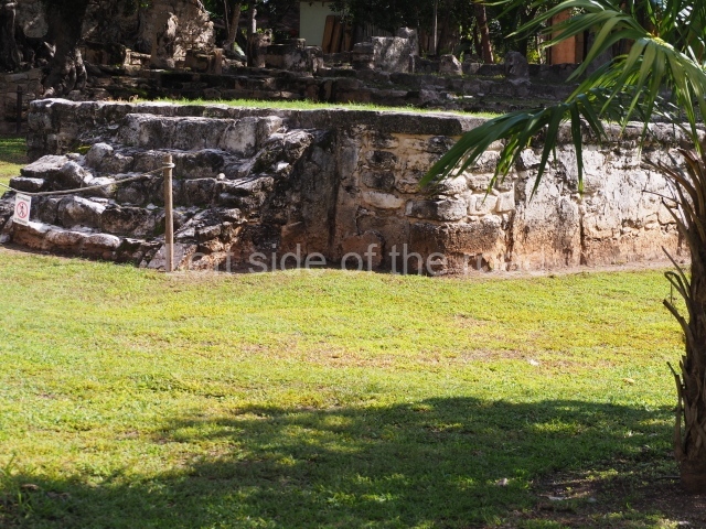
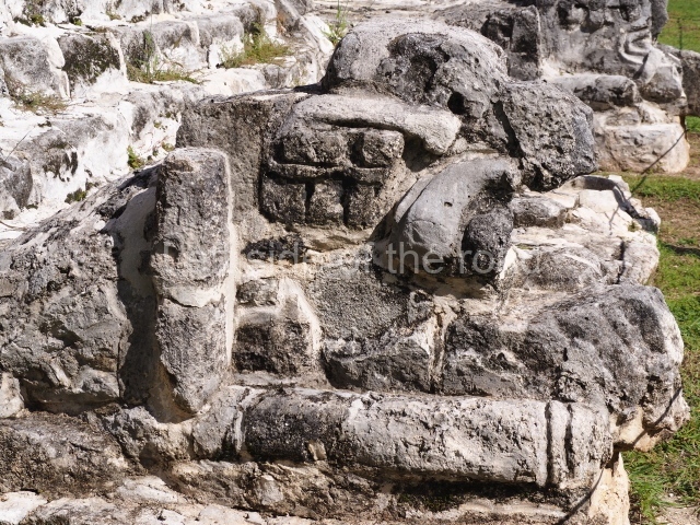
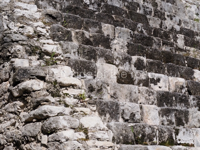
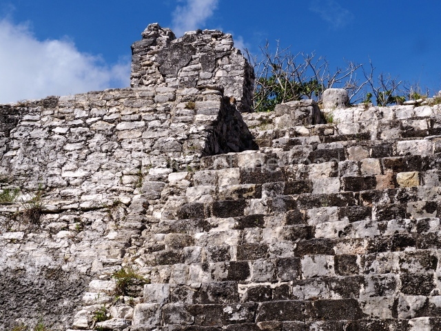
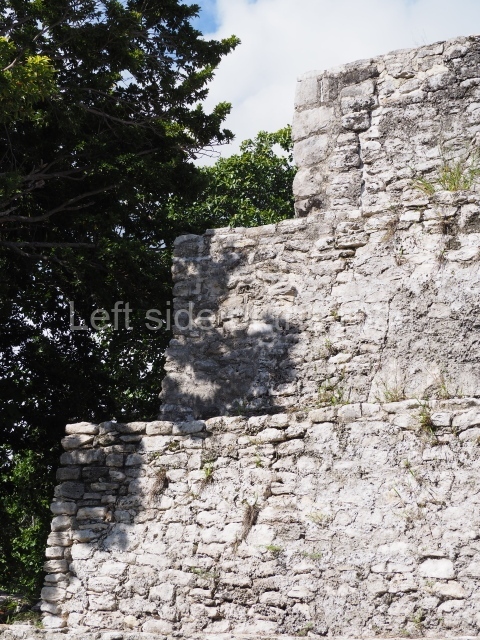
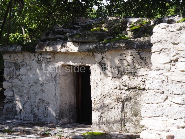
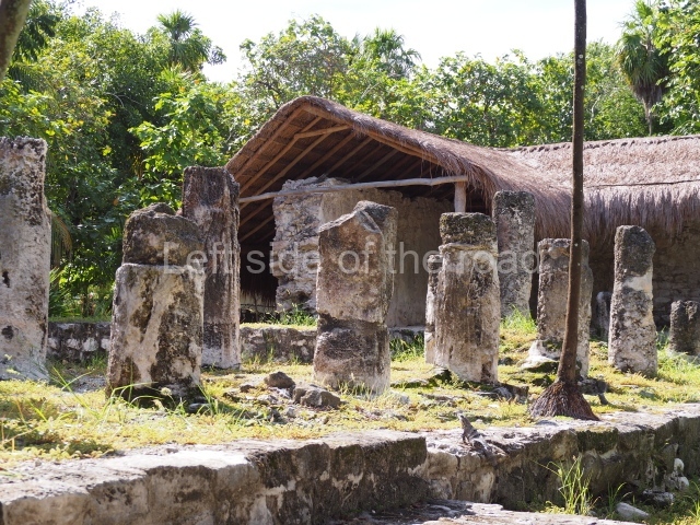
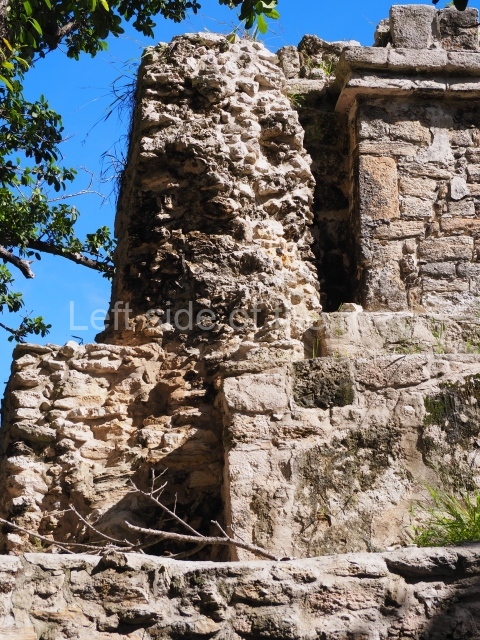
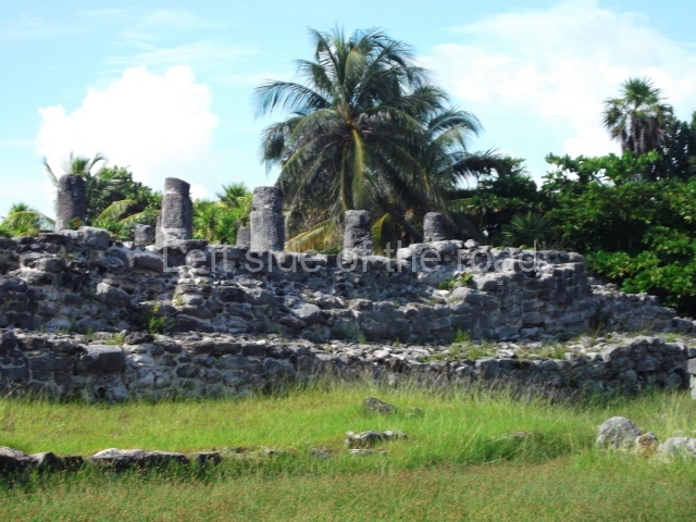
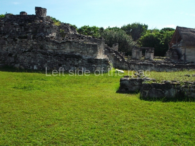
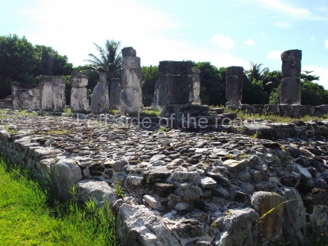
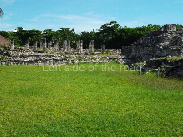
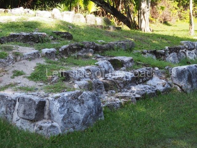
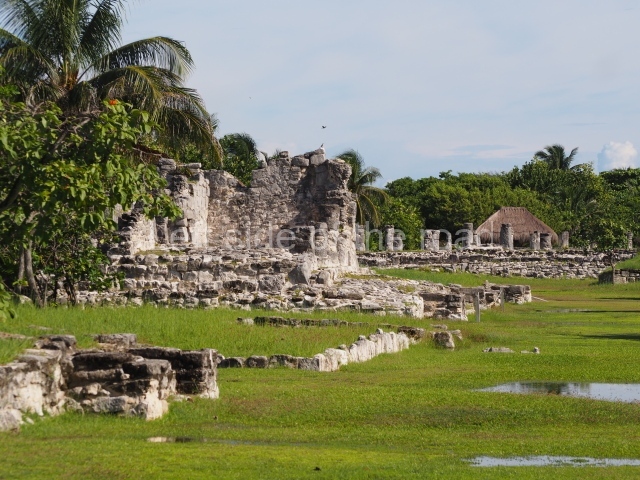
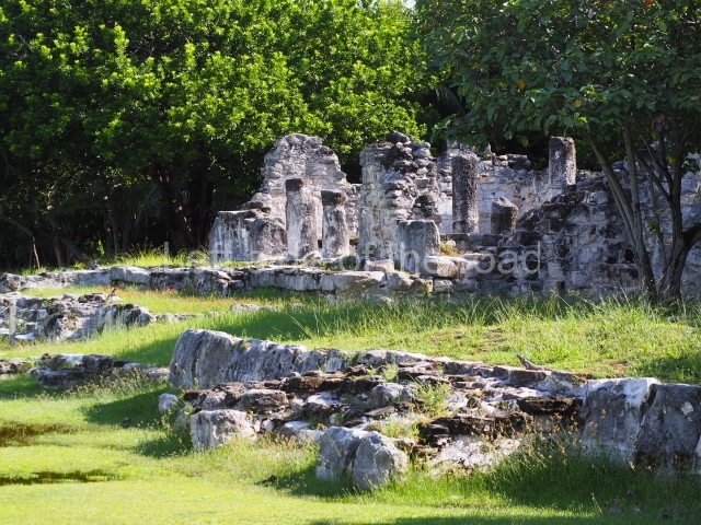
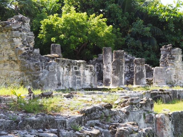
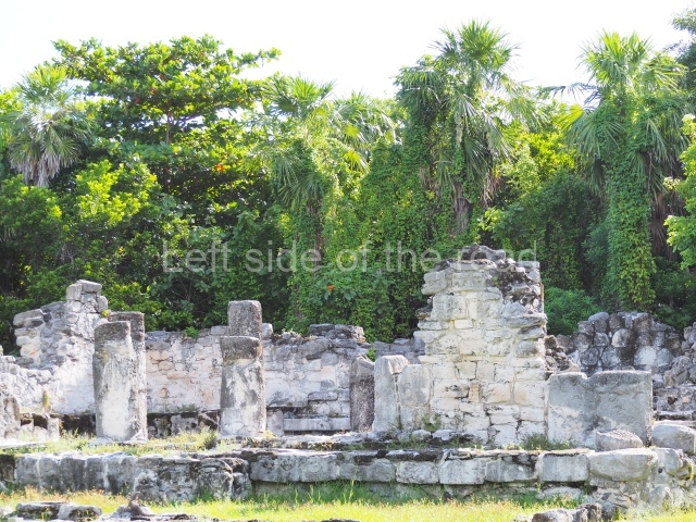
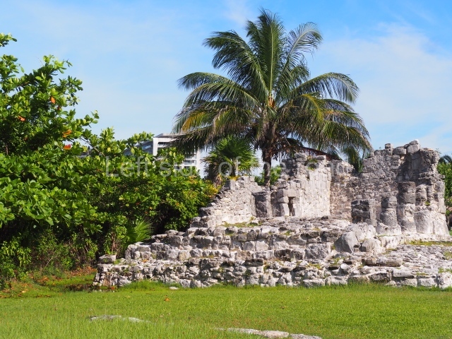
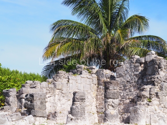
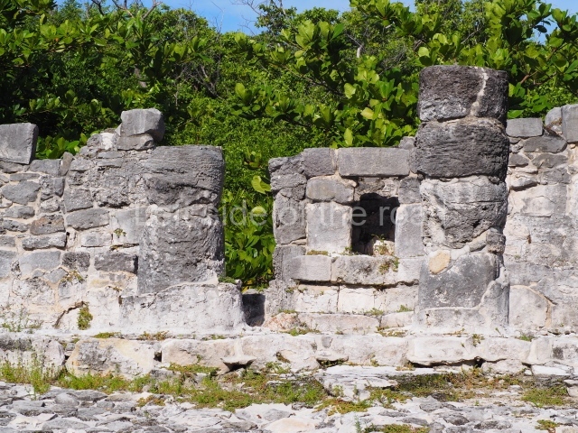
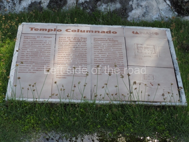
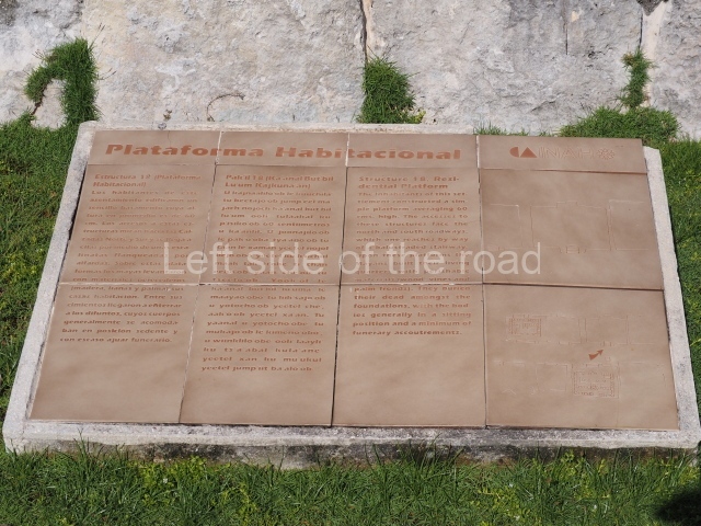
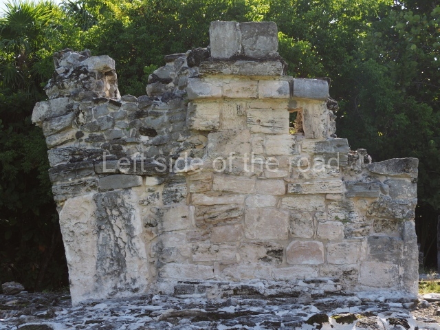
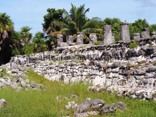
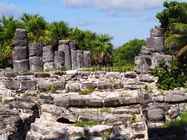
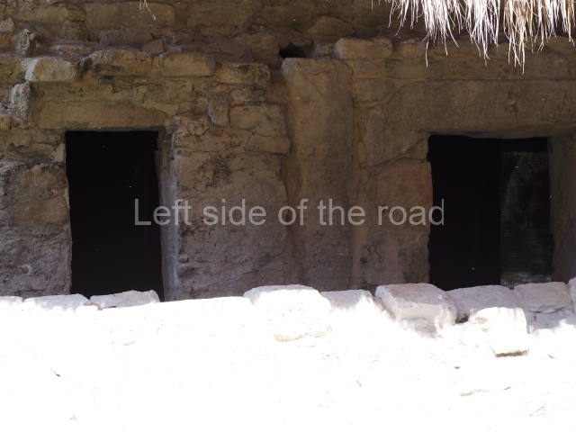
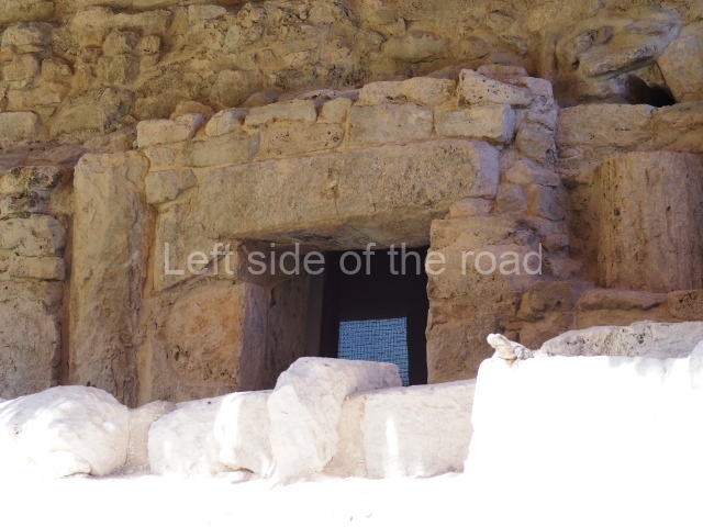
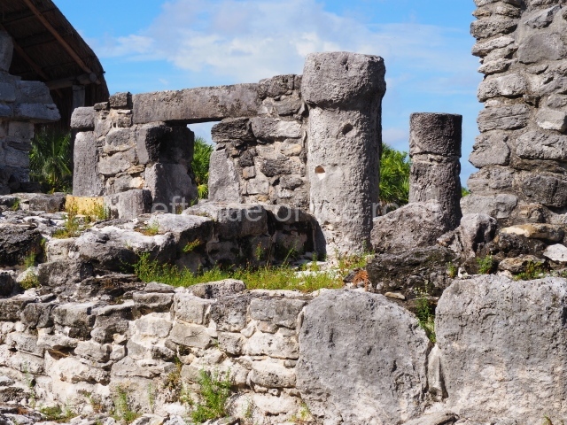
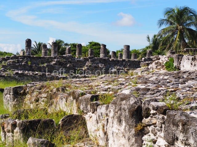
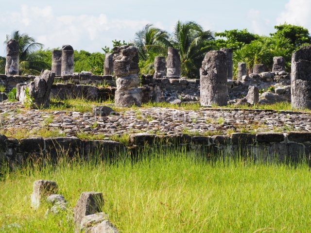
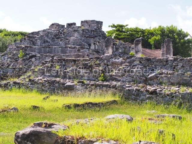
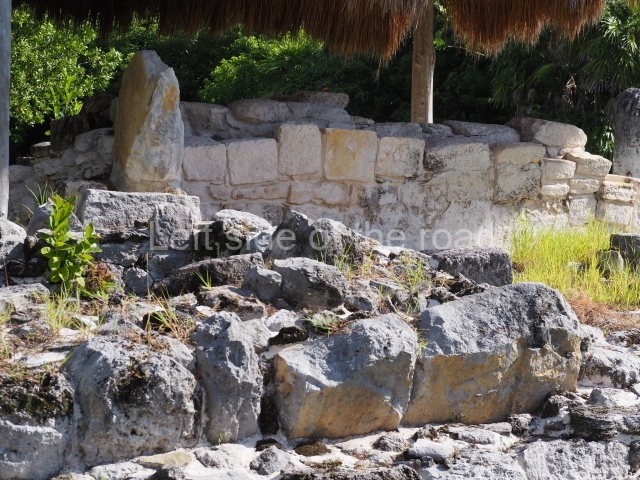
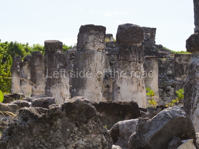
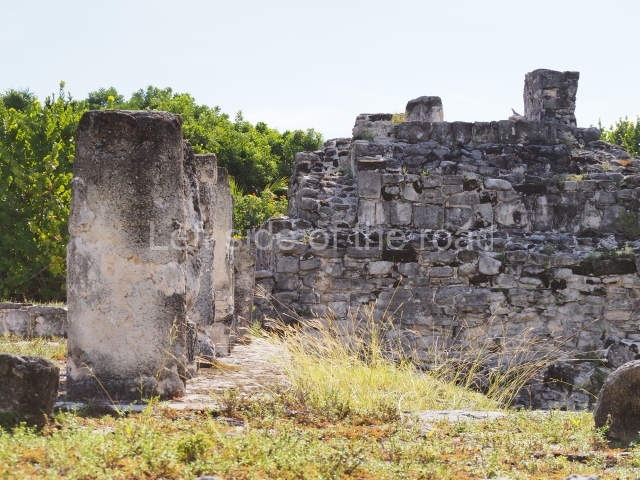
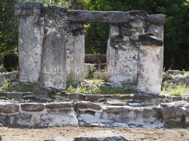
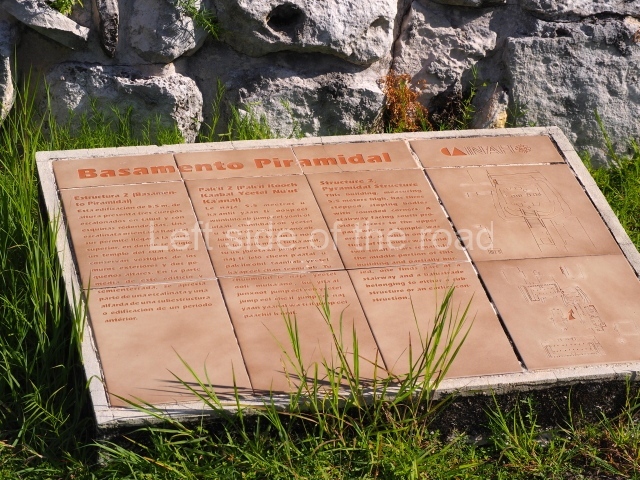
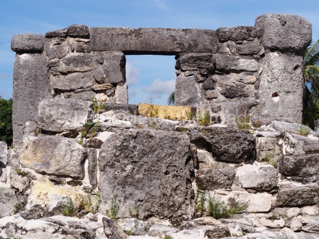
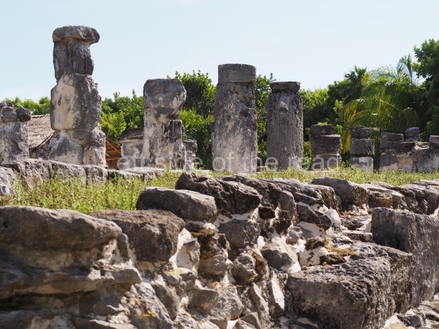
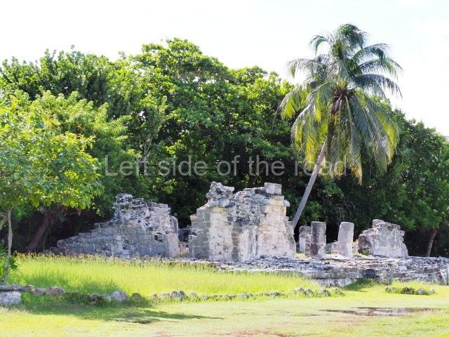
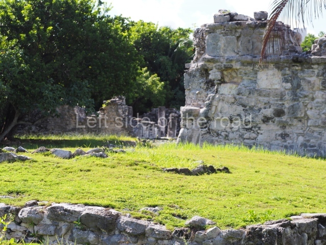
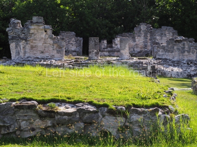
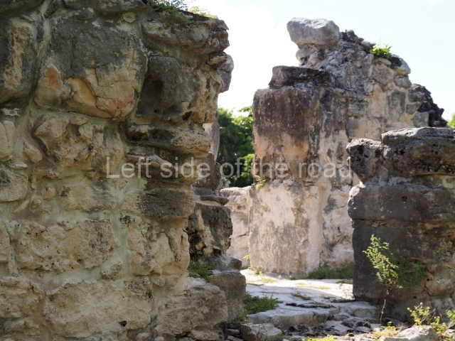
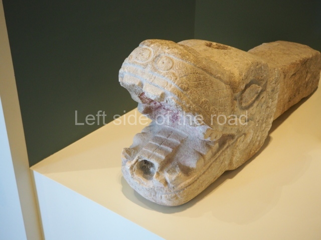
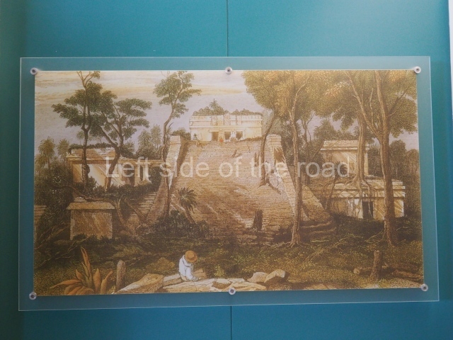
The orientation and layout of the buildings in the core area of El Meco confirm their dual ceremonial and administrative function. All of the constructions are arranged around a plaza, at the centre of which stands the most important structure of all, known as the Castillo. This building faces east, towards Isla Mujeres (‘Island of Women’), with which it maintained close ties. Square in plan and standing 12.50 m high, it is the tallest building on the north coast of Quintana Roo and probably served as a reference for the ancient seafaring Maya. It displays three construction phases and is composed of a four-tier platform with a balustraded stairway in the middle culminating in two serpent heads, nowadays greatly eroded and barely recognisable as such. At the top of the structure is a temple with a tripartite entrance in the East Coast style. The excavations revealed the existence of a substructure – a single-tier platform and a small temple with a single entrance. Nowadays, part of this substructure is exposed and visible on the west side of the building. Flanking the building are two constructions; the smaller of the two corresponds to a temple and the other, fronted by columns and small altars, probably to a residence. The architecture around the main plaza is defined by elongated buildings with hypostyle rooms, which may have been used for political or administrative purposes. Given the importance of the site as a commercial port, some of the buildings may well have served as warehouses for products or a market.

Ceramics

Three ceramic groups have been identified at El Meco, providing us with an insight into the cultural development of the site:

Cochuah ceramic group (AD 400-600).

This is the earliest manifestation of human activity and the ceramics found suggest that during the Early Classic their relations were limited exclusively to sites in the north of Quintana Roo.

Hocaba-sotuta ceramic group (AD 1000-1200).

Between the former period and this one, the site was vacated. During this time, El Meco appears to have maintained relations with communities in the Peten/Belize region.

Tases ceramic group (AD 1200-late 16th century).

This period corresponds to the last pre-Hispanic occupation and increased construction activity. The site must have had connections with sites on the east coast of Quintana Roo, although there are certain stylistic similarities with the architecture of the western part of the peninsula. El Meco was abandoned in the late 16th century, like most of the sites on the east coast, due to the new economic, political and religious patterns that accompanied the Spanish Conquest.

Importance and relations

El Meco almost certainly operated as a religious centre during the Postclassic. Due to its coastal location and close ties with Isla Mujeres, it may well have played an important role as a trading port and part of an important trade network along the coast of Quintana Roo during the Postclassic.

Maria Jose Con Uribe

From: ‘The Maya: an architectural and landscape guide’, produced jointly by the Junta de Andulacia and the Universidad Autonoma de Mexico, 2010, pp 433-435.

El Meco

El Meco

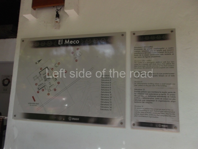
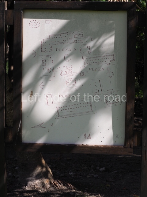
1. The Castle; 2. Structure 3; 3. Structure 6; 4. Structre 8; 5. Structure 12; 6. Structure 18.

How to get there:

From Cancun. Combis leave Parque el Crucero to the north of the main ADO bus station in downtown Cancun. Their destination is Puerto Juarez and/or Puerto Sam. It’s a short 10-15 minute journey. Cost M$10 each way.

GPS:

21d 12’ 38” N

86d 48” 05” W

Entrance:

M$70

More on the Maya

El Rey – Quintana Roo – Mexico

El Rey

El Rey

More on the Maya

El Rey – Quintana Roo

Location

The pre-Hispanic settlement is situated on Cancun Island. Measuring 21 km in length and 400 m at its widest, this is a long strip of land delimited by the Caribbean to the east and by Lake Nichupte to the west. It is surrounded by vast wetlands and mangroves. No one knows the original name but the present-day one is a reference to a sculpture of a human face with an iguana headdress found at the site. El Rey is the largest and most important of the 12 pre-Hispanic sites on the island and chronologically corresponds to the Late Postclassic. It coexisted with San Miguelito, the second largest, Yamil Lu’um (‘undulating land’), Punta Cancun and Pok Ta Pok. However, some of the settlements on the island date back to the Late Preclassic, the most important of which are Coxolnah or ‘house of the mosquito’, situated on a peten or island in the lake area, and El Conchero, a mound of shells and conches left by mollusk-gathering human groups.

History of the explorations

The first geographical reference to the Island of Cancun or Cancuen can be found on a map from 1776 drawn up by the cartographer Juan de Dios Gonzalez. During the 19th century, the island was visited by Captain Richard Owen Smith, John L. Stephens and the Englishman Frederick Catherwood, Alice and Augustus Le Plongeon, William H. Holmes, C. Arnold and F. J. T. Frost; the latter two produced the first drawing of the anthropomorphic head that lends the site its name. In the 20th century, Thomas Gann and Samuel K. Lothrop produced descriptions of various structures as well as several maps and photographs. In 1954, William T. Sanders conducted the first excavations in an attempt to find ceramic materials that would indicate a timeline for the sites of El Rey and San Miguelito. Nine years later, Wyllys Andrews IV led excavations at El Conchero. In the 1970s, Pablo Mayer Guala of the INAH launched the first official research and consolidation project at El Rey. In the subsequent years, the same institution has conducted various consolidation and maintenance works, led by Enrique Terrones G.

Pre-Hispanic history

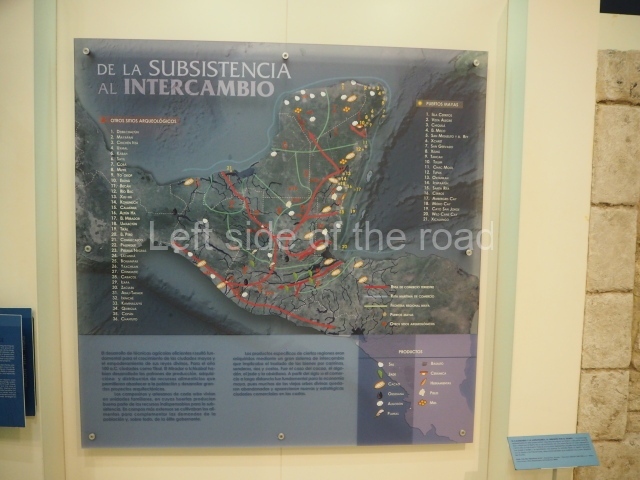
When the Spaniards arrived with Francisco Hernandez de Cordoba in 1517, the Yucatan Peninsula was divided into 19 chieftainships and Cancun Island belonged to Ecab. The principal economic activities were fishing, farming and the production of salt, honey, copal (a type of resin) and cotton. Between the 13th and 16th centuries, these products were traded via a vast network of terrestrial and maritime routes covering every coast on the peninsula, from Campeche to Central America. Thanks to its location on the edge of the island and status as just one of several coastal enclaves in the pre-Hispanic commercial network, El Rey was able to trade its marine products: dried fish, stingray spines, utensils and ornaments made of shell and conch. In the same way, various foreign goods were imported into the region: basalt grinding stones, knives and flint projectile points, obsidian cores and daggers, beads and earrings made of jadeite and quartz, rings, ornamental bells and copper tweezers. The limited terrain and saline soil shaped the economy of the ancient inhabitants of Cancun Island. Farming alone could not support a large population where scaly fishing, gathering mollusks and turtles provided the staple diet. The island’s occupants build underground pits (chultunes) to store rainwater and supplement the natural sources of fresh water from cenotes and sinkholes.

The pre-Hispanic occupation of the site is denoted by the Tases ceramic group, essentially composed of the Payil, Mama, Navula and Matillas varieties, the latter obtained through trade with the Gulf region of Campeche and Tabasco. The Spanish Conquest led to the disintegration of the trade network on the Caribbean coast, with serious consequences for communities such as El Rey. All the coastal settlements entered a population decline and between the 16th and 18th centuries became prey for English, French and Dutch pirates.

Site description

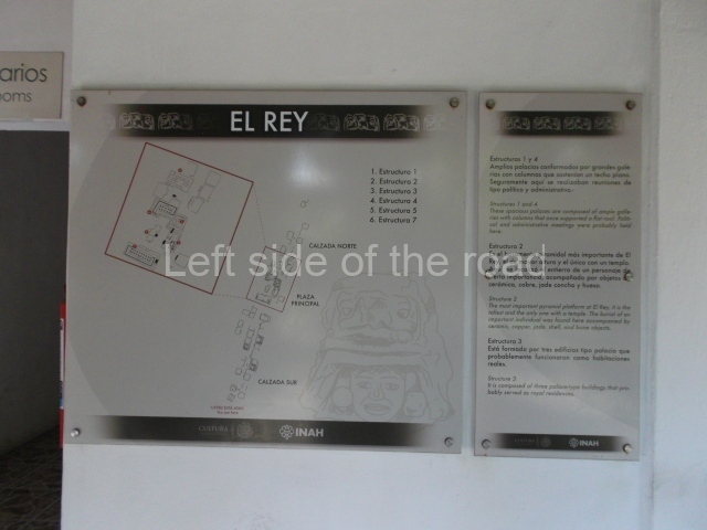
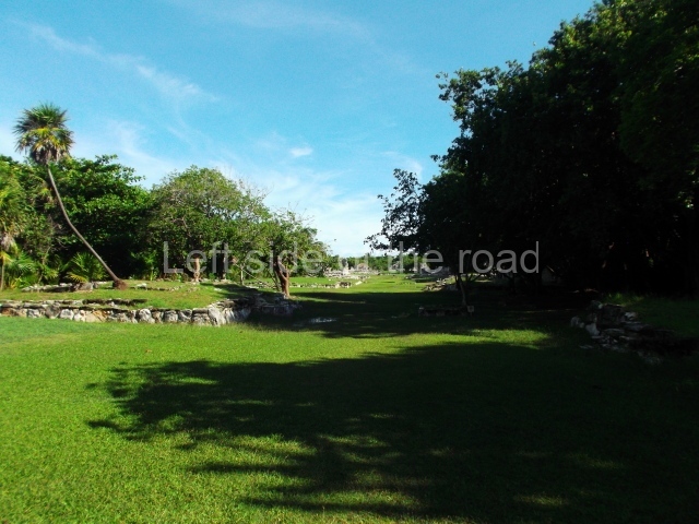
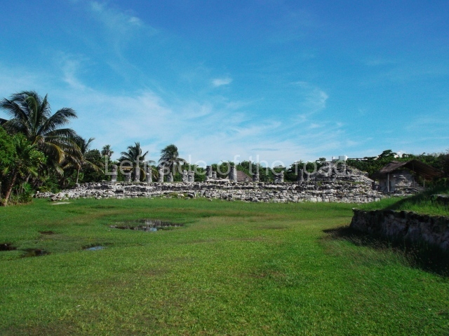
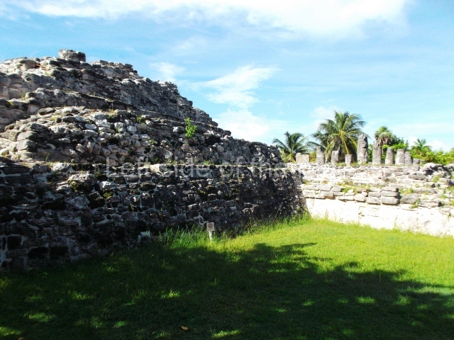
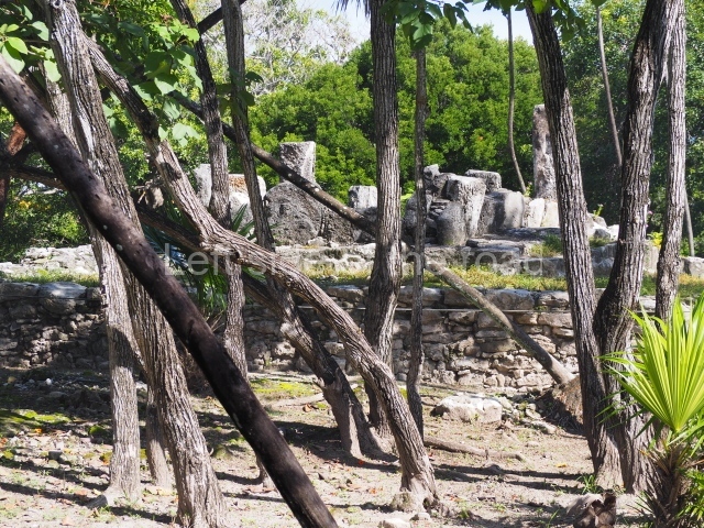
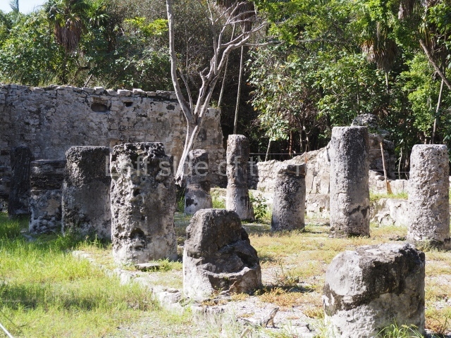
The architectural ruins at El Rey correspond to the Late Postclassic and the East Coast style, and coexisted with the constructions at Tulum, Tancah, Xelha, Xcaret, San Gervasio, Playa del Carmen and even certain buildings at Coba. There are 47 structures at El Rey, which itself covers an area measuring 520 m along the north-south axis and 70 m along the east-west axis. The principal unit or Civic-Ceremonial Precinct is composed of two plazas surrounded by religious constructions comprising temples, altars, adoratoriums and a pyramid platform with architectural evidence of a sub-structure. There are also hypostyle constructions with palatial columns and benches, used as beds, adjoining the interior walls. Situated north of the core area is a 200-m causeway, flanked by residential platforms on which wood and palm dwellings were built. Just south of the core area, three colonnaded temples flank another causeway, this time 300 m in length. Over 500 human burials were found beneath the residential platforms; most show that the humans were buried in a kneeling position. The offerings vary from a simple obsidian or conch knife to ceramic pots and jadeite beads and necklaces. A high ranking dignitary was buried on top of the pyramid platform and the offering associated with this tomb includes a ceramic goblet, two copper tweezers, an arrow shaft made of deer, a conch bracelet and a jadeite necklace. Cranial deformation and dental mutilation can be observed on several skulls, and pathologies such as arthritis and osteoporosis have also been detected, as well as a high degree of vitamin C deficiency. The average lifespan of this population has been estimated at 35 to 40. Like other coastal settlements from this period, El Rey had a texcatl or stone slab for sacrificial use, which confirms that this practice was conducted at the site. The temple known as Structure 3B still contains traces of murals on the interior walls of the vaulted chamber.

Enrique Terrones Gonzalez

From: ‘The Maya: an architectural and landscape guide’, produced jointly by the Junta de Andulacia and the Universidad Autonoma de Mexico, 2010, pp 436-437.

El Rey

El Rey

1-6. Structures 1 to 6.

How to get there;

El Rey is located almost towards the end of the long spit of land which houses the so called ‘hotel’ district of Cancun. It’s to be found just over a kilometre after the Museo Maya de Cancun (Cancun Mayan Museum). Buses R1 and R2, to and from downtown Cancun, run regularly along this road. M$12 per journey.

Entrance:

M$70
More on the Maya

Cancun Maya Museum

Cancun Maya Museum

Cancun Maya Museum

More on the Maya

Cancun Maya Museum

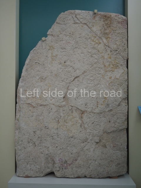
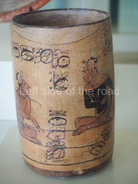
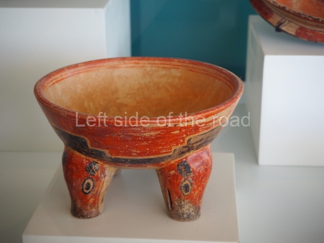
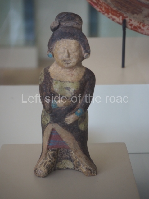
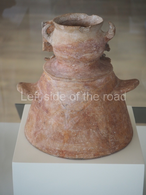
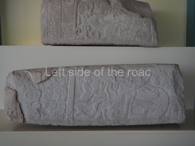
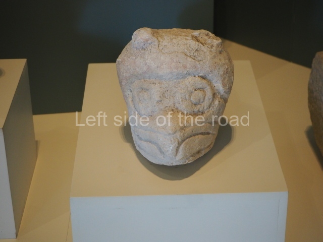
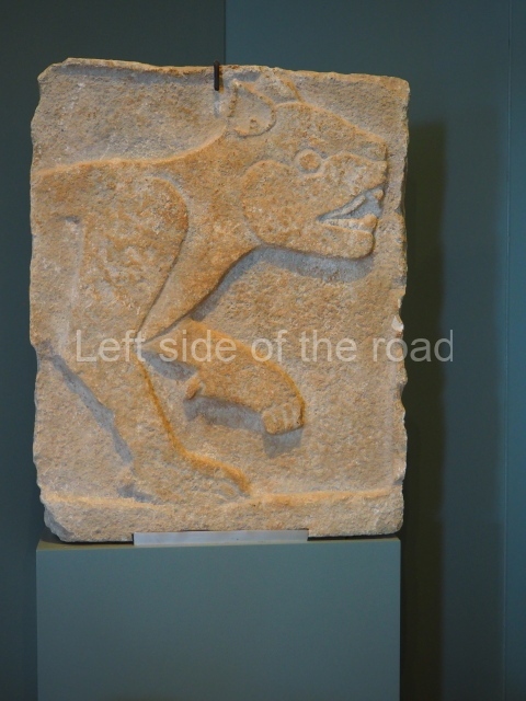
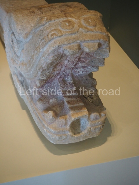
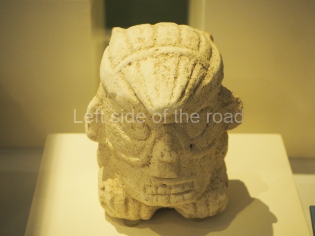
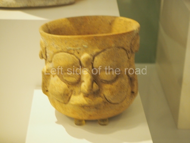
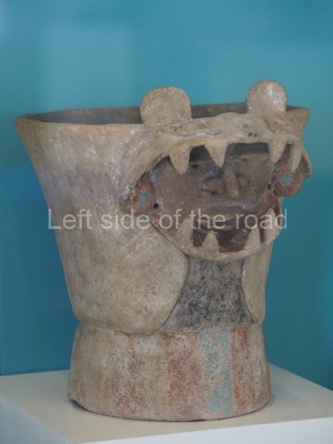
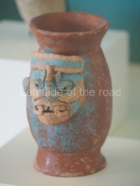
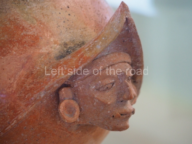
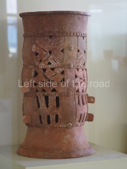
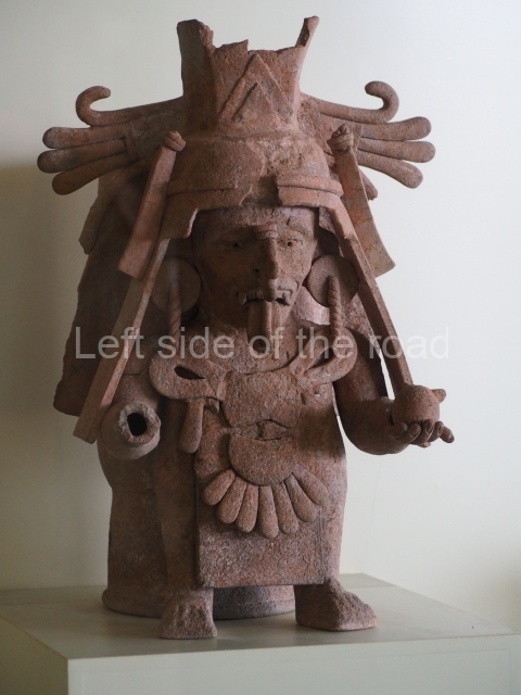
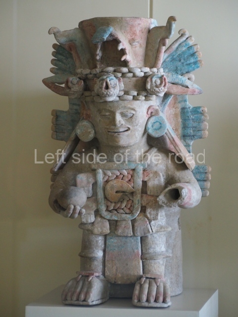
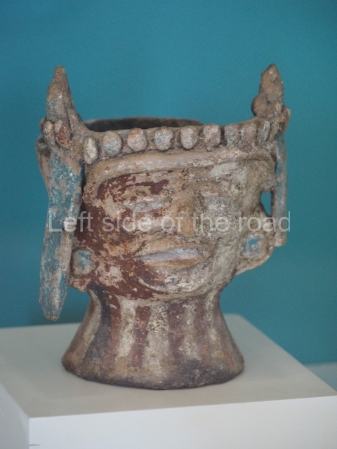
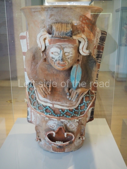
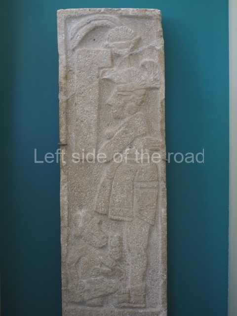
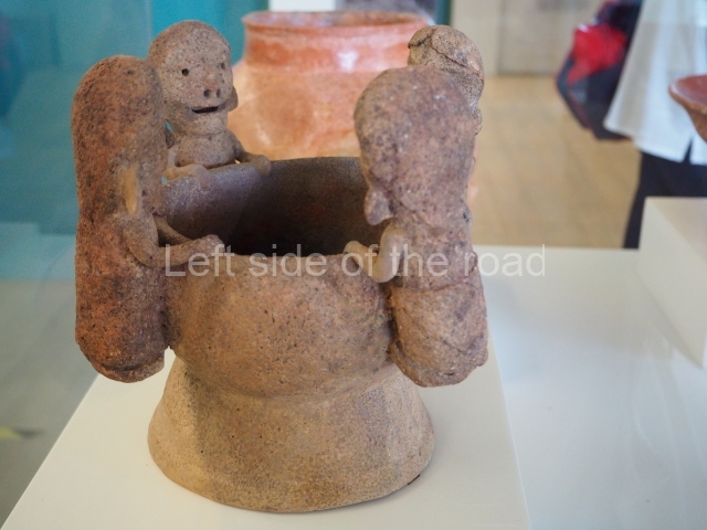
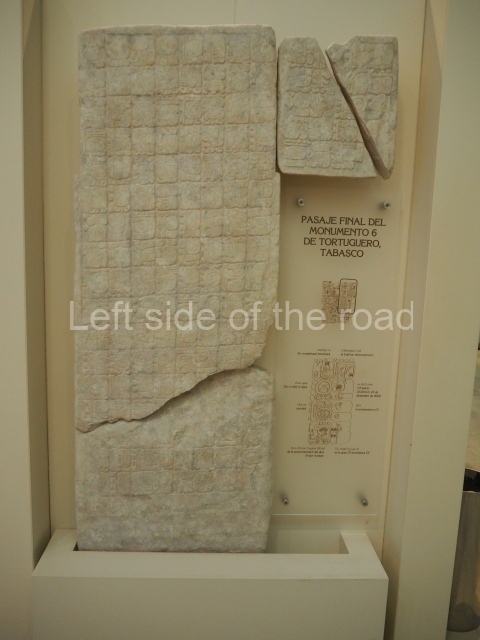
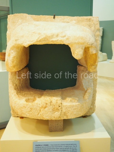
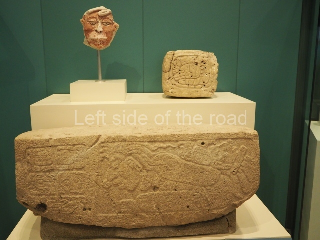
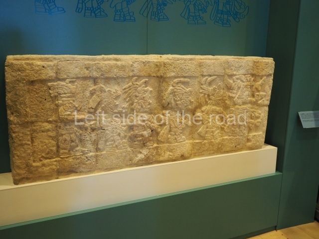
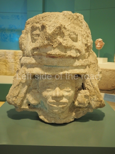
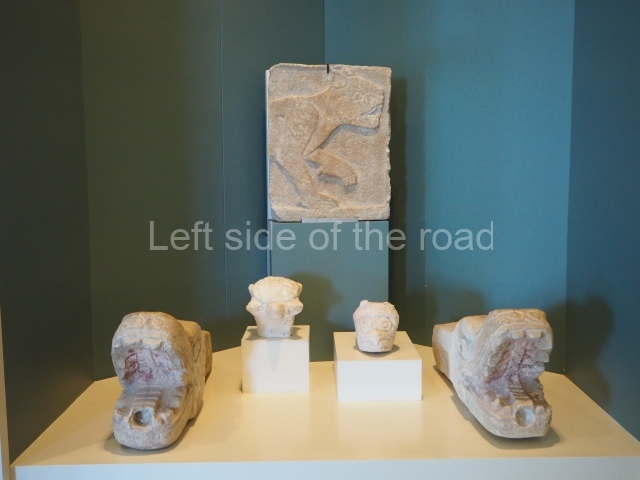
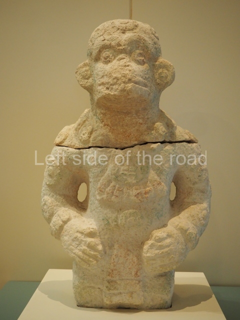
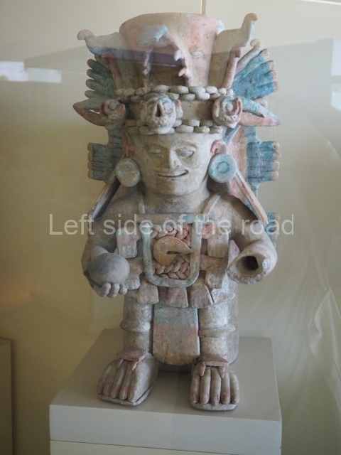
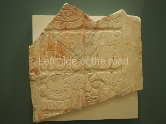
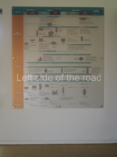
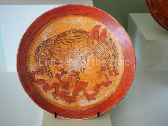
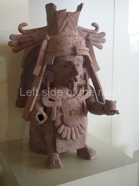
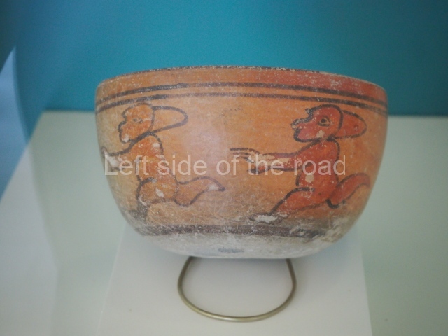
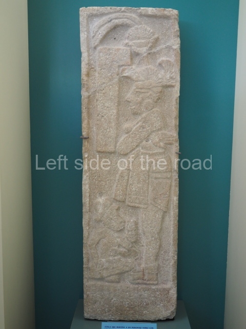
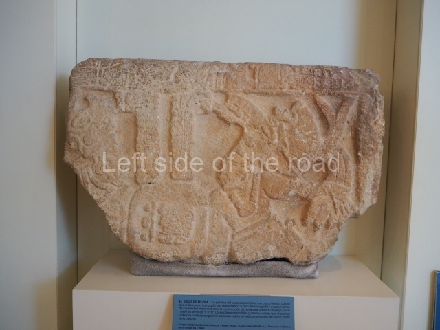
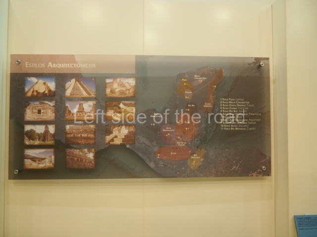
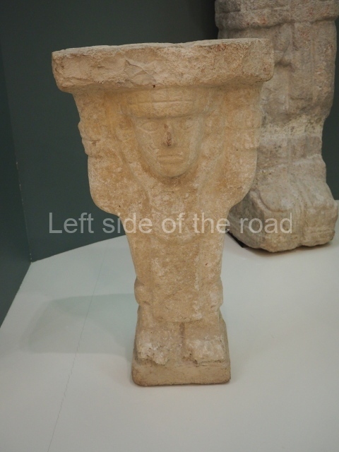
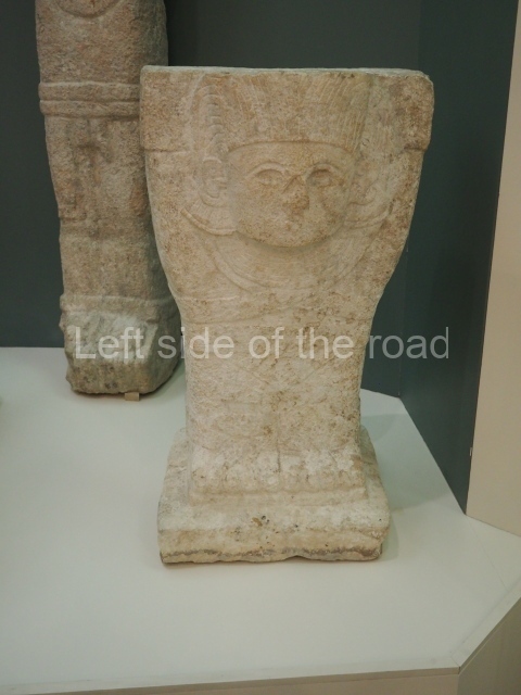
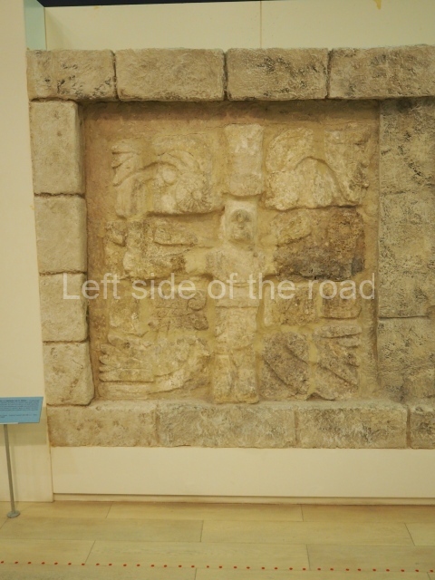
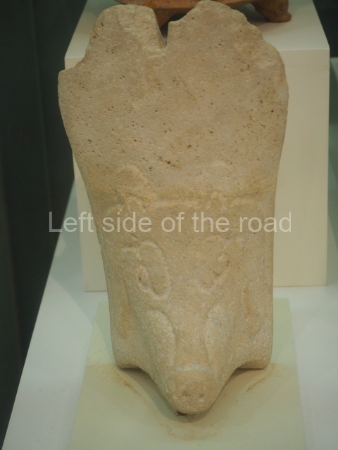
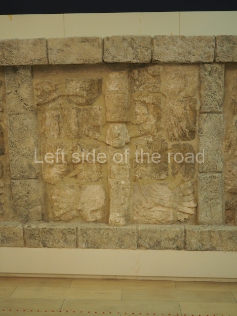
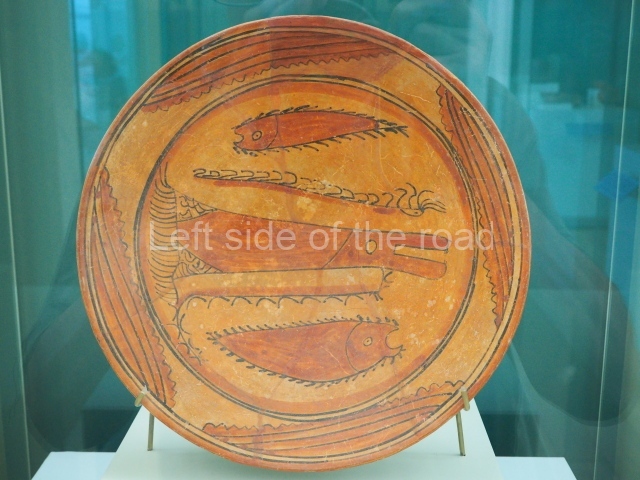
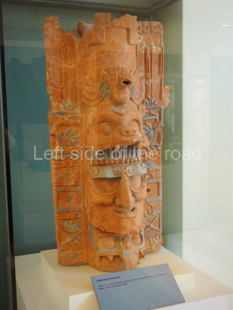
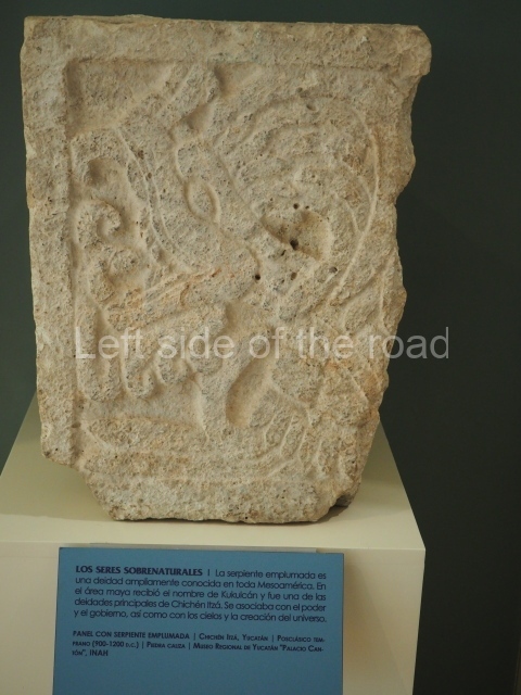
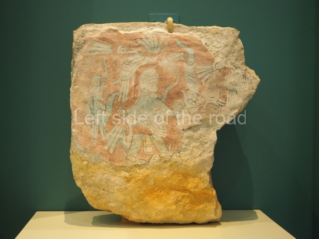
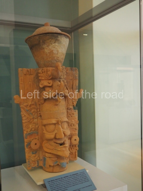
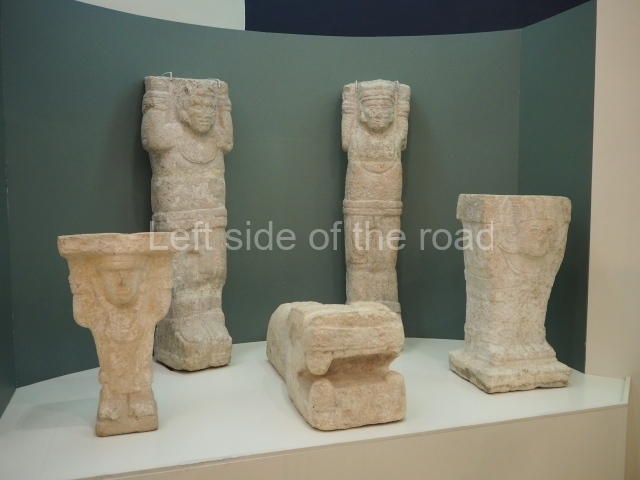
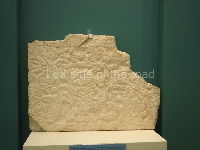
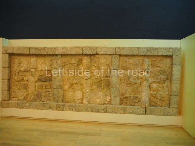
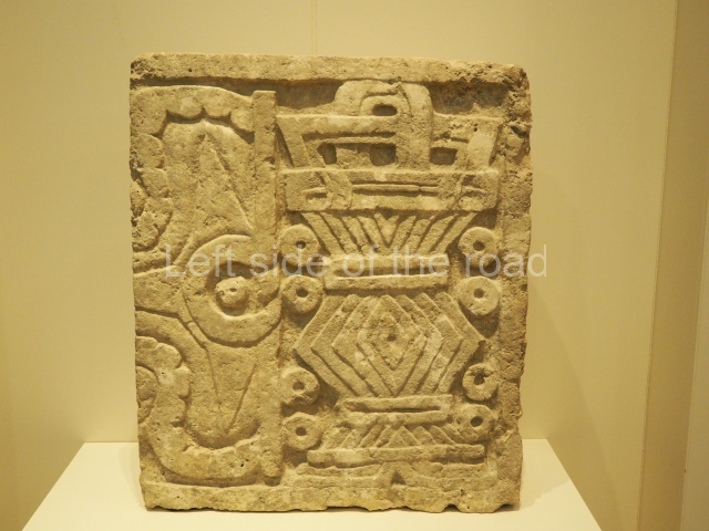
If you find yourself unfortunate to be staying in Cancun you could do much worse than spend an hour or two in the Museo Maya de Cancún (Cancún Maya Museum). At the end of the long spit that contains, to me, some of the worst hotels ever created (especially when you take into account their concentration) an equally ugly modern building houses artefacts of a culture that had an understanding of aesthetics.

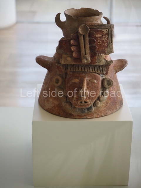
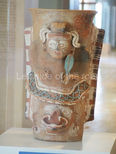
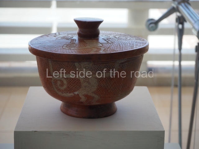
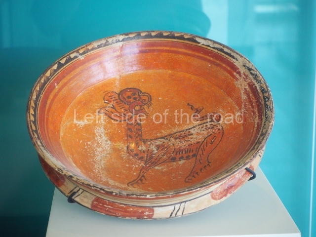
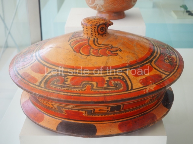
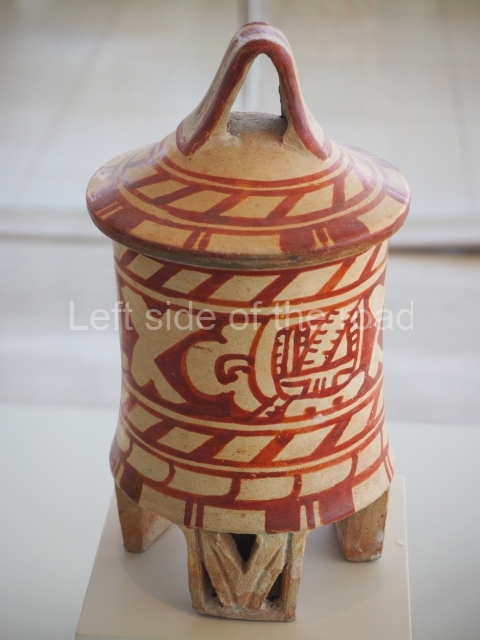
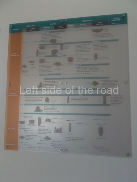
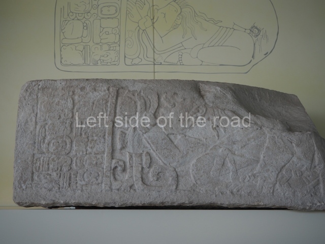
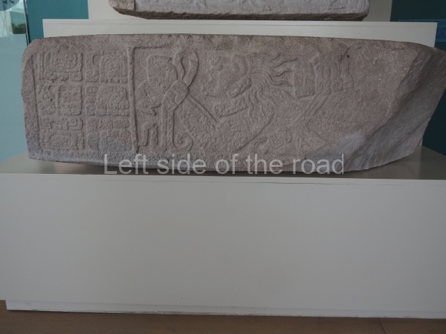
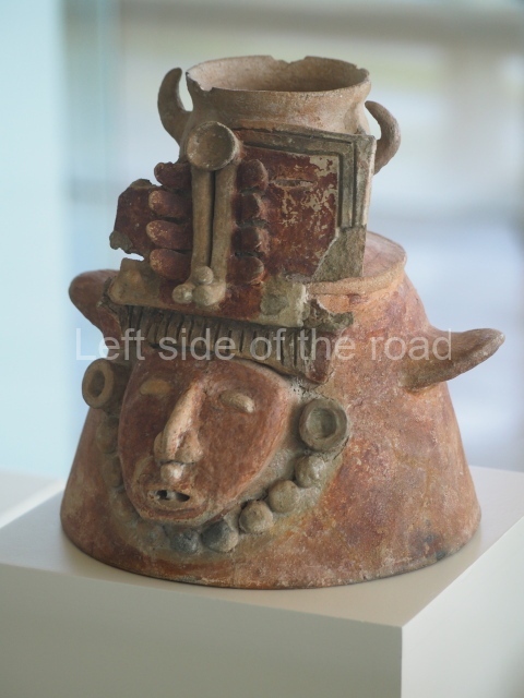
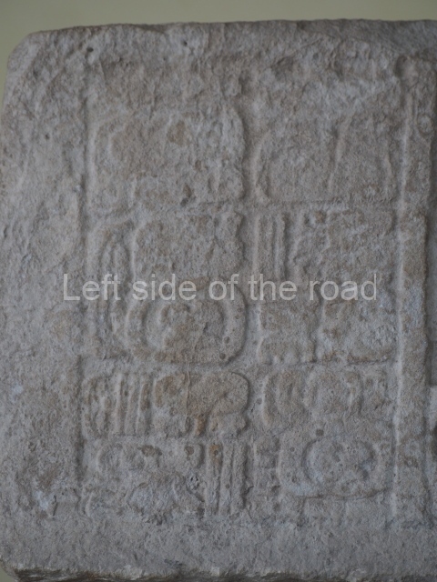
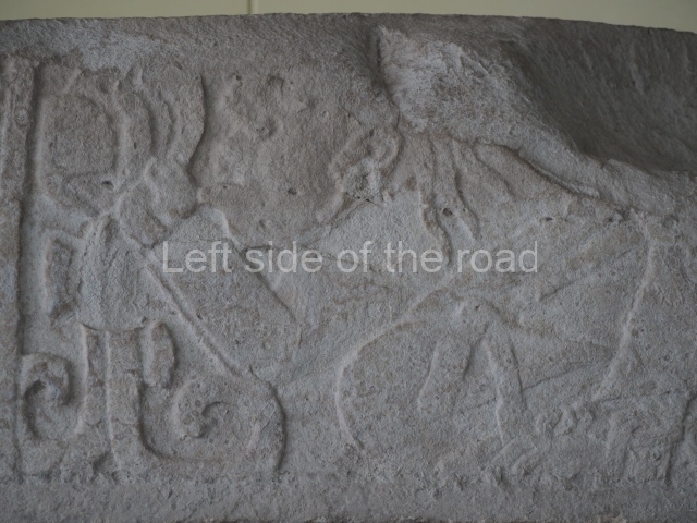
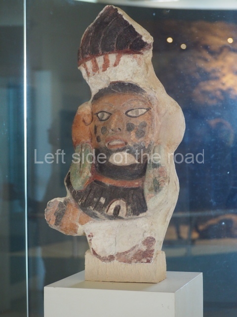
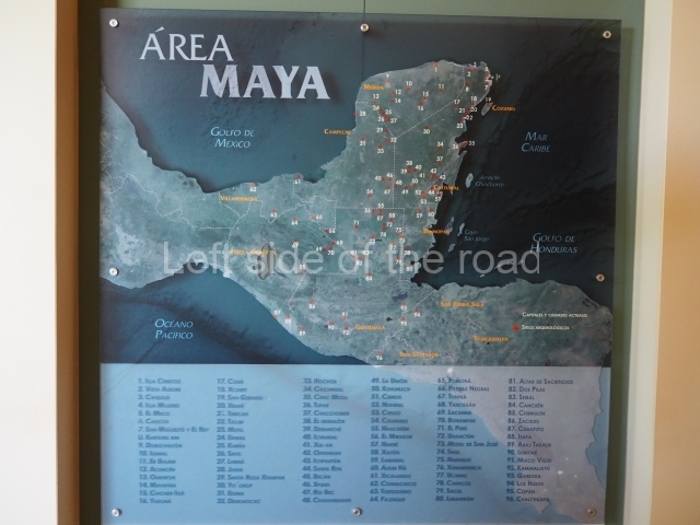
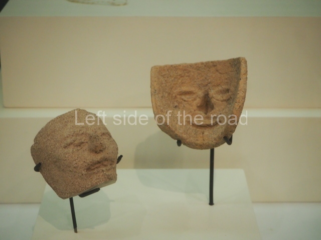
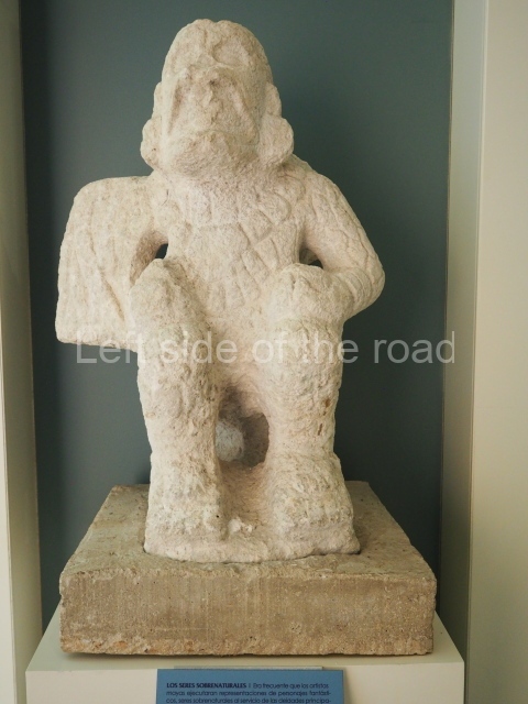
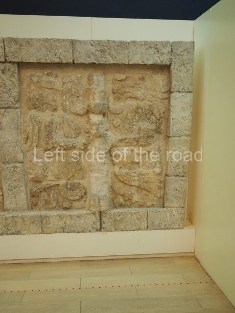
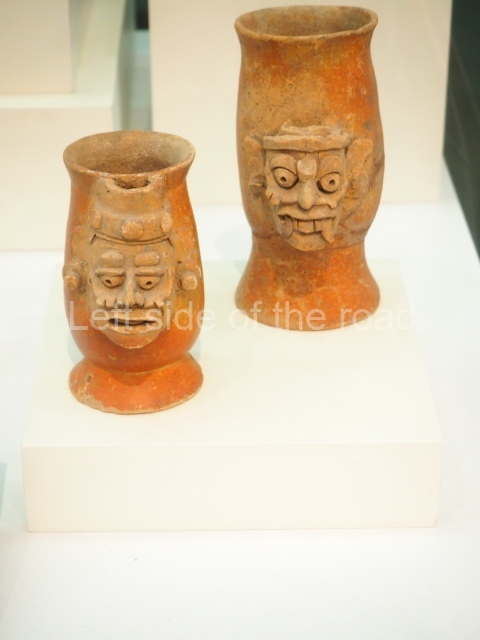
The items in the museum come from all parts of Mayan territory and from all periods from the earliest days until the demise of the Mayan civilisation until just after the arrival of of the Spanish invaders in the 16th century.

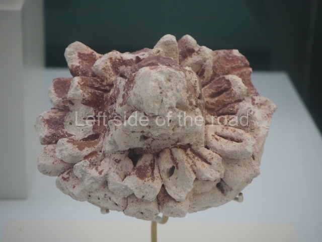
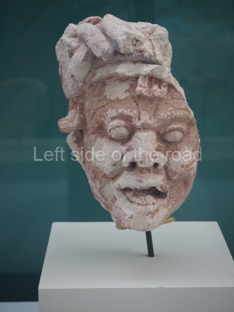
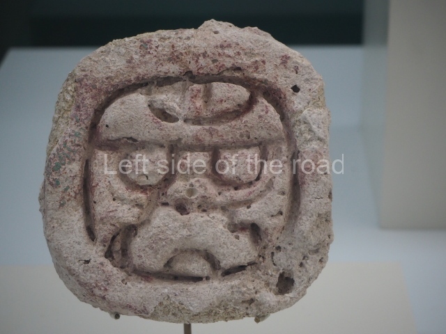
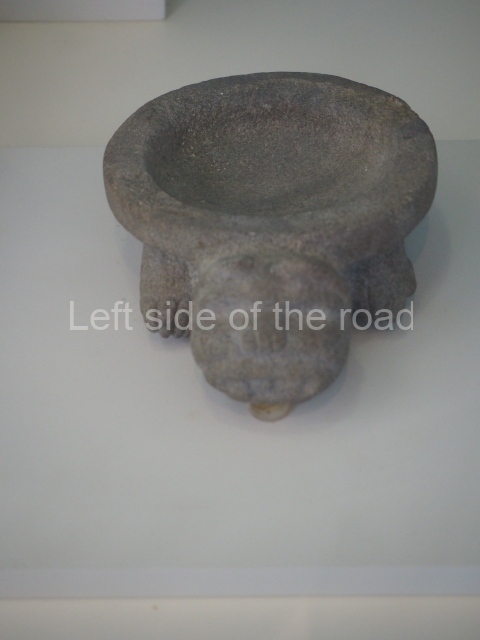
The images are presented here without comment and are in a relatively raw state. They are presented to give an impression of what this magnificent ‘pre-Colombian’ society produced when much of Europe fell into barbarism after the flowering of the Greek and Roman empires – not forgetting that the gains of those ‘civilisations’ were built upon slavery, war and imperial expansion.

How to get there:

Buses R1 and R2, to and from downtown Cancun, run regularly along the road through the hotel district. M$12 per journey.

Location:

Address:

Blvd Kukulcán Km 16.5

GPS:

21.04.29 N

86.46.38 W

Opening hours:

9am-6pm Tuesday – Sunday

Entrance:

Adult: M$90
Child under 13: Free

Sundays: Free for nationals and residents of Mexico.

More on the Maya