Comalcalco Site Museum

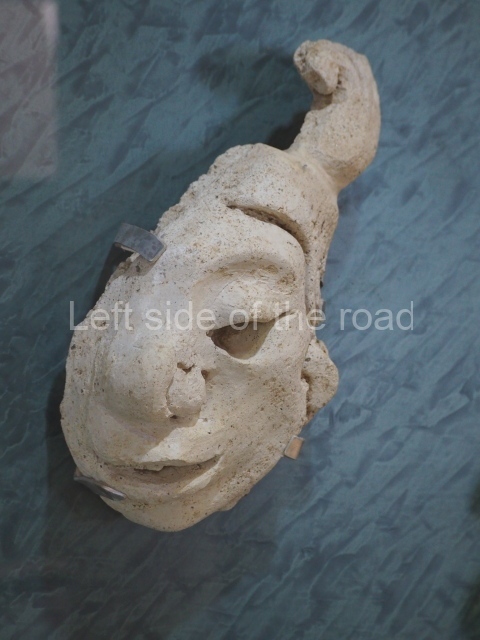
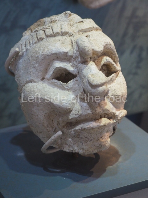
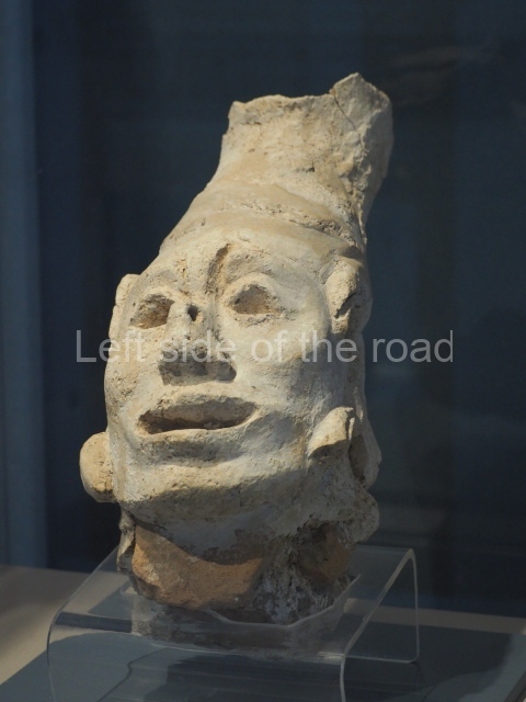
Comalcalco site museum

Comalcalco site museum

More on the Maya

Comalcalco Site Museum

The museum attached to the Coamlcalco archaeological site is one of the most extensive and so am devoting a separate post to it.

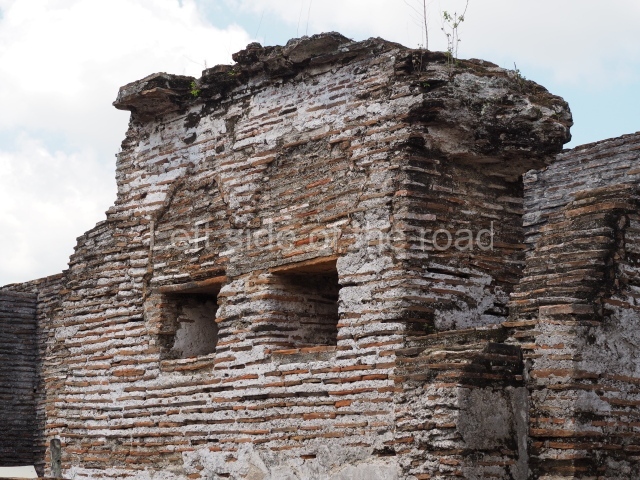
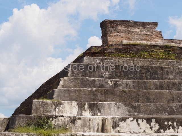
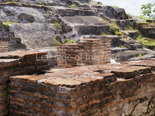
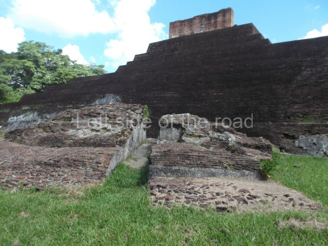
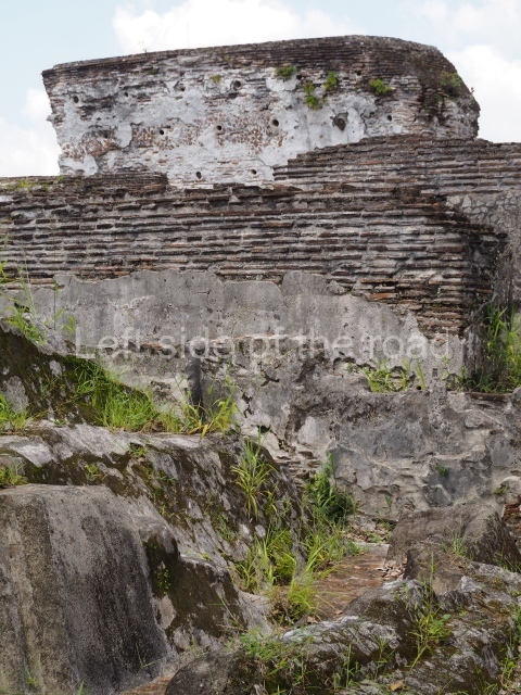
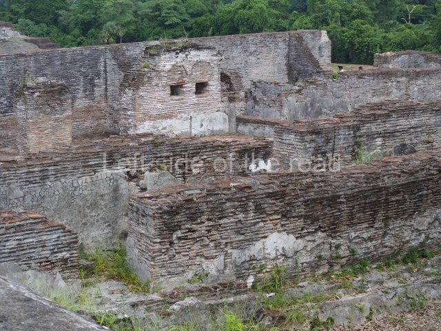
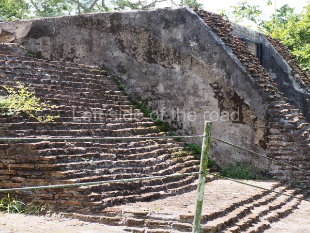
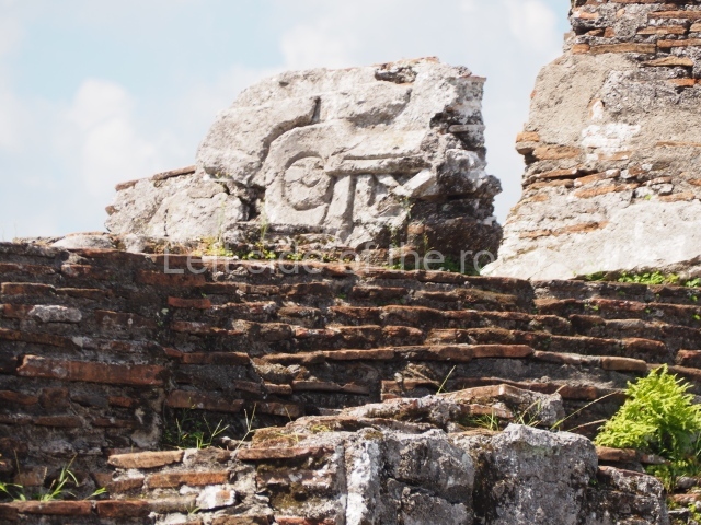
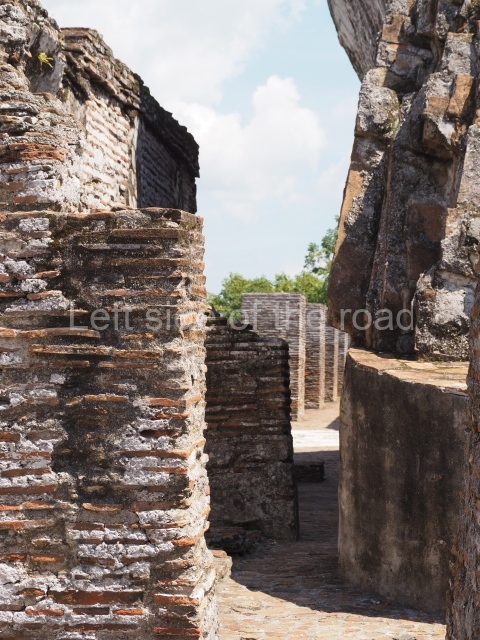
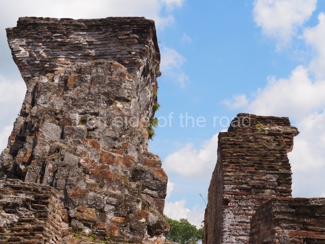
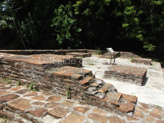
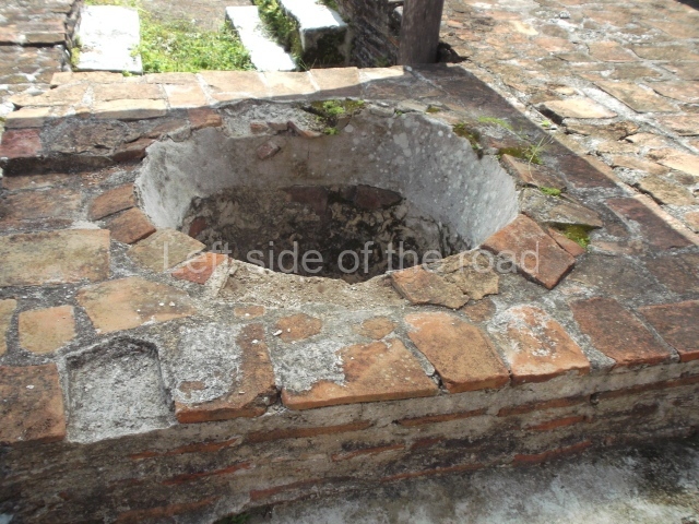
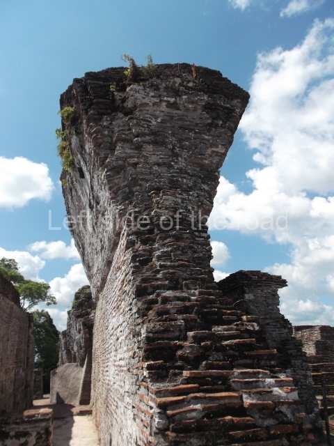
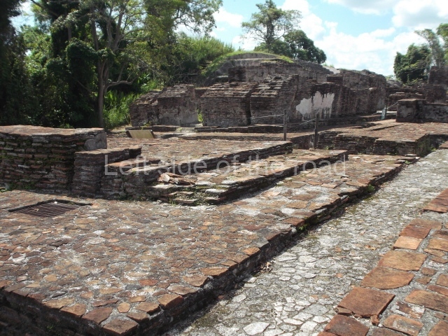
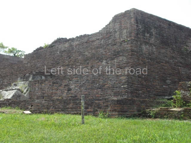
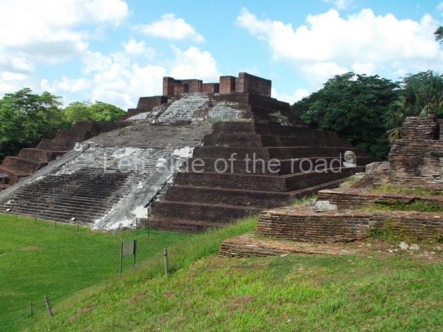
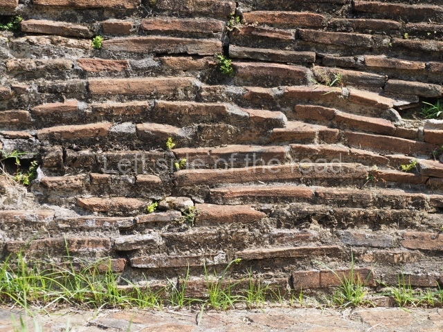
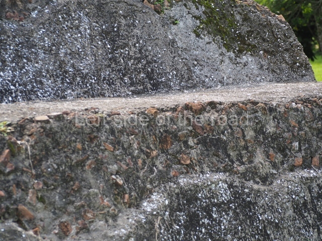
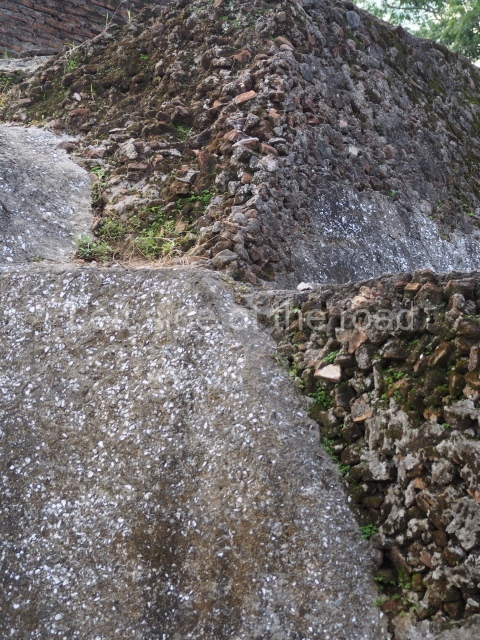
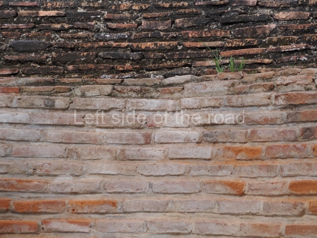
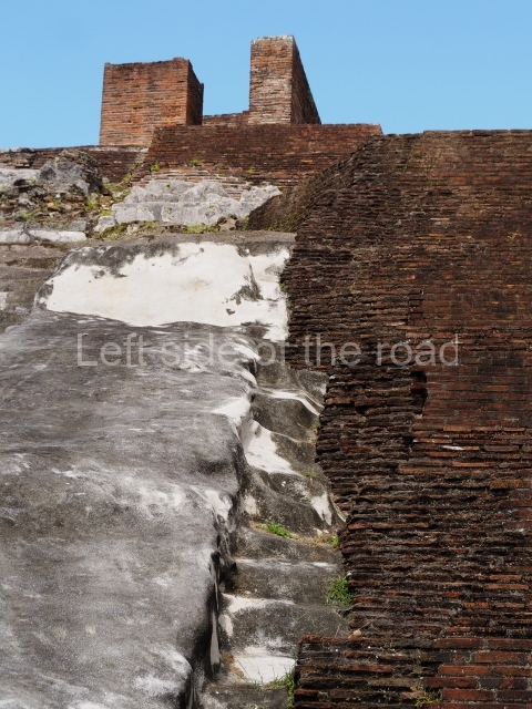
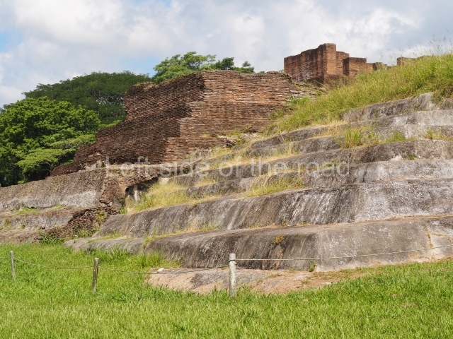
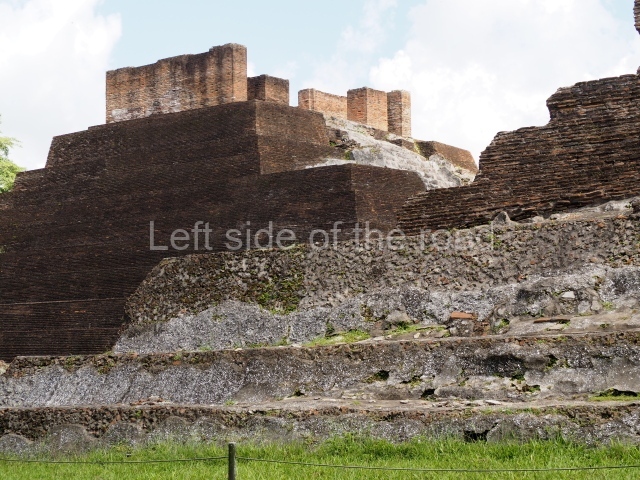
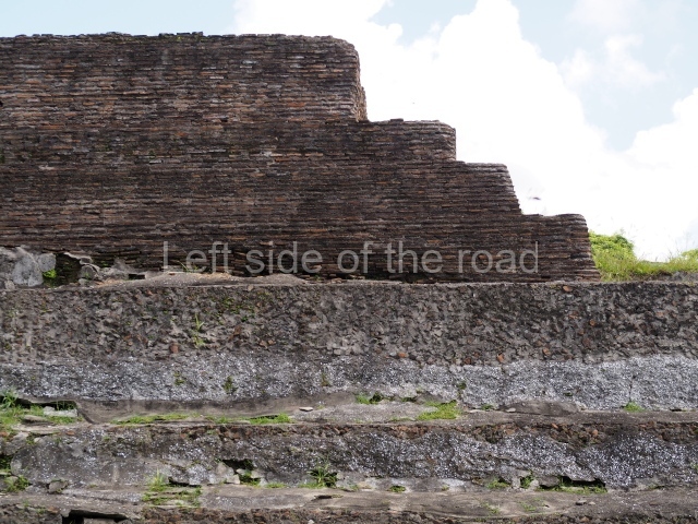
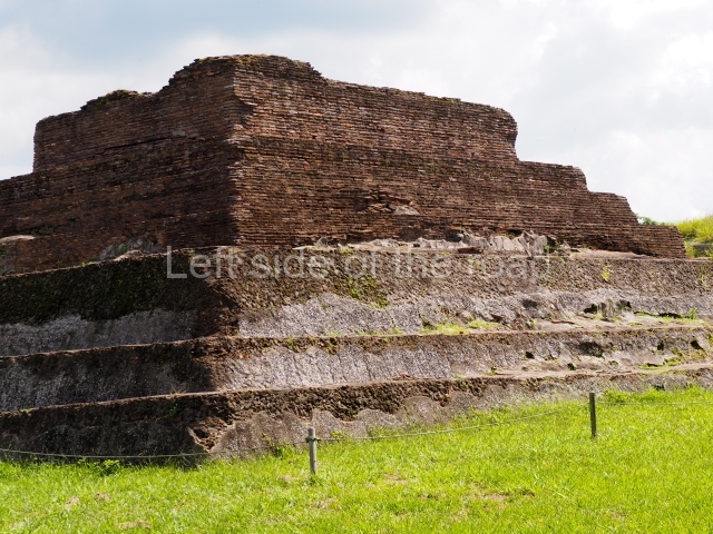
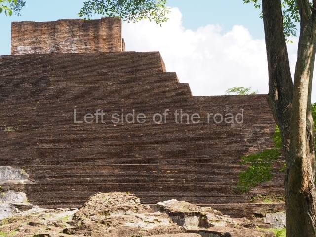
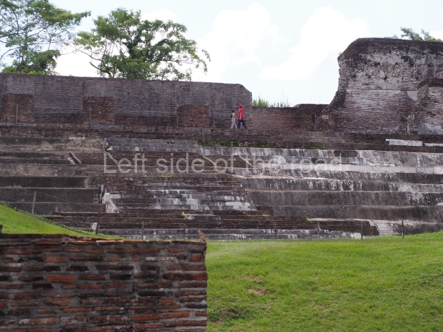
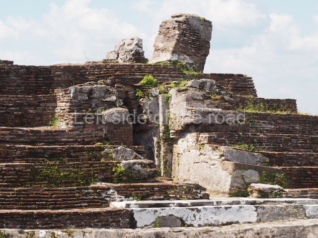
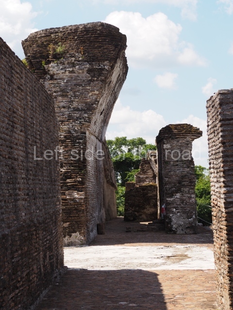
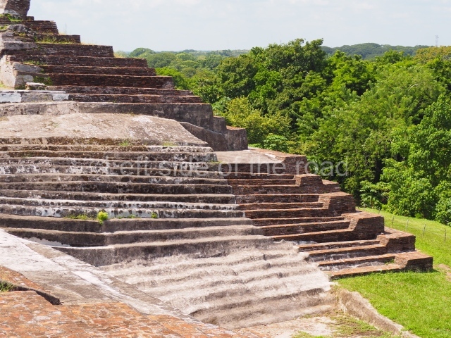
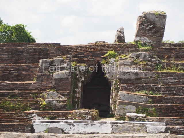
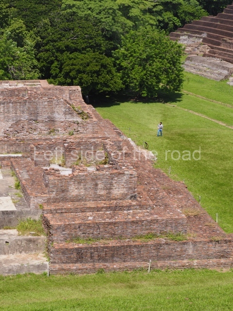
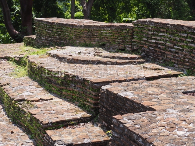
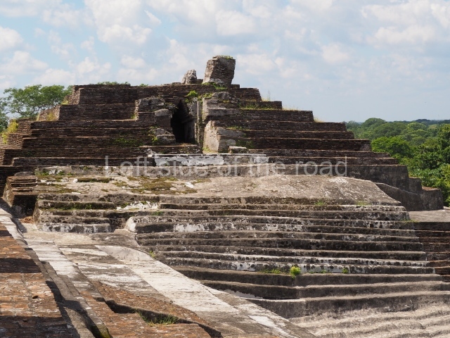
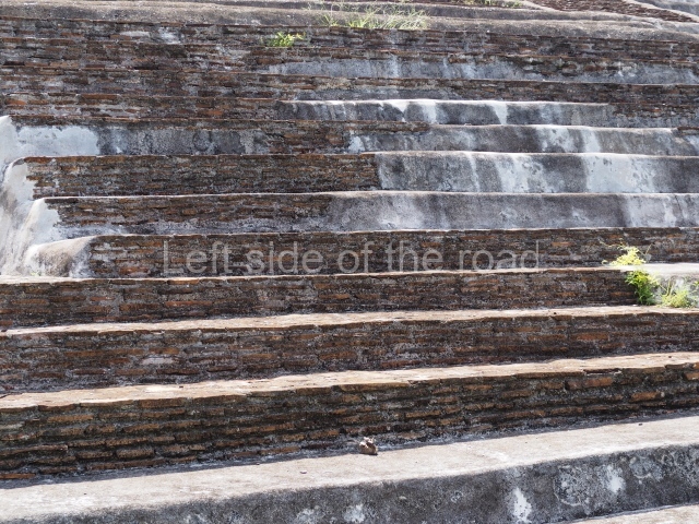
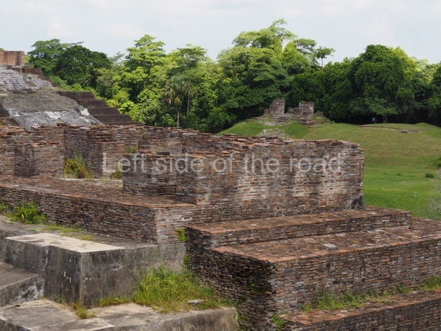
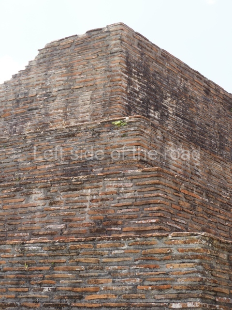
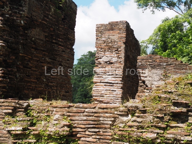
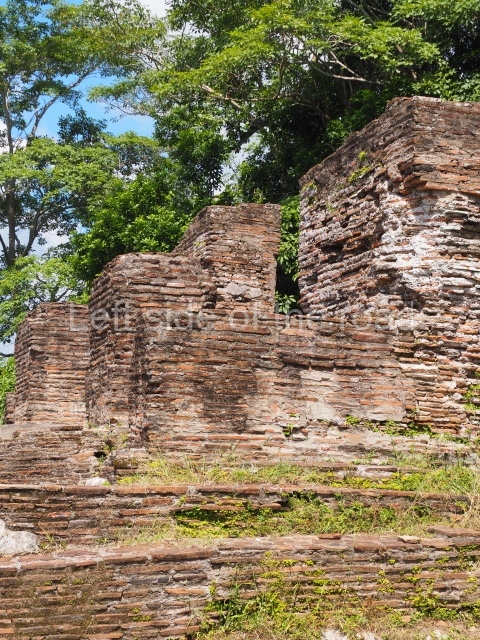
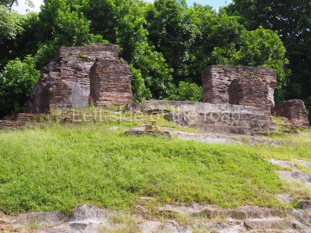
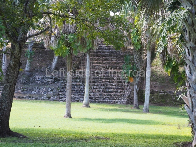
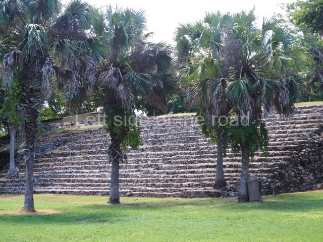
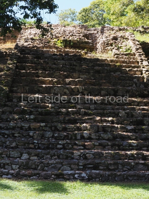
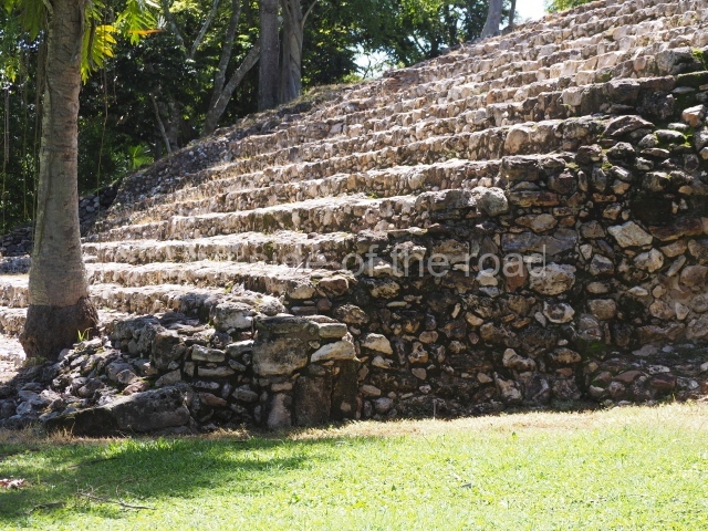
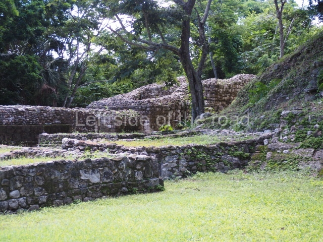
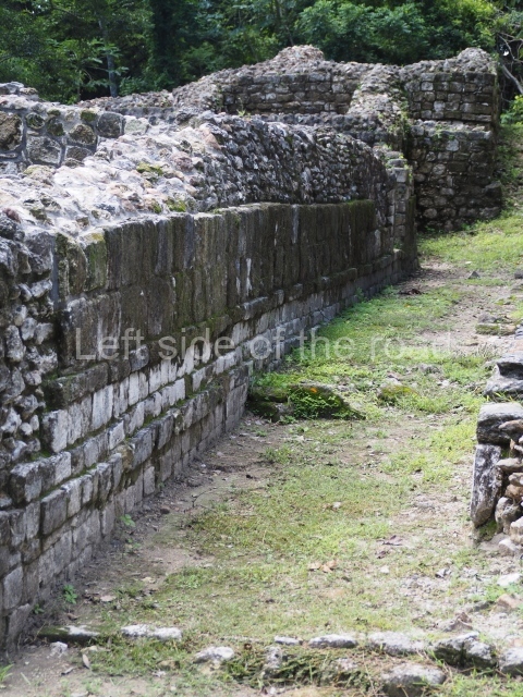
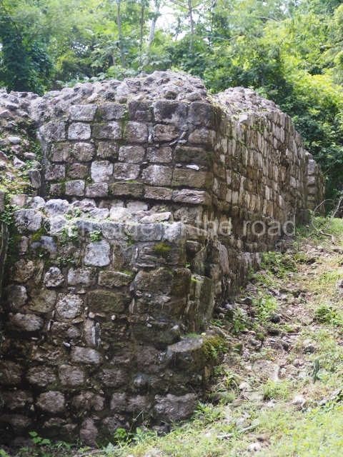
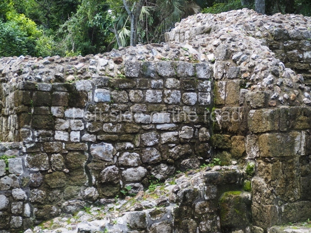
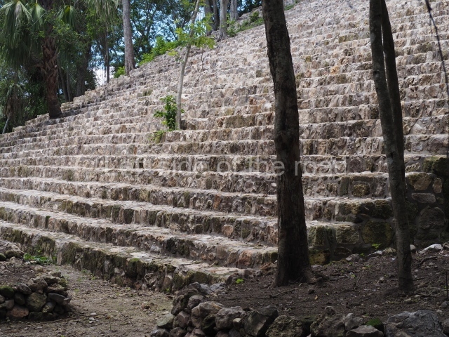
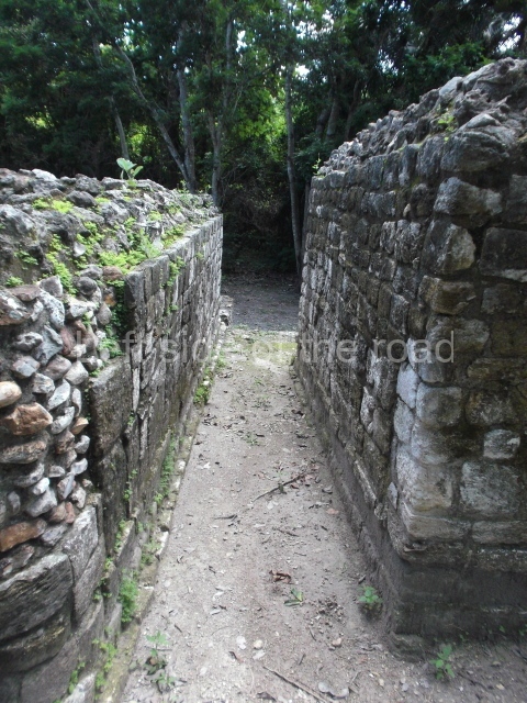
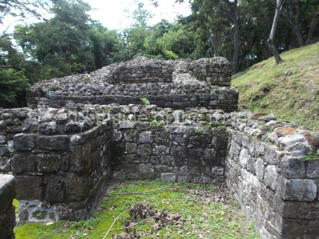
Comalcalco is quite unique in Mayan architecture in that they used manufactured bricks in the construction of the structures rather than local stone, sufficient amounts and quality which were lacking in the Comalcalco area. That in itself is still quite impressive. To manufacture millions of such flat bricks would have entailed as much work as to quarry the stone that was used in other Mayan sites.

I’m not an expert, in any way, about bricks but with a quick investigation the bricks used at Comalcalco seem to resemble what is known in Europe as a Roman flat brick – which continues to be used throughout Europe, in those areas where the Romans had dominated, to this day. The Roman bricks were fired as this made them less brittle and therefore less likely to break when used in construction.

That indicates that the Mayan bricks must also have been fired but it’s strange that they arrived at that conclusion when I’m not aware of any other sites where bricks were used. So we have one of those coincidences where inventions occurred in locations separated by thousands of kilometres independently from each other.

For some reason in what I’ve read the Mayan specialists don’t seem to be interested in this coincidence and there doesn’t seem to have been any investigation into the evolution of the brick created by the Maya, not to searching for any kilns that were used to produce so many in the first place.

Did the Maya just invent the brick for Comalcalco? Did they decide that natural stone was a better building material and therefore didn’t use bricks in major constructions again? Was there more labour involved in brick production that made it less cost effective? I haven’t a clue of the answers, can only come up with questions.

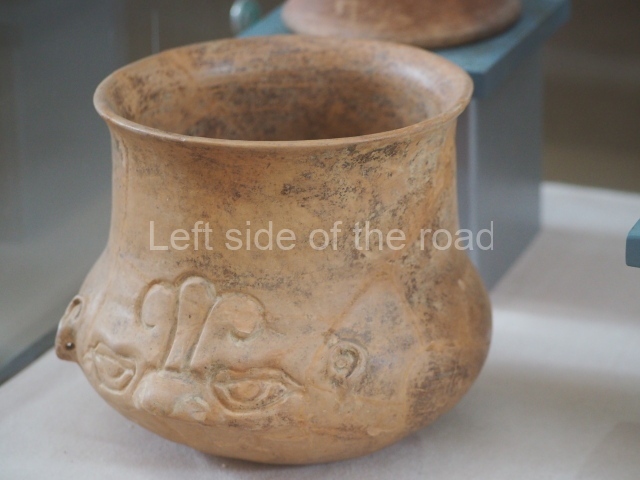
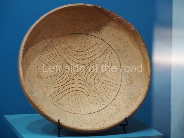
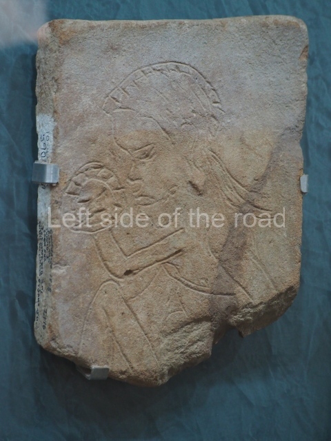
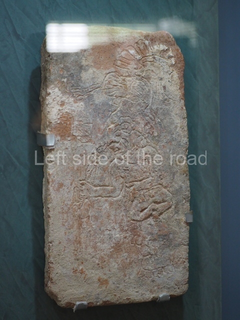
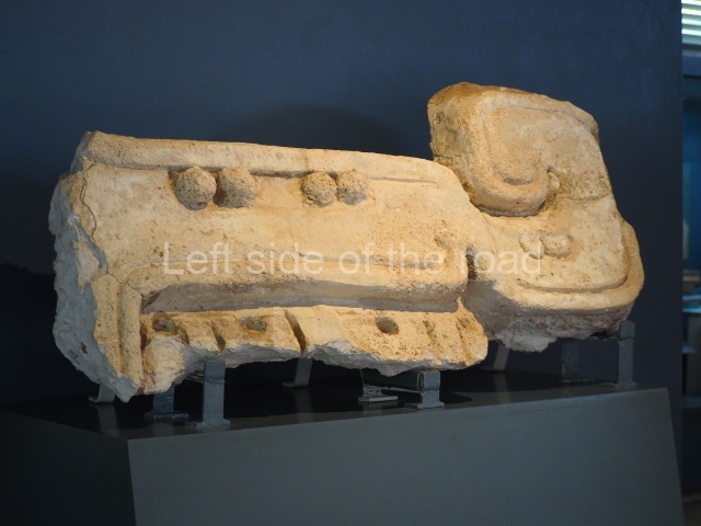
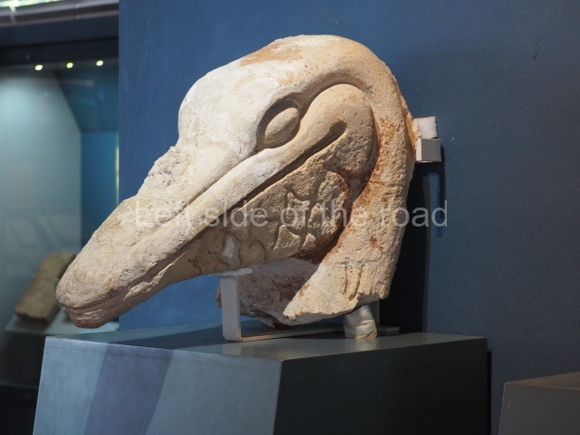
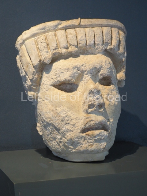
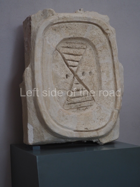
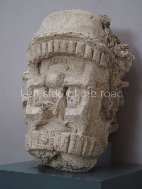
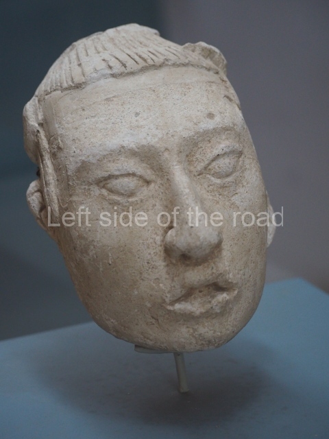
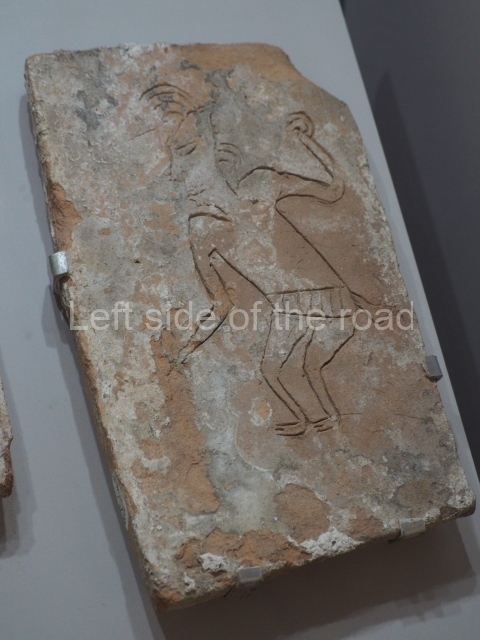
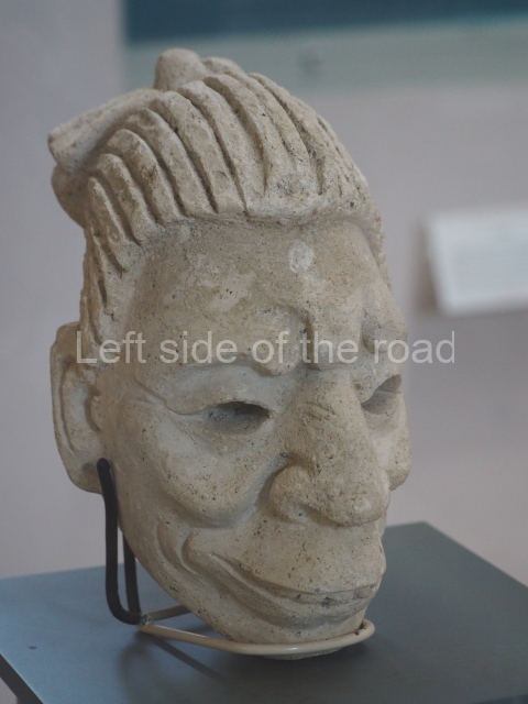
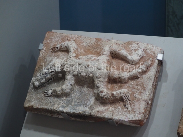
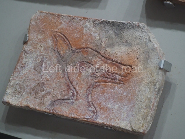
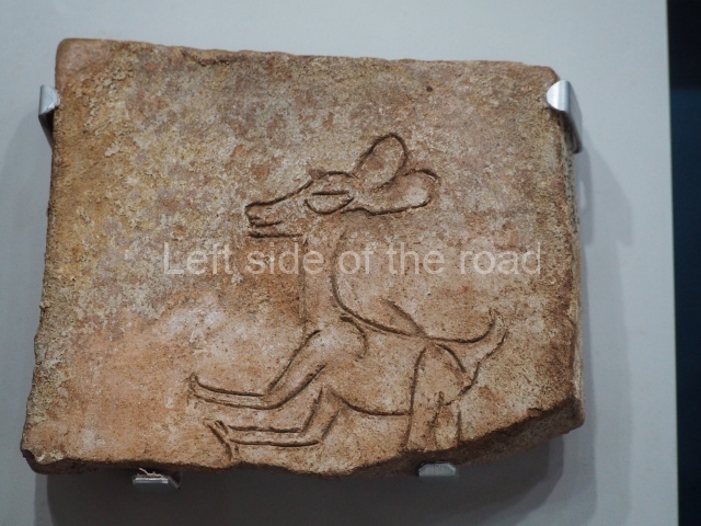
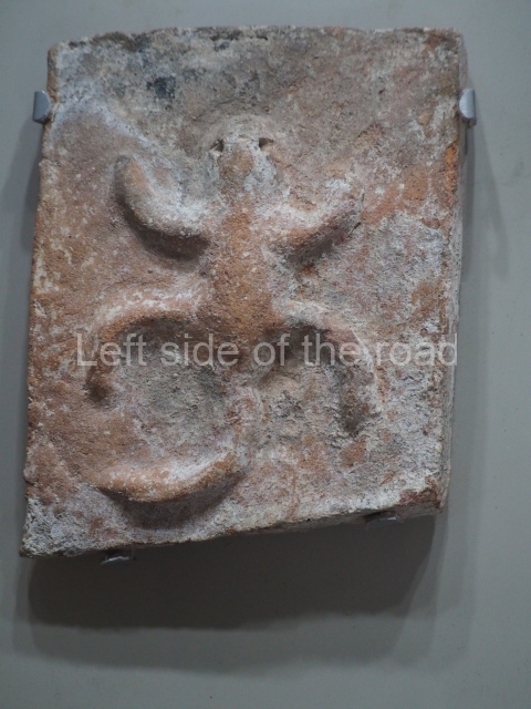
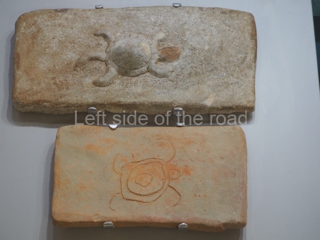
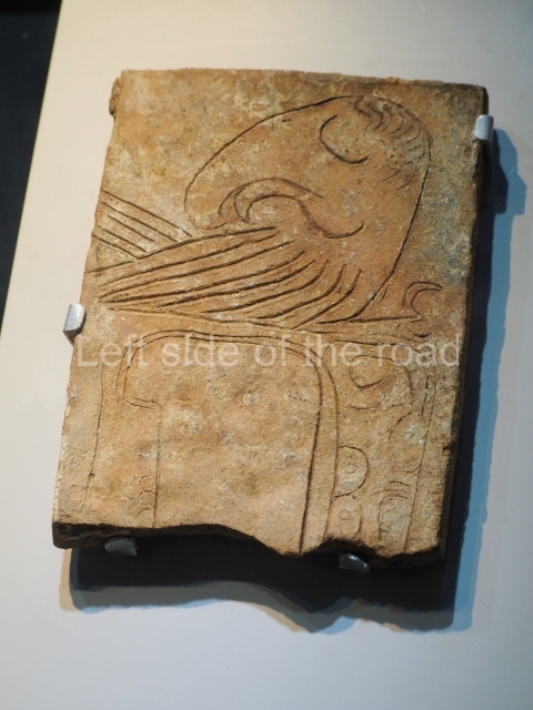
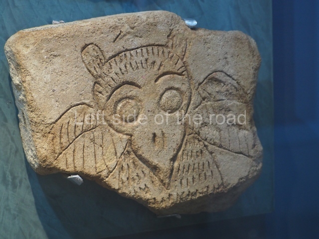
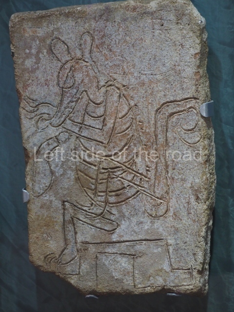
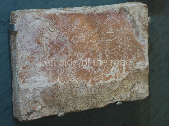
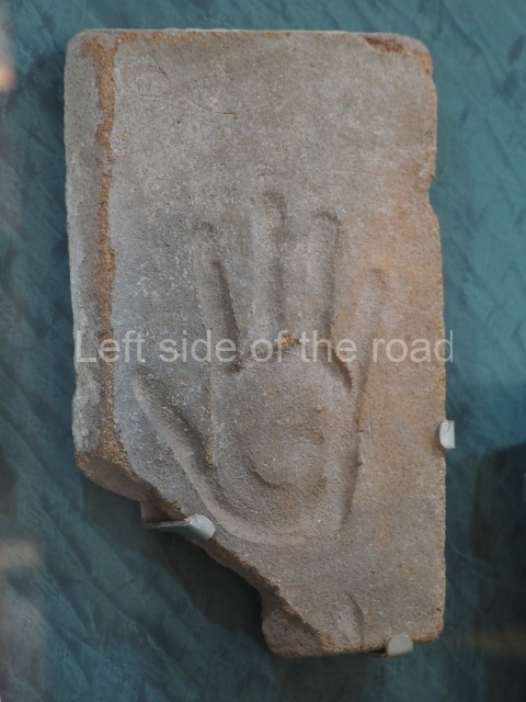
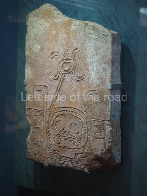
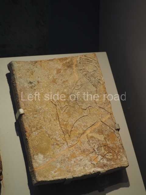
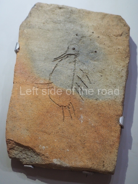
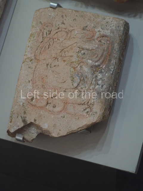
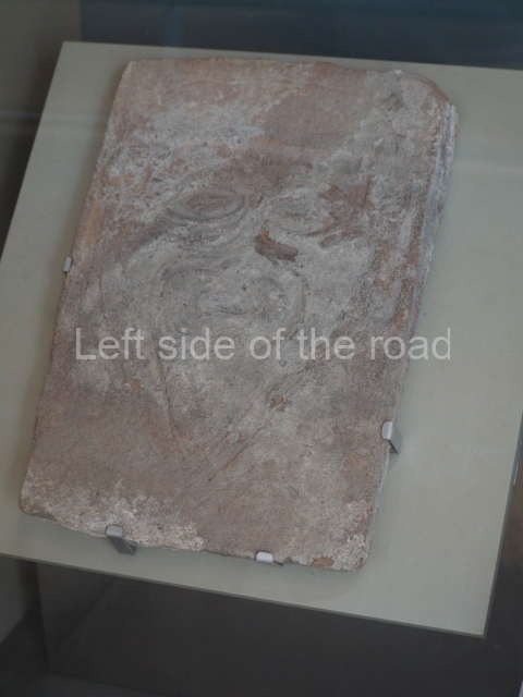
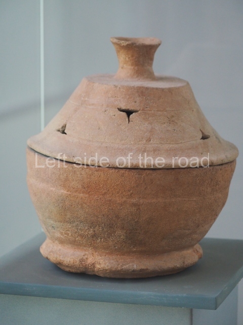
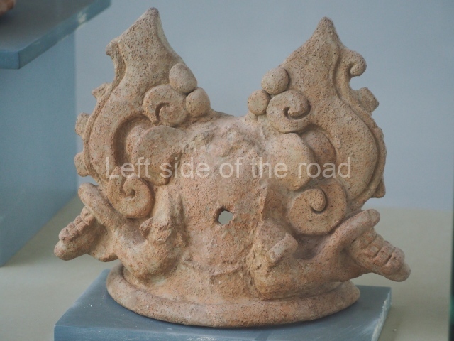
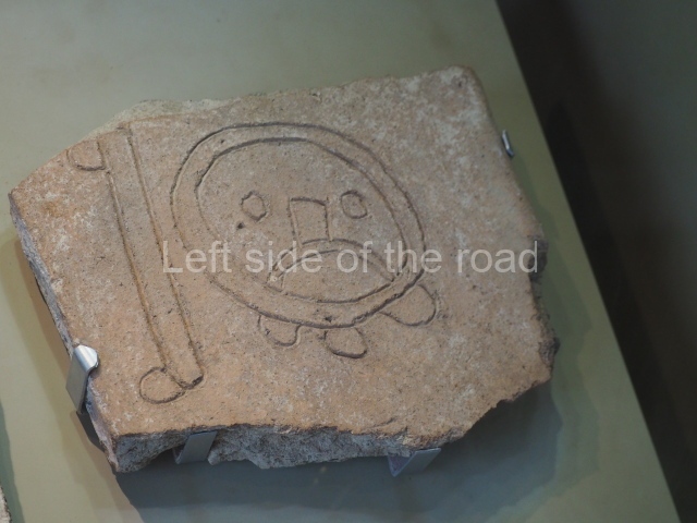
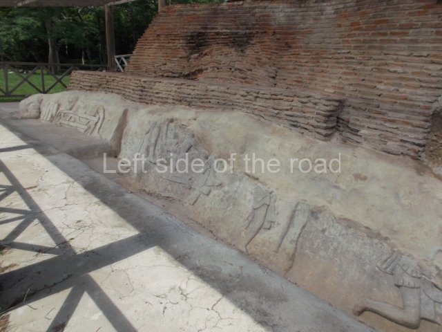
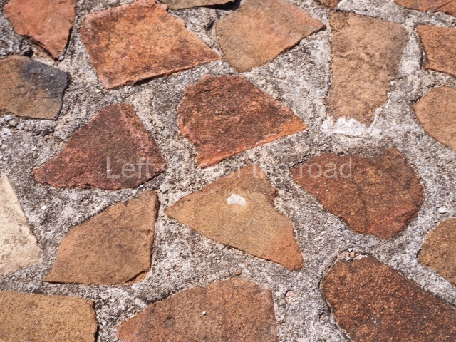
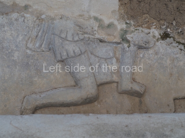
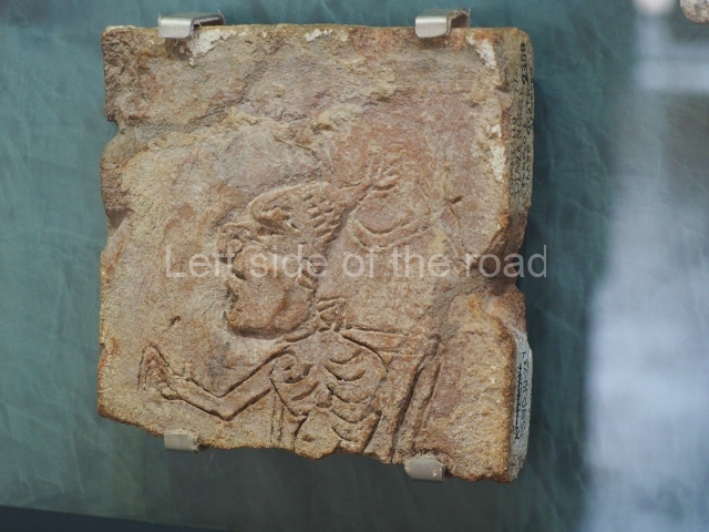
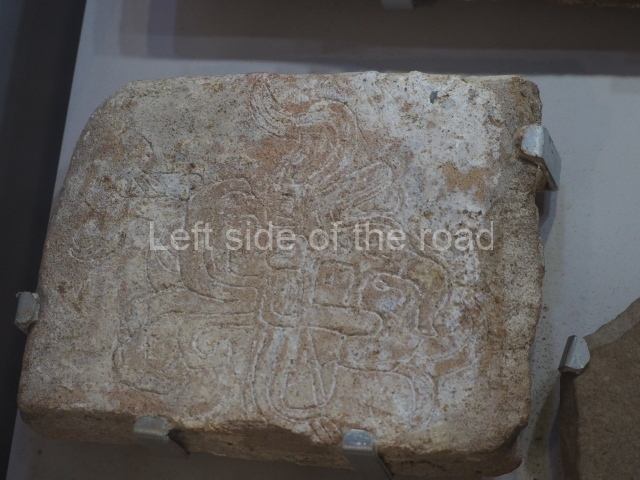
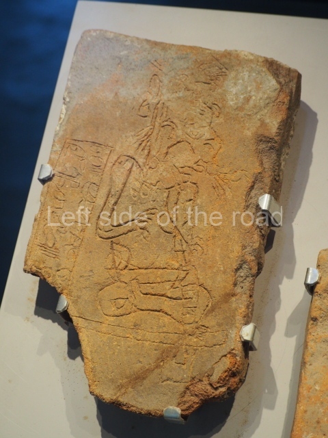
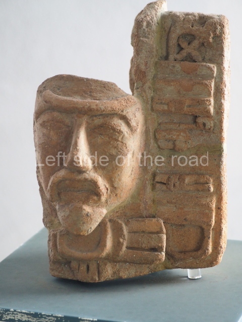
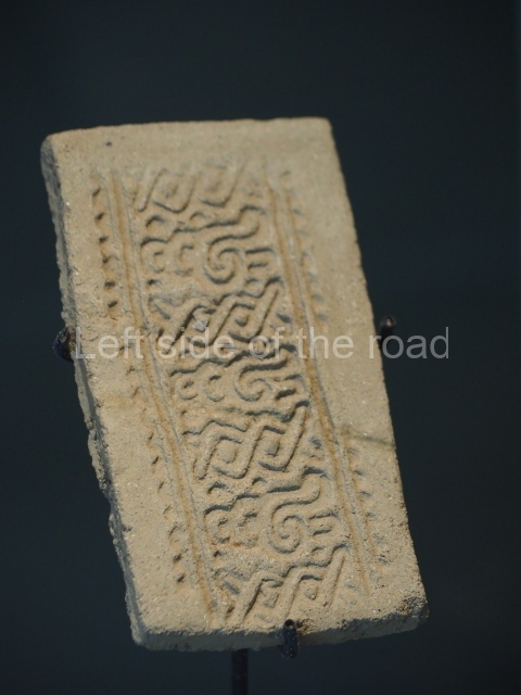
However, what it means is that the vast majority of the exhibits in the site museum at Comalcalco are of examples of decorated and inscribed bricks (more like tiles).

The inscriptions seemed to have multi-purposes; as a signature for accounting procedures; just for fun; as an artistic canvass; to draw plans of the construction and to have a record of what was decided; some even just look like random doodles when someone scratched marks on a brick whilst it was still soft and before going to be fired.

Hopefully, the slide show will provides a representation of what is on show in the museum.

If any further information is encountered about ‘The Brick and The Maya’ it will be added to this post at some time in the future.

How to get there;

The museum is on the pre-paying side of the ticket office to the main Comalcalco archaeological site – so it’s possible to visit the museum without visiting the site. It’s to the left as you enter the parking area.

Entrance;

Free, and open at the same time as the site itself.

More on the Maya

Comalcalco – Tabasco – Mexico

Comalcalco

Comalcalco

More on the Maya

Comalcalco – Tabasco

Location

This site is situated north of the city of Comalcalco, in the state of Tabasco, on the country road leading to the village of Independencia.

History of the explorations

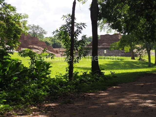
The site was first reported by the French explorer Desire Charnay in 1880. Many of his impressions were based on the descriptions provided by Carl Berendt, who visited Comalcalco and other sites in the region in 1869. Frans Blom and Oliver la Farge described the site again in 1925 following explorations funded by Tulane University. They drew up a provisional map and their impressions of Comalcalco can be found in the hook Tribus y Templos, obligatory reading for anyone Interested in the archaeology of the Maya lowlands and the Usumacinta Basin. The first archaeological Intervention was carried out by Gordon Ekholm in 1956-57 and was funded by the American Museum of Natural History. The researchers were particularly surprised by the use of brick as a building material and their discovery of bricks with inscriptions and graffiti. In 1960, the INAH embarked on a series of archaeological explorations that have continued to this day. That year, Roman Pina Chan led the excavations In the Great Acropolis and consolidated several of the more poorly preserved buildings. From 1972 to 1982, the archaeologist Ponciano Salazar directed the excavations and building consolidation, providing us with the knowledge we have today of the city’s architecture and timeline. In the last five years, Ricardo Armijo and the INAH have conducted more detailed excavations in the areas already explored, placing great importance on the use of the rich epigraphic corpus to understand the history of the site and its archaeological significance.

Pre-Hispanic history

Comalcalco has benefited from the rapid development of Maya epigraphy in recent years, as evidenced by the fact that we now know much more about the genealogy of rulers. Although this does not correspond entirely to the long period of occupation, it does shed light on court life at the site during the 6th, 7th and 8th centuries. We also know that that the pre-Hispanic name for Comalcalco was Joy Chan, and that in AD 649 the city was defeated in battle by Bahlam Ahaw, the ruler of Tortuguero, an important site mid-way between Comalcalco and Palenque. Our knowledge also extends to certain aspects of the lives of eight successive rulers, commencing with Chan Tok’ I in the 6th century and terminating with the reign of El-Kinich (Burnt Sun) at the end of the 8th century.

Site description

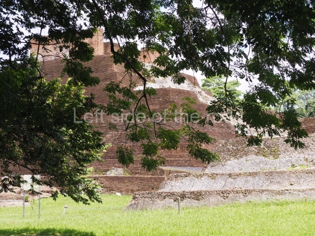
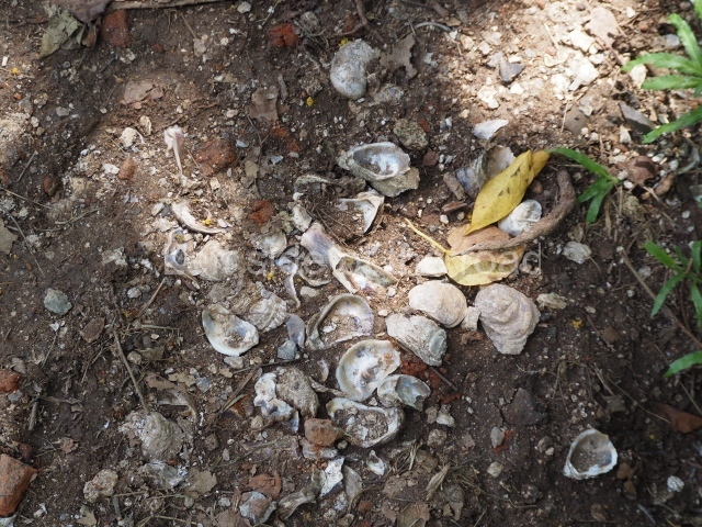
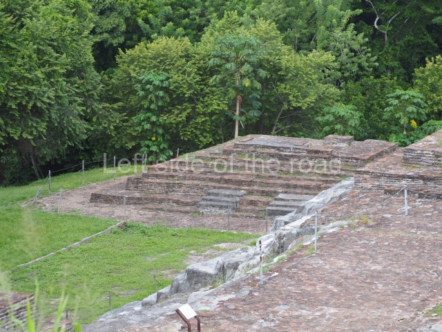
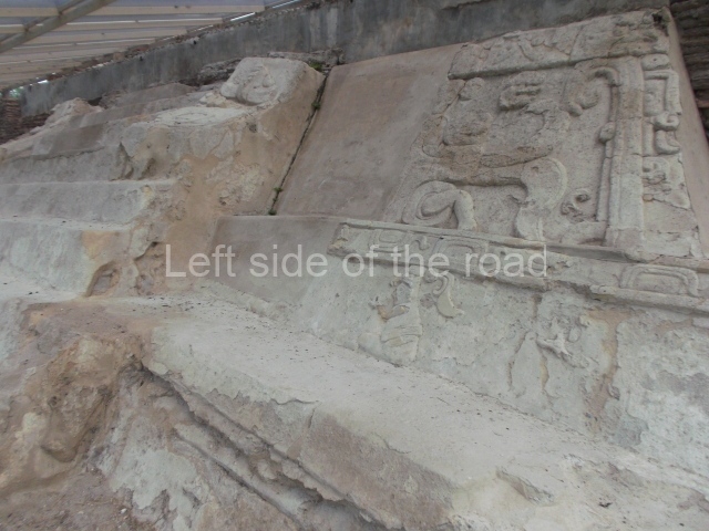
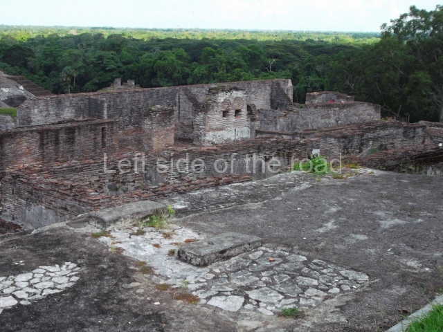
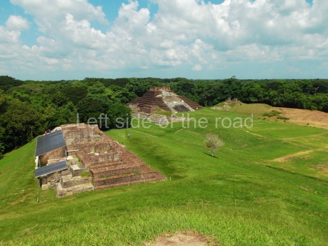
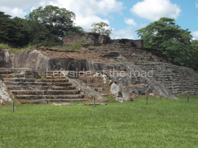
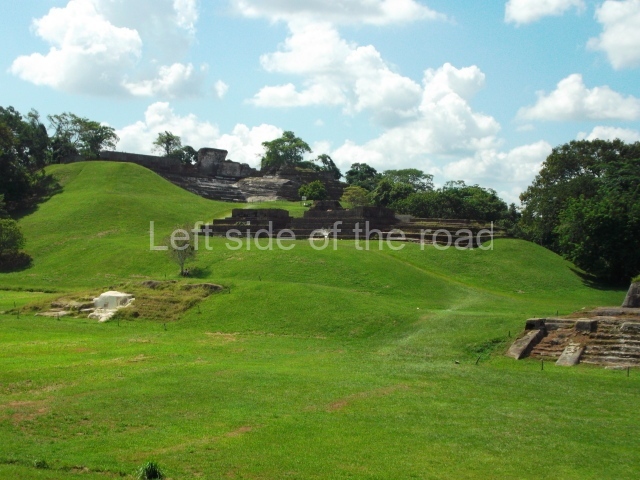
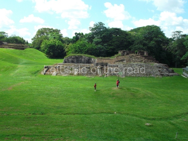
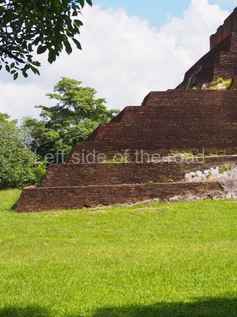
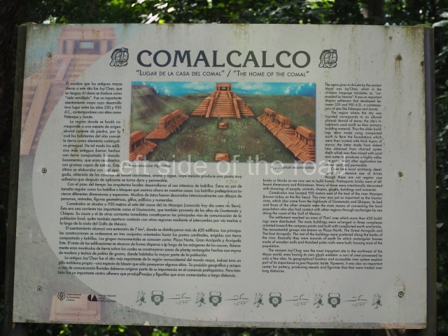
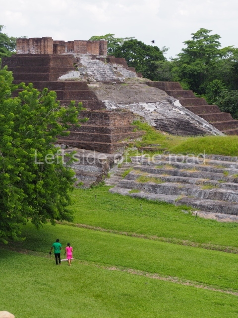
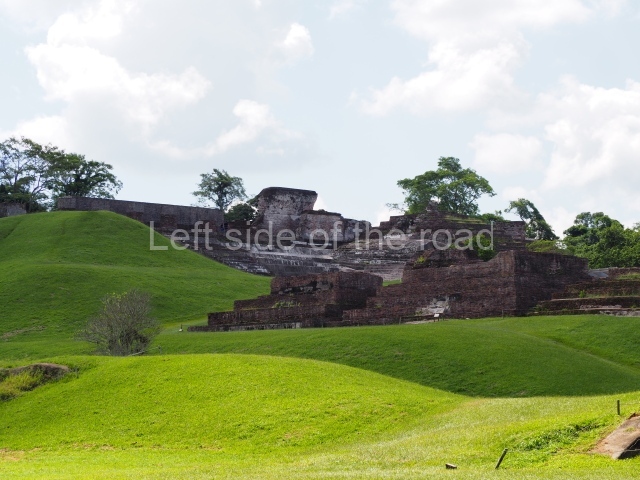
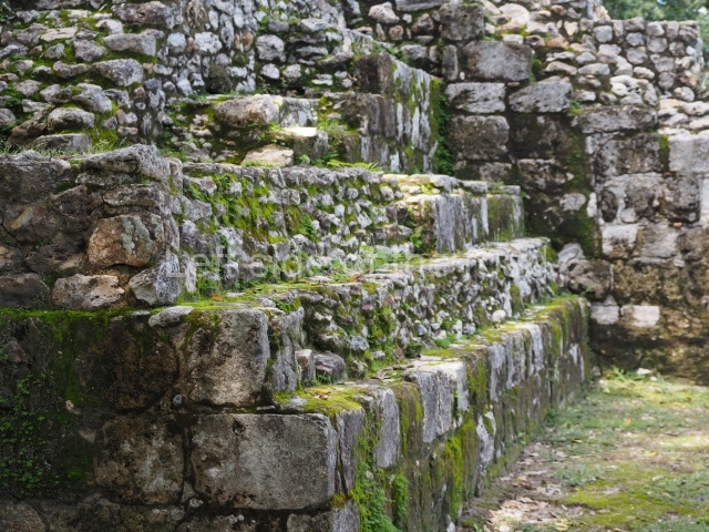
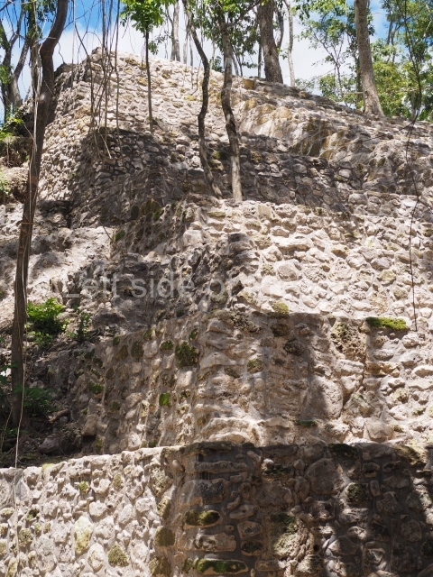
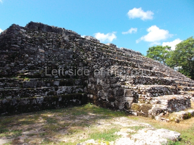
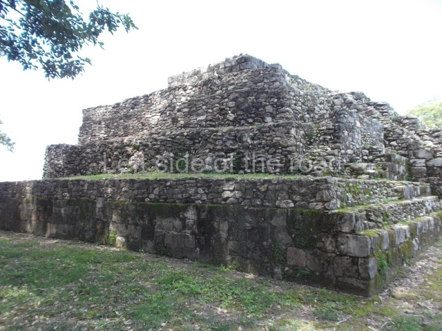
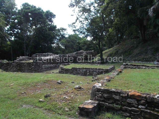
The city is situated on slightly elevated ground with panoramic views of the alluvial plain, very close to the River Mazapa-Dos Bocas, also known as the River Seco (‘dry’). The size of the city is subject to debate. It would appear to have been more dispersed and less populated than Palenque. Altogether, 432 buildings have been recorded, distributed between three Architectural groups: the North Plaza, the Great Acropolis and the East Acropolis. The city’s original name, furnished by the phonetic interpretation of its emblem glyph, is Joy Chan (Surrounded Sky). Although it was developed over a long period, from the middle of the Preclassic to the Terminal Classic, the Introduction of bricks for the buildings in the North Plaza and the Great Acropolis dates from AD 500. Excavations have yielded a brick with the calendric date of 10 August 561, which is probably when construction of the Great Acropolis commenced. Between the 1st century BC and the 6th century AD, the buildings were made of rammed earth and then covered with stucco, while the temples, situated on weak pyramids, were wattle-and-daub constructions complemented with tree trunks and roofs of palm or guano. In the 7th century AD, the lack of stone obliged the Maya to build their monuments out of fired bricks. Comalcalco is also noted for the elongated buildings with parallel bays on tiered sloping platforms, very like the ones to be found at Palenque. The fact that these buildings are so well preserved today is owing to their excellent mortar, masonry, fine execution, drainage systems based on fitted fired-clay pipes, and a skilful spatial layout. Another characteristic of Comalcalco is the use of a variety of techniques. There are buildings made out of rammed earth and others made out of adobe bricks. Meanwhile, the building facades were covered with a lime stucco and then a thick coat of paint. They used perishable materials such as guano, lianas and wood to build roofs and cover the walls of both public and domestic buildings. The mortar, principally obtained from ground oyster shells rather than the lime obtained from ground limestone, as at Palenque, served as a binder for the clay bricks. The main buildings were covered with decorations modelled in the round, representing a great variety of themes: richly garbed dignitaries, mythological creatures, glyphs and natural motifs.

North plaza.

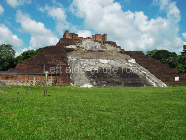
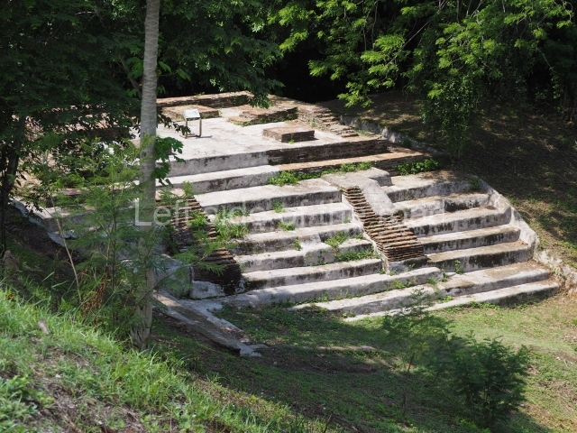
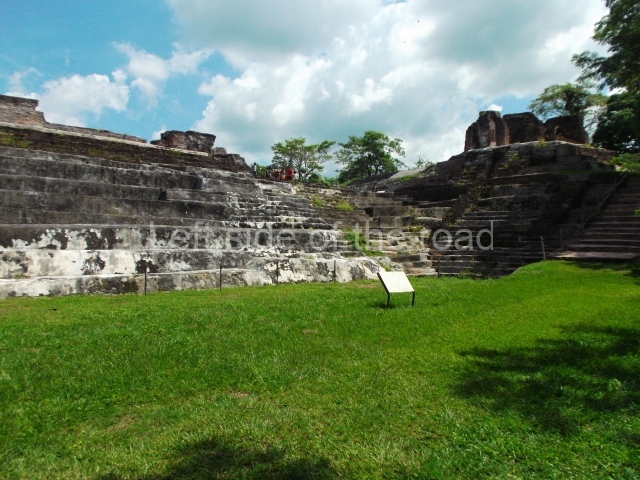
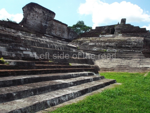
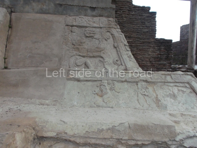
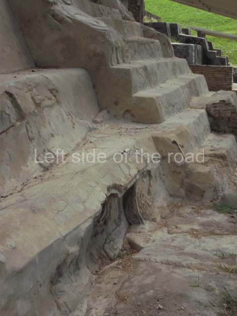
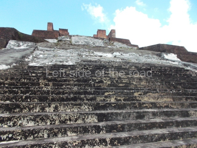
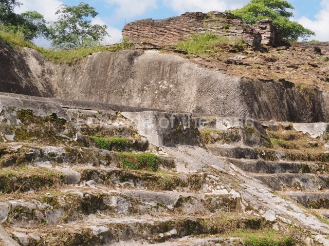
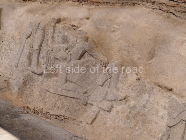
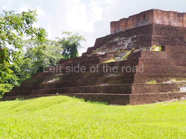
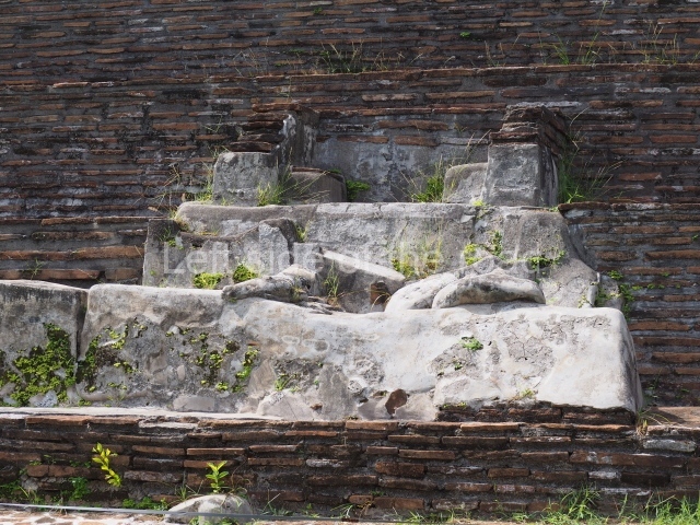
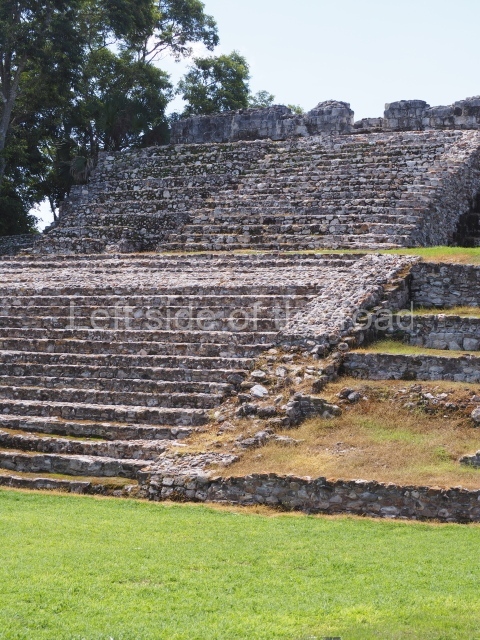
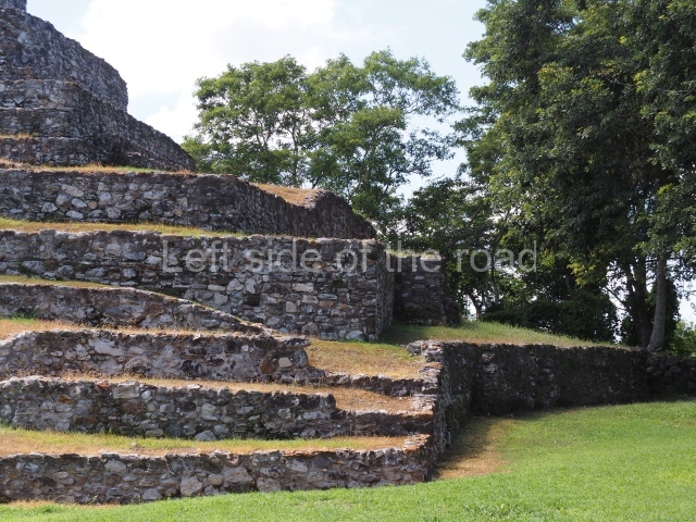
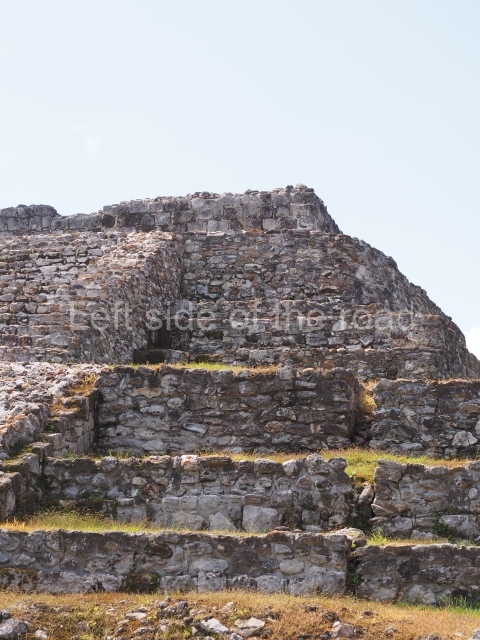
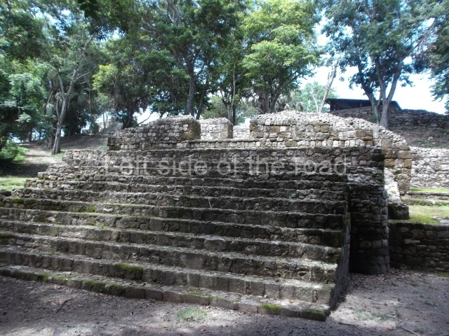
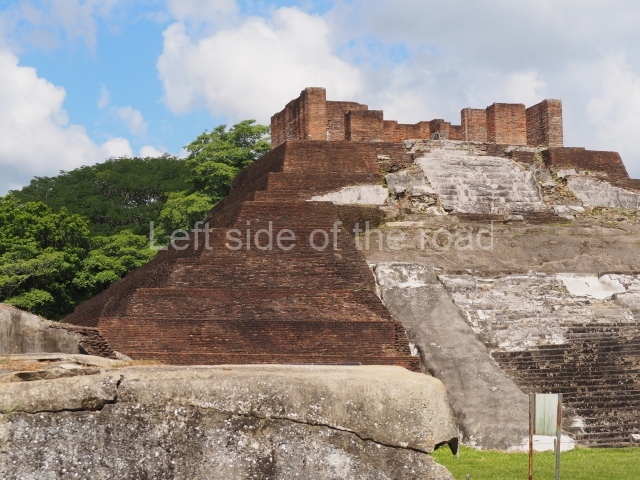
This group displays a simple, axial arrangement. The constructions surround a large rectangular plaza, with the long side running east-west. The north side of the plaza is delimited by a long platform, at the west end of which once stood Temple I. The south side is delimited by another elongated platform with the remains of Temple III at its west end. Both are modest constructions built out of small bricks and comprising two bays, the front one occupied by the portico and the rear one by the shrine, like the Temples in the Cross Group at Palenque. Temple I is the most important monument in the North Plaza and because of its vast dimensions (standing nearly 25 m tall) the only one on the west side. It consists of a ten-tiered pyramid surmounted by a plinth and temple, the latter reached by the stairway on the facade overlooking the plaza. The first section of the stairway (36 steps) corresponds to the first construction or stucco phase and the remainder to the brick phase. The central part of this space yielded three radial altars aligned in a row. Very little evidence remains of the decoration that once covered the main facade, and only a few stucco models on the first slope of the platform have survived in a recognisable condition. It is possible to discern the figure of a toad accompanied by three dignitaries seated on a band, although only the torso and legs have survived. This same slope or talud also displays an individual pinned down on a bench by another figure, no doubt his captor. Temple I is accessed via a wide ramp or balustraded stairway culminating in a series of narrower steps with a basalt sculpture of a skull. Numerous funerary urns have been discovered in this group. This burial practice has been described in connection with other Maya areas (Guatemalan Highlands, the Balancan region, Tabasco) and at Comalcalco it was used for burying high-ranking dignitaries. The urns are enormous vessels made out of modelled clay and deposited inside buildings. They furnished the remains of shrouded individuals in a sitting position accompanied by a rich offering of ceramic objects, earrings, figurines, shark teeth, jaguar and crocodile bones, tortoise shells, shell earrings and obsidian or flint knives. Of the 31 urns discovered, 23 were found in the North Plaza. The most important offering in terms of the quantity and quality of the objects is Funerary Urn 26, deposited between Temples II and Ha, which contained the incomplete remains of an adult male accompanied by 52 shark teeth, 90 shell earrings and 30 stingray tails. Many of these objects were inscribed with long texts that made reference to important events and dates in the life of Aj Pakal Tahn, a high-ranking dignitary who lived at Comalcalco between AD 765 and 777.

Great Acropolis.

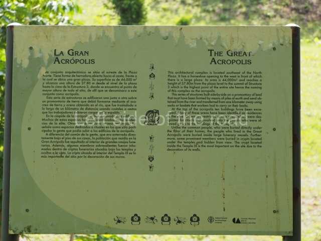
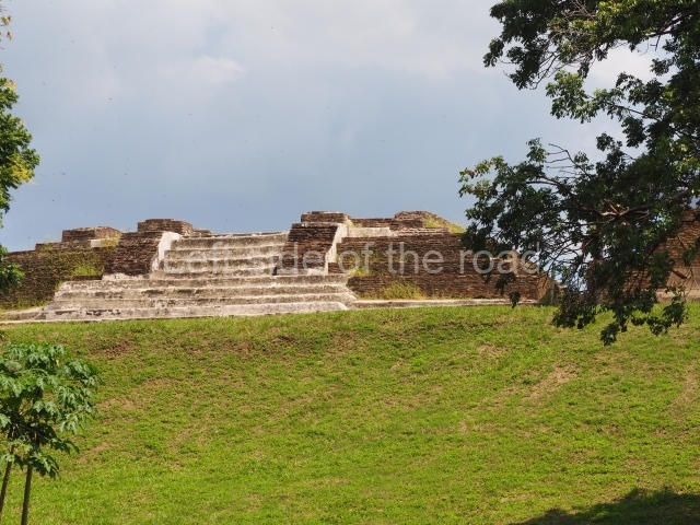
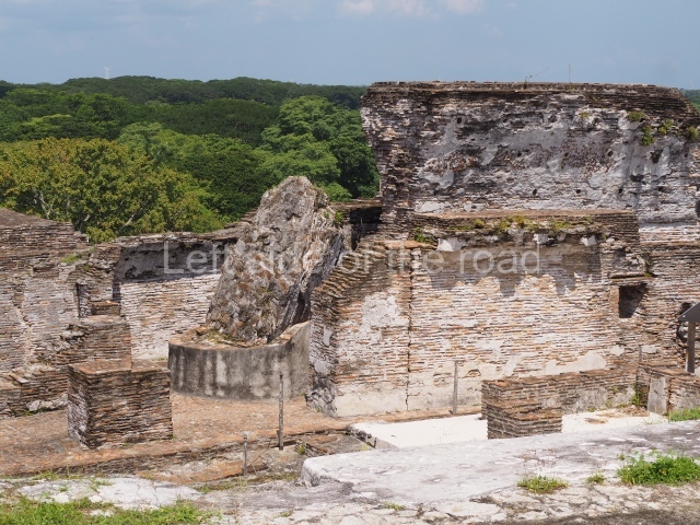
This is the largest architectural group in the city, covering a surface area of 43,878 sq m and standing 39 m tall. It comprises several buildings on different levels and the main entrance is situated on the west side. Three funerary buildings, a palace, two temples and four residential units have been excavated. The excavations at temples VI and VII reveal a short occupation sequence and two construction phases. This is not representative of the group overall because the Acropolis has ceramic remains from a much earlier date. Visible on the main facade of Temple VI is a stucco sculpture of one of the principal deities in the Maya pantheon, Itzamnaaj, a celestial deity identified by his front band decorated with flowers and his curved nose. The three buildings that have been excavated are tiered platforms with funerary crypts inside them. They are surmounted by double-bay temples with interior shrines. The excavations have shown that the entrance to the funerary crypts was sealed and hidden by stairways. Temple IX (the Tomb of the Stuccoes or the Nine Lords of the Night) still contains the funerary crypt as well as the bases of the temple walls. The crypt walls display the stucco-modelled figures of nine individuals. The remains inside the tomb belong to one of the city’s rulers and the dignitaries in the scene probably represent important members of the court. This tomb is situated south-east of the Palace, on a lower level than the artificial platform, and is regarded as the most important of the three tombs found at Comalcalco. It measures 3×3 m and is approximately 2.8 m tall. Situated in the uppermost section of the Great Acropolis is an architectural group comprising the following constructions:

Popol nah or House of the mat.

This contains the remains of stucco-modelled bands which according to Ricardo Armijo represent the ‘royal mat’ or pop, the symbol in Mesoamerican cultures of the political and religious power wielded by the rulers.

Palace.

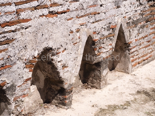
This imposing structure measures 80×8 m and stands 9 m tall. The largest construction at the Acropolis, it is an excellent example of what are known in the colonial sources of the Guatemalan Highlands as ‘elongated houses’ or nim ha, which served as the rulers’ residences. The facade of this construction is defined by pilasters with stucco-modelled images, reminiscent of Palenque, and it contains two long galleries of rooms along the west and east sides. The galleries are interconnected and roofed with brick corbel vaults covered in stucco, while their walls display the remains of niches or openings. Some of the rooms contain low altars in the fashion of abutted benches;

Sunken Court.

Situated south-east of the Palace at a lower level, this space measures approximately 23×11 m. The north side is delimited by Structure 2, a residential construction of which only the main facade has been explored. Visible today are two pilasters and three entrance openings, as well as the remains of what was probably a dividing wall. The south side of the court is delimited by Temple IV or the Tomb, a platform measuring approximately 18.5×7.50 m and standing 10 m tall. A central stairway leads to a temple at the top of the platform containing two bays, one for the portico or vestibule and the other subdivided into three cells with a shrine in the middle one. Also at the centre of the temple is a tomb whose walls are decorated with stucco figures. Flanking the east side of the court is another platform with a central stairway containing an altar with a hieroglyphic Inscription in the stucco. This construction is situated at an angle to Structure 2 to the south-east, which consists of an altar measuring 2×2 m and standing 0.6 m high, with vertical walls and light moulding. The other buildings that have been excavated in the Great Acropolis are:

Temple V.

Situated west of the south side of the Palace, this north-facing structure is similar to Temple IV. At Its base is a tomb whose entrance was sealed by the stairway.

Temple VI or Mask platform.

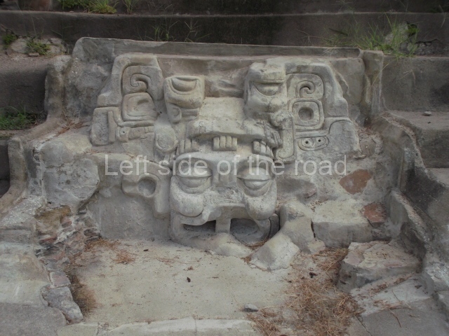
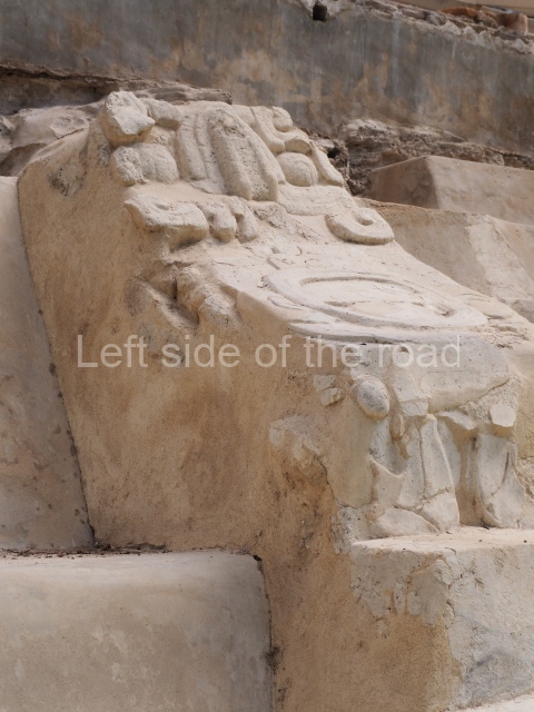
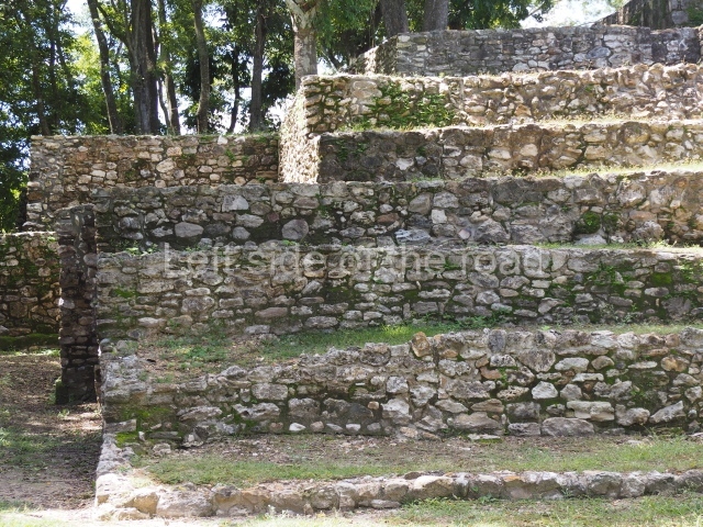
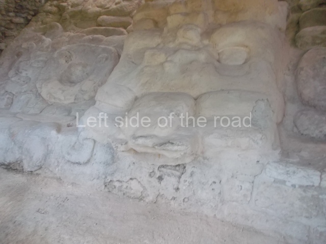
This elongated monument oriented east-west measures 15×12 m and stands approximately 10.5 m tall. It displays two construction phases, the first characterised by the use of stucco and the second by the use of brick. The south-facing facade corresponds to the first phase and overlooks the Great Acropolis Plaza. It is a three-tier platform with a central stairway flanked by balustrades, also tiered, at the base of which is a handsome stucco mask with the effigy of the sun god. The north, east and west facades belong to the second construction phase, as does the temple at the top of the three-tier pyramid. The temple rests on a low plinth and adopted the same layout as temples IV and V: a portico with three openings formed by pillars and in the rear bay the shrine and two lateral cells. The roof was the typical Maya vault.

Temple VII or Temple of the seated figures.

This is situated on the west side of Temple VI. Its main facade is south-facing and the first two tiers display various seated figures, as if depositing an offering; the third tier shows a stylised serpent and a band of hieroglyphs. The central stairway, which is flanked by balustrades, led to the temple, the first version of which was made out of wattle-and-daub and the second out of brick. It adopted the typical format of a portico and shrine with lateral cells.

Temple VIII.

This has not been explored but it must have resembled the previous temples as it constituted the third element on the north-west wing of the Great Acropolis.

From: ‘The Maya: an architectural and landscape guide’, produced jointly by the Junta de Andulacia and the Universidad Autonoma de Mexico, 2010, pp 131-134.

Comalcalco

Comalcalco

1. North Plaza; 2. Temple I; 3. temple II; 4. Temple IV; 5. Temple IIIa; 6. Great Acropolis Plaza; 7. Great Acropolis; 8. Palace; 9. Temple VI; 10. Temple VII; 11. Temple V; 12. Temple IX; 13. Temple IV.   

How to get there:

From the town of Colmacalco. Take a bus or combi from the corner of Nicolas Bravo and La Paz, opposite the new structures of the Mercado 27 de Octubre, going in the direction of Paraiso. Get off at the big junction at the end of the long approach (urban) road to the site, less than 3kms from the town.

From Villahermosa. Take a bus or combi that is heading to Paraiso and get off as described above.

GPS:

18d 16’46” N

93d 12’ 04” W

Entrance:

M$75

See also; Comalcalco Site Museum

More on the Maya

El Tigre/Itzamkanac – Campeche – Mexico

El Tigre - Itzamkanac

El Tigre – Itzamkanac

More on the Maya
El Tigre – Itzamkanac

Location

This is a fairly large province encompassing the River Candelaria and part of the Terminos Lagoon and Sabancuy Estuary. To reach the capital El Tigre (Itzamkanac) from Ciudad del Carmen or Champoton, go to Escarcega, take the turn-off to Candelaria but before you reach it follow the sign to El Tigre, on the banks of the Candelaria. This river is formed by two large tributaries, the Caribe and the San Pedro: the former rises in the Calakmul lowlands and the latter near Flores in Guatemala. It is associated with the two great Maya capitals – Tikal and Calakmul. As it flows past El Tigre, the river is 150 m wide and is navigable throughout its course, although a few kilometres beyond the village of Candelaria numerous waterfalls complicate navigation but enhance the beauty of the landscape.

History of the explorations

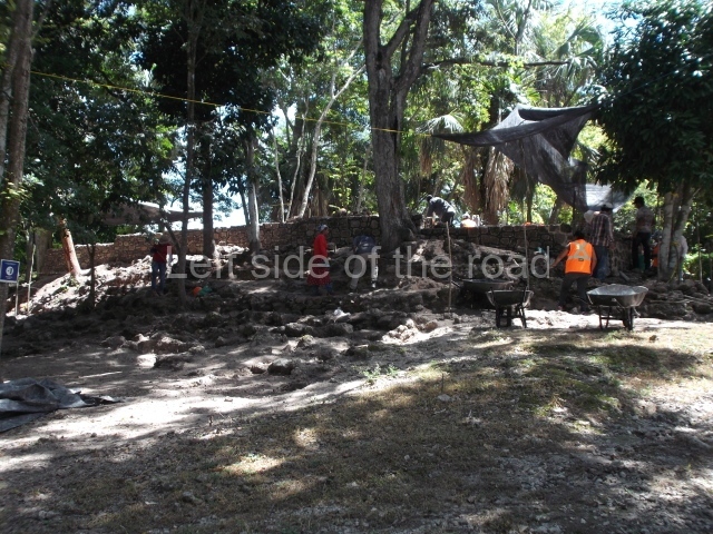
Itzamkanac was first visited by Hernan Cortes in 1525 and subsequently received visits from Alonso Davila, the first encomenderos (Spanish settlers to whom the Spanish crown granted control over a certain number of indigenous people) and various monks. In 1557 the population was obliged to abandon the place and move to Tixchel. In relation to more recent explorations, the earliest of these was conducted by W. Andrews IV (1943), who sailed up the River Candelaria and recorded El Tigre and other sites. We then have the extraordinary work carried out by Scholes y Roys (1948), who described the region and identified Itzamakanac in the ruins at El Tigre and Tixchel on the coast. Pina Chan and Pavon Abreu visited El Tigre in 1959, publishing photographs and a brief description in an article in which they conclude that the site is the Itzamkanac of the historical sources. It was thanks to the interest shown by Pina Chan that a project affecting various structures was conducted in 1984. Prior to that, Lorenzo Ochoa had toured the Candelaria basin with Ernesto Vargas P. and Sofia Pince, and they subsequently made separate tours to shed a little more light on the whole province. Since 1996 Ernesto Vargas P. has been conducting tours of the whole Acalan-Tixchel province based on several of the approaches laid down by Pina Chan, and he has also worked on various structures at the site in collaboration with the State Government, Petroleos Mexicanos and the INAH and UNAM. The site is open to the public, who can view the masks, a ball court and several of the structures.

Pre-Hispanic history

According to historical sources, the Acalan province stretched from Tixchel by the sea, along part of the Terminos Lagoon and the entire Candelaria river basin, to Tenosique. Various researchers have identified Itzamkanac, its capital or administrative centre, with the archaeological site of El Tigre-Campeche. Hernan Cortes passed through the place en route to Las Hibueras in 1525; later on, Alonso Davila re-established the town of Salamanca de Itzamkanac, although it was rapidly abandoned. Neither of them reached the place by the known routes, but we do know that various fluvial and terrestrial routes passed through the Acalan province. The principal one was the River Candelaria, which permitted trade with distant places such as Tixchel, Xicalango, Potonchan and even Nito and Naco in Honduras. A tour of the basins of the rivers Candelaria, Caribe and San Pedro revealed over 150 archaeological sites, proof that the area enjoyed great importance during the pre-Hispanic period. The largest sites are El Tigre, Cerro de los Muertos and Santa Clara on the banks of the River Caribe. Situated on the hills overlooking the River Candelaria, El Tigre was clearly a strategic enclave. The settlement is dominated by a main precinct with structures that stand over 20 m tall, the residential area and a road. Its occupation dates from the Late Preclassic, as demonstrated by several of the masks that have been analysed at Structures 1 and 2. However, the site experienced its heyday during the Terminal Classic and survived until the Late Postclassic, as shown by the finds uncovered at the top of these same buildings.

Site description

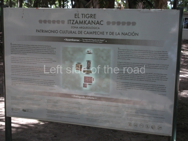
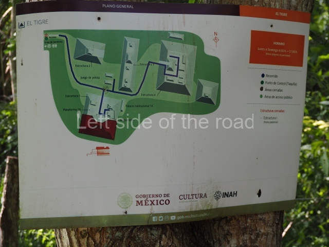
The Ceremonial Precinct is composed of 4 large structures, 6 smaller structures, 2 plazas, 13 altars, 3 stelae and the access roads to the site. The most work has been conducted on Structures 1, 2 and 4. Structure 1 is bounded to the south by the great plaza and measures approximately 150 m along the north-south axis and 135 m along the east-west axis. It is approximately 8 metres high and is surmounted by four platforms, two of which face the front; a 23m-high pyramid rises at the rear of the structure; access to the top of it is via stairways which have been consolidated and reveal the three principal constructions phases of the building: Late Preclassic, Terminal Classic and Postclassic.

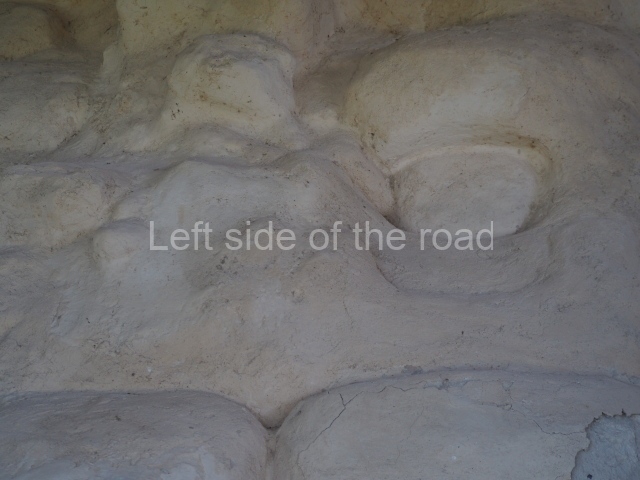
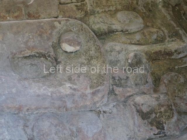
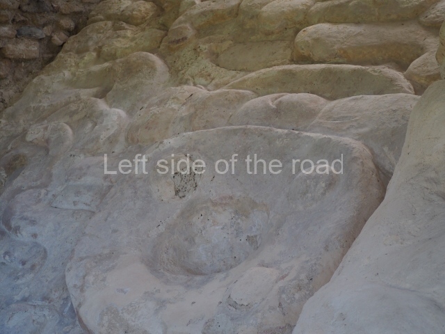
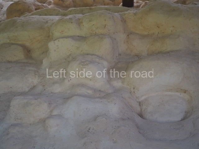
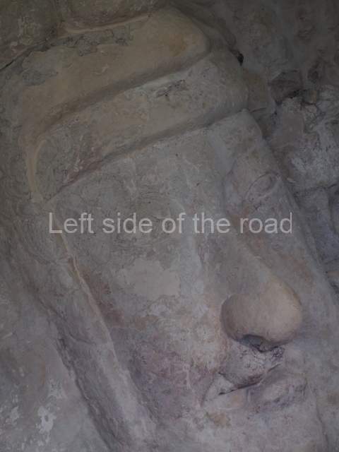
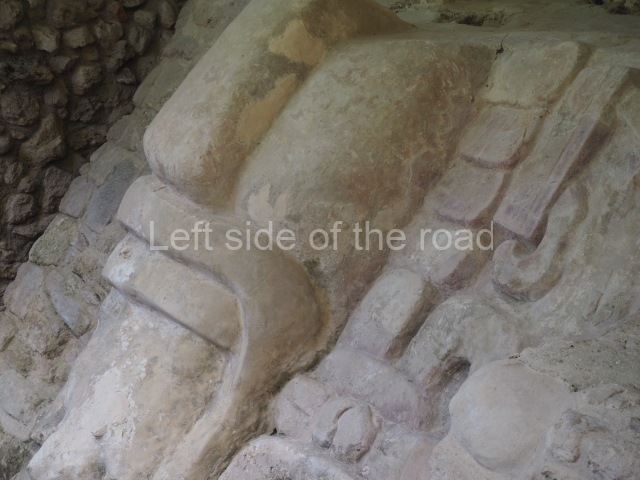
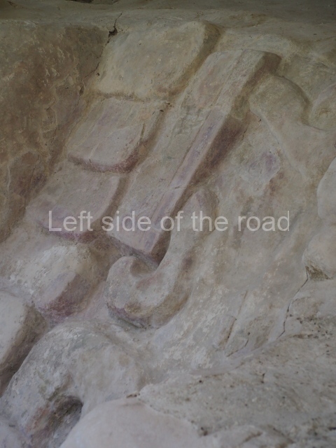
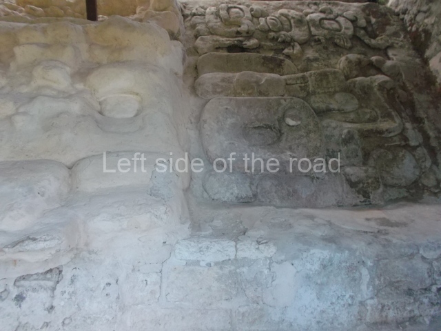
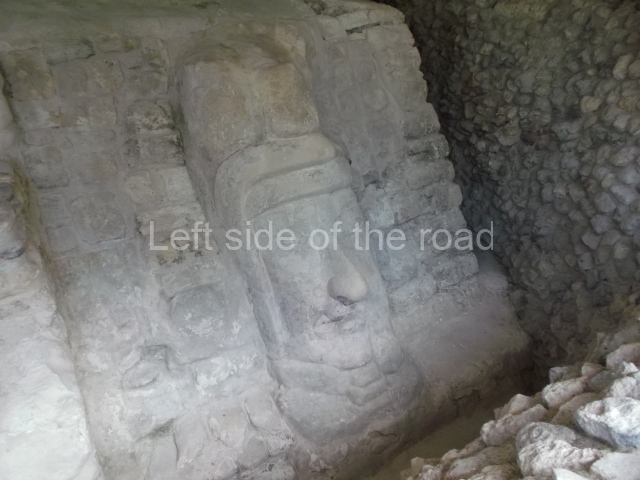
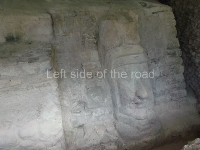
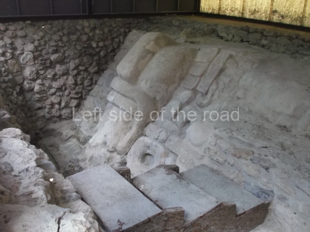
Masks 1 and 2 are located on Platform 1c Sub and belong to a substructure which, judging from the ceramics found and other characteristics, corresponds to the Late Preclassic. Various anthropomorphic and zoomorphic masks have been identified; the former are human faces with a clearly discernible chins, mouths, noses, eyes, plumes and ear ornaments. All of them are painted in red and cream and show traces of black paint. Mask 1 is well preserved and must represent an important figure as it is painted red, the colour identified with power. The head and the sides of the face were covered by a type of helmet – partly destroyed – with three bands and what appears to be an ornament at the centre. Ear ornaments flank the face. These are very simply decorated, showing a large circle with bows or knots and decorative hooks. The entire mask rests on a talud or sloping wall and is divided by a stairway with three steps but no balustrades; intertwining knots or bows can be discerned both above and below the ear ornaments. Below these, what appear to be three leaves reach down to the level that supports the platform and create the impression of being extensions of the ear ornaments. Another design can be discerned above the knot. The symbols presented are associated with royalty, which in subsequent times would appear in Maya iconography and sources.

Mask 3 is characteristic of the Late Preclassic: a figure at the centre, probably an iguana-crocodile, with large ear ornaments sprouting serpents on both sides, two figures at the top looking up to the heavens and below a series of plant-like elements. It measures 4 m in height and 7 m in width, and is abutted to the wall of the building in the form of a talud. There are two such masks flanking a broad stairway, but only one of them has been consolidated. This can be divided into three broad sections: a central section featuring the main figure with ear ornaments and serpents on both sides; and above and below these, knots or bows joining the top to upwardly-looking human faces. The face of the mask is that of a mythical animal, possibly a lizard-iguana-feline creature – the elements above the eyes are very characteristic of lizards, as are the double lidded eyes. The nose is flat – the Maya were either unable or unwilling to represent a realistic nose – and it has nostrils at the sides. The mask itself is divided into three parts: the ear ornaments on both sides, the serpents and the human faces. The two sides can also be divided into three parts: the underworld, the earth and the sky, connected by the knots. In addition to symbolising royalty, the ear ornaments might also signify the terrestrial plane, divided into four large sections distributed around a specific point at the centre of the world, the fifth direction. The bows above and below the ear ornaments might well signify the connection between the different worlds – the earth, underworld and sky. These masks conveyed important religious messages for the Maya inhabitants in Preclassic times.
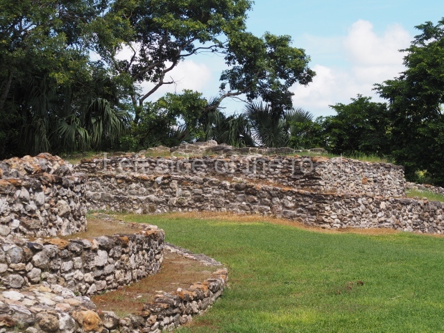
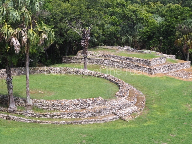
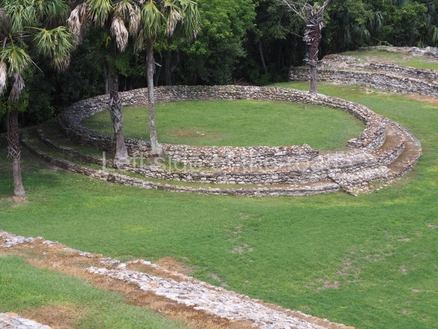
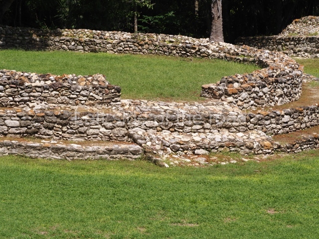
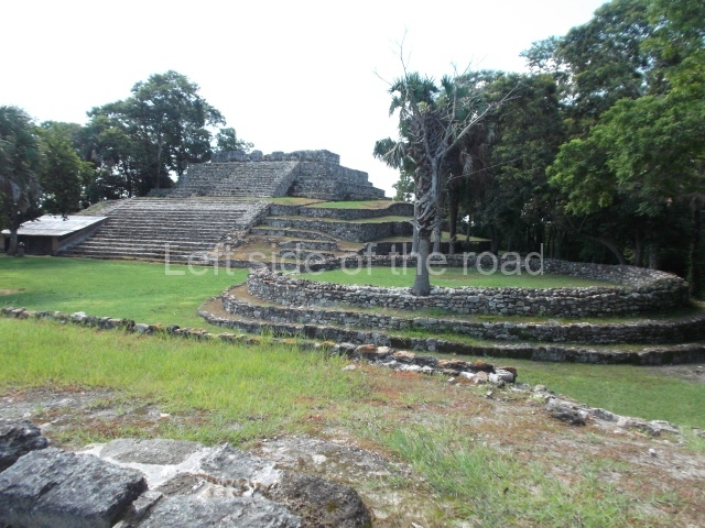
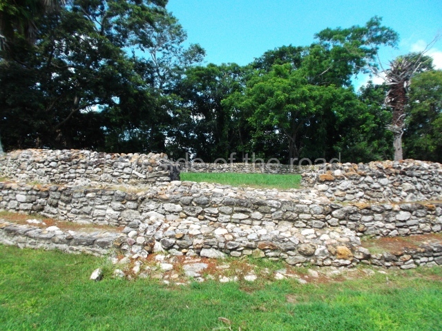
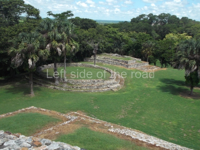
Platform 1a is round and composed of a circular wall which must have subsided due to the weight of the flat roof, causing part of the walls to collapse outwards. The only entrance door faces east. According to the Papeles de Paxbolom Maldonado, one of the principal gods venerated at Itzamkanac was Kukulcan and this temple may well be dedicated to him. The residential palace stands at the south-east corner of Structure 1; the rooms have decorative moulding and the perfectly-preserved walls still stand just over a metre and a half high. The residential unit is composed of various rooms at the top of the building, all of them inter-connected by doors and fronted by a corridor accessed by a stairway. This residential unit is flanked by two independent rooms. The decorative mouldings in the building are in the Rio Bec style, as are the curved walls and the stonework. This building is very important for El Tigre, not only because of the Rio Bec influence but also because it corresponds to the Terminal Classic (AD 900-1100) and boasts Balancan and Altar ceramics, as well as a few examples of the Tinaja Red ceramics characteristic of the region of Calakmul and Rio Bec. There are signs that the building was deliberately destroyed. Part of the mouldings were reused and the rooms were filled with another material.

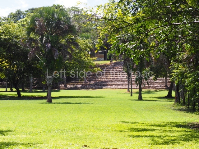
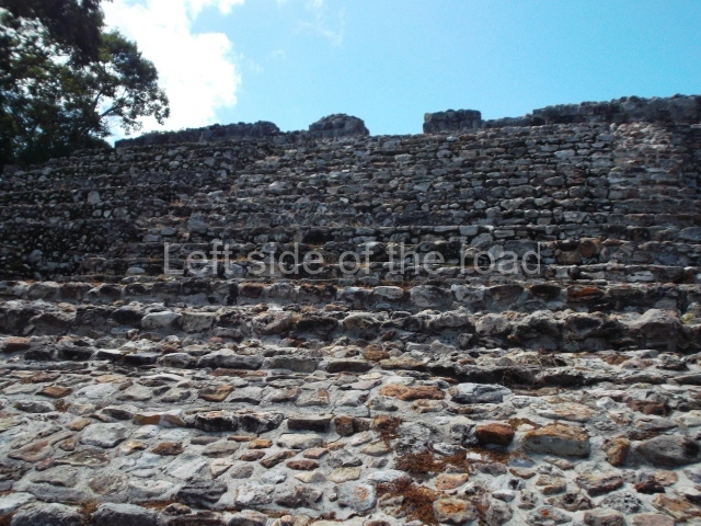
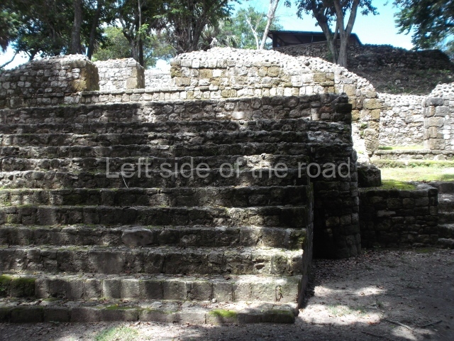
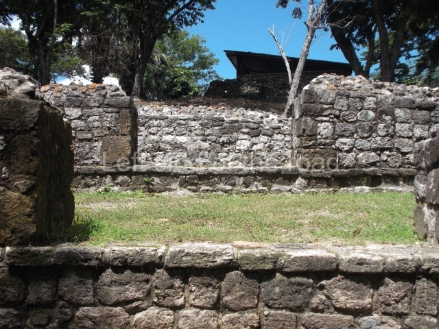
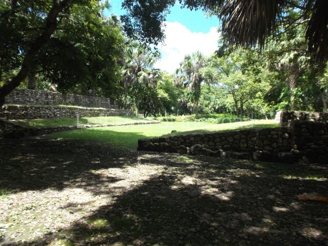
Structure 4 is the largest construction on the site, measuring nearly 200×200 m and adopting a quadrangular plan. This large platform stands some 10 m above the plaza, forming a type of raised plain on which sit seven mounds of varying sizes and shapes. The main one rises 28 m above the plaza, commencing at the base of the structure, and is possibly the highest mound on the site. Oriented east-west and aligned with the mounds of Structures 2 and 3, it stands 15 m above the base of the large platform, at the middle; it is preceded by a smaller 3-m-high mound. There are other elevations both to the south and north, the most important ones being those of the latter direction – some of these are 3 m high, while the elevations to the south are barely delimited. This is also true of the ones in the north-west, where even the remains of the base can be discerned. The work conducted on Structure 4A can be summarised as follows: the lower part has been delimited and several subsequent platforms covering earlier stages have been found. We believe that the building has had at least four construction phases: the oldest dating from the Late Preclassic, followed by the Early Classic, Terminal Classic and the Postclassic. The stairways also reveal various stages. Opposite Structure 1, in the middle of the Great Plaza, is Structure 5 or the ball court, where the sacbe culminates. This comprises two buildings and a court, the flat space between them. The two parallel structures have a vertical inner wall followed by a talud of varying gradient and stairways or ramps to access the upper part: this is an example of the socalled open variety of ball courts. We believe that some of the walls are from the Late Preclassic, although the construction we see today corresponds to the Terminal Classic and the extensions on the east side to the Late Postclassic.

Importance and relations

Despite the relatively scant exploration of this area and the fact that it is largely unknown to travellers, the River Candelaria nevertheless played an important role during the pre-Hispanic age as a channel of communication between the two great Maya capitals – Calakmul and Tikal. In the Preclassic period the region appears to have maintained vital links with Peten in Guatemala, as evidenced by the ceramics found and the characteristic masks adorning the architecture. During the Classic period it had greater links with the coast and other Chontal ports such as Xicalango and Potonchan. These links were maintained in the Postclassic, when trade was also pursued with the Yucatan Peninsula. Itzamkanac was a very important fluvial port, albeit situated inland, and its role differed from that of other Chontal ports.
From: ‘The Maya: an architectural and landscape guide’, produced jointly by the Junta de Andulacia and the Universidad Autonoma de Mexico, 2010, pp 285-288.
El Tigre - Itzamkanac

El Tigre – Itzamkanac

1-4. Structures 1 to 4.

How to get there:

From Candelaria. El Tigre is a long way from the nearest major town of Candelaria. There are plenty of taxis that have their rank at the bottom of the main square, opposite the main church. If you are good at bargaining you might be able to get a decent rate to take you there, wait while you visit and take you back to town. You would really need at least an hour for a visit.

GPS:

18d 07’ 15” N

90d 15’ 13” W

Entrance:

M$70

More on the Maya