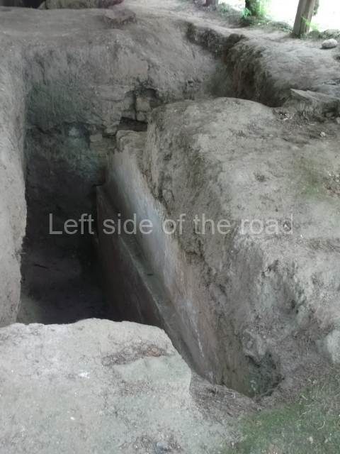
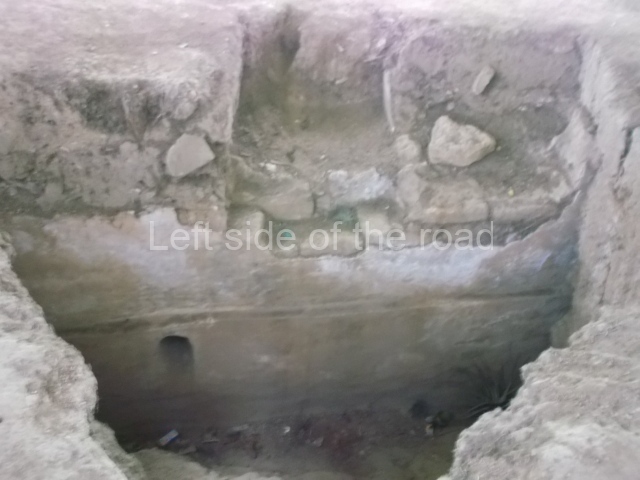
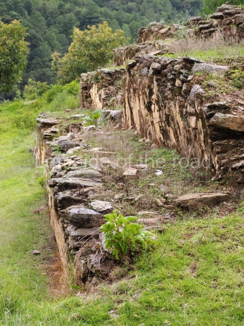
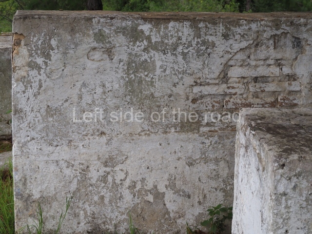
Mixco Viejo – Guatemala

Mixco Viejo

Mixco Viejo

More on the Maya

Mixco Viejo

Location

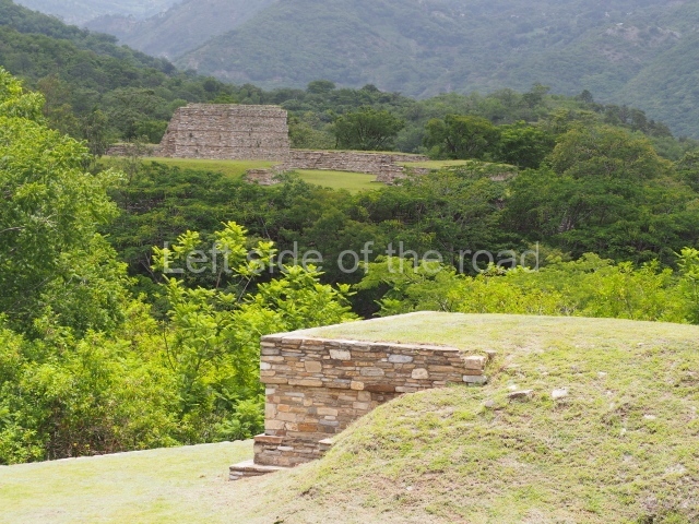
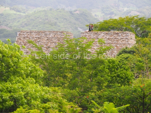
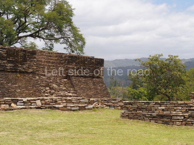
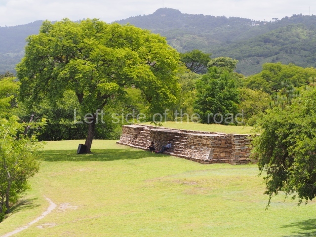
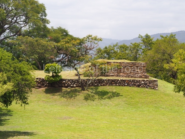
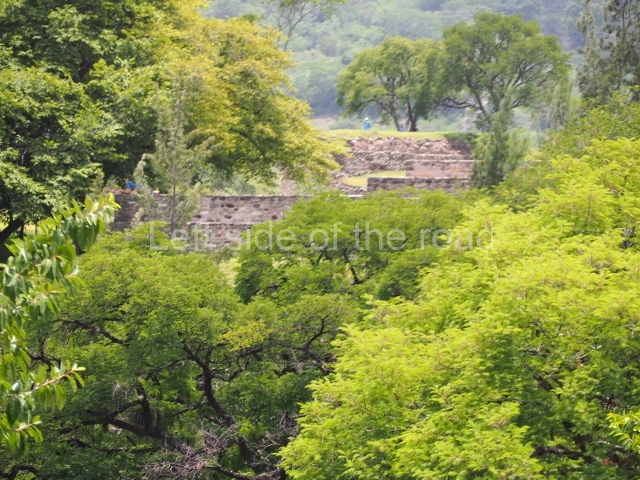
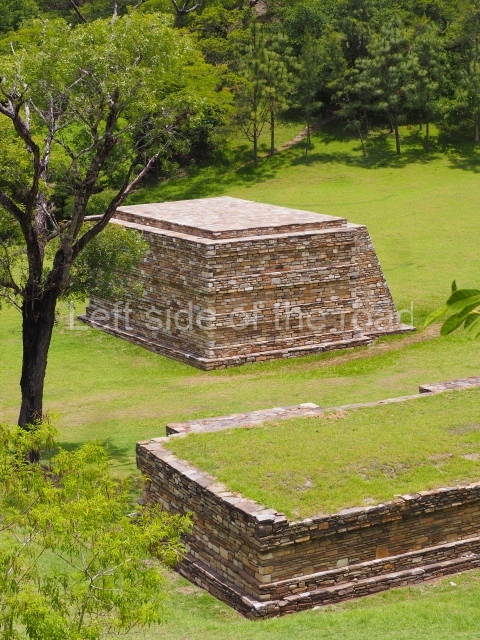
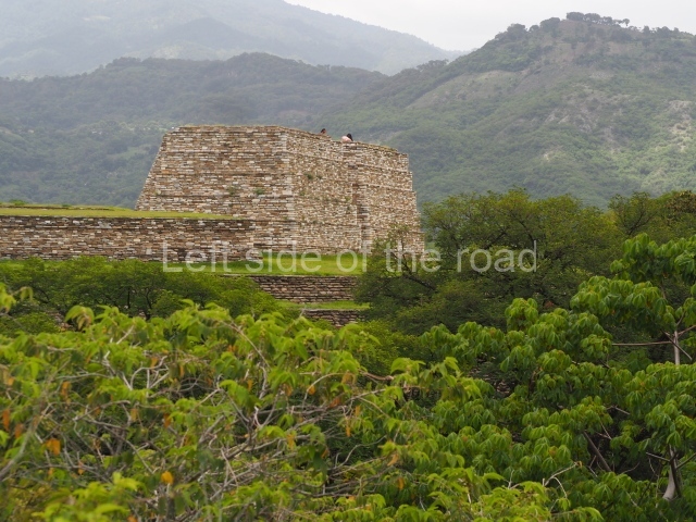
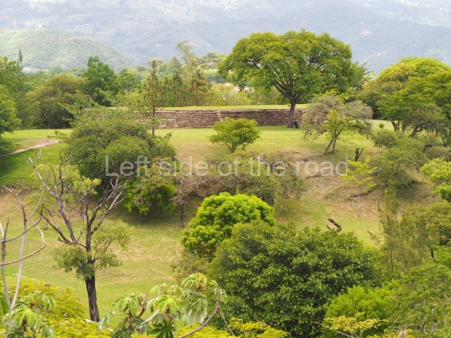
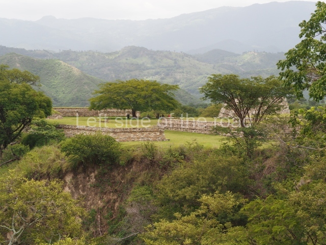
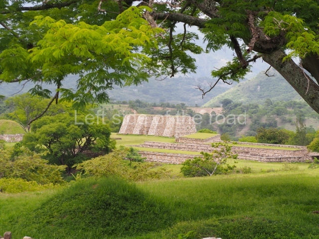
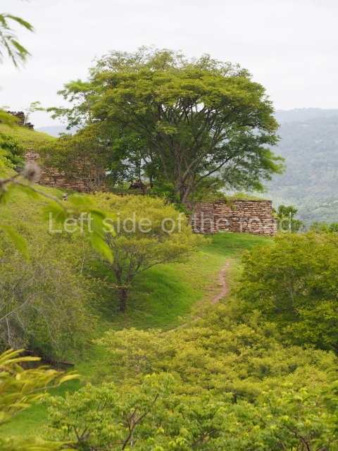
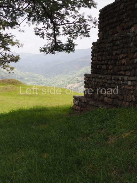
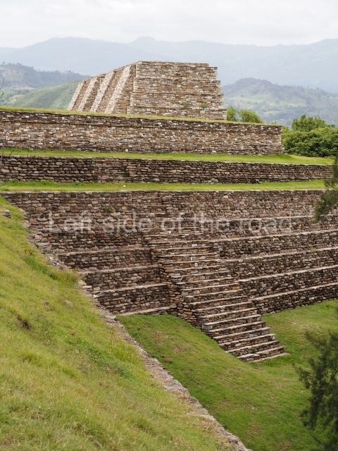
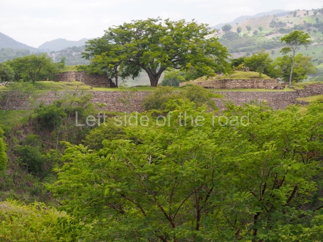
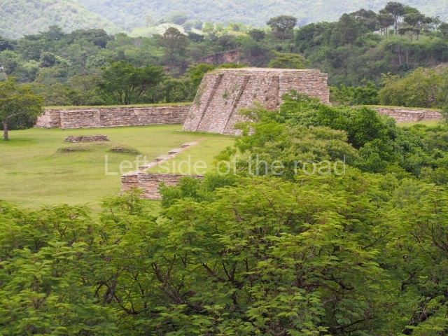
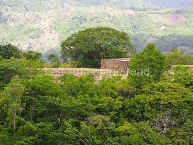
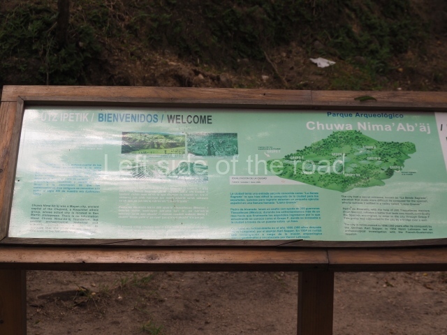
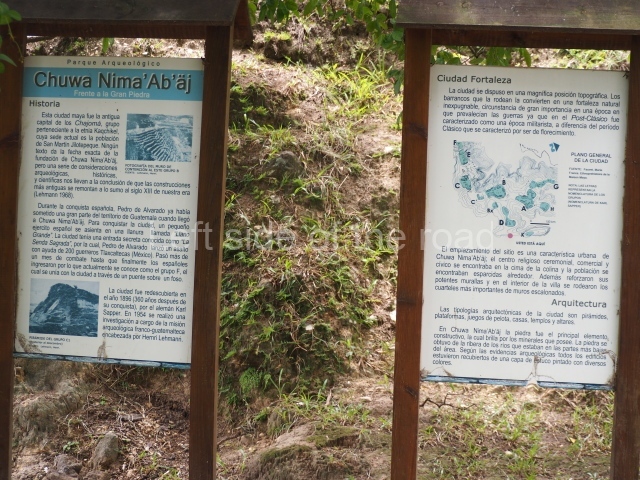
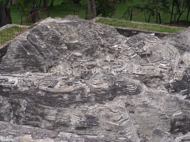
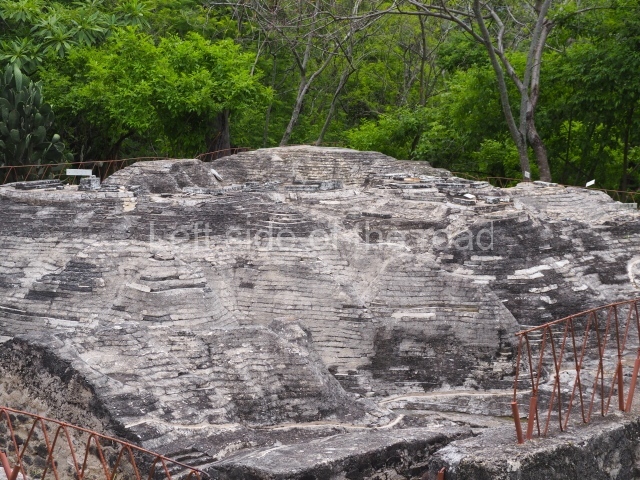
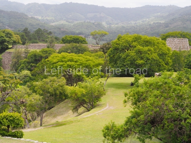
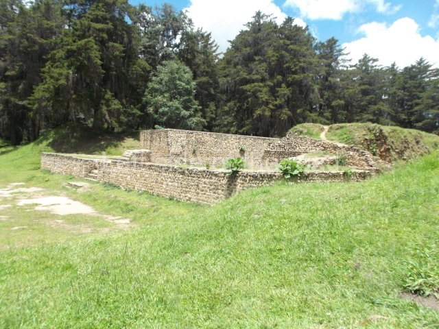
This is one of the most representative Postclassic archaeological sites in the Guatemalan Highlands. Its architecture and landscape combine to make it one of the finest exponents of a defensive site or fortress city from the last period of the pre-Hispanic period. It is situated on a plateau surrounded by deep ravines, 61 km north of the present-day Guatemala City.

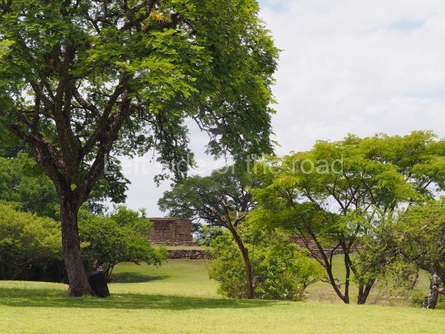
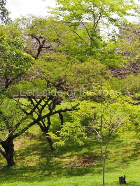
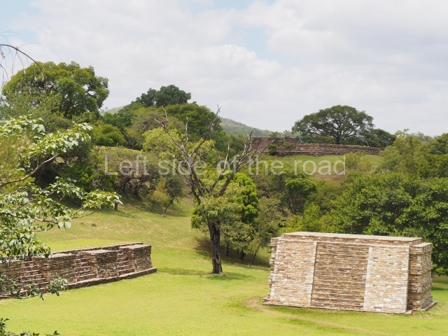
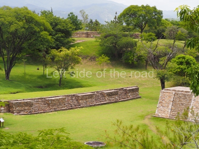
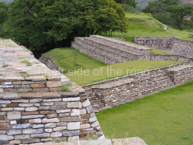
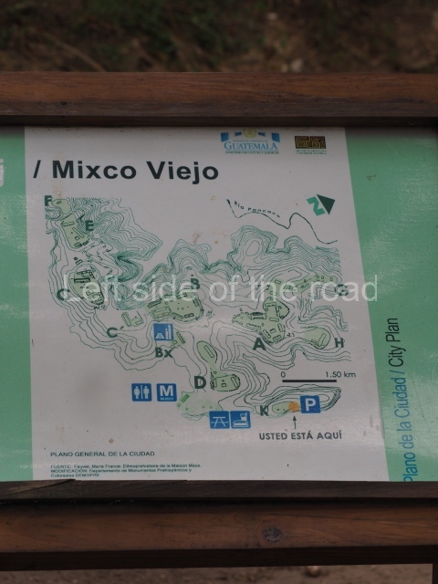
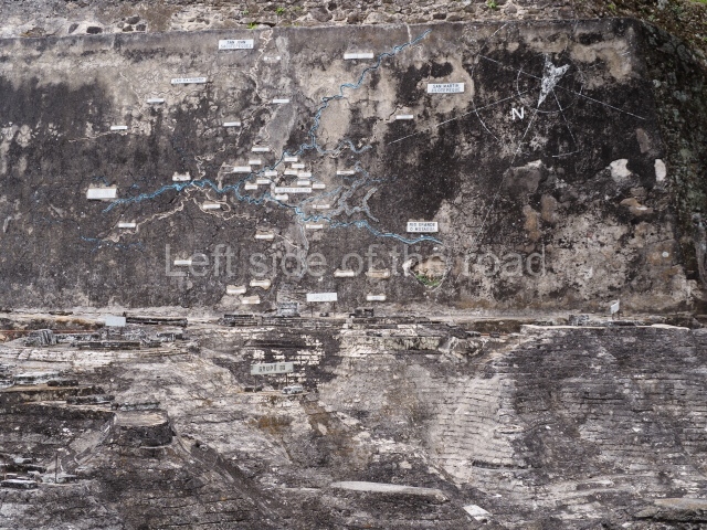
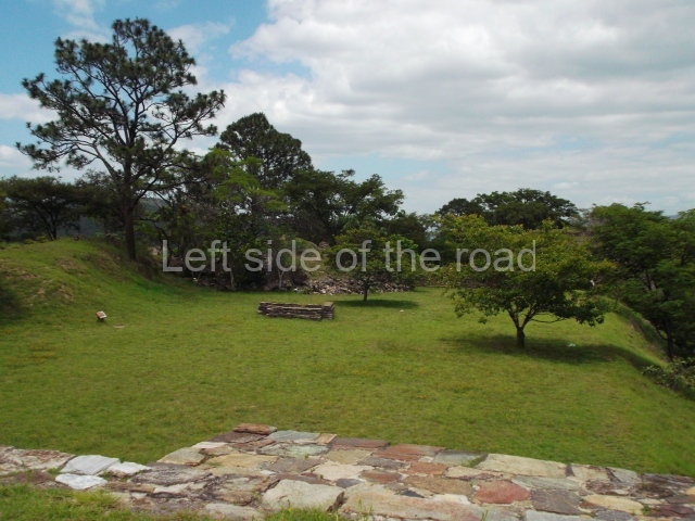
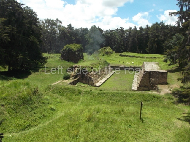
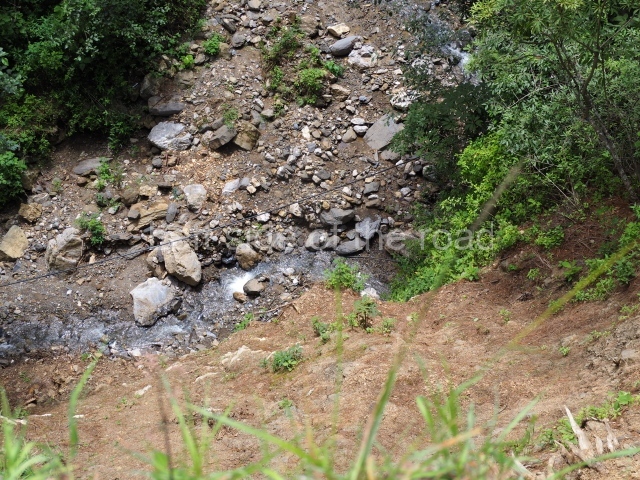
The confluence of the rivers Motagua and Pixcaya flows in deep ravines all around the site. The predominate climate is hot and dry, and the vegetation is of the thicket type. The site, which covers an area of approximately 1 km and stands 880 m above sea level, contains over 100 structures distributed in several groups designated by letters. Each group consists of one or more temples, several platforms for supporting large houses or palaces, and a ball court, all situated around enclosed or open plazas.

Pre-Hispanic history

According to Fuentes and Guzman, the fortress at Mixco Viejo was a virtually impregnable military bastion due to its location and magnificent defensive position. However, following cruel battles waged on the plains around the site, a group of prisoners revealed a secret access to the Spaniards, enabling them to take the defenders of the fort unawares and defeat them in a campaign led by Pedro de Alvarado.

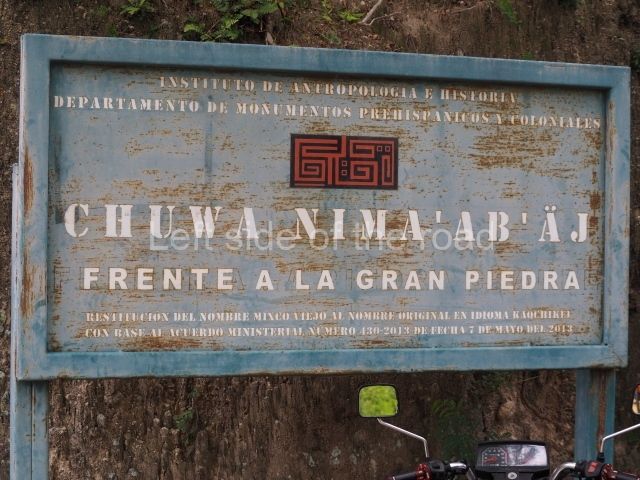
The ruins of Mixco Viejo were identified by Karl Sapper, who visited the site at the end of the 19th century. The next visitor was A. L. Smith, who included it in his book Archaeological Reconnaissance in Central America, and in a chapter in his Handbook of Middle American Indians. The first excavations were conduced by Henri Lehmann of the Franco-Guatemalan Mission in 1954. According to historical records, the site was the capital of the Pocomam kingdom, whose present-day descendants live in the town of Mixco. However, a detailed ethno-historic research project led by Robert Carmack proved that Mixco Viejo was the capital of the Chajoma Maya, a group belonging to the Caqchikel race, whose present-day home is the town of San Martin Jilotepeque. Carmack believed the correct name of the site to be Jilotepeque Viejo, and that the Pocomam capital was the ruin known as Chinautla Viejo, not far from the present-day Zone 6 in Guatemala City. However, out of habit, this important site has continued to be known as the ruins of Mixco Viejo.

Site description

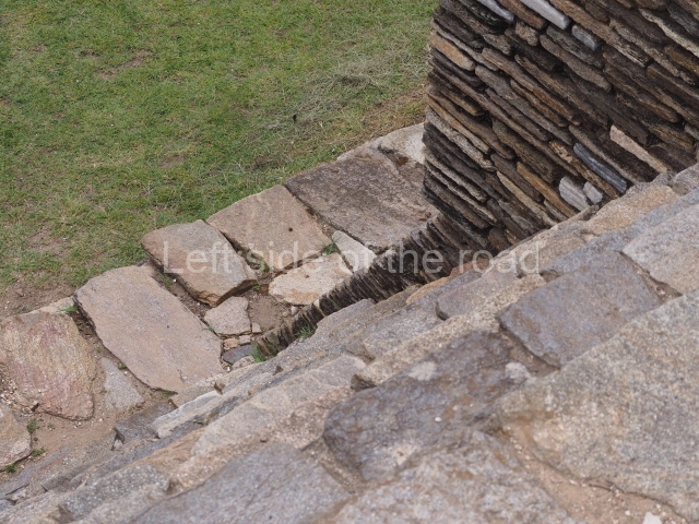
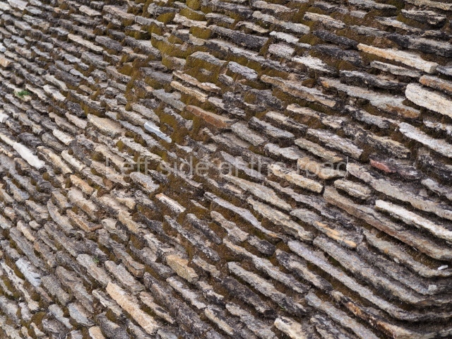
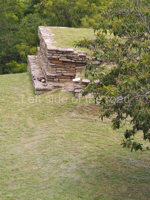
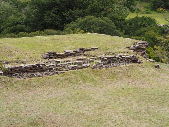
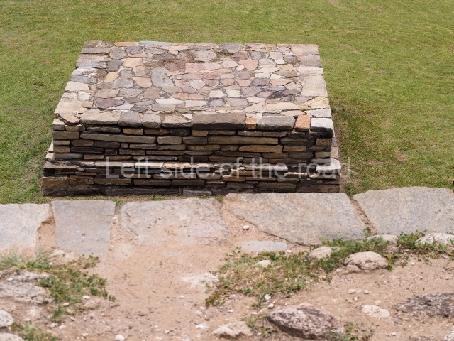
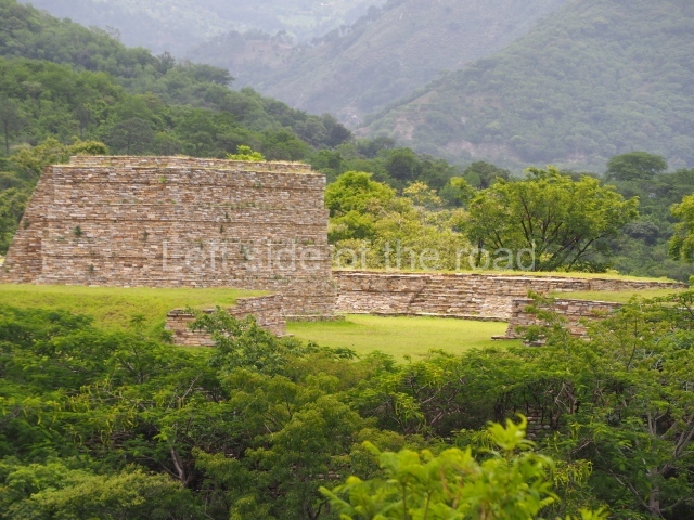
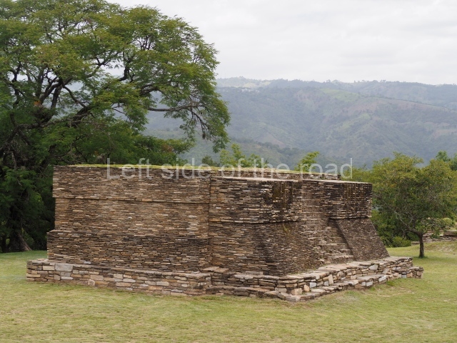
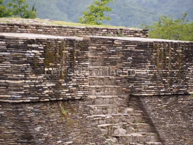
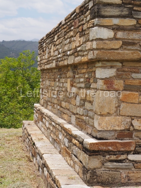
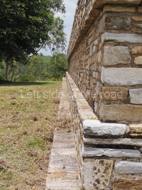
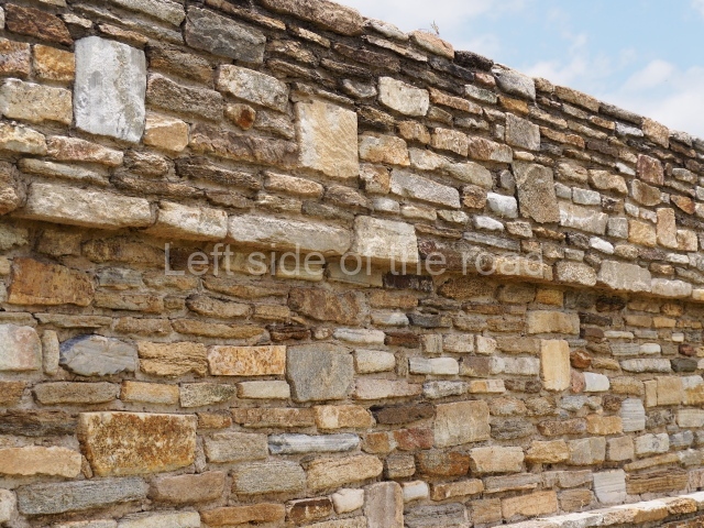
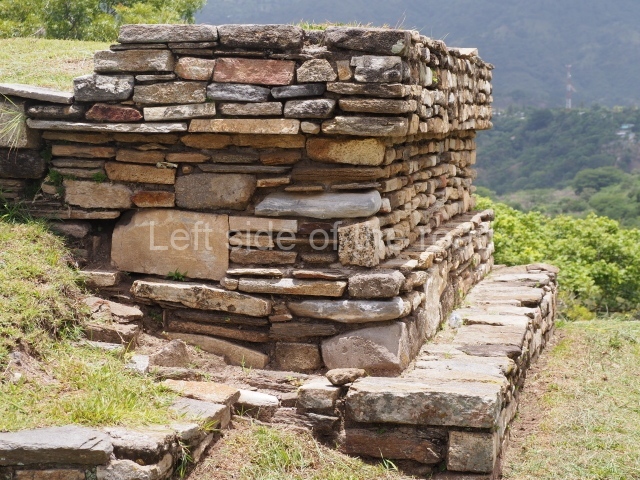
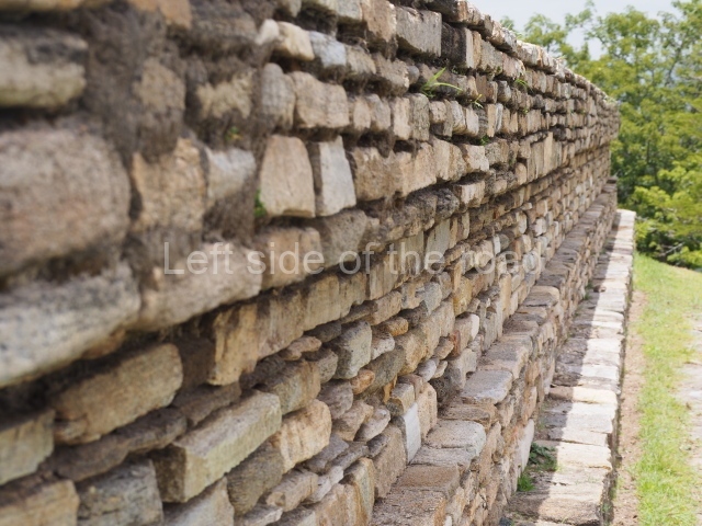
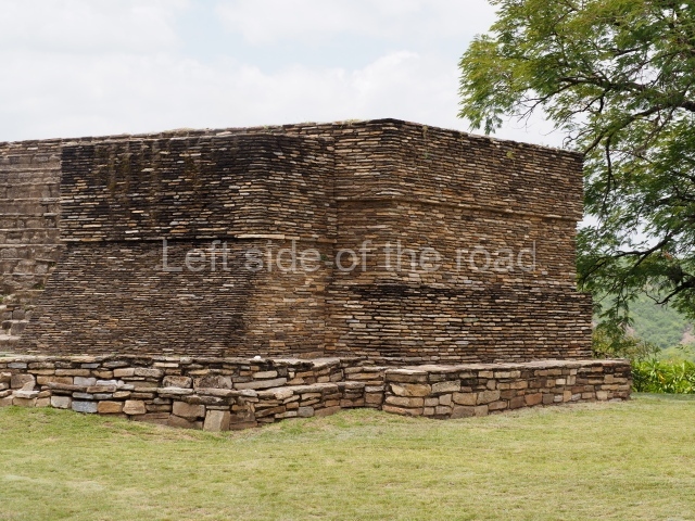
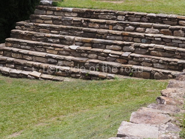
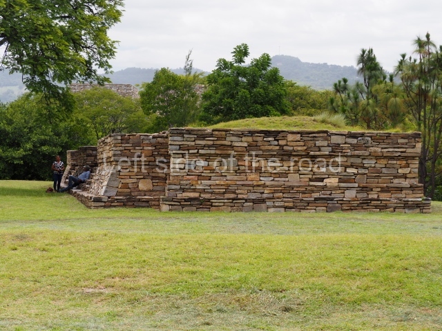
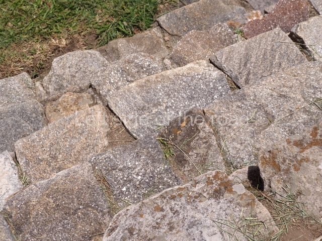
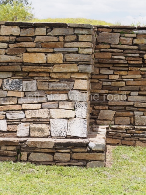
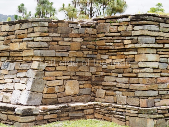
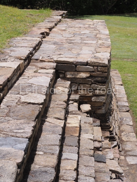
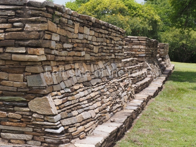
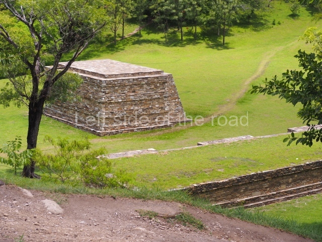
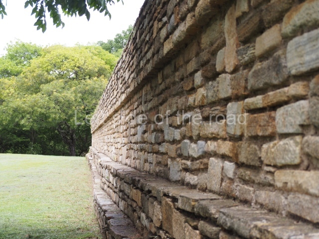
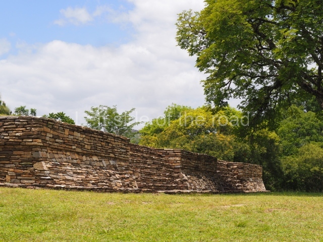
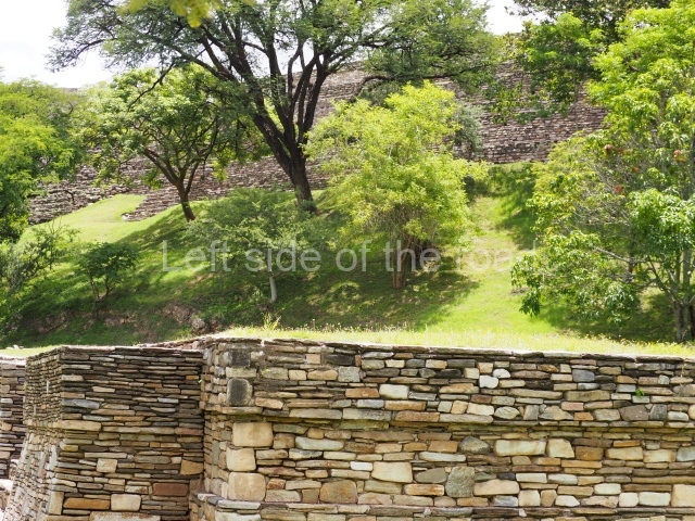
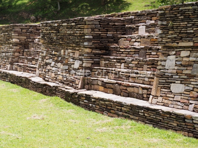
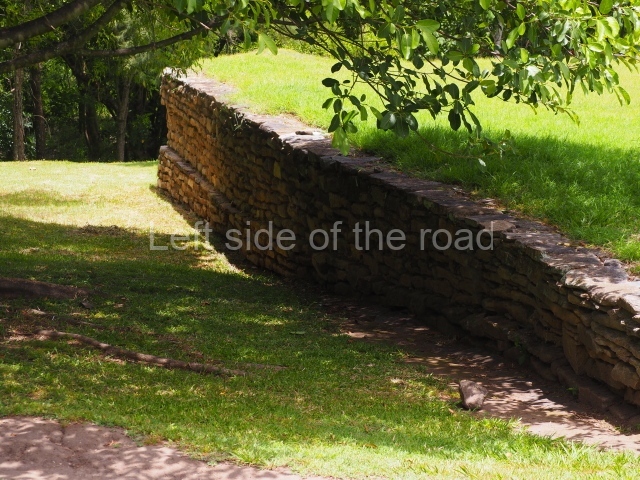
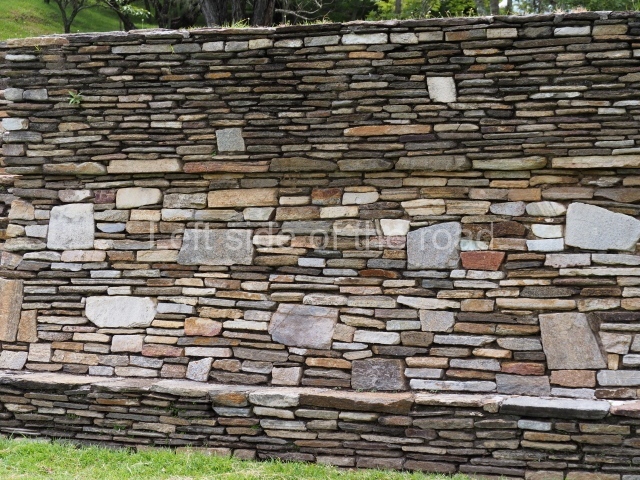
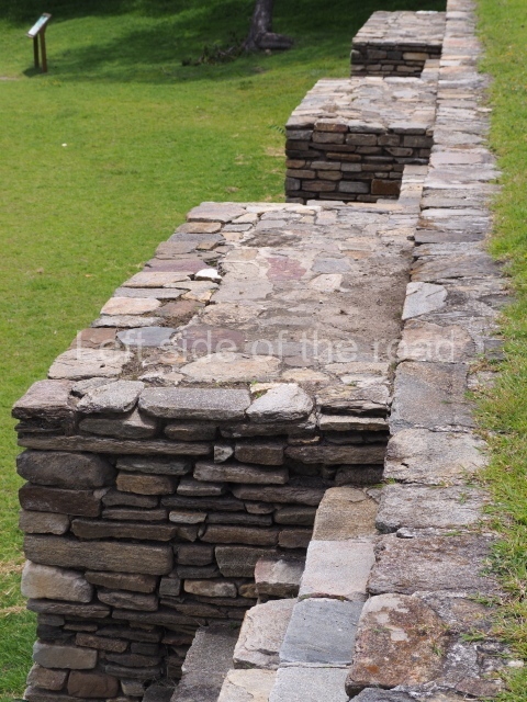
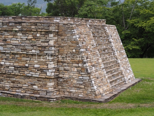
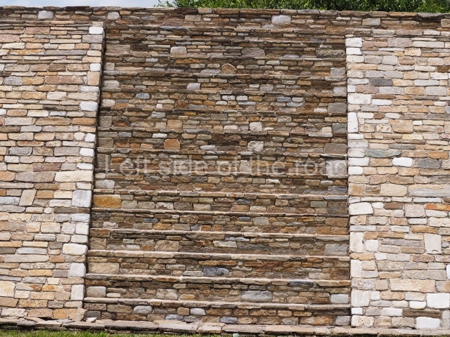
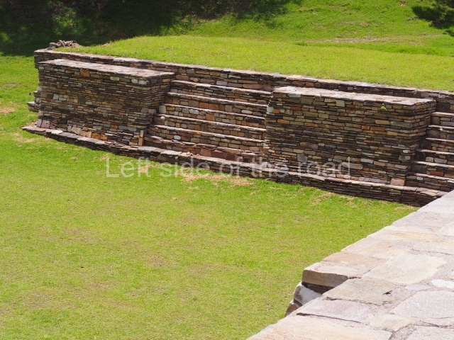
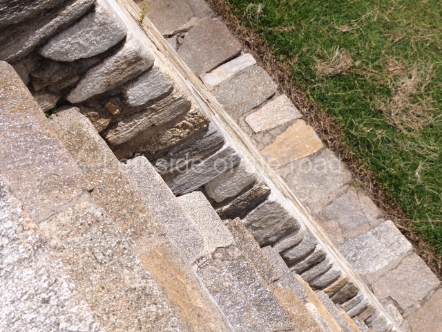
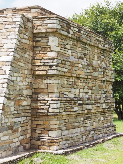
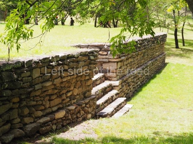
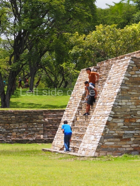
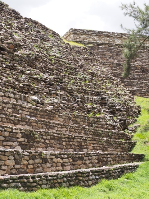
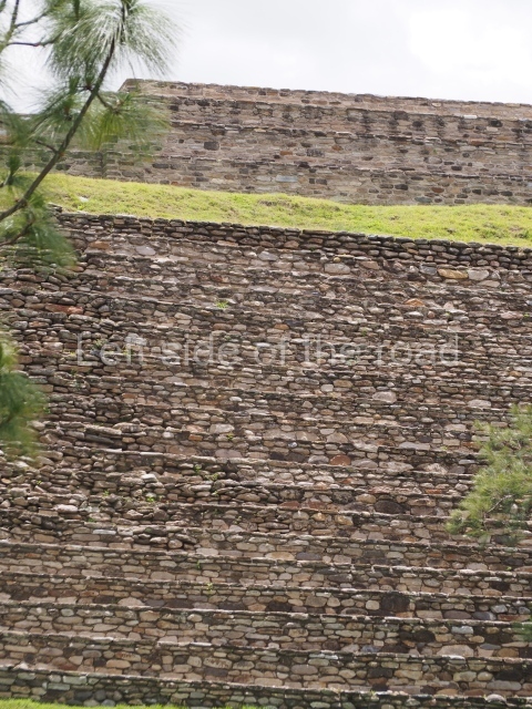
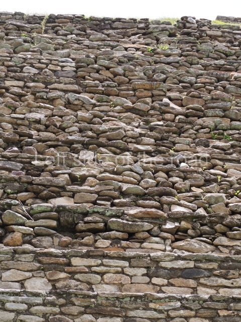
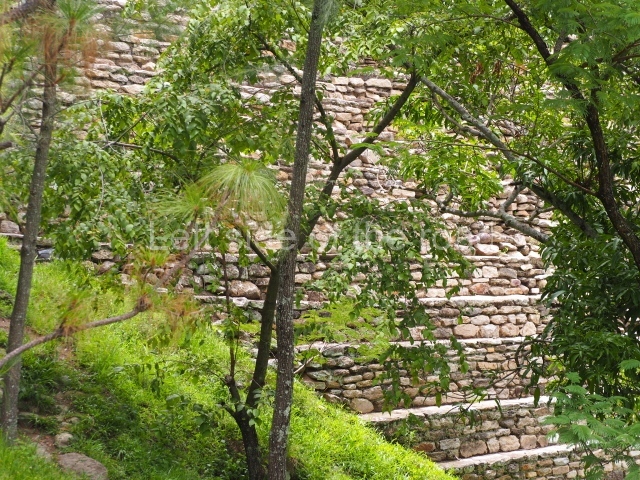
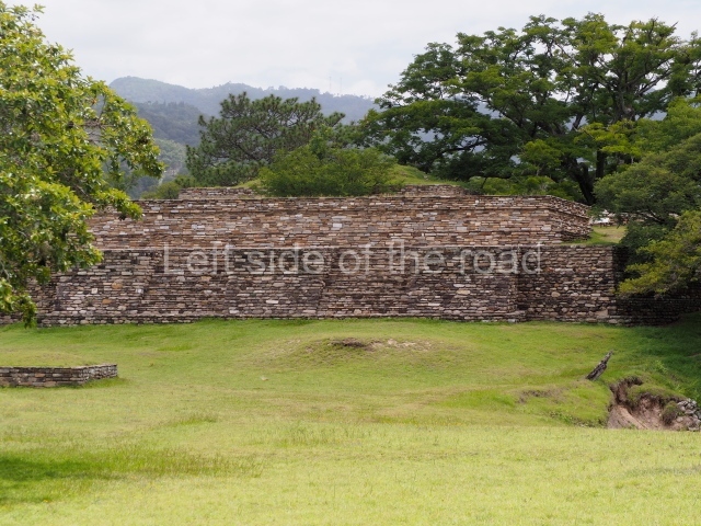
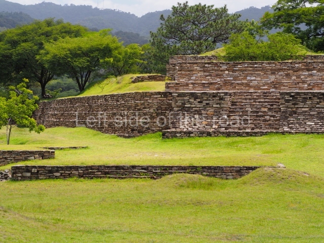
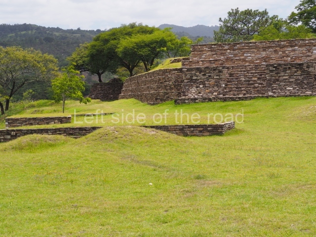
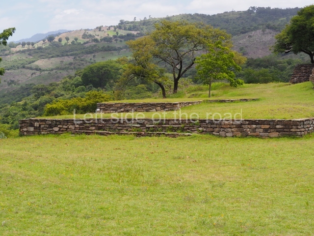
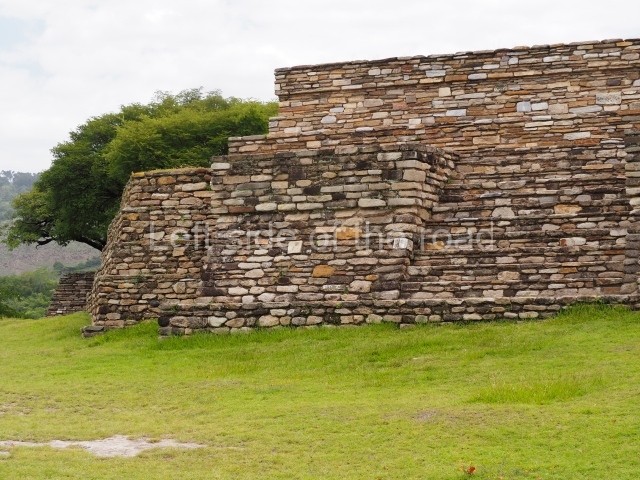
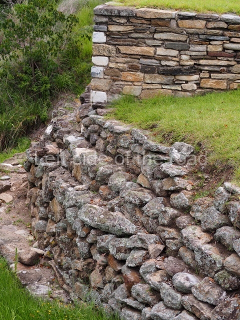
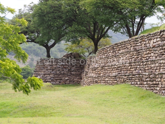
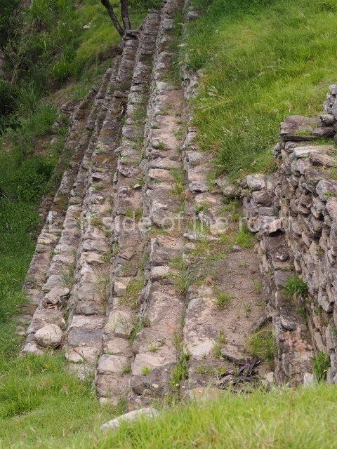
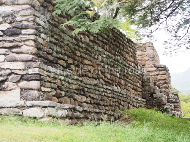
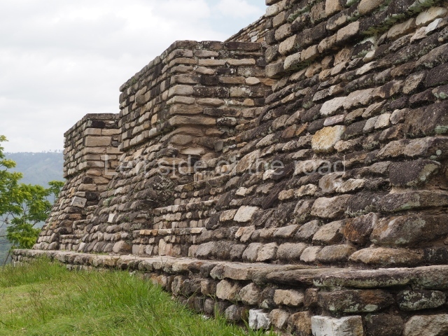
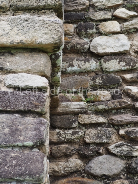
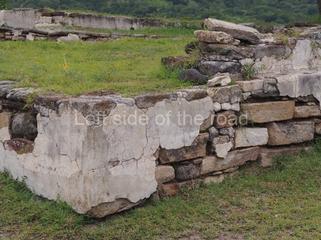
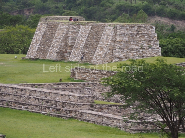
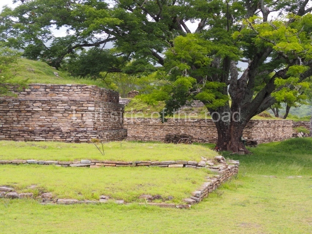
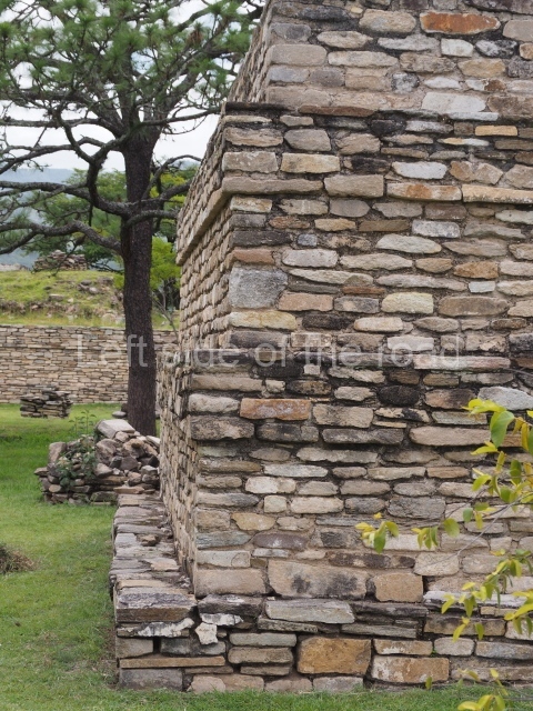
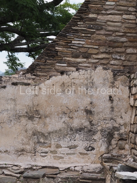
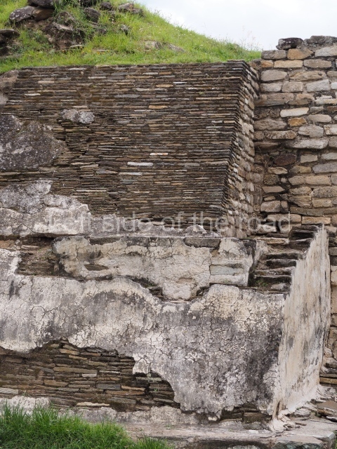
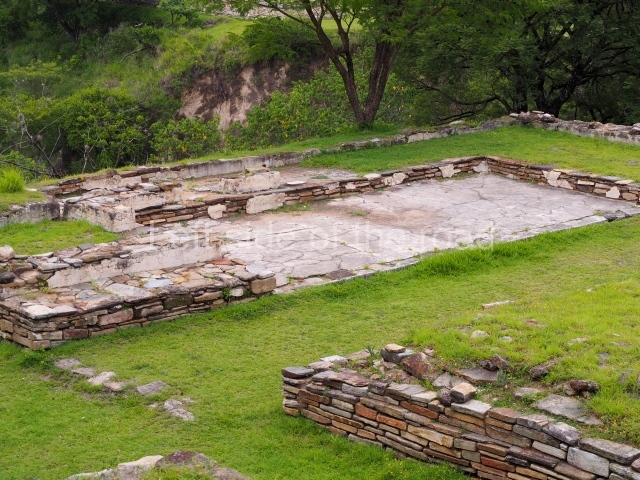
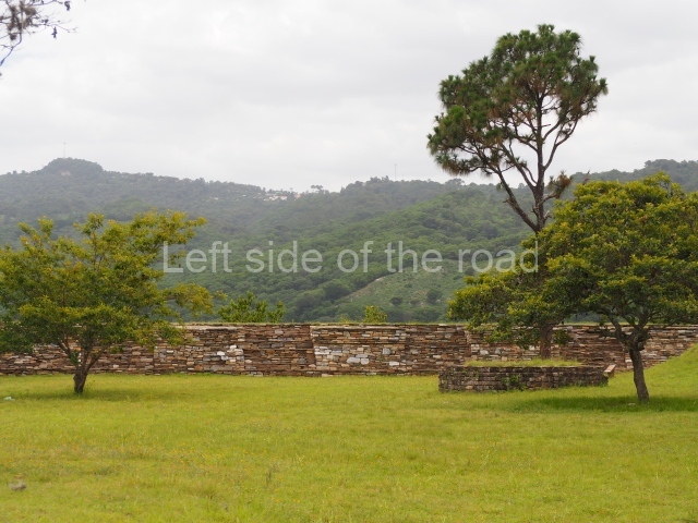
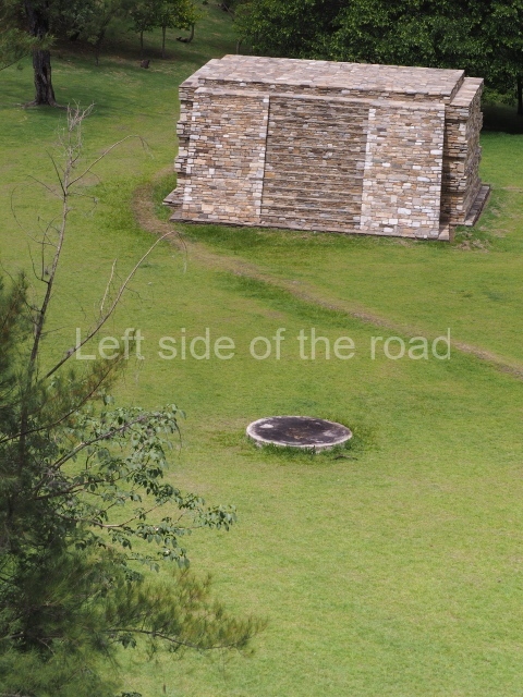
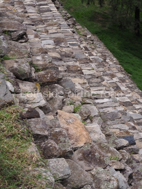
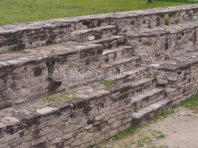
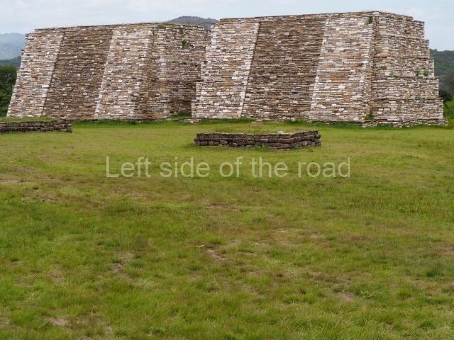
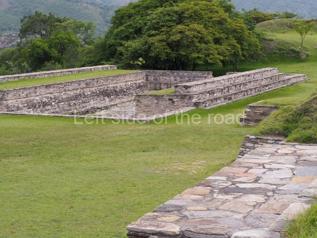
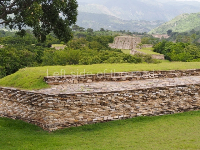
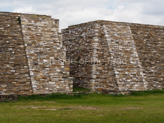
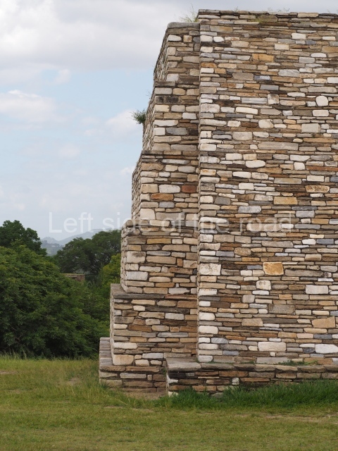
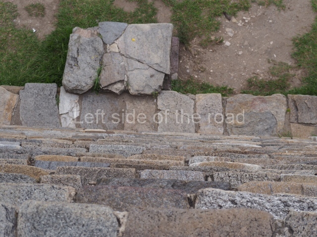
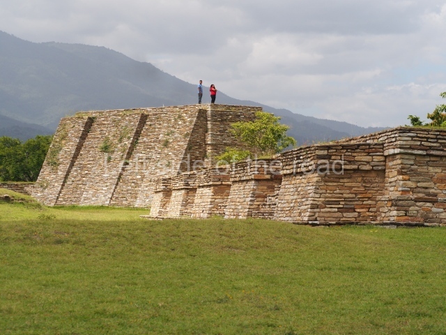
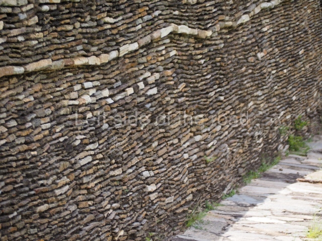
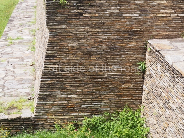
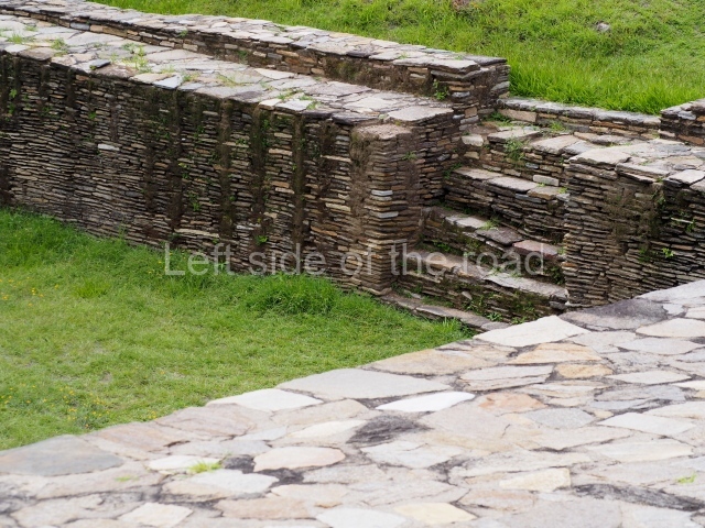
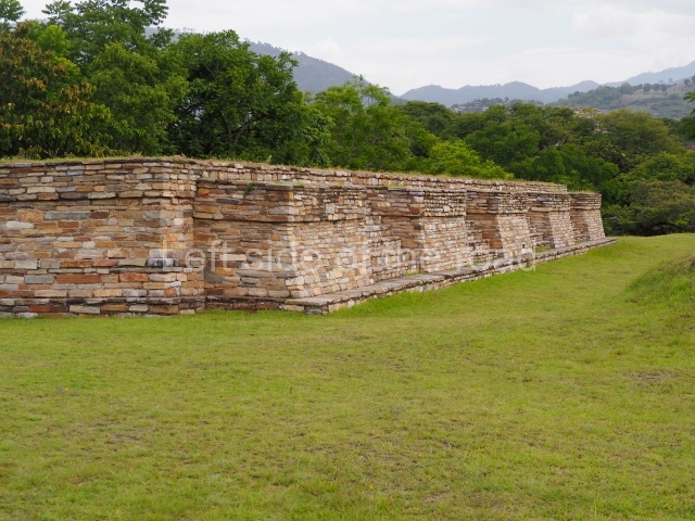
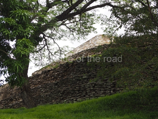
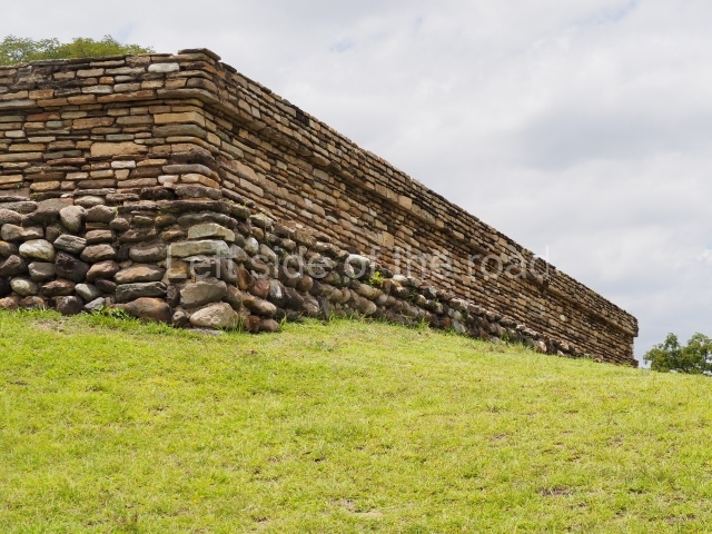
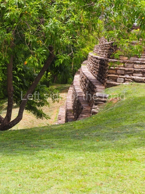
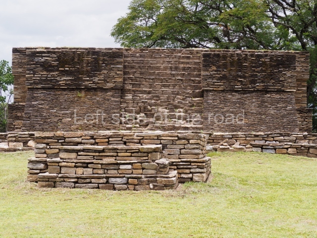
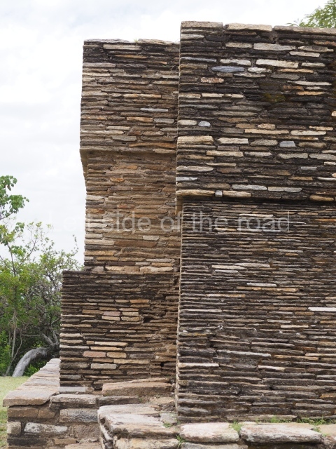
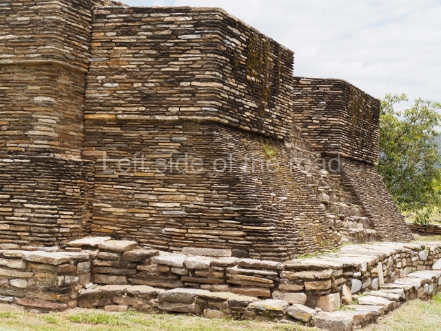
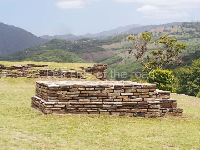
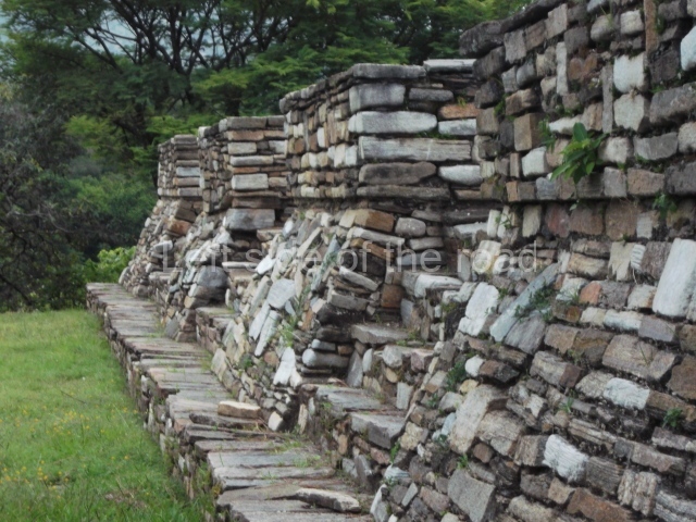
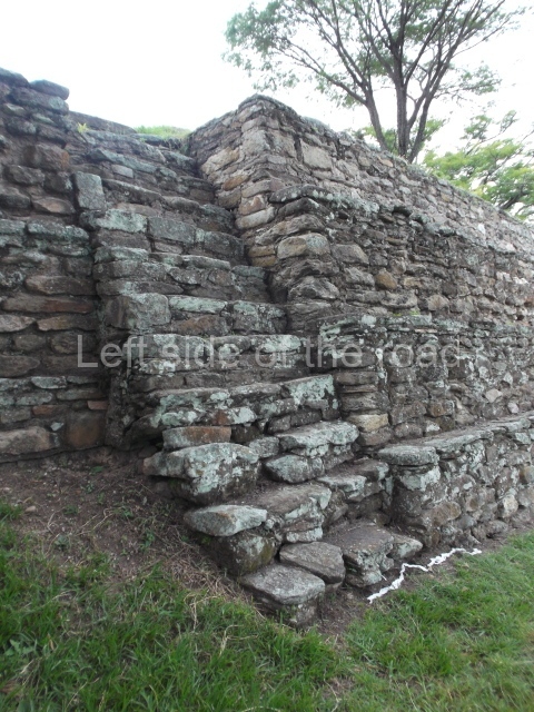
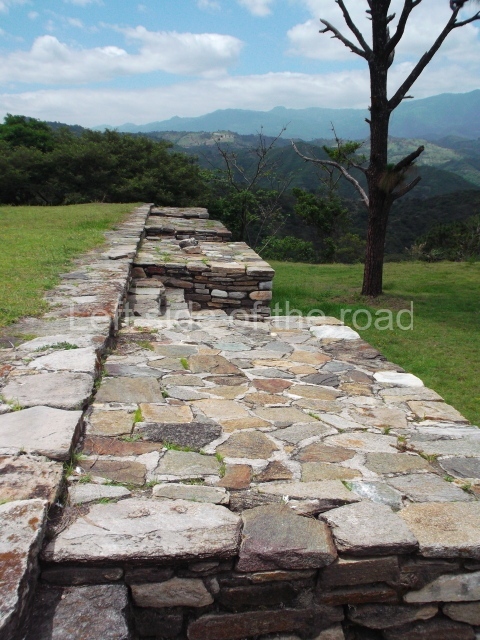
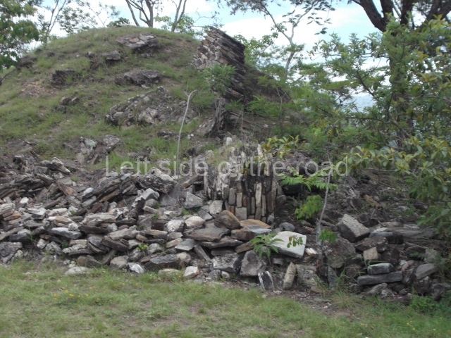
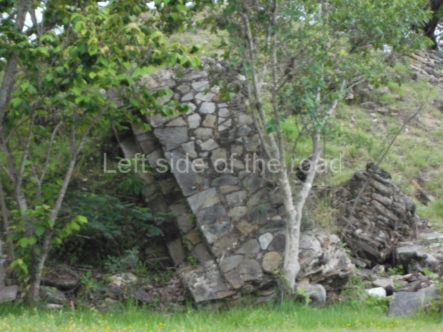
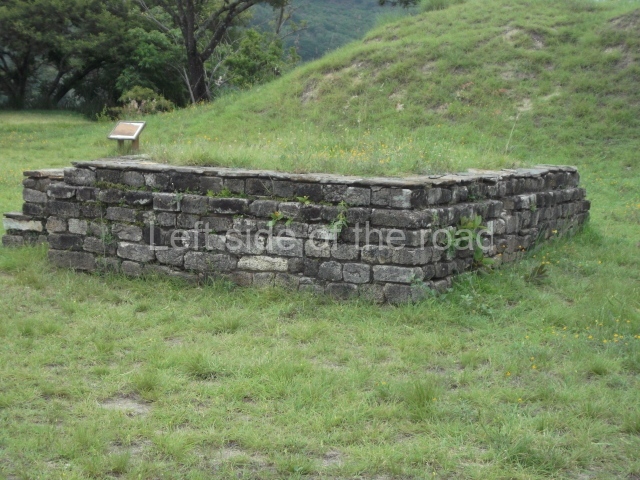
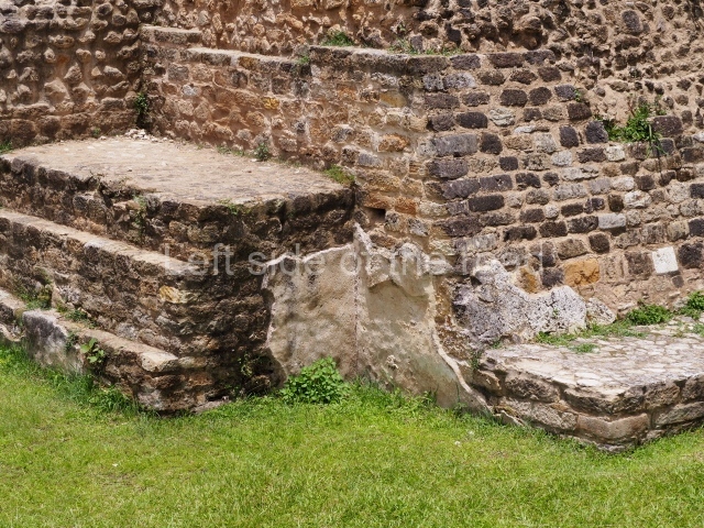
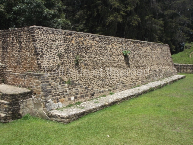
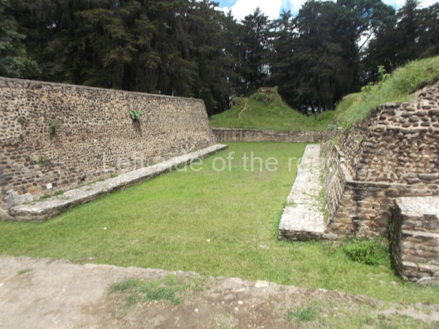
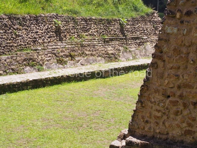
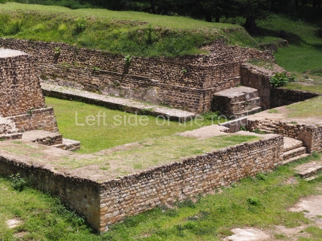
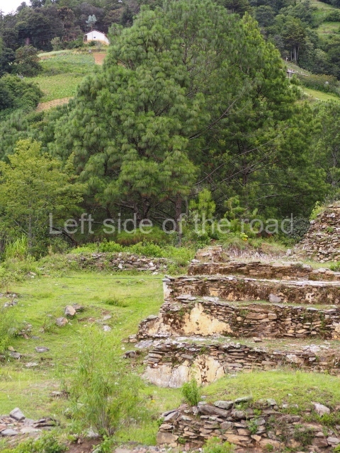
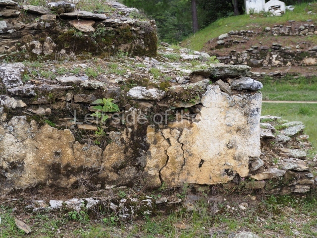
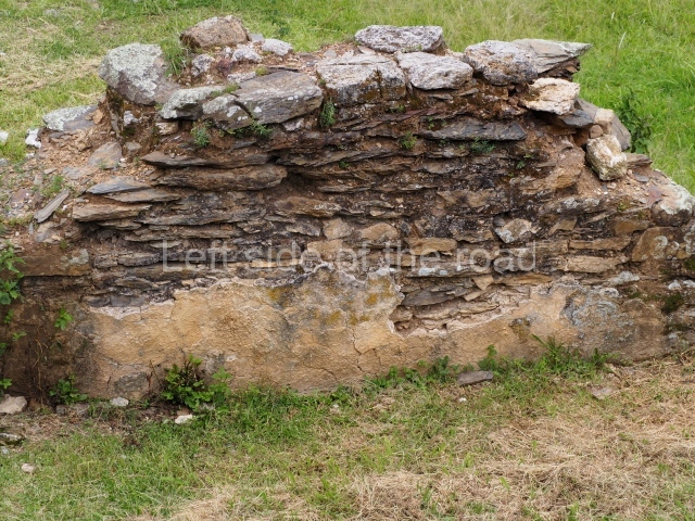
The site is divided into groups designated by the letters A to F, the principal precincts being A, B and C, corresponding to the most important lineages. The other three groups were largely peripheral. Another six groups, smaller in size than the former, are scattered around the edges of the site. In general, the temple structures faced the west, although there are variations, while the platforms supporting the largest houses faced the banks of the ravines. Both the temple structures and the elongated platforms were surmounted by constructions made out of perishable materials. The principal material used at Mixco Viejo was slate or schist for the external face of the walls and a clay and pumice mixture for the filling. The facades of the most important buildings were decorated with stucco and then painted, and in certain cases there must have been murals, although none of these have survived. Even the floors of the ball courts may have been covered by a layer of stucco. The tallest buildings corresponded to the temples – nine in total – some of which stood 8 m high. The most representative were the double temples or twin pyramid platforms, which recall the architectural style of the Mexican plateau during the Postclassic. The elongated platforms that supported the ‘large houses’ can be found in each principal group, forming plazas. These had numerous accesses formed by sloping balustrades with vertical finial blocks. The ball courts were of the closed, I-variety. Wide and extremely long, they were accessed by stairways at both ends. The parallel walls sloped, in the talud style, with vertical finial blocks, and they were lined with benches. The markers, embedded in the top of the walls, were stone carved butts in the shape of a serpent head, with an anthropomorphic head emerging from the open mouth.

Group A

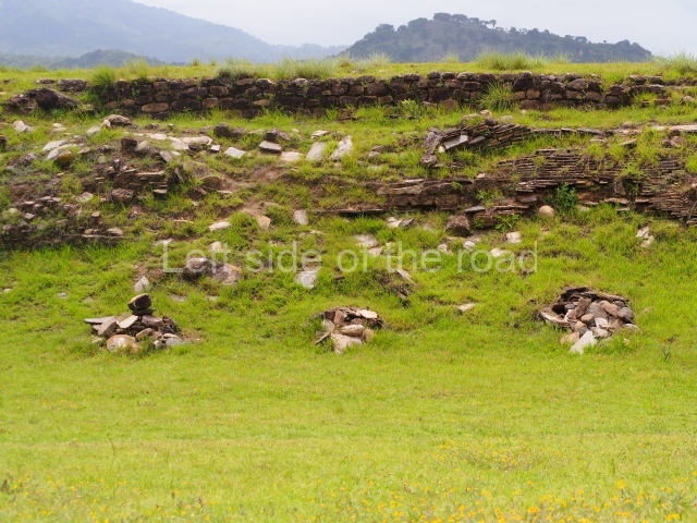
This is situated in the north-eastern section of the site and consists of a series of buildings distributed around two plazas, the most predominant constructions being the elongated platforms. There is a temple platform with a double stairway in the middle of one of the plazas and a sunken ball court in relation to the level of the plaza. One of the plazas contains various small shrines and a series of small platforms for supporting dwellings made of perishable materials.

Group B

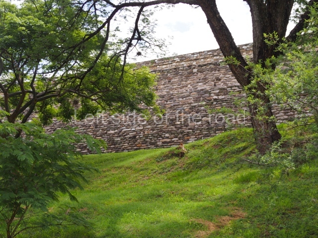
This is situated in the middle of the site on a large plateau surrounded by small ravines. It consists of several structures distributed around a large enclosed plaza which includes twin temples, 6 m high, platforms for palaces or large houses, shrines and another sunken ball court. Larger than the former ball court, this construction is 44.5 m long and 9 m wide between the benches and 17 m at the ends. Except for one platform with four access stairways, the others have only two or a single stairway. Its most outstanding characteristic is a large retaining wall to the south, which reinforced the hill on which the group stands.

Group C

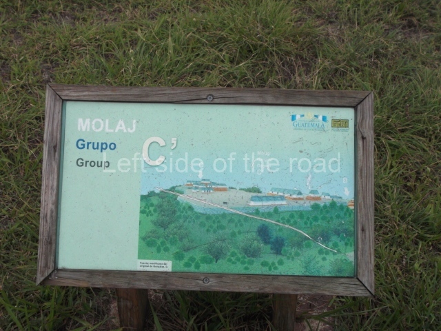
This is situated further west and has an uneven appearance in relation to the former groups. It is divided into two sub-groups of structures which run east-west, the principal constructions being Pyramid Cl, built in several stages and standing 6 m high, and Platform C2. The latter is the largest building at the site, measuring 47×14 m and standing over 4 m high. It is composed of two tiers with several stairways on the top tier. Further to the north, behind this large platform, are various other structures, possibly corresponding to a residential group.

Edgar Carpio

From: ‘The Maya: an architectural and landscape guide’, produced jointly by the Junta de Andulacia and the Universidad Autonoma de Mexico, 2010, pp488-490.

Mixco Viejo

Mixco Viejo

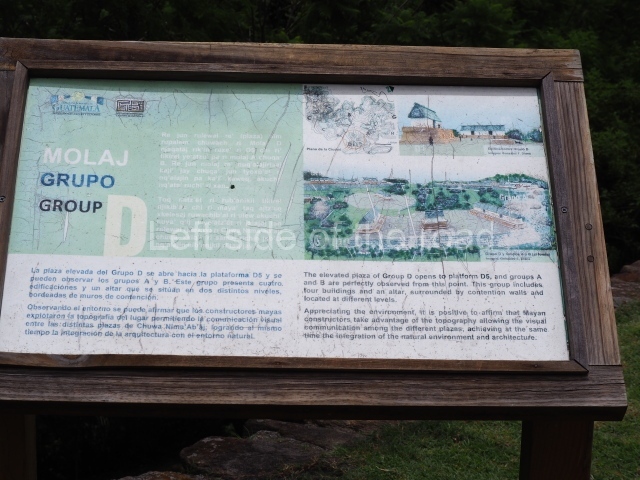
1. Group A; 2. Group B; 3. Group C; 4. Group D; 5. Group E; 6. Ball Court; 7. Double Pyramid.

How to get there;

A bus passes along 1A Avenida at its junction with the PanAmerican Highway in Trébol. This is the starting point for buses to Antigua and other routes heading north. There’s a bus whose destination is Pachalum which passes through at around 09.15 (it might be early or late). Ask the lad who’s there everyday (so he told me) for more information. Q25 each way. There’s a bus which passes the approach road to the ruins returning to Guatemala City at 15.00 and 16.30, more or less.

GPS:

14d 52’ 26” N

90d 39’ 45” W

Entrance:

Q50

More on the Maya

Q’Umarkaj-Gumarcaj – Santa Cruz del Quiche – Guatemala

Q'Umarkaj-Gumarcaj

Q’Umarkaj-Gumarcaj

More on the Maya

Q’Umarkaj-Gumarcaj – Santa Cruz del Quiche

[The description below promises much more than is, in fact, to be seen. Probably, for me, the most under-whelming site so far – hence the few pictures in the slide show. After I left the site I started to think that I must have missed something, but was sure I saw all that was there. Perhaps, I’ll never know.]

Location

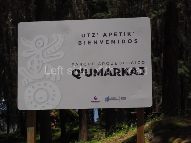
Q’umarkaj, which means ‘old reed huts’, is a pre-Hispanic fortress situated 8 km from the departmental capital of El Quiche, approximately 163 km north-west of Guatemala City. Also known as Utatlan and Guamarcaj, it was the capital of the K’iche’ kingdom, and therefore the political seat of the most powerful entity in the Guatemalan Highlands during the Postclassic. From here, the K’iche’ kings ruled over a large territory encompassing most of the central and western plateau of Guatemala, from the Chixoy Valley to Quetzaltenango and San Marcos between the plateau and the coast, covering an area of over 7,000 sq km. It was founded in AD 1250 by the governor Gucumatz and destroyed due to conflicts with the Spanish conquistadors in 1524.
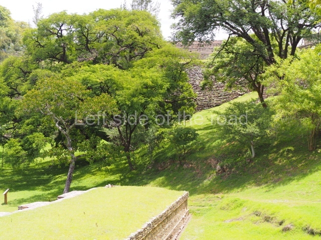
Pre-Hispanic history

According to historical sources, the K’iche’ nation was a crucial target for the Spaniards, who had received news in central Mexico about the power wielded by the K’iche’ governors and their rule over other groups on the Guatemalan plateau. A military expedition led by Pedro de Alvarado departed for the Guatemalan Highlands to subjugate the K’iche’s. En route, the Spaniards struck alliances with opposing groups such as the Caqchikels, who together with Tlaxcaltec warriors helped to defeat the K’iche’s. In keeping with the Postclassic architectural tradition and settlement pattern, the city of Q’umarkaj was established on a hilltop overlooking the surrounding territory and offering defensive advantages. The area enjoys the typically mild climate of the plateau, while the vegetation consists of large trees that provide ample shade, a cool breeze and raw material for the construction of dwellings and handicrafts, as well as fuel for domestic uses. The K’iche’ capital occupied a strategic geographical position, enabling the population to control the fertile lands, valleys, water resources and trading routes, all of which gave this group an enormous advantage over its rivals.

Site description

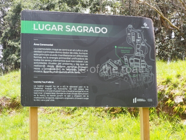
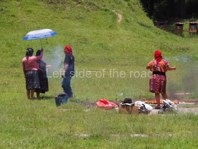
The architectural characteristics of the site include double stairways, twin-temple complexes, elongated structures or large houses in the fashion of palaces with pillars, numerous entrances and interior courtyards, ball-court structures, sloping pyramid platforms, vertical walls or finial blocks and circular structures. The city consists of three building groups connected by causeways. Each group has a plaza, twin temples with a double stairway, and a ball court, as well as low platforms for dwellings and circular structures. These groups must have been organised hierarchically in keeping with the relative importance of the principal K’iche’ lineages. These would appear to have established a complex form of social organisation based on territorial federations called chinamitales, out of which they created three Amak or large federations and established their capital, Q’umarkaj, in one of them. The building materials used were the local adobe, sedimentary rock and igneous rock, covered with stucco for a more elegant finish and greater durability. The fired clay technique was also used to create the solid core of some of the structures, while mud, pebbles and sand, duly compacted, were used as fillings. A network of artificial caves for ceremonial purposes has been found beneath the site. These continued to be used in the same way today, like the ruins of certain structures such as the Temple of Tohil, where modern day Maya priests perform rituals.

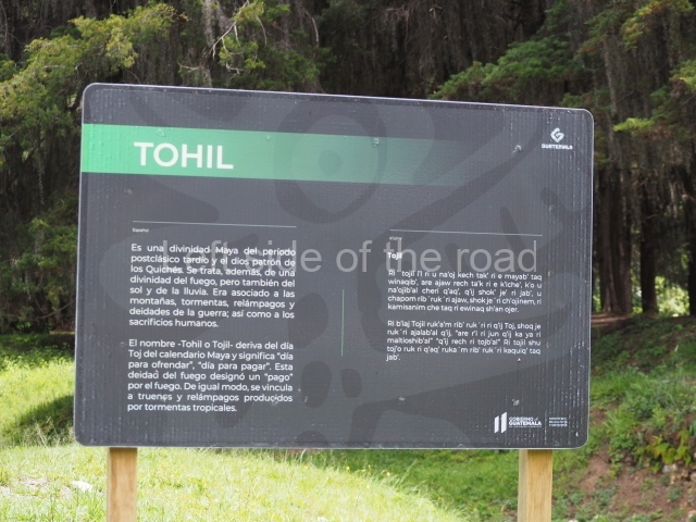
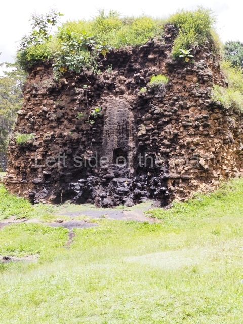
Despite minimal restoration and research, various structures illustrate the architectural characteristics of the site. The temple dedicated to Tohil in the middle of the Central Plaza is one of the most important constructions at this Postclassic city. It is a pyramidal structure composed of a sloping wall, which constitutes the balustrades flanking the stairway, surmounted by a vertical wall or finial block. A small stairway once led to the upper platform and temple. This pyramid was one of the highest at the site.

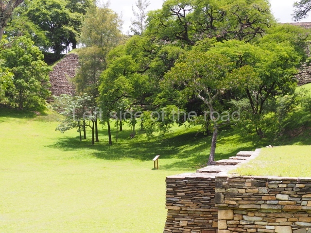
The other important buildings at the site are the Temple of Awilix, the Temple of Q’uq’umatz, the ball court in the Central Plaza, the Temple of Jac aw itz, the Tamub Temple and the Kawek Palace. The Temple of Awilix, which stands opposite the Temple of Tojil, consisted of two main tiers, the first wide and the second narrower. The top tier had two stairways, divided by a finial block, leading to a temple with a roof comb. Two standard bearers were found flanking the central stairway. Meanwhile, the Ball Court was of the enclosed, I-plan variety with a single and relatively small access stairway situated at one of the ends. Another stairway led to the top of each wall where there must have been a type of roofed box for authorities supported by pillars. The parallel walls were sloped and lined with benches. The marker at the top of the court must have been of the ring variety. From the Central Plaza, the remainder of the site stretches out in all four directions, the north section being the most distant. The south, east and west sections contain various residential buildings and a few temples at what has been called the ‘ritual-council palatial’ complex. Nowadays, all of the visible large structures are situated in and around the Central Plaza and adopt the form of mounds. None of them have been restored, although a few have been consolidated. Further away from the plaza are a few smaller structures in a similar state of preservation.

Situated at the entrance to Q’umarkaj is a small site museum (closed in summer 2023) containing pieces recovered during the excavations, a scale model and informative panels offering details about the history of the site and general aspects relating to the K’iche’ culture. There are also a few modern objects made locally, such as the traditional brightly-coloured fabrics that are produced in the nearby town of Chichicastenango, which is famous for its textile market and still contains numerous elements that defined the K’iche’ culture. The most famous of these is the church of Santo Tomas Chichicastenango, where the Popol Vuh, the sacred book of the K’iche’s, was copied.

Edgar Carpio

From: ‘The Maya: an architectural and landscape guide’, produced jointly by the Junta de Andulacia and the Universidad Autonoma de Mexico, 2010, pp492-493

How to get there;

A combi, with Ruinas scrawled on the windscreen, leaves from the square in front of the church on a regular basis during the day. Q5. It’s route ends at the bottom of the approach road to the site.

Entrance;

Q30
More on the Maya

Chiantla Viejo – Guatemala

Chiantla Viejo - Guatemala

Chiantla Viejo – Guatemala

More on the Maya

Chiantla Viejo – Guatemala

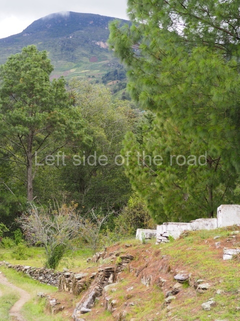
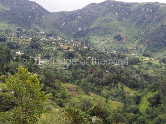
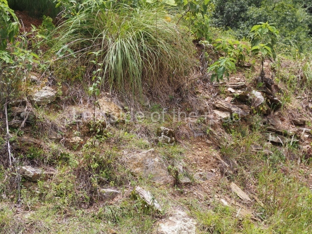
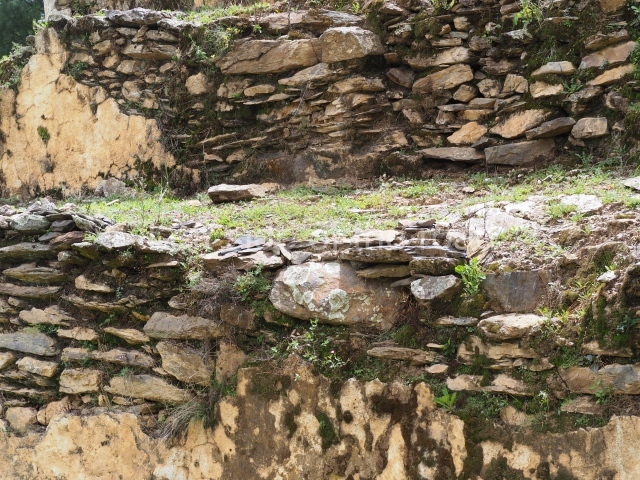
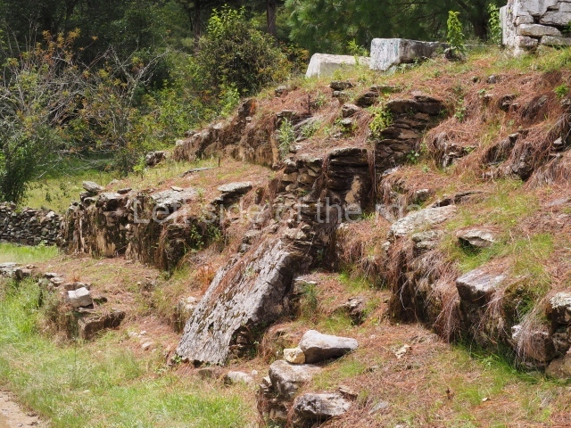
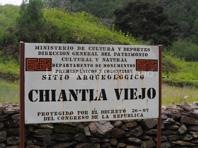
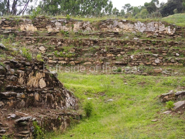
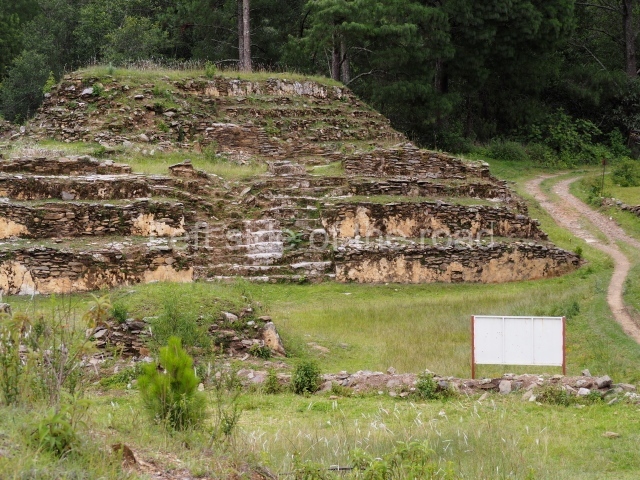
Chiantla Viejo is a site, in the mountains, about 5.5km from the town of Chiantla. (This town has an interesting main square and church with a very ornate, painted ceiling.)

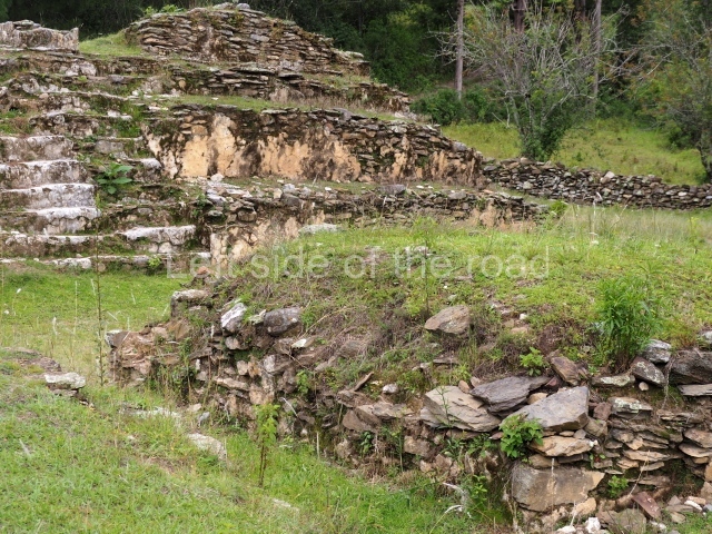
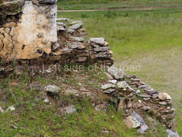
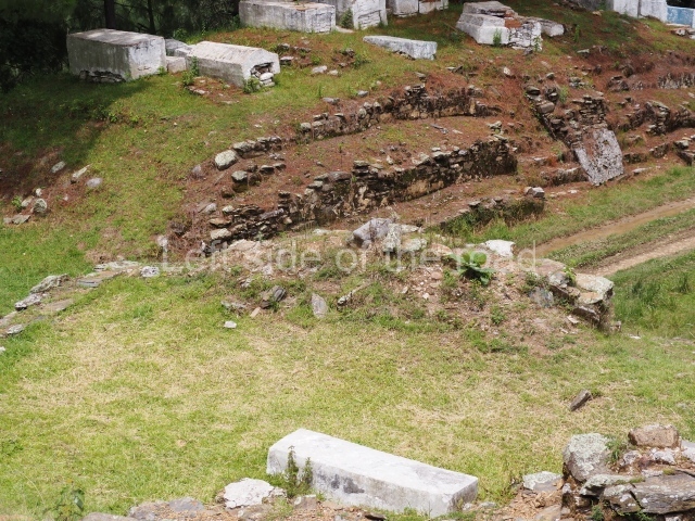
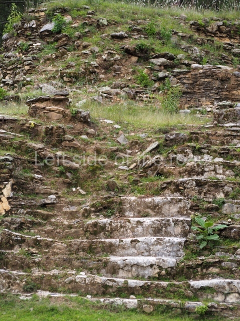
It’s a small site and there doesn’t appear to have been any work carried out there. If you had already seen any of the other major sites in Guatemala or Mexico it will be slightly underwhelming but it gives an idea of what most of the Mayan sites throughout Central America would have been like.

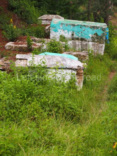
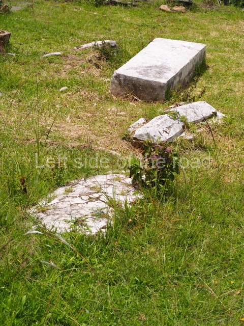
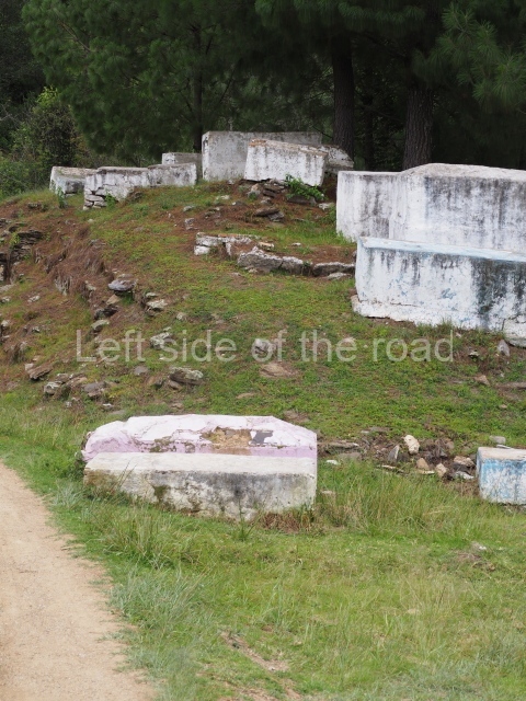
It might seem like sacrilege but the area itself has been used, for quite some time, as the local cemetery, concrete tombs of the more recent past sitting on top of the Mayan mounds.

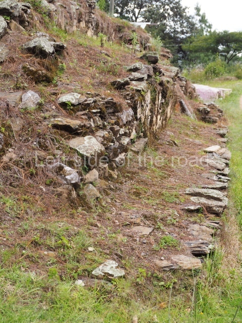
In relation to the ‘debate’ about the concrete covering of all the structures at the Zaculeu site near to Huehuetenango. There are definitely signs at the lower leverls (and on some of the steps) that the structures did have a facing of stucco. However, to take one example and then extrapolate for all the buildings at other sites and from top to bottom, I think, it making too much of an assumption.

Getting there;

From Huehuetenango. Take a bus to Chiantla from Huehuetenango which leaves from near the junction of Calle 1 and Aveninda 3, Q4

If you don’t want to walk (which would take you about 1 hour and a half) then look for colectivos that leave from the centre of town heading towards El Pino Alto. Coming back just flag down anything that looks like it takes passengers, Q5.

Entrance;

Free

More on the Maya