Ceibal
More on the Maya
Ceibal – Guatemala
Location
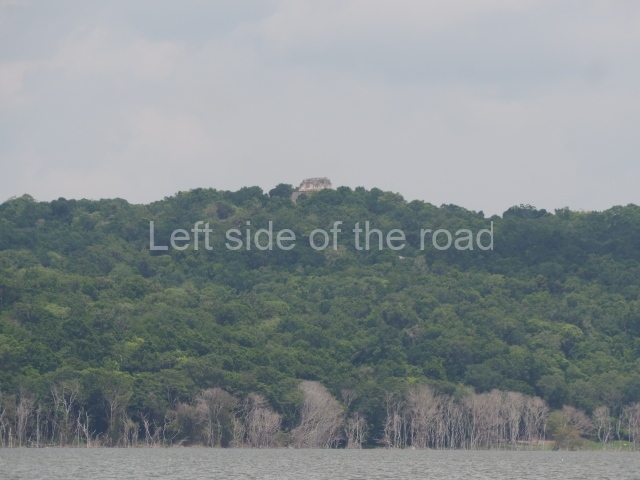
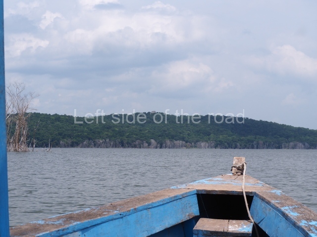
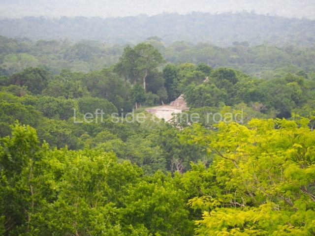
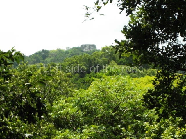
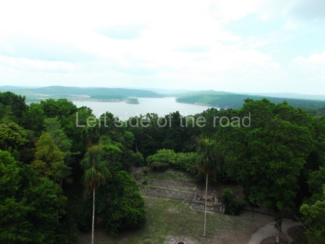
This is the largest site in the River Pasion region in terms of size and number of structures. It is situated precisely at the point where the river bends sharply from the north to the east, finally pouring into the River Usumacinta. The site is situated on a platform of small limestone hills, considerably higher than the level of the river. You can reach Ceibal (Seibal) by National Road 5 from Sayaxche. By motor boat, it takes an hour to sail up the 12.4 km of the River Pasion between Sayaxche and the archaeological site.
Timeline and pre-Hispanic history
Seibal, like Altar de Sacrificios, had a long sequence of occupation commencing at the beginning of the Middle Preclassic. The Real phase, equivalent to the Xe phase at Altar, spanned the same period (900-600 BC). Material from this period was found in Group A, associated with stucco floors and small platforms. Again like Altar de Sacrificios, the materials reveal a farming economy and there are abundant metates and spindle whorls. The remains of terrestrial and aquatic wildlife were also found. Ceramics from the Escoba phase (600-300 BC) appeared in different places at the site, indicating an increase in population. The remains of a small platform and platforms with rooms made of perishable materials probably also date from this period. The first structures that would subsequently form the foundations of Group A date from this time. It is possible to identify this gradual increase of population from the Cantutse period (300 BC-AD 300) and estimate a population ranging between 5,000 and 10,000 inhabitants. Most of the constructions in Group A belong to this phase.
Groups C and D also show evidence of constructions dating from this period, as well as numerous residential structures. The Junco phase (AD 300-500) is poorly represented in terms of constructions. The floors of the Group A plazas were remodelled, the population shrank mid various parts of the site were almost certainly Abandoned. This period was also marked by a hiatus in inscription activity at Seibal and other sites in the region, lasting approximately 50 years (AD 600-650).
Seibal returned to its former prosperity in the Late Classic, during the Tepejilote phase (AD 600-700). This was possibly due to the arrival of a wave of inhabitants from the River Pasion region because there were significant similarities in the material culture at all the sites in the Pasion basin at this time. The Tepejilote reoccupied the domestic mounds built during the Cantutse phase and erected additional platforms.
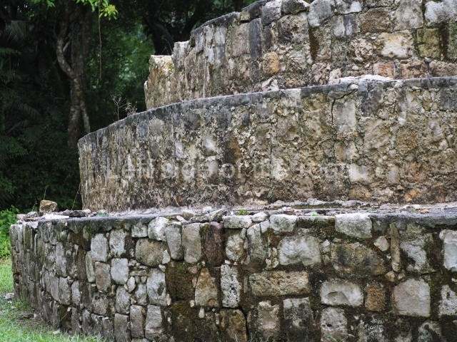
Group A became the ritual precinct for the community following the renovation and extension of the main structures, and a considerable number of stelae and monuments were sculpted. Group D, also extended and renovated during this phase, may well have been the residence of the ruling family. Although the material evidence indicates that Seibal was a constantly growing community, the epigraphy suggests that it played a less important role on the Petexbatun political scene at the time. The capture and sacrifice in AD 735 of the governor of Seibal, Yich’ak Balam, by Ruler 3 at Dos Pilas are recorded on the Hieroglyphic Stairway at Seibal, and these events ushered in a period of dependence on Dos Pilas that lasted approximately 60 years. After the fall of Dos Pilas and Aguateca, Seibal emerged as the dominant polity in Petexbatun. The occupation during the Classic Terminal, the Bayal phase (AD 830-930), was characterised by the introduction of fine paste ceramics in grey and orange tones, and by a significant change in the iconographic style of the stelae. This change was interpreted some time ago as evidence of the invasion of the region by groups from the Gulf of Mexico. Thanks to a new translation of the hieroglyphic texts, we now know that this time was a period of great political change, caused by the conquest of Seibal by the ruler of Ucanal, Wat’ul Chatel, in AD 830. This governor built a radial monument (Structure A-3) in the centre of the South Plaza in Group A and modified various nearby buildings. He also dramatically increased the number of settlements near the core area. Most of the structures in Group C date from this phase, including the Ball Court. The sudden population increase at Seibal may have resulted from the abandonment of other sites in Petexbatun, such as Dos Pilas and Aguateca. However, this prosperity was short-lived, towards AD 928 the core area of the site was Abandoned, although radiocarbon dates suggest sporadic, scant occupation until AD 1000 or 1050.
Site description
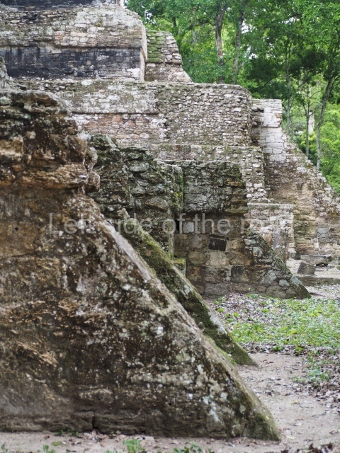
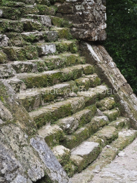
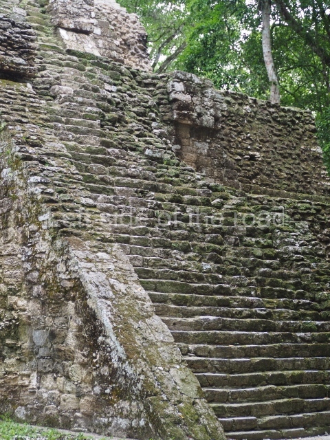
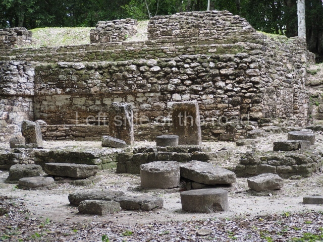
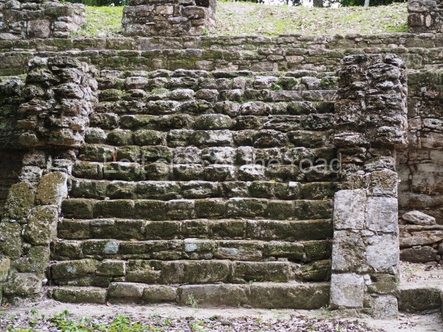
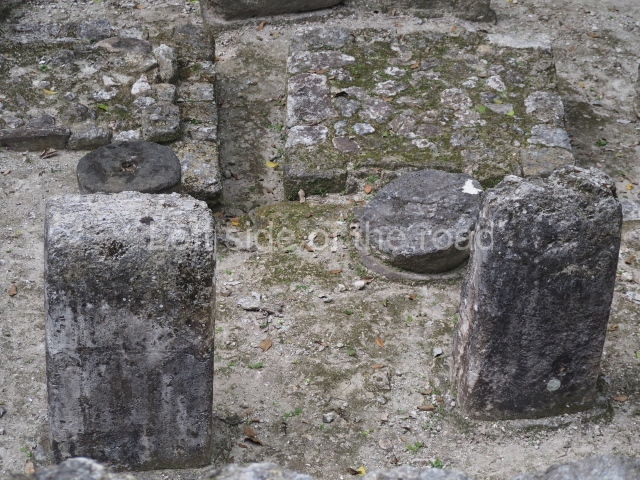
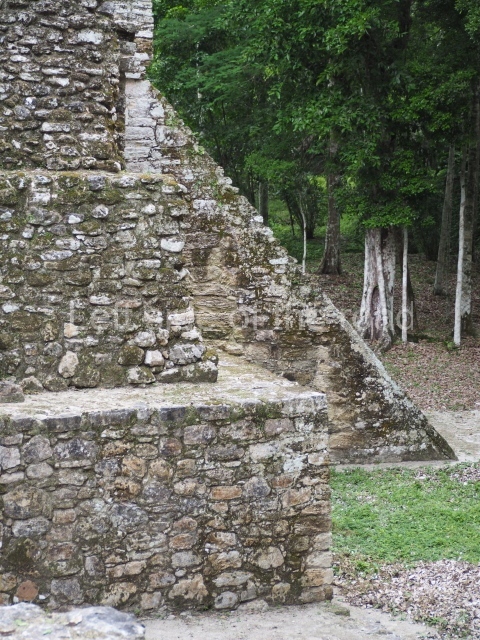
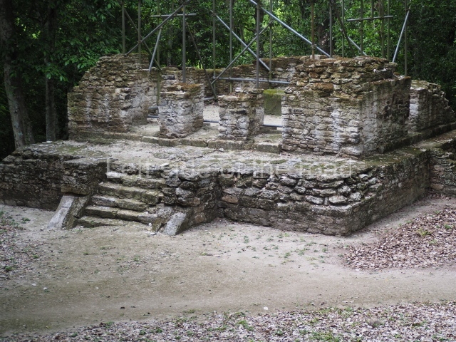
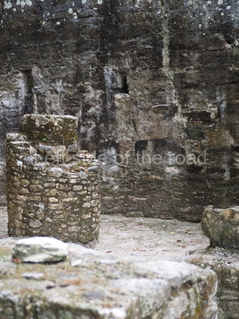
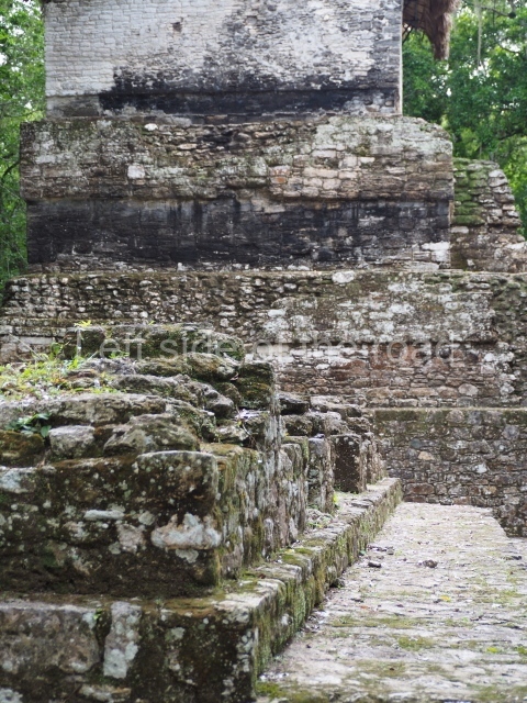
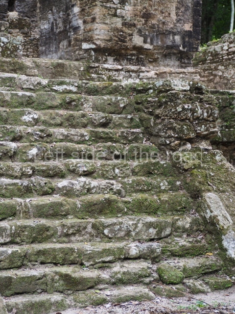
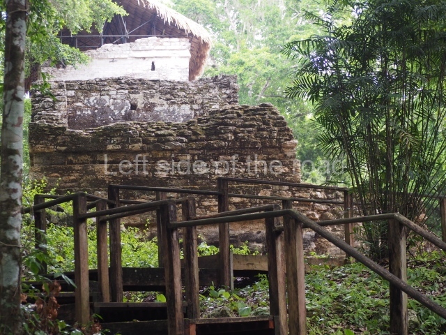
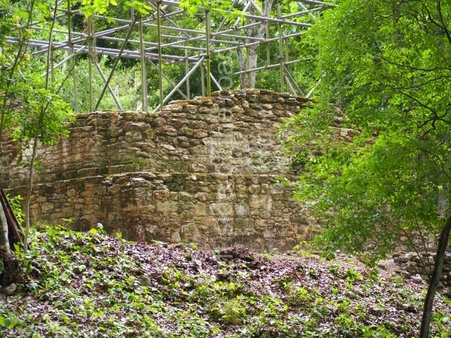
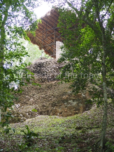
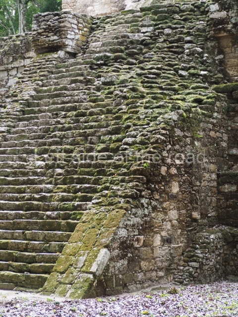
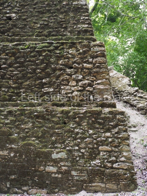
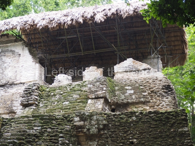
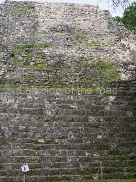
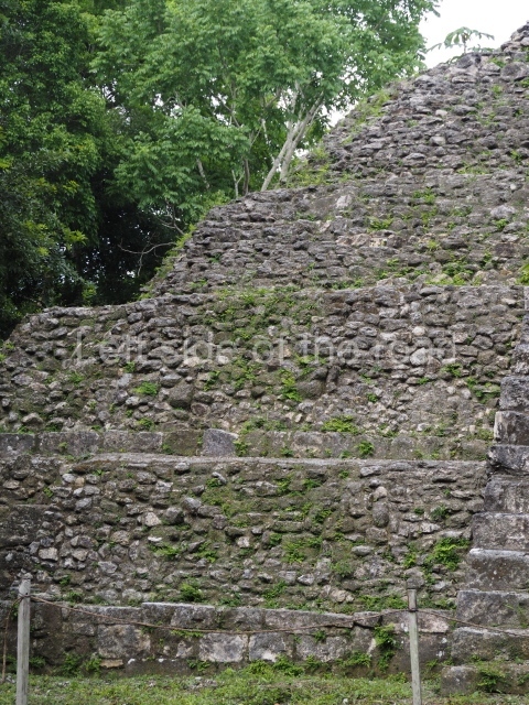
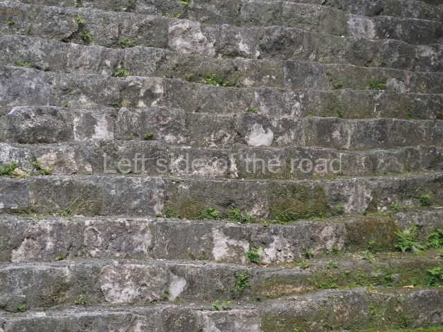
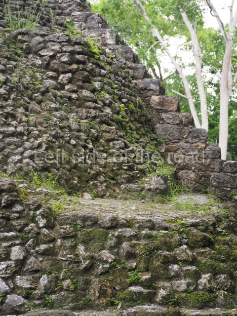
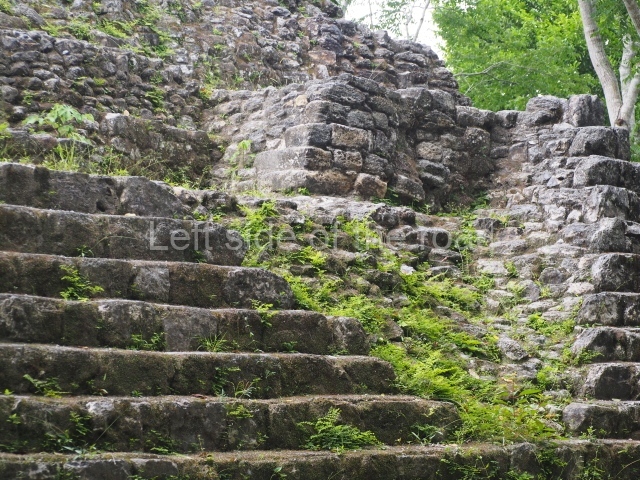
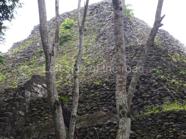
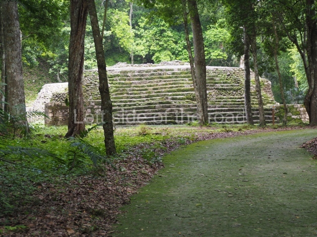
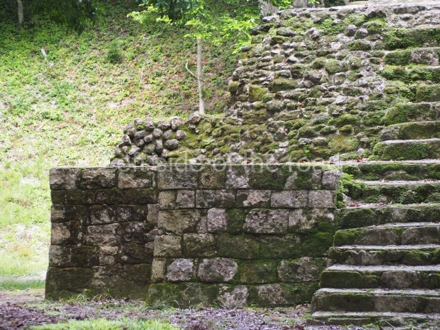
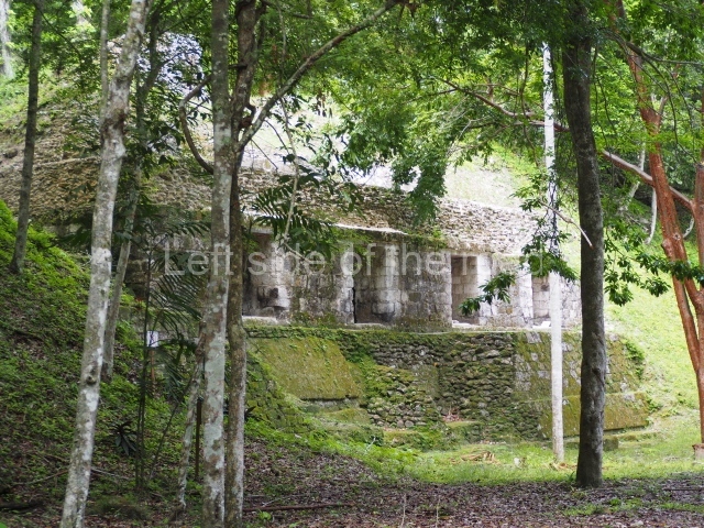
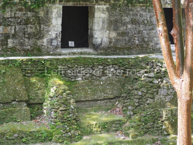
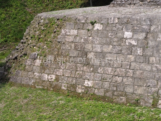
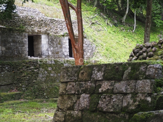
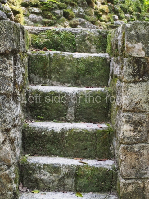
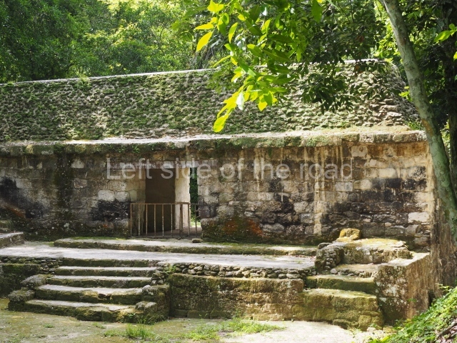
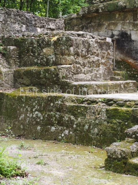
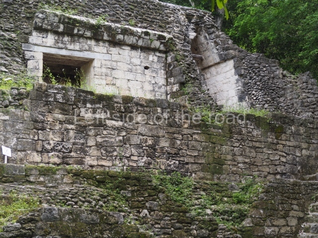
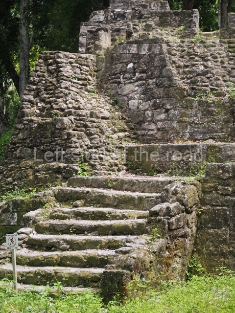
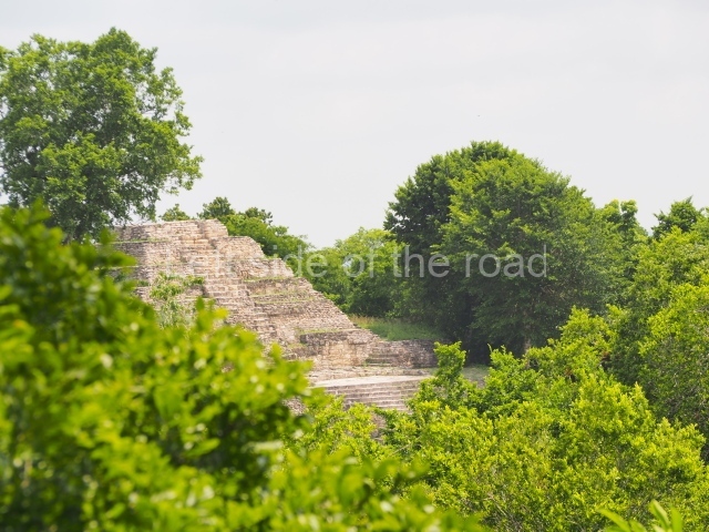
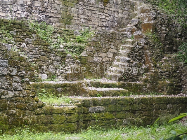
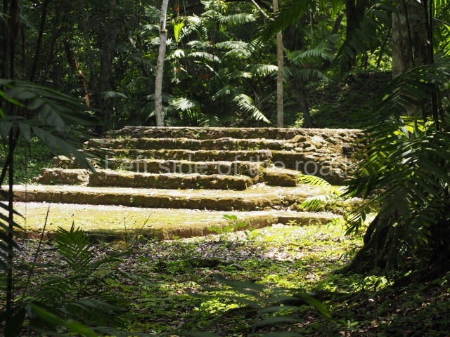
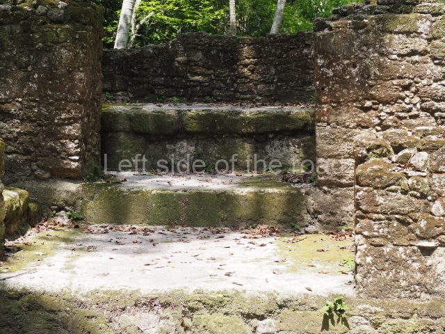
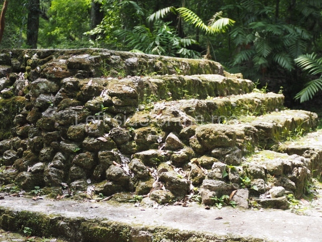
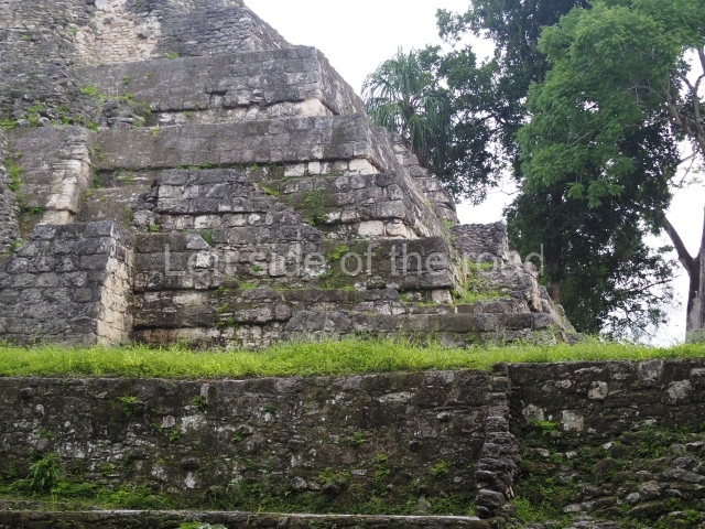
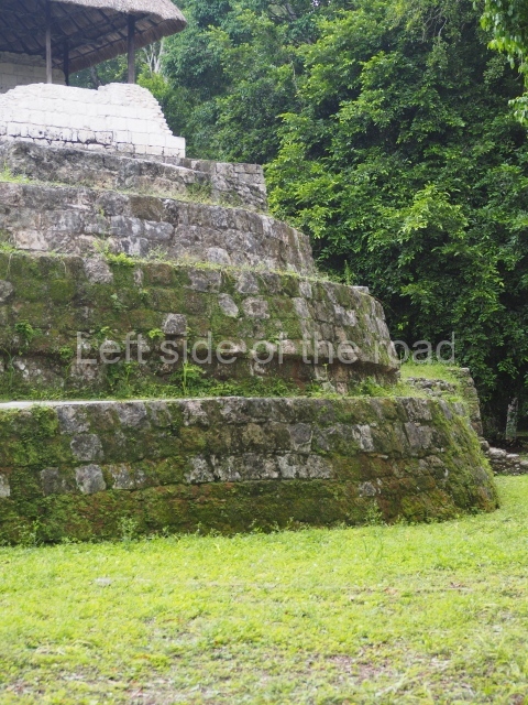
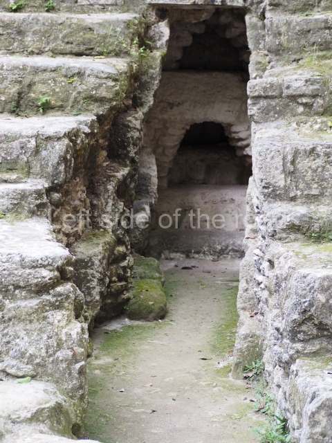
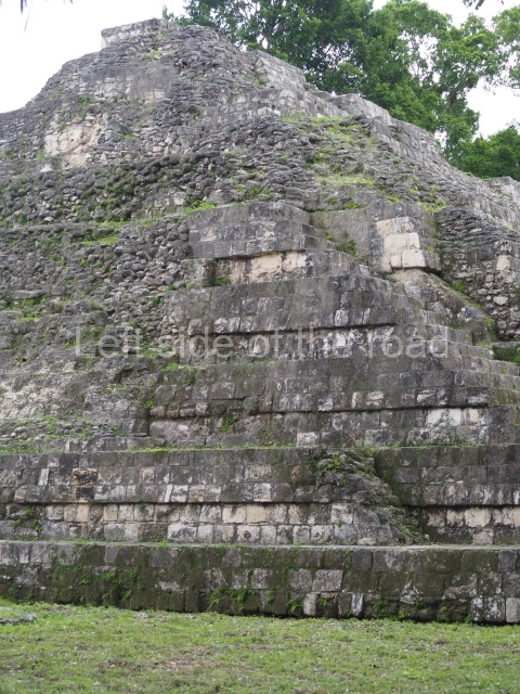
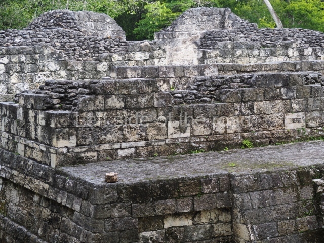
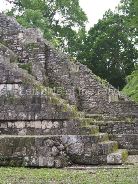
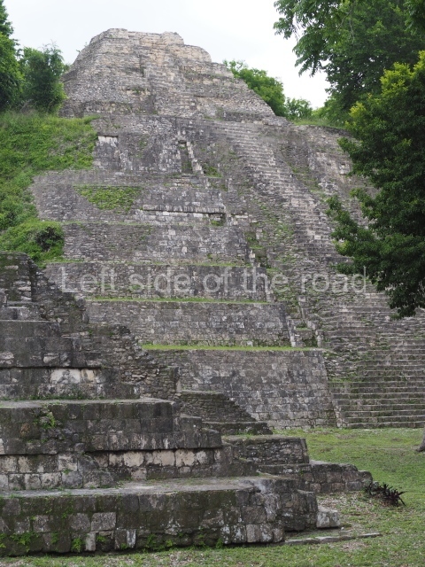
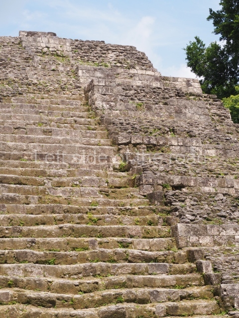
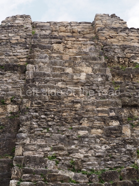
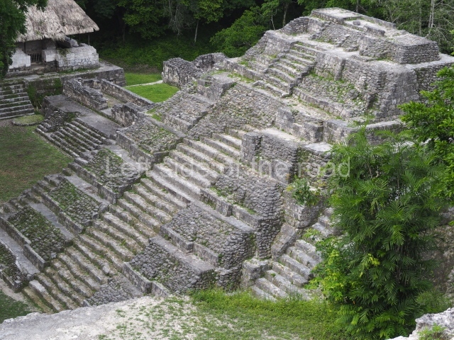
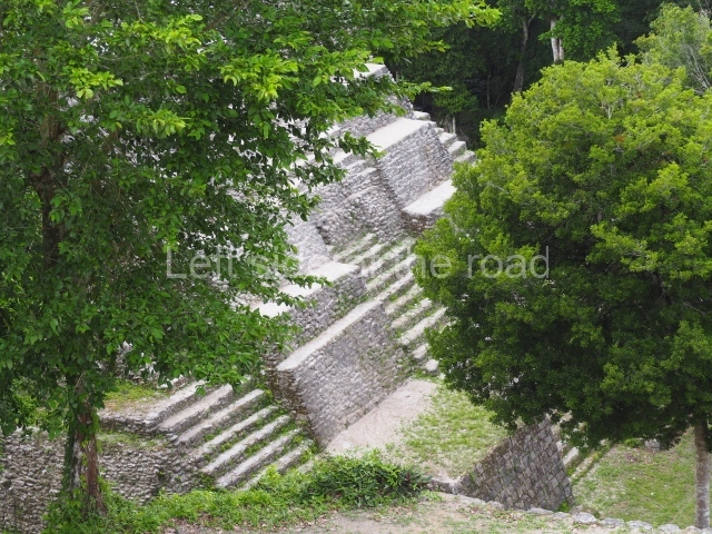
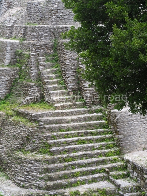
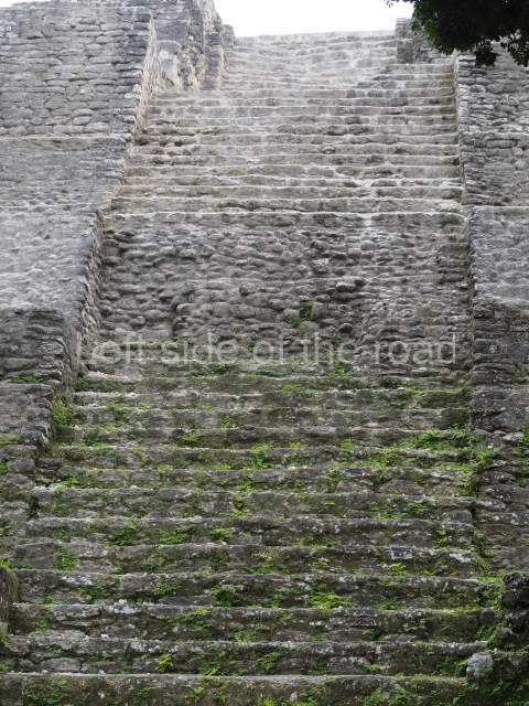
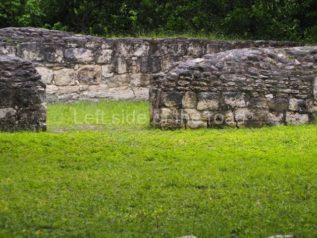
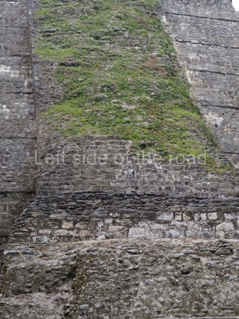
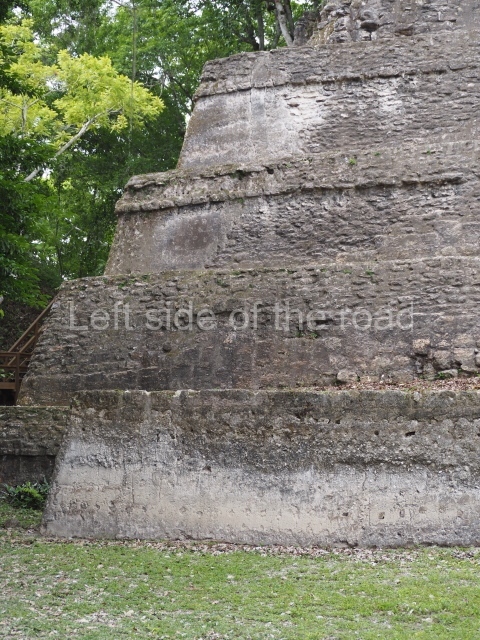
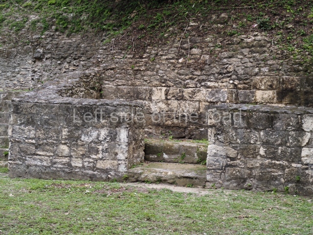
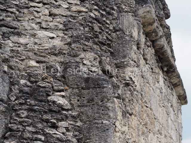
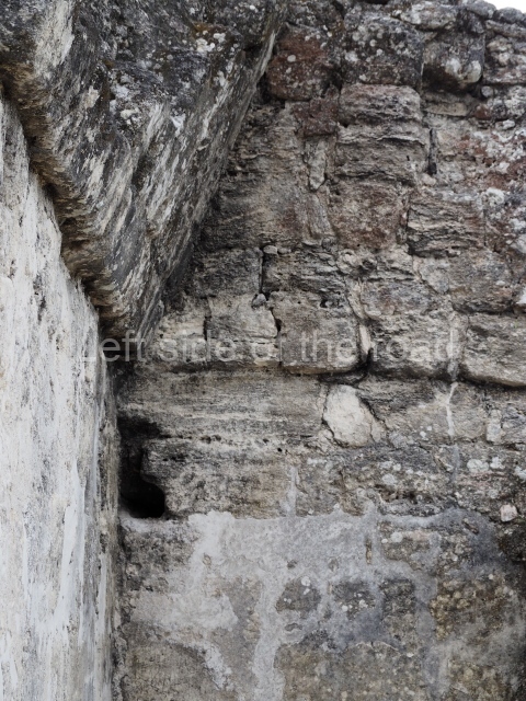
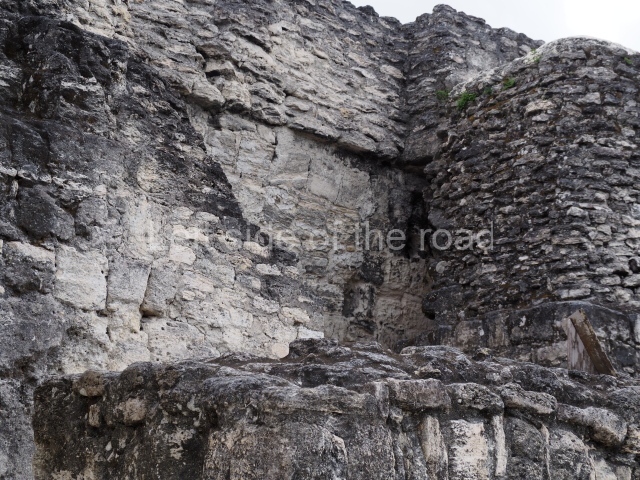
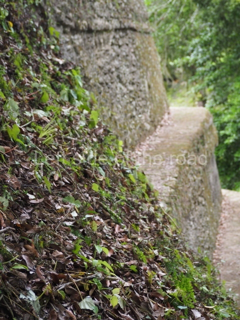
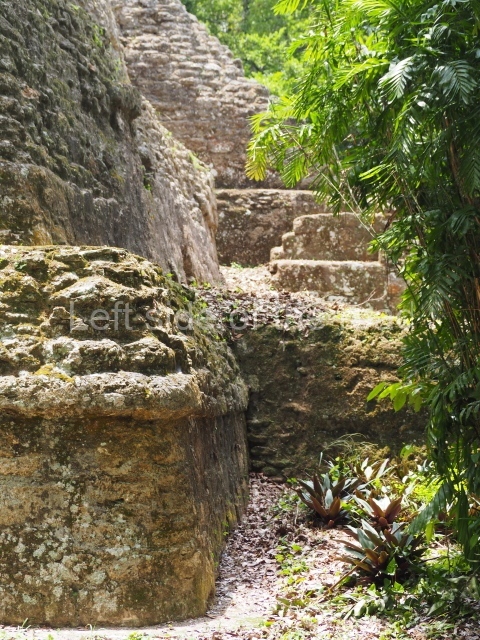
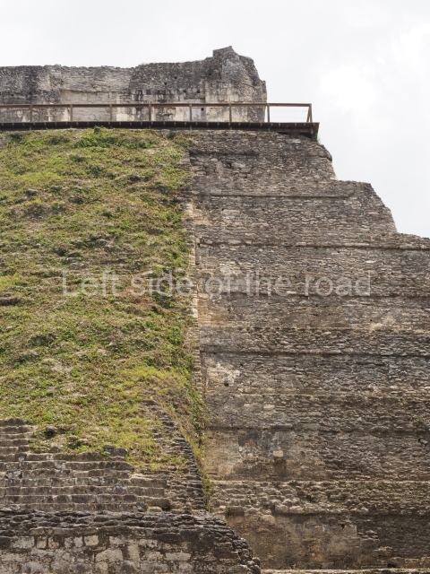
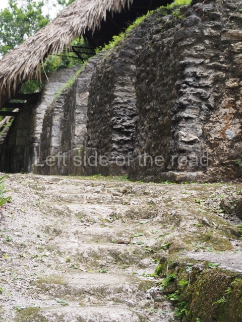
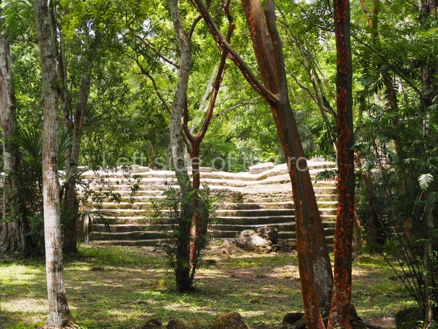
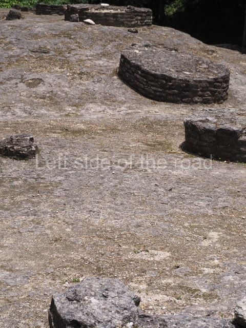
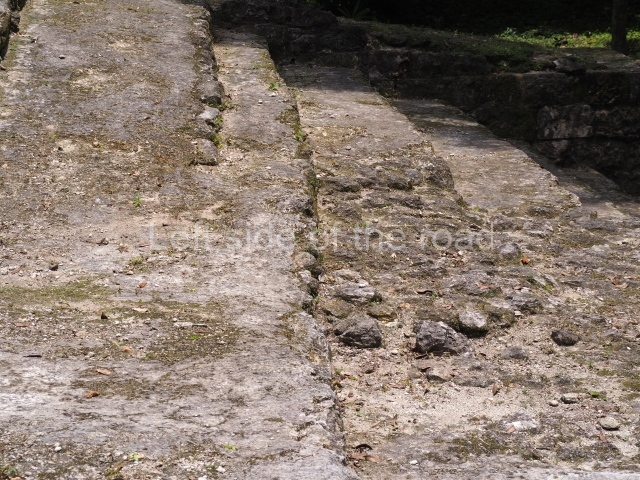
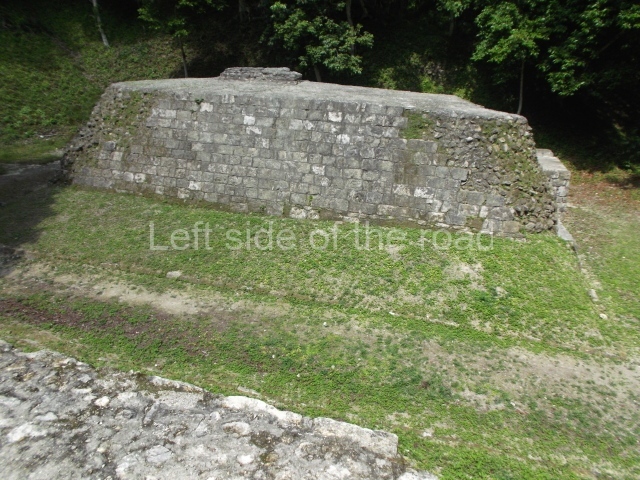
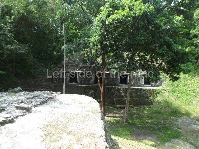
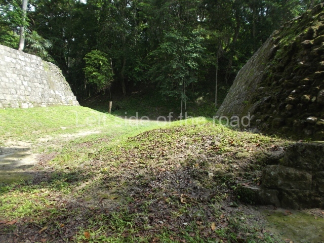
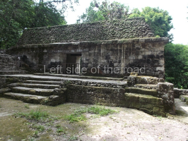
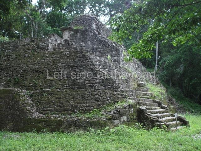
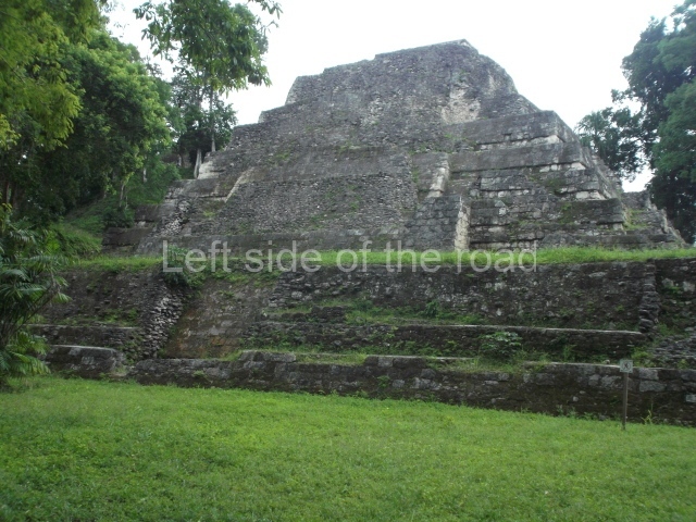
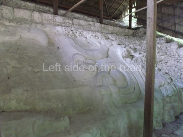
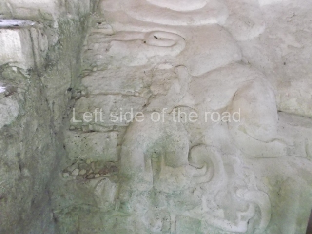
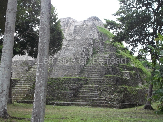
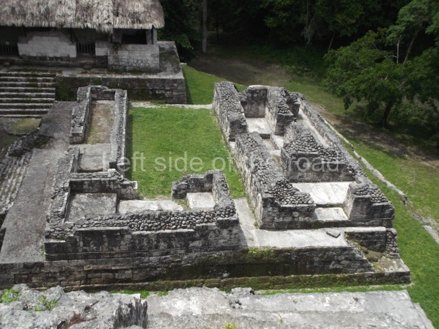
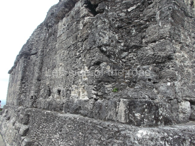
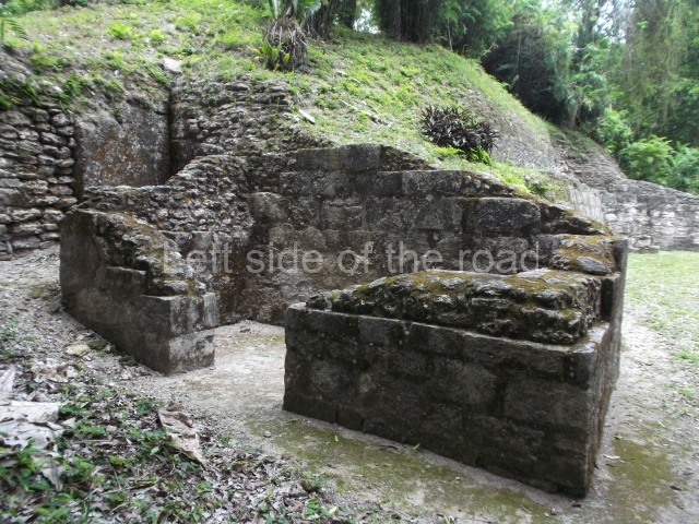
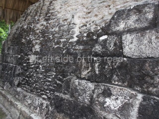
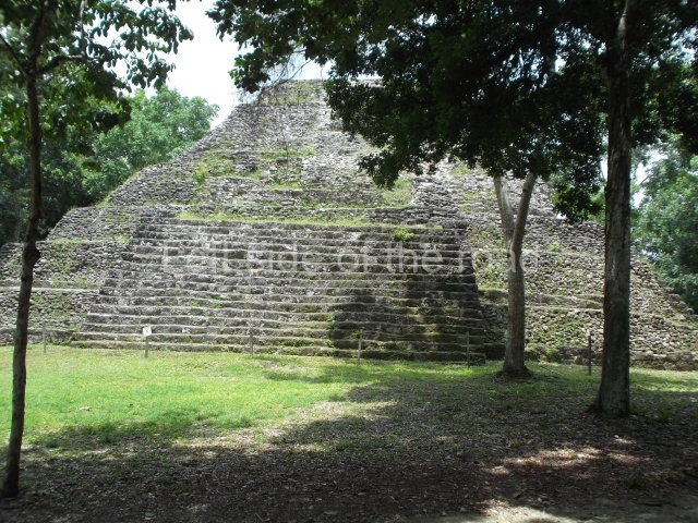
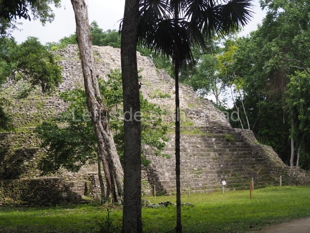
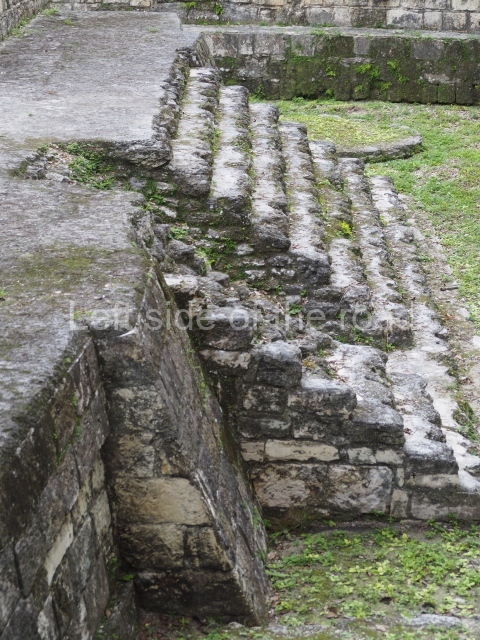
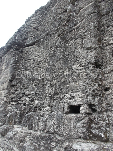
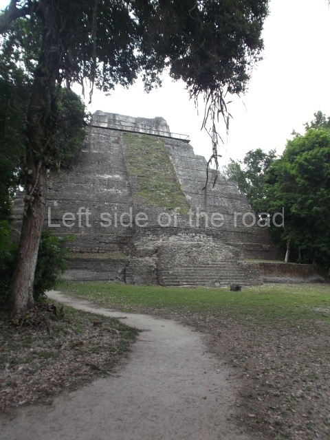
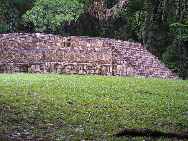
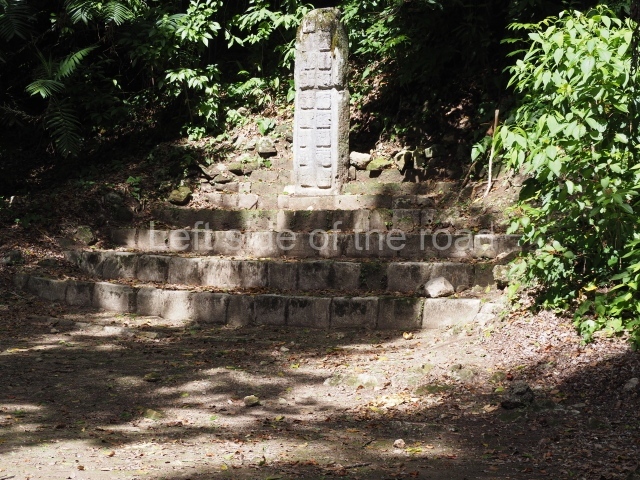
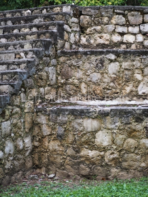
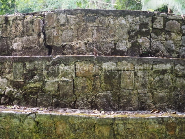
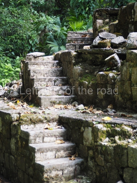
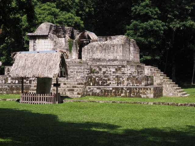
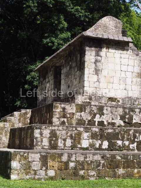
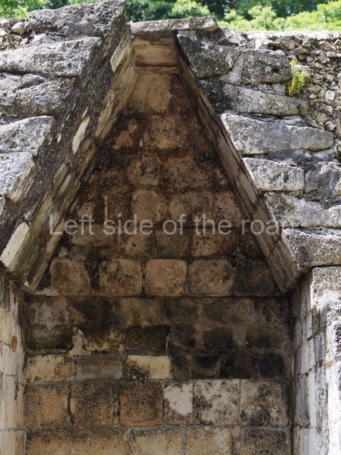
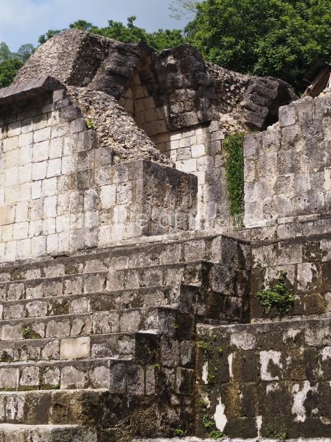
The central part of Seibal is divided into two major architectural groups, A and D, each situated on a hilltop and connected by causeways I and III. Mid-way between the two groups is Causeway II, which leads to a strange circular structure. The settlements concentrated around Causeway II are known as Group C. The other settlements are scattered within a radius of several kilometres from this central area, Group B, thus designated by Morley, is a small courtyard group with a single stela, situated 2 km from the main group. group a is larger, with an approximate surface area of 400 x 200 m, and is composed of several buildings Around two large plazas and a smaller one. The North Plaza is the smallest space and a small passageway between two mounds leads to a stairway which in turn provides access to Causeway IV. This runs parallel to Causeway I for some 80 m and culminates at a small terrace next to Stela 23 and a small sculpted altar, which in the pre-Hispanic period was an important place of worship. The central plaza of Group A is dominated by structures A-14, A-10 and A-24. The first of these is an elongated mound, probably a palatial structure, which is accessed by a stairway opposite the plaza. The first steps of the stairway display sculpted panels. The second structure is a platform that once supported a building made of perishable materials; this was accessed via a narrow stairway leading to a small terrace with three stelae: 5 and 7, with 6 in the middle. Structure A-24 stands 18 m tall and resembles A-10. It is surmounted by the remains of a building (Structure A-3), the most outstanding element in the plaza. This was probably the builders’ intention. Only 6 m high, its walls are covered by modelled stucco and bright colours. Its central location is reinforced by four magnificently sculpted stelae situated at the centre of the four access stairways, one on each side. Situated east of Structure A-3 is a stairway that descends from the platform on which the great plaza lies and lead to Causeway I, which culminates at a large rectangular platform where stelae 14 and 15 are located. Causeway III begins at this point, in an area with 40 structures of varying sizes, including a ball court. This area, which is separate from Group A, is known as Group C. Situated some 400 m from this point, Causeway II cuts through the slope of a small river, veers south for 100 m and culminates at a rectangular platform with a circular platform on which stands a jaguar-shaped rectangular altar in front of the access stairway. Situated some 100 m away, on the other side of a ravine, is group D, built during the Preclassic, abandoned at the beginning of the Classic and reoccupied during the Late Classic. Much smaller than Group A, it consists of several structures arranged around five plazas.
Monuments
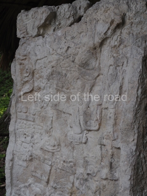
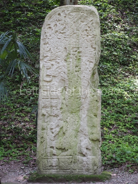
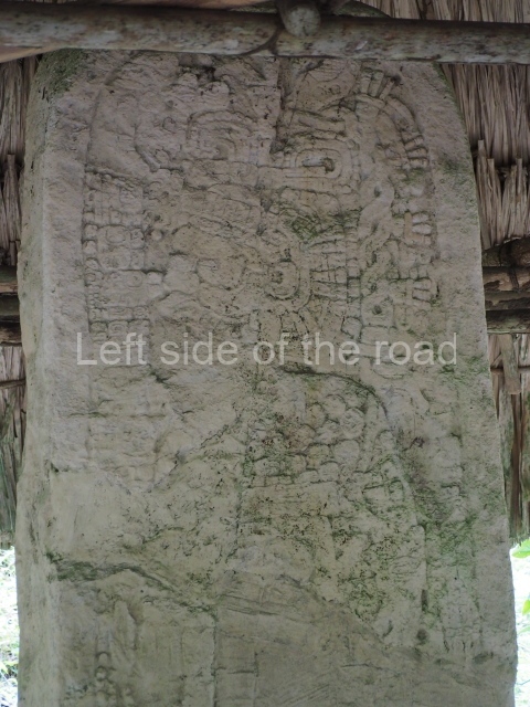
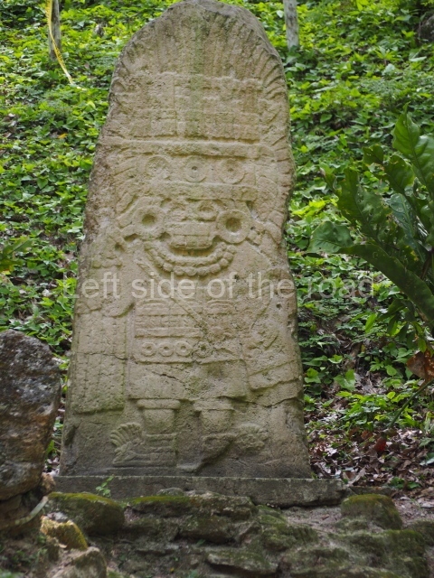
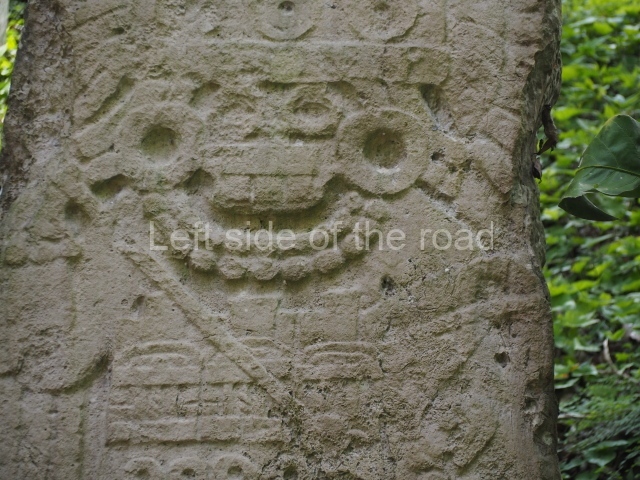
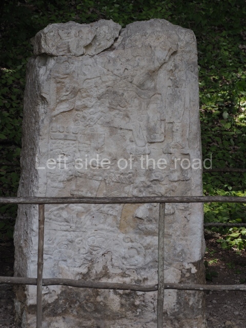
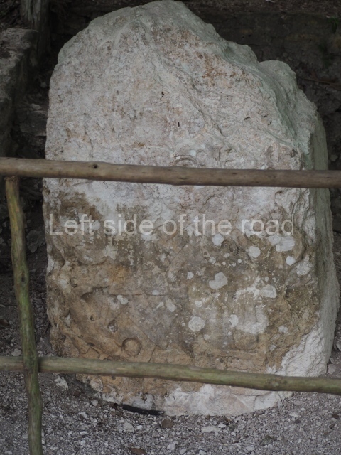
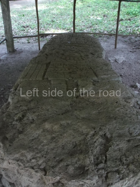
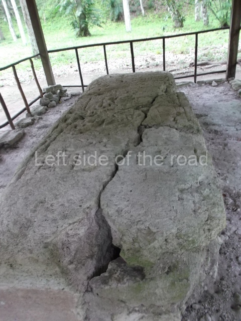
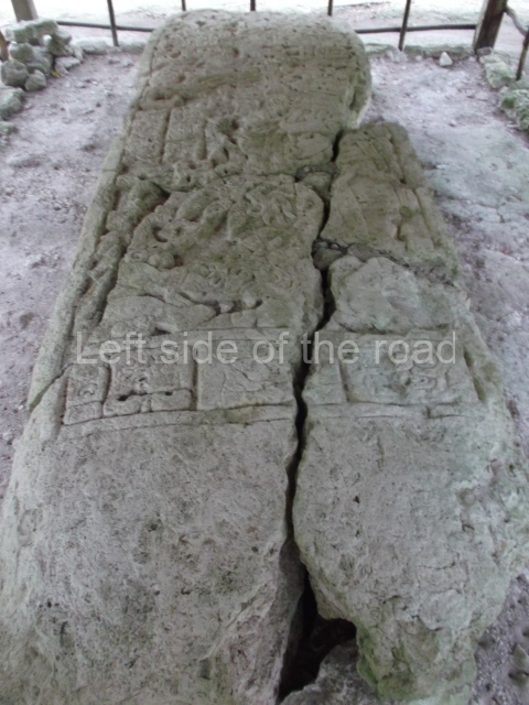
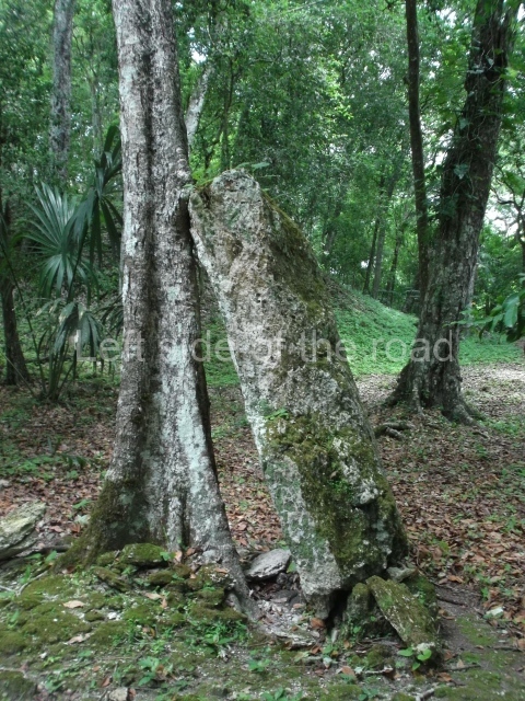
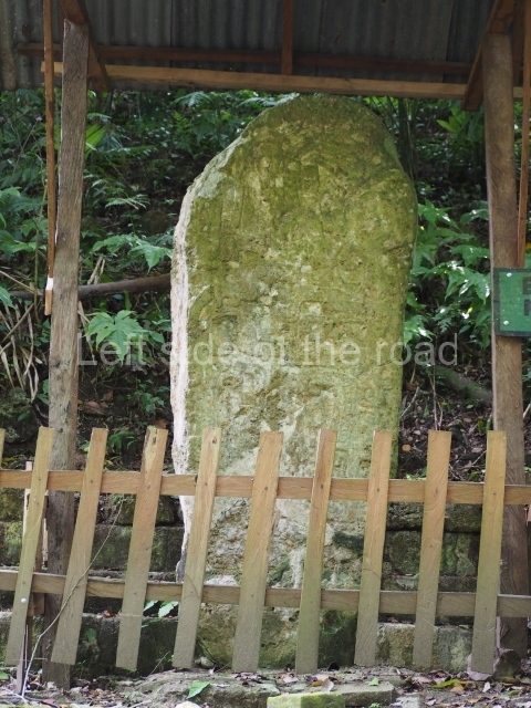
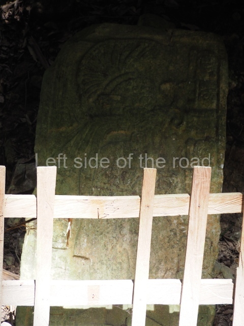
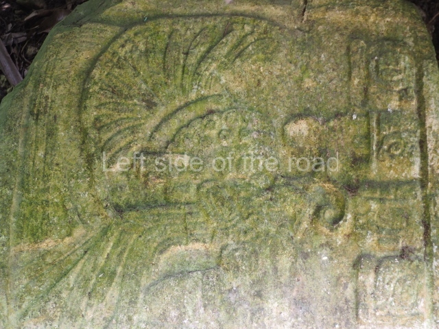
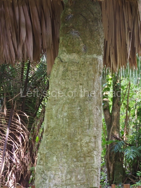
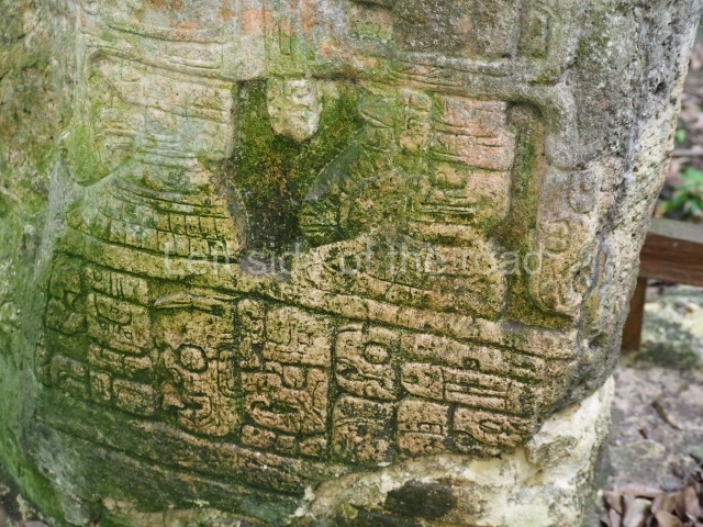
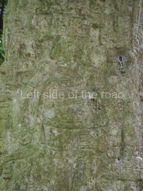
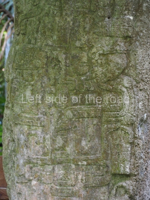
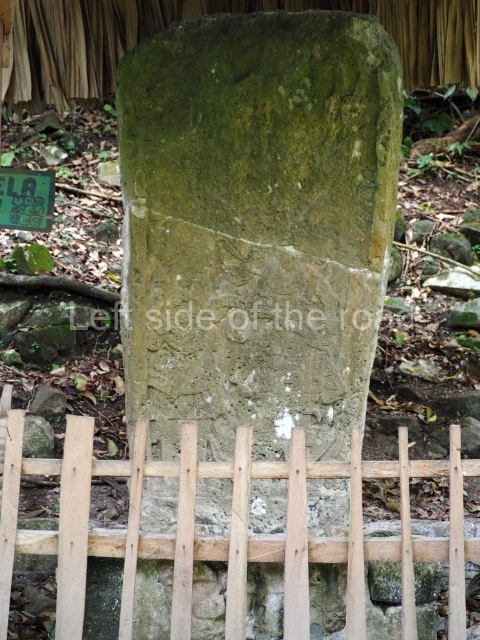
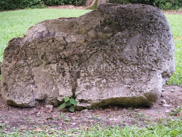
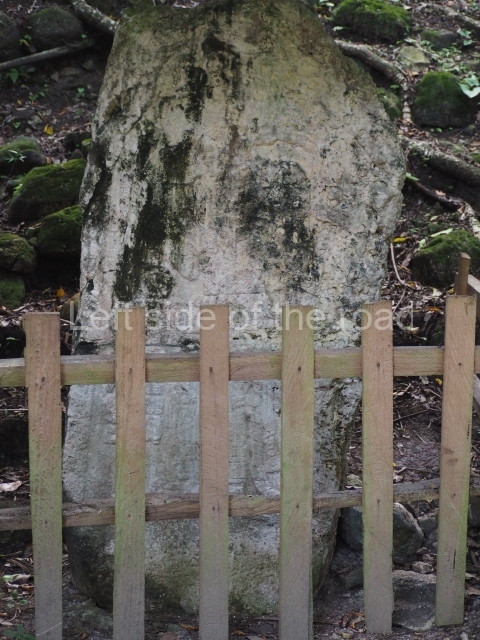
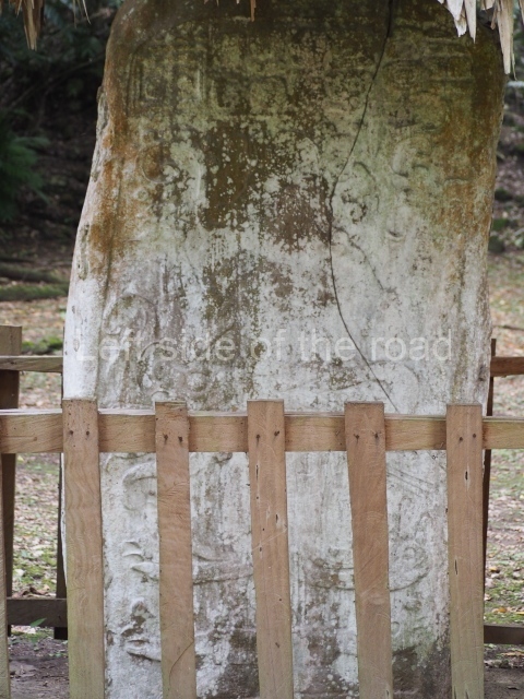
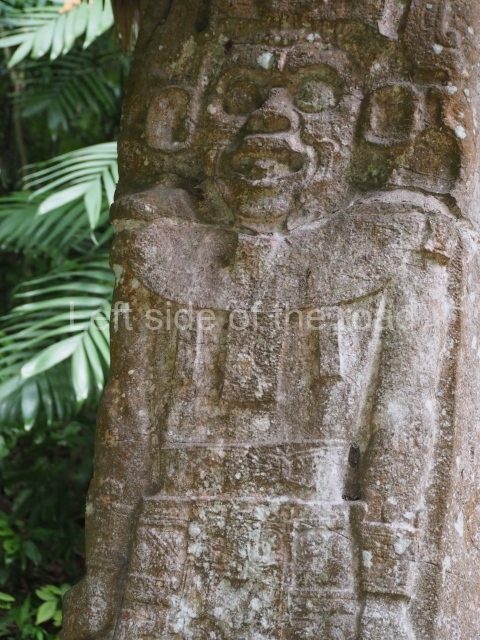
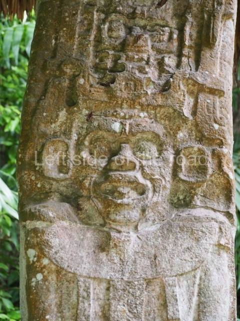
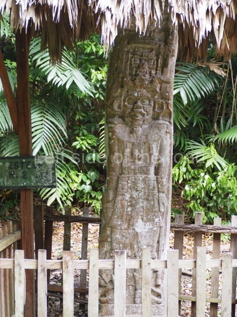
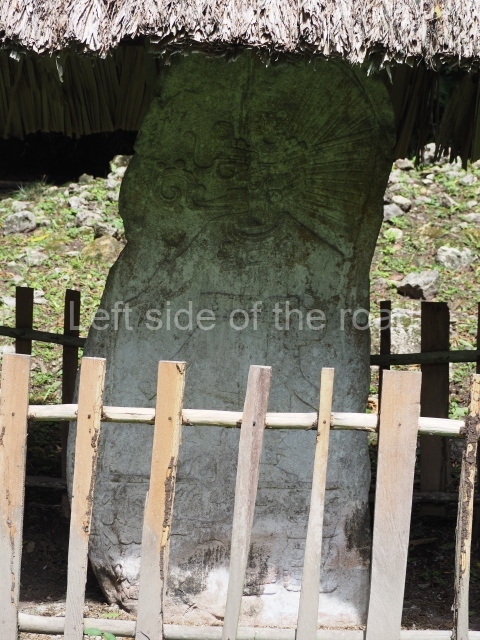
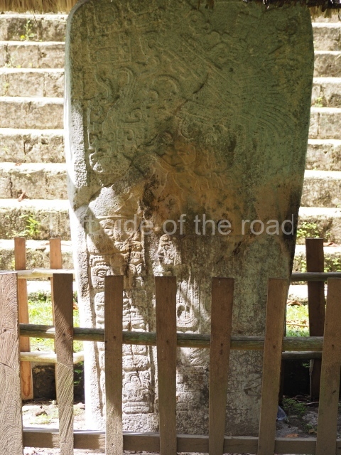
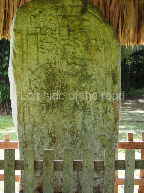
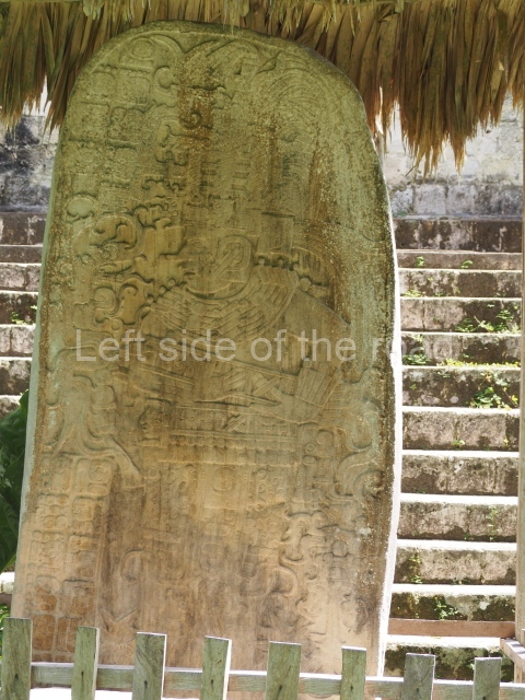
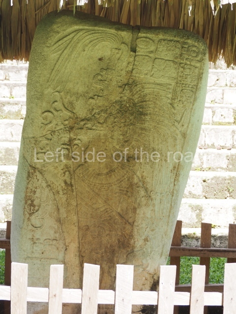
Seibal is one of the most important sites in terms of the sheer number of monuments: 31 sculpted monuments, 56 stelae, 22 altars and 2 Ball Courts from the Late Classic. The chief monuments are as follows: stela l. Found by Maler in the late 19th century lying face down near the north side of the South Plaza in Group A. It was erected in AD 869, at the end of its history. Like many of the stelae at this site, the iconographic elements are unusual in the lowlands. For example, the position of the figure returns to an Early Classic pattern: it shows the governor with his feet one behind the other, unlike the representations from this period which showed the main figures with their feet pointing outwards. The sculptural technique employed is also coarser and more rudimentary than the technique just 20 years earlier.
Stela 3. This was first found by the person who discovered the site, Guillermo Arthes, and then by Maler, lying in the middle of a row of six stelae opposite Structure A-6. It was removed from the site during the Peabody Museum Project and is now on display at the National Museum of Archaeology and Ethnology in Guatemala City. One of the most important sculptural works at Seibal, it recalls the style employed in the Campeche region and western Yucatan. The division of the space into small independent fields indicates, like Stela 1, the deliberate adoption of an unusual style for the lowlands. The small upper and lower panels show a group of seated figures deep in conversation. The central figure is simply dressed. It is just possible to make out a date in the 52-year cycle or may, consistent with the dates on other sculptures at the site. The scene depicted probably took place around AD 870.
Stela 6. This is composed entirely of text and represents historical events from AD 771. There is mention of a ruler of Aguateca and an individual from the ruling family at Yaxchilan. Nowadays fragmented, the lower section was found on a small altar by Ian Graham in 1967, who has suggested that it may have been moved from its original place, barely 30 m away, towards the end of the pre-Hispanic period.
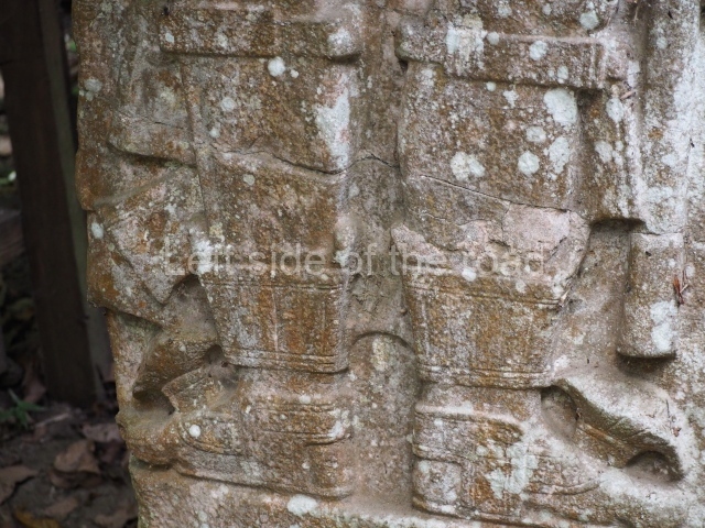
Stela 8. This was found lying face down on the ground by Arthes. It was re-erected opposite Structure A-3 and is one of four stela originally erected in AD 849 opposite each side of a platform containing the said temple, which must have been built during this same period. Elaborately dressed, the figure displays ‘jaguar-paw’ mittens and slippers.
Stela 9. The five monuments associated with Temple A-3 (stelae 8, 9, 10, 11 and 21) display fantasy elements for which there is very little precedent in the lowlands sculptural repertoire during the Classic period. The facial elements of this figure are closer to the style of the Classic period, compared with the individuals on the other stelae associated with Temple A-3. The monument was erected in AD 849.
Stela 10. This was found by Arthes in the 19th century, in its original location opposite the north stairway of Structure A-3. It shows the governor Aj Bolon Haabt’al probably officially inaugurating the said temple in AD 849. The garments are unusual for representations of Maya rulers in the Classic period, and the figure is also shown with a moustache – an element that has not been found in other representations from the same period. He holds a ceremonial bar with two heads in the shape of mythological creatures. The text mentions four cities from the period – Seibal, Calakmul, Tikal and Motul de San Jose – which sent individuals to attend the events narrated on the stela.
Stela 11. This was found ‘in situ’ by Arthes opposite the east access stairway on Structure A-3. It commemorates the reinstatement of Seibal as the capital of an independent unit in AD 830, after the fall of the regional capital Dos Pilas. The new governor of Seibal, Aj B’olon Haab’tal, appears under the ‘supervision’ of the governor of the nearby Ucanal: Chan Ek’ Hopet. In 849 this governor dedicated Structure A-3 and the five associated stelae – one inside the building and the other opposite the access stairways. Aj Bol’on Haabt’al appears to have reigned until 889, the last date recorded at the site. We do not know if he had a successor. The archaeology indicates that the revival of Seibal was a short-lived phenomenon, as by around AD 900 the site had been practically abandoned.
Stela 13. This was found by Barnum Brown in 1948, during the exploration works conducted by the Peabody Museum; it was lying with the carved side face up in the middle of a large terrace east of Structure A-24. It was put back in its original position during the Seibal (Peabody Museum) Project in 1967.
Stela 14. Found in 1961, lying on its side and fragmented, at the intersection of causeways I, II and III; it regained its original position during the Seibal Project.
Stela 19. Found by Ian Graham in 1964, face down and approximately 8 m west of the access stairway to Structure A-5. It was put back in this place during the Seibal Project.
From: ‘The Maya: an architectural and landscape guide’, produced jointly by the Junta de Andulacia and the Universidad Autonoma de Mexico, 2010, pp194-197
Getting there:
From Sayaxche; Doing this independently is relatively easy although if you are one person it can add up expensive. There’s no point taking the river route – unless you desperately want to be on the water. This will cost around Q600 – but that will for the boat and it would take a small group. Going by road I was quoted Q300. Again that will be for up to 3 or 4 people. You might be able to negotiate a cheaper price from one of the many taxis that park at the main square.
GPS:
16d 30′ 25″ N
90d 03′ 33″ W
Entrance:
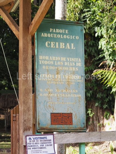
Q60
More on the Maya


