Lenin and October Revolution Monument in the Kaluga Square – Moscow

Lenin and October Revolution

Lenin and October Revolution

More on the USSR

Lenin and October Revolution Monument in the Kaluga Square – Moscow

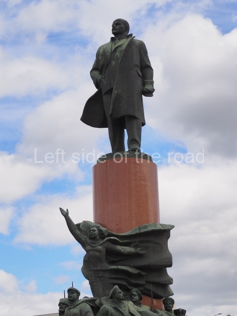
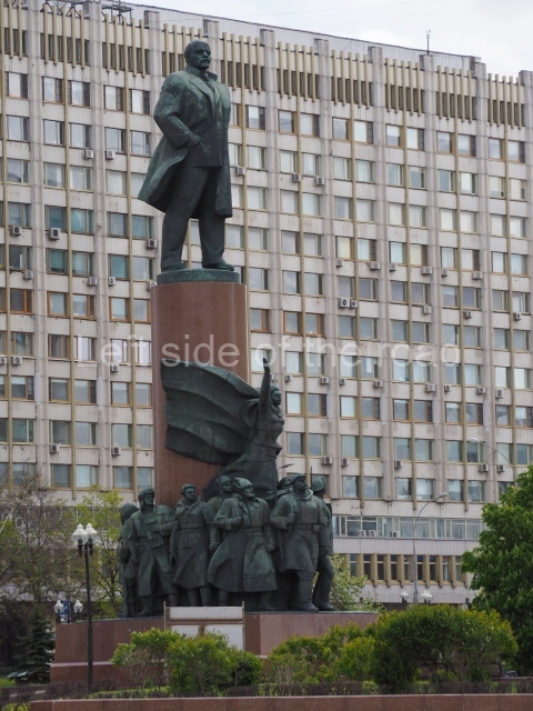
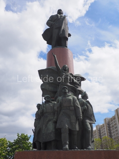
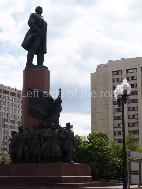
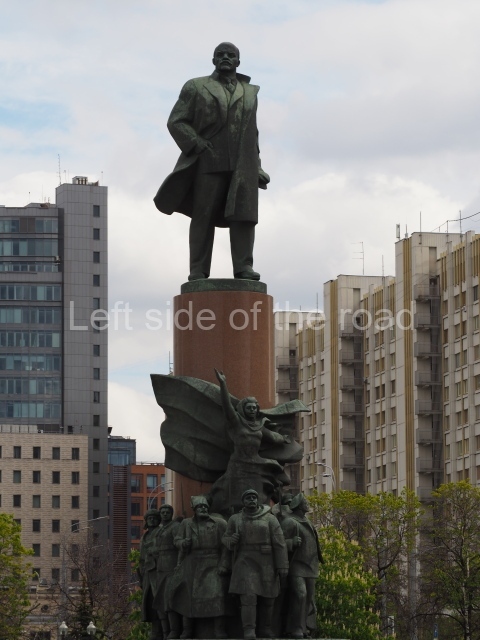
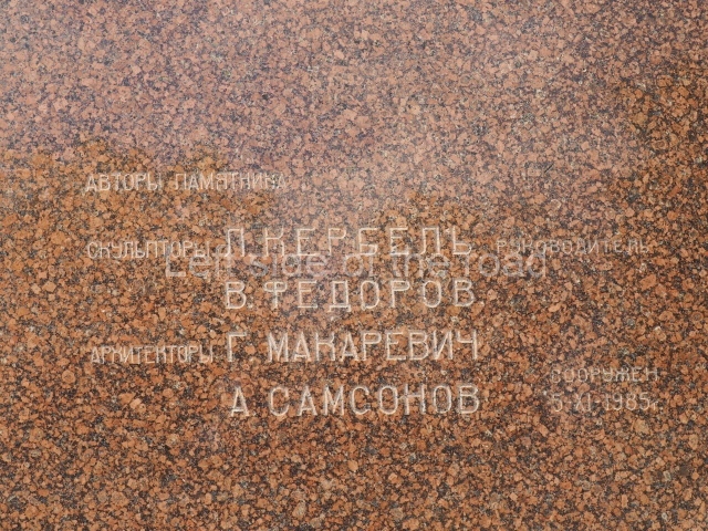
The Monument to Lenin on Kaluga Square (Russian: Памятник Ленину на Калужской площади) was established in 1985 in Moscow in the centre of Kaluga Square (then October Square). The authors of the monument are the sculptors L. E. Kerbel, V. A. Fedorov and the architects G. V. Makarevich and B. A. Samsonov. It is the largest monument to Lenin in Moscow.

Lenin and October Revolution - 03

Lenin and October Revolution – 03

The bronze sculpture of V. I. Lenin was made at the Leningrad factory ‘Monument sculpture’. It is an original copy of the monument to Lenin in Birobidzhan, established in 1978. A stone monolithic pedestal column weighing 360 tons, after the initial treatment, was delivered in place by a trailer that had 128 wheels. The monument was inaugurated on 5 November 1985 by the General Secretary of the CPSU Central Committee, Mikhail Gorbachev.

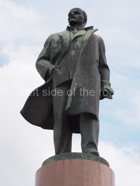
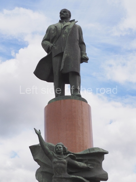
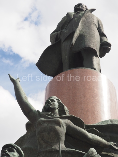
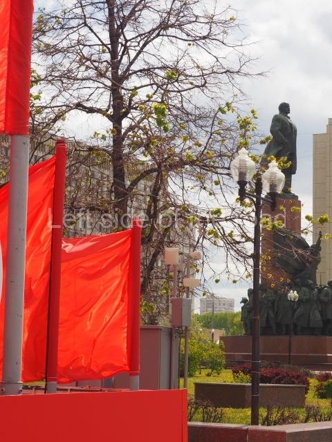
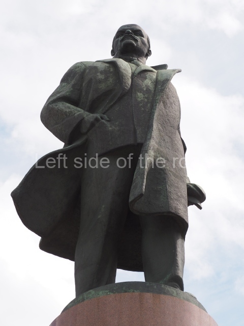
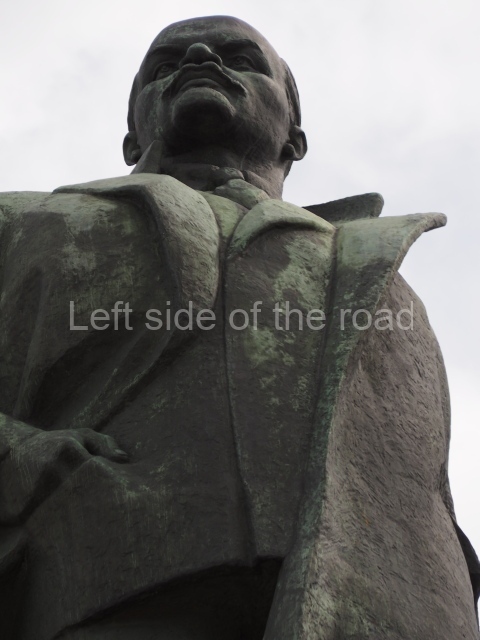
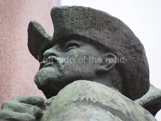
The height of the monument is 22 m. At the top of the cylindrical column of red polished granite is a full length bronze statue of V. I. Lenin. He is facing forward, his gaze to the distance. Lenin’s overcoat is unbuttoned, one lower edge is thrown back by the wind, his right hand is in the jacket’s pocket.

Lenin and October Revolution - 02

Lenin and October Revolution – 02

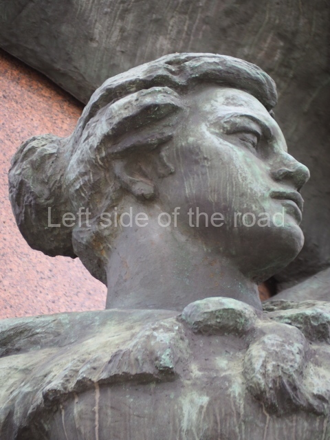
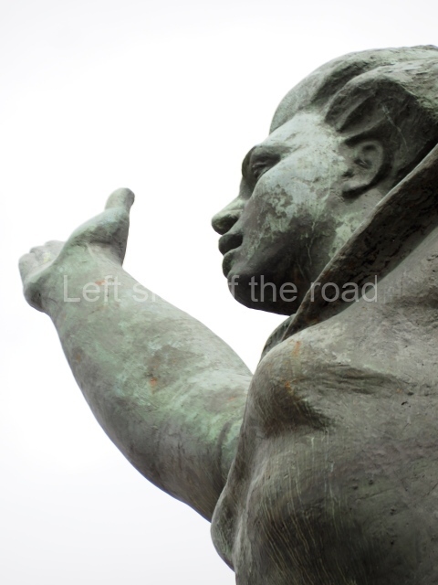
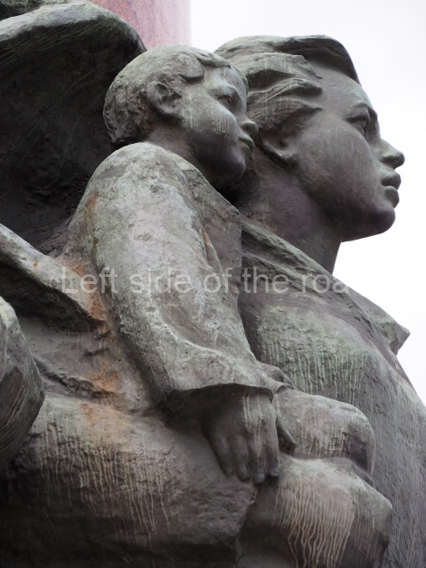
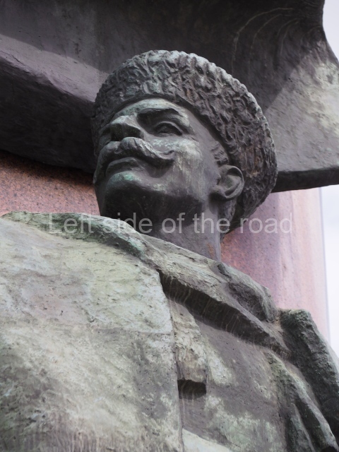
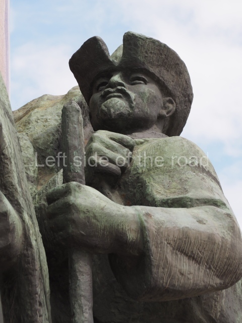
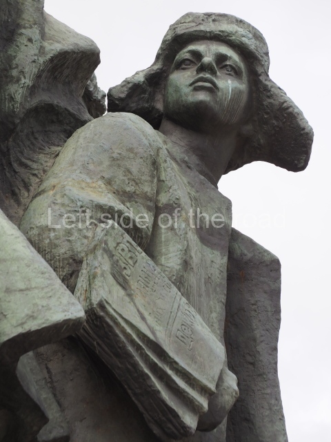
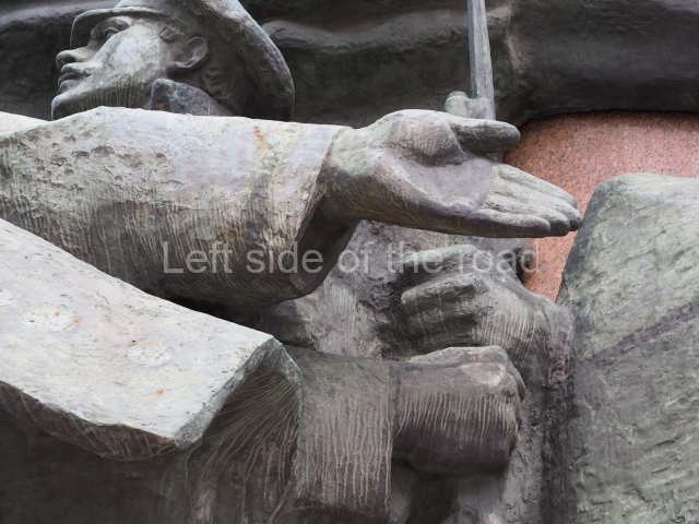
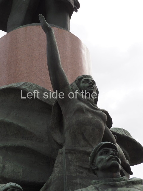
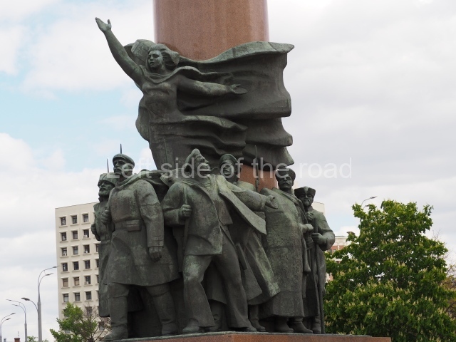
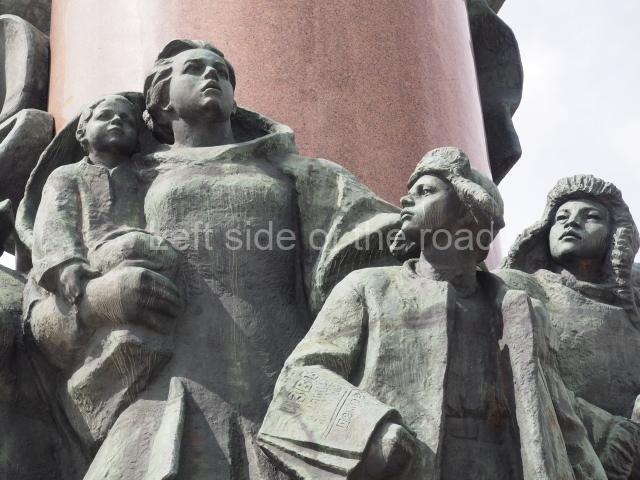
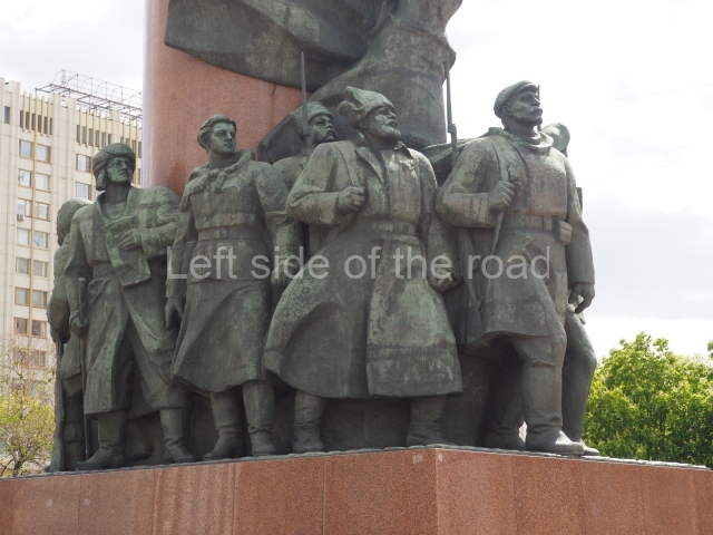
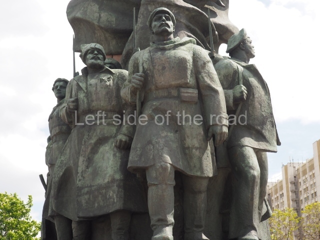
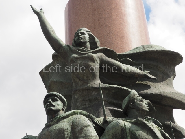
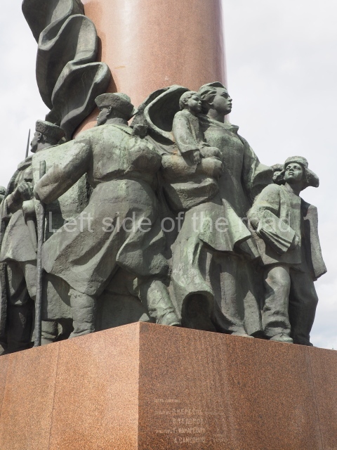
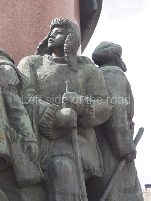
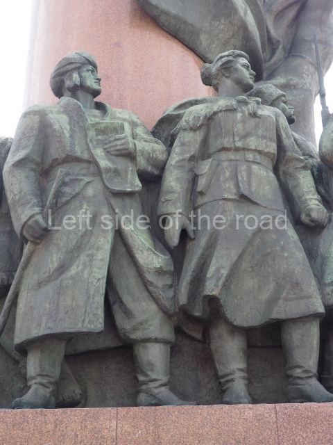
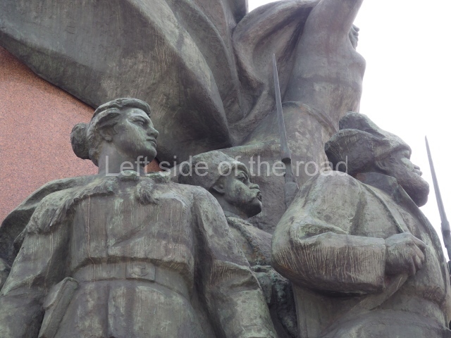
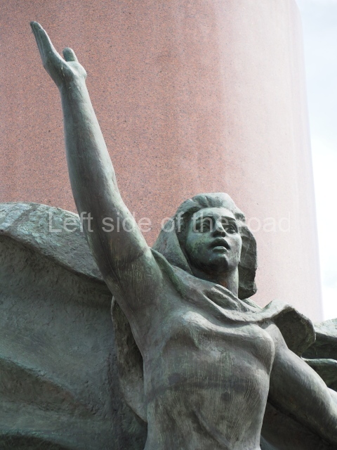
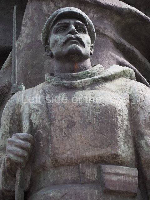
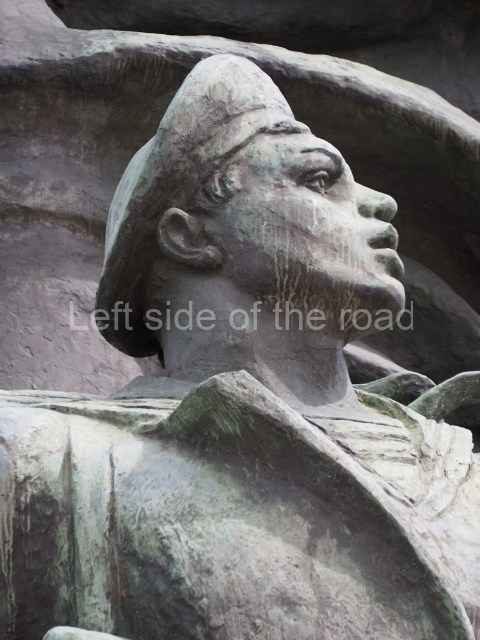
At the base of the pedestal is a multi-figure composition, which includes revolutionary soldiers, workers and sailors of various nationalities. Above them is a woman on the background of a fluttering flag embodying the Revolution. Behind the pedestal is the figure of a woman with two children, personifying the rear of the revolution. The elder boy in his hand has revolutionary newspapers.

Text above from (a slightly edited page on) Wikipedia.

Lenin and October Revolution - 01

Lenin and October Revolution – 01

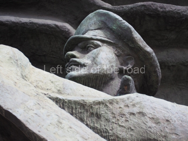
What to look for in the monument;

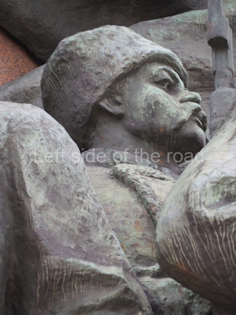
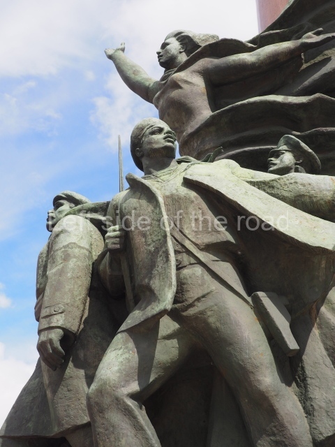
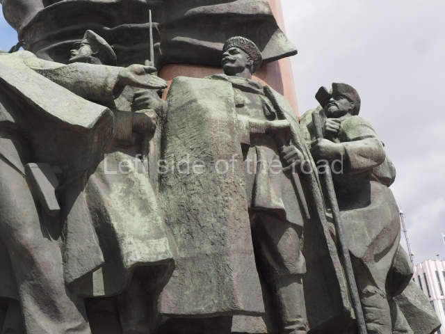
  • the three leading figures are, from left to right, a peasant soldier, an armed Petrograd worker, a sailor;
  • the peasant soldier wears a knotted red ribbon over his left chest – the red arm band was the normal sign of a Bolshevik but this is difficult to represent on a bronze statue. Whether the red ribbon was an alternative ‘badge’ I’m not sure;
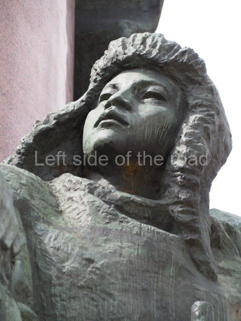
  • the female representation of Revolution, that is located above the revolutionary workers and peasants and below Lenin. She has her right arm raised forward and upward – indicating the advance of the revolution – and her left arm stretched behind her I a pose that invites others to join the march to the future. Her flowing scarf is a representation of the Red Flag, the workers’ revolutionary standard;
  • the leading sailor (note the striped t-shirt under his jacket) also has his left arm stretched behind him, also encouraging those (unseen) behind to come and join the revolution, he’s also looking in their direction. He, and the female sailor on the other side of the group, were probably from the Cruiser Aurora;
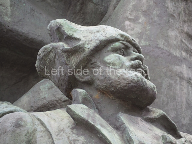
  • the older workers/peasants indicating that the revolution is not just a matter for the young, their dress suggesting that they are possibly from other nations in the old Russian Empire and stressing the All-Russia aspect of the October Revolution;
  • the engraving at the back of the red marble plinth which notes the sculptors and architects as well as the date of the monuments unveiling;
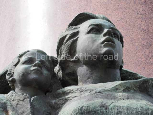
  • the young mother, holding a very young child in crook of her right arm and her left hand on the shoulder of an older boy, representing for the new and youthful Socialist Republic that was being created following the attack on the Winter Palace;
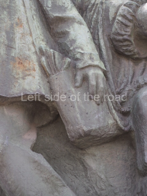
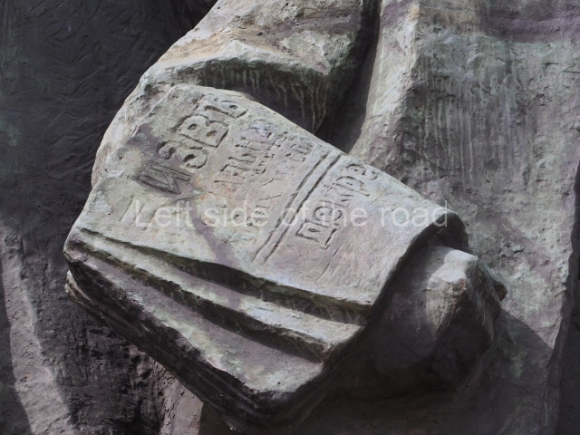
  • the young boy newspaper seller next to the young woman. He has copies of the newspaper Izvestia (which had been founded in February 1917 and which, at the time, was the mouthpiece of the Petrograd Soviet) folded over his right forearm and more copies in a satchel hanging from his left shoulder. The headline also indicates information about one of the first decrees of the Soviet Government, possibly that on Peace and an end to the imperialist war;
  • another young boy who, from his looks and dress, comes from one of the many northern nationalities;
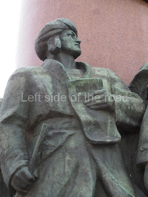
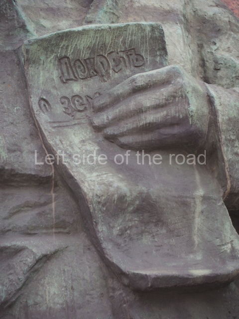
  • the male peasant (again from one of the nationalities – note his turban type headdress) holding a copy of the Decree on Land – which nationalised all the land in the country;
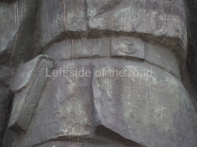
  • what looks like a female sailor (note the anchor on her belt buckle) who is armed with a pistol and wears a red neckerchief – but I have no information about women in the navy in pre-Revolutionary times;
  • and surmounting all a full length statue of VI Lenin, leader of the Bolshevik Party (which became the Communist Party of the Soviet Union). He has an open overcoat over his suit, the right lower edge of which is being blown back by the wind. He is standing with his right hand in his suit jacket pocket and his cap is scrunched in his left hand. He’s looking ahead, in a contemplative pose, perhaps wondering what to do next and how to overcome the inevitable problems.

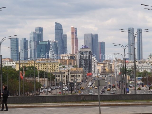
Not exactly sure what Lenin might have been looking at when the statue was installed in 1985 but now he looks down a long avenue towards the Moscva River – across which is the area know as ‘Moscow City’, an area of densely packed, ugly, modern high rise glass and steel buildings.

'Moscow City'

‘Moscow City’

However, if Vladimir Ilyich looked slightly to his left he would be looking at the main entrance to the Okysbrskaya Metro station.

Oktyabrskaya entrance

Oktyabrskaya entrance

Sculptors;

L. E. Kerbel and V. A. Fedorov

Architects;

G. V. Makarevich and B. A. Samsonov.

Location;

In Kaluga Square (formerly October Square), at the junction of Lenin Prospekt and Krymsky Val, opposite the main entrance to Oktyabrskaya Metro station

GPS;

55.729466°N

37.613176°E

More on the USSR

Mixco Viejo – Guatemala

Mixco Viejo

Mixco Viejo

More on the Maya

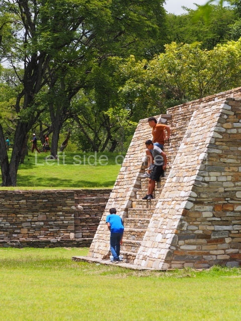
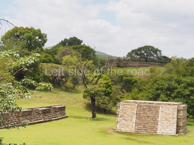
Mixco Viejo

Location

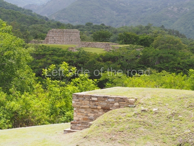
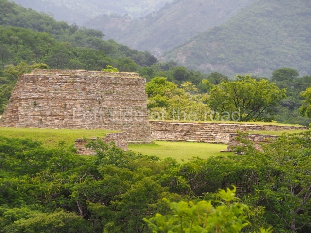
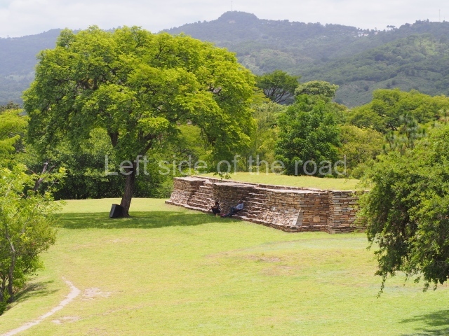
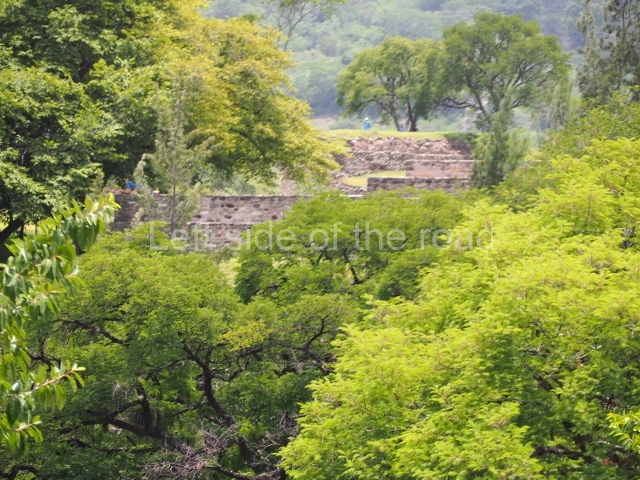
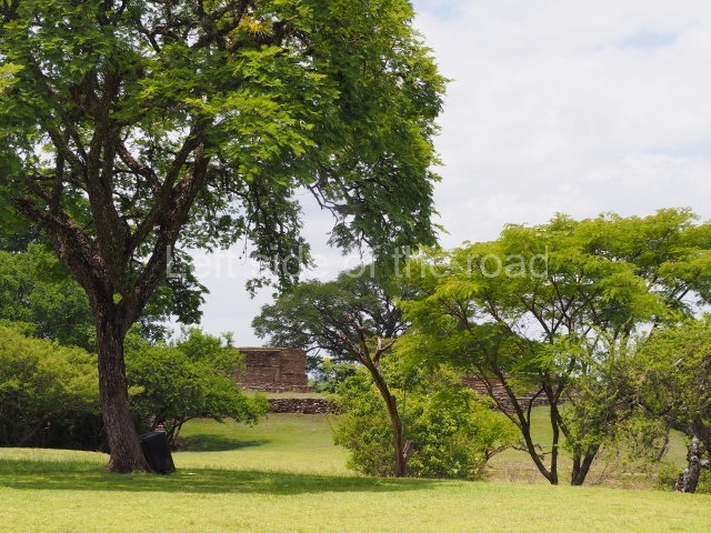
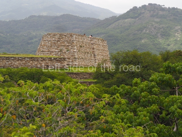
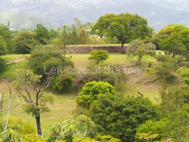
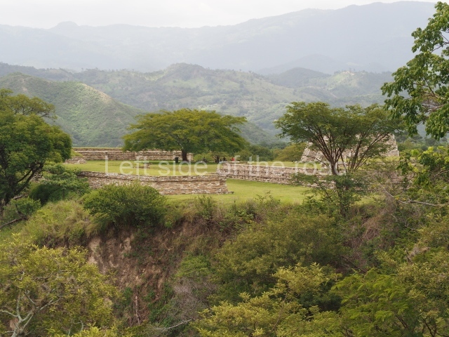
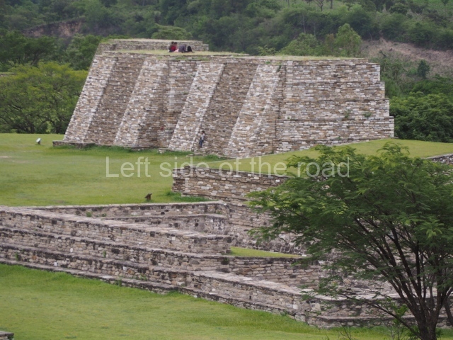
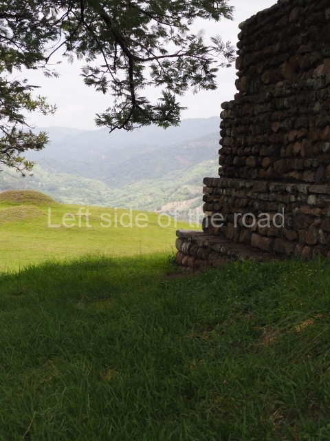
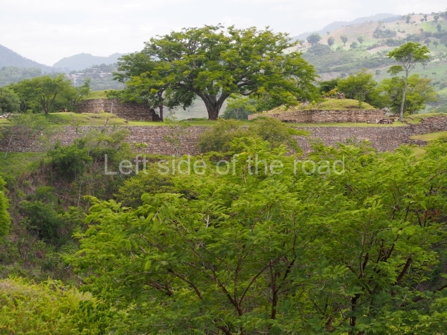
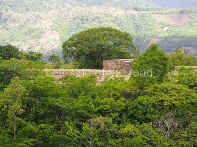
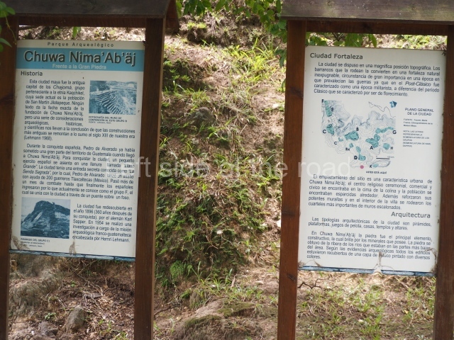
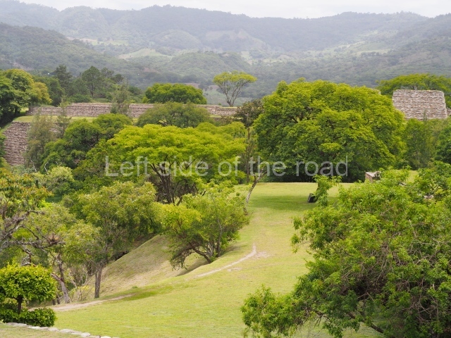
This is one of the most representative Postclassic archaeological sites in the Guatemalan Highlands. Its architecture and landscape combine to make it one of the finest exponents of a defensive site or fortress city from the last period of the pre-Hispanic period. It is situated on a plateau surrounded by deep ravines, 61 km north of the present-day Guatemala City.

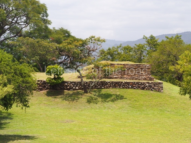
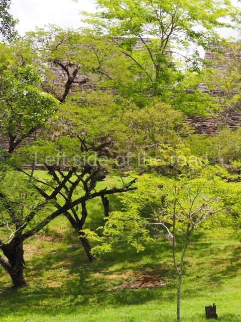
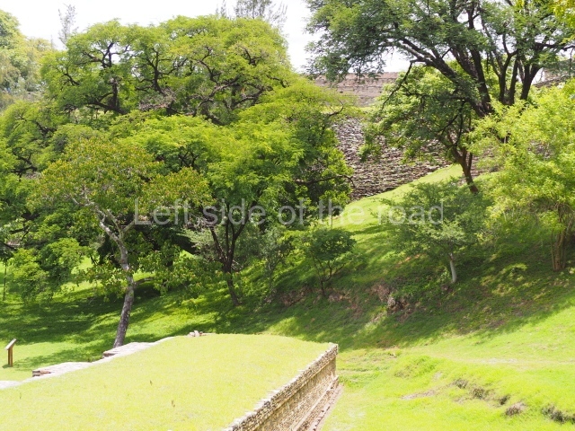
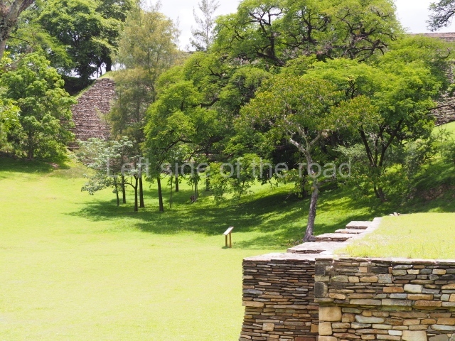
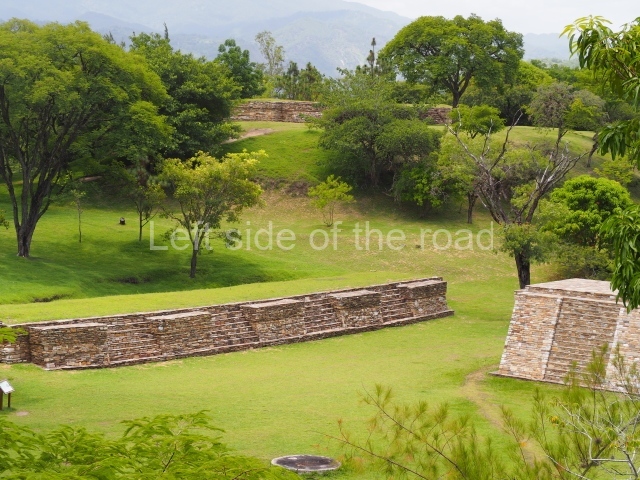
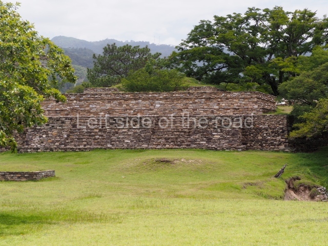
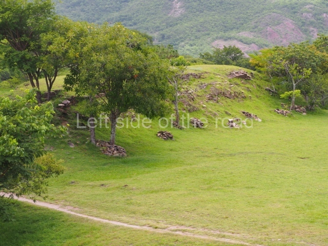
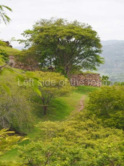
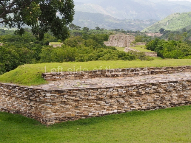
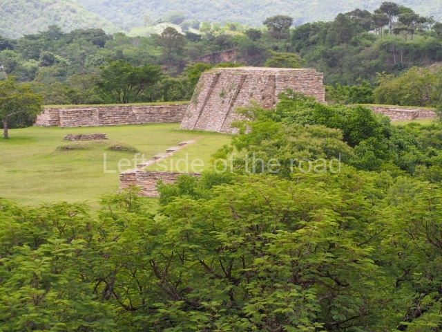
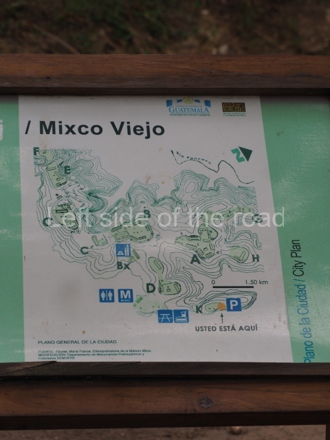
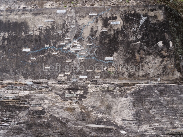
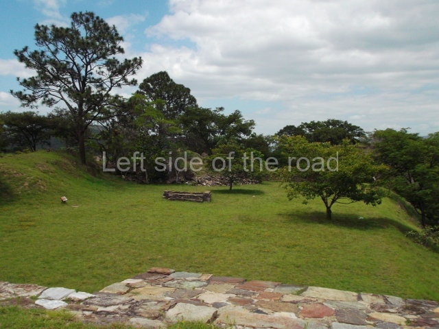
The confluence of the rivers Motagua and Pixcaya flows in deep ravines all around the site. The predominate climate is hot and dry, and the vegetation is of the thicket type. The site, which covers an area of approximately 1 km and stands 880 m above sea level, contains over 100 structures distributed in several groups designated by letters. Each group consists of one or more temples, several platforms for supporting large houses or palaces, and a ball court, all situated around enclosed or open plazas.

Pre-Hispanic history

According to Fuentes and Guzman, the fortress at Mixco Viejo was a virtually impregnable military bastion due to its location and magnificent defensive position. However, following cruel battles waged on the plains around the site, a group of prisoners revealed a secret access to the Spaniards, enabling them to take the defenders of the fort unawares and defeat them in a campaign led by Pedro de Alvarado.

The ruins of Mixco Viejo were identified by Karl Sapper, who visited the site at the end of the 19th century. The next visitor was A. L. Smith, who included it in his book Archaeological Reconnaissance in Central America, and in a chapter in his Handbook of Middle American Indians. The first excavations were conduced by Henri Lehmann of the Franco-Guatemalan Mission in 1954. According to historical records, the site was the capital of the Pocomam kingdom, whose present-day descendants live in the town of Mixco. However, a detailed ethno-historic research project led by Robert Carmack proved that Mixco Viejo was the capital of the Chajoma Maya, a group belonging to the Caqchikel race, whose present-day home is the town of San Martin Jilotepeque. Carmack believed the correct name of the site to be Jilotepeque Viejo, and that the Pocomam capital was the ruin known as Chinautla Viejo, not far from the present-day Zone 6 in Guatemala City. However, out of habit, this important site has continued to be known as the ruins of Mixco Viejo.

Site description

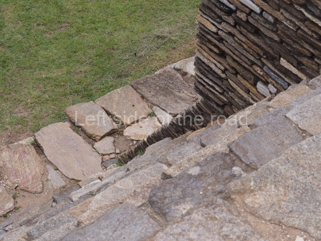
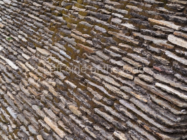
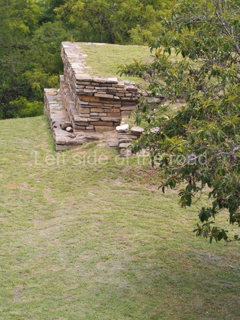
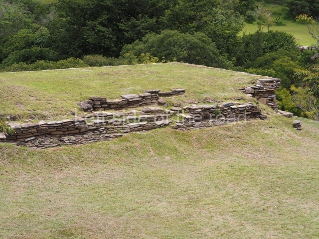
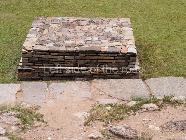
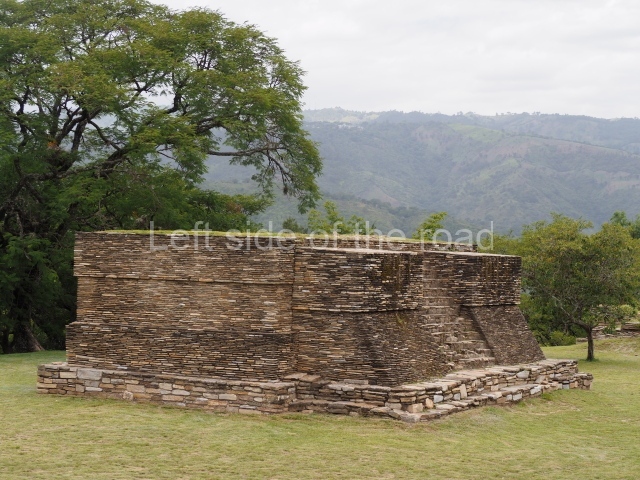
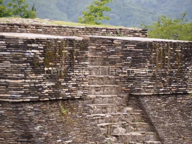
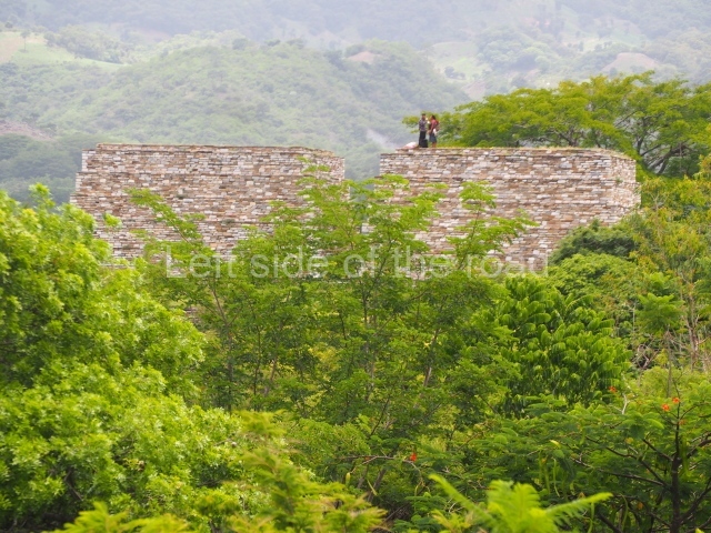
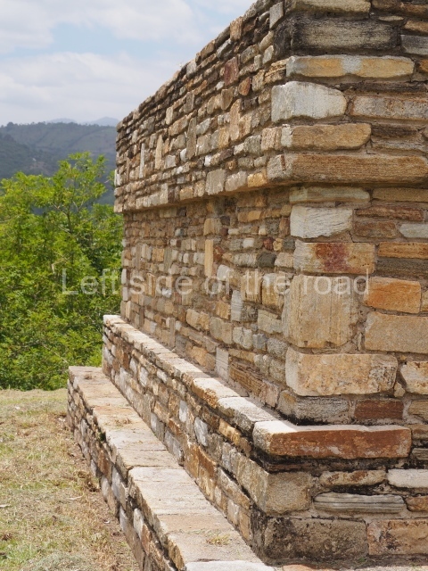
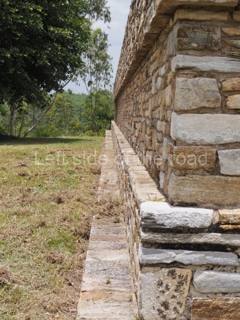
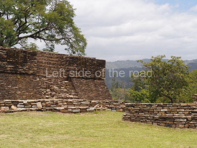
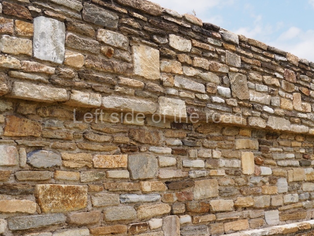
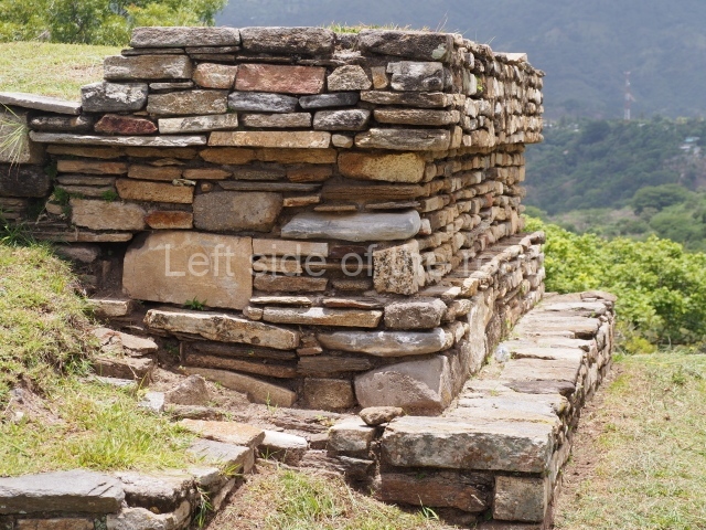
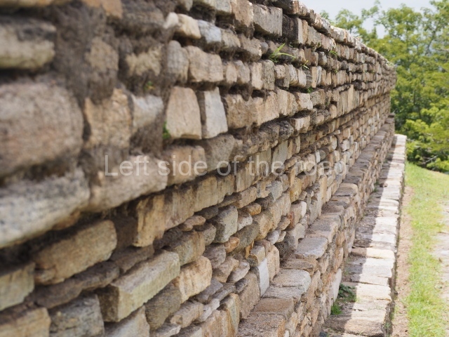
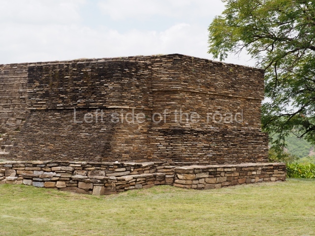
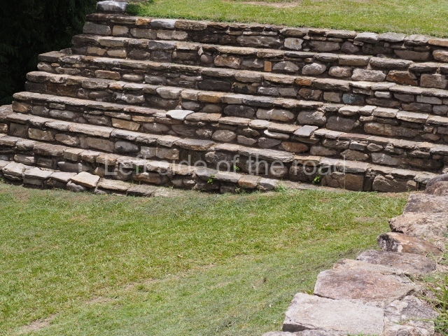
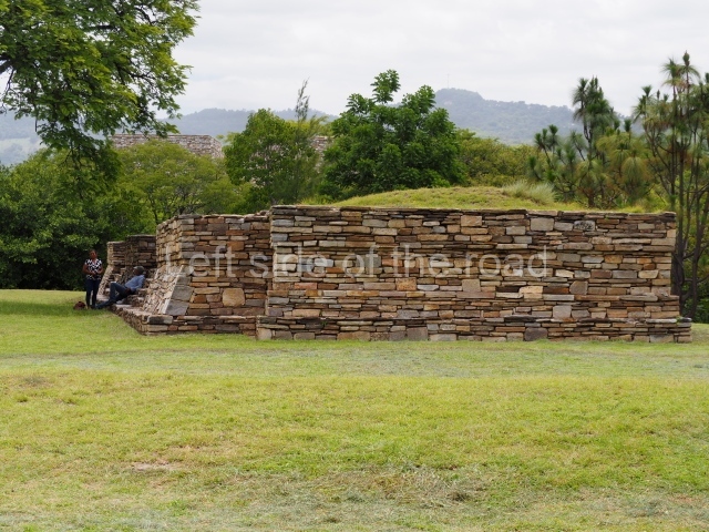
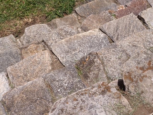
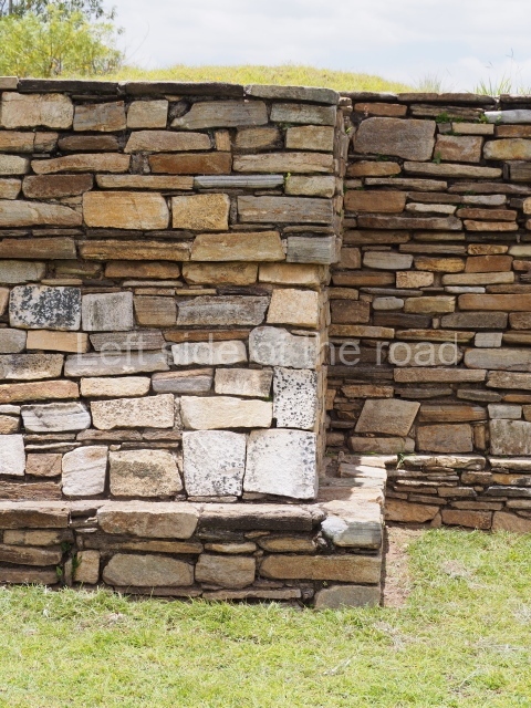
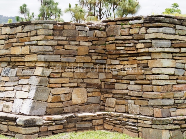
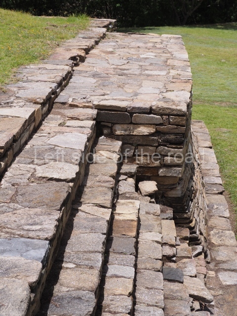
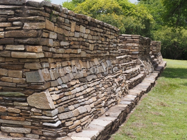
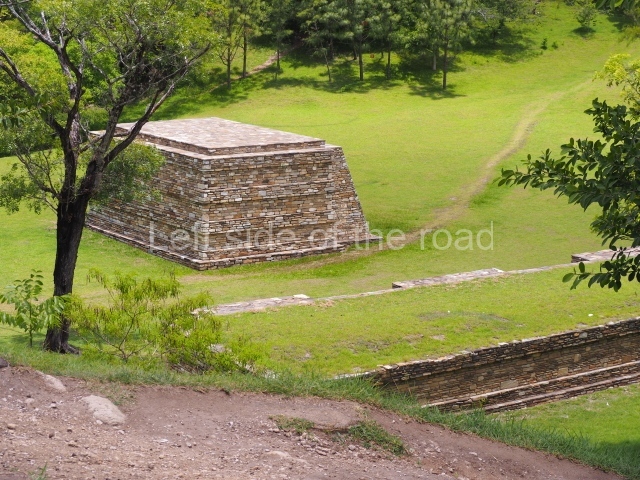
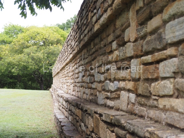
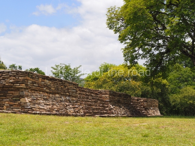
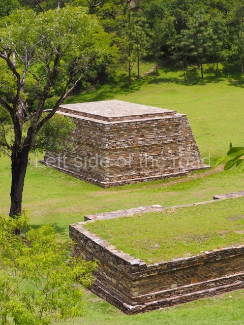
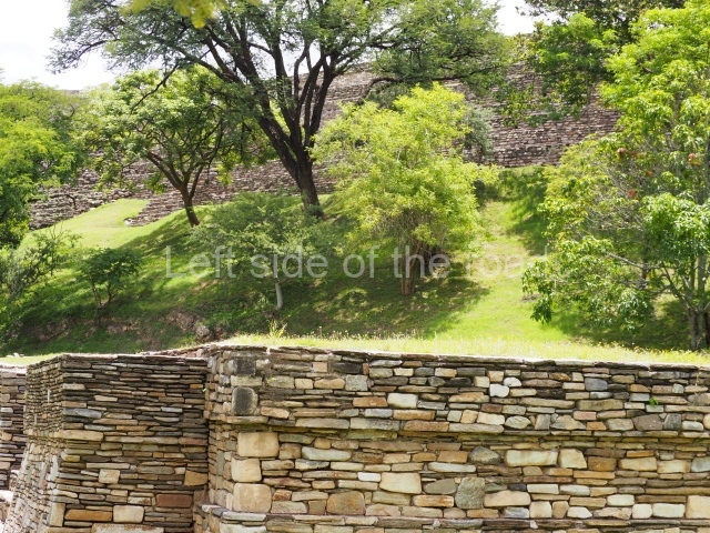
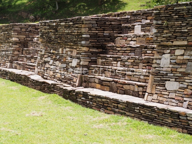
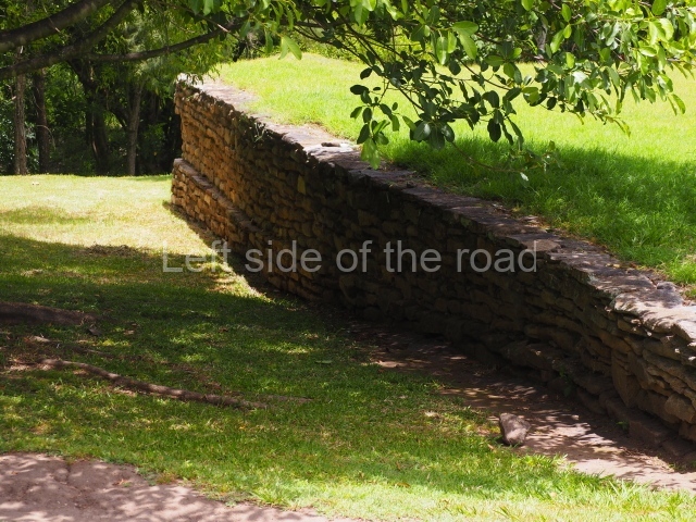
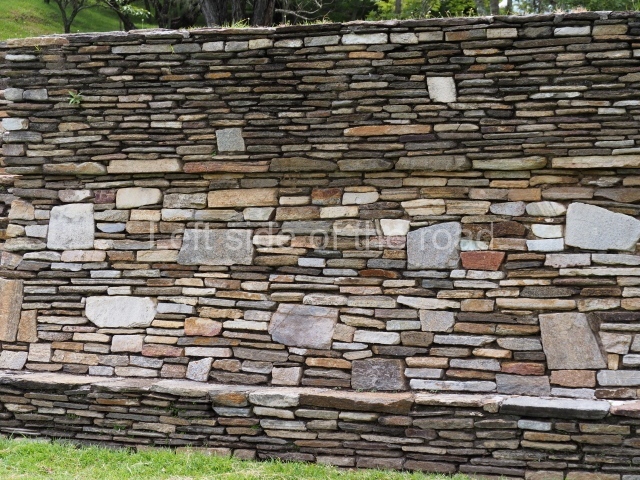
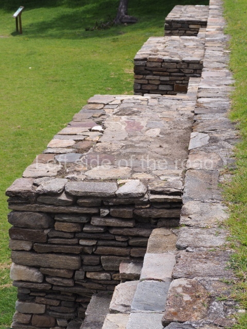
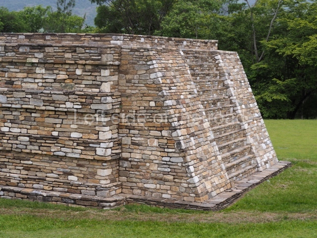
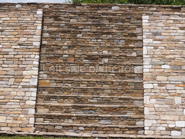
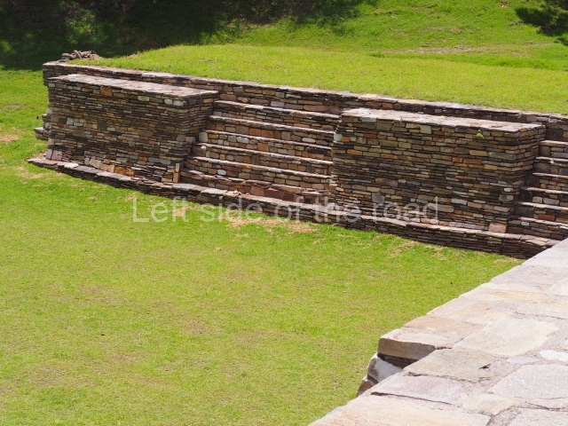
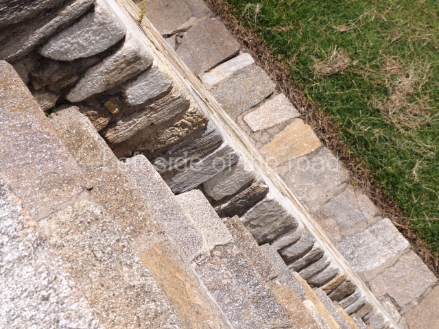
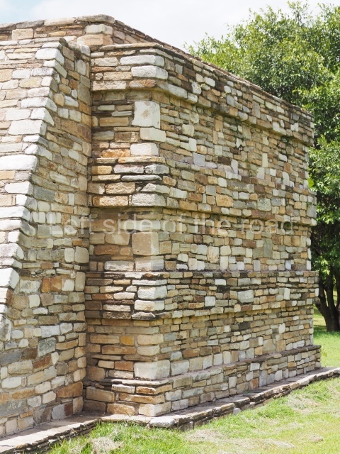
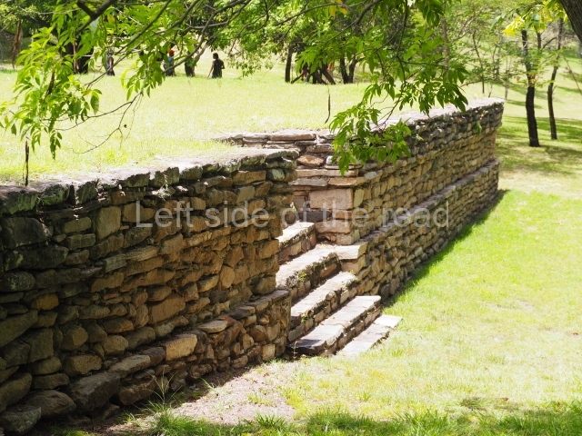
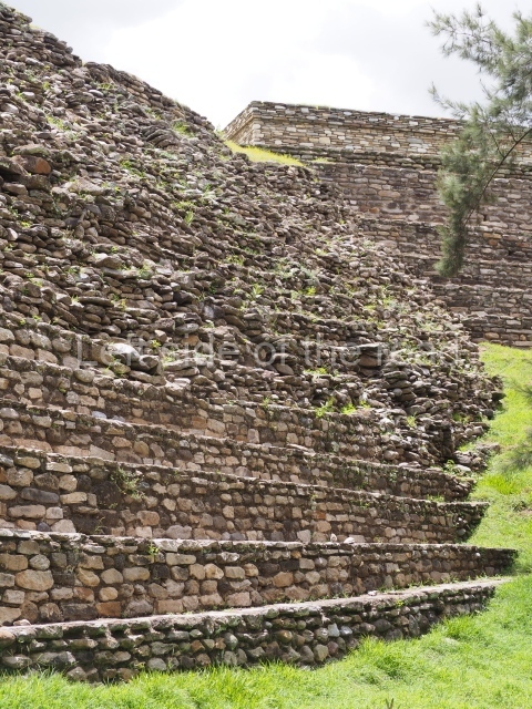
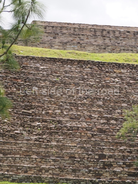
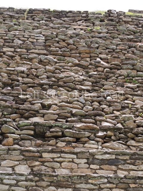
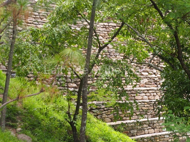
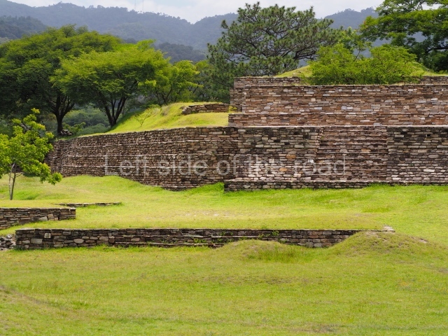
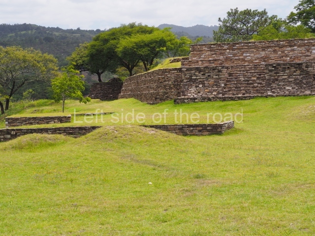
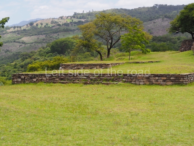
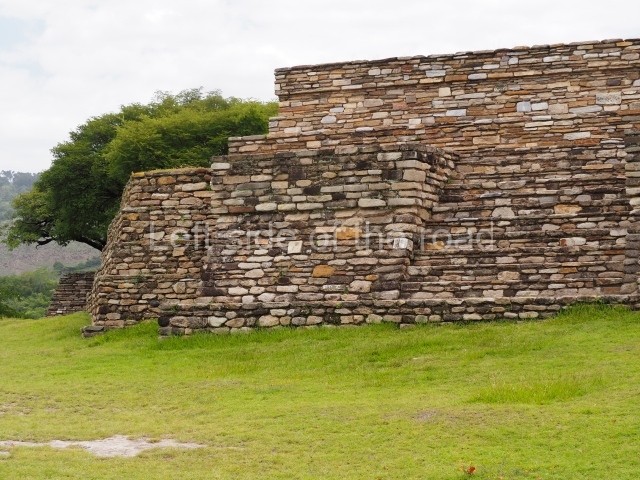
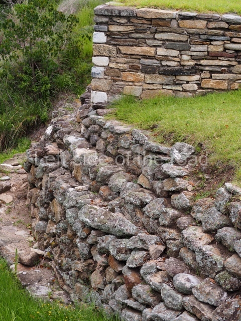
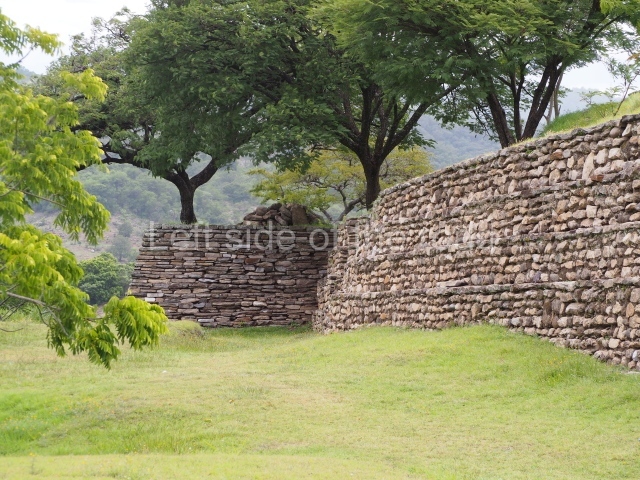
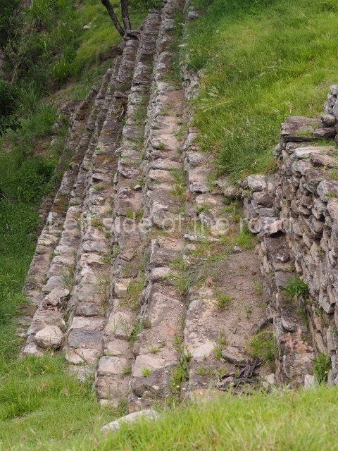
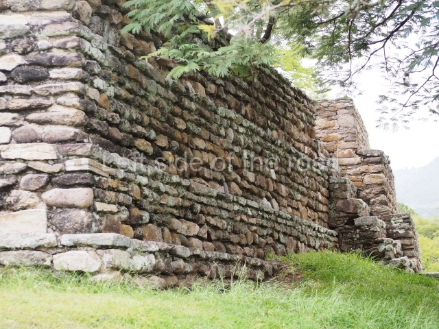
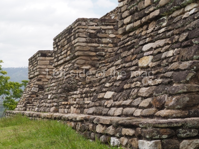
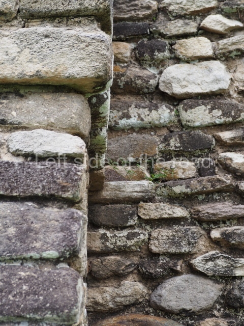
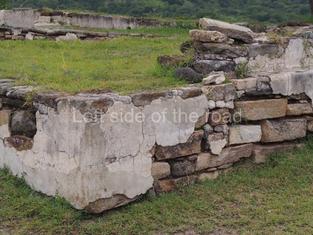
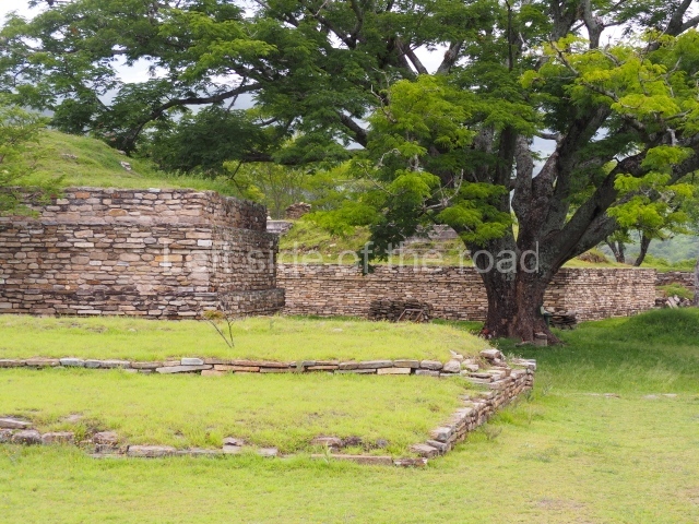
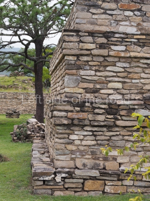
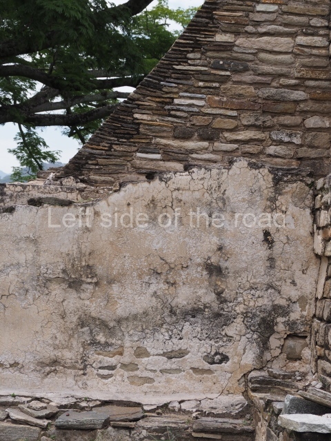
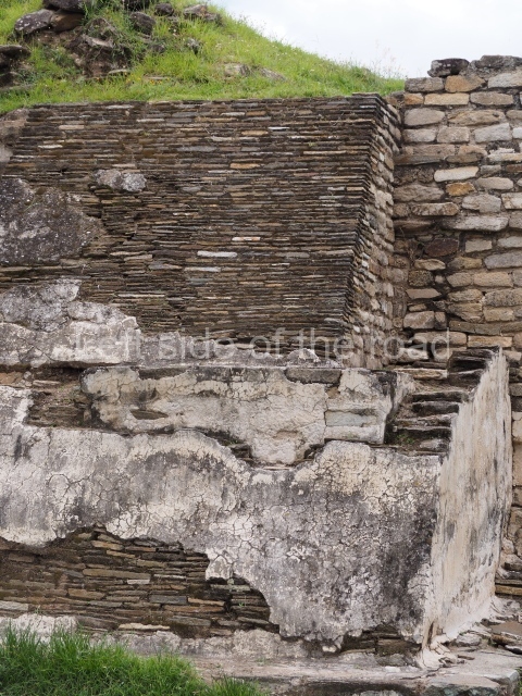
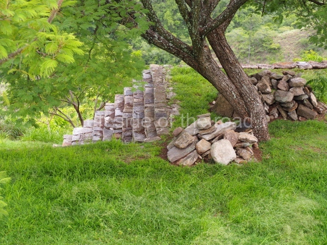
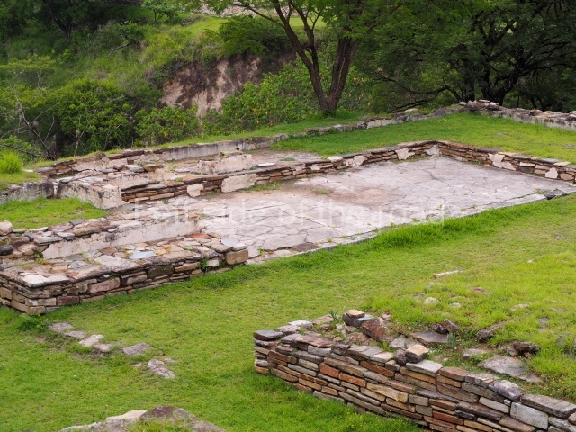
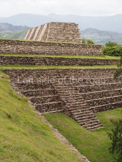
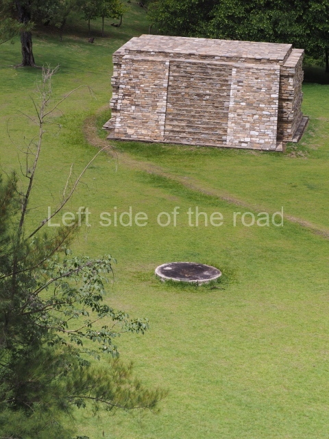
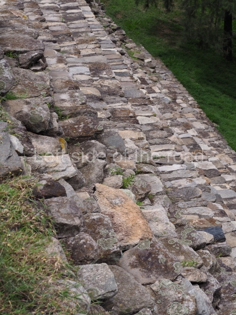
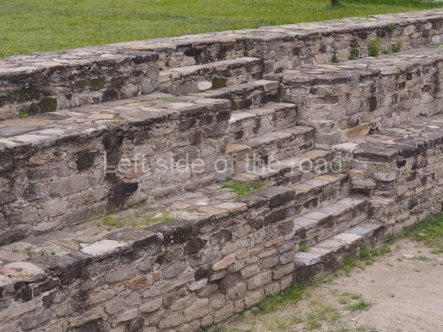
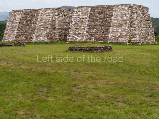
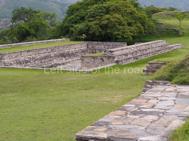
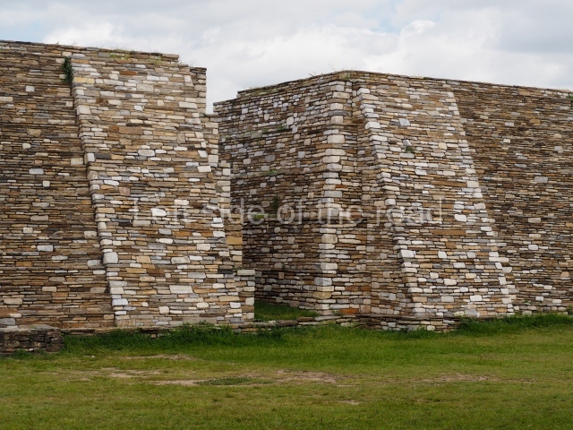
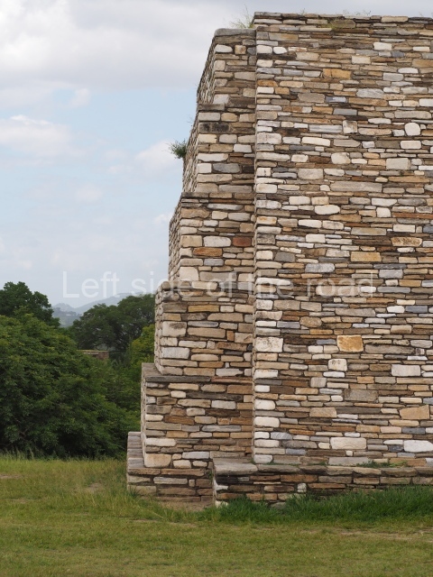
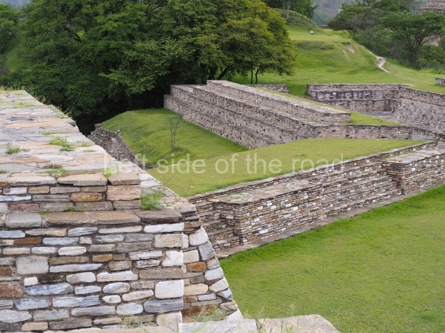
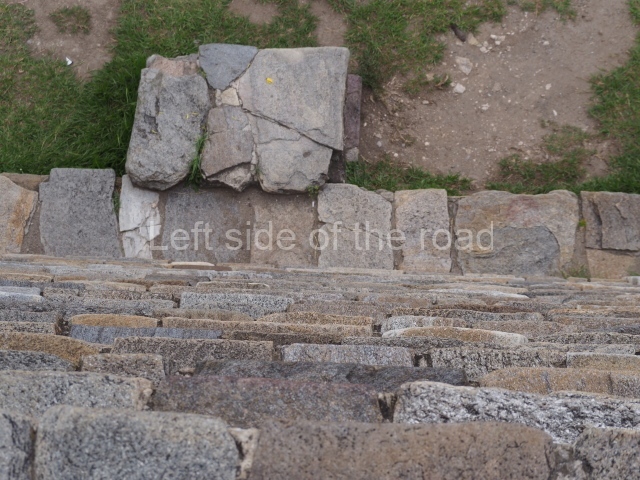
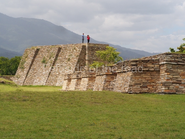
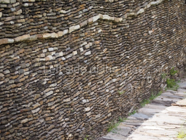
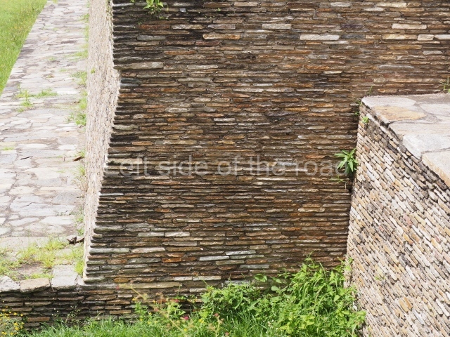
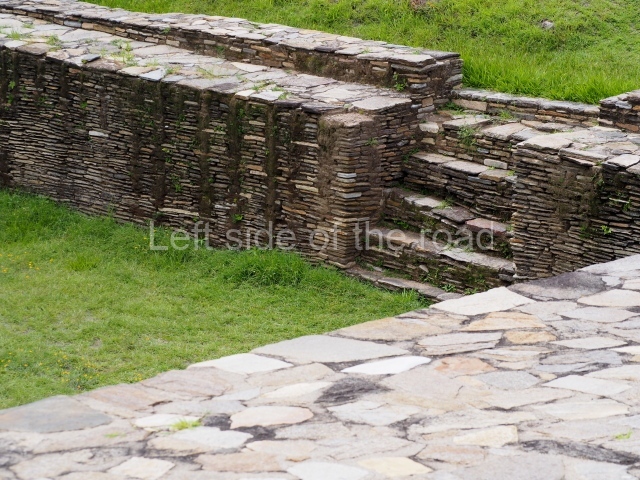
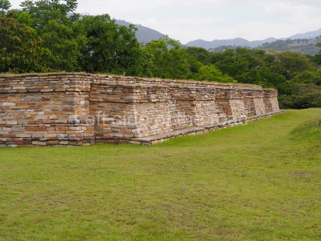
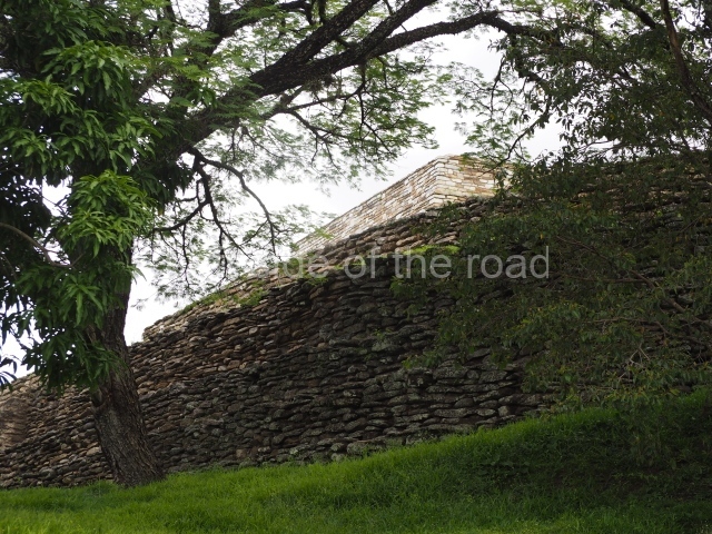
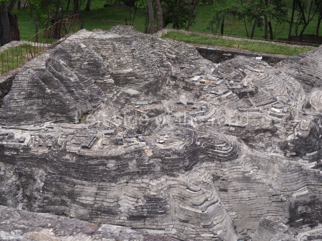
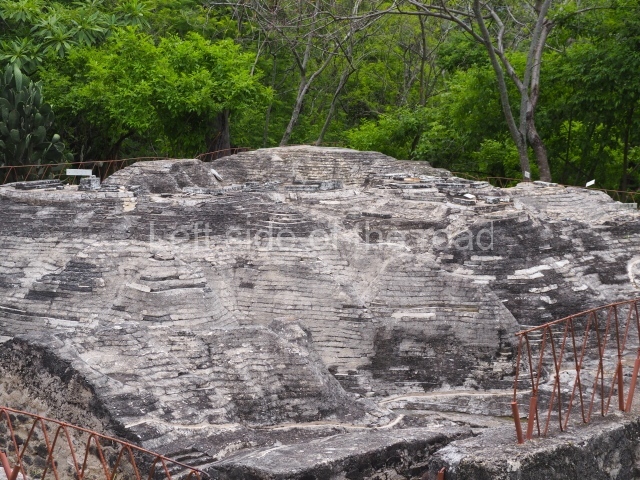
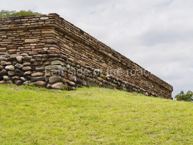
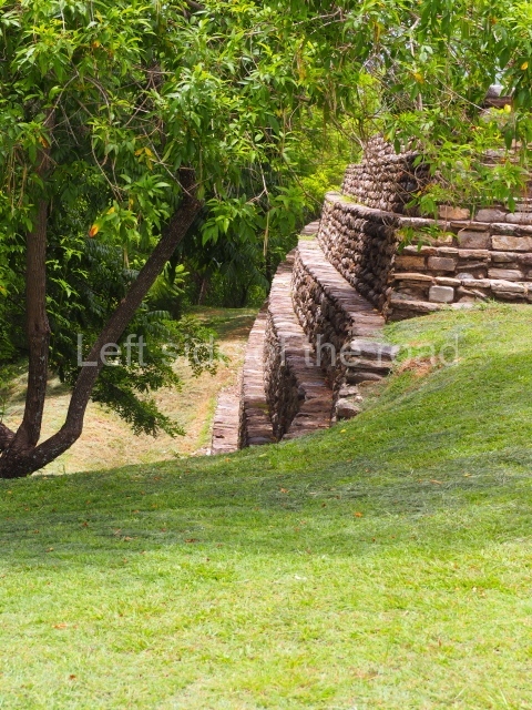
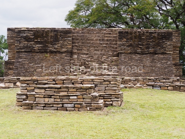
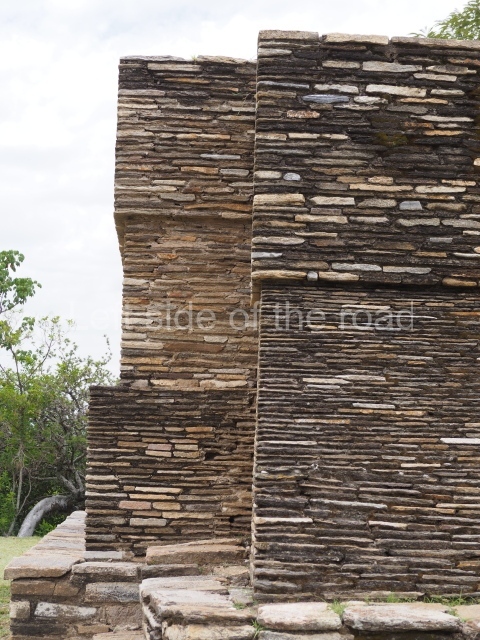
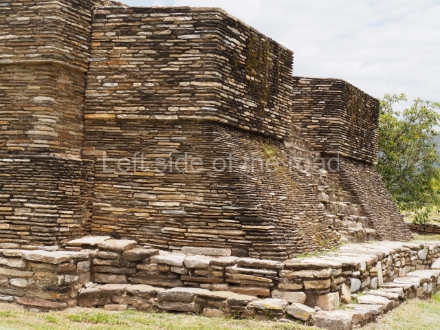
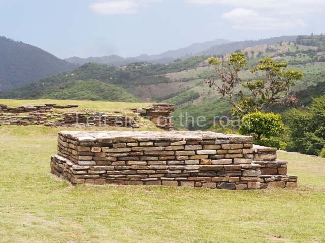
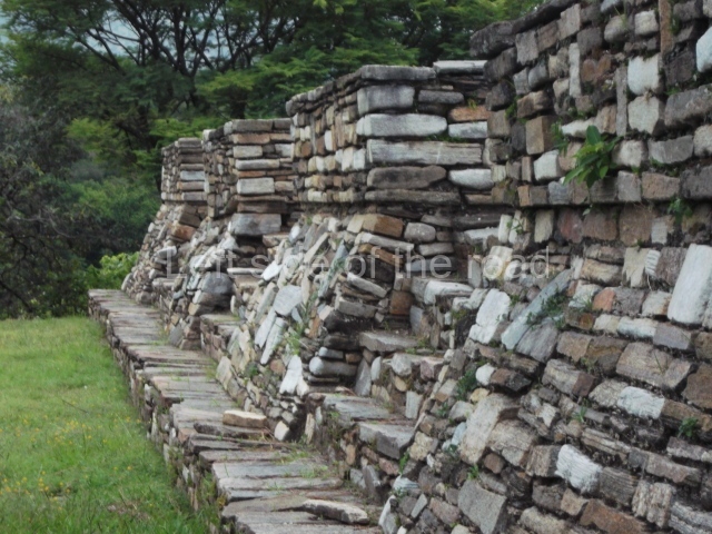
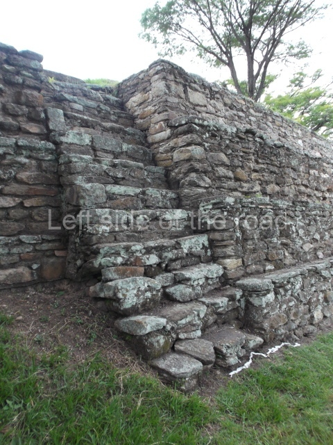
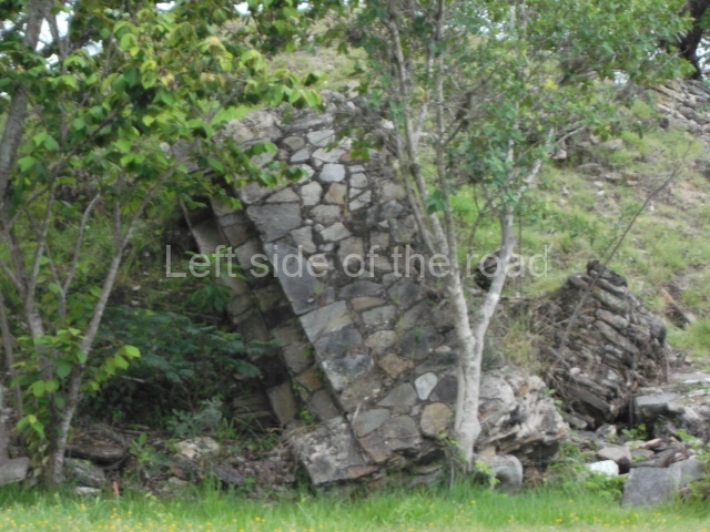
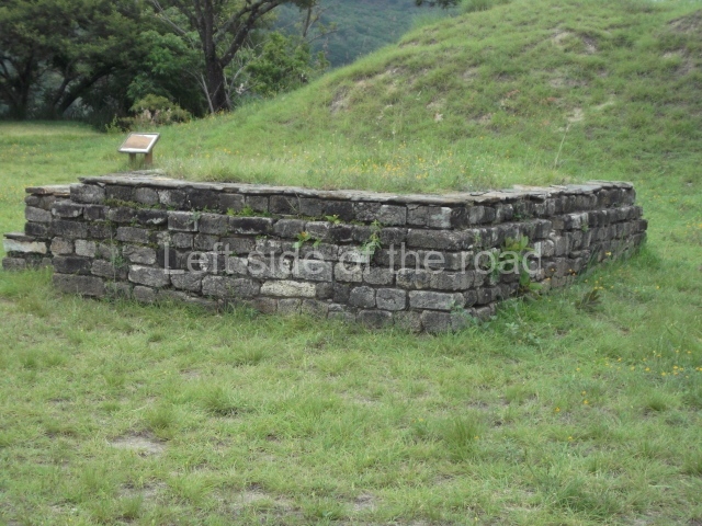
The site is divided into groups designated by the letters A to F, the principal precincts being A, B and C, corresponding to the most important lineages. The other three groups were largely peripheral. Another six groups, smaller in size than the former, are scattered around the edges of the site. In general, the temple structures faced the west, although there are variations, while the platforms supporting the largest houses faced the banks of the ravines. Both the temple structures and the elongated platforms were surmounted by constructions made out of perishable materials. The principal material used at Mixco Viejo was slate or schist for the external face of the walls and a clay and pumice mixture for the filling. The facades of the most important buildings were decorated with stucco and then painted, and in certain cases there must have been murals, although none of these have survived. Even the floors of the ball courts may have been covered by a layer of stucco. The tallest buildings corresponded to the temples – nine in total – some of which stood 8 m high. The most representative were the double temples or twin pyramid platforms, which recall the architectural style of the Mexican plateau during the Postclassic. The elongated platforms that supported the ‘large houses’ can be found in each principal group, forming plazas. These had numerous accesses formed by sloping balustrades with vertical finial blocks. The ball courts were of the closed, I-variety. Wide and extremely long, they were accessed by stairways at both ends. The parallel walls sloped, in the talud style, with vertical finial blocks, and they were lined with benches. The markers, embedded in the top of the walls, were stone carved butts in the shape of a serpent head, with an anthropomorphic head emerging from the open mouth.

Group A

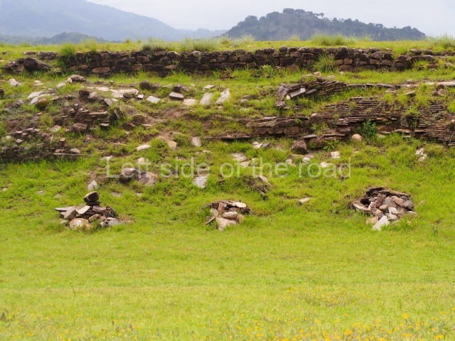
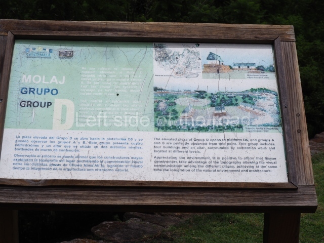
This is situated in the north-eastern section of the site and consists of a series of buildings distributed around two plazas, the most predominant constructions being the elongated platforms. There is a temple platform with a double stairway in the middle of one of the plazas and a sunken ball court in relation to the level of the plaza. One of the plazas contains various small shrines and a series of small platforms for supporting dwellings made of perishable materials.

Group B

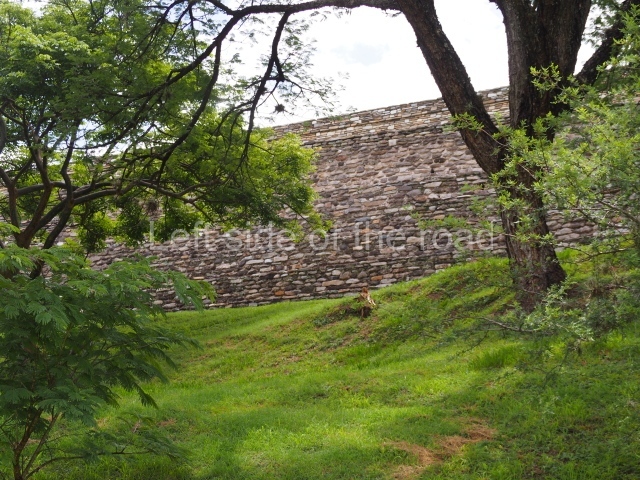
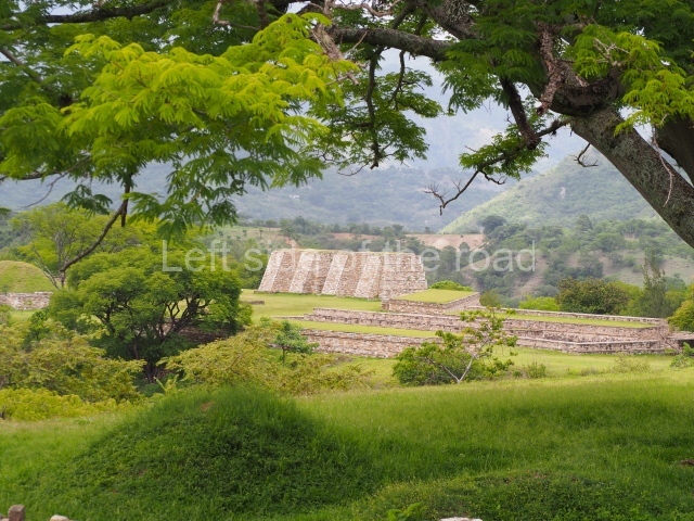
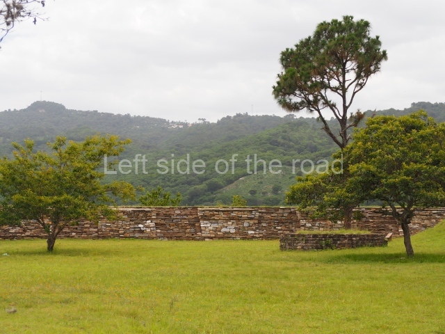
This is situated in the middle of the site on a large plateau surrounded by small ravines. It consists of several structures distributed around a large enclosed plaza which includes twin temples, 6 m high, platforms for palaces or large houses, shrines and another sunken ball court. Larger than the former ball court, this construction is 44.5 m long and 9 m wide between the benches and 17 m at the ends. Except for one platform with four access stairways, the others have only two or a single stairway. Its most outstanding characteristic is a large retaining wall to the south, which reinforced the hill on which the group stands.

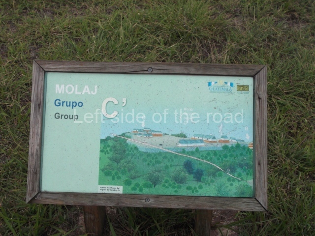
Group C

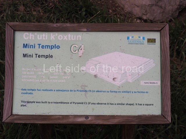
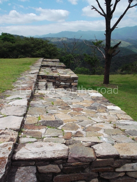
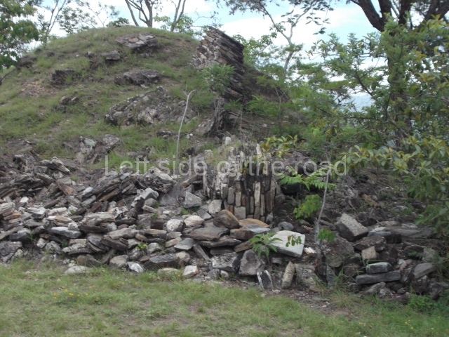
This is situated further west and has an uneven appearance in relation to the former groups. It is divided into two sub-groups of structures which run east-west, the principal constructions being Pyramid Cl, built in several stages and standing 6 m high, and Platform C2. The latter is the largest building at the site, measuring 47×14 m and standing over 4 m high. It is composed of two tiers with several stairways on the top tier. Further to the north, behind this large platform, are various other structures, possibly corresponding to a residential group.

Edgar Carpio

From: ‘The Maya: an architectural and landscape guide’, produced jointly by the Junta de Andulacia and the Universidad Autonoma de Mexico, 2010, pp488-490.

Mixco Viejo

Mixco Viejo

1. Group A; 2. Group B; 3. Group C; 4. Group D; 5. Group E; 6. Ball Court; 7. Double Pyramid.

How to get there;

A bus passes along 1A Avenida at its junction with the PanAmerican Highway in Trébol. This is the starting point for buses to Antigua and other routes heading north. There’s a bus whose destination is Pachalum which passes through at around 09.15 (it might be early or late). Ask the lad who’s there everyday (so he told me) for more information. Q25 each way. There’s a bus which passes the approach road to the ruins returning to Guatemala City at 15.00 and 16.30, more or less.

GPS:

14d 52’ 26” N

90d 39’ 45” W

Entrance:

Q50

More on the Maya