Labna – Yucatan – Mexico

Labna

Labna

More on the Maya

Labna – Yucatan

Location

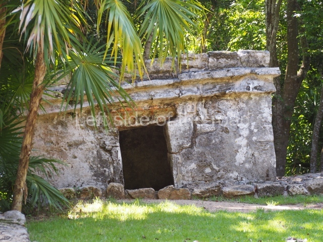
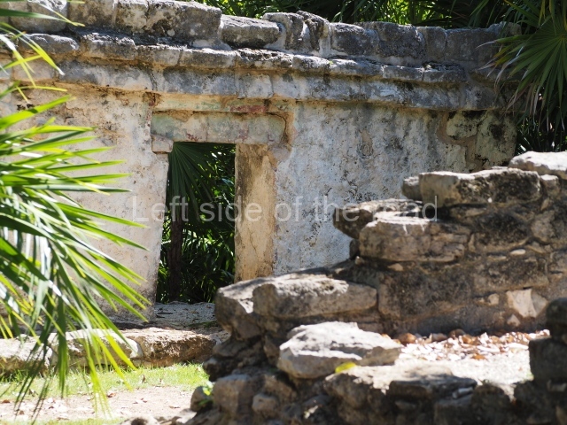
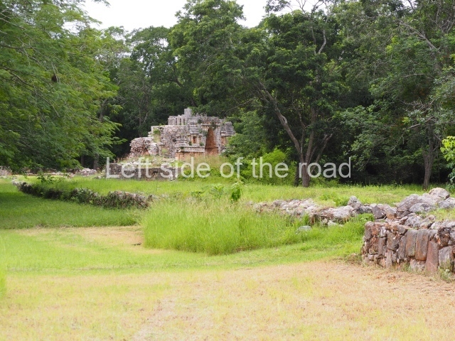
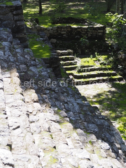
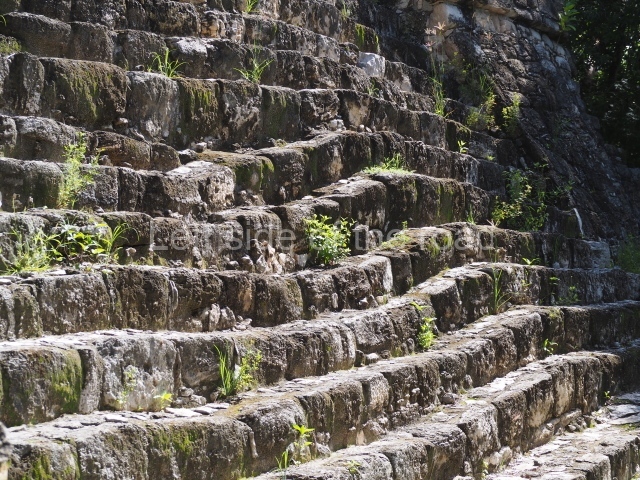
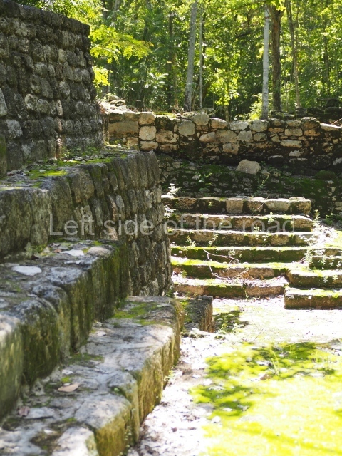
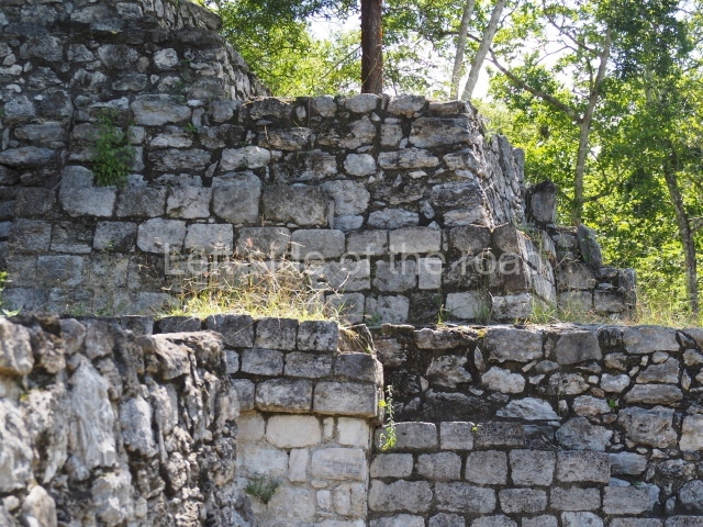
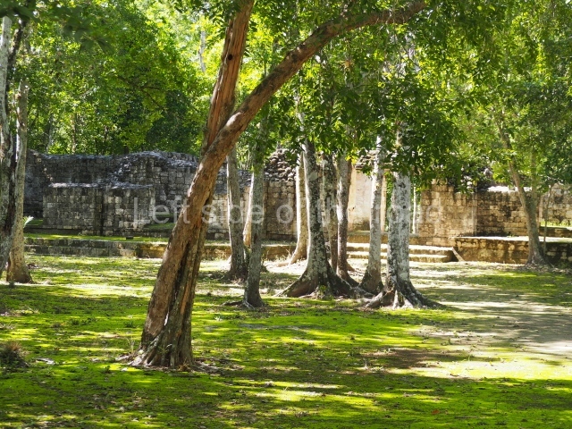
The Labna ruins are situated in the Bolonchen district, 9 km east of Sayil and 3 km from Xlapak. The studies conducted in this archaeological area suggest that the area around the centre of the pre-Hispanic settlement occupied just over 1 sq km with an estimated population of 2,000. A suburban area of an additional 25 ha is also known, situated on the hills that define the south-west corner of the urban area, where there is a small group of masonry constructions inhabited by people of a relatively high social standing. Labna is one of the most important examples of a class of settlements which are distinguished by their relatively common dimensions and populations and which represent the majority of the Maya people who lived and prospered in the Puuc region during the two centuries that the Terminal Classic is estimated to have lasted (AD 750-950) in the Yucatan Peninsula.

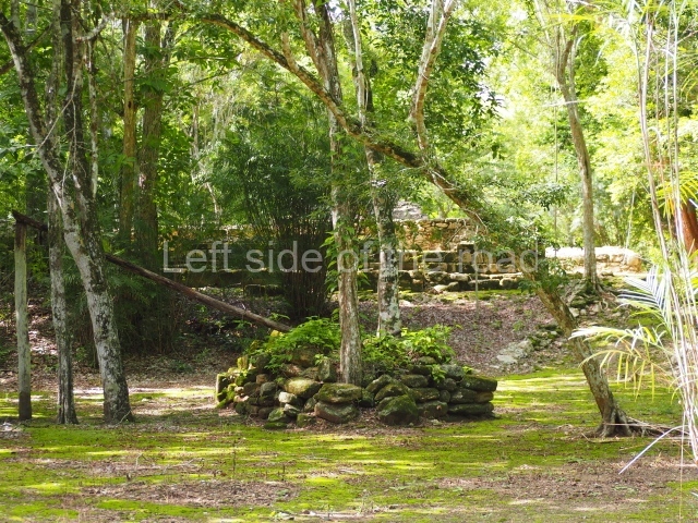
According to experts such as Pollock, Edward Kurjack and Nicholas Dunning, the layout of the main architectural precinct at the site and the types of structures it comprises are typical of many archaeological sites in the region. However, Labna is regarded as the most characteristic Puuc site and is well worth a visit for those interested in gaining a more complete picture of the social organisation of the population who lived in this undulating landscape, of the types of buildings they constructed to accommodate the community and of the principal spaces they created for conducting their civic and religious activities. Like many other mountain sites, it was first recorded by the American traveller John Stephens and the British artist Frederick Catherwood in the late 1830s. However, the first archaeological explorations took place some 50 years later, led by the American consul in Yucatan, Edward H. Thompson, an archaeologist affiliated to the Peabody Museum at the University of Harvard. His excavations were the first ever conducted in the Maya area by a researcher linked to this institution, which to this day continues to promote the studies of numerous distinguished Mayanists. Although many of his activities were controversial, Thompson authored a study on the chultunes at Labna, the first ever publication devoted to the numerous cisterns designed to collect and store rainwater. These bottle shaped tanks tend to be situated in the courtyards of residential units, which served as collecting areas; the same purpose was served by the roofs of the constructions around the courtyard, which descended steeply towards the mouth of the cistern. This was reduced in width by a stone ring-shaped parapet, on which sat a round slab stone that acted as a movable lid. This minimised the loss of water through the process of evotranspiration and may well have also reduced the entry of rubbish as the parapet was several centimetres higher than the surrounding collecting area. Many cisterns were excavated with a long neck to cross the bedrock and reach the relatively soft sascab or limy layer in the process of petrification. In addition to offering an example of the Maya’s ingenuity in adapting to the extreme conditions of their environment, the chultunes also played a vital role in guaranteeing the survival of the inhabitants all year round by providing water, a precious commodity, during the dry months.

Pre-Hispanic history

The excavations undertaken by archaeologists from the Yucatan INAH Centre have revealed the existence of constructions and materials that confirm that the first settlers occupied Labna from as early as the late Middle Preclassic (c. 500 BC). However, the presence of buildings with Early Puuc architecture, such as the Colonnette and Mosaic styles, associated with Cehpech slate ceramic vessels, indicates that the site was primarily occupied during the Terminal Classic (AD 700-900), when Labna experienced its greatest splendour. Thereafter, the population declined considerably. There are also remains of various later constructions, regarded as transitional buildings between the Terminal Classic and the Early Postclassic (AD 1000-1100), but otherwise everything seems to suggest that the site had been totally abandoned by the end of the Early Postclassic (AD 1200).

Site description

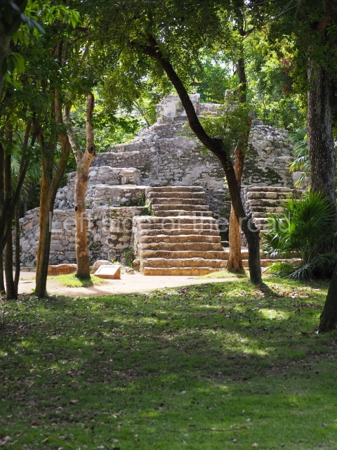
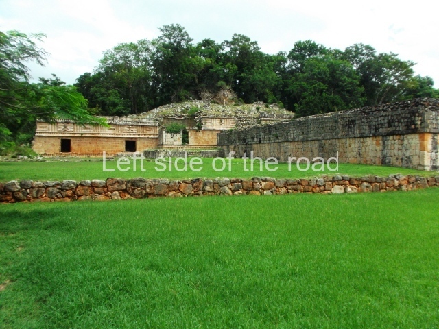
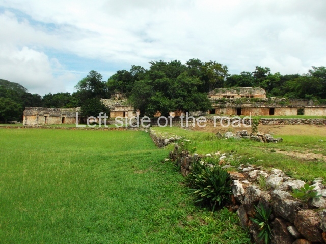
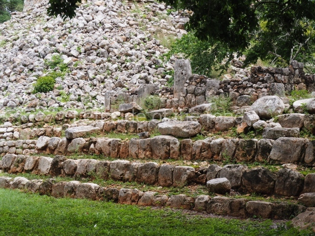
The architectural groups inside the area open to visitors are the Arch Group, the North Square, the Mirador Group, the Temple of the Columns and the Palace. The first three belong to the same architectural complex and are connected to the Palace by a sacbe or internal causeway.

Arch group.
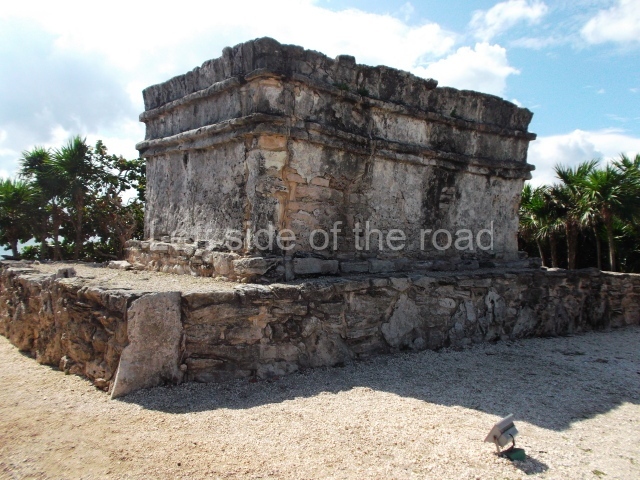
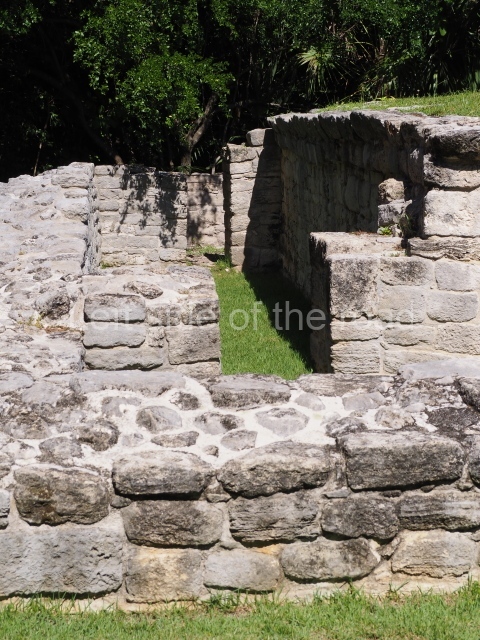
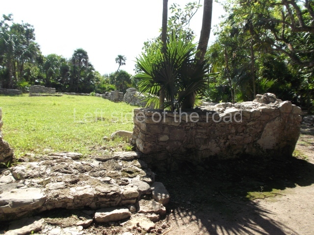
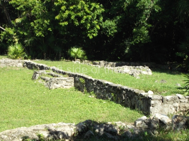
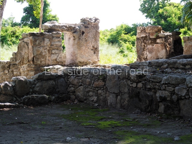
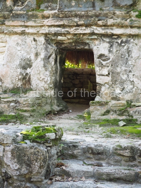
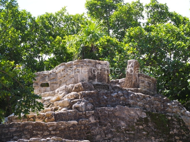
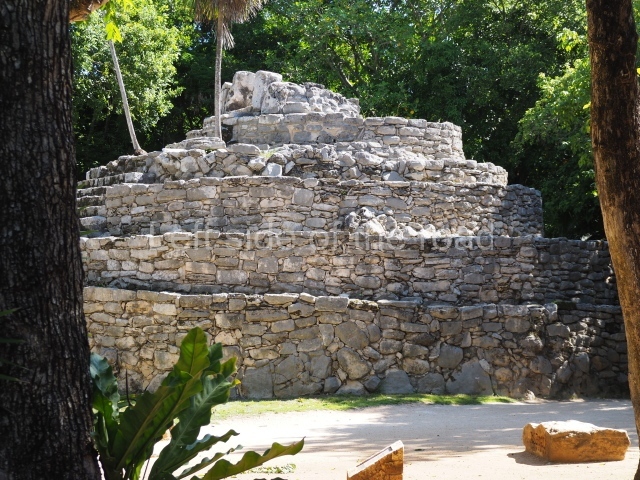
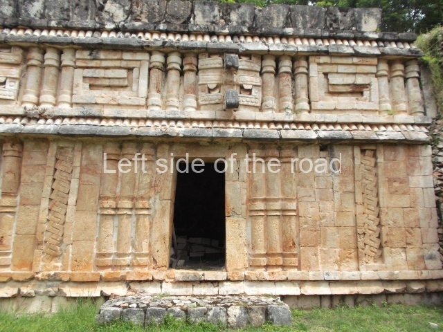
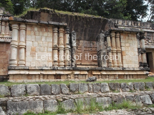
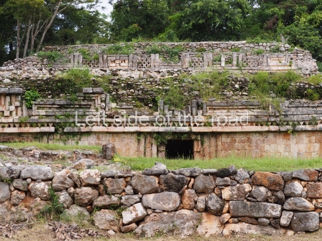
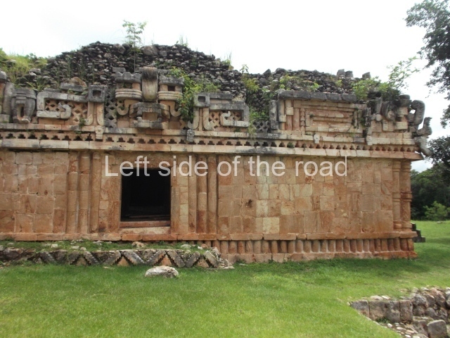
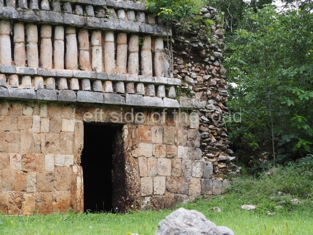
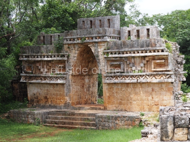
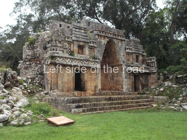
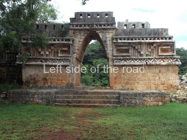
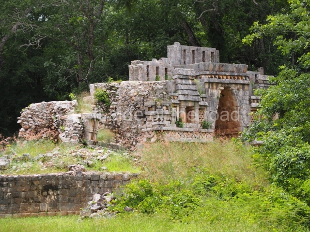
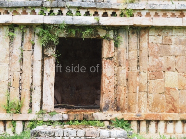
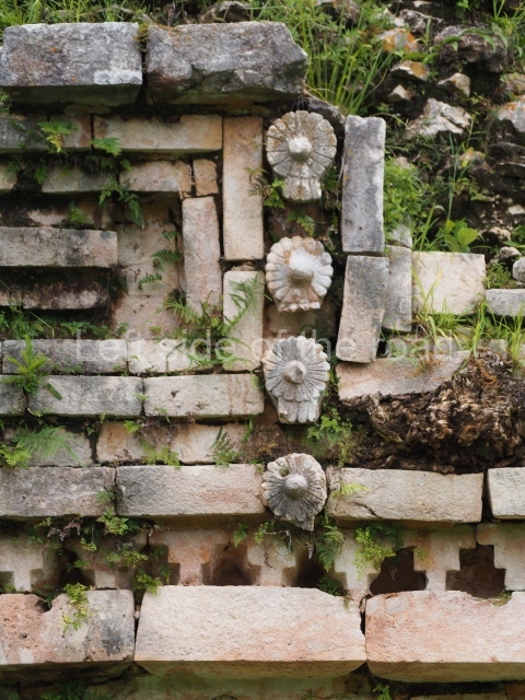
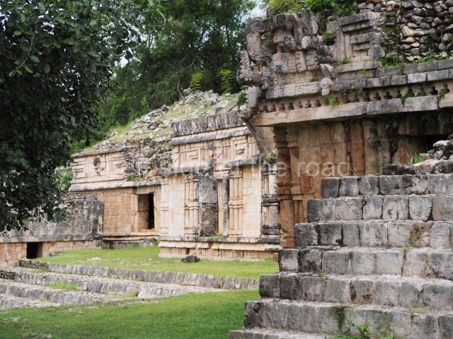
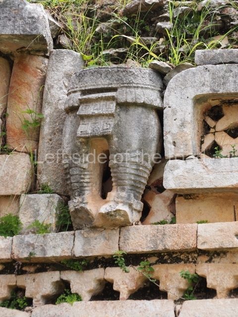
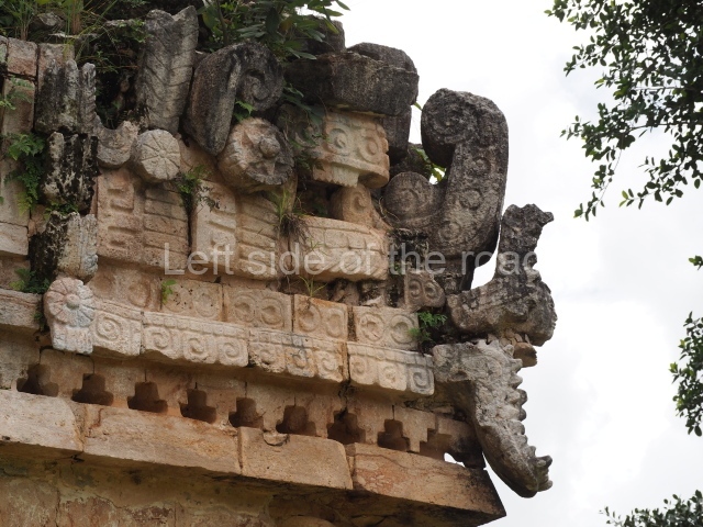
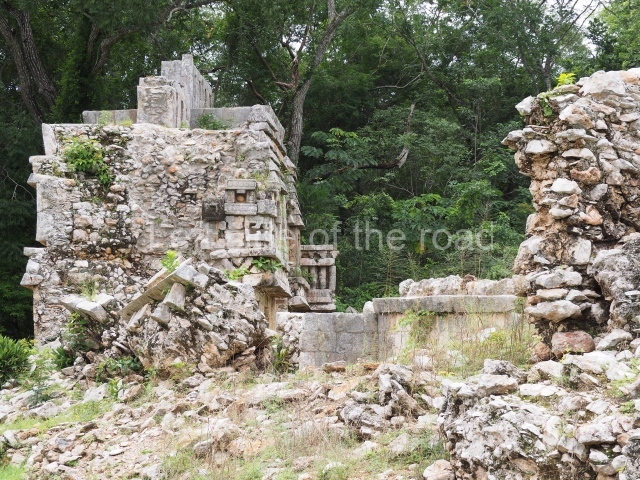
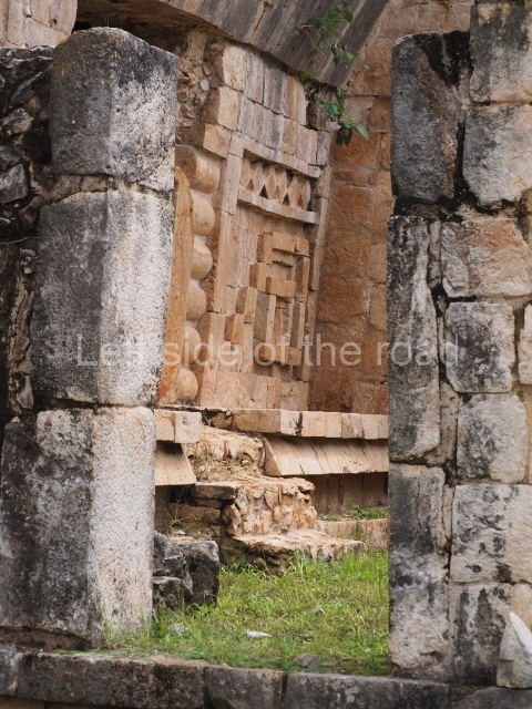
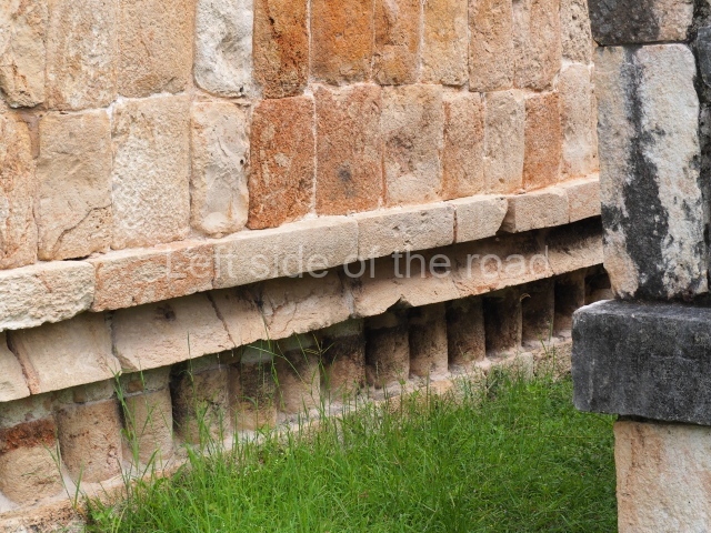
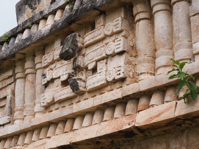
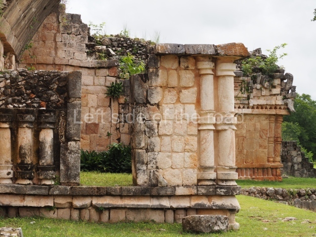
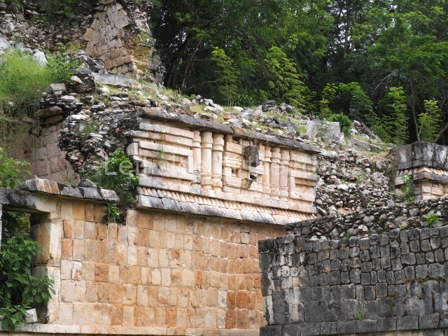
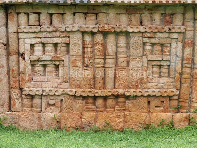
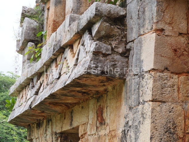
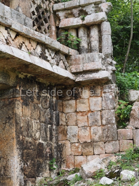
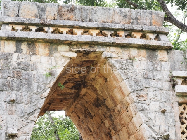
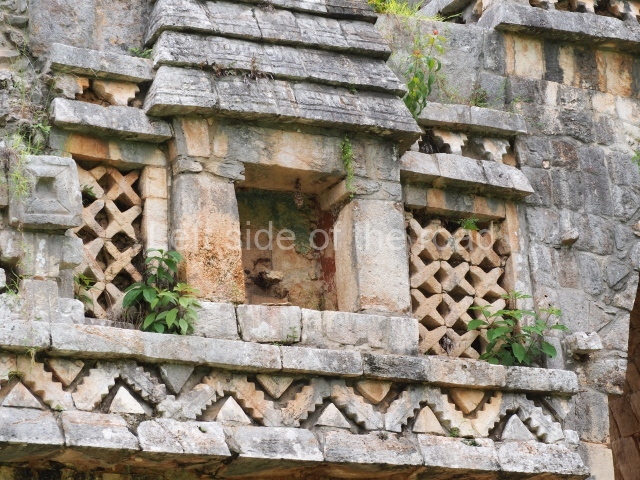
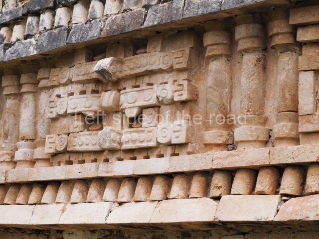
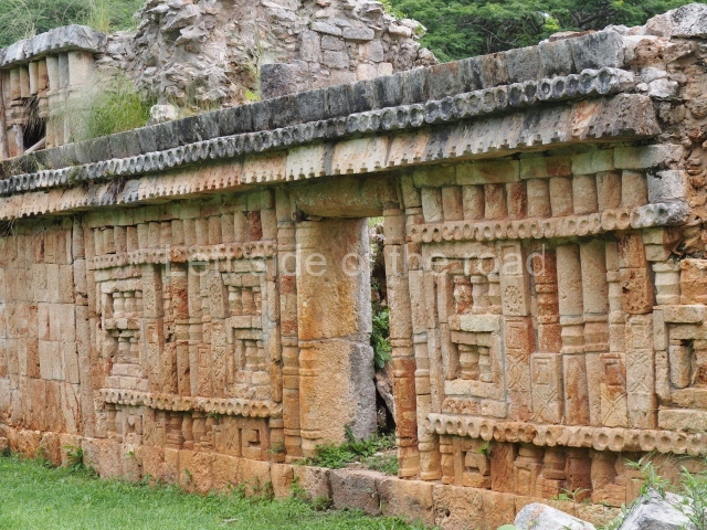
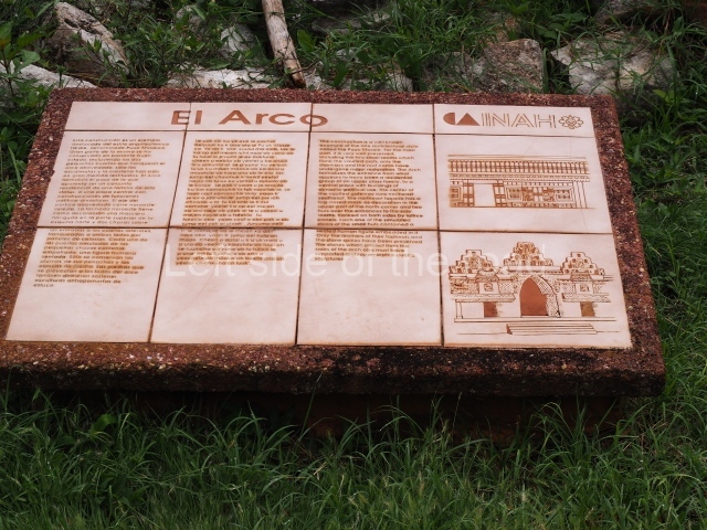
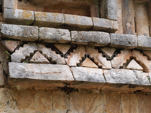
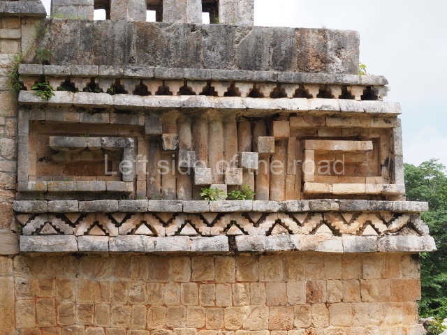
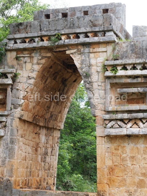
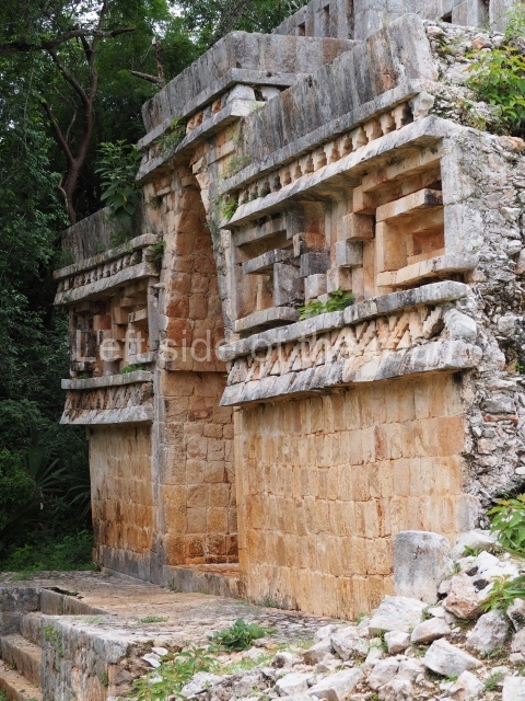
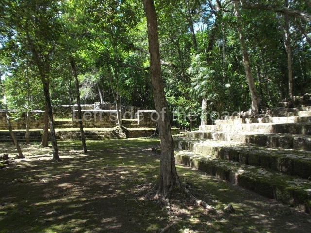
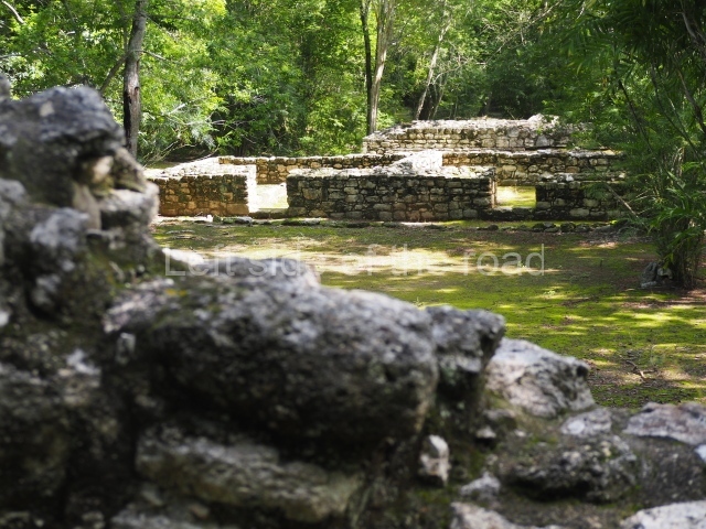
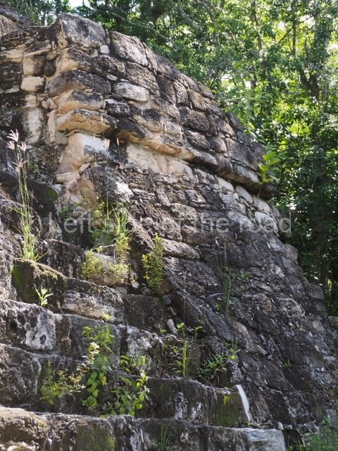
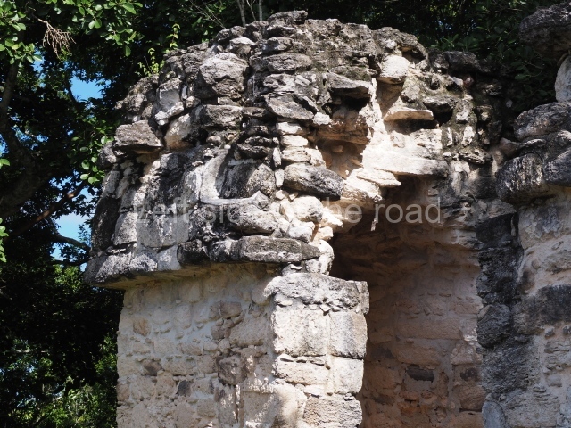
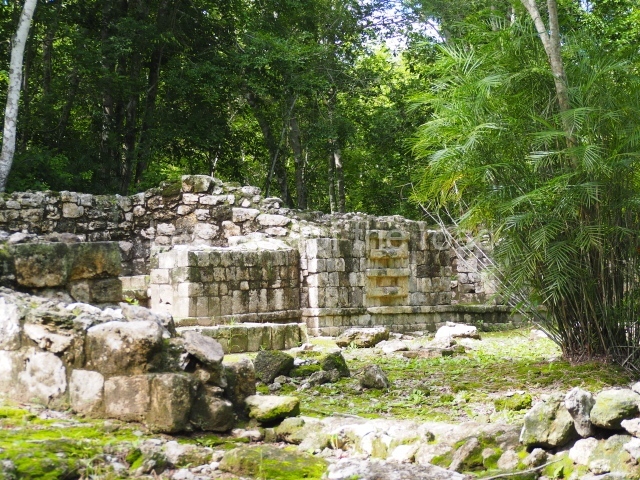
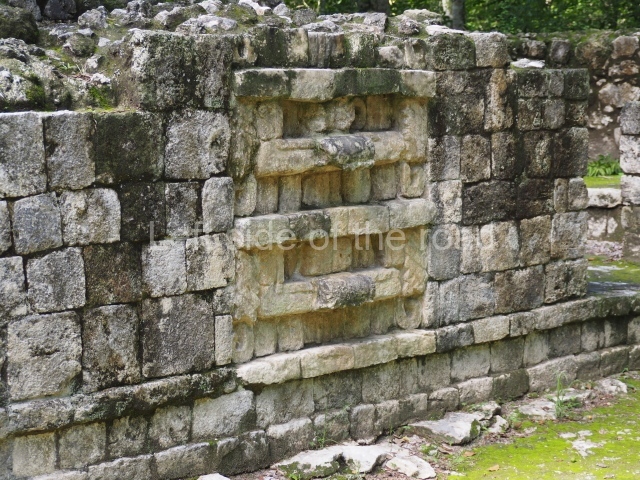
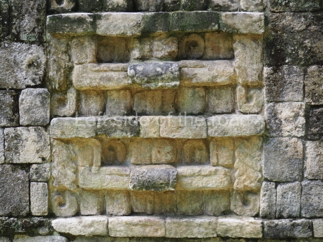
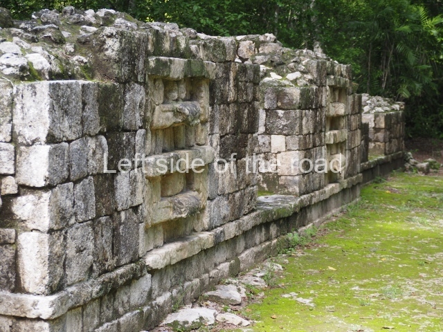
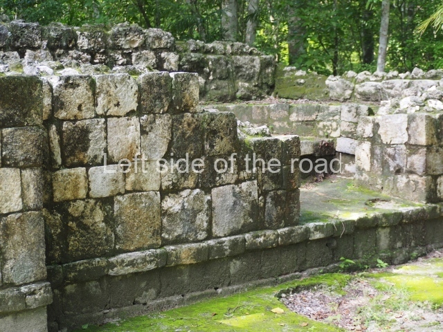
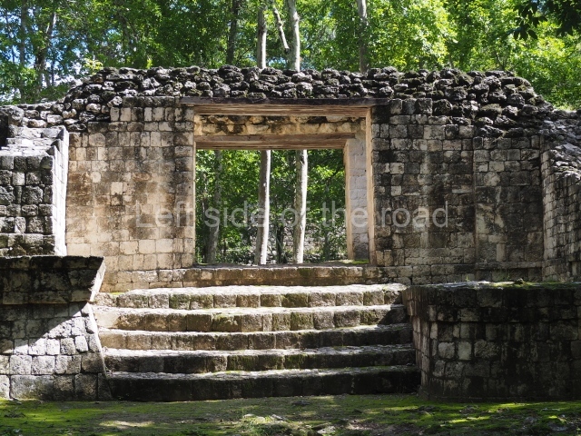
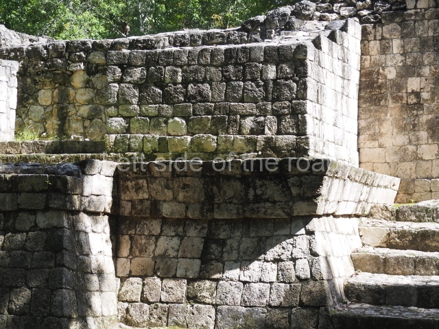
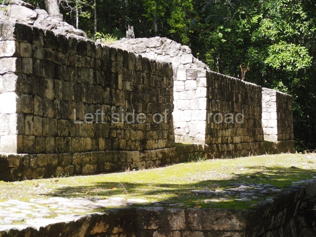
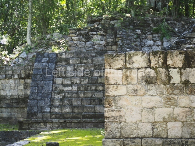
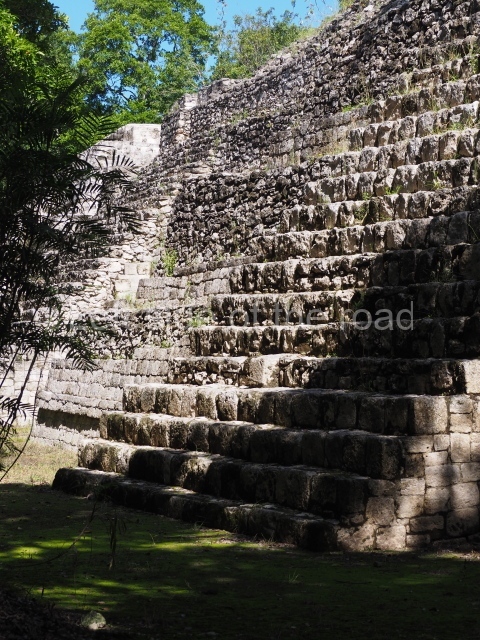
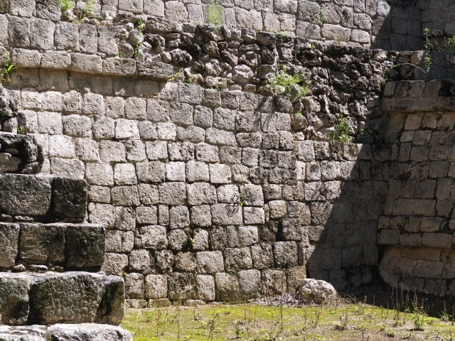
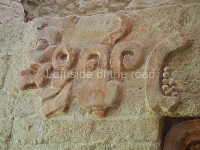
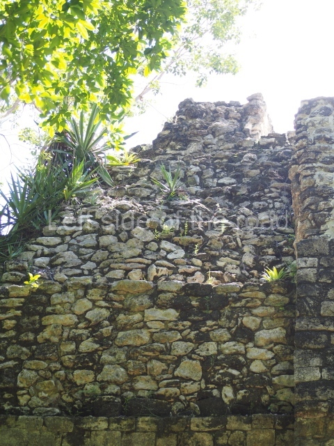
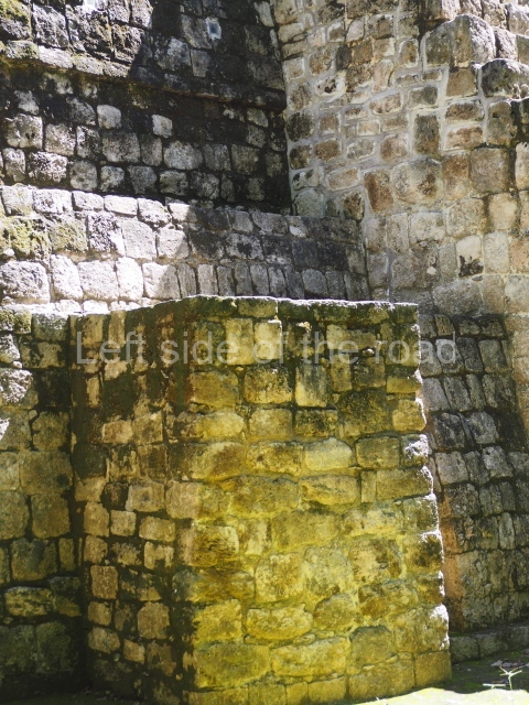
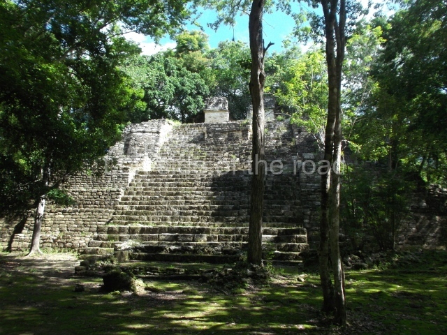
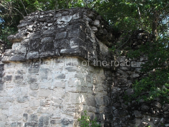
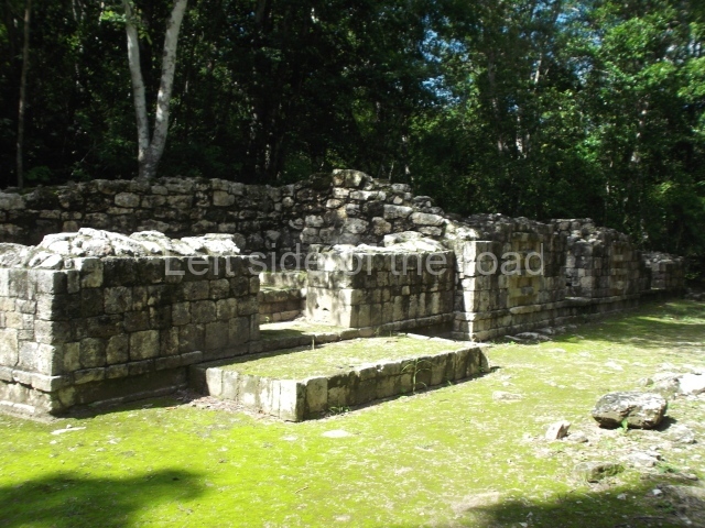
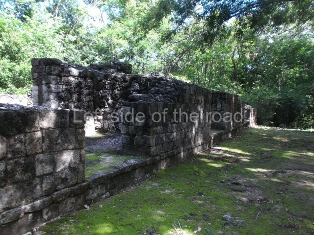
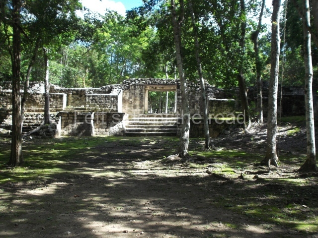
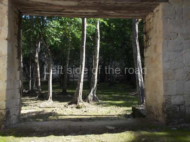
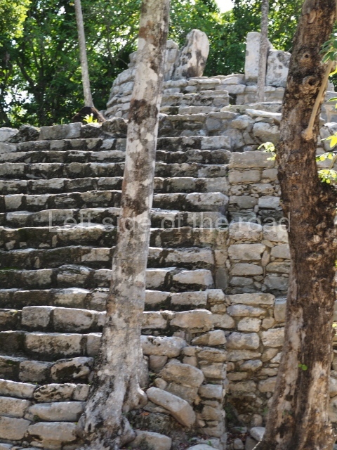
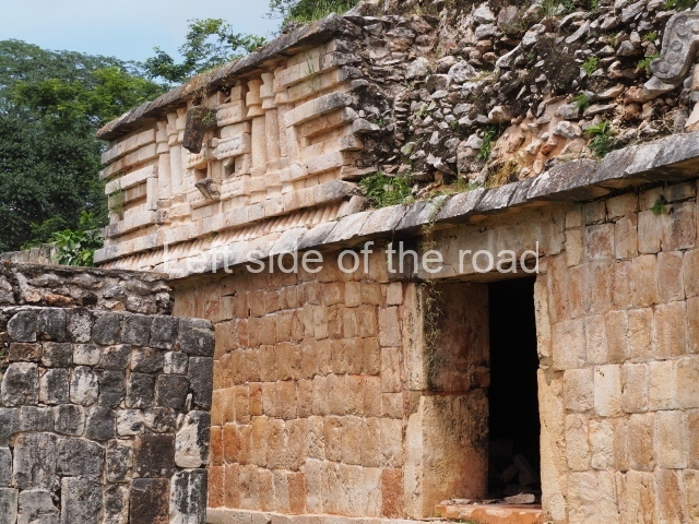
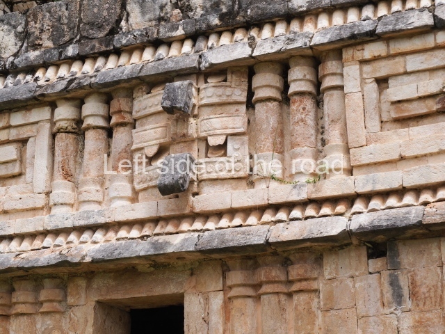
This comprises several adjacent structures, the most outstanding of which in terms of its state of repair and architectural merits is the Arch or vaulted doorway connecting the group to the North Square and the causeway. When Stephens and Catherwood visited Labna over 170 years ago, part of the structure adjoining the Arch was still standing, forming the south wing of the group. This construction survived upright until the first half of the 20th century, and we therefore know that it was a palatial building, with a double bay in the central section and a frieze decorated with tiny columns in the Puuc Colonnette style. Although now in ruins, the buildings on the west and north sides probably date from the same period, including Structure 13, which forms the north-west side of the group, and Structure 12, a circular platform with a monolithic altar which must have originally stood at the centre. The Arch displays several details that suggest it was a late construction, abutted to its neighbours several decades afterwards. Its interior decoration or north-west facade consists of a columnar corner, a mask at the north corner, panels of latticework with two niches where it is still possible to see fragments of stucco-modelled quetzal feathers with traces of green, blue and red pigmentation. The feathers formed part of the headdress of different figures seated in a cross-legged position, of which the only remaining element is the butt which must have anchored them to internal wall of the niche. Above the niches are miniature representations of Maya huts. Visible on the roof are three sections – the highest one in the middle – of a roof comb. This composition bears a great similarity to that of the interior face of the arch leading to the Nunnery Quadrangle at Uxmal. The other side of the Arch displays a frieze with geometric decoration in the form of the stepped frets commonly found in the Maya area and made in the Puuc Mosaic style, which reinforces the theory that the vaulted doorway at Labna is a late construction.
North Square.

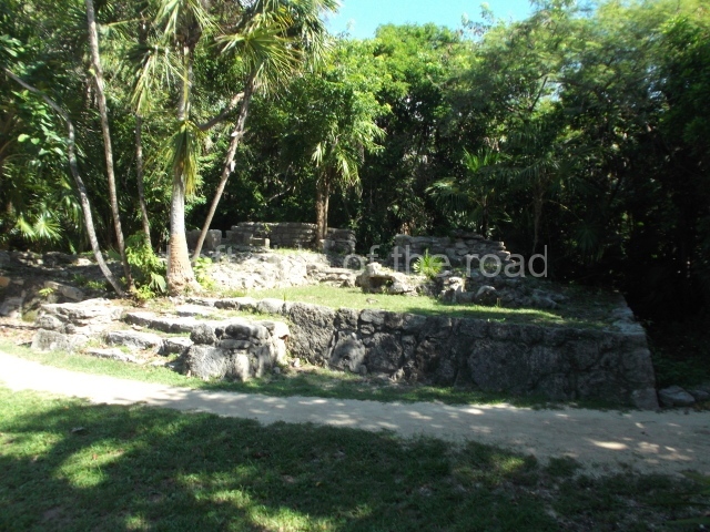
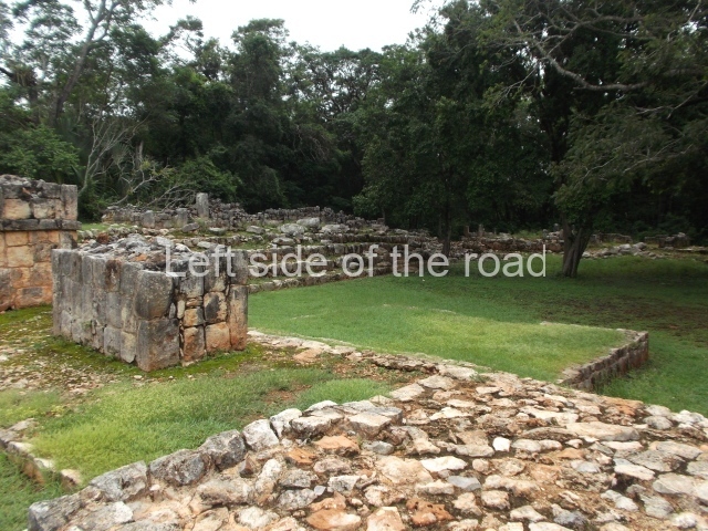
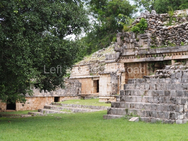
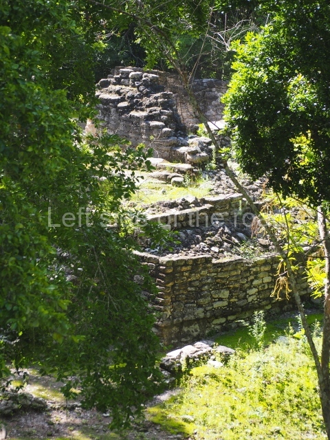
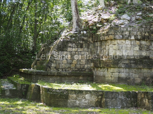
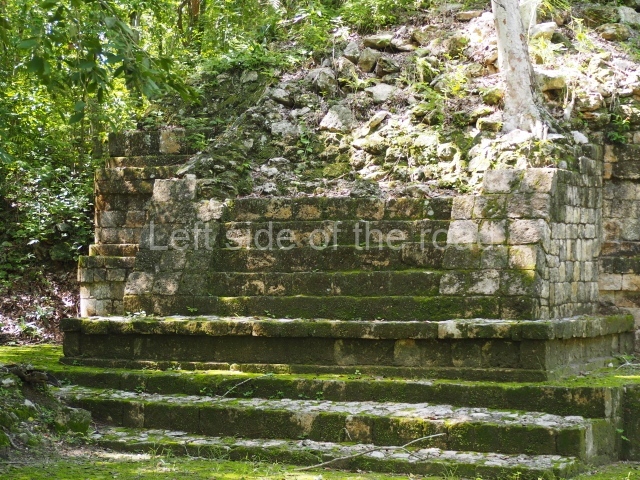
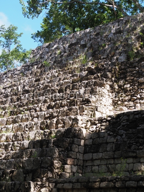
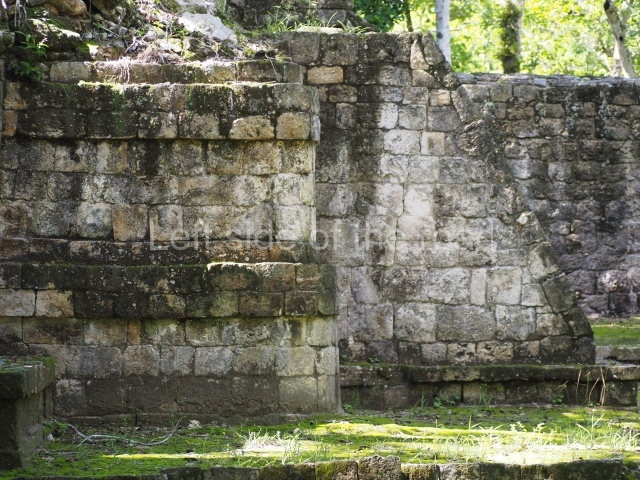
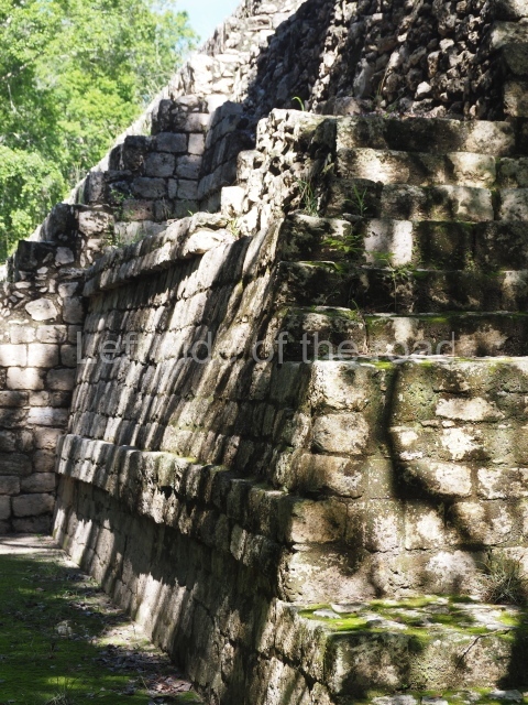
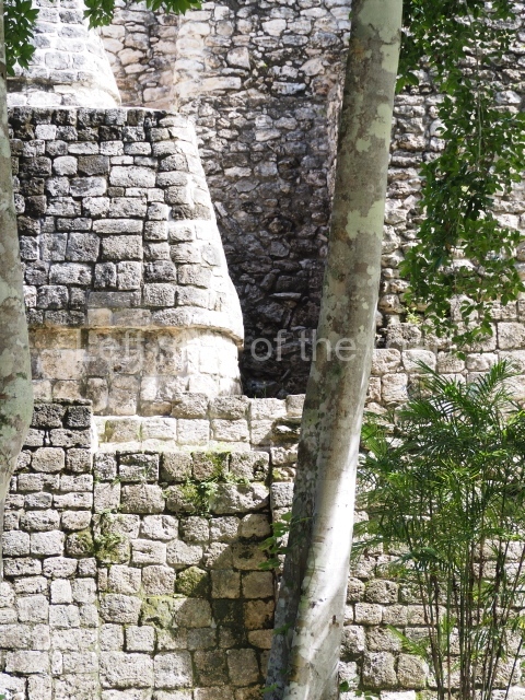
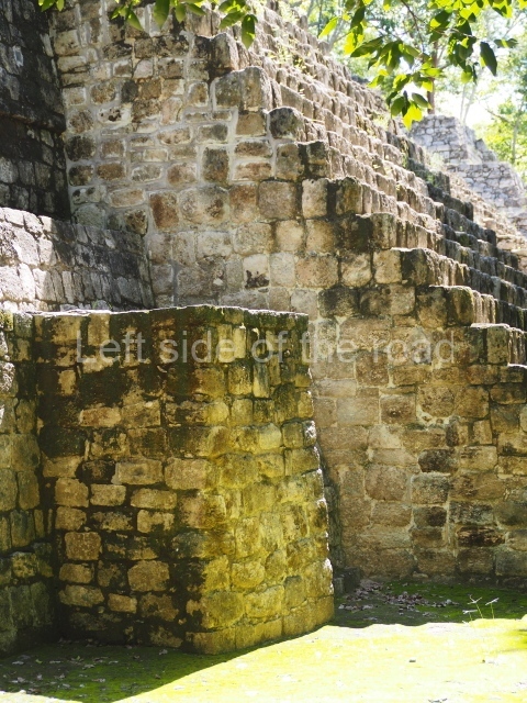
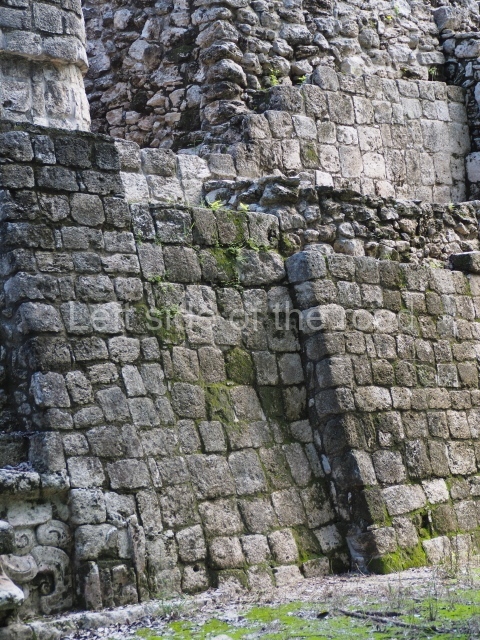
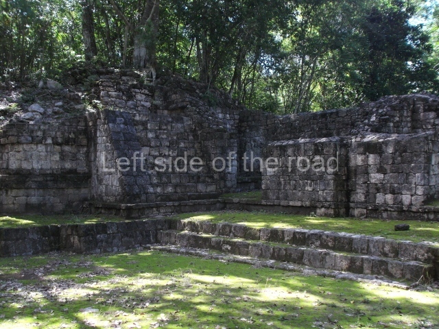
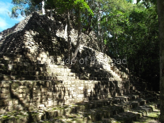
This is composed of the north wing or Structure 8, Structure 7 which seals the east side, Structure 9 on the south side, Structure 10 (a small pyramid that has not been restored) and the Arch that defines its west side. The sacbe or raised causeway links this space to the Palace. On reaching the north wing it adopts the form of a ramp leading to the interior of the square. The east side of the ramp is occupied by the remains of two solid constructions which according to the explorations conducted by the INAH between 1993 and 1997 formed two free-standing towers, similar in shape to the towers at Nocuchich and Chanchen. They once stood over 7 m high and had a stucco decoration affixed to the tower by means of butts embedded in the masonry, like the decorative figures on the Mirador’s roof comb. The remaining structures are open at the front and preceded by columns. The elongated structure that forms the east wing was simply decorated with ‘broken mouldings’ above the entrances, while the structures on the south-east side had friezes decorated with stucco anthropomorphic motifs. Both these constructions and the one that seals the east side had slab stone roofs, which indicates that they are the oldest buildings at the site. The shape and the absence of domestic utensils suggest that this space was used for civic and religious functions and was probably the principal ceremonial precinct at Labna as early as the beginning of the Late Classic. A ramp at the centre of the south wing provided access to the South Square, where there are more early structures preceded by columns; these have not yet been restored but they must originally have formed a single plaza with the North Square.

Mirador Group.

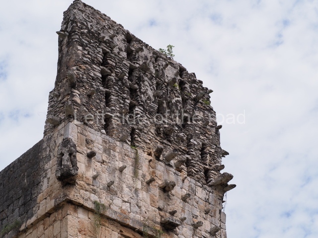
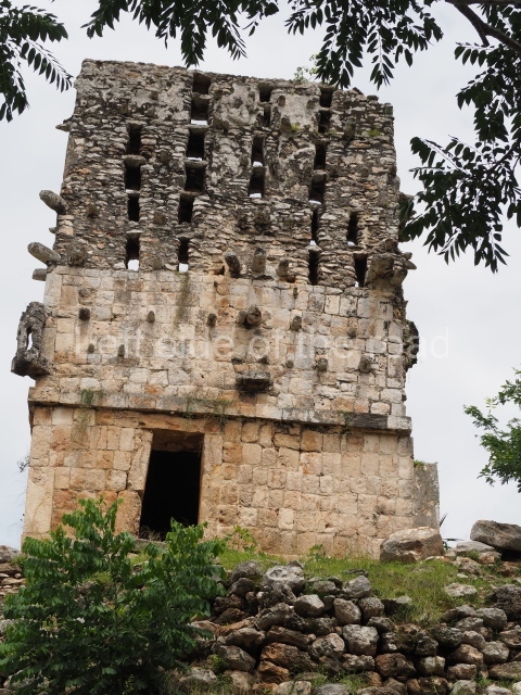
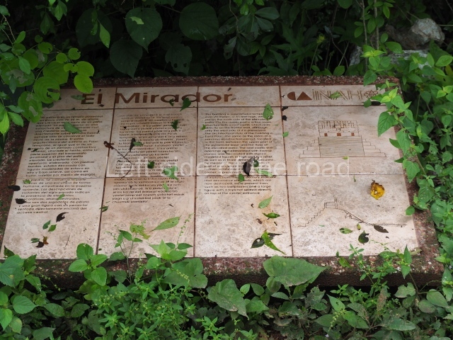
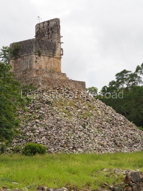
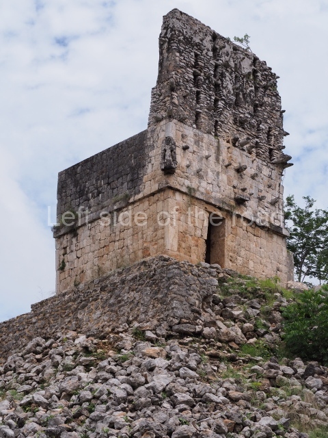
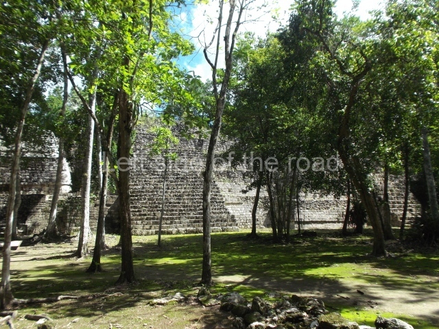
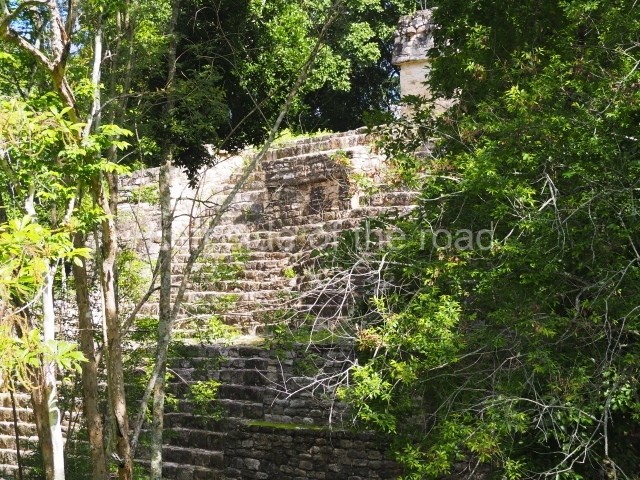
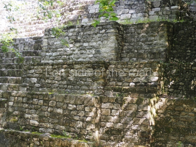
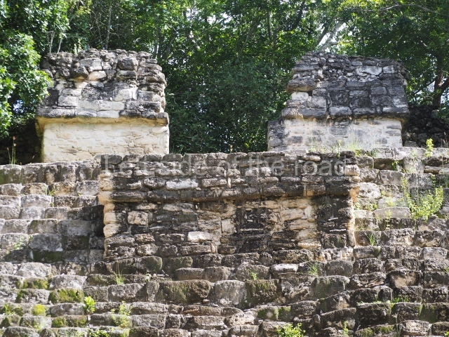
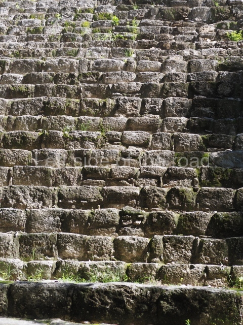
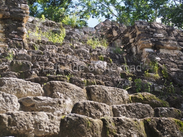
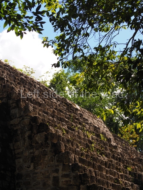
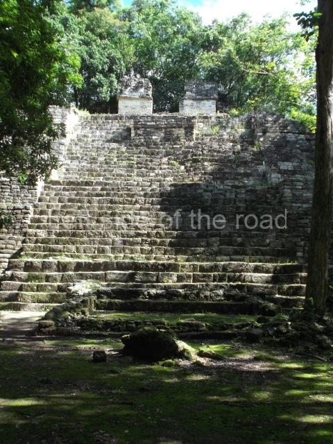
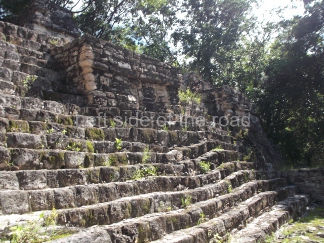
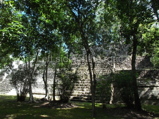
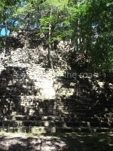
The Mirador is a stepped pyramid and the highest construction in the core area of Labna. Only the western section of the temple at the top of the pyramid has survived. It once had a stairway at the front, beneath which it is possible to see an exposed section of an earlier structure, which was completely covered when the stairway was built. Both the temple at the top of the pyramid and the substructure display the same Early Puuc architectural style, with simple rectangular-shaped medial moulding. The most interesting section of this construction is the roof comb or false facade on top of the roof, which still displays a fair number of butts that supported the stucco decoration and has retained its original height. Visible at the south-west corner of the building is half of a stucco bundle figure wearing a loincloth. There are also fragments of low and high reliefs, most of them anthropomorphic. This construction appears to have had a commemorative function, serving as a type of ‘billboard’ for announcing important events related to the former governors of Labna. Much of the building and its roof comb were still standing when Stephens and Catherwood visited Labna. Thompson also describes two human figures with a ball between them, as well as a large seated figure above the central door, which have now disappeared. The surveys conducted by the INAH’s Labna Project indicated that there is no ball court at this site, which means that the scene with the ball must be a reference to an event at a neighbouring site such as Sayil, where there is evidence of this type of construction. Opposite the Mirador, in the courtyard, is a circular construction and at its centre an altar in the form of a truncated cone. This monolith displays the remains of five anthropomorphic figures carved beneath an upper band of cartouches with hieroglyphic writing which it has not been possible to decipher. This group was accessed from the south side, where the remains of a ramp have been excavated and restored.

Sacbe.

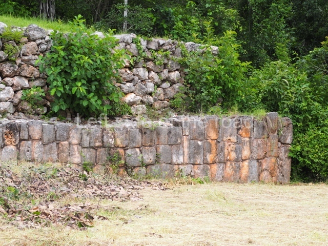
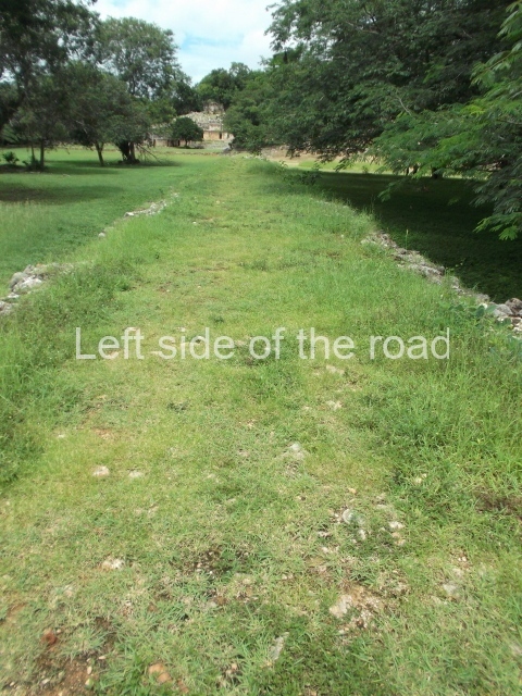
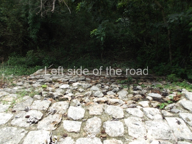
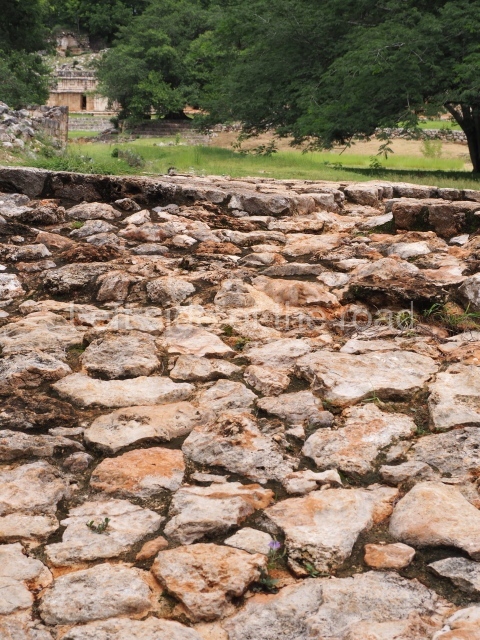
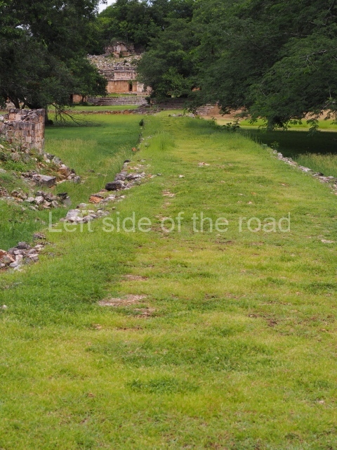
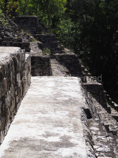
This linear construction connects the Palace, a multi-purpose building, to the North Square and the Arch and Mirador groups, the two monumental precincts that formed the core area of the ancient city of Labna. The excavations conducted prior to its restoration indicated the presence of an earlier causeway, partly dismantled and buried when the new sacbe was built. During its first phase, the causeway led to the Central Wing of the Palace but was subsequently diverted towards the south-west corner of the East Wing of the Palace. The sections still visible today indicate that it was originally lower and a little narrower, and that its retaining walls were made of finely cut stones rather than the coarse ones of its final stage. The south side reached the North Square via a double ramp, whose exterior face (of the north side) was levelled during the final construction phase. During the dry season it is possible to see part of the east side of the ramp, in a hollow next to the remains of the east tower left for this purpose by the archaeologists.

Temple of Columns.

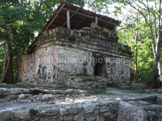
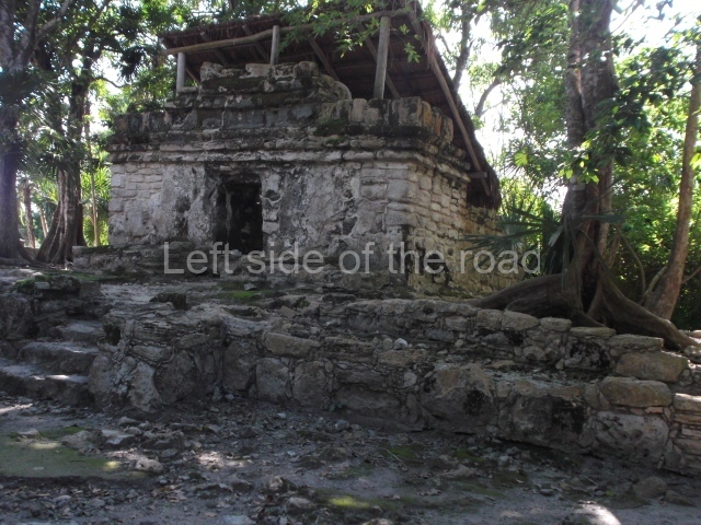
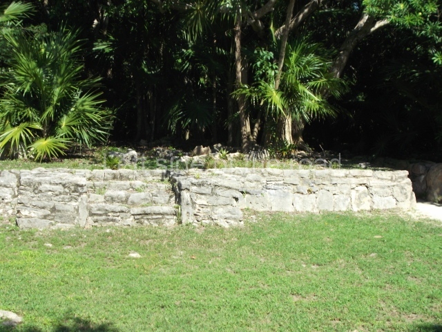
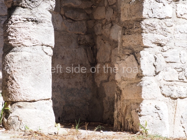
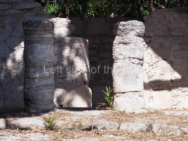
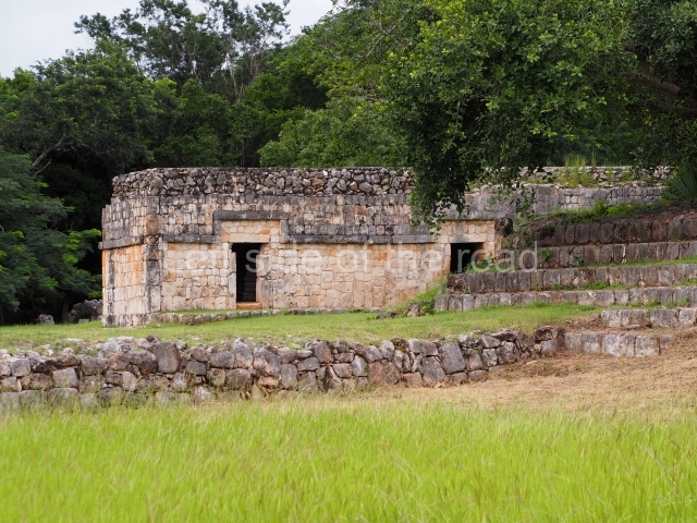
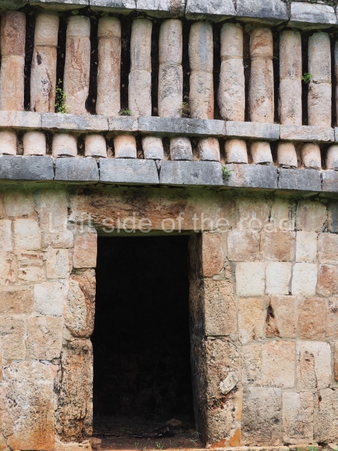
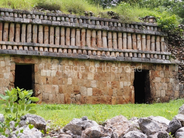
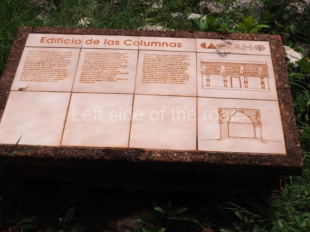
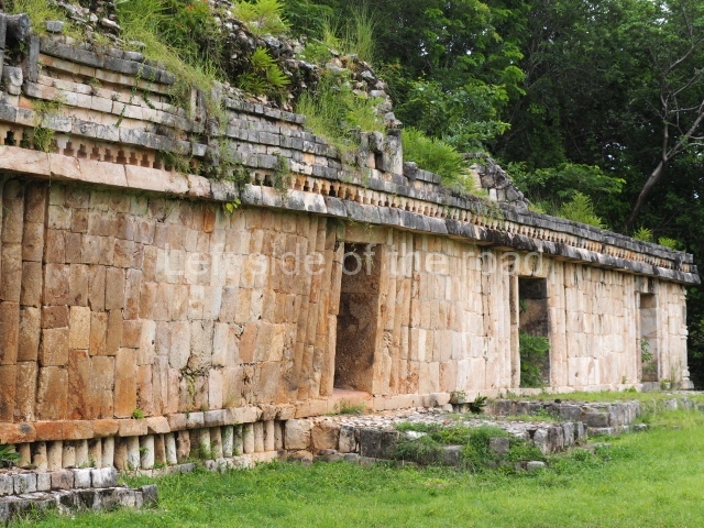
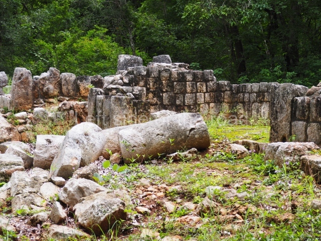
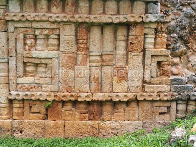
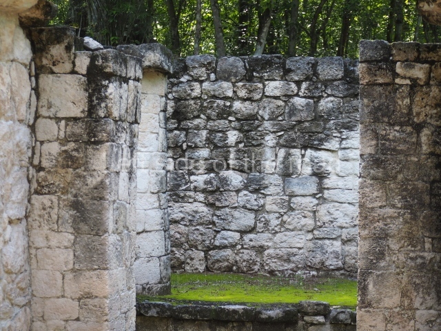
This six-room building situated east of the Palace occupies a rectangular platform approximately 1.5 m high, which has not been restored. The access was on the west side, where there must have been a stairway. Both the front and back display a continuous decoration of tiny columns in the characteristic Puuc Colonnette style. The presence of an underground cistern at the front and service platforms probably used for preparing food at the front and back, both with additional cisterns, as well as its proximity to the Palace, indicate that it must have been the dwelling of a high-ranking family during the Late Classic.

Palace.

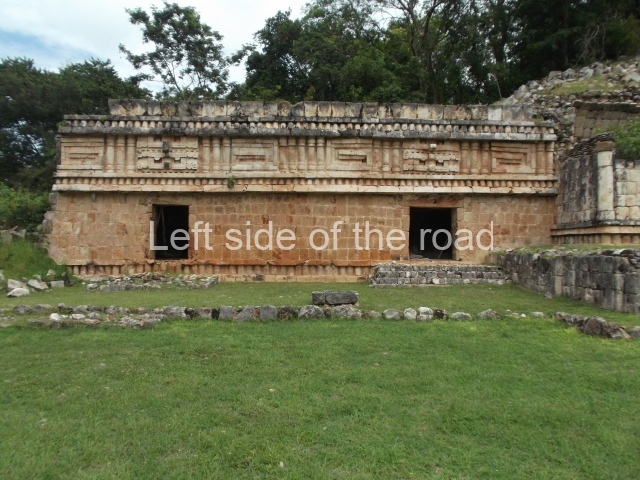
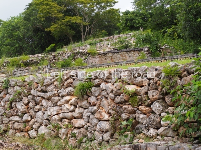
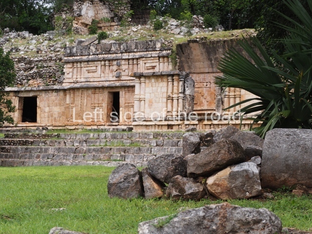
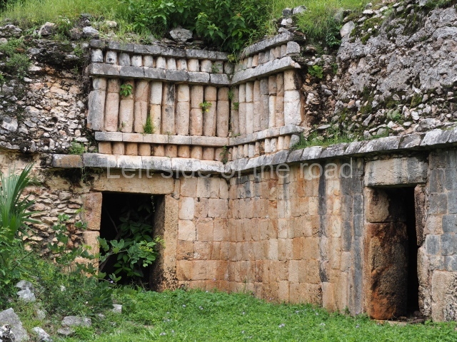
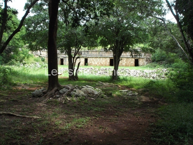
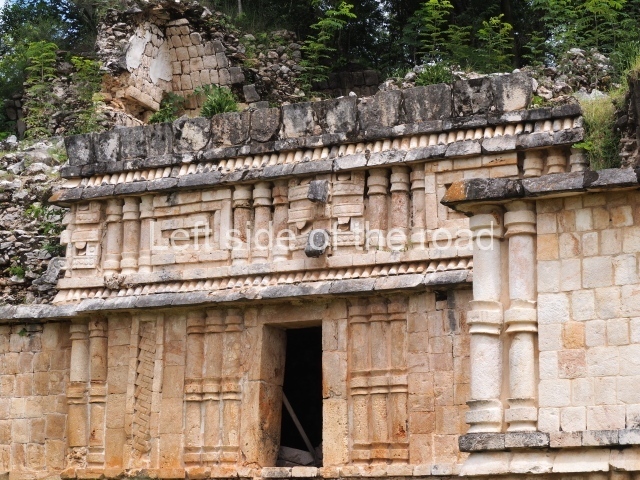
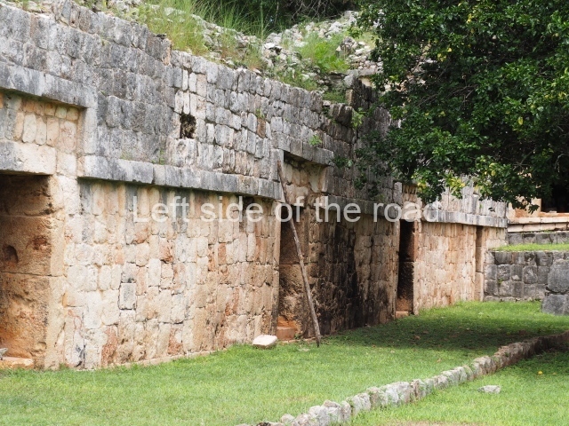
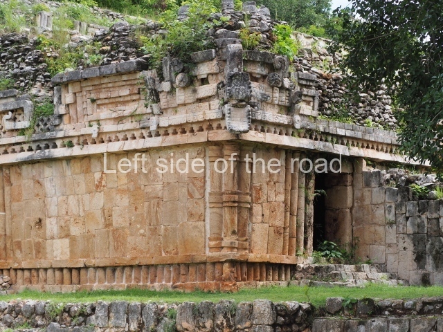
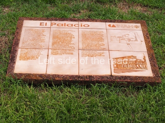
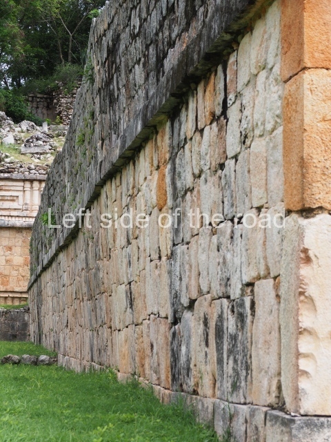
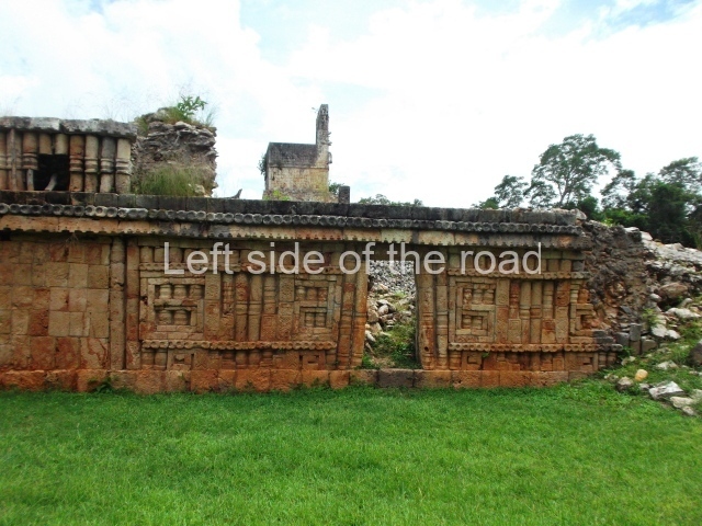
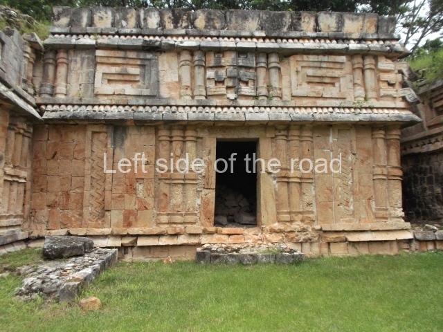
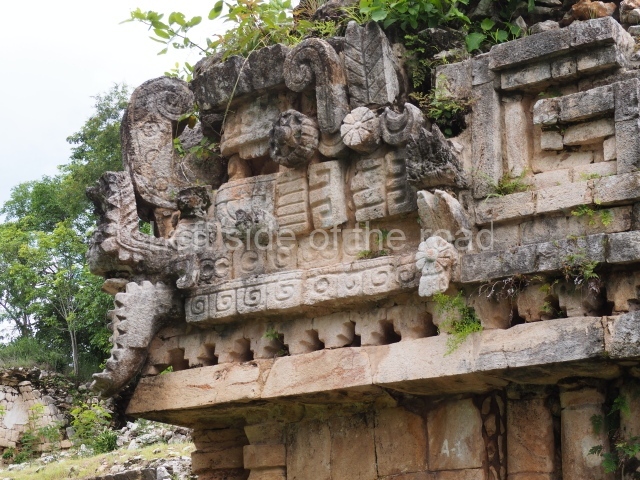
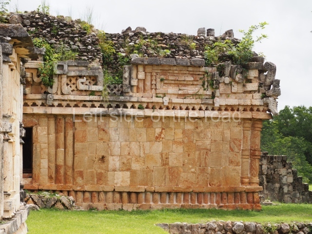
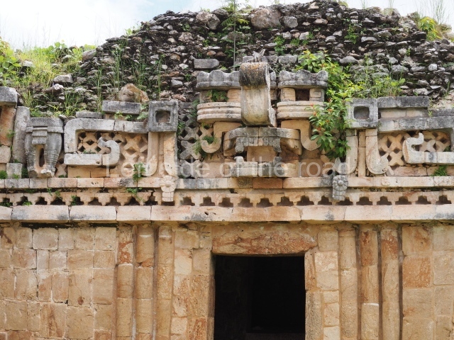
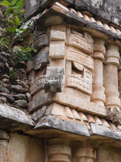
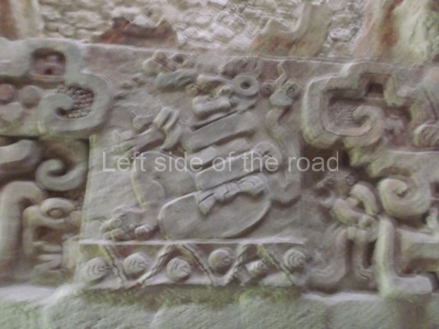
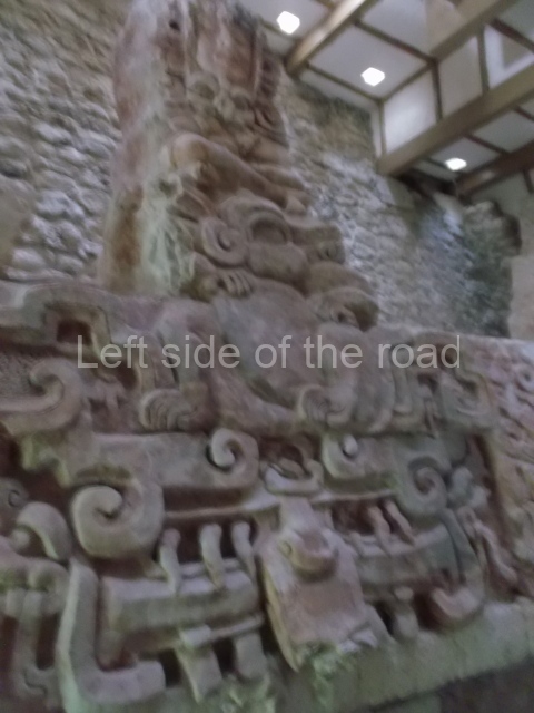
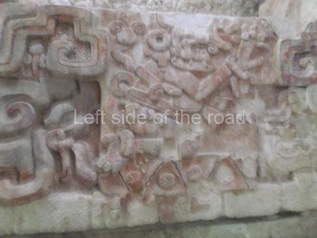
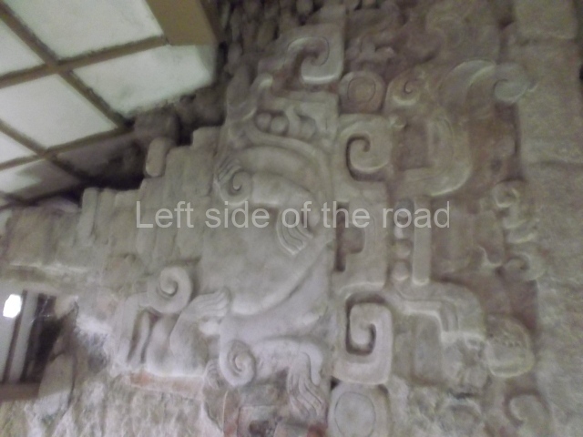
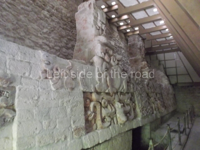
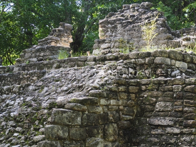
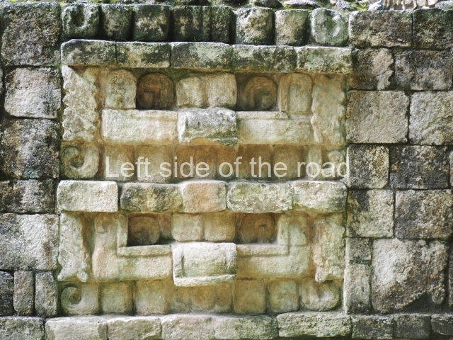
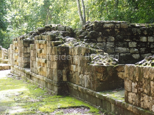
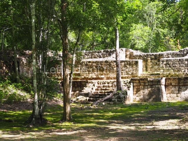
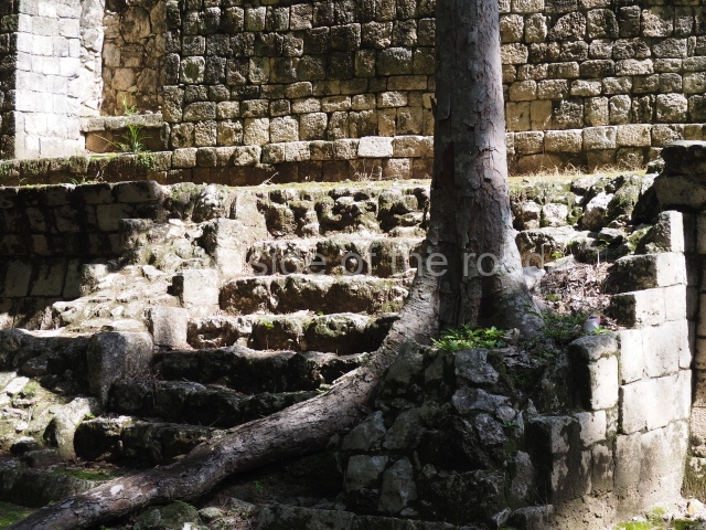
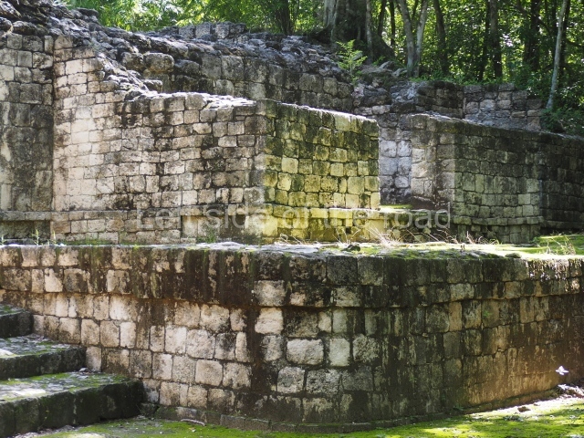
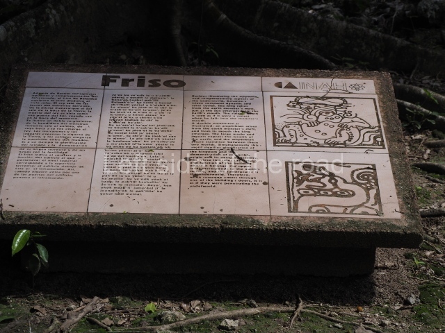
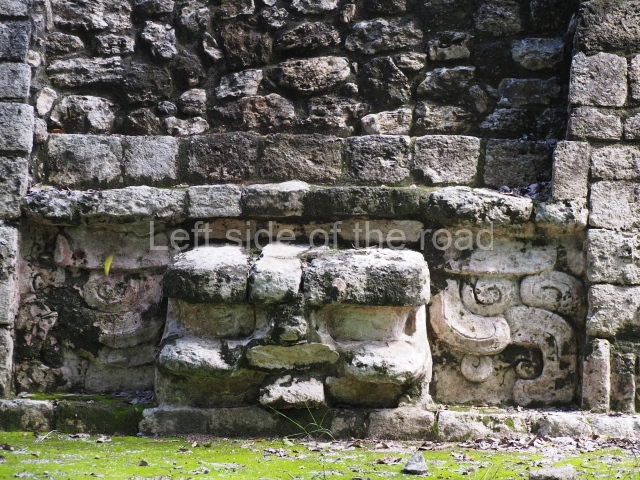
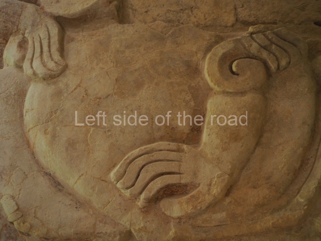
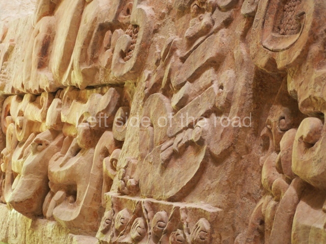
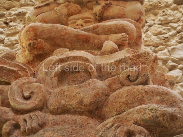
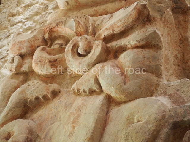
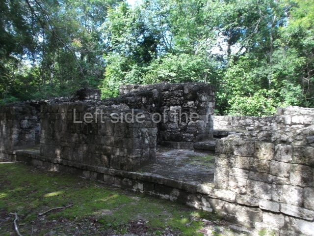
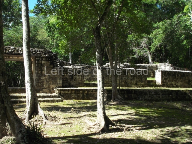
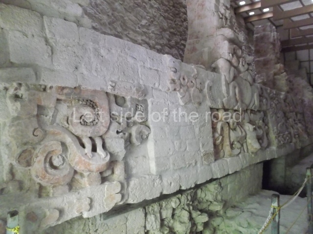
This two-storey construction with 67 rooms is the most important building at the site. Although difficult to believe, several buildings on the top level pre-date the ones on the lower level. This is because the builders levelled and filled a natural hill, using several buildings on the lower level as retaining elements to increase the space at the front of the top level, including the roofs of the buildings. This ingenious building method was used in numerous other multistorey constructions in the Puuc region, filling and levelling to create large terraces on the slopes of karst hills and erect imposing buildings with less effort than if they were constructed on a totally flat surface. The area open to visitors is the lower level, which is composed of the west, central and east wings. Although the structure has yet to be explored in its entirety, the evidence uncovered suggests that it must have had a residential function; even so, the front buildings may have been used for another purpose. Situated in the West Wing are the only building foundations that did not have a corbel vault roof. Similarly, a large quantity of grinding stones and their respective quern stones were found nearby. At the rear of the structure, on the natural surface next to the platform, several caches of broken cooking pots were found. All of this suggests that this must have been the Palace’s service area, where food such as different types of tamales, atoles and tortillas were prepared for the occupants. The Central Wing contains the most elaborately decorated buildings. The excavations indicated that the west building pre-dates the central one, which in turn pre-dates the building on the east side. The west building was constructed in the Early Puuc style, while the north and east buildings correspond to the Puuc Mosaic, a much later style, which means that the time difference between these two must have been much shorter than between them and the west building. The sides of the central building display panels formed by interwoven mats, a symbol clearly associated with the nobility in the Maya area. Other interesting details are the heads carved in the lower moulding and the fact that the interior wall of the room is decorated as if it were an exterior wall and has benches flanking the entrance to the inner room. The decoration of the East Wing is much more elaborate, complex and illuminating. The central motif is a giant long-nosed mask originally flanked by anthropomorphic sculptures; the front of the nose is inscribed with a hieroglyphic date of the tun ahau type, corresponding to the year AD 862. In the southwest corner is a mask with complex symbolism. Although shaped like a reptile, it also has fins, feathers and the open jaws of a lizard revealing a human head inside. On the lower moulding of this corner is a sculpted head. These details, combined with the shape of the building and the dedication date, suggest a ceremony related to the accession to the throne of one of the last rulers of Labna. There are signs that the Palace was undergoing expansion when for some reason the site was abandoned. The north-east wing and sections of the upper level were never completed. There is evidence of unfinished building work at many sites in the mountain region.

Tomas Gallareta

From: ‘The Maya: an architectural and landscape guide’, produced jointly by the Junta de Andulacia and the Universidad Autonoma de Mexico, 2010, pp 367-371.

Labna

Labna

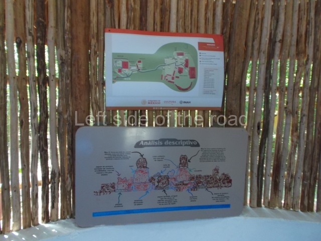
1. Arch; 2. North Square; 3. South Square; 4. Mirador; 5. Sacbe; 6. Temple of the Columns; 7. Palace.

How to get there;

Not easy if you don’t have your own transport. There are no buses or colectivos that run along this road. Although the three sites (Labna, Xlapak and Sayil) are all within a 15km stretch of the road unless you hire a taxi from Santa Elena (expensive) you have to depend upon your wits, imagination and good luck.

GPS:

20d 10′ 26″ N

89d 34′ 46″ W

Entrance;

M$70

More on the Maya

Balam Ku – Campeche – Mexico

Balam Ku

Balam Ku

More on the Maya

Balamku – Campeche

Location

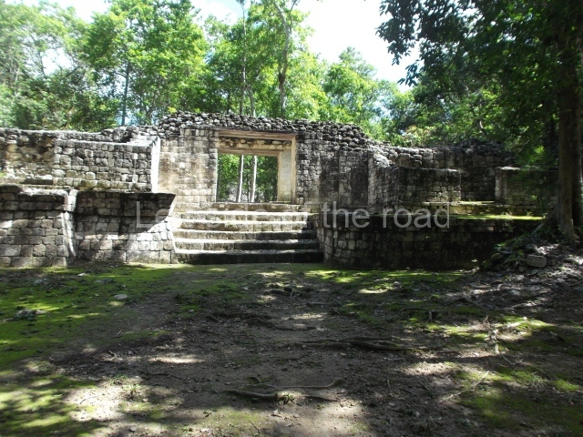
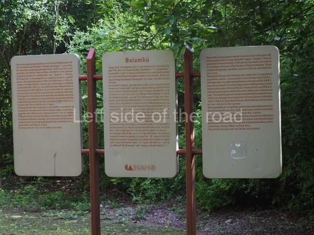
This site is situated 100 km east of Escarcega and 3 km north-east of Conhuas. The distance from Chetumal is approximately 180 km. The archaeological area comprises several architectural groups distributed around medium-height jungle zones. To the north of the buildings open to visitors is an aguada, which had an important function in pre-Hispanic times. The pre-Columbian site was christened by the archaeologist Florentino Garcia Cruz, who made his first survey at the beginning of the 1990s, prompted by various episodes of plundering in the area. The name chosen means temple (ku) of the jaguar (balam), a reference to a striking stucco motif at the site.

History of the explorations

Garcia Cruz and Ramon Carrasco of the National Institute of Anthropology and History (INAH) were the first people to study the site and define the archaeological area. Carrasco conducted work on several constructions in the central architectural precinct and restored the volume of the building containing stucco-modelled elements. In 1995 a team of French researchers led by Dominique Michelet and Pierre Becquelin embarked on a series of excavations and consolidated various buildings in the South Group.

Timeline, site description and monuments

The occupation of the Maya city stretches from several hundred years prior to the Common Era to approximately the 10th century AD.

South group.

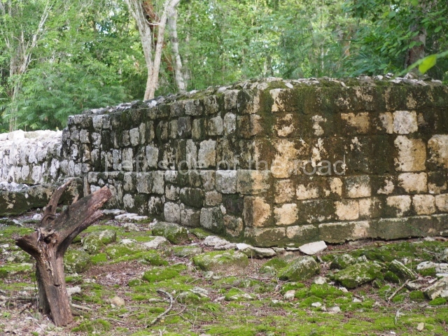
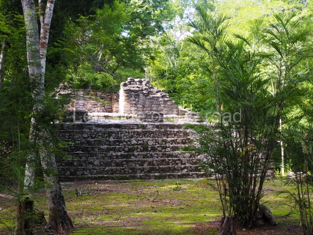
In the middle of this area stands a pyramid platform approximately 10 m high. The various buildings arranged around it form four plazas. The pyramid was built during the Early Classic (AD 250-600) and was subsequently covered by another one; although this later construction has not survived, its fillings facilitated the preservation of the present day monument. The upper part is occupied by a temple whose facade provided the basis for a giant zoomorphic mask – one of the earliest examples of this type of facade in the region. This important architectural feature, symbolising the powerful deity Itzamnaaj, gradually evolved to cover entire building facades. The finest and best-preserved examples of whole zoomorphic facades can be found at Chicanna in southern Campeche and Tabasqueno in the Chenes region. The northern section of the South Group contains several examples of elite dwellings: masonry constructions clad with carefully cut veneer stones and even forming stacks of masks around the main entrances. Various of the rooms have broad benches. The constructions are situated at the cardinal points and form rectangular plazas, in keeping with the typical Mesoamerican pattern.

Central group.

This comprises 30 or so monumental buildings distributed around three large plazas. Explorations have been conducted on several buildings that indicate the entrance to the architectural group and beyond them three pyramid platforms whose sides are now abutted as a result of their gradual expansion. The early constructions are clad with carefully cut veneer stones in the Rio Bec style; it is still possible to see rounded corners, masonry columns at the entrances to rooms, some with benches, but the vaulted roofs and elaborate stairways flanked by balustrades have been lost. We then proceed south to a plaza whose west side displays a broad stairway leading to a large building that has not yet been explored. Three platforms stand at the north end of the plaza. The excavations conducted confirmed architecture principally of the Peten style, developed during the early centuries of the Common Era.

Pyramid platform in the north-west section.

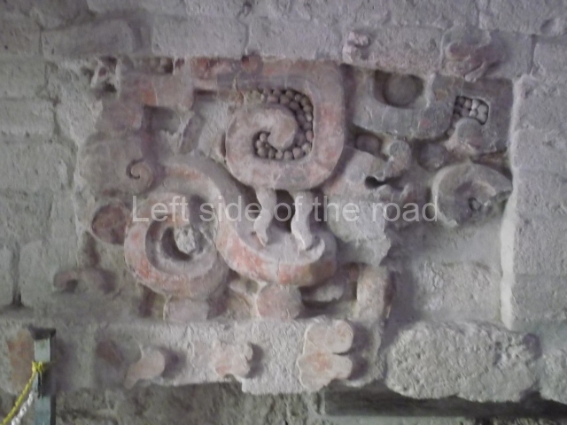
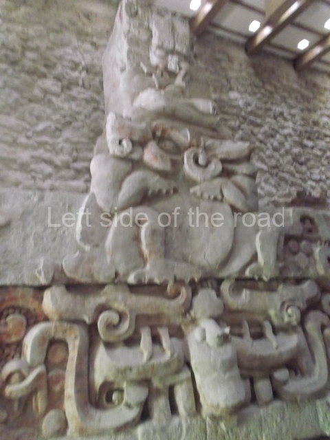
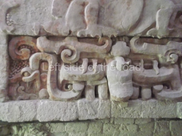
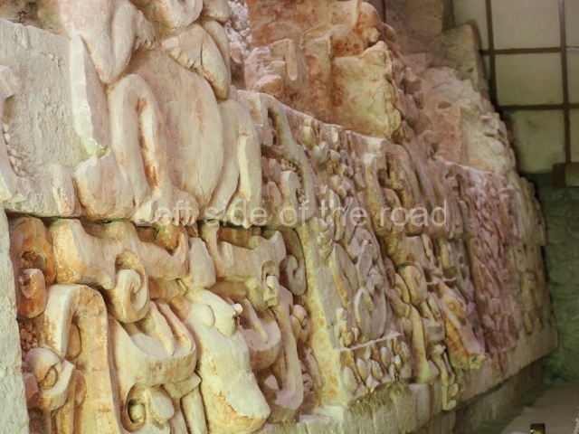
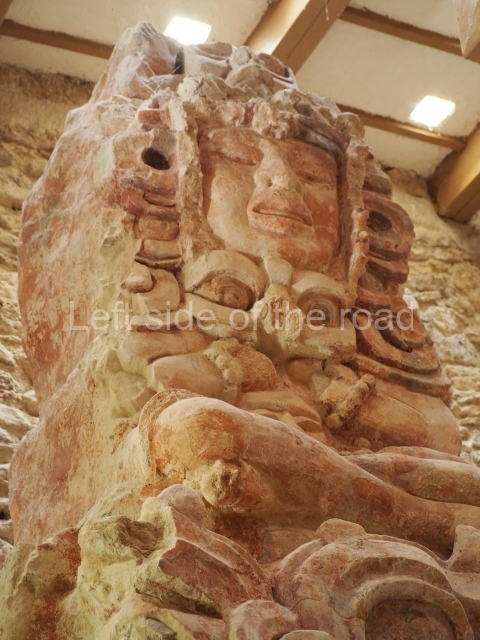
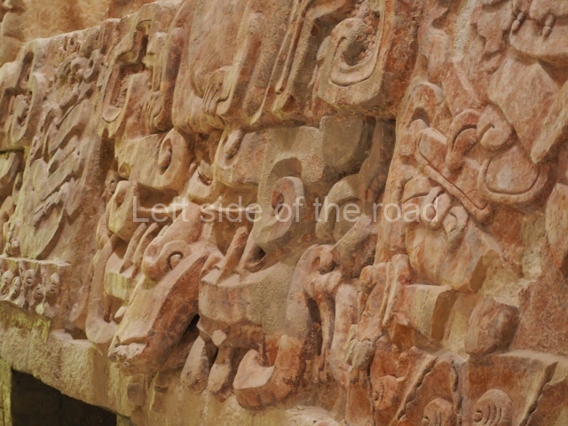
It was this structure that led to the original exploration of the site. Various episodes of plundering had dismantled the final construction stage, exposing a large proportion of a sub-structure whose frieze had once been decorated with interesting stucco-modelled motifs. The various elements have preserved most of their original colour, which is mainly red, but there are also traces of cherry red, black and blue. The motifs found in this building correspond to the frieze of its main facade. These are situated above three entrances and symbolically display opposing and complementary aspects of the ancient Maya world view. Originally, the lower section of the frieze depicted four imposing images of Cauac or the Earth Monster, one for each cardinal point. These alternate with images of jaguars, animals associated with the underworld. The upper part of each Earth Monster has a large crack, from which sprout toads on the left and crocodiles on the right. The reptiles and amphibians evoke the damp, fertile earth, recalling the original sea from which the legendary Maya world emerged; they represent the transition between the abode of the gods and that of human beings. From the amphibians’ jaws sprout sacred lords, the governors of the Classic period, seated on jaguar skin thrones. These are flanked by the stems of water lilies or other flowers, elements that indicate abundance because high-ranking officials were responsible for providing their subjects with well being and everything they needed. The dignitaries’ headdresses are poorly preserved but must have displayed zoomorphic figures associated with deities. Overall, the frieze shows the emergence of a legendary world of governors closely tied to the deities and their powerful religious symbols. Balamku had stone hieroglyphic inscriptions but to date only a few greatly decayed stelae have been found.

Importance and relations

The extraordinary stucco frieze at Balamku is one of the finest examples of the Early Classic iconography of the Maya world. It tells us of the governors’ complex world view and their association with a supernatural world from which they believed their political authority emanated. To a certain extent, the stucco motifs are comparable with those of the frieze at Placeres, a site in the southernmost part of Campeche; this frieze is thought to have been dismantled by plunderers but has fortunately been recovered and is now on display in the Maya Room of the National Museum of Anthropology in Mexico City. Meanwhile, the monuments at Balamku demonstrate the site’s former influence over the surrounding area, where it coexisted alongside other important sites such as Becan, 40 km to the east; Oxpemul and Calakmul, in the south; Silvituc, around and on the island in the Centenario Lagoon, 40 km to the west; and Nadzcaan, a vast city situated some 25 km to the north.

From: ‘The Maya: an architectural and landscape guide’, produced jointly by the Junta de Andulacia and the Universidad Autonoma de Mexico, 2010, pp324-326.

Balam Ku

Balam Ku

1. Plaza A; 2. Plaza B; 3. Plaza C; 4. Plaza D.

How to get there:

There are 4 or 5 buses, each way, which do the run from Xpuil and Escarcega, passing through the settlement of Conhaus. The approach road to the site is to the west of Conhaus. Then there’s a just under three kilometre walk to the site.

GPS:

18d 33′ 42″ N

89d 57′ 06″

Entrance:

M$70

More on the Maya

Lamanai – Belize

Lamanai

Lamanai

More on the Maya

Lamanai – Belize

Location

This site is situated on the west bank of the New River lagoon. It is the second-largest site in Belize and, due to its extraordinary setting and architecture, one of the most visited. It is located in an archaeological reserve covering nearly 4 sq km. The name of the site is registered in Spanish sources as Lamanay and Lamayna, possibly a reference to Lama’anayin, which means ‘submerged crocodile’. The same sources also mention the Mayan name for the New River, Dzuluinicob, which Awe translates as ‘strangers’. Lamanai has restrooms, souvenir shops and a largish visitor centre/museum.

Pre-Hispanic history

Lamanai boasts the longest sequence of occupation in Belize: from 900 BC to AD 1675. However, this sequence was not continuous – in AD 1554 the Spaniards arrived and controlled the site for nearly a hundred years until the local population staged an uprising in 1640 and renounced their Christian beliefs. During this period, which can be regarded as a hiatus, the inhabitants of Lamanai struck an alliance with the people of Tipu, an important city in the Cayo district, a few kilometres south of Lamanai.

Site description

A tour of this site is extremely enjoyable, taking in the temple of the Masks, the Great Temple, Complex N10, the residential groups, the ball court, the Christian church (16th century) and the site museum. If you have the time and are interested in industrial archaeology, it is worth taking the walk to the 19th century sugar mill a little further south.

Temple of the masks (N9-56).

This is situated in the northern section of the site. The masks on the facade are unique in that their construction technique differs considerably from that used for other Maya masks. Instead of being modelled in stucco on a stone armature, they are made of blocks of limestone and then with a thin layer of grey stucco. Each anthropomorphic face has a headdress representing a crocodile. The presence of this symbol possibly validates the site name registered by the Spanish: Lamanay, ‘place of the crocodile’. Its construction commenced in 200 BC and it was remodelled on several occasions until AD 1300. Inside the temple is a sub-structure from the Preclassic with masks like those found in Structure 5C-2nd at Cerros. Two tombs, one of a male and the other of a female, were found inside the building. The male’s grave goods comprised objects of jade and shell, various textiles, matting and artefacts made of perishable material.

Great Temple (N10-43).

At 33 m, this is the highest structure on the site. The earliest construction, dated to around 100 BC, was of the same height. The building remained largely unchanged until AD 700 and was then abandoned around AD 900. Subsequently, during the Early Postclassic, an offering was placed inside the structure. Complex N10 is a group of residential and administrative structures. The dominant structure of the complex is the building (N10-9) known as the Temple of the Jaguar, built during the Early Classic and remodelled in the Late Classic and Postclassic. At the foot of the stairway are various small altars, the latest additions to the temple dating from after AD 1400. Structures N10-1, 2, 4 and 7 correspond to the Late Classic and Postclassic and had domestic and ceremonial functions. South of Complex N10 lie the main residential groups, which were still inhabited when the Spaniards arrived. These residences accommodated the Lamanai elite. The scattered layout of the houses is very similar to that found in the present-day towns and villages.

Ball Court

In terms of the play area, this is one of the smallest courts and yet it boasts the largest-known marker. A highly unusual offering was found below the marker: a lidded vessel containing miniature vessels and other objects, placed in a pool of mercury. This was the first time that mercury had ever been found in the Maya lowlands and the find was therefore unique. East of the court stands a small temple (N10-27) where Stela 9 was found, face down at the bottom of the temple stairway. Dating from the Late Classic, this is the only stela that was found in its original place. The figure represented is an ancestor of one of the most important Lamanai rulers, Smoking Shell. The stela commemorates the end of year (tun) 7 Ahau 3 Pop and the anniversary of Smoking Shell’s reign. The festivities to mark the occasion took place on 7 March 625 (9.9.12.0.0). The remains of five infants without any traces of violence were found at the foot of the stela. As Awe points out, this offering must have had a special significance because it is unusual to find infant burials associated with the erection of monuments. The original stela can now be found at the entrance to the site museum, which accommodates a collection of artefacts discovered during the excavations. The most outstanding pieces are the Postclassic polychrome ceramics and the eccentric flints.

Christian church.

Known as the Indian Church, this was built by the Spanish with masonry from the pre-Hispanic constructions. The massive walls with their large angular stones are representative of 16th century European architecture. During his excavations, Awe found a cemetery and evidence that in 1544 the Spanish had built an earlier church in the upper part of the one of the temples. In the mid-19th century the area was given over to sugar production. At Lamanai there are remains of a sugar mill with machinery imported from New Orleans in 1868. According to Kelley, the mill was abandoned around 1883 and the area was subsequently exploited for timber until the 1970s.

From: ‘The Maya: an architectural and landscape guide’, produced jointly by the Junta de Andulacia and the Universidad Autonoma de Mexico, 2010, pp271-272, pp274-275.

Lamanai

Lamanai

  1. Temple of the Masks; 2. Great Temple; 3. Ball Court; 4. Temple of the Jaguar.

How to get there;

From Orange Walk. Not easy, especially if you visit during the rainy season and you don;t have access to a 4×4 vehicle. Almost certainly the most convenient, and most attractive, way is to travel by boat from just south of Orange Walk which takes you on a tortuous route through the many channels of the New River to the site, taking in along the way the local wildlife, especially the birds but also crocodiles and turtles. These can be organised locally and cost in the region of B$110 for an excursion which includes transport from your accommodation, the boat trip, lunch and entrance to the site – all accompanied by a local guide.

Entrance;

Included in the tour price but would be B$10 if you arrived independently.

More on the Maya