Iximche – Tecpán – Guatemala

Iximche

Iximche

More on the Maya

Iximche – Tecpán

Location

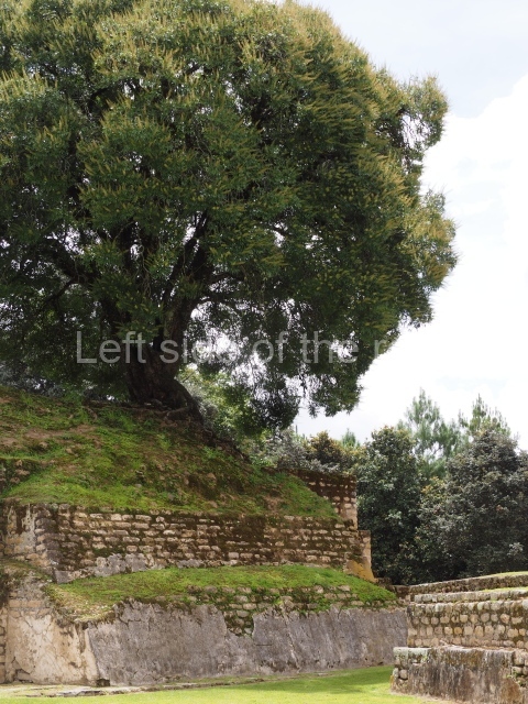
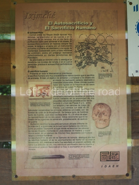
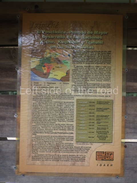
The archaeological site is situated 90 km from Guatemala city, in the department of Chimaltenango, and 5 km from the town of Tecpán. It occupies an upland area some 2,260 m above sea level, and the predominant climate is therefore mild to cold. The Iximche citadel sits atop a hill called Ratzamut, surrounded by deep ravines. Coniferous forests, principally pine and cypress, are the predominant vegetation. There is usually a cool wind blowing which on striking the trees produces a pleasant, relaxing sound. Iximche is a Caqchikel word meaning ‘place of maize trees’, the predominant species in the central Guatemalan Highlands. This city was the capital of the Caqchikel kingdom between the late 15th and early 16th centuries. It was founded in 1470, after the Caqchikel Maya, the former allies of the K’iche’s, were expelled from their land as a result of various internal conflicts. In keeping with the Postclassic custom, they sought a base on a high plateau with defensive properties, in the middle of a fertile crop-growing region populated with woodlands. This base soon gained a larger population.

Pre-Hispanic history

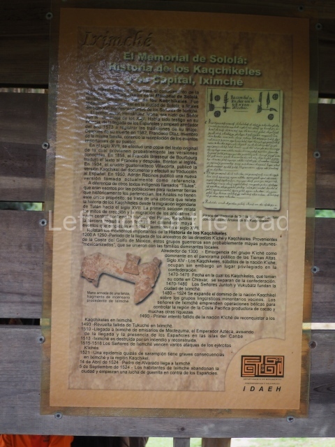
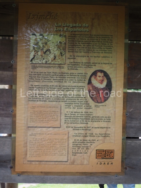
The prosperity of Iximche was relatively short, lasting only 60 years, because despite its territorial expansion, particularly towards the rich resources on the south coast of Guatemala, the Spanish Conquest led to its abandonment and destruction. The Spaniards were initially received as allies by the Caqchikel monarchs Belehe Qat and Cahi Imox, but the alliance was short lived and the settlers left the city, which was subsequently burned and abandoned by the Spaniards. It was here that the first colonial city in Guatemala was founded, called Santiago de Guatemala, on 25 July 1524. On subsequently being abandoned, the city was transferred on three occasions to different sites, eventually ending up at the present-day Guatemala City, where it took the name of La Nueva Guatemala de la Asuncion.

Site description

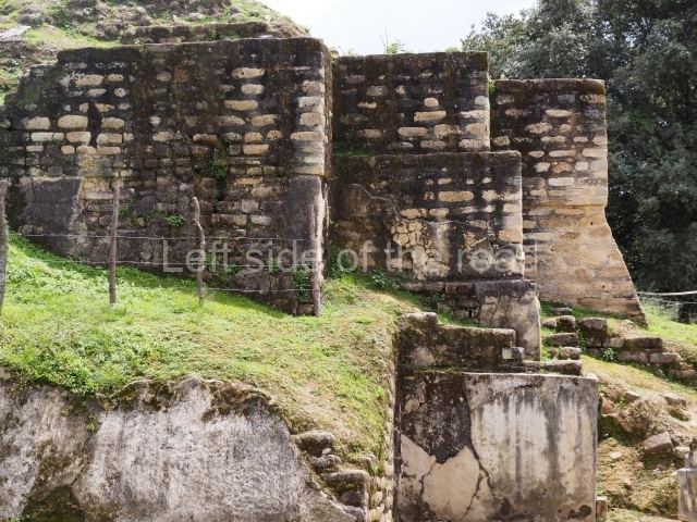
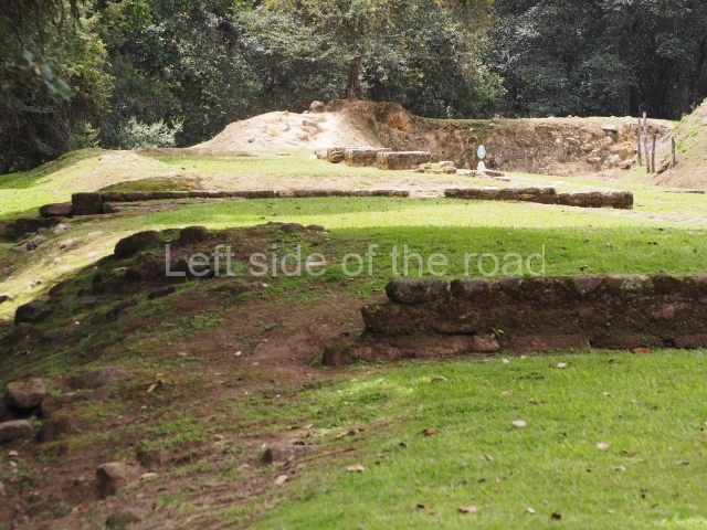
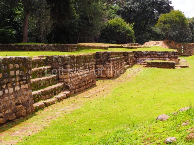
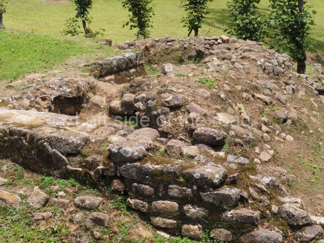
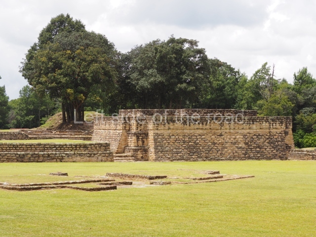
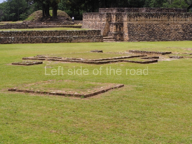
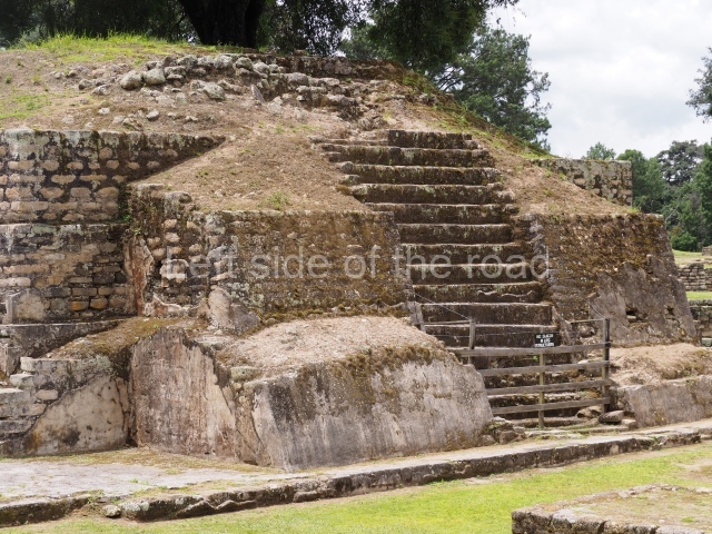
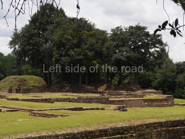
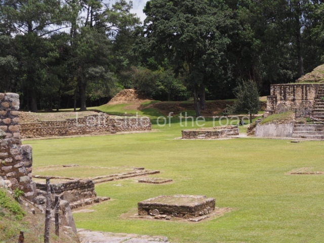
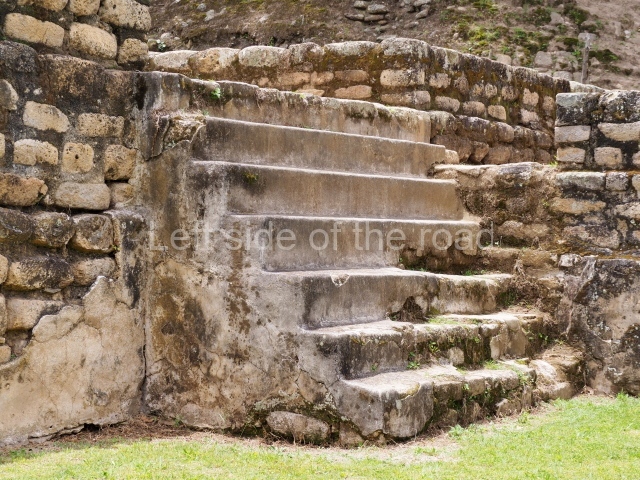
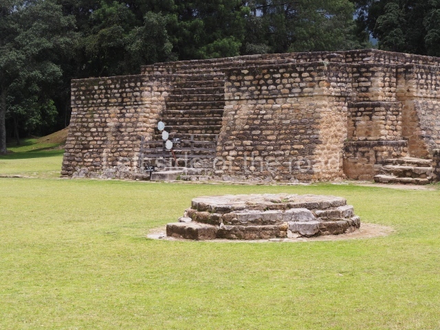
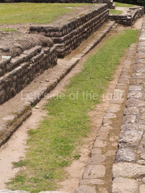
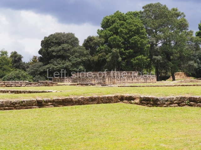
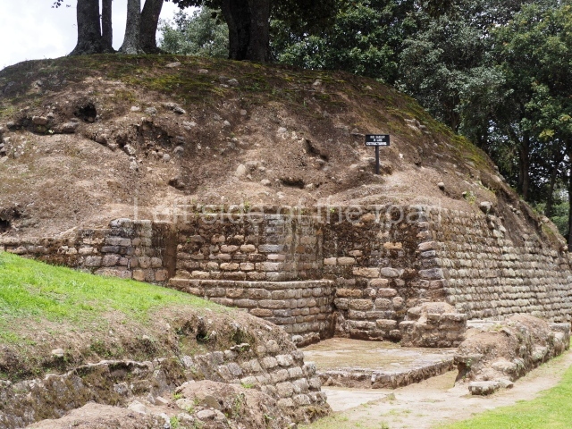
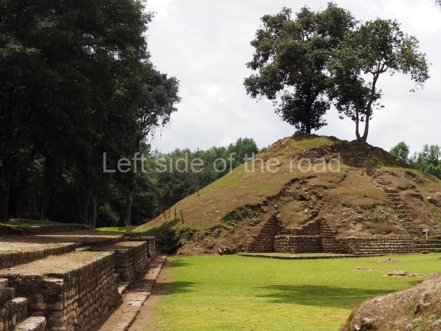
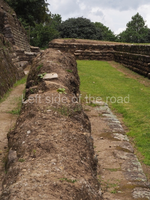
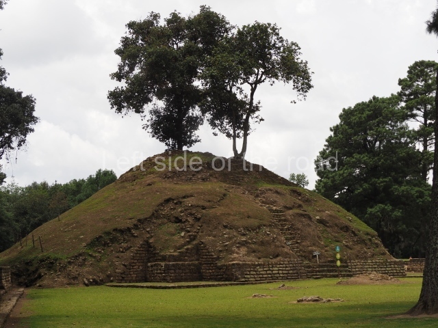
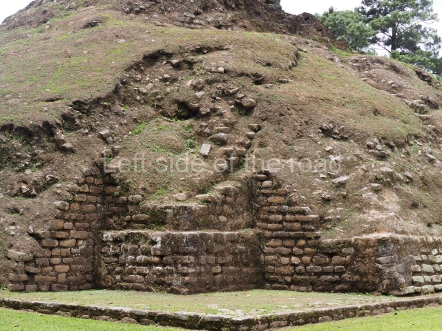
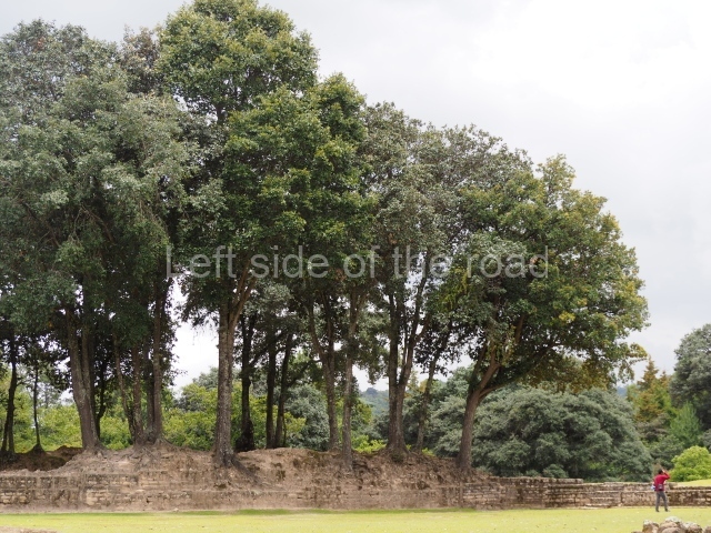
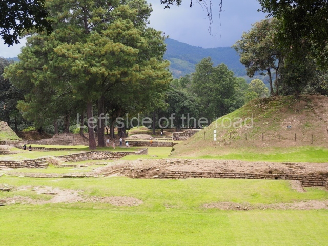
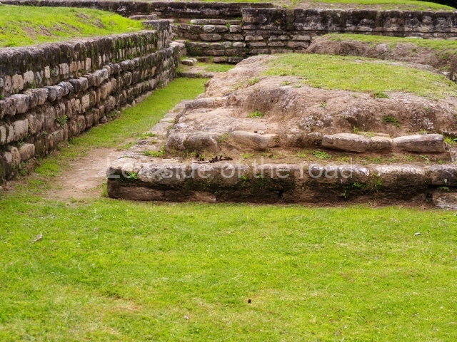
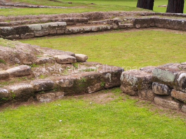
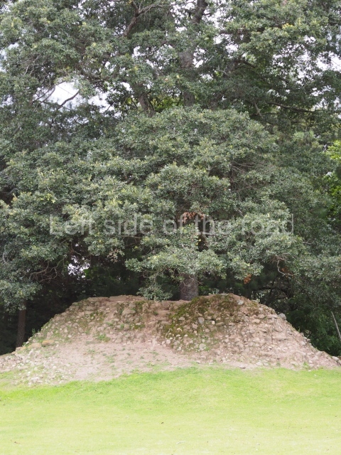
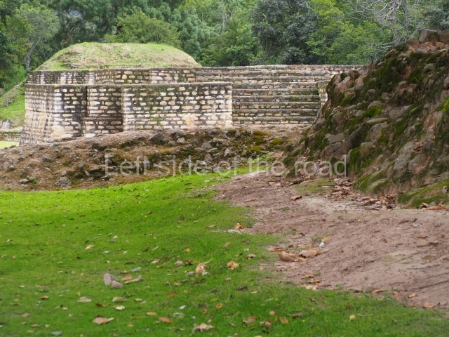
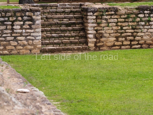
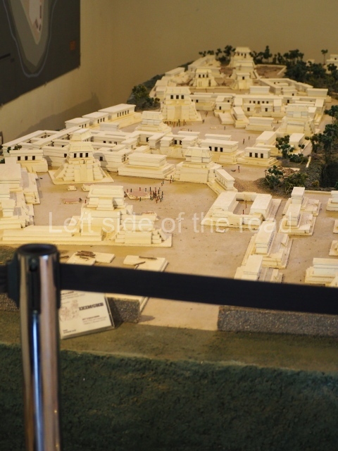
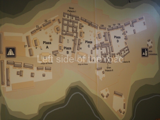
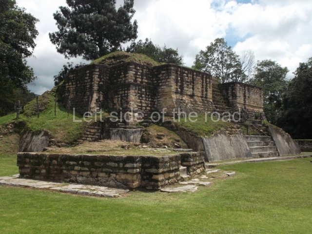
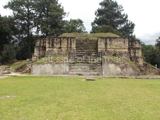
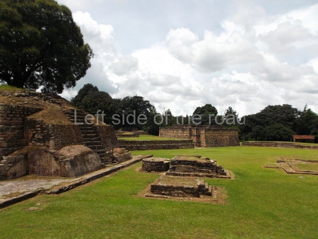
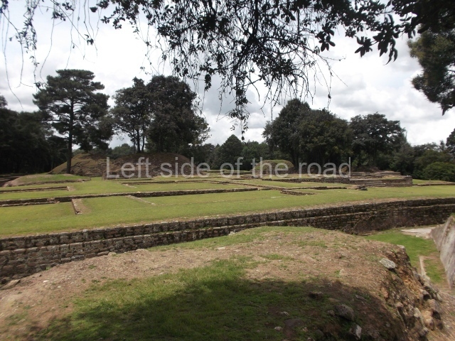
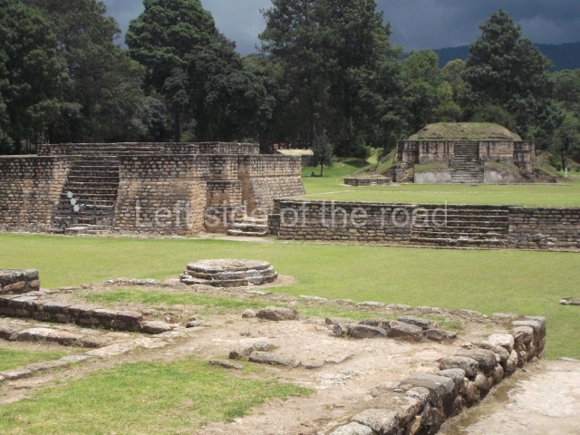
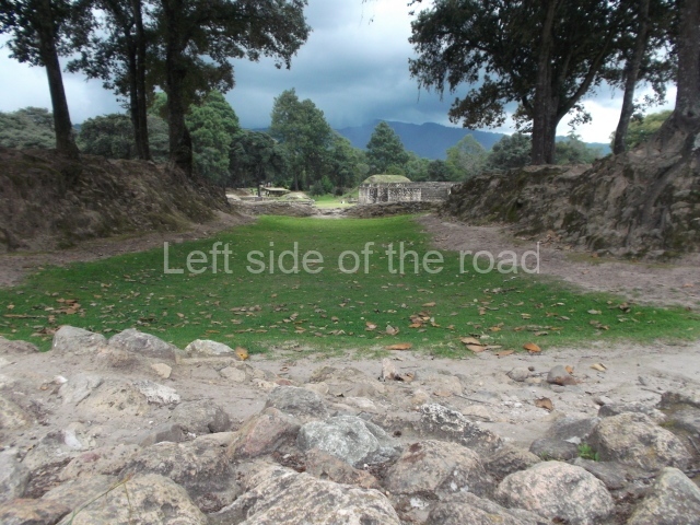
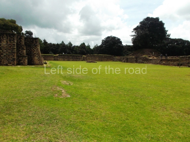
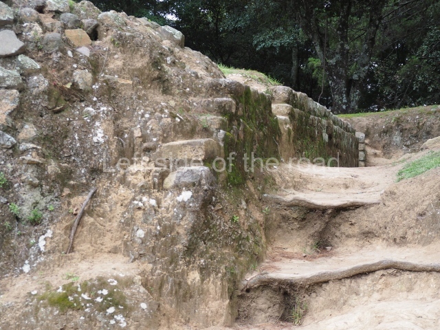
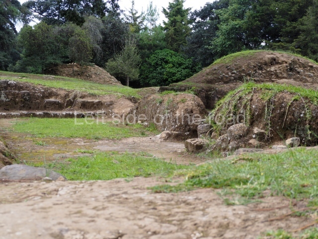
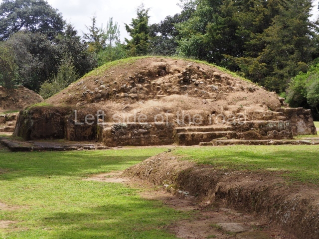
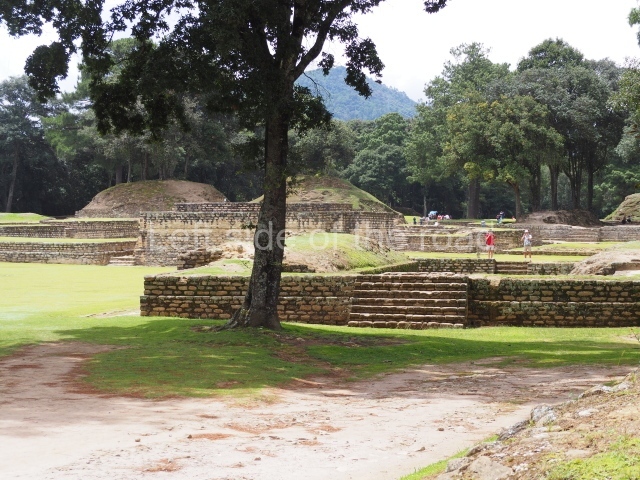
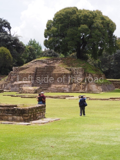
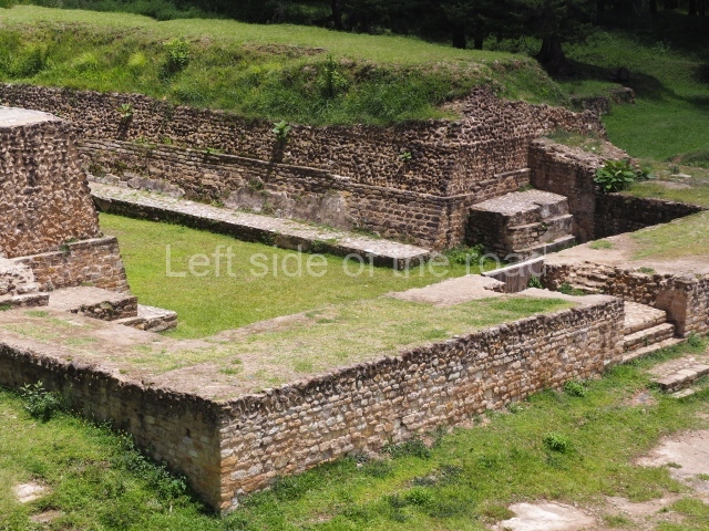
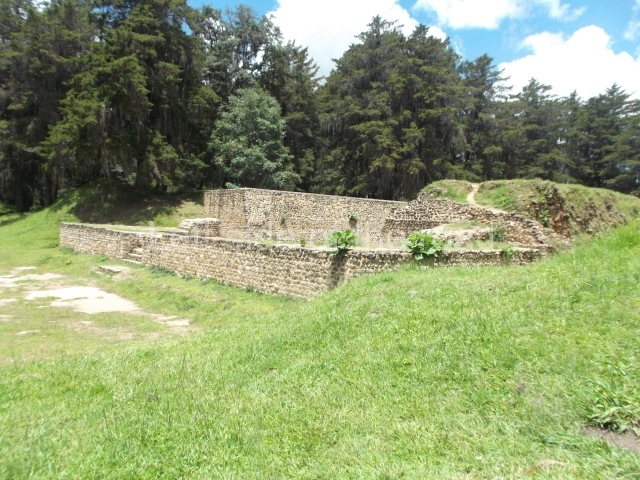
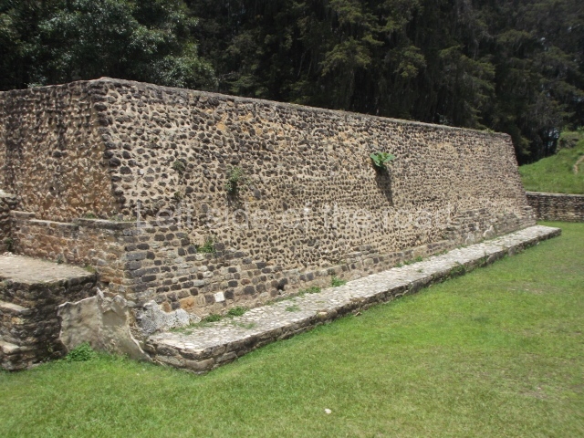
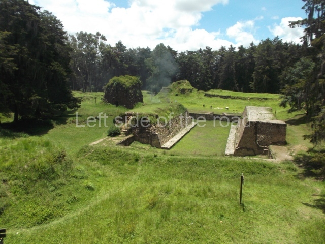
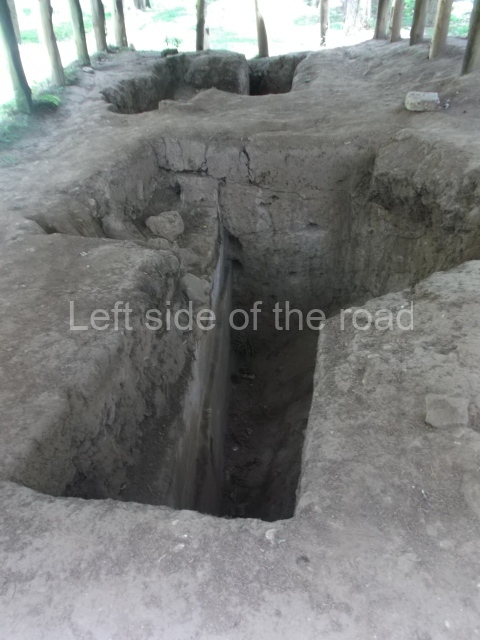
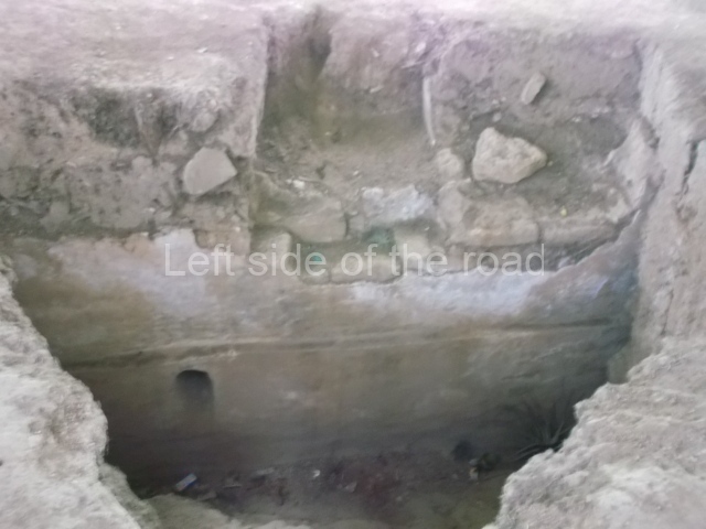
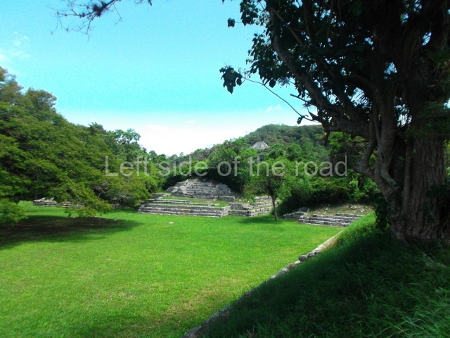
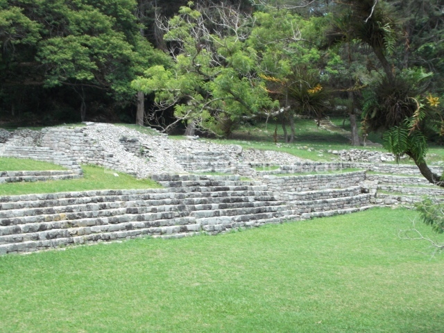
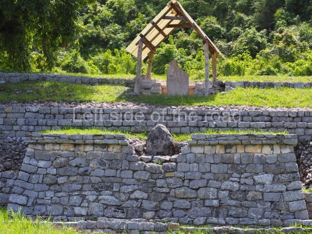
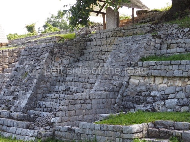
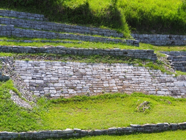
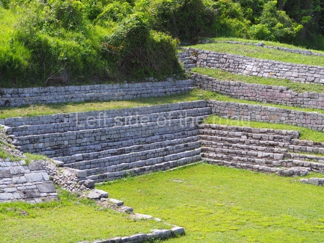
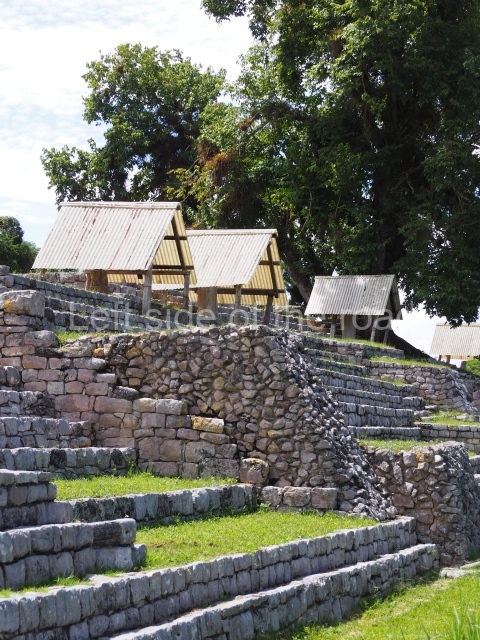
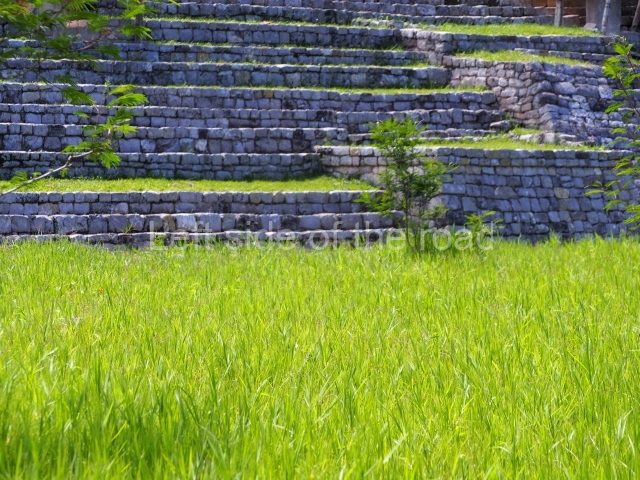
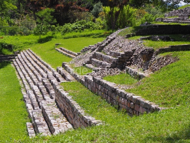
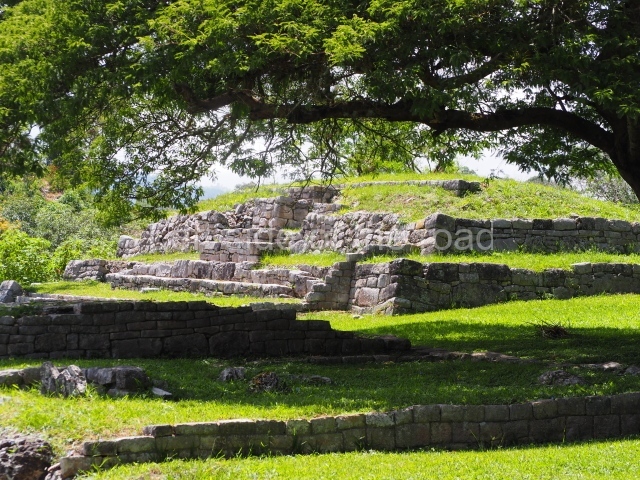
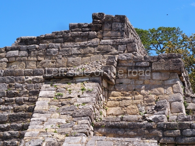
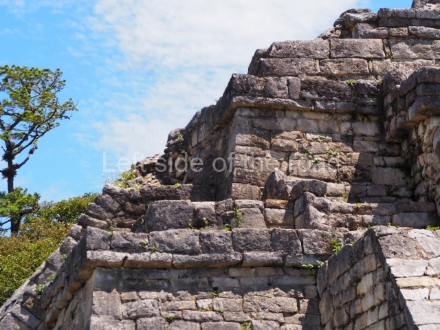
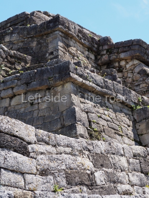
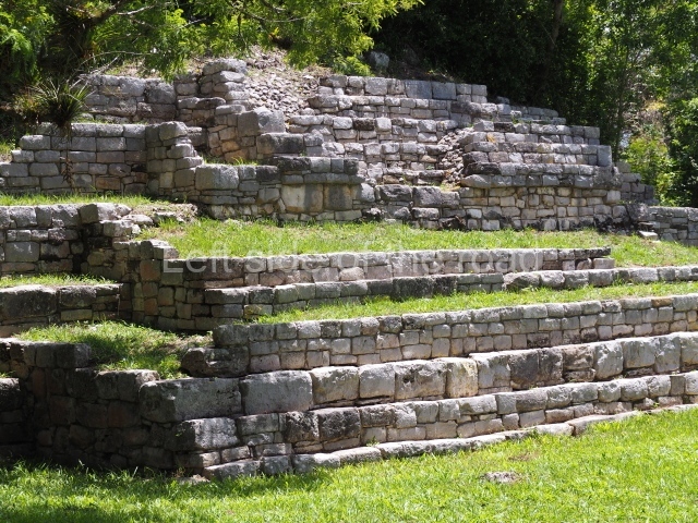
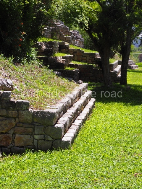
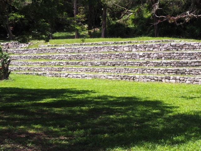
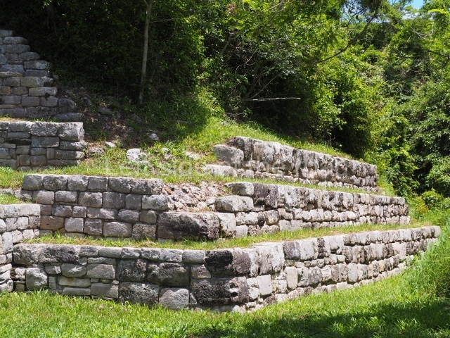
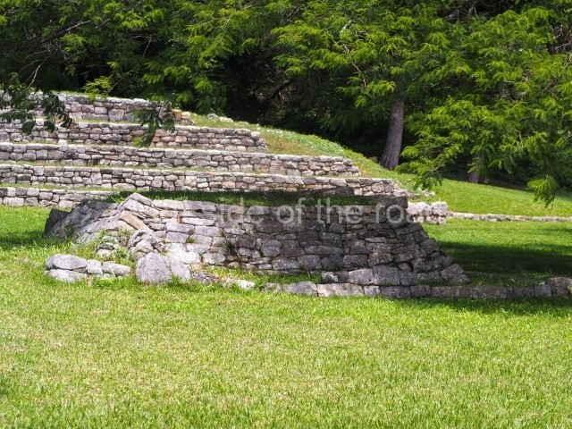
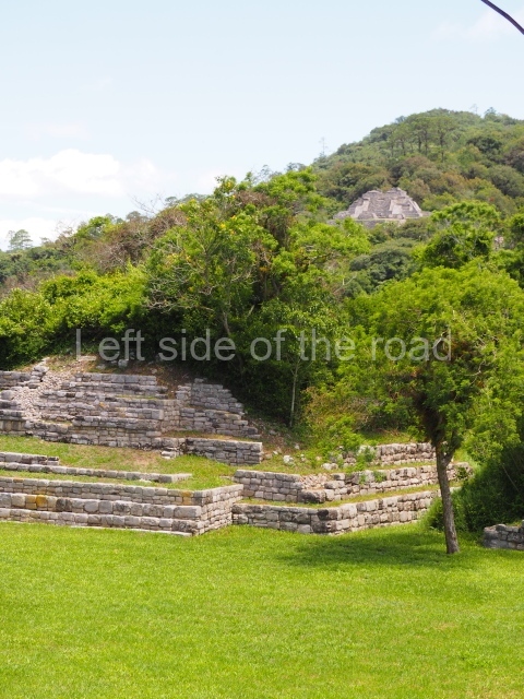
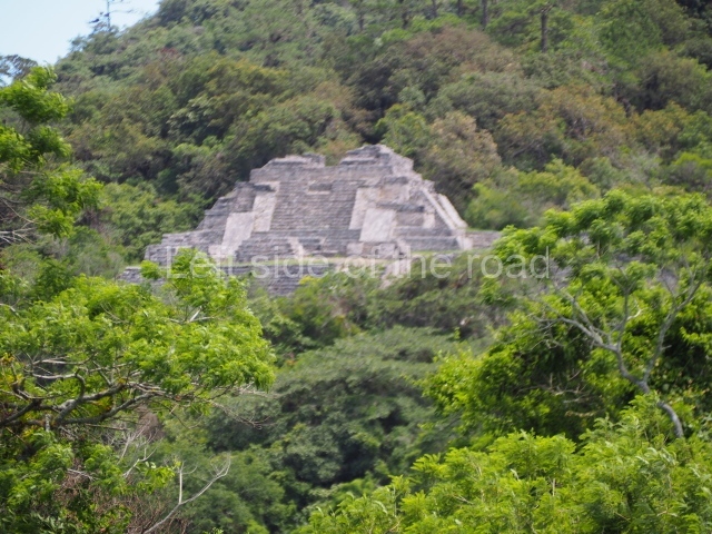
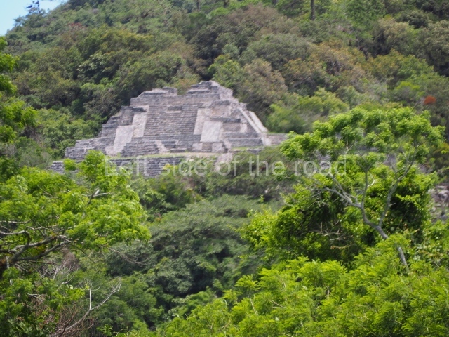
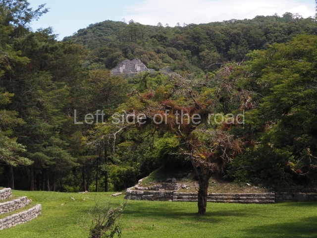
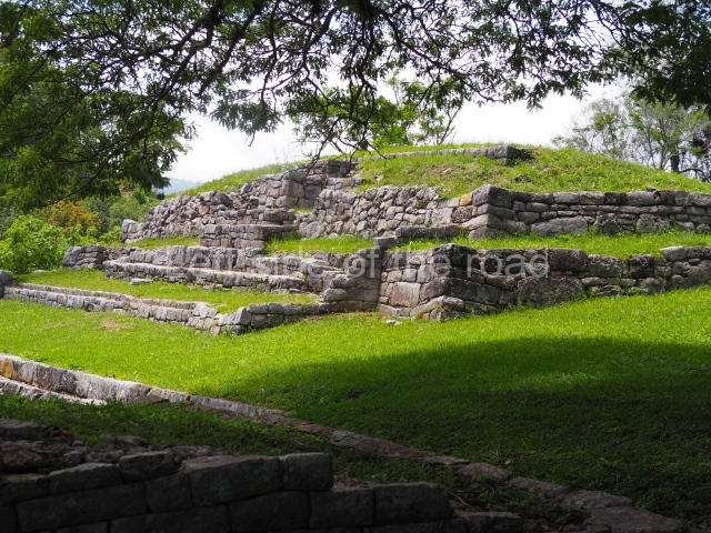
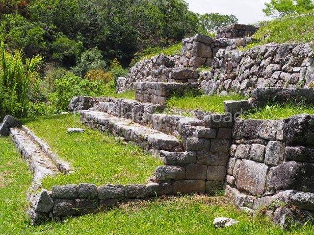
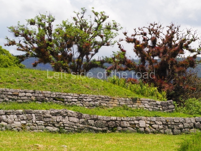
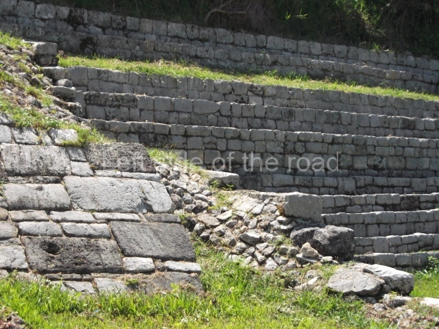
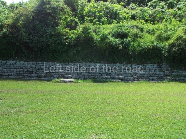
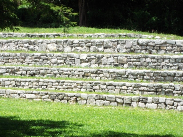
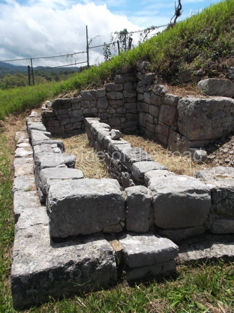
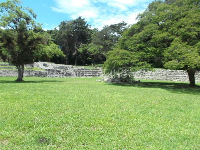
The Iximche citadel was articulated around various semi-enclosed plazas and platforms distributed in an area of approximately 15,000 sq m. It consisted of three principal elements: a temple, a large house and a ball court. It also contained various other details, such as altars, drainage systems, platforms for perishable structures, etc. Each section was connected by access stairways to the different plazas. There were also narrow passageways between the different groups to facilitate the circulation of the population. There were six plazas in total, all with a north-west/south-east orientation, varying slightly in size and containing over 170 structures all together. The plazas were designated archaeologically by means of the capital letters A to F, the largest being Plaza C. Only four of them have been restored. Watchtowers overlooking the surrounding ravines were built at the ends of the plateau on which the site stands. The main access, in the north-west, was preceded by a deep moat and flanked by two elongated structures in the fashion of a defensive wall, 3 m in height.

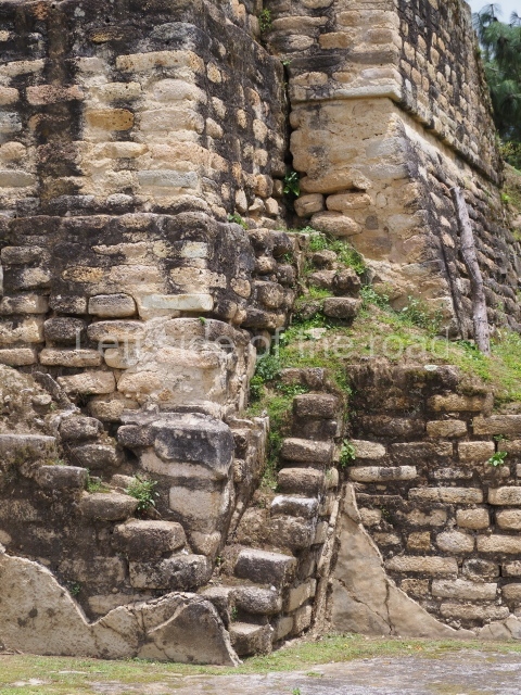
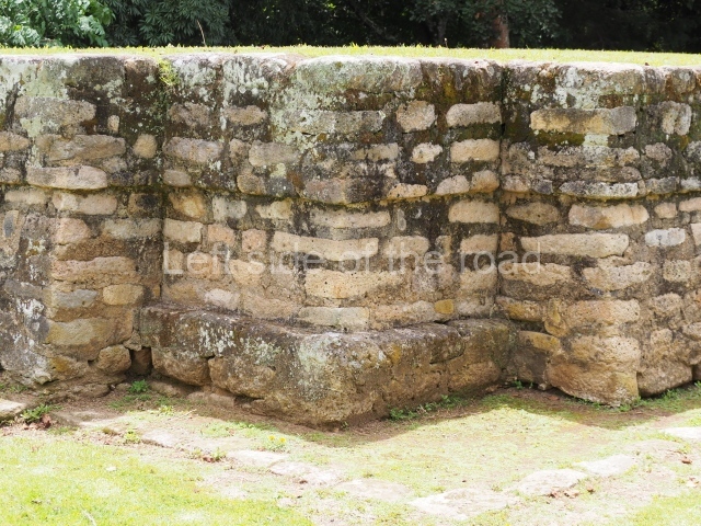
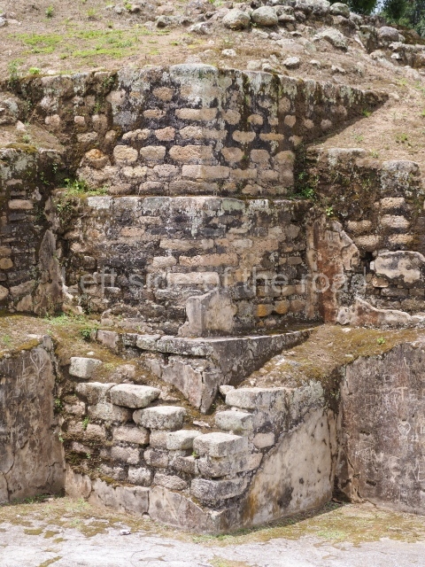
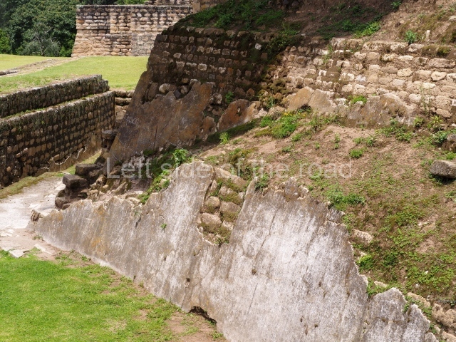
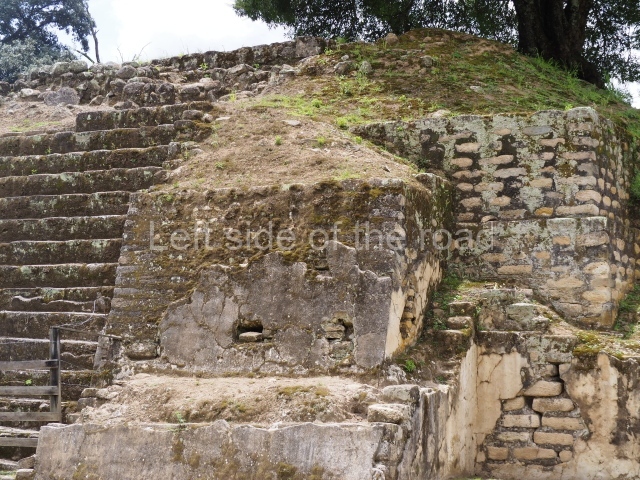
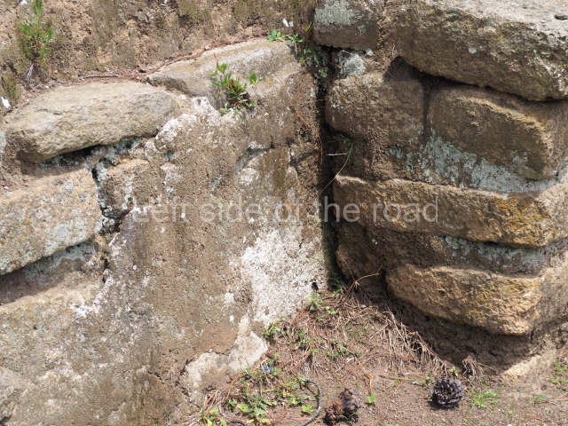
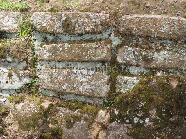
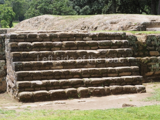
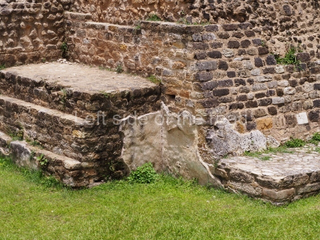
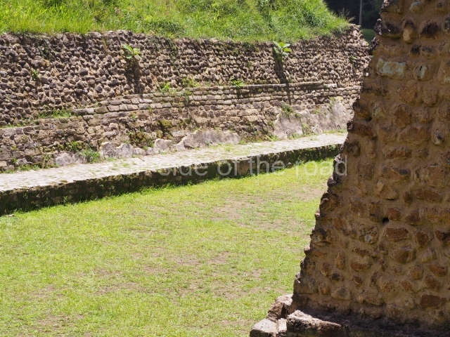
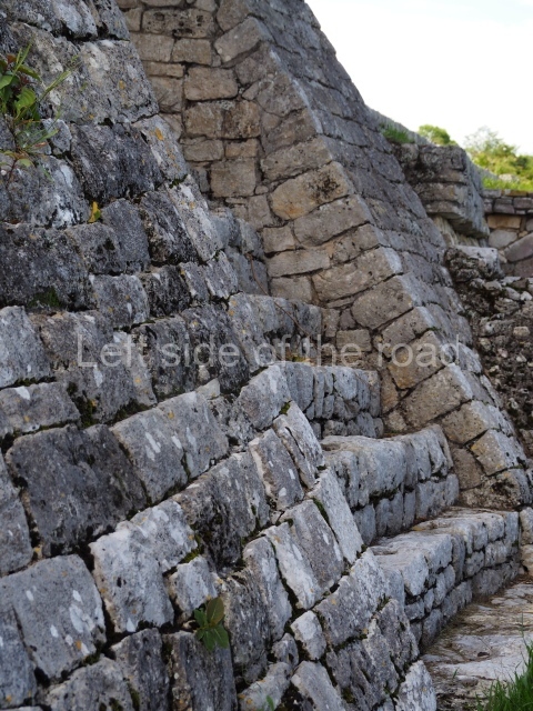
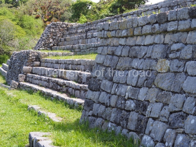
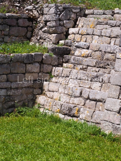
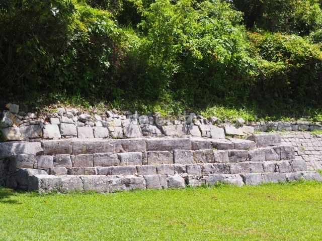
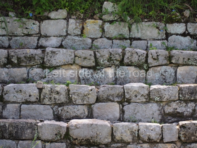
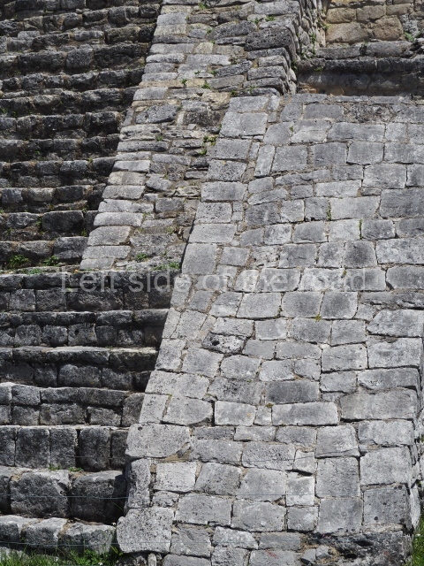
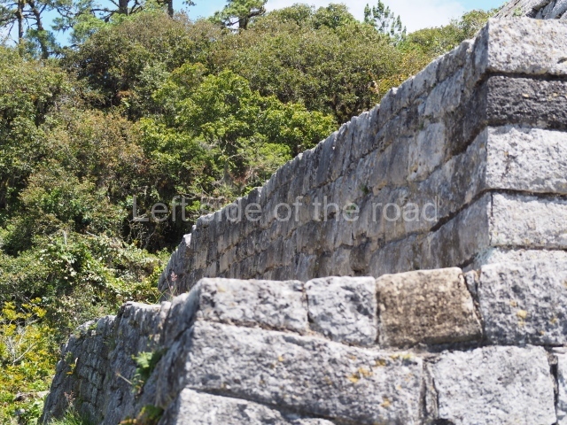
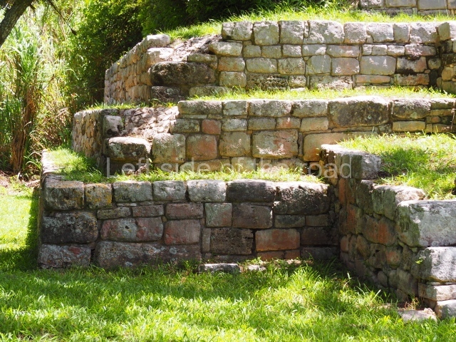
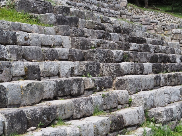
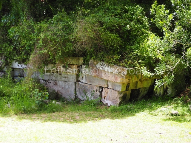
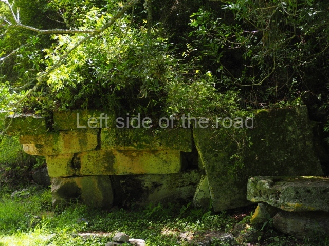
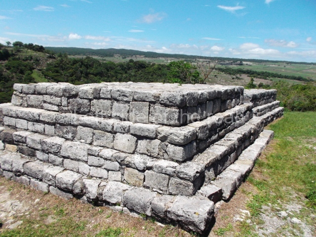
In terms of the construction materials, local resources such as sedimentary rock and pumice were used, cut into small blocks which were arranged in the fashion of ashlar stones, bonded by a mortar of sand, lime and clay and then covered with stucco. The interior of the structures was filled with mud and pebbles. Perishable materials were also used for walls and ceilings, mainly in the case of dwellings but some temples as well. The shape of the buildings varies according to their function. The temples are the most outstanding constructions and the tallest. They consist of a pyramidal platform with sloping walls and inset corners. A stairway is inset into the middle of the pyramid. At the top of the pyramid is a platform for supporting a construction made out of perishable material, in front of which there is usually a small altar. The facades of these buildings display vertical finial blocks, a characteristic feature of Postclassic architecture.

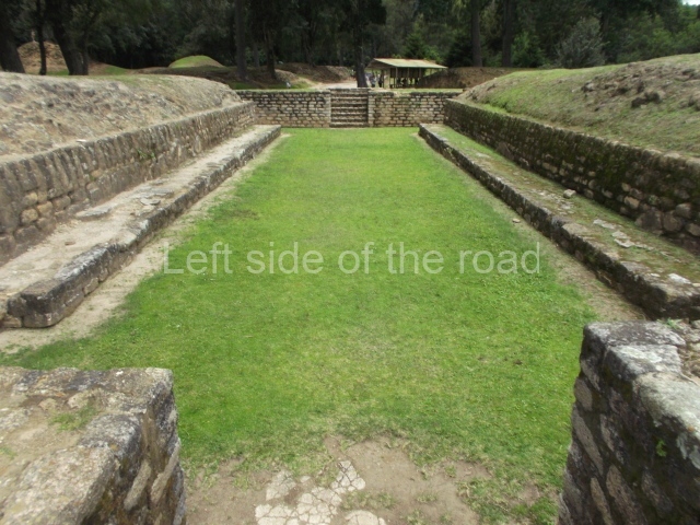
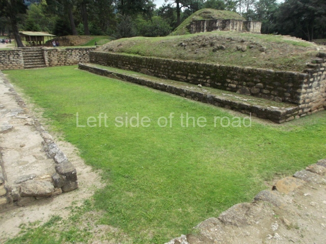
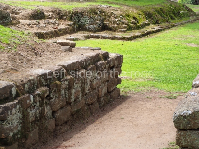
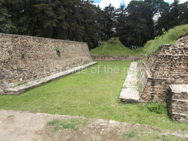
The ball-court structures are of the enclosed variety and were designed in the shape of the letter I. However, they have access stairways at both ends. The parallel volumes that delimit the court consist of a bench from which rises a vertical wall culminating in a type of platform. There are no visible butt or ring markers as at other sites in the highlands, although Guillemin mentions that various zoomorphic butts were found near structure 24 and may correspond to the missing markers. The total interior length of one of the courts (structure 8 ) is 30 m, with a width of 7 m between the walls, structure 7, another ball court which has not been restored, displays the same dimensions.

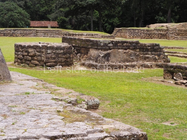
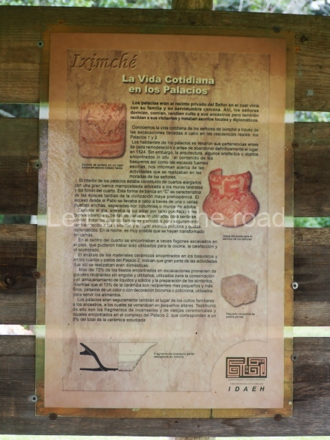
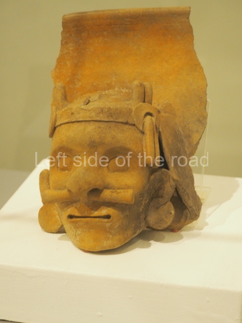
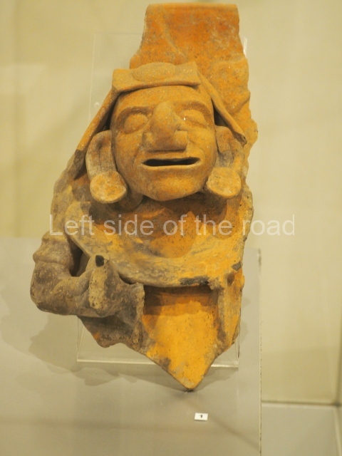
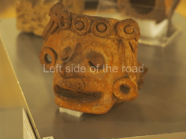
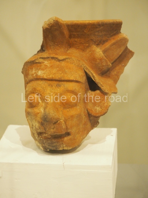
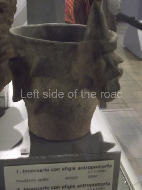
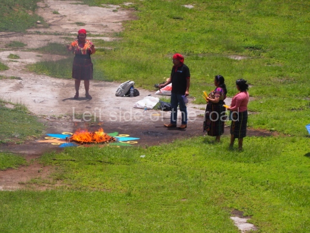
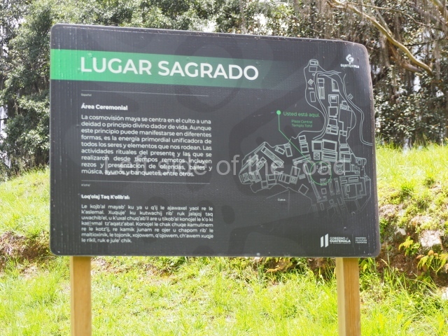
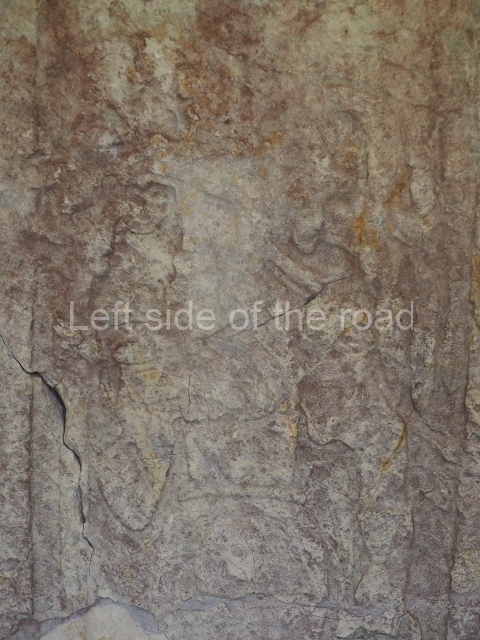
The so-called palace, situated in Plaza B, is the largest and most complex architectural structure at Iximche. According to Guillemin, the palace had an original core of approximately 500 sq m and was subsequently extended in all four directions, gaining new constructions with interior courtyards. It also extended upwards, eventually encompassing a surface area in excess of 3,000 sq m. The residential complex includes houses with interior benches and concave hearths, situated around enclosed courtyards with altars in the middle, structure 22 in Plaza A is an example of a large house; it consists of an elongated platform with numerous access stairways and what look like pillars forming the entrances to the interior of the building, which also contained abutted benches. In terms of the altars situated in the courtyards, these vary in shape and size; some of them consist of platforms that resemble miniature temples, while others have a circular plan. Plaza A has the largest number of such altars, six in total, with the majority situated opposite structure 3, a vast temple pyramid. Some of the most notable characteristics of Iximche are the murals that adorned the interior of various dwellings and buildings, as well as certain altars, such as Altar 47 next to structure 2, which displays traces of black, red and green paint. The plazas at the site were clearly associated with the residences of the most important lineages of the Caqchikel society of the 16th century. Plaza B may have accommodated the governors. Nowadays, Iximche has a site museum containing a collection of objects found during the excavations, as well as a scale model of the fortress city and photographs of the excavation process. It also has a car park, public toilets, information panels situated strategically along the itinerary, and wooded areas. Due to the sacred nature of the site, Maya ceremonies are conducted in a structure situated in the plaza furthest away from the entrance. Celebrated with a certain frequency, these rituals attract numerous people.

Edgar Carpio

From: ‘The Maya: an architectural and landscape guide’, produced jointly by the Junta de Andulacia and the Universidad Autonoma de Mexico, 2010, pp490-492.

Iximche

Iximche

1. Plaza C; 2. Structure 7; 3. Plaza B; 4. Palace; 5. Structure 8; 6. Structure 22.

How to get there;

A combi, with the word Ruinas scrawled on the windscreen, leaves from the main square. It takes you straight to the main entrance to the site. Q5

GPS:

14d 44’ 8” N

90d 59’ 46” W

Entrance:

Q50

More on the Maya

Q’Umarkaj-Gumarcaj – Santa Cruz del Quiche – Guatemala

Q'Umarkaj-Gumarcaj

Q’Umarkaj-Gumarcaj

More on the Maya

Q’Umarkaj-Gumarcaj – Santa Cruz del Quiche

[The description below promises much more than is, in fact, to be seen. Probably, for me, the most under-whelming site so far – hence the few pictures in the slide show. After I left the site I started to think that I must have missed something, but was sure I saw all that was there. Perhaps, I’ll never know.]

Location

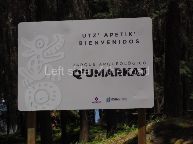
Q’umarkaj, which means ‘old reed huts’, is a pre-Hispanic fortress situated 8 km from the departmental capital of El Quiche, approximately 163 km north-west of Guatemala City. Also known as Utatlan and Guamarcaj, it was the capital of the K’iche’ kingdom, and therefore the political seat of the most powerful entity in the Guatemalan Highlands during the Postclassic. From here, the K’iche’ kings ruled over a large territory encompassing most of the central and western plateau of Guatemala, from the Chixoy Valley to Quetzaltenango and San Marcos between the plateau and the coast, covering an area of over 7,000 sq km. It was founded in AD 1250 by the governor Gucumatz and destroyed due to conflicts with the Spanish conquistadors in 1524.
Pre-Hispanic history

According to historical sources, the K’iche’ nation was a crucial target for the Spaniards, who had received news in central Mexico about the power wielded by the K’iche’ governors and their rule over other groups on the Guatemalan plateau. A military expedition led by Pedro de Alvarado departed for the Guatemalan Highlands to subjugate the K’iche’s. En route, the Spaniards struck alliances with opposing groups such as the Caqchikels, who together with Tlaxcaltec warriors helped to defeat the K’iche’s. In keeping with the Postclassic architectural tradition and settlement pattern, the city of Q’umarkaj was established on a hilltop overlooking the surrounding territory and offering defensive advantages. The area enjoys the typically mild climate of the plateau, while the vegetation consists of large trees that provide ample shade, a cool breeze and raw material for the construction of dwellings and handicrafts, as well as fuel for domestic uses. The K’iche’ capital occupied a strategic geographical position, enabling the population to control the fertile lands, valleys, water resources and trading routes, all of which gave this group an enormous advantage over its rivals.

Site description

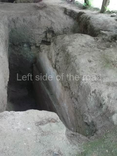
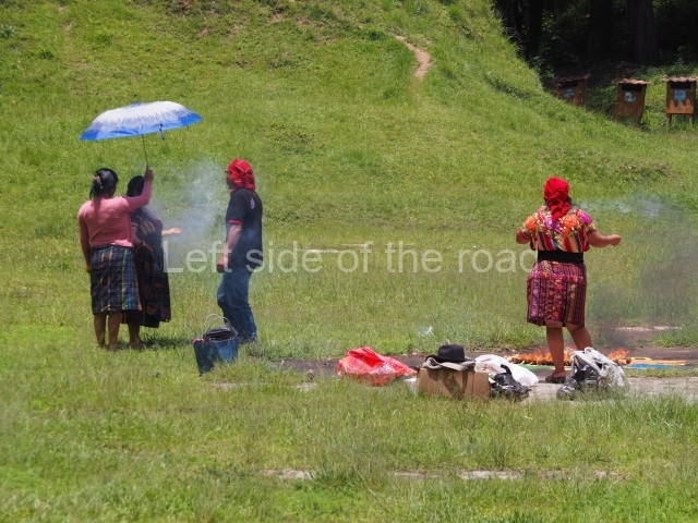
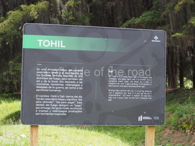
The architectural characteristics of the site include double stairways, twin-temple complexes, elongated structures or large houses in the fashion of palaces with pillars, numerous entrances and interior courtyards, ball-court structures, sloping pyramid platforms, vertical walls or finial blocks and circular structures. The city consists of three building groups connected by causeways. Each group has a plaza, twin temples with a double stairway, and a ball court, as well as low platforms for dwellings and circular structures. These groups must have been organised hierarchically in keeping with the relative importance of the principal K’iche’ lineages. These would appear to have established a complex form of social organisation based on territorial federations called chinamitales, out of which they created three Amak or large federations and established their capital, Q’umarkaj, in one of them. The building materials used were the local adobe, sedimentary rock and igneous rock, covered with stucco for a more elegant finish and greater durability. The fired clay technique was also used to create the solid core of some of the structures, while mud, pebbles and sand, duly compacted, were used as fillings. A network of artificial caves for ceremonial purposes has been found beneath the site. These continued to be used in the same way today, like the ruins of certain structures such as the Temple of Tohil, where modern day Maya priests perform rituals.

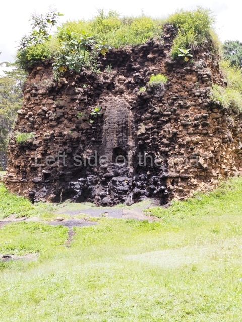
Despite minimal restoration and research, various structures illustrate the architectural characteristics of the site. The temple dedicated to Tohil in the middle of the Central Plaza is one of the most important constructions at this Postclassic city. It is a pyramidal structure composed of a sloping wall, which constitutes the balustrades flanking the stairway, surmounted by a vertical wall or finial block. A small stairway once led to the upper platform and temple. This pyramid was one of the highest at the site.

The other important buildings at the site are the Temple of Awilix, the Temple of Q’uq’umatz, the ball court in the Central Plaza, the Temple of Jac aw itz, the Tamub Temple and the Kawek Palace. The Temple of Awilix, which stands opposite the Temple of Tojil, consisted of two main tiers, the first wide and the second narrower. The top tier had two stairways, divided by a finial block, leading to a temple with a roof comb. Two standard bearers were found flanking the central stairway. Meanwhile, the Ball Court was of the enclosed, I-plan variety with a single and relatively small access stairway situated at one of the ends. Another stairway led to the top of each wall where there must have been a type of roofed box for authorities supported by pillars. The parallel walls were sloped and lined with benches. The marker at the top of the court must have been of the ring variety. From the Central Plaza, the remainder of the site stretches out in all four directions, the north section being the most distant. The south, east and west sections contain various residential buildings and a few temples at what has been called the ‘ritual-council palatial’ complex. Nowadays, all of the visible large structures are situated in and around the Central Plaza and adopt the form of mounds. None of them have been restored, although a few have been consolidated. Further away from the plaza are a few smaller structures in a similar state of preservation.

Situated at the entrance to Q’umarkaj is a small site museum (closed in summer 2023) containing pieces recovered during the excavations, a scale model and informative panels offering details about the history of the site and general aspects relating to the K’iche’ culture. There are also a few modern objects made locally, such as the traditional brightly-coloured fabrics that are produced in the nearby town of Chichicastenango, which is famous for its textile market and still contains numerous elements that defined the K’iche’ culture. The most famous of these is the church of Santo Tomas Chichicastenango, where the Popol Vuh, the sacred book of the K’iche’s, was copied.

Edgar Carpio

From: ‘The Maya: an architectural and landscape guide’, produced jointly by the Junta de Andulacia and the Universidad Autonoma de Mexico, 2010, pp492-493

How to get there;

A combi, with Ruinas scrawled on the windscreen, leaves from the square in front of the church on a regular basis during the day. Q5. It’s route ends at the bottom of the approach road to the site.

Entrance;

Q30
More on the Maya

Chinkultic – Chiapas – Mexico

Chinkultic - Chiapas

Chinkultic – Chiapas

More on the Maya

Chinkultic – Chiapas

Location

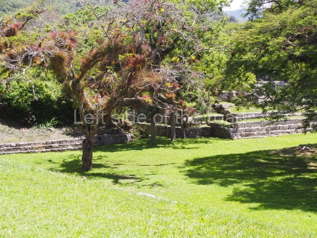
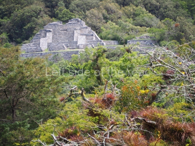
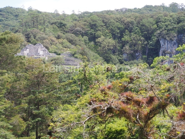
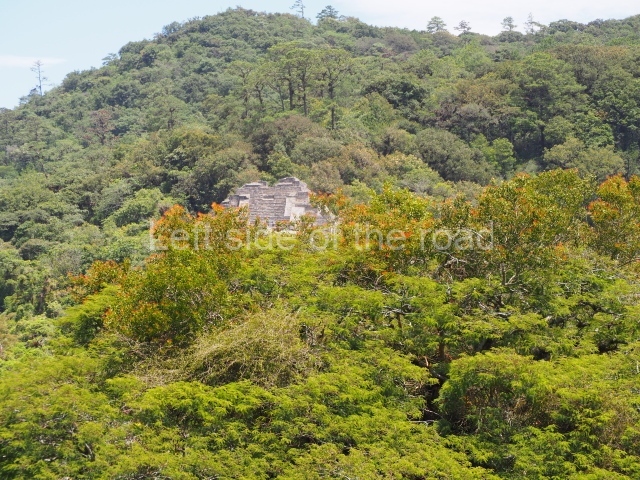
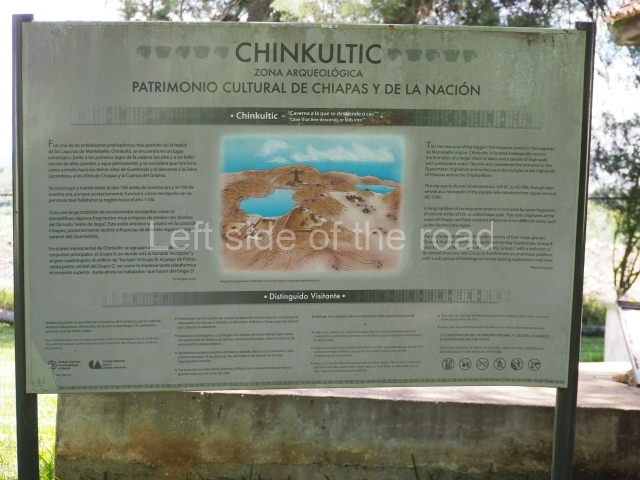
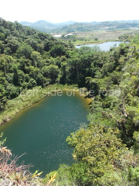
This important Maya capital is situated very close to the Montebello National Park, 50 km south-east of the city of Comitan de Dominguez, in the municipal district of La Trinitaria, Chiapas. It can be reached by taking the federal road that leads to the Montebello Lakes, the descent to the River Santo Domingo and the Lacandon Rainforest. The region boasts a mild climate and is geographically composed of wide valleys, lakes of different shades and low mountains (1,600 m above sea level), covered with pines and fir trees, which alternate with forests of oaks and low evergreen rainforest; due to the excessive humidity in the atmosphere, the trees are covered with a rich variety of epiphyte plants, such as magnificent wild bromelias and orchids, as well as offering a sanctuary to quetzals and other endangered species.
Pre-Hispanic history

The human settlement emerged in the Late Preclassic (400 BC-AD 250), as evidenced by five fragments with reliefs dated to that period, with activity concentrated around the Mirador (Group A). Subsequently, the dates on the monuments correspond to the beginning of the Early Classic, as in the case of the Disc of Hope or Chinkultic Disc (AD 573), and there is a hiatus in the epigraphic records until 9.18.0.0.0 or AD 790 (Stela 8); the last date is 10.0.15.0.0 (AD 844), inscribed on Stela 1. After this time there appears to have been ritual activity at the Mirador Group, judging from the Early Postclassic (AD 1000-1200) offerings discovered by Pierre Agrinier; later on, there is little evidence of occupation during the Late Postclassic and the worship of ancestors and the gods of the underworld seems to have been confined to caves and caverns, greatly abundant in the area due to the limestone subsoil.

Site description

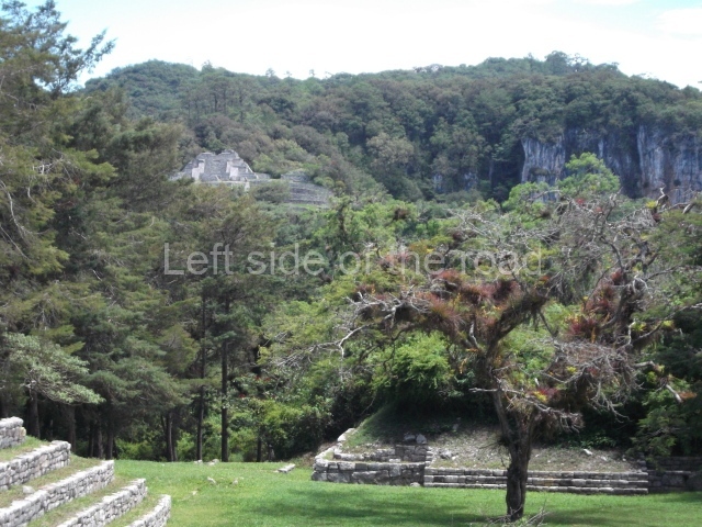
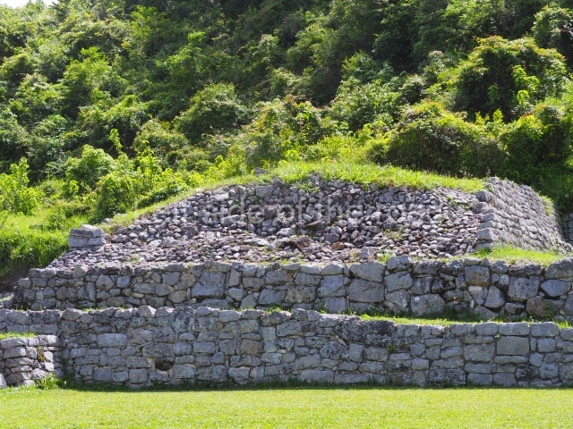
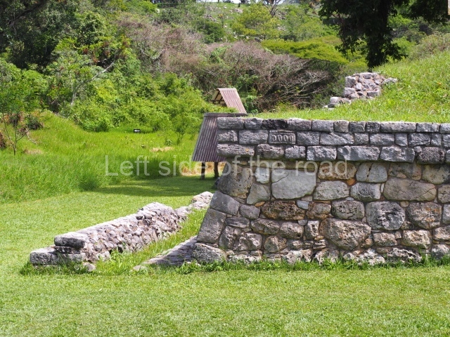
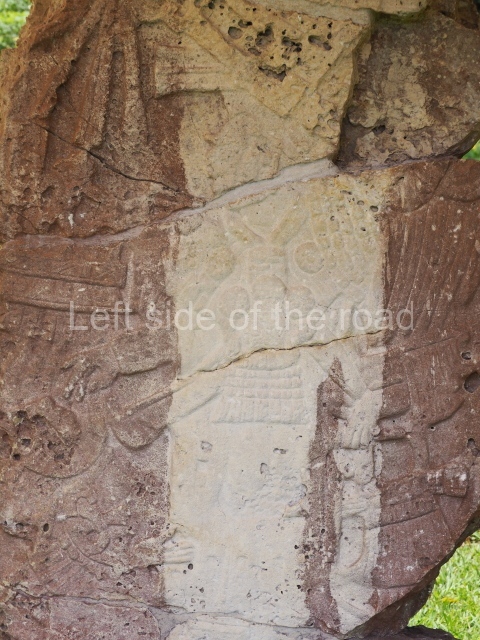
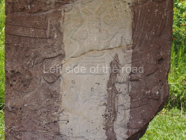
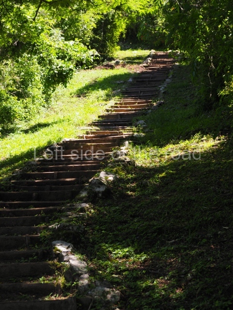
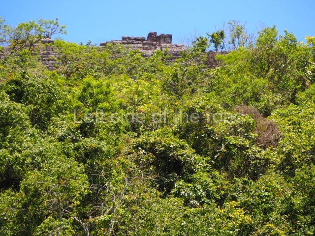
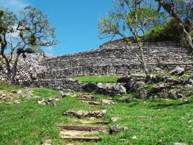
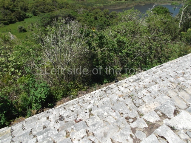
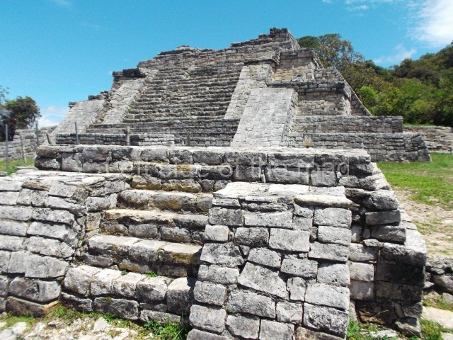
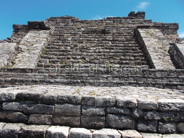
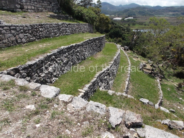
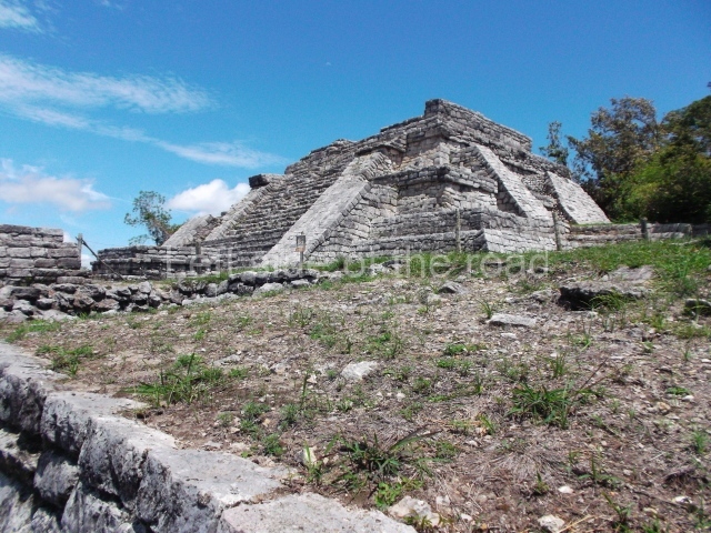
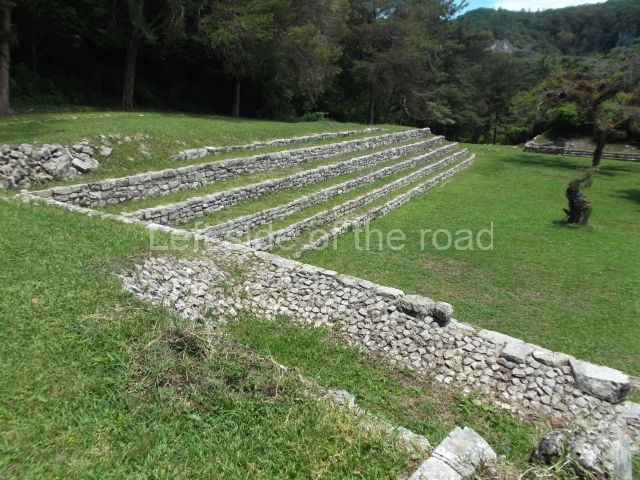
The archaeological area is situated on the Rincon estate, part of the old Tepancuapan Hacienda which has now been divided up into several farming communities. During pre-Hispanic times, this area was densely populated and covered several square kilometres branching out from the civic-ceremonial centre and the Agua Azul cenote, in the zone locally known as La Bolsa. Extending over large areas are the ruins of secondary groups with pyramidal structures and ball courts, as well as the remains of residential constructions on low platforms, made of stucco-clad stone masonry and surrounded by handsome lakes. The site is situated opposite the Hidalgo colony and is reached by an asphalt road. The civic-ceremonial centre at the settlement, composed of approximately 200 mounds of varying sizes, extends over some 40 ha, although the groups of constructions are relatively scattered and display a certain integration between the architecture and the landscape. For the purposes of analysis, the core area of Chinkultic was divided into five groups known by the letters A to E. The River Yubnaranjo, which connects lakes Tepancuapan and Chanujabab, divides the site into two sections. In the northern section, the steep slope of a hill delimits the Agua Azul cenote and has a large 1000-step monumental stairway leading to the main group, called the acropolis or Group A. On the small hilltop, an architectural group was built comprising a pyramidal platform in which it is possible to distinguish two construction phases, another smaller platform, three small altars opposite the monumental stairway and another altar abutted to the lower steps of the pyramid. Two of these altars yielded tombs with offerings of ceramic vessels from the beginning of the Early Postclassic (c. AD 1200). A stela (Monument 9) was also erected opposite the pyramidal platform; although nowadays fragmented, it is possible to make out a richly garbed dignitary wearing a prominent headdress in the fashion of a hat, plus six eroded glyphic cartouches. Behind the architectural complex lies the crystalline Agua Azul cenote, some 50 m deep.

At the foot of the monumental stairway is another semi-enclosed plaza with two pyramidal structures, a small platform that possibly served as an altar and a low, elongated platform near the edge of Lake Tepancuapan. On the wall of the north side of the smaller platform, Agrinier identified a fragment from an early stela reused as a building stone. Situated on the steep slope descending from the Acropolis to the edge of Lake Chanujabab, on an embankment, are another medium-sized pyramid and several low mounds, possibly corresponding to the remains of dwellings: these constructions are known as Group E.

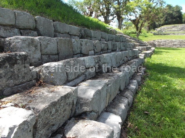
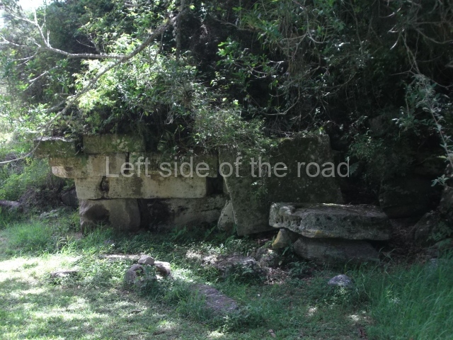
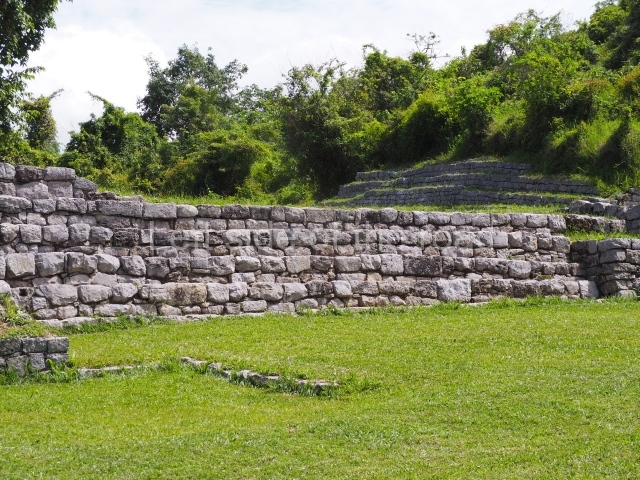
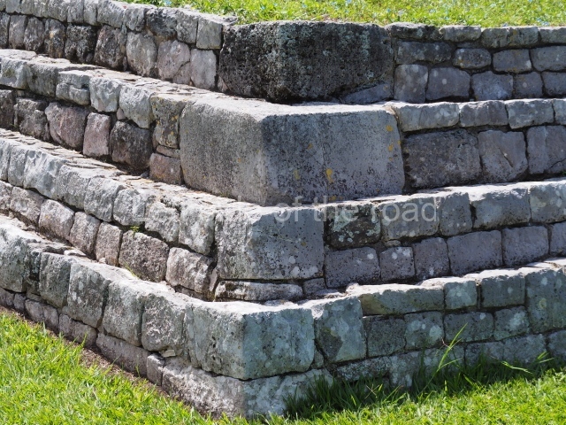
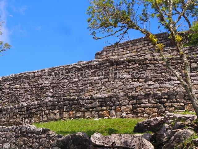
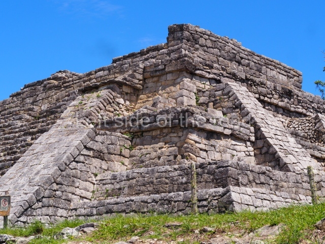
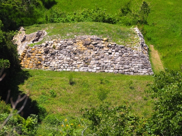
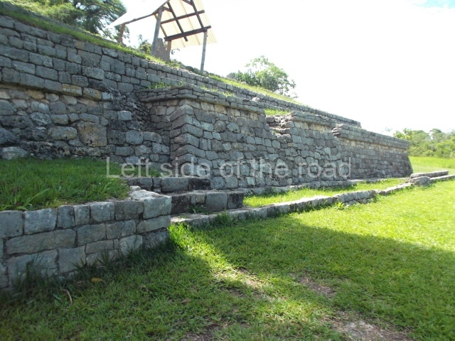
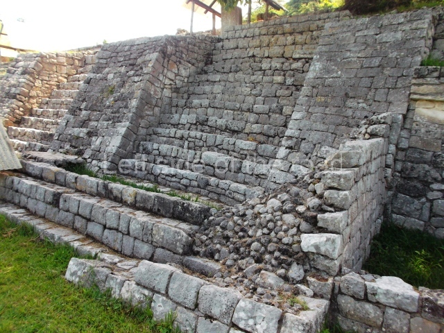
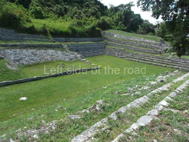
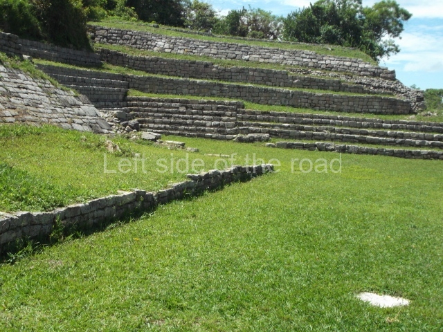
Immediately south of the River Yubnaranjo is Group B, which consists of a stage-like structure comprising a vast seating area made of large blocks of stone; the plaza is delimited on three sides by three large pyramids which stand some 10 m high, and at the centre is a sloping altar with a cornice, which like the pyramid in Group A displays two construction phases. In the upper middle section of the seating area is what appears to be the governor’s box, with several cylindrical altars made of limestone. Towards the south of this element lies a small courtyard (Group D ) delimited by the most important structure at the site, the Pyramid of the Slabstones, built out of ingeniously assembled giant blocks of stone, each several tons in weight.

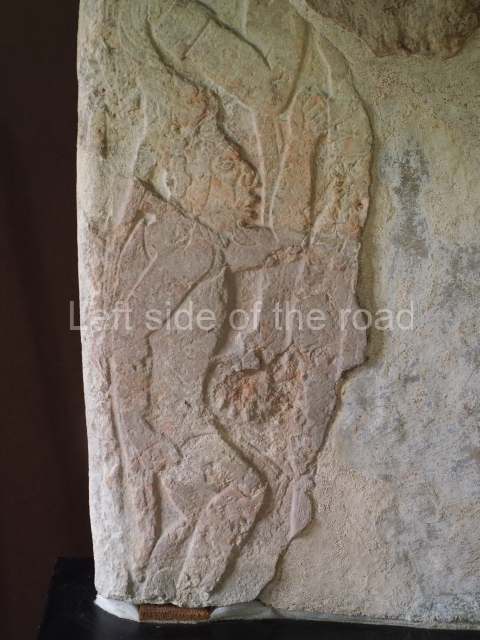
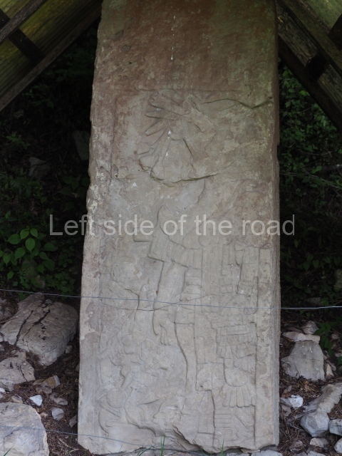
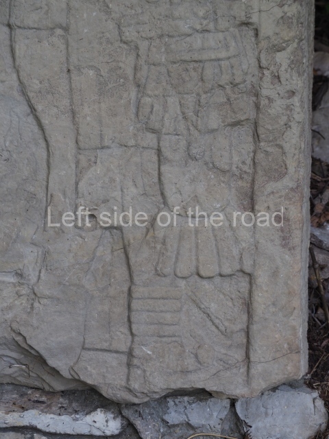
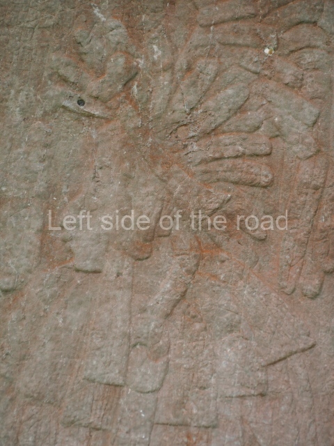
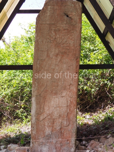
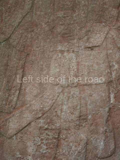
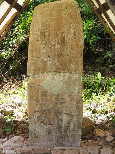
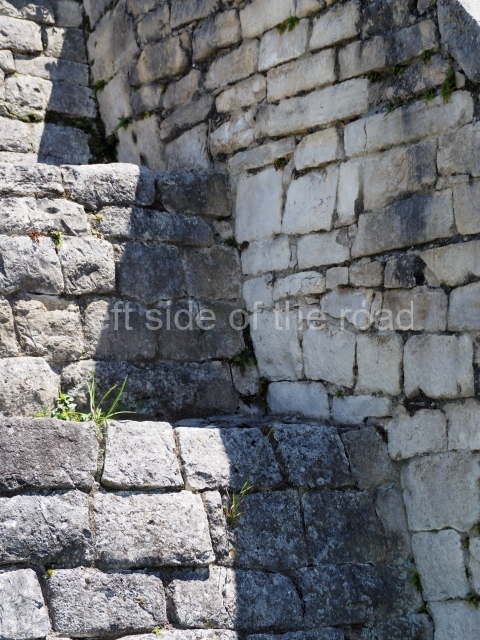
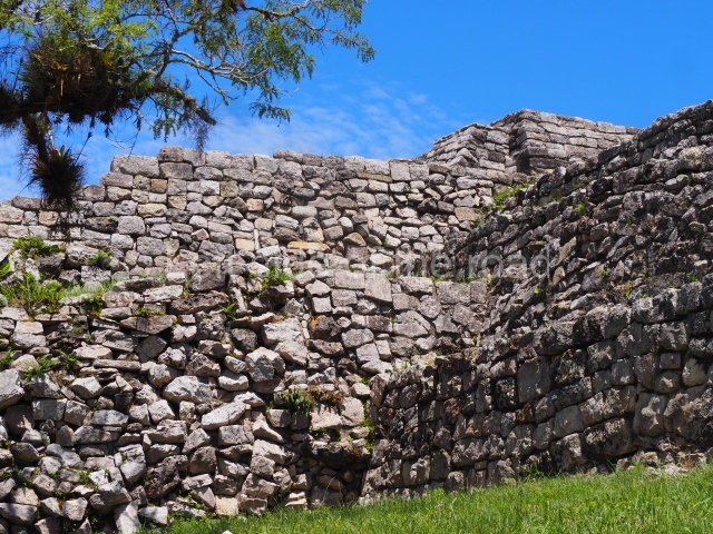
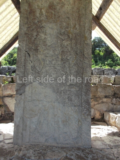
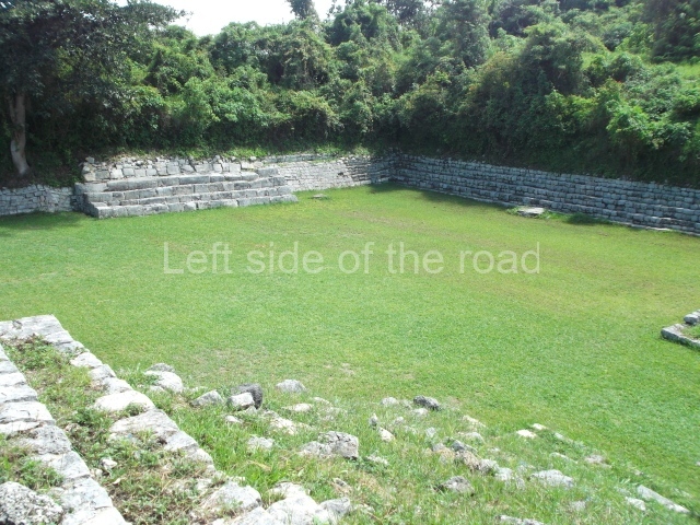
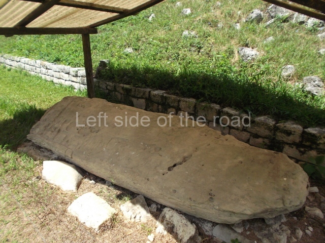
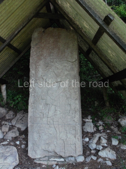
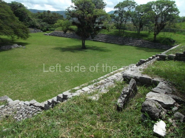
The most important architectural complex (Group C) is undoubtedly the ball court and the adjacent plaza, which boasts the largest number of carved stelae at the site. The ball court structure is made out of finely cut blocks of limestone and is abutted to a fairly high hill slope on which sits another small acropolis consisting of three low mounds around a small plaza open to the south-west; an altar stands in the middle of the plaza, while residential mounds occupy the terraces near the top of the hill. The ball court is of the enclosed variety and one end is larger than the other; this is a common characteristic in the eastern Chiapas Highlands and was thus designed to accommodate a megalithic seating area for spectators at one end of the court. A fragment from a Preclassic monument was reused in the central part of the seating area. Situated on the platform with access stairways and in front of it are several stelae; Stela 29 was reused as an altar in front of the stairway. The adjacent plaza, which is very large, is delimited by elongated platforms and there is a mound in the middle of it. Around and on top of the platform on the north side are six fairly large stelae and another four on the south side; including all the stelae and other fragments, there are approximately 20 monuments in this part of the site, of a total of 40 reliefs. In relation to the stylistic evolution of the sculptures at Chinkultic, Navarrete has this to say ‘The ball court and the plaza in front of it witnessed the simultaneous use of at least three styles: 1) no figures, only initial series; 2) thickly outlined rigid figures; and 3) figures forming scenes with richly garbed secondary dignitaries, with a greater emphasis on the quality of the carving than in filling in spaces’.

Monuments

Although the eastern Chiapas Highlands experienced a notable decline in population after the Classic era, several monuments with dates from the tenth baktun (corresponding to the Terminal Classic) have been found. Of particular note in this respect is the last Maya date recorded in the Long Count system: 10.4.0. 0.0 (AD 909), inscribed on a monument from the Amparo estate, as well as Monument 101 at Toniná. From the Sacchana estate, in the foothills of the Cuchumatanes Highlands in Guatemala, relatively close to Chinkultic, we know of the upper sections of two stelae with the dates 10.2.5.0.0 (AD 874) and 10.2.10.0. 0 (AD 879), transported to the Ethnography Museum in Berlin at the beginning of the 20th century. The Comitan Stela, reported by Blom in 1926, shows the date 10.2.5.0.0 (AD 874) and possibly comes from Tenam Puente, the regional capital at the west end of the Comitan Valley. This epigraphic evidence suggests that the Maya population in this part of the Chiapas Highlands maintained its classic religion and culture after the so-called collapse of the Maya civilisation in the central lowlands of the Peten region.

Lynneth S. Lowe

From: ‘The Maya: an architectural and landscape guide’, produced jointly by the Junta de Andulacia and the Universidad Autonoma de Mexico, 2010, pp468-470

Getting there:

From Comitan. Take a combi heading to the Lagos/Lagunas de Montebello opposite the Centre de Arbustos on the . M$55 each way. Get off just after Km30 where the site is signposted to the left. There’s a walk of just under two kilometres, mostly flat but a little bit of an uphill climb just before reaching the site. The site is well served with gardeners and one of them would more than likely give you a lift back to the main road, M$20. Regular combis head back to Comitan

GPS:

16d 07′ 25″ N

91d 47′ 00″ W

Entrance:

Free

More on the Maya