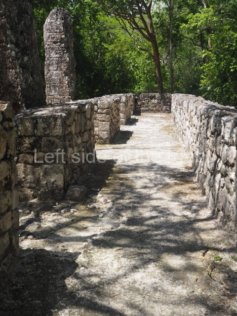
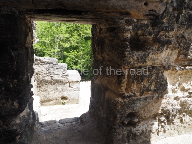
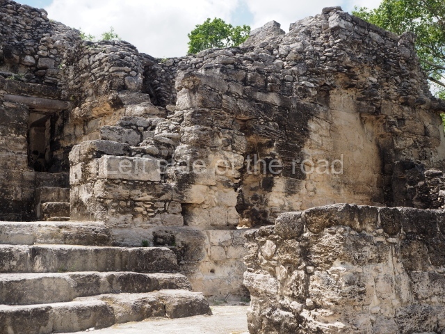
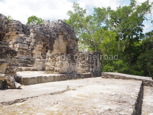
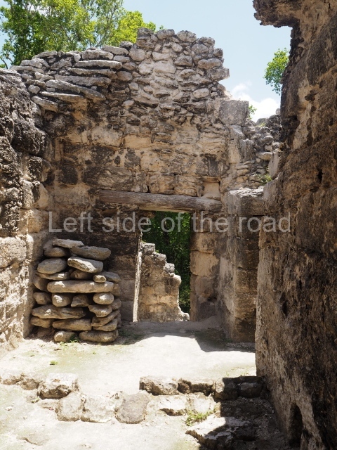
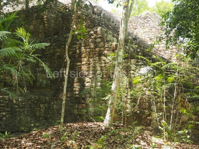
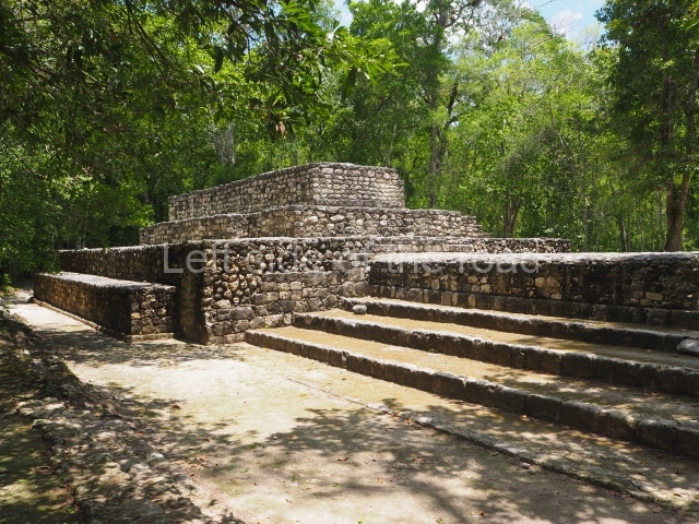
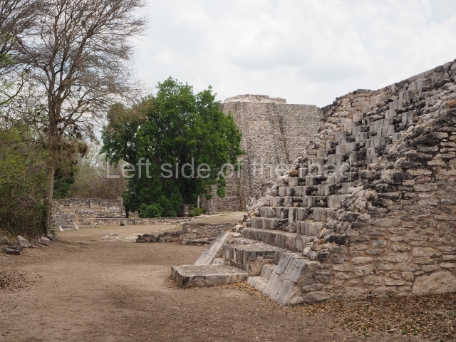
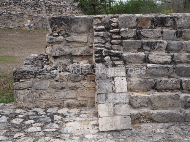
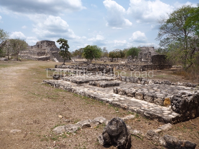
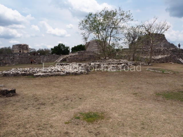
Calakmul – Campeche – Mexico

Calakmul

Calakmul

More on the Maya

Calakmul – Campeche

Location

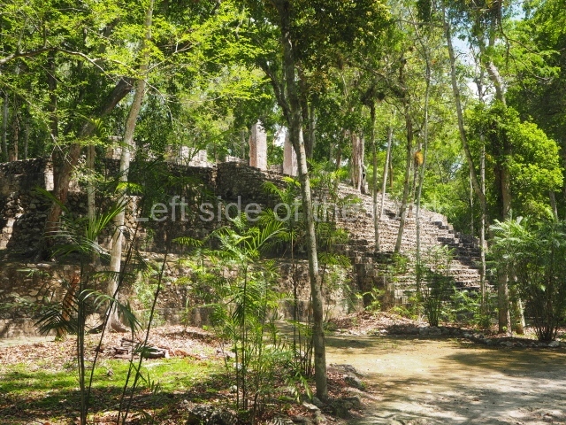
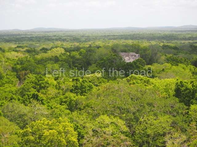
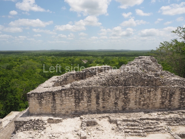
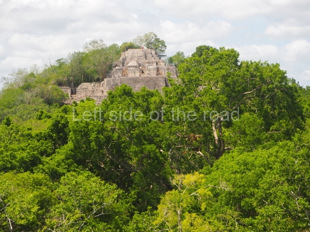
The site lies 155 km from Escarcega. Take Federal Road 261 to Conhuas and then, a few kilometres further on, the turn-off to Calakmul in the south. On this road there is a toll to enter the Biosphere Reserve and another one to enter the archaeological area. The journey from Campeche is approximately 310 km. This major Maya city is situated inside the Calakmul Biosphere Reserve. The Calakmul archaeological area was declared a UNESCO world heritage site in 1999. The name is a neologism composed of Yucatec Maya words meaning ‘mounds together’ or ‘mounds adjacent’. The name is a reference to the largest structures on the site, visible from the air or a distance as two great protruberances looming above the surrounding green landscape.

Timeline, site description and monuments

The earliest evidence of the site dates from the Late Preclassic, several centuries before the Common Era. The city reached its peak between the 6th and 8th centuries AD, before gradually losing its political influence and population, which migrated to other places. During the Postclassic, Calakmul was occasionally visited by pilgrims bearing offerings in recognition of its former glory.

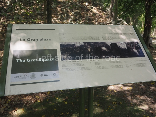
Great plaza.

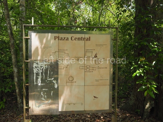
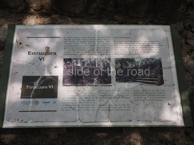
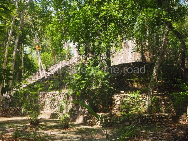
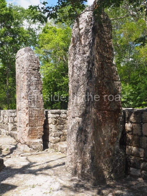
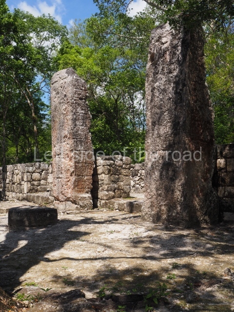
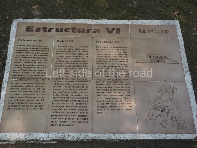
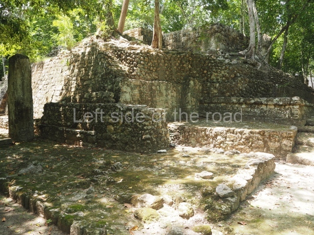
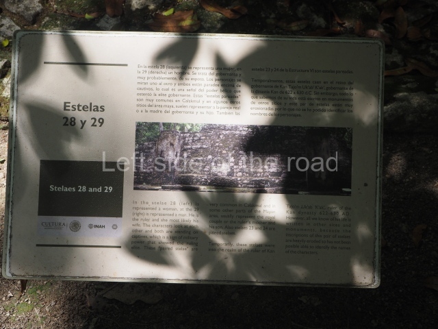
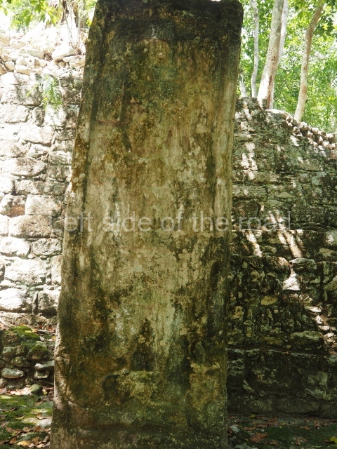
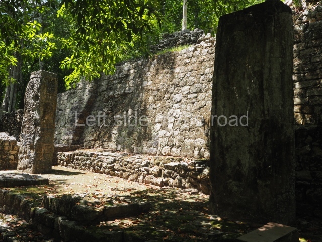
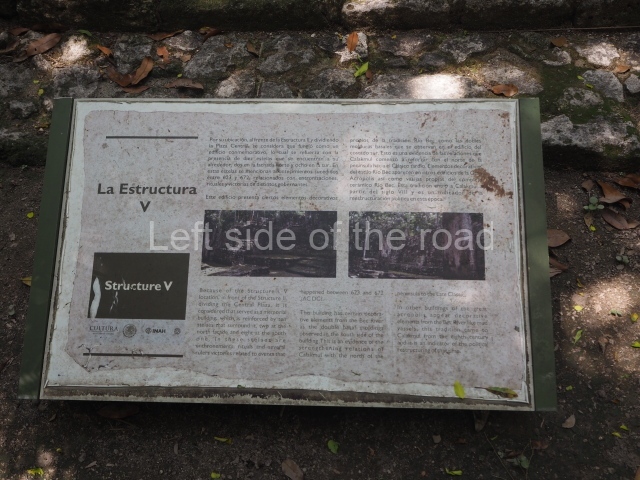
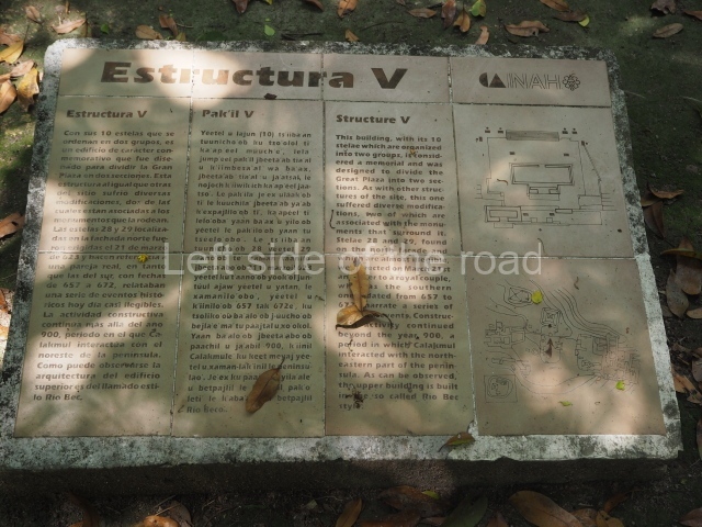
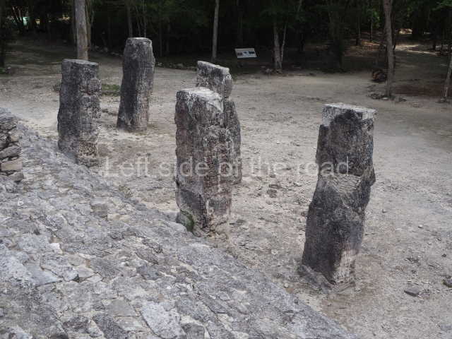
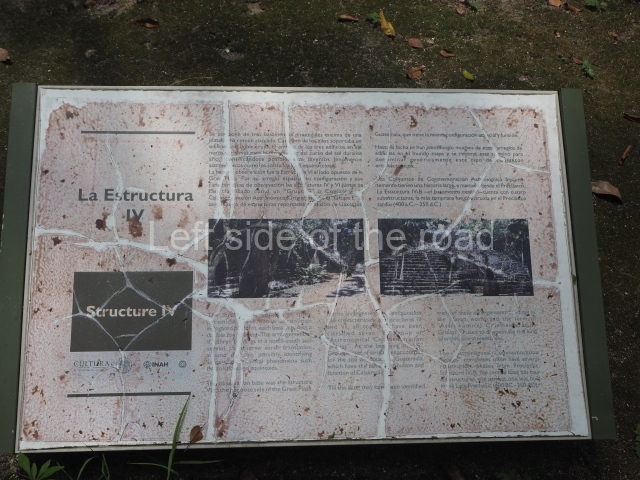
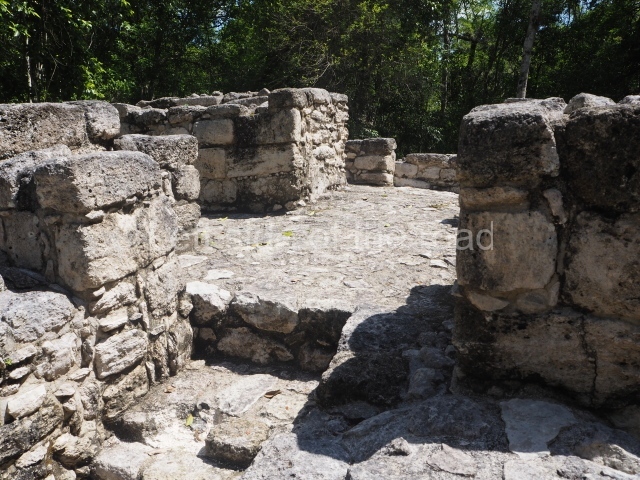
The tour of this site begins at the heart of the ancient metropolis. This plaza is 200 m long (north-south) and 60 m wide, and is delimited by Structures IV (east), II (south), VI (west) and VII (north). Structure V stands inside the plaza. Buildings IV and VI form a single structure used for astronomical observations, especially at the solstices and equinoxes. Building V is surrounded by 12 stelae that record important events in the life of various 7th-century-AD rulers, which suggest that it was used for the ritual celebration of commemorative ceremonies. Building VII measures approximately 40×47 m at its base, has an average height of 25 m and is surmounted by a shrine with three parallel rooms. The excavations uncovered the first tomb and grave goods of one of the Calakmul rulers, Yuknoom Took Kawiil, who was buried around AD 735. His jadeite mosaic mask, with its shell and obsidian eyes, became an emblem of the site.

Structure II.

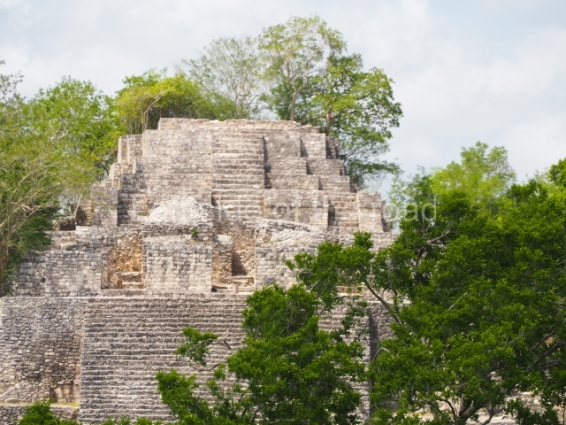
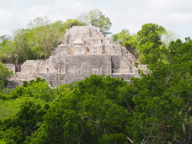
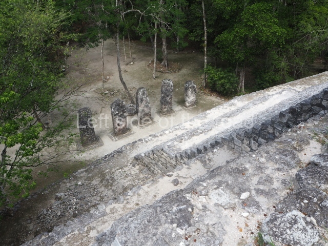
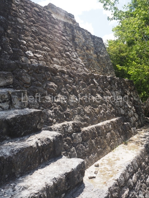
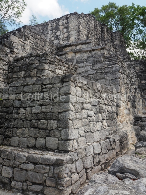
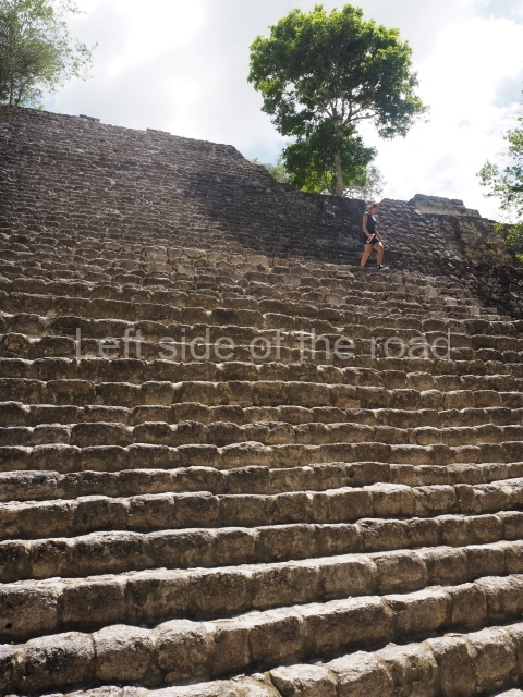
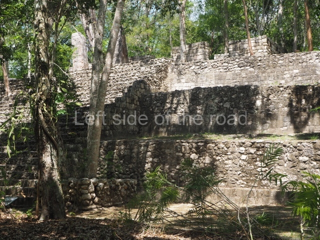
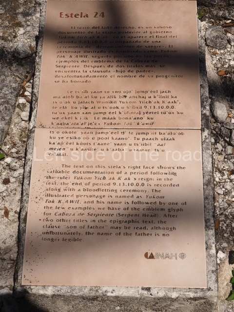
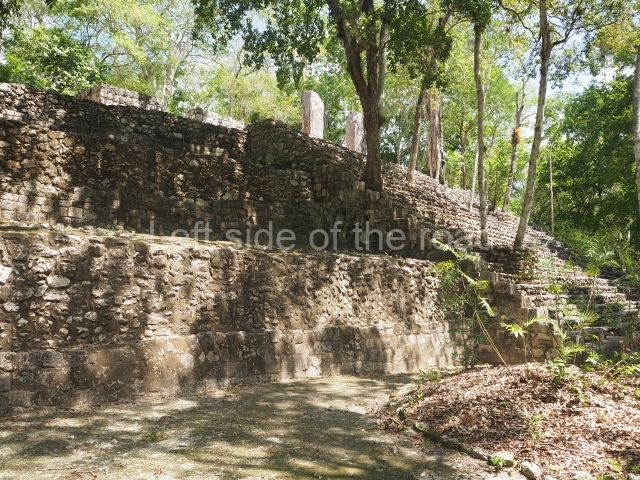
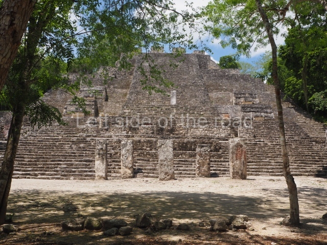
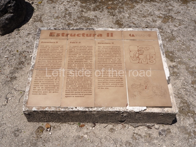
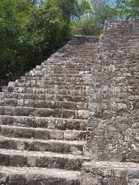
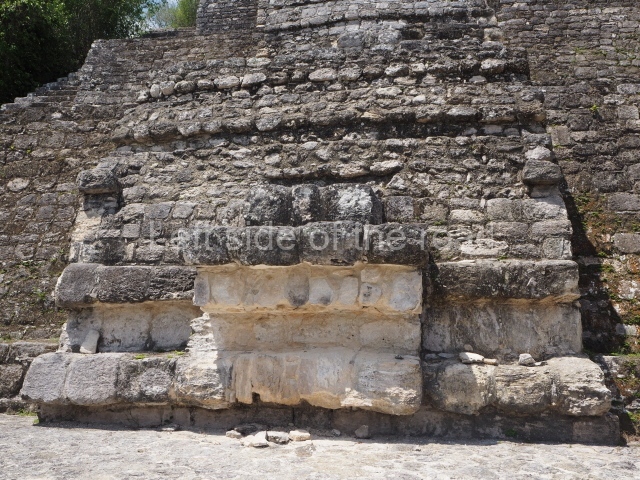
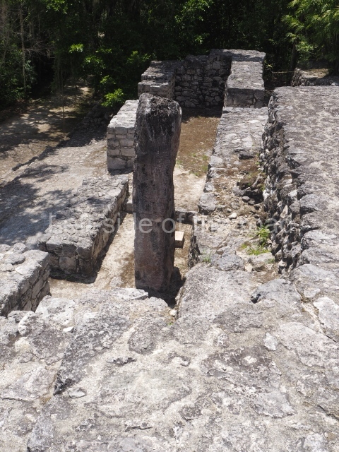
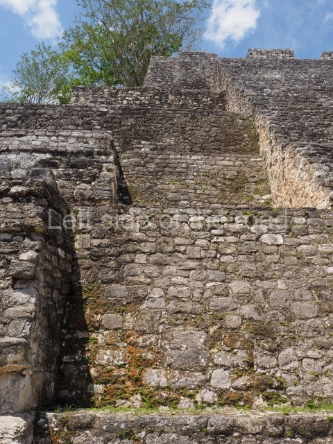
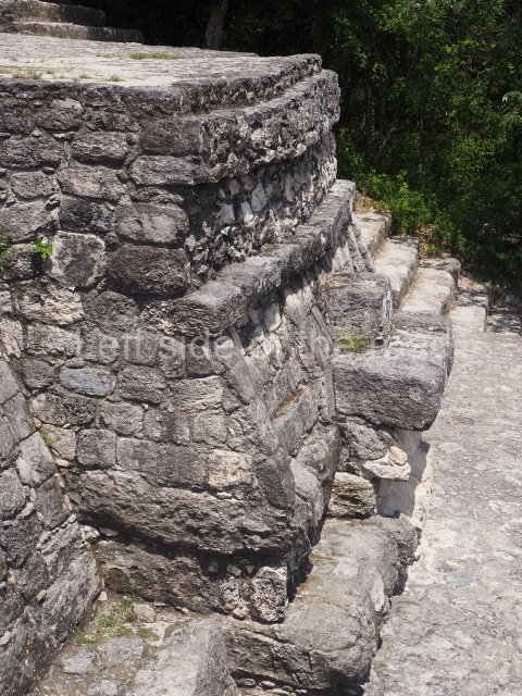
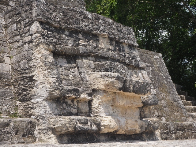
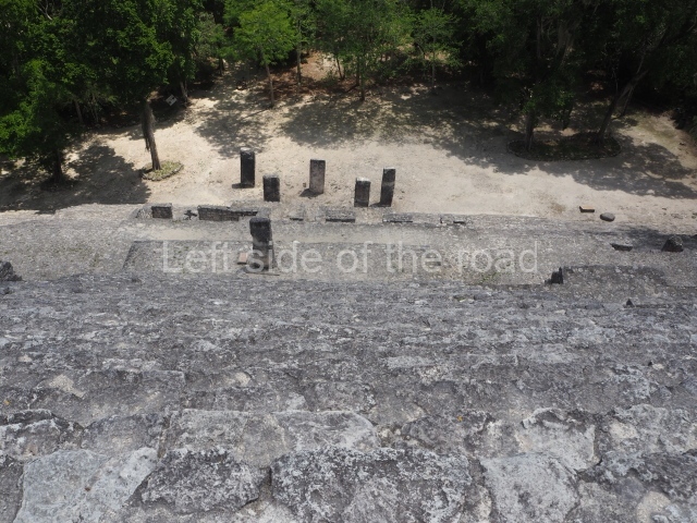
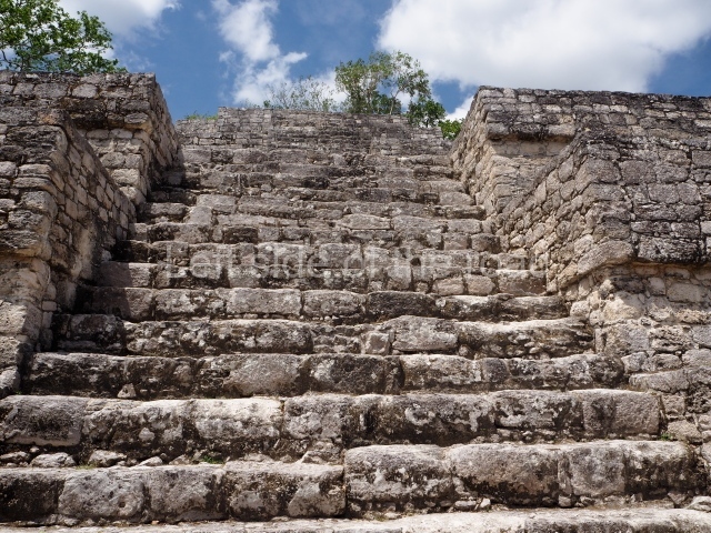
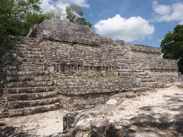
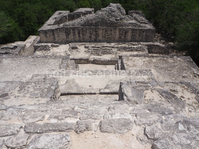
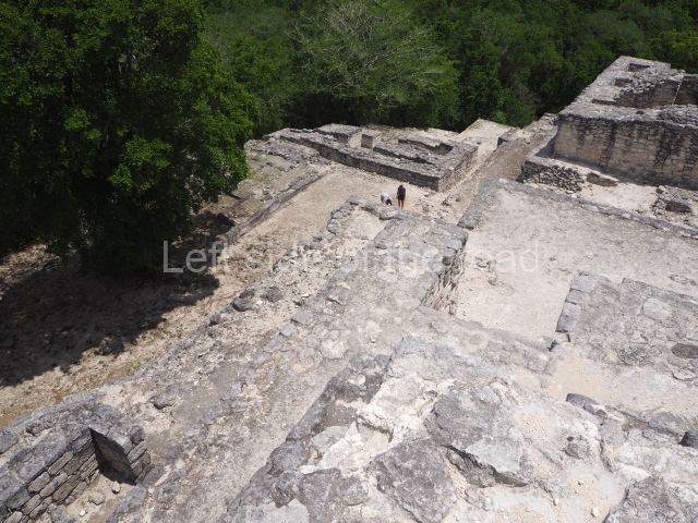
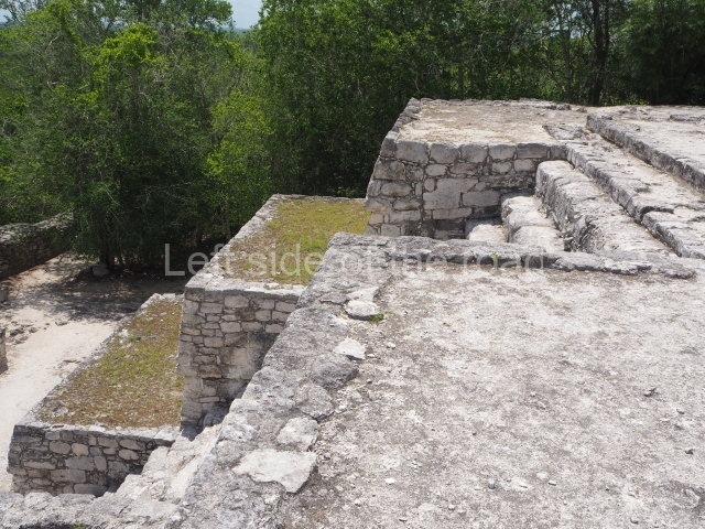
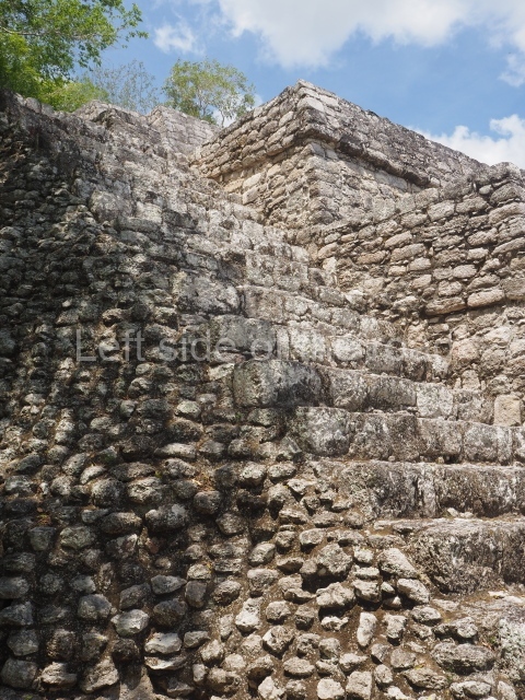
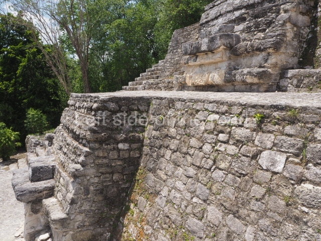
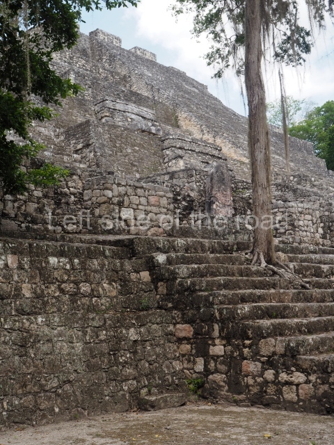
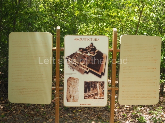
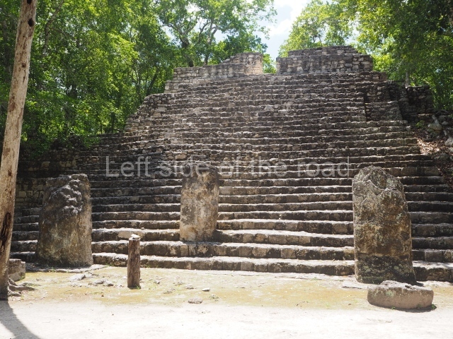
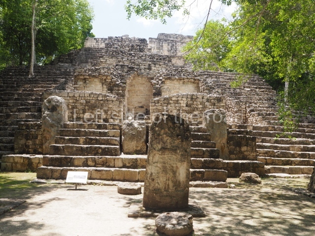
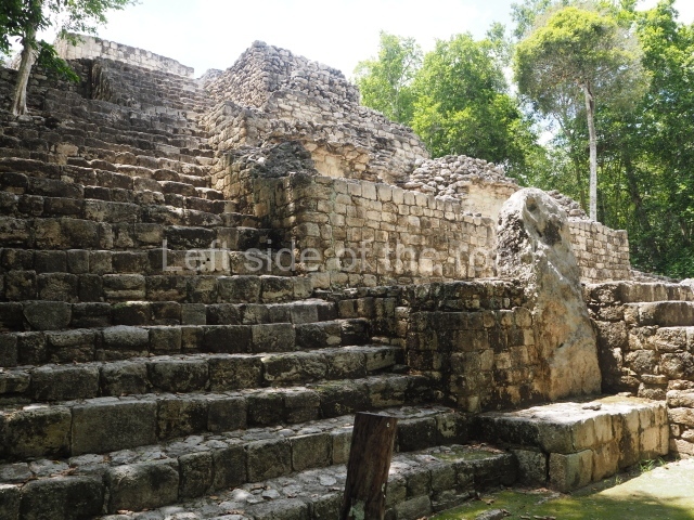
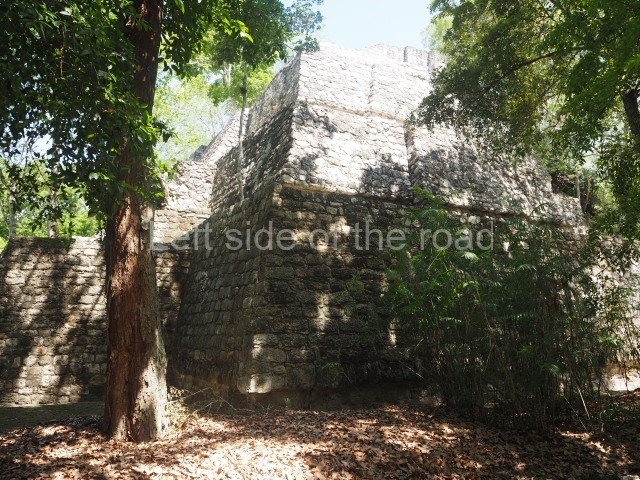
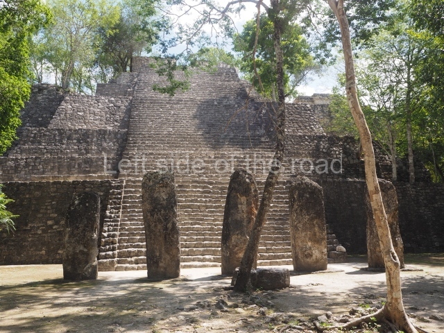
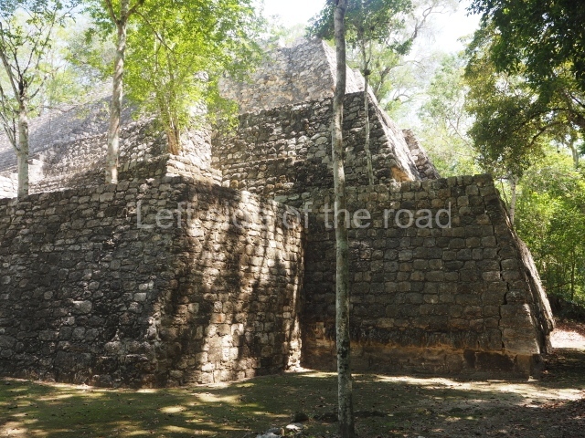
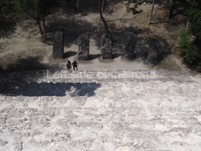
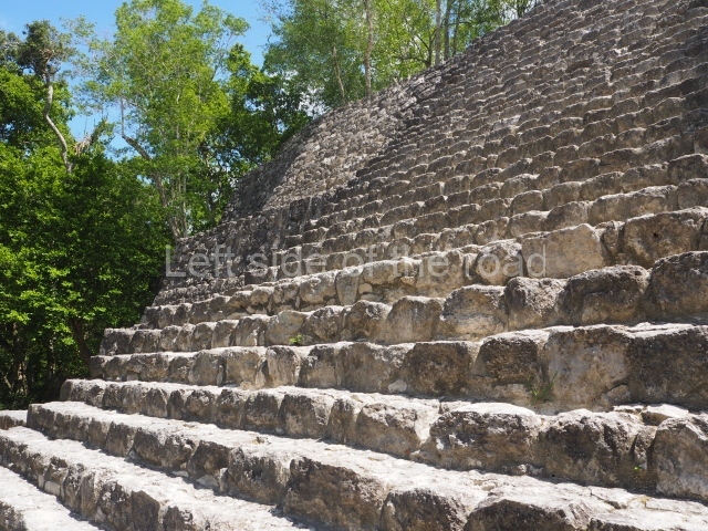
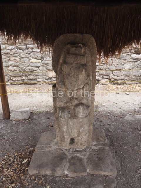
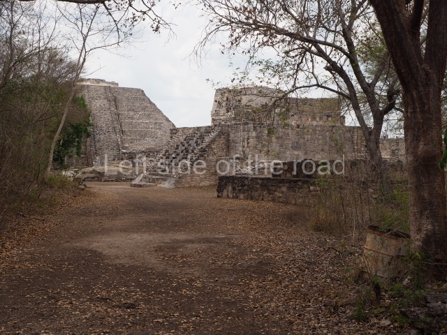
This is an enormous pyramid platform measuring approximately 140 m around the base and 50 m in height. It contains several sub-structures, having been added to over the course of 10 centuries to become the highest and largest construction on the site. At its base is a group of stelae dating from the AD 702 to 731. These are followed by several buildings and then three stairways, two at the sides and one in the middle. Flanking the latter stairway are the remains of four giant anthropomorphic masks, whose stucco cladding has now been lost. Two thirds of the way up is another tier, on which stands a large room with three entrances. The pyramid continues after this, again with three stairways, culminating in a flat section where a great temple must once have stood. Excavations inside Structure II have dated the earliest construction phase to the Late Preclassic (250 BC-AD 100). It contains a platform 107 m long (north-south), 75 m wide and approximately 8 m high, on which stood several buildings, all of them approximately 5 m high. One of them acted as the entrance to the inner precinct and its frieze still displays a stucco mythical allegory: two supernatural birds with human faces accompany a deity, possibly the rain god, who descends or advances towards the building entrance. The scene is covered and framed by a light blue band at the ends of which we see the head of a crocodile, the Celestial Monster. This representation has iconographical connections with monuments at Izapa, Takalik Abaj and Nakbe. Another later construction hidden inside Structure II revealed the tomb of the ruler known as Fire Claw (Yuknoom Yichaak Kahk), who was wrapped in a shroud, placed on a wooden dais and accompanied by rich grave goods comprising pieces of jade, ceramic, shell, feathers, stucco and jaguar claws.

Structure III.

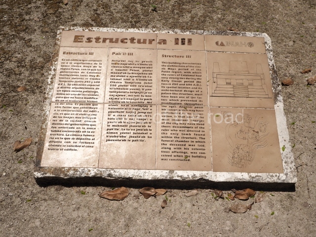
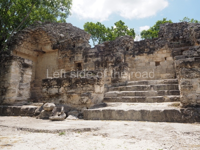
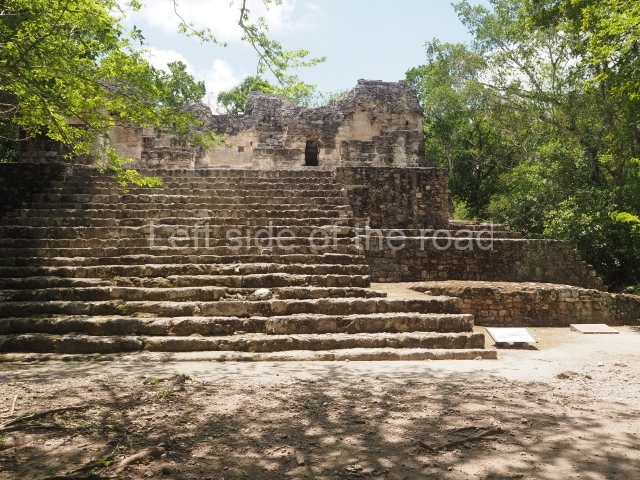
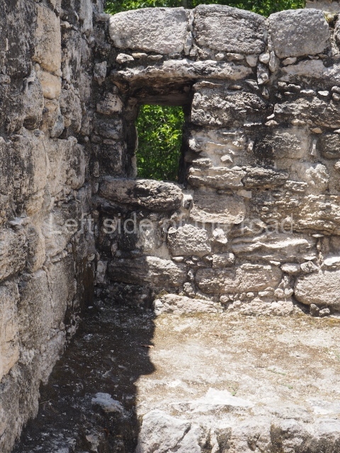
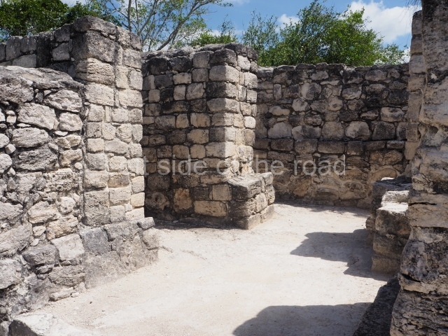
Situated 50 m north-east of Structure II, this was an elite dwelling with a broad stairway on its west side leading to 12 rooms. It is further enhanced by a platform 36 m long (north-south), 32 m wide and 5 m high. Both its architecture and narrow interior spaces confirm that it was built during the Early Classic, perhaps between AD 370 and 400. Some of the rooms had small windows and holes in the jambstones to hang curtains. The excavations also revealed a rich burial with three jadeite mosaic masks, one for the face and the others for the waist or breast, jadeite necklaces, shells, pearls, a stingray spine and a number of vessels. The remains of a piece of wood covered with stucco were also found.

Structure I

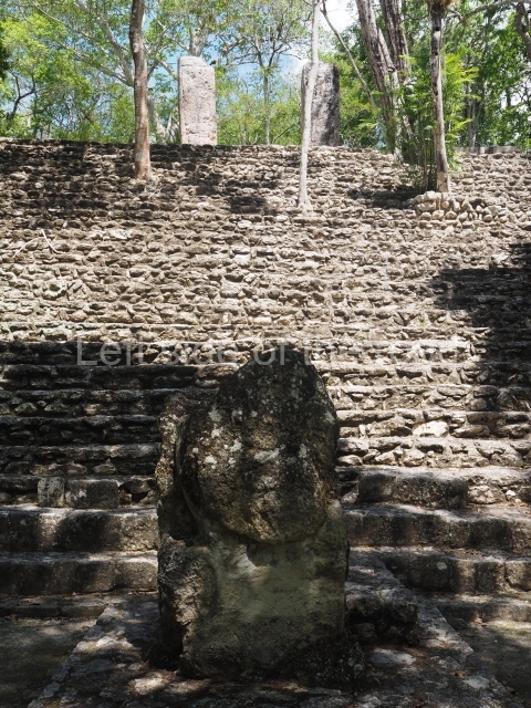
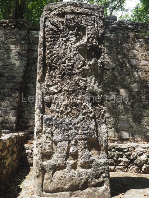
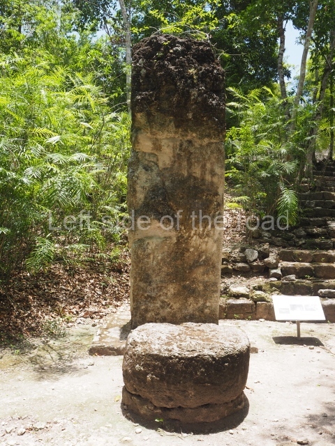
To the south of Structures II and III a path leads to the second-highest pyramid platform at Calakmul, measuring 100 m along each side and 40 m in height. Its main facade faces west and at its base and on several levels there are various stelae, some of which were mutilated in the mid-20th century. Fortunately, at the foot of the structure it is still possible to see three large monolithic altars forming a triangle; these symbolise the Uxte Tuuri (literally, Three Stones) or ‘primordial hearth’, one of the ancient names for Calakmul. At the top of the building is a shrine with a small room. The central stairway also appears to have been flanked by giant stucco masks; two examples were found but have been covered to preserve them.

Ball court.

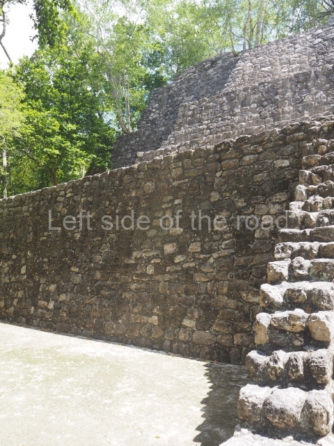
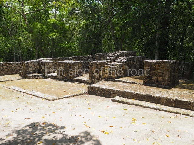
Situated in the west group at Calakmul, in the section known as the Great Acropolis, is a ball court (Structure XI) of modest proportions and a north-south axis, built around AD 750 with materials recycled from a previous construction, possibly during the reign of Bolon Kawii.

Structure XIII.

This is visible before you get to the Ball Court and is situated to the north of the latter structure. It takes the form of a pyramid platform, 43 m long and just over 8 m high. Its four tiers are fronted by a broad stairway. At the top is a two-storey building corresponding to two different construction periods. The associated stelae and altars indicate that it was built in the 8th century AD. To the west is a gallery with seven entrances formed by pilasters, erected before the platform, which now partly covers it.

Altar of the prisoners.

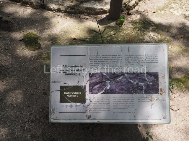
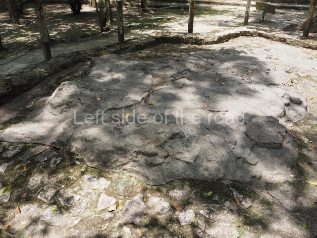
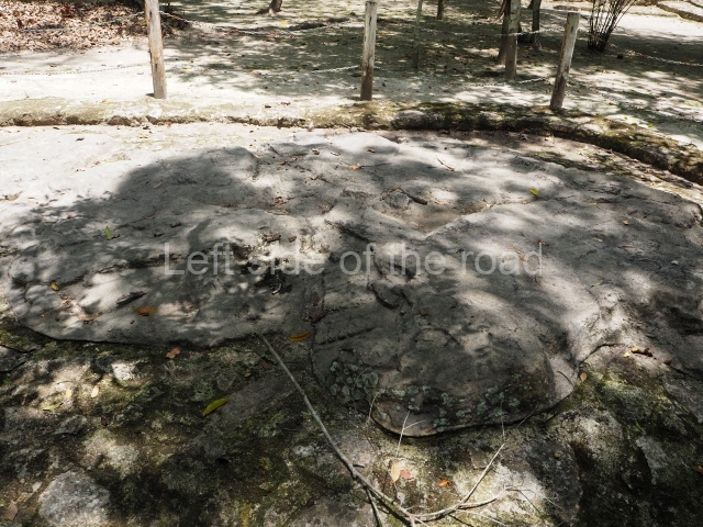
Just west of the Ball Court, the pre-Hispanic sculptors used an outcrop of limestone to form part of the urban design of the settlement. They gave it a semicircular shape (approximately 5 m in diameter) and carved the images of seven kneeling individuals with their hands tied, no doubt defeated in battle. Nowadays, the scene no longer visible, having been covered up to preserve it. It may have been used in the nearby Ball Court, where two teams competed and the losers were decapitated.

Structure XIV.

This stands east of the Ball Court with its main facade facing west. It contains several rooms from the 8th century AD and clearly marks the difference in height (approximately 3 m) between the east section and this structure, which was the entrance to the Great Acropolis.

Structure XV.

This is situated south of the former structure and is the product of several construction phases in the 7th century AD. The archaeological excavations revealed three funerary chambers. One of them seems to have contained the remains of the wife of Yuknoom Cheen the Great (600-686), also the mother of Fire Claw, who ruled Calakmul between 686 and 695. Her grave goods included numerous jadeite objects, shells and ceramics. The corpse was wrapped in strips of chicle or gum, which explain why it is exceptionally well preserved and also why it so fascinating to us today.

Structure XVI.

This is situated opposite the previous structure, facing west of the latter. The platform measures 100 m long (north-south) and 80 m wide, and behind it is a large courtyard with various rooms. A palatial complex with restricted access, it has only been partly excavated and to date only eight stelae have been associated with it. Some of the dates inscribed on these go back to the end of the 7th century and beginning of the 8th century AD.

Structure XVII.

We are now in the south-east section of the Great Acropolis, in a partly excavated building, approximately 50 m in length with a broad stairway leading to a two-room construction. An associated stela is inscribed with the date AD 790.

Structure XX.

This lies west of the Ball Court and the Altar of the Prisoners. It is approximately 36 m long and almost 4 m high. The excavations have uncovered evidence to suggest that this section of the Great Acropolis has a long history, commencing in the early centuries of the Common Era and with successive modifications virtually until the city was abandoned. The view from the top provides a good idea of the control exercised by the few families who had access to the Great Acropolis.

Structure XIX.

Situated north of the previous structure, this has been excavated and partly restored. It contains several rooms, some of them with benches. The main facade has a broad stairway and faces north, which suggests that it was the main entrance to the Great Acropolis from this side.

Wall.

To the north of Structure XIX a path leads to the remains of an ancient wall, just over 6 m high when viewed from the outside and approximately 2 m thick. There is no evidence to suggest that it was a defensive structure as it does not surround the core of the site. It may well have acted as a boundary for the city’s ceremonial precinct, to control access from the northern sections.

Residential units.

The north-east and north-west sections of the Great Acropolis offer an overview of the housing occupied by the families closest to the rulers. The unit known as the House of the Owner of the Sky (Utsial Caan) has a small open space at the centre, approximately 75×50 m, with an underground tank for rain water (chultun); its only access is via two narrow entrances on the south and west sides (the east side was open to facilitate the flow of people). The space comprises 13 rooms, many of them with benches, arranged around three interior courtyards. The entire complex was surrounded by a wall some 4 m high. A little further to the west is the residential unit known as the House of the 6th Ahau (Wac Ahau Nah), a similar but smaller complex, thus called because of the discovery of a capstone inscribed with the date 6 Ahau. This unit has a 65 sq m courtyard surrounded by eight large rooms and a smaller one, possibly a storeroom, each with its own entrance. The rooms have a surface area of between 10 and 15 sq m, mainly taken up by benches. Their occupants may have obtained water from an open tank or the aguada situated some 300 m from the Great Acropolis.

Chiik Naab acropolis.

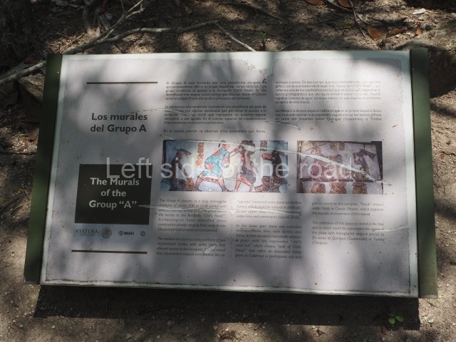
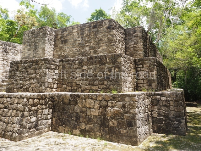
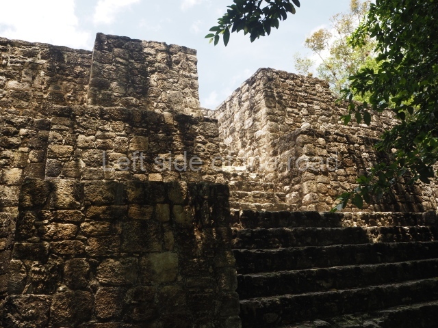
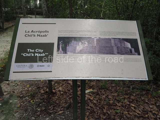
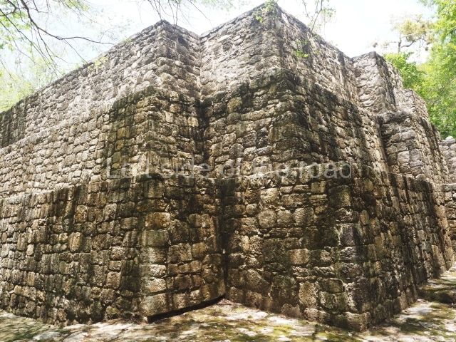
This group of buildings lies 150 m north-west of Structure VII. Many of the buildings face the cardinal points, and all of them surround an irregular quadrangle which for a time functioned as a market. The excavations have shown that several of these buildings were actually residences. Another interesting find was a construction that seems to be half-walkway and half-bench. Over 200 m in length, it displayed traces of mural paint in the sections that had been covered by subsequent works. The motifs represented show an aquatic setting: small waves, herons, turtles, snakes, fish and water lilies. There are also large hieroglyphic cartouches inscribed with the toponym Chiik Naab or water lily, a term that appears to refer to the core area of Calakmul. In another building in the eastern section traces of mural paint were detected on a construction that had been carefully covered in ancient times. This is a small three-tier pyramid platform whose walls display various scenes in a naturalistic style, like that of many polychrome plates and vases. Different people are depicted participating in a festivity at which atole is drunk, tamales are eaten and tobacco is smoked. The associated glyphs confirm these activities. There may also be scribes and a bearer with a large cooking pot on his back. Like the vessels depicted in the paintings, the analysis of the associated ceramic materials suggest that they date from the 7th century AD. Outside the core area of Calakmul there are thousands of remains from more modest dwellings, which must have once had stone foundations and walls and roofs of perishable materials. These correspond to the population at large, the people responsible for providing water, food and labour to those of a higher social rank.

Importance and relations

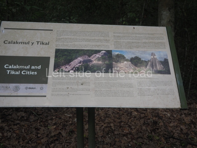
The kingdom of Kaan or the Serpent was one of the most powerful polities in the Classical period. During AD 500 to 800, it eclipsed Tikal, its great rival. Calakmul also boasted two emblem glyphs: one to denote its territorial power, Kaan, symbolised by a serpent’s head, and another to refer to the core area of the city, Chiik Naab, which means something along the lines of ‘place of the water lily’. Like the serpent and its mythical connotations, the water lily (Nymphaea ampla) is a flower typically associated with the Maya world and it had an important symbolic role, evoking the waters that provided access to the underworld. The water lily was often represented in the grave goods or the headdress of high-ranking dignitaries. The importance of Calakmul lies not only in its monumentality and vast surface area (over 30 sq km), but also in the rich history contained in its material remains. It boasts several jadeite mosaic funerary masks, vessels inscribed with hieroglyphic texts and symbolic images and mural paintings, all of which have outstanding aesthetic and cultural merits, as well as enriching our knowledge of the Maya civilisation. Calakmul is the site with the largest number of registered stelae: 117 in the year 2000. Some of them were smooth (25), others mutilated or stolen in the first half of the 20th century, and others with inscriptions and images that have enabled us to reconstruct most of the dynastic history of Calakmul and other places associated with it. Numerous vessels have been found in funerary contexts at Calakmul, as well as a variety of elements that formed part of the attire of the officials interred: jadeite masks, breastplates, ear ornaments and necklaces; pieces of shell and conches, objects made of obsidian, stucco, etc. Most of these materials are now on display in the Archaeology Museum in Campeche City.

From: ‘The Maya: an architectural and landscape guide’, produced jointly by the Junta de Andulacia and the Universidad Autonoma de Mexico, 2010, pp339-344.

Calakmul

Calakmul

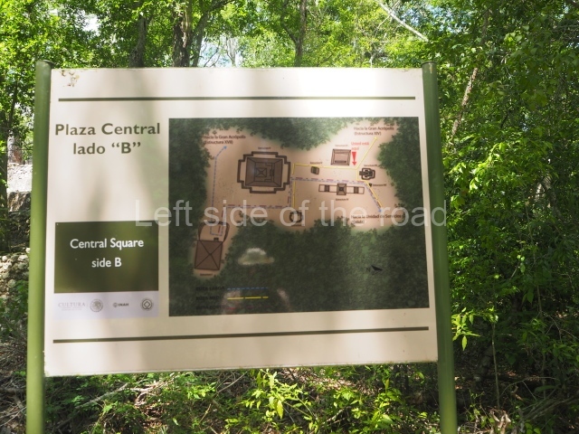
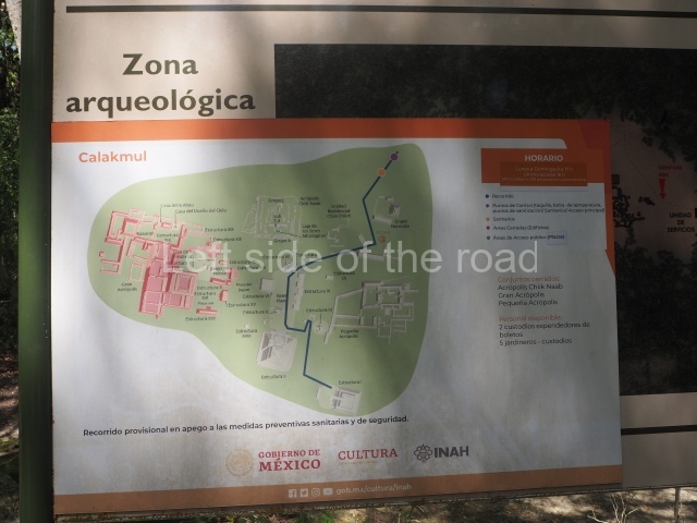
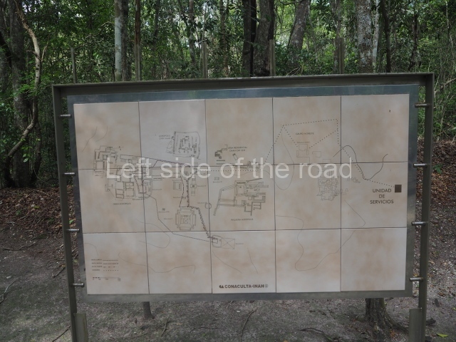
1. Central Plaza; 2. Structure II; 3. Structure III; 4. Structure I; 5. East Group; 6. Great Acropolis; 7. Ball Court; 8. West Group; 9. Acropolis Chiik Naab.

Getting there:

There is basically no way you can get to Calakmul either without your own transport or by taking one of the many versions of an organised tour. There are presently no places to stay any closer than about 60 kilometres (although a very expensive resort is in the process of being constructed – as part of the Tren Maya project).

GPS:

18d 06′ 23″ N

89d 49′ 01″ W

Entrance:

M$270 – the combined cost of entrance to the National Park and entrance to the archaeological site, paid in two parts, the first just off the main road 60 kilometres from the site, the second at the site itself.

More on the Maya

Mayapan – Yucatan – Mexico

Mayapan

Mayapan

More on the Maya

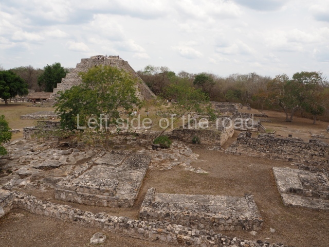
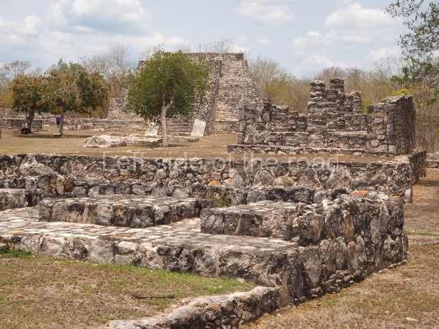
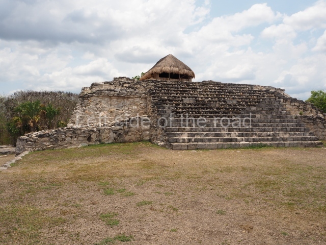
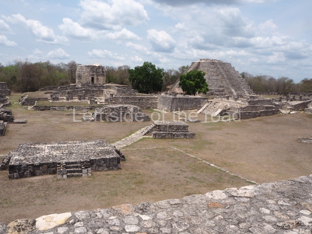
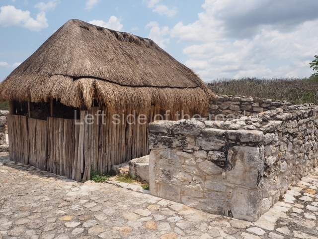
Mayapan – Yucatan

Location

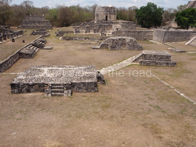
Mayapan is situated 43 km south-east of Merida and 2 km south of the village Telchaquillo. The karst nature of the soil in the Mayapan region has given rise to rocky outcrops and natural depressions, cenotes (wells), caves and holes. The climate is of the hot sub humid variety with the rainfall occurring in the summer months and an average annual temperature of 22° C. The flora consists of deciduous trees and secondary low scrubland.
Pre-Hispanic history

The archaeological evidence suggests that Mayapan was inhabited from before the Common Era until the decline of the city around AD 1450. The data obtained is very general, indicating that people lived in or around the site from the Preclassic and Early Classic periods (300 BC-AD 600). Several stones used in the construction of new temples and residences have survived from the early periods. Mayapan experienced its heyday in the Postclassic period (AD 1050-1450), when it was the seat of a coalition government and the last great centralised capital that ruled over the provinces in the north-west and centre-north of the Yucatan Peninsula.

The first chronicler who mentioned Mayapan was Gaspar Antonio Chi. His father, the priest Napuc Chi, a dignitary of the Xiu, was murdered by Nachi Cocom in 1536; his mother was lx Kupil, of the Mani royal family. Gaspar Antonio was an informant of Brother Diego de Landa and wrote his own chronicle in 1582, where he mentions the importance of the Xiu family and the fact that the city fell in 1420. Around 1560, Brother Diego de Landa mentions that Mayapan was founded by Kukulcan (Quetzalcoatl) in the year Katun 13 Ahau (AD 1263-1283) – when Chichen Itza fell and was abandoned – who ruled for some time and then left for the centre of Mexico. The Chilam Balam notes the existence of a coalition government between Uxmal, Chichen Itza and Mayapan, nowadays known as the Triple Alliance. The archaeological excavations have not corroborated this entirely due to the chronological differences between the three sites: Chichen Itza and Uxmal both experienced their heyday prior to Mayapan. Around 1380, the main rulers decided to form a coalition government, which marked the beginning of a regime led by the Cocom family – as the richest and oldest lineage – until its defeat. The Xiu then arrived from the south and occupied the second position within the Mayapan government due to their diplomatic conduct and administrative expertise. The chronicles refer to the multepal or coalition government led by the Cocom, Xiu and Canul lineages, which occupied Mayapan the longest. Towards the middle of the 15th century, in the Katun 8 Ahau (AD 1441-1461), Mayapan was destroyed, burned and abandoned. The chronicles state that there was a battle to seize control of the walled precinct and dissolve the coalition government.

Site description

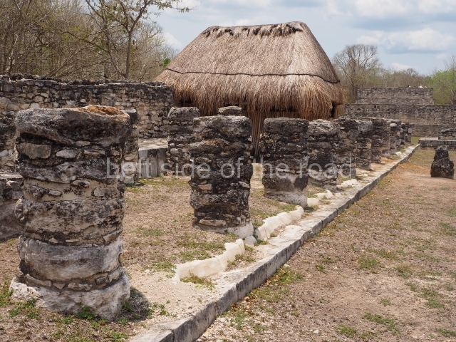
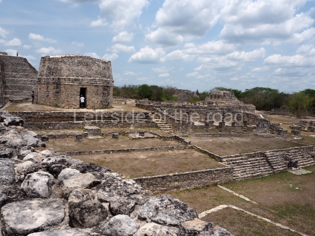
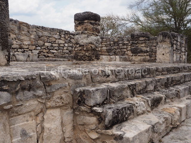
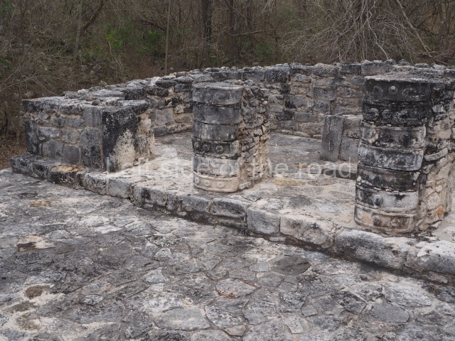
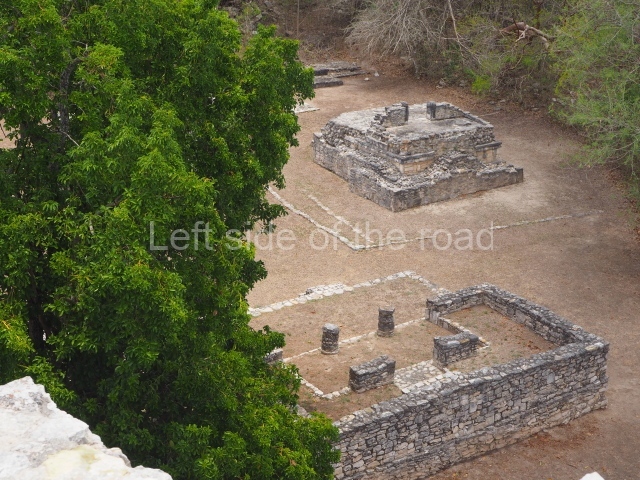
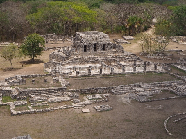
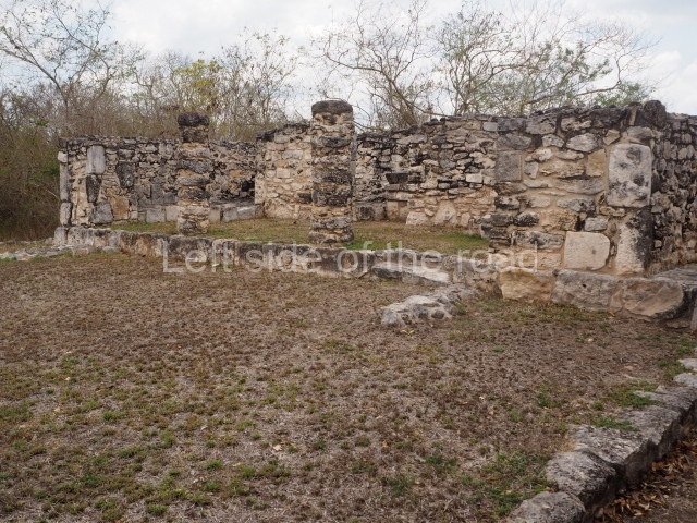
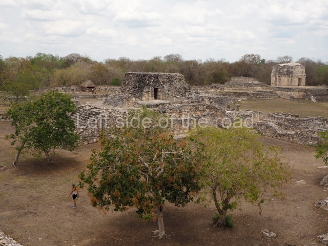
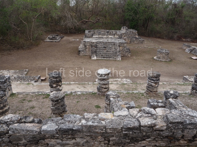
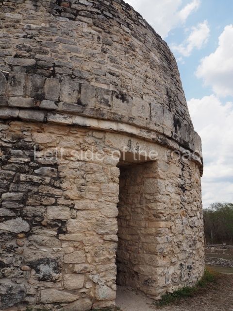
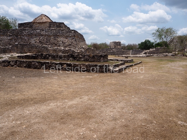
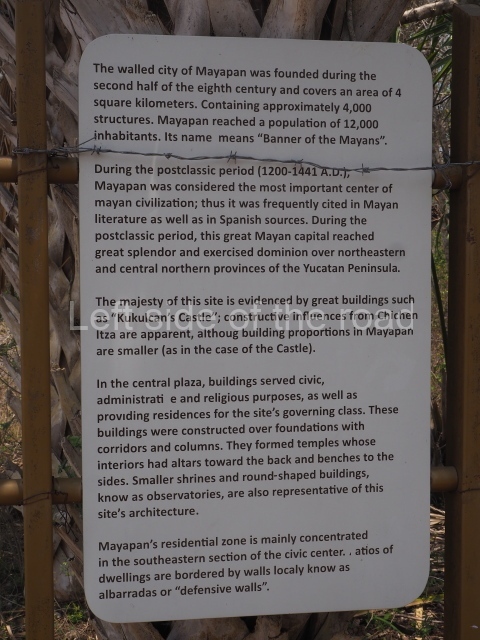
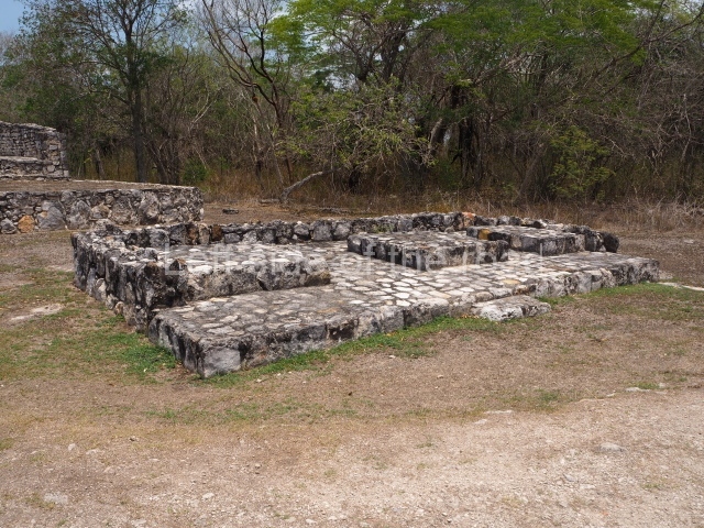
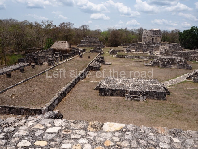
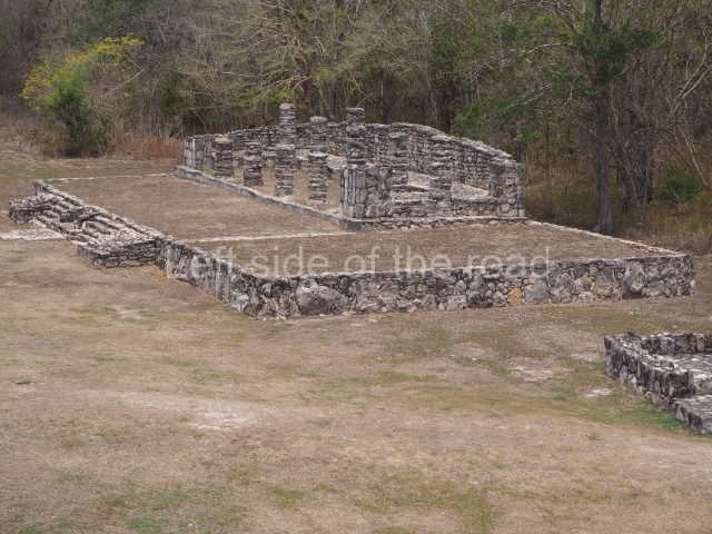
The city of Mayapan is surrounded by an elliptical dry wall which has a circumference of over 9 km and encompasses an area of 4.2 sq km; situated inside it are around 4,000 structures and it is estimated to have had a population of 12,000. The core area comprises the civic, administrative and religious buildings, as well as the residences of the ruling class; these are spacious hypostyle rooms, temples and oratories, constructed on platforms, with wide entrances divided by columns, an altar or shrine inside, abutted to the rear wall, and benches along the sides. Circular buildings known as ‘observatories’ are also characteristic features at Mayapan. Situated inside the walls is the residential area where the population lived, principally in the south-east section. This was the place where the ‘houses for the lords’ were built, ‘between whom they divided up the land, giving villages to each according to the antiquity of their lineage and nature of their person’. This section contains most of the housing and the dry walls that delimit the plots. There are also residential constructions beyond the perimeter wall where the common people lived.

Castle of Kukulcan

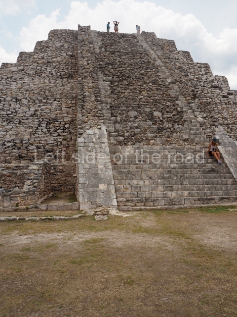
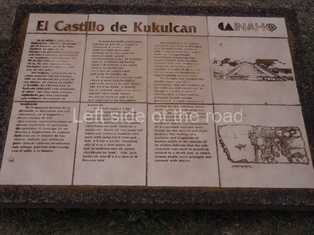
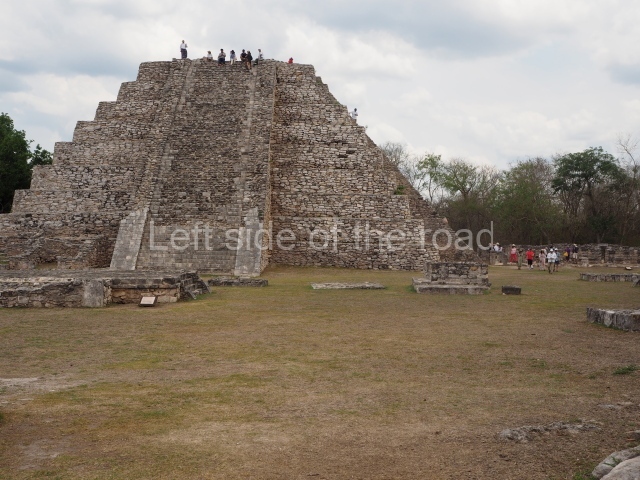
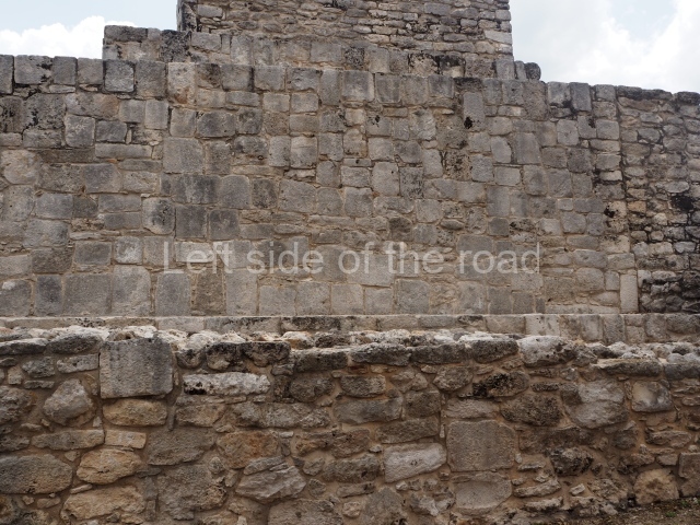
This is situated on the south side of the Central Plaza and is the highest building at Mayapan. It adopts the form of a nine-tier echeloned platform with rounded corners, measuring 30×30 m and standing 18 m high. Each side has a stairway with balustrades. Atop it is a temple with a north-facing facade, the entrance of which consists of a two-column portico once decorated with serpents. There is a sub-structure at the south-east corner of the pyramid, with representations of decapitated warriors in moulded stucco. The discovery of fragments of human skulls inside the niches of the sub-structure confirm that it was used for placing stucco-covered heads, a practice associated with death worship.

Crematorium

The second-highest pyramid at Mayapan, this is situated on the west side of the North Plaza and is surrounded by a wall on three sides. The structure shows two construction phases comprising four sloping tiers with rounded corners, a temple at the top and a stairway with balustrades on the east side. The temple at the top has a triple entrance separated by two columns and there is a shrine inside. A tomb 7 m deep containing burials was found at the top of the platform. The building is 20 m long, 17 m wide and 8 m high.

Round temple

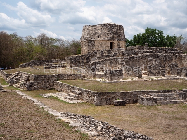
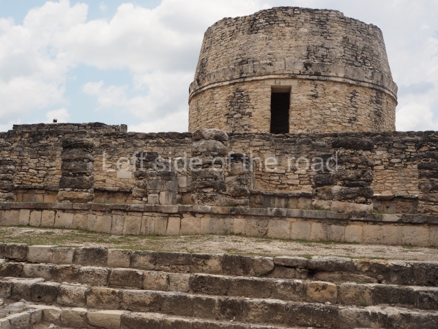
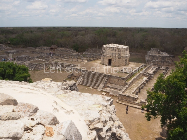
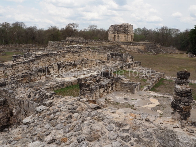
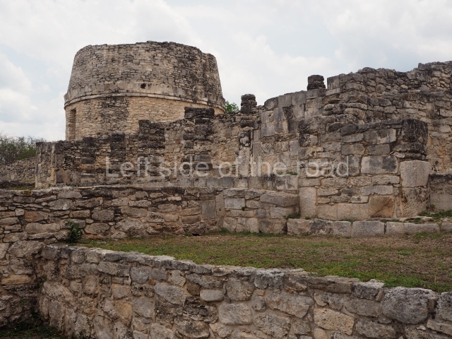
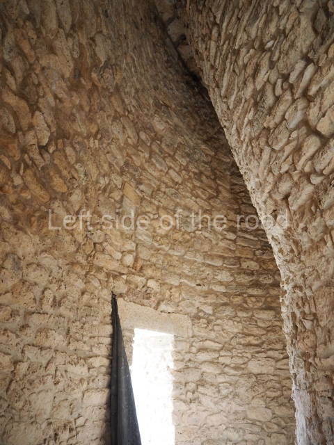
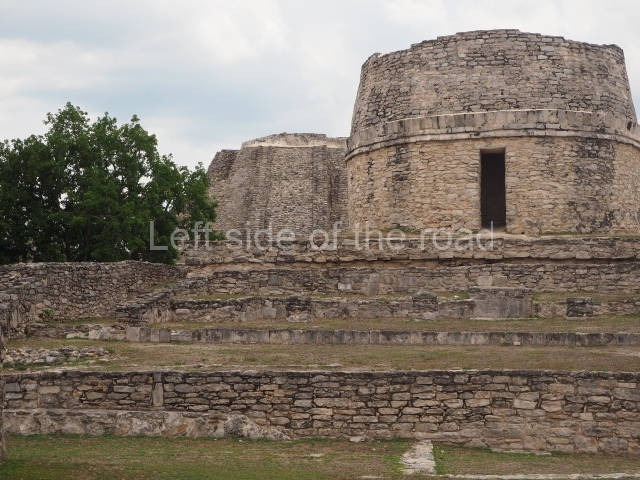
This is situated on the east side of the Central Plaza. It is a rectangular platform with moulding around the top and a balustraded stairway. It is 20 m long, 18 m wide and 3.5 m high. At the top is a circular, vaulted temple 10.20 m in diameter and 7.50 m in height, with four entrances and thick walls 1.15 m wide. The central part of the temple consists of a cylindrical volume 4.50 m in diameter with four niches in the lower section, two of which show traces of mural paint. This volume and the walls form the interior space, measuring 2.75 m in width and 6 m in height. There are also two small constructions – a small altar on a dais and a shrine – on the north side of the stairway.

Temple of the painted niches

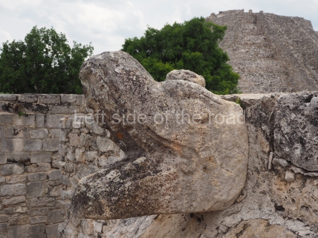
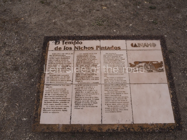
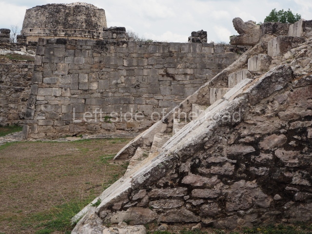
This is situated on the south side of the North Plaza and stands 7.50 m high. There is a stairway on the north side of the Plano de la Plaza Central de Mayapan: platform, built in two stages. The temple at the top is composed of seven rooms; two have niches inside and one of them has traces of mural paint depicting the facades of five temples, where the niches symbolise the entrances; the designs are outlined in black and painted in blue, red and yellow. The temples rest on serpent heads with open mouths, painted green, black, yellow and red.

Temple of the Fisherman

This occupies the north side of the North-East Plaza. The platform has sloping walls and a cornice on two of its four construction phases; it is 21 m long, 17.40 wide and 5 m high. The stairway leading to the temple is on the south side; the latter has a single bay with two pilasters at the front and a dividing wall. In the east room are two benches and an altar in the middle. The west bench contains traces of a scene depicting a human figure catching a lizard and fish.

Hall of the masks

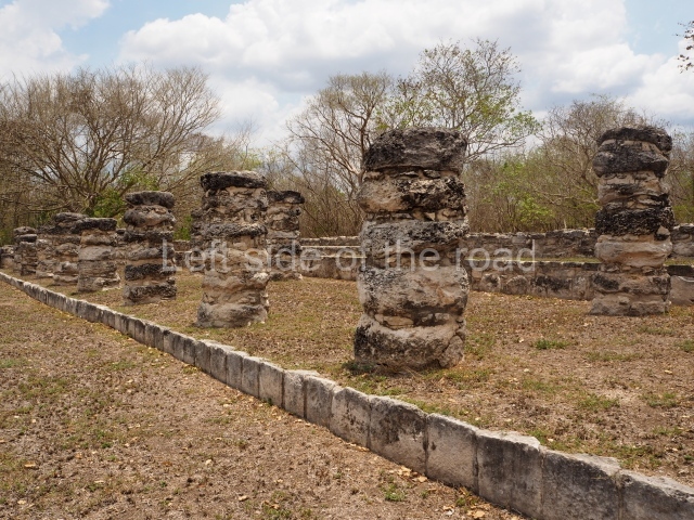
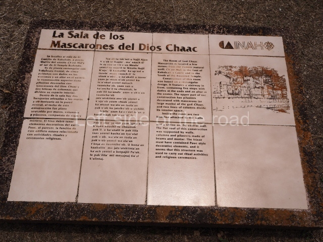
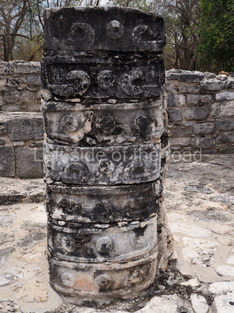
Situated south of the Round Temple, the platform has a five-step stairway with finial blocks and an altar in the middle. The hall contains pilasters decorated with masks of the god Chaac, two rows of columns, two benches abutted to the walls and a shrine in the middle.

Fresco hall

This adjoins the lower sections of the east side of the Castillo. The building has columns on three of its sides and pilasters at the north-east and south-east corners; in the middle is an L-shaped wall with a bench on the north side and an altar in the middle. There are traces of paint on the central wall. The scene consists of red and yellow marks which frame richly attired figures in profile, painted red and yellow on a blue background. The figures hold a circular banner with representations of sun disks.

Hall of the kings

In this building the columns rise from an artificial platform at the south-west corner of the Central Plaza. There is a central wall with an intermedial entrance, a bench with moulding and pilasters at the corners. The excavations uncovered the stucco faces of the important personages that decorated the columns.

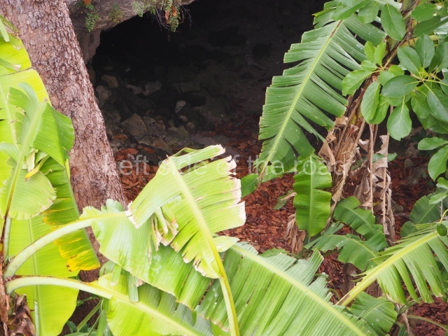
Temple of the Chen Mul cenote

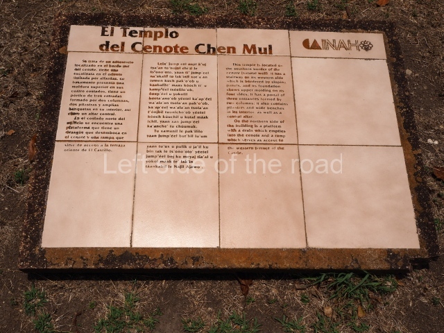
Situated on the south bank of the cenote, this oratory displays a balustraded stairway and moulding along the top of the platform. The temple is fronted by a portico with three entrances formed by two columns, two pilasters, benches and an altar inside. On the north side of the building there is a sloping platform for rainwater to drain into the Chen Mul Cenote and a ramp leading to the Castillo terrace.

Temple of the warriors

Situated on the west side of the North-East Plaza, this is a two-tier platform with a temple at the top with three entrances and a shrine and altar inside. It is accessed via a balustraded stairway which culminates in finial blocks and serpent heads.

Temple of Venus

This is situated in the West Plaza of Mayapan. It takes the form of a square platform with two mouldings; there is a balustraded stairway and a shrine at the top.

Ceramics

Mayapan contains a wide variety of types and forms of ceramics. The most interesting are the effigy incense burners, which denote different decorative techniques to personify the gods. The pottery comprises finely made polychrome vessels as well as coarse monochrome pots for domestic use.

Importance and relations

This great Maya capital established in the second half of the 13th century was the most important centre of the Maya civilisation during the Postclassic period (AD 1050-1450), exercising its domain over the provinces in the north-west and centre-north part of the Yucatan Peninsula until just before the Spaniards reached the continent. The magnificence of the city is manifested in the grand and densely concentrated buildings. The architectural characteristics denote the strong influence of Chichen Itza. The main building at Mayapan, known as the Castle of Kukulcan, is a smaller version of the Castillo pyramid at Chichen Itza. Roys suggests that the Mayapan government was in some way associated with the island of Cozumel and Champoton. There is another walled site in the Chetumal region that existed at the same time as Mayapan, called Ichpaatun.

Carlos Peraza Lope

From: ‘The Maya: an architectural and landscape guide’, produced jointly by the Junta de Andulacia and the Universidad Autonoma de Mexico, 2010, pp 412-417.

Mayapan

Mayapan

1. Castle of Kukulcan; 2. Round Temple; 3. Temple of the Painted Niches; 4. Hall of the Masks; 5. Fresco Hall; 6. Hall of the Kings; 7. Temple of the Warriors; 8. Temple of Venus.

Getting there:

Bus station on Calle 50, near corner of Calle 67 in Merida. Buses leave 05.30, 07.30. 09.30. Drops you at slip road to site. M$30.

GPS:

20d 37′ 56″ N

85d 27′ 32″ W

Entrance:

M$70

More on the Maya

San Gervasio, Cozumel – Quintanna Roo – Mexico

Main entrance to the Mayan site

Main entrance to the Mayan site

More on the Maya

San Gervasio, Cozumel

Location

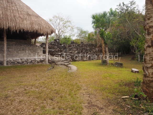
The archaeological area of San Gervasio is situated on the island of Cozumel, or Cuzamil (‘place of swallows’) as it was called in ancient times. The pre-Hispanic settlement lies 7 km north-east of the present-day town of San Miguel de Cozumel and is easily reached by road. The site was built on a natural elevation just under 10 m high and nearby are a few cenotes and aguadas, as well as numerous ak’alches, natural hollows that fill with water in the rainy season. In the 19th century, the site formed part of a livestock ranch owned by a man called Gervasio, from whom it takes its present-day name. According to a reference in the Chilam Balam de Chumayel, the original name of the pre-Hispanic site may have been Tan Tun (place of rocks’).’

Pre-Hispanic history

The earliest traces of occupation correspond to the Late Preclassic, when the communities were grouped into small villages with rudimentary constructions whose inhabitants survived by fishing, hunting and farming. Evidence of this first period can be found at one of the groups at San Gervasio: El Ramonal. In the Early Classic, the population grew and began to produce masonry architecture. By then, the site had probably become a principal civic, administrative and ceremonial centre for the island. In the Late Classic, the site extended its constructions and achieved greater political and religious importance, exerting its influence over other nearby communities. During the Postclassic period, San Gervasio flourished as an important trading centre, mainly due to the existence of a major maritime trade route stretching from Tabasco and Campeche, in the Gulf of Mexico, to Honduras. In terms of its religious importance, it became a mecca for thousands of pilgrims who flocked to the temple of the goddess Ixchel, the region’s oracle, situated on the island. Although we do not know the exact location of the famous temple, San Gervasio is largely held to be the most probable site. In the 16th century, the expedition led by Juan de Grijalva was the first to disembark at the island of Cozumel on 3 May 1518, christening it Santa Cruz. A year later, Hernan Cortes would set foot there. Despite tenacious resistance from the indigenous population, the disintegration of the trade route and epidemics reduced the population. By around 1600, the island had lost its entire population. In 1847, the Maya uprising, known as the Caste War, obliged numerous indigenous peoples to seek refuge in distant places, and the island was gradually repopulated.

Site description

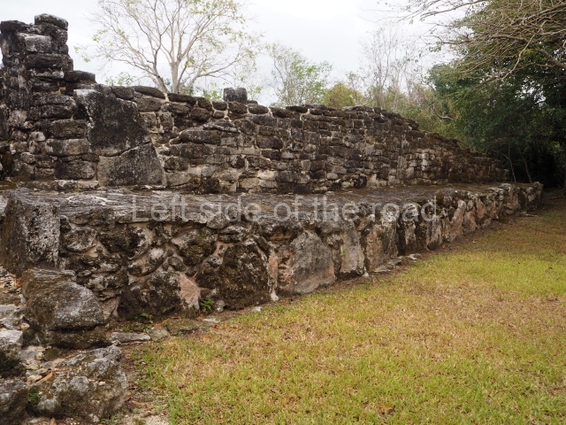
The site covers an area of 3 sq km and is divided into four architectural groups connected by pre-Hispanic causeways or sacbeob.

Manitas (‘little hands’) group.

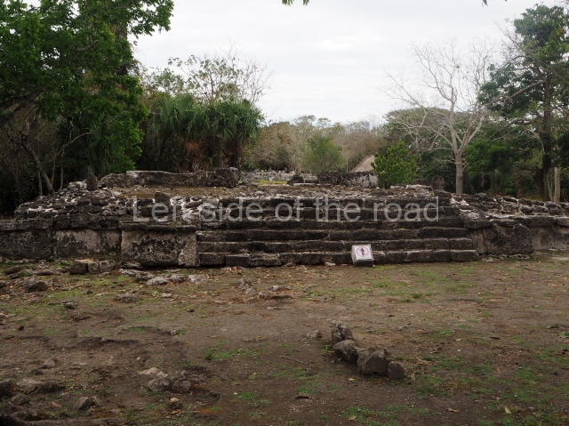
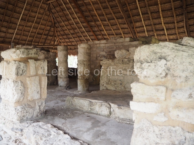
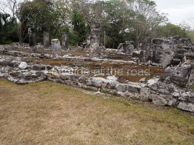
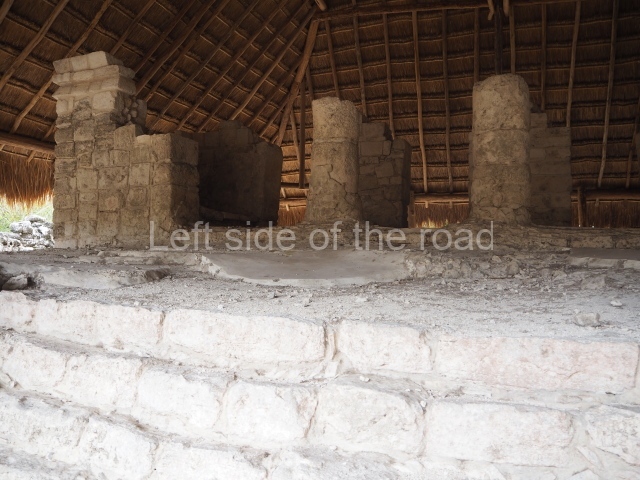
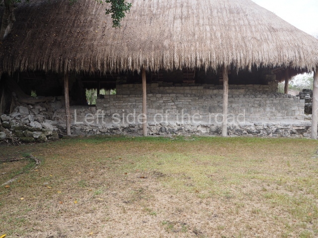
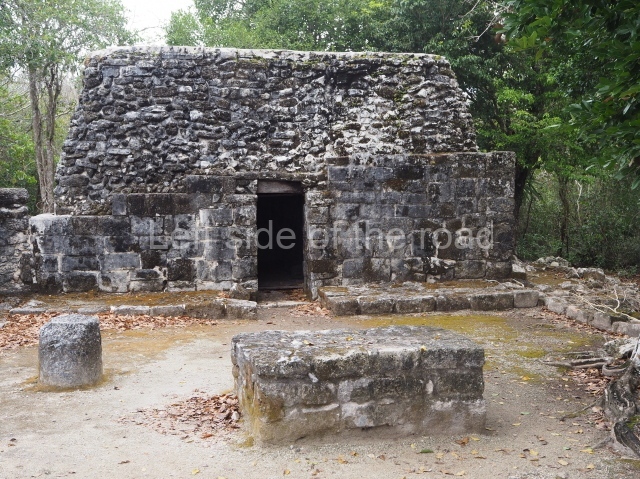
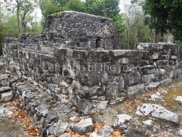
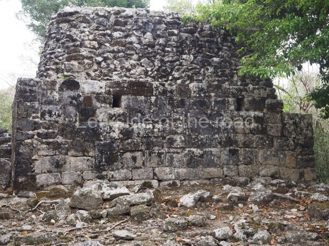
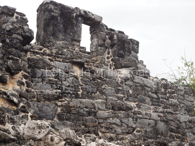
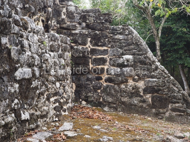
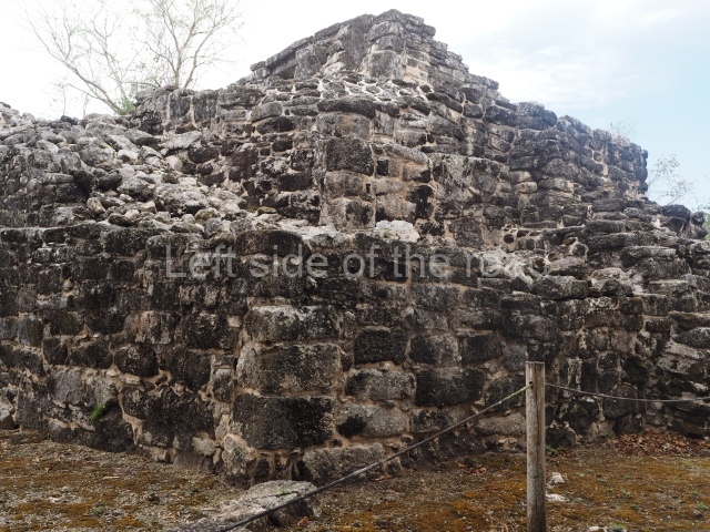
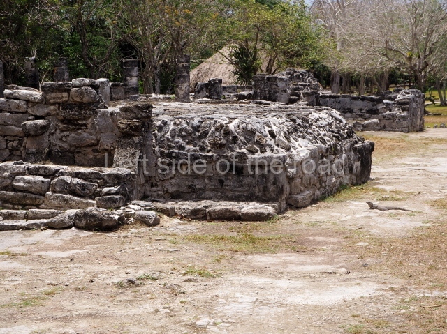
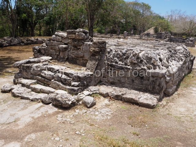
The main building is called Manitas because of the hand imprints on the facade. Designed in the East Coast style, it corresponds to the Postclassic and clearly served a residential function, with two bays and a portico. At the east end of the group is a small ritual temple called Chichan Nah (‘little house’). To the west stands another building, this time with a square, talud-tablero (‘slope-and-panel’) building known as La Tumba, having once contained an elaborate tomb.

Central plaza group.

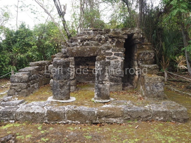
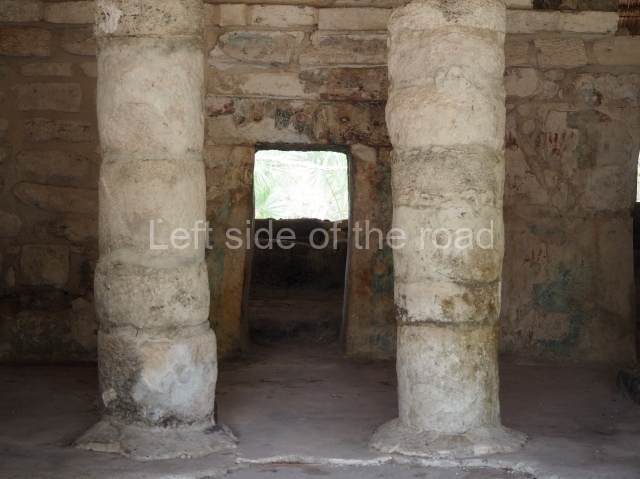
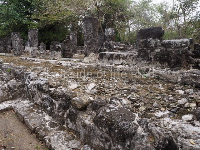
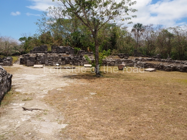
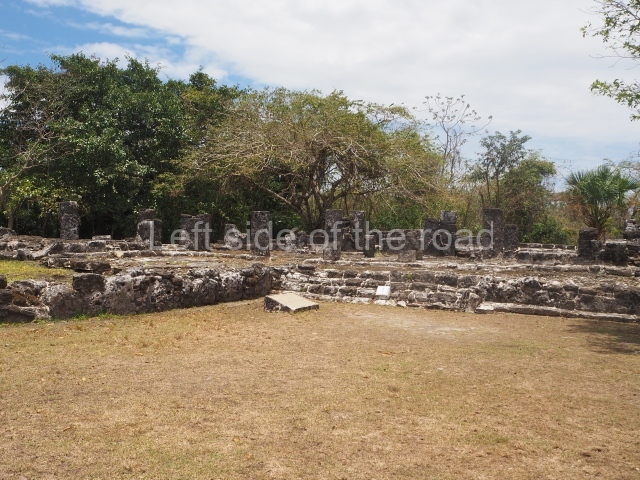
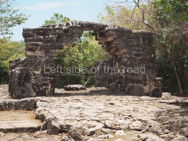
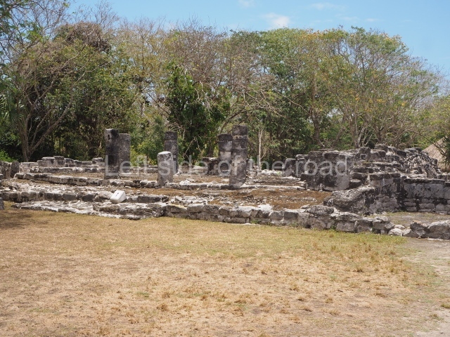
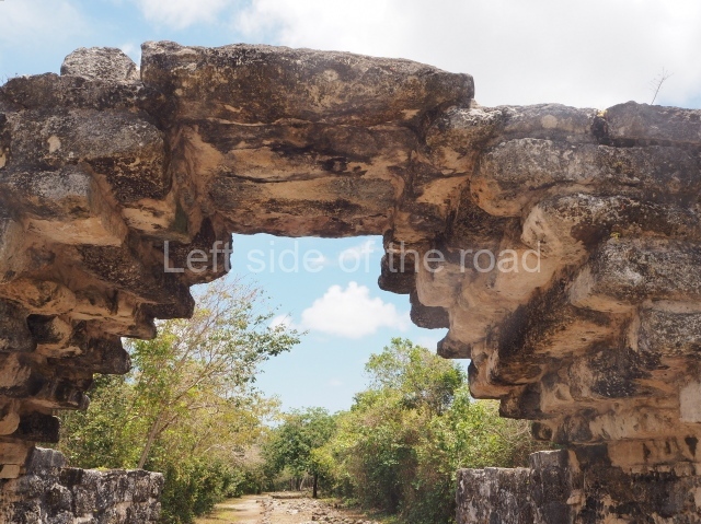
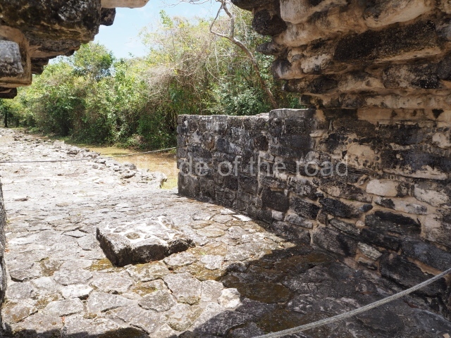
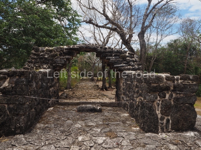
This is situated west of the Manitas Group and comprises ten civic and religious buildings that constituted the core area of the site until it was abandoned. Included among them are the constructions known as the Alamo (‘Poplar’), the Murals, the Palace, the Ossuary and the Pilasters. Three sacbeob commence at this group: one is 75 m long and leads to the Manitas Group; another leads to Punta Molas, 18 km from San Gervasio; the third one leads to the Potrero Group, 117 m away. Situated north-west of this group is a free-standing arch or gateway that defines the main entrance to the site. It was built at the beginning of Sacbe 1, which leads to the site of Punta Molas at the north end of the island. The same causeway also leads to the building known as Nohoch Nah (‘big house’), a temple with traces of mural paint that stands on a platform with stairways.

Bat group.

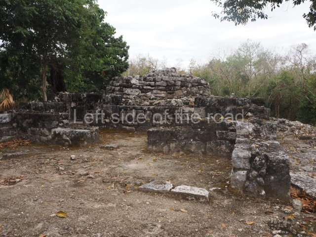
An irregular platform supports five buildings, the best preserved of which corresponds to the Late Classic (AD 600-1000). Its architectural characteristics are reminiscent of the Puuc style in the south-southwest region of Yucatan.

El ramonal group.

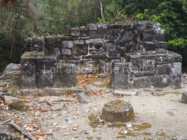
To date, this is believed to be the oldest architectural group at the site. It comprises a platform that once supported several civic buildings and a plaza. The latter is delimited to the south by a second plaza, built at a lower level, which is occupied by elite residences.

Ka’na nah (‘upper house’).

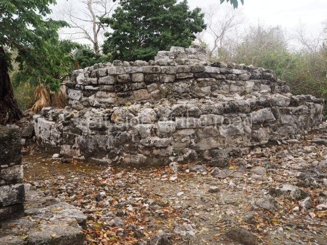
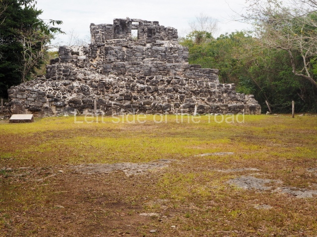
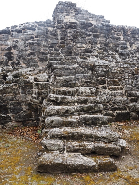
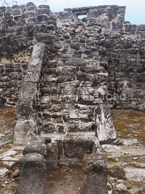
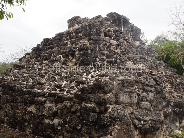
This is situated at the north-west end of the site and is thus called because it adopts the form of a platform with several stepped tiers and a two-chamber temple at the top.

Monuments and ceramics

The ceramic material recovered to date confirms that San Gervasio was occupied continuously and maintained cultural ties throughout its existence with various settlements in the peninsula and other regions in the Maya area. The ceramics from the Early Classic (AD 300-600) reveal links with sites in the north and in the north-east and east of the peninsula. It also had sporadic connections with the Peten-Belize region, despite being at its formative stage during this period. In the Late Classic, it shared the ceramic uniformity that reigned at the time in the north-east of the Yucatan Peninsula, the origin of which was probably the political capital of Coba. The ties with the Peten-Belize region waned considerably. Between AD 1000 and 1200, the Late Classic ceramics were gradually replaced by those of the Chichen Itza region, demonstrating the degree of the cultural and trading influence of the latter site over the east coast of Yucatan during this period. In the Postclassic, there was a notable uniformity throughout eastern Yucatan, characterised by locally made ceramics. San Gervasio was involved in the transition that affected sites such as El Cuyo on the north-east coast of Yucatan and Chunyaxche (Muyil) on the centre-north coast of Quintana Roo. Some authors have suggested that this uniformity was the result of the political and commercial integration between the governors in the region and other more distant regions such as La Chontalpa, in the states of Tabasco and Campeche. The ceramics from this final period continued to be used at San Gervasio until the 16th century, coexisting alongside pottery brought from the Old World during and after the Spanish Conquest.

Importance and relations

Of the 35 pre-Hispanic settlements recorded on the island, San Gervasio is the largest in size and importance and is regarded as a strategic Maya site during the Postclassic period. In its day, it was an important trading and political centre not only on the island but possibly also in the cultural region known as the East Coast. At its peak, Cozumel maintained ties with the largest political centres of the day, such as Mayapan, and with all the sites on the east coast of the Yucatan Peninsula.

Jose Manuel Ochoa Rodriguez

From: ‘The Maya: an architectural and landscape guide’, produced jointly by the Junta de Andulacia and the Universidad Autonoma de Mexico, 2010, pp 440-442.

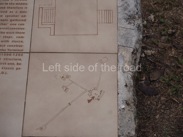
Map - San Gervasio

Map – San Gervasio

Getting there:

There’s no real public transport option so if you don’t have your own transport then it’s hiring a bike or a motor scooter (which needs a credit card as a deposit). I got my push bile from Best Bikes, to be found on 10th Avenue, No. 14, between Avenue Benito Juarez and Calle 2 North, cost M$250 for the day.

It’s then a straightforward route out of town east on Avenue Benito Juarez for about seven kilometres and then a left turn along the entrance road to the site for another seven or so kilometres.

Entrance:

M$216

More on the Maya