Muyil – Quintana Roo
Location
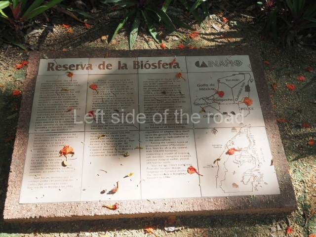
This is situated in one of the largest protected nature areas in Mexico: the Sian Ka’an (‘where the sky is born’) Biosphere Reserve, declared a World Heritage site in 1987. Some 20 or so pre-Hispanic settlements have been found in this vast area, mainly along the coast, including Capechen, San Miguel de Ruz, Chamax, Paso de la Viuda, Recodo San Juan, Xoken and Muyil, this site being the largest. Lakes Nopalitos, Muyil and Chunyaxche are all adjacent to the site. No one knows what it was called during the pre-Hispanic period; the name Muyil corresponds to the nearby lake of the same name and the first record of this toponym was found in early colonial documents. It is also known as Chunyaxche because this was the name used by the French ‘explorer’ Michel Peissel when he published his adventures on the Quintana Roo coast in the 1960s. The site lies 22 km south of the town of Tulum, on federal road 307 between Cancun and Chetumal.
Pre-Hispanic history
Like many of the coasts on the east coast, Muyil has a long occupational timeline. The earliest evidence dates from the Late Preclassic. From the Classic era, numerous architectural ruins from residential and civic-religious constructions have been found, consisting of masonry platforms on which wattle-and-daub walls and palm roofs were built. However, the largest quantity of residential (platforms, dry walls, etc.) and civic-ceremonial (temples, sanctuaries, altars, etc.) ruins correspond to the Postclassic. The earliest ruins found at Muyil date from the Late Preclassic, when it existed as a small, sparsely populated settlement. The only remains from this period are ceramic fragments. During the Classic period (AD 300-1000), it gradually grew and developed an economy based on the exploitation of the abundant natural resources nearby. Trade with other sites in the Maya area was frequent, given its situation on the shores of a freshwater lake with internal channels and lagoons connected to the sea. During this period the site was influenced by the Guatemalan region of Peten, which is reflected both in the ceramics and the architecture. This can be seen in the Castillo and in the majority of the constructions in the Entrance Plaza group. Muyil experienced its heyday in the Postclassic period, which was characterised by a considerable territorial expansion and population increase. Most of the constructions date from this period and are built in the typical East Coast style.
Site description
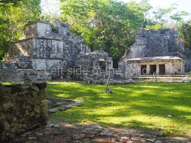
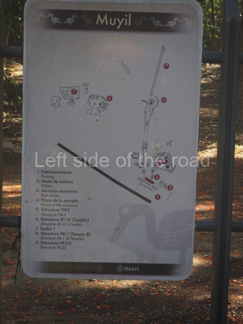
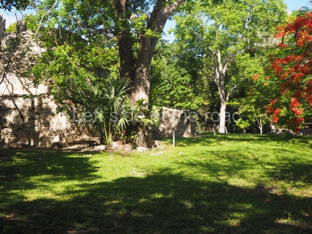
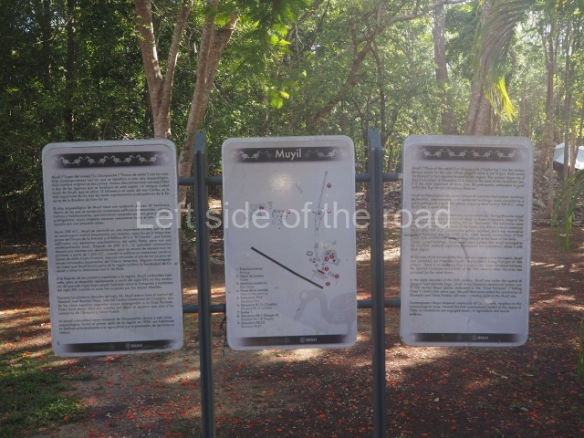
The settlement is divided into two sections: Muyil A and Muyil B or the Cenote. The former is the largest (38 has) and the only one open to the public. The groups of constructions are defined by monumental architecture, and Muyil A contains the Entrance Plaza Group, the Castillo Group and the Temple 8 Group. The temple known as Xlabpak or Lake Watchtower can also be considered part of Muyil A.
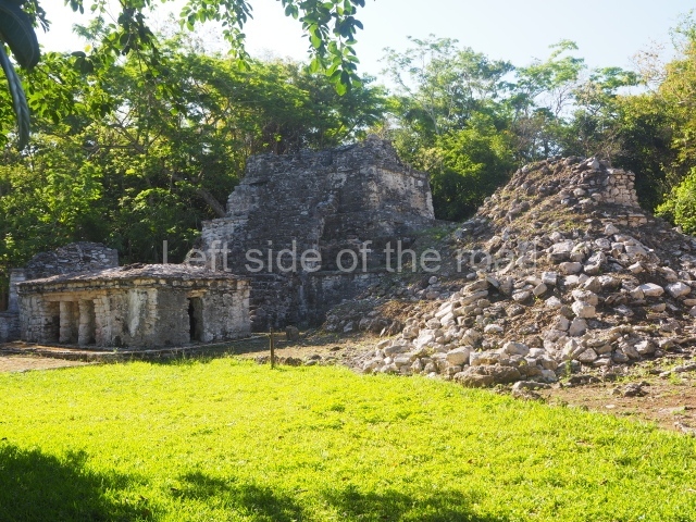
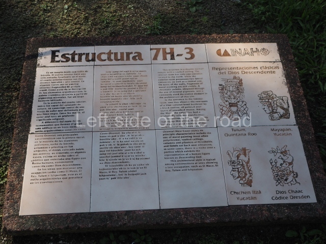
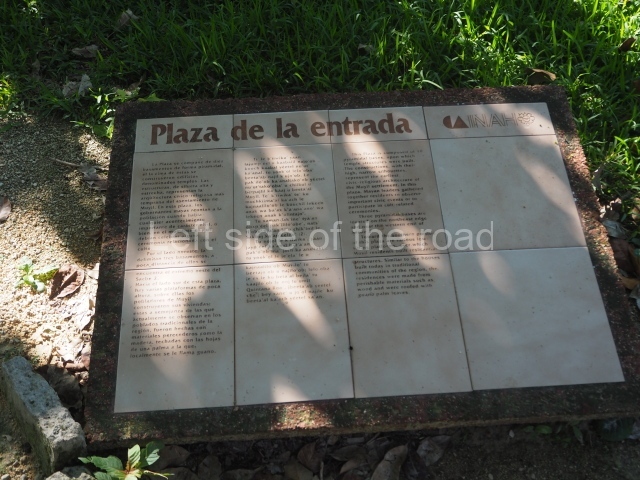
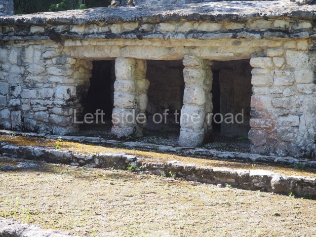
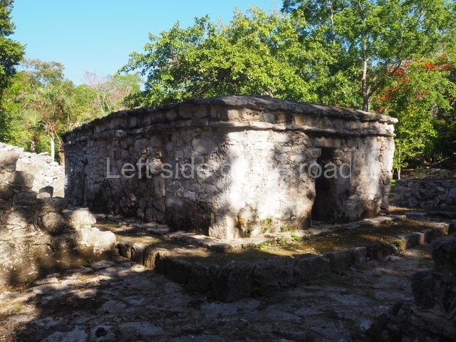
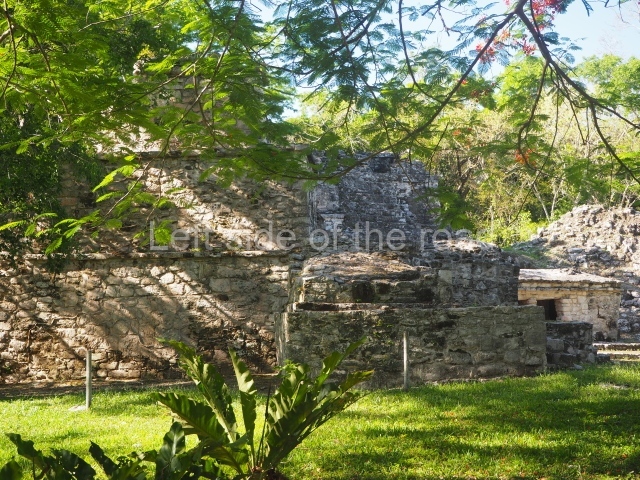
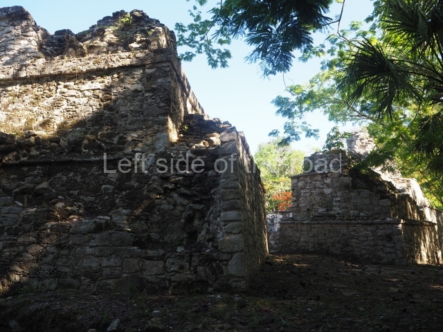
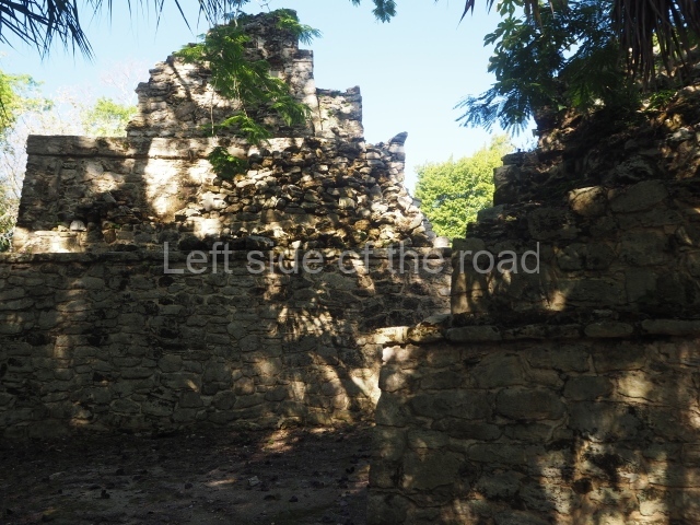
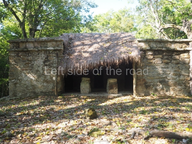
The first complex is the Entrance plaza group which dates from the Classic period and comprises 13 civic-ceremonial and residential constructions, none of which have been excavated. Belonging to this same group, albeit from a later period (Postclassic), is structure 6, which is abutted to the facade of one of the Classic constructions and consists of a temple sanctuary composed of a portico and columns and polychrome decoration.
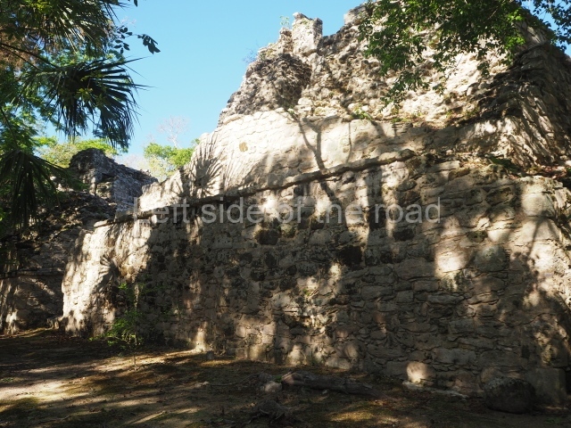
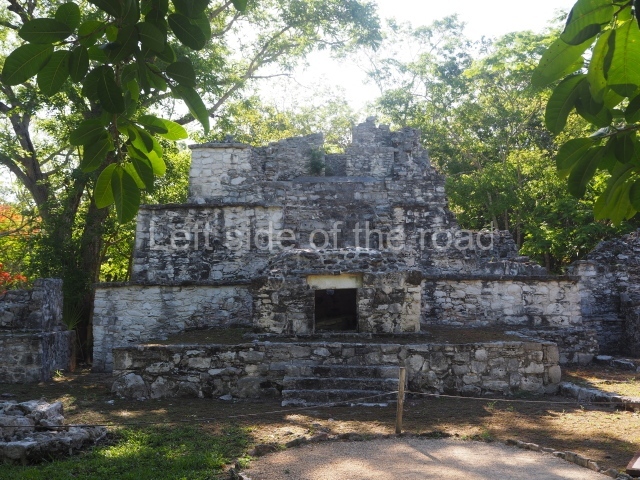
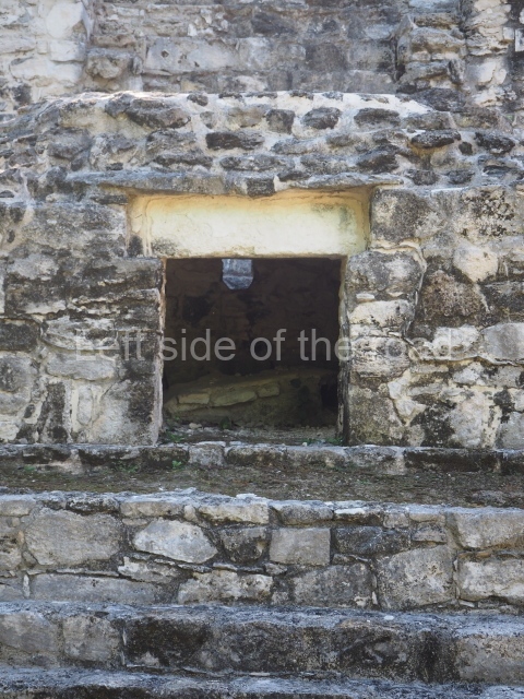
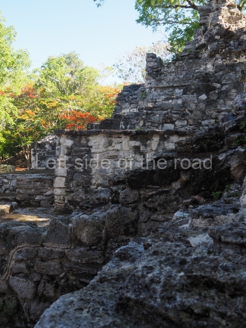
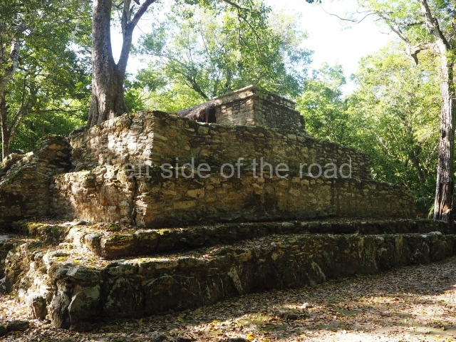
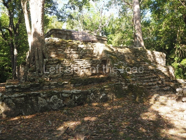
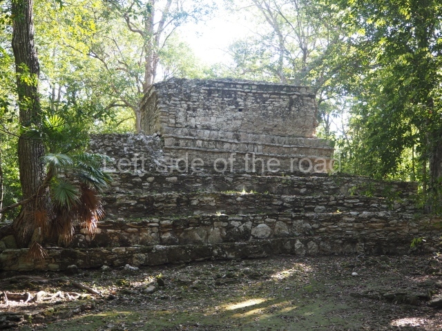
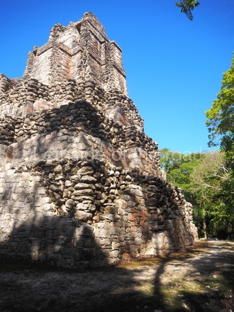
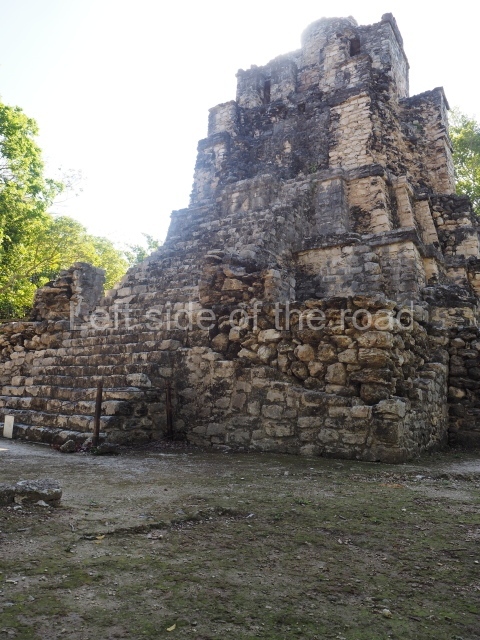
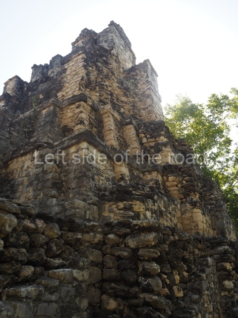
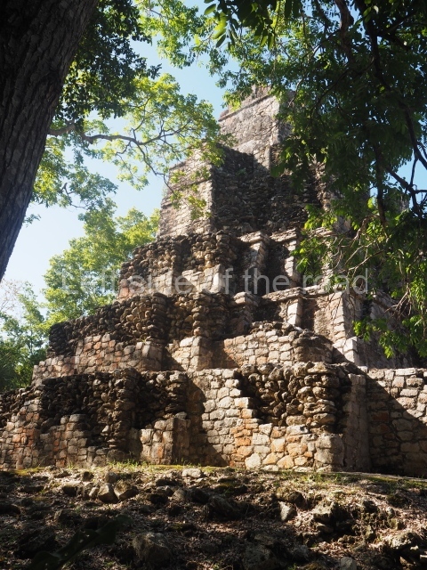
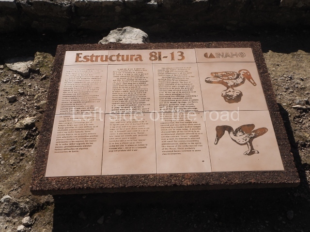
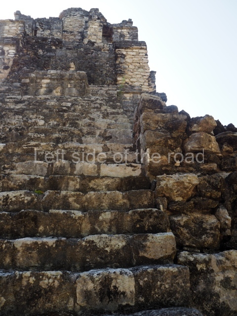
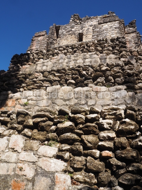
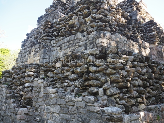
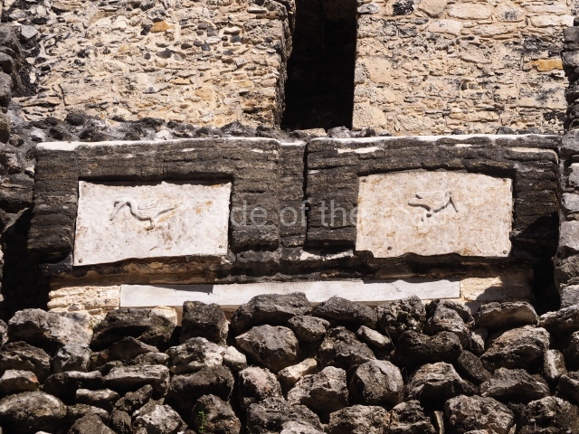
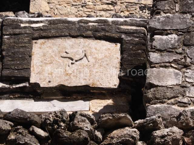
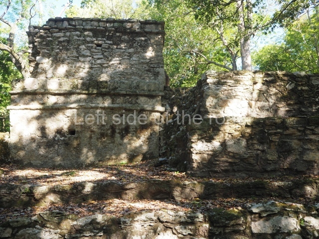
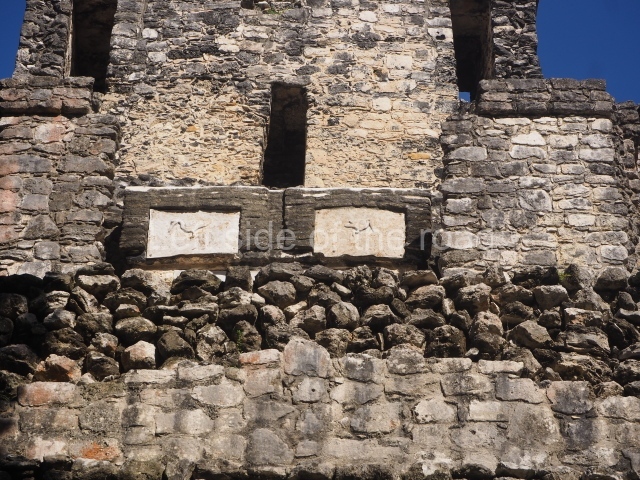
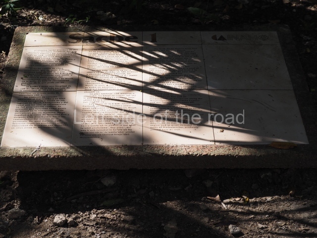
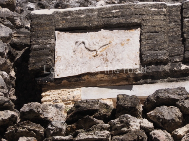
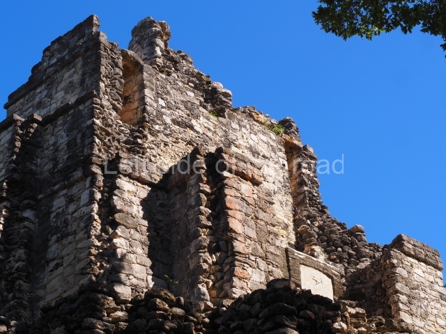
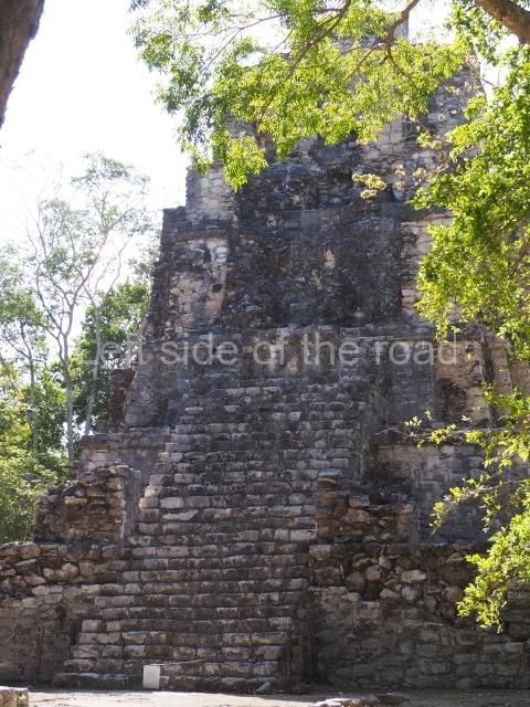
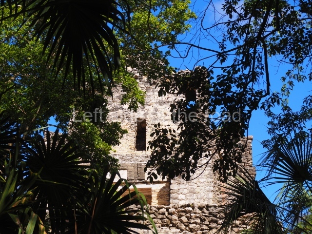
The Castillo is the highest building at Muyil (17 m.), comprising five tiers and a balustraded stairway. An offering of 300 jadeite, shell and conch objects was found at the top of the stairway. Two sub-structures uncovered beneath the final construction phase, the Temple of the Herons and the Temple of the Falcon, were exposed on the east side of the building. A causeway or sacbe, divided into three sections, linked the Castillo to the Entrance Group and the lake. Situated north-west of the Castillo is a group of ceremonial buildings delimited by a low wall with two entrances. Inside the walls stands Temple 8 on a fourtier platform with several construction phases commencing in the Early Postclassic and terminating in the Late Postclassic. A small sanctuary is situated in front of the stairway. The Lake Watchtower or Xlabpak is a free-standing temple built on rocky outcrop on the shores of Lake Chunyaxche and the only way to reach it is by boat.
Importance and relations
Muyil must have been a relatively important city during the Classic period judging from its monumental constructions, most notably the Castillo and the Entrance Plaza Group. During this period, Muyil maintained close ties with the Peten region in Guatemala. Subsequently, it established stronger ties with Coba, which probably used the strategically located Muyil as a point for trading goods with the Peten region. By the Postclassic, the hegemony of the cities in the Peten region and Coba had declined, obliging Muyil to modify its political and economic patterns. When Chichén Itzá fell, most of the coastal sites in Quintana Roo, including Muyil, experienced an unexpected boom. This is clearly manifested in the quantity of architectural ruins from this period. Around AD 1450, when the Cocom dynasty lost its control and Mayapan, its capital, the prevailing political structure in the Yucatan Peninsula fell apart, leading to a reorganisation of society and the emergence of independent provinces or chieftainships with their own governors.
Elia del Carmen Trejo Alvarado
From: ‘The Maya: an architectural and landscape guide’, produced jointly by the Junta de Andulacia and the Universidad Autonoma de Mexico, 2010, pp448-449.
Getting there:
From Tulum. A combi going to Muyil leaves from the stop at the corner of Av Tulum and Calle Acuraio Norte, on the hour from 07.00 – check price.
To get back flag down any combi heading into Tulum.
GPS:
20d 04′ 44″ N
87d 36′ 48″ W
Entrance:
M$70


