Bonampak
More on the Maya
Bonampak – Chiapas
Location
This site lies deep in the Lacandon Rainforest in Chiapas, in the valley of the River Lacanha. The preHispanic settlement adopts a scattered pattern and covers an area of 2 sq km. The main constructions were built on a chain of hills in the middle of the valley, stretching from the Sierra de Cojolita to the actual river banks. However, the only parts that have been explored and are now open to the public are the Great Plaza and the Acropolis, along the southern edge of the site, which comprise the famous building with the murals. Take road 186 along the southern border (Villahermosa-Macuspana-Tenosique), follow the turnoff for the town of Palenque and continue until you reach the San Javier-Lacanha-Bonampak crossroads. From San Cristobal de las Casas and Ocosingo, take the border road, follow the turn-off for Chancala and then continue to the San Javier-Lacanha-Bonampak crossroads.
The Murals
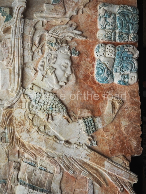
In the words of Mary Miller, who conducted a fascinating study on the wall paintings, ‘perhaps no single artefact from the ancient New World offers as complex a view of pre-Hispanic society as do the Bonampak paintings. No other work features so many Maya engaged in the life of the court and rendered in such great detail, making the Bonampak murals an unparalleled resource for understanding ancient society’. Herein lies the importance of Bonampak: its murals constitute a clear and accurate testimony of the life, aspirations and activities of a Maya ruler.
In 1990 the Institute of Aesthetic Research of the Autonomous University of Mexico (UNAM) launched the ongoing project Pre-Hispanic Mural Painting in Mexico to record and study pre-Columbian wall paintings such as those at Bonampak, and in 1997 Ernesto Penaloza photographed the three painted rooms in their entirety for the first time; this material was used to create three panels displaying the complete paintings. These images and the results of the multidisciplinary research led by Beatriz de la Fuente and coordinated by Leticia Staines are included in the two volumes on Bonampak (catalogue and research projects) in the series published by the UNAM.
Pre-Hispanic history
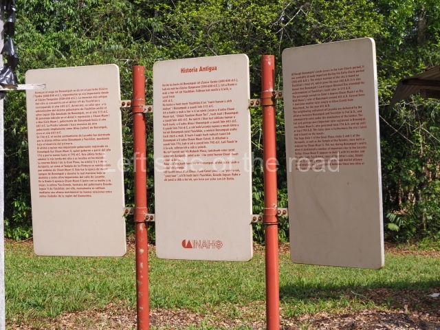
There is little evidence of building activity in the centre of Bonampak during the Early Classic. Due to its proximity to Yaxchilan, it was probably heavily influenced by this city from a very early date, as indeed was the case in the latter days of its occupation. There are epigraphic texts at Yaxchilan that mention Bonampak rulers: Bird Jaguar (not to be confused with the Yaxchilan ruler) is mentioned in association with the sixth ruler of Yaxchilan, and Fish Fin in association with the ninth. These ties remained strong throughout the Late Classic. Knot-Eye Jaguar, lord of Yaxchilan and the father of the Bonampak ruler Chaan Muan, who commissioned the construction of stelae 1, 2 and 3 and the famous murals, not only had close ties with Bonampak: his presence has been identified at the site of Lacanha, a few kilometres north of Bonampak. The monumental precinct is composed of a great acropolis built on a natural slope and delimiting a large central plaza. Stelae 1 and 4 are in the plaza, while stelae 2 and 3 are situated on the stairway leading to the top of the Acropolis. Three of the stelae mention Chaan Muan, the protagonist of the murals. The remainder of the settlement has not yet been mapped and we therefore do not know exactly how large it is.
Site description
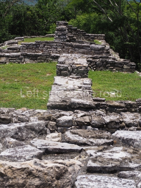
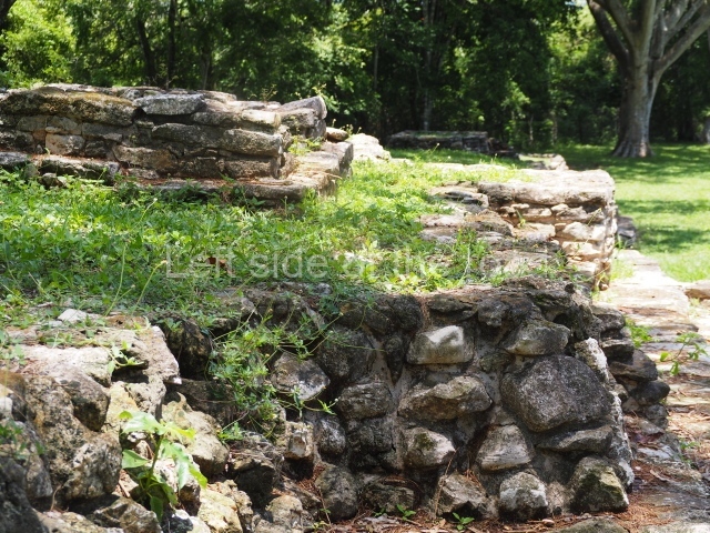
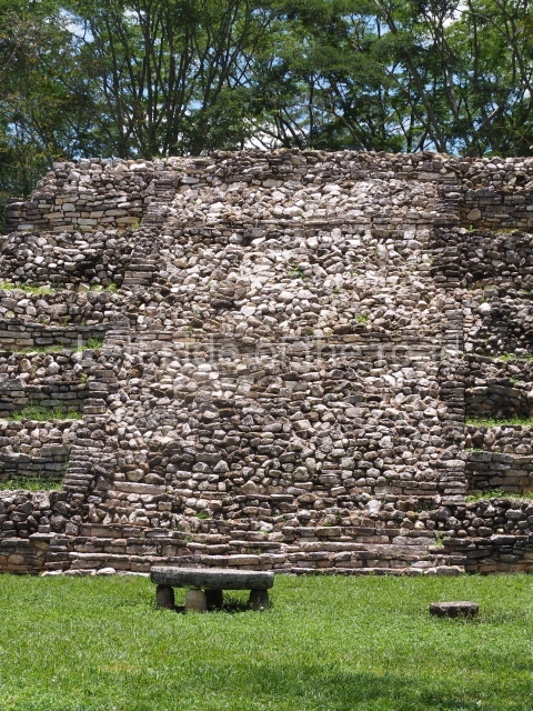
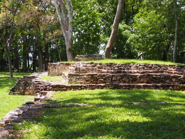
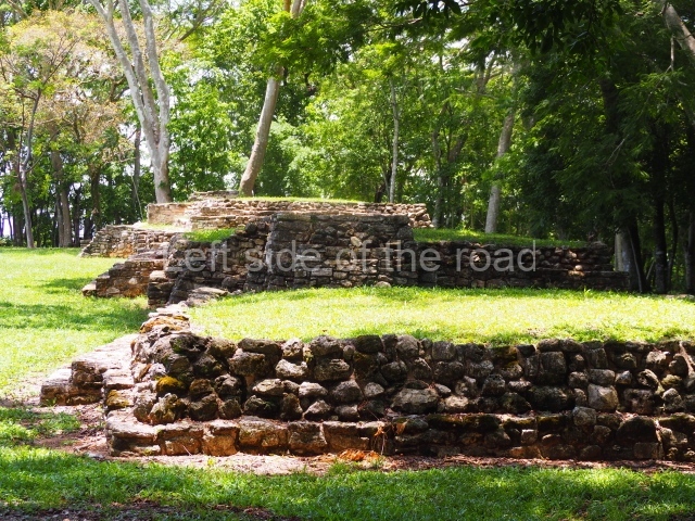
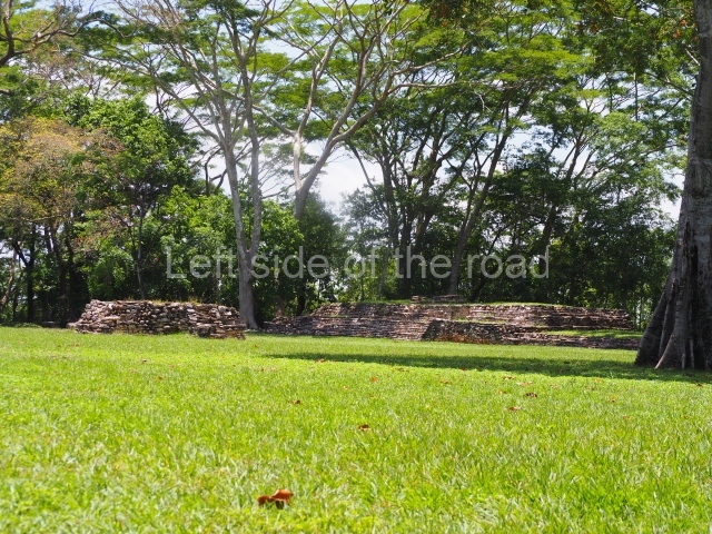
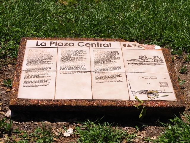
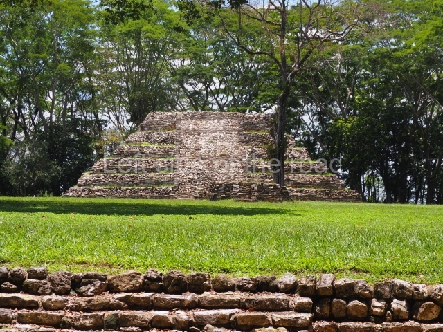
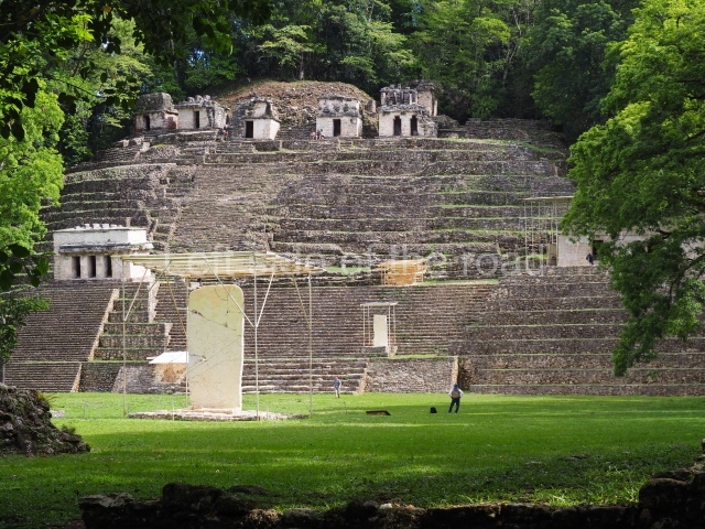
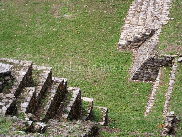
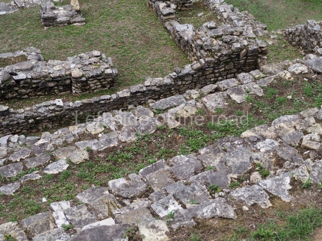
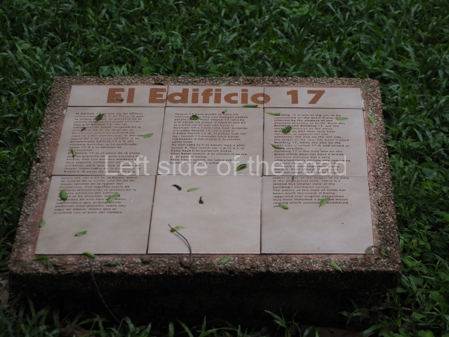
The only group open to the public is the Great Plaza, a rectangle space measuring 110×87 m whose main axis is oriented north-west/south-east. It is accessed via a passageway situated between structures 15 and 13. These form part of the platforms, yet to be explored, that delimit the east side (Structures 17 and 18), the north side (Structures 15 and 16) and the west side (Structures 12 and 13).
Acropolis and Stela l.
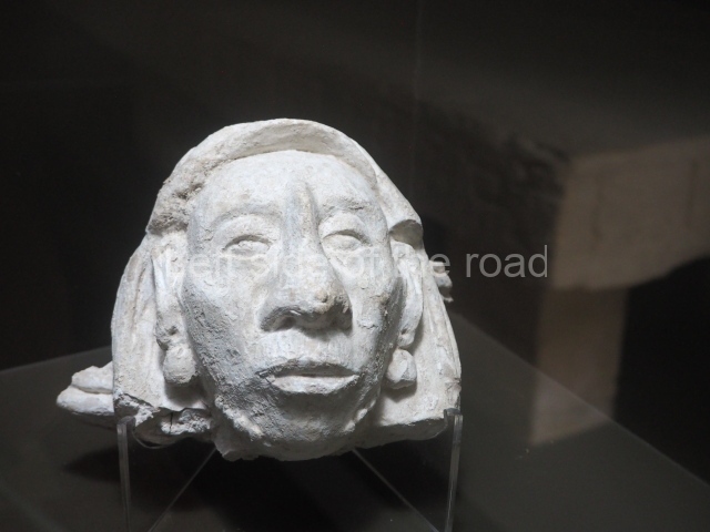
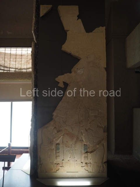
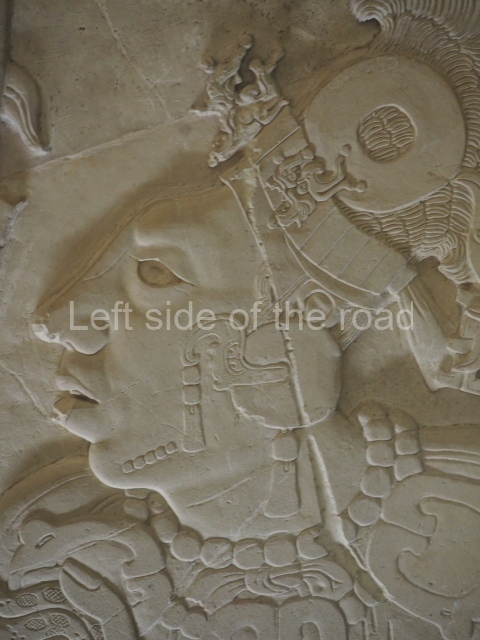
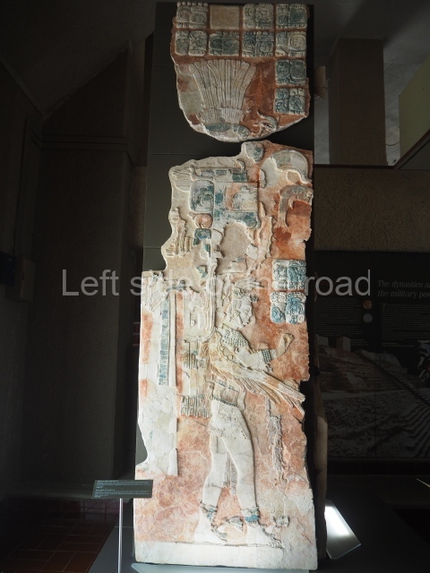
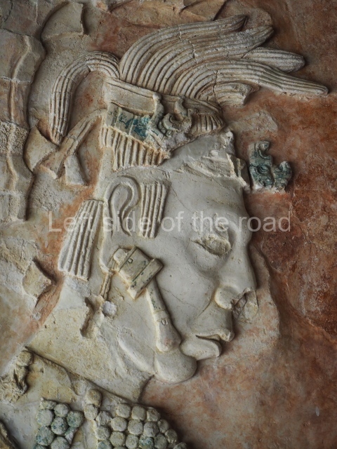
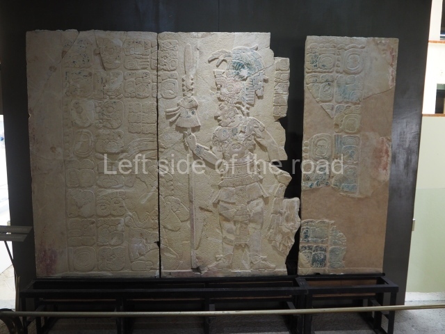
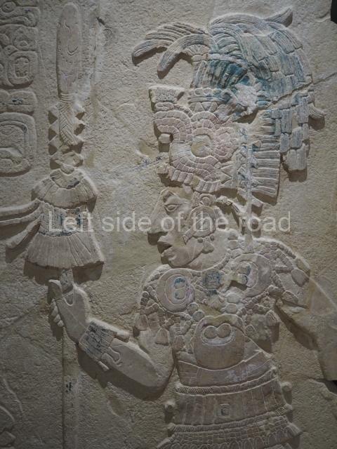
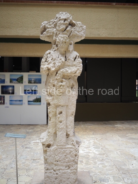
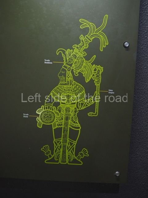
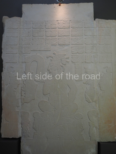
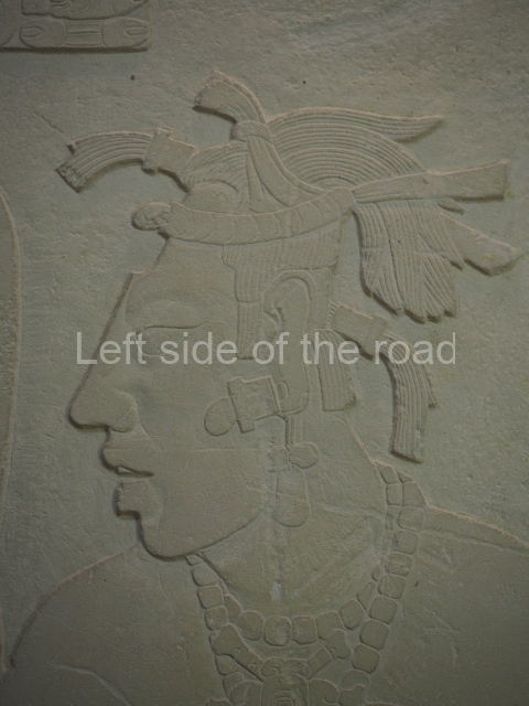
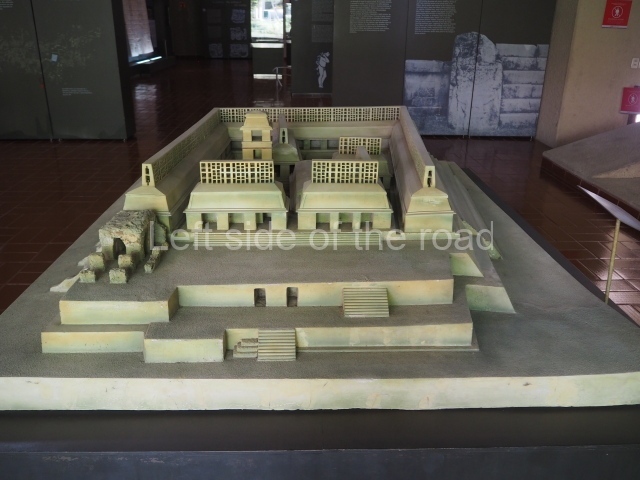
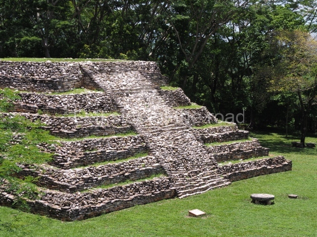
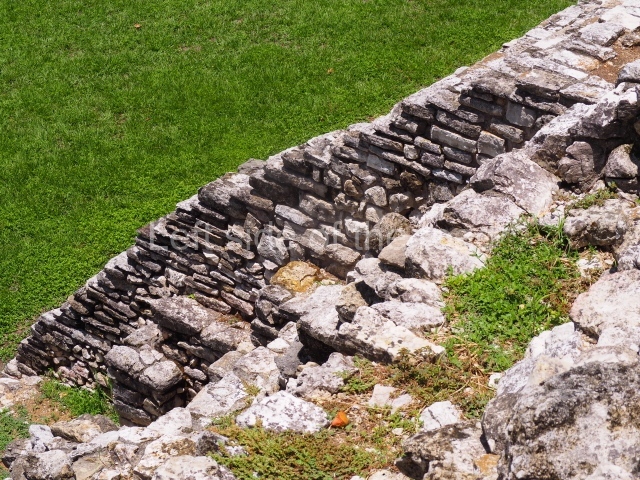
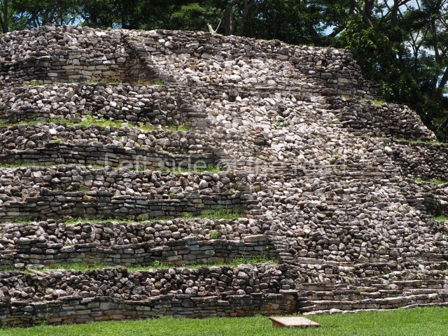
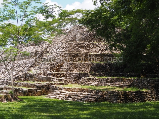
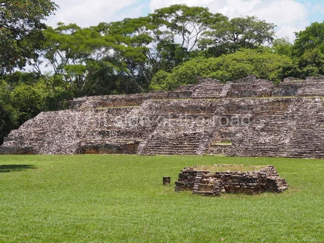
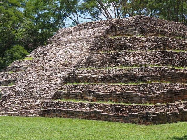
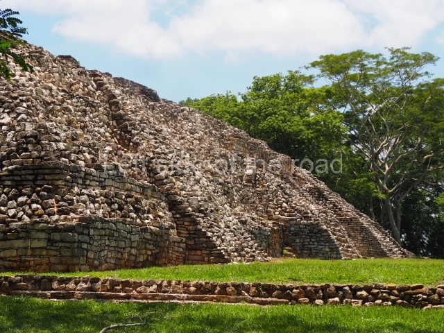
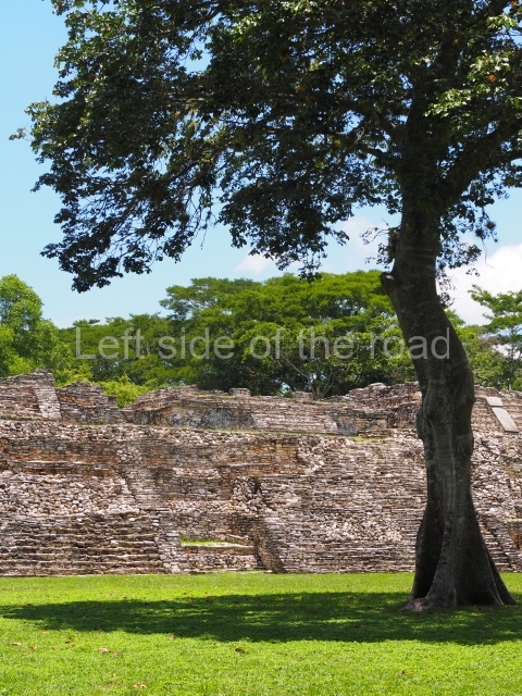
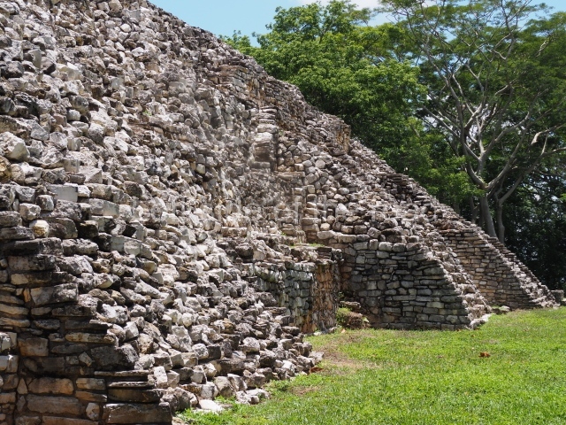
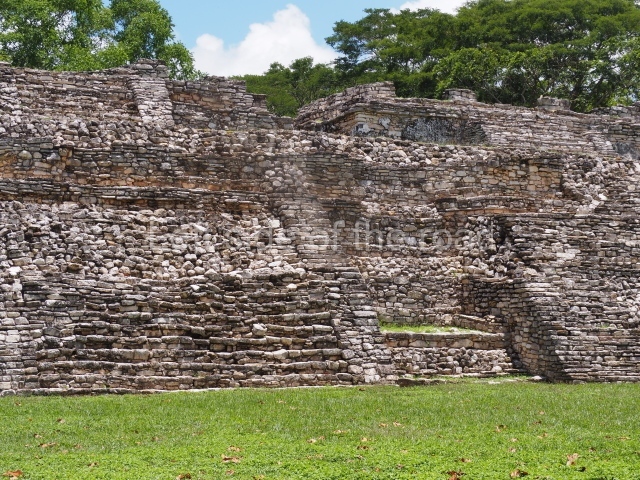
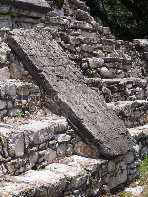
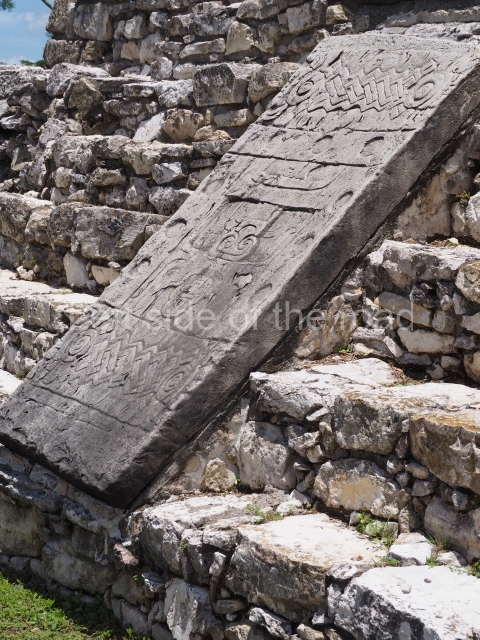
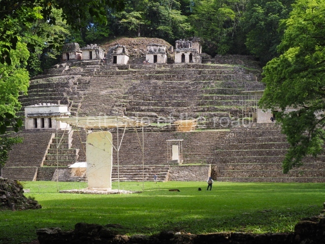
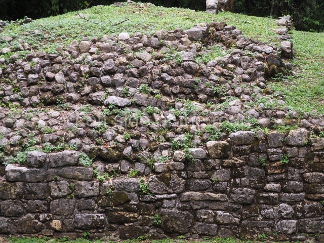
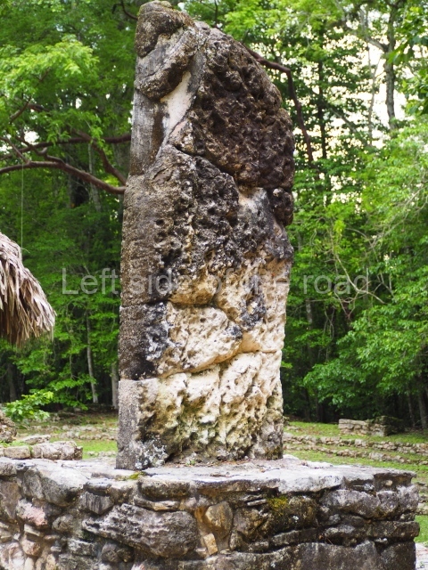
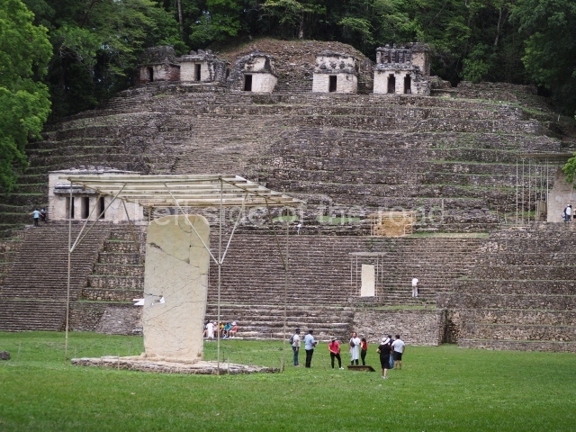
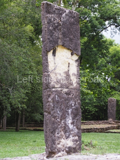
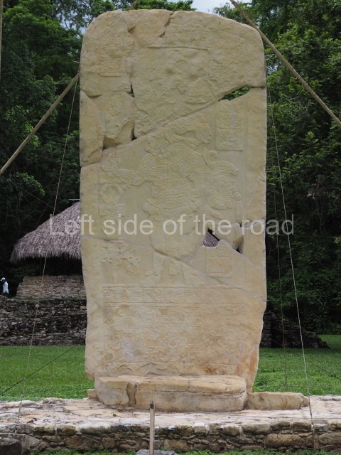
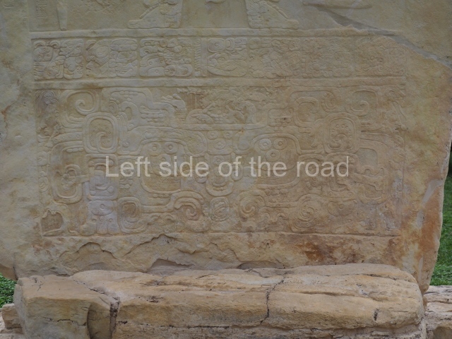
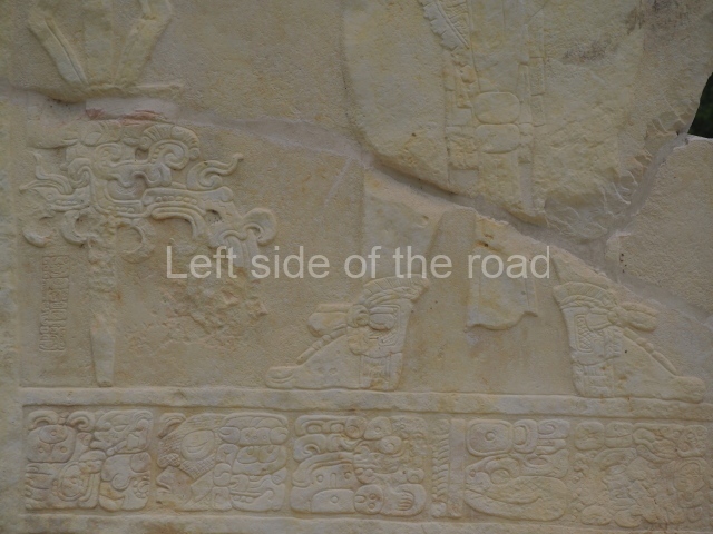
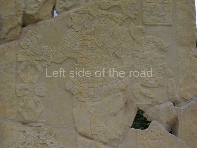
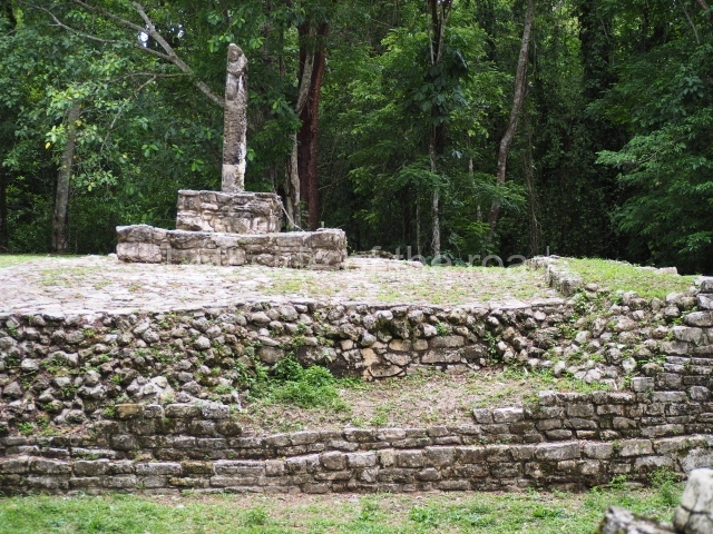
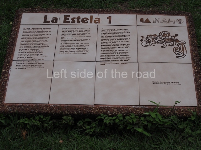
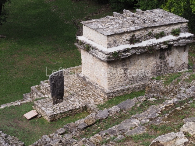
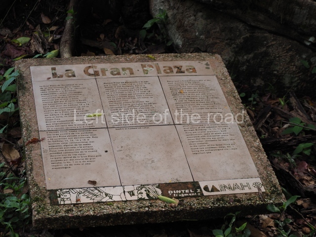
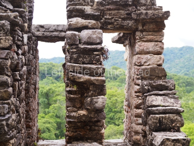
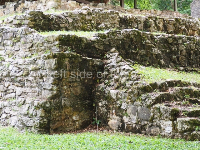
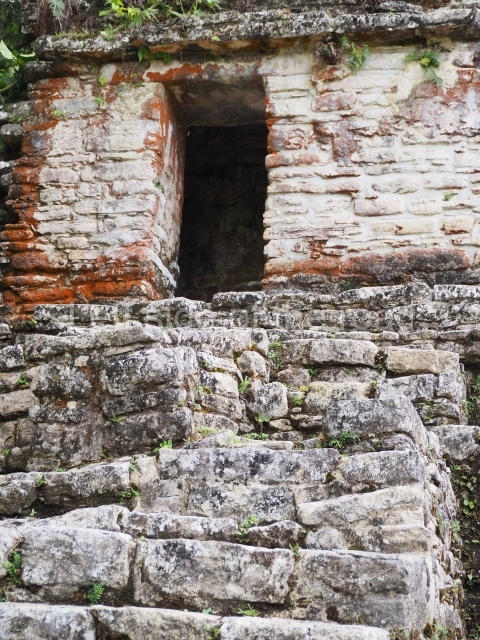
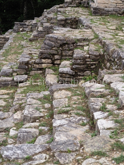
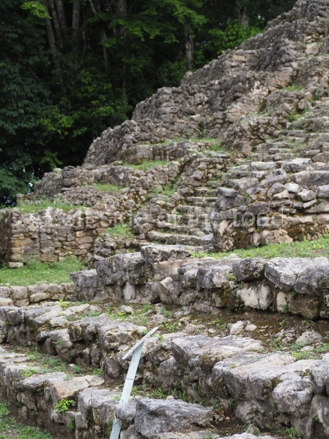
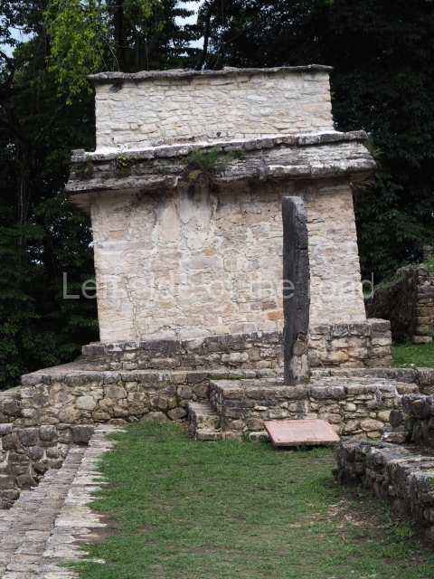
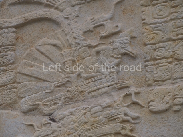
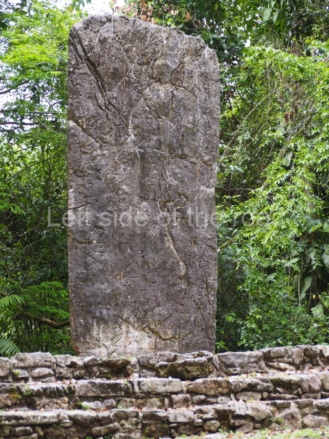
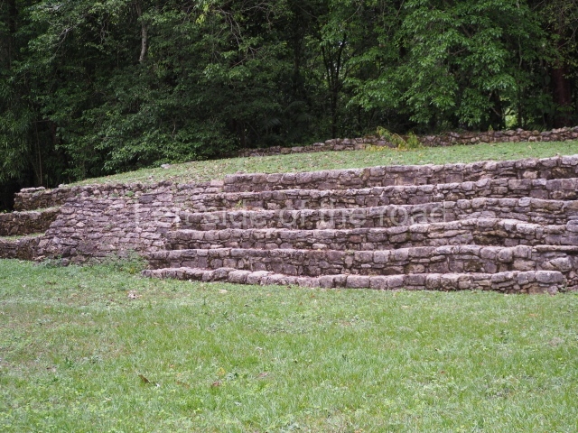
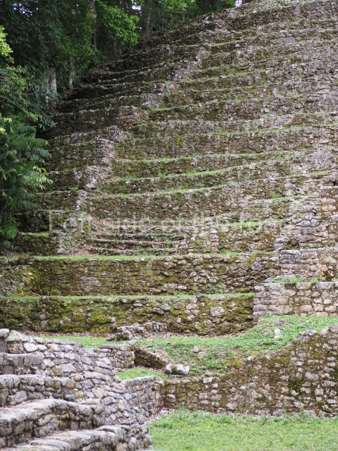
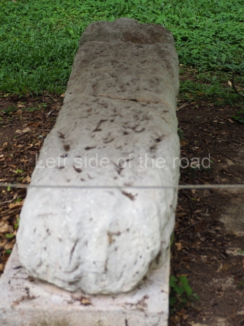
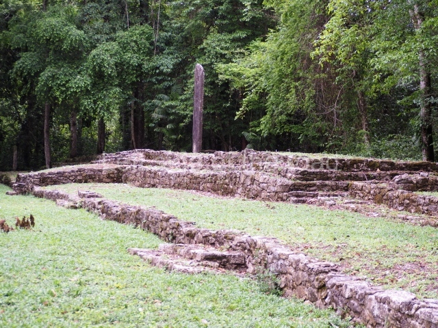
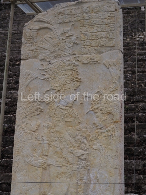
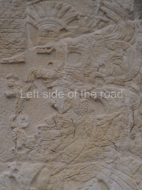
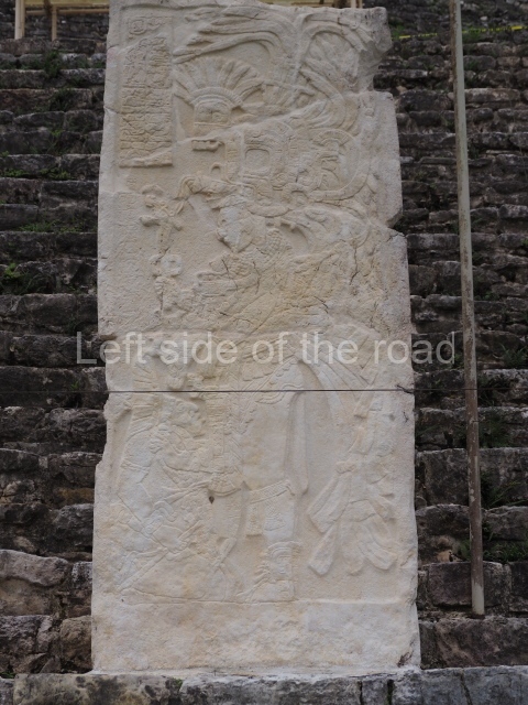
The Acropolis hill, which runs along the south side of the plaza, is covered by terraces and buildings. At the foot of it, almost at the centre of the plaza, stands the magnificent Stela 1, which is 5,06 m high, 2.6 m wide and 18-20 cm thick. Its carved face overlooks the Acropolis and depicts a richly garbed Chaan Muan II with a tall headdress. In his right hand, he holds the ceremonial sceptre; in his left, a shield with the face of the Jaguar god of the underworld. Under his feet is a band inscribed with the names of his parents and, next to his left leg, his own name.
Temple of the murals and Stelae 2 and 3.
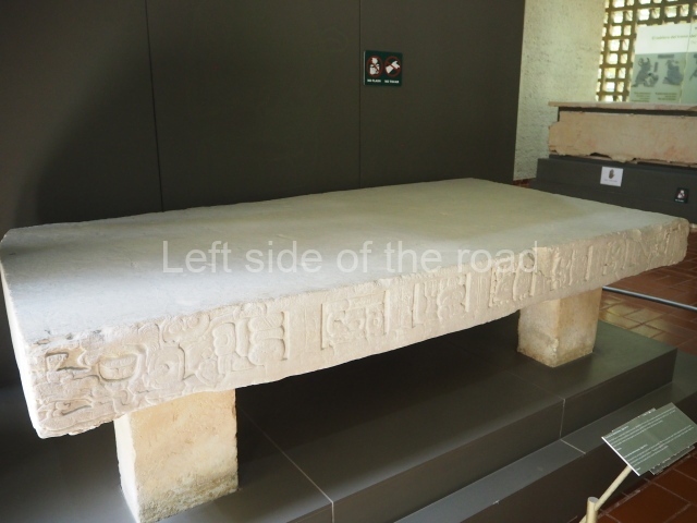
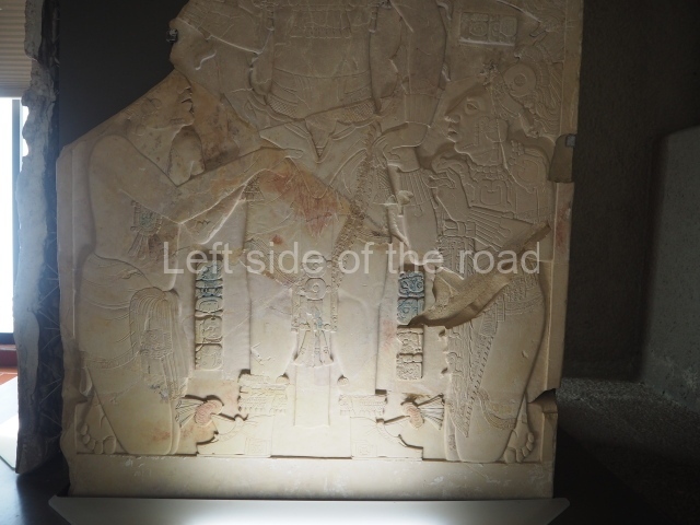
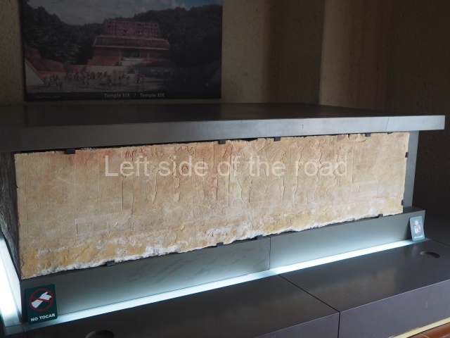
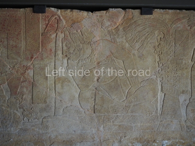
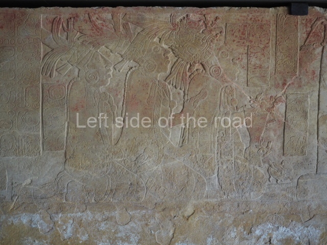
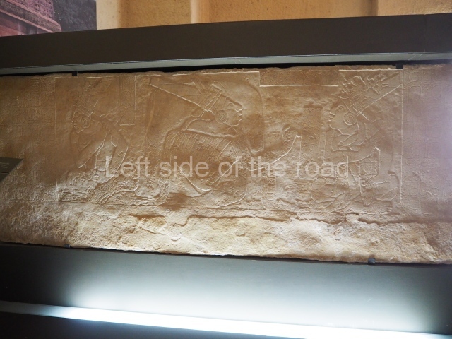
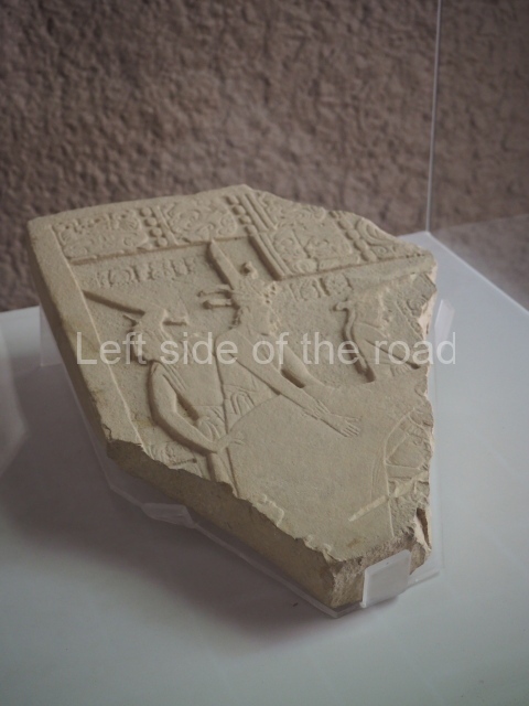
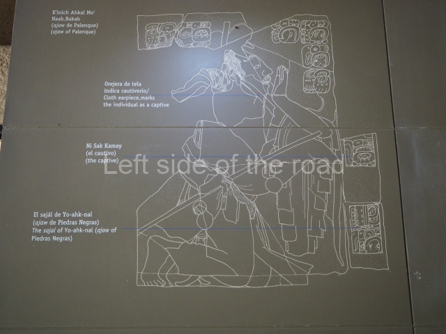
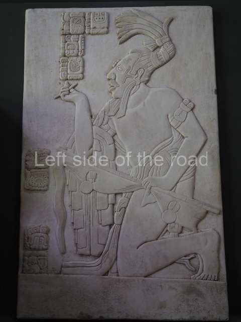
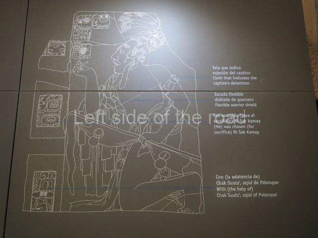
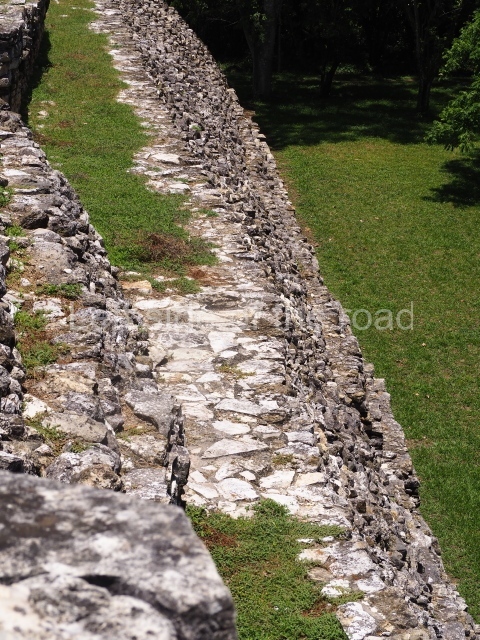
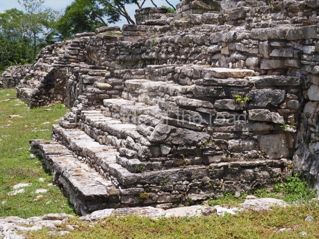
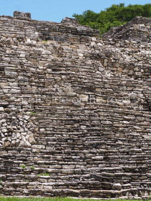
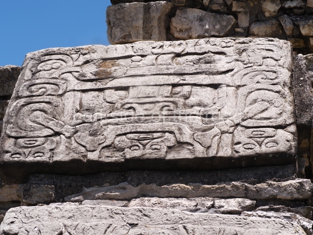
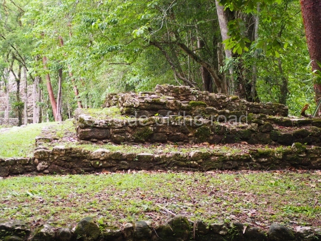
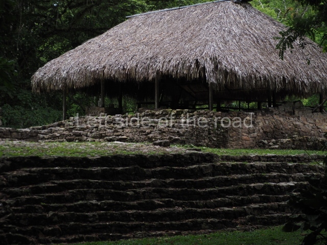
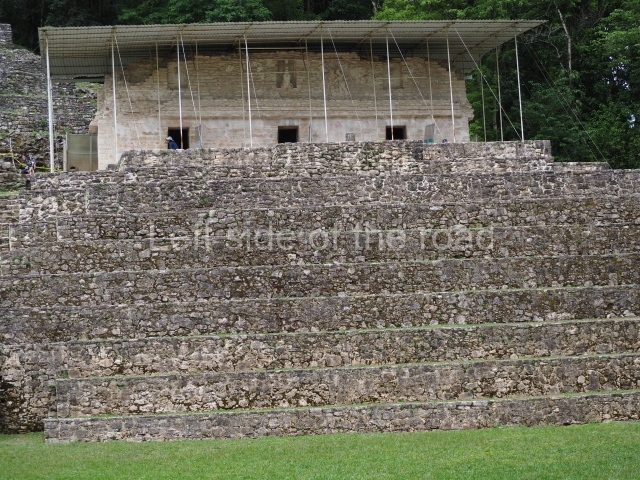
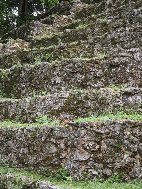
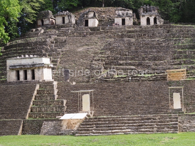
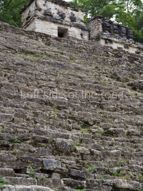
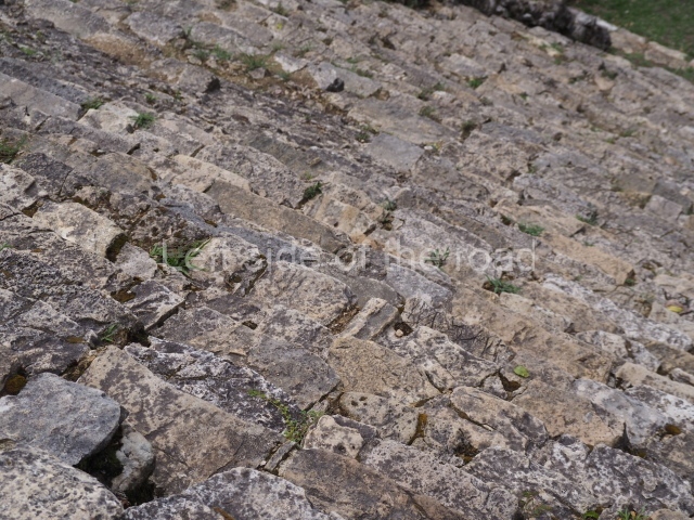
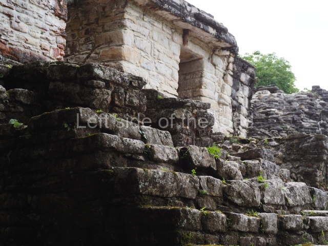
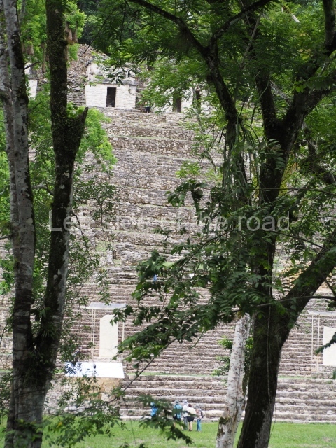
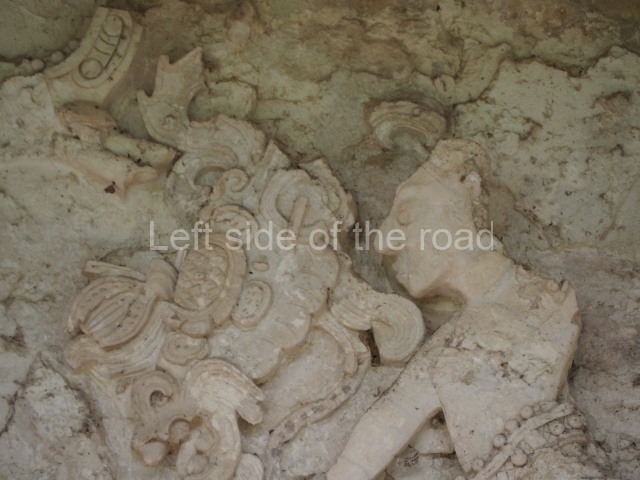
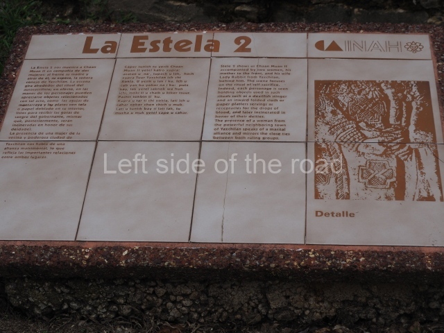
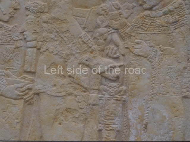
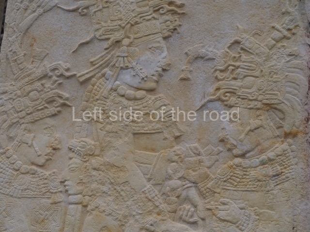
Situated at the foot of a natural hill modified by terraces, this group stands 46 m high. It displays two horizontal axes on different levels, which provide the basis for two groups of buildings. On the lower platform, situated approximately 15 m from the ground level of the plaza, are three buildings: the one on the right is the Temple of the Murals, in the middle are the ruins of Building 2, and on the left is Building 3. The main access to this level is via a monumental stairway, situated in the middle of the group. This comprises two flights with an intermediate landing on which stand Stela 2, to the left, and Stela 3, to the right. The former represents Chaan Muan II accompanied by his wife and his mother in a bloodletting sacrifice; the second stela shows the same dignitary with a prisoner. At the top of this first section of the stairway, on the right-hand side, is the Temple of the Murals, which has three doorways leading to three separate rooms decorated with the famous wall paintings; the doorways have carved lintels depicting the capture of enemy chiefs by two Bonampak rulers and a Yaxchilan ruler, respectively.
Buildings 2, 3, 4, 5, 6, 7, 8 and 9.
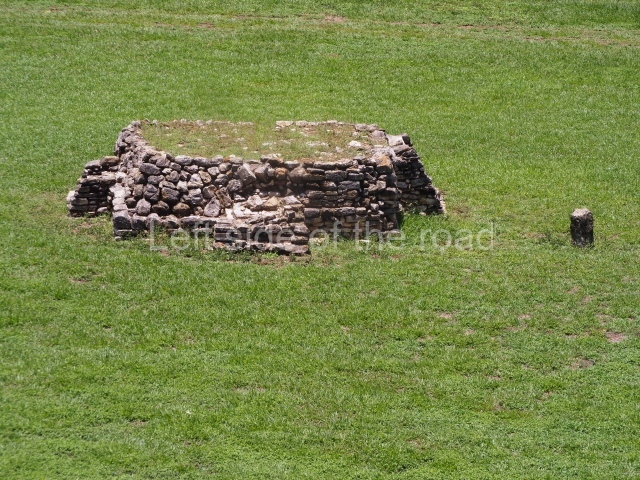
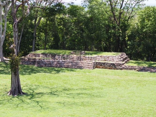
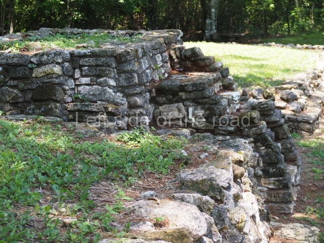
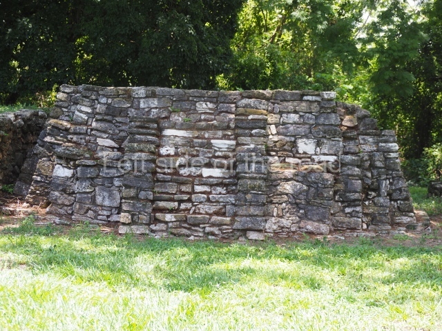
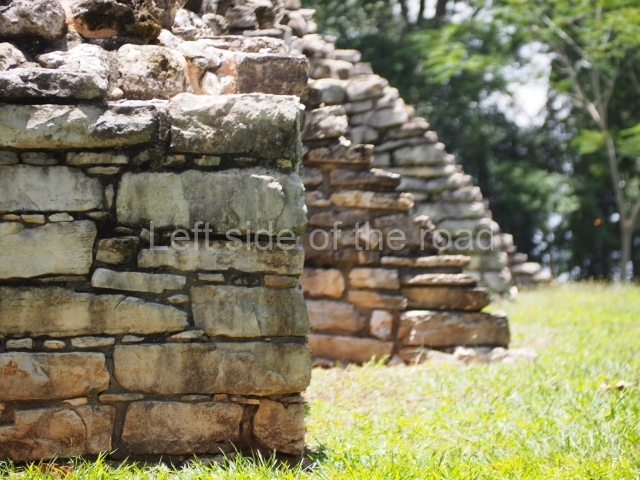
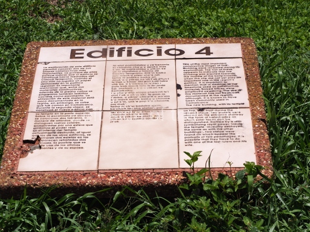
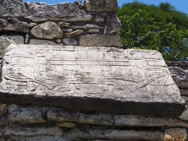
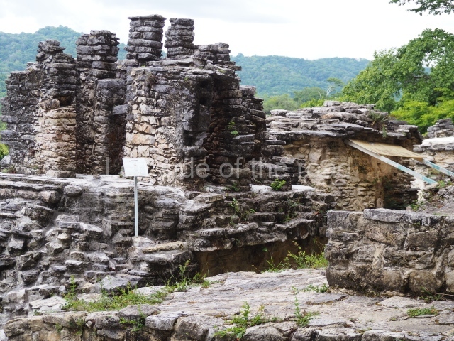
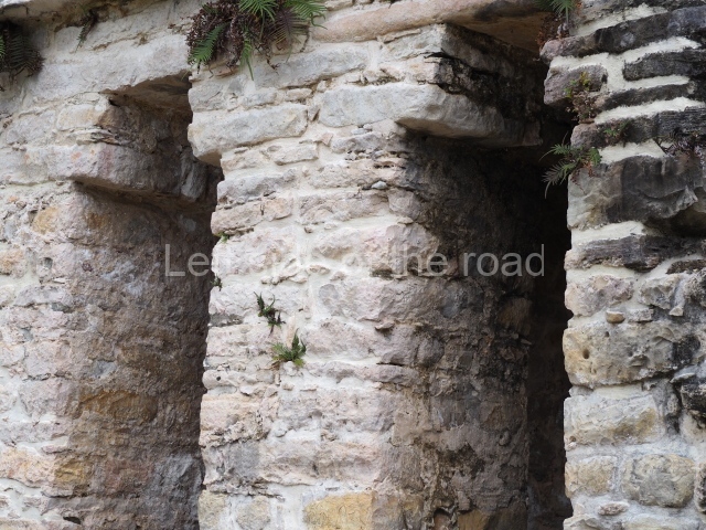
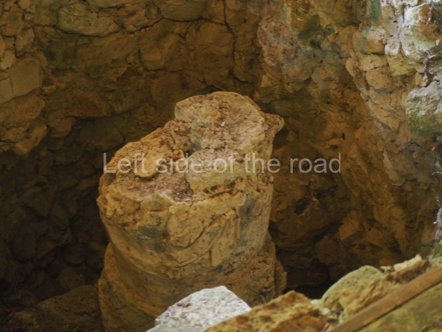
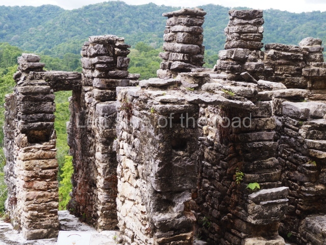
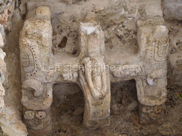
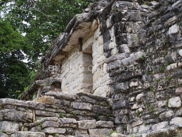
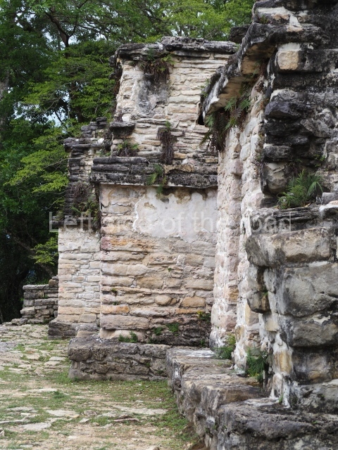
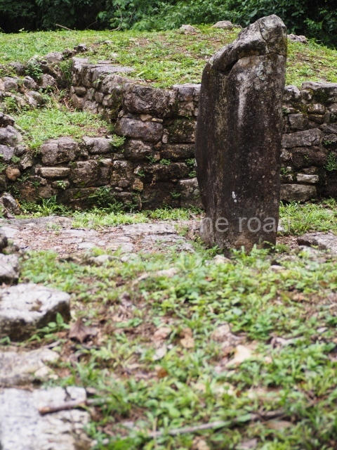
Situated at the far left of this first terrace is Building 3, which displays three doorways on its main facade and a stairway leading down to the plaza. Between this and the remains of Building 2 is the stairway leading up to the temples at the top, identified from left to right as Buildings 8, 7, 6, 5 and 4. All of them contain a single chamber and a single access; the exception is Building 4, which has two. All of them are very small and contain a cylindrical altar. Building 6 is the exception in this case and displays instead a carved lintel with the bust of Chaan Muan I, dated 603. Between buildings 5 and 6 is an interrupted stairway leading to the remains of Structure 19, which has a niche and a lintel. Situated next to this structure, behind Building 4, is a small plaza with Building 9 and its platform. The building facade faces west and contains a single doorway leading to a chamber in which there is an uncarved stela.
The murals
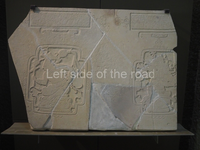
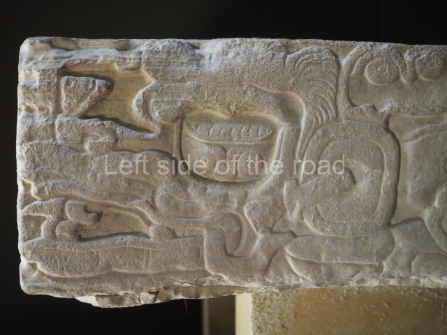
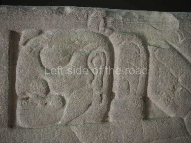
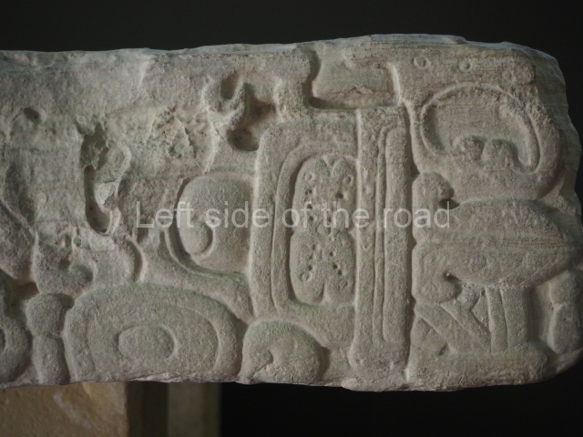
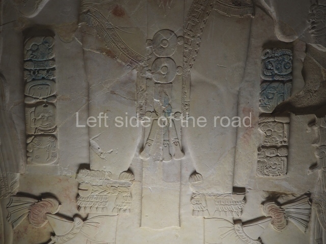
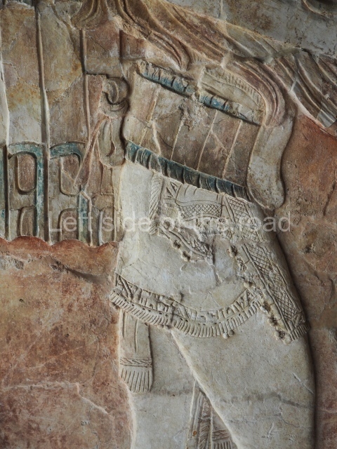
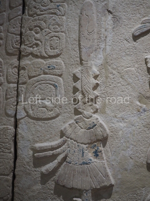
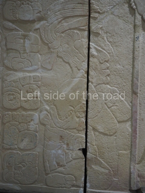
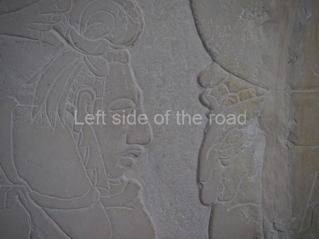
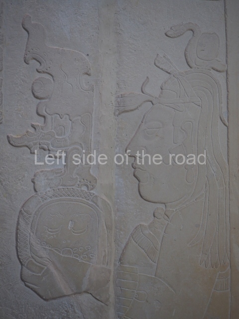
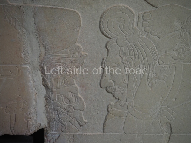
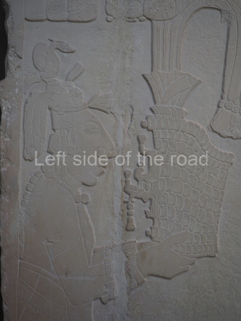
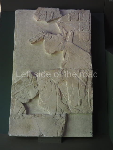
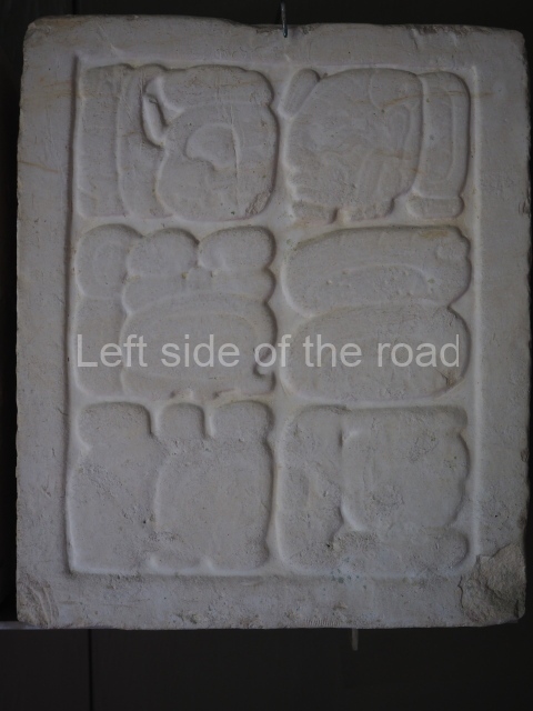
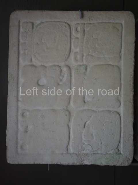
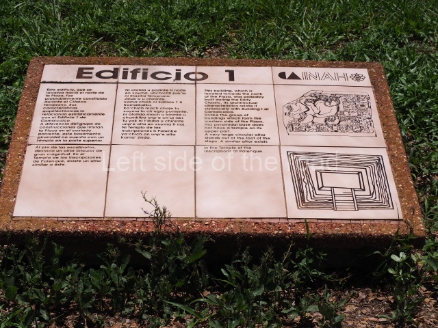
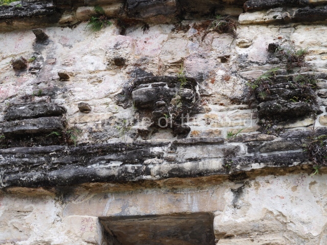
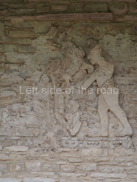
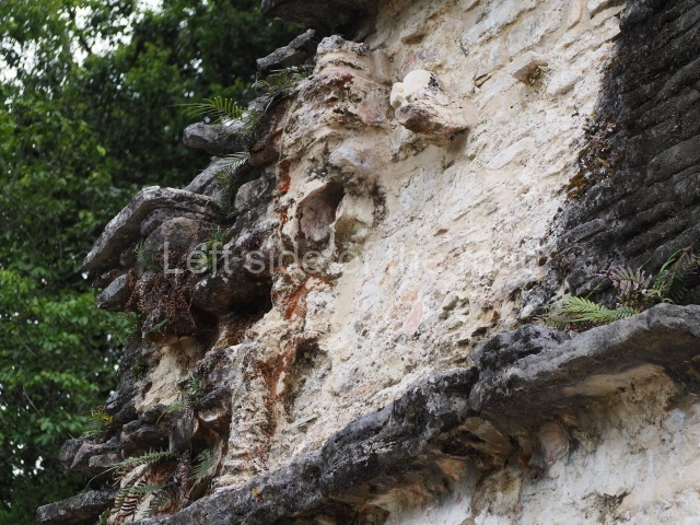
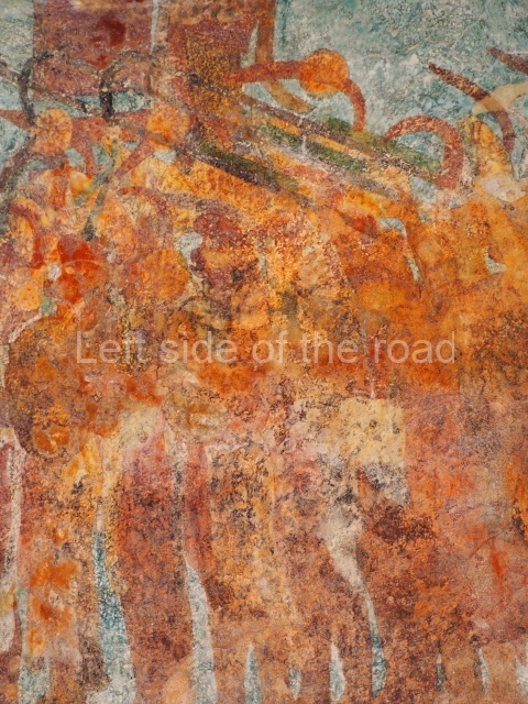
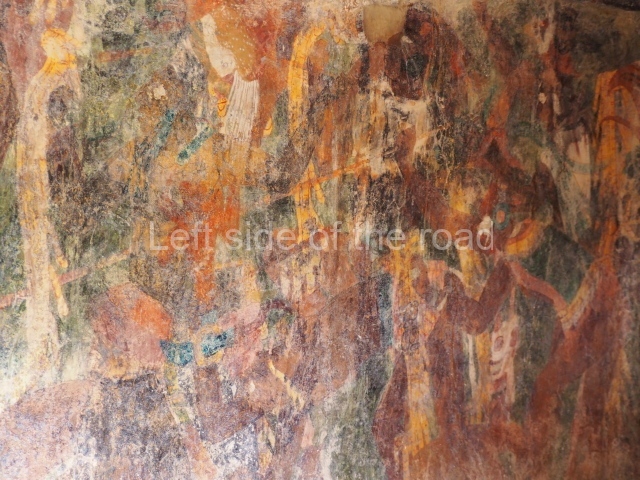
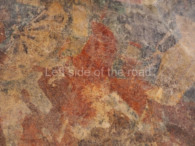
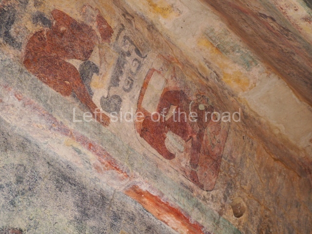
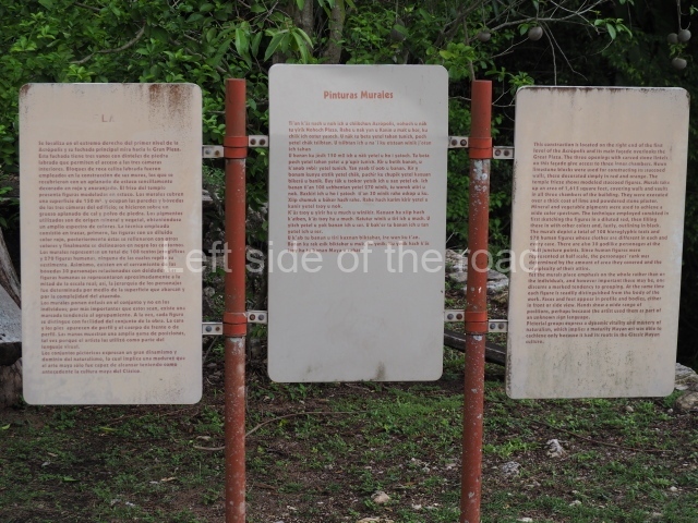
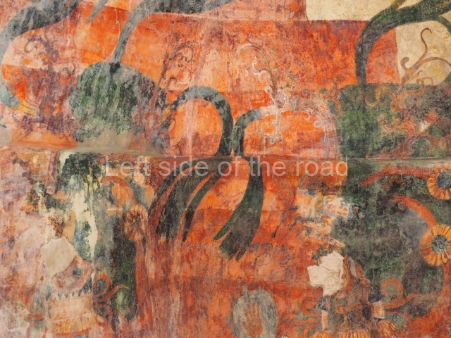
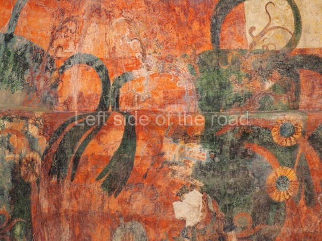
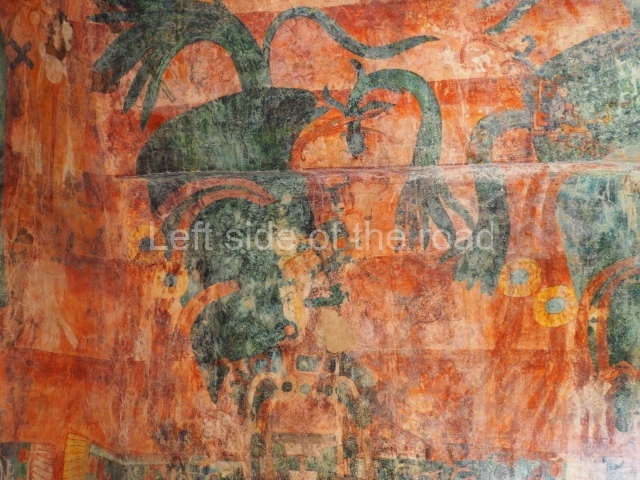
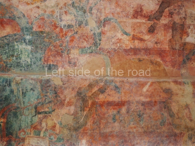
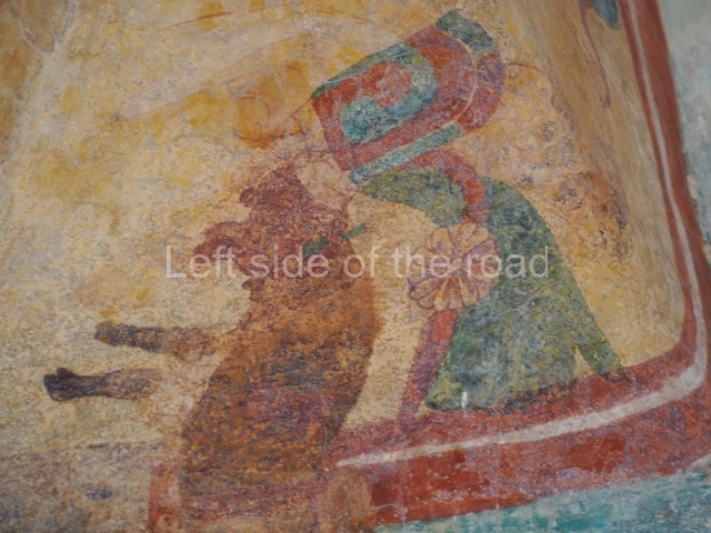
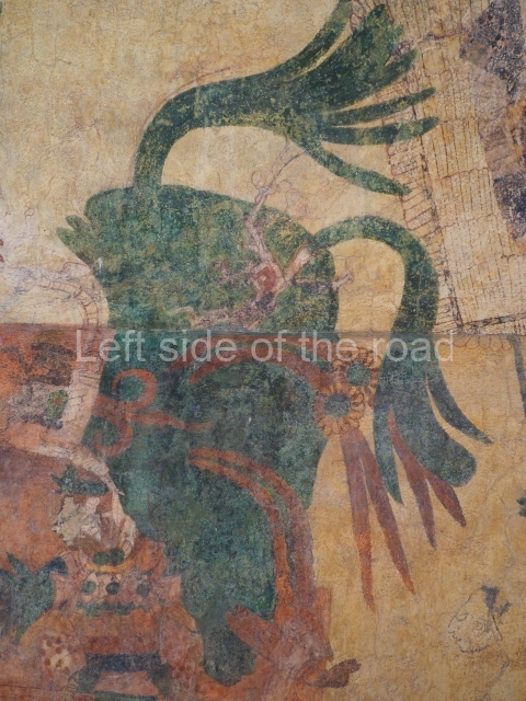
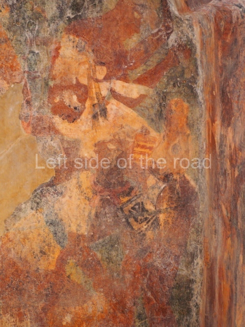
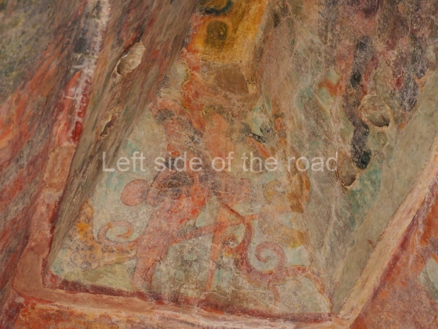
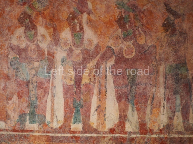
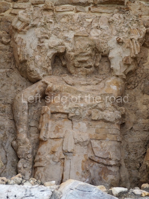
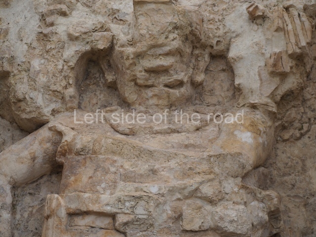
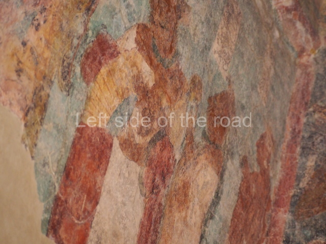
The murals are situated in Structure 1, a three-room building resting on the first terrace of the Acropolis. The exterior of the structure was once decorated with stucco relief figures but these have now been lost. The three lintels adorning the doorways to the rooms show scenes of prisoners and texts mentioning their respective names, in a style that bears great similarity to that of Yaxchilan. The earliest date corresponds to Lintel 3, which mentions Chaan Muan’s father, Knot-Eye Jaguar, the ruler of Yaxchilan in AD 740. Chaan Muan appears to have acceded to the throne in Bonampak in 776. Lintel 2 narrates an event later in Chaan Muan’s reign, around 787, making reference to a ruler of Yaxchilan, probably Shield Jaguar II. The date of Lintel 1 corresponds to an event four days earlier.
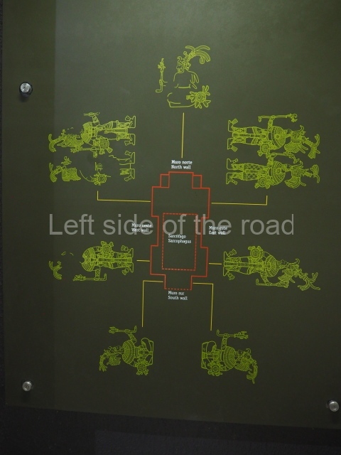
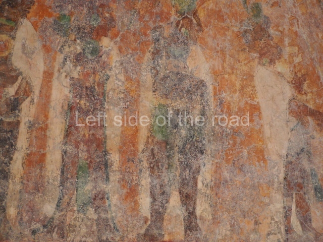
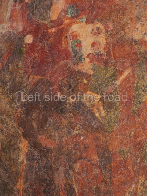
The walls of the three rooms are covered with magnificently executed paintings in deep colours. The event depicted is associated with the designation of Chaan Muan’s son as heir to the throne and to other events that took place over a period of two years. The correct order for interpreting the murals has been a topic of some debate, although the chronological order of the events represented suggests Room 1 followed by Room 2, followed by Room 3. Small benches occupy most of the interior space and the murals were probably designed to be viewed while seated on these benches.
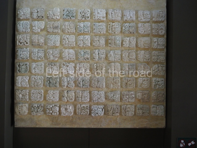
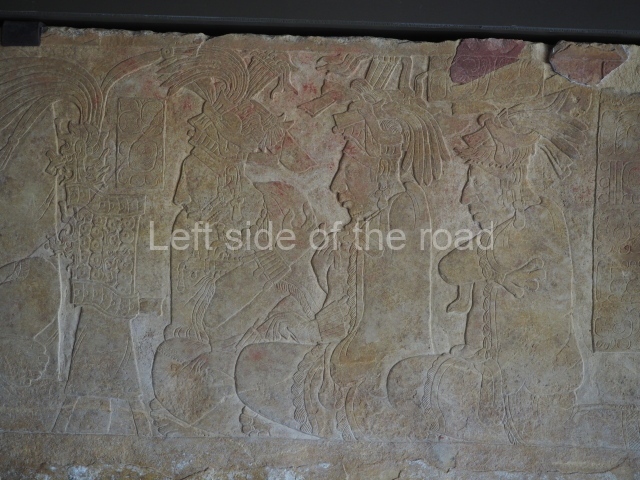
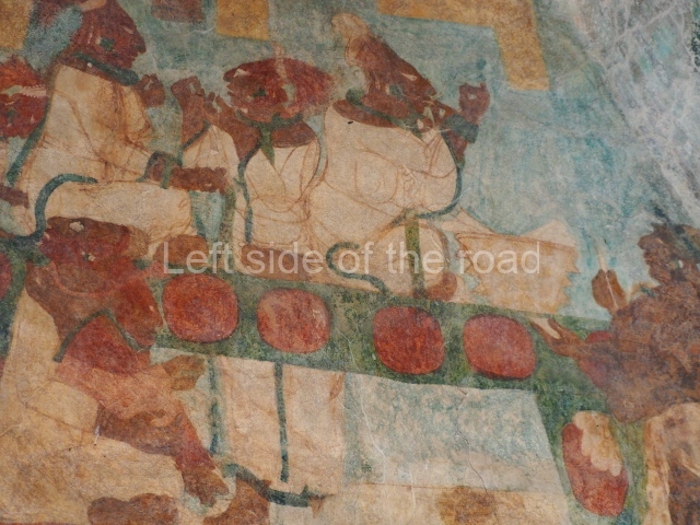
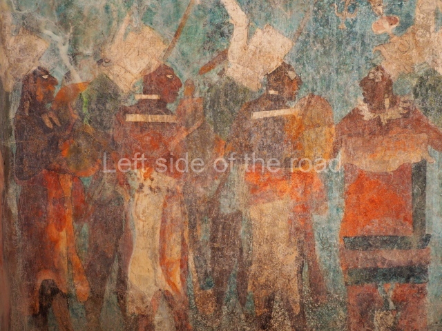
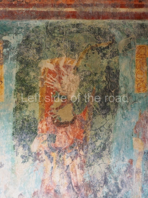
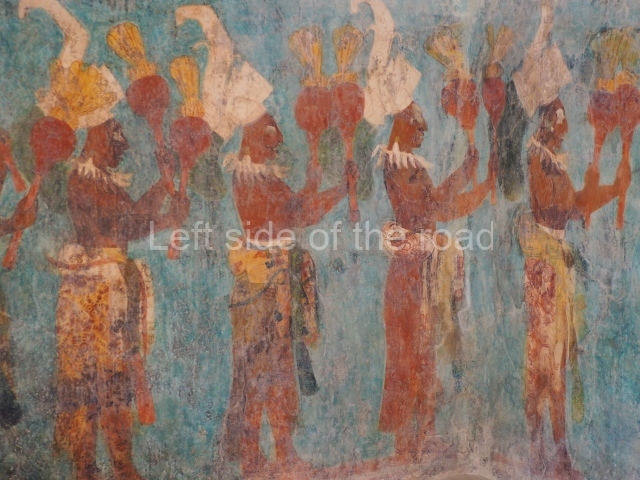
The narrative commences in Room 1 with a date and hieroglyphic text that divide the upper and lower fields of the mural, painted on the vaulted ceiling above the paintings on the wall. The glyphic texts are greatly deteriorated and have therefore not been translated in their entirety. The first date in the text is 790, which probably corresponds to the event recorded on the top part of the wall, the presentation of a royal heir to a group of 14 Bonampak dignitaries, all garbed in long white cloaks and gathered at the court for the occasion. This scene clearly took place inside a palace. The two seated figures, Chaan Muan and his wife, the heir’s mother, observe the scene from a throne. The second date indicates an event that took place 336 days later. Three important individuals are shown preparing for the ceremony. The figure represented entirely from the front and wearing a great headdress is probably King Chaan Muan himself. The scene below shows a procession involving musicians and dancers in fabulous costumes, carrying different musical instruments.
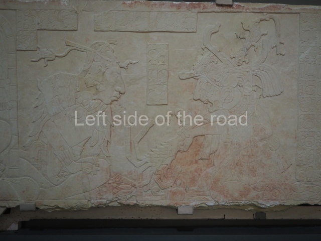
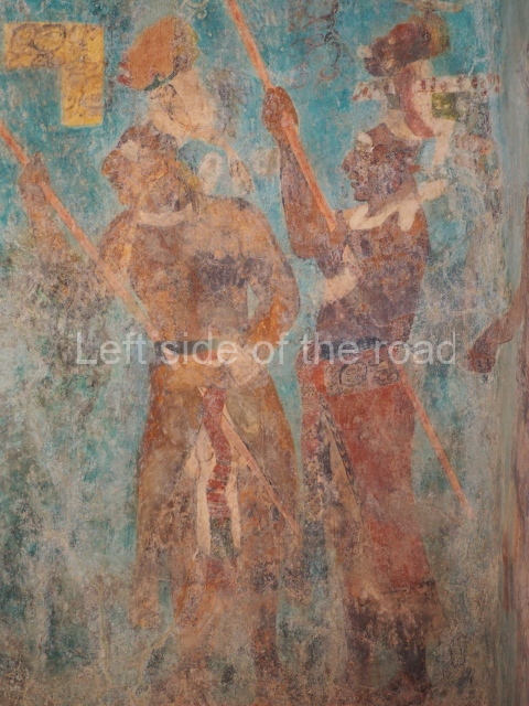
In Room 2, covering practically every surface of the walls, is one of the masterpieces of Maya art: an incredibly realistic portrayal of a battle scene. In the middle of the composition is the figure of a leader, again shown from the front, grasping the hair of a prisoner in one hand and a spear covered with the skin of a jaguar in the other. This figure represents Chaan Muan, who is accompanied by another warrior, probably Shield Jaguar II, the ruler of Yaxchilan. The result of the battle is presented on the north wall of the room. Once again, Chaan Muan occupies the centre of the composition, this time accompanied by a group Of warriors and two women who observe from a distance the presentation of a group of prisoners captured in battle. The principal captive lies at the feet of Chaan Muan, while the remaining captives are distributed on a six-tier structure, probably representing the different levels of the Bonampak Acropolis. The prisoners are no doubt going to be sacrificed at the presentation of Chaan Muan’s successor and heir to the throne.
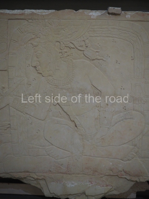
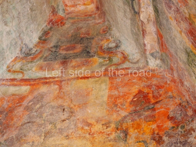
The murals in Room 3 are less well preserved, although many of the original designs can still be discerned. Again, they clearly represent a grand ceremony, probably the culmination of the two previous scenes, this composition is divided into two sections: the first shows a group of elaborately garbed individuals resting on a stepped pyramid while a group of musicians and dancers parade by; the second section shows a scene in a different place, probably inside a palace, and again depicts Chaan Muan, his family and a group of courtiers. In this final section, the royal family is engaged in a bloodletting ritual, thus completing the formal presentation of the royal heir.
From: ‘The Maya: an architectural and landscape guide’, produced jointly by the Junta de Andulacia and the Universidad Autonoma de Mexico, 2010, pp172-178.

Bonampak
- Acropolis; 2. Temple of the Murals; 3. Temple 2; 4. Temple 3; 5. Temples 4 to 10.
Getting there:
It is possible to get close to the site by combi from Palenque but the final stages to the site itself might be complicated. The fact that Bonampak is part of a tour that takes in Yaxchilan as well means that there are tens of people there everyday (and that’s the low season, there will be many more in the high season. That means it would be virtually impossible to use the informal methods of transport that have been discussed elsewhere. Unless you have your own transport the organised tours might be the only way to visit these sites – without a great deal of work, time and effort.
GPS:
16d 42’ 21” N
91d 04’ 06” W
Entrance:
This was all part of the tour price on my visit.
More on the Maya


