Tulum – Quintana Roo – Mexico

Tulum Entrance:

Tulum

More on the Maya

Tulum – Quintana Roo

Location

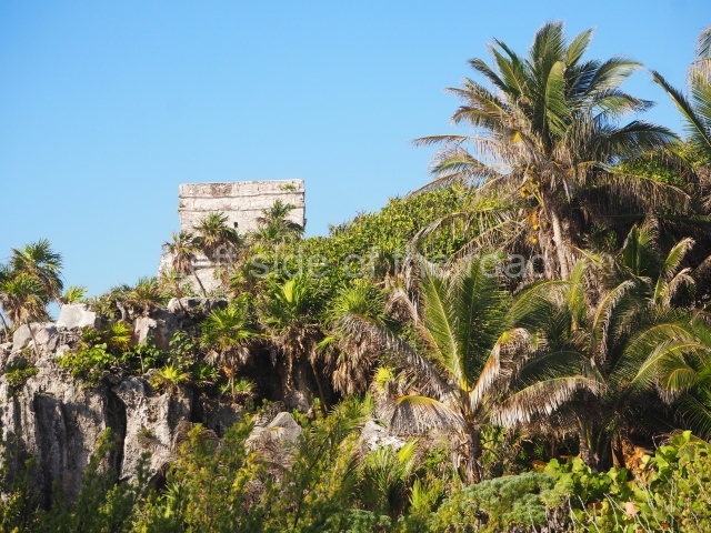
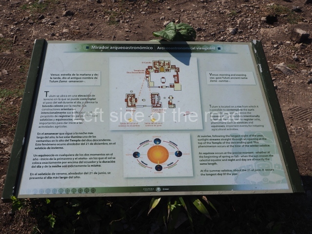
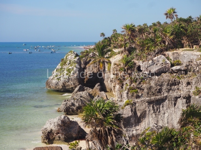
Built on a clifftop on the shores on the Caribbean Sea and surrounded by mangroves and sand dunes, Tulum is situated 131 km south of Cancun on federal road 307 between Puerto Juarez and Chetumal. Tulum was the name given to the city in 19th century and it means ‘wall’ or ‘palisade’, a reference to the defensive wall that surrounds it on three sides. According to 16th-century sources, the original pre-Hispanic name appears to have been Zama (‘dawn’).

History of the explorations

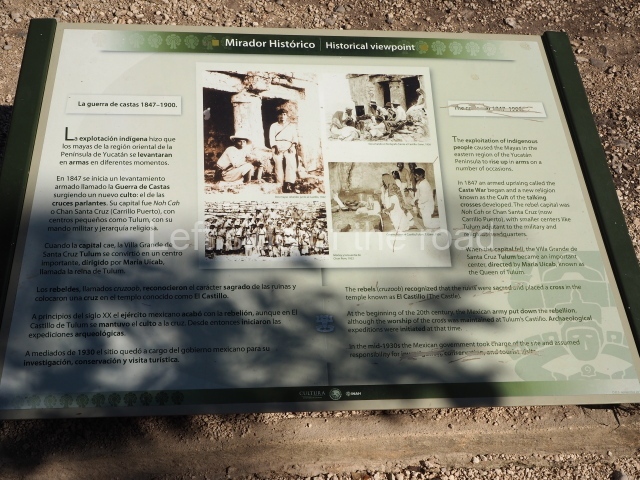
The first reference to Tulum was probably made by Juan Diaz, the chronicler of Juan de Grijalva’s expedition, as they sailed along the east coast of the Yucatan Peninsula in 1518. In his account, he recalls having seen a city as large as Seville. In 1579, in his Relaciones de Yucatan, Juan de Reigosa refers to Zama as a walled city in ruins. At the beginning of the Caste War in 1847, Tulum lay in rebel territory and by 1871 had become one of the sanctuaries for the worship of the ‘talking crosses’, with Maria Uicab as the main priestess.

Pre-Hispanic history

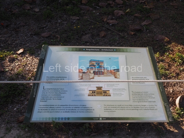
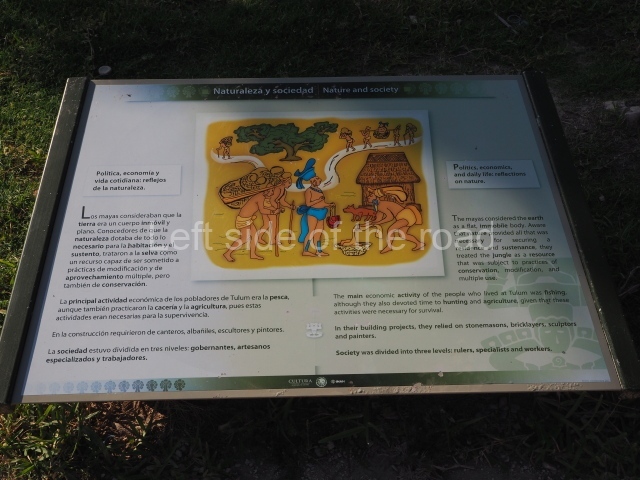
Tulum is the most representative site of the East Coast architectural style. Although it was built between AD 1200 and 1550, it contains elements such as Stela 1 (AD 564) and Structure 59 with architectural characteristics from the Classic era, which suggest an earlier occupation. Tulum is regarded as one of the principal Maya cities of the 13th and 14th centuries, during which time it was a key site on the trade route and a strategic location for exploiting the rich marine resources of the eastern Yucatan coast. Because of its strategic location, some researchers believe that during its peak Tulum must have been an important nexus between the maritime and terrestrial trade of the Yucatan Peninsula. It is also thought to have enjoyed political independence from other provinces until the arrival of the Spaniards and its subsequent abandonment in the 16th century. Some of the architectural characteristics observed at Tulum denote influences from other regions in both the Maya area and Mesoamerica. For example, there are reminiscences of Toltec elements like the ones found at Mayapan and Chichén Itzá, most notably the use of serpent columns. Similarly, although the style of the murals on the buildings has Maya iconographic elements, it is nevertheless very similar to the Mixteca codices from the central plateau.

Site description

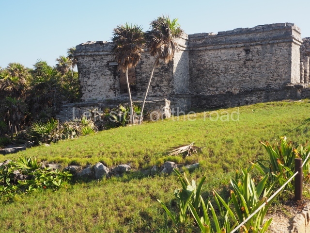
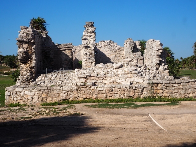
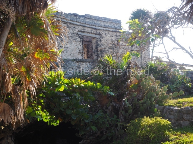
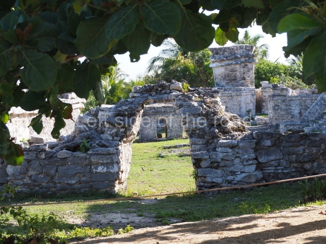
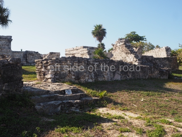
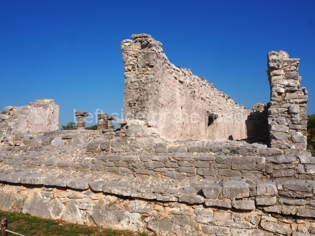
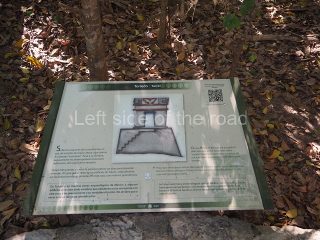
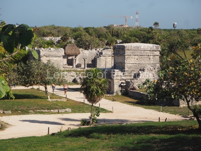
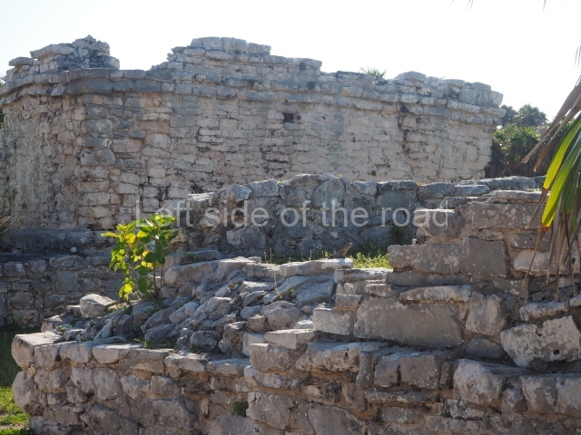
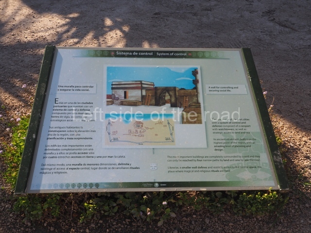
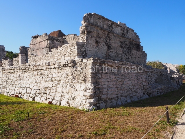
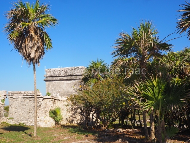
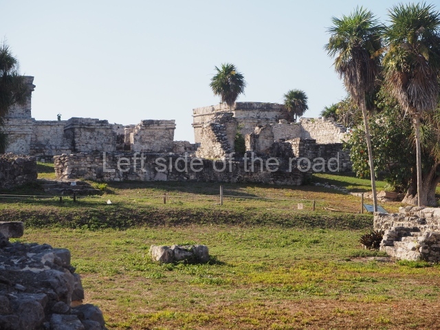
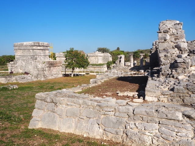
The ruins of the ancient city of Tulum are scattered on a band of some 6 km along the coast and include the core area as well as the simple wood and palm dwellings of the ordinary citizens. The core area is approximately 400 m long and 170 m wide, and is surrounded by a fortified wall on three sides; the fourth side is a cliff overlooking the sea, which provided natural protection. The walled enclosure displays a certain urban layout of its buildings and is crossed from north to south by a causeway. In addition to is defensive function, the fortified wall also turned Tulum into something of a sacred precinct with restricted access. This large wall may well have stood over 4 m high and its five vaulted gateways are still visible today: two on the north side, two on the south side and one in the middle. There are also two watchtowers at the north-west and south-west corners.

Interior precinct.

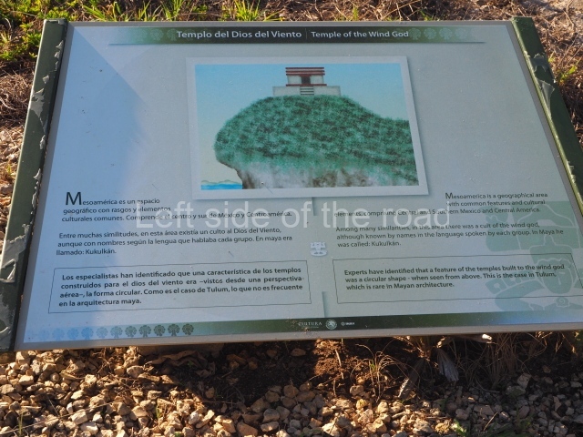
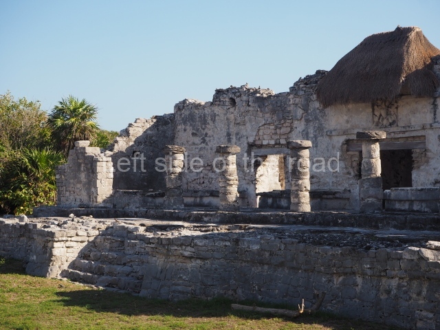
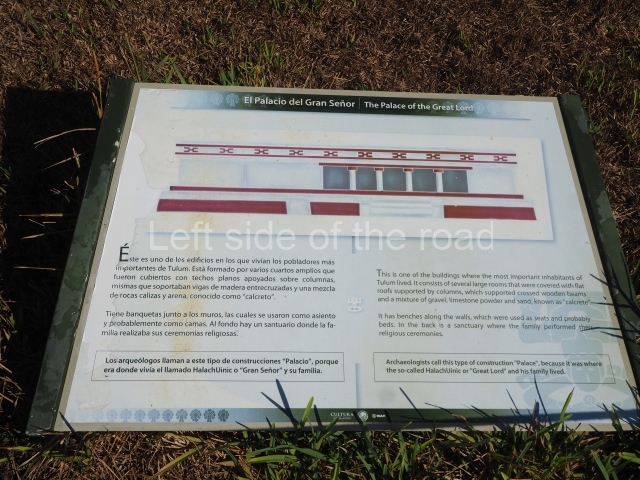
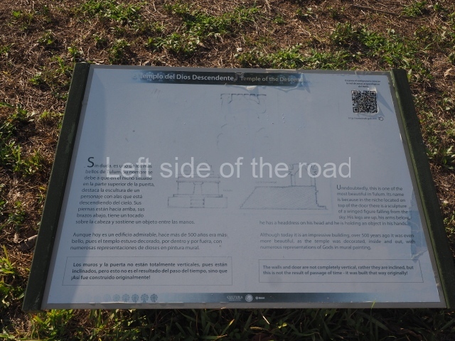
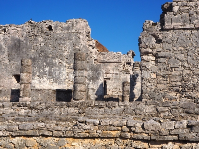
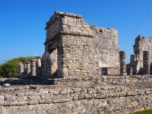
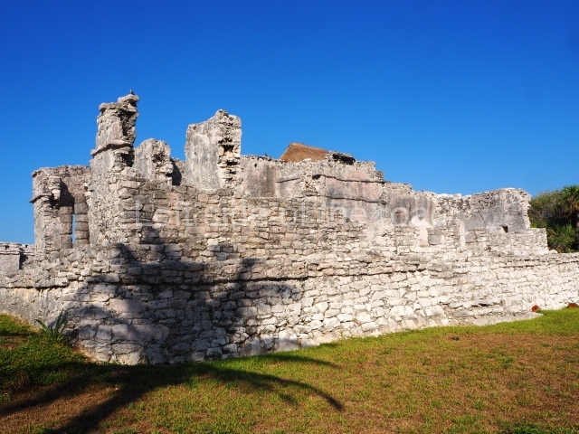
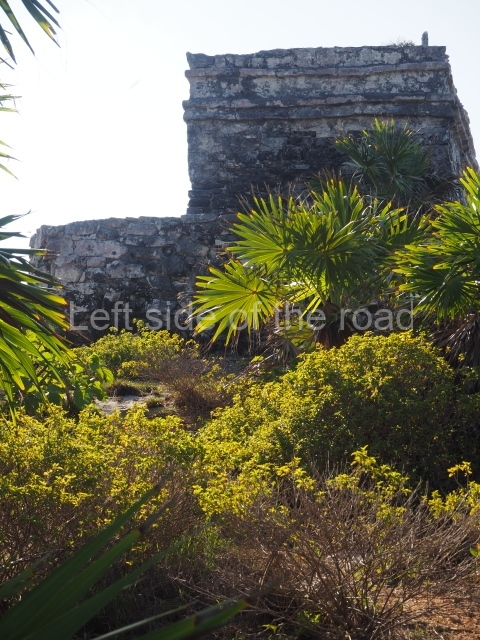
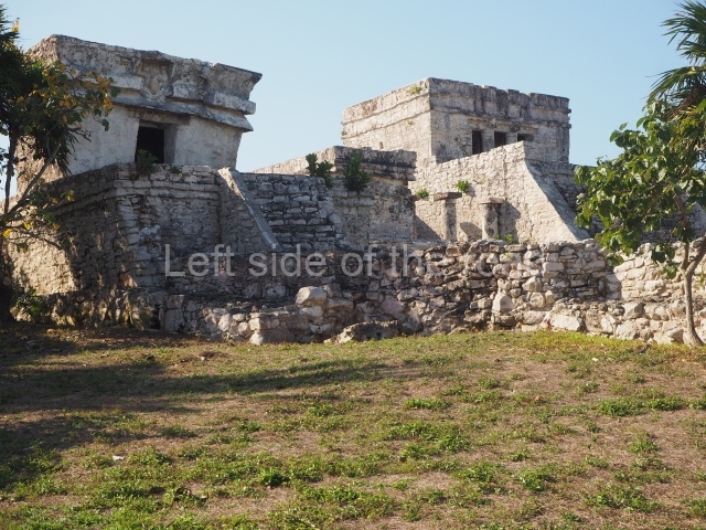
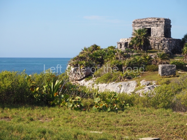
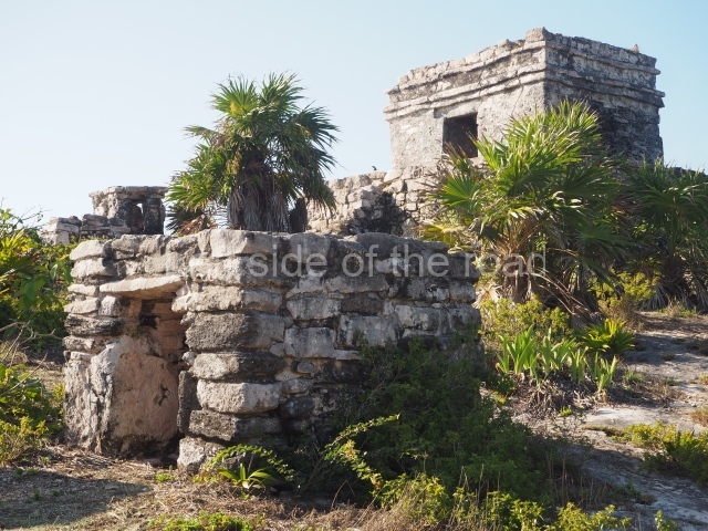
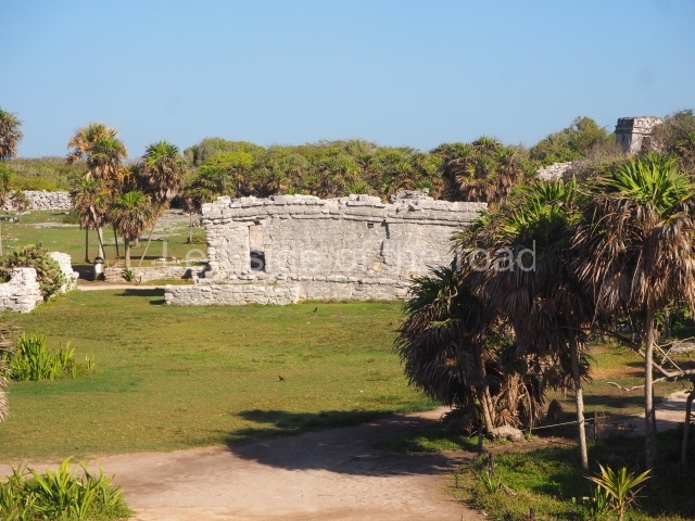
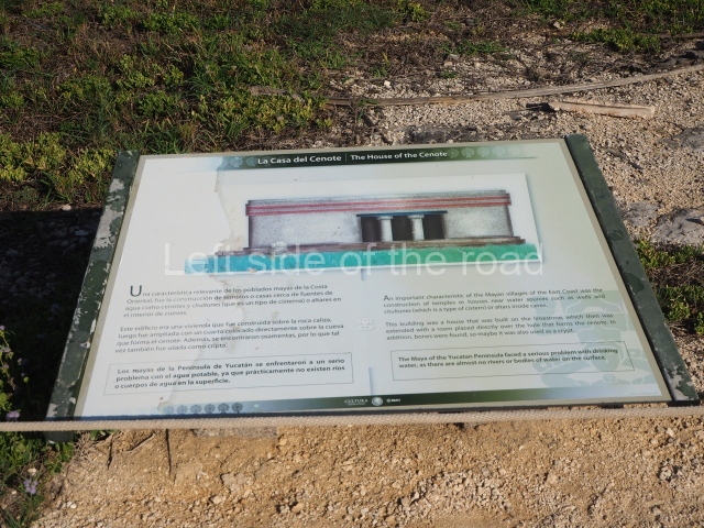
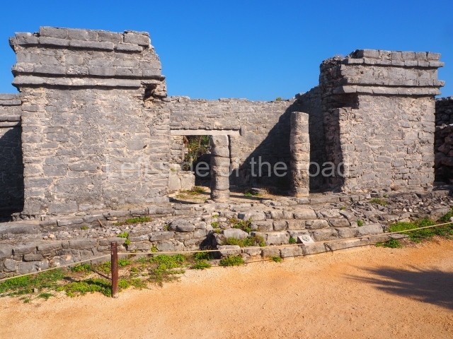
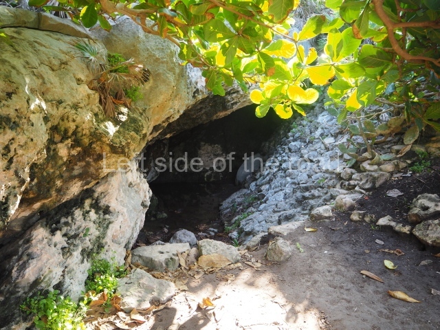
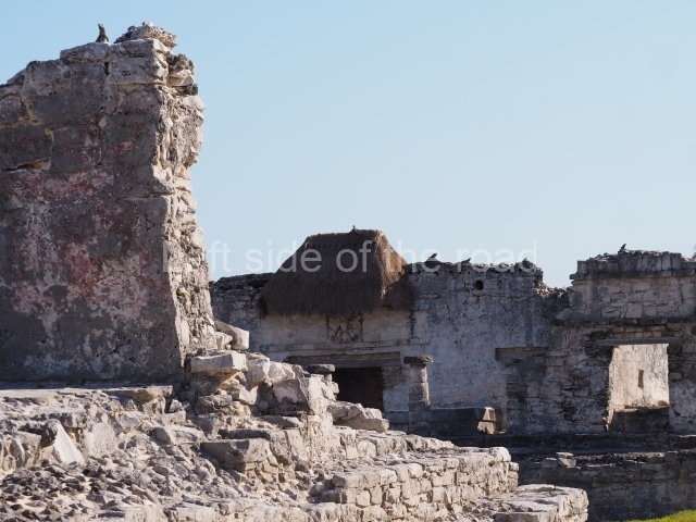
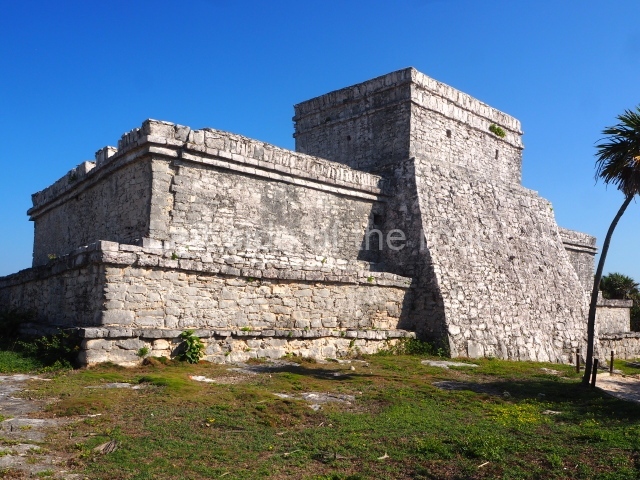
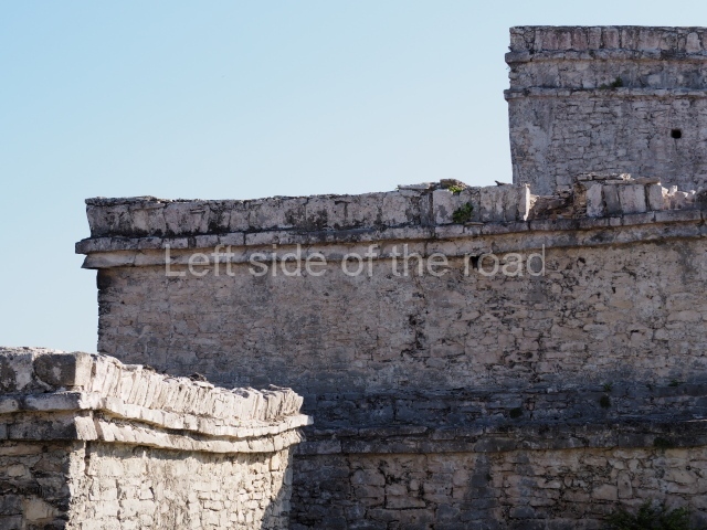
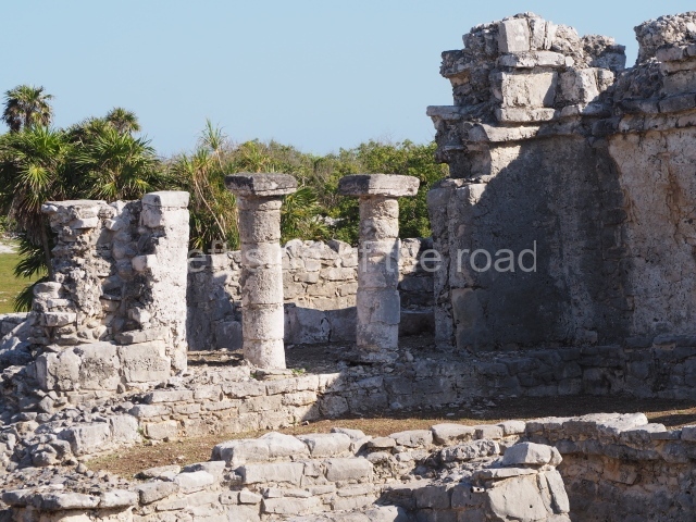
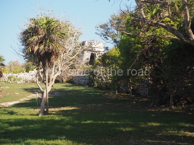
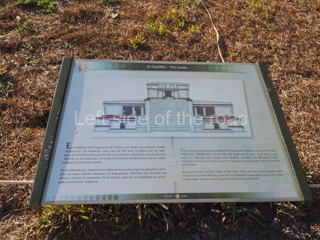
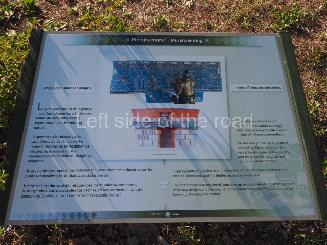
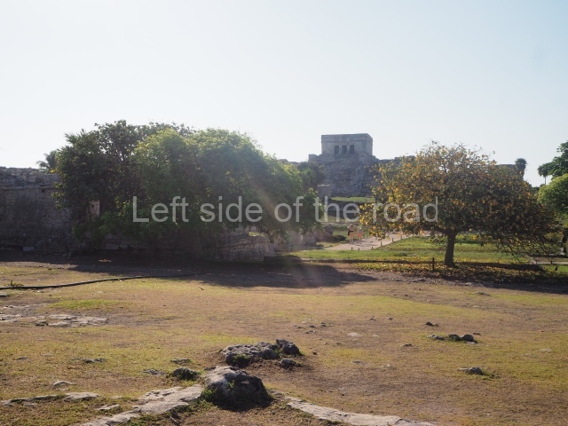
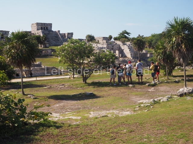
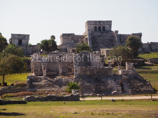
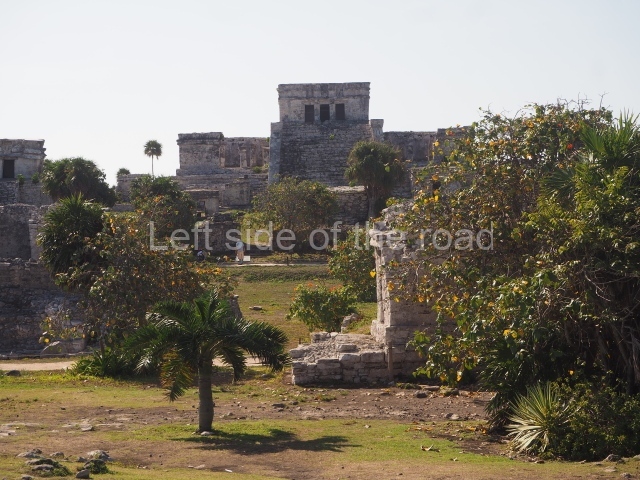
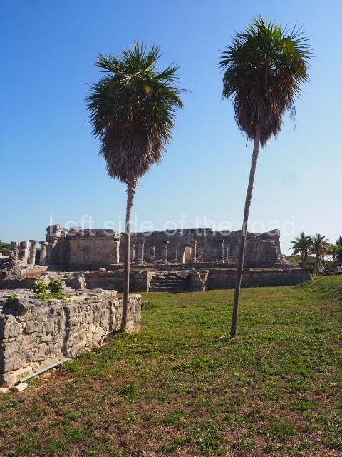
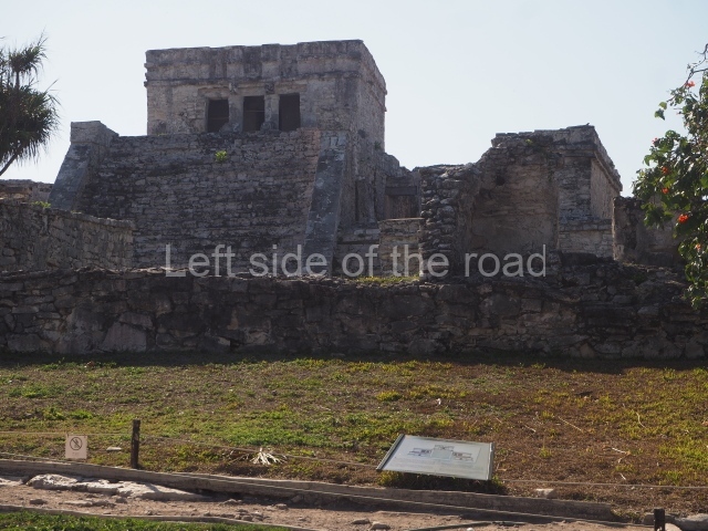
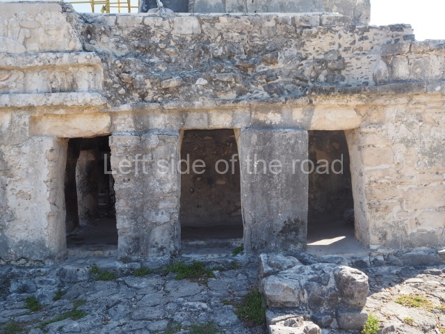
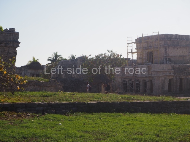
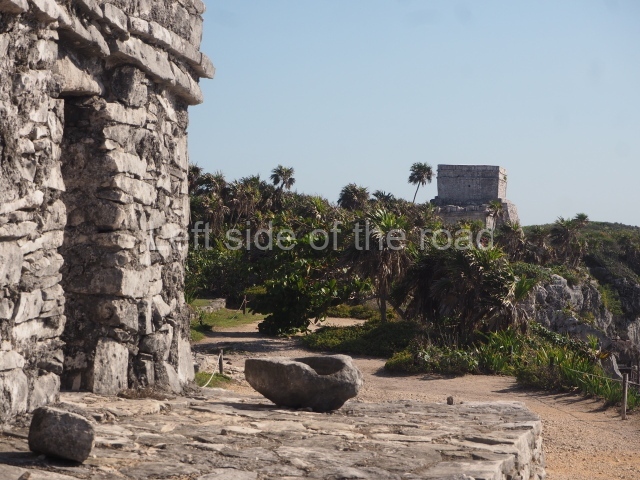
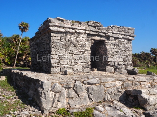
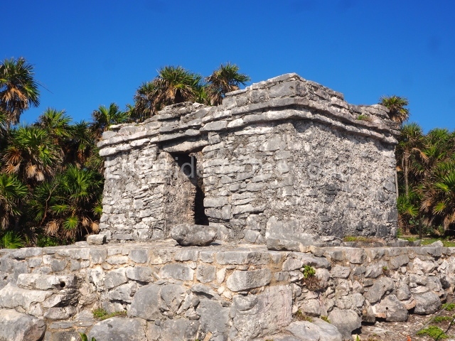
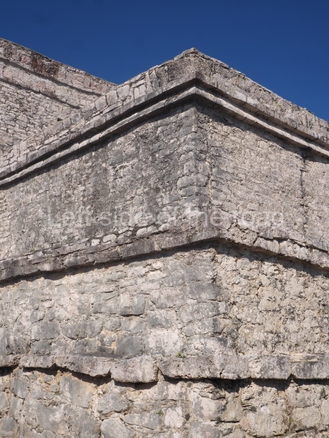
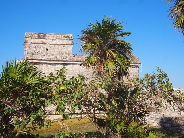
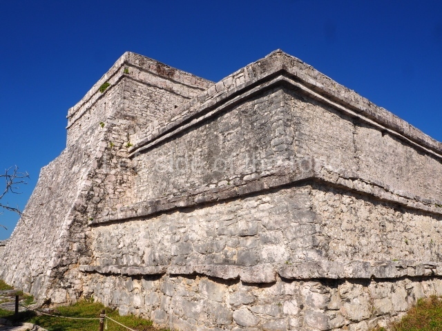
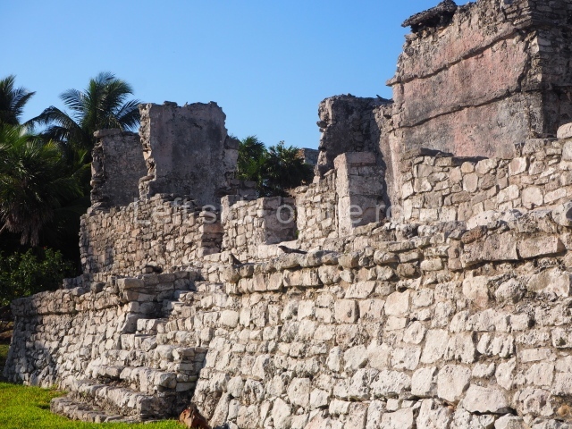
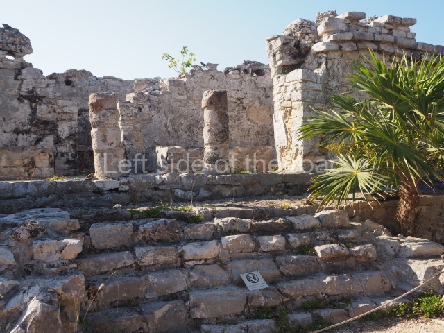
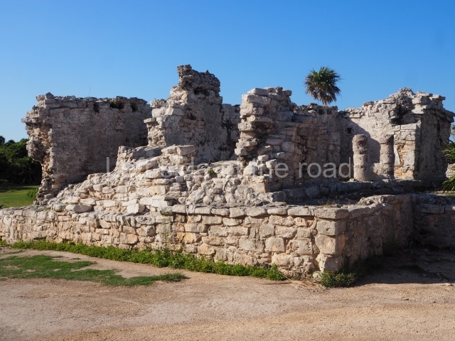
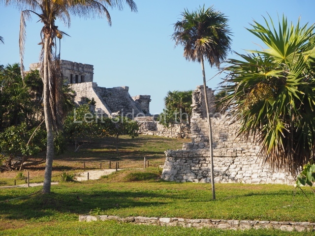
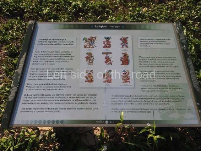
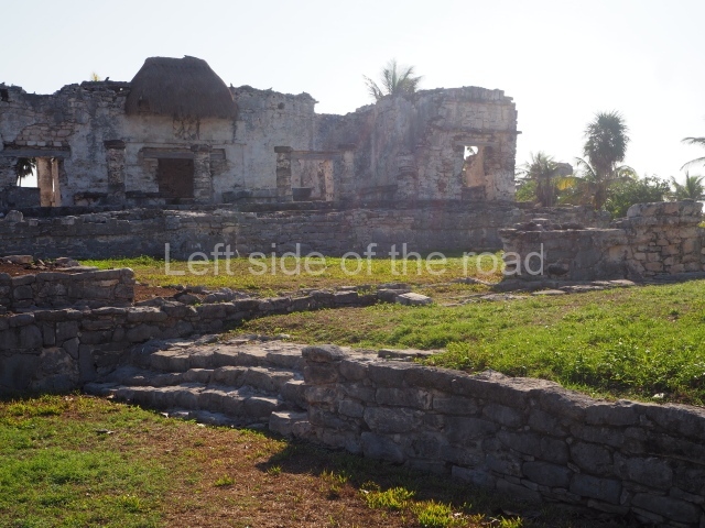
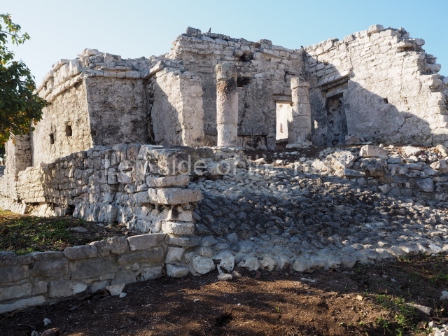
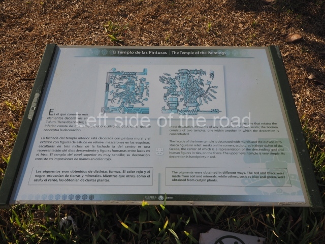
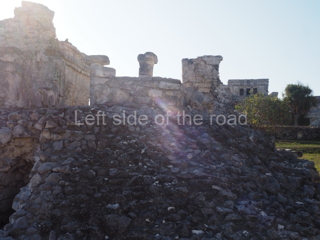
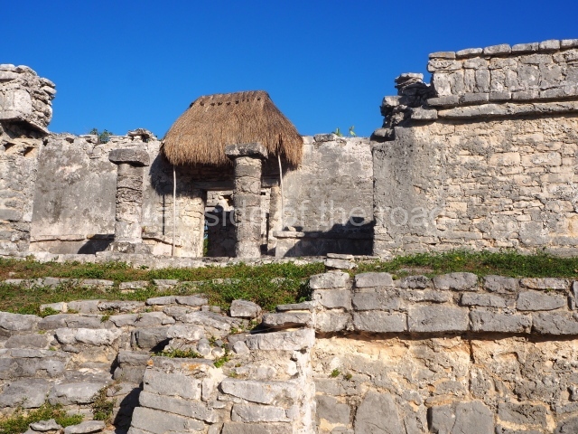
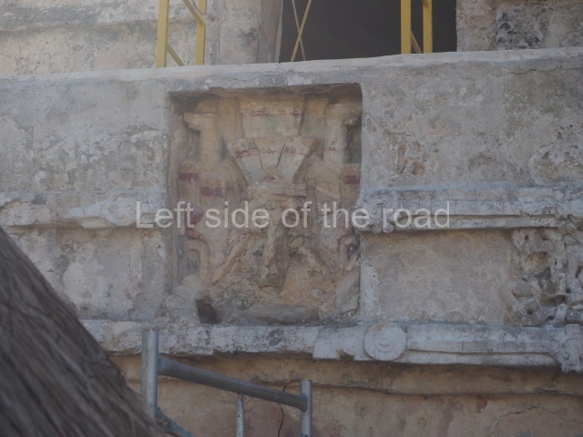
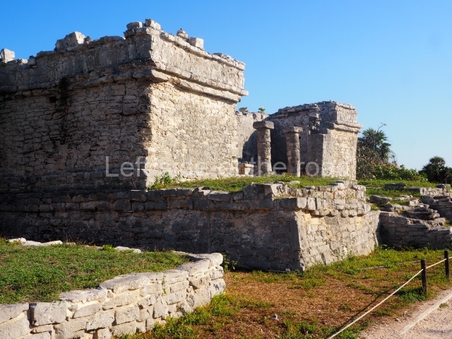
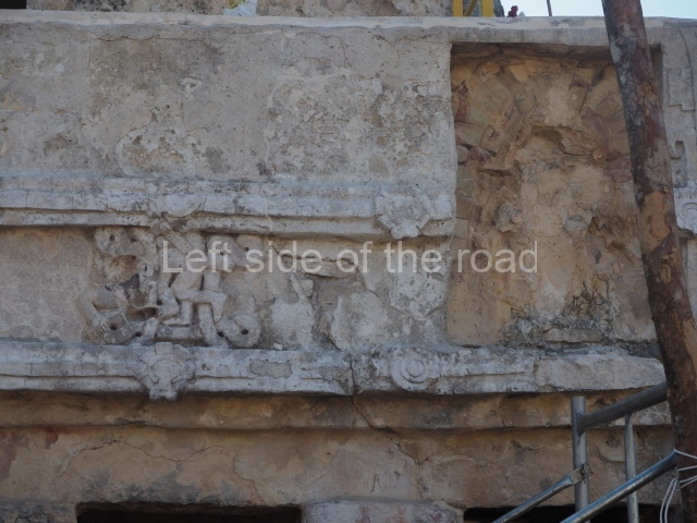
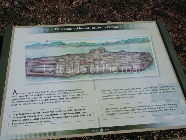
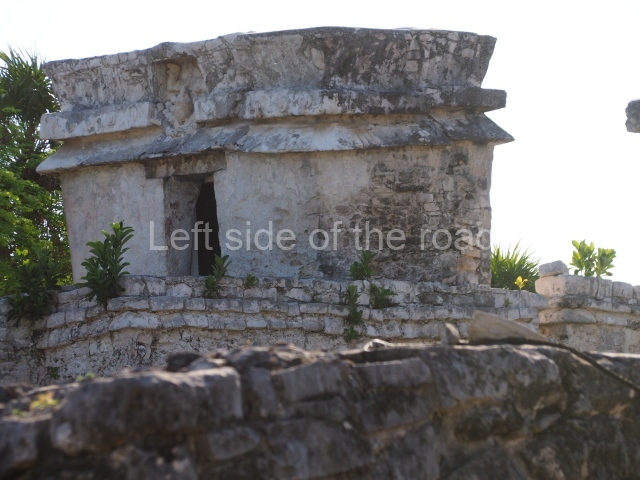
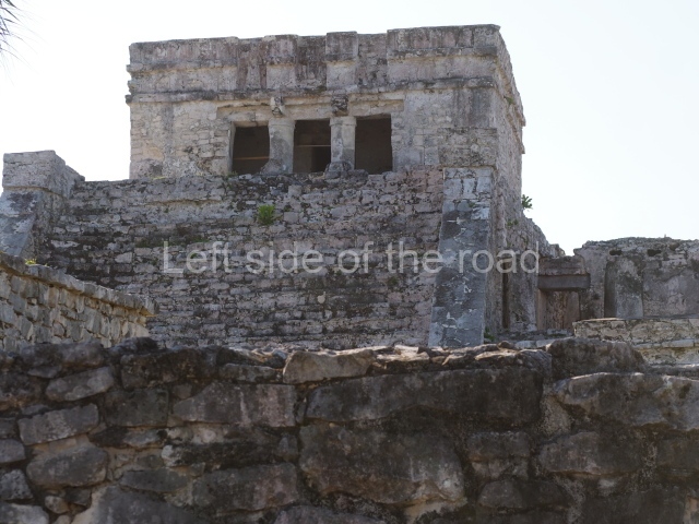
This is the name of the group of 12 buildings surrounded by a second, albeit smaller, defensive wall that restricted access. Inside this area is the Castillo, the most important building at Tulum, built with its back to the sea on the highest part of the cliff. The product of several construction stages, it is higher and larger than any of the other buildings at the site. A wide stairway with balustrades leads to the temple at the top, which contains two room accessed via three serpent columns. The façade displays two zoomorphic masks at the corners and three niches, the middle one of which contains the figure of a diving god. Flanking the stairway are two adoratoriums and at the foot of it a platform that was probably used for dance rituals. Another important building in this group is the Temple of the Initial Series, where the earliest date thus far recorded for Tulum was found. Also of great importance is the Temple of the Diving God, which is composed of a platform and a single-room building with interior benches. This temple is a good example of the ‘fallen wall’ characteristics of the architecture from this period. The main façade and the interior still display traces of paint, and the former a niche with a diving god. Flanking the causeway or main path in Tulum are a series of primarily residential constructions, such as the house of the columns, an L-shaped building with a large interior and a colonnaded entrance that once supported a flat roof. Another interesting example is the palace of the halachuinic, ‘great lord’, with a portico, three rooms and shrine within. The façade of this building also displays a niche with an image of the diving god and traces of the original paint. In the centre of the city, almost opposite the Castillo, stands the Temple of the Frescoes, one of the most interesting buildings in the Maya area in terms of its pictorial representations. It is the product of several construction phases; the original building was a room with an altar and richly painted walls, and a diving god in the central niche on the façade. It subsequently gained a portico or gallery on three of its sides, which is the construction we see today; it has four columns at the front and two pilasters to the south, flanking the entrance. The main façade contains three niches with representations of the diving god and figures with feathered headdresses. At every corner of the building is a giant mask of the god Itzamna, the lord creator of all things. The small temple on the roof of this building corresponds to the final stage of construction. The paintings inside make reference to different gods, mainly associated with farming and the underworld. In front of it stands Stela 2, nowadays greatly eroded but which once displayed the profile of a dignitary wearing a bird headdress. Situated opposite the former building is the House of the Chultun, a residential construction. The three entrances, defined by columns, lead to a large interior space which once had a flat roof made of wooden beams and lime concrete. Like most the buildings at Tulum, the façade displays a diving god. At the south-west corner of the building we can see a chultun, a type of cistern for collecting rainwater, from which the house takes its name. Situated in the northern section of the settlement are the House of the North-west and the House of the Cenote, as well as various adoratoriums near the coast the temple of the wind god. The former construction has three entrances flanked by columns, while the House of the Cenote stands on the natural vaulted roof of a cenote and also has three colonnaded entrances. Both constructions are thought to have served as family tombs. The Temple of the Wind God stands on a natural elevation at the edge of the cliff. Its semi-circular platform and the small altar inside suggest that it may have been dedicated to the wind god. Six small adoratoriums are situated to the north-east, so tiny that they must have fulfilled some religious function. Finally, situated at the south-east corner of the city is a group of elite residences.

Jose Manuel Ochoa Rodriguez

From: ‘The Maya: an architectural and landscape guide’, produced jointly by the Junta de Andulacia and the Universidad Autonoma de Mexico, 2010, pp445-447

Further Information:

Tulum – Rand McNally

Tulum – Rough Guide

How to get there:

From Tulum town. The entrance to the site is about 3 kilometres from the centre of the modern tourist town of Tulum. You might want to consider hiring a bike for the visit. The actual entrance to the site is a long way from the entrance on the main road, having first to pass what sounds like an horrendous ‘theme park’ and then you have to run the gauntlet of a huge shopping and eating complex. A bike will allow you to pass quickly through all this tat.

GPS:

20d 12′ 52″ N

87d 25′ 44″ W

Entrance:

First there’s a charge of M$58 to enter the ‘biosphere’. This at a control on the approach road to the site. Then it’s M$90 to actually enter Tulum ruins.

It starts to get busy very soon after opening (at 08.00) and by 09.00 small guided groups start to arrive which soon make the small and quite compact site feel crowded.

More on the Maya

Mayapan – Yucatan – Mexico

Mayapan

Mayapan

More on the Maya

Mayapan – Yucatan

Location

Mayapan is situated 43 km south-east of Merida and 2 km south of the village Telchaquillo. The karst nature of the soil in the Mayapan region has given rise to rocky outcrops and natural depressions, cenotes (wells), caves and holes. The climate is of the hot sub humid variety with the rainfall occurring in the summer months and an average annual temperature of 22° C. The flora consists of deciduous trees and secondary low scrubland.

Pre-Hispanic history

The archaeological evidence suggests that Mayapan was inhabited from before the Common Era until the decline of the city around AD 1450. The data obtained is very general, indicating that people lived in or around the site from the Preclassic and Early Classic periods (300 BC-AD 600). Several stones used in the construction of new temples and residences have survived from the early periods. Mayapan experienced its heyday in the Postclassic period (AD 1050-1450), when it was the seat of a coalition government and the last great centralised capital that ruled over the provinces in the north-west and centre-north of the Yucatan Peninsula.

The first chronicler who mentioned Mayapan was Gaspar Antonio Chi. His father, the priest Napuc Chi, a dignitary of the Xiu, was murdered by Nachi Cocom in 1536; his mother was lx Kupil, of the Mani royal family. Gaspar Antonio was an informant of Brother Diego de Landa and wrote his own chronicle in 1582, where he mentions the importance of the Xiu family and the fact that the city fell in 1420. Around 1560, Brother Diego de Landa mentions that Mayapan was founded by Kukulcan (Quetzalcoatl) in the year Katun 13 Ahau (AD 1263-1283) – when Chichen Itza fell and was abandoned – who ruled for some time and then left for the centre of Mexico. The Chilam Balam notes the existence of a coalition government between Uxmal, Chichen Itza and Mayapan, nowadays known as the Triple Alliance. The archaeological excavations have not corroborated this entirely due to the chronological differences between the three sites: Chichen Itza and Uxmal both experienced their heyday prior to Mayapan. Around 1380, the main rulers decided to form a coalition government, which marked the beginning of a regime led by the Cocom family – as the richest and oldest lineage – until its defeat. The Xiu then arrived from the south and occupied the second position within the Mayapan government due to their diplomatic conduct and administrative expertise. The chronicles refer to the multepal or coalition government led by the Cocom, Xiu and Canul lineages, which occupied Mayapan the longest. Towards the middle of the 15th century, in the Katun 8 Ahau (AD 1441-1461), Mayapan was destroyed, burned and abandoned. The chronicles state that there was a battle to seize control of the walled precinct and dissolve the coalition government.
Site description

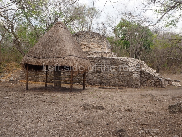
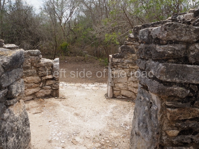
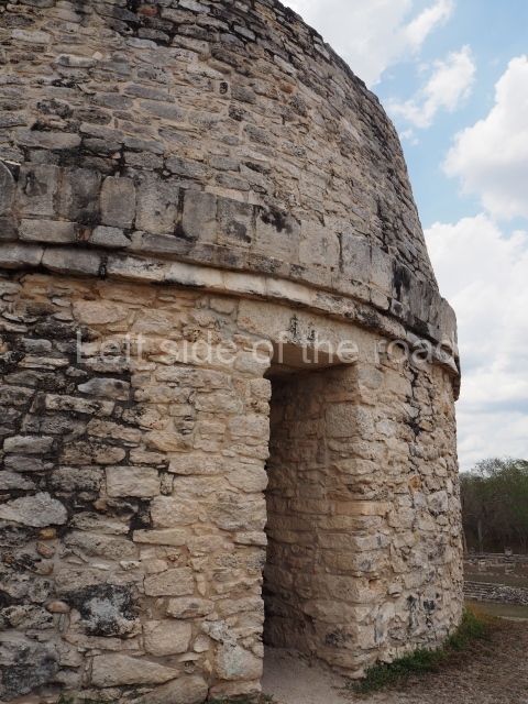
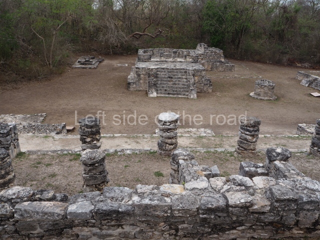
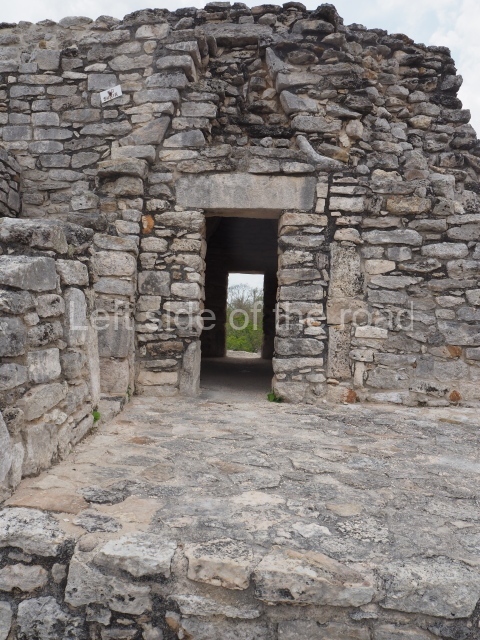
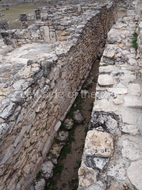
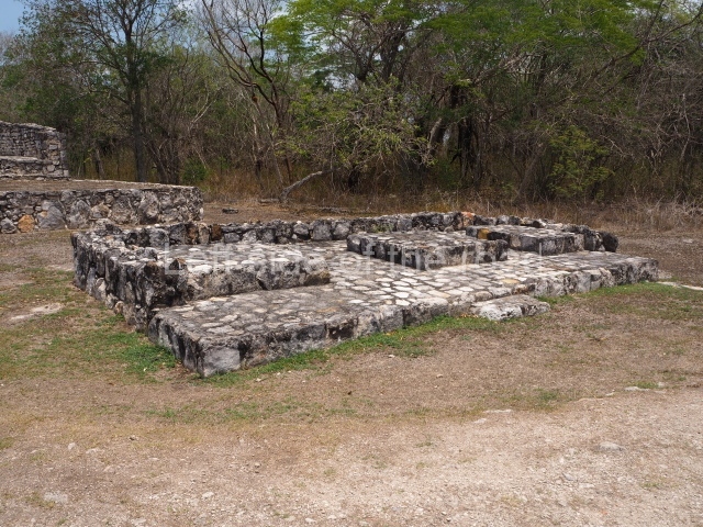
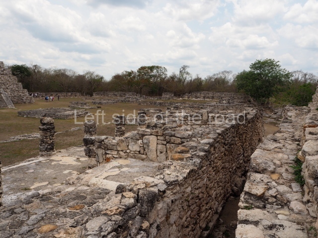
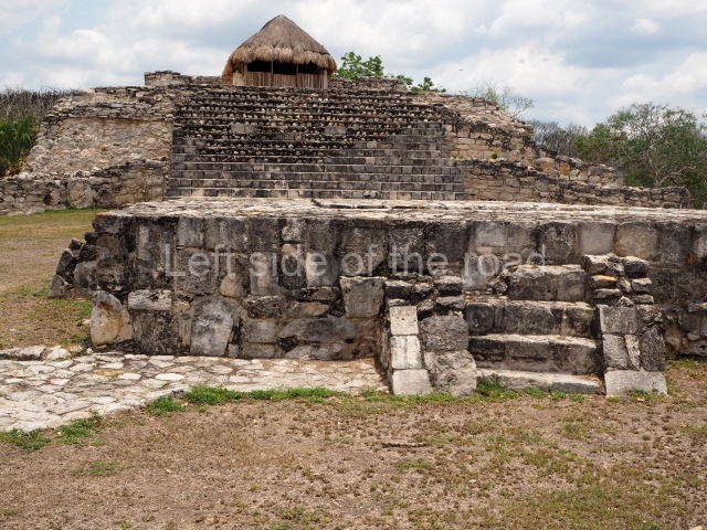
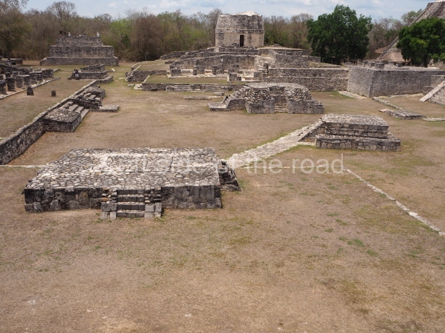
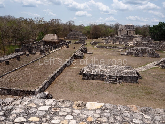
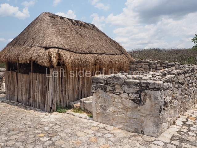
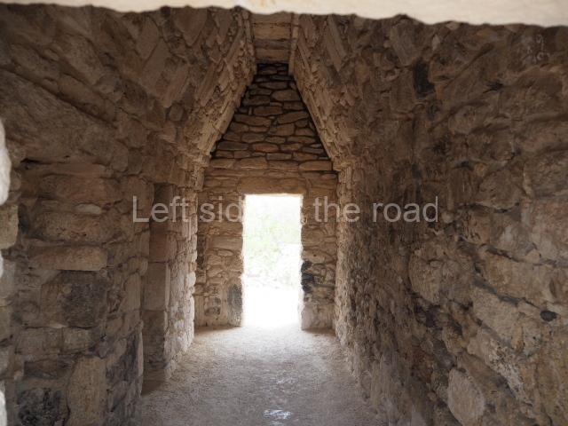
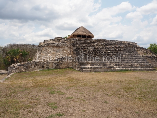
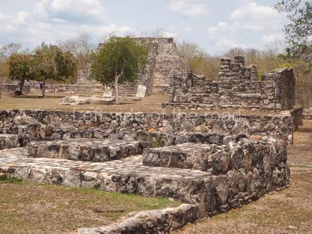
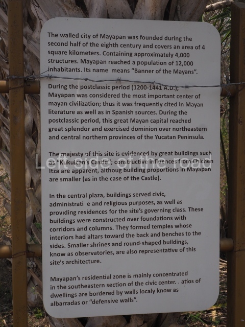
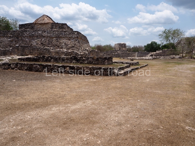
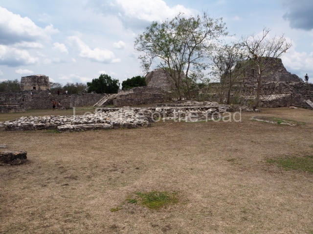
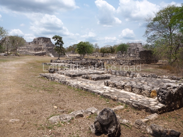
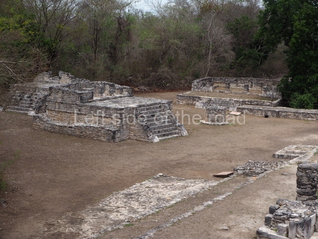
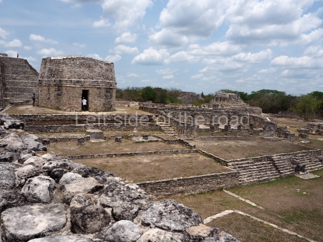
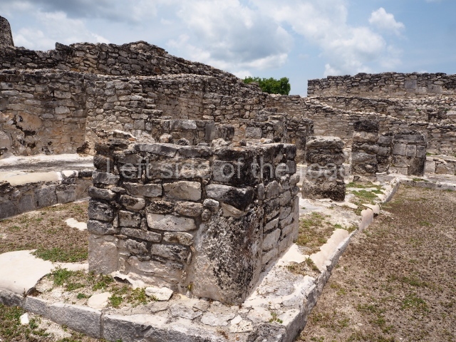
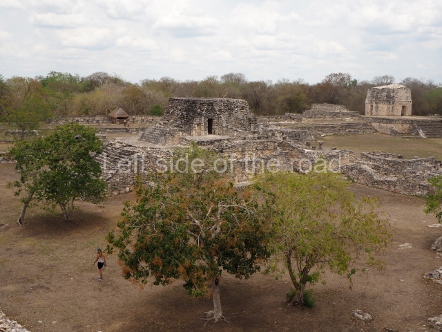
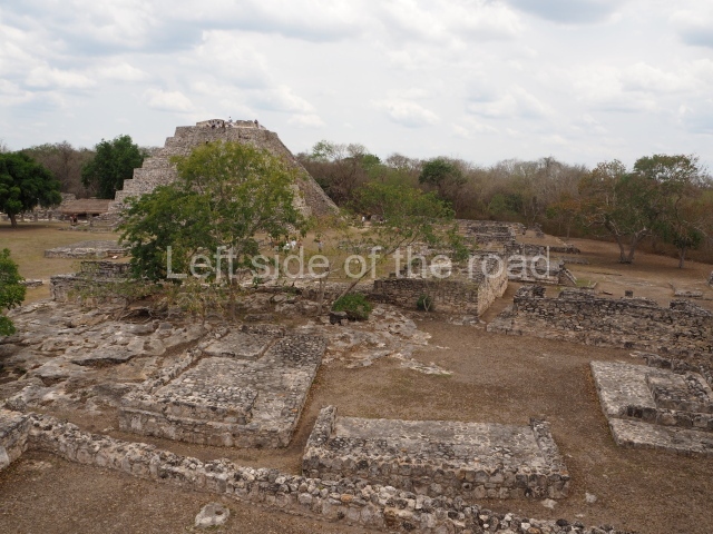
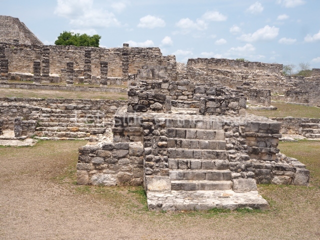
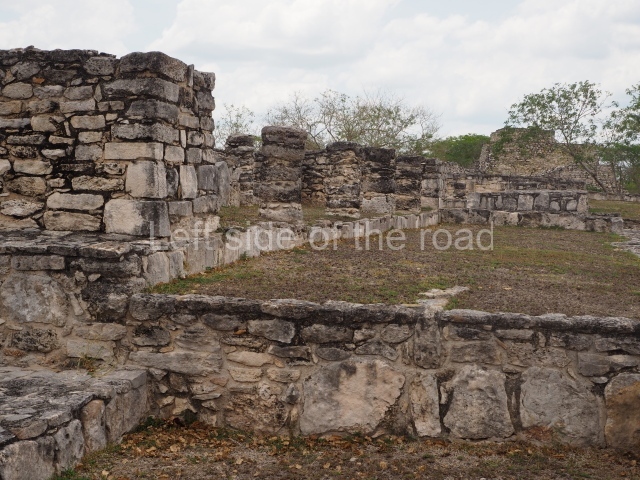
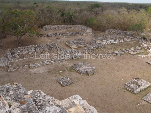
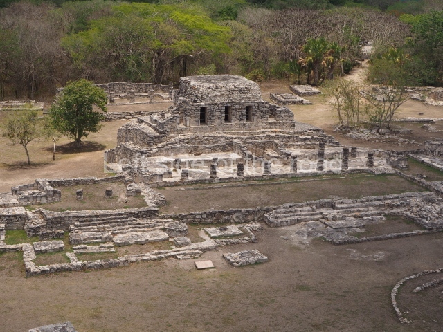
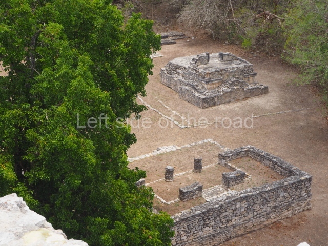
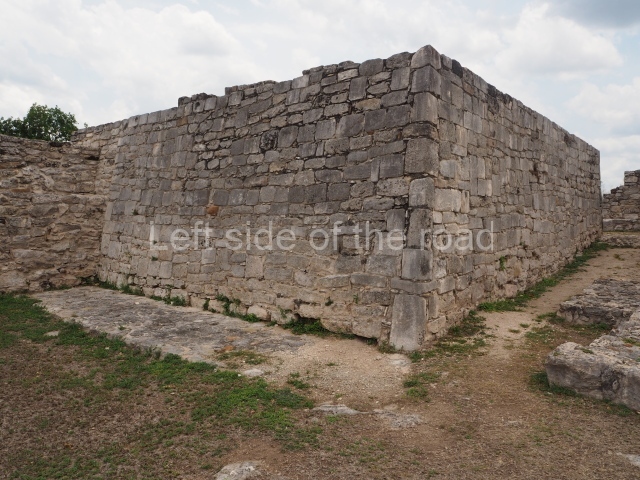
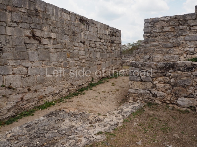
The city of Mayapan is surrounded by an elliptical dry wall which has a circumference of over 9 km and encompasses an area of 4.2 sq km; situated inside it are around 4,000 structures and it is estimated to have had a population of 12,000. The core area comprises the civic, administrative and religious buildings, as well as the residences of the ruling class; these are spacious hypostyle rooms, temples and oratories, constructed on platforms, with wide entrances divided by columns, an altar or shrine inside, abutted to the rear wall, and benches along the sides. Circular buildings known as ‘observatories’ are also characteristic features at Mayapan. Situated inside the walls is the residential area where the population lived, principally in the south-east section. This was the place where the ‘houses for the lords’ were built, ‘between whom they divided up the land, giving villages to each according to the antiquity of their lineage and nature of their person’. This section contains most of the housing and the dry walls that delimit the plots. There are also residential constructions beyond the perimeter wall where the common people lived.
Castle of Kukulcan

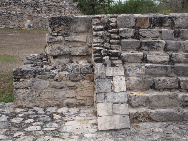
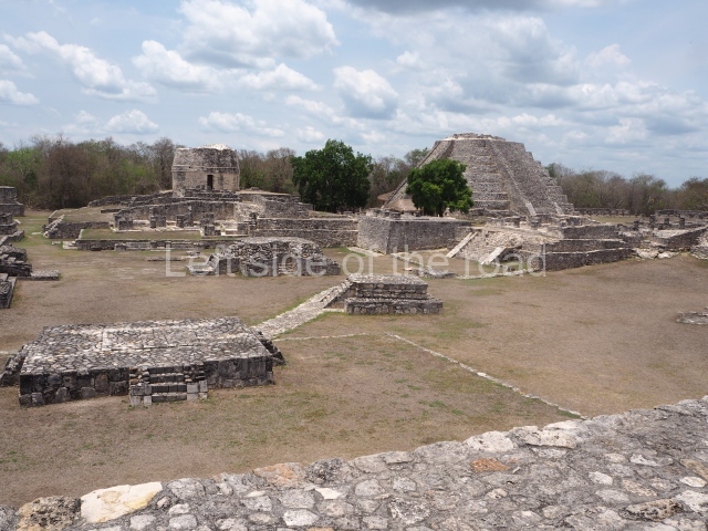
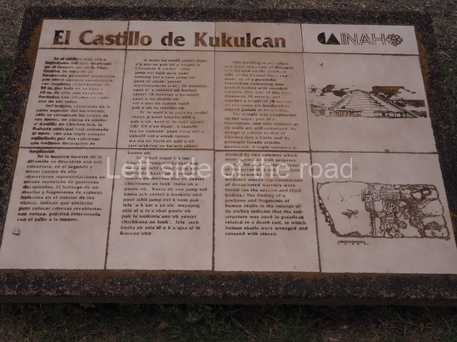
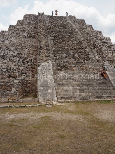
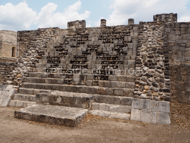
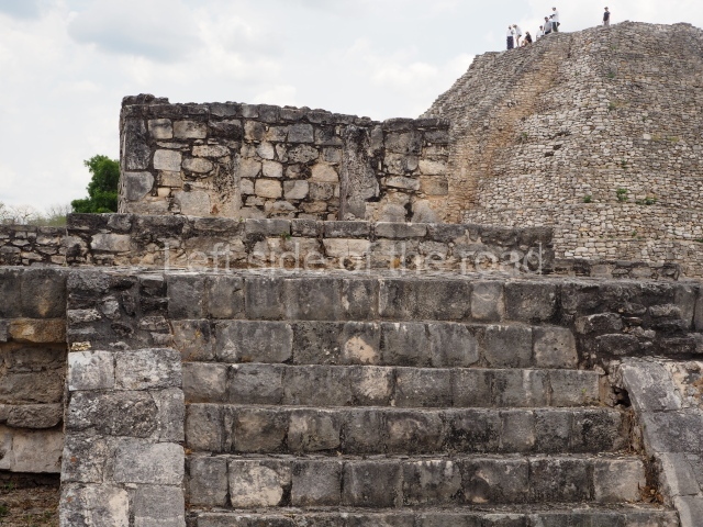
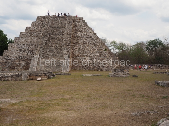
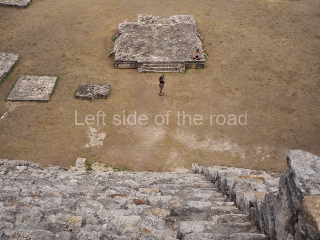
This is situated on the south side of the Central Plaza and is the highest building at Mayapan. It adopts the form of a nine-tier echeloned platform with rounded corners, measuring 30×30 m and standing 18 m high. Each side has a stairway with balustrades. Atop it is a temple with a north-facing facade, the entrance of which consists of a two-column portico once decorated with serpents. There is a sub-structure at the south-east corner of the pyramid, with representations of decapitated warriors in moulded stucco. The discovery of fragments of human skulls inside the niches of the sub-structure confirm that it was used for placing stucco-covered heads, a practice associated with death worship.
Crematorium

The second-highest pyramid at Mayapan, this is situated on the west side of the North Plaza and is surrounded by a wall on three sides. The structure shows two construction phases comprising four sloping tiers with rounded corners, a temple at the top and a stairway with balustrades on the east side. The temple at the top has a triple entrance separated by two columns and there is a shrine inside. A tomb 7 m deep containing burials was found at the top of the platform. The building is 20 m long, 17 m wide and 8 m high.

Round temple

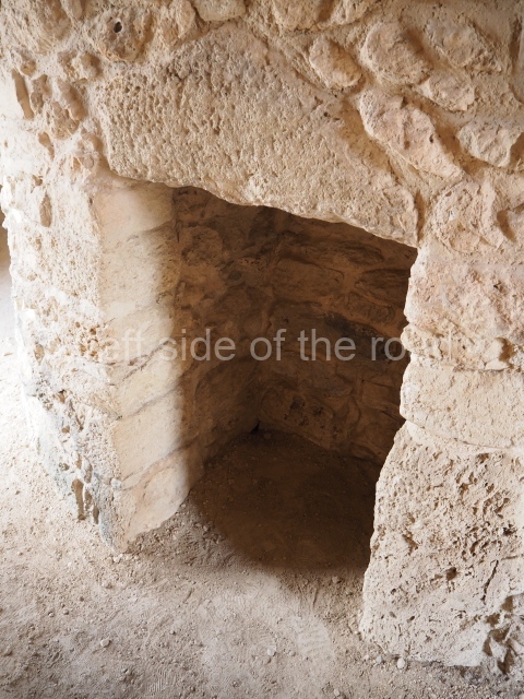
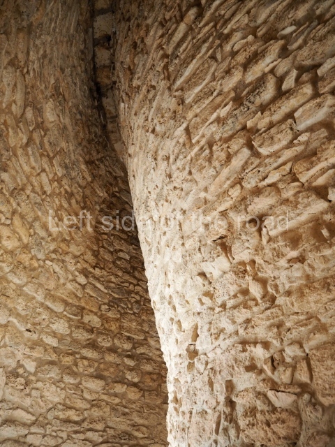
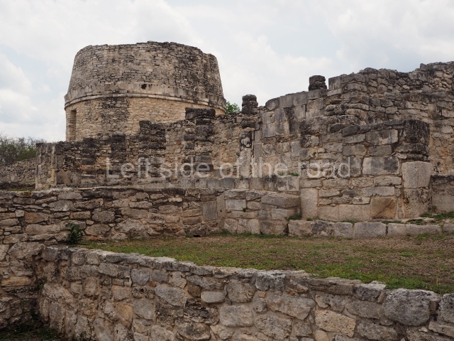
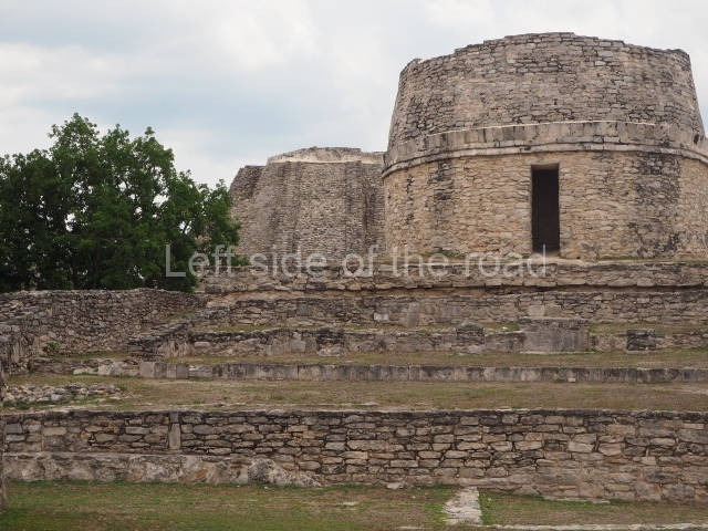
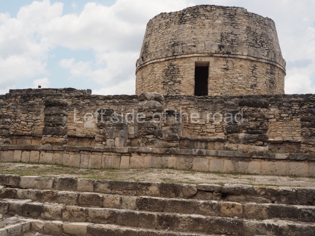
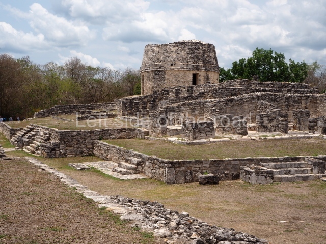
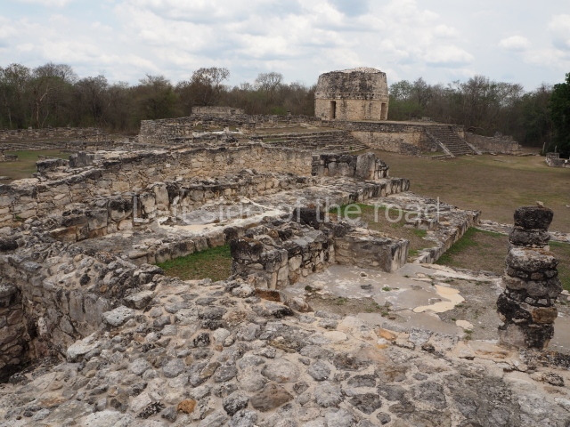
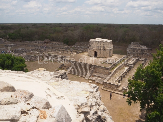
This is situated on the east side of the Central Plaza. It is a rectangular platform with moulding around the top and a balustraded stairway. It is 20 m long, 18 m wide and 3.5 m high. At the top is a circular, vaulted temple 10.20 m in diameter and 7.50 m in height, with four entrances and thick walls 1.15 m wide. The central part of the temple consists of a cylindrical volume 4.50 m in diameter with four niches in the lower section, two of which show traces of mural paint. This volume and the walls form the interior space, measuring 2.75 m in width and 6 m in height. There are also two small constructions – a small altar on a dais and a shrine – on the north side of the stairway.

Temple of the painted niches

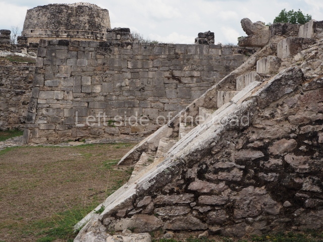
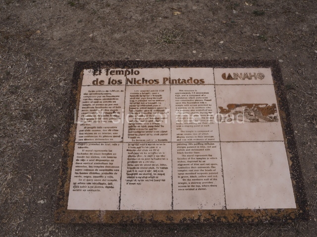
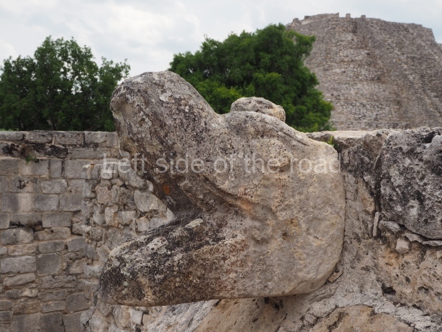
This is situated on the south side of the North Plaza and stands 7.50 m high. There is a stairway on the north side of the Plano de la Plaza Central de Mayapan: platform, built in two stages. The temple at the top is composed of seven rooms; two have niches inside and one of them has traces of mural paint depicting the facades of five temples, where the niches symbolise the entrances; the designs are outlined in black and painted in blue, red and yellow. The temples rest on serpent heads with open mouths, painted green, black, yellow and red.
Temple of the Fisherman

This occupies the north side of the North-East Plaza. The platform has sloping walls and a cornice on two of its four construction phases; it is 21 m long, 17.40 wide and 5 m high. The stairway leading to the temple is on the south side; the latter has a single bay with two pilasters at the front and a dividing wall. In the east room are two benches and an altar in the middle. The west bench contains traces of a scene depicting a human figure catching a lizard and fish.

Hall of the masks

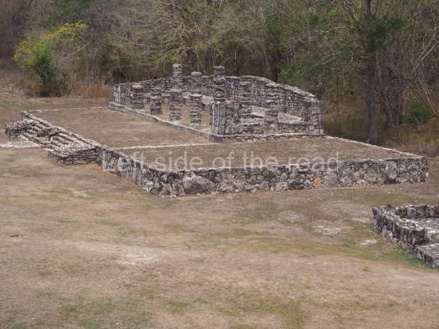
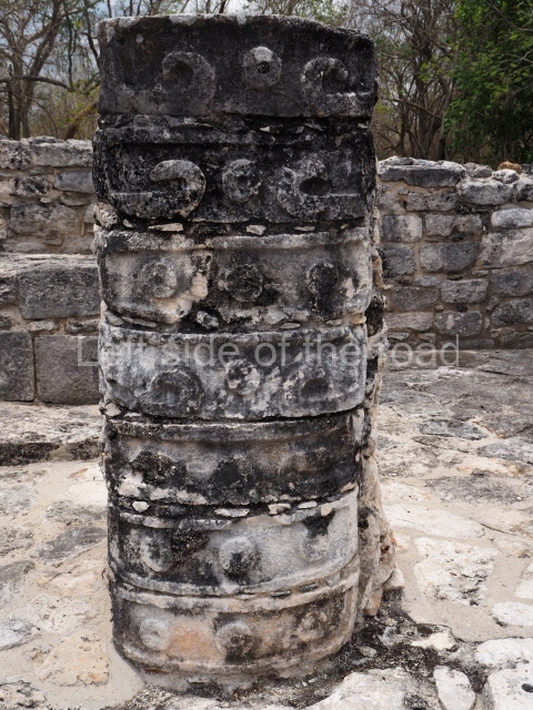
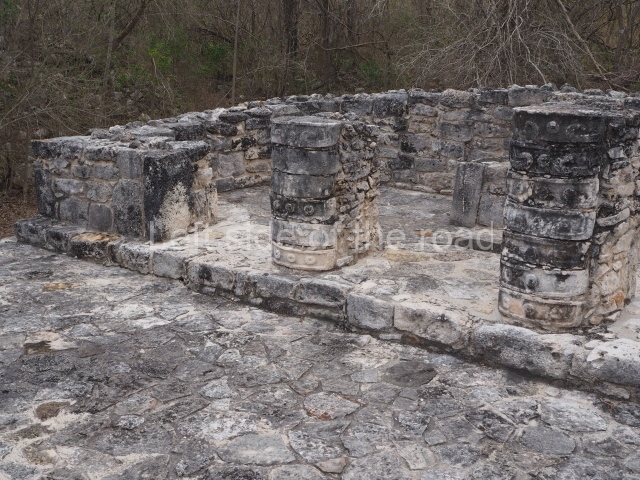
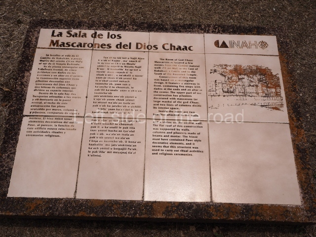
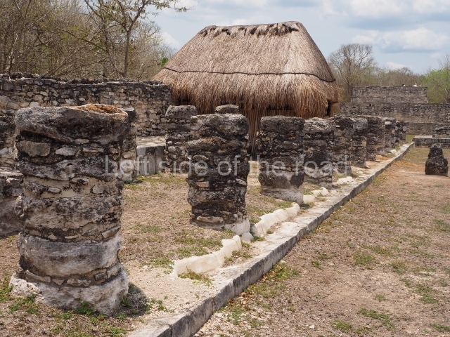
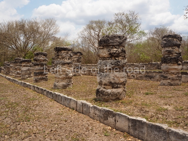
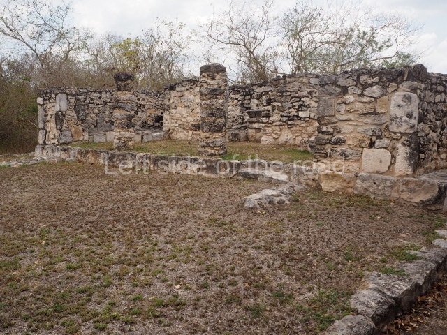
Situated south of the Round Temple, the platform has a five-step stairway with finial blocks and an altar in the middle. The hall contains pilasters decorated with masks of the god Chaac, two rows of columns, two benches abutted to the walls and a shrine in the middle.

Fresco hall

This adjoins the lower sections of the east side of the Castillo. The building has columns on three of its sides and pilasters at the north-east and south-east corners; in the middle is an L-shaped wall with a bench on the north side and an altar in the middle. There are traces of paint on the central wall. The scene consists of red and yellow marks which frame richly attired figures in profile, painted red and yellow on a blue background. The figures hold a circular banner with representations of sun disks.
Hall of the kings

In this building the columns rise from an artificial platform at the south-west corner of the Central Plaza. There is a central wall with an intermedial entrance, a bench with moulding and pilasters at the corners. The excavations uncovered the stucco faces of the important personages that decorated the columns.

Temple of the Chen Mul cenote

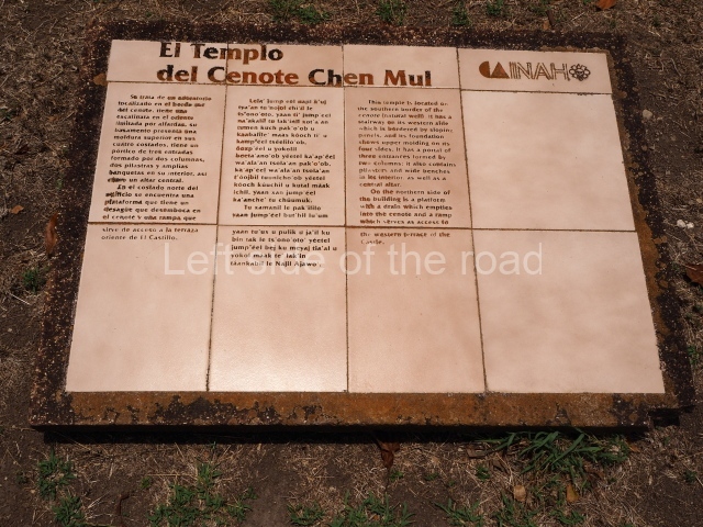
Situated on the south bank of the cenote, this oratory displays a balustraded stairway and moulding along the top of the platform. The temple is fronted by a portico with three entrances formed by two columns, two pilasters, benches and an altar inside. On the north side of the building there is a sloping platform for rainwater to drain into the Chen Mul Cenote and a ramp leading to the Castillo terrace.

Temple of the warriors

Situated on the west side of the North-East Plaza, this is a two-tier platform with a temple at the top with three entrances and a shrine and altar inside. It is accessed via a balustraded stairway which culminates in finial blocks and serpent heads.

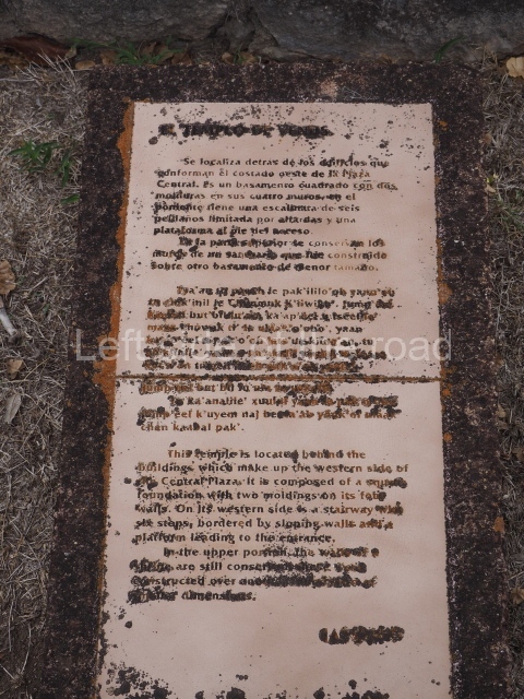
Temple of Venus

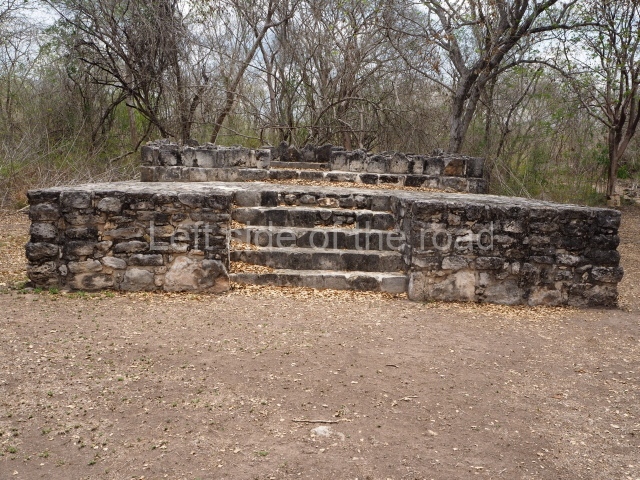
This is situated in the West Plaza of Mayapan. It takes the form of a square platform with two mouldings; there is a balustraded stairway and a shrine at the top.

Ceramics

Mayapan contains a wide variety of types and forms of ceramics. The most interesting are the effigy incense burners, which denote different decorative techniques to personify the gods. The pottery comprises finely made polychrome vessels as well as coarse monochrome pots for domestic use.

Importance and relations

This great Maya capital established in the second half of the 13th century was the most important centre of the Maya civilisation during the Postclassic period (AD 1050-1450), exercising its domain over the provinces in the north-west and centre-north part of the Yucatan Peninsula until just before the Spaniards reached the continent. The magnificence of the city is manifested in the grand and densely concentrated buildings. The architectural characteristics denote the strong influence of Chichen Itza. The main building at Mayapan, known as the Castle of Kukulcan, is a smaller version of the Castillo pyramid at Chichen Itza. Roys suggests that the Mayapan government was in some way associated with the island of Cozumel and Champoton. There is another walled site in the Chetumal region that existed at the same time as Mayapan, called Ichpaatun.

Carlos Peraza Lope

From: ‘The Maya: an architectural and landscape guide’, produced jointly by the Junta de Andulacia and the Universidad Autonoma de Mexico, 2010, pp 412-417.

Mayapan

Mayapan

1. Castle of Kukulcan; 2. Round Temple; 3. Temple of the Painted Niches; 4. Hall of the Masks; 5. Fresco Hall; 6. Hall of the Kings; 7. Temple of the Warriors; 8. Temple of Venus.

Getting there:

Bus station on Calle 50, near corner of Calle 67 in Merida. Buses leave 05.30, 07.30. 09.30. Drops you at slip road to site. M$30.

GPS:

20d 37′ 56″ N

85d 27′ 32″ W

Entrance:

M$70

More on the Maya