Kohunlich – Quintana Roo – Mexico

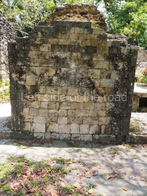
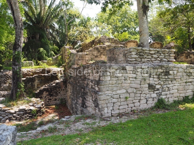
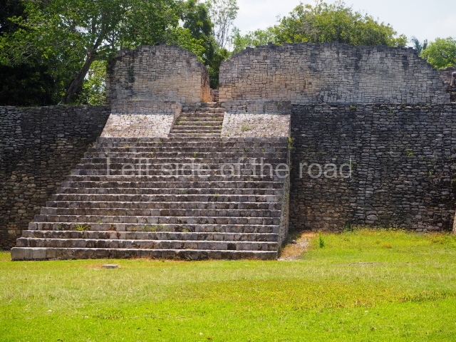
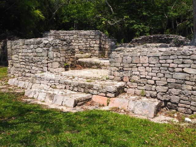
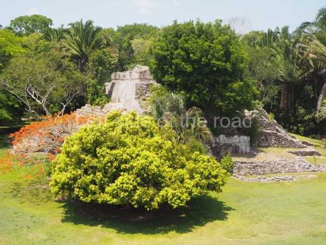
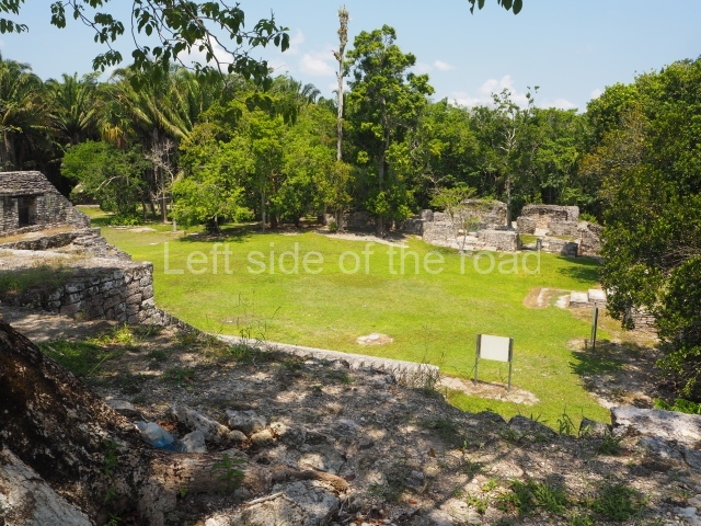
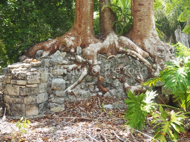
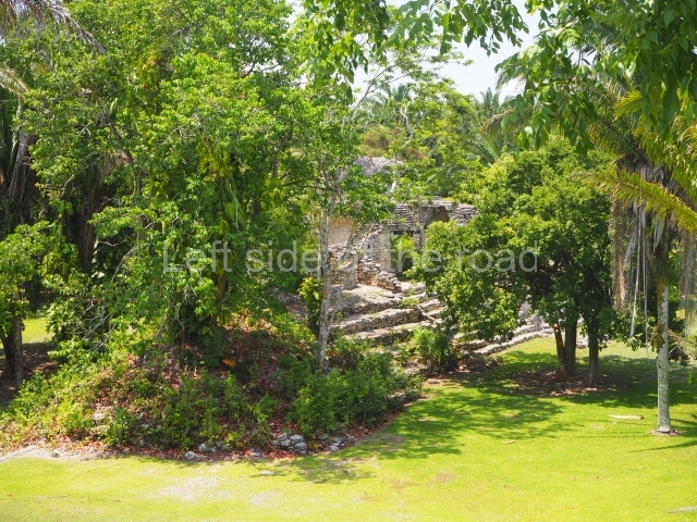
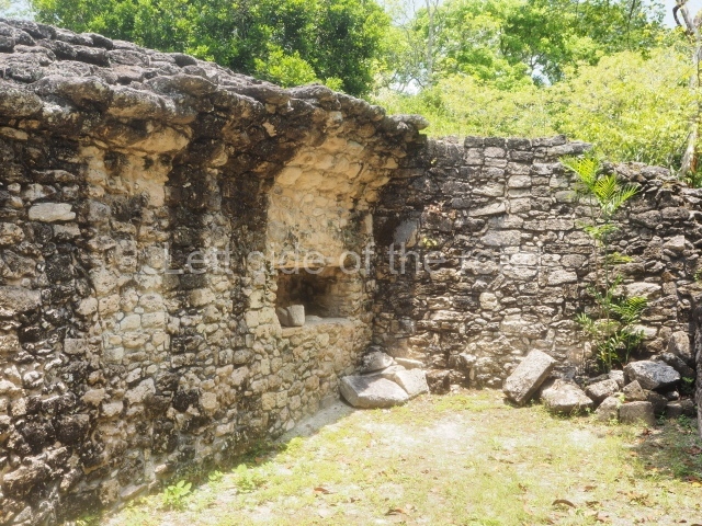
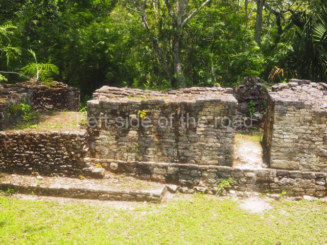
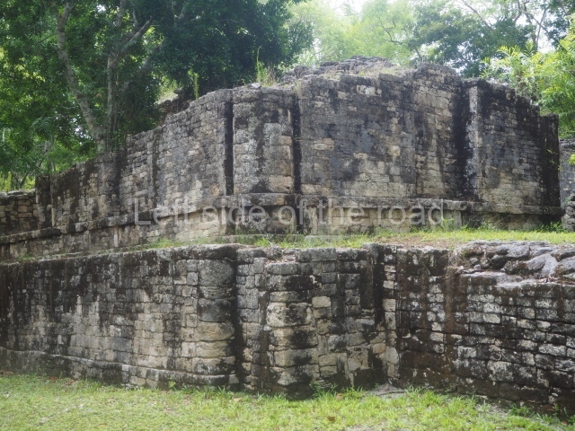
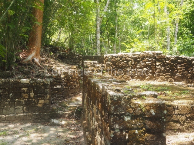
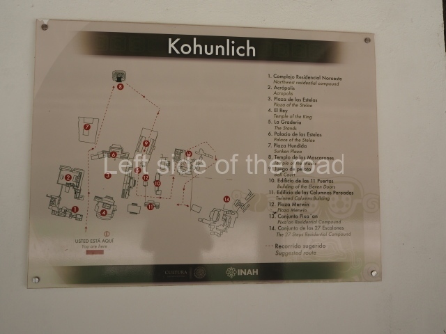
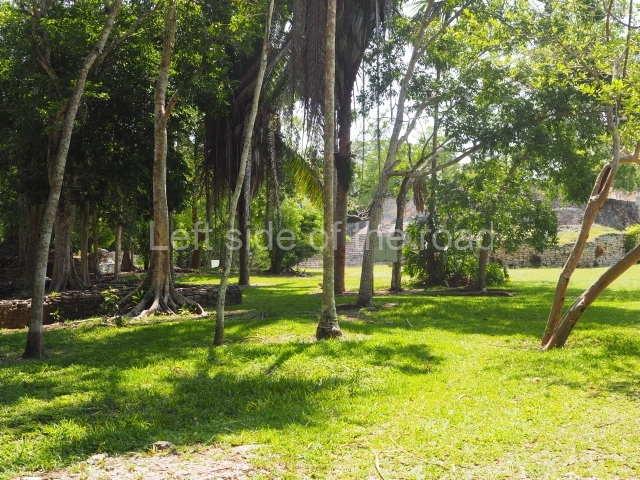
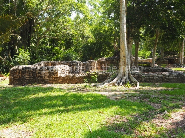
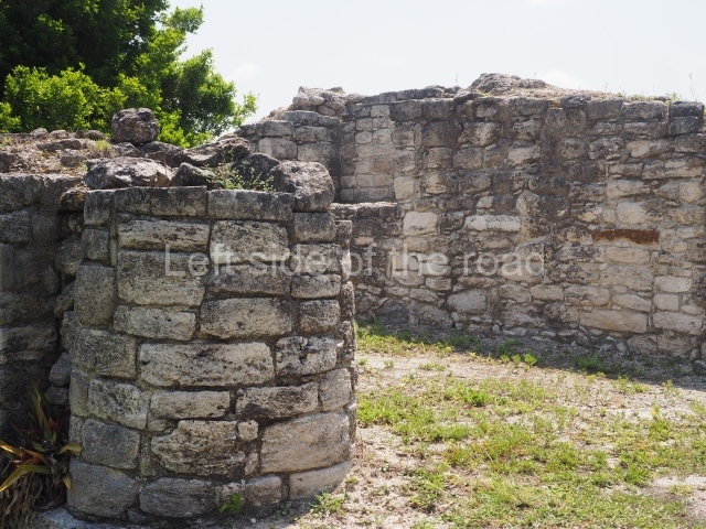
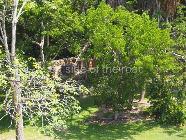
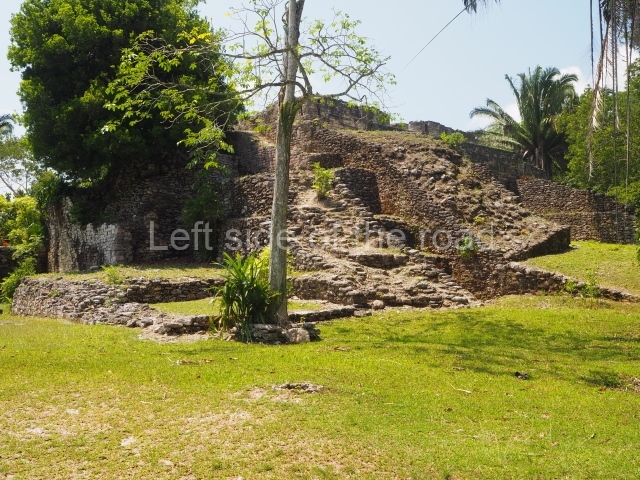
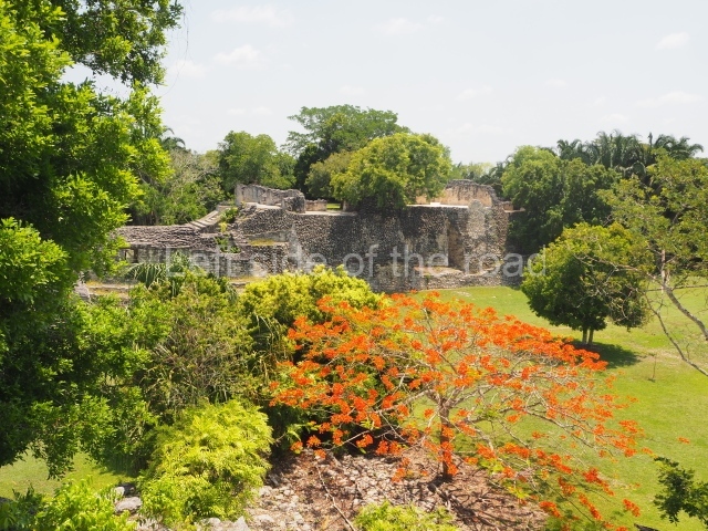
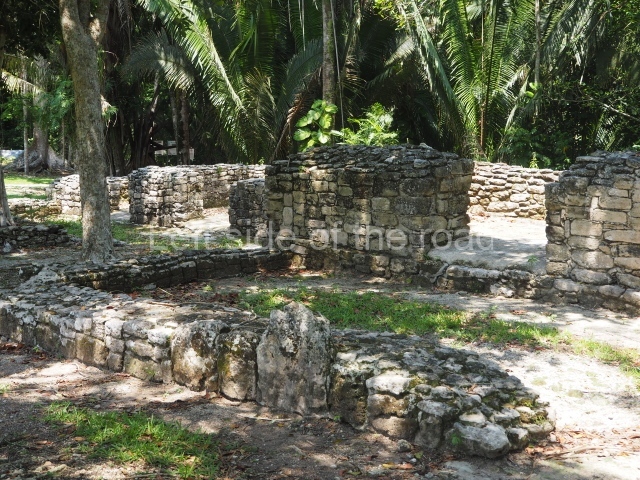
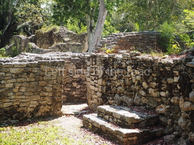
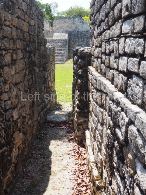
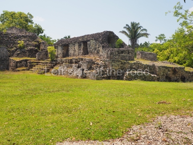
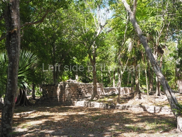
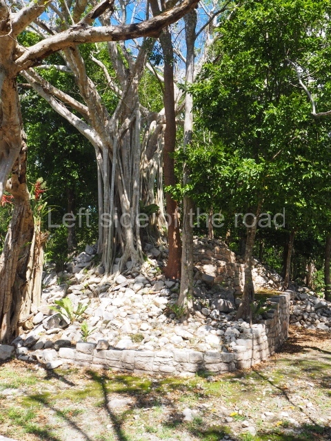
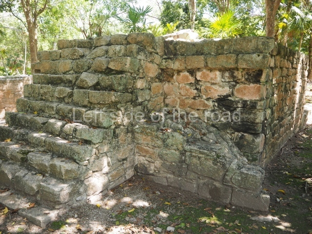
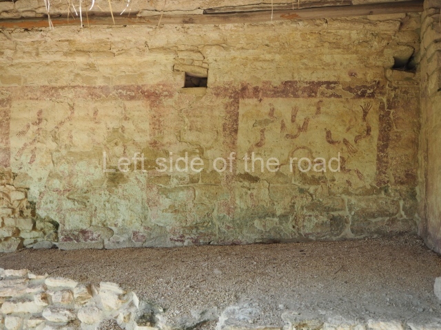
Kohunlich Location The site is situated 70 km west of Chetumal. Take Federal Road 186 and when you reach the village of Francisco Villa there is a turn-off to the south (10 km) which leads to the archaeological site. The pre-Hispanic city occupies a flat area and the adjacent hills with patches of medium-height rainforest and groups of corozo palms. Situated in a low area north-east of the settlement is an aguada approximately 50 m in diameter which provides water all year round and was fundamental for the ancient inhabitants. The name of the pre-Hispanic site is a corruption of the English words 'cohune' (corozo palm) and 'ridge'. It appears to have been coined in the mid-20th century by Yucatec Maya speakers who had difficulty pronouncing the 'r' sound. Timeline and site description The archaeological explorations indicate that the site was first occupied around the 5th century BC. It continued to grow during the Early Classic (AD 250-600), reached its peak in the Late Classic (AD 600-900) and was abandoned around AD 1100. The tour of the site can take several hours if you want to explore the excavated spaces in detail. The best-known buildings are situated in the core area of the settlement: the Pyramid of the Masks, the Ball Court and the Acropolis are perhaps the most interesting, but the Pixaan, 27 Steps and Yaxna groups are also worth seeing. Pyramid of masks. This construction in the Peten style adopts the form of a four-tier platform with a temple at the top comprising five very narrow rooms. The corners are rounded and it has a single stairway, on the west side, flanked by stucco masks. The faces symbolise the sun god at various points of its passage across the firmament. The construction is approximately 25 m long and 20 m wide, and stands nearly 11 m high, not including the guano palm roof that protects the stucco pieces. During the second half of the 20th century the masks were illustrated as symbols of Quintana Roo. Pixaan group. This is situated some 200 m southwest of the Pyramid of Masks on a natural mound. It comprises several constructions, the most imposing of which is the one that is located north of the group and faces south. It is accessed via a wide terrace and had four generous-sized rooms, revealing its former importance. To the west and south lie other constructions, also with several rooms but this time of smaller proportions. Most of the constructions display features typical of the Rio Bee style. 27 steps group. This is reached by following the path situated south-west of the Pixaan Group. It was thus called because of the various flights of steps leading to the group of buildings at the top of the hill. In this upper section there is a rectangular courtyard surrounded by several masonry buildings with rooms of a residential nature. The deliberate east-west orientation of the courtyard is plain to see, as well as the arrangement of the works on several levels in relation to the latter. Situated south-east of the main group are various other constructions also near the top of the hill. Ball court. This is situated north of the Pixaan Group. Oriented east-west, the court is approximately 60 m long and just over 10 m wide. Like the majority of the constructions on the site, the walls are clad with regular-shaped limestone veneer stones. No stone ring or any other fragments have been found. Merwin plaza. This rectangular space west of the Ball Court is surrounded by four elongated buildings. The west construction is fronted by pairs of columns, providing access to the interior, and the constructions on the north and south sides also had several entrances formed by pilasters. At the centre of the plaza lies a quadrangular platform. Temple of the stelae. This monumental space is situated north of Merwin Plaza. It takes its name from the various monoliths that can be seen on the east stairway. Its principal axis runs north-south and it had several rooms accessed from the east and west. A masonry roof comb displays six stucco figures seated on a type of throne that adopts the form of a giant mask of the Earth Monster or Sacred Mountain. The figures may have represented rulers of Kohunlich. Acropolis. This is an irregular quadrangle (60x45 m) with a single access on the west side and an average height of 10 m, the result of several construction phases. Parts of towers with steep non-functional stairways typical of Rio Bee architecture have been recorded on the east and south sides. These were added in ancient times as fillings for the Acropolis. In the upper section is a large courtyard with several rooms on the south and west sides. The constructions in the south-west section seem to have been the latest additions, around AD 1000. Road group. Just west of Merwin Plaza are several platforms that have not yet been excavated, ranging in height from one to two metres. Together, they form three parallel roads or long corridors approximately 100 m in length. They are not unlike the 'avenues or roads' reported at Chacchoben, north of Bacalar, or those recorded at Chichmuul, 40 km further north. North-west group. This is situated west of the Acropolis and represents another set of rooms formerly covered by corbel vaults. Some of them have benches and many display various modifications. The majority were used for residential purposes. Yaxna plaza. This monumental space with its platforms and pyramids is situated some 600 m north-west of the previous group. Only a few of the buildings have been excavated. These comprise both residential and worship functions, dedicated to the memory of high-ranking officials. The ceramic materials of the offerings that have been found are from the Early Classic (AD 250-550). Importance and relations Kohunlich boasts major examples of Peten architecture as well as constructions that bear witness to the emergence of the Rio Bee style and its gradual transformation. It is therefore a key point for beginning to gain an understanding of the bygone societies south of the site, which were closely linked to those of northern Belize and south-eastern Campeche. Meanwhile, the analysis of the various types of housing and grave goods belonging to the different social classes will undoubtedly shed light on the composition and political integration of Kohunlich down through the ages. From: ‘The Maya: an architectural and landscape guide’, produced jointly by the Junta de Andulacia and the Universidad Autonoma de Mexico, 2010, pp346-347 How to get there: From Chetumal. From the combi station behind the Museum of Mayan Culture take the Nicolas Bravos bound combi and get off at Francisco Villa – about an hour. M$60. The turn off to the site is to the left of the direction of travel. Try and hitch or encourage someone to give you a lift on the back of their motorbike. Pay between M$50 and M$100. Once at the site ask if anyone can give you a life to the junction. That seems to be a M$50 standard. Entrance: Kohunlich

Kohunlich

More on the Maya

Kohunlich – Quintana Roo

Location

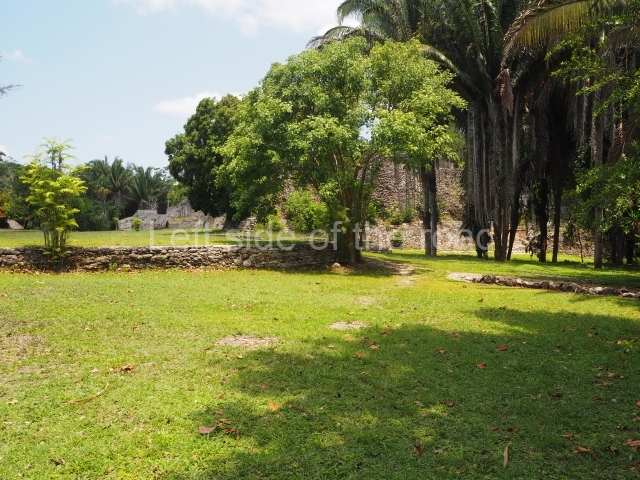
The site is situated 70 km west of Chetumal. Take Federal Road 186 and when you reach the village of Francisco Villa there is a turn-off to the south (10 km) which leads to the archaeological site. The pre-Hispanic city occupies a flat area and the adjacent hills with patches of medium-height rainforest and groups of corozo palms. Situated in a low area north-east of the settlement is an aguada approximately 50 m in diameter which provides water all year round and was fundamental for the ancient inhabitants. The name of the pre-Hispanic site is a corruption of the English words ‘cohune’ (corozo palm) and ‘ridge’. It appears to have been coined in the mid-20th century by Yucatec Maya speakers who had difficulty pronouncing the ‘r’ sound.

Timeline and site description

The archaeological explorations indicate that the site was first occupied around the 5th century BC. It continued to grow during the Early Classic (AD 250-600), reached its peak in the Late Classic (AD 600-900) and was abandoned around AD 1100. The tour of the site can take several hours if you want to explore the excavated spaces in detail. The best-known buildings are situated in the core area of the settlement: the Pyramid of the Masks, the Ball Court and the Acropolis are perhaps the most interesting, but the Pixaan, 27 Steps and Yaxna groups are also worth seeing.

Pyramid of masks.

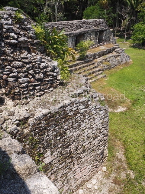
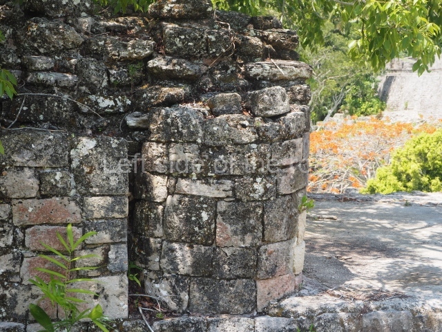
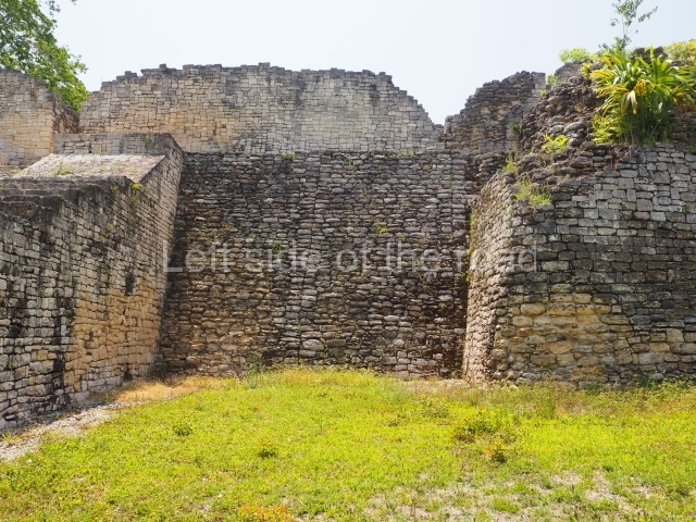
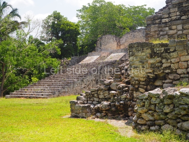
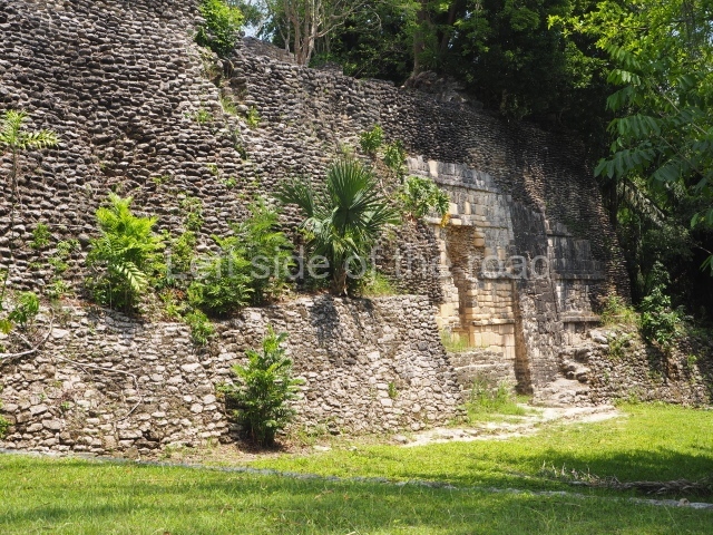
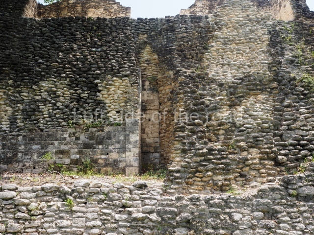
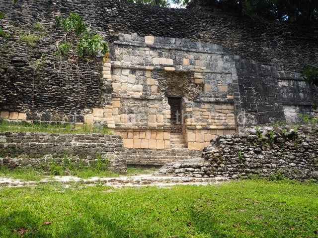
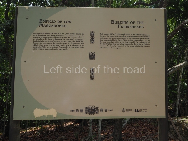
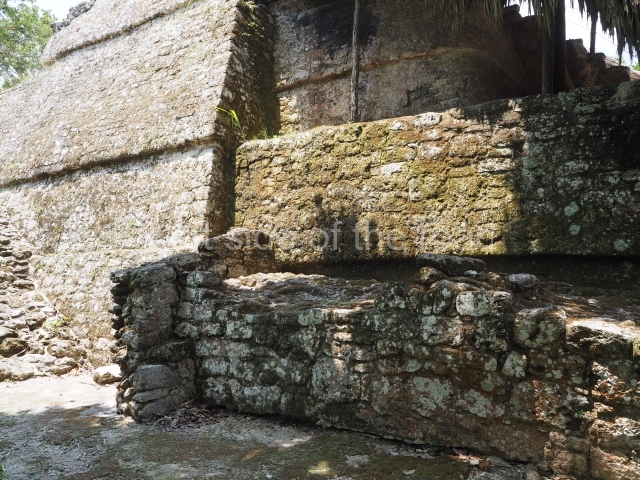
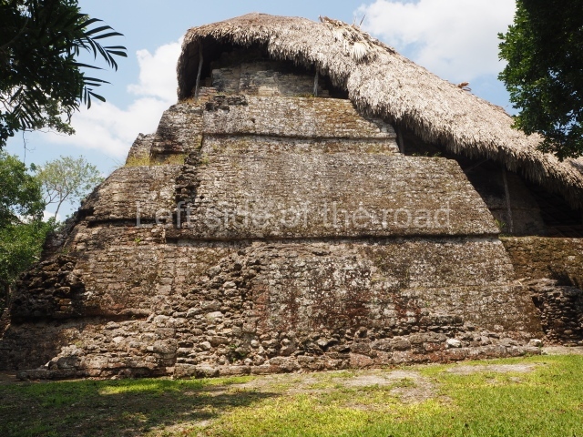
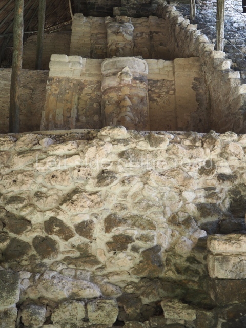
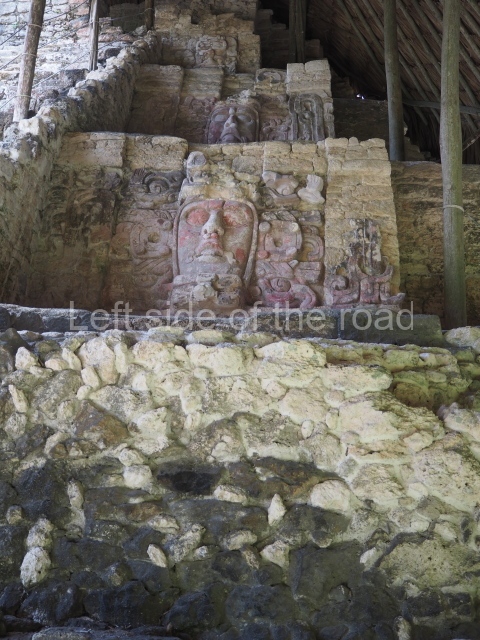
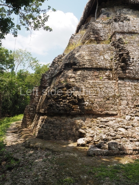
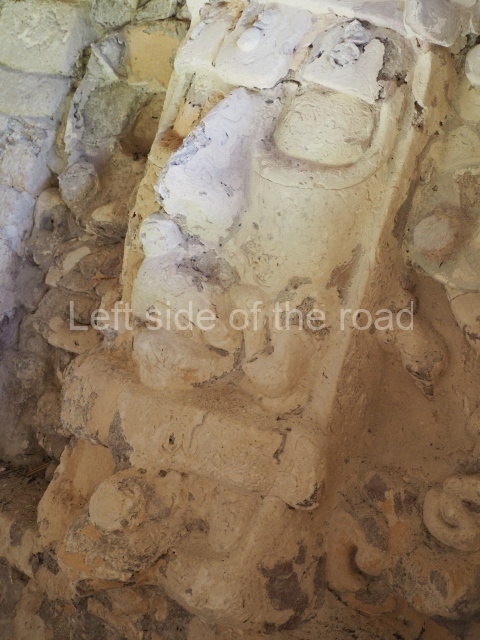
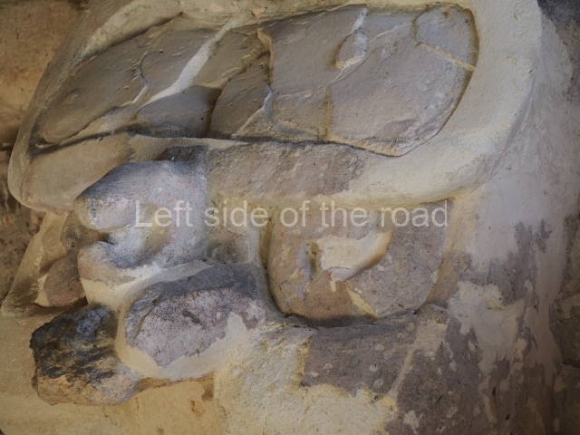
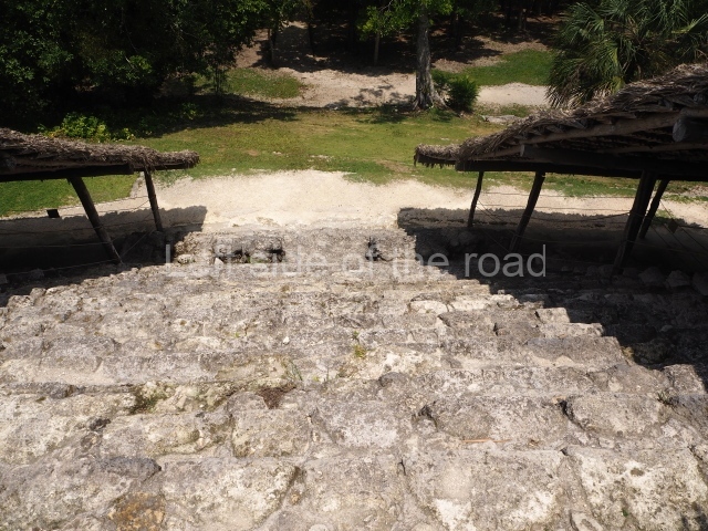
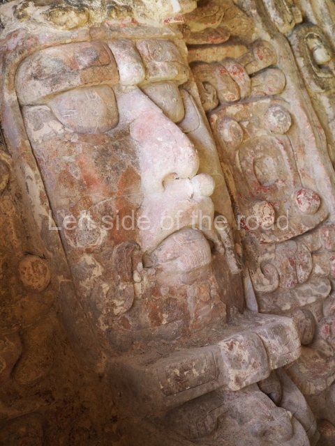
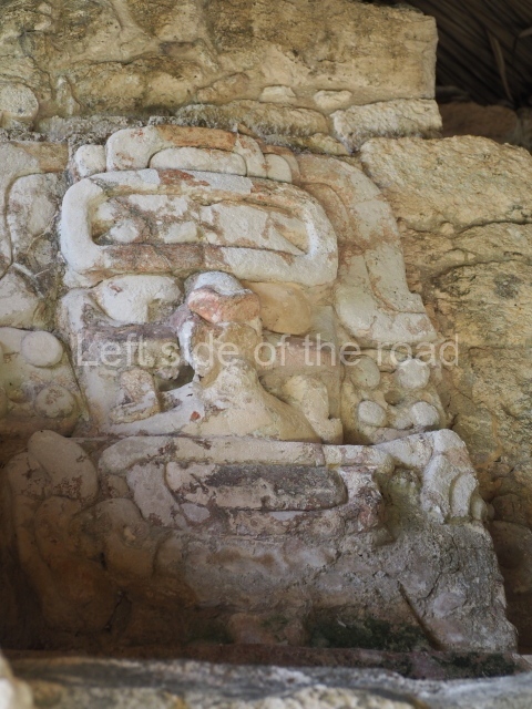
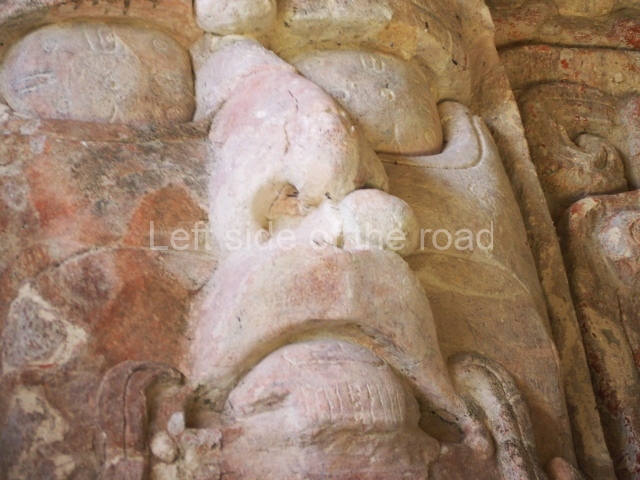
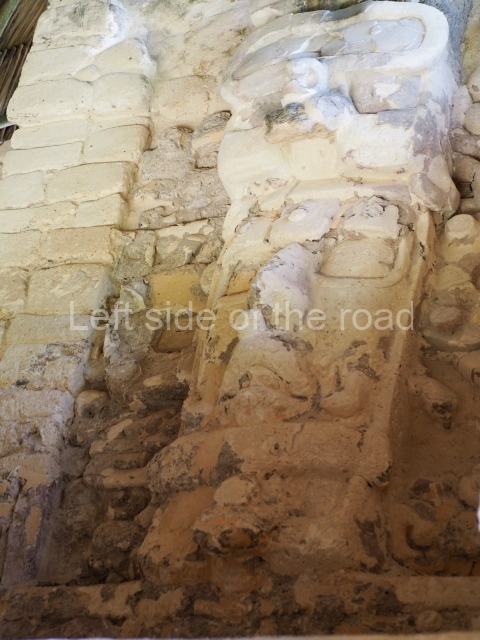
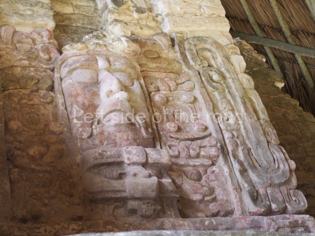
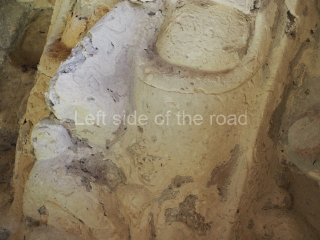
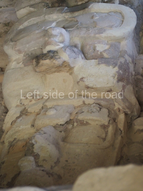
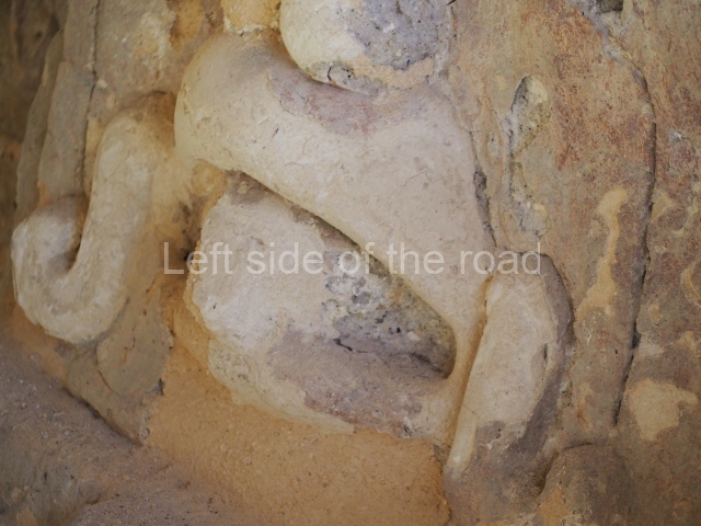
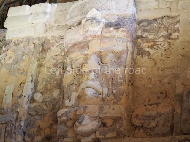
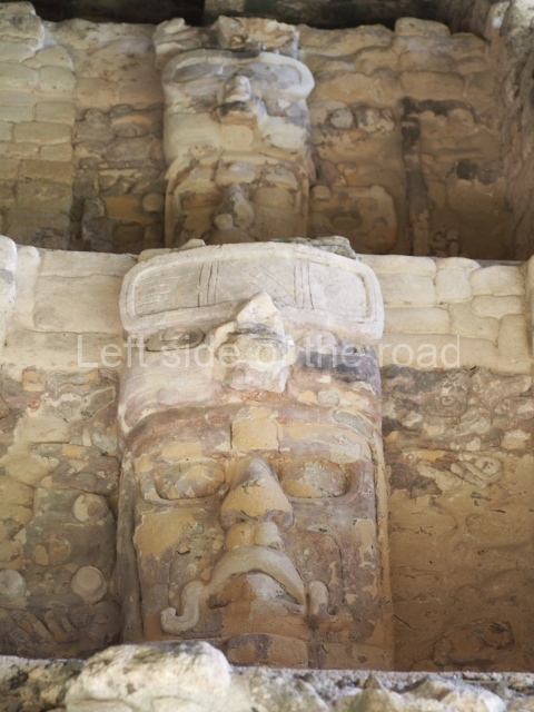
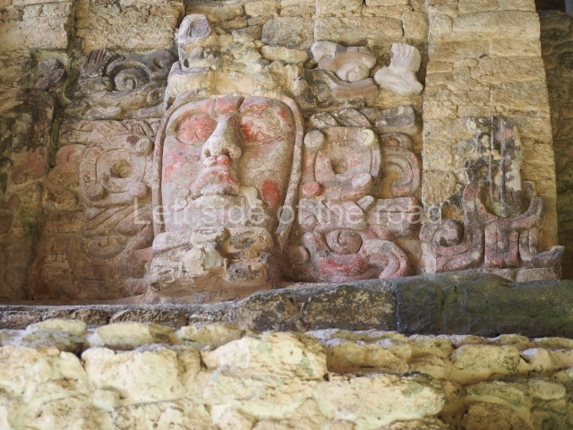
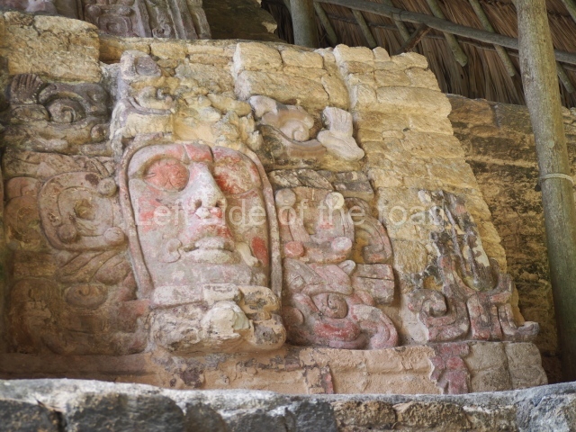
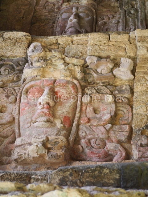
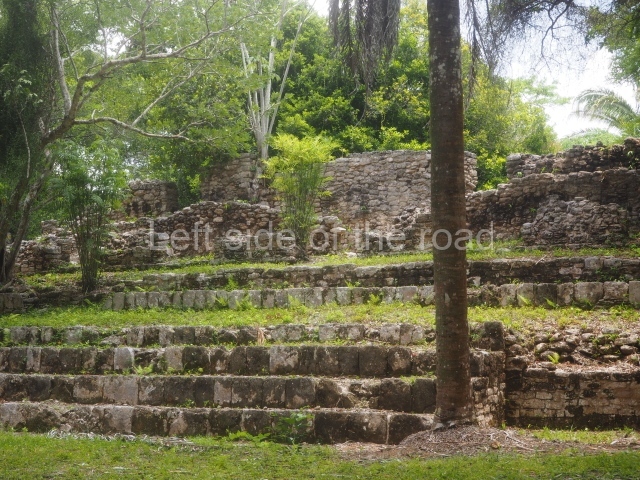
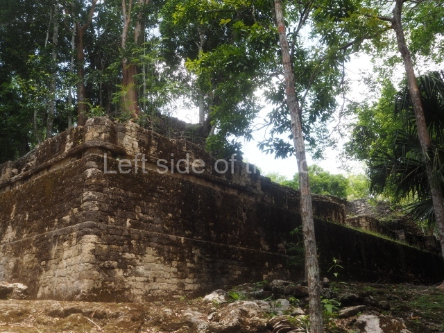
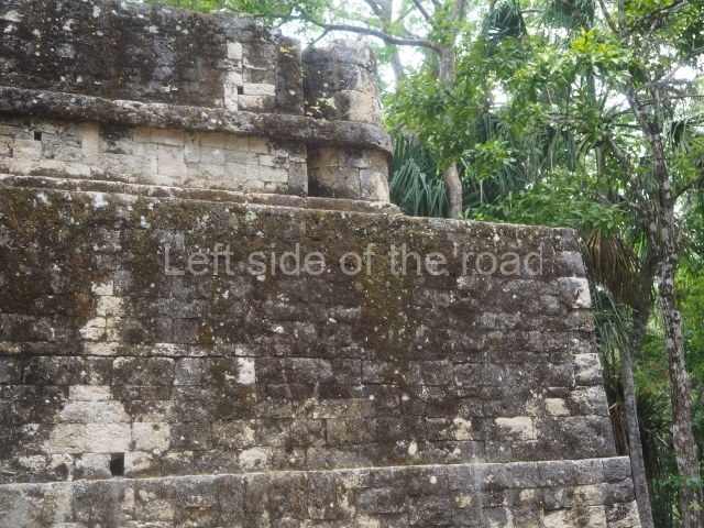
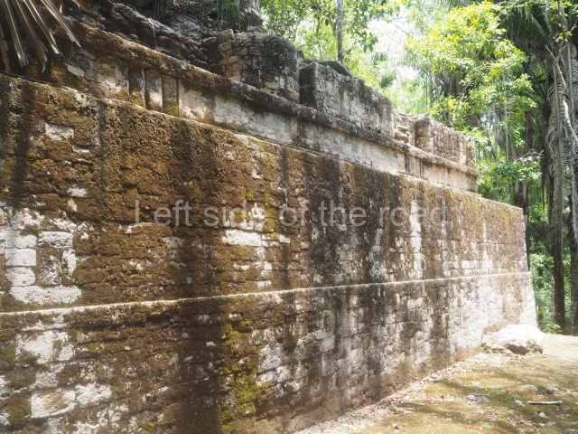
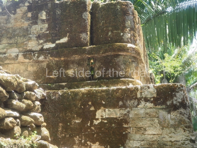
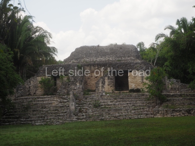
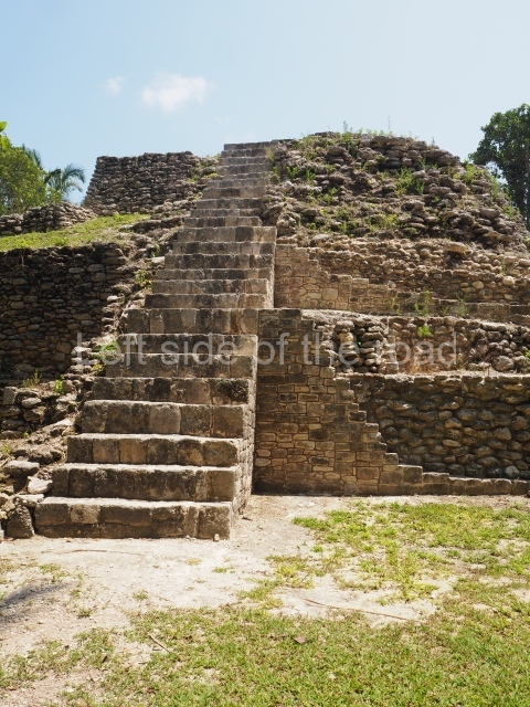
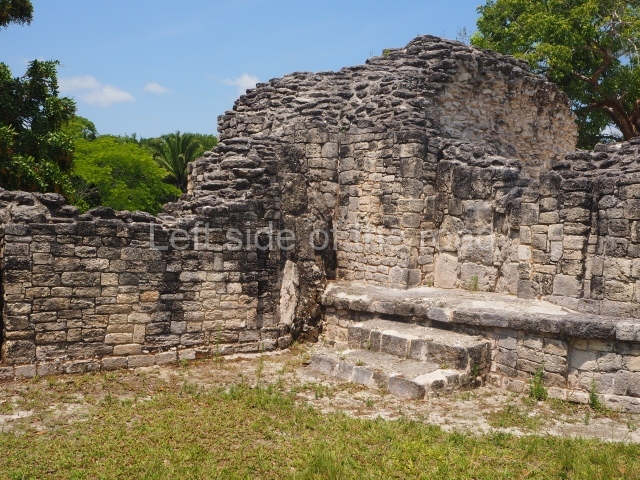
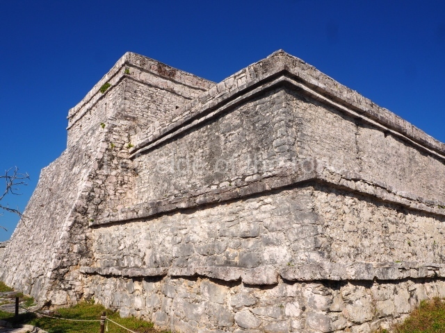
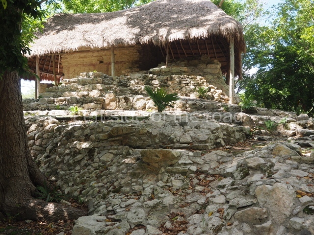
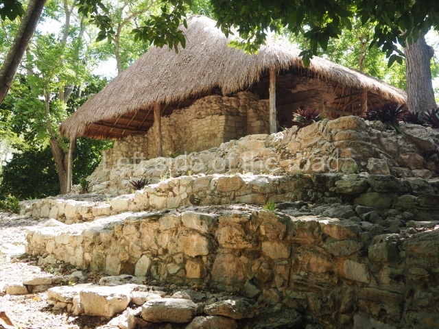
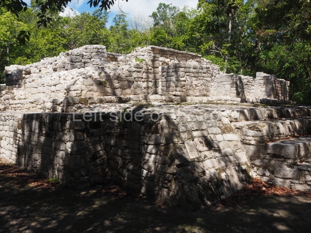
This construction in the Peten style adopts the form of a four-tier platform with a temple at the top comprising five very narrow rooms. The corners are rounded and it has a single stairway, on the west side, flanked by stucco masks. The faces symbolise the sun god at various points of its passage across the firmament. The construction is approximately 25 m long and 20 m wide, and stands nearly 11 m high, not including the guano palm roof that protects the stucco pieces. During the second half of the 20th century the masks were illustrated as symbols of Quintana Roo.

Pixaan group.

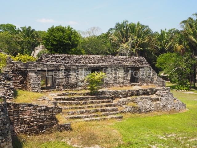
This is situated some 200 m southwest of the Pyramid of Masks on a natural mound. It comprises several constructions, the most imposing of which is the one that is located north of the group and faces south. It is accessed via a wide terrace and had four generous-sized rooms, revealing its former importance. To the west and south lie other constructions, also with several rooms but this time of smaller proportions. Most of the constructions display features typical of the Rio Bec style.

27 steps group.

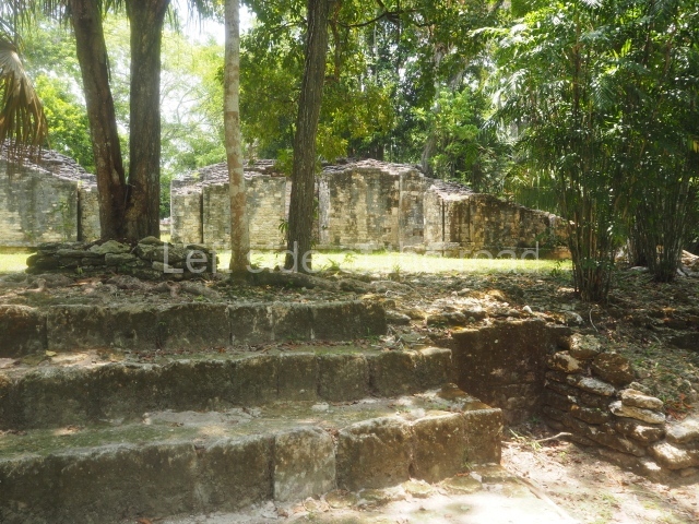
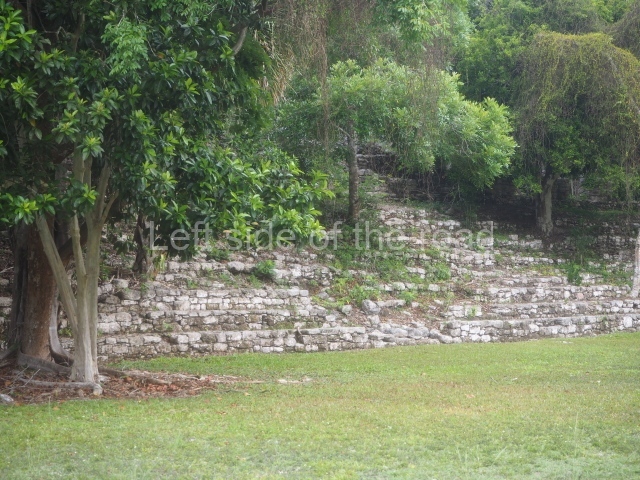
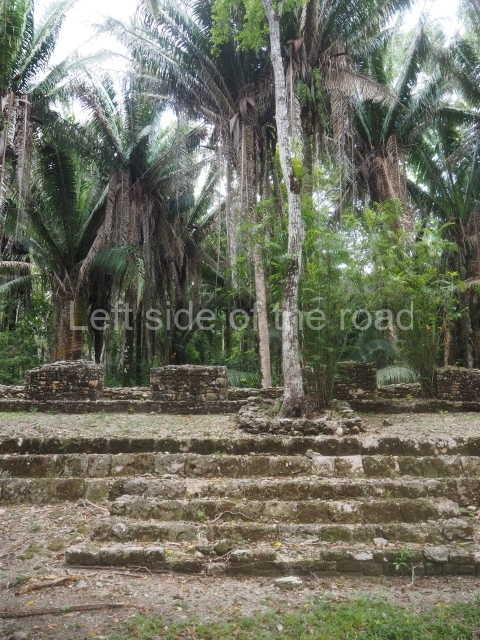
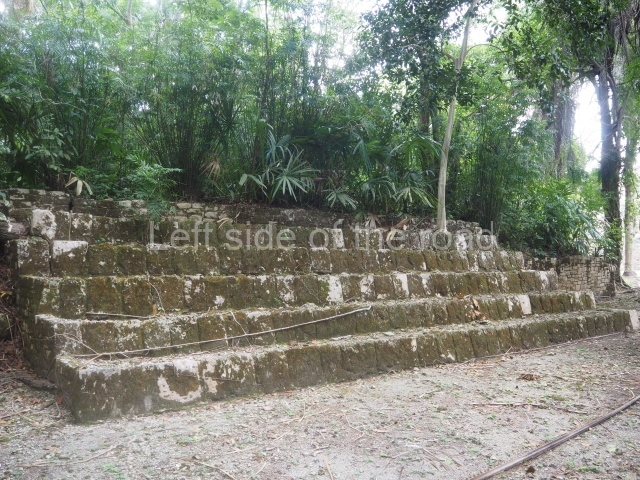
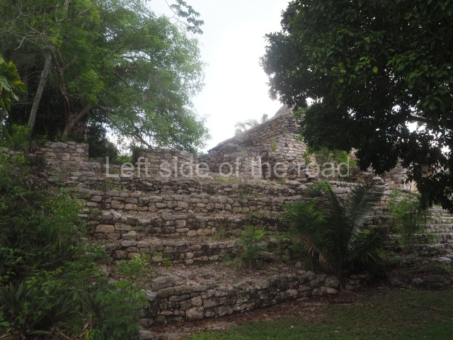
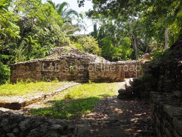
This is reached by following the path situated south-west of the Pixaan Group. It was thus called because of the various flights of steps leading to the group of buildings at the top of the hill. In this upper section there is a rectangular courtyard surrounded by several masonry buildings with rooms of a residential nature. The deliberate east-west orientation of the courtyard is plain to see, as well as the arrangement of the works on several levels in relation to the latter. Situated south-east of the main group are various other constructions also near the top of the hill.

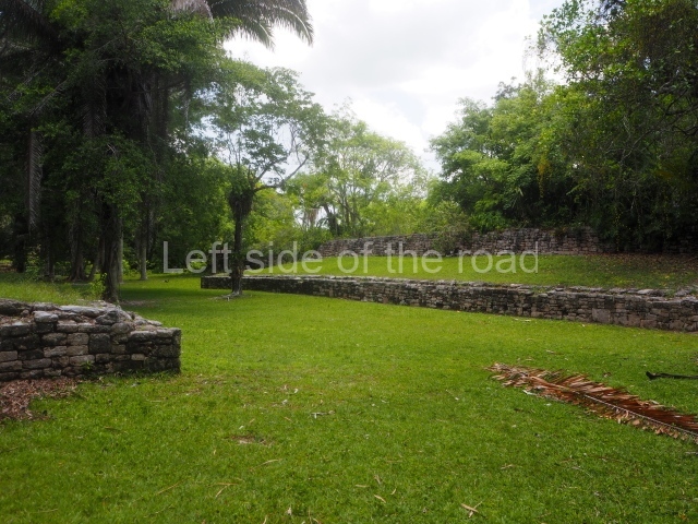
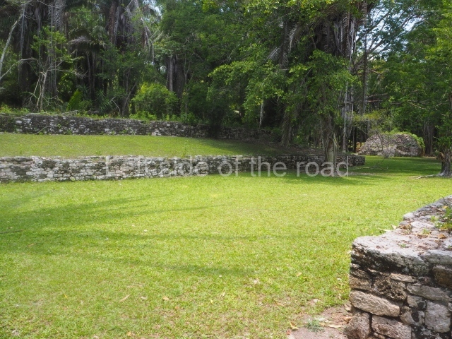
Ball court.

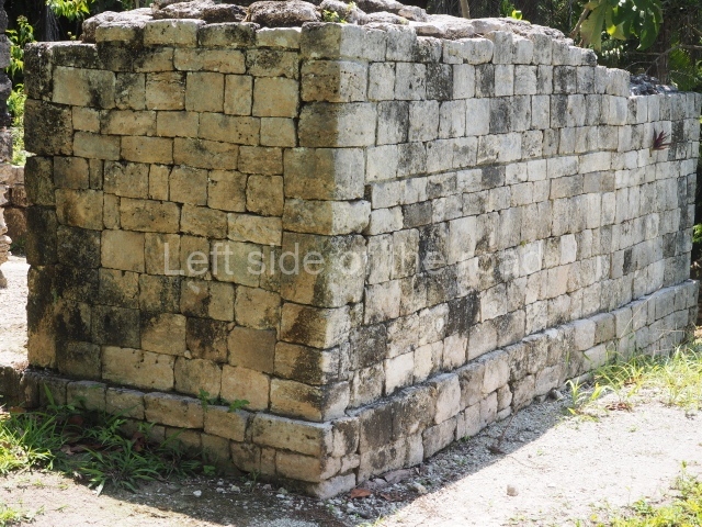
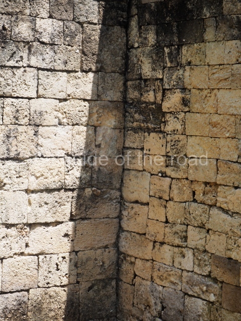
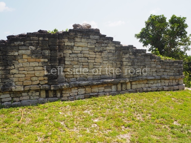
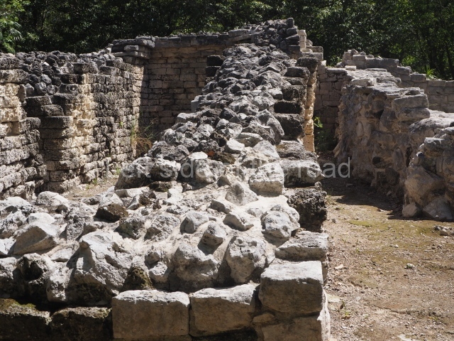
This is situated north of the Pixaan Group. Oriented east-west, the court is approximately 60 m long and just over 10 m wide. Like the majority of the constructions on the site, the walls are clad with regular-shaped limestone veneer stones. No stone ring or any other fragments have been found.

Merwin plaza.

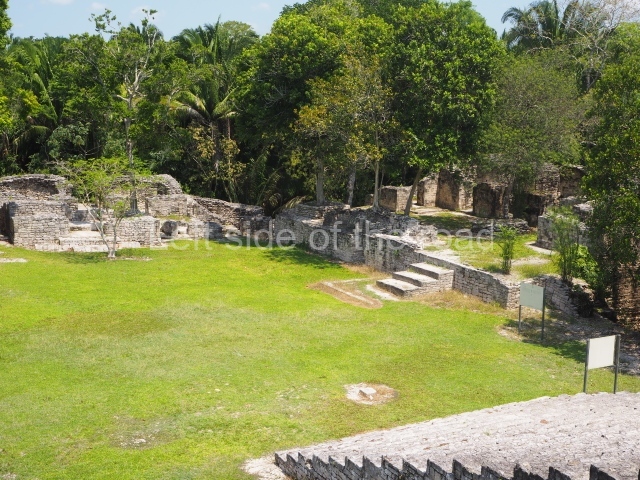
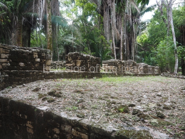
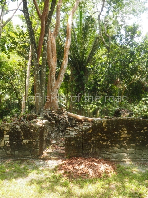
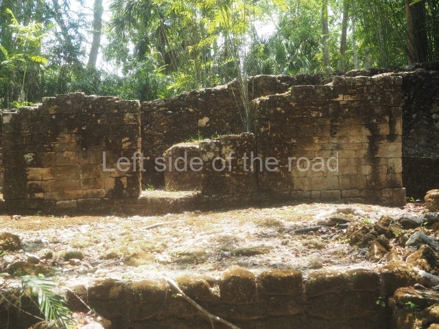
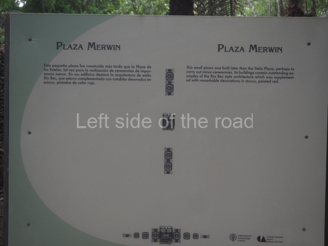
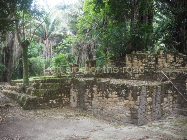
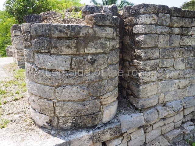
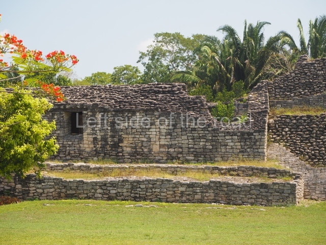
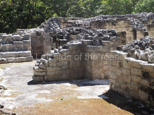
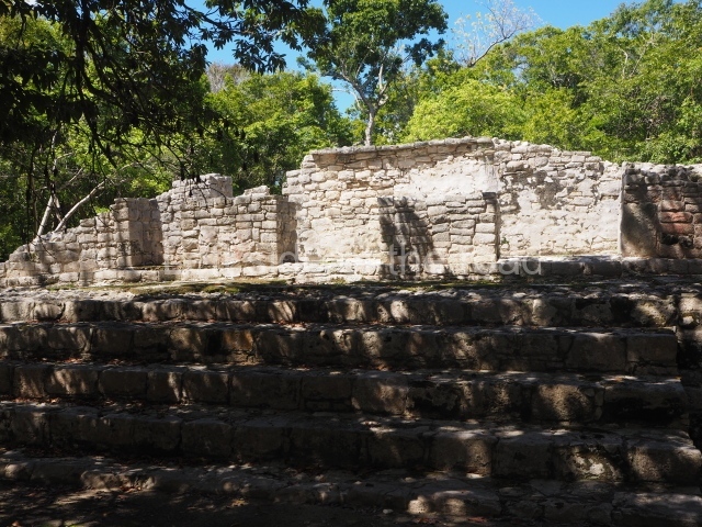
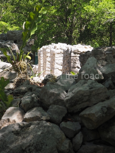
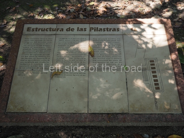
This rectangular space west of the Ball Court is surrounded by four elongated buildings. The west construction is fronted by pairs of columns, providing access to the interior, and the constructions on the north and south sides also had several entrances formed by pilasters. At the centre of the plaza lies a quadrangular platform.

Temple of the stelae.

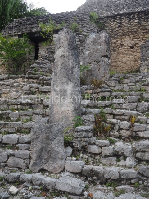
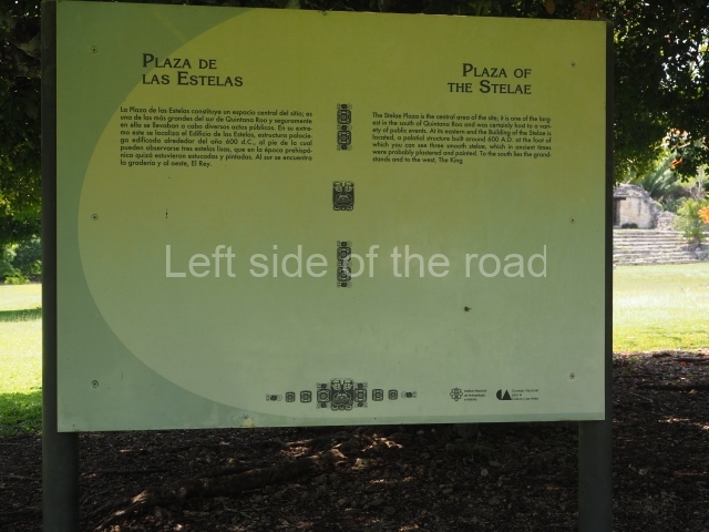
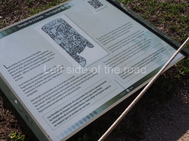
This monumental space is situated north of Merwin Plaza. It takes its name from the various monoliths that can be seen on the east stairway. Its principal axis runs north-south and it had several rooms accessed from the east and west. A masonry roof comb displays six stucco figures seated on a type of throne that adopts the form of a giant mask of the Earth Monster or Sacred Mountain. The figures may have represented rulers of Kohunlich.

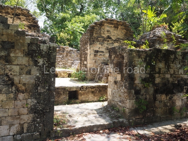
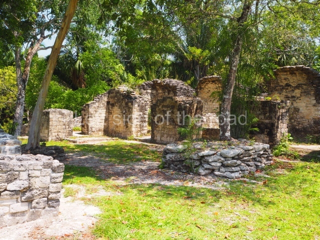
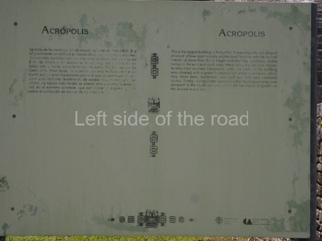
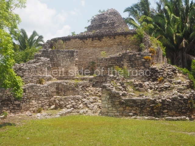
Acropolis.

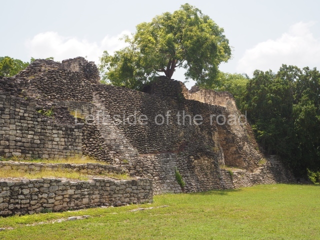
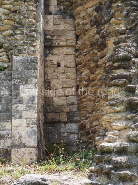
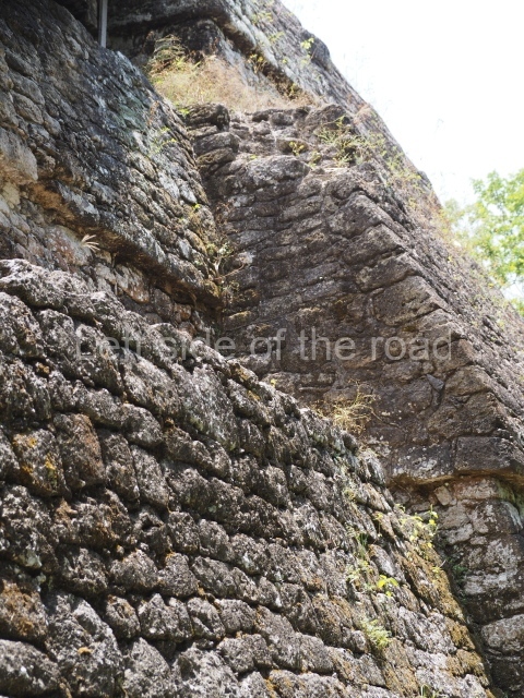
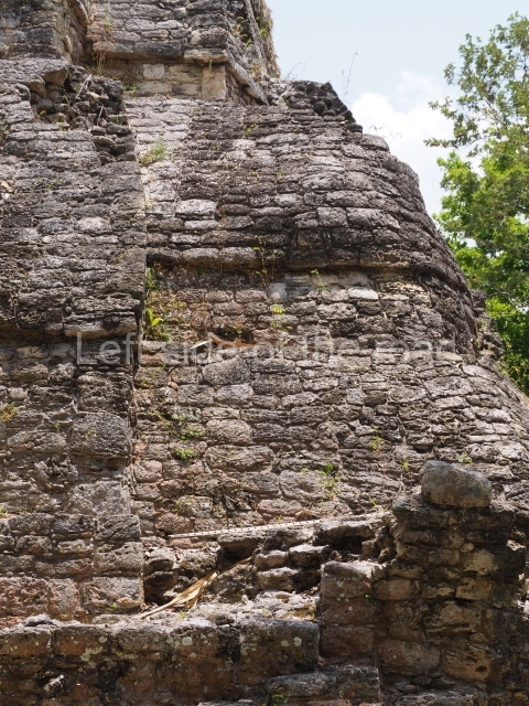
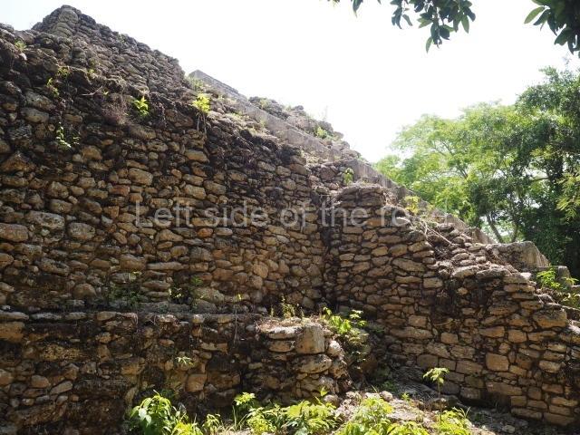
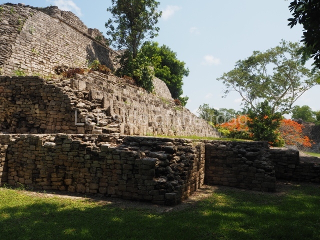
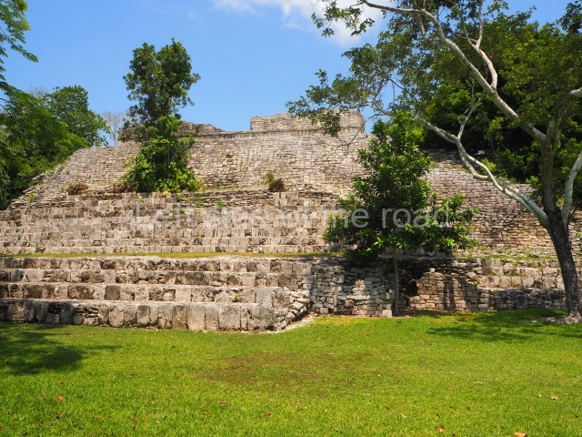
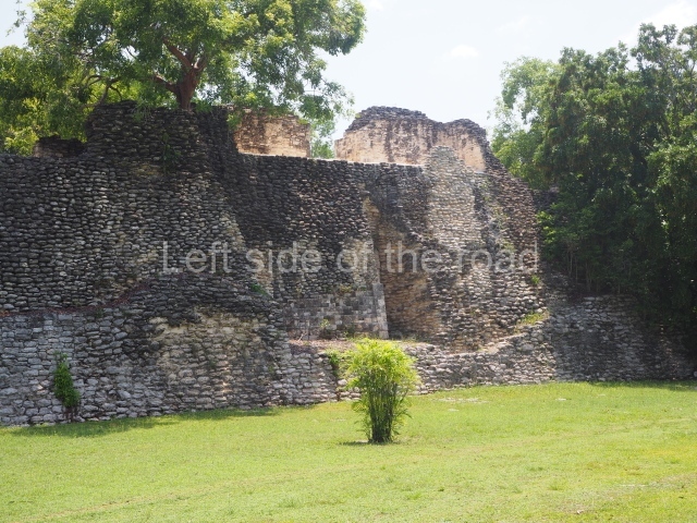
This is an irregular quadrangle (60×45 m) with a single access on the west side and an average height of 10 m, the result of several construction phases. Parts of towers with steep non-functional stairways typical of Rio Bec architecture have been recorded on the east and south sides. These were added in ancient times as fillings for the Acropolis. In the upper section is a large courtyard with several rooms on the south and west sides. The constructions in the south-west section seem to have been the latest additions, around AD 1000.

Road group.

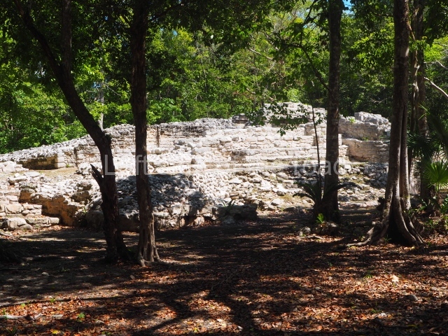
Just west of Merwin Plaza are several platforms that have not yet been excavated, ranging in height from one to two metres. Together, they form three parallel roads or long corridors approximately 100 m in length. They are not unlike the ‘avenues or roads’ reported at Chacchoben, north of Bacalar, or those recorded at Chichmuul, 40 km further north.

North-west group.

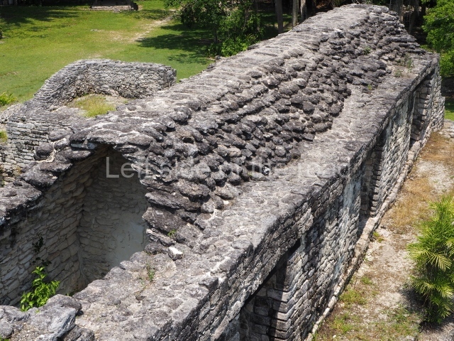
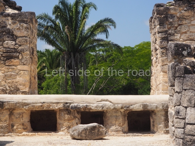
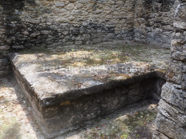
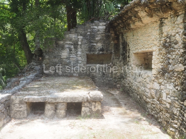
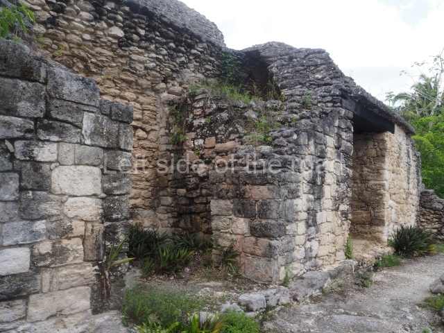
This is situated west of the Acropolis and represents another set of rooms formerly covered by corbel vaults. Some of them have benches and many display various modifications. The majority were used for residential purposes.

Yaxna plaza.

This monumental space with its platforms and pyramids is situated some 600 m north-west of the previous group. Only a few of the buildings have been excavated. These comprise both residential and worship functions, dedicated to the memory of high-ranking officials. The ceramic materials of the offerings that have been found are from the Early Classic (AD 250-550).

Importance and relations

Kohunlich boasts major examples of Peten architecture as well as constructions that bear witness to the emergence of the Rio Bec style and its gradual transformation. It is therefore a key point for beginning to gain an understanding of the bygone societies south of the site, which were closely linked to those of northern Belize and south-eastern Campeche. Meanwhile, the analysis of the various types of housing and grave goods belonging to the different social classes will undoubtedly shed light on the composition and political integration of Kohunlich down through the ages.

From: ‘The Maya: an architectural and landscape guide’, produced jointly by the Junta de Andulacia and the Universidad Autonoma de Mexico, 2010, pp346-347

How to get there:

From Chetumal. From the combi station behind the Museum of Mayan Culture take the Nicolas Bravos bound combi and get off at Francisco Villa – about an hour. M$60. The turn off to the site is to the left of the direction of travel. Try and hitch or encourage someone to give you a lift on the back of their motorbike. Pay between M$50 and M$100.

Once at the site ask if anyone can give you a life to the junction. That seems to be a M$50 standard.

GPS:

18d 25’ 09” N

88d 47’ 28” W

Entrance:

M$90

More on the Maya

Tulum – Quintana Roo – Mexico

Tulum Entrance:

Tulum

More on the Maya

Tulum – Quintana Roo

Location

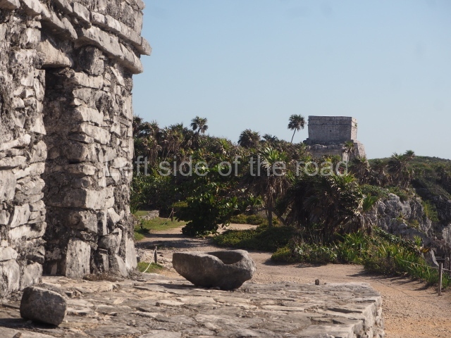
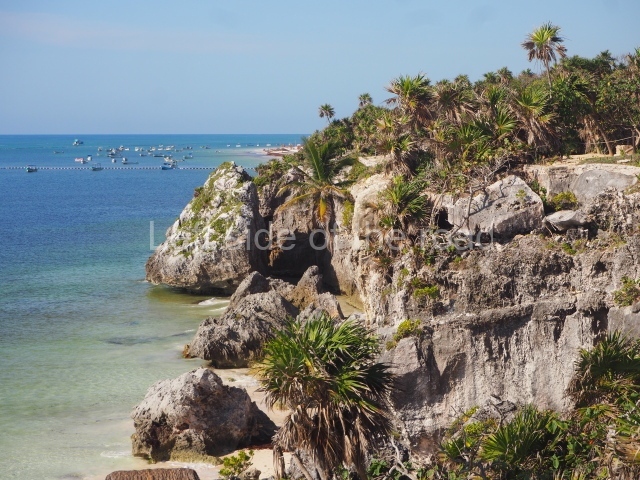
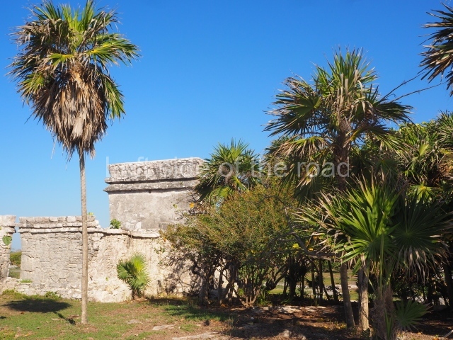
Built on a clifftop on the shores on the Caribbean Sea and surrounded by mangroves and sand dunes, Tulum is situated 131 km south of Cancun on federal road 307 between Puerto Juarez and Chetumal. Tulum was the name given to the city in 19th century and it means ‘wall’ or ‘palisade’, a reference to the defensive wall that surrounds it on three sides. According to 16th-century sources, the original pre-Hispanic name appears to have been Zama (‘dawn’).

History of the explorations

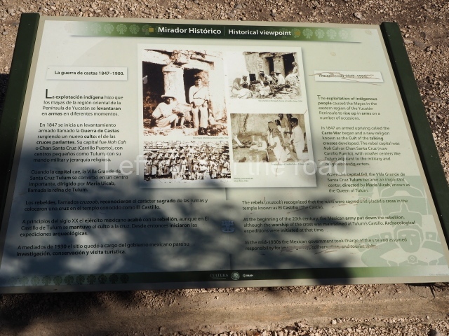
The first reference to Tulum was probably made by Juan Diaz, the chronicler of Juan de Grijalva’s expedition, as they sailed along the east coast of the Yucatan Peninsula in 1518. In his account, he recalls having seen a city as large as Seville. In 1579, in his Relaciones de Yucatan, Juan de Reigosa refers to Zama as a walled city in ruins. At the beginning of the Caste War in 1847, Tulum lay in rebel territory and by 1871 had become one of the sanctuaries for the worship of the ‘talking crosses’, with Maria Uicab as the main priestess.

Pre-Hispanic history

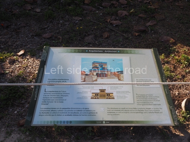
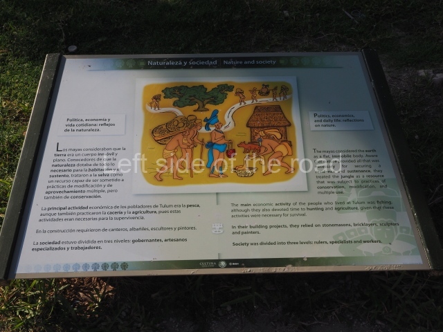
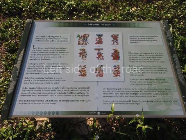
Tulum is the most representative site of the East Coast architectural style. Although it was built between AD 1200 and 1550, it contains elements such as Stela 1 (AD 564) and Structure 59 with architectural characteristics from the Classic era, which suggest an earlier occupation. Tulum is regarded as one of the principal Maya cities of the 13th and 14th centuries, during which time it was a key site on the trade route and a strategic location for exploiting the rich marine resources of the eastern Yucatan coast. Because of its strategic location, some researchers believe that during its peak Tulum must have been an important nexus between the maritime and terrestrial trade of the Yucatan Peninsula. It is also thought to have enjoyed political independence from other provinces until the arrival of the Spaniards and its subsequent abandonment in the 16th century. Some of the architectural characteristics observed at Tulum denote influences from other regions in both the Maya area and Mesoamerica. For example, there are reminiscences of Toltec elements like the ones found at Mayapan and Chichén Itzá, most notably the use of serpent columns. Similarly, although the style of the murals on the buildings has Maya iconographic elements, it is nevertheless very similar to the Mixteca codices from the central plateau.

Site description

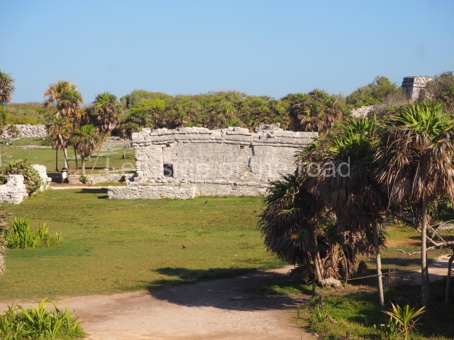
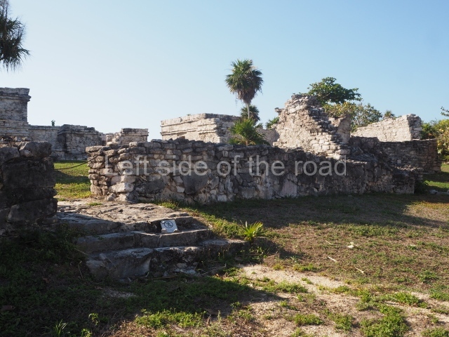
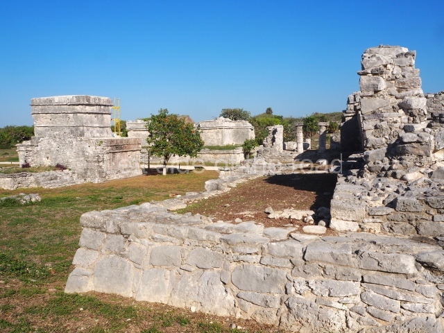
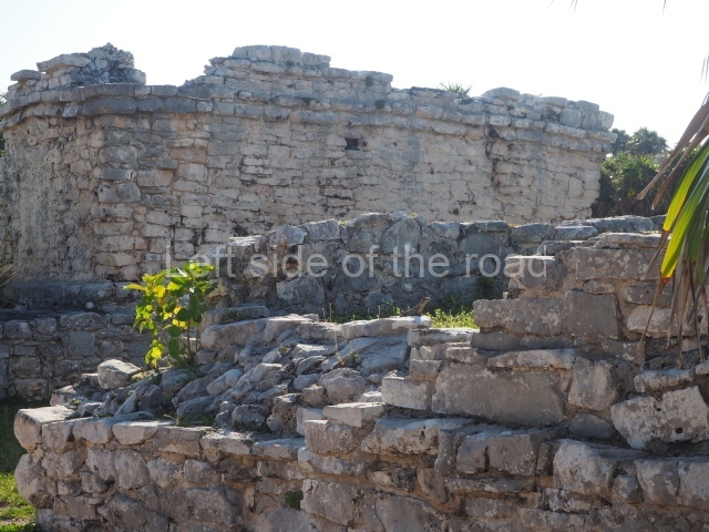
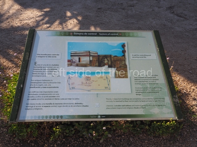
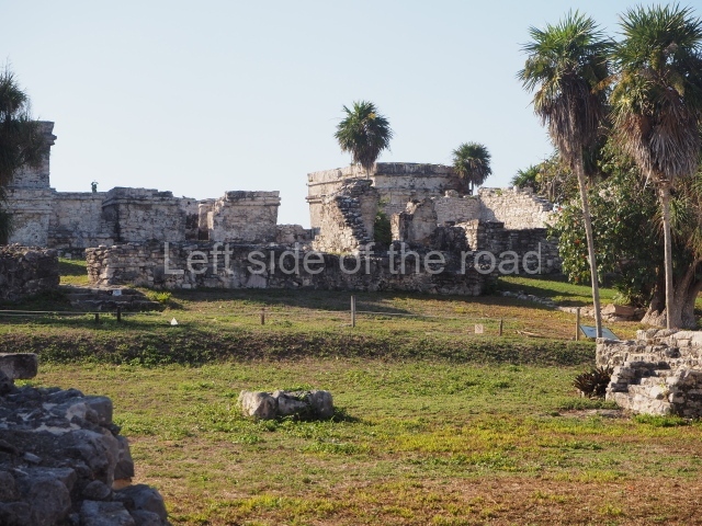
The ruins of the ancient city of Tulum are scattered on a band of some 6 km along the coast and include the core area as well as the simple wood and palm dwellings of the ordinary citizens. The core area is approximately 400 m long and 170 m wide, and is surrounded by a fortified wall on three sides; the fourth side is a cliff overlooking the sea, which provided natural protection. The walled enclosure displays a certain urban layout of its buildings and is crossed from north to south by a causeway. In addition to is defensive function, the fortified wall also turned Tulum into something of a sacred precinct with restricted access. This large wall may well have stood over 4 m high and its five vaulted gateways are still visible today: two on the north side, two on the south side and one in the middle. There are also two watchtowers at the north-west and south-west corners.

Interior precinct.

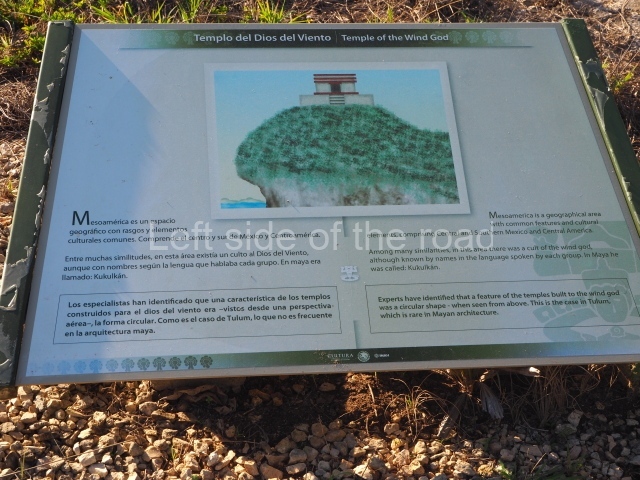
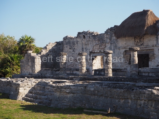
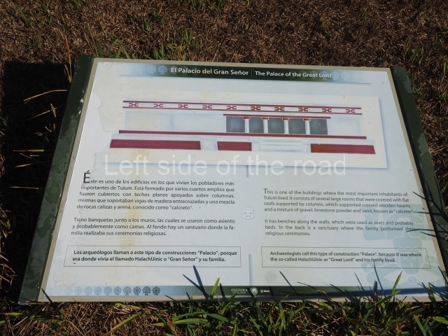
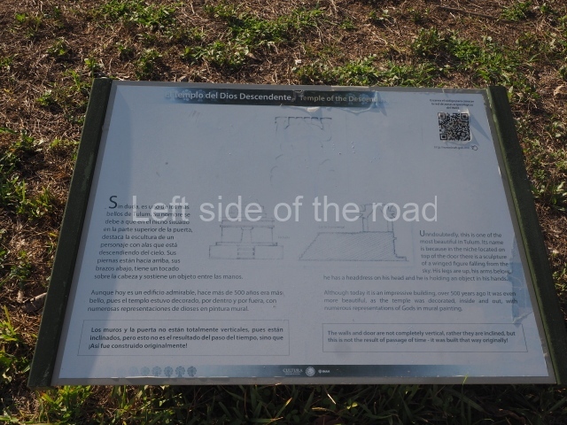
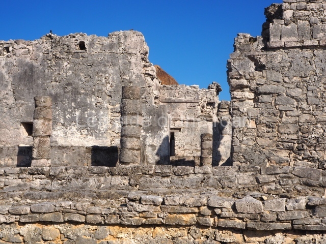
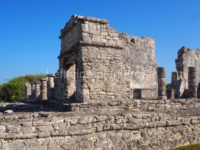
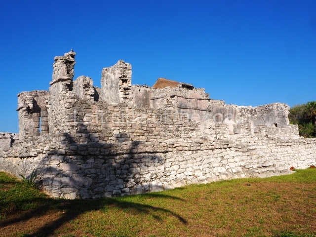
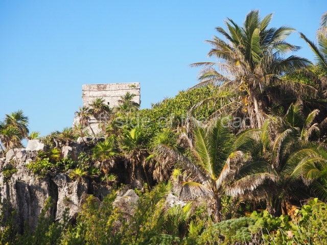
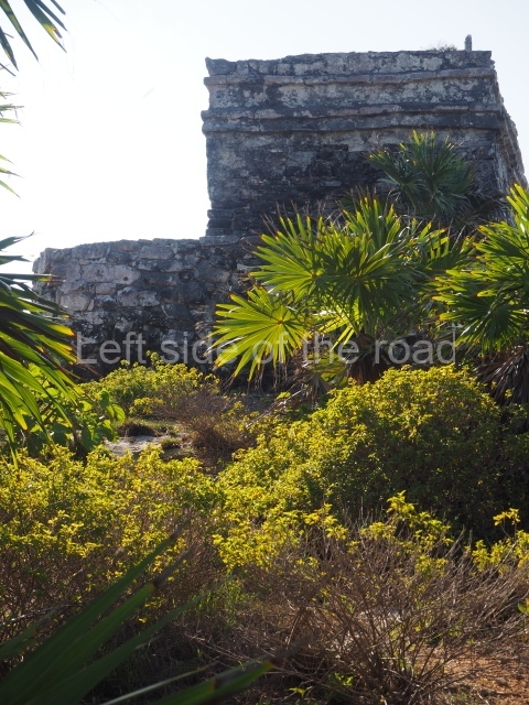
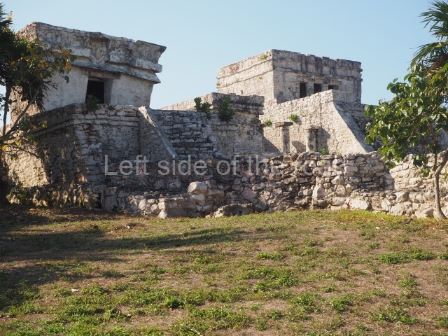
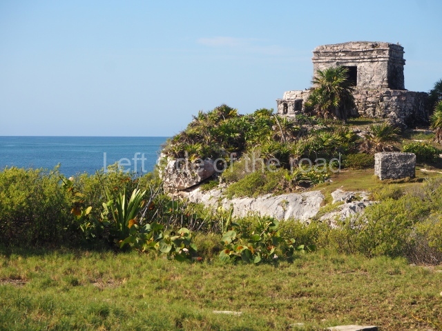
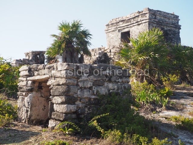
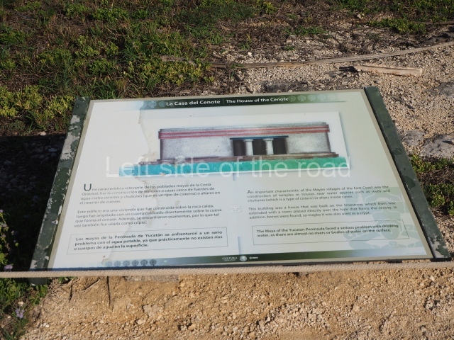
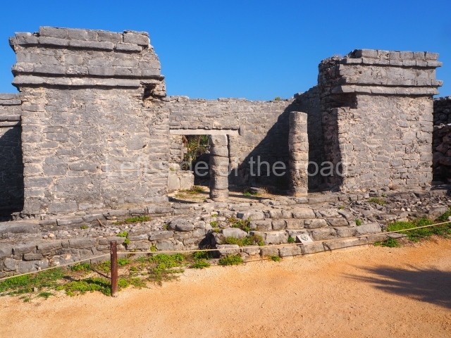
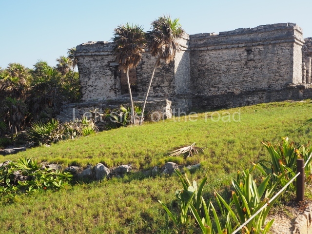
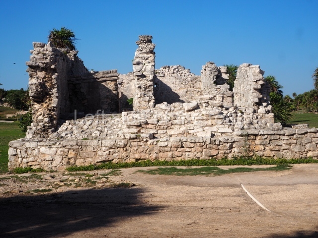
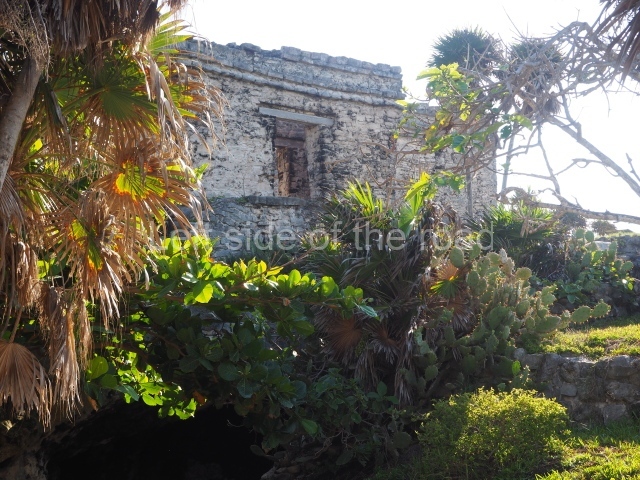
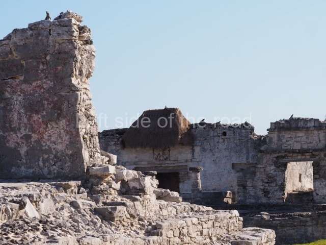
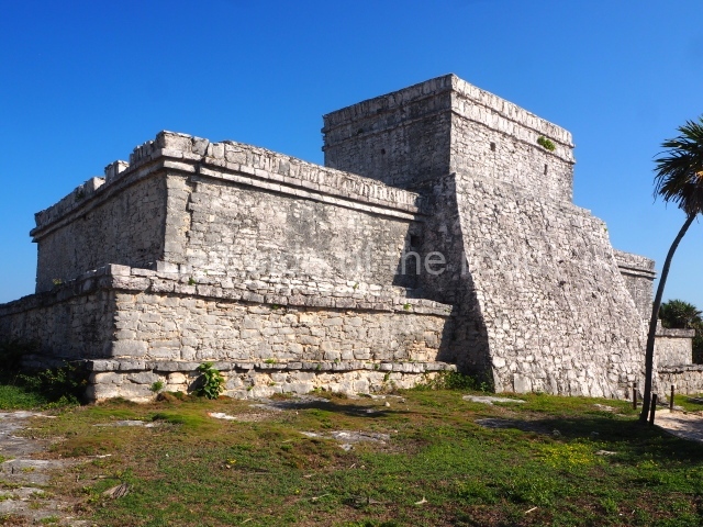
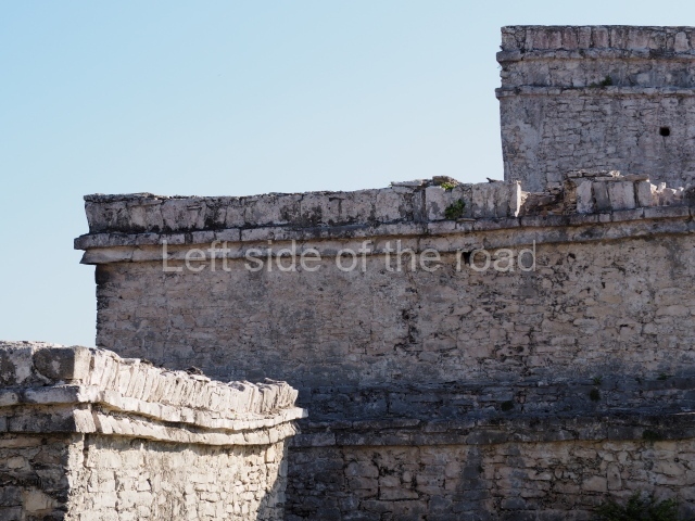
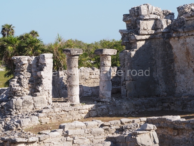
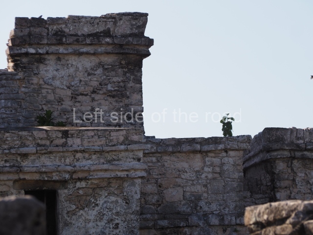
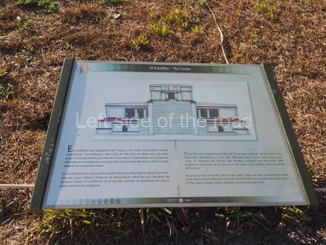
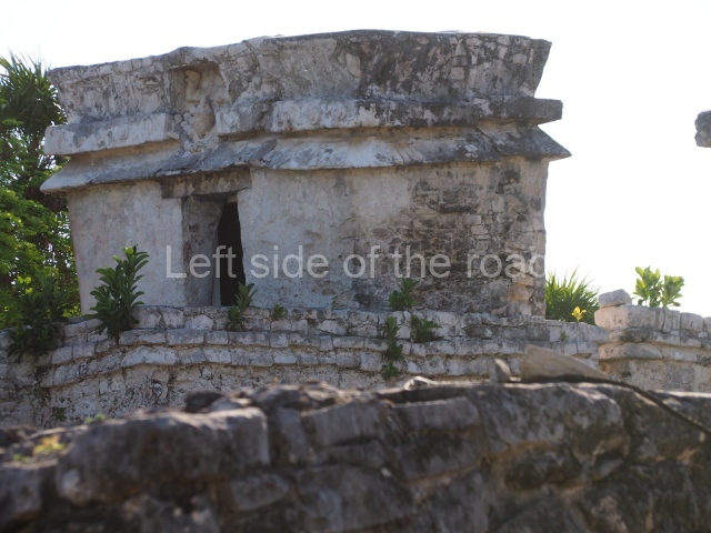
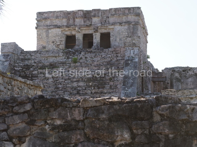
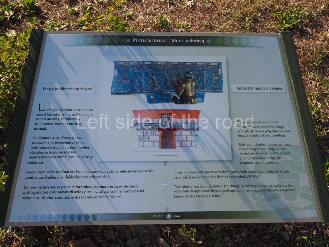
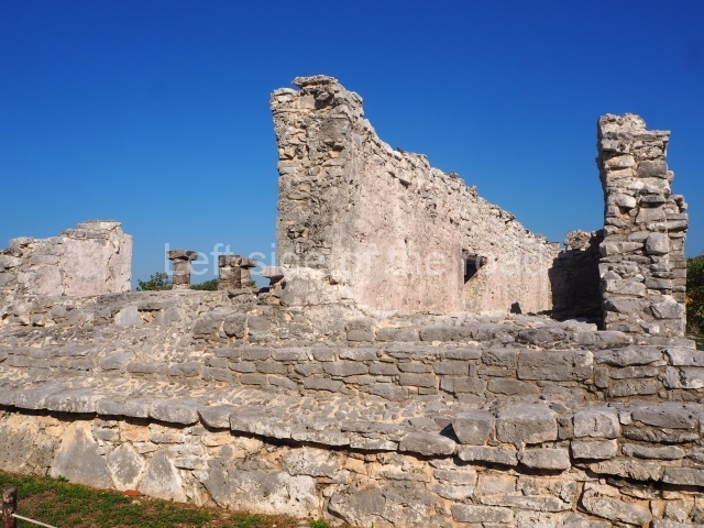
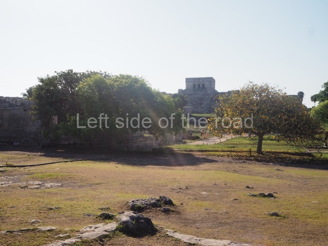
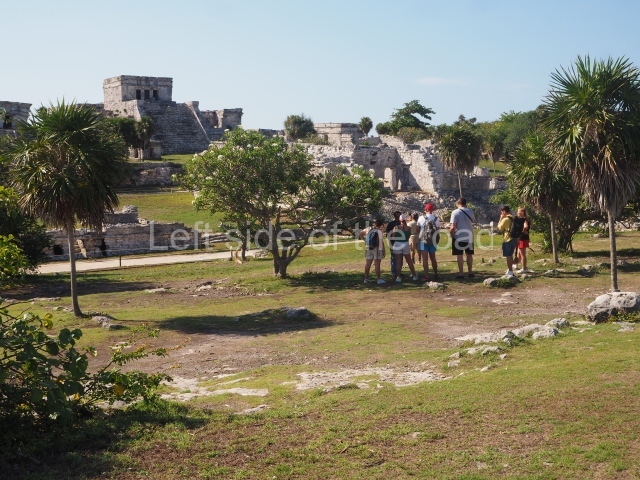
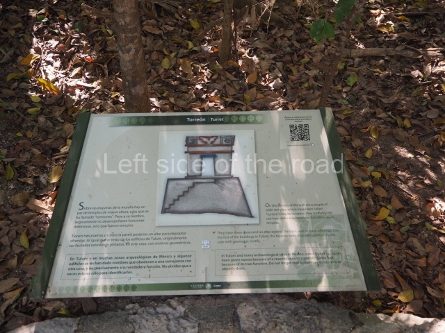
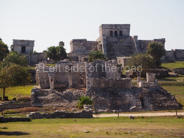
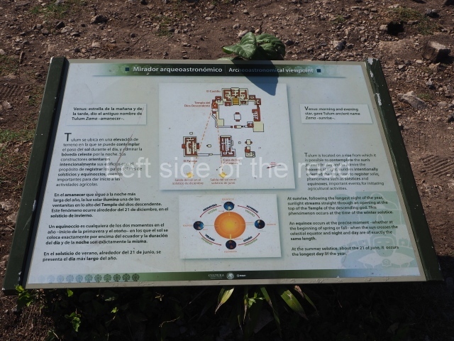
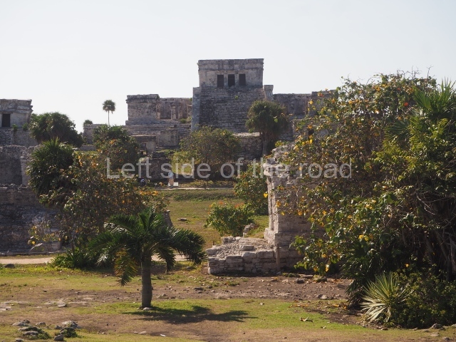
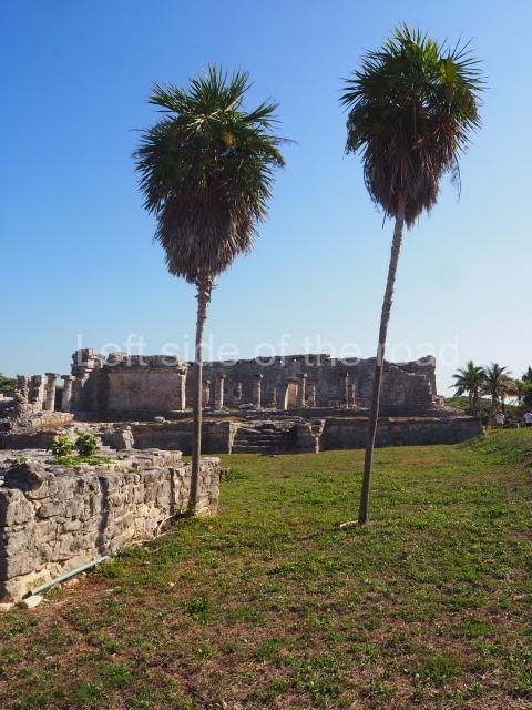
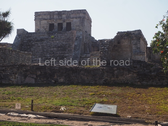
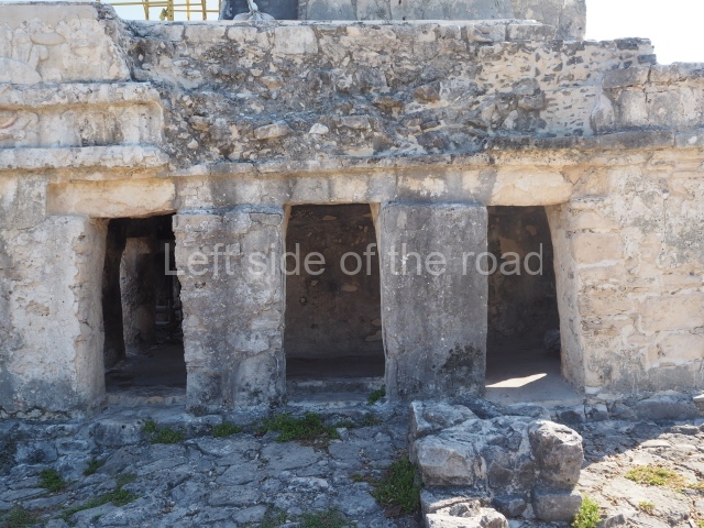
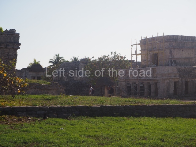
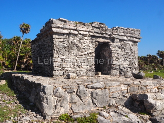
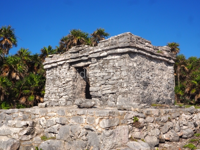
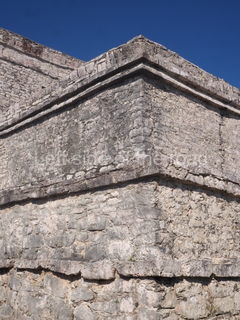
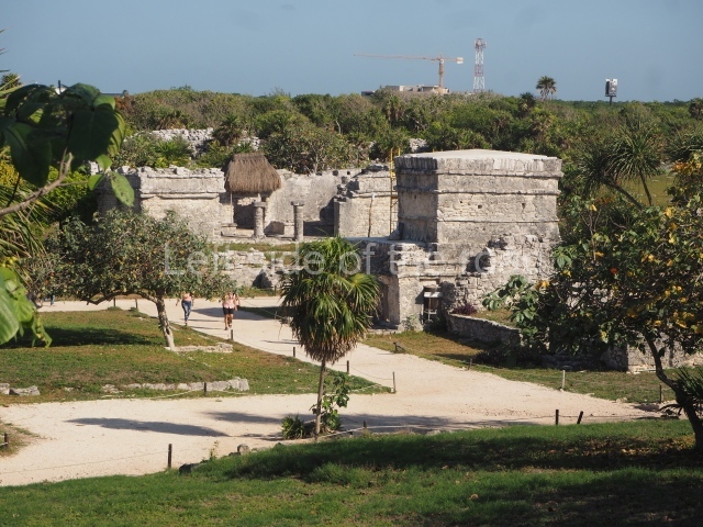
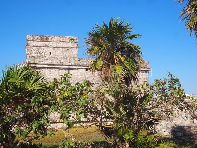
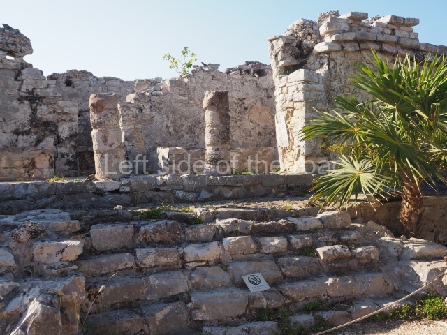
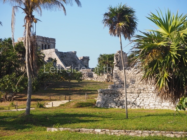
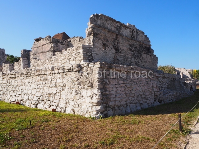
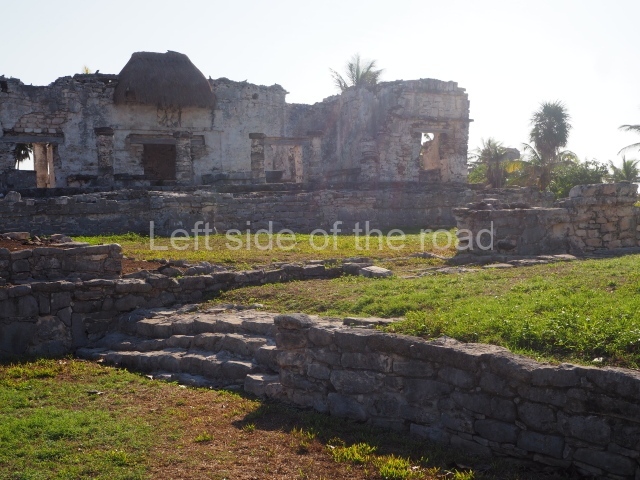
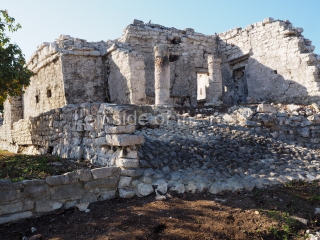
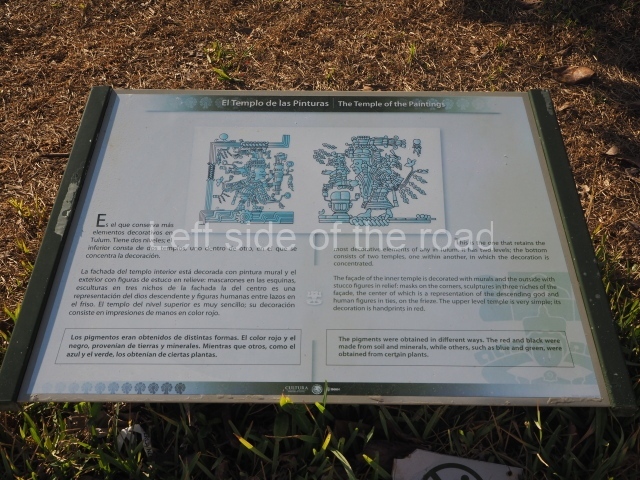
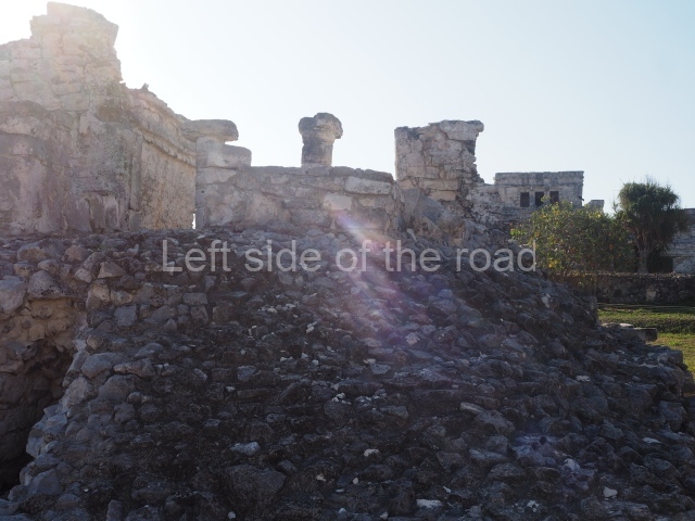
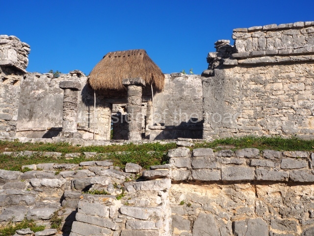
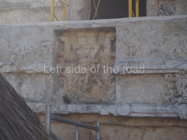
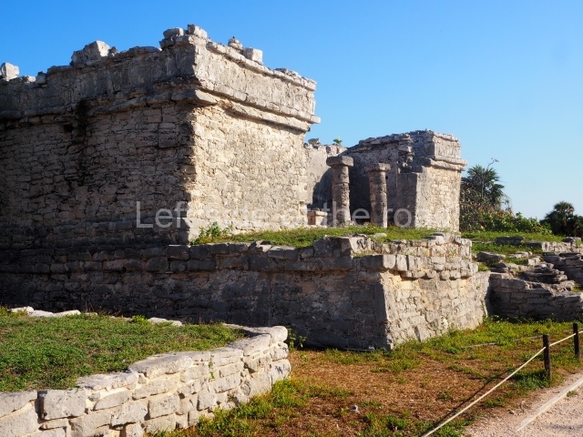
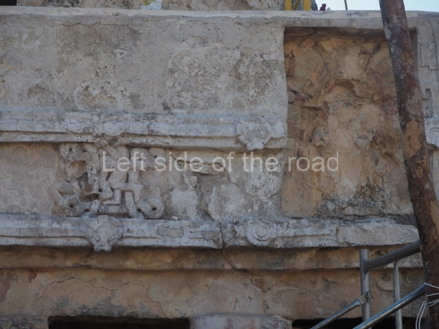
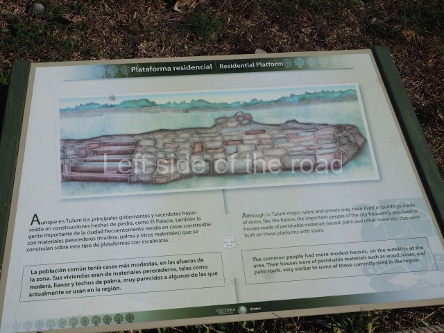
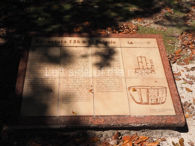
This is the name of the group of 12 buildings surrounded by a second, albeit smaller, defensive wall that restricted access. Inside this area is the Castillo, the most important building at Tulum, built with its back to the sea on the highest part of the cliff. The product of several construction stages, it is higher and larger than any of the other buildings at the site. A wide stairway with balustrades leads to the temple at the top, which contains two room accessed via three serpent columns. The façade displays two zoomorphic masks at the corners and three niches, the middle one of which contains the figure of a diving god. Flanking the stairway are two adoratoriums and at the foot of it a platform that was probably used for dance rituals. Another important building in this group is the Temple of the Initial Series, where the earliest date thus far recorded for Tulum was found. Also of great importance is the Temple of the Diving God, which is composed of a platform and a single-room building with interior benches. This temple is a good example of the ‘fallen wall’ characteristics of the architecture from this period. The main façade and the interior still display traces of paint, and the former a niche with a diving god. Flanking the causeway or main path in Tulum are a series of primarily residential constructions, such as the house of the columns, an L-shaped building with a large interior and a colonnaded entrance that once supported a flat roof. Another interesting example is the palace of the halachuinic, ‘great lord’, with a portico, three rooms and shrine within. The façade of this building also displays a niche with an image of the diving god and traces of the original paint. In the centre of the city, almost opposite the Castillo, stands the Temple of the Frescoes, one of the most interesting buildings in the Maya area in terms of its pictorial representations. It is the product of several construction phases; the original building was a room with an altar and richly painted walls, and a diving god in the central niche on the façade. It subsequently gained a portico or gallery on three of its sides, which is the construction we see today; it has four columns at the front and two pilasters to the south, flanking the entrance. The main façade contains three niches with representations of the diving god and figures with feathered headdresses. At every corner of the building is a giant mask of the god Itzamna, the lord creator of all things. The small temple on the roof of this building corresponds to the final stage of construction. The paintings inside make reference to different gods, mainly associated with farming and the underworld. In front of it stands Stela 2, nowadays greatly eroded but which once displayed the profile of a dignitary wearing a bird headdress. Situated opposite the former building is the House of the Chultun, a residential construction. The three entrances, defined by columns, lead to a large interior space which once had a flat roof made of wooden beams and lime concrete. Like most the buildings at Tulum, the façade displays a diving god. At the south-west corner of the building we can see a chultun, a type of cistern for collecting rainwater, from which the house takes its name. Situated in the northern section of the settlement are the House of the North-west and the House of the Cenote, as well as various adoratoriums near the coast the temple of the wind god. The former construction has three entrances flanked by columns, while the House of the Cenote stands on the natural vaulted roof of a cenote and also has three colonnaded entrances. Both constructions are thought to have served as family tombs. The Temple of the Wind God stands on a natural elevation at the edge of the cliff. Its semi-circular platform and the small altar inside suggest that it may have been dedicated to the wind god. Six small adoratoriums are situated to the north-east, so tiny that they must have fulfilled some religious function. Finally, situated at the south-east corner of the city is a group of elite residences.

Jose Manuel Ochoa Rodriguez

From: ‘The Maya: an architectural and landscape guide’, produced jointly by the Junta de Andulacia and the Universidad Autonoma de Mexico, 2010, pp445-447

Further Information:

Tulum – Rand McNally

Tulum – Rough Guide

How to get there:

From Tulum town. The entrance to the site is about 3 kilometres from the centre of the modern tourist town of Tulum. You might want to consider hiring a bike for the visit. The actual entrance to the site is a long way from the entrance on the main road, having first to pass what sounds like an horrendous ‘theme park’ and then you have to run the gauntlet of a huge shopping and eating complex. A bike will allow you to pass quickly through all this tat.

GPS:

20d 12′ 52″ N

87d 25′ 44″ W

Entrance:

First there’s a charge of M$58 to enter the ‘biosphere’. This at a control on the approach road to the site. Then it’s M$90 to actually enter Tulum ruins.

It starts to get busy very soon after opening (at 08.00) and by 09.00 small guided groups start to arrive which soon make the small and quite compact site feel crowded.

More on the Maya

Xel’ ha – Quintana Roo – Mexico

Xel' ha

Xel’ ha

More on the Maya

Xel’ ha – Quintana Roo

Location

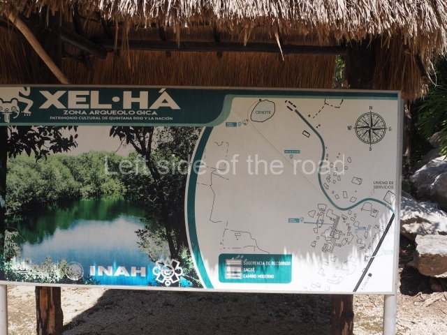
This site is located in the state of Quintana Roo, approximately 113 km south of the city of Cancun and 16 km north of Tulum. Its name in Yucatec Maya means ‘where the waters spring’ (from xel, ‘spring’, and ha, ‘water’), due to the fact that it overlooks a natural cove. This cove is believed to have served in pre-Hispanic times as a trading port and shelter for sailing vessels during bad weather. Nowadays, it has been turned into a recreational nature reserve (Xelha Park) and is regarded as one of the main tourist attractions on the Maya Riviera. The core area of the settlement with the most elaborate buildings occupies the highest point, rising in certain places to 8 m above sea level. There are several cenotes or exposed underground waters nearby. The largest is very close to the Jaguar Group at the site. The entrance can be found at km 245 on federal road 307 linking Puerto Juarez to the city of Chetumal.

Pre-Hispanic history

Due to its location, Xelha may well correspond to the ancient pre-Hispanic village known as Xala. Around 1527, the men in Francisco de Montejo’s expedition ‘travelled to Yucatan and cast anchor half a league from an Indian village, which they call Xala’ regarding it as favourable land for colonisation by the Spanish, they established the first Salamanca de Xala nearby. Xelha experienced two important stages of development: the first, between the late Preclassic and the end of the Early Classic, and the second throughout the Postclassic until the Spaniards arrived. During its early stage, the site reveals an increase in building activity, ranging from an incipient architecture based on perishable materials to a more attractive architecture with elaborate stonework and masonry. Combined with a gradual population increase, this enabled the settlement to gain the status of trading port, and it came to be recognised as the most important city in the region during the Early Classic. There was also evident artistic development during this stage, as manifested by its ties with sites further inland and on the central plateau; this is particularly evident from the pictorial style visible in the House of Birds.

Subsequently, during its second stage of development, the population increased further and port and trading activities were consolidated, spreading their influence along the whole of the east coast. The wall near the sea which defended the port from possible attacks corresponds to this period. Soon after the arrival of the Spaniards, Xelha entered a decline and by the middle of the 16th century had been abandoned.

Site description

The core area consists of four architectural groups, although only groups B and C are open to the public.

Group B or the Lothrop Group.

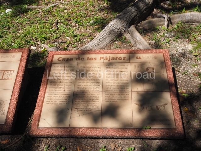
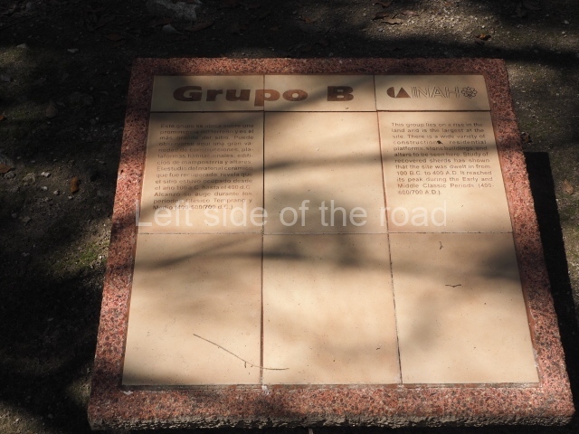
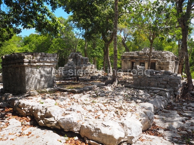
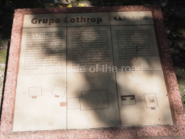
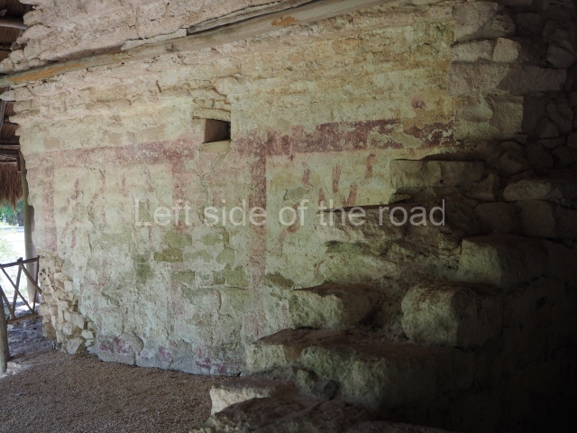
This group of constructions is situated some 400 m west of the cove. Its structures comprise platforms and masonry buildings distinctly influenced by the Peten style of architecture. The group was occupied almost continuously from the Late Preclassic until the beginning of the 16th century. It contains palatial-type buildings that were almost certainly used by people of high political or religious rank; most of them date from the Late and Terminal Classic. The main structure, known as the House of Birds and nowadays partly destroyed by the road built in the 1970s, displays numerous construction phases. The dividing wall between two rooms still has traces of murals from the Early Classic. One side of the wall depicts birds and the other an effigy of Tlaloc, with a marked Teotihuacan influence. A pre-Hispanic causeway (sacbe) measuring 6 m wide and 1,200 m long leads to groups C and D.

C Group or Jaguar Group.

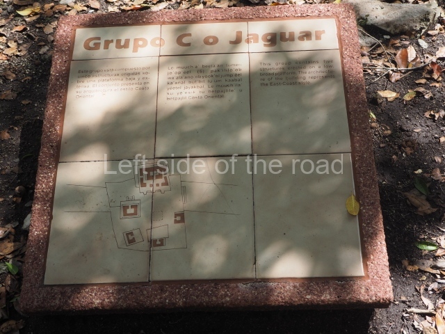
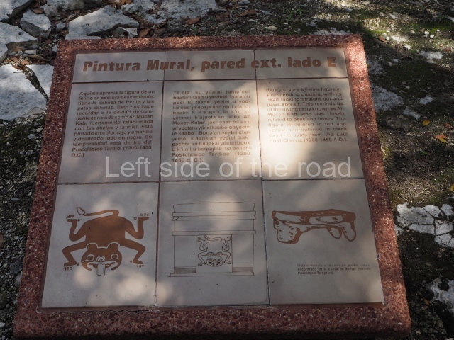
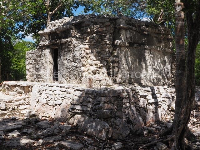
Situated on the edge of a magnificent cenote, this group corresponds to the final period of occupation. Five small temples or adoratoriums in the East Coast style are distributed around the platform they share, forming a small plaza with a tiny altar at the centre. The most outstanding building is the one that lends its name to the group. This contains another small shrine with murals on the interior and exterior walls. One of these murals shows a jaguar. Another of the temples is accessed by balustraded stairways culminating in serpent heads, now obliterated by the passage of time.

Other Groups.

Although not open to the public, Group A or the Pier Group contains constructions dating from AD 990 to 1527, situated near the cove on a small isthmus, keeping watch over sailing vessels entering the cove. It is composed of low platforms and three East Coast-style structures which were used for port and trading activities. However, the most outstanding element of the group is a wall, 50 m long and 3 m high, which protected the settlement, Group D, situated at the end of the sacbe, comprises six structures that have not been excavated but whose architecture suggests that they date from the Late Classic.

Monuments and ceramics

The historical ceramic periods can be summarised as follows:

Kantenah period (AD 100-400). There are only a few ceramic fragments from this period and no evidence of building activity, suggesting that the site must have been at a very incipient stage.

Yalku period (AD 400-600). This stage reveals considerable building activity in an architectural style characteristic of the Peten-Belize region, with masonry constructions, inset stairways and rounded corners. During this period, Xelha consolidated its status as a trading port and its cultural ties outside the region.

Chemuyil I period (AD 600-700). This is distinguished by several stylistic influences from the central region of the peninsula, demonstrating the degree of cultural relations that this settlement maintained with various inland sites during the Late Classic.

Chemuyil II period (AD 700-1200). This period denotes a transformation in the constructions with most of the buildings now being covered and closed to allow for new structures on top of them. The Vault Group (D), connected via a sacbe to Group B, dates from this time.

Xala I period (AD 1200-1527). A considerable number of East Coast-style buildings emerged in this period, including the Pier (A) and Jaguar House (C) groups. Altars were also built next to water and inside caves. Xalal II Period (AD 1527). The site was abandoned.

Importance and relations

Some authors believe that the most outstanding aspects of this site are its location and its importance within the vast coastal trade network during the Postclassic period. Meanwhile, its status as a trading port must have allowed it to develop and maintain relations with other regions in the Maya area and on the central plateau. The traces of murals in the structure known as the House of Birds denote an external influence, which was manifested in the social, cultural and artistic circles at the settlement. This again reveals important ties with other sites in eastern Yucatan and Mesoamerica.

Jose Manuel Ochoa Rodriguez

From: ‘The Maya: an architectural and landscape guide’, produced jointly by the Junta de Andulacia and the Universidad Autonoma de Mexico, 2010, pp443-444.

Getting there:

From Tulum. Not easy. Get a combi that travelling in the direction of Playa de Carmen and try to get dropped off on the main road as close to the entrance of the site as possible. The ‘not easy’ bit is getting across a busy road where the traffic scream by.

To get back to Tulum just flag down any combi that passes through the town. M$40.

GPS: 

20d 19’09.00” N

87d 21’59.55” W

Entrance:

M$90
More on the Maya