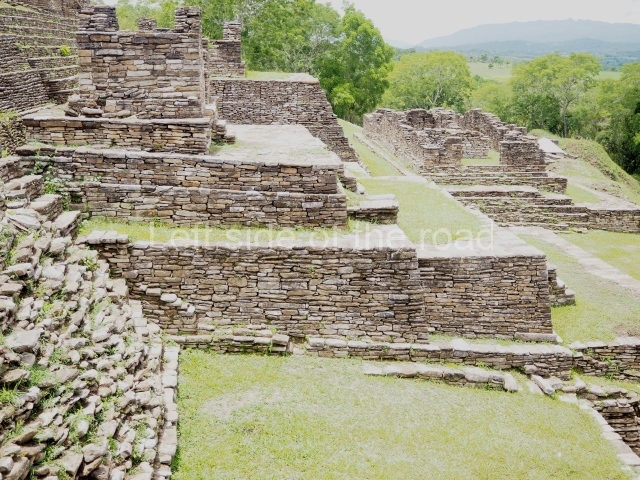
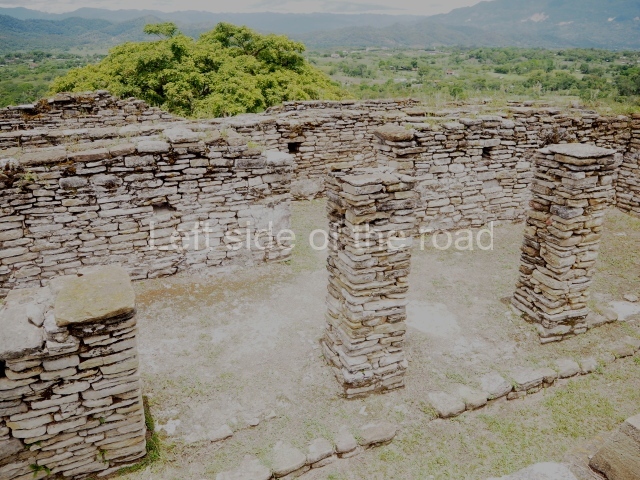
El Rey – Quintana Roo – Mexico

El Rey

El Rey

More on the Maya

El Rey – Quintana Roo

Location

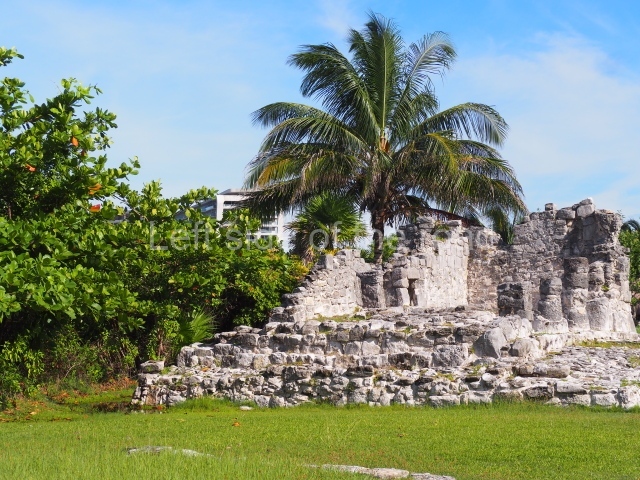
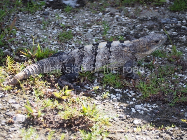
The pre-Hispanic settlement is situated on Cancun Island. Measuring 21 km in length and 400 m at its widest, this is a long strip of land delimited by the Caribbean to the east and by Lake Nichupte to the west. It is surrounded by vast wetlands and mangroves. No one knows the original name but the present-day one is a reference to a sculpture of a human face with an iguana headdress found at the site. El Rey is the largest and most important of the 12 pre-Hispanic sites on the island and chronologically corresponds to the Late Postclassic. It coexisted with San Miguelito, the second largest, Yamil Lu’um (‘undulating land’), Punta Cancun and Pok Ta Pok. However, some of the settlements on the island date back to the Late Preclassic, the most important of which are Coxolnah or ‘house of the mosquito’, situated on a peten or island in the lake area, and El Conchero, a mound of shells and conches left by mollusk-gathering human groups.

History of the explorations

The first geographical reference to the Island of Cancun or Cancuen can be found on a map from 1776 drawn up by the cartographer Juan de Dios Gonzalez. During the 19th century, the island was visited by Captain Richard Owen Smith, John L. Stephens and the Englishman Frederick Catherwood, Alice and Augustus Le Plongeon, William H. Holmes, C. Arnold and F. J. T. Frost; the latter two produced the first drawing of the anthropomorphic head that lends the site its name. In the 20th century, Thomas Gann and Samuel K. Lothrop produced descriptions of various structures as well as several maps and photographs. In 1954, William T. Sanders conducted the first excavations in an attempt to find ceramic materials that would indicate a timeline for the sites of El Rey and San Miguelito. Nine years later, Wyllys Andrews IV led excavations at El Conchero. In the 1970s, Pablo Mayer Guala of the INAH launched the first official research and consolidation project at El Rey. In the subsequent years, the same institution has conducted various consolidation and maintenance works, led by Enrique Terrones G.

Pre-Hispanic history

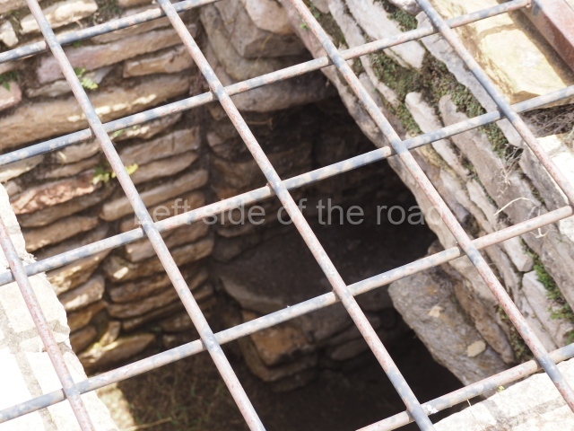
When the Spaniards arrived with Francisco Hernandez de Cordoba in 1517, the Yucatan Peninsula was divided into 19 chieftainships and Cancun Island belonged to Ecab. The principal economic activities were fishing, farming and the production of salt, honey, copal (a type of resin) and cotton. Between the 13th and 16th centuries, these products were traded via a vast network of terrestrial and maritime routes covering every coast on the peninsula, from Campeche to Central America. Thanks to its location on the edge of the island and status as just one of several coastal enclaves in the pre-Hispanic commercial network, El Rey was able to trade its marine products: dried fish, stingray spines, utensils and ornaments made of shell and conch. In the same way, various foreign goods were imported into the region: basalt grinding stones, knives and flint projectile points, obsidian cores and daggers, beads and earrings made of jadeite and quartz, rings, ornamental bells and copper tweezers. The limited terrain and saline soil shaped the economy of the ancient inhabitants of Cancun Island. Farming alone could not support a large population where scaly fishing, gathering mollusks and turtles provided the staple diet. The island’s occupants build underground pits (chultunes) to store rainwater and supplement the natural sources of fresh water from cenotes and sinkholes.

The pre-Hispanic occupation of the site is denoted by the Tases ceramic group, essentially composed of the Payil, Mama, Navula and Matillas varieties, the latter obtained through trade with the Gulf region of Campeche and Tabasco. The Spanish Conquest led to the disintegration of the trade network on the Caribbean coast, with serious consequences for communities such as El Rey. All the coastal settlements entered a population decline and between the 16th and 18th centuries became prey for English, French and Dutch pirates.

Site description

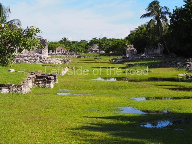
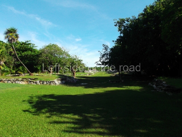
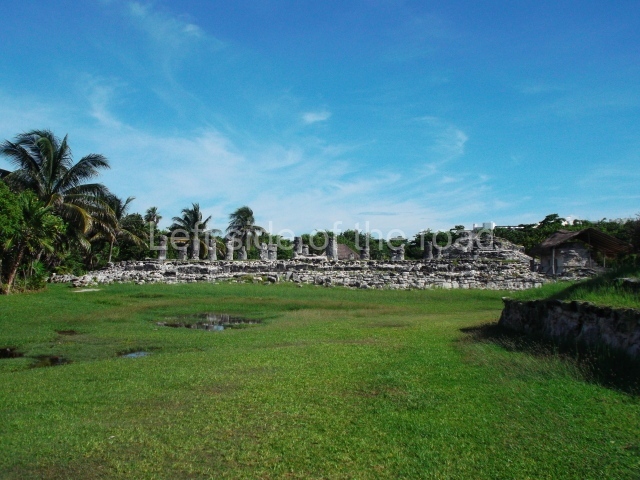
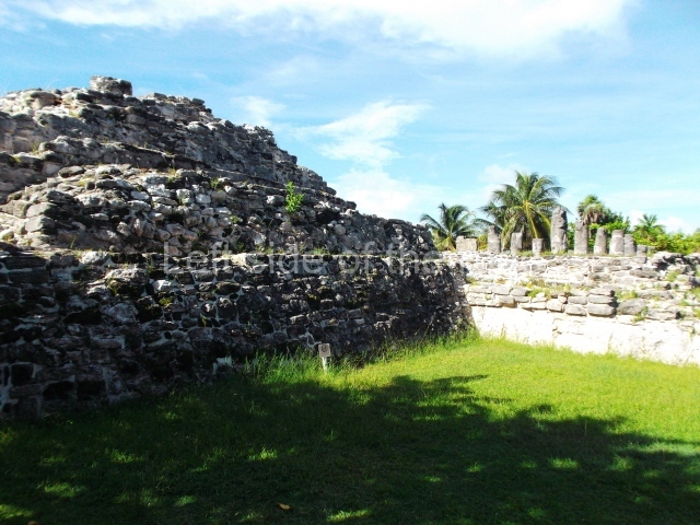
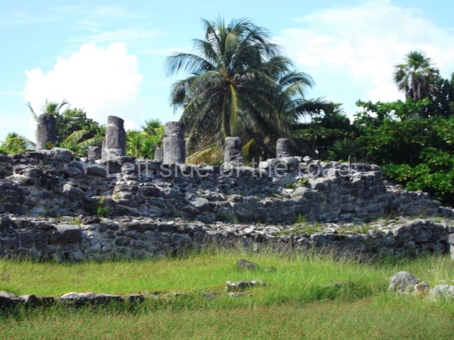
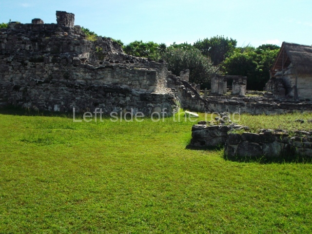
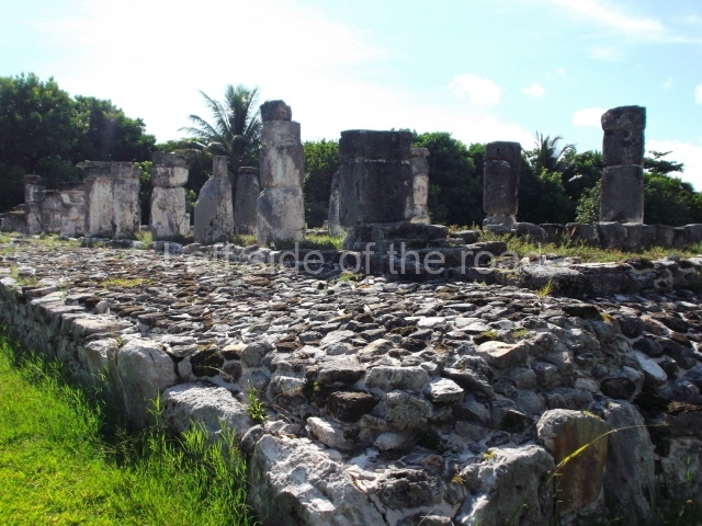
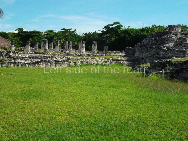
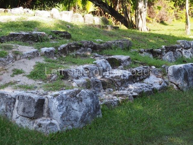
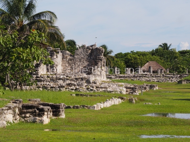
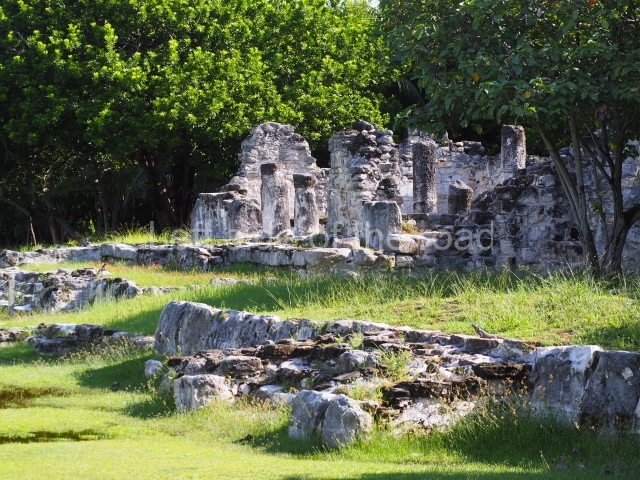
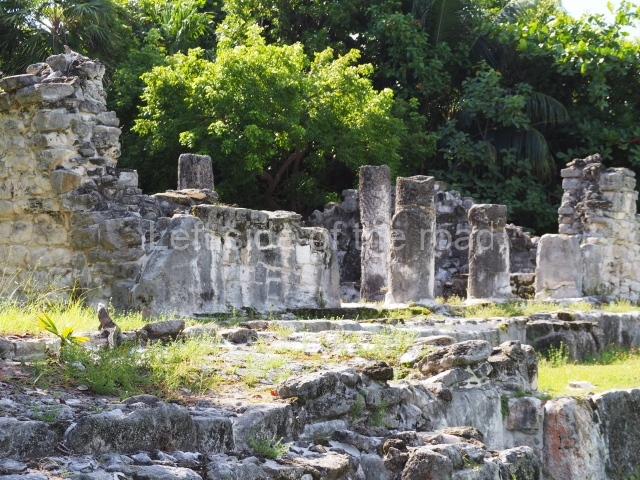
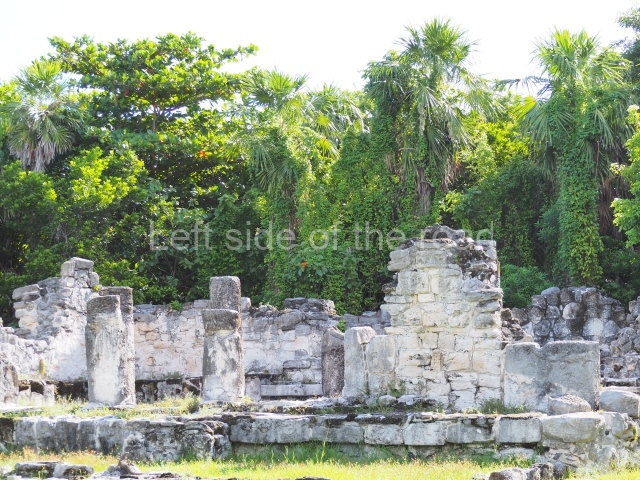
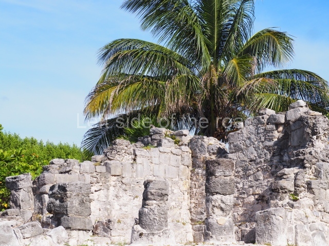
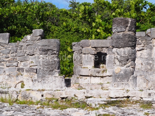
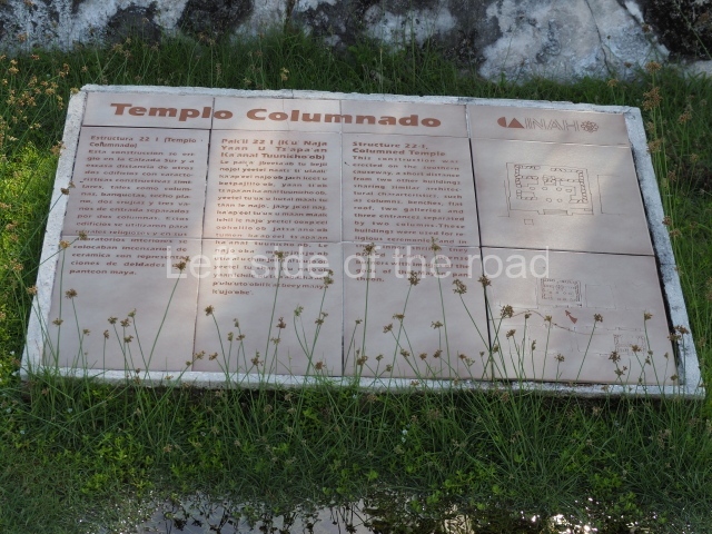
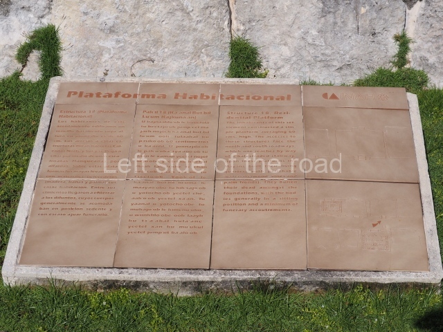
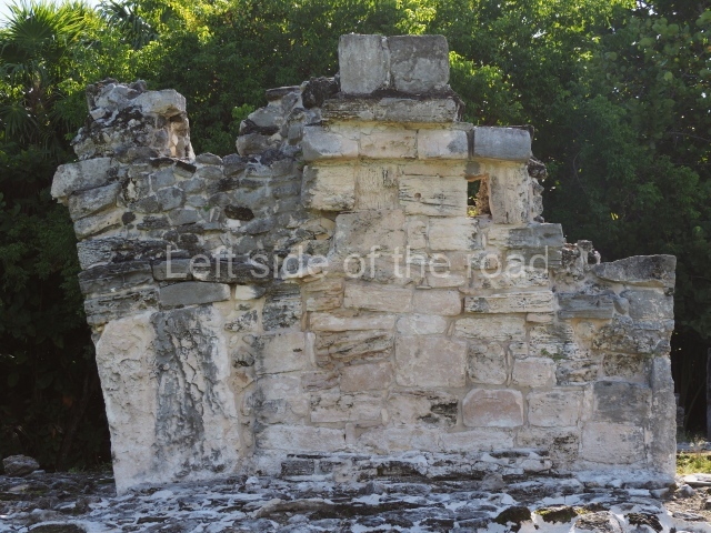
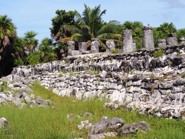
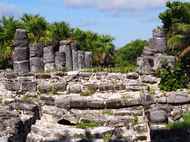
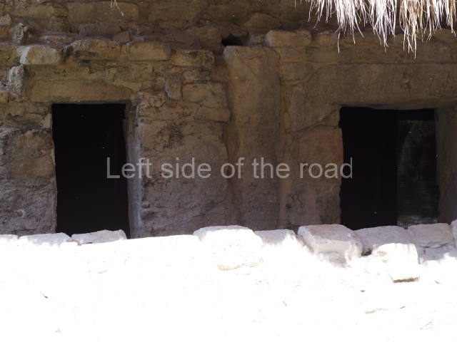
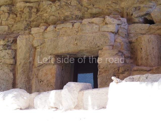
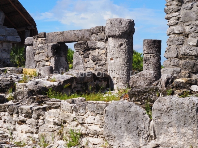
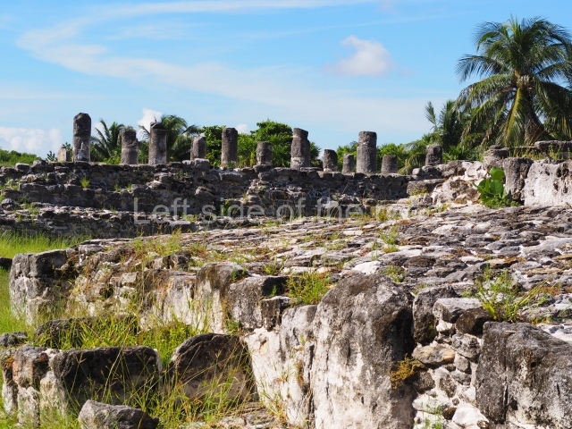
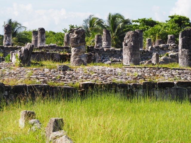
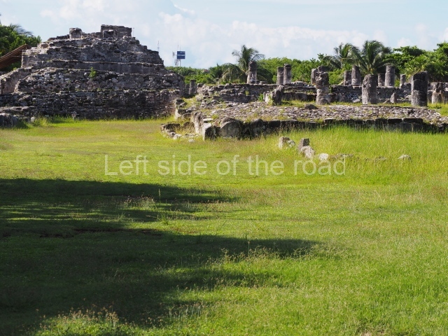
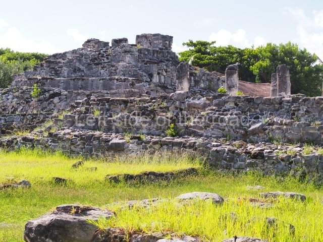
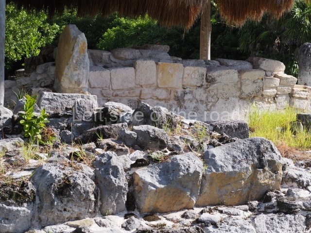
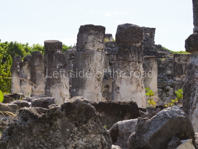
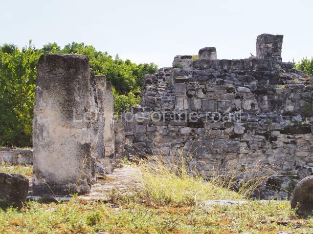
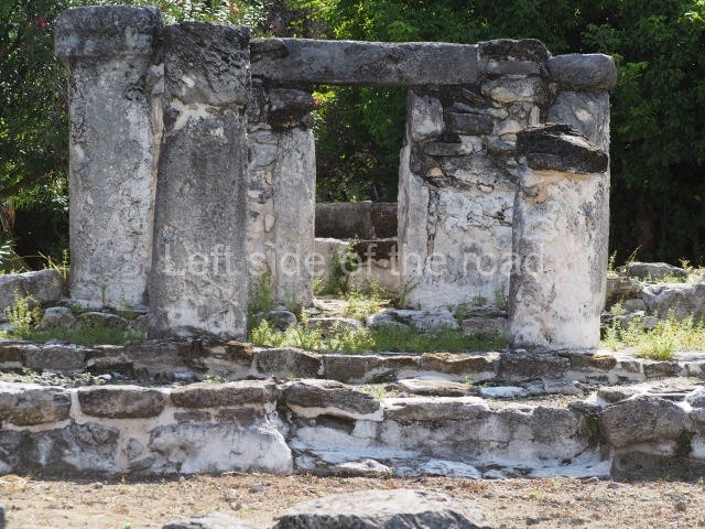
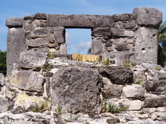
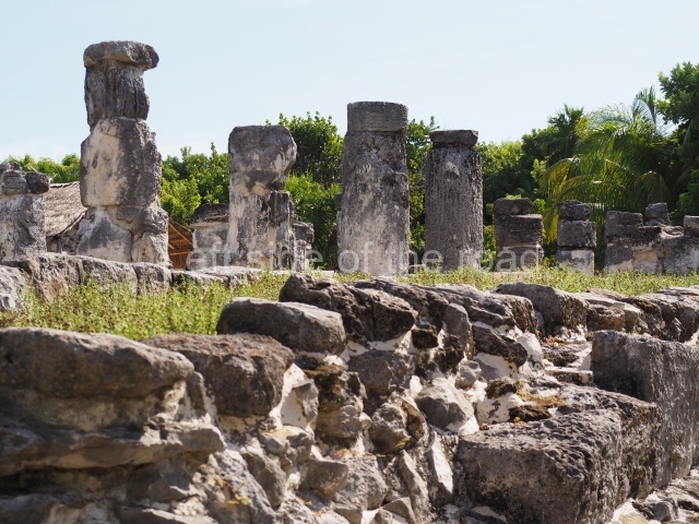
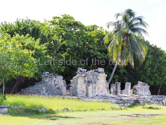
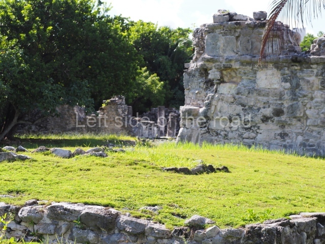
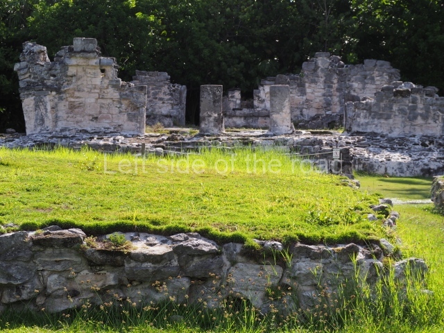
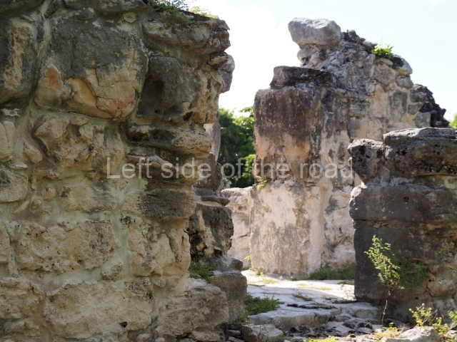
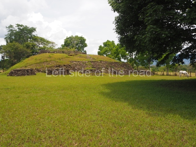
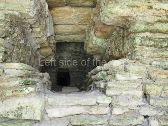
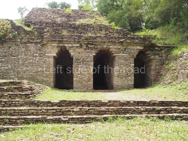
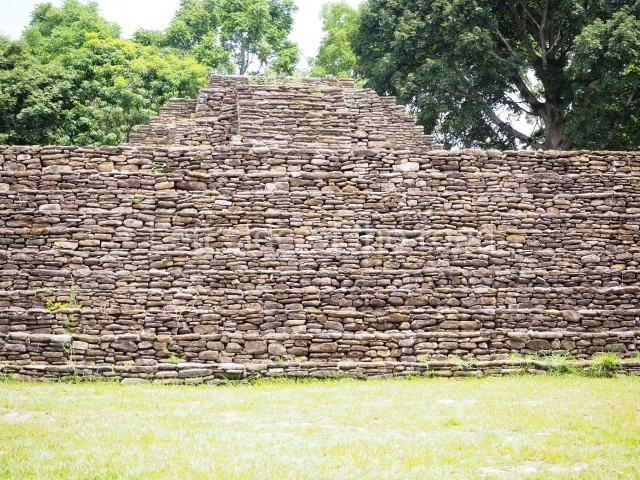
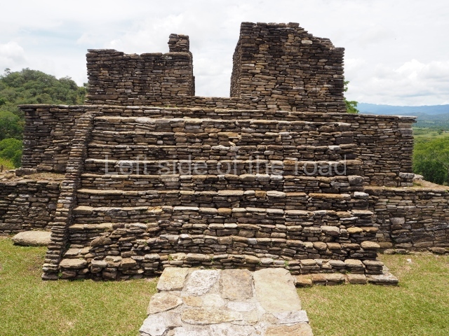
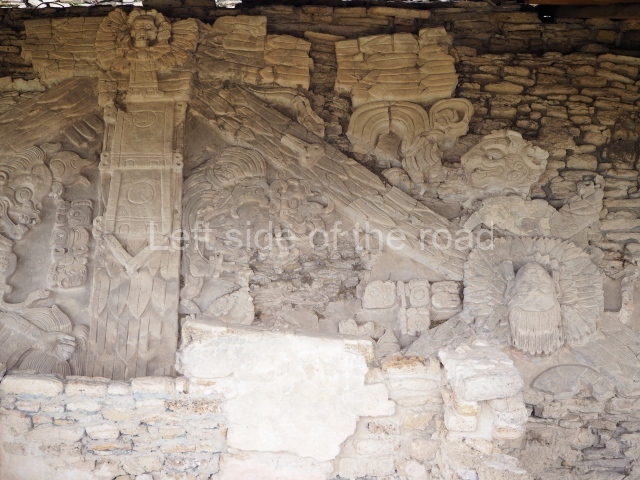
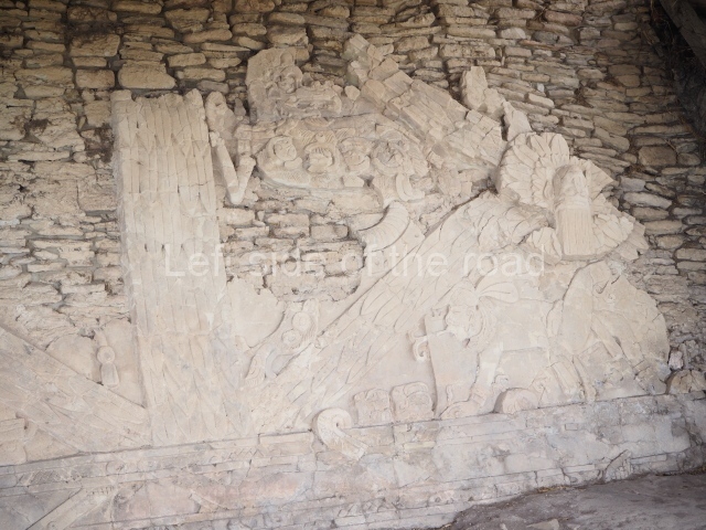
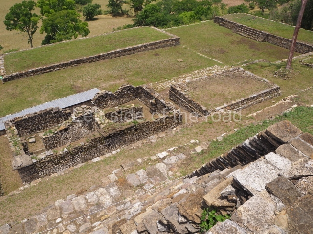
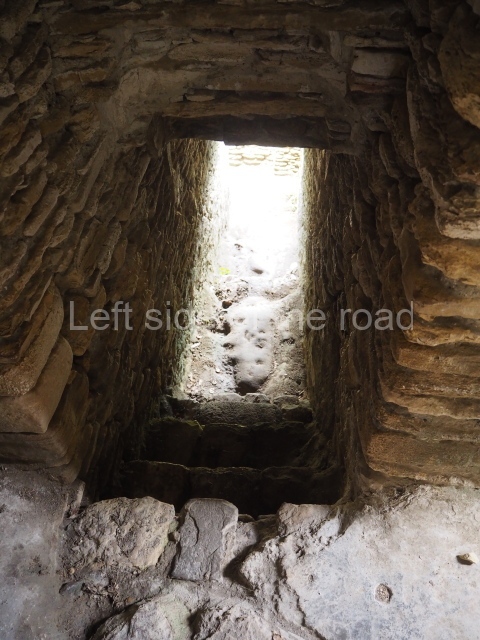
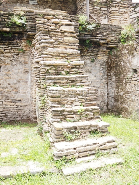
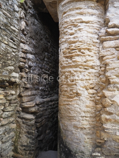
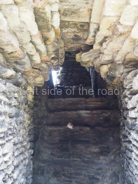
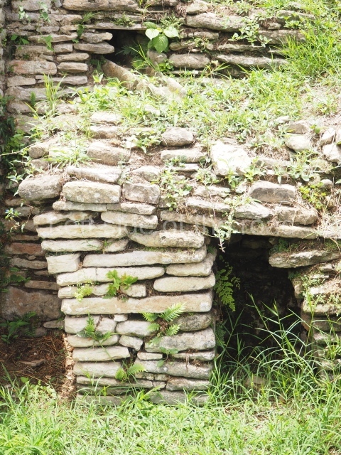
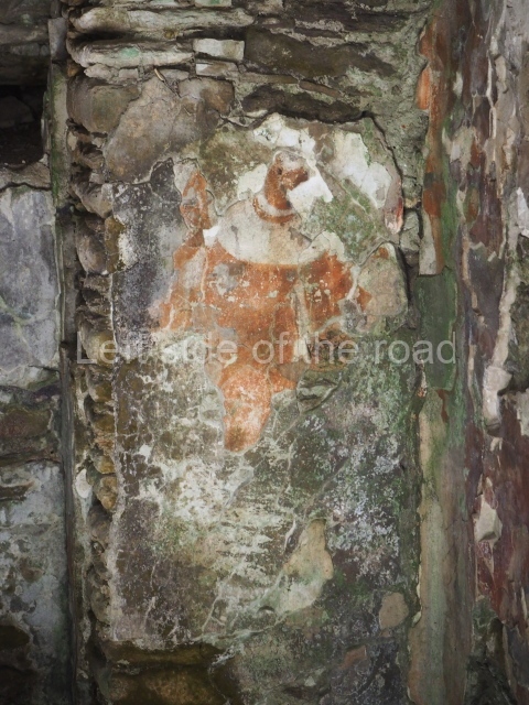
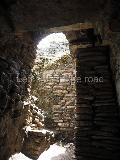
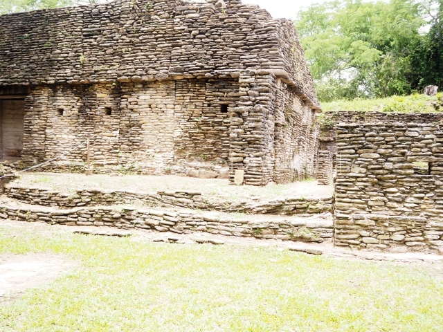
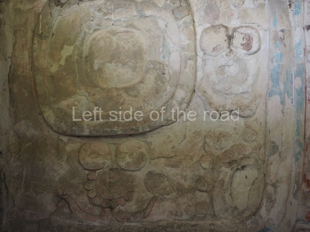
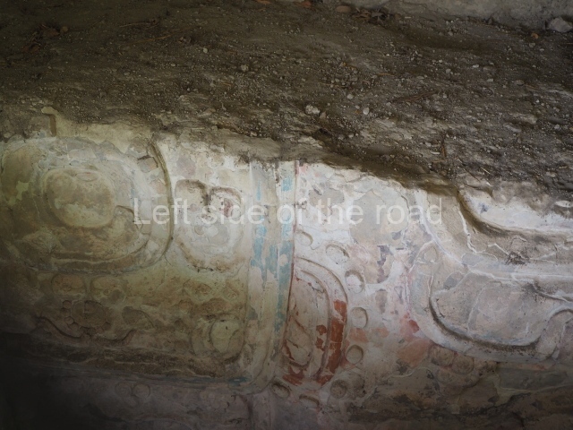
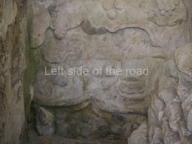
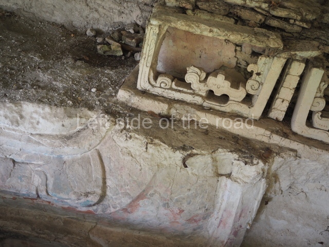
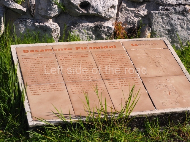
The architectural ruins at El Rey correspond to the Late Postclassic and the East Coast style, and coexisted with the constructions at Tulum, Tancah, Xelha, Xcaret, San Gervasio, Playa del Carmen and even certain buildings at Coba. There are 47 structures at El Rey, which itself covers an area measuring 520 m along the north-south axis and 70 m along the east-west axis. The principal unit or Civic-Ceremonial Precinct is composed of two plazas surrounded by religious constructions comprising temples, altars, adoratoriums and a pyramid platform with architectural evidence of a sub-structure. There are also hypostyle constructions with palatial columns and benches, used as beds, adjoining the interior walls. Situated north of the core area is a 200-m causeway, flanked by residential platforms on which wood and palm dwellings were built. Just south of the core area, three colonnaded temples flank another causeway, this time 300 m in length. Over 500 human burials were found beneath the residential platforms; most show that the humans were buried in a kneeling position. The offerings vary from a simple obsidian or conch knife to ceramic pots and jadeite beads and necklaces. A high ranking dignitary was buried on top of the pyramid platform and the offering associated with this tomb includes a ceramic goblet, two copper tweezers, an arrow shaft made of deer, a conch bracelet and a jadeite necklace. Cranial deformation and dental mutilation can be observed on several skulls, and pathologies such as arthritis and osteoporosis have also been detected, as well as a high degree of vitamin C deficiency. The average lifespan of this population has been estimated at 35 to 40. Like other coastal settlements from this period, El Rey had a texcatl or stone slab for sacrificial use, which confirms that this practice was conducted at the site. The temple known as Structure 3B still contains traces of murals on the interior walls of the vaulted chamber.

Enrique Terrones Gonzalez

From: ‘The Maya: an architectural and landscape guide’, produced jointly by the Junta de Andulacia and the Universidad Autonoma de Mexico, 2010, pp 436-437.

El Rey

El Rey

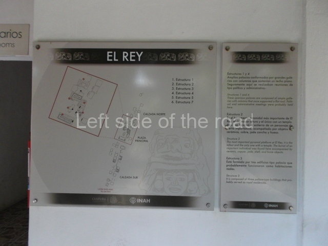
1-6. Structures 1 to 6.

How to get there;

El Rey is located almost towards the end of the long spit of land which houses the so called ‘hotel’ district of Cancun. It’s to be found just over a kilometre after the Museo Maya de Cancun (Cancun Mayan Museum). Buses R1 and R2, to and from downtown Cancun, run regularly along this road. M$12 per journey.

Entrance:

M$70

More on the Maya

Toniná – Chiapas – Mexico

Toniná

Toniná

More on the Maya

Toniná – Chiapas

Location

With its privileged location overlooking one end of the Ocosingo Valley, Toniná became one of the great Maya capitals of the Classic period. Situated near the western border of the Maya area, in the transitional area between the low rainforest regions and the cold forests of the Chiapas central plateau, its position enabled it to play a crucial role in the trade relations with other territories. Between the 7th and 10th centuries AD, its political alliances and military advances earned it the status of an important regional power. The site lies 10 km east of the town of Ocosingo, easily reached on route 199.
Site description

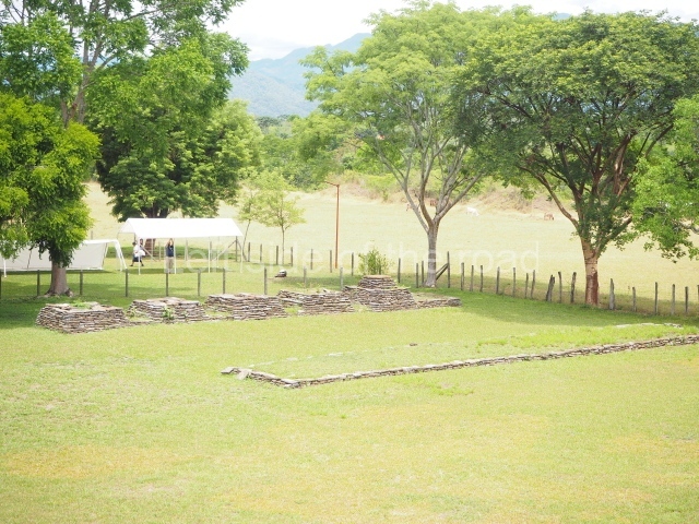
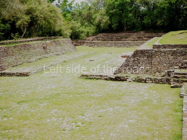
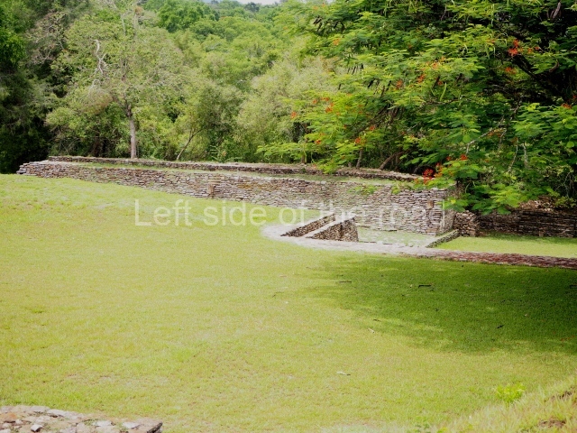
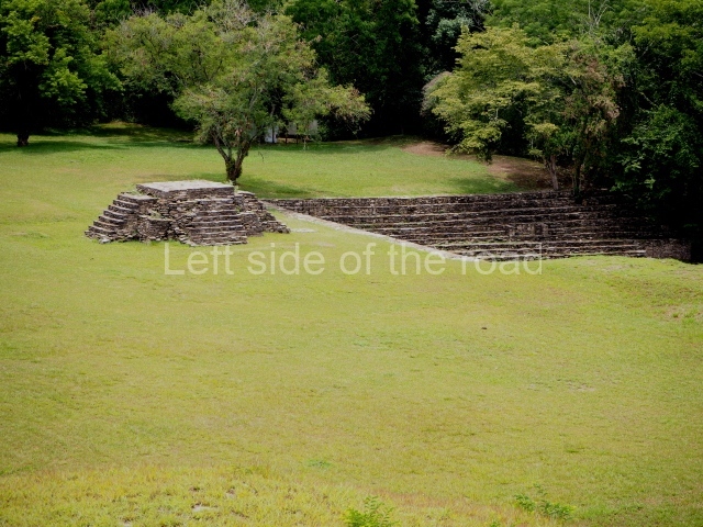
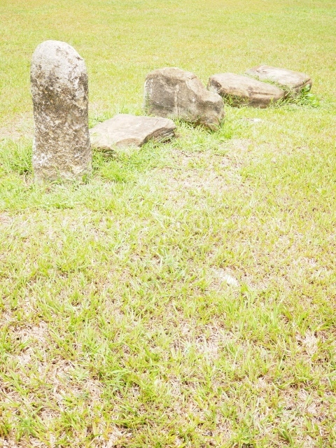
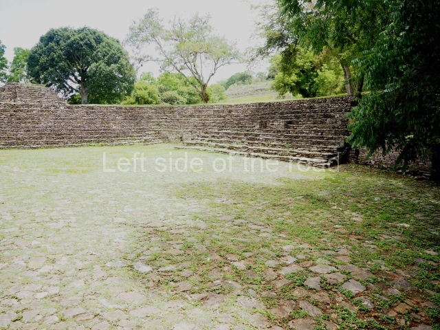
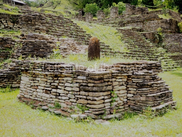
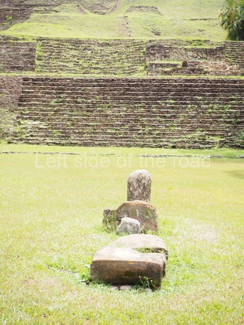
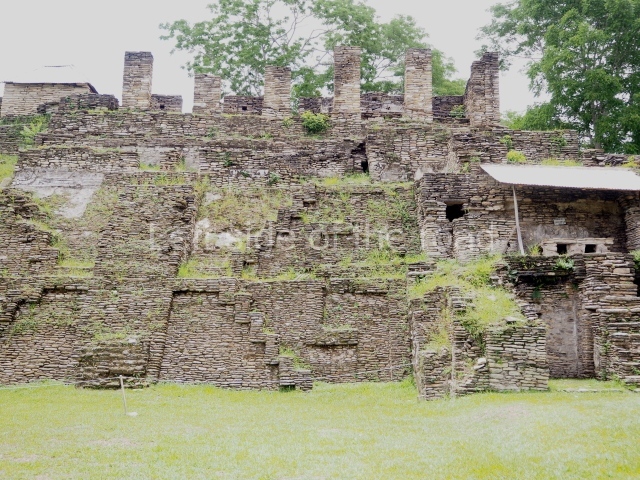
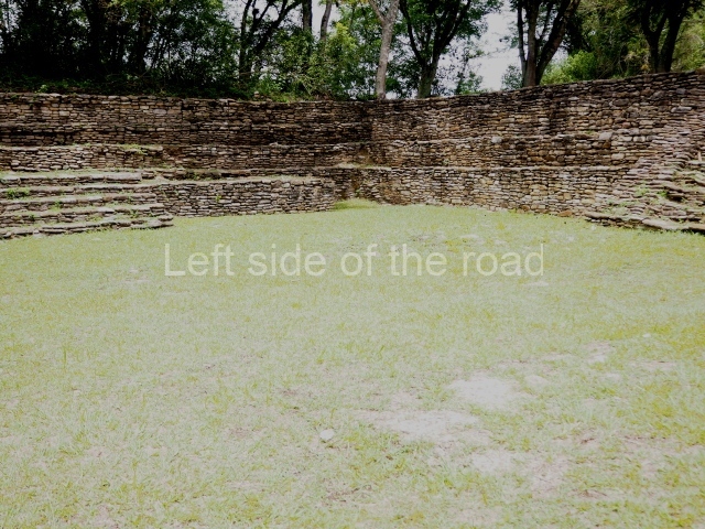
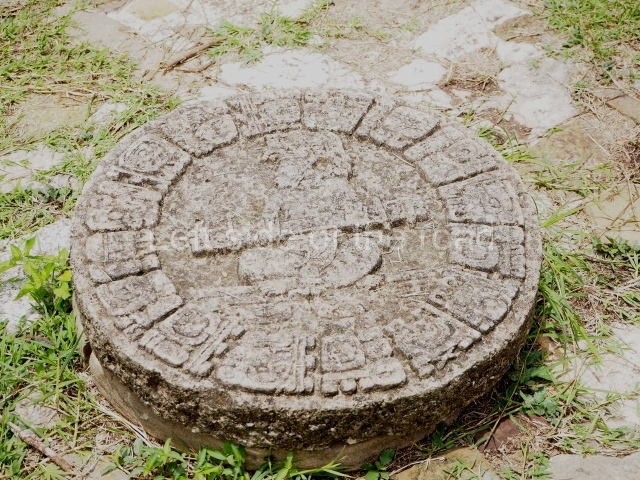
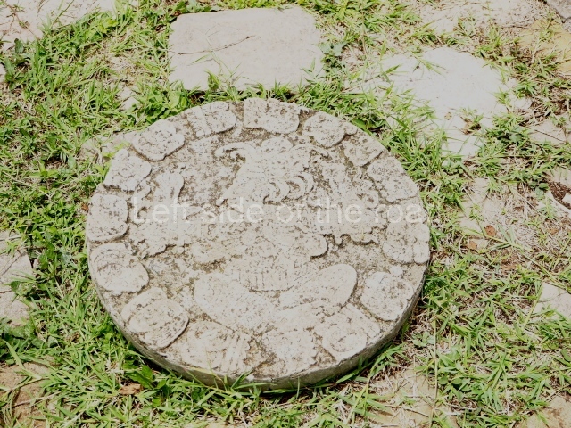
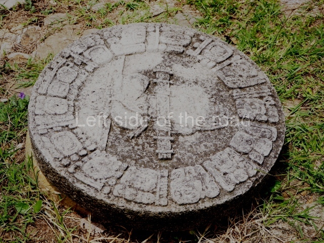
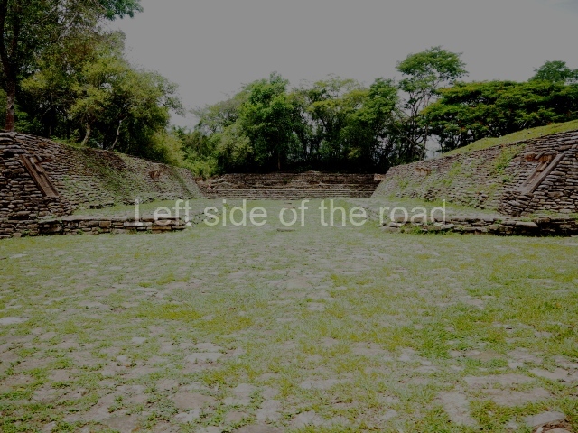
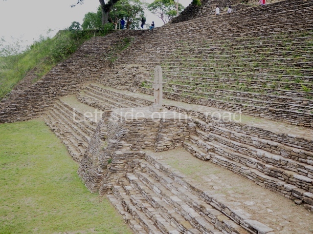
The tour of the site commences by crossing a small stream and then climbing up to the large playing area of the sunken, I-shaped ball court. The ground of the playing area is covered by stone slabs which originally had a top layer of stucco, and there are several circular stone markers where offerings of sea shells with a red pigment and jade beads were found; seating areas for spectators seal both ends of the court. The sloping volumes of the parallel platforms were surmounted by imposing sculptures of prisoners, three on each side. One of these is currently on display at the site museum. The sculptures consisted of a large shield interwoven and fringed with feathers carved in bas-relief on a panel; projecting from the latter was the three-dimensional body of a kneeling prisoner with his hands tied behind his back. Thanks to the information recorded in the hieroglyphs, we know that this court was dedicated in AD 699 to celebrate the success of the military campaigns conducted by the governor B’aaknal Chaak in the Usumacinta region, and that it was subsequently remodelled in AD 776; the prisoners, who have been identified by their glyphs, were vassals of Palenque, Toniná’s eternal rival.

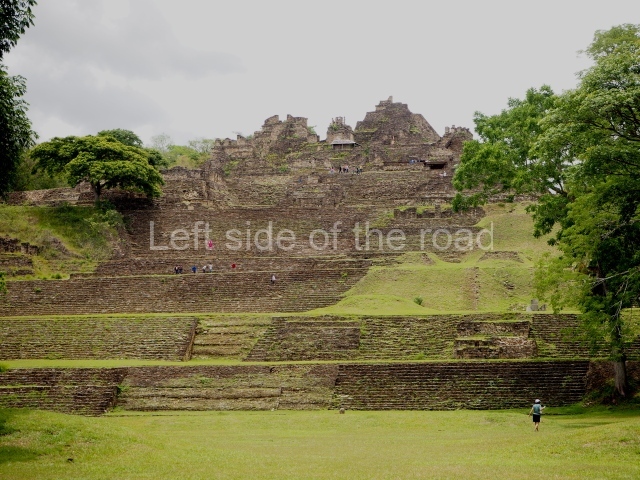
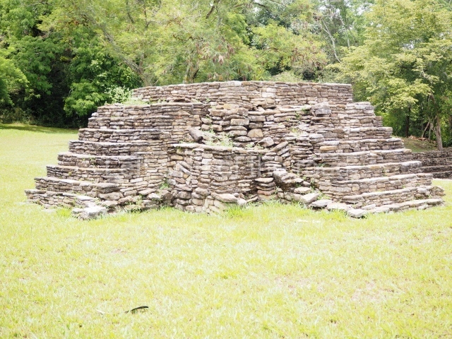
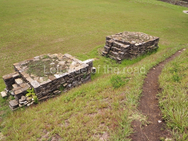
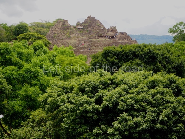
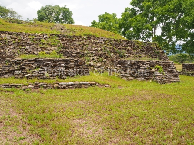
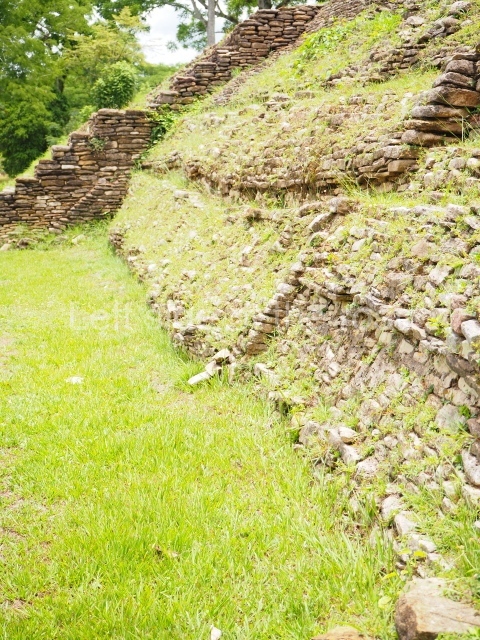
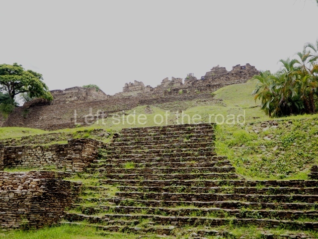
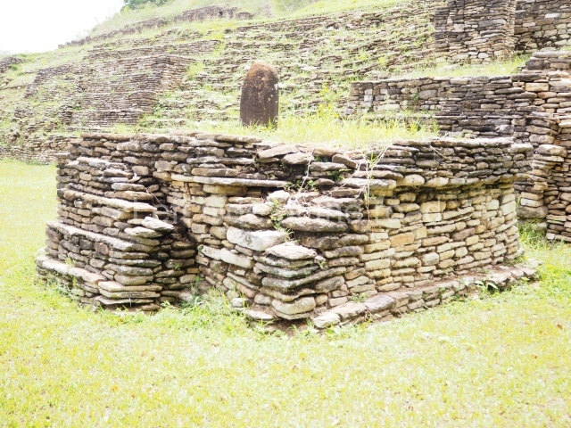
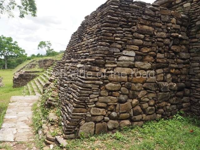
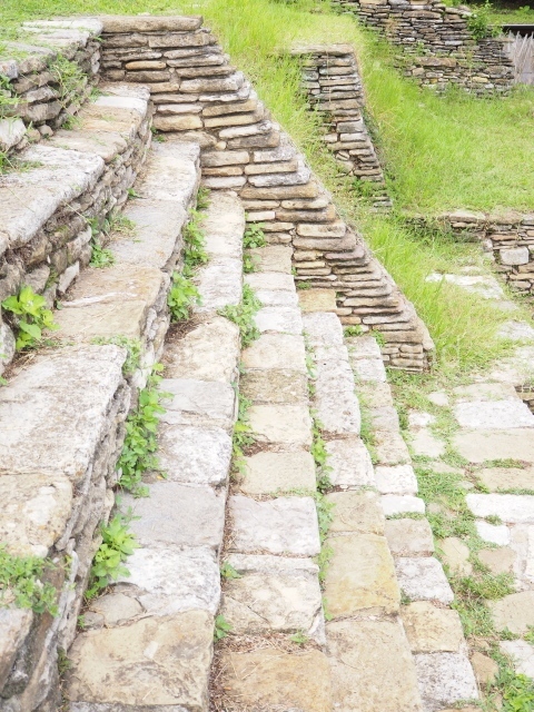
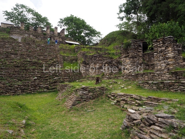
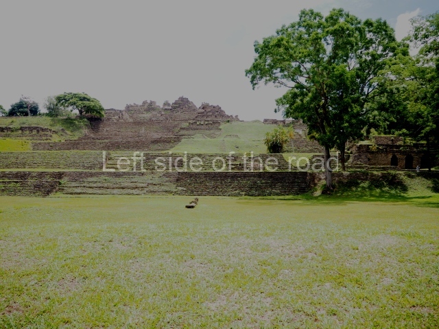
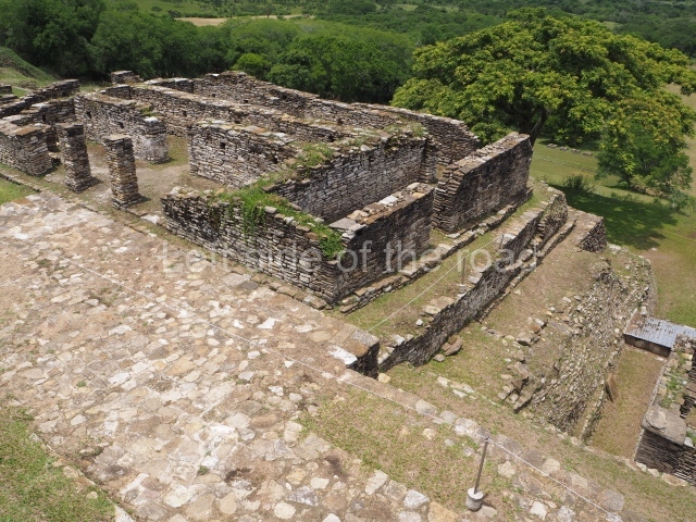
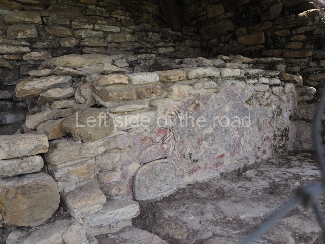
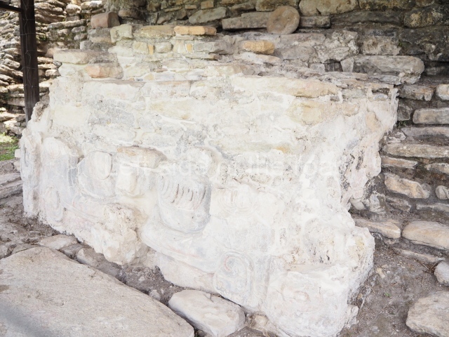
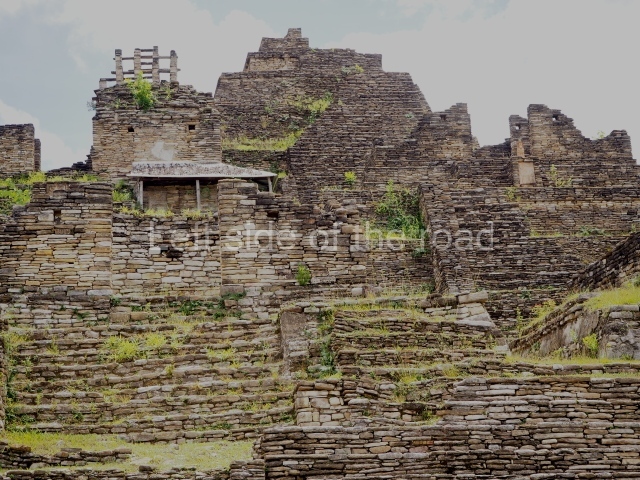
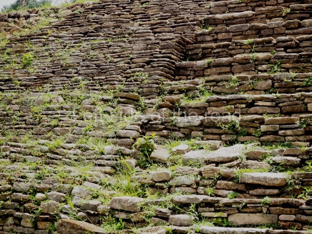
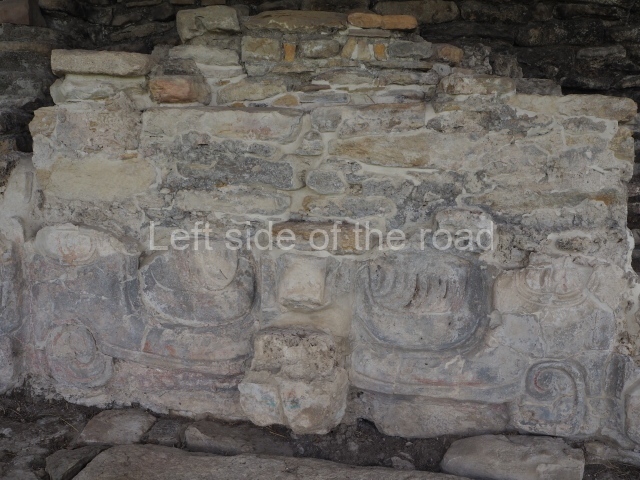
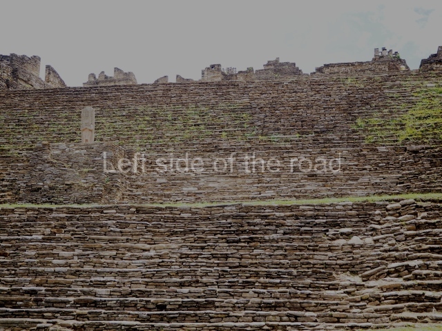
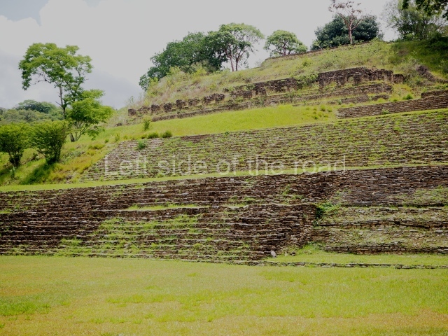
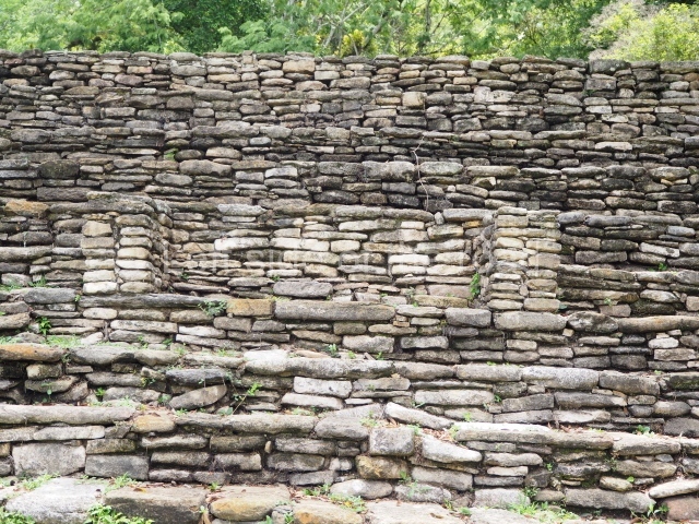
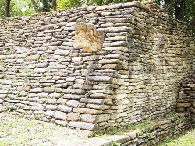
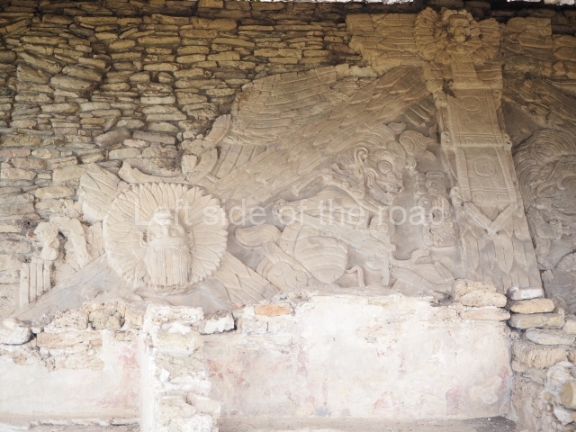
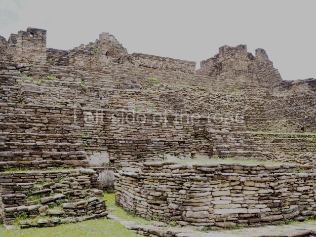
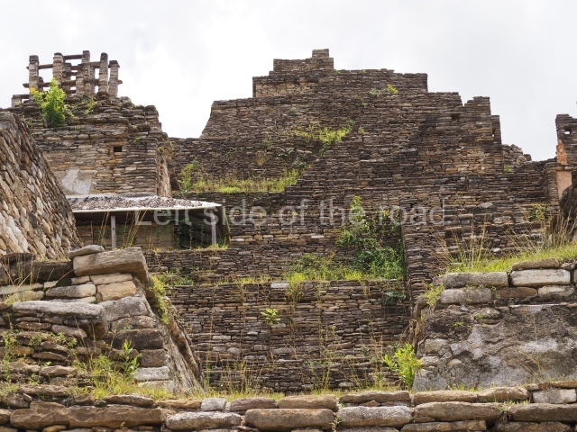
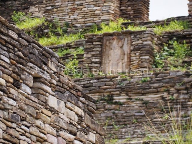
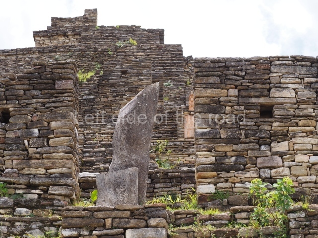
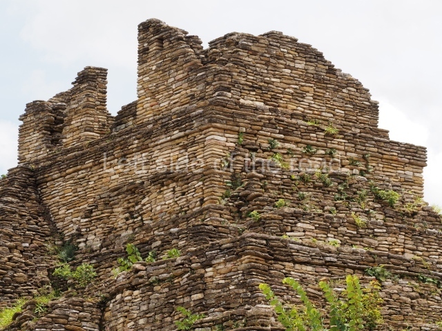
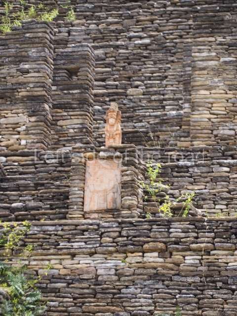
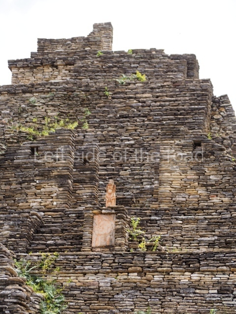
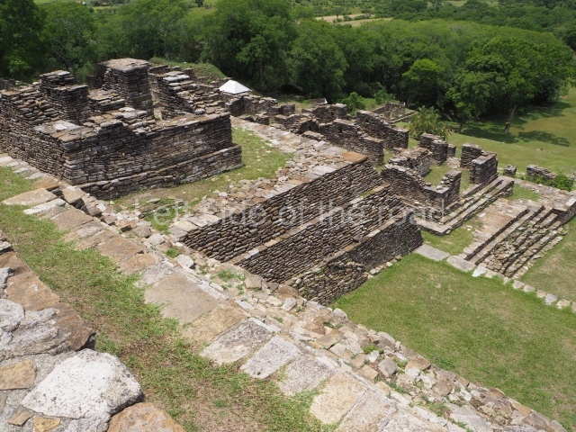
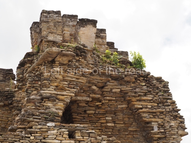
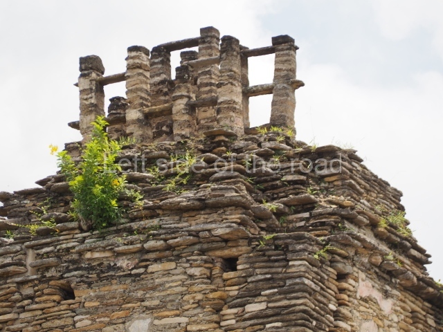
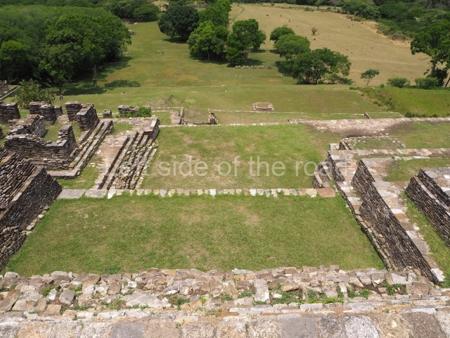
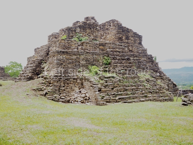
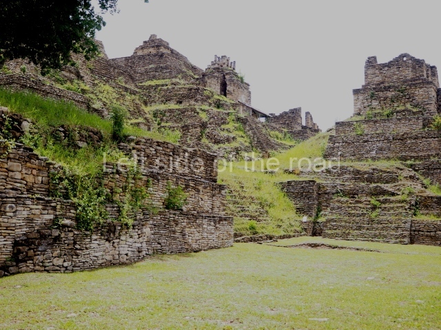
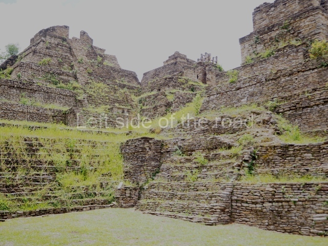
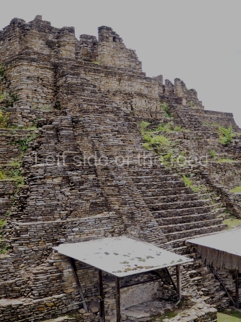
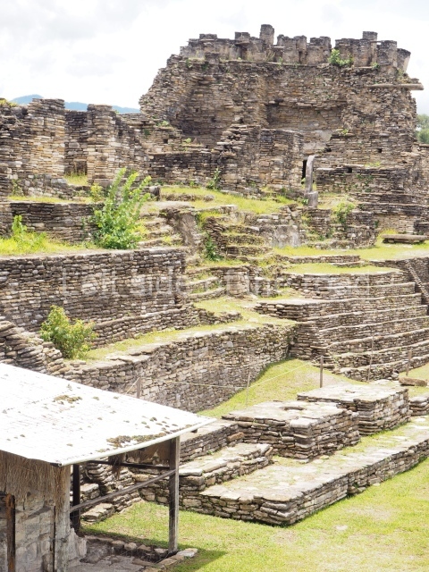
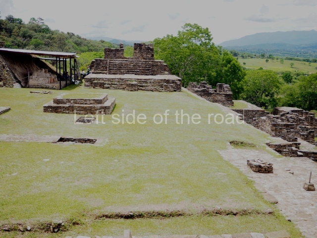
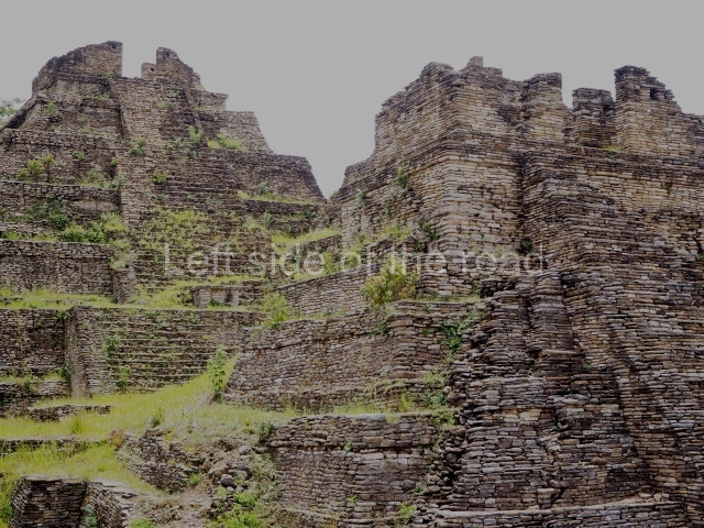
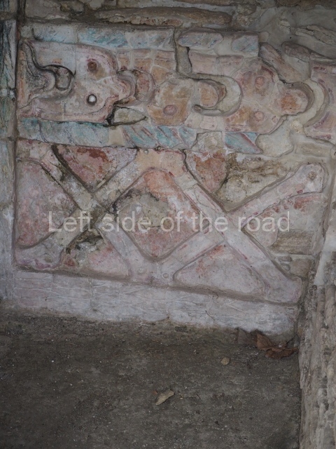
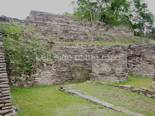
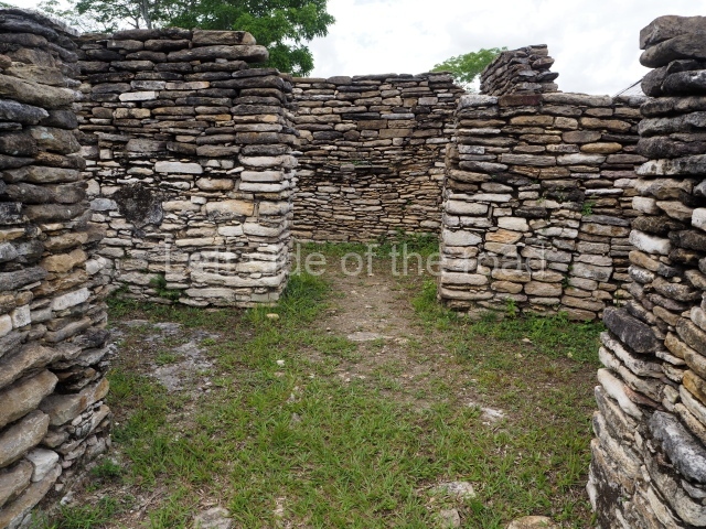
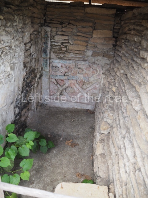
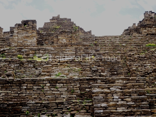
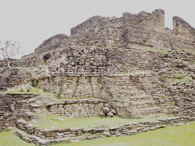
On leaving the ball court, you come to the great plaza and, at its north end, the great acropolis of Toning, the core political and ceremonial area of the city built on seven platforms rising from the natural elevation of a hill. On the opposite side of the plaza, along the south side, is a temple-pyramid known as the Temple of war, with five small altars in front of it. Evidence has been found in the Acropolis of numerous platforms, temples and richly decorated palaces, as well as tombs and sculpted monuments, all of which indicates intensive building activity over the course of several centuries. The local architectural style is easily distinguished by the slender slabs of stones, cut into square blocks, which were used for building walls, stairways, vaults and roof combs; the slabs were bonded with a clay mortar and then covered by thick layers of lime stucco. Meanwhile, the facades, friezes and walls of the constructions were often elaborately decorated with modelled stucco and painted, and although this material does not weather well, several examples have survived to this day and provide us with an insight into what the city must have looked like. The sculptural style at Toniná displays characteristics that have not been found anywhere else in the region, most notably manifested in the numerous exquisitely crafted images of governors and prisoners, carved in the round in the local sandstone and accompanied by hieroglyphic texts, although there are also magnificent examples of bas-relief carvings on panels and altars.

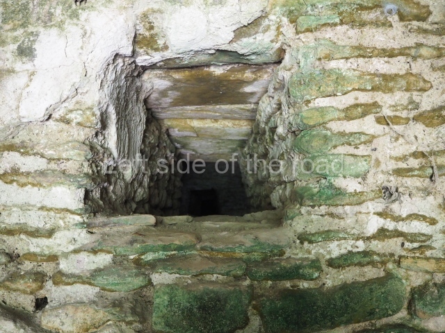
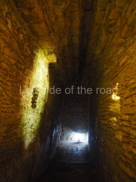
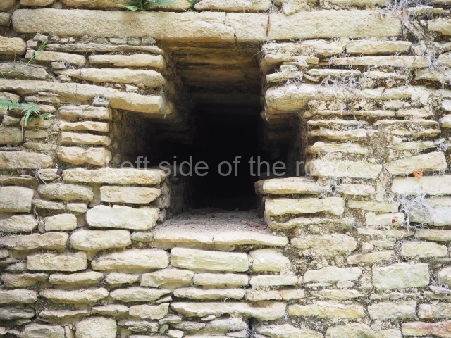
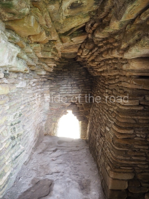
As you climb up to the different levels of the Acropolis, you will have the chance to discover different types of precincts and constructions. Situated at the east end of the first platform is the Palace of the Underworld. This is the sub-structure of a palace composed of 11 bays or vaulted passages which are accessed on the south side only, via three doors with a lintel and stepped vault. The layout is not symmetrical but forms a type of labyrinth in which the passages become increasingly narrower and darker; the only source of light comes from two small cross-shaped openings on the south facade of the palace. Structures of this type may have been associated with initiation rites for governors, during which contact was established with the gods or the governor’s ancestors through bloodletting rituals, and they may therefore have represented a symbolic entrance to the underworld. Other examples of pre-Hispanic labyrinths have been recorded at Yaxchilan, in the Usumacinta region, and at Oxkintok, Yucatan. Situated on the third platform is an imposing stepped fret, the symbol of the wind, and next to it a short free-standing stairway culminating in a throne decorated with hieroglyphs, leading to the palace area. The entire eastern section of the Acropolis, which is not open to visitors, was used throughout several dynasties as the residential area for the local elite, marking a clear division from the western section which appears to have been used for administrative and/or public affairs. In general, the different palaces adopt a similar layout, with the rooms opening onto a central quadrangular courtyard. The rooms were originally ornately decorated with polychrome stucco reliefs depicting historical and mythological scenes. The central part of the fifth platform was probably a necropolis because several tombs of important dignitaries, possibly members of the ruling class, have been found in this area. On the seventh and final platform of the Acropolis are several pyramid temples from the top of which visitors will gain panoramic views of the valley. The best preserved structure is the Temple of the earth monster, thus called because the middle of the stairway was decorated with a giant, open-mouthed mask with a stone sphere inside, possibly representing the sun emerging from the underworld at dawn. In this temple it is possible to see how the stepped vault resting on thick masonry walls was built, culminating in a perforated roof comb reminiscent of the Usumacinta style; another interesting element is the presence of an adoratorium inside a second bay, not unlike the ones in the Cross Group at Palenque. At the beginning of the 10th century AD, during the Chenek phase, the site was affected by the Maya collapse and the widespread abandonment of the Maya lowlands; there are clear signs of the arrival of foreign groups who settled at the site, looting the tombs and destroying the sculpted monuments.

Lynneth S. Lowe

From: ‘The Maya: an architectural and landscape guide’, produced jointly by the Junta de Andulacia and the Universidad Autonoma de Mexico, 2010, pp453-459.

Tonina

Tonina

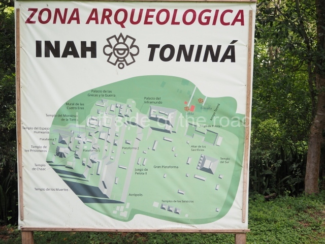
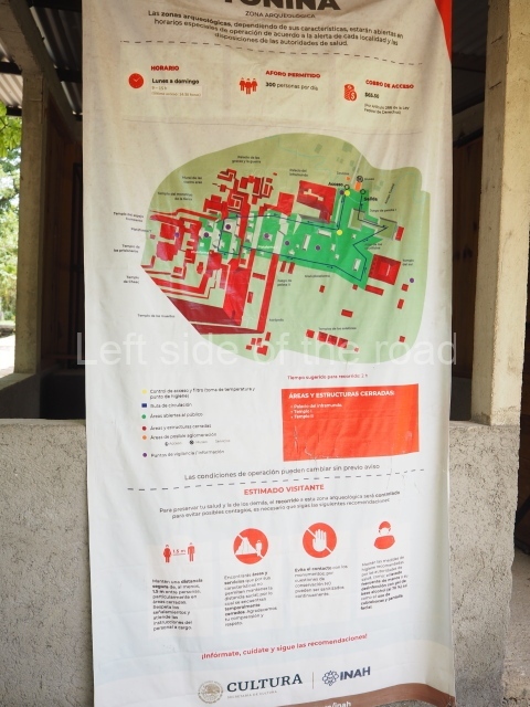
  1. Great Plaza; 2. Ball Court; 3. South Temple; 4. Great Acropolis; 5. Palace of the Underworld; 6. Palace of the Jaguars; 7. Mural; 8. Temple of War.

Getting there:

From Ocosingo. Colectivo to Toniná from Azucena/Periférico Oriente Sur, in the middle of the busy market area. M$25 right to the site entrance. If there is a delay in a return combi walk back up the road a kilometre to the next junction. Here there are all kinds of transport options going back to Ocosingo, just flag down everything that passes.

GPS:

16d 54′ 07″ N

92d 00′ 34″ W

Entrance:

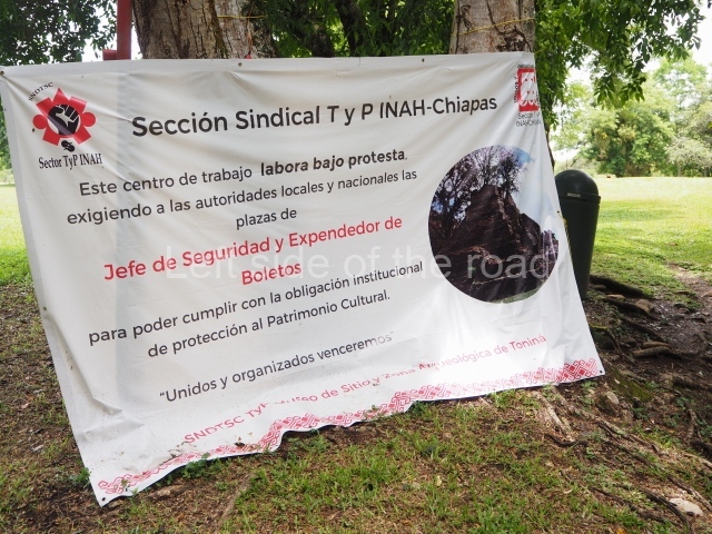
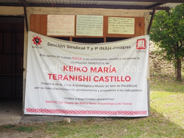
It displays an entrance of M$75 but I wasn’t charged. There’s a labour dispute (summer 2023) so that might account for it.

More on the Maya