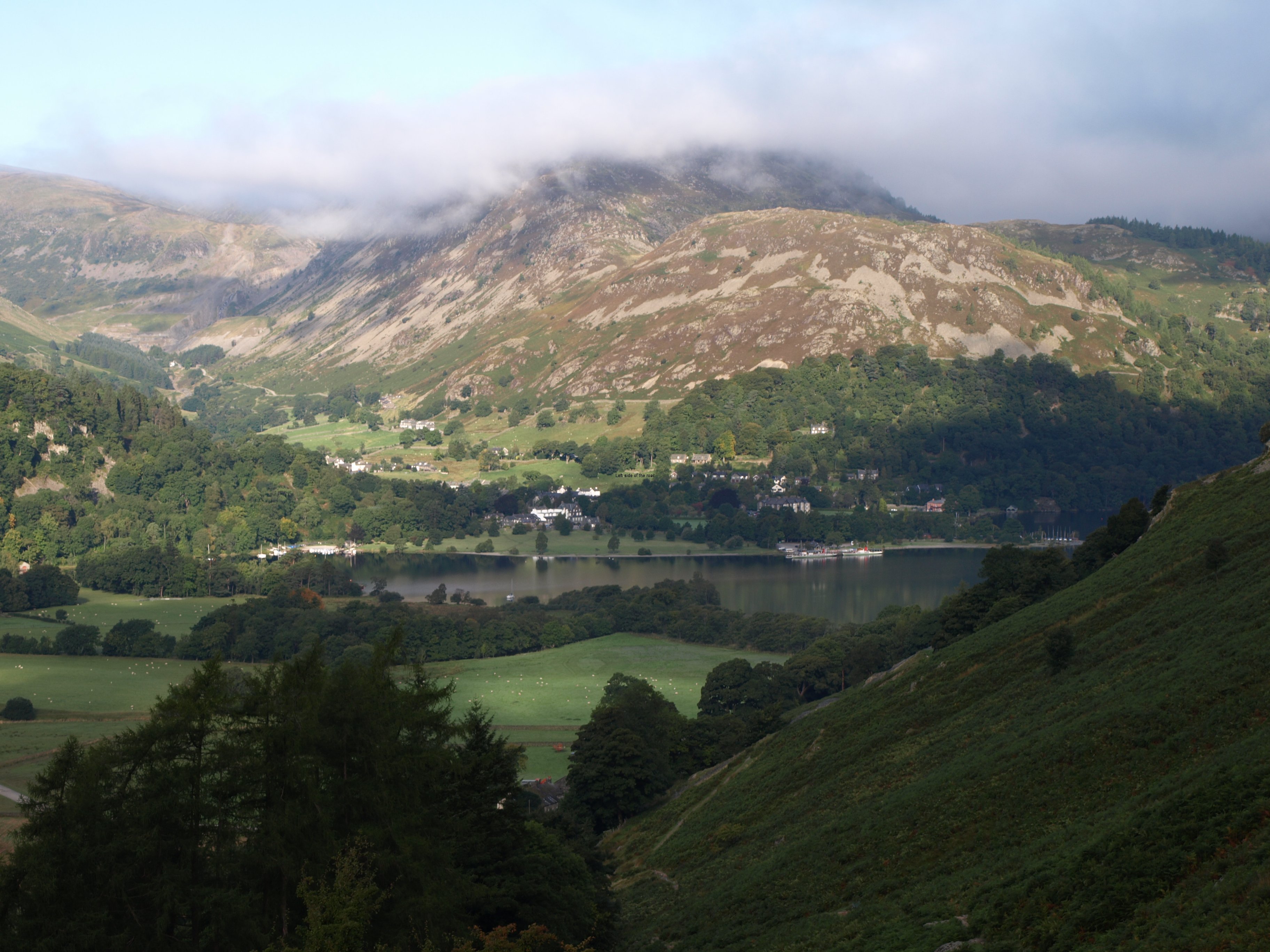
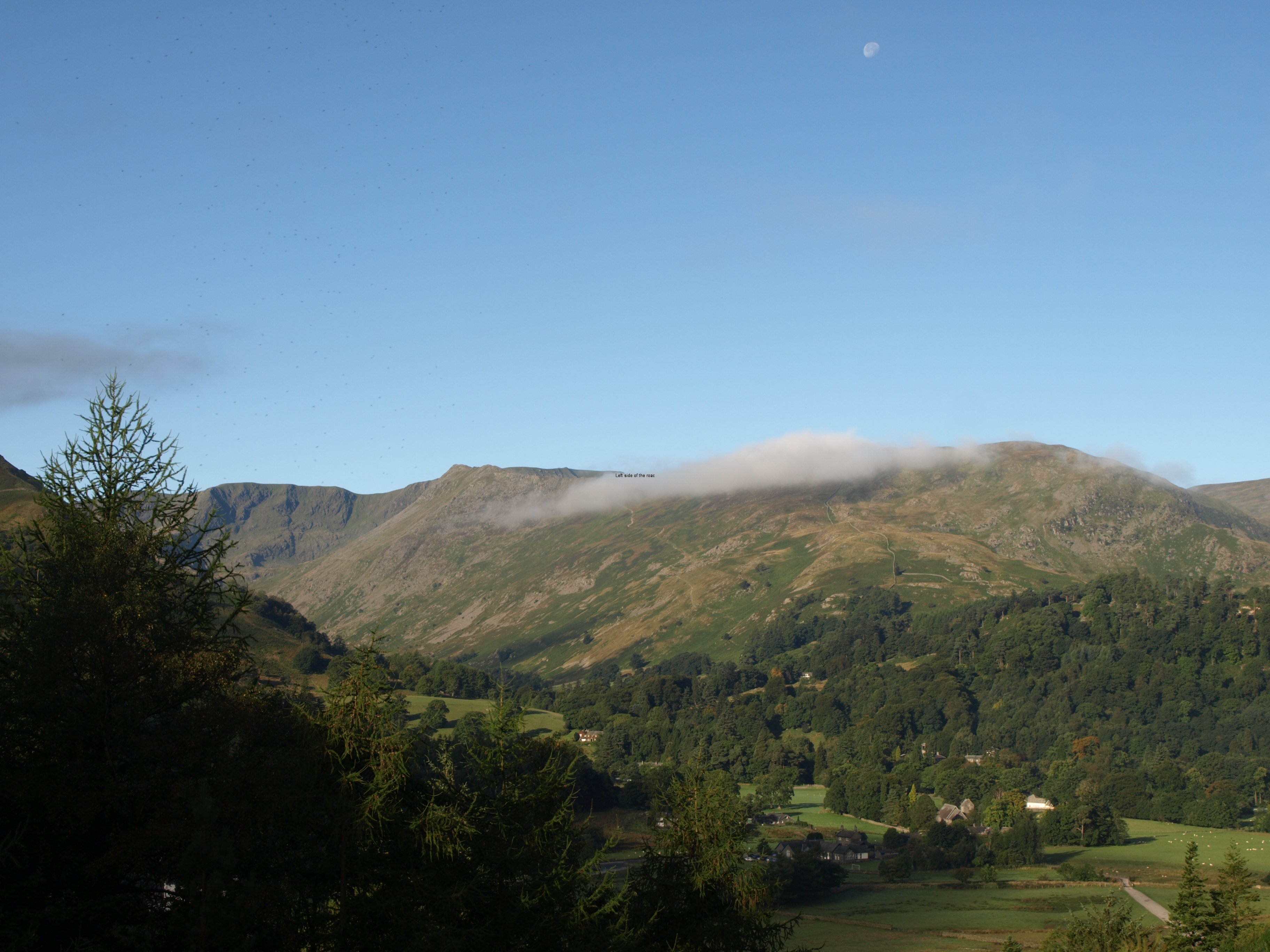
Coast to Coast – Shap to Kirkby Stephen

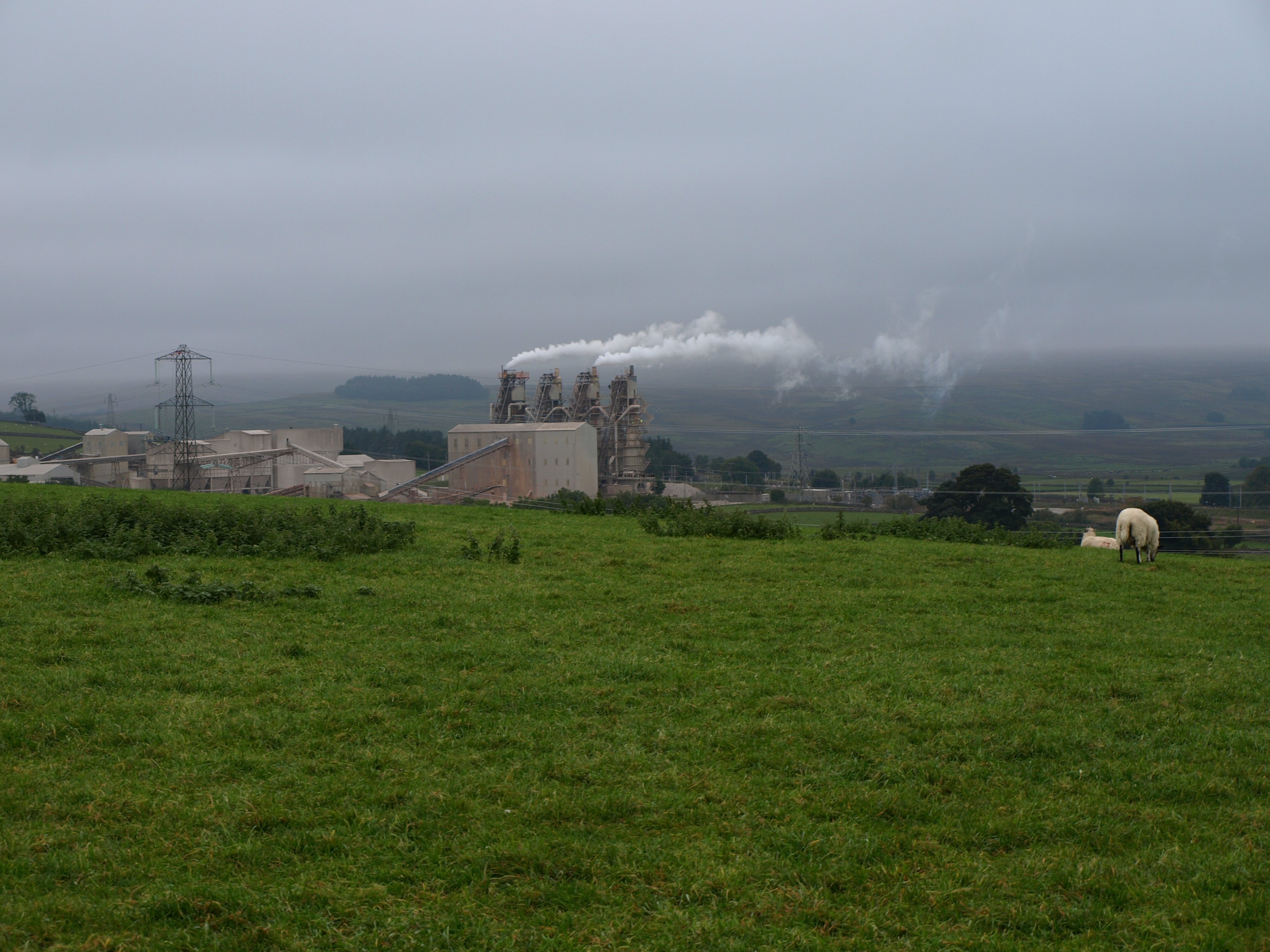
Shap Cement Works

Shap Cement Works

More on Britain …

Chapter 7 – Shap to Kirkby Stephen

The Long March

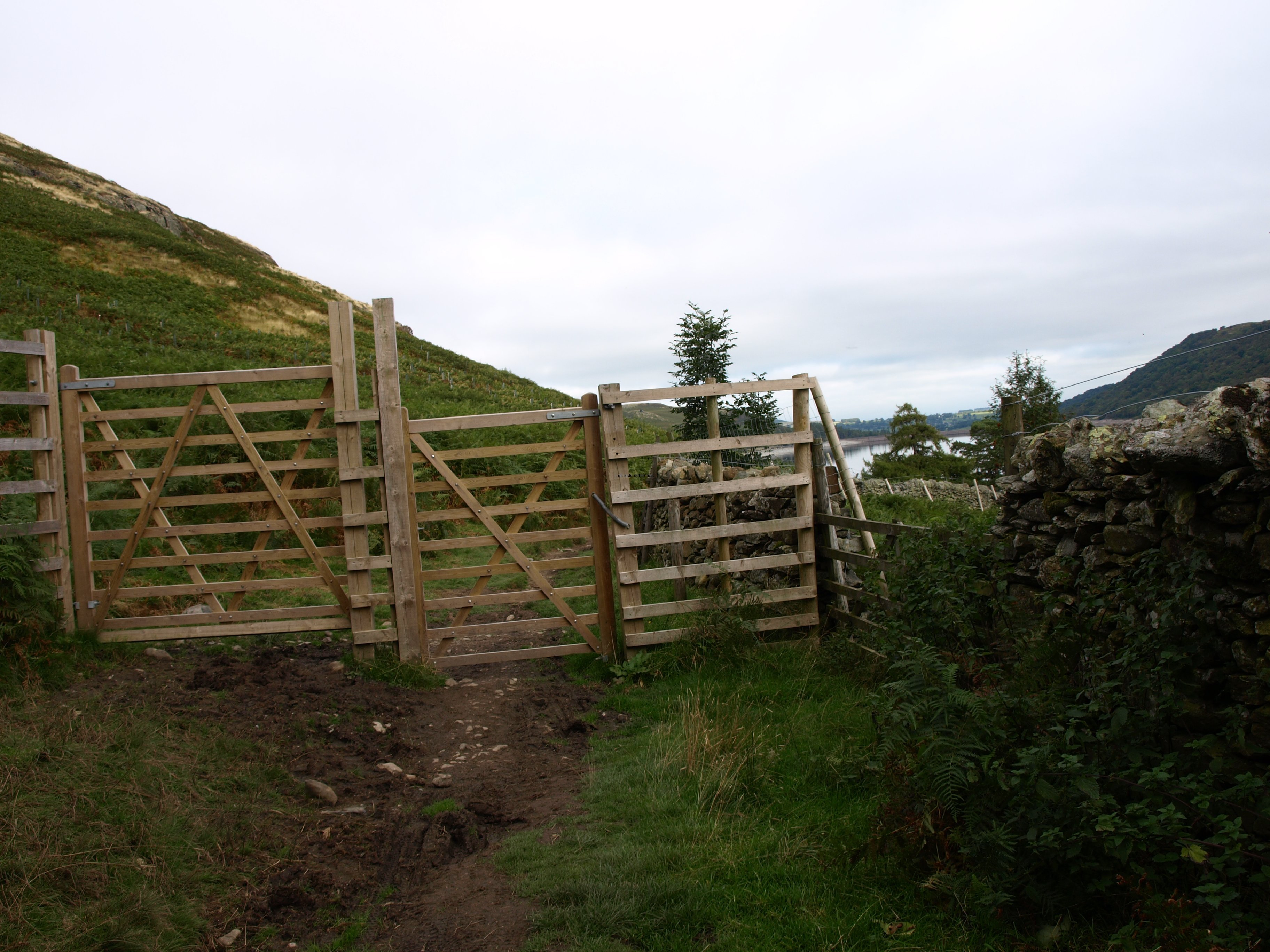
This was going to be one of the longest, if not the longest of days in terms of distance. Twenty one miles, over moors so it wasn’t exactly flat as there were countless little hills and hillocks that had to be crossed. There’s another long day after Catterick which does indeed look more like ambling along through level fields – but we shall see.

Now the 6th day of walking and I thought that I should resort to chemicals in order to alleviate the swelling in the knee. When I did my two day reconnaissance earlier in the year I was pleased that even with a full backpack the poles seemed to have protected the knees. But that was only two days. Things are different when the pounding goes on for longer. The body’s natural pain killers help but not completely so before leaving Shap I sought out an anti-inflammatory. Directed to the Health Centre pharmacy at first I went there only to discover that it only dispensed what the doctor had ordered so had to resort to the Co-op supermarket. Don’t know if it was the most appropriate but it seems to do its job, not in completely doing away with the swelling but in mitigating the effects of all these thousands of footfalls. I now realise why athletes take drugs – it doesn’t hurt so much.

Shap is a strange place. It’s a very quiet village based around one main street that basically runs north to south. Yet very close is the main west coast railway and running parallel to that the M6. Although with the lay of the land you don’t see the railway – but hear the rush of the Virgin trains as they speed along – and the motorway noise isn’t obvious until you’re close to it and you sound leave it behind as you head to the moors to the east.

Weather wise it was a strange day. It was overcast and grey throughout (although the sun did break through for about 45 minutes around midday) but still very warm. In fact the weather has been surprisingly warm all the trip so far. Before leaving there were predictions of an early cold snap and I thought I would be in thermal underwear for many of the stages but it’s been T-shirt and shorts all the way. No sun, even through the clouds, so no tan, but a comfortable temperature nonetheless.

Today was slightly different as there was a reasonably strong and very consistent wind coming from the east. Not cold but annoying. The prevailing wind on this walk is from the west, that’s why most people go from west to east.

Walking into such a wind becomes draining. It’s not the wind battering against the body that makes it tiring, it’s the constant noise. And as the majority of the day was spent on open moors there was little respite. And as I got tired I found that the constant noise started to get annoying, not even allowing the slightest chance of a break.

The worst experience I’ve had of such a wind was in Southern Andulacia, south of Cadiz and close to the Straits of Gibraltar. Because Africa is slowly getting closer to Europe (why it wishes to get closer to Europeans is beyond me. If I were Africa I would be going in the opposite direction) the winds are gradually getting stronger as the wind from the Atlantic is forced through the narrow gap between mainland Spain and the Atlas mountains of Morocco. Sometimes this wind can be consistent and relentless for days on end and it definitely has an effect on the people.

When I was working in Zahara de los Atunes and spoke to the locals about feeling strange after so many days of this wind they told me it was the ‘aire’, the air. This regular and constant rush of air means that Tarifa, the most southerly town in Spain, is famous for two things – the world wind speed record for wind-surfers and as being the suicide capital of country. I survived the winds of the day, probably because I was thinking about how much longer I had to put one foot in front of another.

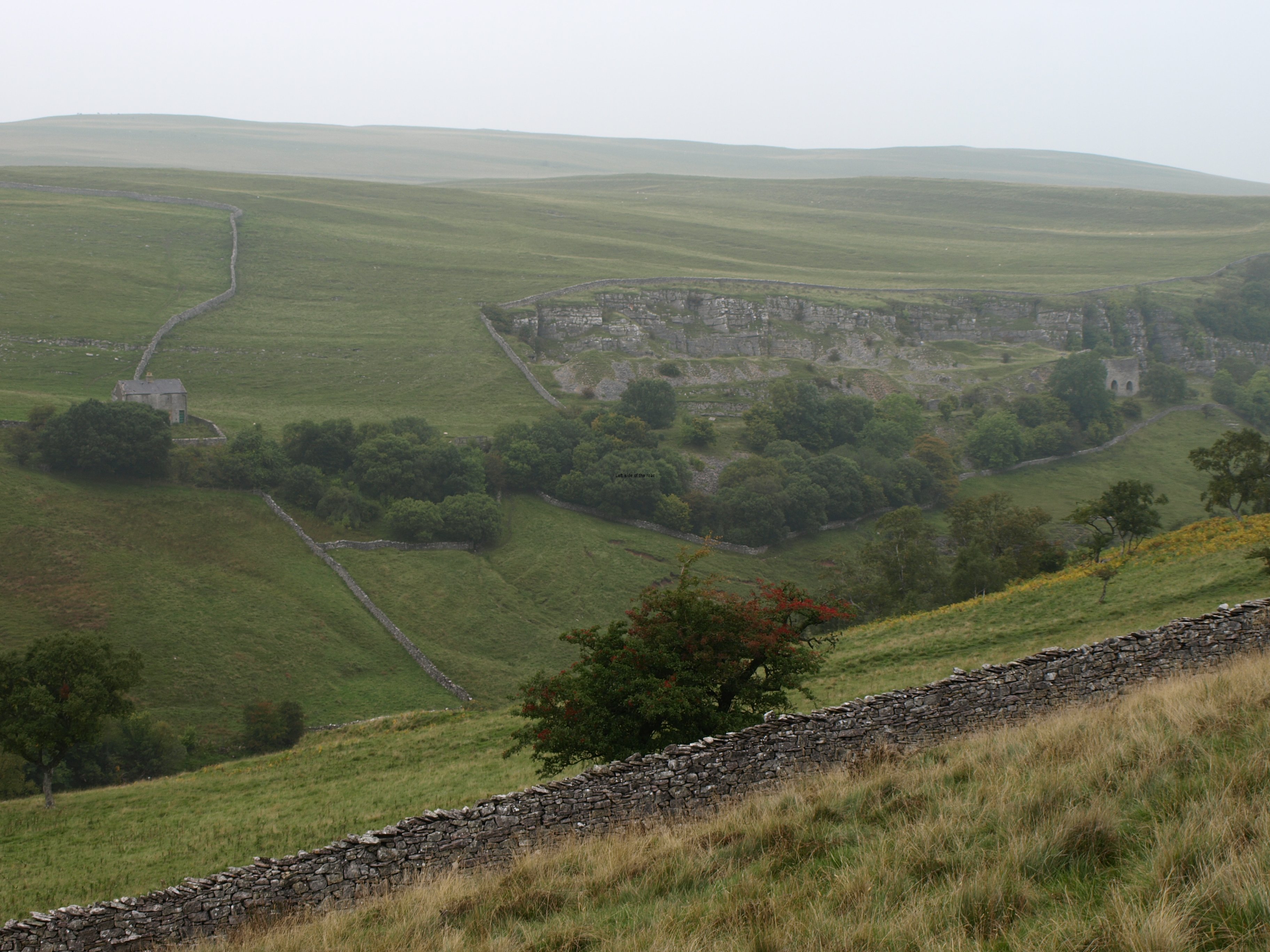
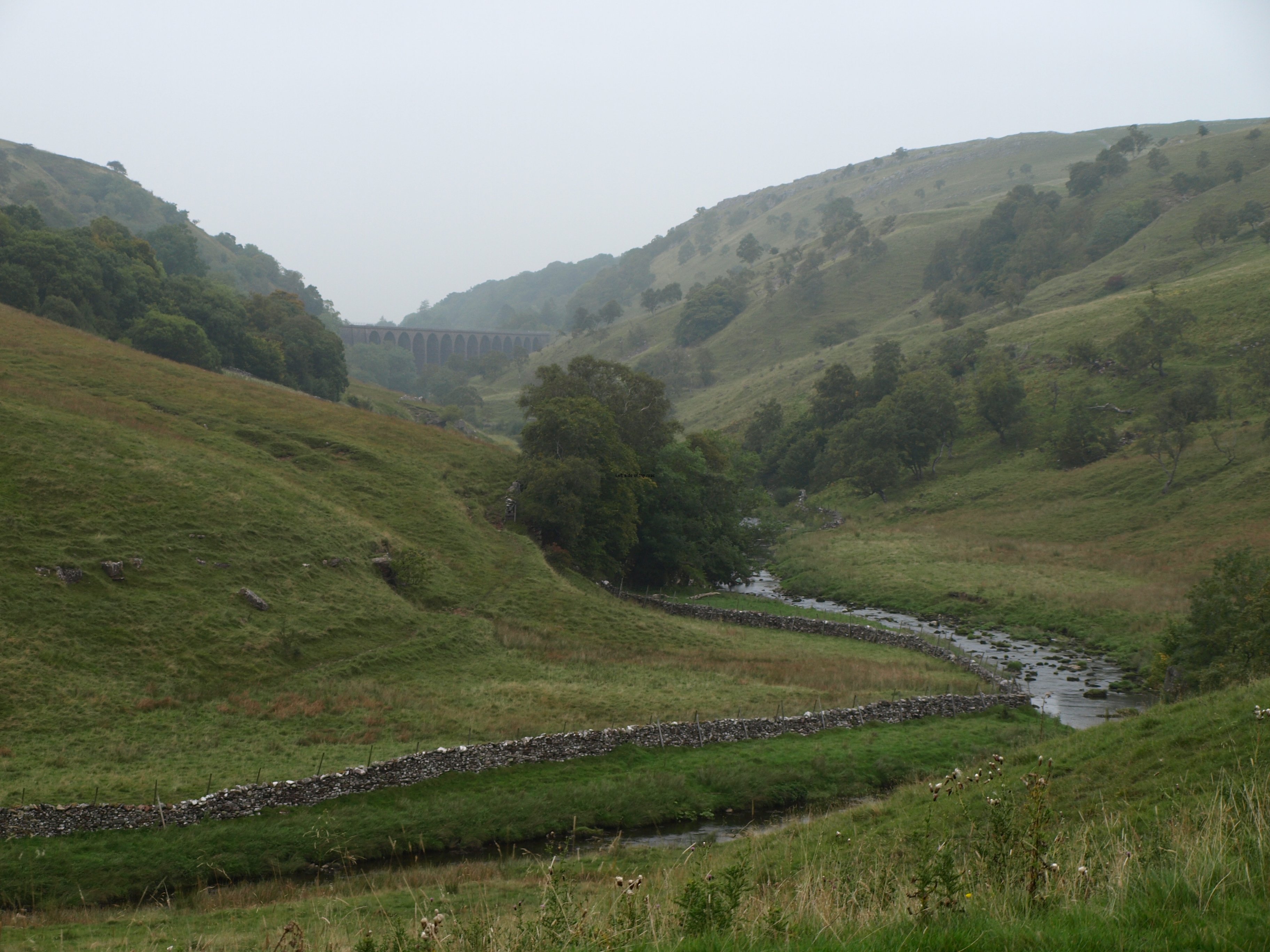
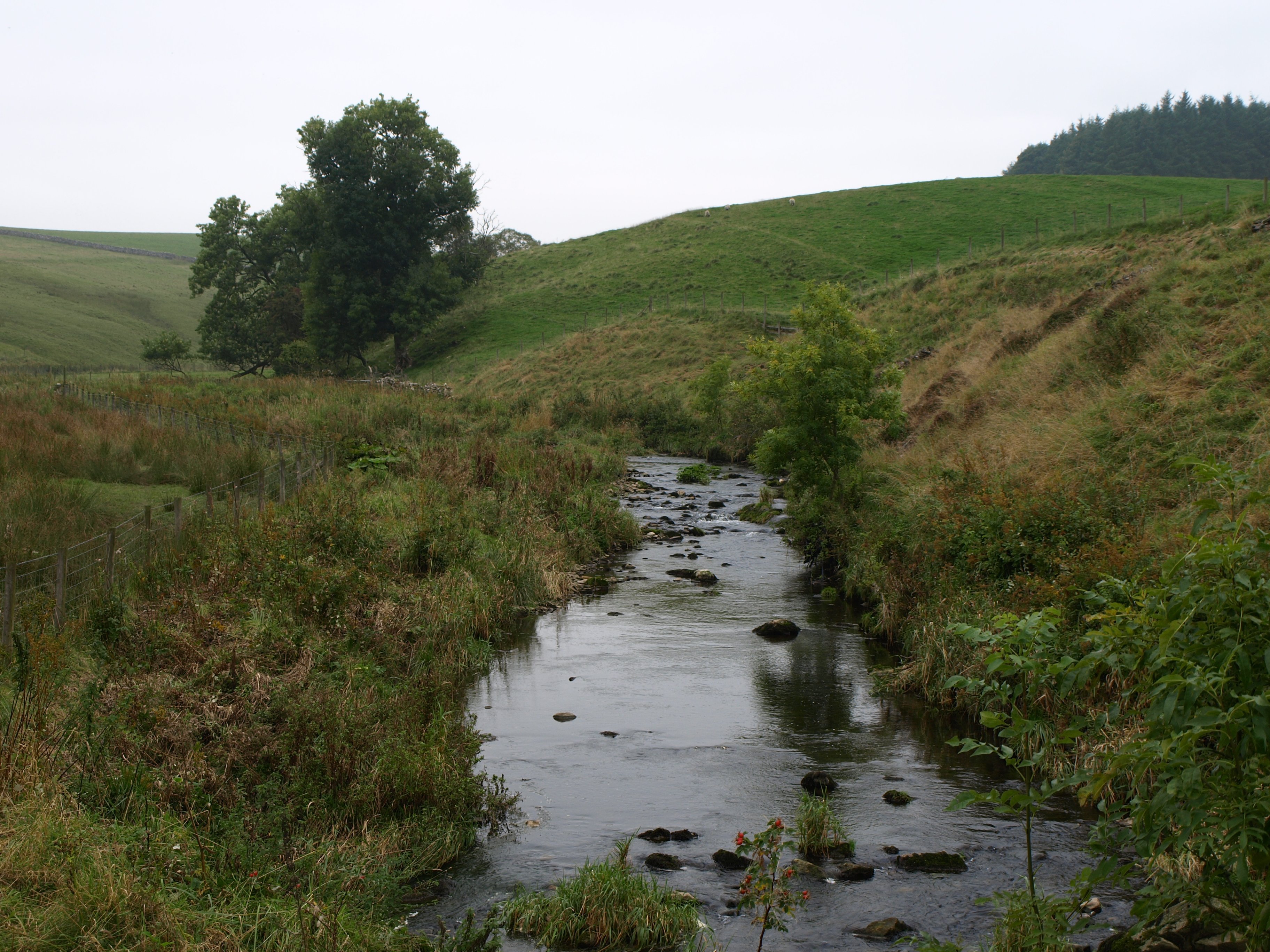
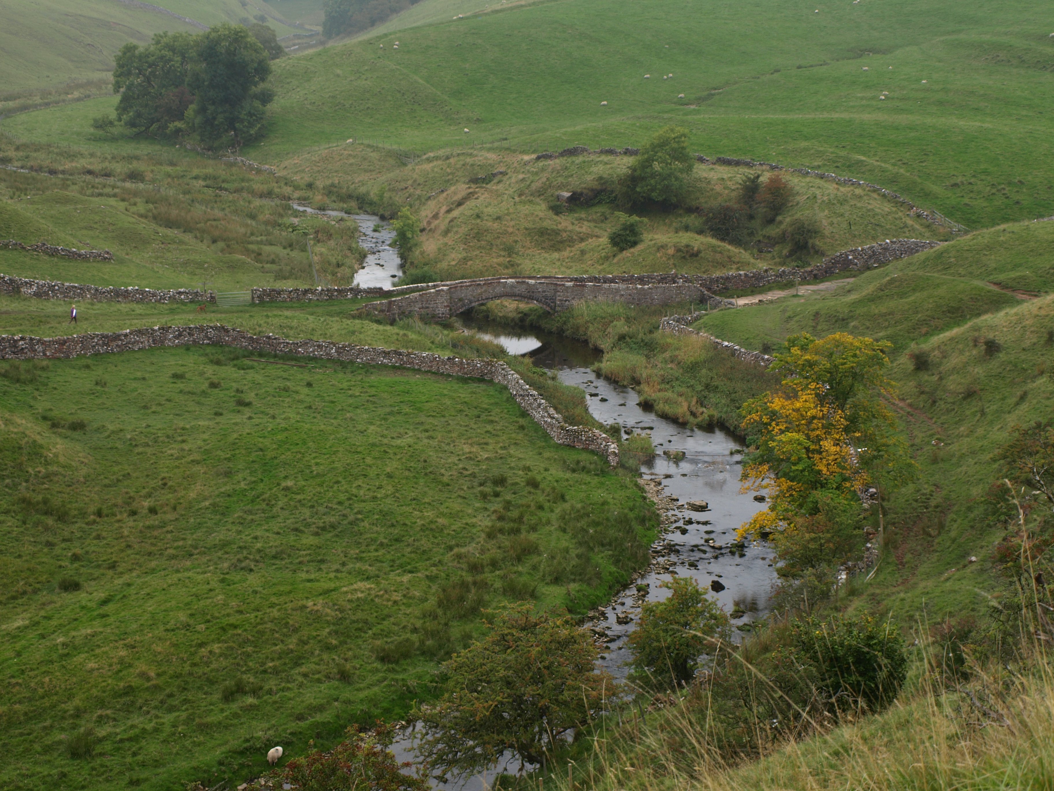
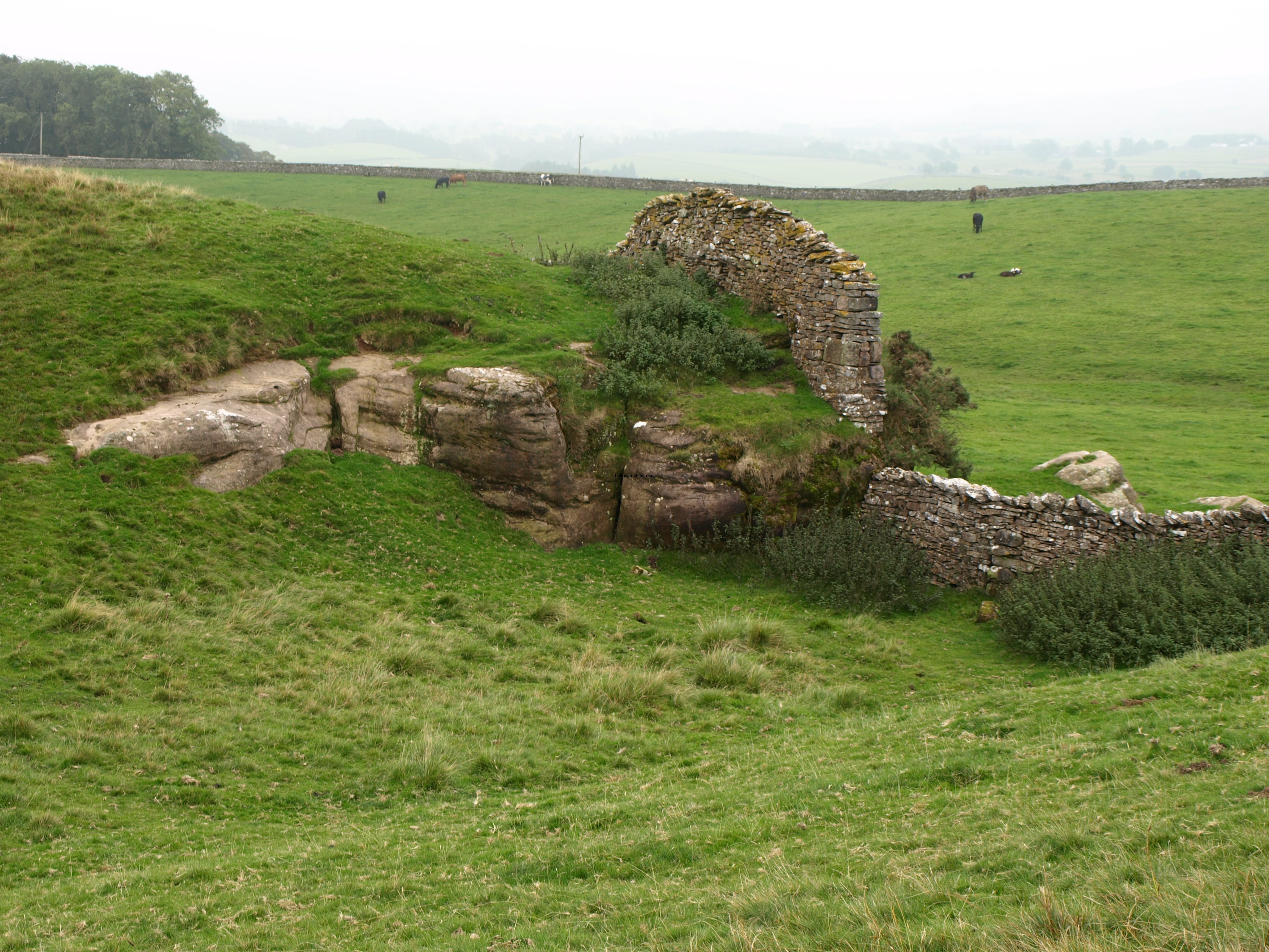
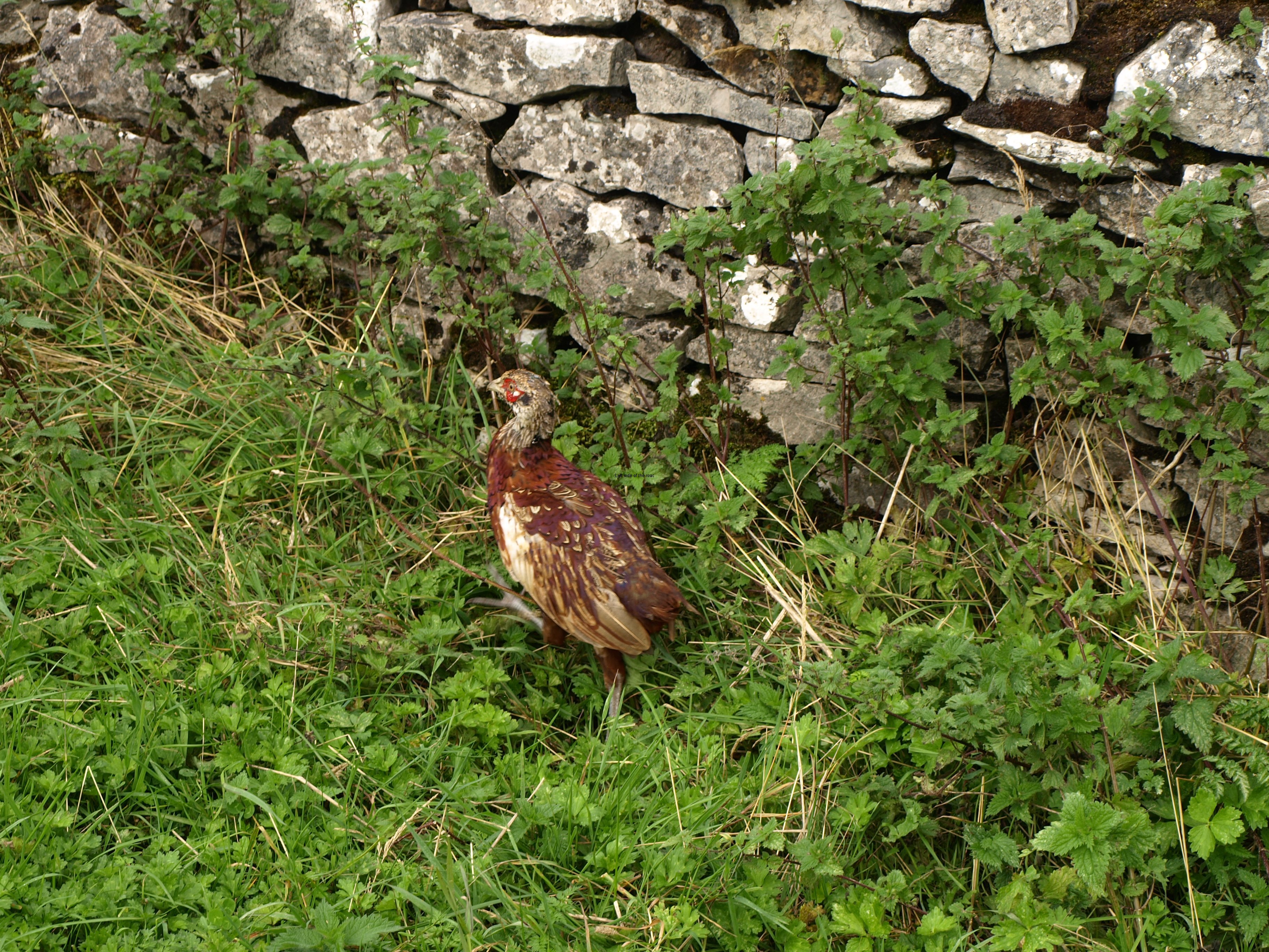
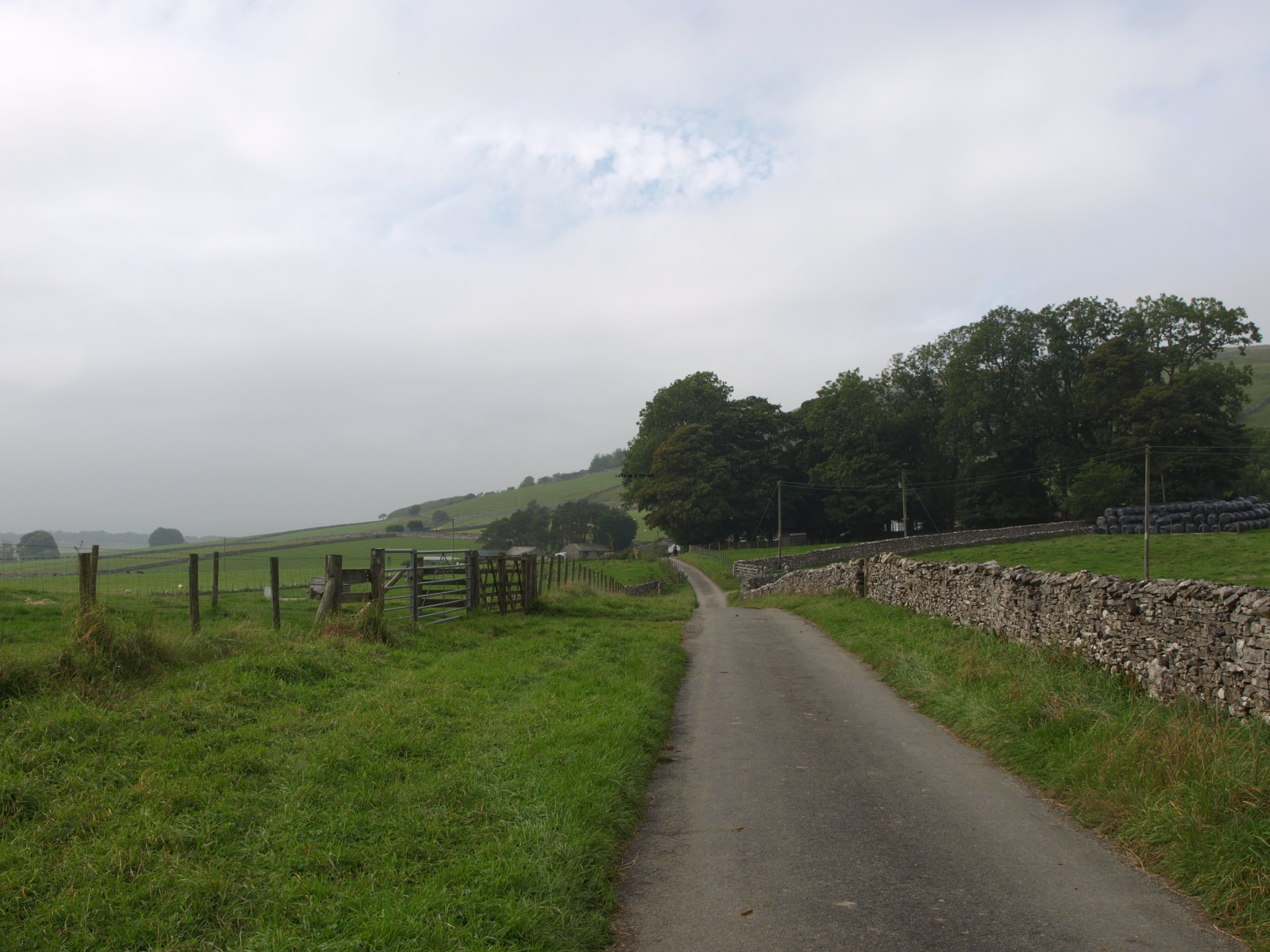
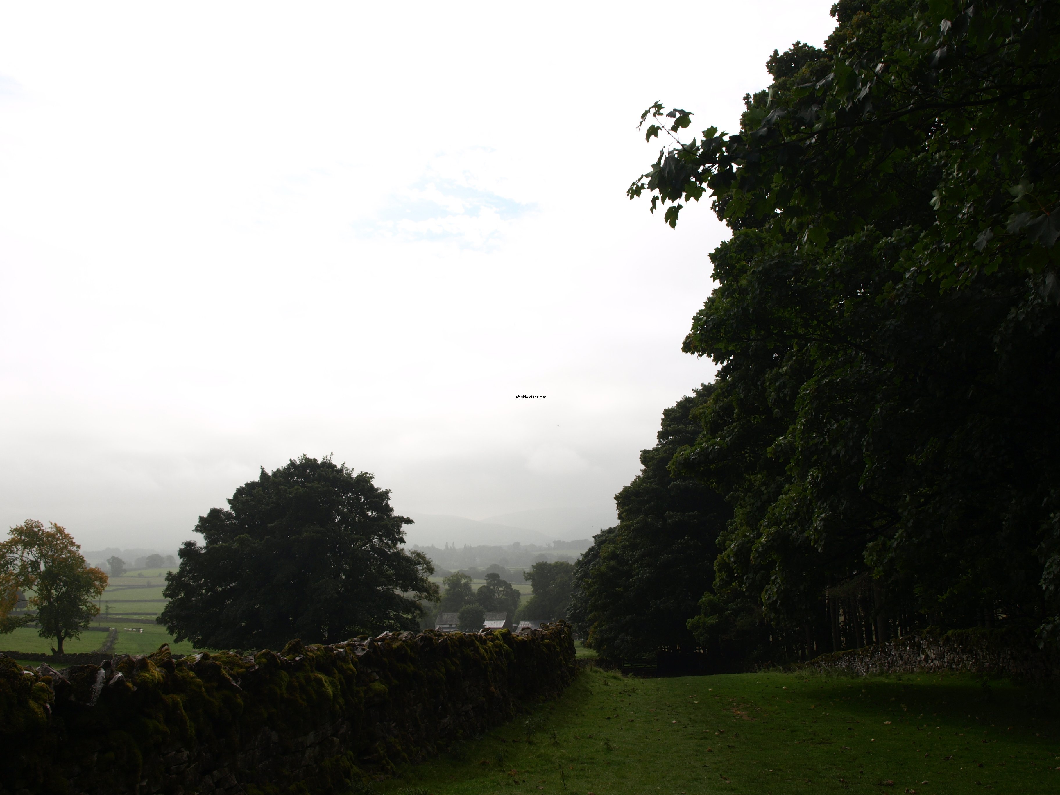
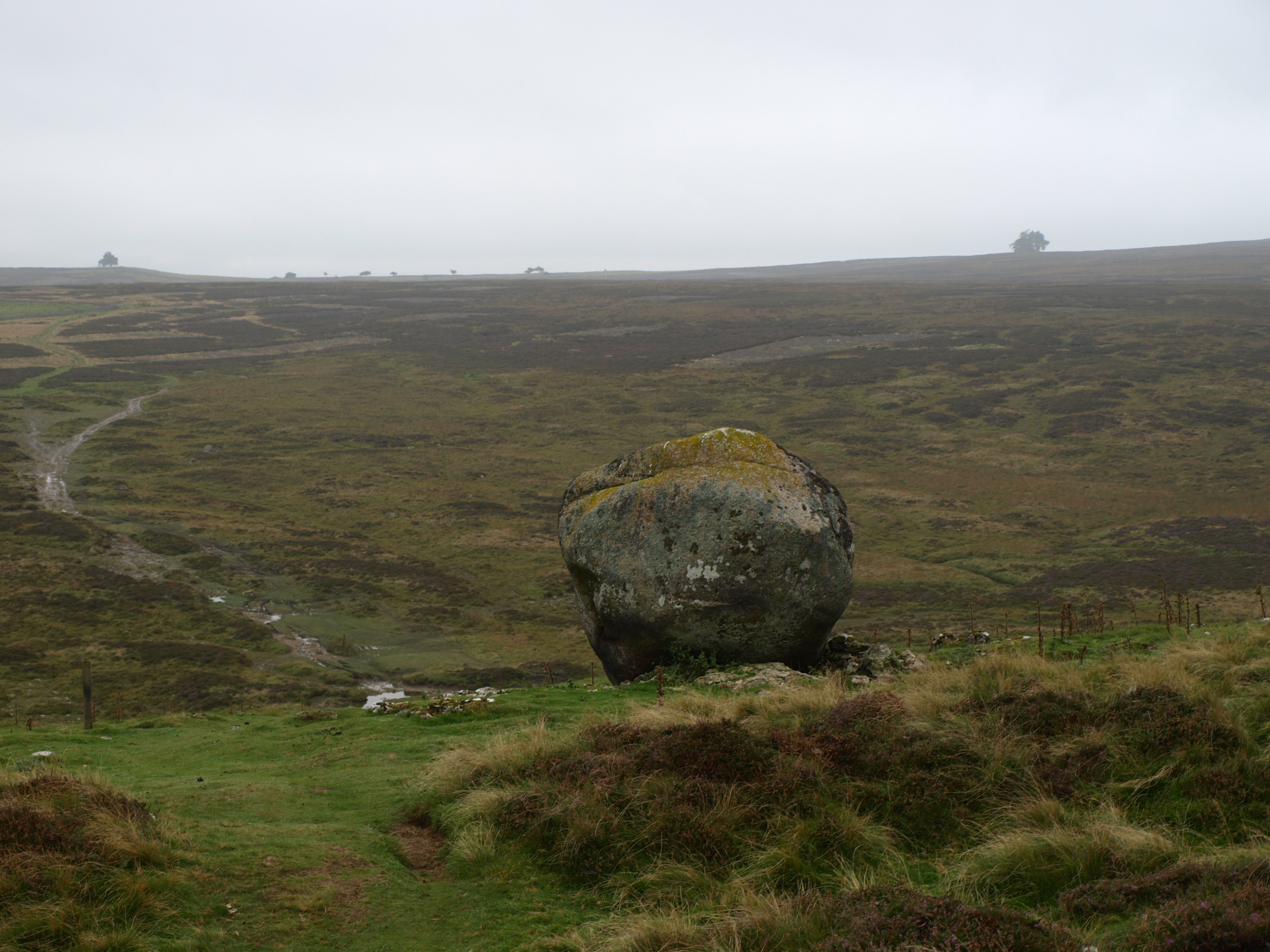
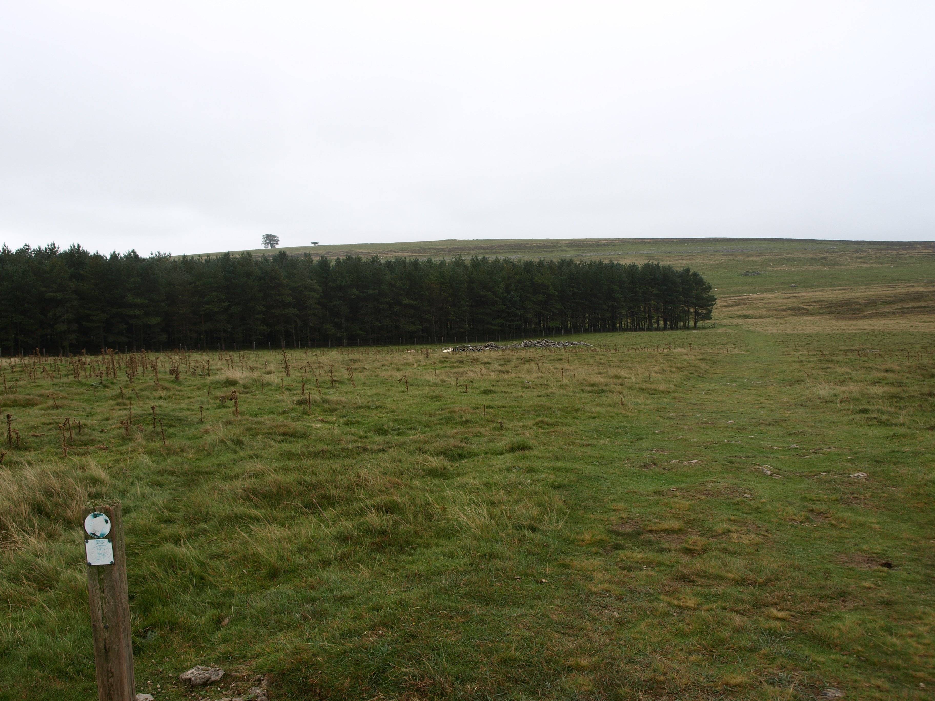
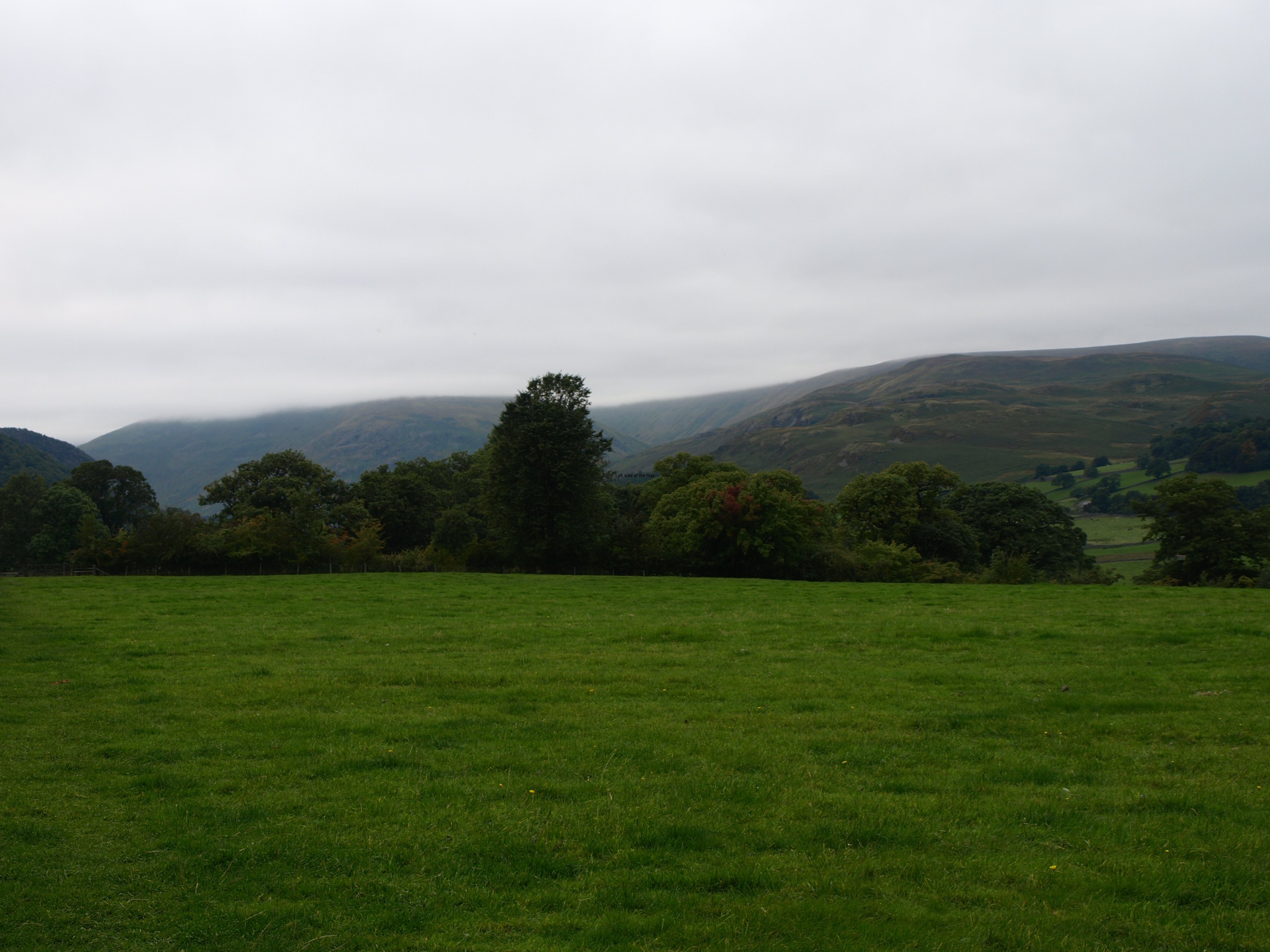
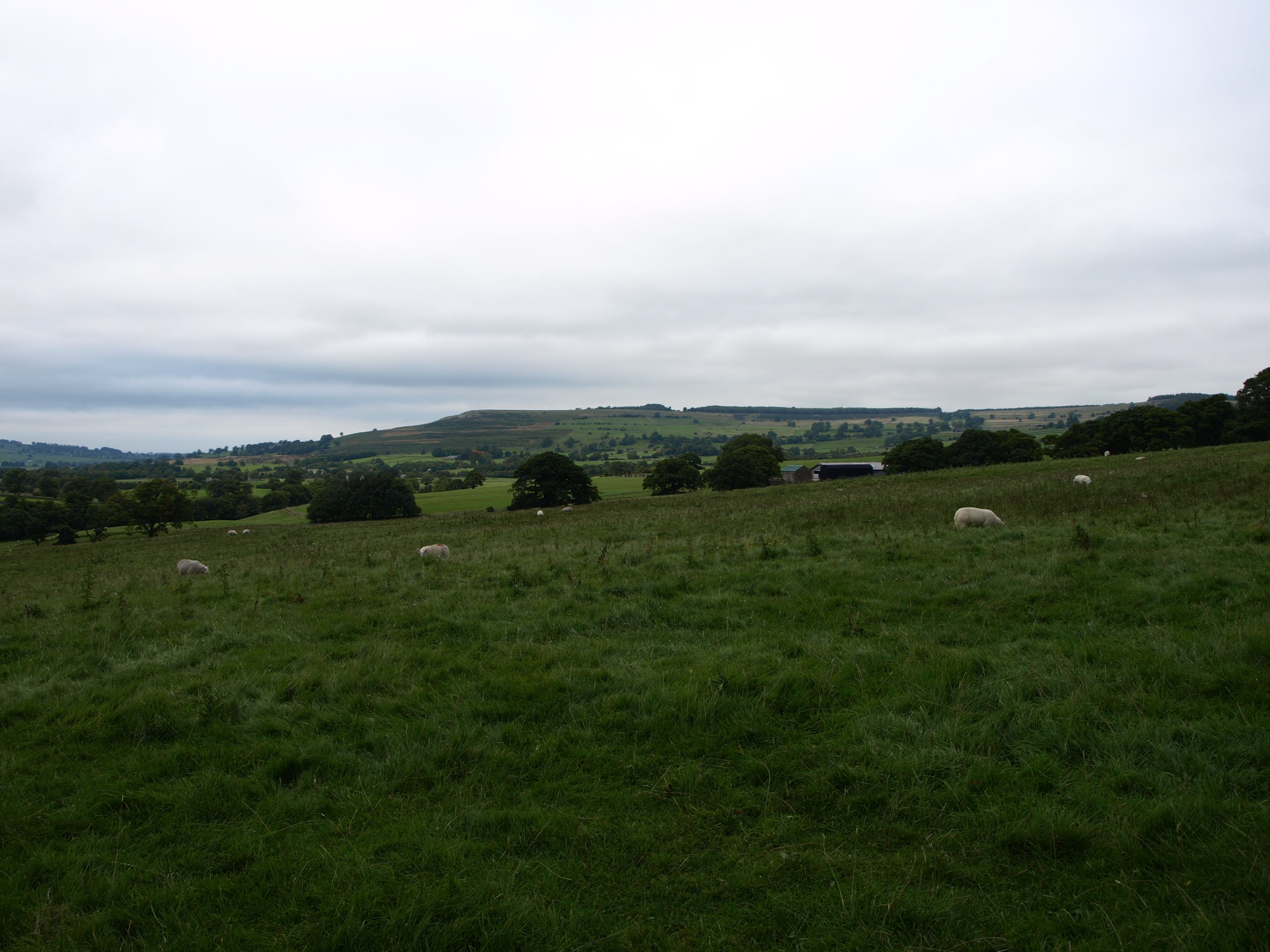
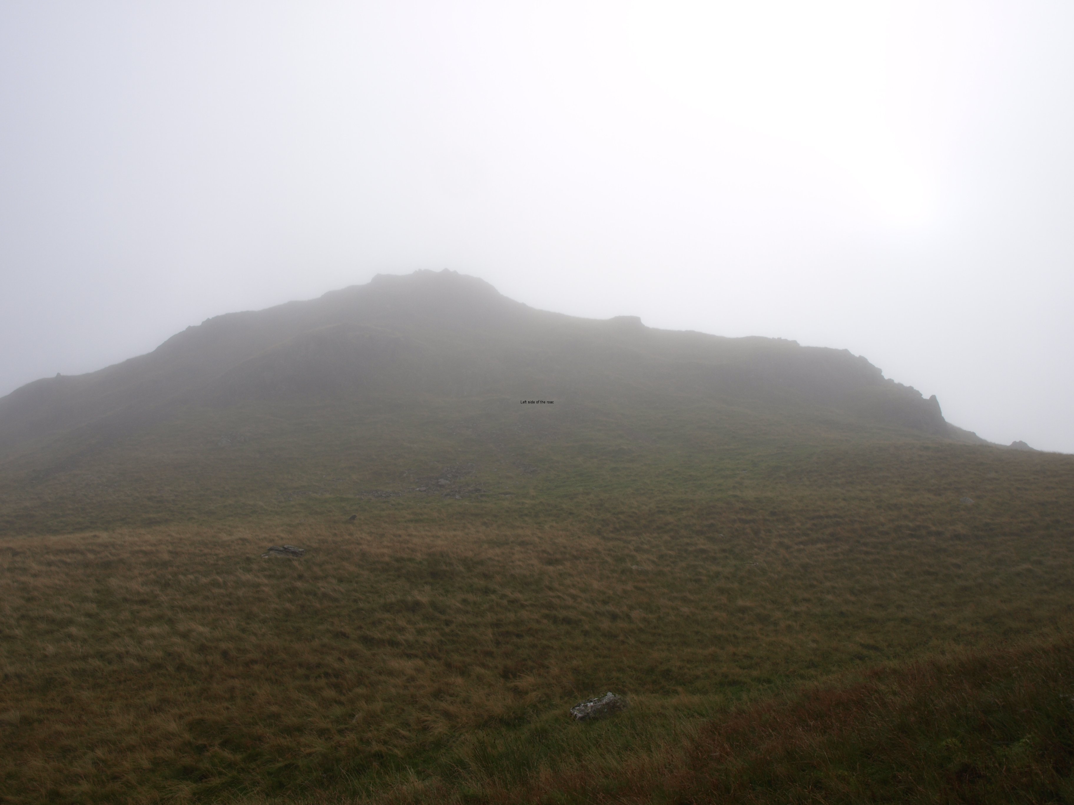
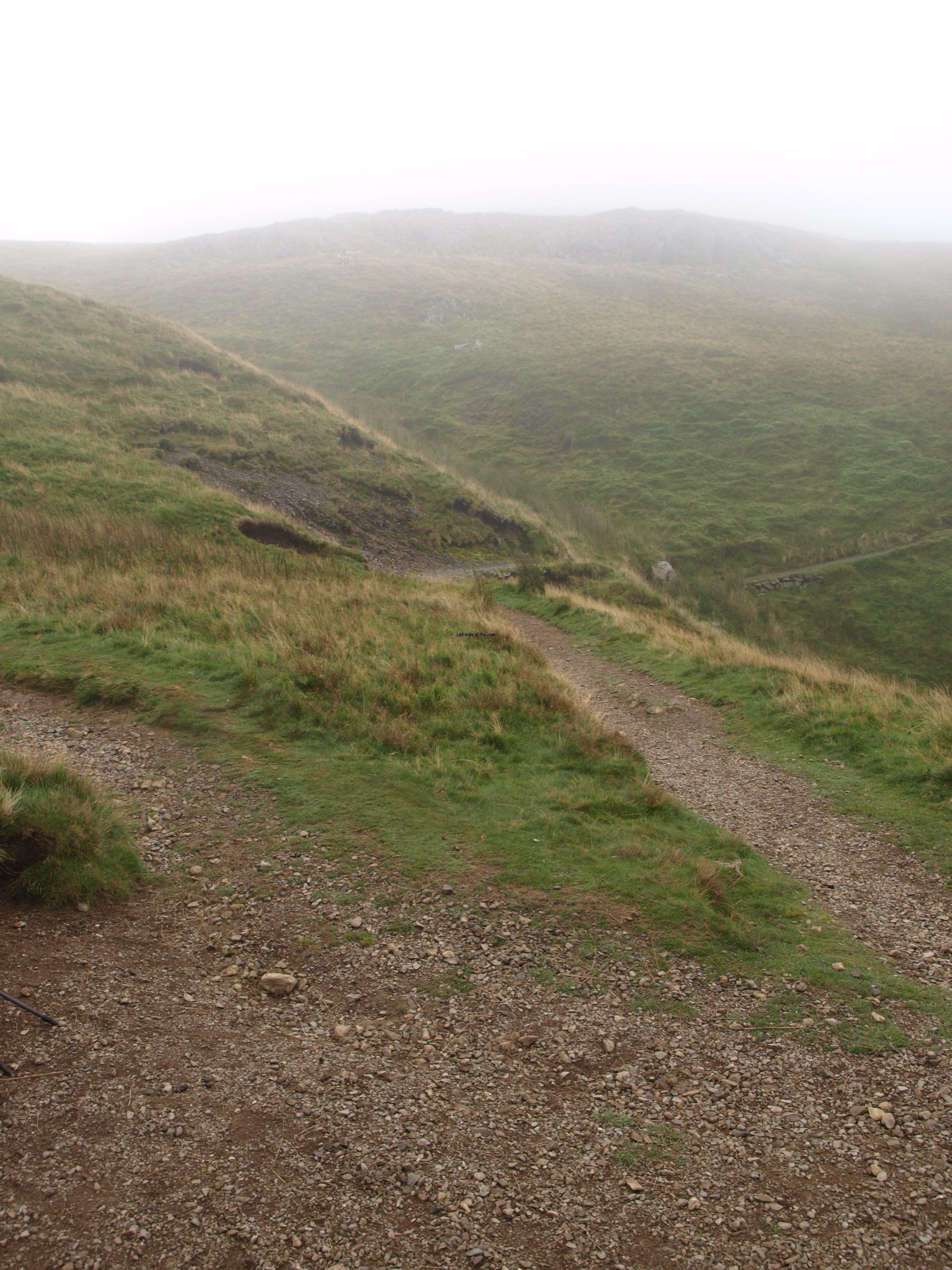
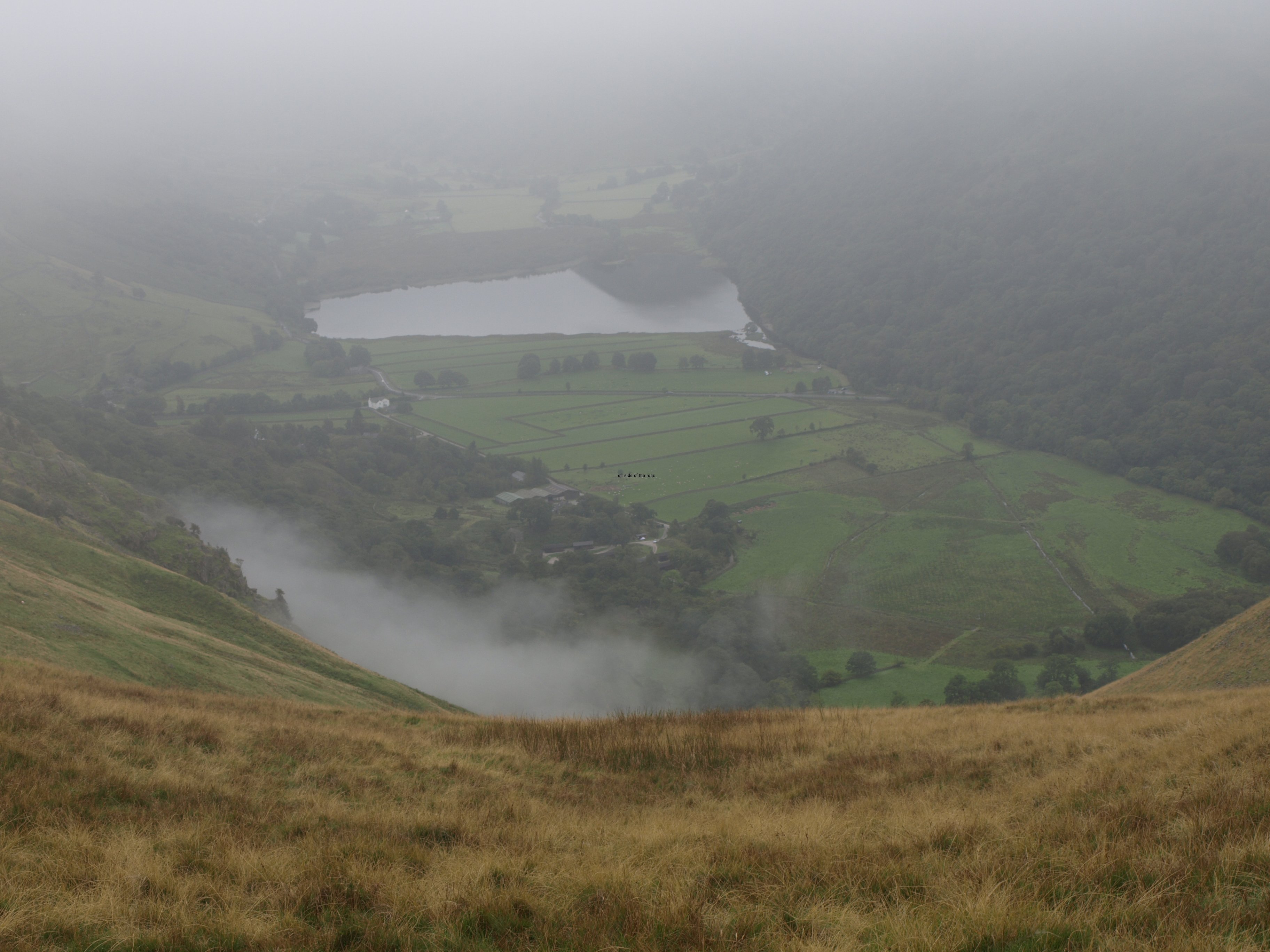
Although on this day there was a mixture of terrain a great deal of the trek was across wild and desolate moorland. Although everything was grey due to the low cloud, even the greens looked grey, at least there was no rain. Although there must have been other people walking I only saw two other ramblers the whole of the day and for hours I saw nothing alive but farm animals and birds. So if I didn’t get the sunshine I would have liked at least I was relatively warm and dry.

Due to good visibility there were few problems of route finding, the book again coming up trumps here. Nonetheless I did keep the GPS handy and there was another point during the early afternoon where it brought me back to the correct path. There’s one junction on Tarn Moor where the direction to go is not clear. Again I used the compass but not concentrating and checking regularly enough ended up taking an unforeseen and unwanted diversion.

The problem of making the decision not to depend upon the GPS means that I might be reluctant to bring it out until a question arises. That is too late, or has been on the 2 occasions I’ve lost my path. I should be more pro-active in these situations if they arise in the future, using the technology to prevent me making a mistake rather than providing me with a solution when the mistake has been made. This might be even more the case towards the end of a long day when tiredness can cause the most basic of errors.

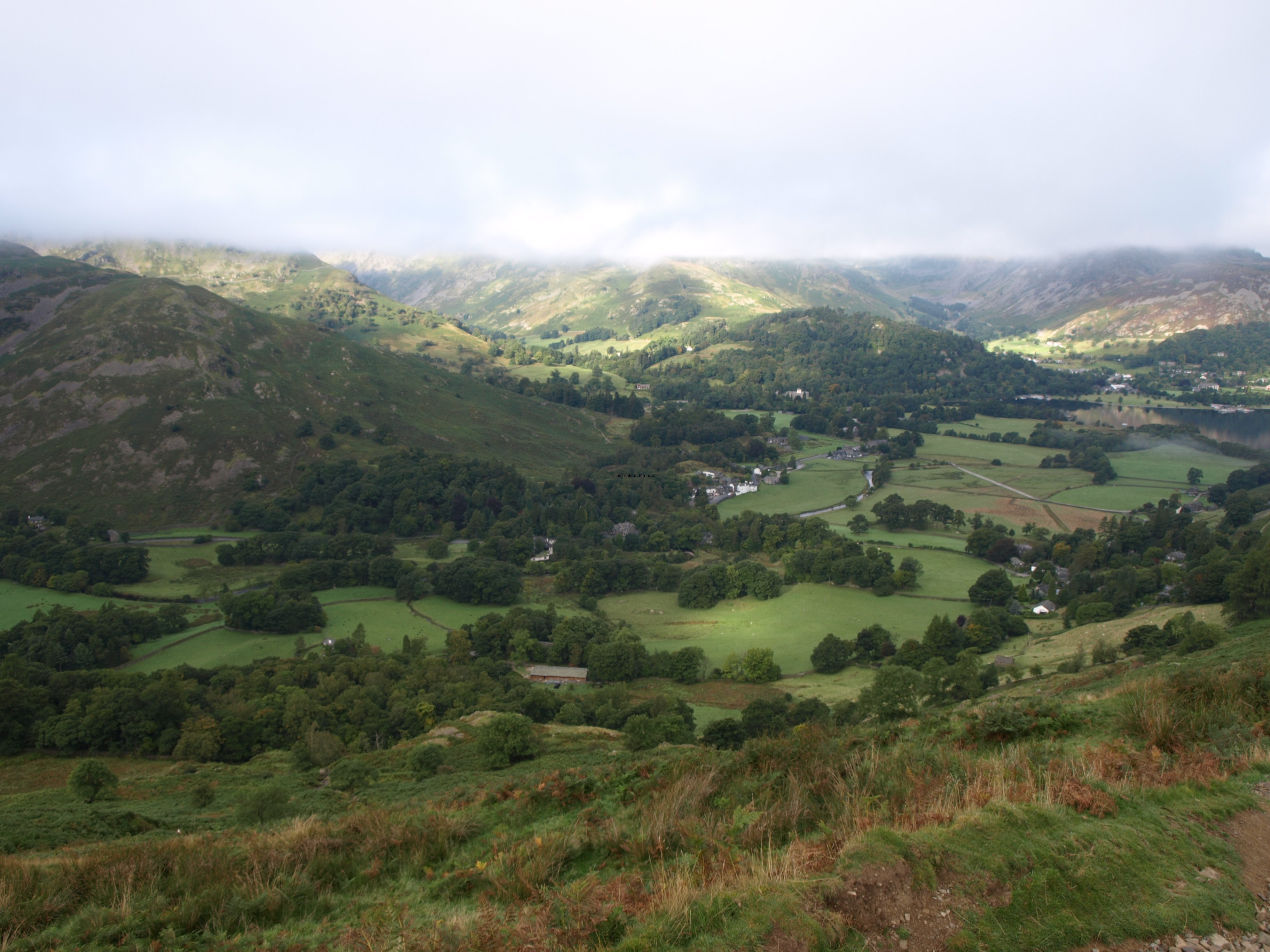
So far, and it seems unlikely to change for the better, it’s been a disaster for photography. Day after day of low cloud and everything very flat. The sun, when it has appeared, has not lasted that long and not at those times when the scenery has been exceptionally dramatic. On one day I took only one picture and kept the camera in my bag to protect it from the rain, which fortunately stopped but even then when it was possible to see some of the lakes the mountains above them were in the cloud and the poor light wouldn’t have produced a result worth the effort of taking the rucksack off my back. That was the second full day of walking and since then have taken pictures merely to justify carrying the camera and its accessories. It looks like I’m unlikely to win any photographic competition prizes after this particular trip.

So another hard day. Didn’t find it much easier than yesterday when a steep ascent and descent were the order of the day. As with the Kidsty Pike walk fatigue effected the timings. All was quite spot on for the first 5 hours but started to slip for the second four. At the same time doing the walk in 9 hours I thought was more than respectable, so I’m happy about that. The trouble when it becomes a trudge any ‘enjoyment’ just disappears. Hoping that the next rise will give you a view of your destination, when if you thought clearly you would realise that it’s still a kilometre or two away, doesn’t do a great deal for morale.

Have started to encounter casualties of the walk. A couple who took a very long time to get from Patterdale to Shap the previous day decided to abort the long day from Shap to Kirkby Stephen. The guide book is reasonably accurate, but the timings are really for people who are at a fairly high level of fitness and not carrying too much baggage. But talking to them they had definitely made the correct decision as if I found it hard they would have found it hell. To avoid this a number of people I’ve been meeting from time to time have divided what I have done in two days into 3 sections. That does seem to make sense although I think one reason I didn’t pursue that option was the lack of suitable accommodation at the overnight stops. If I could have got in it would have cost an arm and a leg due to travelling by myself.

I want to write something on travelling alone, mainly stressing the advantages, but finding somewhere to stay that doesn’t add considerably to the cost is one of the down sides of doing the Coast to Coast alone and is unlikely to change at any time in the future.

It’s on long days like this that you start to ask the difficult question of why. Why put the body through such torture and stress? Why keep on going over these featureless moors? Why climb all those stiles that always get higher as the day gets older? Why not stay at home with all the creature comforts? By the time I’d arrived in Kirkby Stephen I had stopped asking those questions but I’m sure they will come up again before arriving at the North Sea.

The town itself is not very exciting, although the biggest place I’ve stayed in so far. Went to the chippy to find that they were all closed so ended up with a snack from the supermarket and a couple of Czech beers. Not out of choice. It seems that no one in Kirkby Stephen drinks cold cider even though the nominally cold cabinet has a huge selection of the various types, even those fruit ciders (wherever that bizarre idea came from I’m sure I don’t know), but all at room temperature.

As I lie in my bunk, there’s no one else in this room – the hostel is very quiet, only 6 people apart from myself, I can feel my feet tingling. Not in an unpleasant manner, but definitely not usual. They are glad to not be bearing my weight and that of my bag.

So at 18.30 on Tuesday 24th September it was 85 miles down and 115 to go

Practical Information:

Accommodation

Kirkby Stephen Hostel

Used to be a YHA hostel but was sold a few years ago in a controversial sell off of assets. Lucky I got there when I did as the warden was about to leave, meaning that I would have to call her to get in – and this was at 18.30, not something I would have liked to have done after such a long day. Didn’t seem to know that I had booked a full breakfast. The place feels tacky and run down and not up to the standard of the YHA places I’ve been too. So much for bringing in the ‘private sector’. There’s nothing that makes it better than YHA hostels.

Paid £20 for the bed in a dorm (although I had the room all to myself) and £6 for a full, cooked breakfast – but not worth it.

Has free wifi but it doesn’t work in all the rooms/dorms but does work well in the communal/dining area.

It’s a ‘conversion’ of a church into a hostel – but it just doesn’t work. The high ceilings make for very strange results. Have seen a couple now and the atmosphere it creates is far from warm and welcoming – churches were not designed that way.

More on Britain …

Previous     Next

Coast to Coast – Patterdale to Shap

View from Kidsty Pike

View from Kidsty Pike

More on Britain …

Chapter 6 – Patterdale to Shap

The day with a big climb and a lot of miles

It wasn’t easy re-starting after a free day – although it wasn’t much of a free day in the sense of relaxing as I spent most of the time on the computer, and that might be considered as much as a working day as anything else.

Weather looked promising, not as positive as the day before but the cloud was lifting off the hills and as this had been the start of the previous day which had worked out well I had high hopes.

The time off walking had also allowed me to prepare my injuries and reinforce my weaknesses. In that way I left the hostel bandaged as if ready for an audition for a budget ‘Invisible Man’ or a ‘Mummy whatever number, the Return Yet again’ film.

As I was leaving a French woman, who had been staying at the hostel, asked if I was enjoying the walk. I answered she should ask me at the end of it, not what she was expecting, I think. I’m not sure, but some people consider it an obligation to enjoy these type of expeditions. If you are not positive then there’s definitely something wrong with you. Assuming I reach the end I will definitely have a sense of an achievement, but enjoyment? I’ll try to address that when I’m at the hostel close to Robin Hood’s Bay, or a bit later when back in the comfort of my own flat.

Back to the walk to Shap.

This was a bit of a landmark day in that it was when I would leave the Lake District behind – not that I had seen much of it – and it was also likely to be one of the hardest as it involved the highest single climb so far, with a steep descent down to the lake, and a total distance of something like 16 miles. And everything looked good as I left.

However, with a 9 o’clock start and arriving at the B+B at 18.15 I hadn’t felt so exhausted since I did the Eskdale Ring, taking in Scafell which I did a few years ago.

The climb starts as soon as you move out of Patterdale. Not vertical but steep enough. If you look at the picture at the top of the post for yesterday you can make out the path just above the trees in the centre going up from left to right. When I started it was already in the sun and as I slowly (with the aid of the poles which I think I’m using more effectively each day) got higher the cloud seemed to be lifting off Helvellyn, just across the valley. So I took a picture of Striding Edge as the last wisps of cloud disappeared – only for it to return again as the whole of the valley became shrouded in mist by the time I turned my back on the Lakes and reached a flat area called Boredale Hause. I started off thinking I would have good weather but it all fell apart within 30 minutes from putting my first step on the hill climb.

Even though I had done my planning, even though I thought I knew which way to go, even though I was using a compass it was here that I lost my way – for the first time on this trip. I don’t know why. It was just foolishness. By the time I was at the area of this crucial junction visibility was extremely limited. I thought that the path I took was the one. If it had been a clear day no doubt I would have seen the path going off into the distance but why I didn’t scan anyway, to make sure, just to see if it was visible I don’t know. I was following recent footprints without taking in consideration that this is one of the most popular walking areas in the country and not everyone is walking the Coast to Coast.

So I headed off into, what was to become, the unknown. Then things didn’t seem right. The compass direction wasn’t exactly what it said in the book but there were twists and turns and I considered I would eventually follow the right line. But I came across a boggy area and then a small stream, both attributes that would have merited a mention in the guide book, it’s that detailed.

So I resorted to modern technology and took out the GPS. This proved I was going in the wrong direction, away from the way point that was next on my route. (There was a file I was able to download from the internet which corresponds to those indicated in the book.) Now I made another, potentially serious mistake. I didn’t go back the way I had come to where I knew where I was but went in the straightest line to where I thought my path should be. Fortunately it wasn’t long before I saw a line going across the side of the hill that looked like a well used path (which it turned out to be) but to get there I had to descend into a slight dip and then scramble up a steepish slope.

When I got to the path it was like the equivalent of a dual carriageway in the hills and don’t understand why I had missed it in the first place. Just as I got there a trio of Germans came along the path and I was able to confirm that I had found the correct way. I had lost some time and energy, not too much but more than I would have liked at the beginning of such a strenuous day.
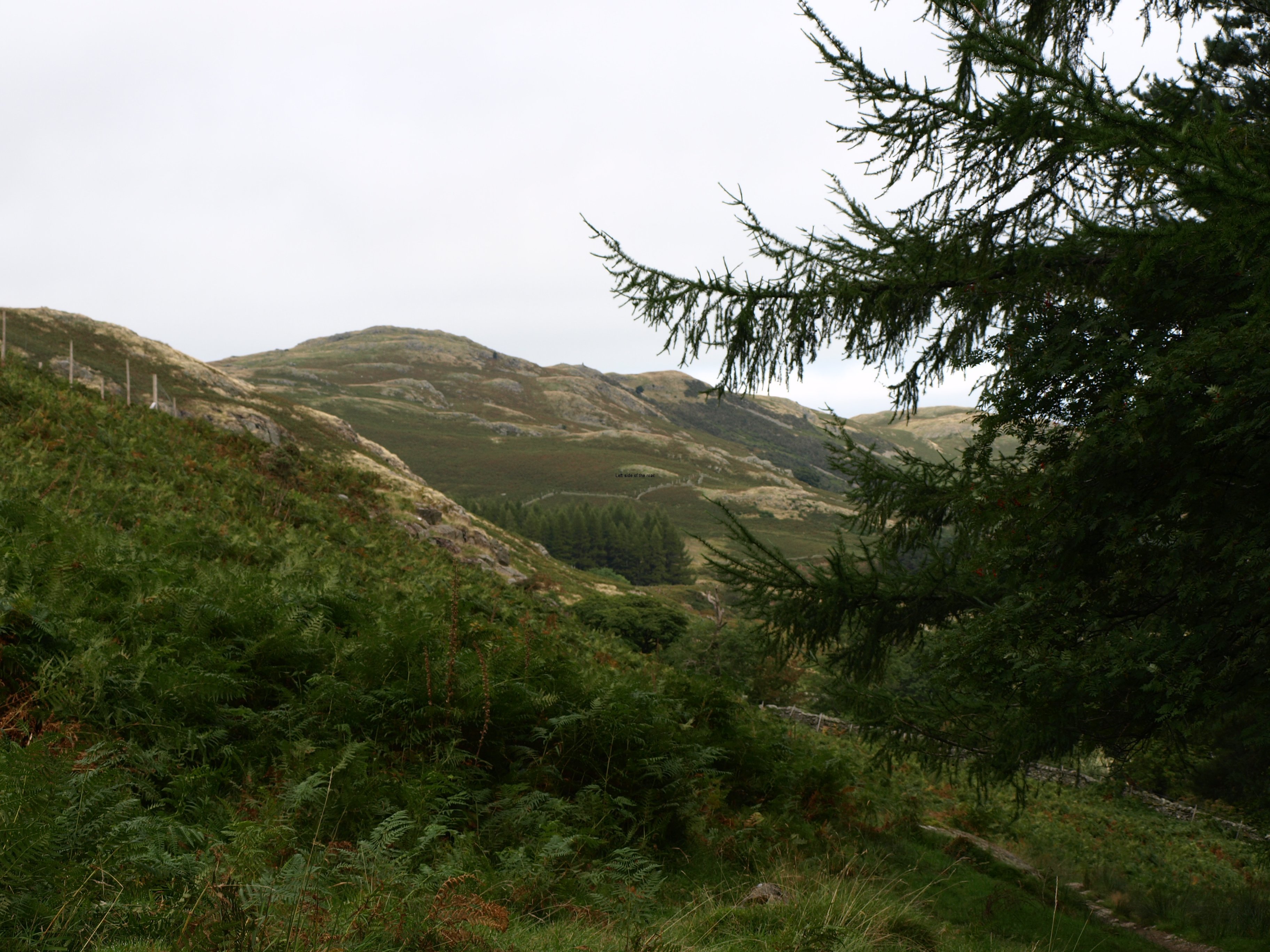
And as I stood there a little grey mouse came across the path and stopped as it reached the grass. Don’t know if it was just a field mouse or a dormouse or why it had come out at that moment but it was the only wildlife, apart from birds, I was to see that day.
Now happy I was on the right way I carried on, this time keeping the GPS close and checking where there was a way point, just for confirmation.
Now I know about the debate that surrounds the use of a GPS, and I accept most of the arguments that dependence on them can become dangerous. But it is useful to confirm your position, especially in such poor visibility that I encountered that day. I brought it along only for such reasons, not least because I haven’t really learned to use it in all the ways that are possible.

I was foolish today, with not double checking at the place where I knew my position but I was not the only one. During the course of the next hour or so I met up with people who had had navigation problems and who also mentioned others who were last seen disappearing into the wrong distance and had never been seen since. I’ve not heard of any problems on those hills on that day so assume that all turned out OK in the end but it does introduce an issue which has been festering for a while.

Before entering the Lake District National Park there are many posts directing walkers along the path that is known as the Coast to Coast. But as soon as you enter the national Park there are none. Now thousands of people are walking this route, in whole or in part, every year yet it’s still not an officially recognised long distance route. Why? I don’t know or even less understand. And it is for this reason (I understand) which is given for there being no C2C signposts in the Lake District though, as I’ve been told by people who know the area much better than myself, they reappear once out of the park on its eastern perimeter.

There’s a problem in this country when It comes to natural areas. We had to fight to get access to these areas for leisure use and the Mass Kinder Trespass in the pre-WWII years was what broke the power of the landowners to keep their, already stolen, land to themselves. The establishment of the National Parks should have put more control into the hands of ordinary working people but it seems we are still a long way from achieving that nirvana.

These middle class wanker pedants use any argument to control the land in the way that suits them. Whether it be that a route is not ‘official’, or that waymarks and signposts destroy the look of the wild and wonderful terrain or whatever spurious other reason they may come up with what results is an environment they want and not one that is for the majority.

In this they are joined by the ‘professional’ walkers who consider that people shouldn’t go into the hills unless they are competent navigators. But even those people get caught out at times. Anyone, however experienced they might be, can make mistakes. And it might even lessen the work of Mountain Rescue Teams if there were more signposts so that people wouldn’t get lost completely or use up too much energy in getting lost and then finding themselves again.

If these pricks, who drive around in their huge Samurai Warrior Attack 4 by 4s, had to get from A to B without road signs (as people had to do during the Second World War when road signs were removed so that any Nazi invading force would have to ask the locals the way – not that they didn’t have nor couldn’t read a map) they would be as lost as people are in the hills today. Even the GPS they have in their vehicles don’t help them when on certain tracks in the Lakes but even this doesn’t make them see matters in a different light.

All that’s necessary are discreet, strategically placed indicators. Low in environmental impact and not costly.

Once back on route it wasn’t long before I caught up with 2 Hawaiians who were also unsure of their path. As it happened they were going the right way but they felt reassured by the confirmation that came from my little hand-held electronic gizmo. By this time I was fairly confident that I was where I meant to be but by convincing them I think I ended up losing a little more time. I left them as they took a rest and then made the relatively short and not too steep final ascent to the highest point that day, Kidsty Pike, to see – nothing.

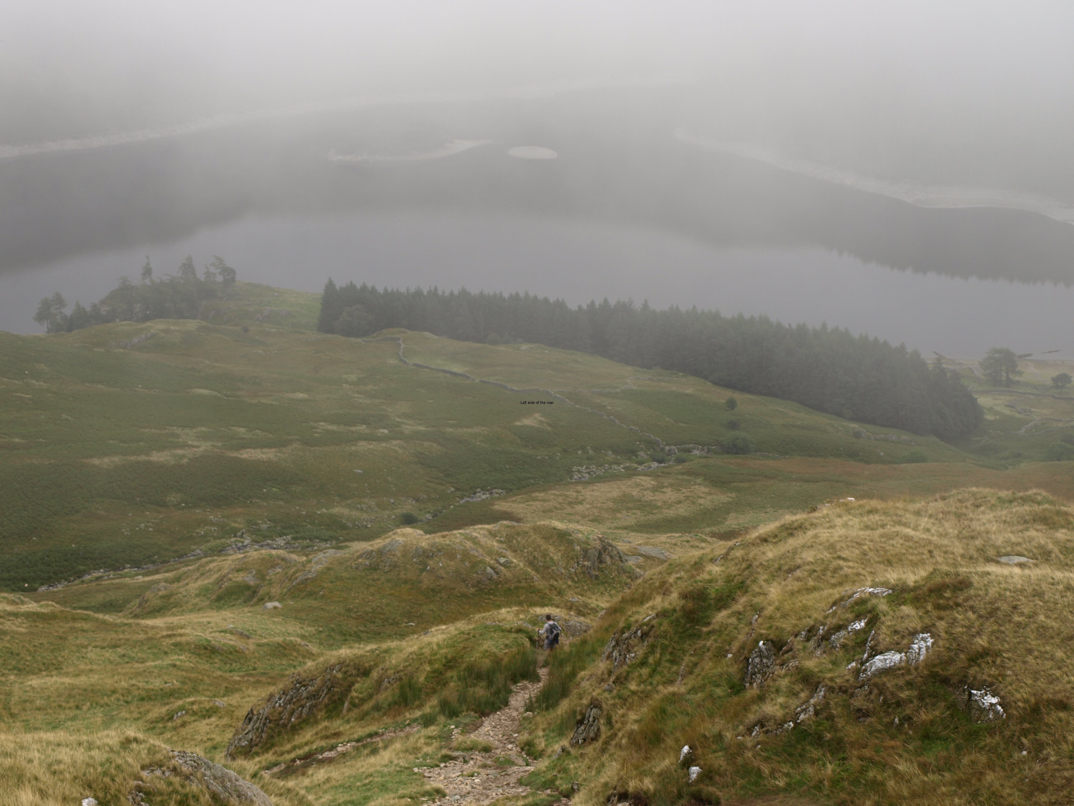
As we got higher the sun felt stronger through the cloud and I thought that we might have even broken through the cloud and have the blue sky above. That would have been impressive if that was the case and only the highest peaks would have poked out of the sea of white. But it was not to be. The cloud level might only have been a metre above my head but that was a metre too much.

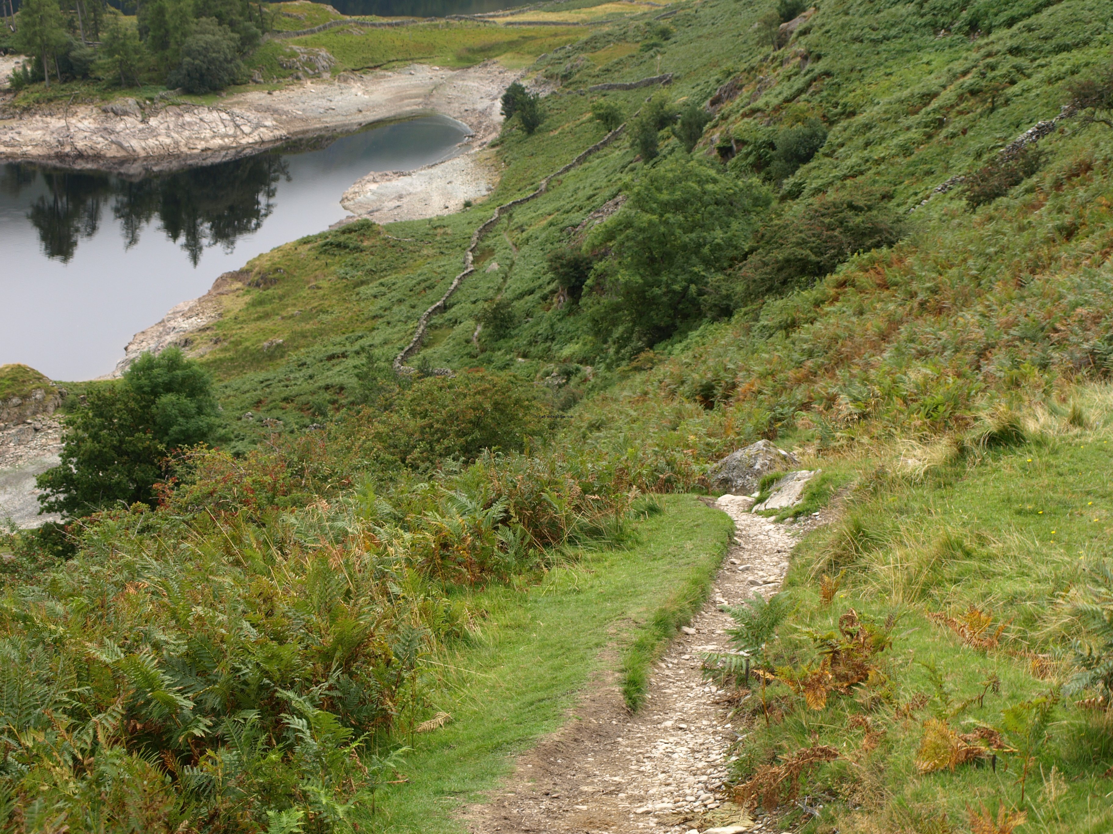
The descent was steep in parts and I’m definitely getting slow going down hill, perhaps not a problem if only out for a day but when there’s still another 8 days of walking until reaching the North Sea I want to protect the knee as much as possible, although it means that I’m doing strange and wonderful pirouettes to try to land each step with minimum force.

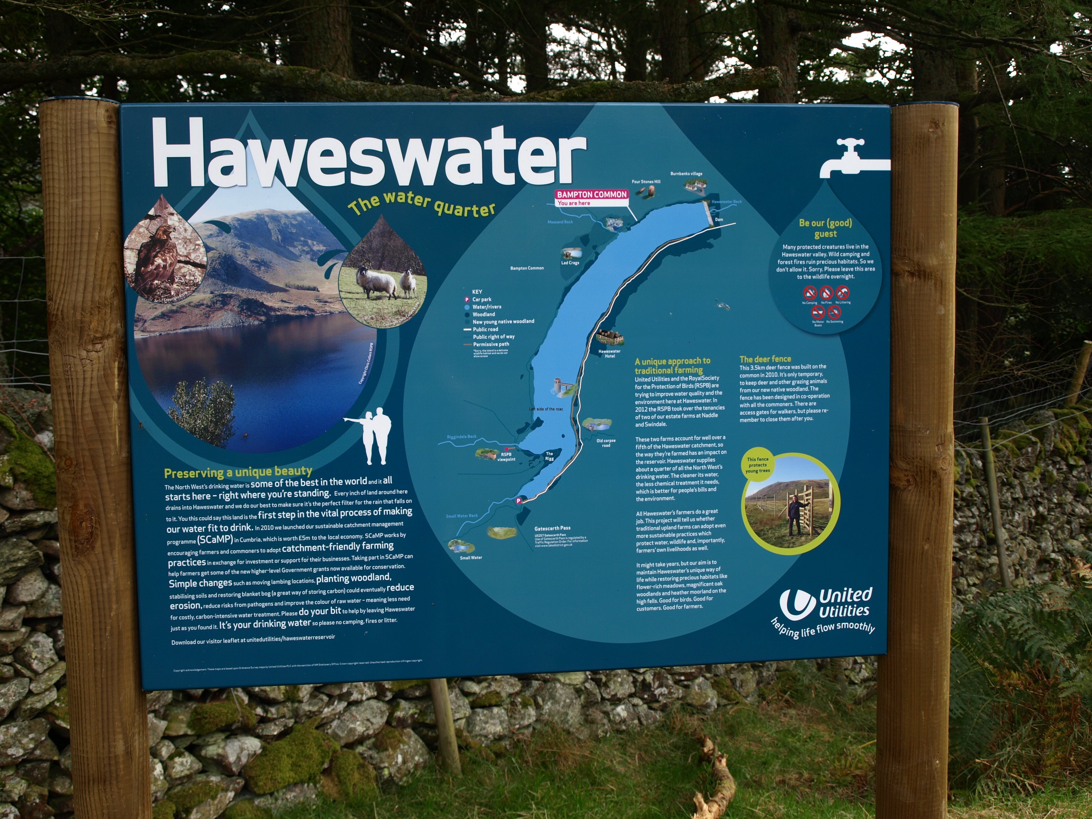
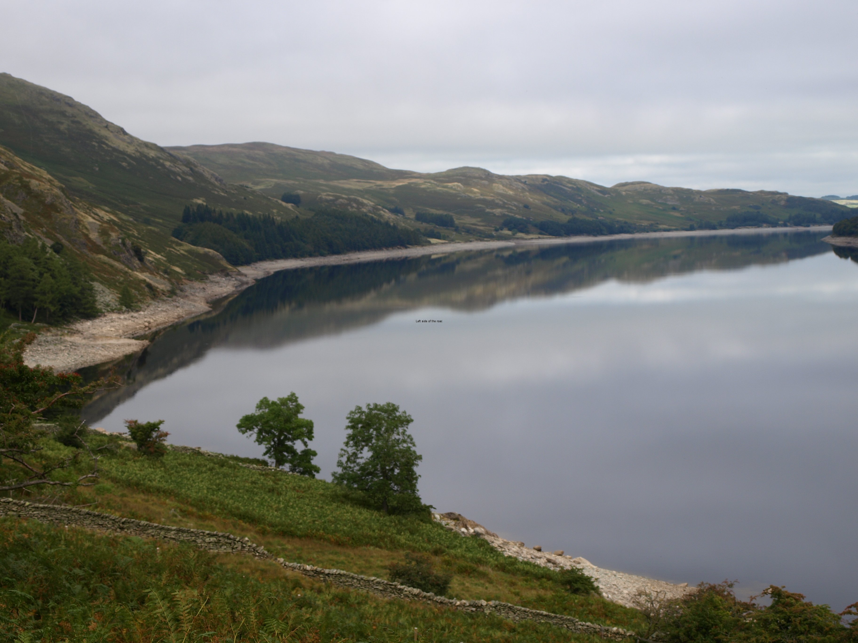
And at the bottom of the descent, arriving at the very southern end of Haweswater Reservoir, it looked a long, long way to the dam at the northern end. And it was. Not difficult, just long.

A bit too long, at times seemingly never-ending. And there were still two hours of walking after the dam in order to get to Shap. My timings for the day worked out more or less correct. I lost in places (getting lost, taking time with the Americans and then the careful steep descent) but gained a bit along the flat though started to flag by the end of the day. In the timings I’ve not factored in fatigue which I’ll have to take into consideration of a few of the days to come. And that fatigue is not helped by the pack, its weight now becoming a significant factor.

Nonetheless, I wasn’t the slowest on the route. I met, and passed, a number of people who had started out before me so although I might not still be up to my own timings I’m still better than many. I know some people took more than 12 hours on this route, almost arriving in the dark. I did it in 9 and thought that was pushing it. Any longer and I don’t want to be walking with my pack.

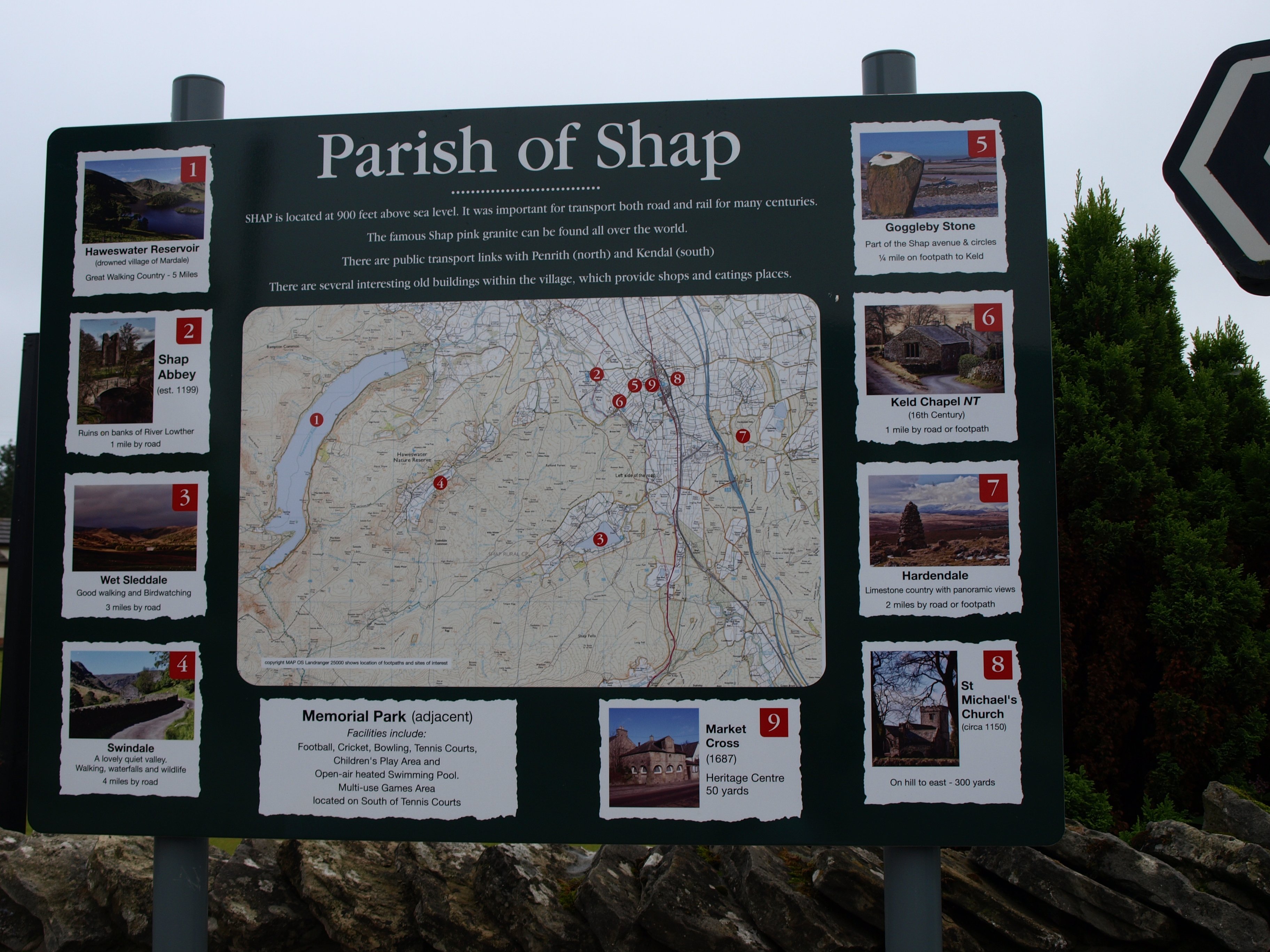
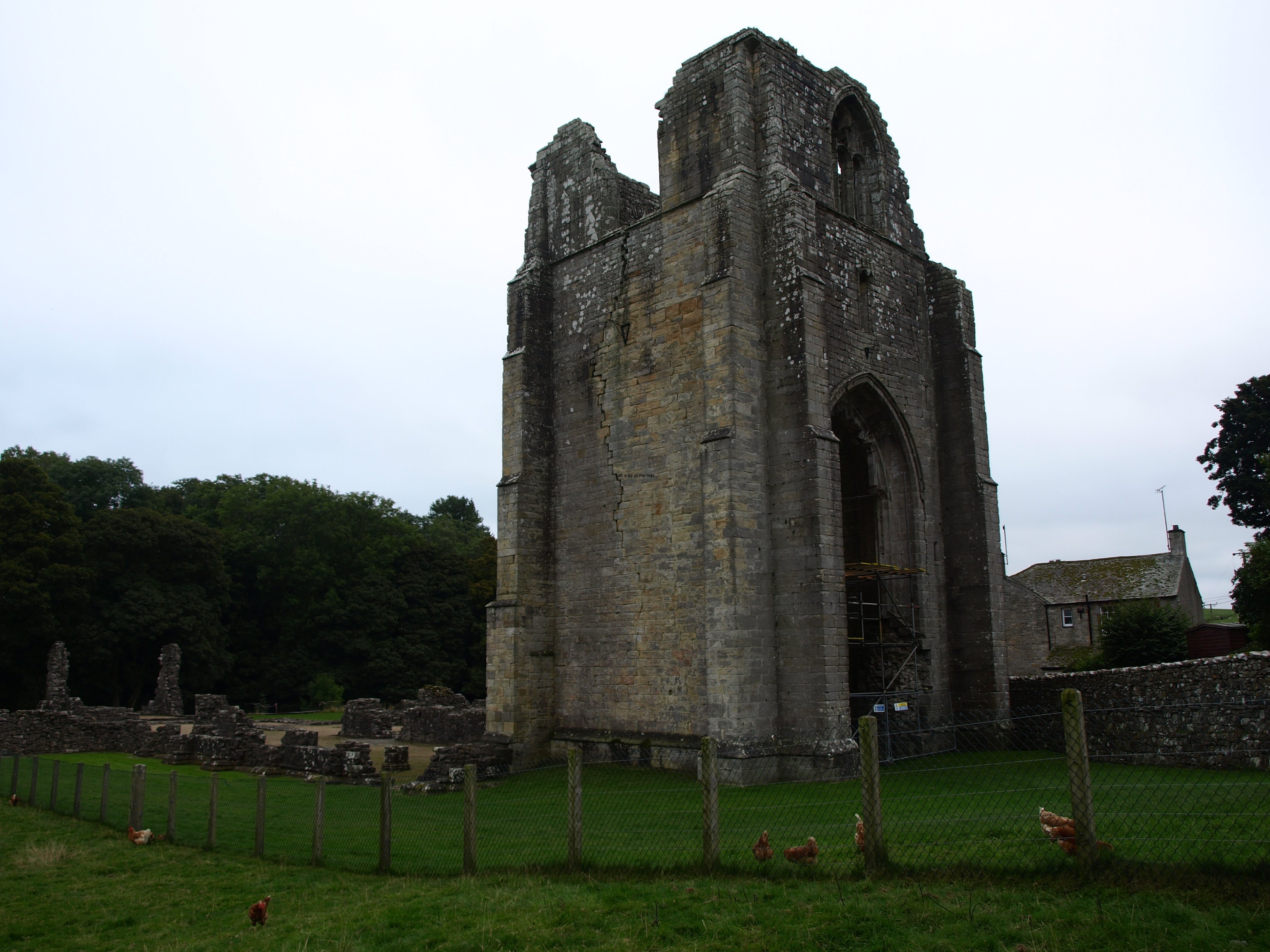
The last few miles, after the village of Brampton, seemed to go on forever. By the time I reached the ruins of Shap Abbey all it merited was a quick snap and a long curse as I realised there was a steep road climb to get out of the bowel in which it was constructed. In other circumstances would have had a quick look around but by that time, close to 6 o’clock, all I wanted was to find my bed for the night.

Tomorrow is long in terms of miles but without the same sort of ascent – so should be OK

As to physical decay there are lots of aches and pains, the normal inability to move once in my night’s lodging as the body has decided to shut down for the evening. The tops of the feet aren’t any worse, so I’m hoping that issue will slowly recede. Knee hurts, but going to look for some medication tomorrow to see if that can, at least, keep the discomfort tolerable.

And getting close to half way!

Although cloudy and overcast for much of the day I was still walking in a T-shirt and shorts from beginning to end.

So at 18.15 on Monday 23rd September it was 64 miles down and 136 to go

Practical Information:

Accommodation

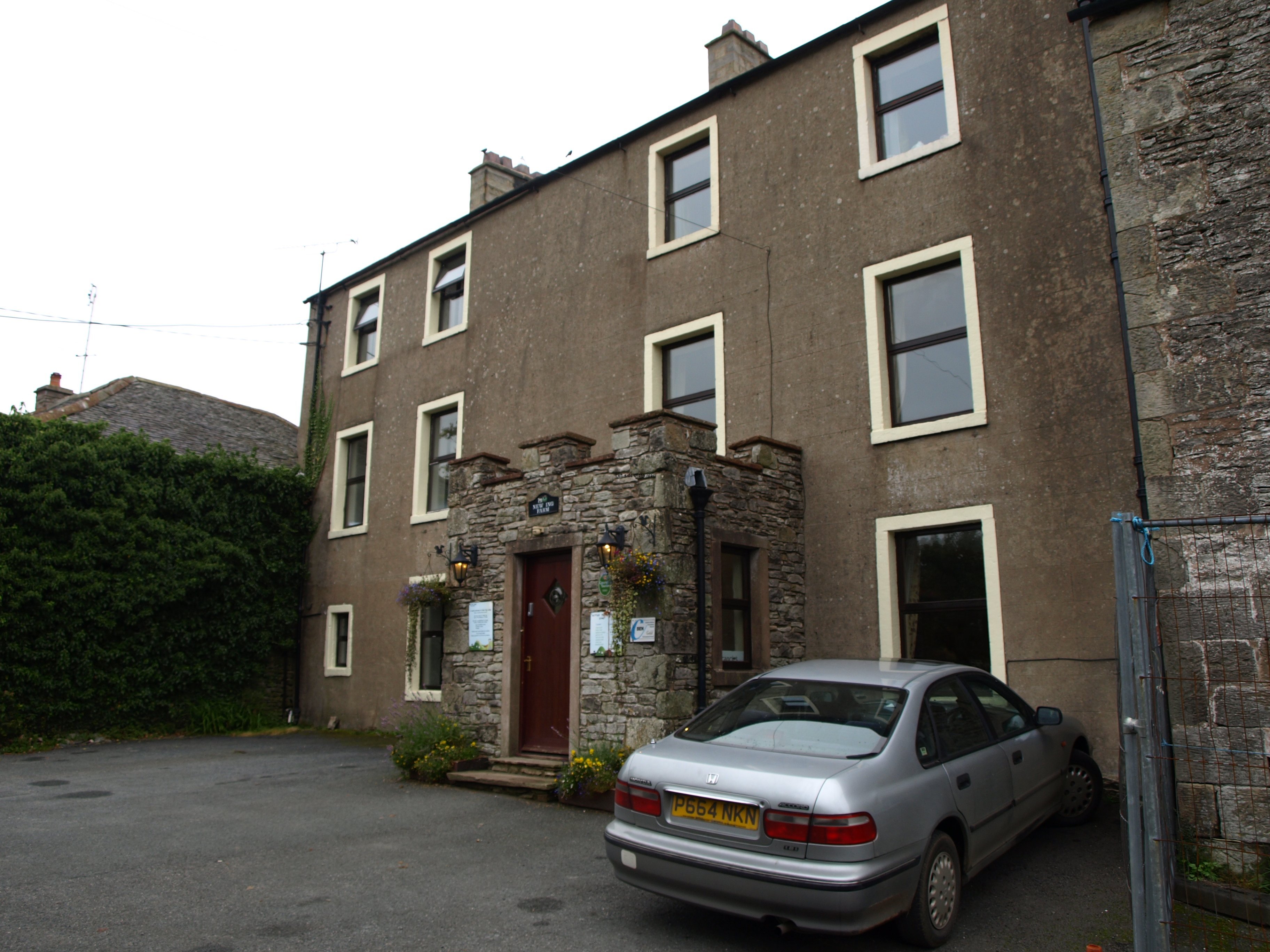
New Ing Lodge. Had a single room for a reasonable price (£28.00 B+B), so no mark up for single travellers. Not en-suite. It felt quite quaint to be staying in a room with just a wash basin and having to queue or wait for a quiet period for the toilet/shower. Old house and every movement meant that the floors squeaked. Also, even with 3 foot thick walls you could still hear people talking.

Has its own little bar, but didn’t risk trying what they had on draught, a cold previously unknown bottle of cider (Green Orchard) was preferable.

Has free wifi, some places better than others for reception but it worked well in my room.

Does evening meals – didn’t try it as thought the cider was a better bet.

More on Britain …

Previous     Next

Coast to Coast – The First Scheduled Rest Day

The hill to climb the next day

The hill to climb the next day

More on Britain …

Chapter Five – First Rest day – Patterdale

And the best day weather wise since I set off

When I first decided on doing this trip and started to make the first investigation into what it would entail I had decided on rest days. When it looked like I would take 13 walking days I decided it would be 4 on, 1 off, 4 on, 1 off and then 5 days to get to the end.

However, I wanted to maintain as much flexibility as I could. I was tied in a sense that all the accommodation had been booked in advance and thought that if I felt OK and the weather was good I could walk the next stage (to Shap) with less of a weight; there get a bus back to Patterdale via Penrith to spend the second night in the YHA; and the following day do the bus route back to Shap. That fell apart as my free day happened to be a Sunday and transport was not too good and I didn’t want to risk attempting to hitch after what would still have been a long day. And I wouldn’t have had time at the computer if I did that. Perhaps it’s best to make a plan and keep to it.

Different people have different attitudes as to how you factor in rest periods on such a long walk. Some think that a few short days allows the body some rest but keeps you moving on. Others just want to bomb it, do it as fast as possible and get it over with. Each to their own in this as it all more a matter of psychology than physical fitness.

I like the idea that on day 4 I knew that the next day I wasn’t going to have to pack up my bag and carry it however many miles to the next stop. On the morning of the rest day it’s good to wake up knowing you don’t have to get up (within reason) if you don’t want to. However, there are down sides to a free day and that’s also psychological – it’s difficult to get started the following day. But that’s, really, no more nor worse than many people’s approach to a Monday morning if they work a 5 day week and have had the weekend off. Unless you’re like the girl in the Boomtown Rats song of the 70s/80s, ‘I don’t like Mondays’, you just get on with it and not end up shooting as many people as you can.

As I want to maintain this blog I needed some time to sit at the keyboard. From the very start I didn’t put a great deal of faith in the idea that I would be able to write each night. Notes, yes, but not something that holds together reasonably well.

So that’s what I did on that rest day, stayed in the hostel canteen sitting at a table typing away, getting strange looks, but no comments, from the staff of the hostel as they went about their business. Outside it was bright and sunny with blue skies. At one moment I looked over my shoulder to the hill I had to surmount the next day and there wasn’t a cloud in sight. What it might have been like out of sight on the mountain peak I don’t know but from where I was sitting in the valley bottom it looked like a perfect day.

But I spent no more than 10 minutes outside of a building all day. After I had written what I wanted for the first four days I needed to get to the local pub for the internet connection. I knew the pub and didn’t rate the beer too highly (only one cask beer and the first time I had it felt it was indifferent to say the least so never tried again). So I was in the White Lion for about three hours having a couple of pints of cider and another indifferent meal (not having too much luck in the evening meal stakes) as I waited for things to download. I learnt then, as I should have realised from previous experience, that downloading pictures on a public network can take forever and effectively locks up the computer for much else. I must not do that in future and leave the picture downloading until there’s more time or when I’m back home.

So I walked no more than a kilometre in total all day, but was knackered after typing up my ideas. So it was early to bed, with the hope that the weather of tomorrow would be a carbon copy of today.

Didn’t fall down once today – even on the way back from the pub

The Old Water Hotel, right next to the YHA, also has a bar and advertises wifi so that’s another option for internet connection.

So on the afternoon of Sunday 22nd September it was still 47.5 miles down, 152.5 to go.

More on Britain …

Previous     Next