Chapter 6 – Patterdale to Shap
The day with a big climb and a lot of miles
It wasn’t easy re-starting after a free day – although it wasn’t much of a free day in the sense of relaxing as I spent most of the time on the computer, and that might be considered as much as a working day as anything else.
Weather looked promising, not as positive as the day before but the cloud was lifting off the hills and as this had been the start of the previous day which had worked out well I had high hopes.
The time off walking had also allowed me to prepare my injuries and reinforce my weaknesses. In that way I left the hostel bandaged as if ready for an audition for a budget ‘Invisible Man’ or a ‘Mummy whatever number, the Return Yet again’ film.
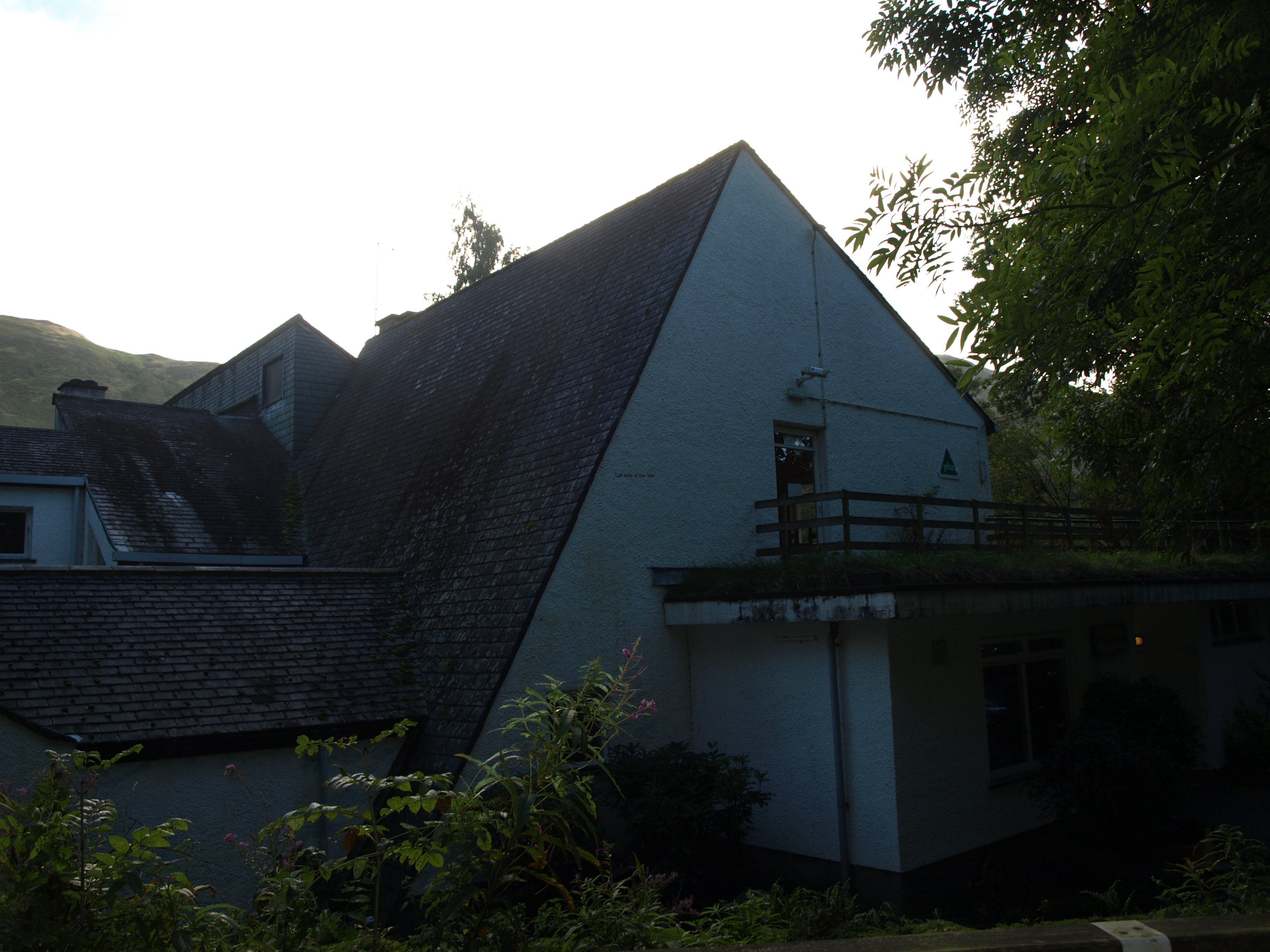
As I was leaving a French woman, who had been staying at the hostel, asked if I was enjoying the walk. I answered she should ask me at the end of it, not what she was expecting, I think. I’m not sure, but some people consider it an obligation to enjoy these type of expeditions. If you are not positive then there’s definitely something wrong with you. Assuming I reach the end I will definitely have a sense of an achievement, but enjoyment? I’ll try to address that when I’m at the hostel close to Robin Hood’s Bay, or a bit later when back in the comfort of my own flat.
Back to the walk to Shap.
This was a bit of a landmark day in that it was when I would leave the Lake District behind – not that I had seen much of it – and it was also likely to be one of the hardest as it involved the highest single climb so far, with a steep descent down to the lake, and a total distance of something like 16 miles. And everything looked good as I left.
However, with a 9 o’clock start and arriving at the B+B at 18.15 I hadn’t felt so exhausted since I did the Eskdale Ring, taking in Scafell which I did a few years ago.
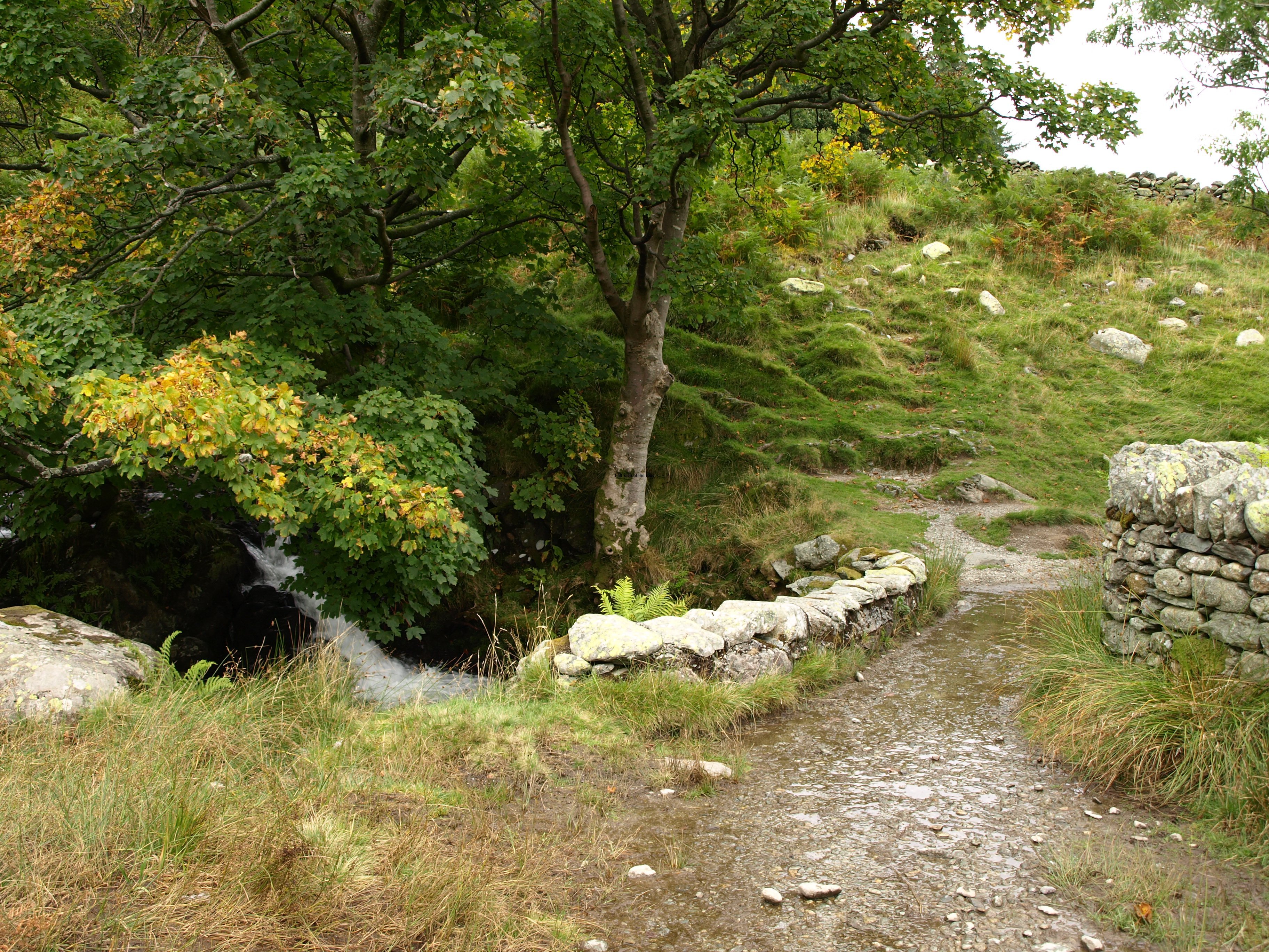
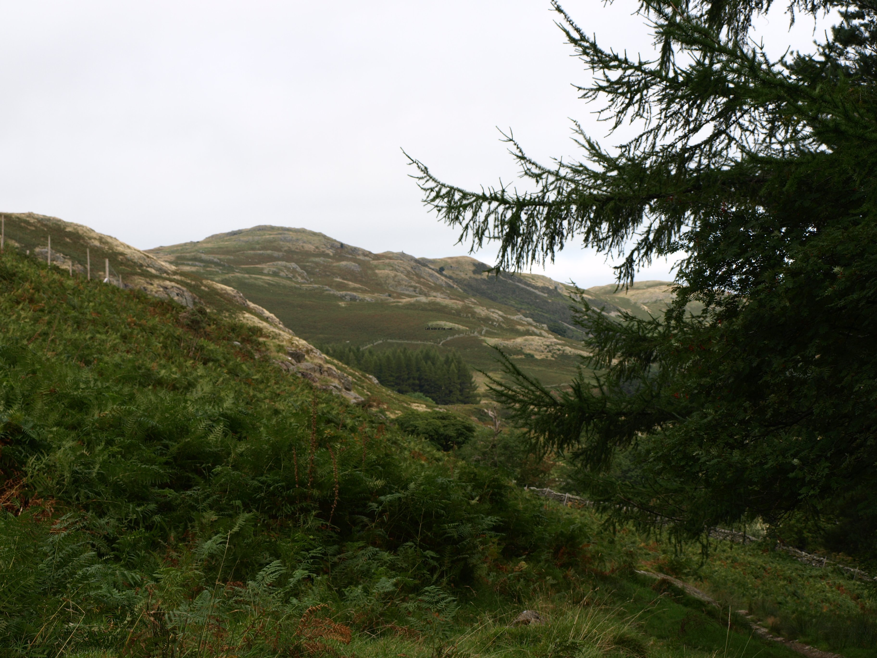
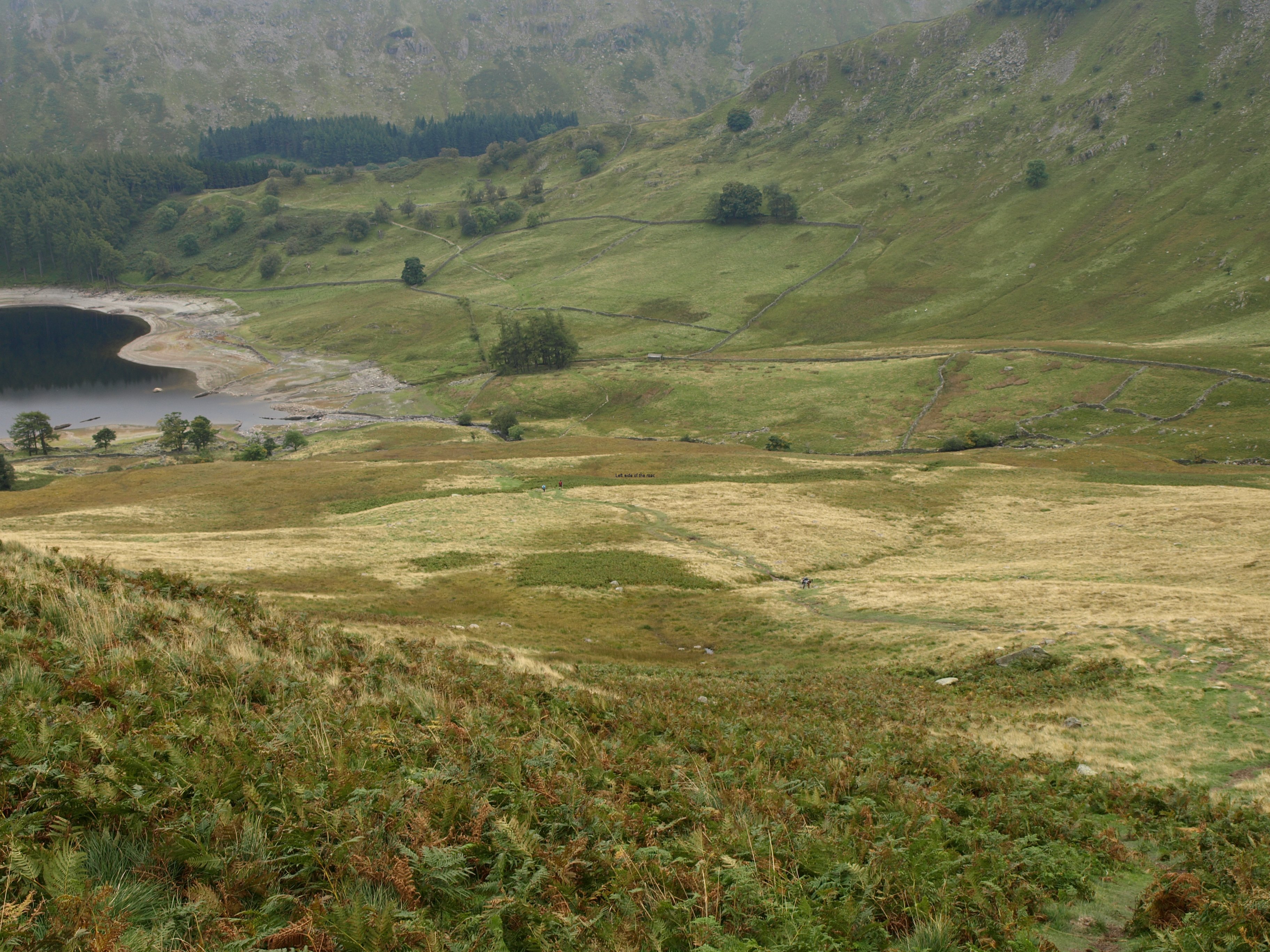
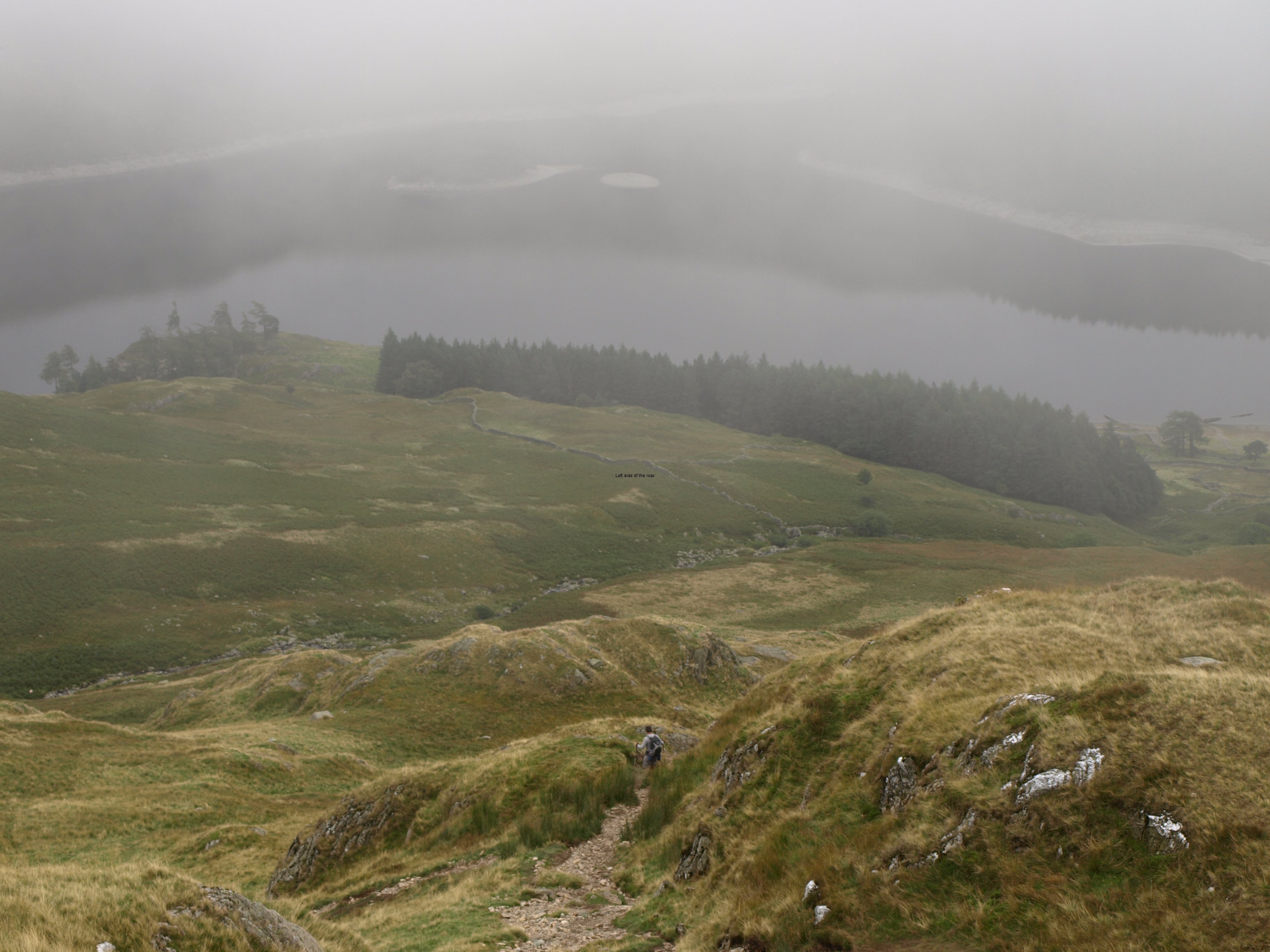
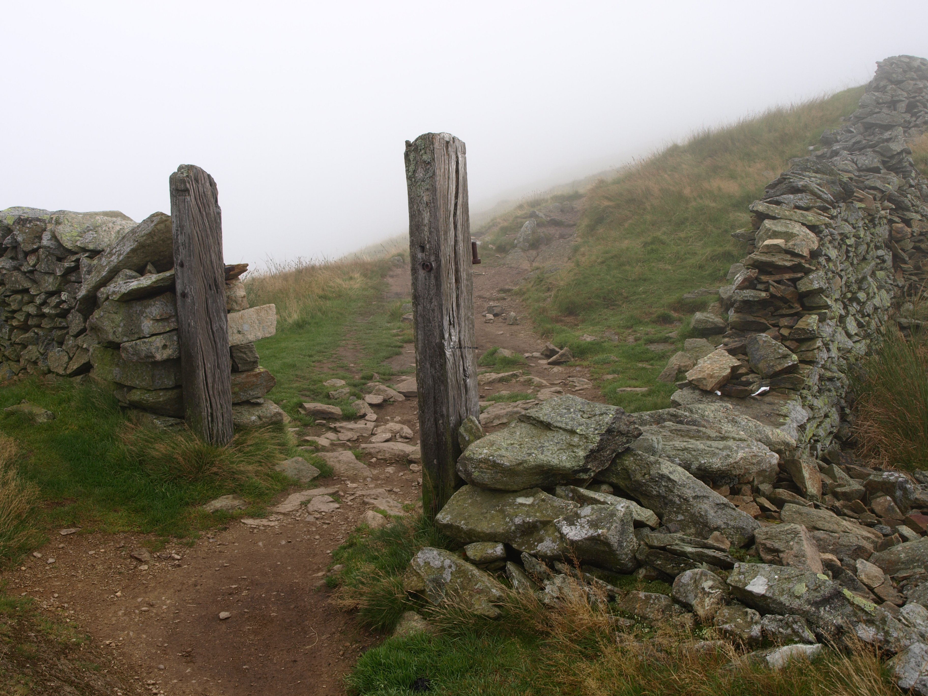
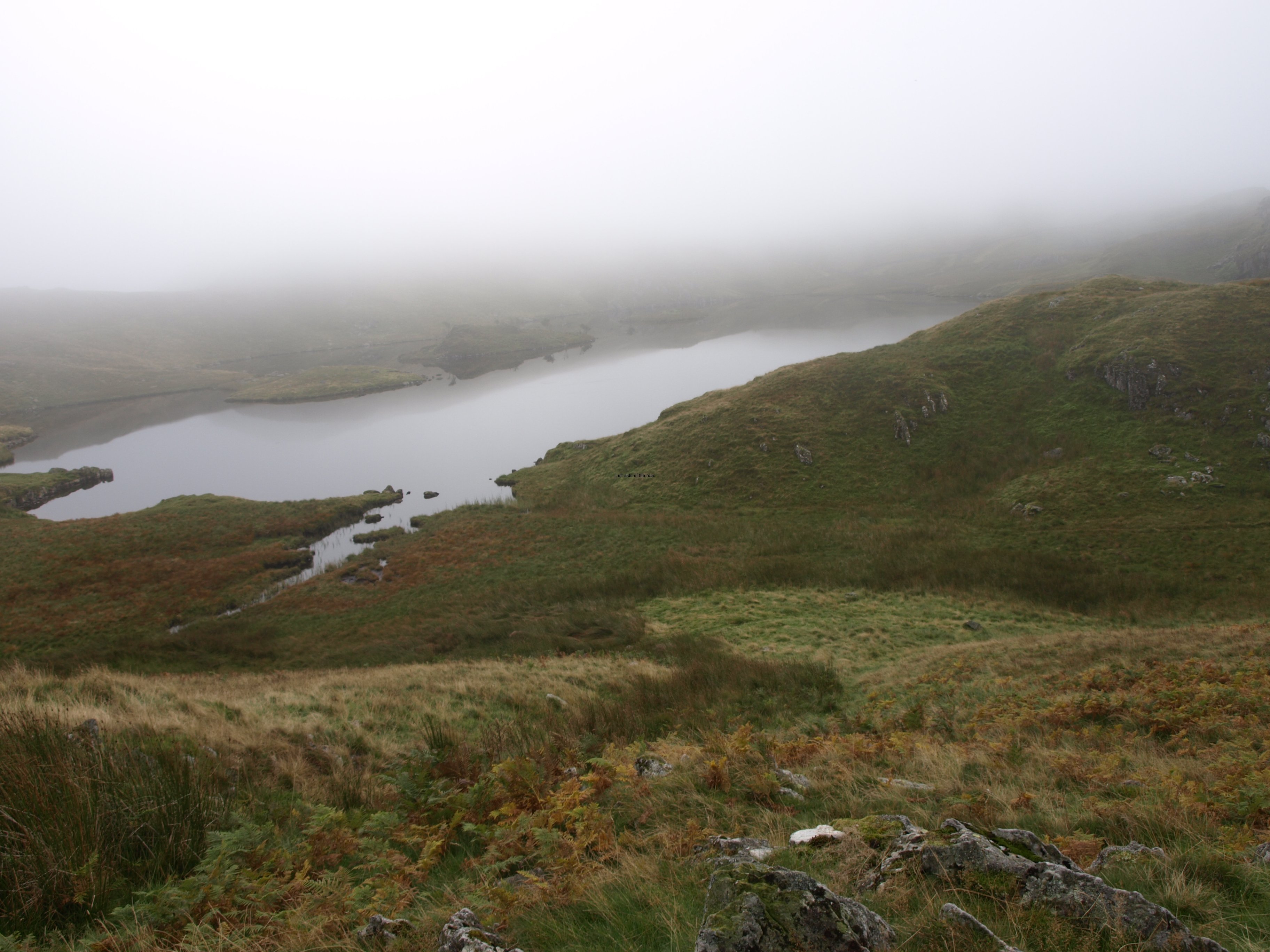
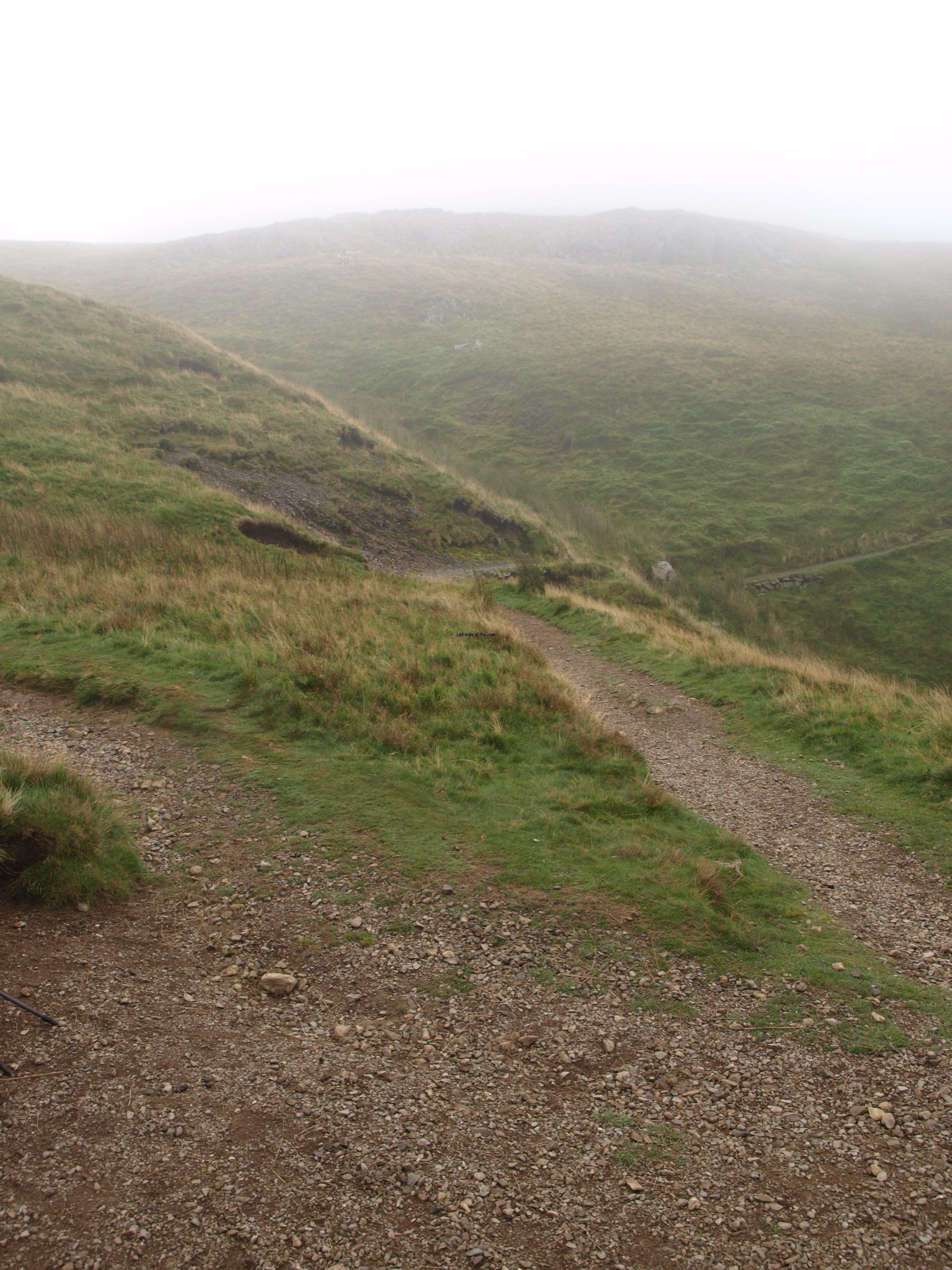
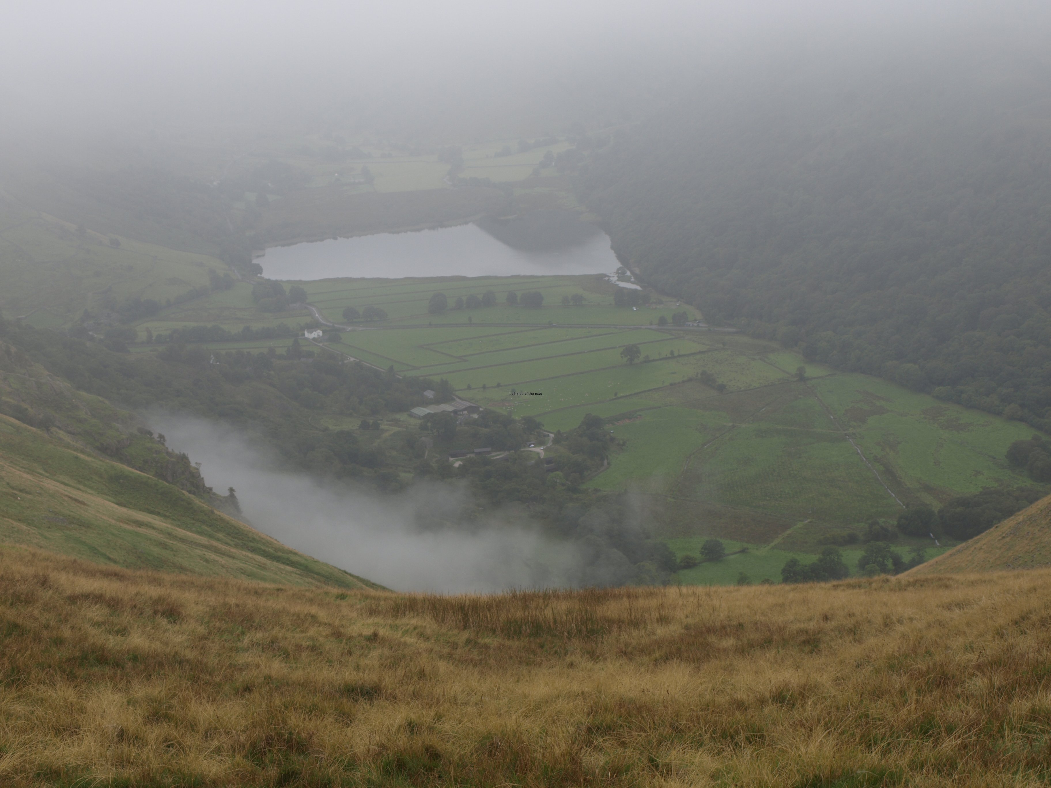
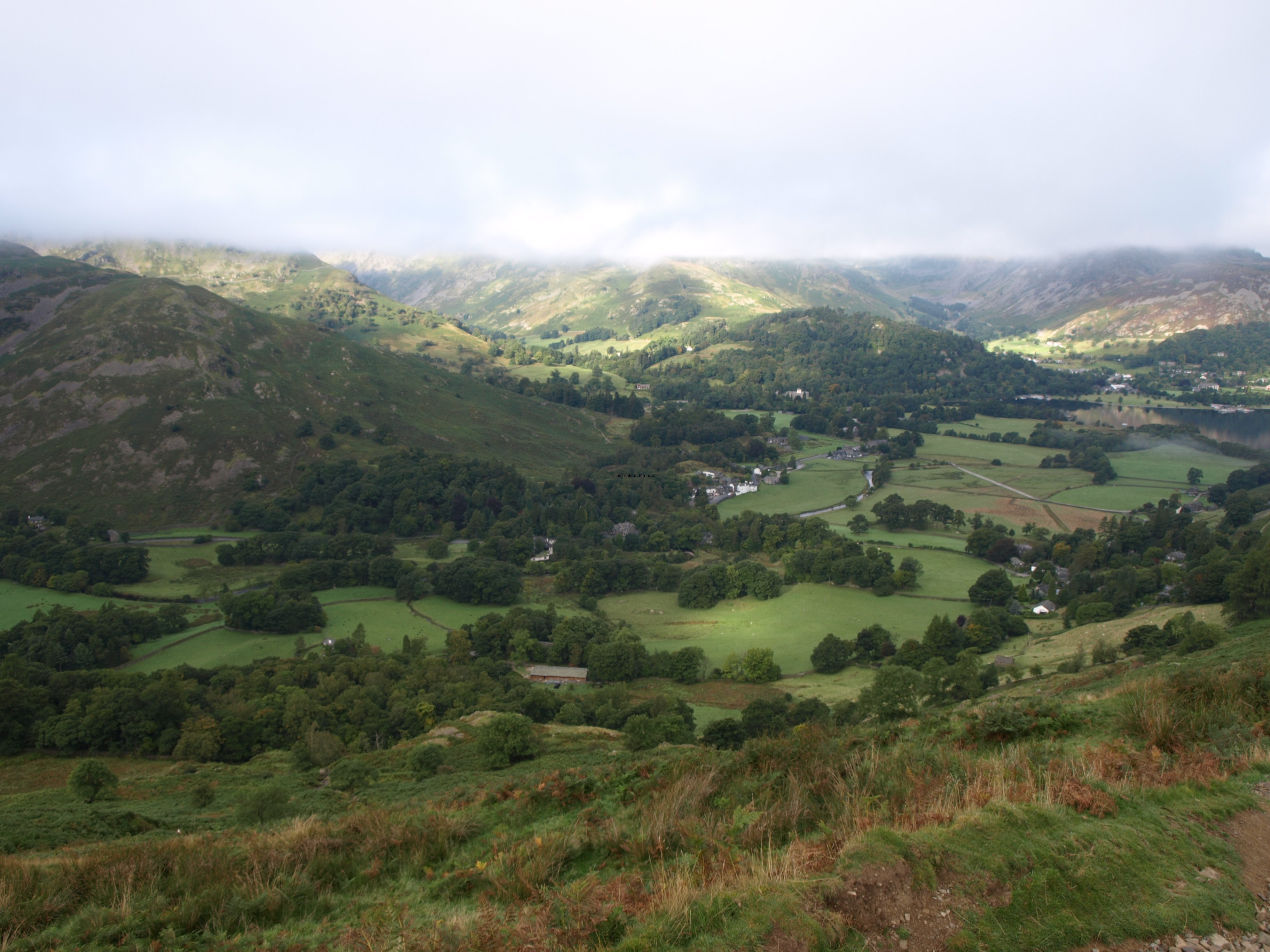
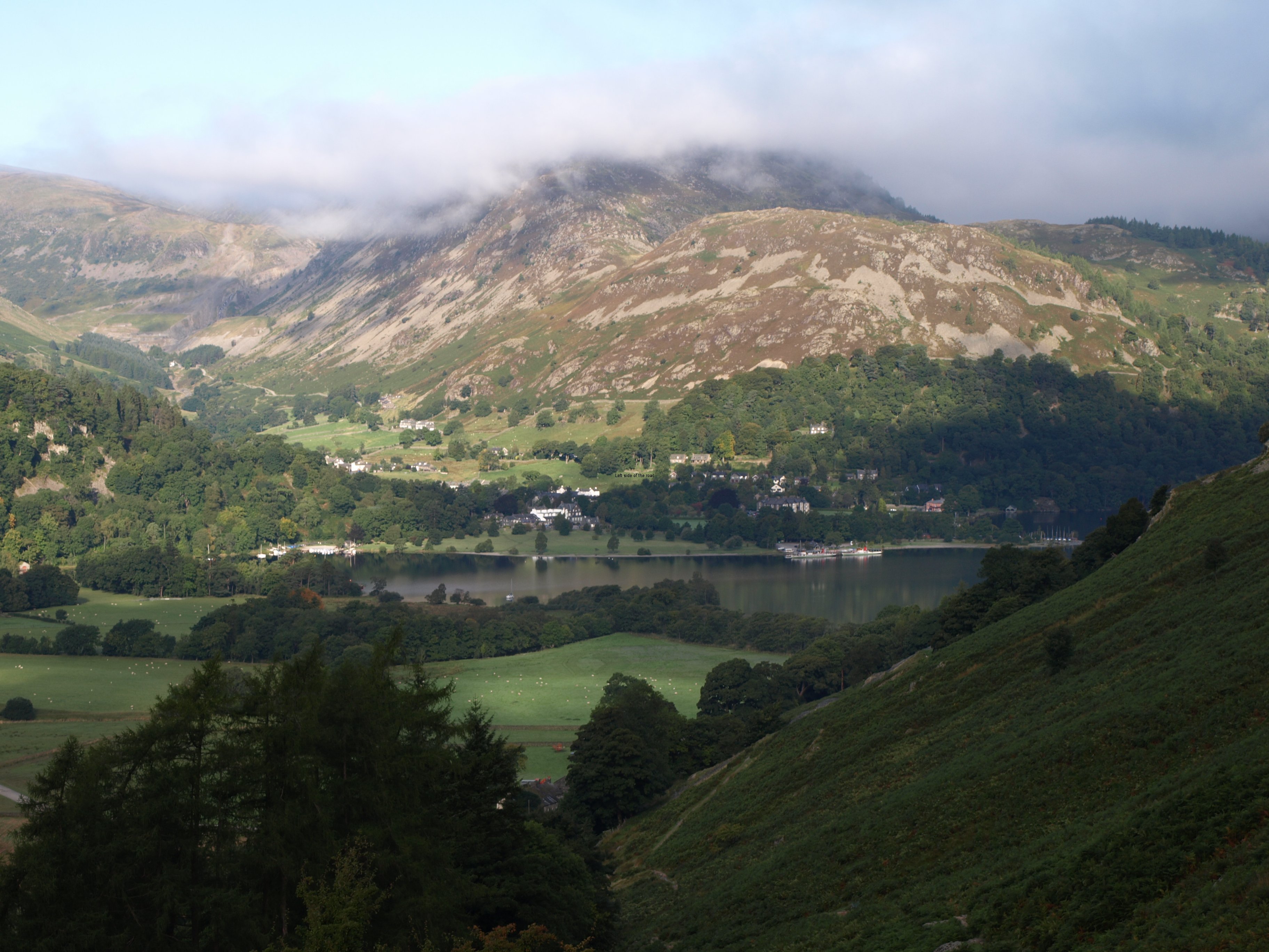
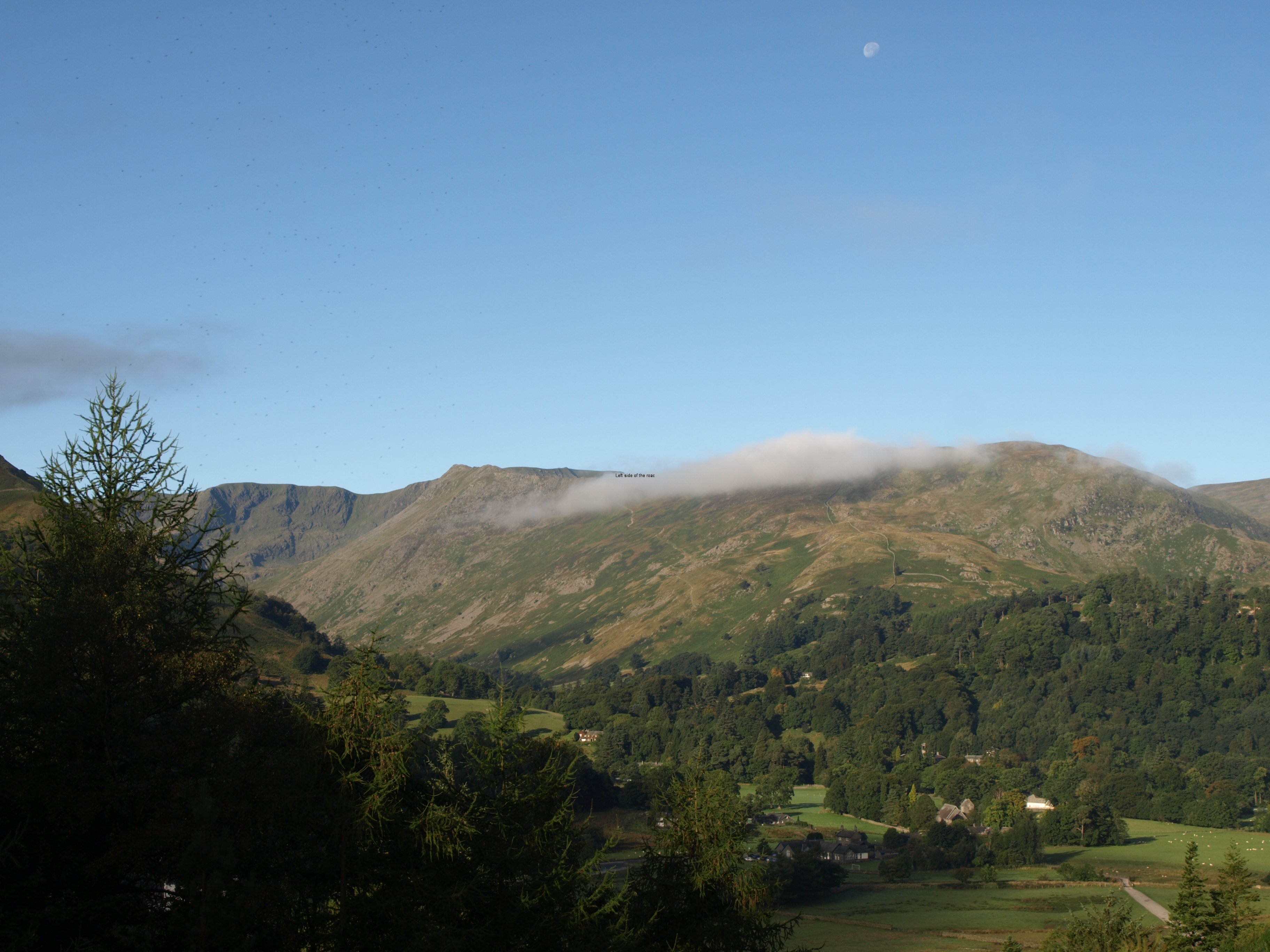
The climb starts as soon as you move out of Patterdale. Not vertical but steep enough. If you look at the picture at the top of the post for yesterday you can make out the path just above the trees in the centre going up from left to right. When I started it was already in the sun and as I slowly (with the aid of the poles which I think I’m using more effectively each day) got higher the cloud seemed to be lifting off Helvellyn, just across the valley. So I took a picture of Striding Edge as the last wisps of cloud disappeared – only for it to return again as the whole of the valley became shrouded in mist by the time I turned my back on the Lakes and reached a flat area called Boredale Hause. I started off thinking I would have good weather but it all fell apart within 30 minutes from putting my first step on the hill climb.
Even though I had done my planning, even though I thought I knew which way to go, even though I was using a compass it was here that I lost my way – for the first time on this trip. I don’t know why. It was just foolishness. By the time I was at the area of this crucial junction visibility was extremely limited. I thought that the path I took was the one. If it had been a clear day no doubt I would have seen the path going off into the distance but why I didn’t scan anyway, to make sure, just to see if it was visible I don’t know. I was following recent footprints without taking in consideration that this is one of the most popular walking areas in the country and not everyone is walking the Coast to Coast.
So I headed off into, what was to become, the unknown. Then things didn’t seem right. The compass direction wasn’t exactly what it said in the book but there were twists and turns and I considered I would eventually follow the right line. But I came across a boggy area and then a small stream, both attributes that would have merited a mention in the guide book, it’s that detailed.
So I resorted to modern technology and took out the GPS. This proved I was going in the wrong direction, away from the way point that was next on my route. (There was a file I was able to download from the internet which corresponds to those indicated in the book.) Now I made another, potentially serious mistake. I didn’t go back the way I had come to where I knew where I was but went in the straightest line to where I thought my path should be. Fortunately it wasn’t long before I saw a line going across the side of the hill that looked like a well used path (which it turned out to be) but to get there I had to descend into a slight dip and then scramble up a steepish slope.
When I got to the path it was like the equivalent of a dual carriageway in the hills and don’t understand why I had missed it in the first place. Just as I got there a trio of Germans came along the path and I was able to confirm that I had found the correct way. I had lost some time and energy, not too much but more than I would have liked at the beginning of such a strenuous day.
And as I stood there a little grey mouse came across the path and stopped as it reached the grass. Don’t know if it was just a field mouse or a dormouse or why it had come out at that moment but it was the only wildlife, apart from birds, I was to see that day.
Now happy I was on the right way I carried on, this time keeping the GPS close and checking where there was a way point, just for confirmation.
Now I know about the debate that surrounds the use of a GPS, and I accept most of the arguments that dependence on them can become dangerous. But it is useful to confirm your position, especially in such poor visibility that I encountered that day. I brought it along only for such reasons, not least because I haven’t really learned to use it in all the ways that are possible.
I was foolish today, with not double checking at the place where I knew my position but I was not the only one. During the course of the next hour or so I met up with people who had had navigation problems and who also mentioned others who were last seen disappearing into the wrong distance and had never been seen since. I’ve not heard of any problems on those hills on that day so assume that all turned out OK in the end but it does introduce an issue which has been festering for a while.
Before entering the Lake District National Park there are many posts directing walkers along the path that is known as the Coast to Coast. But as soon as you enter the national Park there are none. Now thousands of people are walking this route, in whole or in part, every year yet it’s still not an officially recognised long distance route. Why? I don’t know or even less understand. And it is for this reason (I understand) which is given for there being no C2C signposts in the Lake District though, as I’ve been told by people who know the area much better than myself, they reappear once out of the park on its eastern perimeter.
There’s a problem in this country when It comes to natural areas. We had to fight to get access to these areas for leisure use and the Mass Kinder Trespass in the pre-WWII years was what broke the power of the landowners to keep their, already stolen, land to themselves. The establishment of the National Parks should have put more control into the hands of ordinary working people but it seems we are still a long way from achieving that nirvana.
These middle class wanker pedants use any argument to control the land in the way that suits them. Whether it be that a route is not ‘official’, or that waymarks and signposts destroy the look of the wild and wonderful terrain or whatever spurious other reason they may come up with what results is an environment they want and not one that is for the majority.
In this they are joined by the ‘professional’ walkers who consider that people shouldn’t go into the hills unless they are competent navigators. But even those people get caught out at times. Anyone, however experienced they might be, can make mistakes. And it might even lessen the work of Mountain Rescue Teams if there were more signposts so that people wouldn’t get lost completely or use up too much energy in getting lost and then finding themselves again.
If these pricks, who drive around in their huge Samurai Warrior Attack 4 by 4s, had to get from A to B without road signs (as people had to do during the Second World War when road signs were removed so that any Nazi invading force would have to ask the locals the way – not that they didn’t have nor couldn’t read a map) they would be as lost as people are in the hills today. Even the GPS they have in their vehicles don’t help them when on certain tracks in the Lakes but even this doesn’t make them see matters in a different light.
All that’s necessary are discreet, strategically placed indicators. Low in environmental impact and not costly.
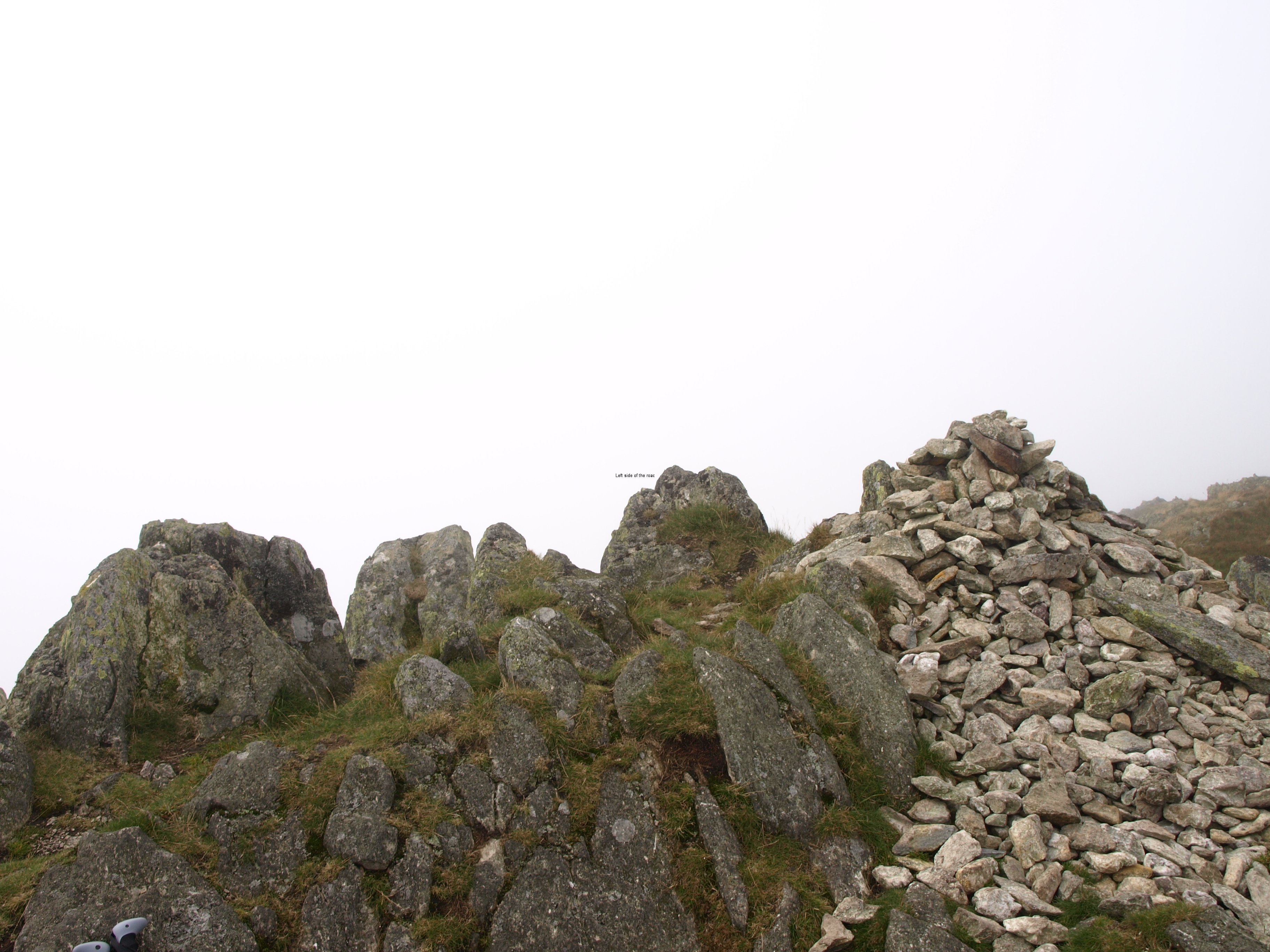
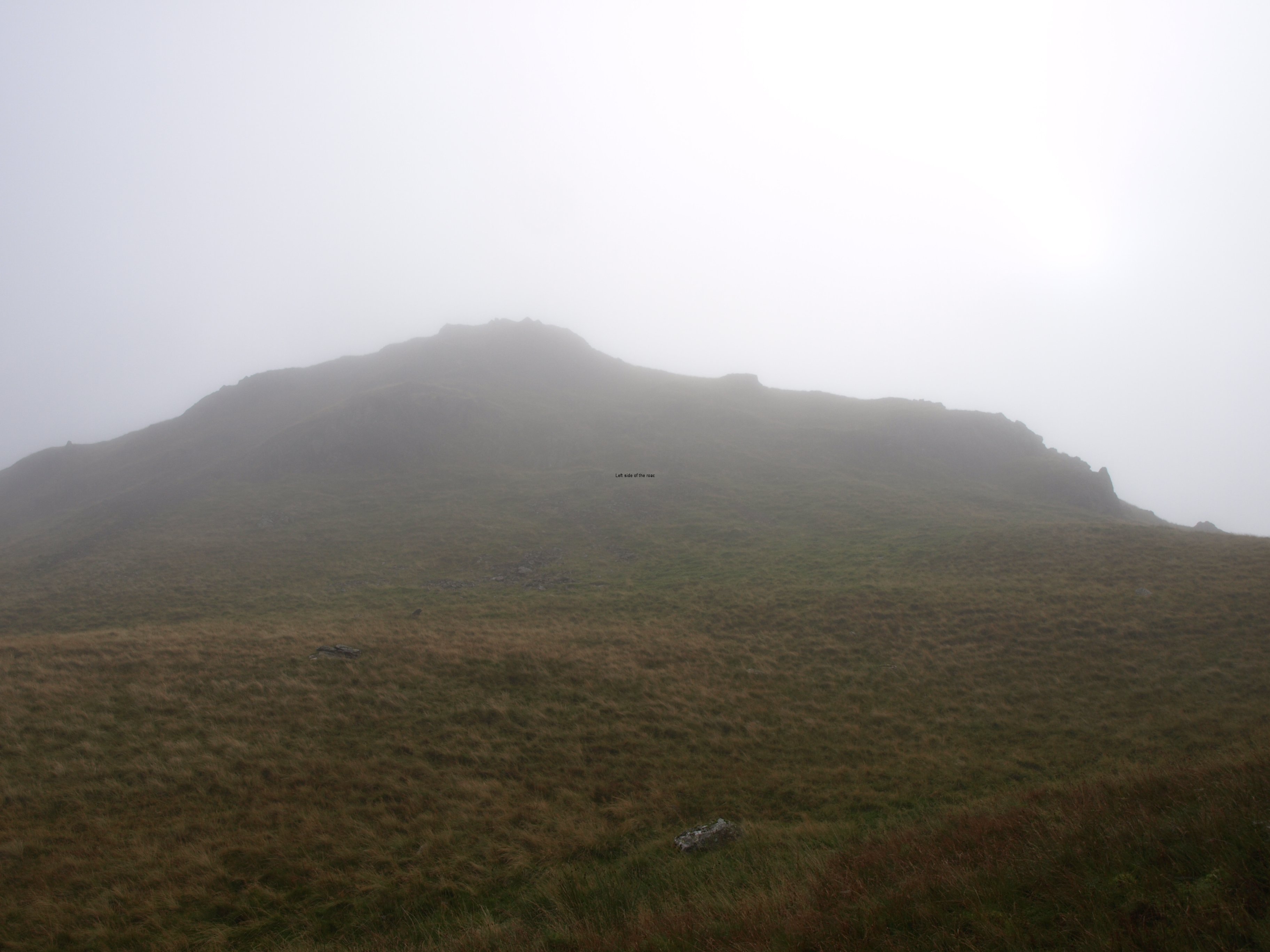
Once back on route it wasn’t long before I caught up with 2 Hawaiians who were also unsure of their path. As it happened they were going the right way but they felt reassured by the confirmation that came from my little hand-held electronic gizmo. By this time I was fairly confident that I was where I meant to be but by convincing them I think I ended up losing a little more time. I left them as they took a rest and then made the relatively short and not too steep final ascent to the highest point that day, Kidsty Pike, to see – nothing.
As we got higher the sun felt stronger through the cloud and I thought that we might have even broken through the cloud and have the blue sky above. That would have been impressive if that was the case and only the highest peaks would have poked out of the sea of white. But it was not to be. The cloud level might only have been a metre above my head but that was a metre too much.
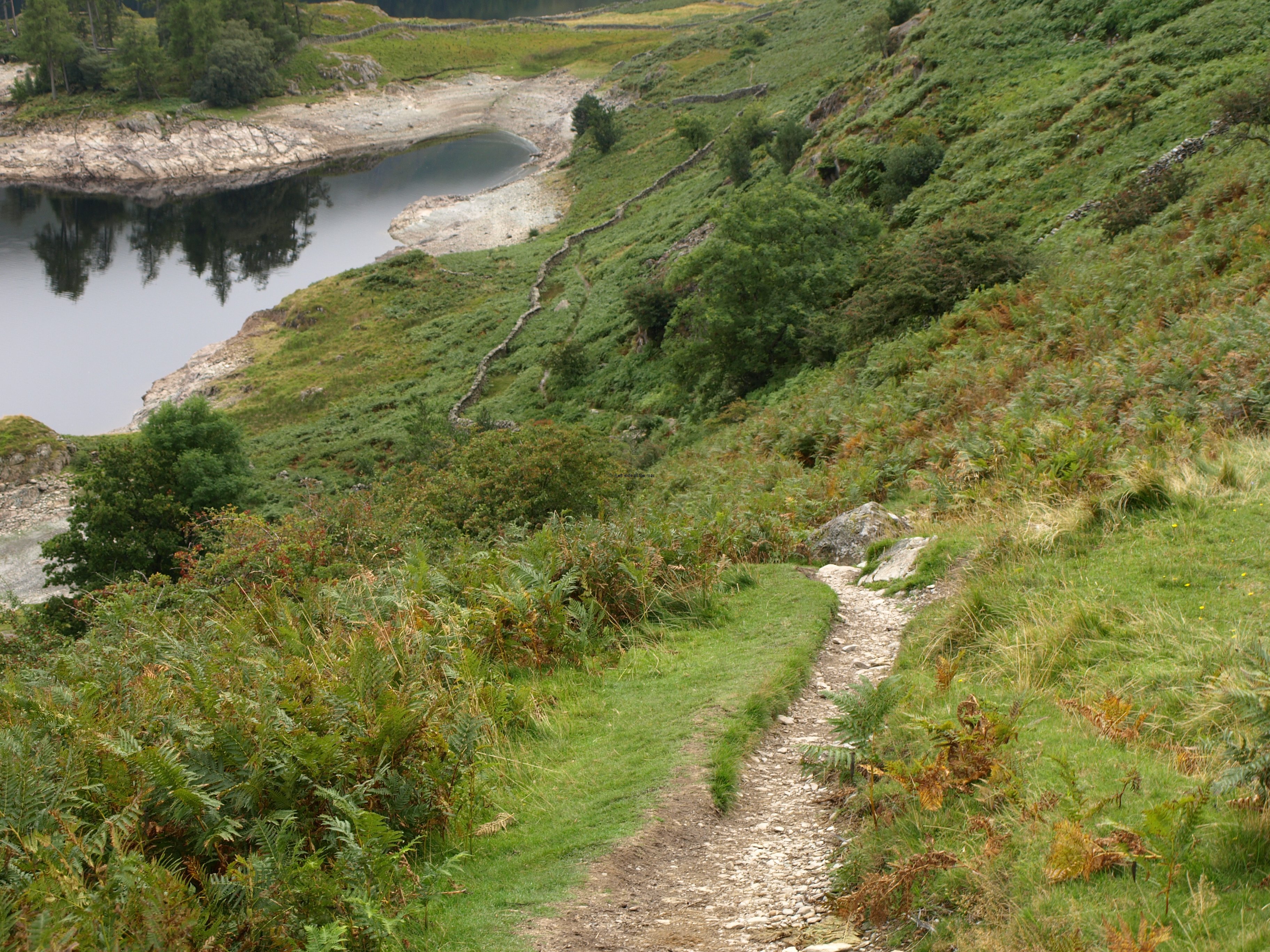
The descent was steep in parts and I’m definitely getting slow going down hill, perhaps not a problem if only out for a day but when there’s still another 8 days of walking until reaching the North Sea I want to protect the knee as much as possible, although it means that I’m doing strange and wonderful pirouettes to try to land each step with minimum force.
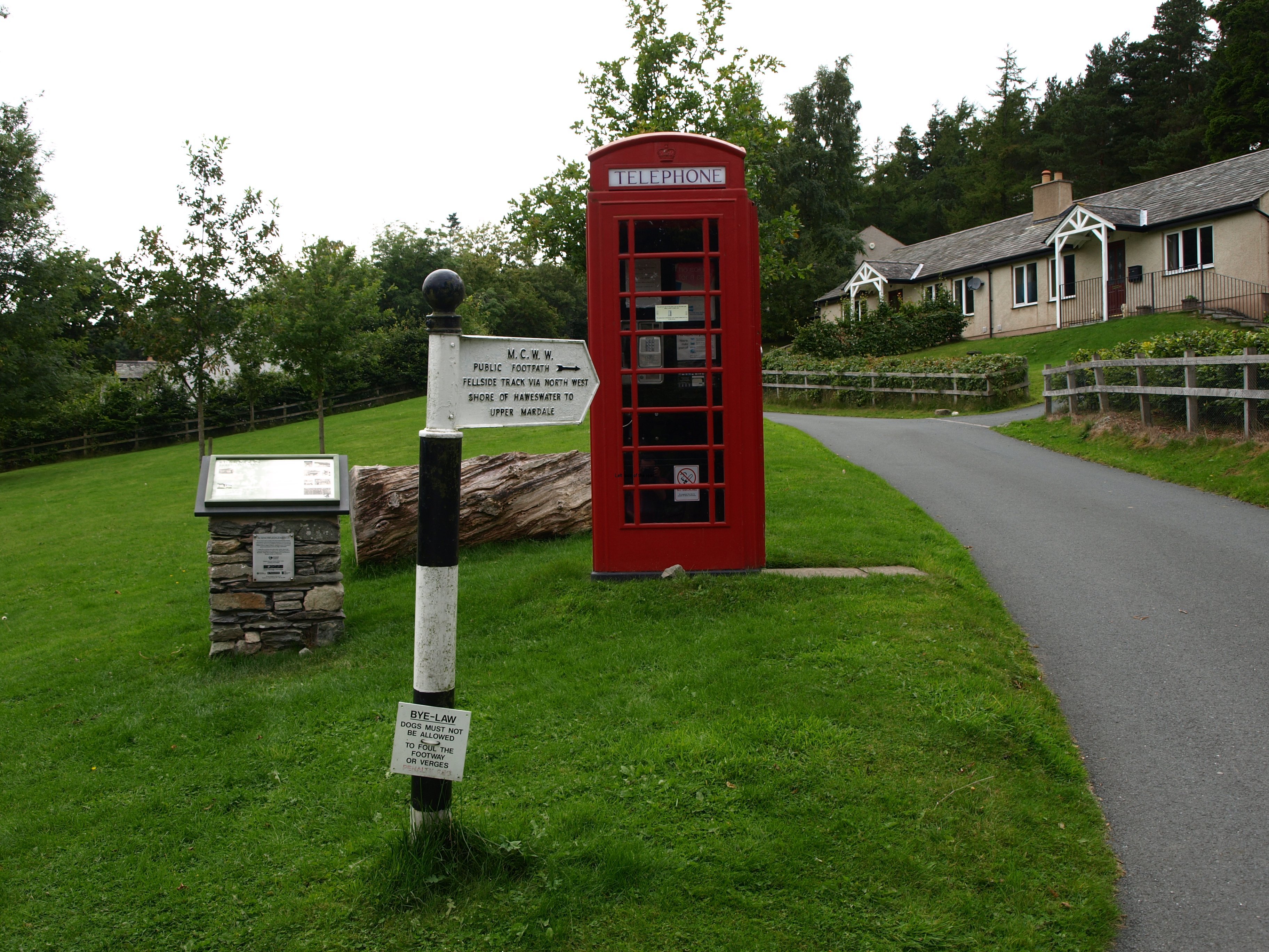
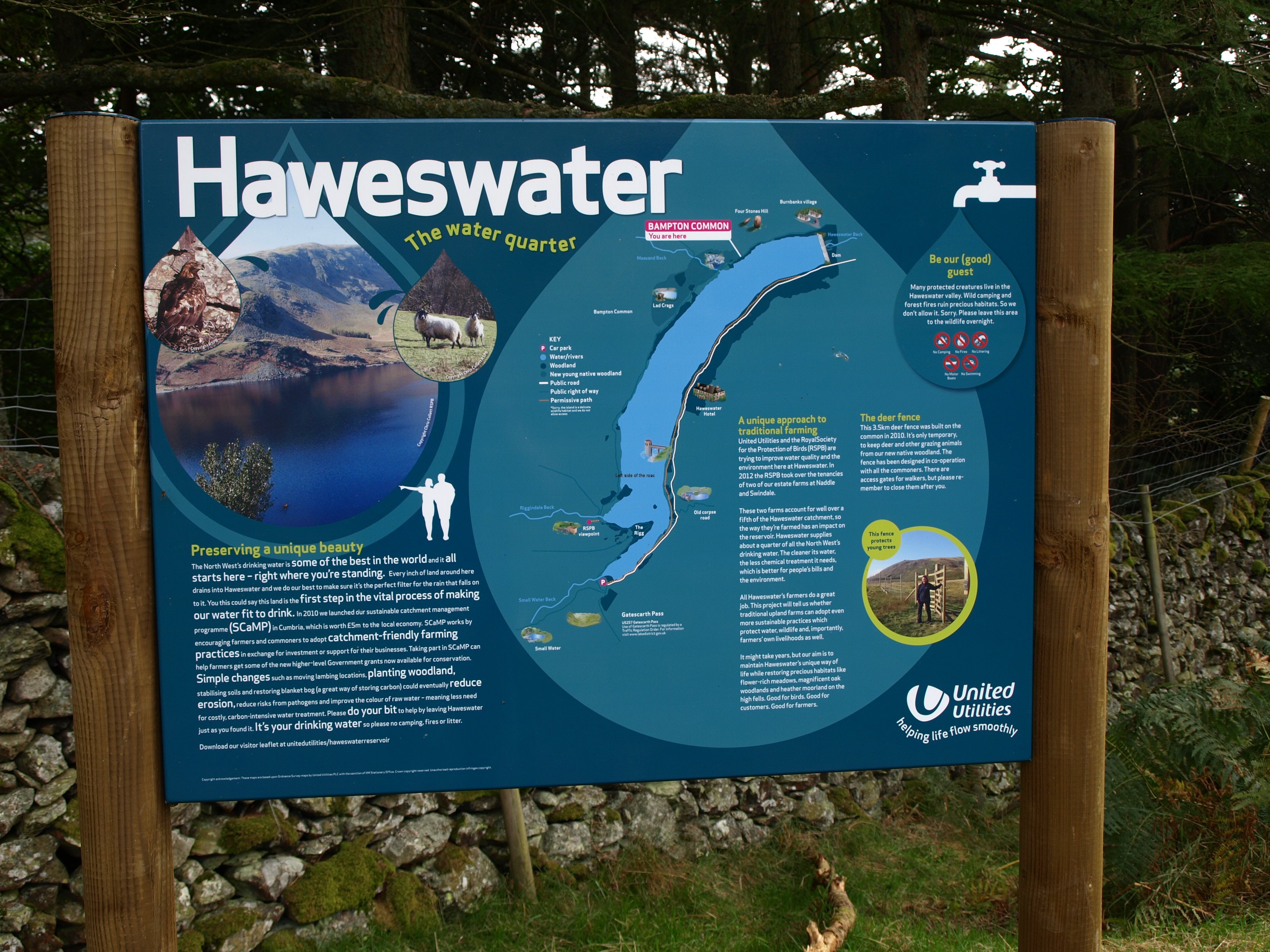
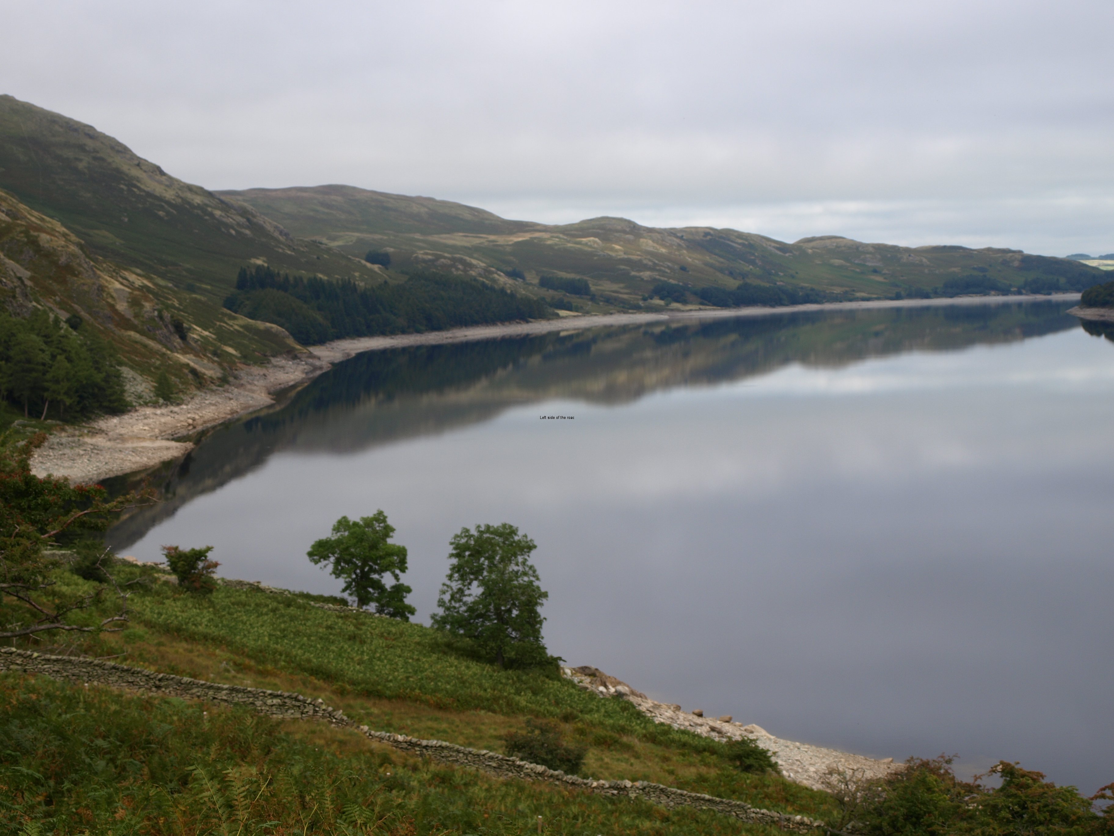
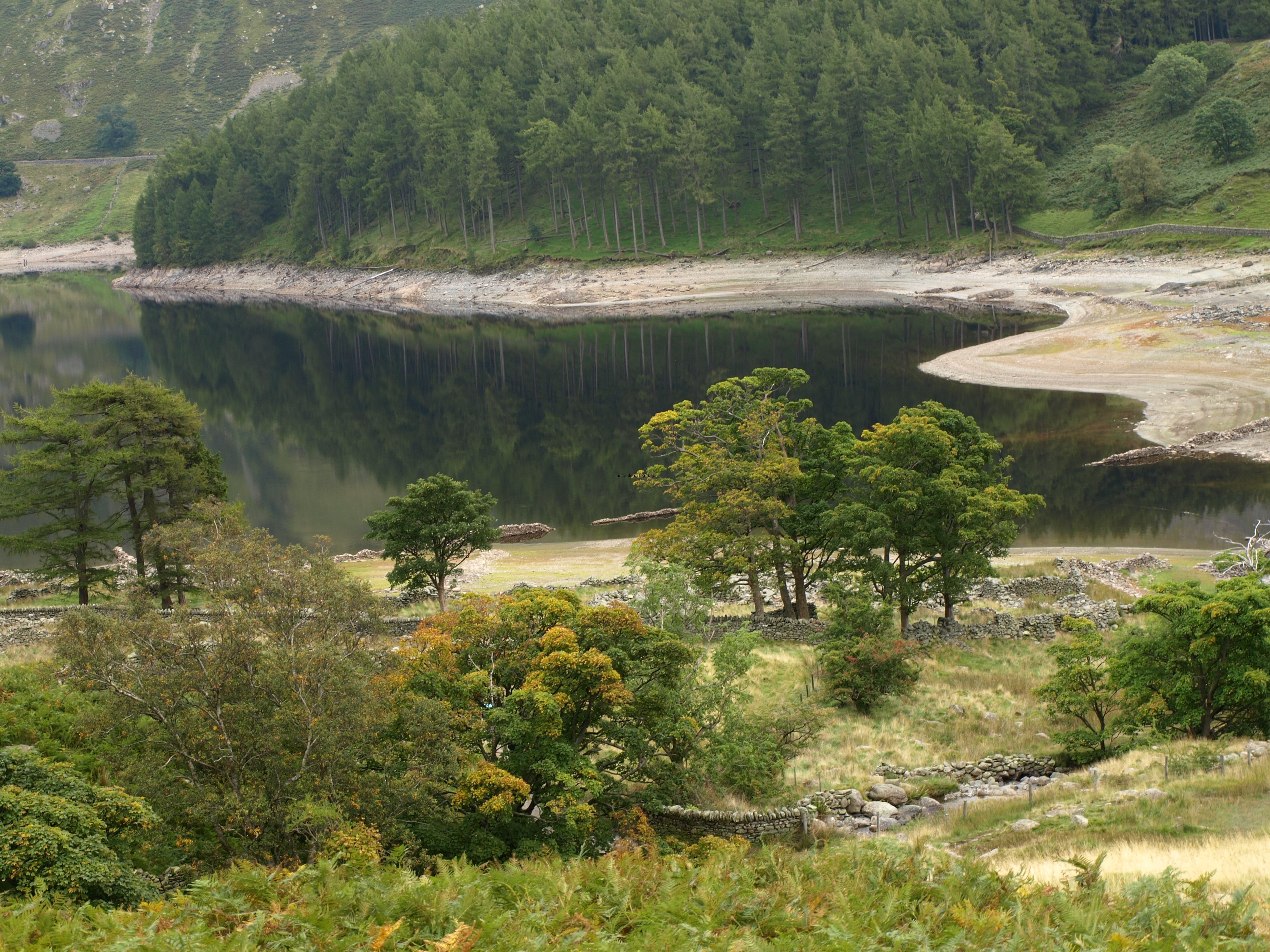
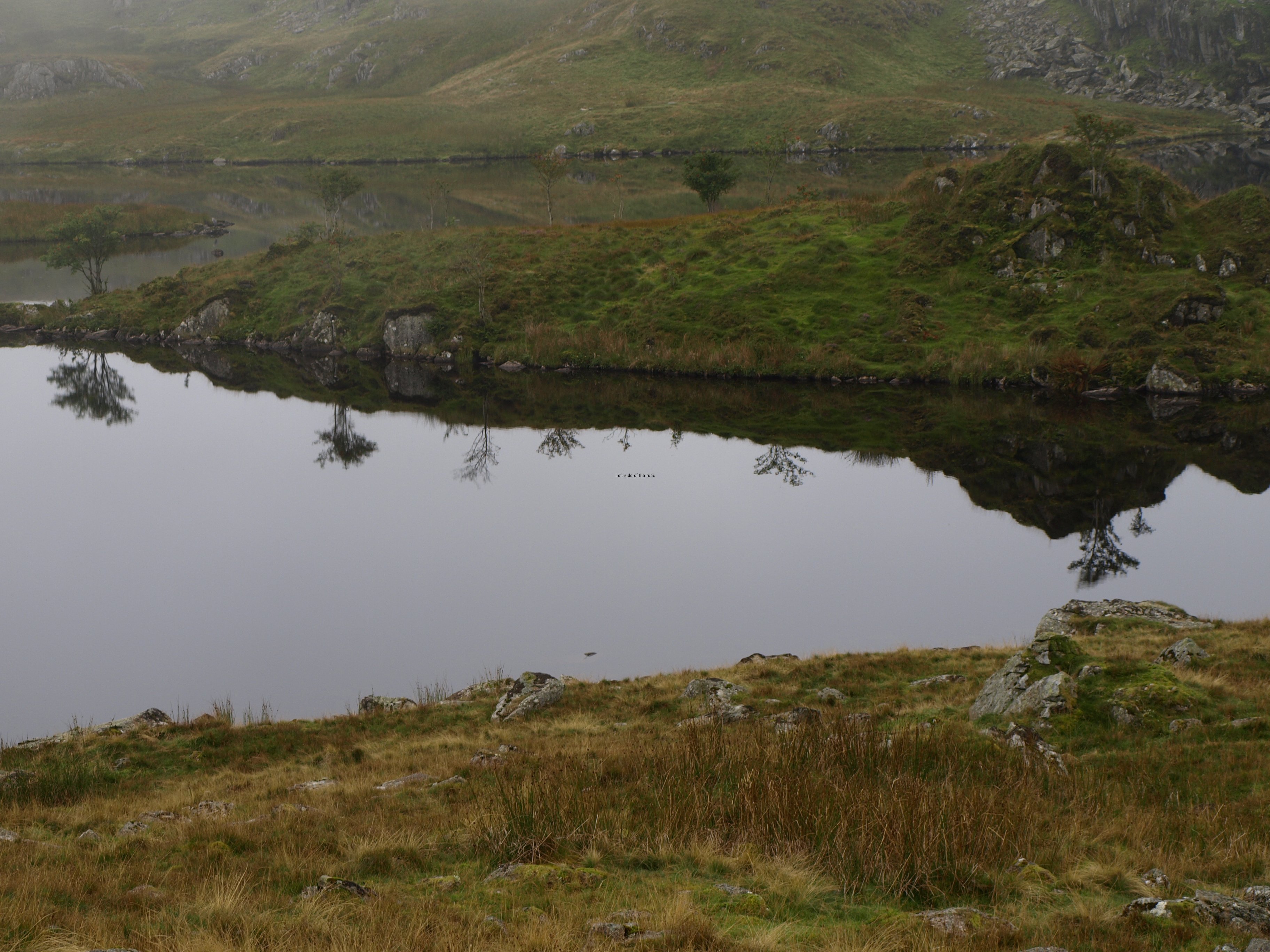
And at the bottom of the descent, arriving at the very southern end of Haweswater Reservoir, it looked a long, long way to the dam at the northern end. And it was. Not difficult, just long.
A bit too long, at times seemingly never-ending. And there were still two hours of walking after the dam in order to get to Shap. My timings for the day worked out more or less correct. I lost in places (getting lost, taking time with the Americans and then the careful steep descent) but gained a bit along the flat though started to flag by the end of the day. In the timings I’ve not factored in fatigue which I’ll have to take into consideration of a few of the days to come. And that fatigue is not helped by the pack, its weight now becoming a significant factor.
Nonetheless, I wasn’t the slowest on the route. I met, and passed, a number of people who had started out before me so although I might not still be up to my own timings I’m still better than many. I know some people took more than 12 hours on this route, almost arriving in the dark. I did it in 9 and thought that was pushing it. Any longer and I don’t want to be walking with my pack.
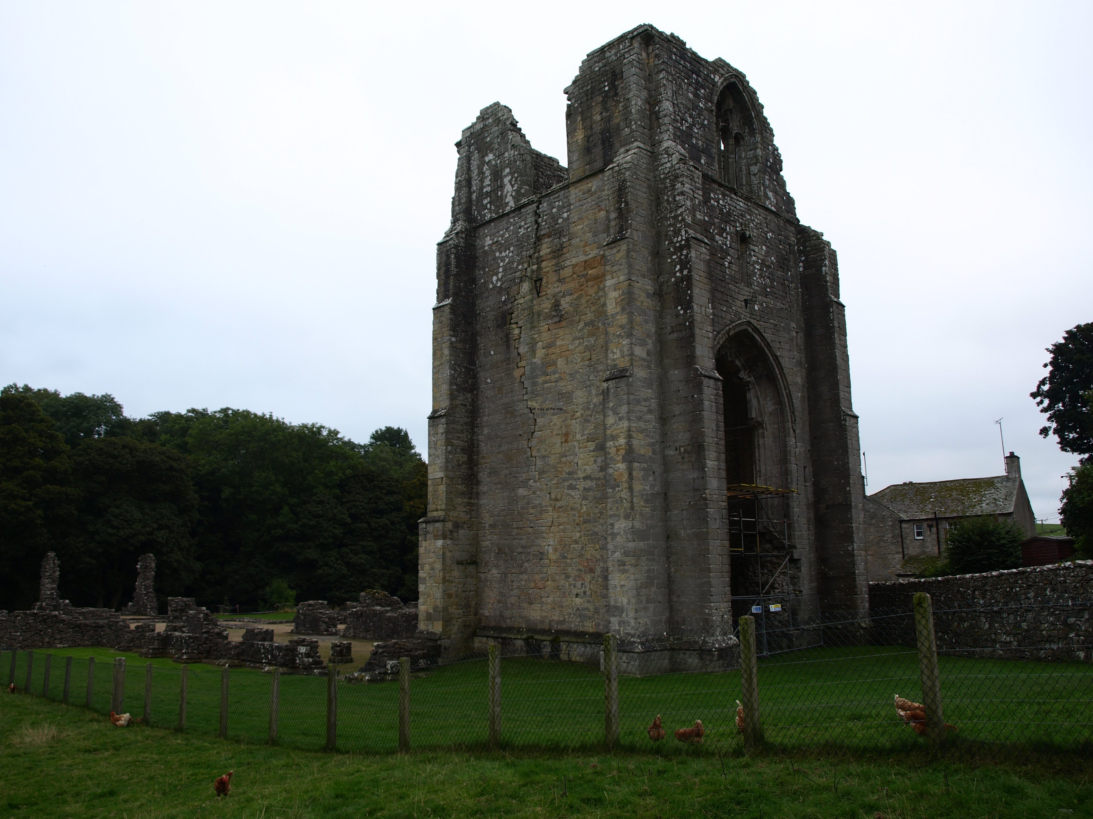
The last few miles, after the village of Brampton, seemed to go on forever. By the time I reached the ruins of Shap Abbey all it merited was a quick snap and a long curse as I realised there was a steep road climb to get out of the bowel in which it was constructed. In other circumstances would have had a quick look around but by that time, close to 6 o’clock, all I wanted was to find my bed for the night.
Tomorrow is long in terms of miles but without the same sort of ascent – so should be OK
As to physical decay there are lots of aches and pains, the normal inability to move once in my night’s lodging as the body has decided to shut down for the evening. The tops of the feet aren’t any worse, so I’m hoping that issue will slowly recede. Knee hurts, but going to look for some medication tomorrow to see if that can, at least, keep the discomfort tolerable.
And getting close to half way!
Although cloudy and overcast for much of the day I was still walking in a T-shirt and shorts from beginning to end.
So at 18.15 on Monday 23rd September it was 64 miles down and 136 to go
Practical Information:
Accommodation
New Ing Lodge. Had a single room for a reasonable price (£28.00 B+B), so no mark up for single travellers. Not en-suite. It felt quite quaint to be staying in a room with just a wash basin and having to queue or wait for a quiet period for the toilet/shower. Old house and every movement meant that the floors squeaked. Also, even with 3 foot thick walls you could still hear people talking.
Has its own little bar, but didn’t risk trying what they had on draught, a cold previously unknown bottle of cider (Green Orchard) was preferable.
Has free wifi, some places better than others for reception but it worked well in my room.
Does evening meals – didn’t try it as thought the cider was a better bet.


