Santa Rita Corozal – Belize

Santa Rita Corozal

Santa Rita Corozal

More on the Maya

Santa Rita Corozal – Belize

Location

Situated in a strategic position on a major trading route along the Caribbean coast and close to the Hondo and New rivers, Santa Rita enjoyed easy connections with inland sites such as Lamanai, La Milpa and other cities in Peten. Its main products were achiote, honey, vanilla and a variety of fish and molluscs, and it is said to have been particularly famous for the quality of its cacao. Objects imported from distant places have also been found, such as turquoise (which could have come from Peru or the south-west of the United States), Plumbate ceramics (Guatemala), objects of copper and gold of varying provenances and gold ear ornaments possibly of Mexican origin (central Mexico). All of this reinforces the hypothesis that Santa Rita was an important port of trade. Much of the site has been destroyed by the development of the present-day Corozal; its structures have been dismantled and many of the stones from the old buildings have been incorporated into streets, plinths and modern constructions. Originally, the site extended much further to the north and south-west of Corozal. Nowadays, it is situated on the outskirts of the city, on the edge of the Northern Highway leading from Belize City to the Mexican border. It can be reached by car or public transport. From Corozal, head northwest along the highway and after a kilometre or so you will see a statue where the road veers to the right. Take the next turn left and the entrance to Structure 7 is a few metres beyond Hennessy Restaurant.

History of the explorations

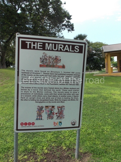
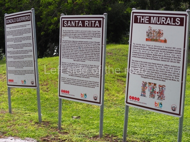
At the beginning of the 20th century, Thomas Gann made a rough map of the site, conducted several excavations and discovered a Mixteca-style (from Oaxaca) mural in Structure 1. Nowadays nothing of this mural remains and Gann was unable to complete his record as not long after its discovery it was destroyed by the local inhabitants. However, Gann’s drawings and detailed record have survived. The mural corresponds to the Postclassic period and has been dated to between AD 1350 and 1500. Similar murals were found in Structure 16 at Tulum (Quintana Roo, Mexico). In 1979 Structure 1 was bulldozed. At the beginning of the 1970s, Ernestene Green, Duncan C. Pring and Raymond V. Sidrys conducted minor excavations. Subsequently, between 1979 and 1985, Diane and Arlen Chase from the University of Central Florida led the Corozal Postclassic Project, which involved the excavation and consolidation of Structure 7. What remains of the site today, the central part, is situated inside an archaeological reserve.

Pre-Hispanic history

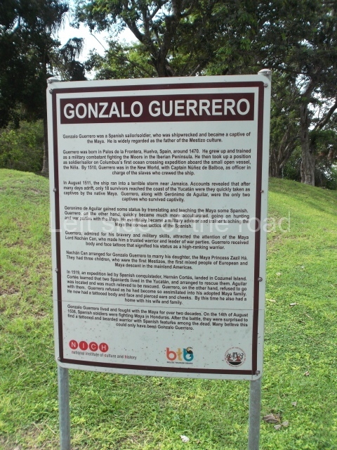
Although Santa Rita is best known for its importance during the Postclassic period, when the site experienced its heyday, the earliest settlers arrived around 1000 BC. Ceramics from the Swasey phase – the oldest in the Mayan lowlands – have been found. Santa Rita boasts one of the longest sequences of occupation in Belize, commencing in the Middle Preclassic and culminating in the Postclassic and even the period of contact with the Spaniards. It was abandoned towards the end of the 16th century. The archaeological area of Santa Rita is widely believed to have been the famous city of Chetumal (Chactemal province), which is mentioned in sources from the 16th century and formed part of the League of Mayapan. When the Spaniards arrived it was an important port. Its strategic position appealed to the conquerors, who decided to establish a base there. In 1531 Francisco Montejo sent Alonso Davila to take control of the site, but on his arrival he discovered the city to have been abandoned. Davila established his base and called it Villa Real. The supposed abandonment of Santa Rita was in fact part of a Maya strategy, and the original occupants launched a counter-attack and recovered Chetumal. And then the strangest thing occurred: Nachancan, the governor of the city, had a Spanish son-in-law, Gonzalo Guerrero, the survivor of a shipwreck off the south coast of Jamaica in 1511. Guerrero is regarded as the ‘father of the mestizos’ because he married a Maya woman, had children with her and adopted the local customs. It is said that he eventually became Nachancan’s military advisor and participated in various battles against the Spanish. Eighteen months later, the Maya forced the Spanish to retreat south, to Honduras.

Site description

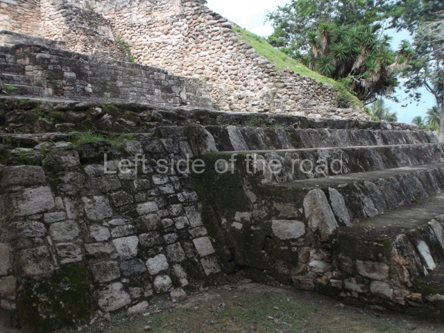
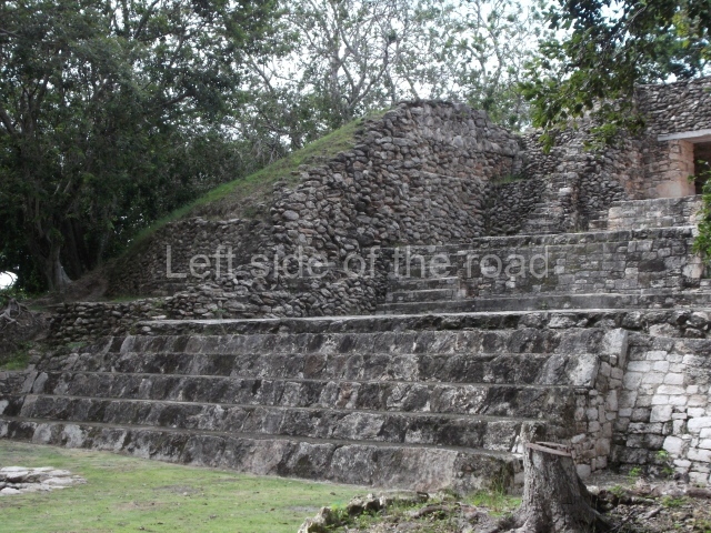
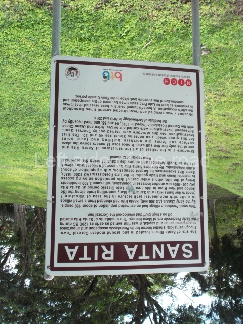
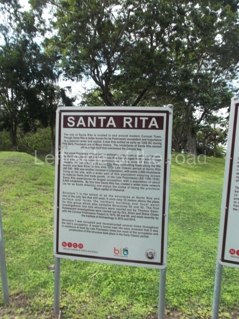
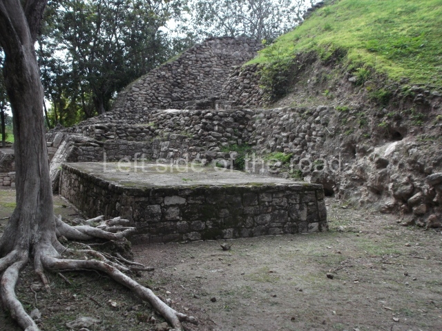
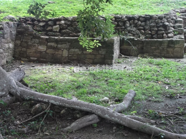
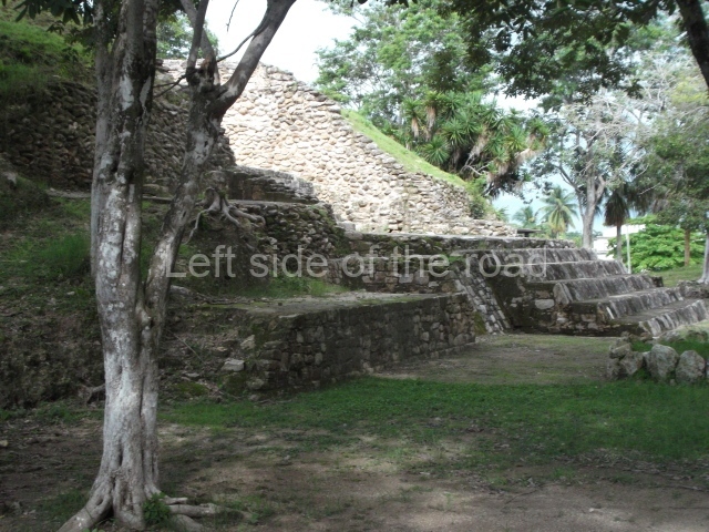
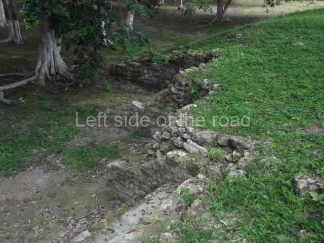
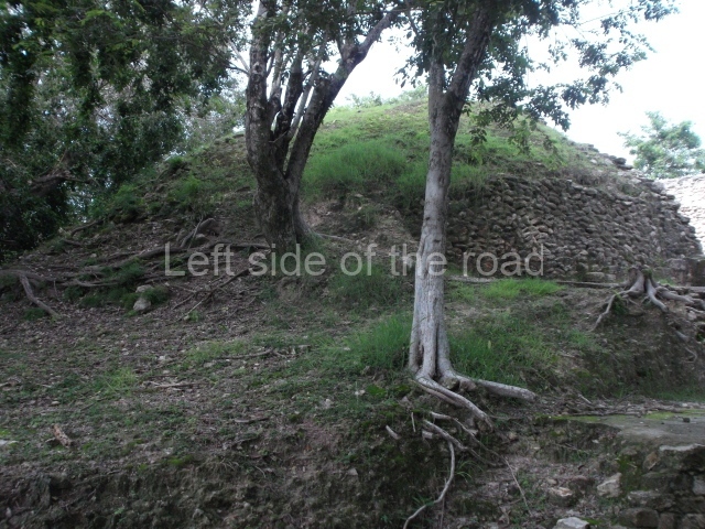
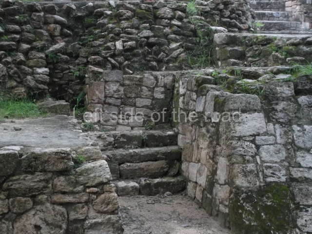
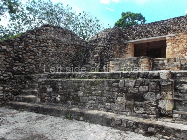
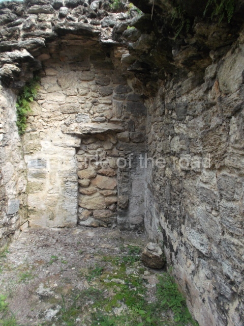
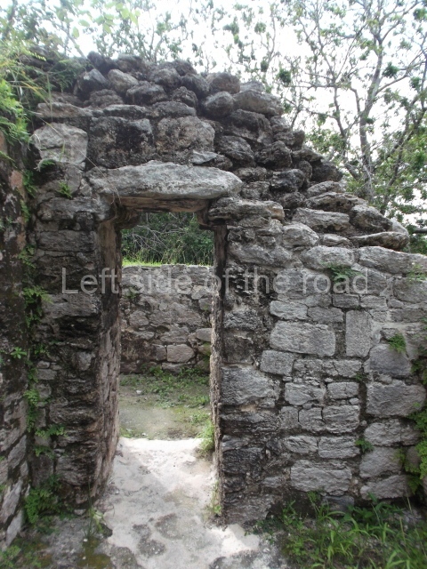
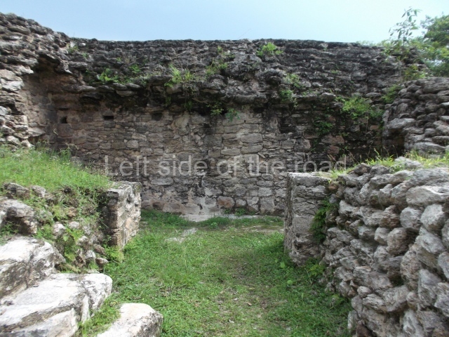
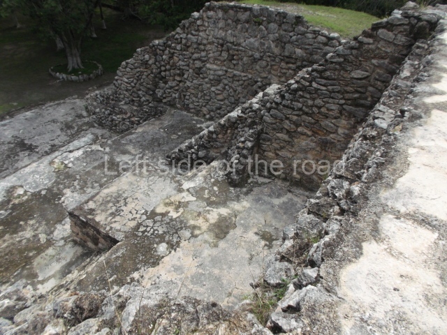
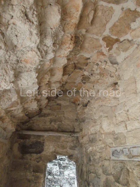
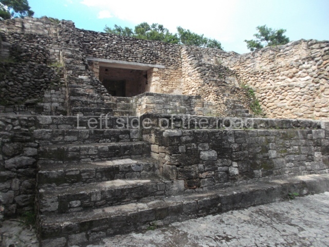
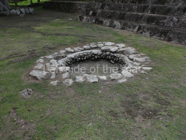
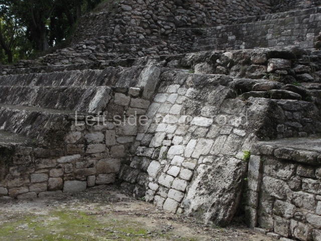
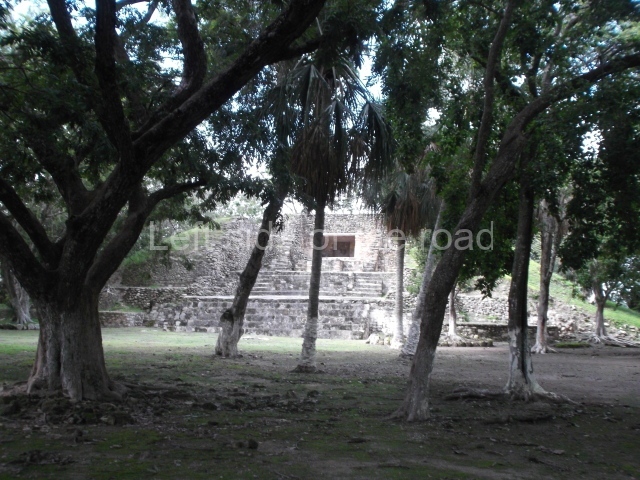
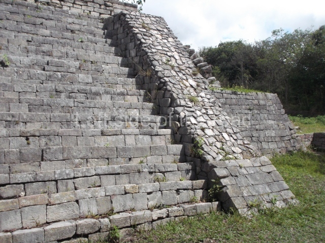
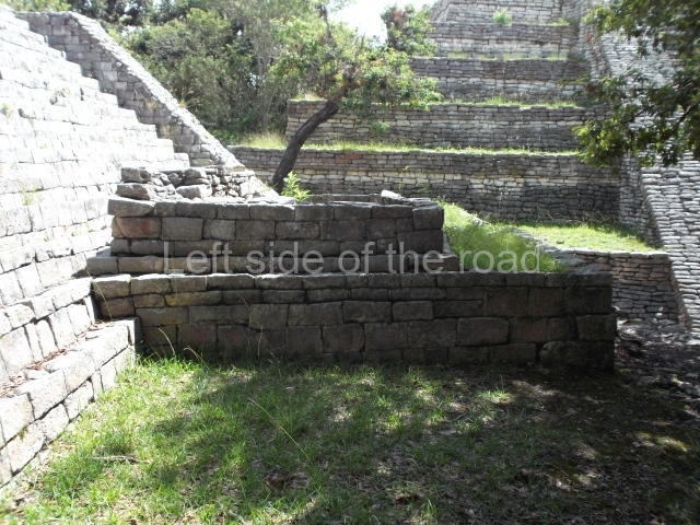
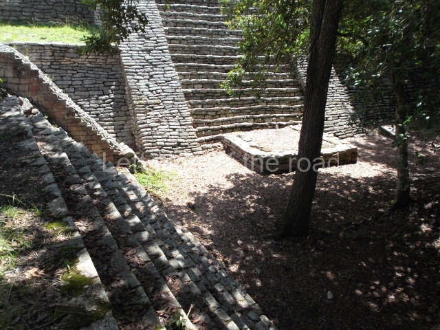
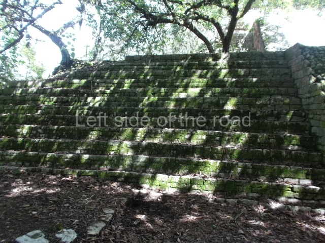
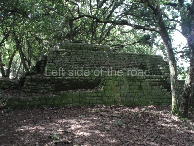
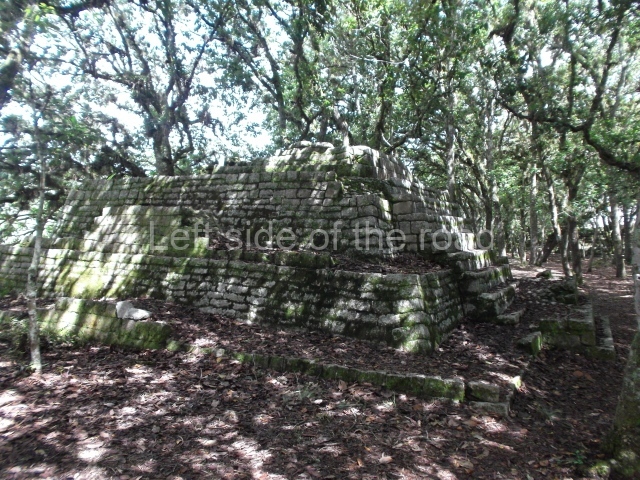
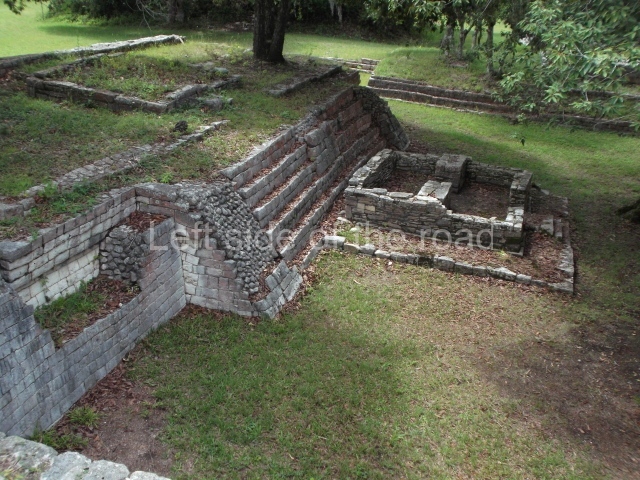
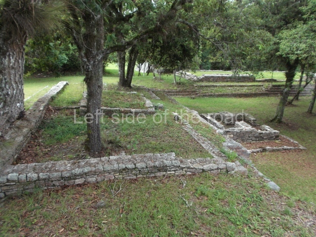
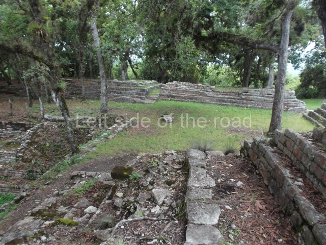
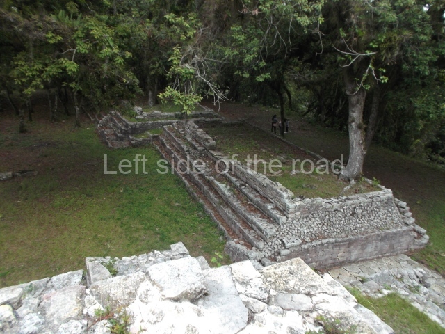
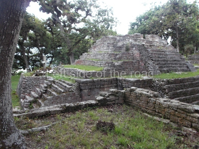
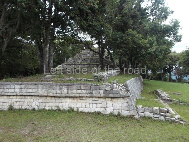
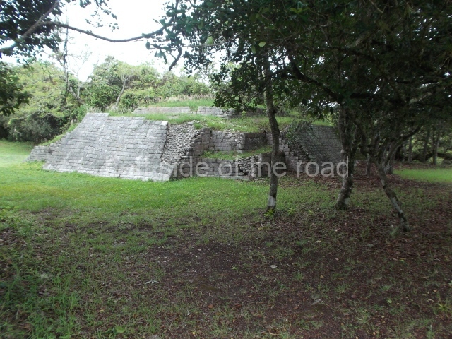
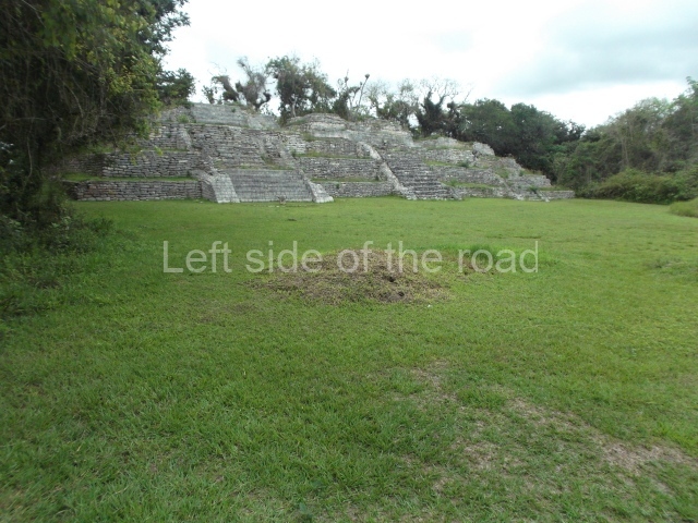
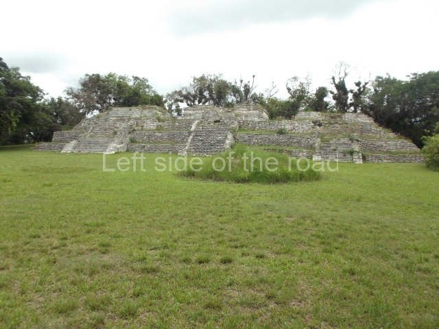
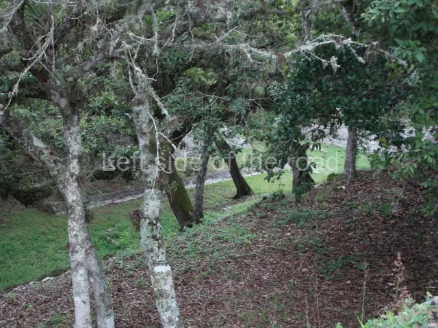
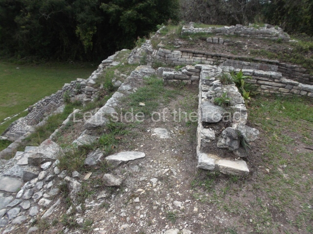
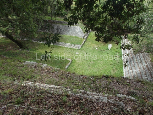
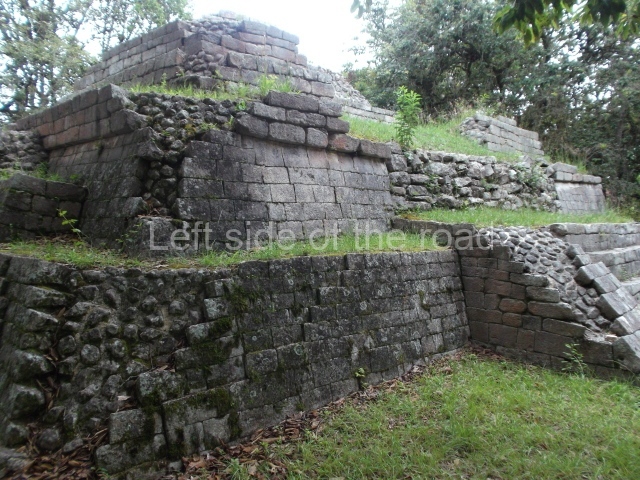
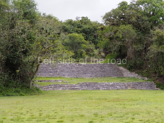
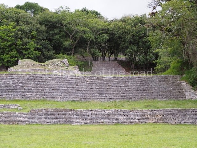
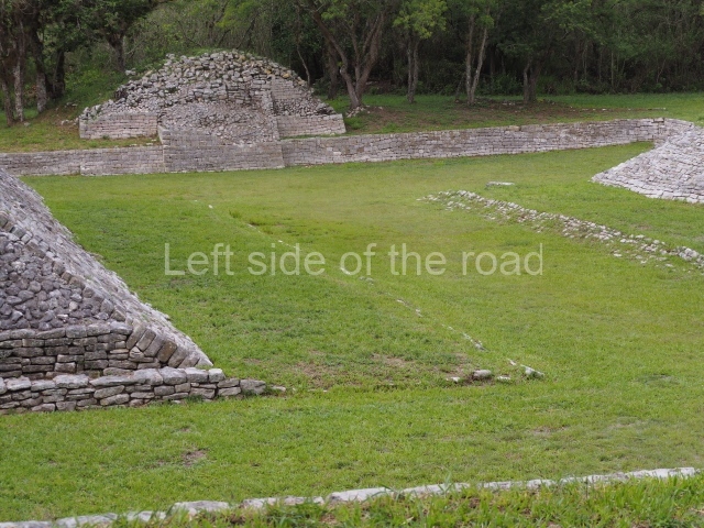
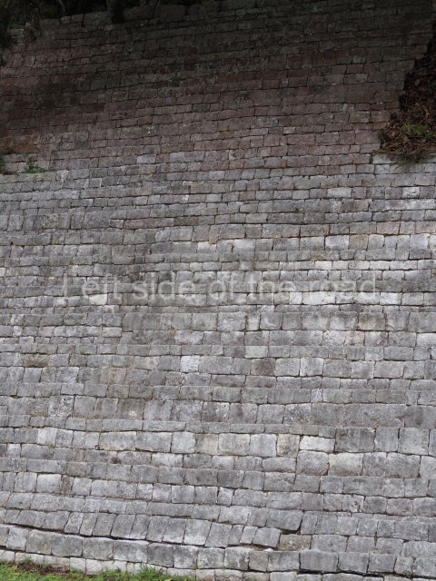
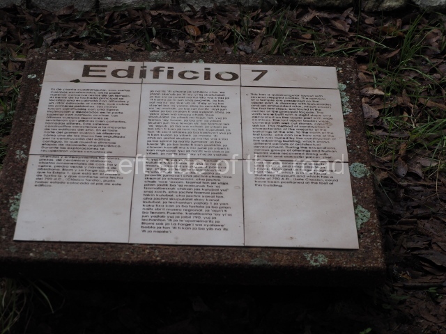
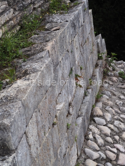
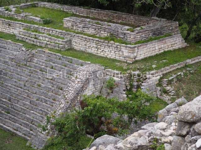
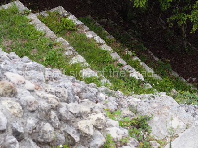
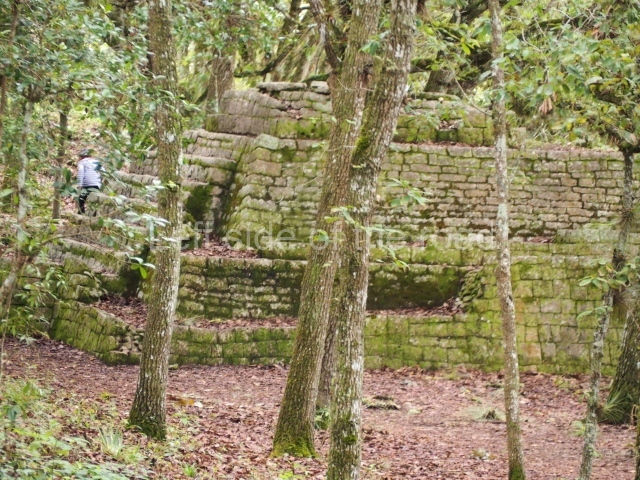
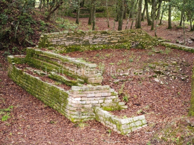
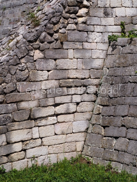
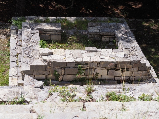
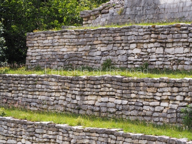
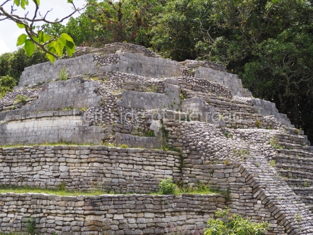
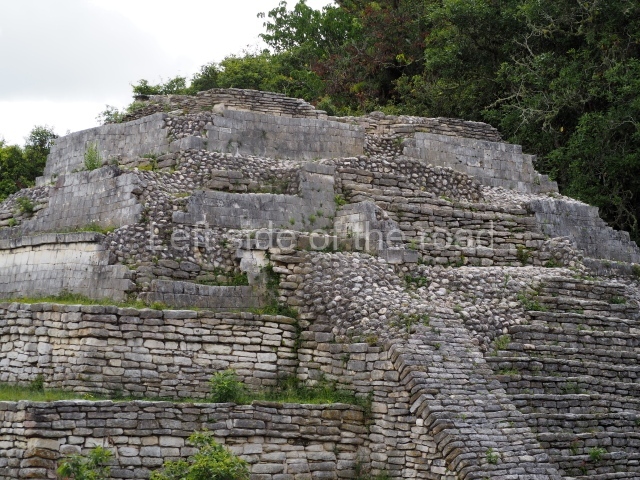
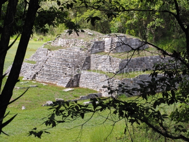
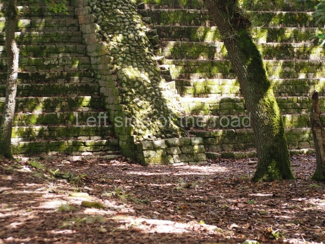
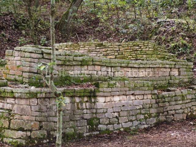
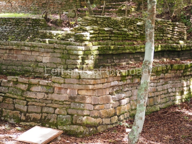
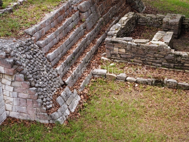
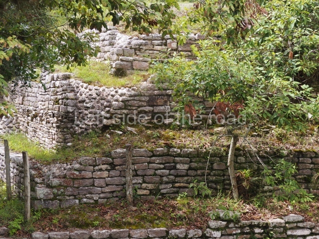
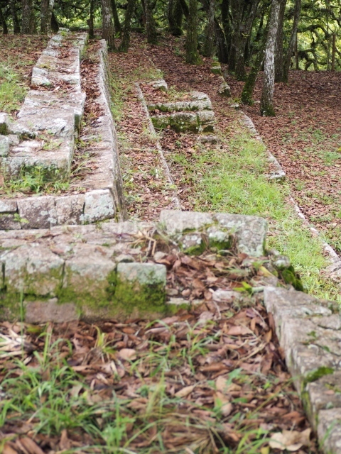
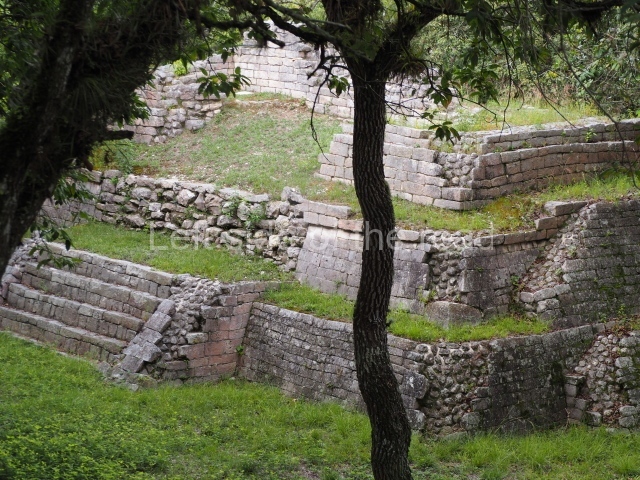
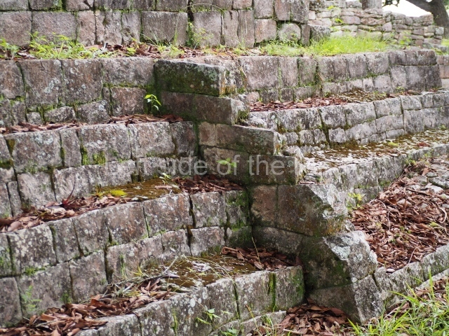
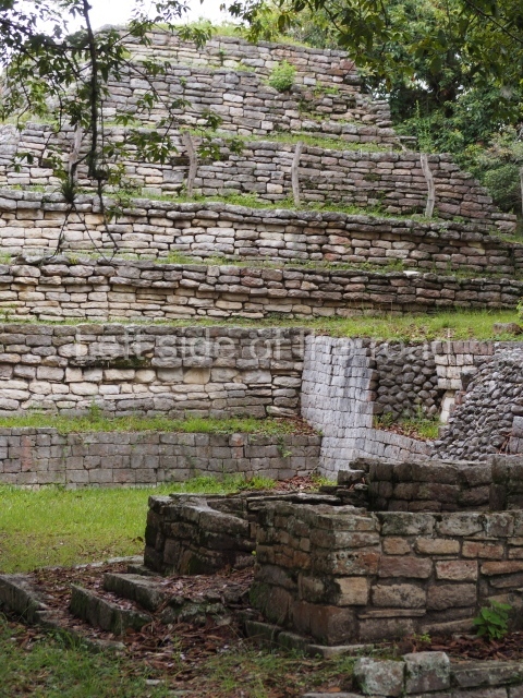
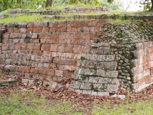
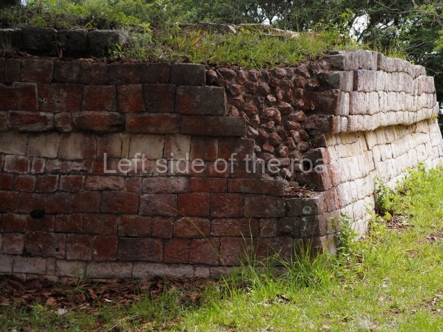
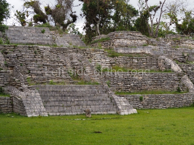
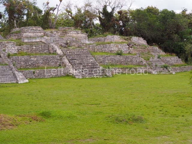
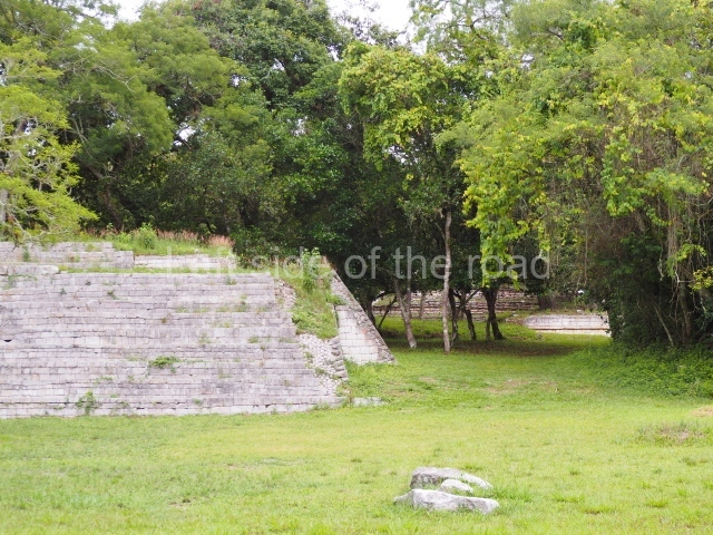
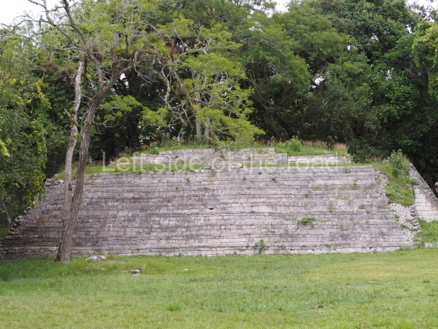
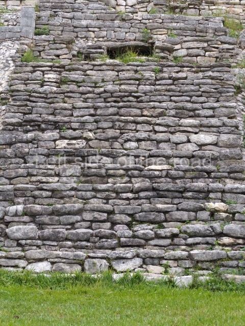
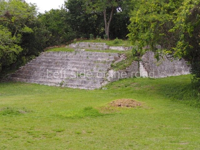
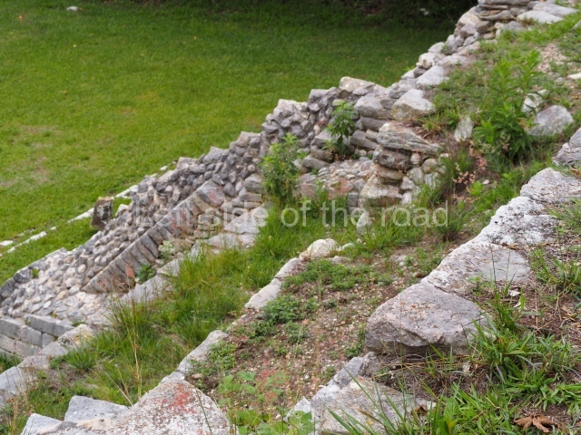
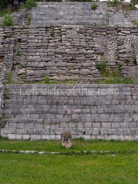
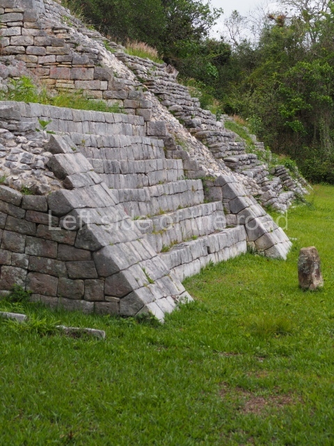
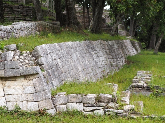
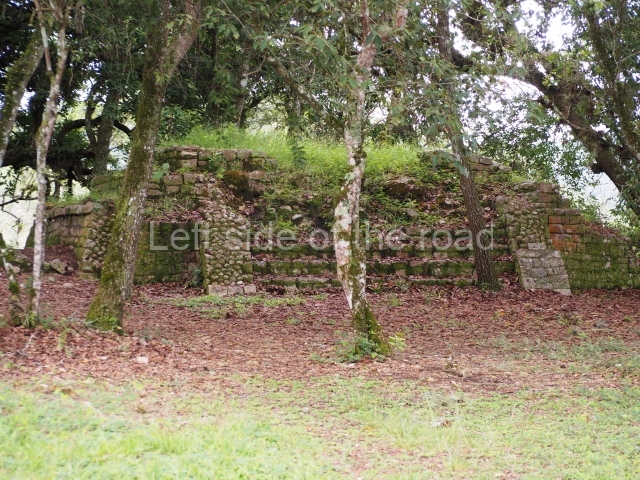
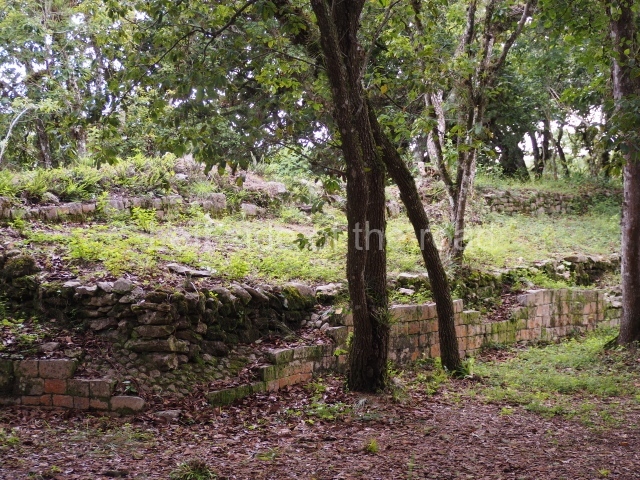
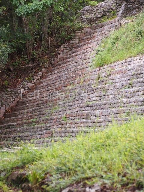
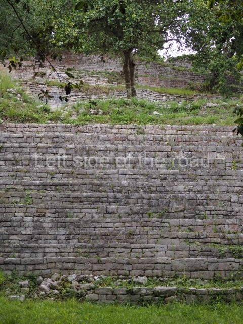
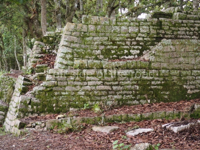
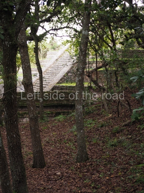
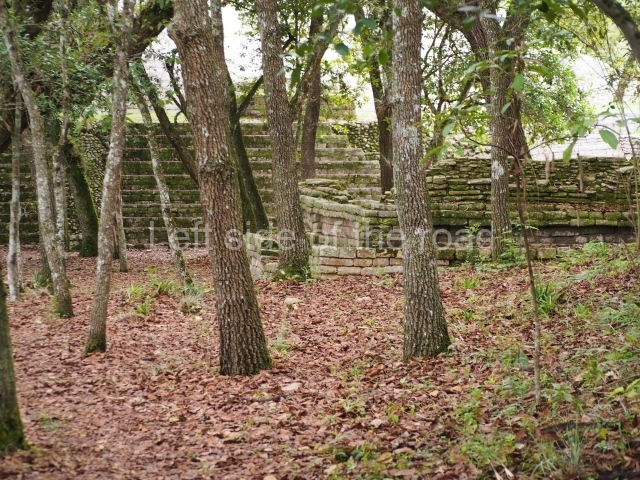
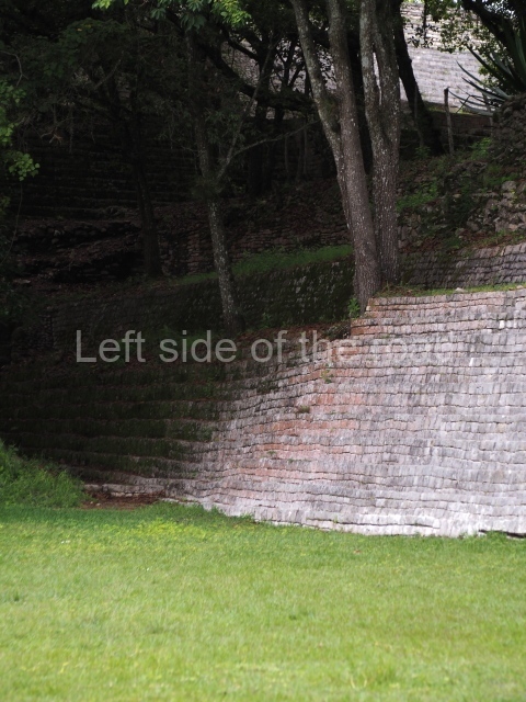
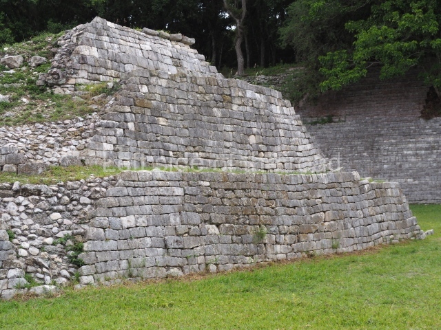
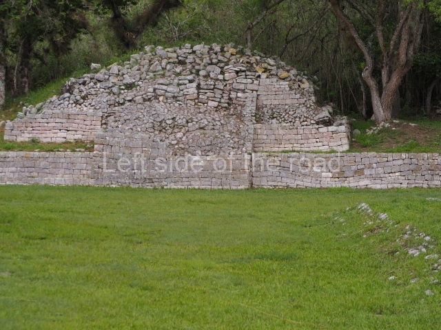
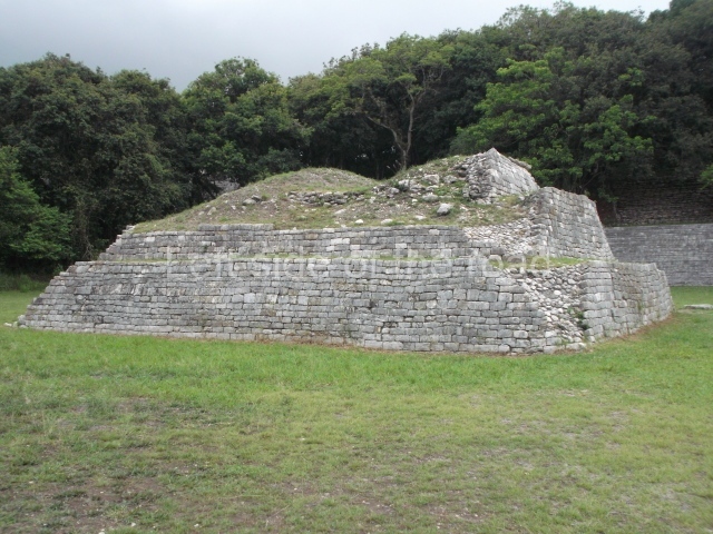
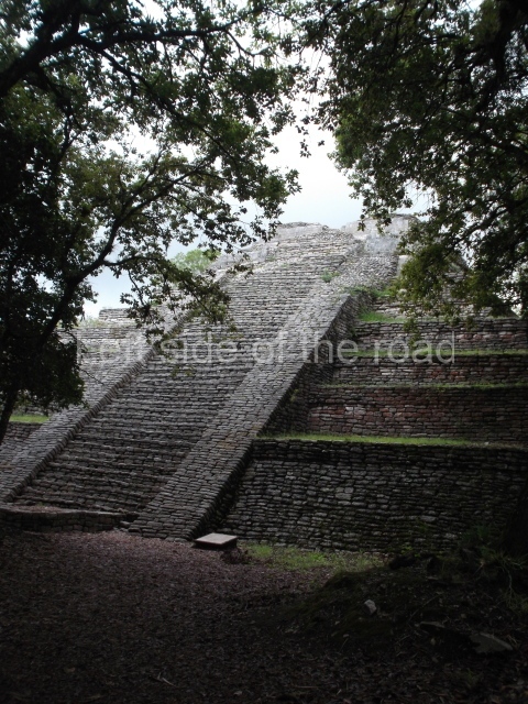
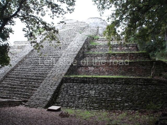
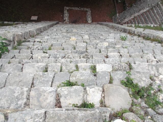
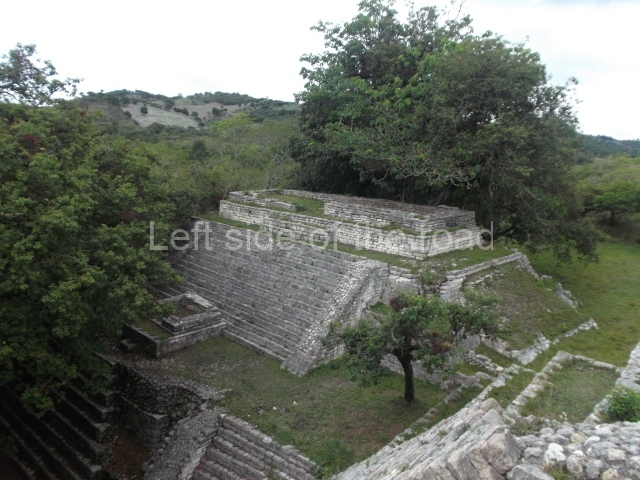
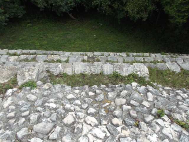
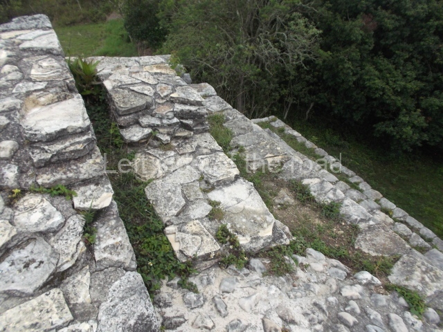
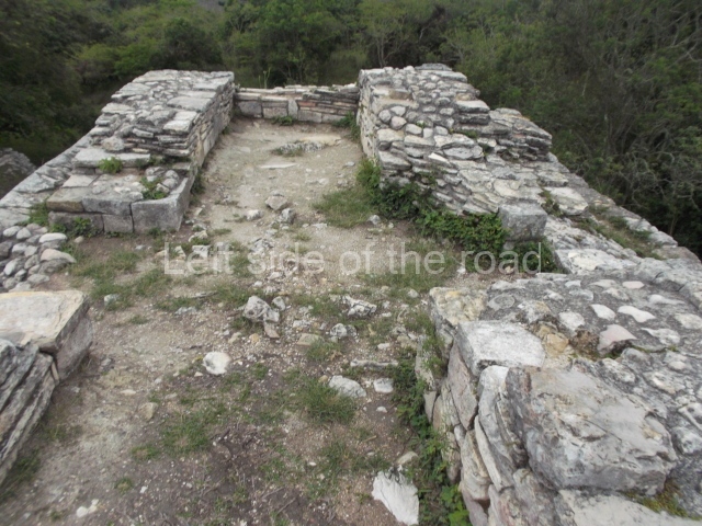
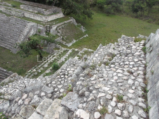
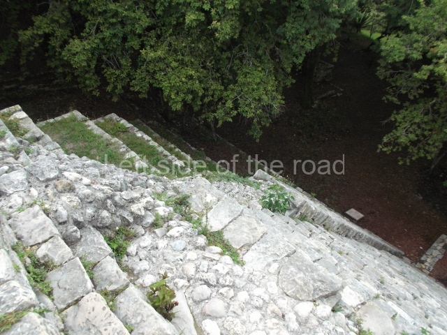
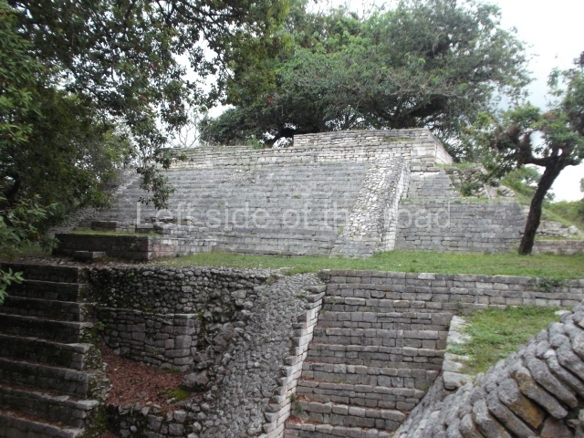
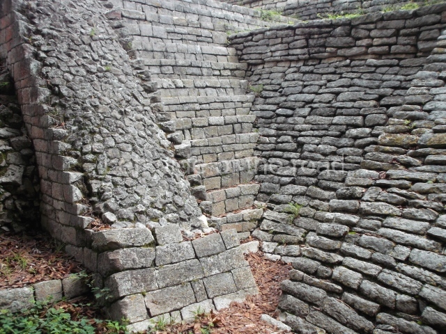
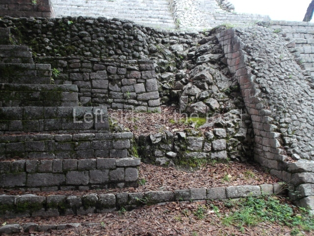
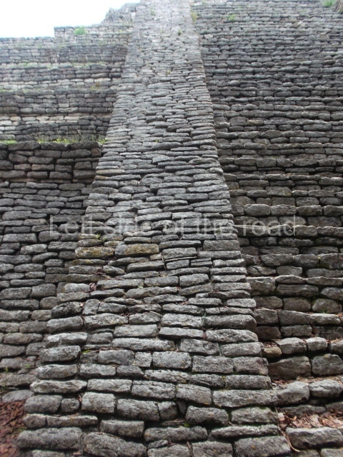
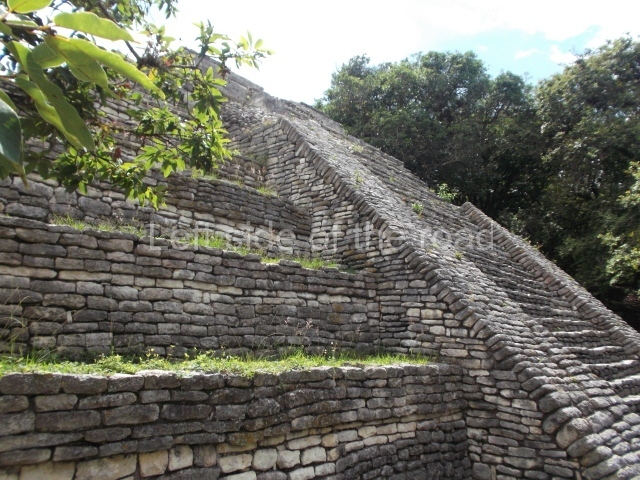
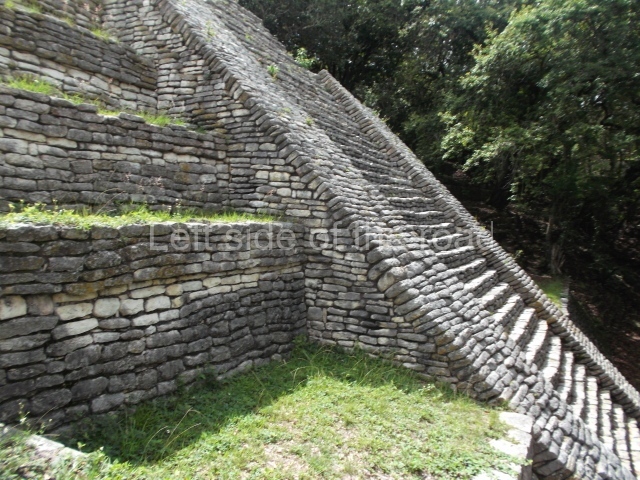
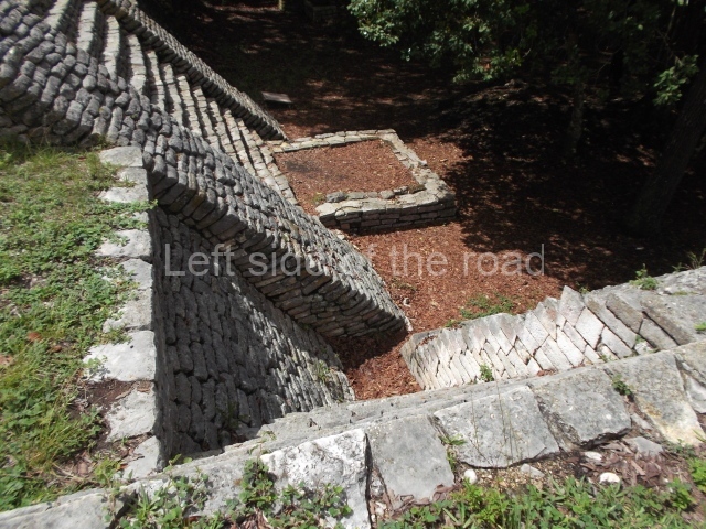
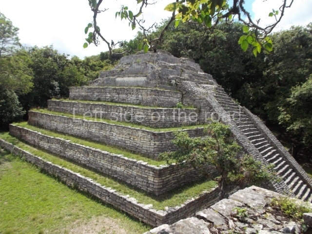
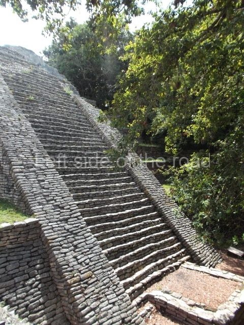
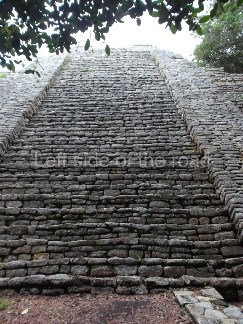
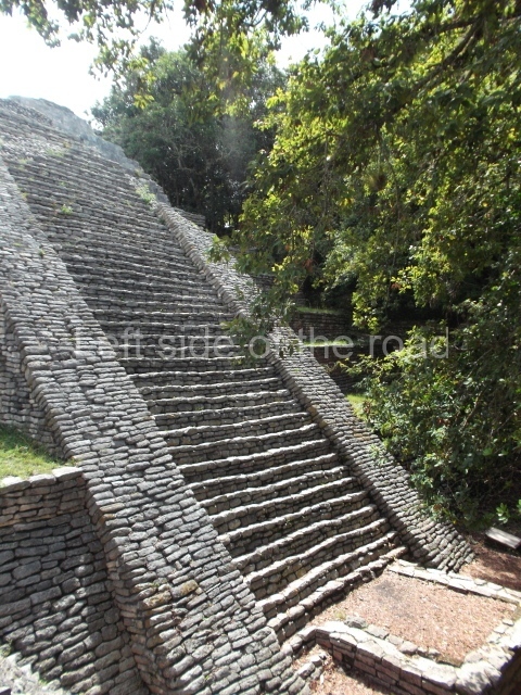
The only interesting building is Structure 7, the tallest and largest construction on the entire site. Its facade faces south, overlooking a plaza surrounded by mounds. It has various sub-structures, the most notable of which is the third one, a building with several rooms – three in a row and one on each side. This sub-structure was the only construction phase whose architecture was found in a relatively good state of preservation when the building was excavated, and it was therefore left visible and consolidated to accommodate visits by the public. The earliest part of the structure dates from the Late Preclassic, but it was subsequently remodelled and expanded until the Late Classic. It continued to be used during the Early Postclassic and an intrusive burial dating from the Late Postclassic was found on the stairway. The third sub-structure corresponds to the Early Classic and beneath the floor of the central room the burial of an elderly female was found, along with a wide variety of objects. The slightly later burial of an adult male was found in a tomb below the room at the front of the building. Due to the elaborate grave goods found, including a jadeite and shell mask, researchers believe that the person interred was an important ruler. During its final construction phase (Late Classic), the building stood approximately 17 m high. As a coastal site, it is surrounded by low rainforest and the land in the central part is not as fertile as in other areas to the north, near the River Hondo, where the Maya created raised fields to improve their farming productivity. Due to its location within the city of Corozal, the site can be easily accessed by tourists. Meanwhile, its situation by the sea creates an extraordinarily scenic setting.

From: ‘The Maya: an architectural and landscape guide’, produced jointly by the Junta de Andulacia and the Universidad Autonoma de Mexico, 2010, pp264-266.

How to get there:

From Corozal. Follow the road from the bus station that heads towards the Mexican border until you come to a roundasbout. Continue straight ahead and take the first road on the right, then a left and the site entrance is right in front of you.

GPS:

18d 24’ 08” N

88d 23’ 42” W

Entrance:

B$10

More on the Maya

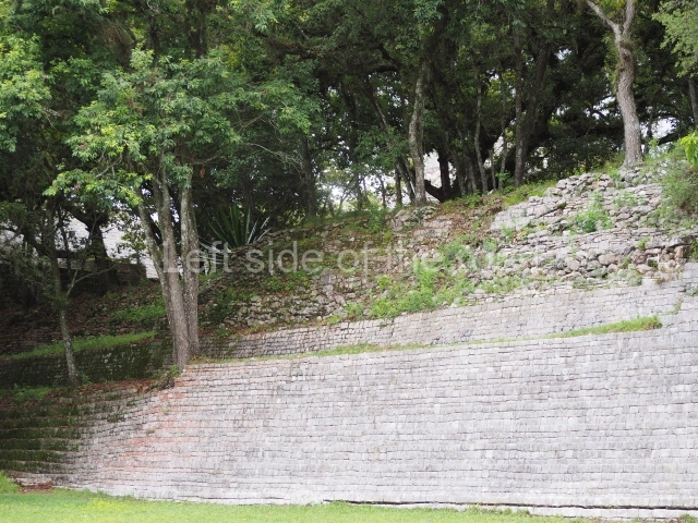
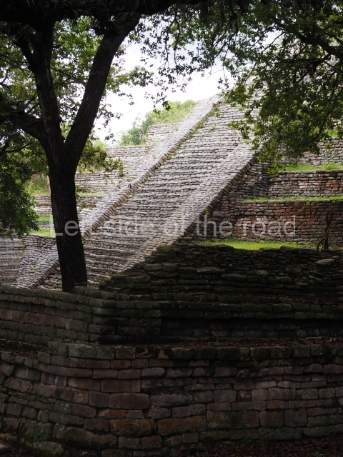
Tenam Puente – Chiapas – Mexico

Tenam Puente - Chiapas

Tenam Puente – Chiapas

More on the Maya

Tenam Puente – Chiapas

Location

From the point of view of its physical geography, the Comitan Plateau situated in the eastern Chiapas Highlands presents groups of moderately high elevations ranging between 1,600 and 2,000 m above sea level; the climate is mild, with an average annual temperature of 24° C and a rainy period between June and October. The vegetation, nowadays greatly transformed, comprises some of the original pine forests and different varieties of oaks or holm oaks. There are also large quantities of bromelias and orchids, which are used as offerings in the various traditional religious processions held in the region. Due to the local karst characteristics, defined by permeable limestone soils, large masses of water are very infrequent; the Rio Grande is the only river that crosses the Comitan Valley and flows into the Montebello Lakes. For the ancient Maya groups who populated the highlands, the physical geography played a key role in the location and construction of their ceremonial centres. Elements such as caves, springs, cenotes and mountains were regarded as holy places, manifestations not only of the sacred but also of earthly power. Proof of this is the diversity of constructions to be found at the numerous pre-Hispanic settlements on the hilltops surrounding the Comitan Plateau, including the site known as Tenam Puente. The word Tenam is derived from the Nahuatl tenamitl, meaning ‘fortified place’. The second name is a reference to the old ‘El Puente’ (‘Bridge’) estate that once existed on what is now the heart of the cooperative in the village of Francisco Sarabia. According to the Danish explorer Frans Blom, the name Tenam was habitually used in the region to refer to the groups of hilltop mounds. The turn-off for the site is situated 10 km south of Comitan, on the Pan-American Highway.
Pre-Hispanic history

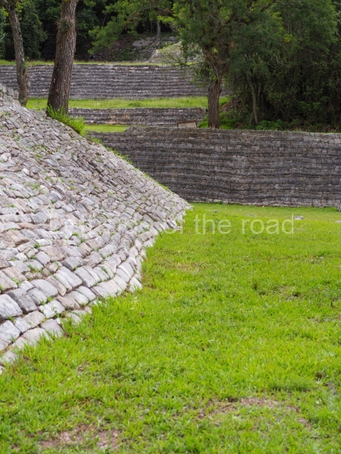
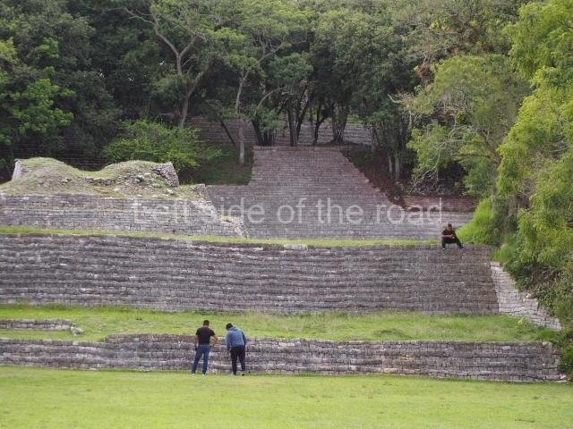
This site was one of the most important polities in the eastern Chiapas Highlands, occupying a prominent place in the ritual landscape not only during pre-Hispanic times but nowadays as well. The Acropolis was conceived as a sacred space with clearly defined circulation areas. We now know that this was the result of successive construction phases consisting in the modification and levelling of the hill through terraces excavated at different heights. The presence of three ball courts denotes the importance of the site within the region; to date, no other site with so many ball courts has been found either in the Comitan Valley or in the neighbouring areas. Situated in a mountain range separating the warm land from the cold land, Tenam Puente must have participated in the trade networks between the two regions.

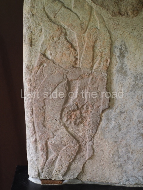
Despite the ceramic remains from the Late Preclassic found in the eastern and uppermost section of the Acropolis, the architectural expansion of the site commenced in the Early Classic, when the western section of the Acropolis was defined. When the majority of the sites in the lowlands had been abandoned at the end of the Late Classic, Tenam Puente and other nearby sites such as Hunchavin, Chinkultic, Tenam Rosario and Santa Elena Poco Uinic continued to be occupied. The tradition of erecting stelae was a relatively late arrival in the Comitan Valley. The only complete monument that has survived to this day is currently on display at the Regional Museum of Tuxtla Gutierrez. Due to its stylistic similarities with the stelae in the Usumacinta region, Frans Blom and Oliver La Farge attributed the date of this monument to 9.18.0.0.0 in the Maya Long Count (AD 790). The presence of cultural traits from the Maya lowlands suggests a vast migration to the plateau at the end of the Late Classic. Other fragments of stelae depict a warrior with a spear grasping a prisoner by the hair.
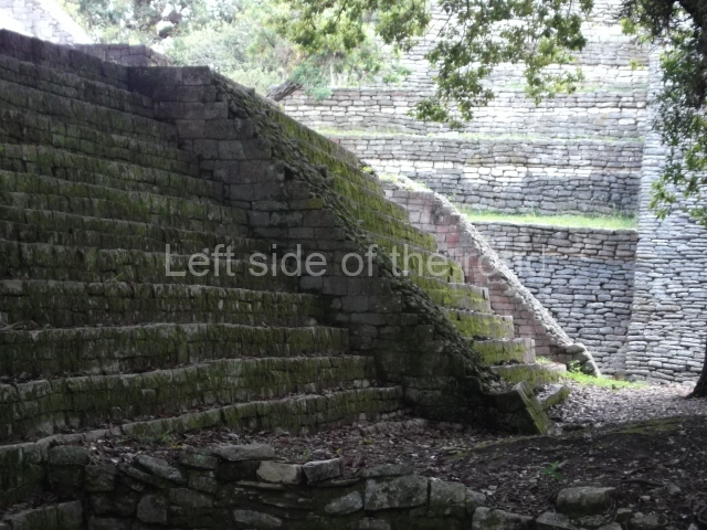
At the end of the Late Classic, several events occurred and appear to have given rise to new funerary customs. The rectangular cists used for burials were looted and, occasionally, reused. During this phase, square tombs with seated dignitaries were used as burials, and the ceramics are of the Fine Orange and Plumbate varieties. Some of the sculpted monuments were destroyed and scattered around the Acropolis and inside a few of the temples. Funerary urns containing cremated human bones were introduced for burials, placed either at the foot of temple stairways or as offerings in the buildings at the top of the Acropolis.

Site description

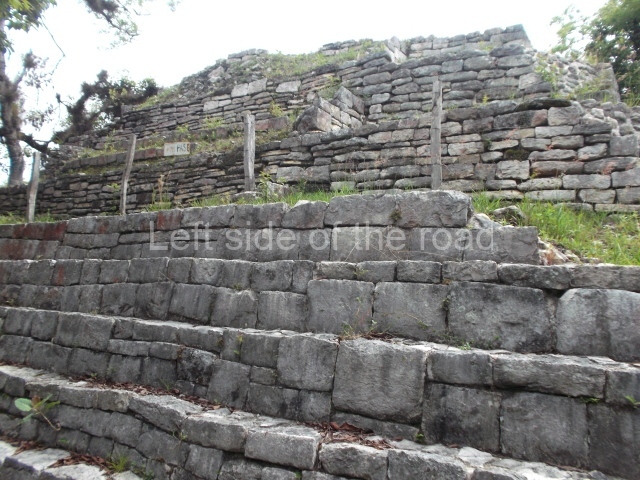
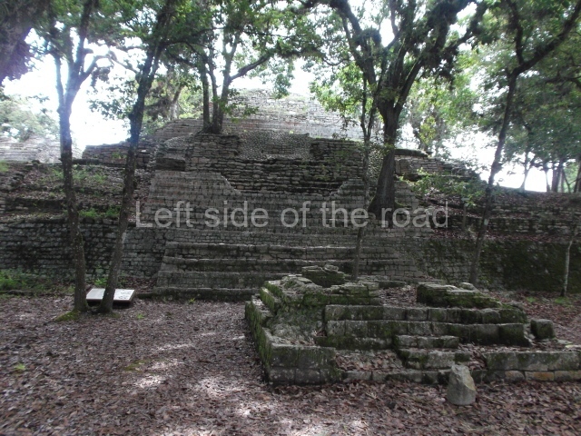
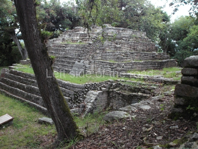
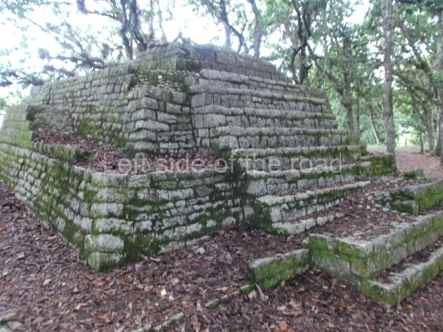
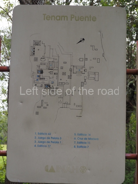
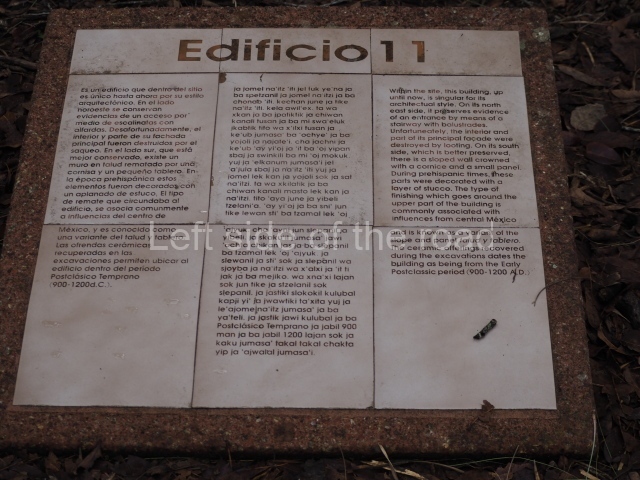
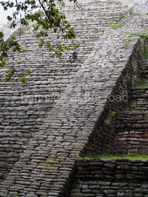
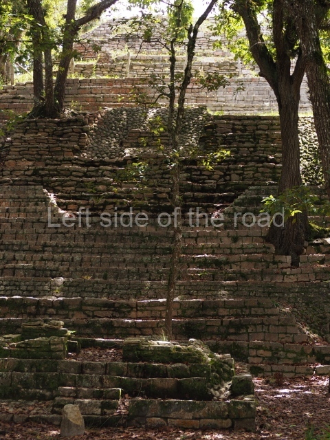
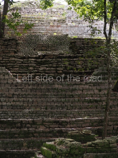
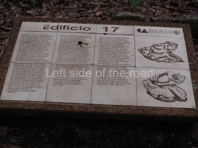
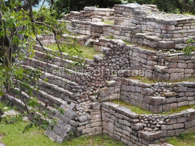
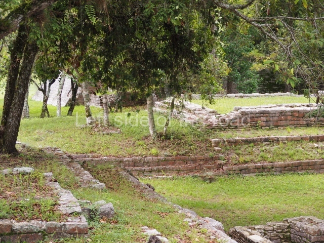
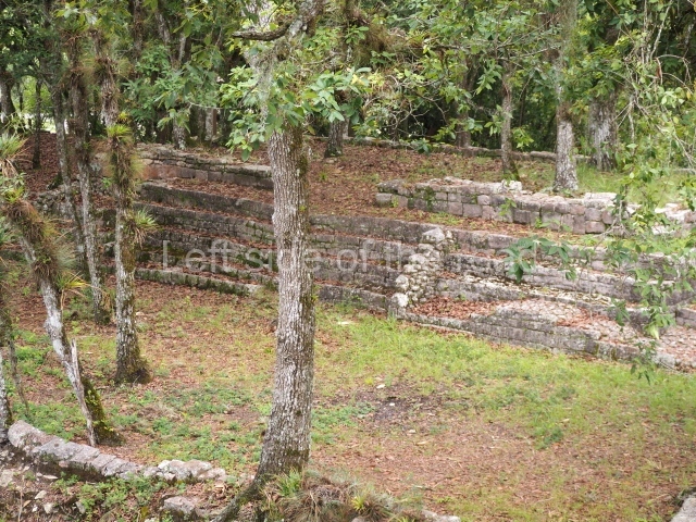
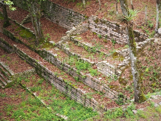
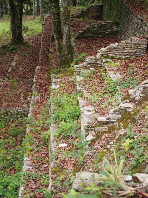
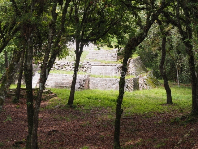
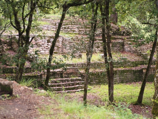
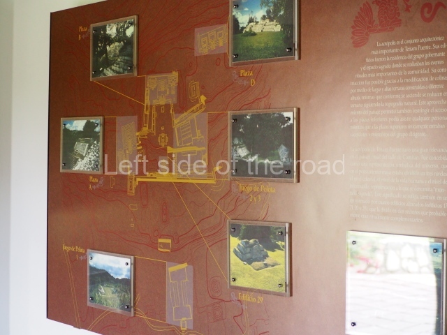
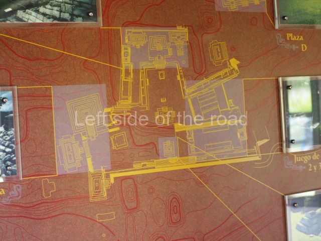
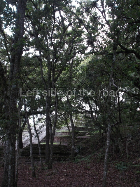
Tenam Puente is an example of architecture integrated with the landscape; the buildings exploited the natural topography of a hill, modified to meet the needs of the ancient settlers. The core area comprises an acropolis situated at varying heights with plazas delimited by temples and platforms for different uses. The residential units are located around the edges, alongside crop fields and probably workshops for making lithic tools; additional temples were built on the adjacent hills. The sacred precinct contained the seat of a political power associated with religious manifestations; its topographical location was clearly strategic, representing the concept of the sacred mountain. The numerous burials recorded suggest the presence of a place where ancestors were worshipped. Buildings 17, 21, 20 and 29 formed a symbolic axis that crosses the Acropolis and divides the sacred precinct into two separate sections. The orientation of the buildings holds great significance and bears an extraordinary similarity to Santa Elena Poco Uinic, a site with very poor access which has not yet been explored. As a result of this division, the ball courts were confined to just one section of the Acropolis. The most outstanding construction on the symbolic axis is building 29, whose main facade must have been covered with modelled stucco depicting representations of Venus and other symbols associated with death and the sun gods. In front of the stairway stood a stela, probably smooth, with traces of reddish paint, suggesting that the text or iconographic motifs were painted rather than carved like the other stelae; stucco modelled masks were habitually buried beneath this stela. Another important construction along this axis is building 21, where the tomb of one of the governors of the site was found. Now sealed, the tomb had masonry walls and a flat mud roof with stucco painted in red and blue. Inside it was a large funerary urn with a rich offering comprising sea shells, the claw of a feline, a large pyrite mirror, numerous green stones and several representations of the quincunce symbol which represents the four cardinal points and the centre of the universe. Fragments of modelled stucco representing reptiles and the bones of the macaw, a bird associated with the celestial sphere, were found on the floor of the south bay. Due to its situation within the Acropolis, this building represents the axis mundi. Both the offerings and the architectural elements suggest the representation of the three planes of the universe: the tomb symbolises the underworld, the building the terrestrial plane and the bay the celestial sphere.
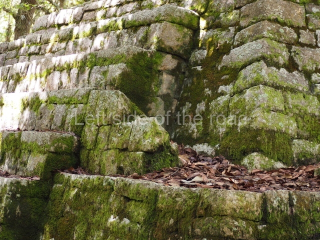
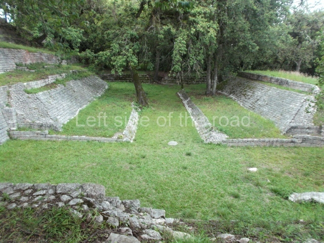
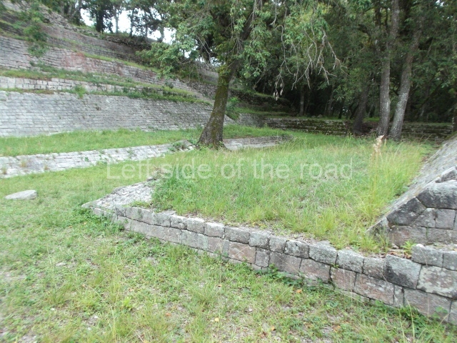
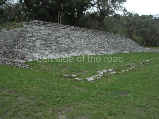
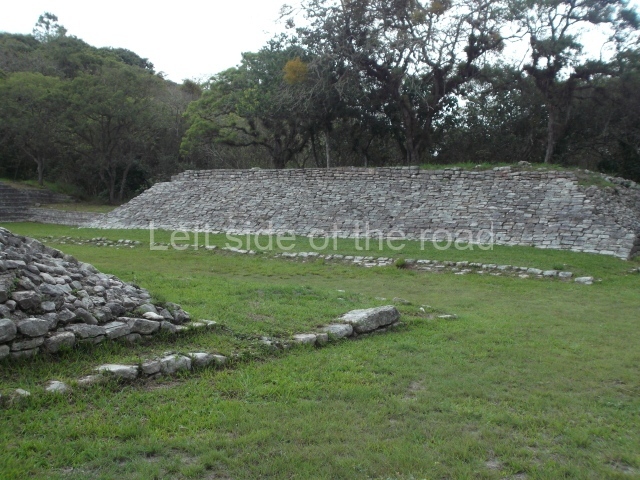
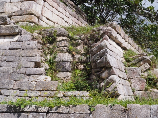
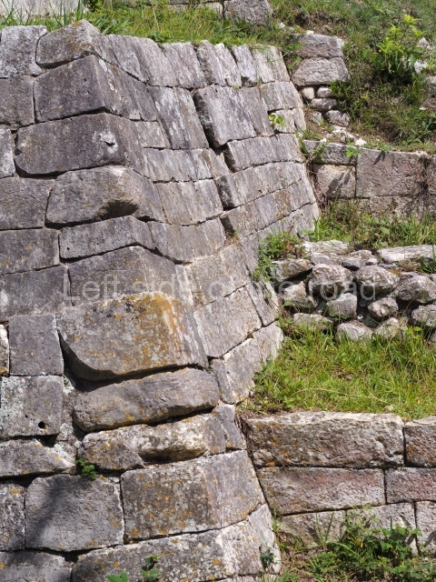
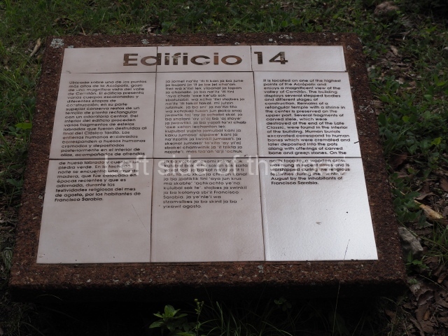
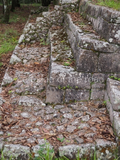
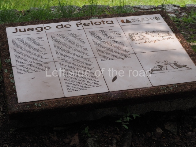
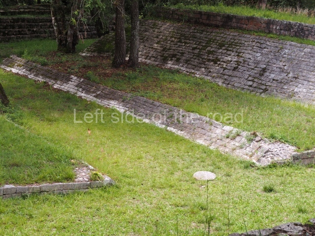
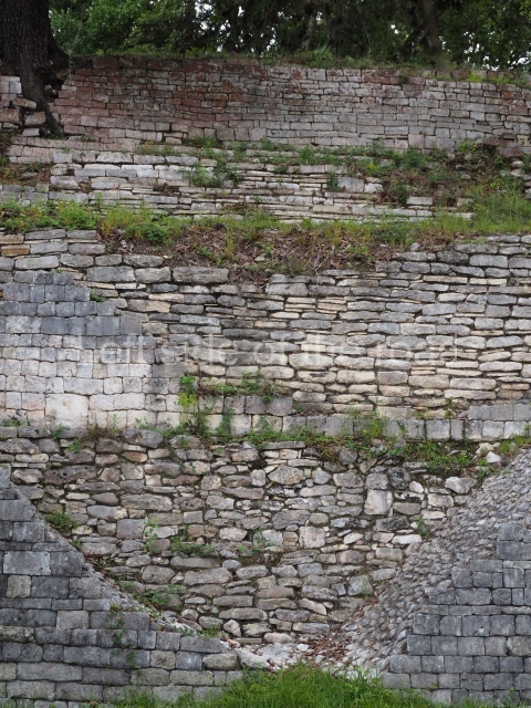
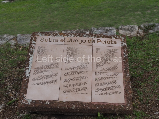
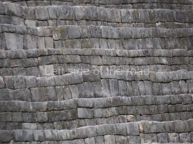
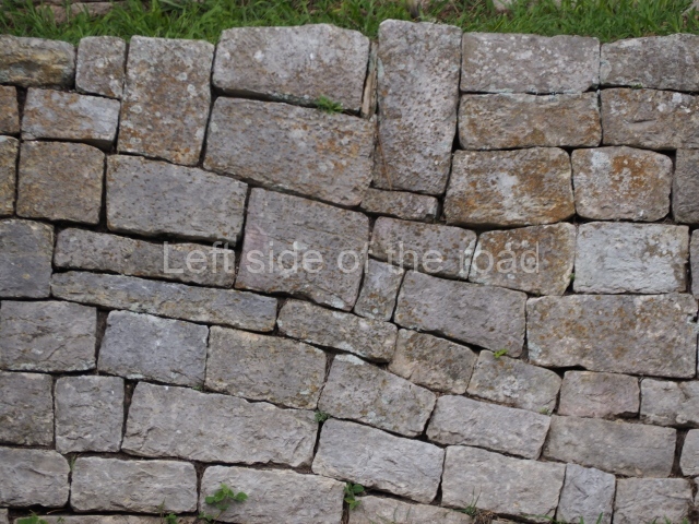
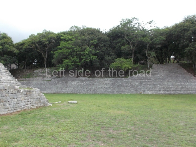
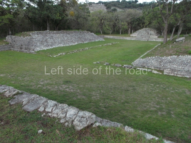
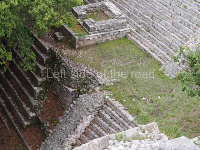
All three ball courts adopt the form of a double T, as well as being sunken and enclosed. The first one is situated in front of the first large terrace, in the lowest part of the Acropolis. Various alignments with slab stones were excavated on the south side, as well as a channel that may have been a steam bath. The ancient inhabitants probably used this court to watch or participate in the ceremonial game, an event that must have been associated with the underworld. The other two ball courts are situated on higher levels, are smaller than the first one and were probably restricted to use by the elite or ruling class. They have furnished several fragments of sculptures of prisoners, very similar to those reported at Tonina. The third court was probably used for settling disputes with neighbouring polities, while the adjacent plaza (Plaza B) must have hosted ceremonies to legitimise the site’s power. The architecture of the site is defined by the regional style that characterised the eastern Chiapas Highlands at the end of the Classic era. This is reflected in the use of masonry, which was initially composed of coarsely cut stones but gradually evolved, as techniques were perfected, to the use of finely cut veneer stones. By the end of the Late Classic, this system was used to clad the majority of the buildings. Stairways divided into two sections were used, recalling the late styles of the Guatemalan Highlands. Floors were made of stucco, sometimes painted red; stucco was also used to cover the treads on the stairways and for modelling different representations of gods and celestial elements to cover the main buildings. There is evidence of the use of drainage systems in some of the Acropolis buildings. Although the Acropolis was abandoned at the end of the Late Classic (c. AD 900), the settlers of the common ground, related to the Tojolabal, maintained the sacred precinct thanks to their devotion and pilgrimage to the Immaculate Heart of Mary in the northern section of the Acropolis (building 14).

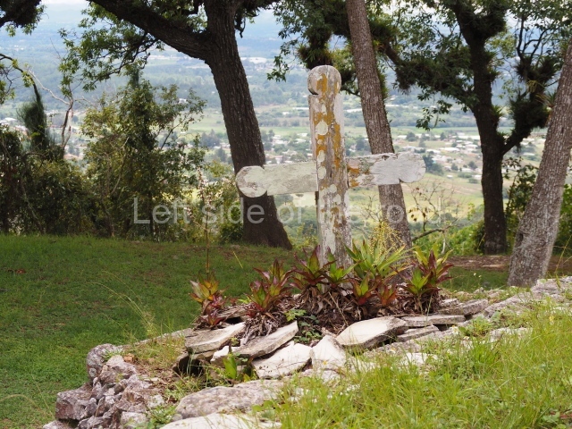
Legend has it that the former owners of the ‘El Puente’ estate presented this statue of the Virgin Mary to the townspeople when the common land was created. The festivities are held in the middle of August to request rain and good harvests, which are vital for the community. Next to Building 14, the settlers erected a wooden cross where the statue is placed for the duration of the festivities. An old xhinil or holm oak on the north side of the building forms part of the sacred elements, and the pilgrims walk anti-clockwise around the tree three times after placing the statue next to the cross. However, the inhabitants of Francisco Sarabia are not the only ones who use this space; at different times in the past other communities have visited the site to conduct rituals associated with the so-called Indian theology; both groups coincide in their belief that mountains are important sacred places.

Gabriel Lalo Jacinto

From: ‘The Maya: an architectural and landscape guide’, produced jointly by the Junta de Andulacia and the Universidad Autonoma de Mexico, 2010, pp461-464

How to get there:

From Comitan. Combis going Sarabia can be flagged down opposite the Centro de Abastos, on the main road through town, the Pan-American. They will take you to the site. Not sure if all combis will go there so you might have a wait coming back. M$15-20 each way.

GPS:

16d 08’ 29” N

92d 06’ 21” W

Entrance:

M$70

More on the Maya