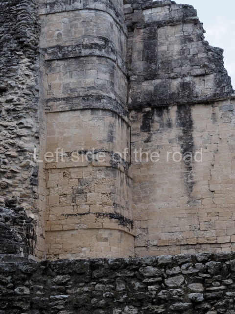
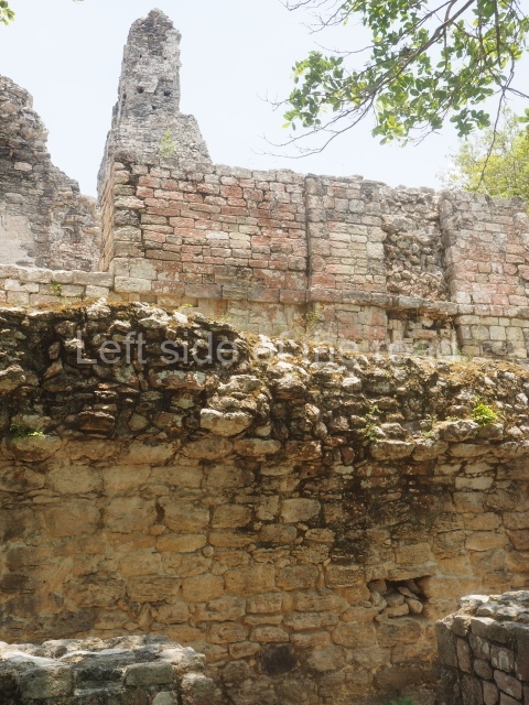
Becan – Campeche – Mexico

Becan

Becan

More on the Maya

Becan – Campeche

Location

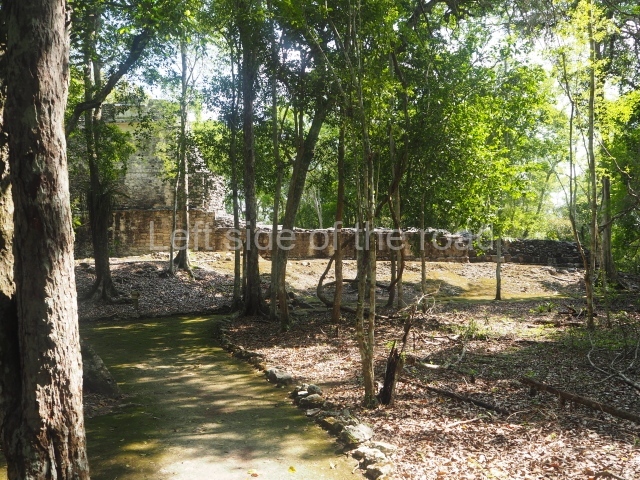
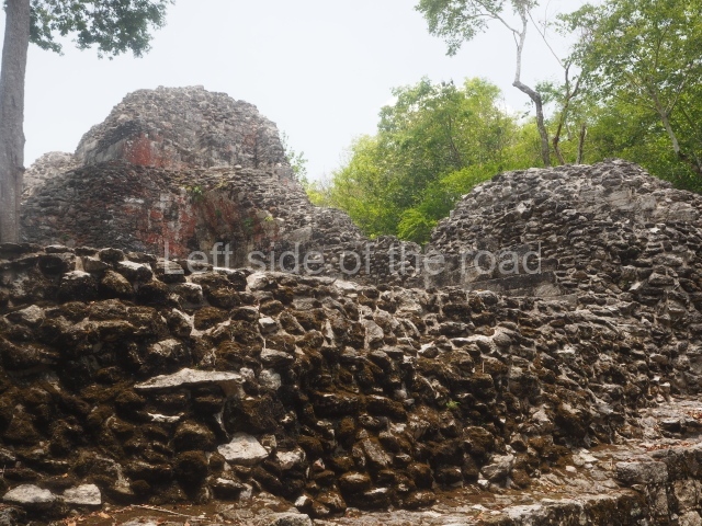
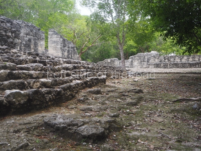
This is situated 130 km east of Escarcega, on Federal Road 186 to Chetumal. It is some 300 km from Campeche. To the immediate north-west of the modern community of the same name, the main buildings at Becan are protected by a moat and a perimeter wall, which enclose an area of approximately 12 ha. The moat is 1,890 m long, 16 m wide and 2.5 m deep, while the perimeter wall is as high as 3.6 m in certain sections. It was only possible to cross the moat at seven bridges located at different points around it. Nowadays, access is via one of these bridges, situated in the east section. In the late 20th century certain specialists attributed a defence function to the moat, but the subsequent study and physiographic analysis of both the exterior and interior areas have led to the conclusion that it was used for channelling and draining rain water, thus avoiding flooding. Outside the area delimited by the moat a large number of lesser constructions have been found; these served as dwellings, granaries, shrines, cultivation terraces, stone walls, etc., used by the vast majority of the population who maintained the governing family at Becan. These ruins are similar to those of the nearby sites of Chicanna, 2 km to the south-west, and Xpujil, 8 km to the east. The name Becan has only recently been coined and is formed from Yucatec Maya words meaning ‘serpent path’. It is also the name for the groove worn away by the rain water, and some people therefore believe that it is simultaneously a metaphor for the moat and its curved course.

Timeline, site description and monuments

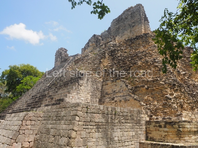
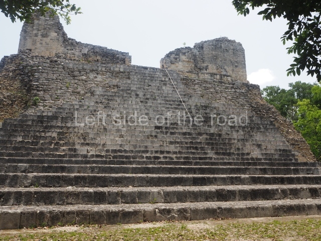
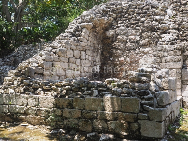
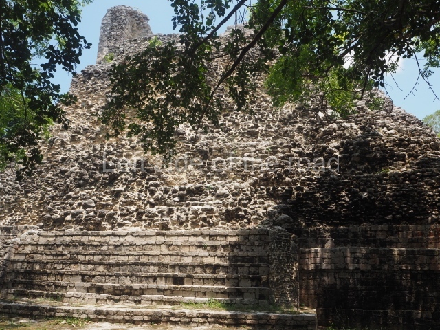
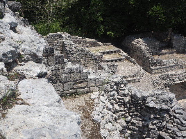
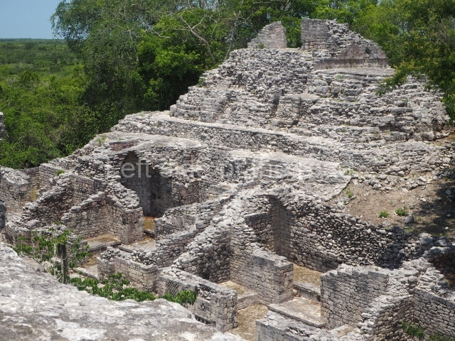
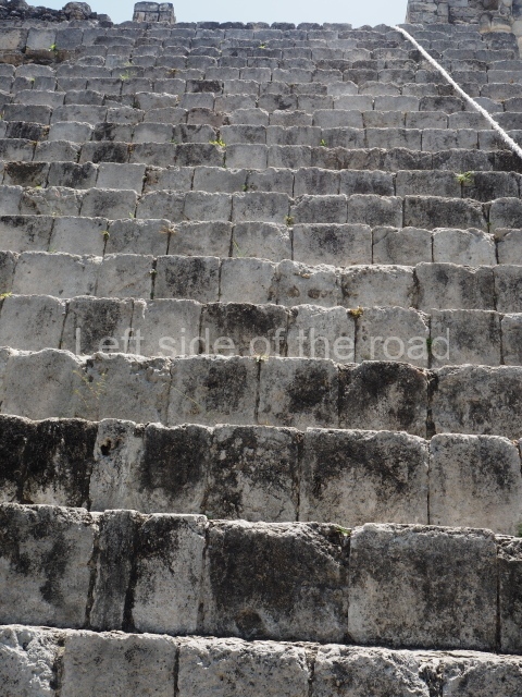
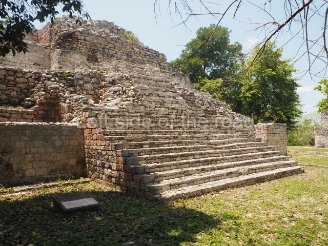
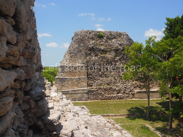
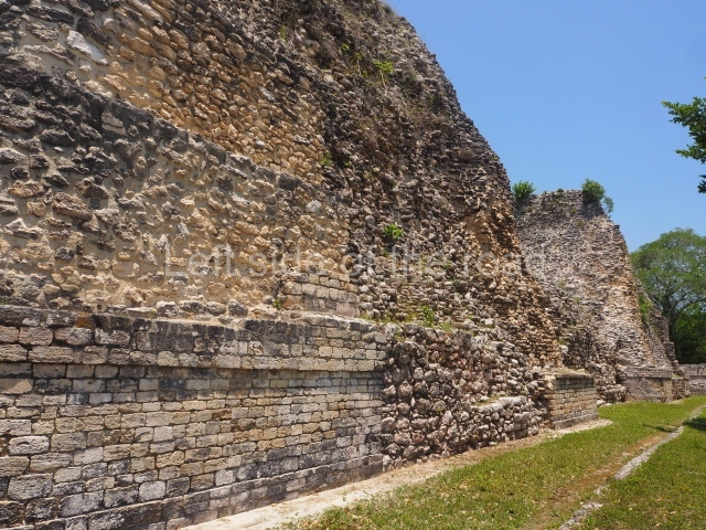
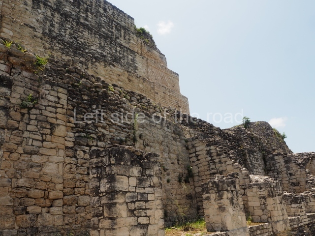
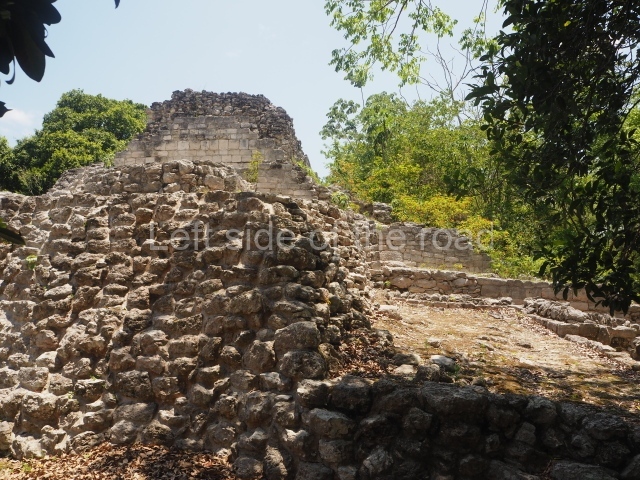
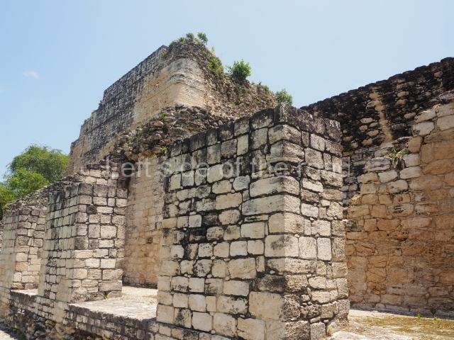
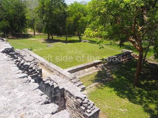
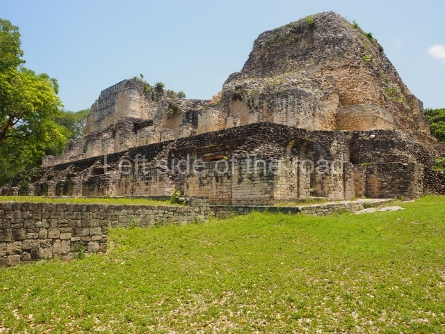
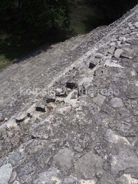
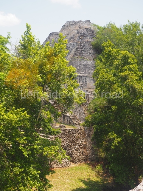
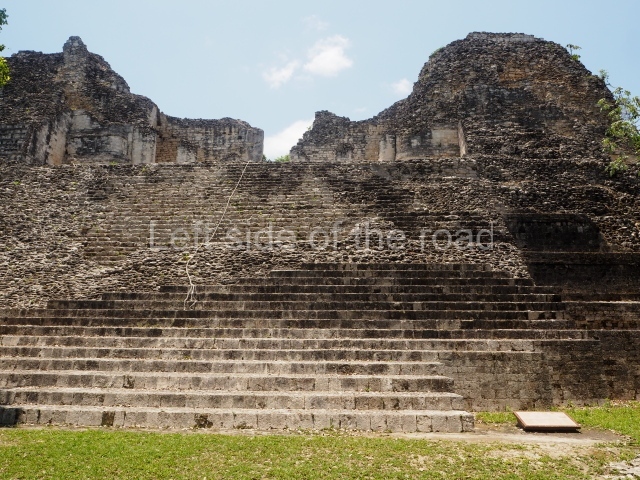
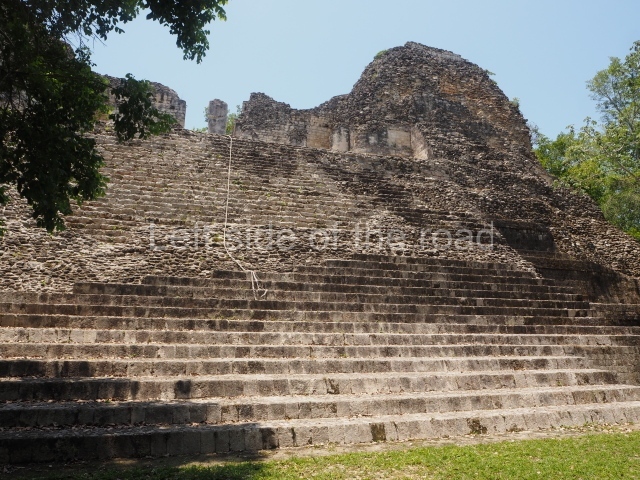
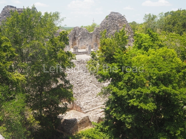
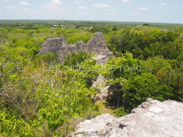
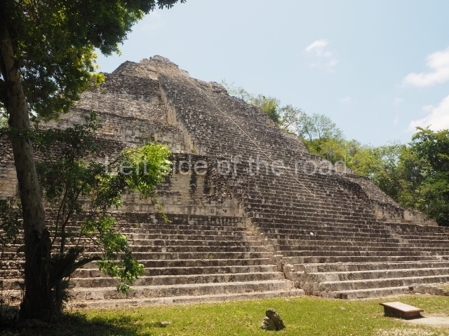
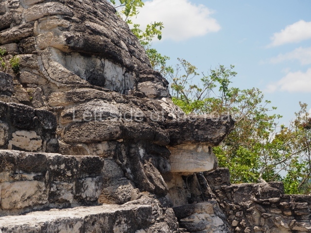
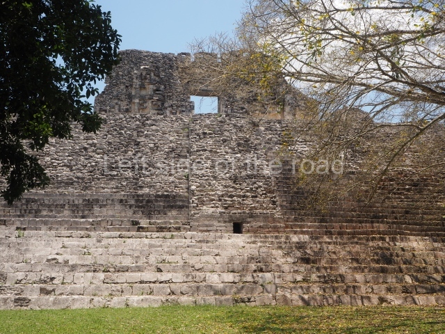
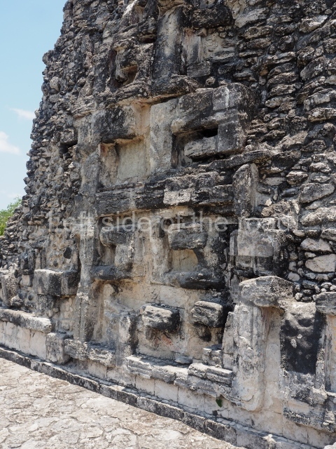
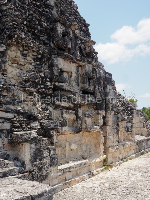
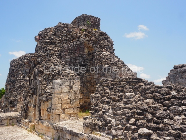
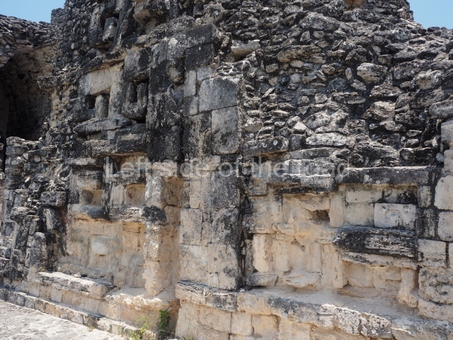
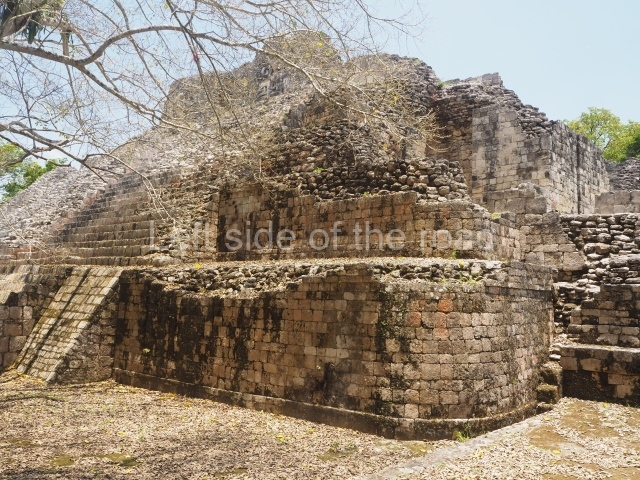
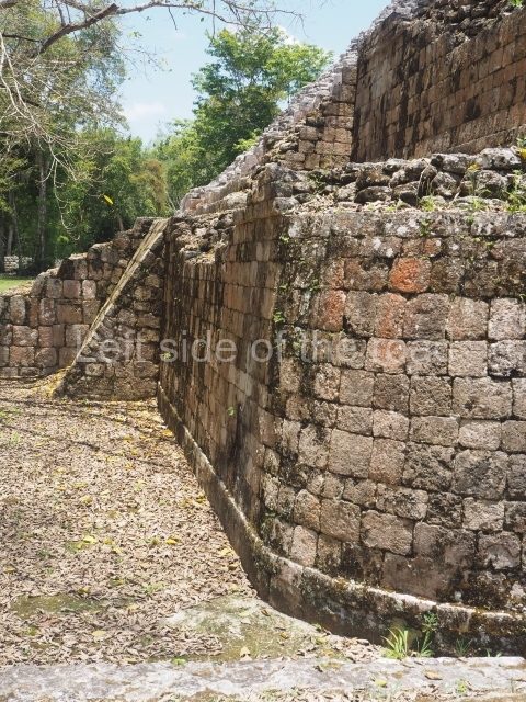
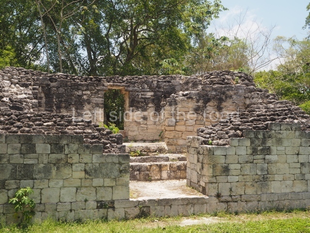
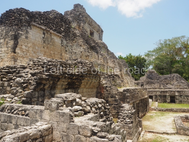
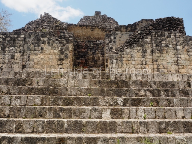
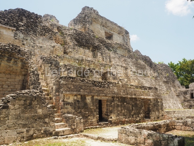
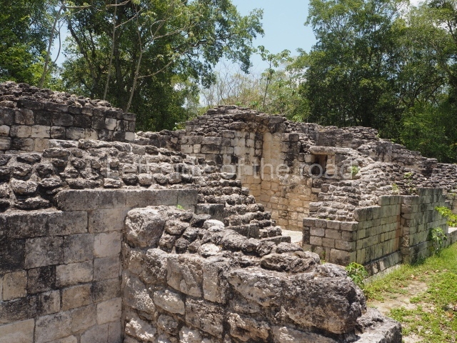
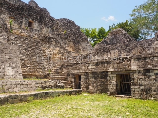
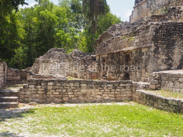
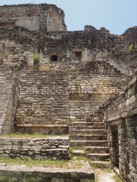
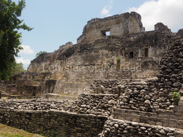
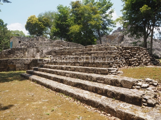
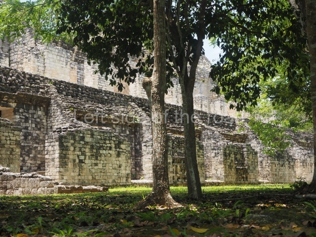
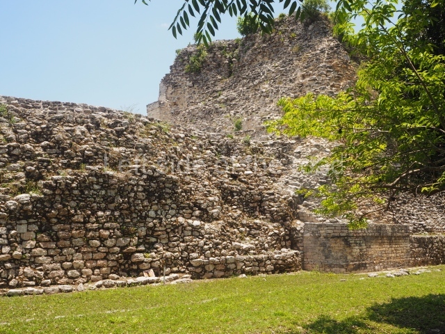
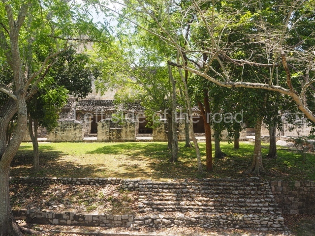
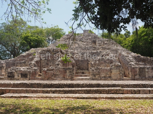
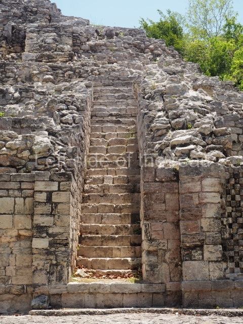
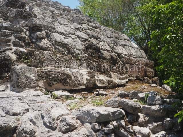
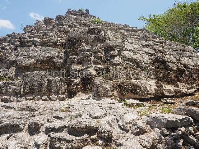
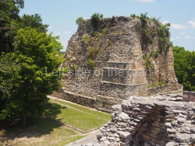
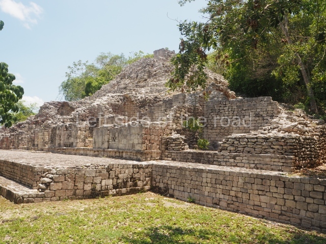
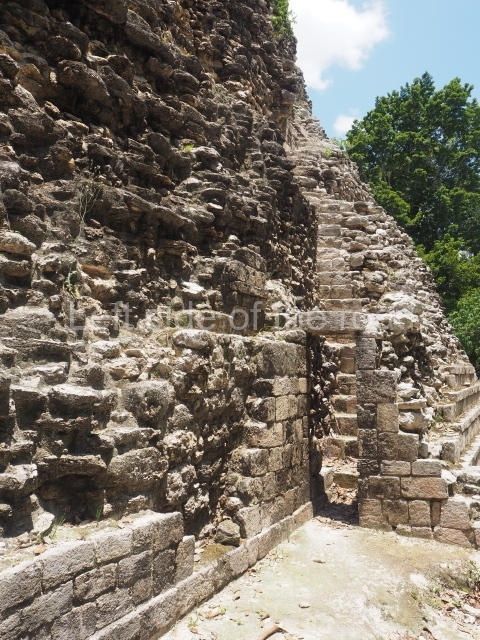
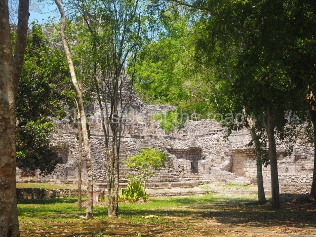
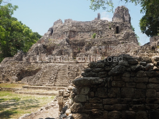
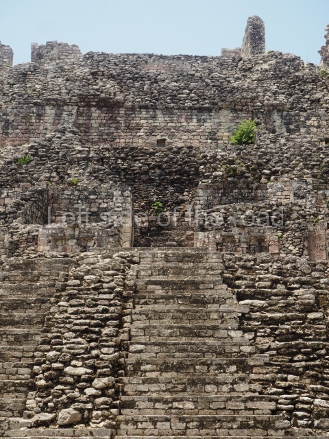
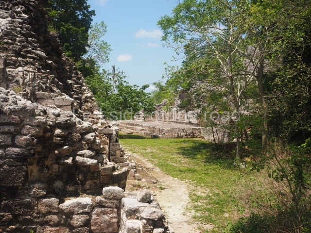
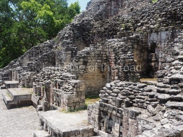
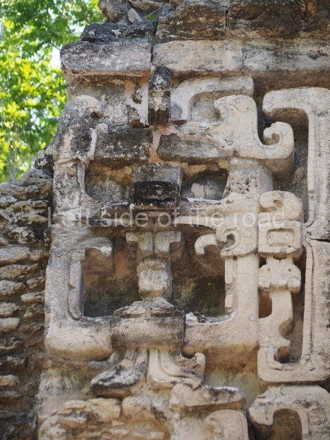
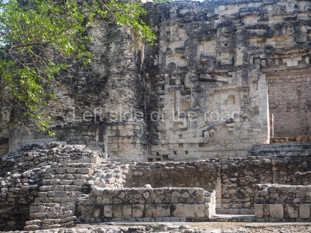
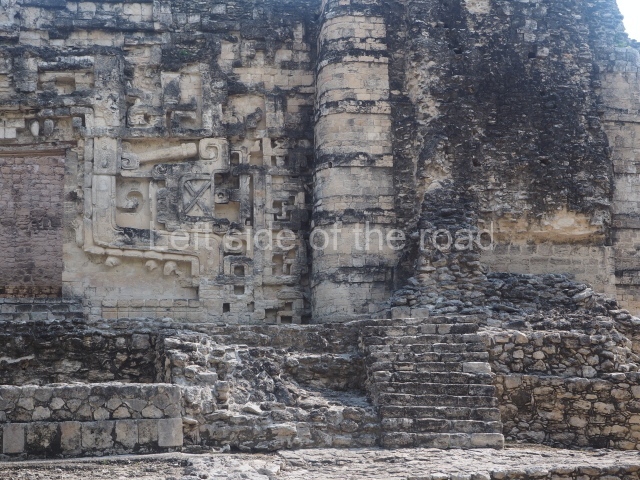
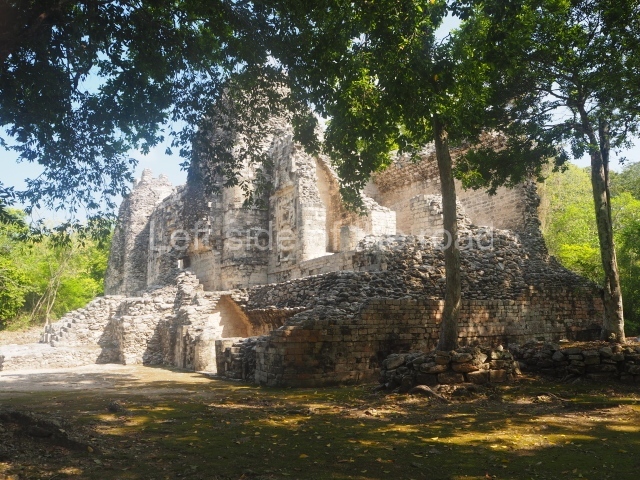
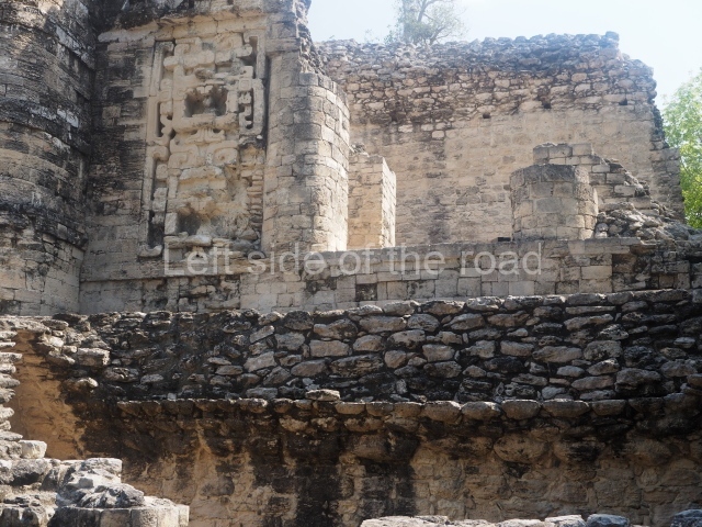
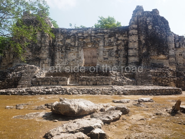
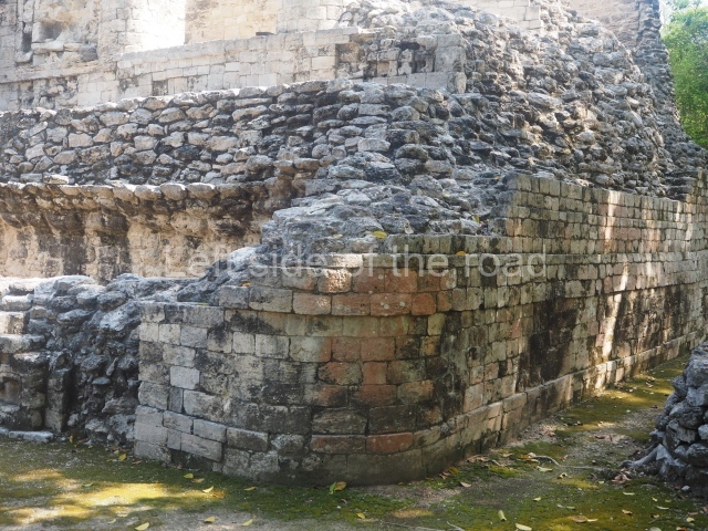
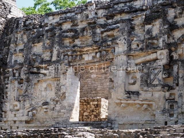
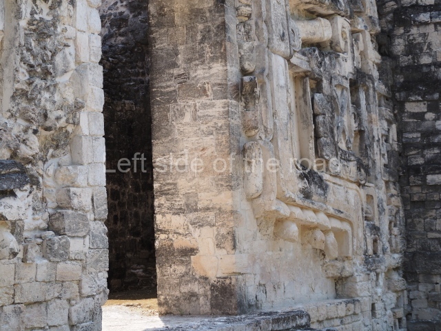
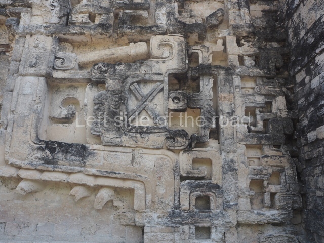
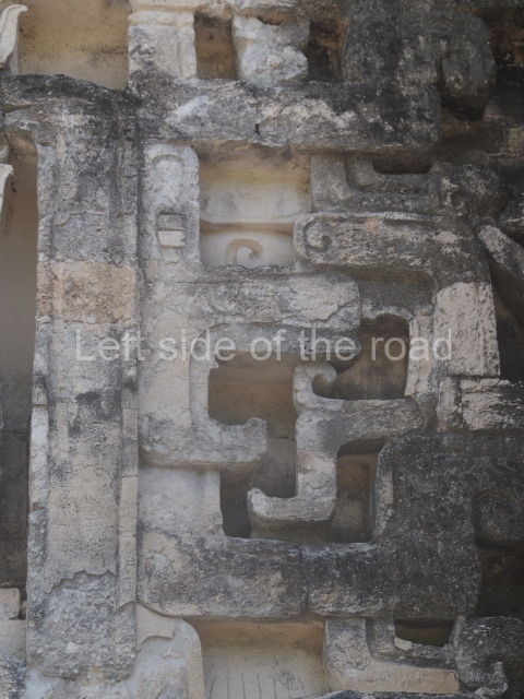
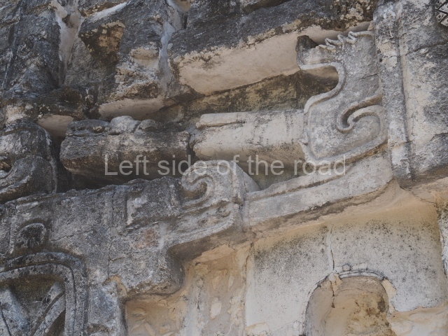
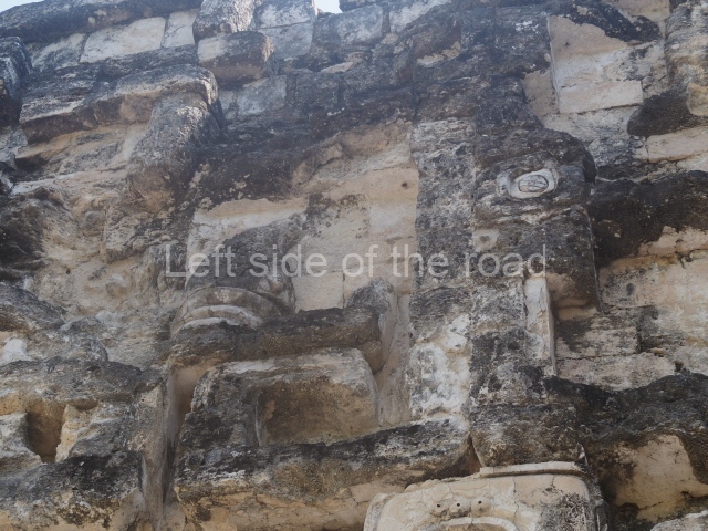
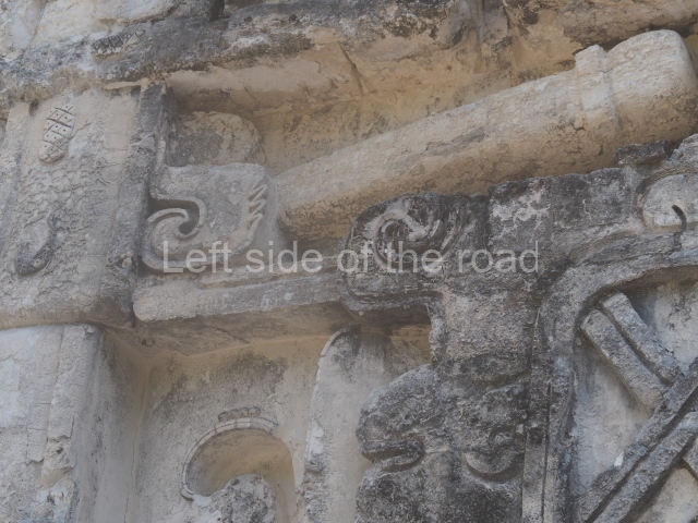
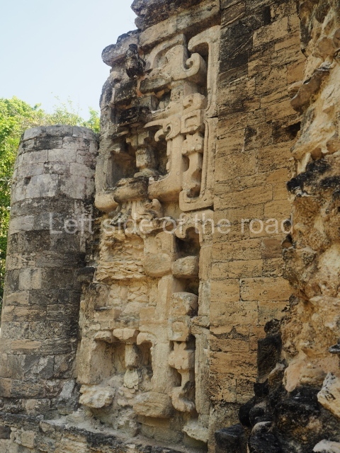
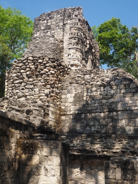
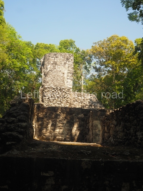
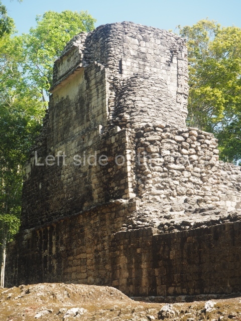
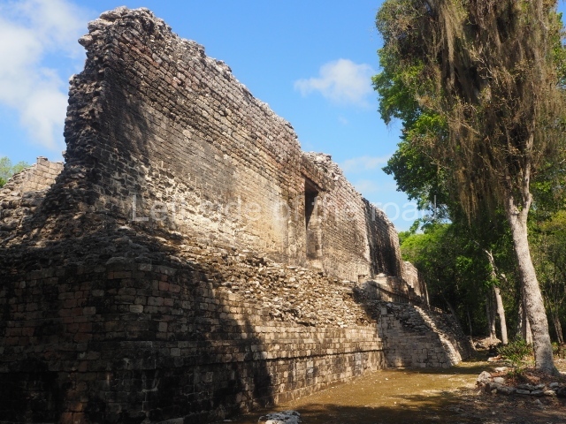
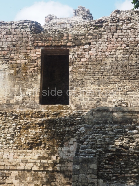
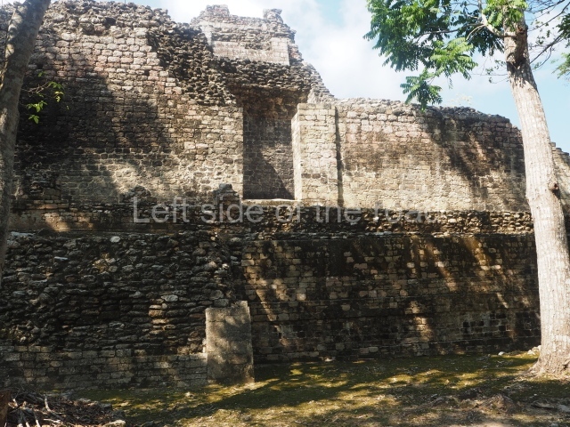
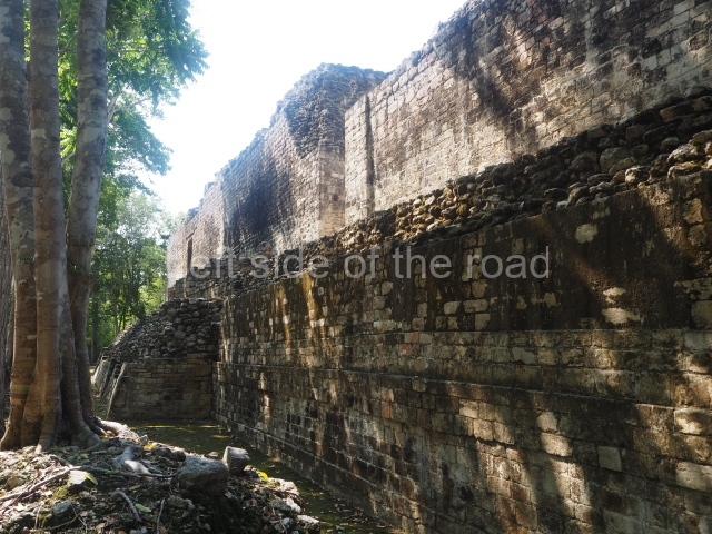
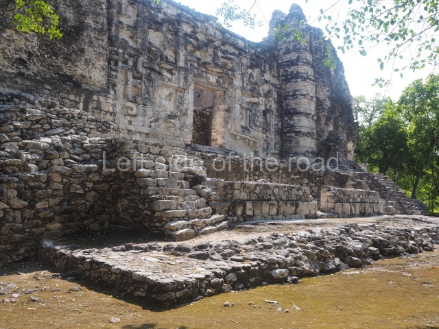
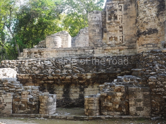
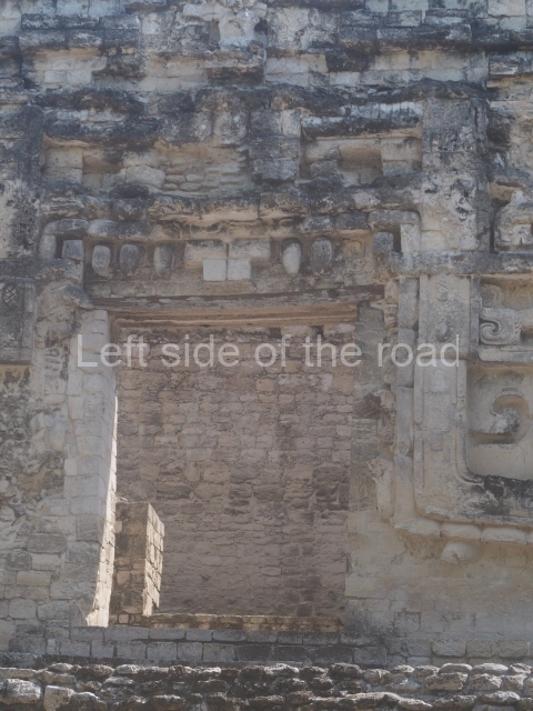
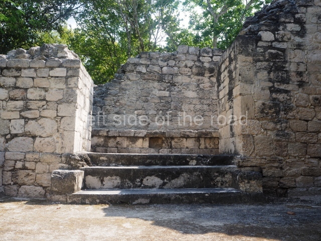
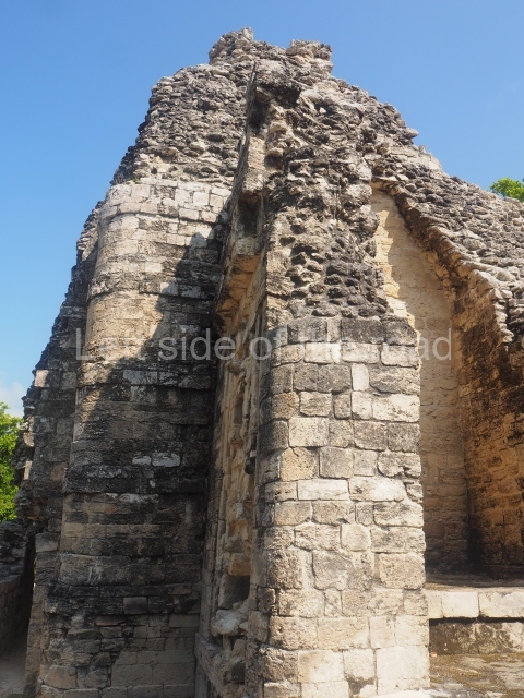
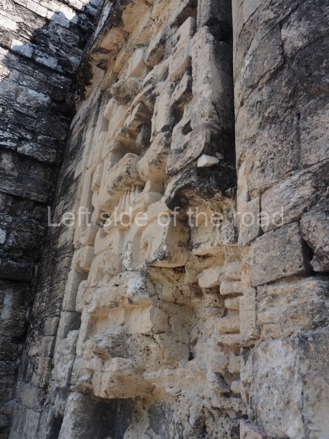
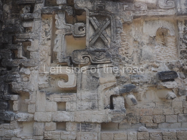
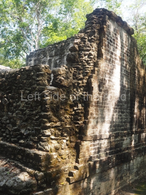
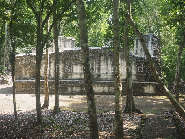
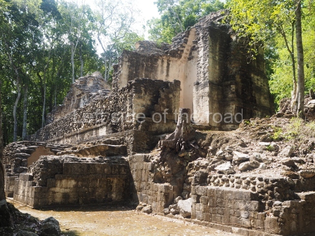
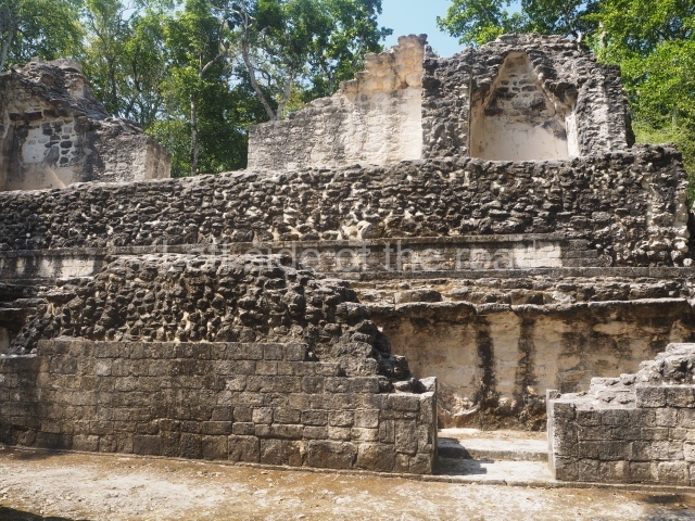
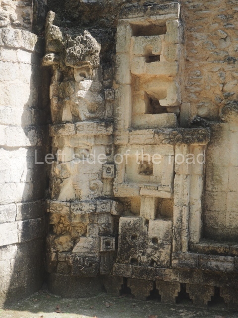
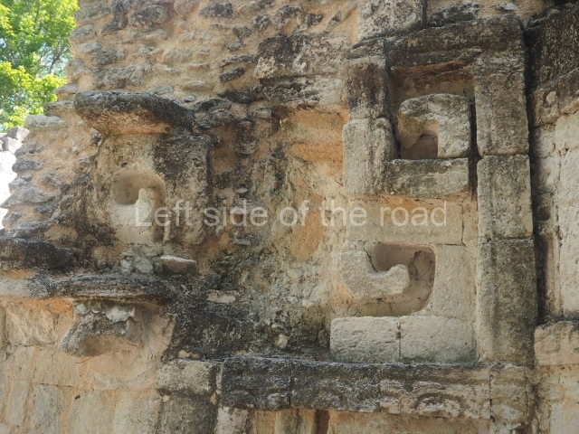
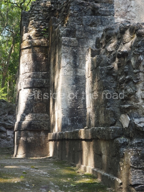
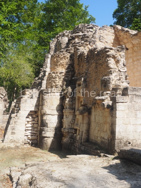
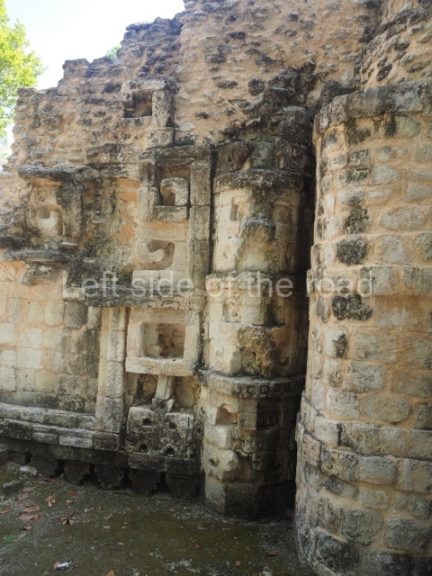
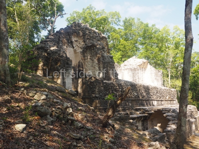
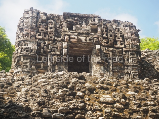
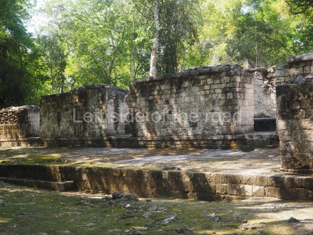
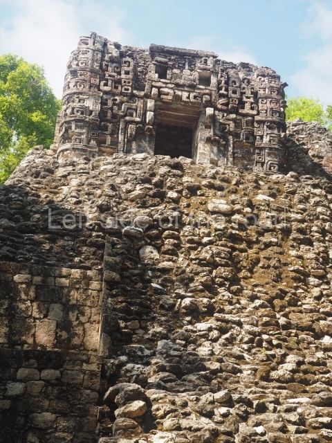
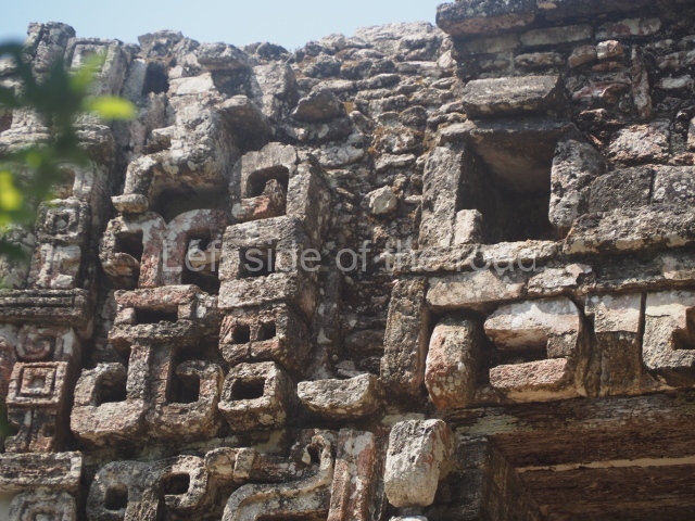
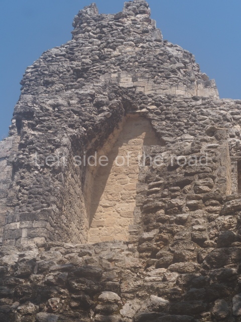
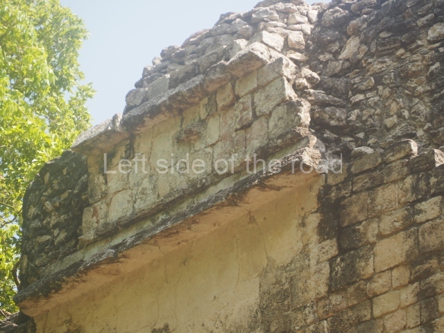
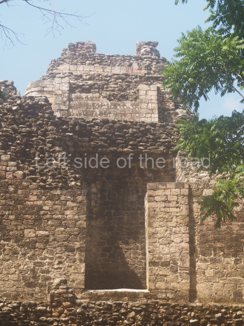
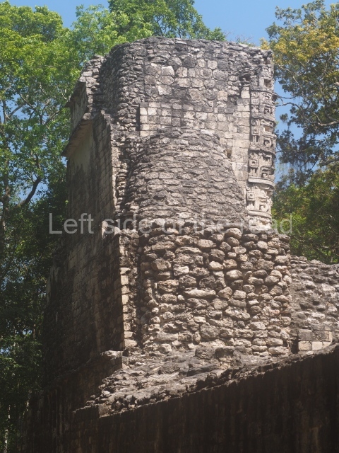
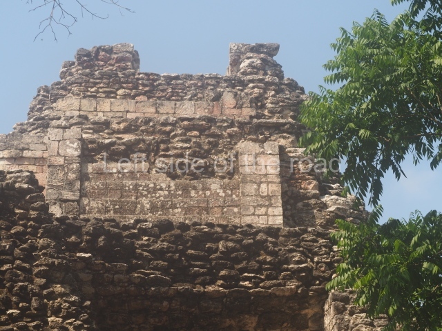
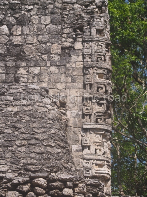
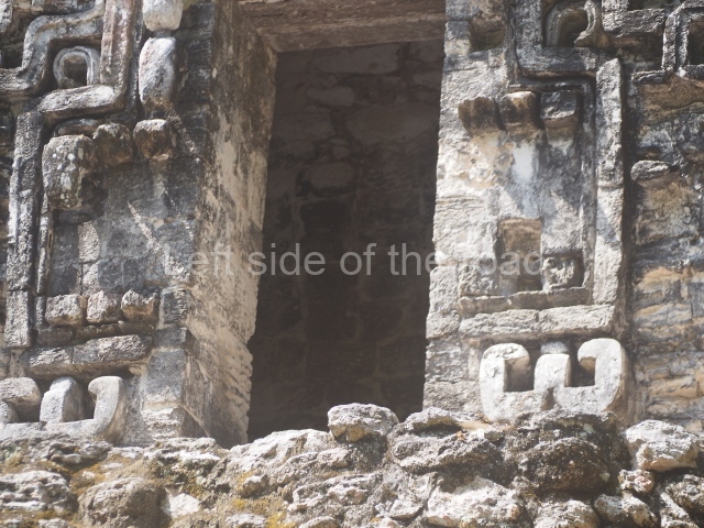
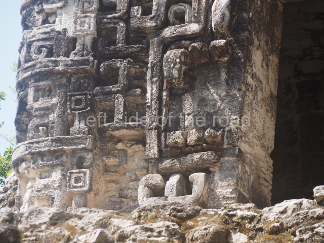
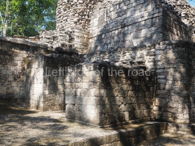
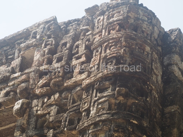
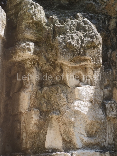
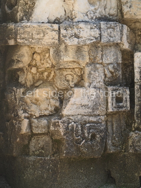
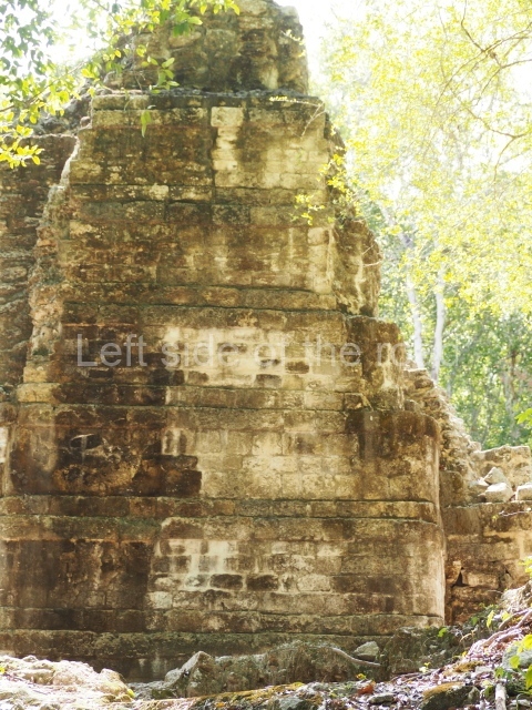
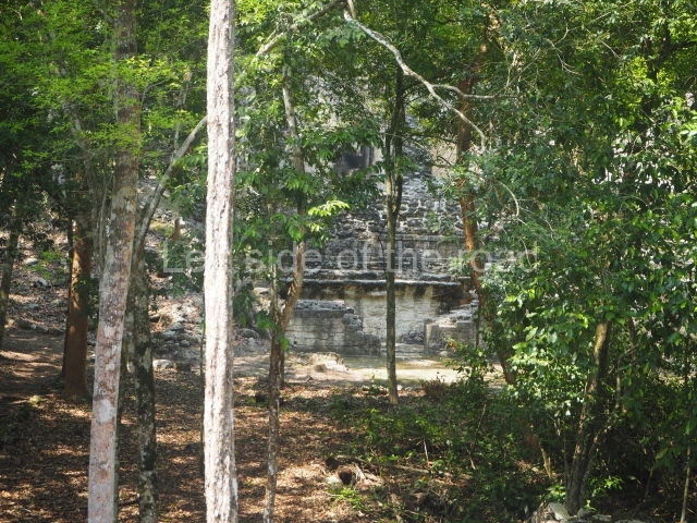
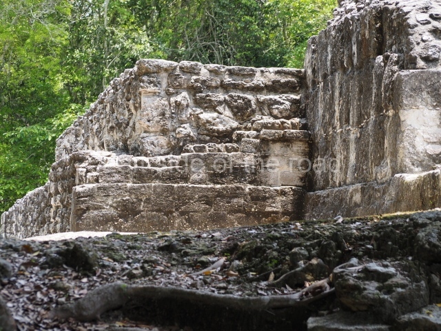
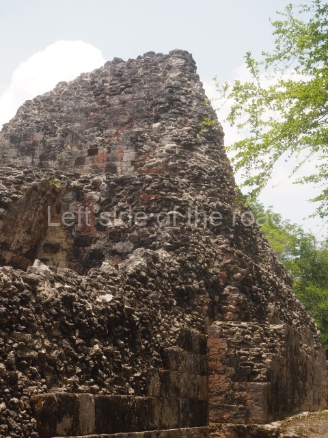
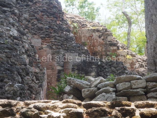
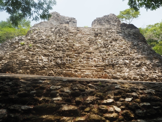
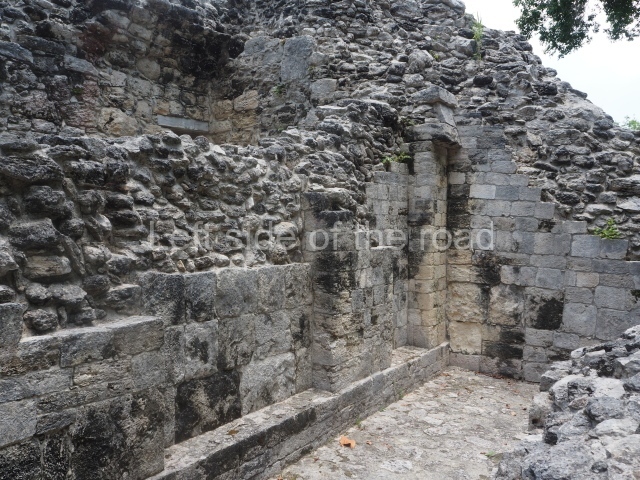
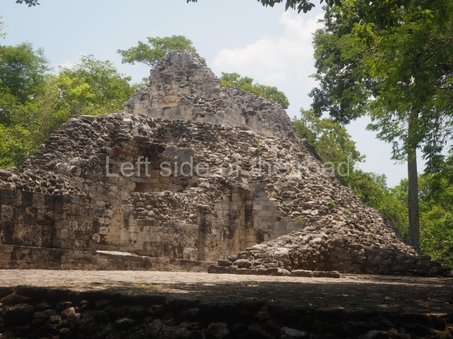
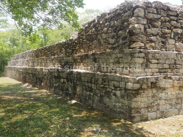
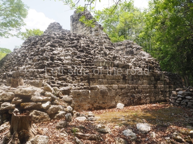
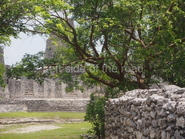
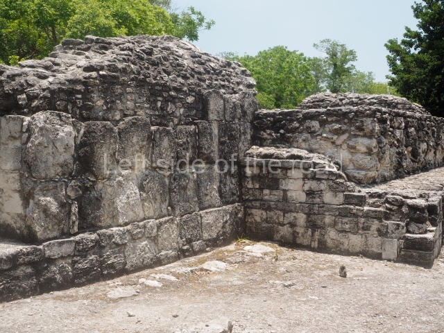
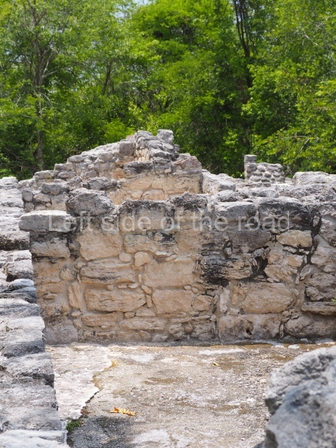
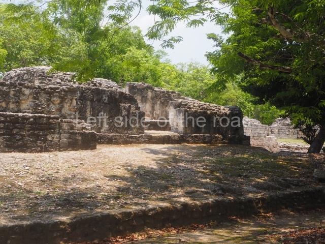
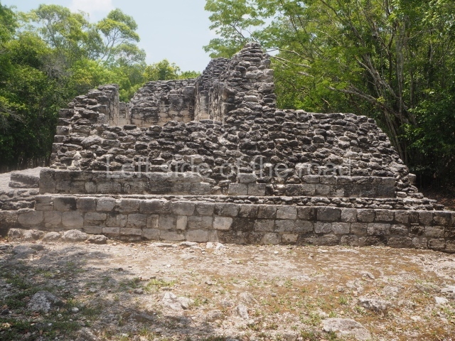
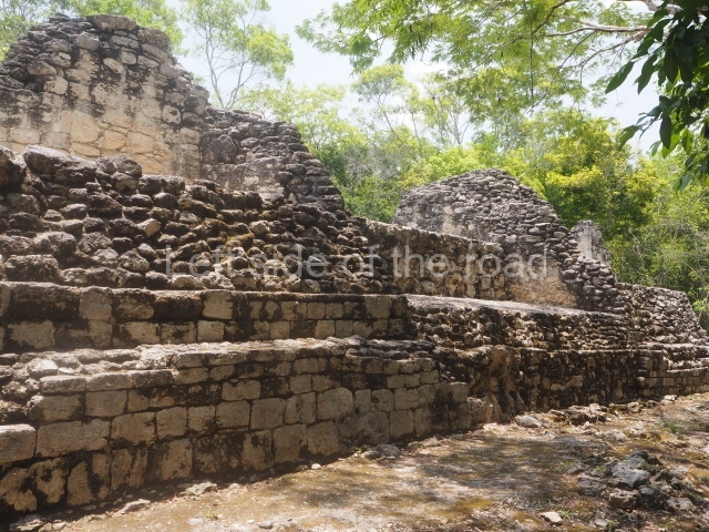
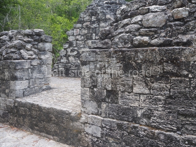
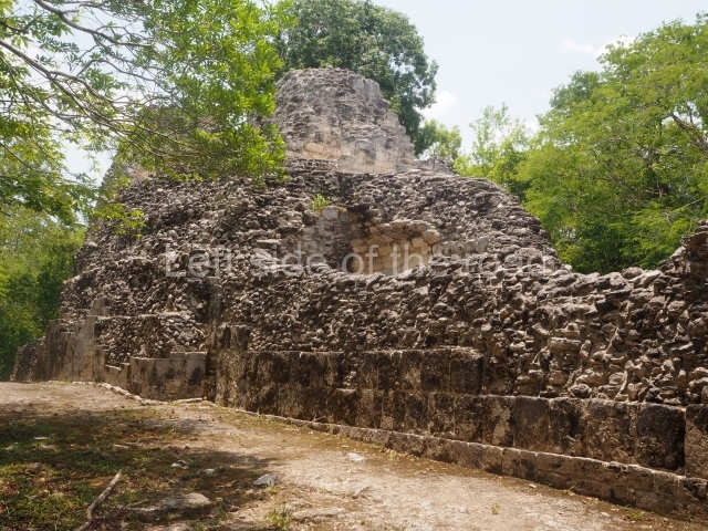
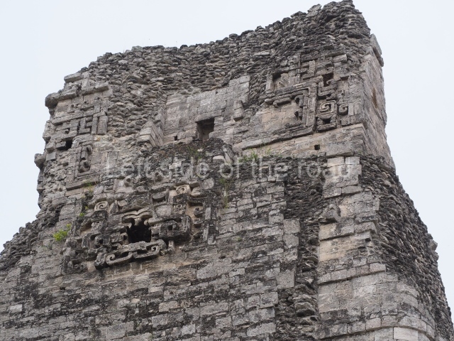
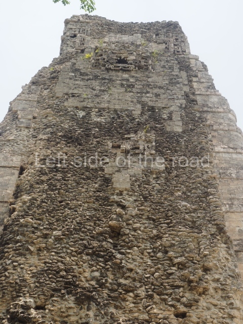
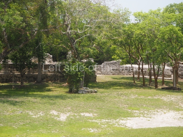
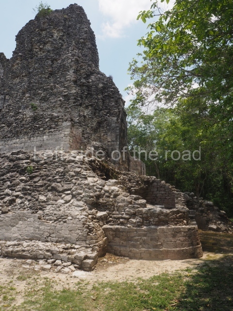
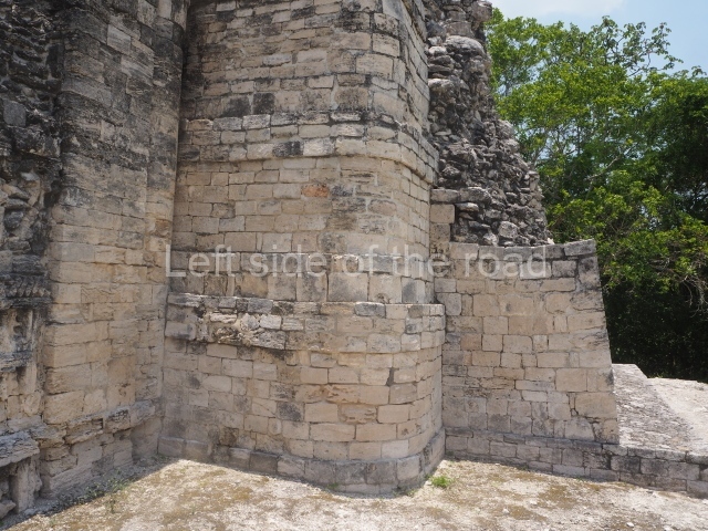
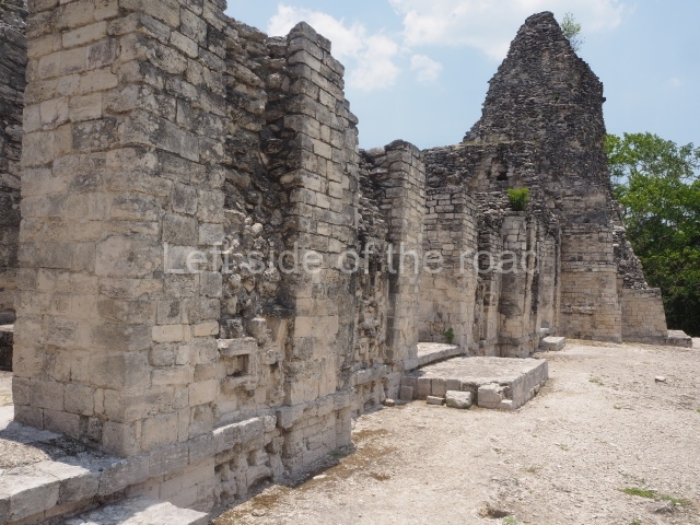
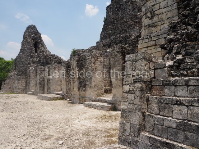
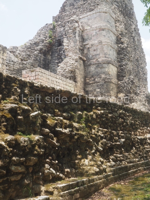
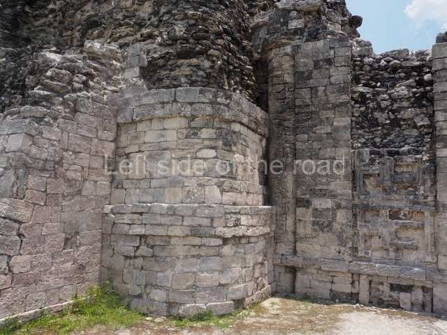
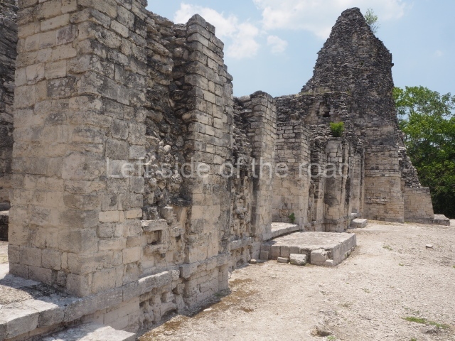
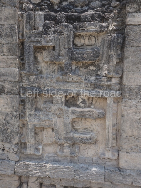
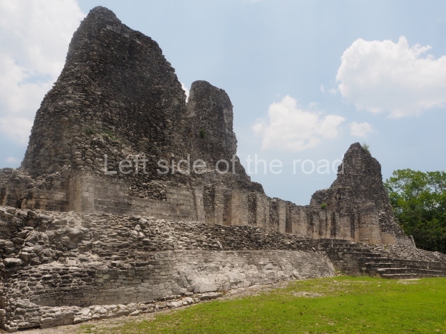
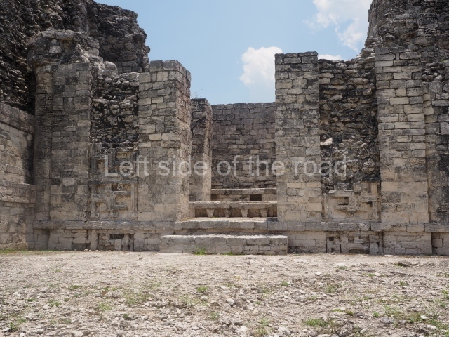
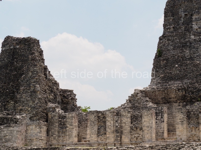
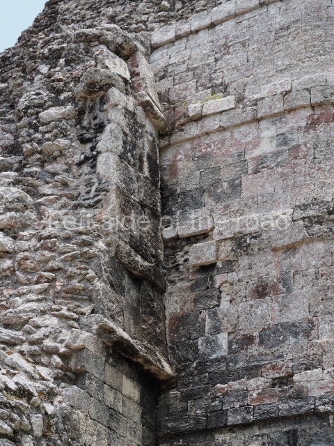
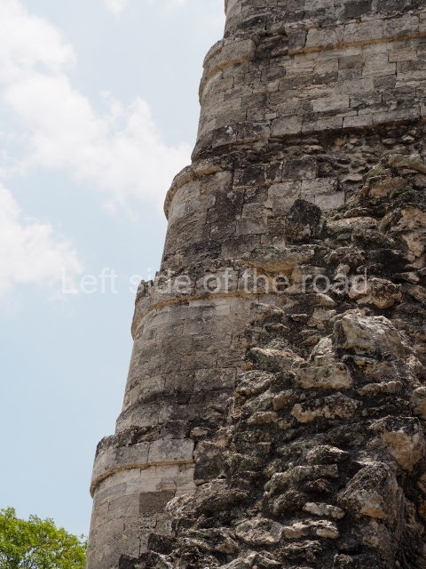
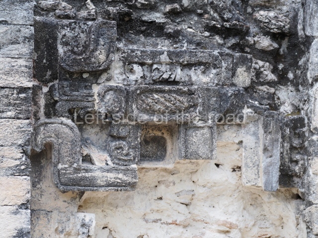
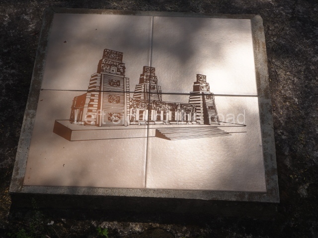
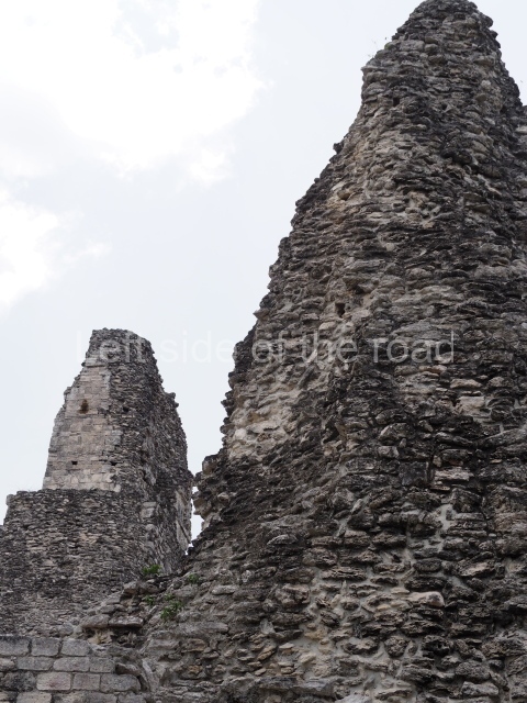
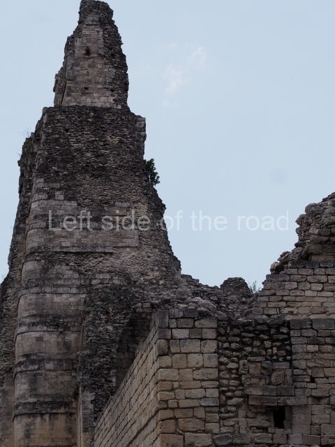
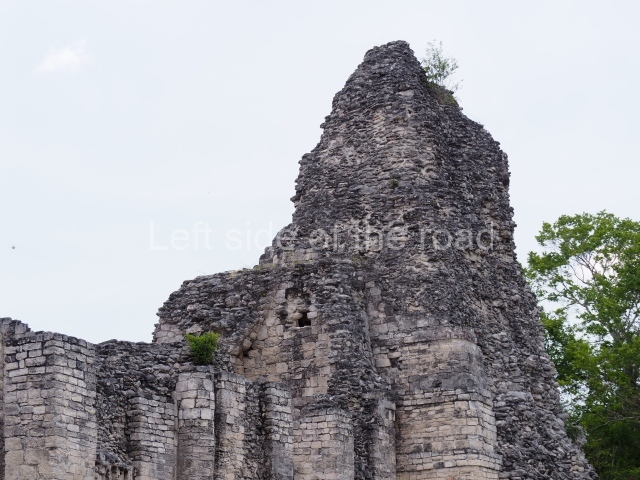
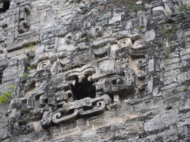
The oldest remains date from 600 BC, while the concentration of population and resources turned it into a regional capital between AD 600 and 900. During the Postclassic period (AD 1000-1450), the central government gradually disintegrated and its place was occupied by other sites with greater political influence. By the time the conquistadors arrived, Becan was completely covered by rainforest. The site contains monumental constructions in the Rio Bec architectural style, which is characterised by high twin towers, near-vertical non-functional stairways, rounded corners and false temples atop the pyramids. On some buildings, the main facade is adorned with the face of Itzamnaaj, a powerful terrestrial deity. Its open jaws served as the central entrance to the building. The tour of this site commences at Plaza A or the East Plaza, composed of structures I, II and III.

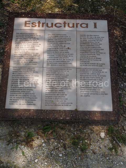
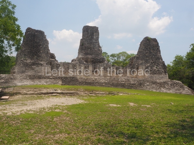
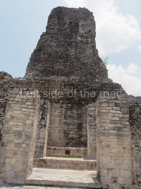
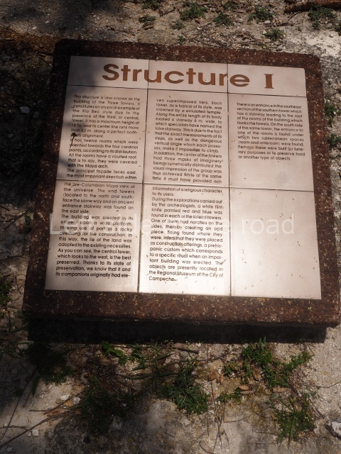
Structure I.

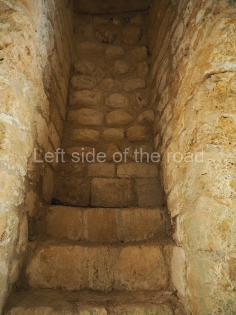
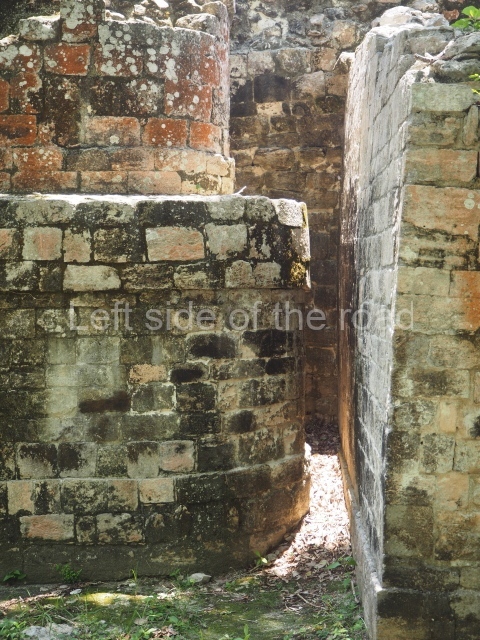
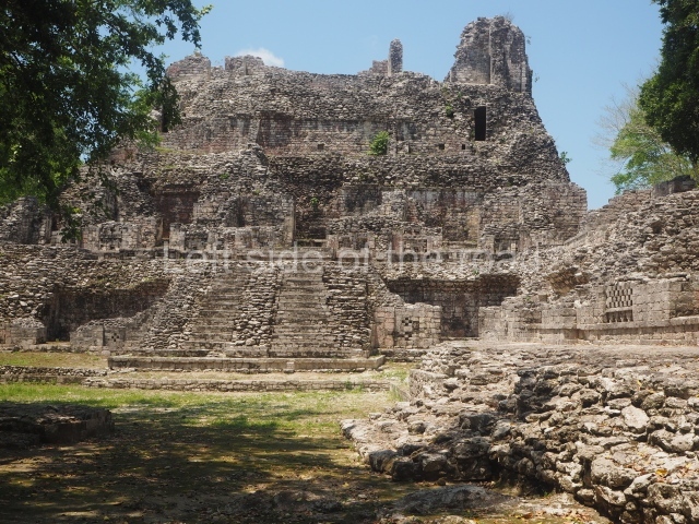
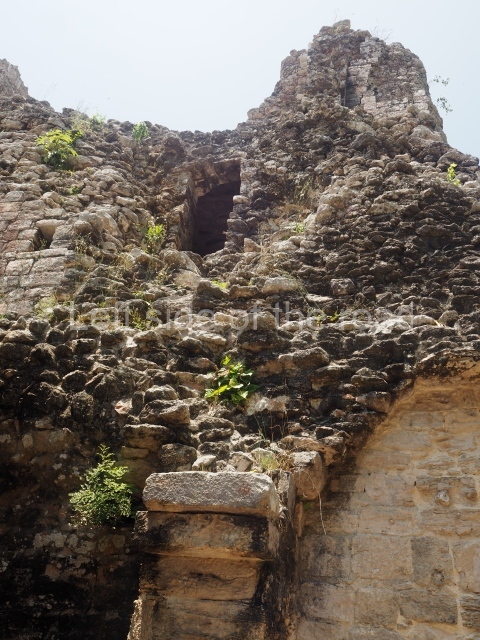
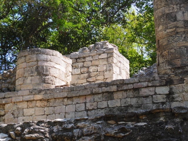
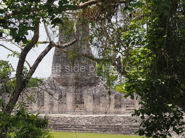
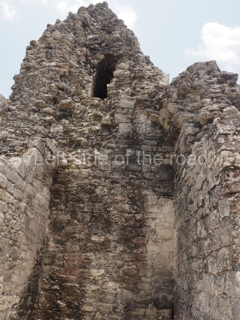
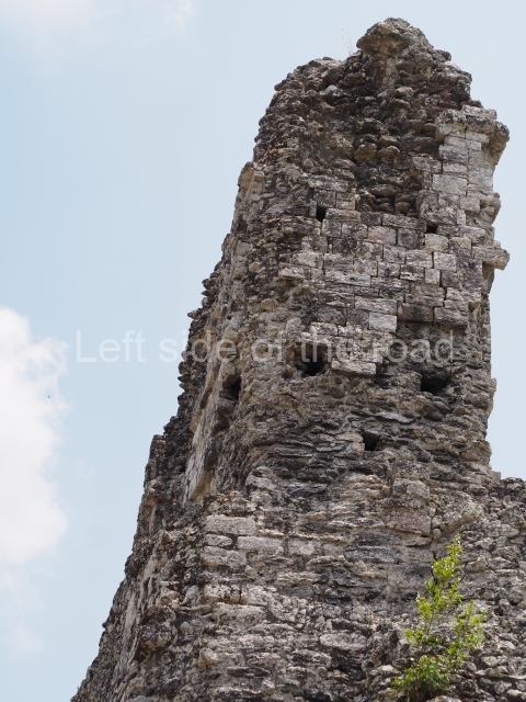
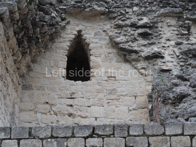
This is distinguished by its monumentality, with two solid lateral towers that rise 15 m above the plaza. The top of each tower has four openings – now sealed for protection from the rain – which were used for astronomical observations. Immediately south of the structure, the Maya architects constructed vaulted, two-storey buildings with 15 rooms on the ground floor and another six on the top floor. Construction commenced around AD 300 and the latest remodellings occurred in AD 1000.

Structure II.

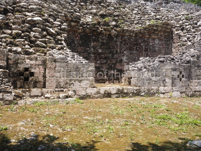
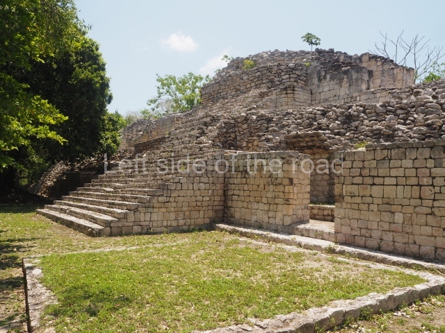
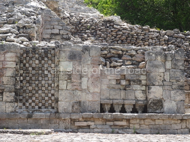
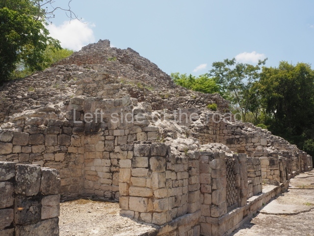
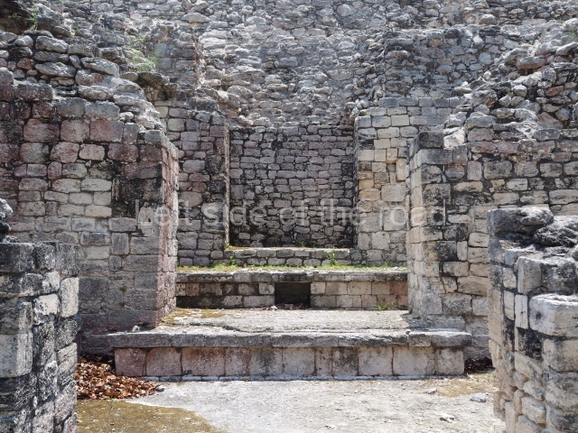
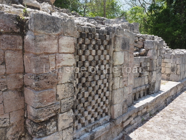
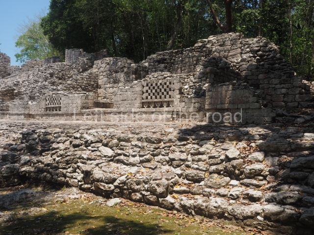
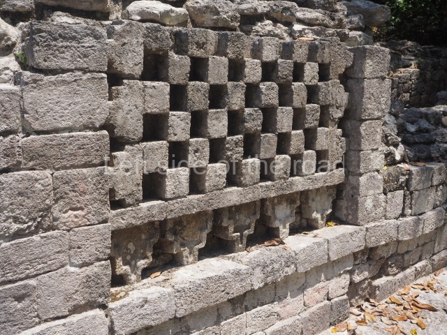
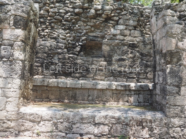
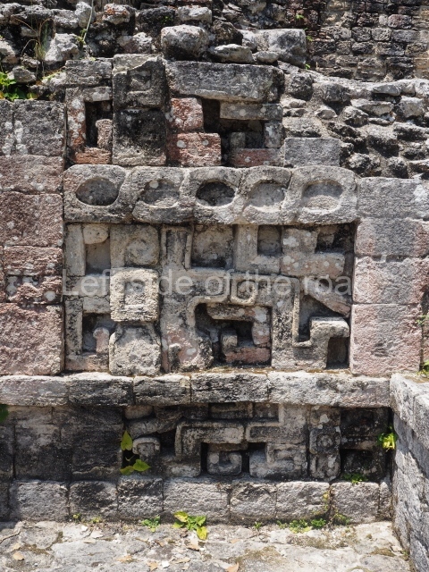
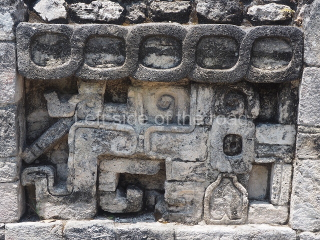
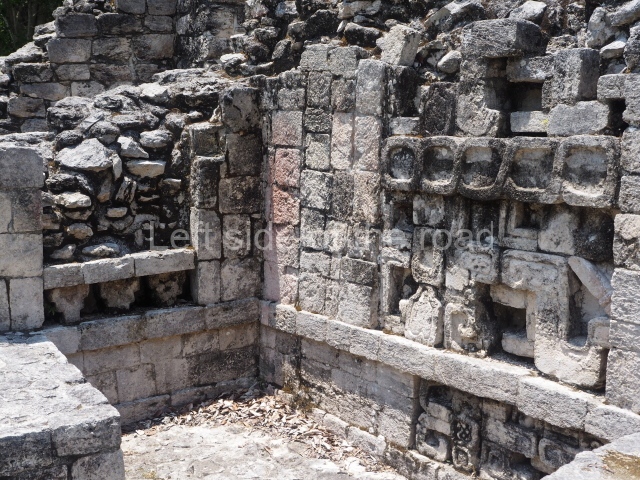
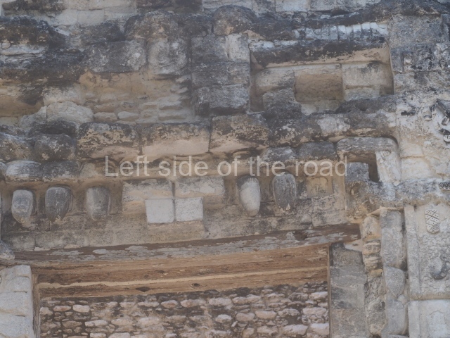
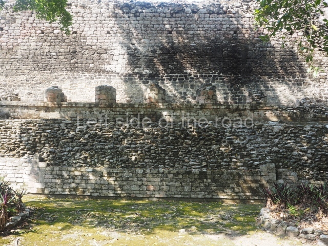
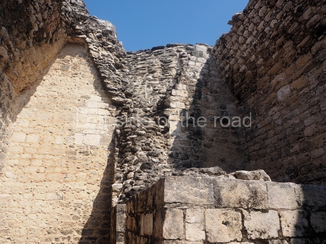
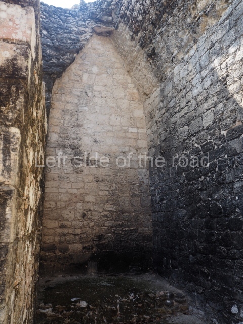
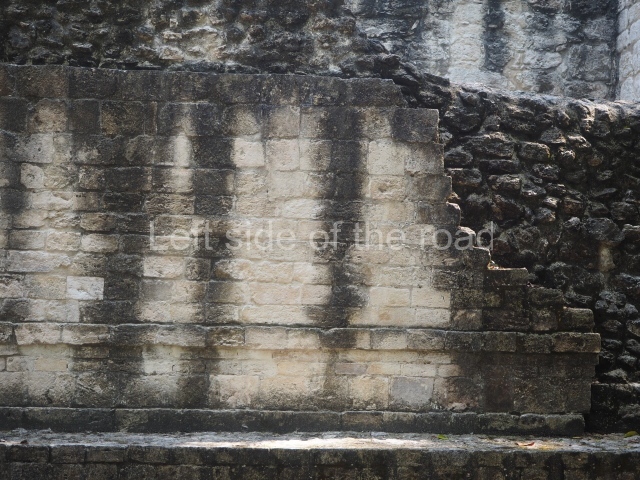
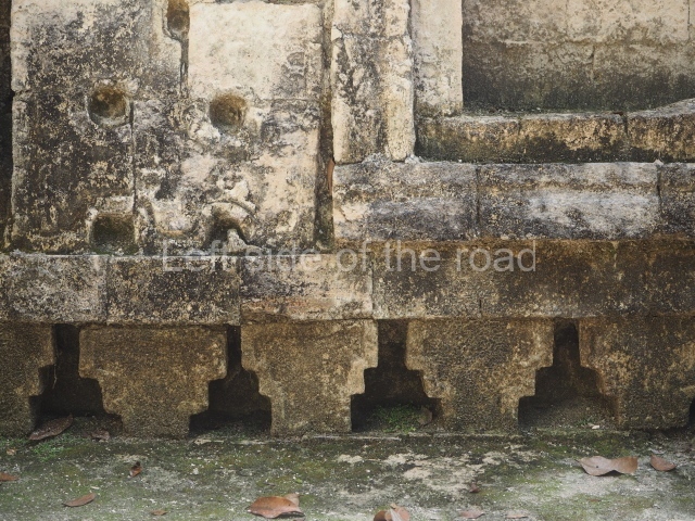
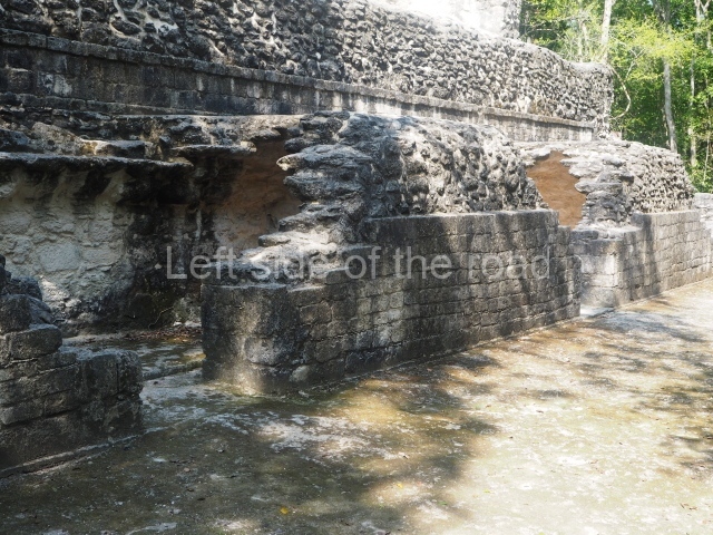
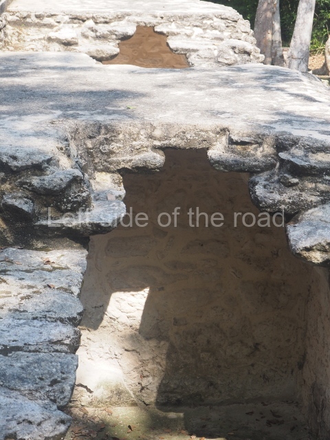
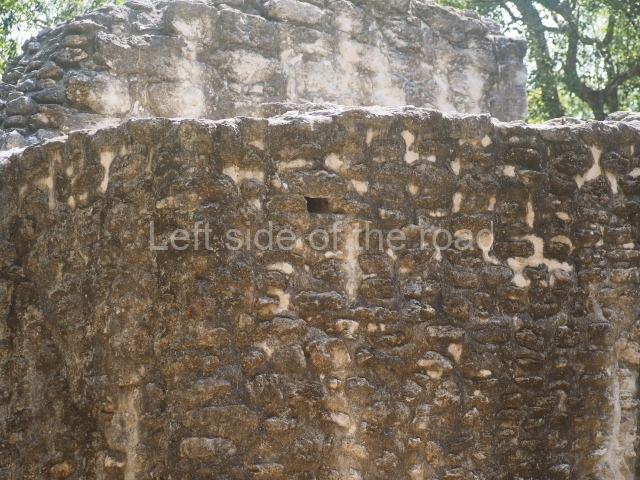
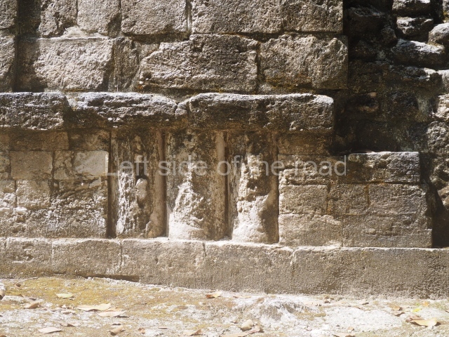
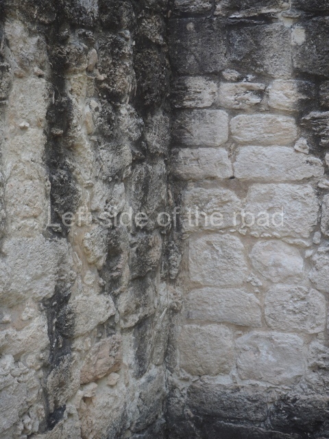
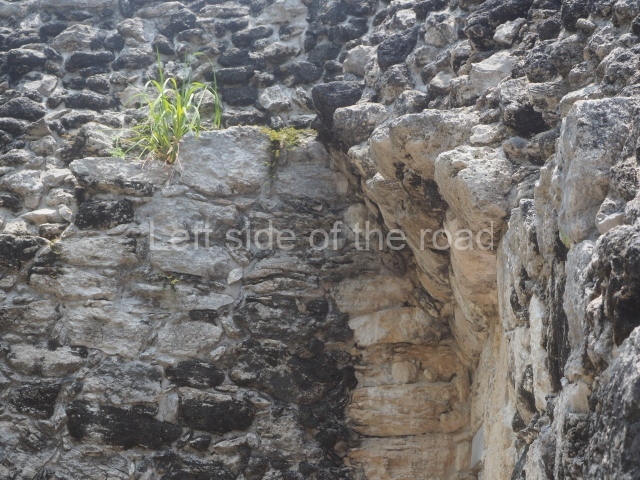
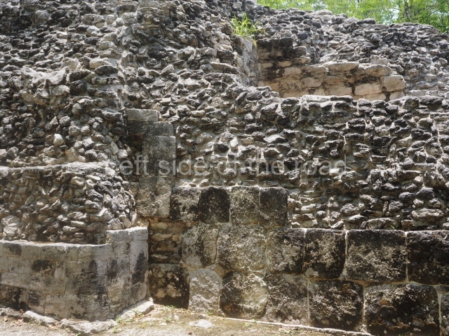
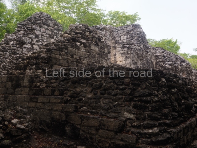
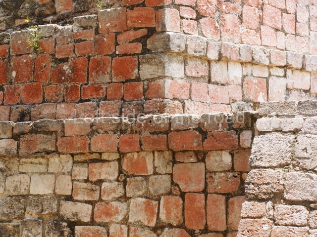
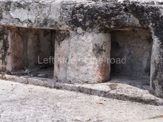
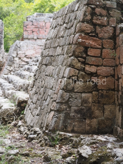
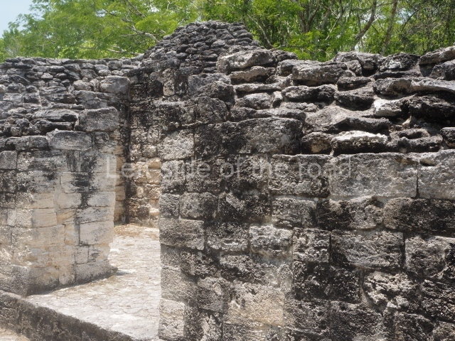
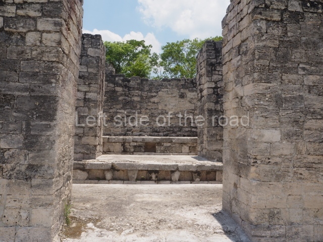
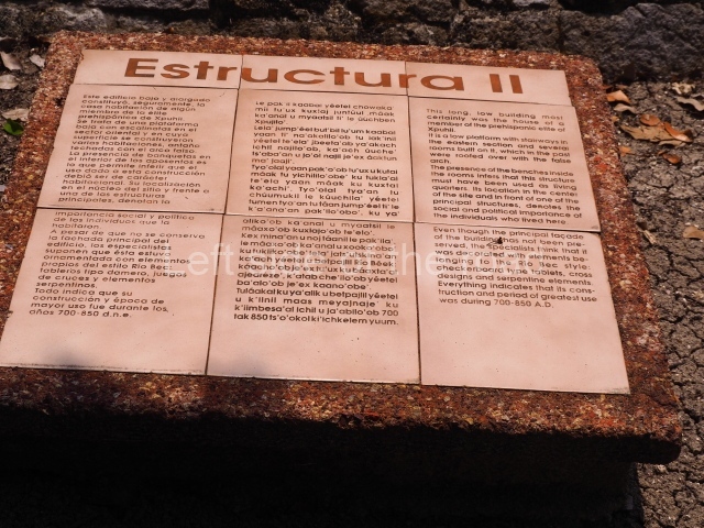
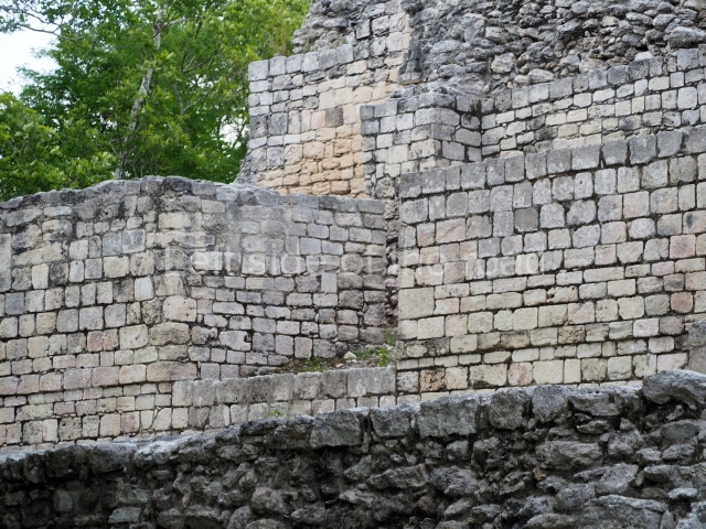
This is situated on the west side of Plaza A. The only part that has been explored is the facade on this side, which is 43 m long and approximately 15 m high, and parallel rooms. The rooms at the back have masonry benches, denoting their residential function. The facade was richly decorated with vertical panels displaying a chessboard pattern or small high and low-relief squares, and Ik symbols (second day in the Tzolkin Calendar) along the bottom of the walls. The stonemasonry is exquisite, and can still be appreciated today over 12 centuries later. Two tombs were found in the central bay, both elaborately made and covered with corbel vaults although never occupied.

Structure III.

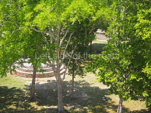
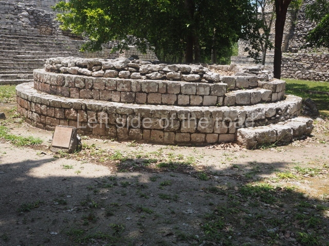
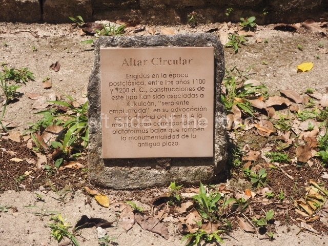
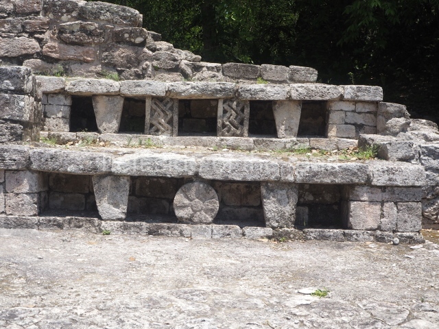
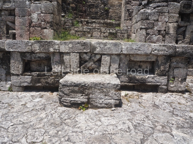
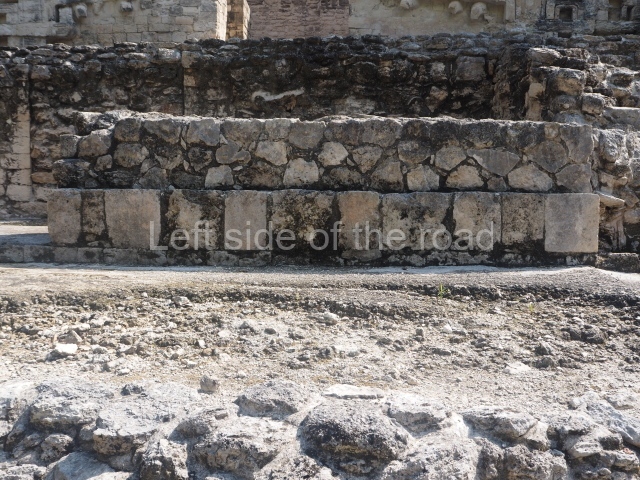
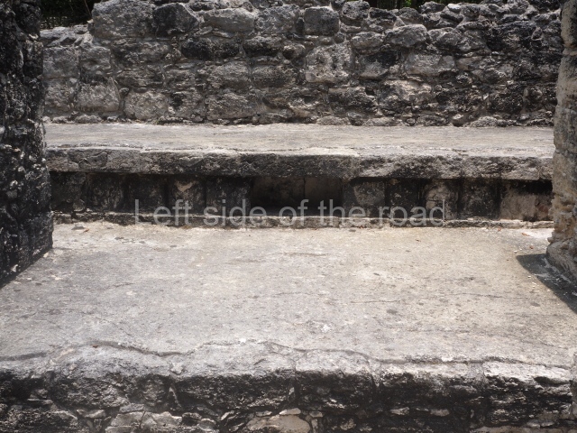
This is situated opposite the previous structure, occupying the east side of the plaza, and is approximately 50 m long. It was constructed in several stages and the final modification included a broad stairway leading to the second tier and directly facing a circular altar in the plaza, which measures 6 m in diameter and stands just over one metre high. The irregular inclusion of the latter element, which is neither in keeping with the axes of symmetry nor the monumentality of the surrounding constructions, suggests that it corresponds to the Terminal Classic (AD 900-1000).

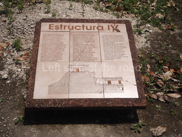
Structure IV.

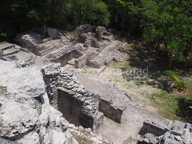
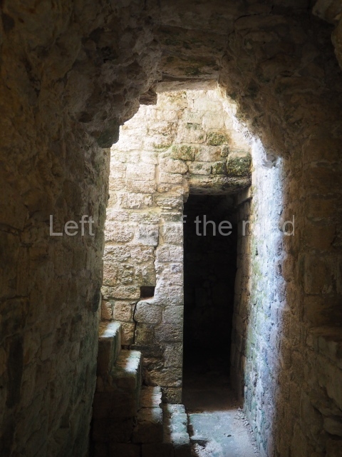
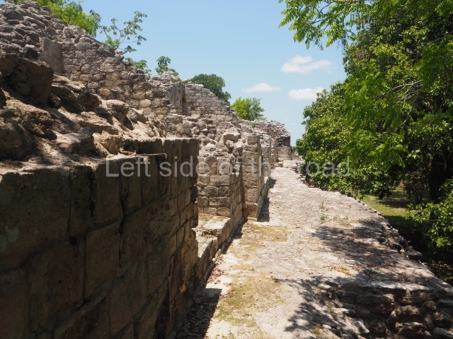
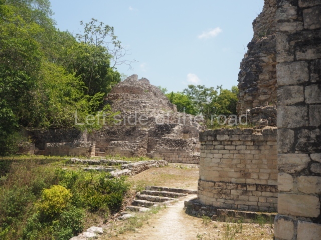
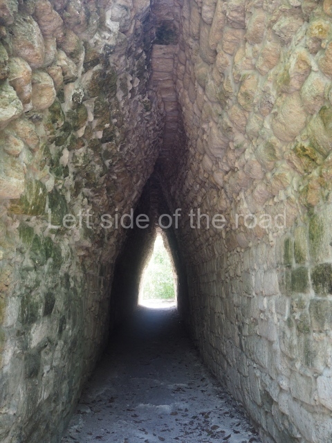
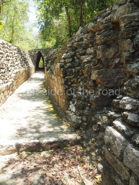
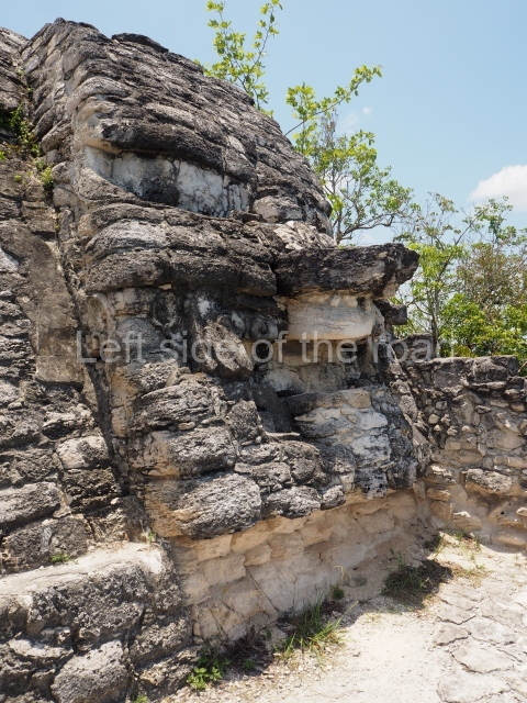
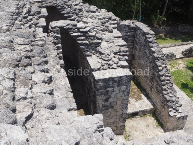
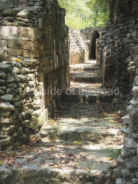
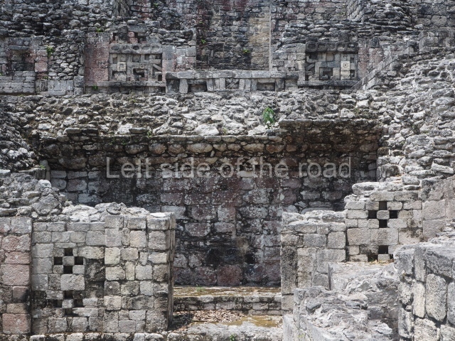
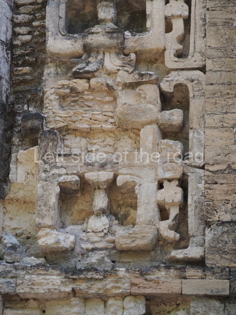
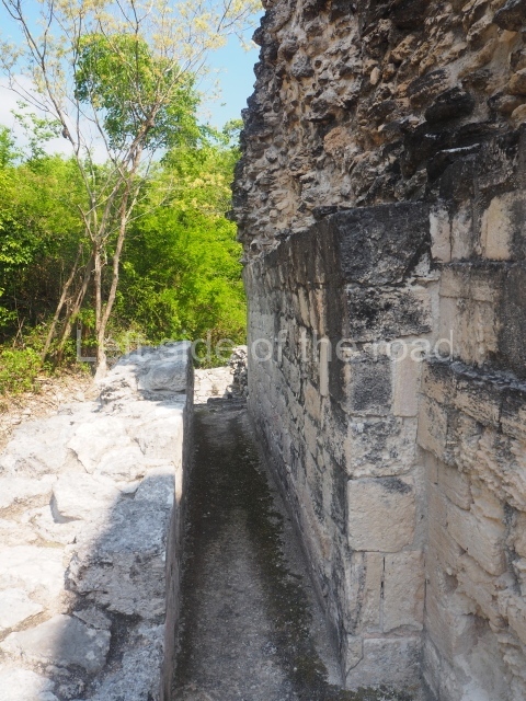
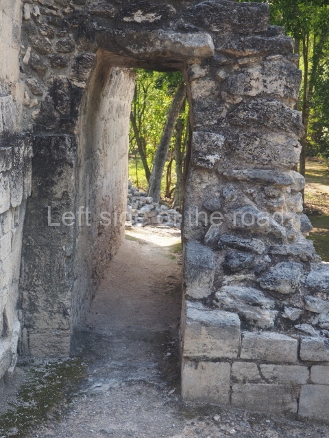
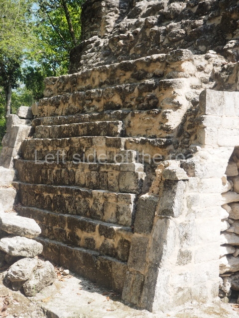
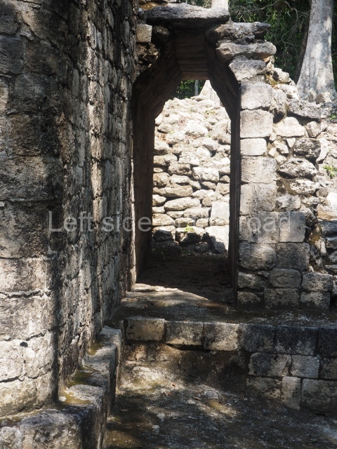
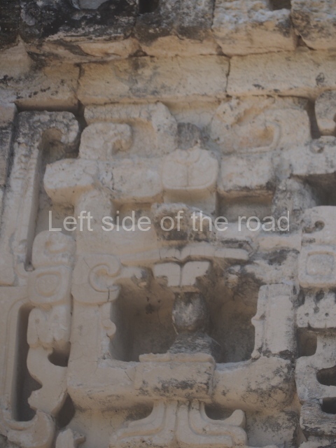
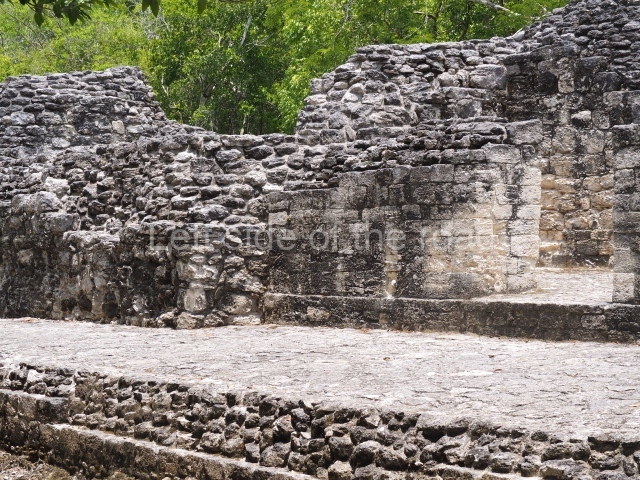
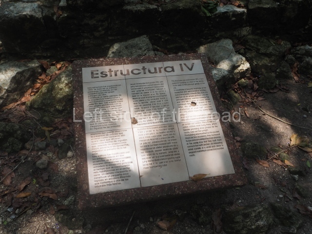
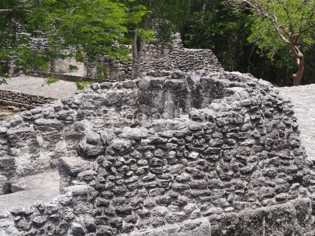
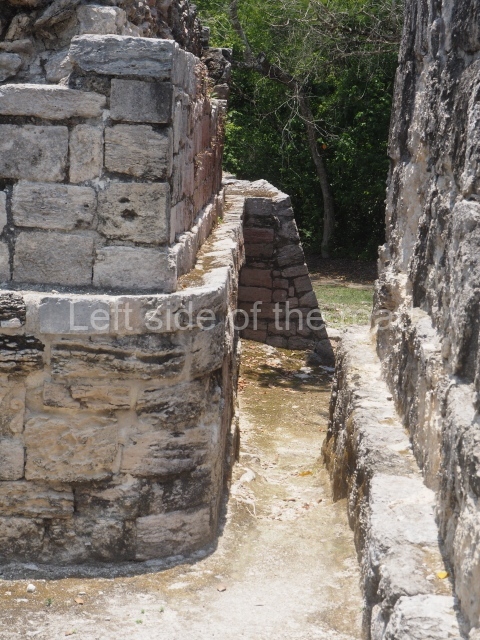
This is an interesting example of Rio Bec architecture: it has rounded corners and once sported non-functional stairways on its east and west facades. It seals the north side of the plaza and its entrance leads to a courtyard surrounded by rooms of varying sizes. The wall decoration includes stylised stone-mosaic zoomorphic masks. The north facade contains other constructions that once had vaulted roofs and were distributed on three levels, the terrain descending only just over 6 m. Further north is another annexe comprising six rooms with benches. Just beyond this is a long corridor, almost 60 m in length. Part of the vaulted roof can still be seen. The west end of this corridor leads to Plaza B, where structures VIII, IX and X are open to visitors.

Structure VIII.

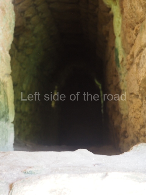
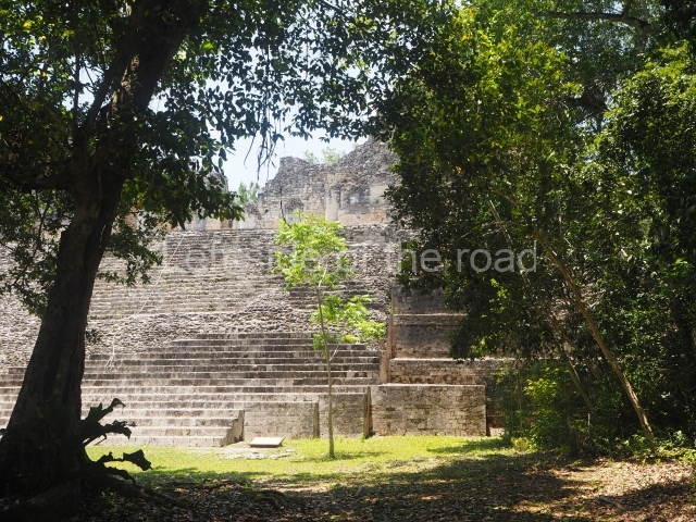
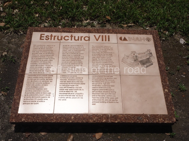
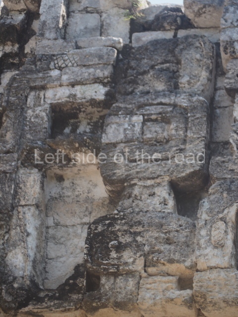
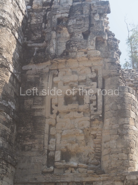
This is another of the monumental works in the city, with towers at its north and south ends, as well as the remains of a magnificent mask on the central facade. It once had nine rooms at the top and from the middle section it is possible to make out the buildings of the nearby Xpujil in the east. Beneath the platform (45×20 m), ten high-ceilinged (8 m) narrow chambers were found, none of which had stucco cladding, ventilation or natural light. It has been suggested that these were used for a variety of rituals, such as fasting, praying and auto-sacrifices or bloodletting; another suggestion is that they were used for storing surplus goods. Whatever the case may be, their practical purpose was to save many tons of construction material.

Structure IX.

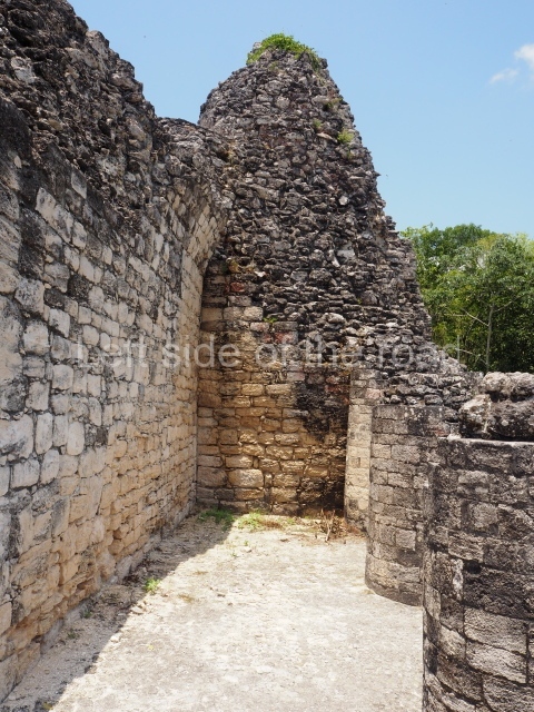
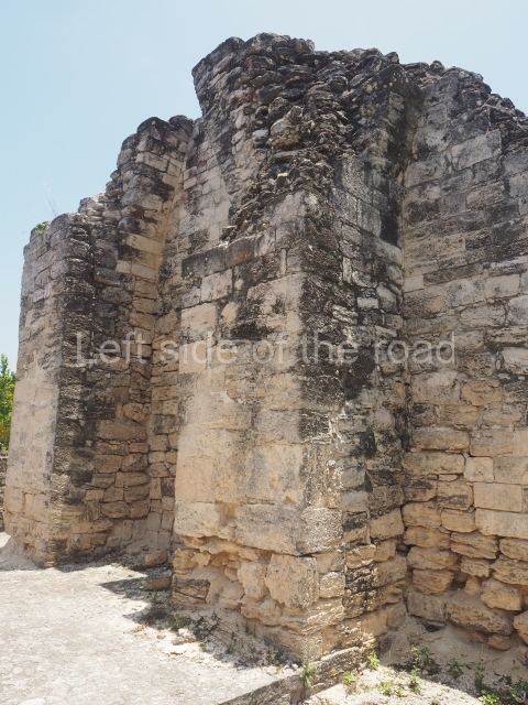
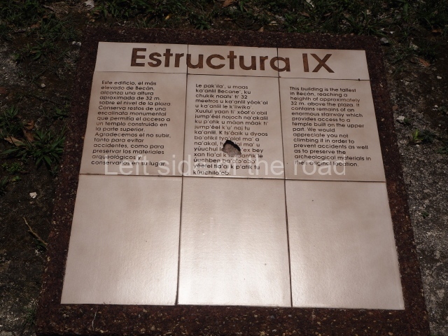
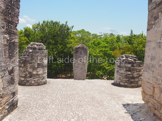
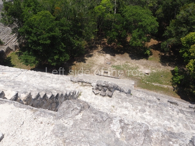
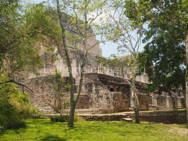
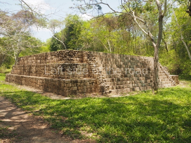
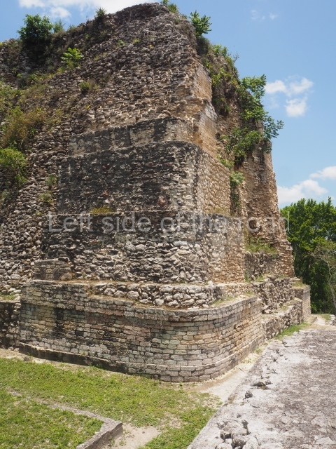
This is the highest one on the site (42 m). It displays three architectural phases. The first dates from the Late Preclassic (100 BC-AD 250), when four vast stepped volumes were built, their only access on the south side, and a temple at the top. The platform displayed masks combining human and feline features. A second construction stage during the Early Classic (AD 250-600) is confirmed by the architecture of the top temple and a rich offering of 15 vessels with extraordinary archaeological merits in terms of their timeline, epigraphy and symbolism. The third phase occurred during two specific points of the Late Classic (AD 600-900), when several rooms were added at both sides of the stairway at the middle of the front facade. In Postclassic times (AD 900-1400), anthropomorphic incense burners were placed amid the ruins of the top temple.

Structure X.

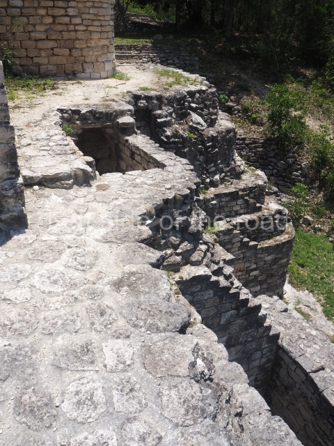
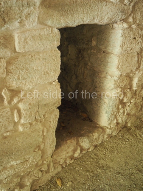
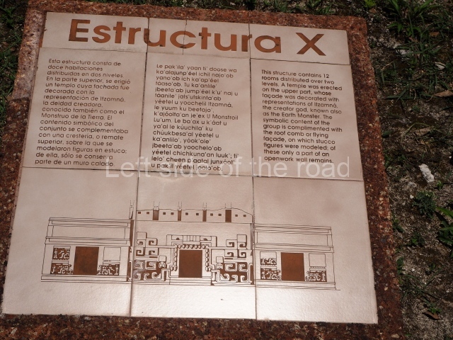
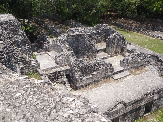
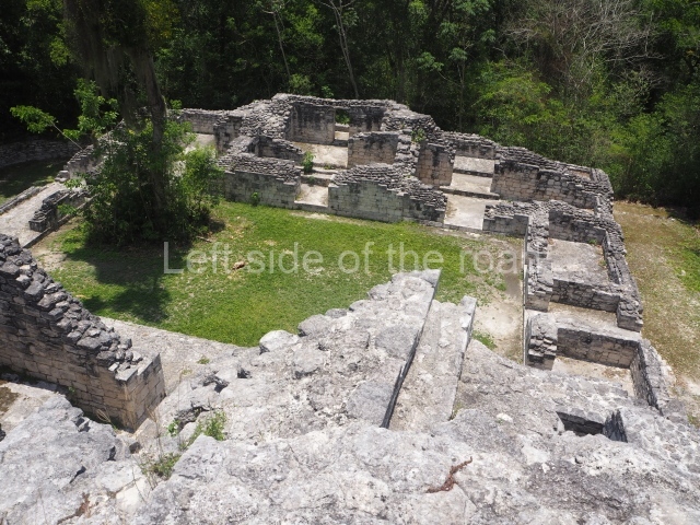
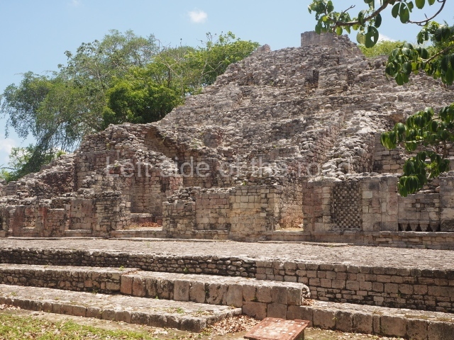
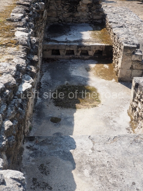
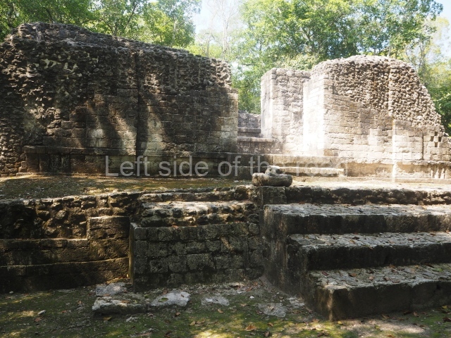
This pyramid platform is smaller than the previous one, standing 14 m above the plaza, and has a stairway on its east side. At the top of it are several rooms arranged in pairs, and at both sides, on a lower tier, another series of rooms which once had corbel-vault ceilings. The excavations conducted on the west side revealed a palatial complex containing close on 70 rooms distributed around courtyards to the north and south. Most of these rooms have benches, niches in the walls and interior accessories (a type of curtain rod) for hanging fabrics or animal skins to filter the sunlight. The gradual completion of the buildings, the creation of open and closed areas, access control and an evident restriction on the use of the space all occurred between AD 750 and 1000, during the height of Becan’s splendour.

Stucco frieze.

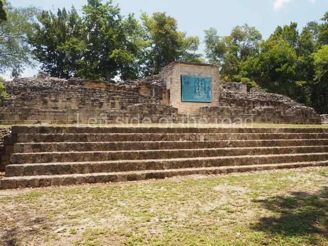
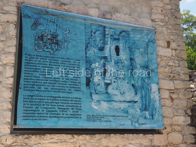
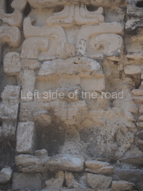
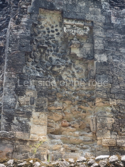
This polychrome stucco frieze was found to the south of Structure X, in one of the rooms in the aforementioned courtyards. It appears to be the portrait of a high-ranking official wearing nose rings made of round beads and large ear ornaments. The face rests on a small mask and the headdress displays another two masks, superimposed. Behind it, on both sides, it is possible to discern the profile image of the Earth Monster, with blazing eyelashes and open jaws. The figure is situated beneath the 01 symbol, or entrance to the underworld, characterised by a cavity with four lobes. This evidently represented his sojourn in the other world. The comparison of this motif with similar stucco motifs found at Balamku, Placeres and Kohunlich suggest that it dates from around AD 400.

Ball court.

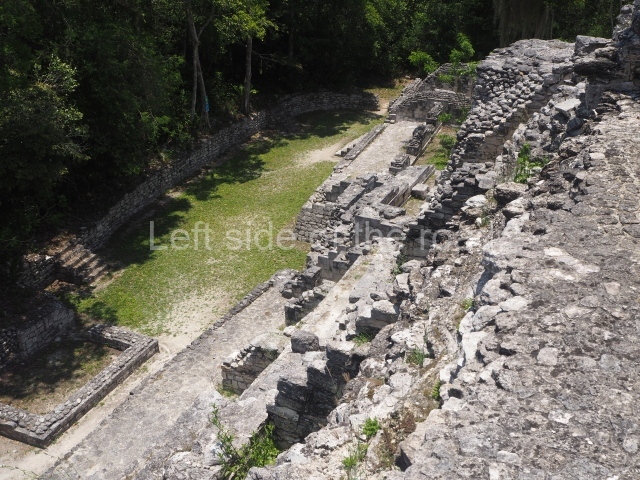
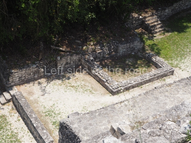
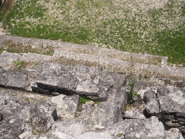
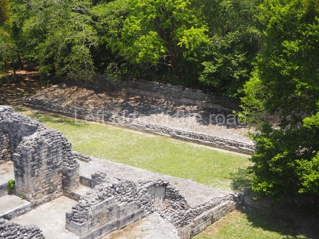
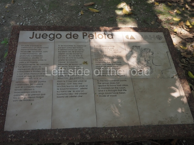
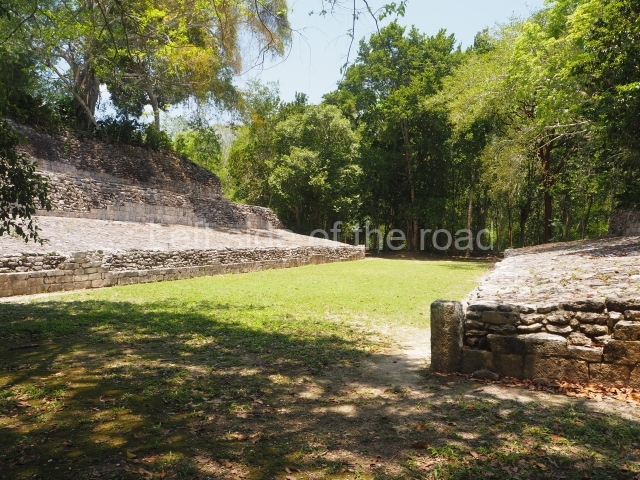
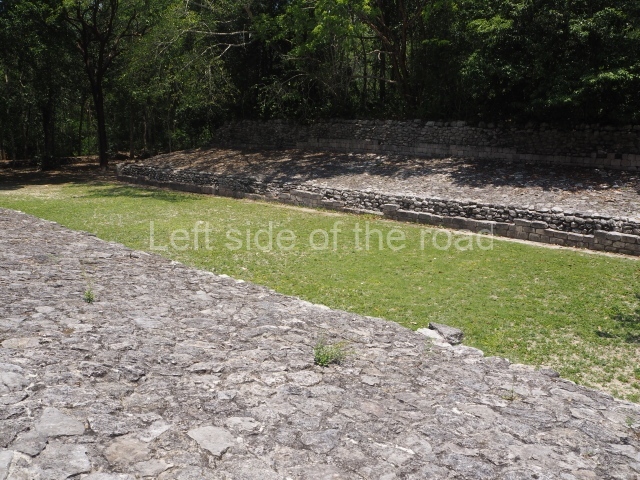
The west section is occupied by Plaza C, whose east side is delimited by the main ball court at Becan. This is composed of two parallel north-south constructions which form a play area 32 m long and 9 m wide. No rings or stone markers were found during the exploration of this space. There are traces of various stelae at Becan, but little is known about their inscriptions or reliefs because some of them were smooth and others were in an advanced state of decay. An interesting offering of Teotihuacan pieces found at Structure XIV is on display at the Yucatan Archaeology Museum (Merida).Other pieces found at Becan can be viewed at the Campeche Archaeology Museum.

Importance and relations

The concentration and quality of the monumental architecture at Becan prove its status as a political, economic and religious capital in ancient times. It was the most important city in the Rio Bec archaeological area, which is situated in the middle of the base of the Yucatan Peninsula, midway between the Gulf of Mexico and Chetumal Bay

From: ‘The Maya: an architectural and landscape guide’, produced jointly by the Junta de Andulacia and the Universidad Autonoma de Mexico, 2010, pp326-331.

Becan

Becan

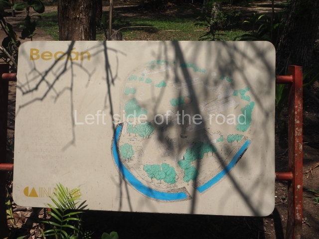
  1. Plaza A; 2. Structure I; 3. Structure IV; 4. Plaza B; 5. Structure VIII; 6. Structure IX; 7. Stucco Frieze; 8. Plaza C; 9. Bal court.

Getting there:

From Xpujil. It’s possible to take colectivos that are heading toward Conhuas or the SUR bus heading towards Puerto Escárcega. Flag anything that looks like a colectivo to get back.

Entrance:

M$75

More on the Maya

Hormiguero – Campeche – Mexico

Hormiguero

Hormiguero

More on the Maya

Hormiguero – Campeche

Location

To reach this site, take the asphalt road that leads south from Xpujil then head west at km marker 13.5 to the Echeverria Castellot II community, before Carrizal. Just before you reach the village, follow the road north for another 8 km. The pre-Columbian ruins are surrounded by areas of medium to high rainforest. Some patches of high rainforest grow among the ruins. The neighbouring communities have cleared certain areas for farming purposes and livestock breeding. The pre-Hispanic settlement is distributed over a practically flat terrain with just a few slight natural elevations in the south section. It comprises various clearly defined architectural complexes that form plazas and rectangular courtyards. Around these are several groups of platforms and the dwelling foundations, but none with the monumentality of the central spaces. The name Hormiguero is derived from the anthills that the rubber tappers used as points of reference in the rainforest. In the mid-19th century there was a large nest of leaf-cutter ants in a section of the archaeological ruins; these ants can clear vast areas of vegetation at ground level, drastically altering the thick greenery. It was this dramatic circumstance of a space devoid of vegetation that led this name to be adopted.
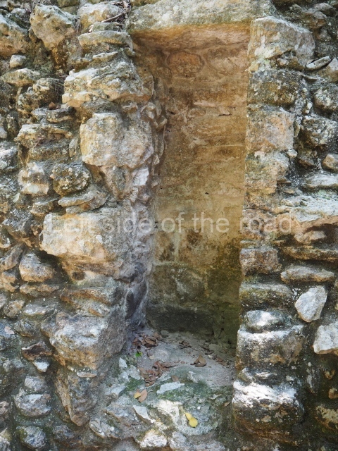
Timeline and site description

The earliest archaeological materials found at Hormiguero reveal that its construction and demographic boom occurred between AD 600 and 800. The site then gradually lost its political and economic strength, culminating in the mid-13th century when the settlements in the region were abandoned.

Structure II

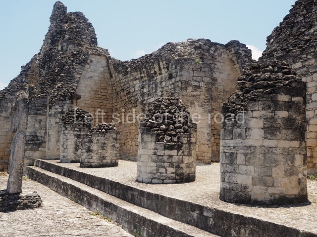
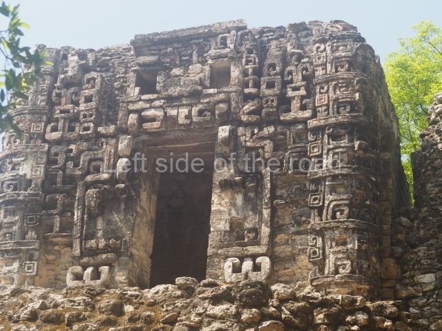
The first building we come to is an imposing Rio Bec-style construction over 40 m long and 20 m wide, whose central facade displays an enormous mask of Itzamnaaj, one of the principal Maya gods. The mask is made of masonry and stucco; it measures 13.5 m in length and 7.8 m in height, thus constituting the largest such mask in the Rio Bec region. The mask is flanked by two towers with nonfunctional stairways and simulated temples at the top, representations of the sacred mountain from which the powerful god emerged. The spaces in front of and behind the central entrance to the structure create an excellent stage that would have been used for holding ceremonies. Both the architectural programme and archaeological evidence confirm that the construction functioned as a residence for the elite, who manifested their close relationship with the supernatural world by surrounding themselves with awe-inspiring religious symbols. The building has three rooms on the first tier of the south side; these correspond to an early construction phase in the 5th century AD. Two small stairways lead to the next tier, built around 700 AD, where another six large spaces equipped with benches served as sitting rooms or bedrooms. This tier also contains various other roofed spaces, such as a vaulted passageway to facilitate circulation in front of the towers and a narrow chamber in each of these volumes. On the north side are elements that recall Structure VIII at Becan – namely, eight masonry columns of imposing height and width that once led to a long gallery. This space is flanked on each side by a vaulted room with its own entrance, separate from the remaining parts of the structure.
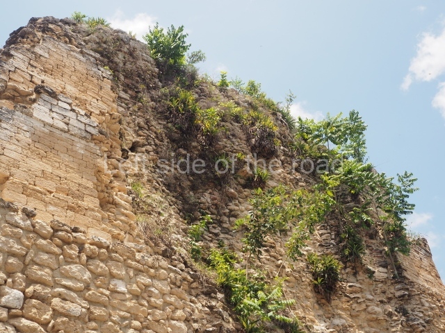
Structure V.

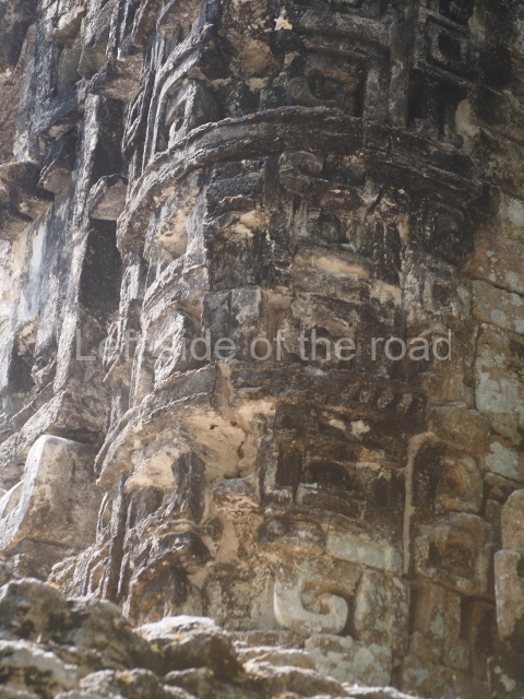
This two-tier partially excavated building is situated approximately 60 m north of the previous structure. The ground-floor tier once contained a series of large rooms, while the central part of this level is enhanced by a small platform with a temple. Behind the stairway is a passageway that not only saved filling material but also facilitated the flow of movement through the building. The profuse temple decoration evokes a type of horror of the void, with volutes and iconographic elements covering the entire surface. The main entrance very clearly imitates the jaws of the Earth Monster, with its curvilinear teeth. On both sides of the entrance, forming the corners of the building, are stacks of masks; such features are typical of the architecture still visible on buildings in the region, such as Structure XX at Chicanna and the temple-palace at Tabasqueno, in north-eastern Campeche.

Importance and relations

Hormiguero is situated in the heart of the Rio Bec architectural region, between Becan and Xpuhil in the north, and the various Rio Bec groups in the southeast. Its commercial relations probably extended to Chetumal Bay, with links with Nicolas Bravo and Kohunlich, as well as with the pre-Hispanic sites in what is now northern Belize.

From: ‘The Maya: an architectural and landscape guide’, produced jointly by the Junta de Andulacia and the Universidad Autonoma de Mexico, 2010, pp334-335.

Hormiguero

Hormiguero

  1. Structure I; 2. Structure II; 3. Structure III; 4. Structure V; 5. Structure VI; 6. Structure VIII; 7. Structure IX.

Getting there:

This is almost impossible without your own transport – unless you contract a local taxi to take you on a tour of the four ‘local’ sites – Hormiguero, Xpujil, Becan and Chicanna.

GPS:

18d 24’36” N

89d 29’34” W

Entrance:

Free.

More on the Maya

Xpujil – Campeche – Mexico

Xpujil

Xpujil

More on the Maya

Xpujil – Campeche

Location

The archaeological area is situated due west of the village of Xpujil, on Federal Road 186 between Chetumal (120 km east) and Escarcega (150 km west). The central part of the base of the Yucatan Peninsula witnessed the emergence of Rio Bee architecture at several settlements between the 6th and 8th centuries AD. One of the sites that exemplifies this style is Xpuhil, situated at the west end of the almost homonymous town of Xpujil, the administrative centre of the municipality of Calakmul. The name Xpuhil is derived from the Yucatec Maya language and there are two hypotheses about its origin. Certain authors point out the name of a plant whose flowers resemble the tail of a feline: xpuhil, ‘cat’s tail’ (Cladium jamaicense); others believe the toponym refers to a ‘hunting place’: puh, ‘tracking, hunting’, //, ‘place of’.

Timeline, site description and monuments.

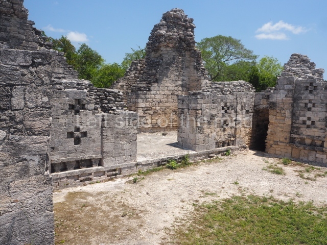
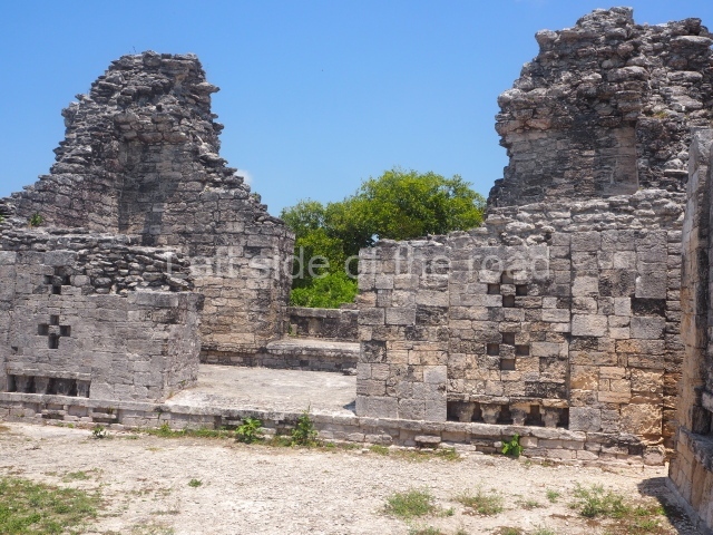
Most of the constructions visible today at the preHispanic site were built between AD 600 and 800. At the entrance to the archaeological area are several monumental mounds as yet unexcavated and covered by vegetation. The path leads to Structure IV, which is composed of a platform over 30 m long, at the centre of which rises a 5-m-high pyramid. Flanking the pyramid are two rooms with entrances on their east or main side. The exterior walls display a pair of crosses, forming a chessboard pattern; the gaps must have also been used to ventilate and cool the interior. Inside the rooms are low, wide benches, the fronts of which are decorated with symbolic motifs.

Structure III is similar to the previous one but has no pyramid. Situated on a solid masonry platform are four rooms comprising spacious benches; the centre of one of these is decorated with various small drums that are reminiscent of Puuc elements. The rooms were originally covered by corbel vaults and have been identified as the dwelling spaces of high-ranking figures in the ancient city. A little further west lies another mound, unexcavated, and on its north side another platform supports Structure II, a palatial complex with six rooms around a central courtyard. The access stairway is situated on the east side and has broad balustrades. The far west end of the archaeological area is occupied by the monumental Structure I, which stands atop a 60×30 m platform. The most outstanding elements of this construction are the three towers, two at the sides and one in the middle of the rear facade. There are 12 rooms distributed according to the cardinal points, most of them containing benches. Six rooms arranged in pairs can be accessed from the east side. The three facades have been lost and only parts of the stacks of stylised masks flanking the entrances can still be seen today. At the north and south ends of the building, behind each of the lateral towers, are two rooms. The other two rooms face west and are accessed from the west, being situated on both sides of the central tower. With their rounded corners and non-functional stairways, the towers are typical of Rio Bec architecture. The steps used to be adorned by three giant stone mosaic masks of Itzamnaaj, and each of the towers culminated in a false temple with a roof comb. The facade of these shrines repeated the ubiquitous image of the principal deity, with an open mouth surrounded by curved teeth, ear ornaments, a nose ring, volutes and associated symbols. The north and south towers must have once stood approximately 18 m high, and the central one, much better preserved, is 23 m high. The south tower has an interior staircase rising to a somewhat higher point than the roofs of the rooms.

No sculptures or stelae have been recorded at Xpuhil. During the restoration works of the north and south towers of Structure I in the 1970s, two flint knives left by the Maya builders were found at a height of approximately 15 m. The pieces were finely carved and were uncovered in the sections corresponding to the upper masks, which had been lost years earlier. One of the knives is shaped like a laurel leaf, while the other has notches along the edges and still has traces of red and blue pigments. Both pieces are on display at the Archaeology Museum of Campeche.

Xpujil

Xpujil

Importance and relations

The archaeological area open to visitors is only part of what was the ancient settlement. In certain blocks in the modern town of Xpujil, as well as in the surrounding area, it is still possible to see traces of the monumental architecture built by the ancient Maya. Even so, the urban development has practically erased them. In preHispanic times Xpuhil must have had strong links with nearby sites such as Becan and Chicanna to the west, and Payan and Okolhuitz to the east. These coexisted on the Caribbean route with the towns of Nicolas Bravo, Kohunlich, Dzibanche, Butron and Xulha

From: ‘The Maya: an architectural and landscape guide’, produced jointly by the Junta de Andulacia and the Universidad Autonoma de Mexico, 2010, pp336-337.

Xpuhil

Xpuhil

1-6. Structures I to VI

Getting there:

The site entrance is only a short walk from the area that the buses and combis stop, in Xpujil town, on the main highway between Chetumal and Puerto Escarsega. Follow the road west, on the right hand side and the entrance is to the right of the pavement, just as the road starts to climb slightly.

GPS:

18d 30’ 38’ N

89d 24’ 22” W

Entrance:

M$70

More on the Maya