Kohunlich – Quintana Roo – Mexico

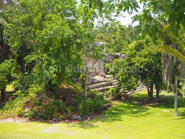
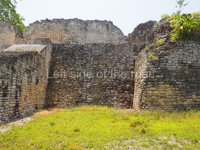
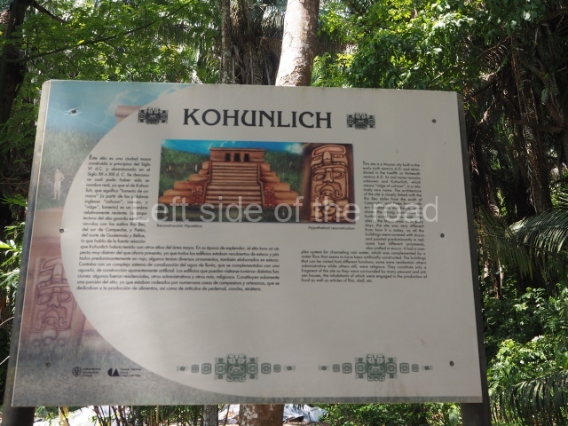
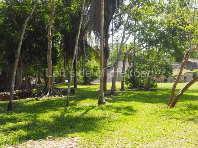
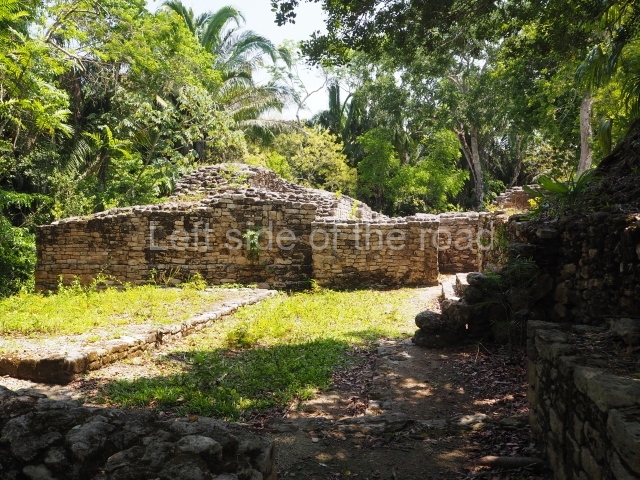
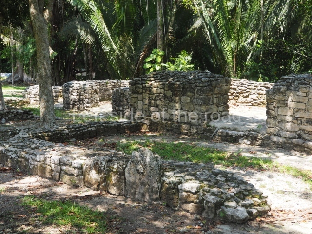
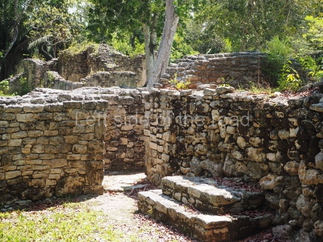
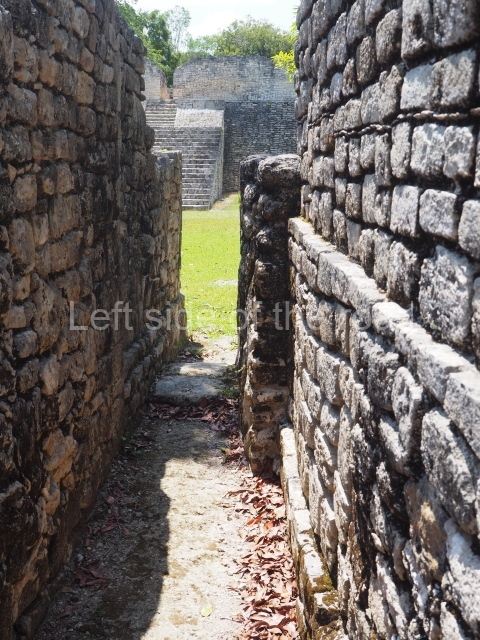
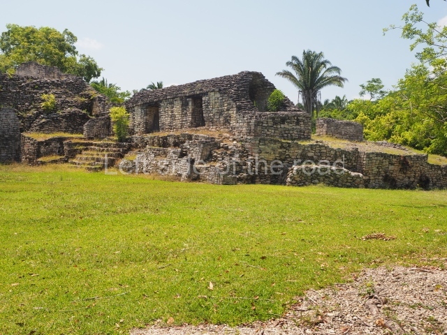
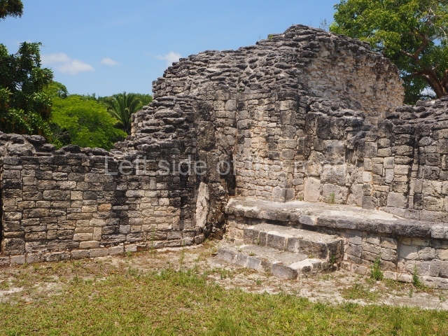
Kohunlich Location The site is situated 70 km west of Chetumal. Take Federal Road 186 and when you reach the village of Francisco Villa there is a turn-off to the south (10 km) which leads to the archaeological site. The pre-Hispanic city occupies a flat area and the adjacent hills with patches of medium-height rainforest and groups of corozo palms. Situated in a low area north-east of the settlement is an aguada approximately 50 m in diameter which provides water all year round and was fundamental for the ancient inhabitants. The name of the pre-Hispanic site is a corruption of the English words 'cohune' (corozo palm) and 'ridge'. It appears to have been coined in the mid-20th century by Yucatec Maya speakers who had difficulty pronouncing the 'r' sound. Timeline and site description The archaeological explorations indicate that the site was first occupied around the 5th century BC. It continued to grow during the Early Classic (AD 250-600), reached its peak in the Late Classic (AD 600-900) and was abandoned around AD 1100. The tour of the site can take several hours if you want to explore the excavated spaces in detail. The best-known buildings are situated in the core area of the settlement: the Pyramid of the Masks, the Ball Court and the Acropolis are perhaps the most interesting, but the Pixaan, 27 Steps and Yaxna groups are also worth seeing. Pyramid of masks. This construction in the Peten style adopts the form of a four-tier platform with a temple at the top comprising five very narrow rooms. The corners are rounded and it has a single stairway, on the west side, flanked by stucco masks. The faces symbolise the sun god at various points of its passage across the firmament. The construction is approximately 25 m long and 20 m wide, and stands nearly 11 m high, not including the guano palm roof that protects the stucco pieces. During the second half of the 20th century the masks were illustrated as symbols of Quintana Roo. Pixaan group. This is situated some 200 m southwest of the Pyramid of Masks on a natural mound. It comprises several constructions, the most imposing of which is the one that is located north of the group and faces south. It is accessed via a wide terrace and had four generous-sized rooms, revealing its former importance. To the west and south lie other constructions, also with several rooms but this time of smaller proportions. Most of the constructions display features typical of the Rio Bee style. 27 steps group. This is reached by following the path situated south-west of the Pixaan Group. It was thus called because of the various flights of steps leading to the group of buildings at the top of the hill. In this upper section there is a rectangular courtyard surrounded by several masonry buildings with rooms of a residential nature. The deliberate east-west orientation of the courtyard is plain to see, as well as the arrangement of the works on several levels in relation to the latter. Situated south-east of the main group are various other constructions also near the top of the hill. Ball court. This is situated north of the Pixaan Group. Oriented east-west, the court is approximately 60 m long and just over 10 m wide. Like the majority of the constructions on the site, the walls are clad with regular-shaped limestone veneer stones. No stone ring or any other fragments have been found. Merwin plaza. This rectangular space west of the Ball Court is surrounded by four elongated buildings. The west construction is fronted by pairs of columns, providing access to the interior, and the constructions on the north and south sides also had several entrances formed by pilasters. At the centre of the plaza lies a quadrangular platform. Temple of the stelae. This monumental space is situated north of Merwin Plaza. It takes its name from the various monoliths that can be seen on the east stairway. Its principal axis runs north-south and it had several rooms accessed from the east and west. A masonry roof comb displays six stucco figures seated on a type of throne that adopts the form of a giant mask of the Earth Monster or Sacred Mountain. The figures may have represented rulers of Kohunlich. Acropolis. This is an irregular quadrangle (60x45 m) with a single access on the west side and an average height of 10 m, the result of several construction phases. Parts of towers with steep non-functional stairways typical of Rio Bee architecture have been recorded on the east and south sides. These were added in ancient times as fillings for the Acropolis. In the upper section is a large courtyard with several rooms on the south and west sides. The constructions in the south-west section seem to have been the latest additions, around AD 1000. Road group. Just west of Merwin Plaza are several platforms that have not yet been excavated, ranging in height from one to two metres. Together, they form three parallel roads or long corridors approximately 100 m in length. They are not unlike the 'avenues or roads' reported at Chacchoben, north of Bacalar, or those recorded at Chichmuul, 40 km further north. North-west group. This is situated west of the Acropolis and represents another set of rooms formerly covered by corbel vaults. Some of them have benches and many display various modifications. The majority were used for residential purposes. Yaxna plaza. This monumental space with its platforms and pyramids is situated some 600 m north-west of the previous group. Only a few of the buildings have been excavated. These comprise both residential and worship functions, dedicated to the memory of high-ranking officials. The ceramic materials of the offerings that have been found are from the Early Classic (AD 250-550). Importance and relations Kohunlich boasts major examples of Peten architecture as well as constructions that bear witness to the emergence of the Rio Bee style and its gradual transformation. It is therefore a key point for beginning to gain an understanding of the bygone societies south of the site, which were closely linked to those of northern Belize and south-eastern Campeche. Meanwhile, the analysis of the various types of housing and grave goods belonging to the different social classes will undoubtedly shed light on the composition and political integration of Kohunlich down through the ages. From: ‘The Maya: an architectural and landscape guide’, produced jointly by the Junta de Andulacia and the Universidad Autonoma de Mexico, 2010, pp346-347 How to get there: From Chetumal. From the combi station behind the Museum of Mayan Culture take the Nicolas Bravos bound combi and get off at Francisco Villa – about an hour. M$60. The turn off to the site is to the left of the direction of travel. Try and hitch or encourage someone to give you a lift on the back of their motorbike. Pay between M$50 and M$100. Once at the site ask if anyone can give you a life to the junction. That seems to be a M$50 standard. Entrance: Kohunlich

Kohunlich

More on the Maya

Kohunlich – Quintana Roo

Location

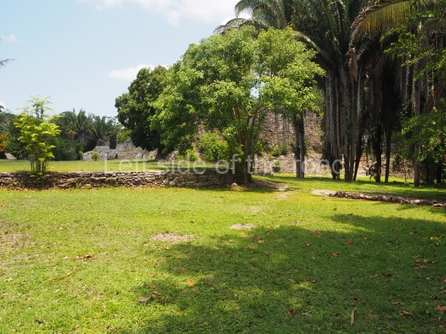
The site is situated 70 km west of Chetumal. Take Federal Road 186 and when you reach the village of Francisco Villa there is a turn-off to the south (10 km) which leads to the archaeological site. The pre-Hispanic city occupies a flat area and the adjacent hills with patches of medium-height rainforest and groups of corozo palms. Situated in a low area north-east of the settlement is an aguada approximately 50 m in diameter which provides water all year round and was fundamental for the ancient inhabitants. The name of the pre-Hispanic site is a corruption of the English words ‘cohune’ (corozo palm) and ‘ridge’. It appears to have been coined in the mid-20th century by Yucatec Maya speakers who had difficulty pronouncing the ‘r’ sound.

Timeline and site description

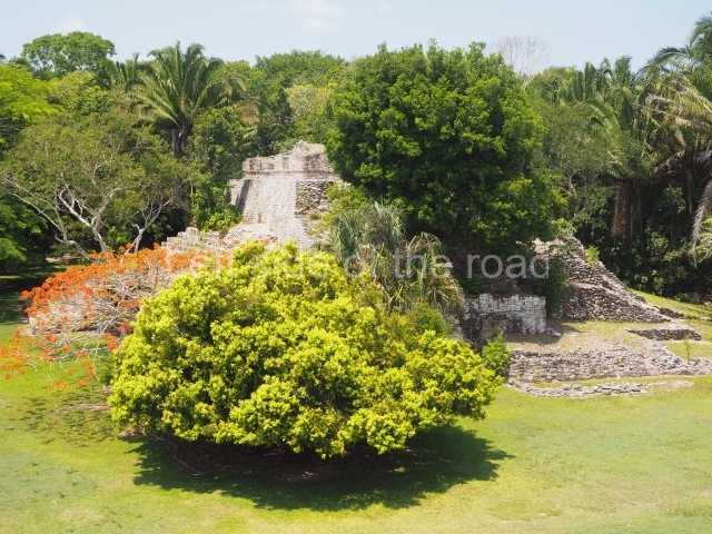
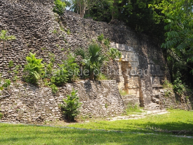
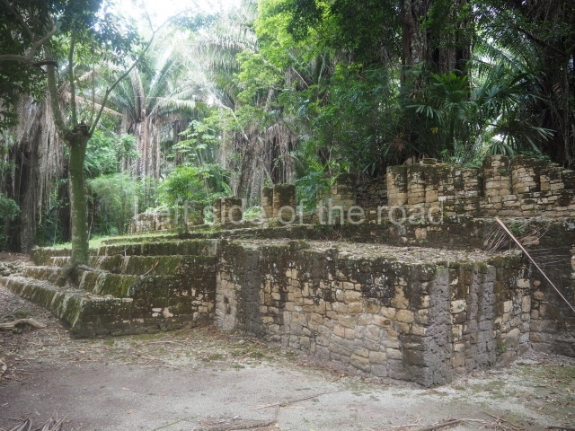
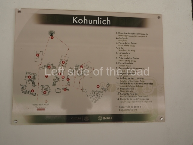
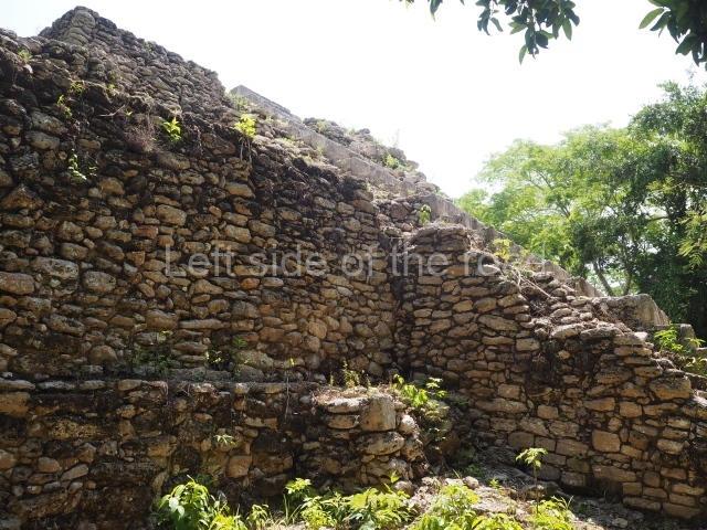
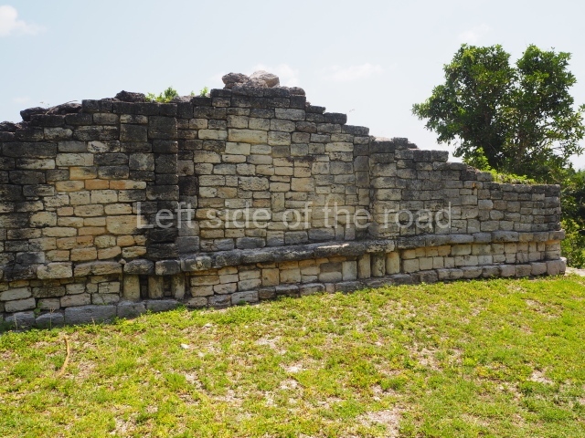
The archaeological explorations indicate that the site was first occupied around the 5th century BC. It continued to grow during the Early Classic (AD 250-600), reached its peak in the Late Classic (AD 600-900) and was abandoned around AD 1100. The tour of the site can take several hours if you want to explore the excavated spaces in detail. The best-known buildings are situated in the core area of the settlement: the Pyramid of the Masks, the Ball Court and the Acropolis are perhaps the most interesting, but the Pixaan, 27 Steps and Yaxna groups are also worth seeing.

Pyramid of masks.

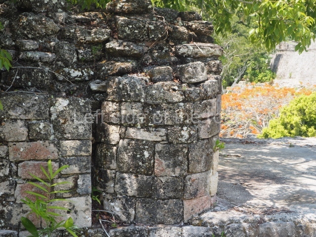
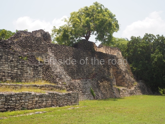
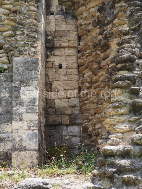
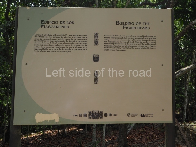
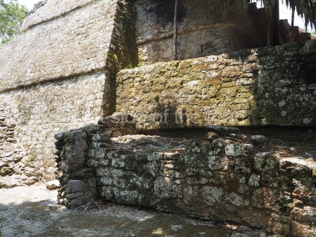
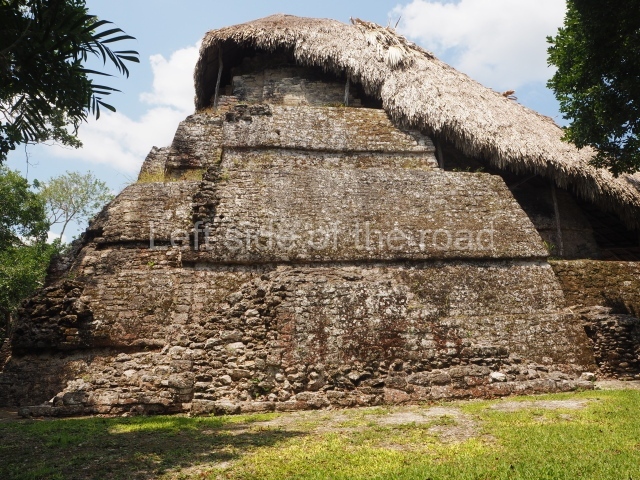
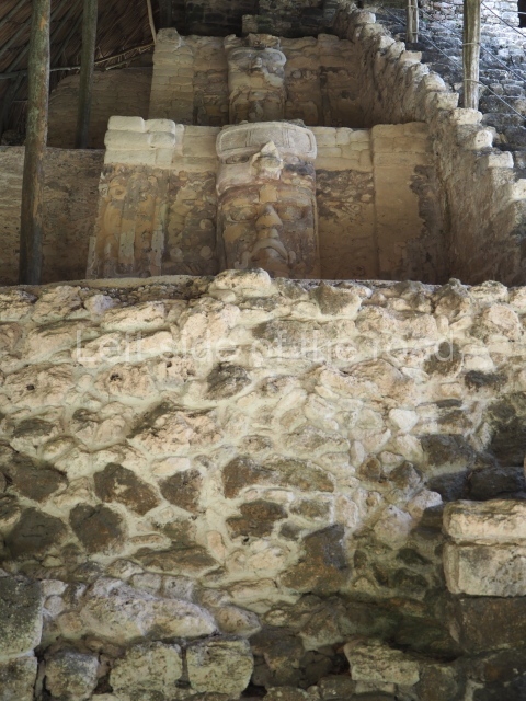
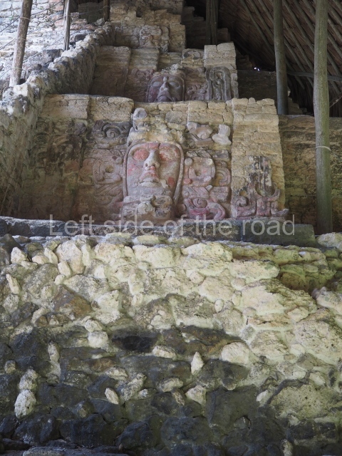
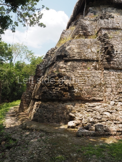
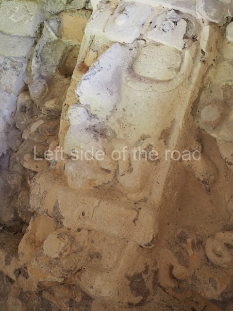
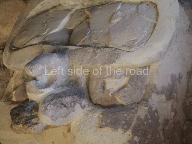
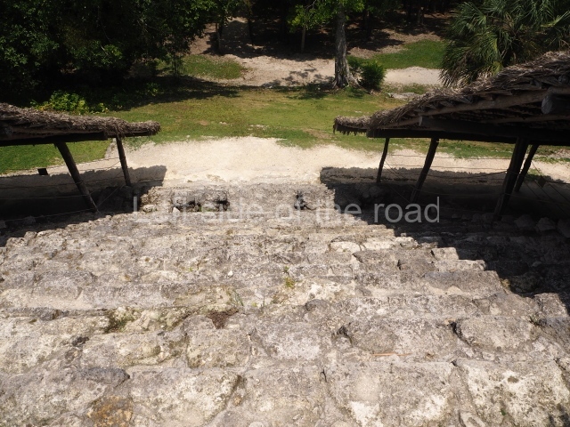
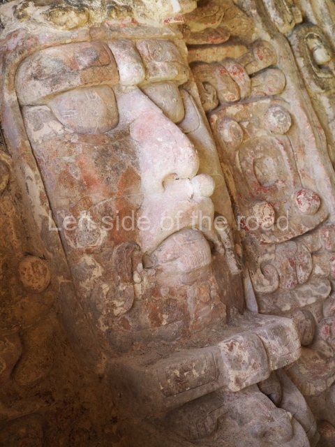
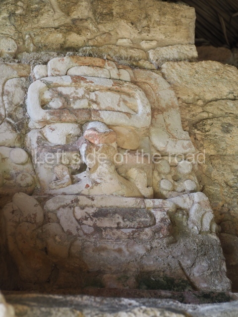
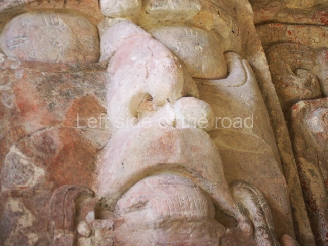
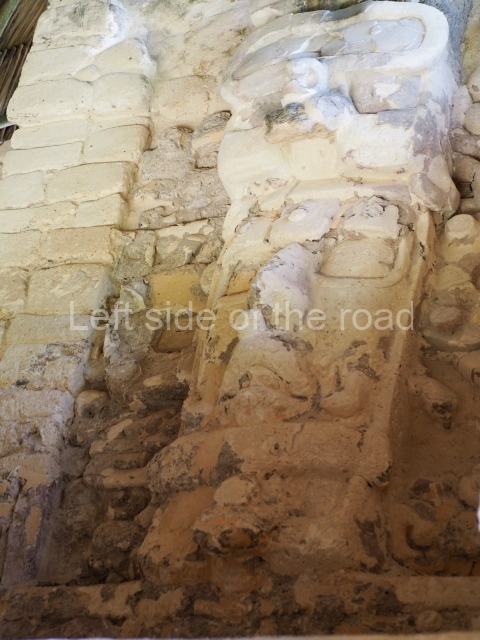
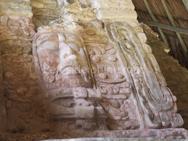
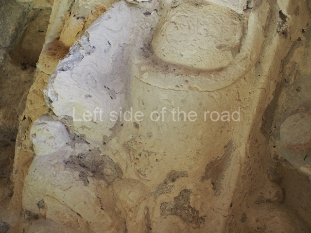
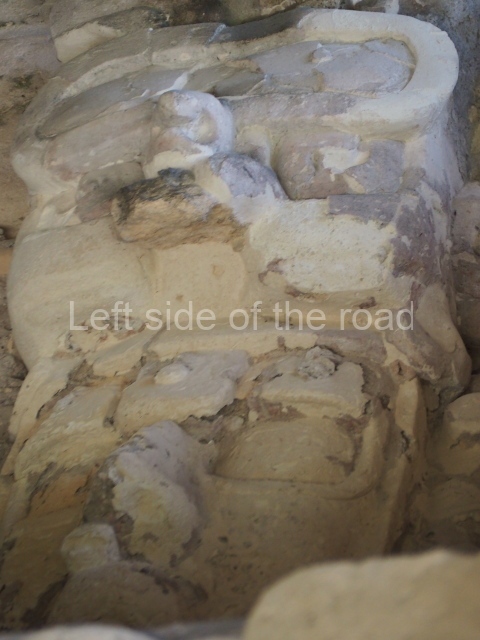
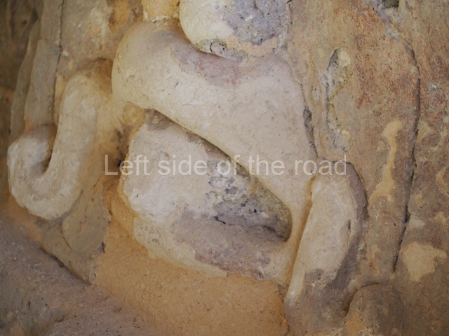
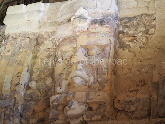
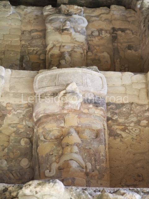
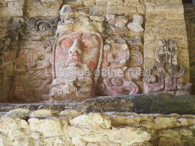
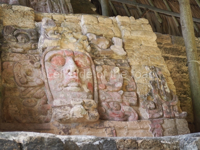
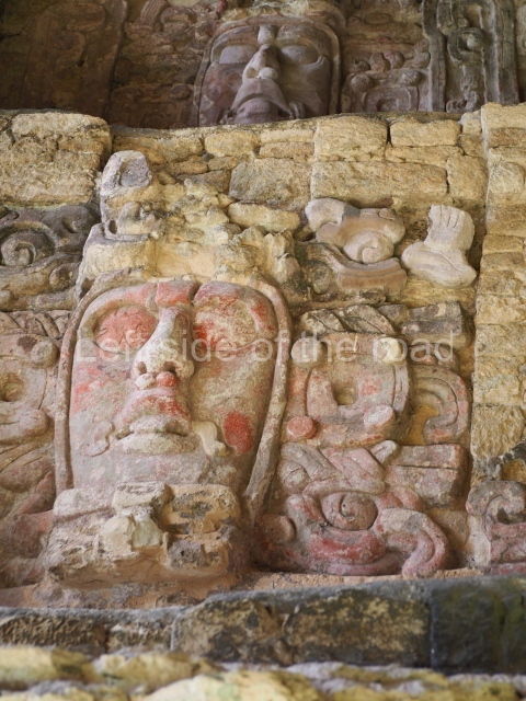
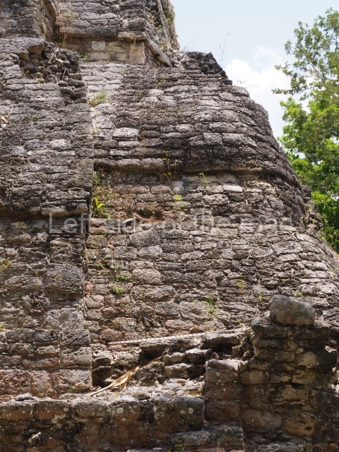
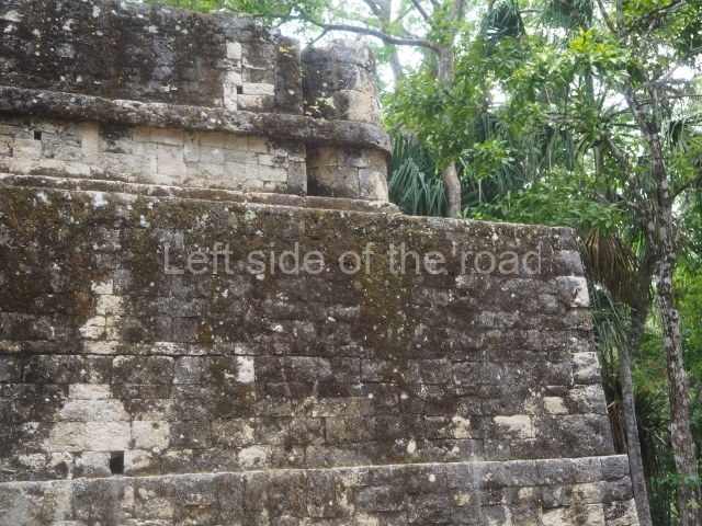
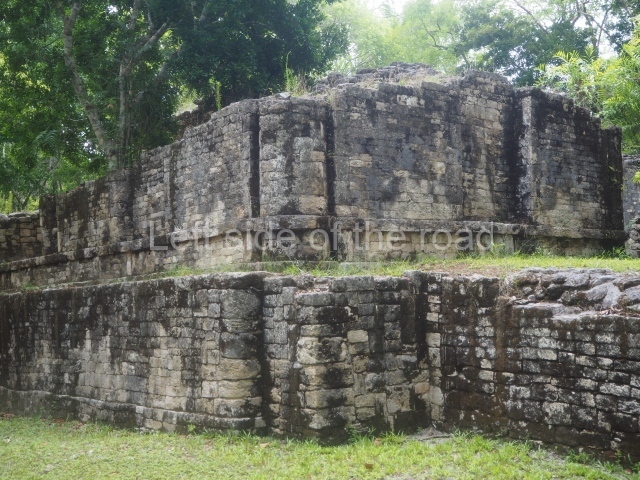
This construction in the Peten style adopts the form of a four-tier platform with a temple at the top comprising five very narrow rooms. The corners are rounded and it has a single stairway, on the west side, flanked by stucco masks. The faces symbolise the sun god at various points of its passage across the firmament. The construction is approximately 25 m long and 20 m wide, and stands nearly 11 m high, not including the guano palm roof that protects the stucco pieces. During the second half of the 20th century the masks were illustrated as symbols of Quintana Roo.

Pixaan group.

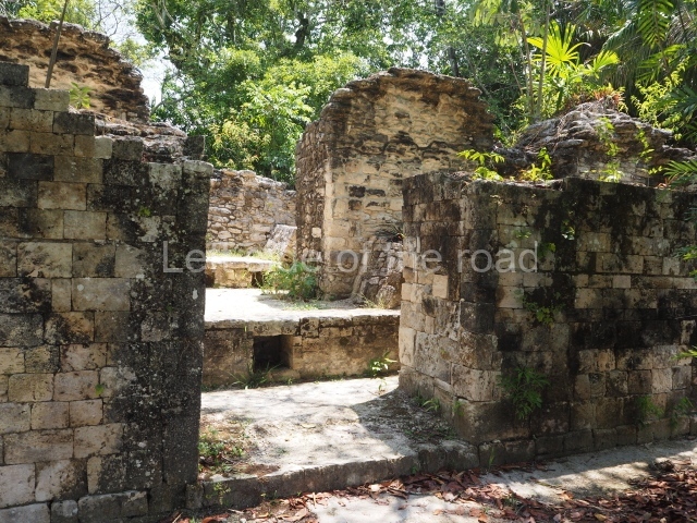
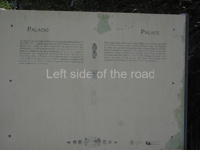
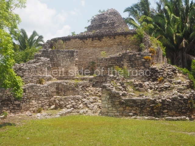
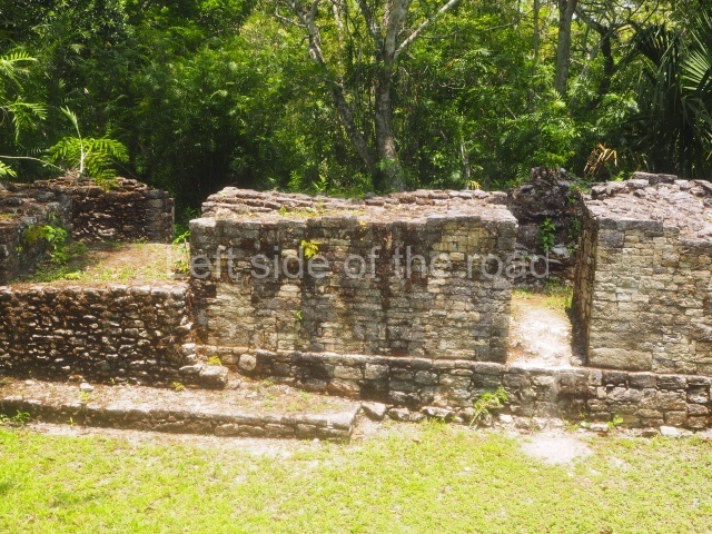
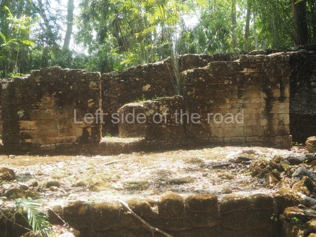
This is situated some 200 m southwest of the Pyramid of Masks on a natural mound. It comprises several constructions, the most imposing of which is the one that is located north of the group and faces south. It is accessed via a wide terrace and had four generous-sized rooms, revealing its former importance. To the west and south lie other constructions, also with several rooms but this time of smaller proportions. Most of the constructions display features typical of the Rio Bec style.

27 steps group.

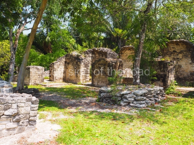
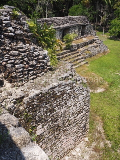
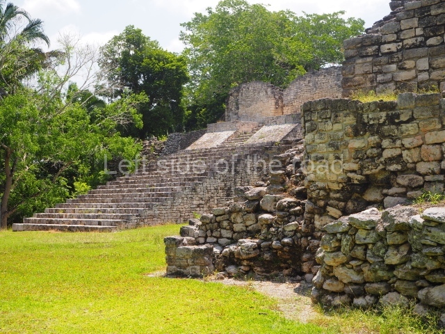
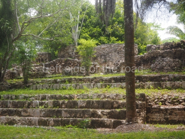
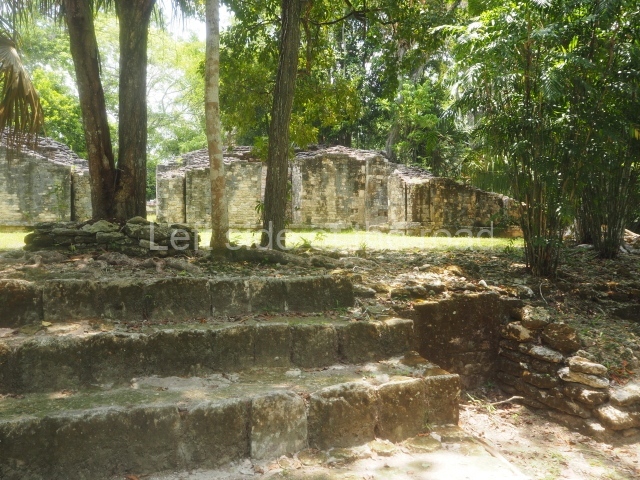
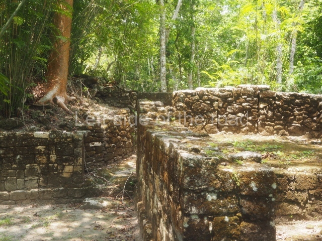
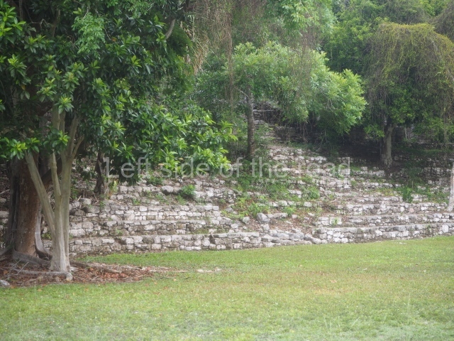
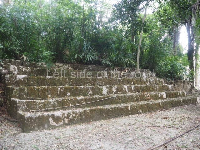
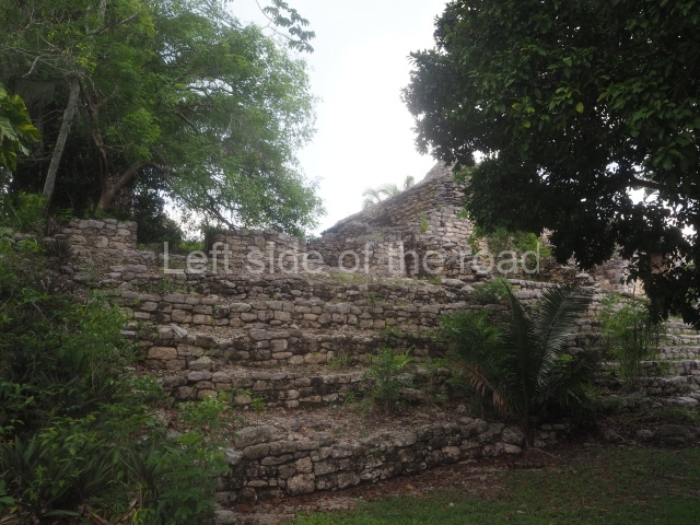
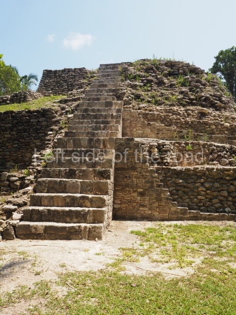
This is reached by following the path situated south-west of the Pixaan Group. It was thus called because of the various flights of steps leading to the group of buildings at the top of the hill. In this upper section there is a rectangular courtyard surrounded by several masonry buildings with rooms of a residential nature. The deliberate east-west orientation of the courtyard is plain to see, as well as the arrangement of the works on several levels in relation to the latter. Situated south-east of the main group are various other constructions also near the top of the hill.

Ball court.

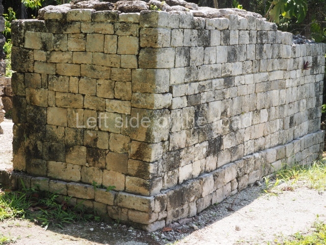
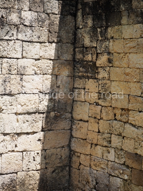
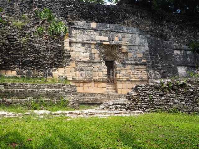
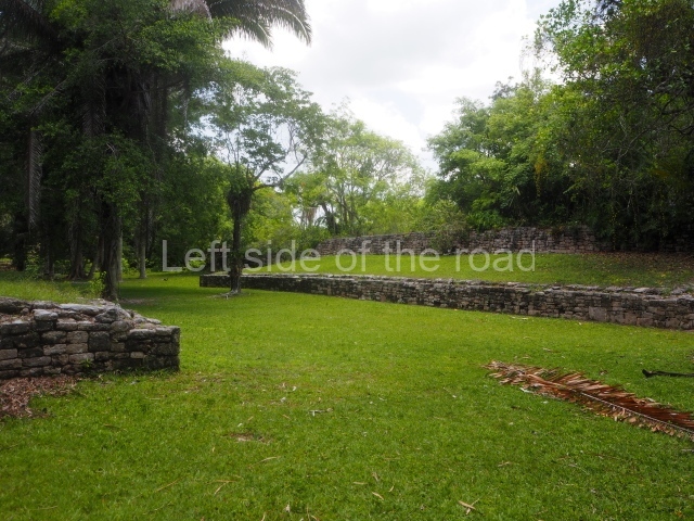
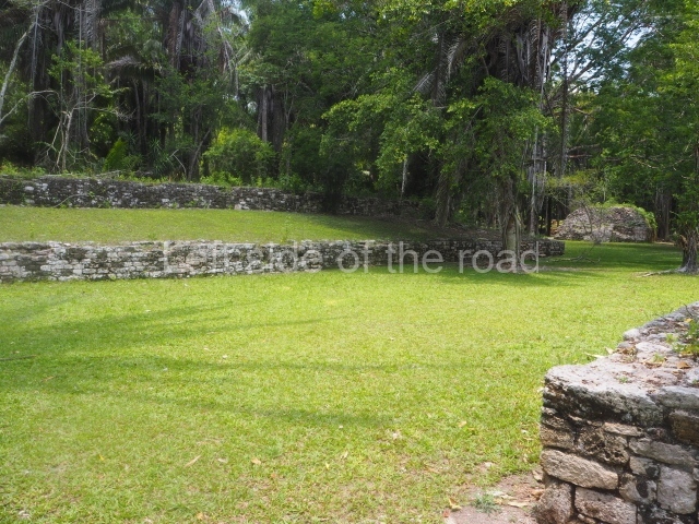
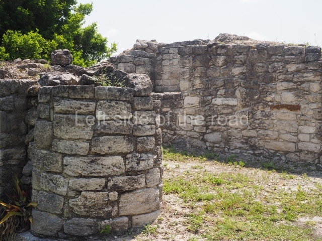
This is situated north of the Pixaan Group. Oriented east-west, the court is approximately 60 m long and just over 10 m wide. Like the majority of the constructions on the site, the walls are clad with regular-shaped limestone veneer stones. No stone ring or any other fragments have been found.

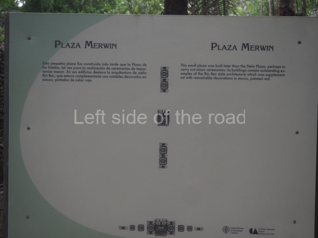
Merwin plaza.

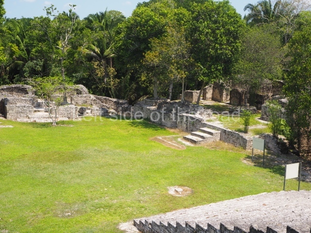
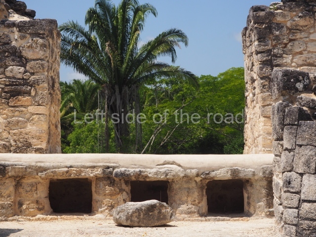
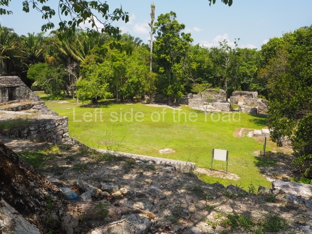
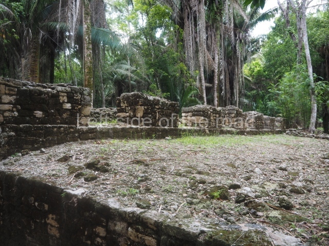
This rectangular space west of the Ball Court is surrounded by four elongated buildings. The west construction is fronted by pairs of columns, providing access to the interior, and the constructions on the north and south sides also had several entrances formed by pilasters. At the centre of the plaza lies a quadrangular platform.

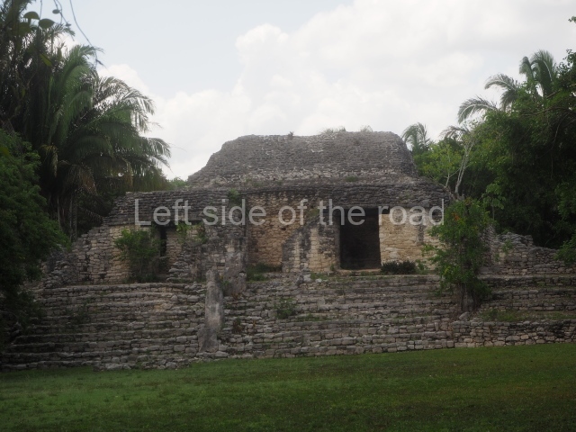
Temple of the stelae.

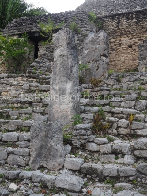
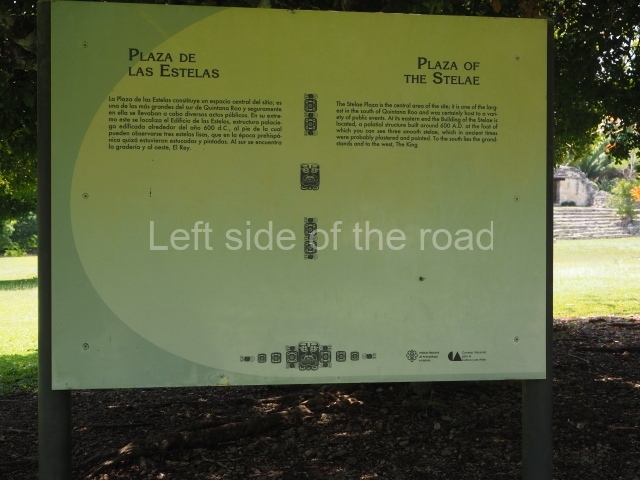
This monumental space is situated north of Merwin Plaza. It takes its name from the various monoliths that can be seen on the east stairway. Its principal axis runs north-south and it had several rooms accessed from the east and west. A masonry roof comb displays six stucco figures seated on a type of throne that adopts the form of a giant mask of the Earth Monster or Sacred Mountain. The figures may have represented rulers of Kohunlich.

Acropolis.

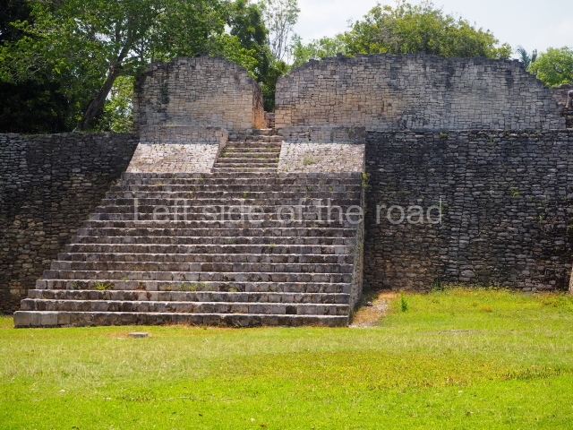
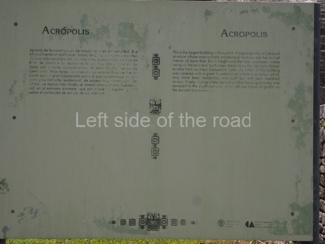
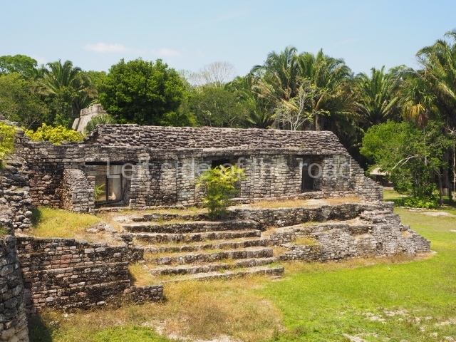
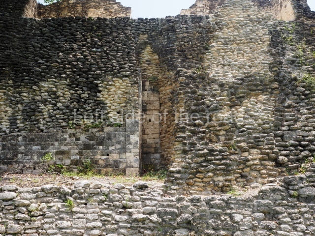
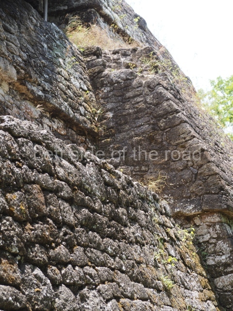
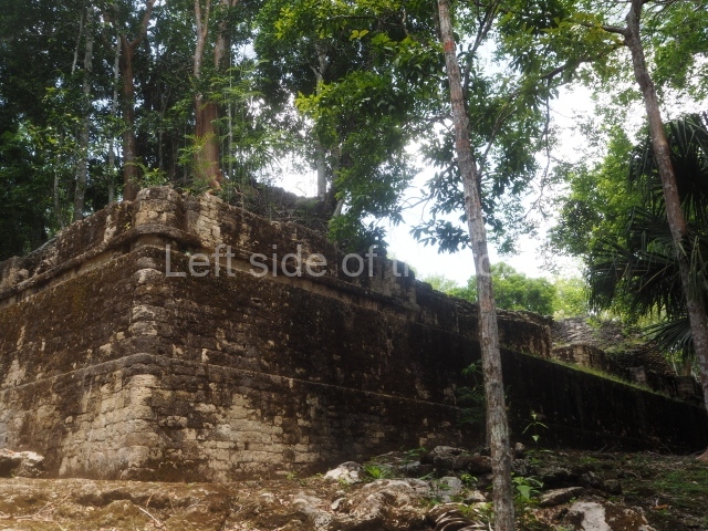
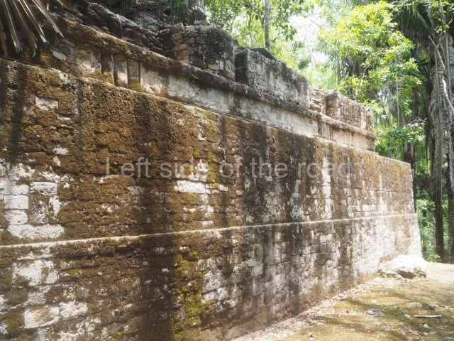
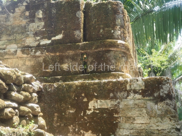
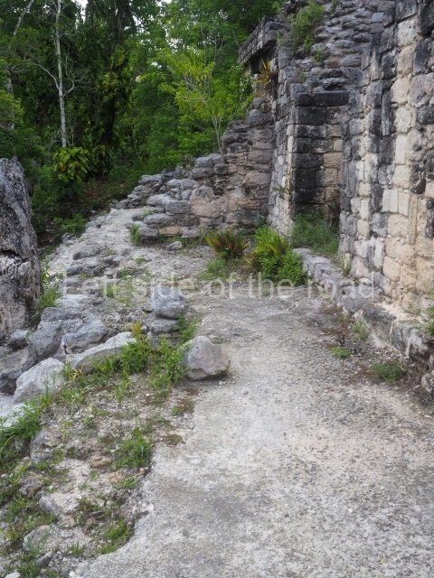
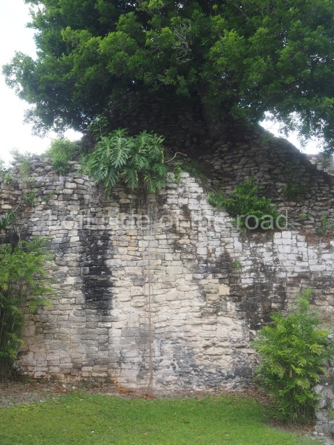
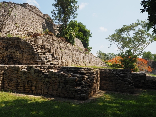
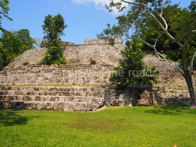
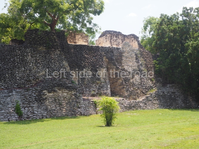
This is an irregular quadrangle (60×45 m) with a single access on the west side and an average height of 10 m, the result of several construction phases. Parts of towers with steep non-functional stairways typical of Rio Bec architecture have been recorded on the east and south sides. These were added in ancient times as fillings for the Acropolis. In the upper section is a large courtyard with several rooms on the south and west sides. The constructions in the south-west section seem to have been the latest additions, around AD 1000.

Road group.

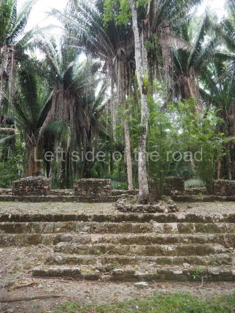
Just west of Merwin Plaza are several platforms that have not yet been excavated, ranging in height from one to two metres. Together, they form three parallel roads or long corridors approximately 100 m in length. They are not unlike the ‘avenues or roads’ reported at Chacchoben, north of Bacalar, or those recorded at Chichmuul, 40 km further north.

North-west group.

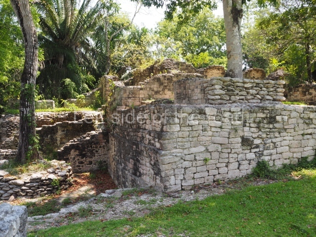
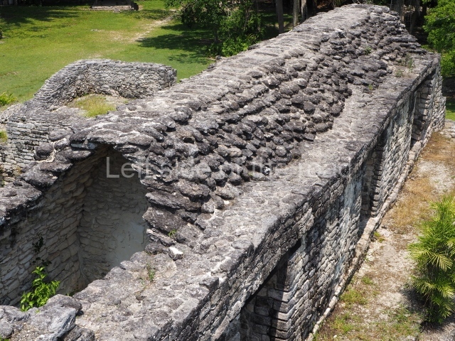
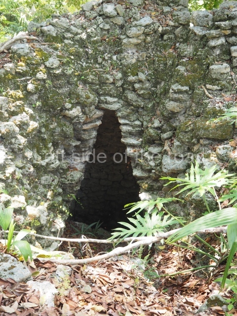
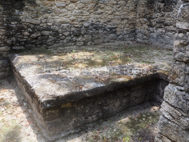
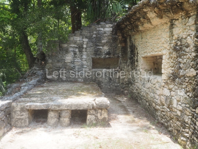
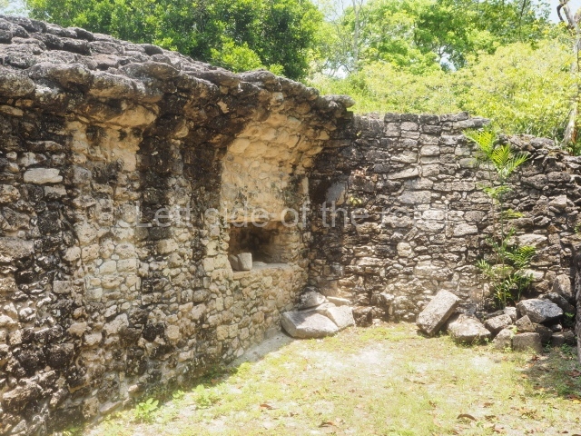
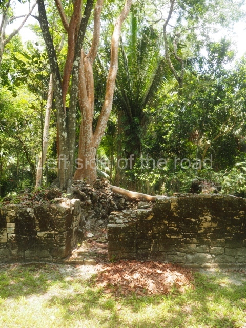
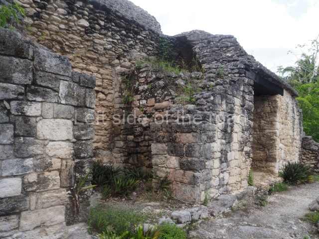
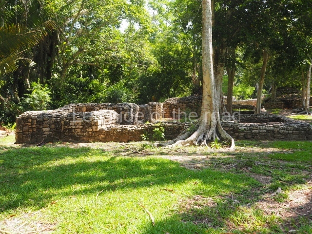
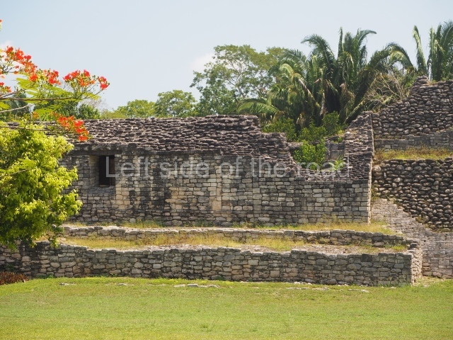
This is situated west of the Acropolis and represents another set of rooms formerly covered by corbel vaults. Some of them have benches and many display various modifications. The majority were used for residential purposes.

Yaxna plaza.

This monumental space with its platforms and pyramids is situated some 600 m north-west of the previous group. Only a few of the buildings have been excavated. These comprise both residential and worship functions, dedicated to the memory of high-ranking officials. The ceramic materials of the offerings that have been found are from the Early Classic (AD 250-550).

Importance and relations

Kohunlich boasts major examples of Peten architecture as well as constructions that bear witness to the emergence of the Rio Bec style and its gradual transformation. It is therefore a key point for beginning to gain an understanding of the bygone societies south of the site, which were closely linked to those of northern Belize and south-eastern Campeche. Meanwhile, the analysis of the various types of housing and grave goods belonging to the different social classes will undoubtedly shed light on the composition and political integration of Kohunlich down through the ages.

From: ‘The Maya: an architectural and landscape guide’, produced jointly by the Junta de Andulacia and the Universidad Autonoma de Mexico, 2010, pp346-347

How to get there:

From Chetumal. From the combi station behind the Museum of Mayan Culture take the Nicolas Bravos bound combi and get off at Francisco Villa – about an hour. M$60. The turn off to the site is to the left of the direction of travel. Try and hitch or encourage someone to give you a lift on the back of their motorbike. Pay between M$50 and M$100.

Once at the site ask if anyone can give you a life to the junction. That seems to be a M$50 standard.

GPS:

18d 25’ 09” N

88d 47’ 28” W

Entrance:

M$90

More on the Maya

Please follow and like us:

Leave a Reply

Your email address will not be published. Required fields are marked *

This site uses Akismet to reduce spam. Learn how your comment data is processed.