Chicanna – Campeche
Location
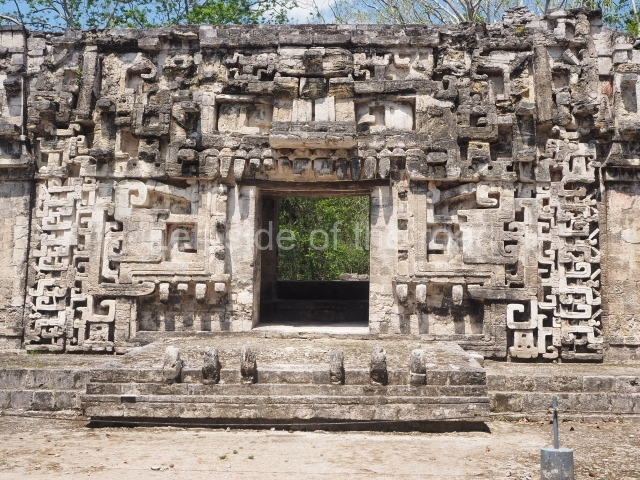
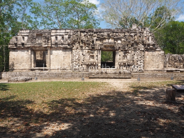
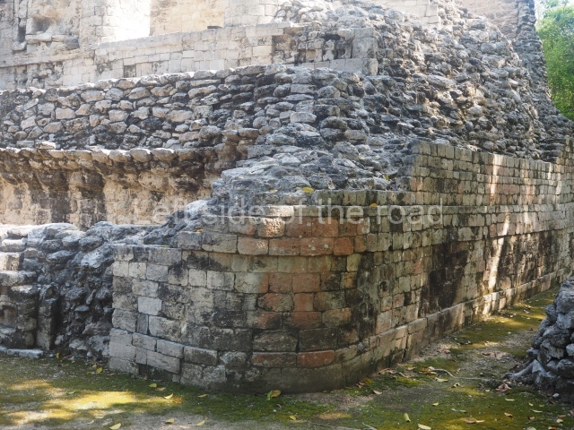
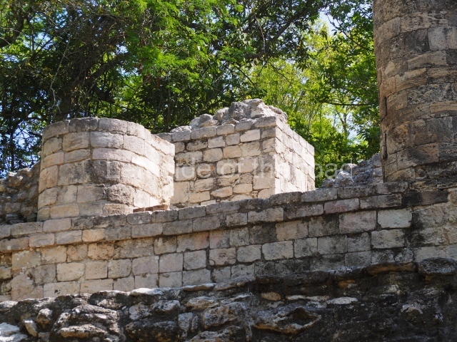
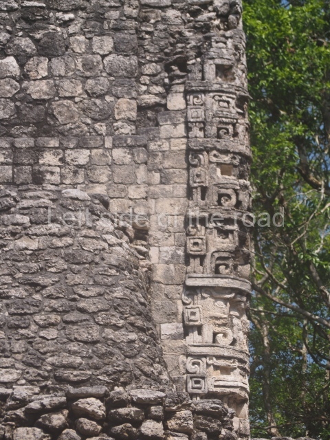
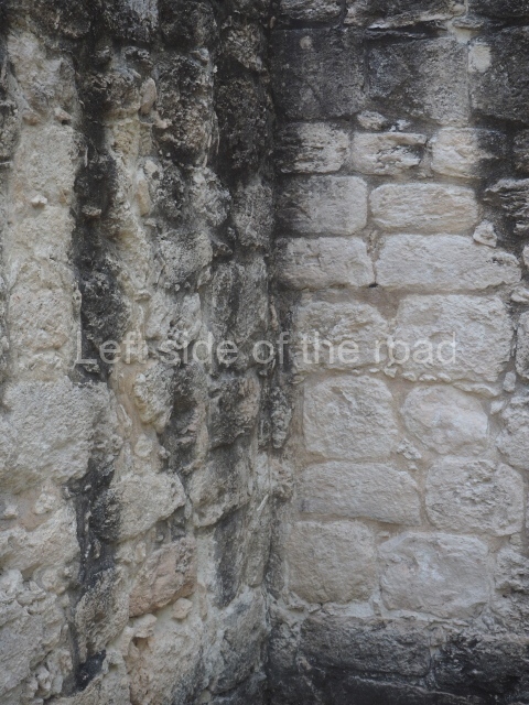
This is situated 127 km east of Escarcega, 133 km west of Chetumal, and just 3 km south-west of Becan, a very short distance according to the standards of ancient times. The inhabitants of these nearby sites must have maintained close contact. In fact, the remains of the pre-Hispanic settlement found outside the Becan moat spread out in several directions, forming a continuous urban fabric which included Chicanna. This site contains the same monumental construction tradition that characterises the region in general: Rio Bec-style buildings, which often contain structures with numerous chambers and high towers at the ends, facades with giant zoomorphic masks, rounded corners and claddings of carefully cut veneer stones. The name of the site was invented in the mid-20th century based on the translation of the Maya words for ‘in the mouth of the serpent house’: chi, shore, mouth; can, serpent; na, house. This explains why the word has a double ‘n’. The name is a reference to Structure II.
Timeline, site description and monuments
The earliest occupation dates from the 1st century AD (sub-structure of Structure I). The settlement continued to expand throughout the Early Classic (AD 250-600) and reached its peak in the Late Classic, between 600 and 900, when most the constructions we see today were built. Subsequently, it gradually lost its political influence and entered a decline, and was finally abandoned around the 12th century.
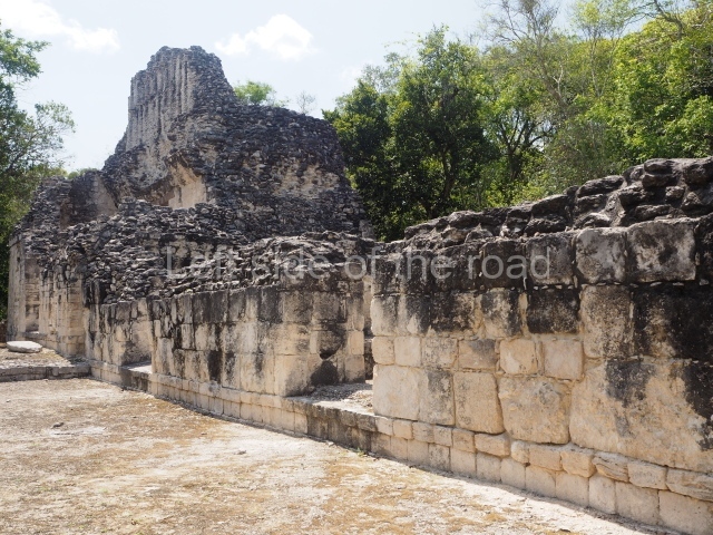
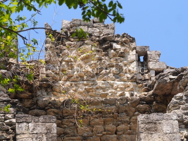
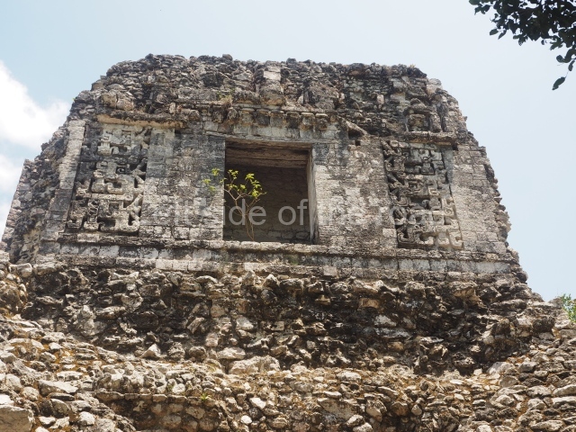
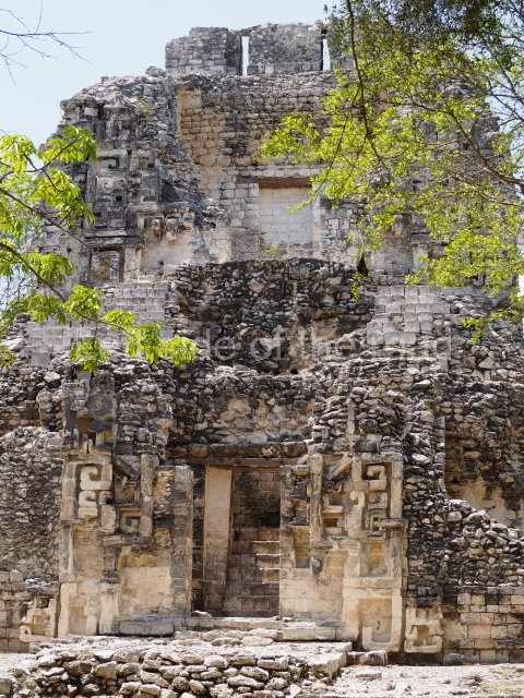
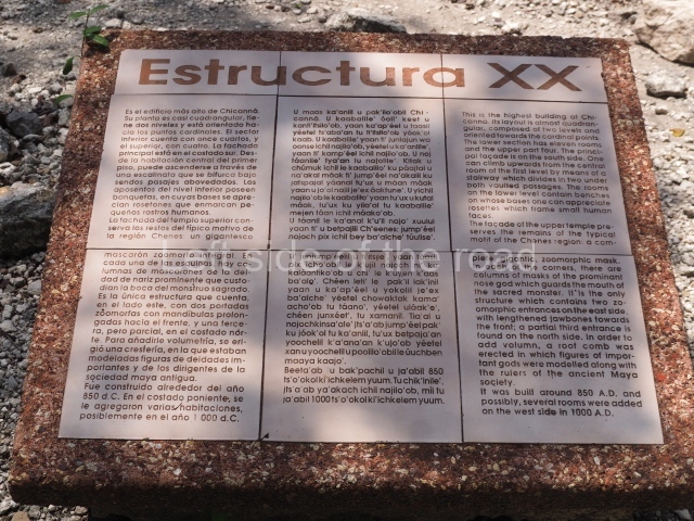
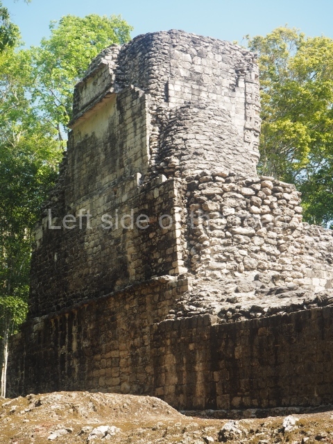
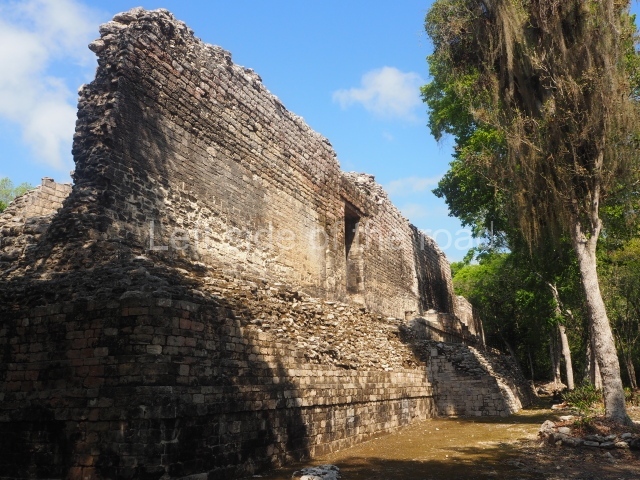
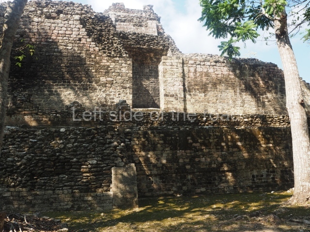
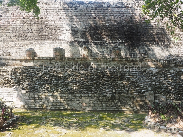
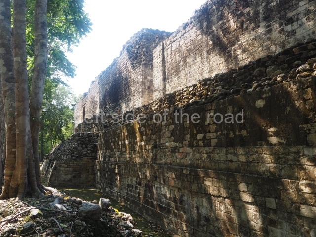
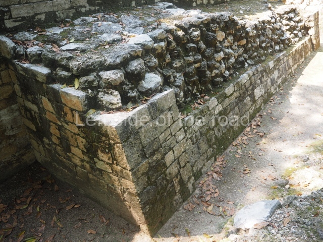
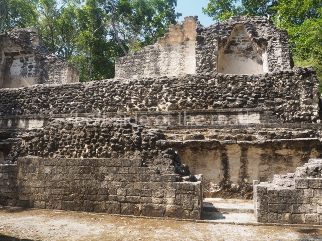
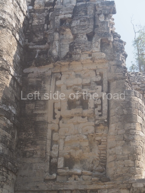
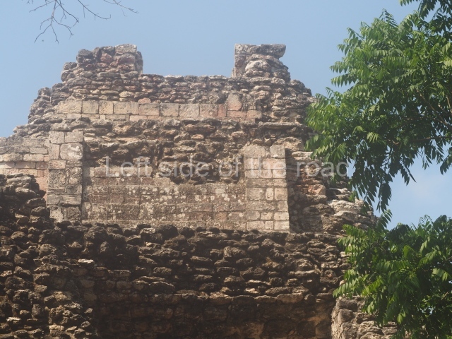
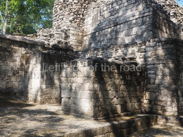
Structure XX.
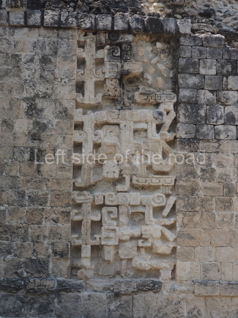
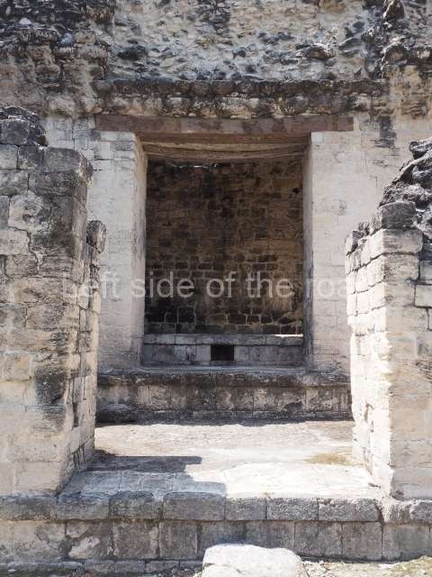
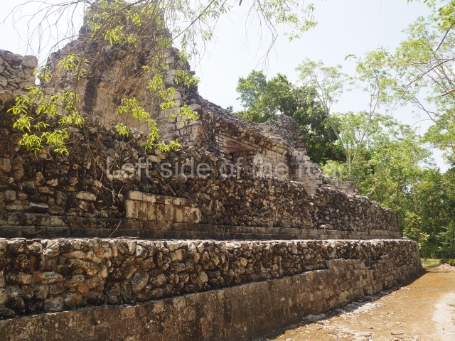
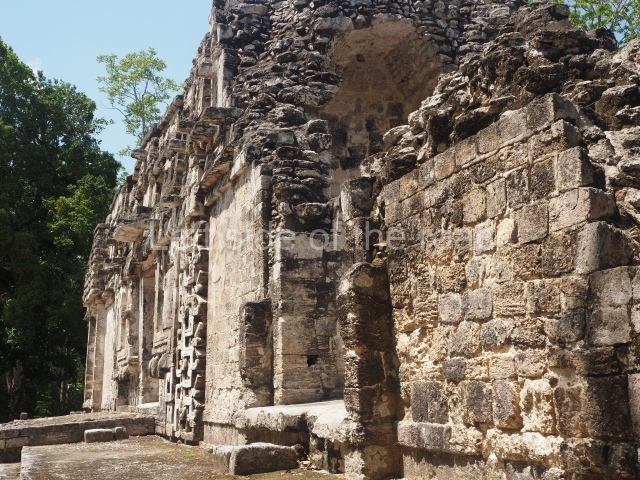
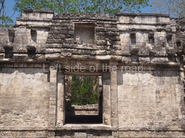
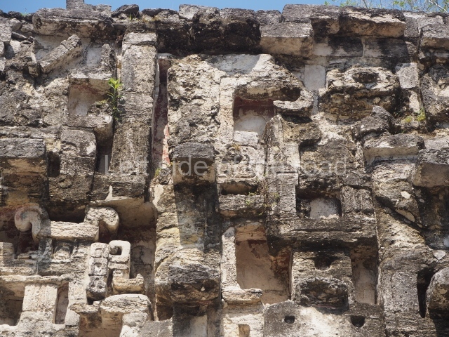
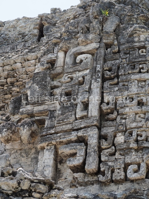
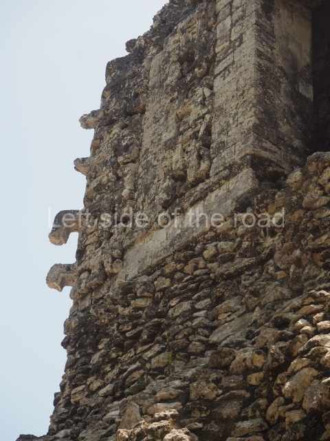
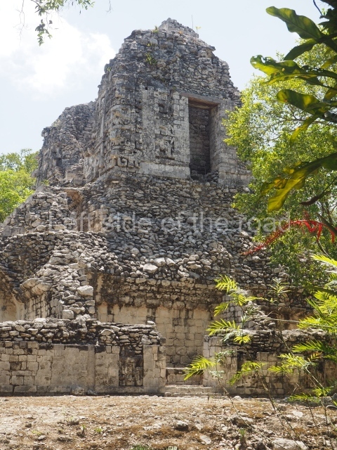
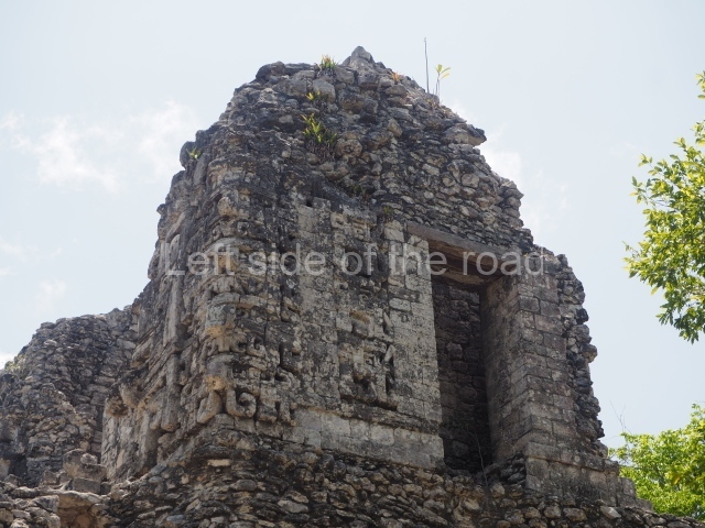
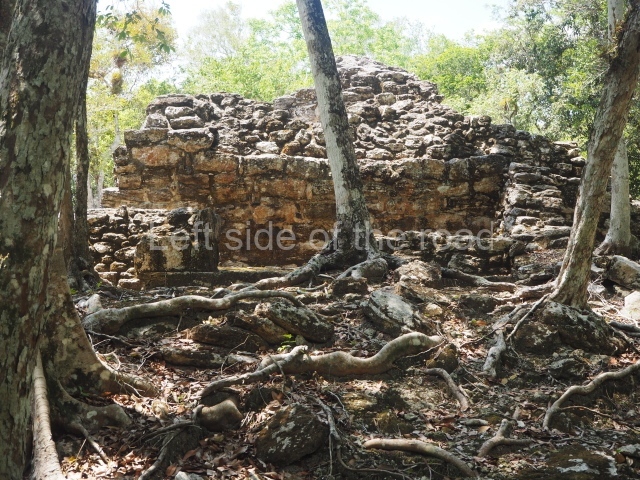
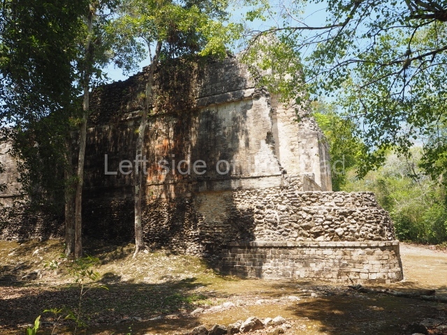
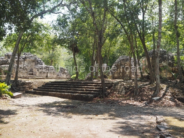
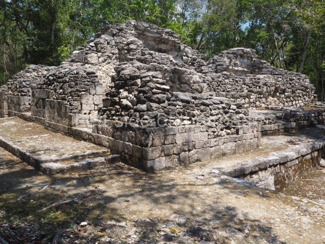
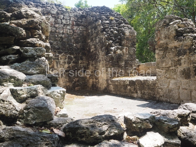
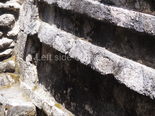
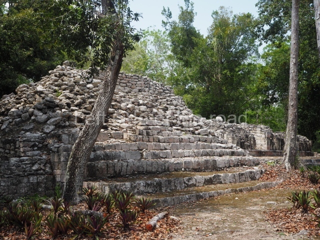
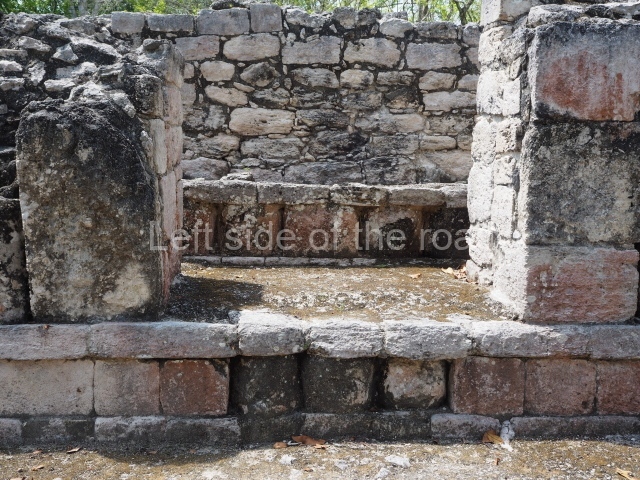
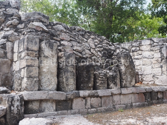
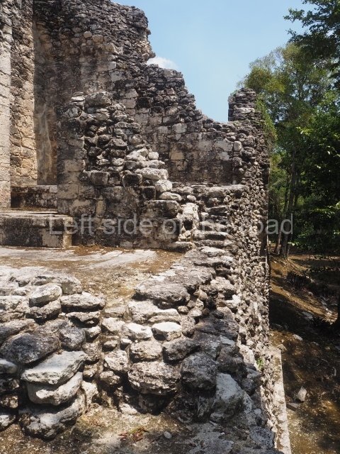
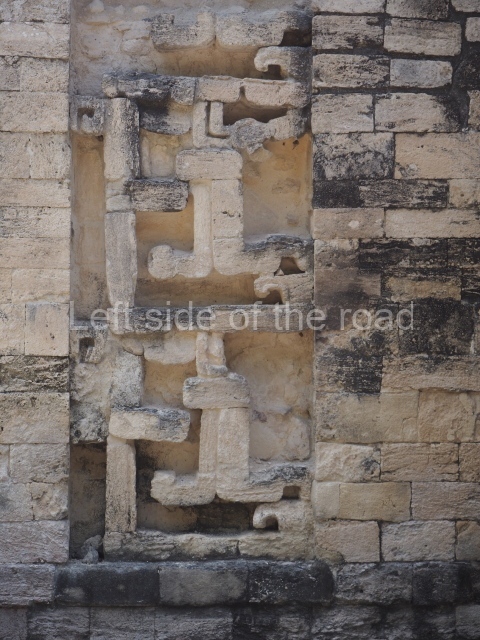
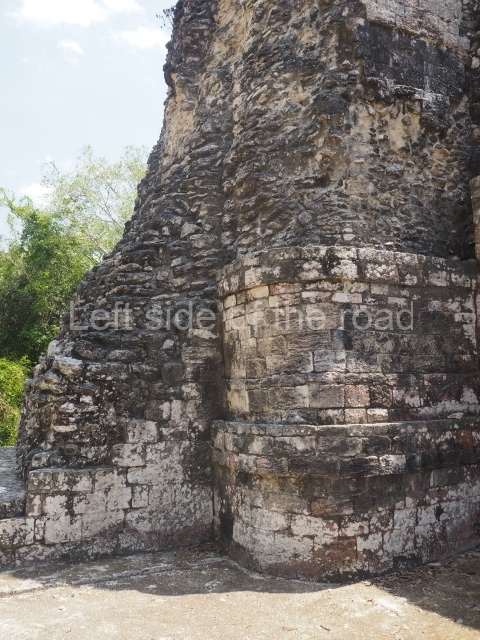
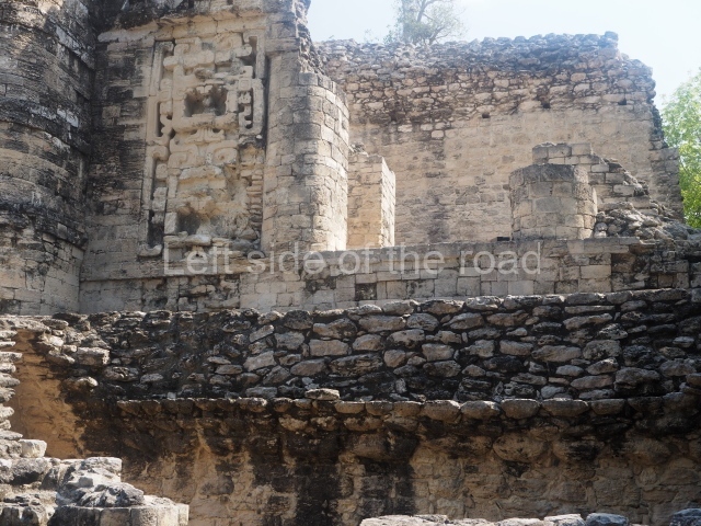
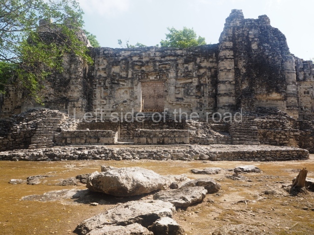
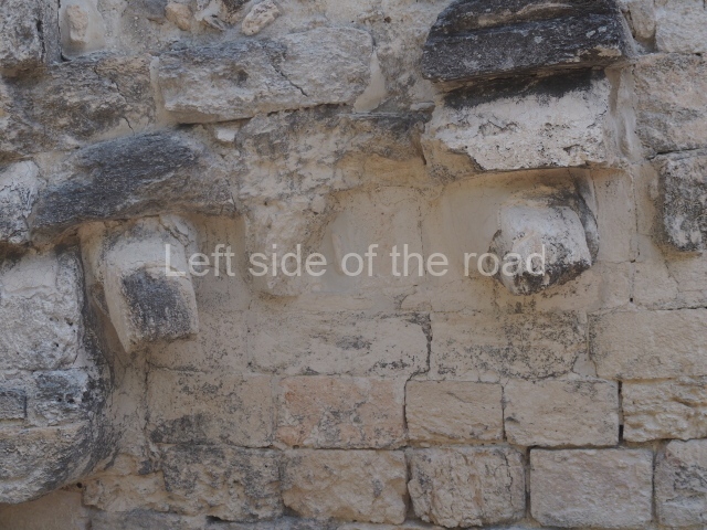
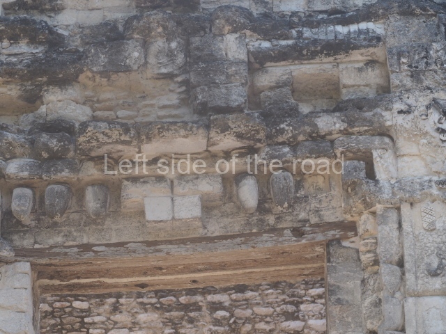
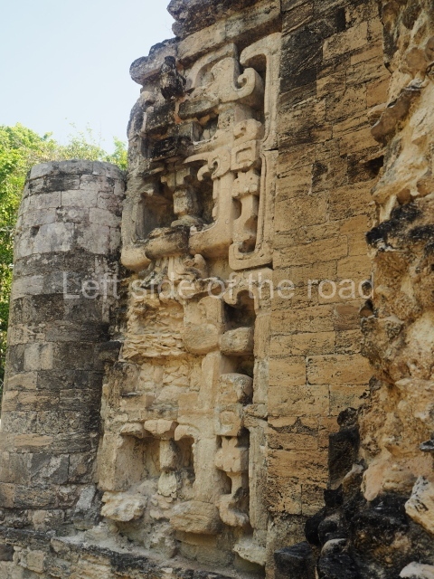
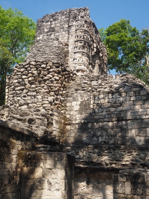
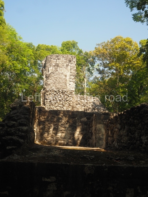
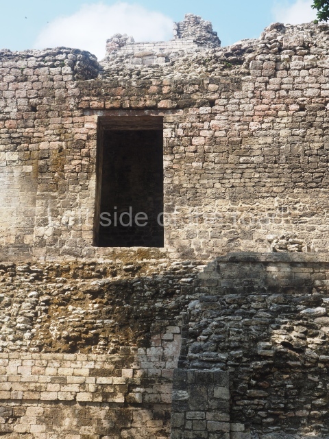
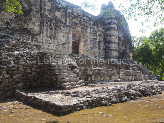
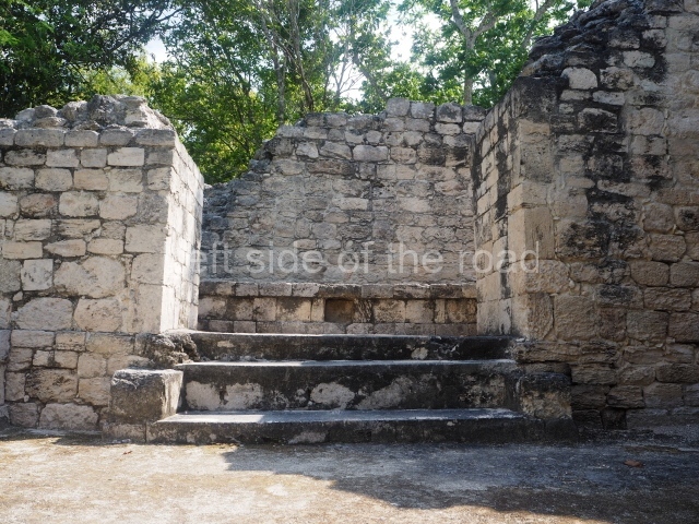
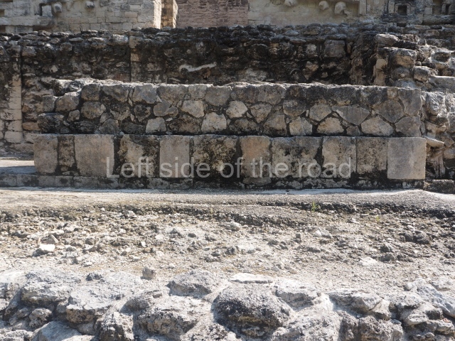
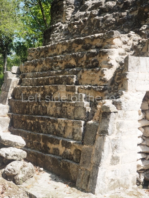
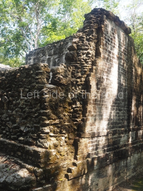
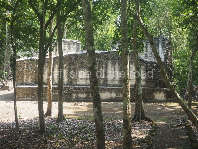
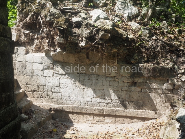
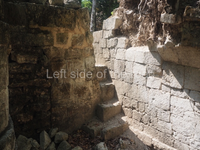
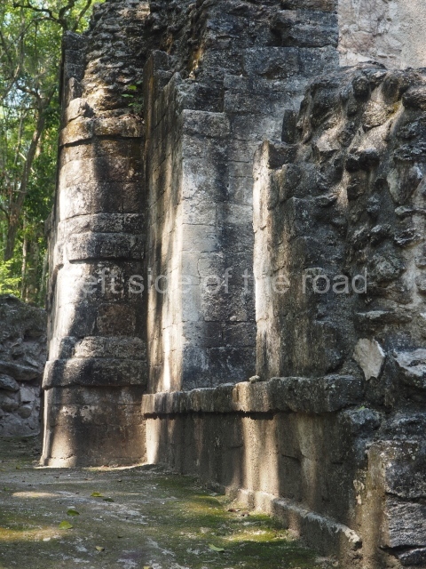
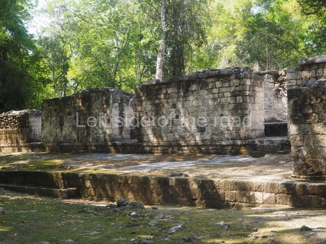
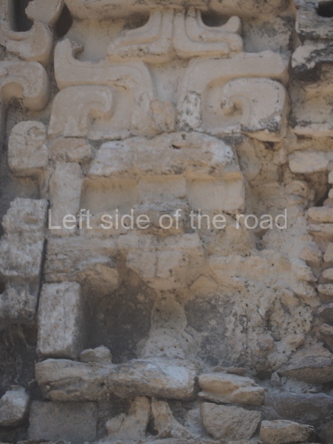
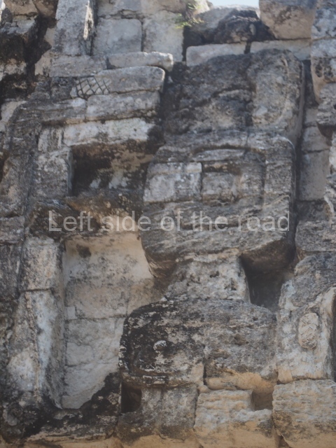
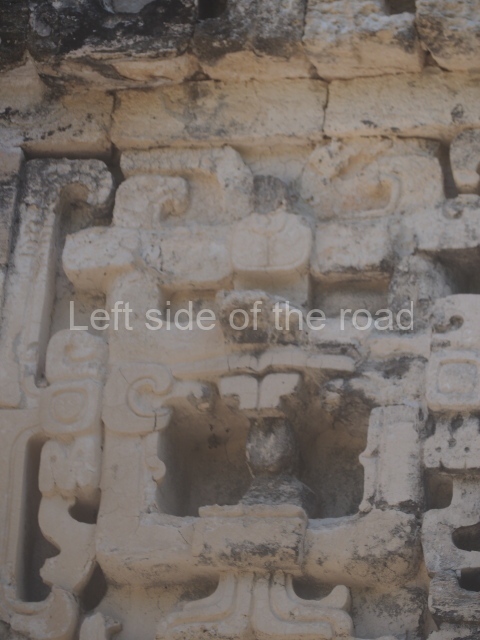
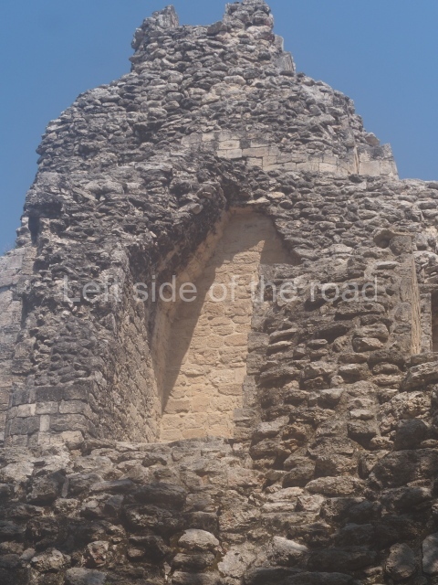
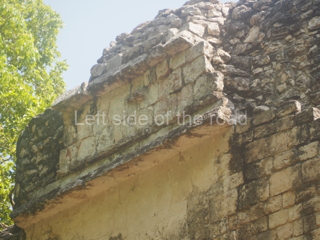
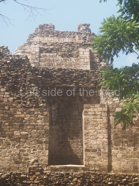
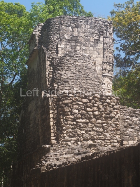
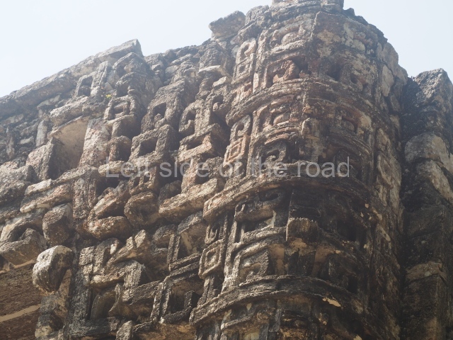
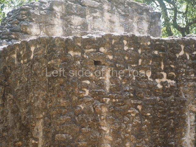
Chicanna boasts several monumental groups. The first group we come across is distinguished by this two-storey construction, which had an imposing zoomorphic main facade, part of which can still be seen today (south side of the building). It occupies a quadrangular surface, practically 18 m per side, whose dimensions must clearly be associated with something of great symbolic value for the construction of the work. Eleven rooms cover the entire perimeter of this first tier, while another four rooms can be found on the second tier. This is accessed from the main facade, which has two interior staircases at the rear. With the exception of the room on the central north facade, all the rooms on this first tier had large benches that covered nearly all the interior space. Most of these benches had stucco rosettes or medallions, with anthropomorphic faces at the centre and flower-like motifs around them. The structure has been carbon dated to around AD 800. Soon after that, it gained several constructions on the west side, which have not yet been fully explored.
Structures X to XIII.
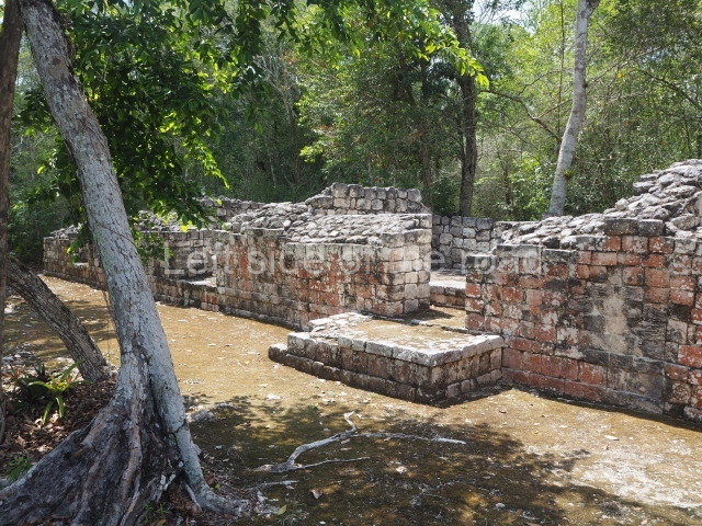
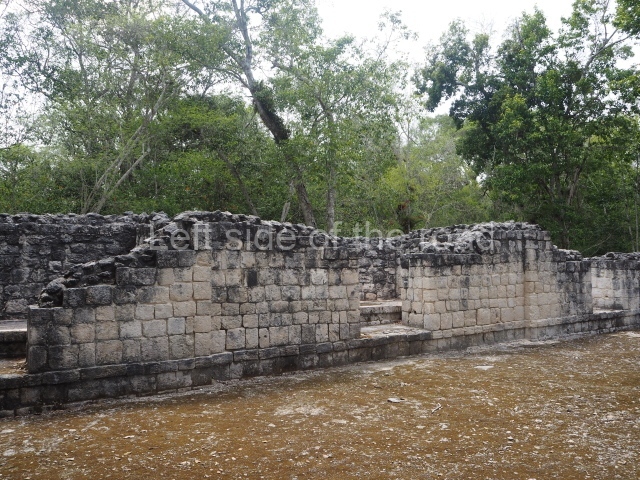
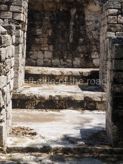
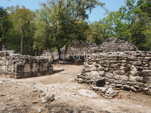
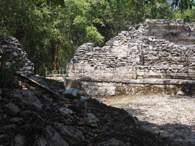
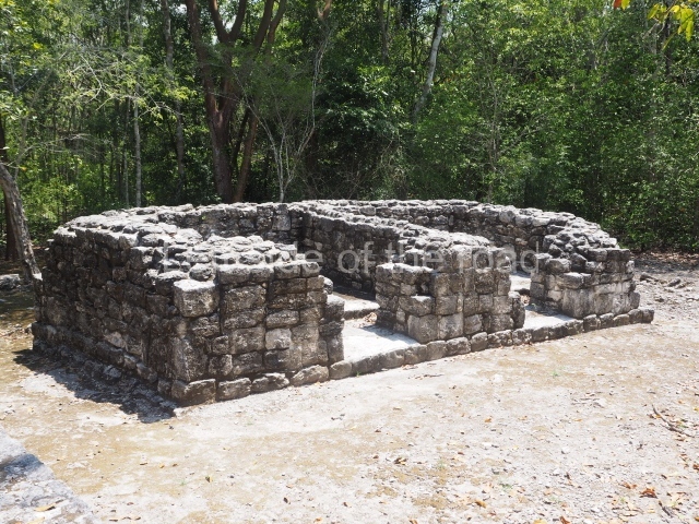
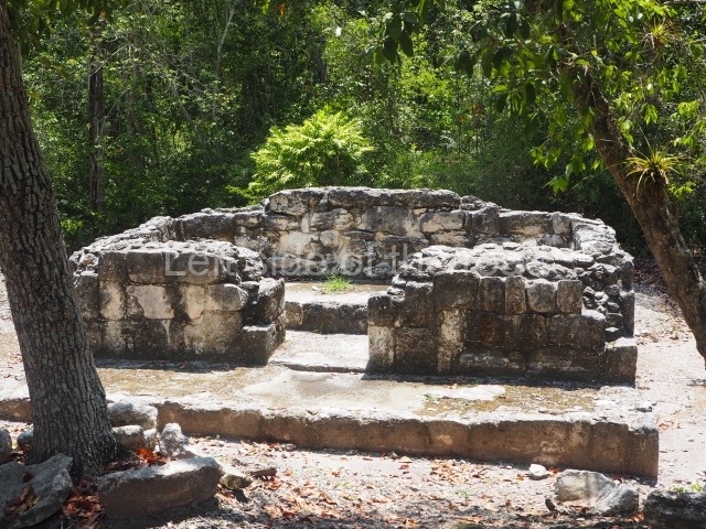
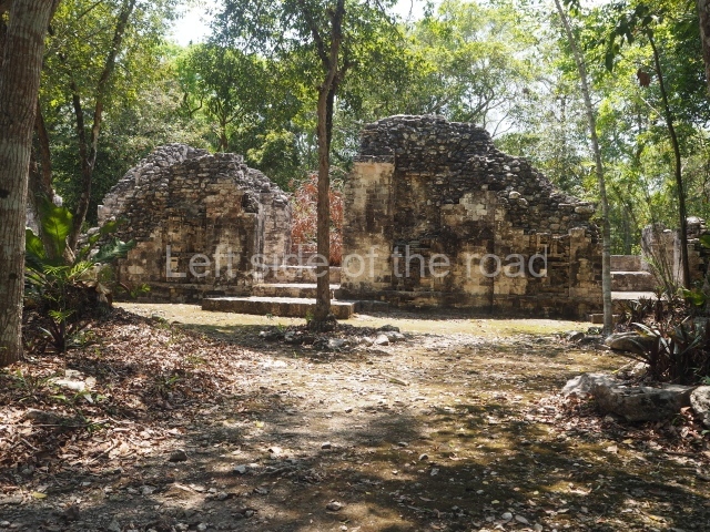
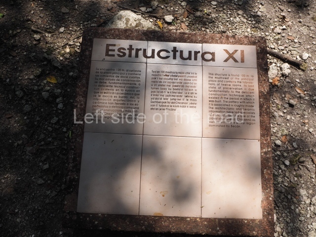
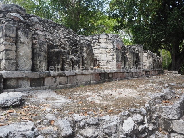
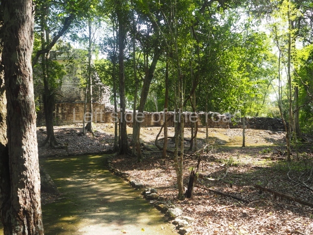
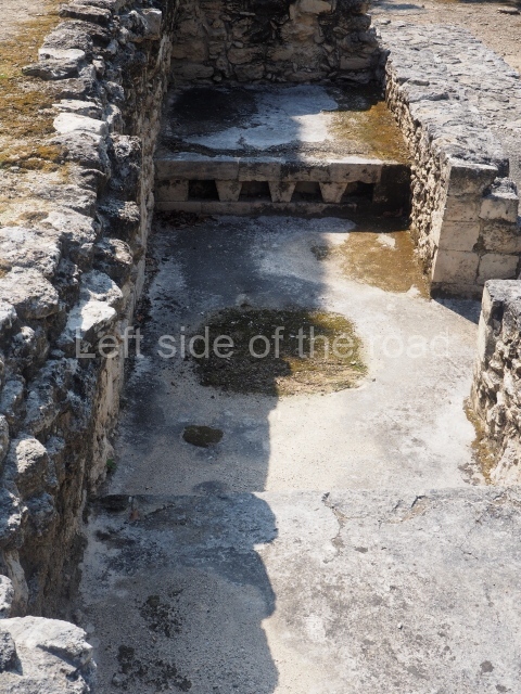
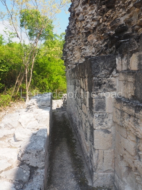
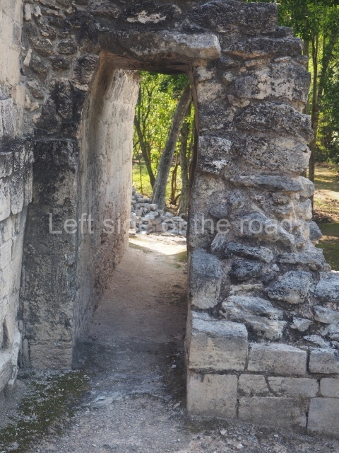
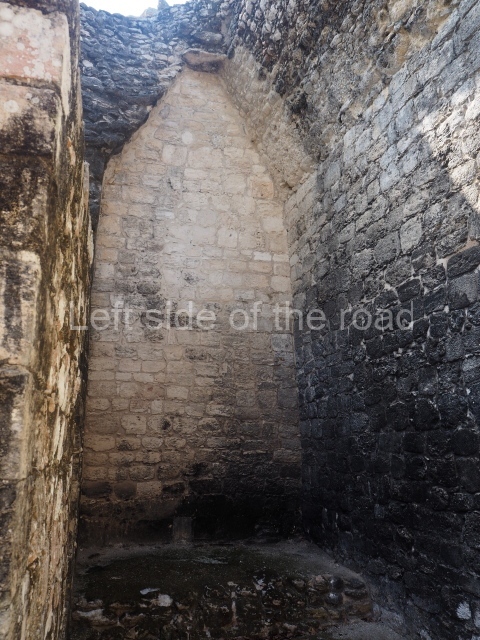
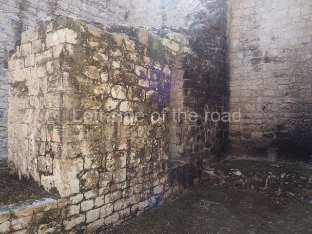
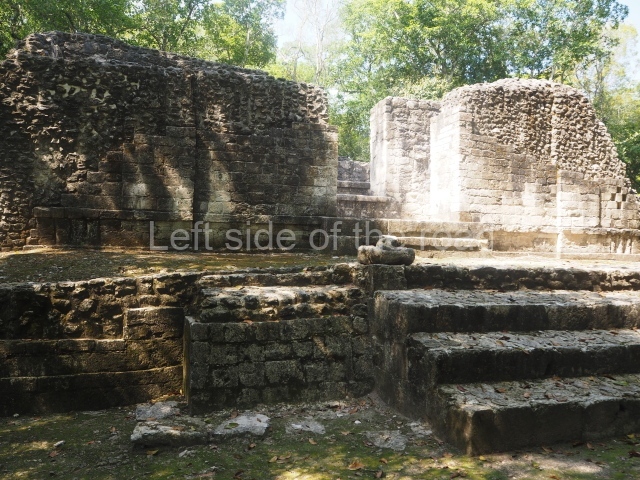
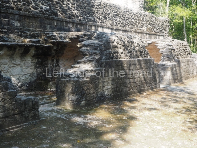
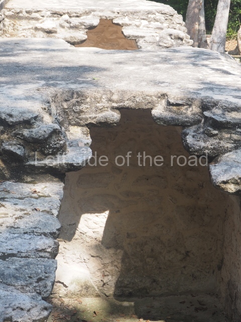
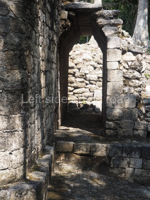
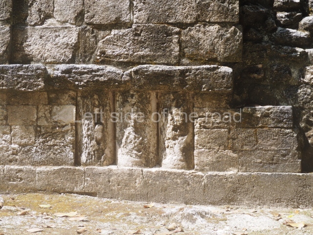
A 300-m walkway south-west of Structure XX leads to an architectural complex with two shared courtyards. Following partial excavations, it is possible to see several vaulted rooms used as residences for high-ranking officials. Most of the rooms in the residential buildings at Chicanna have benches for resting or sleeping purposes. Thanks to their dimensions, building materials and orientation, the dwellings were cool in the hot season and yet warm and comfortable in the cold and rainy seasons.
Central group.
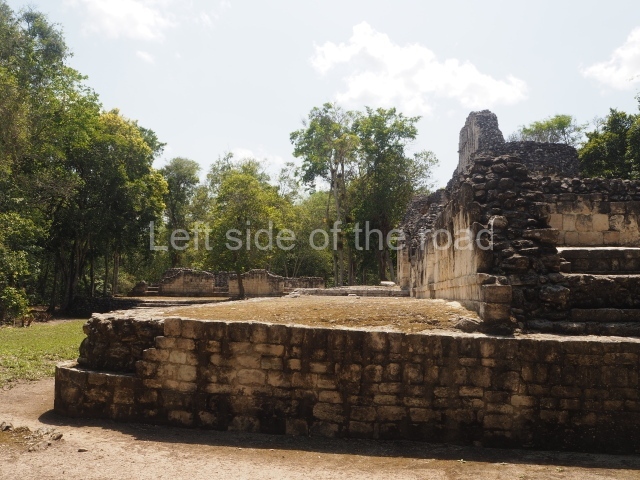
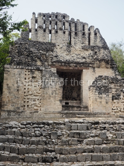
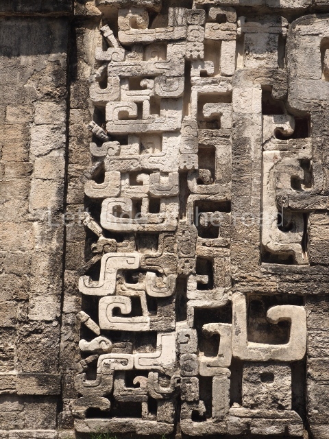
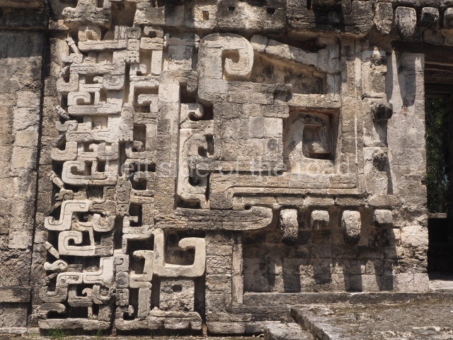
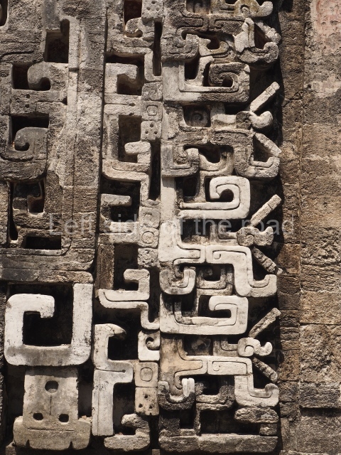
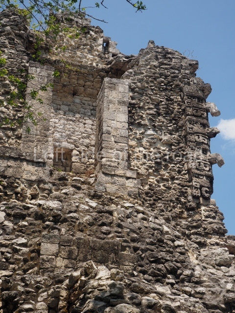
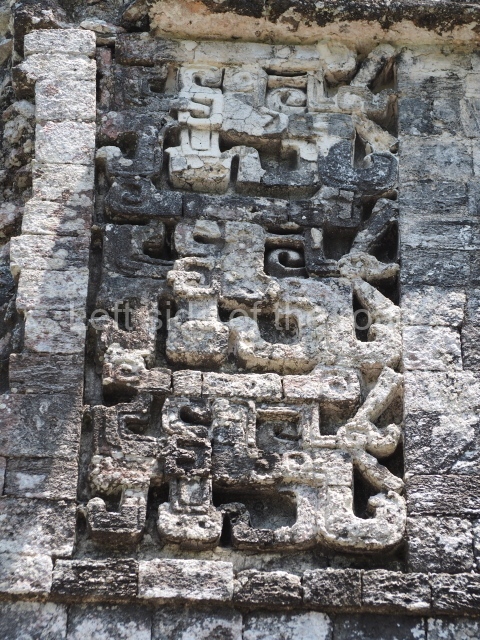
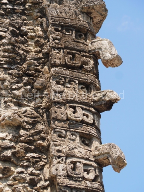
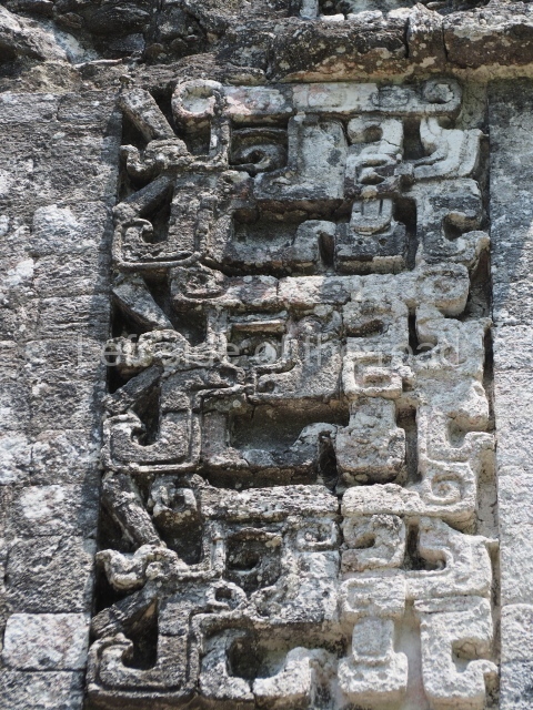
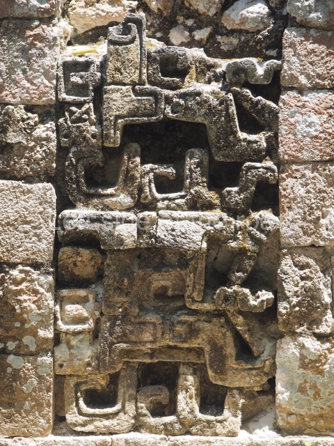
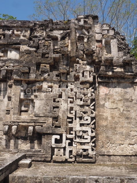
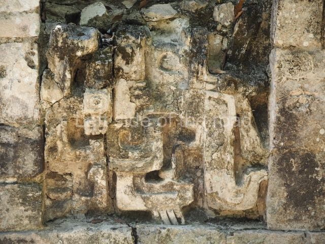
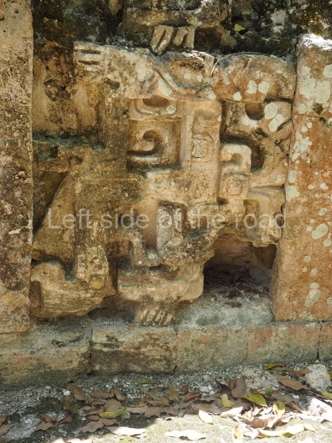
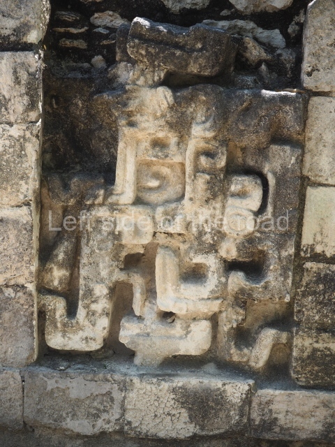
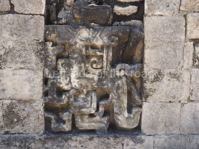
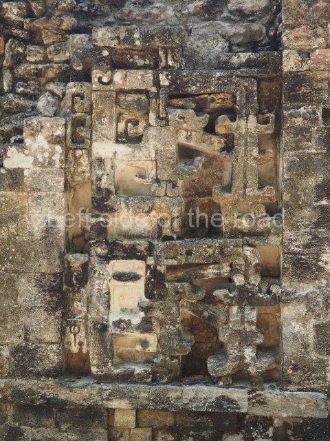
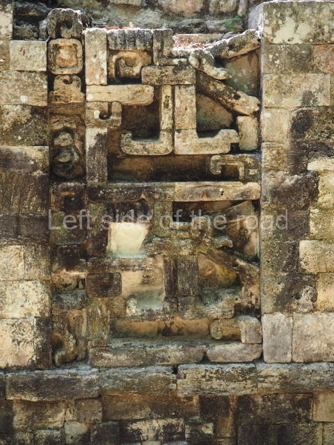
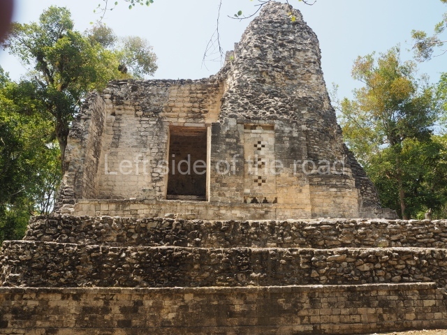
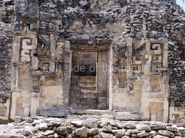
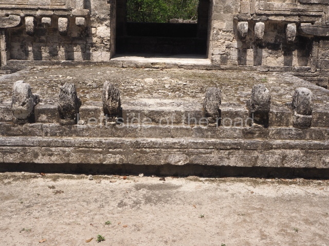
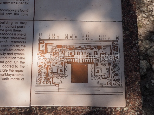
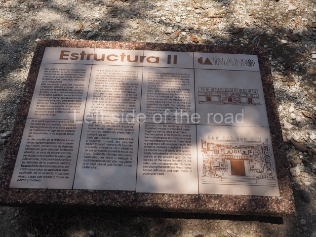
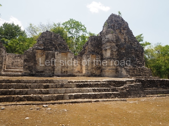
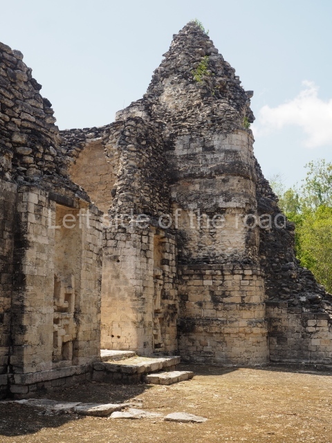
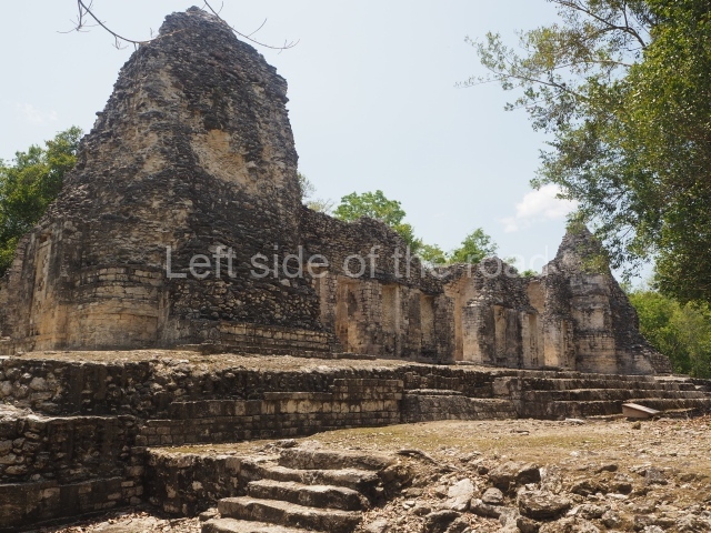
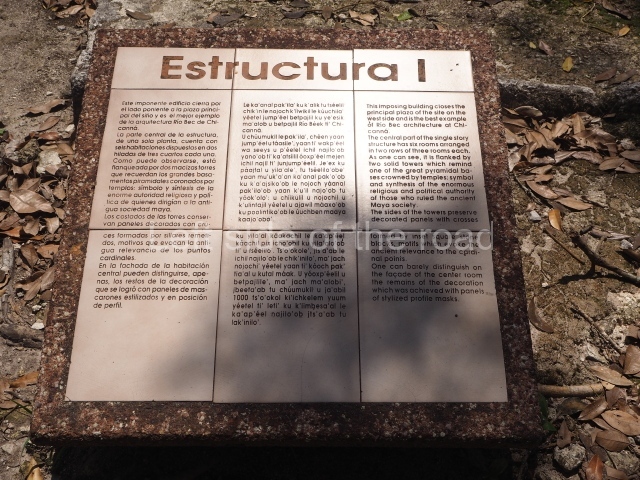
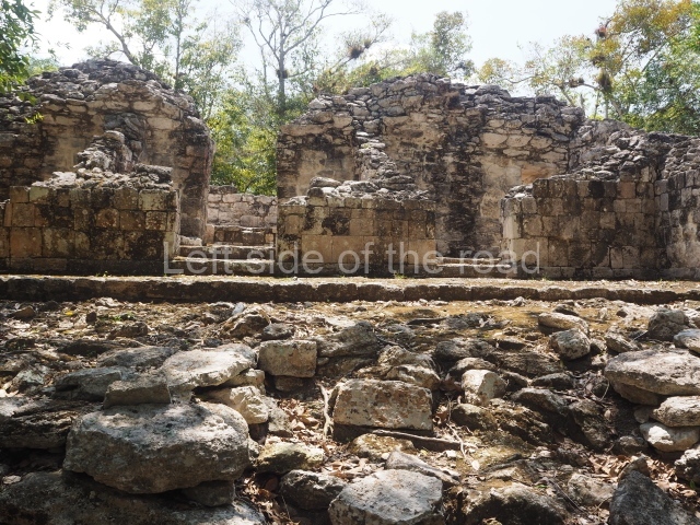
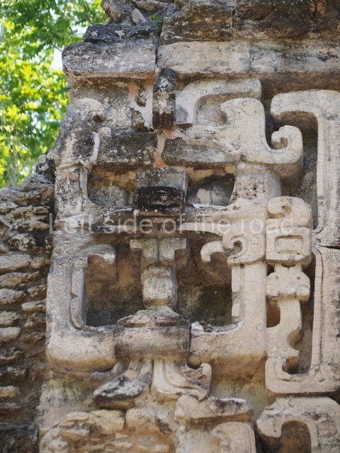
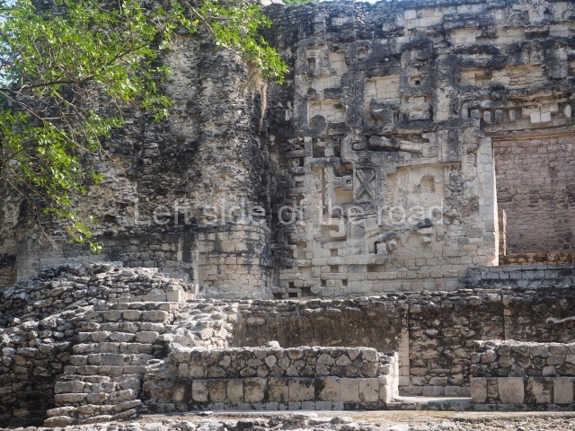
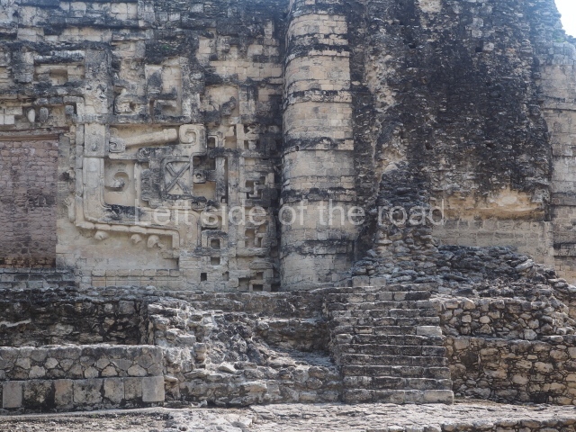
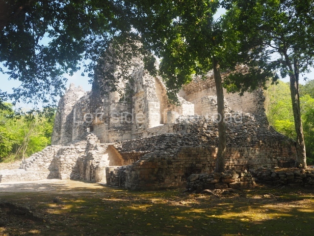
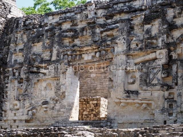
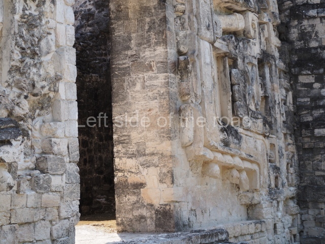
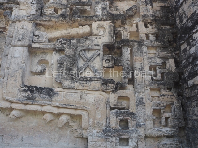
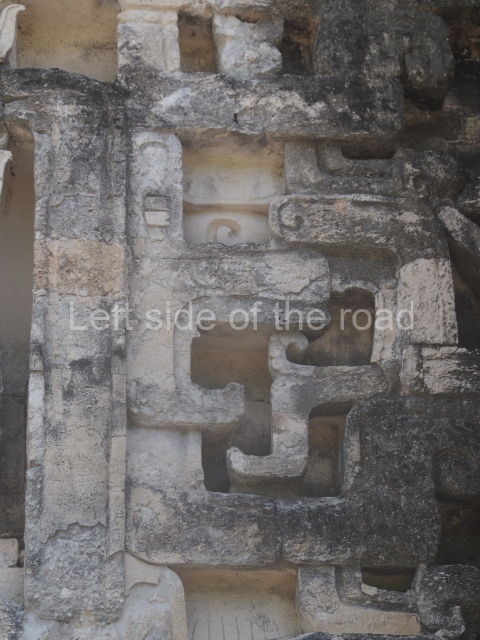
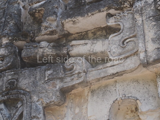
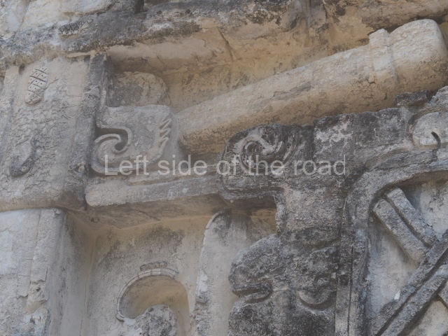
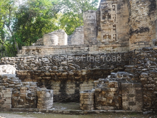
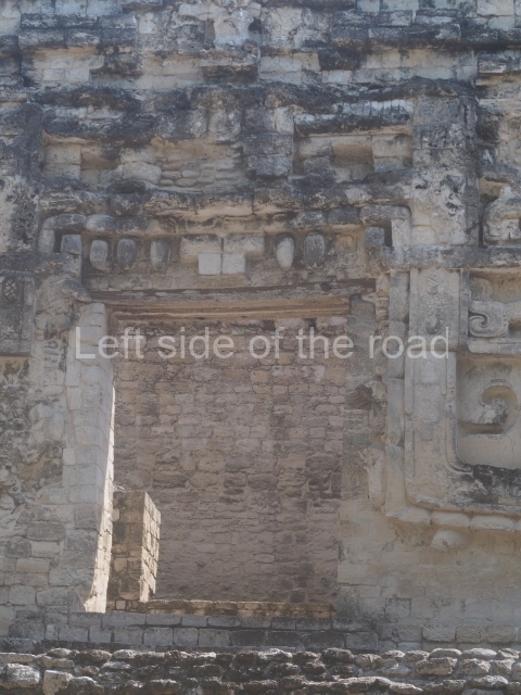
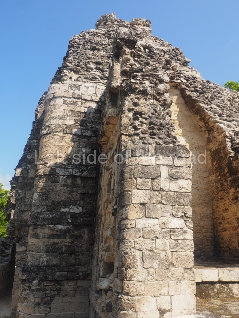
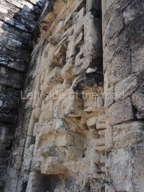
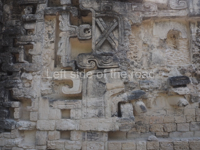
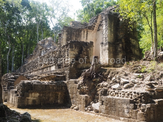
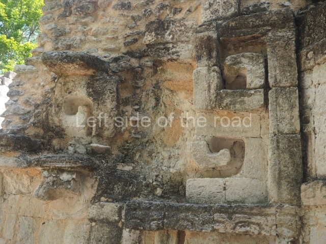
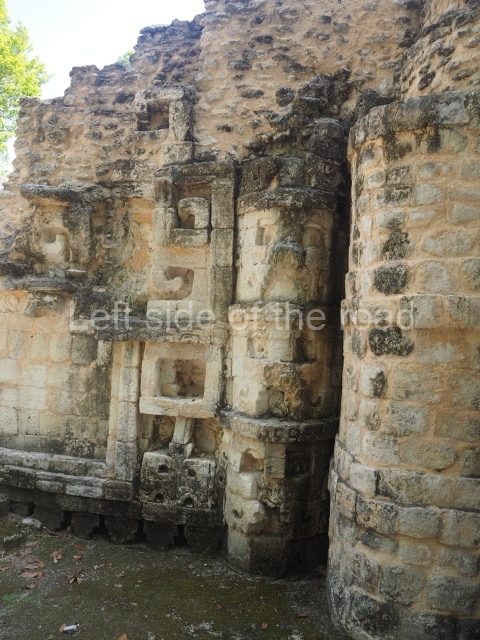
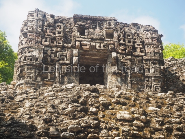
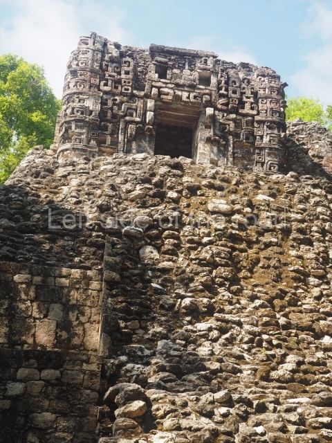
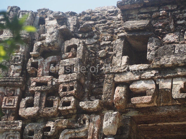
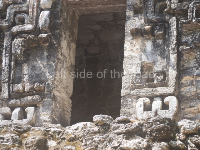
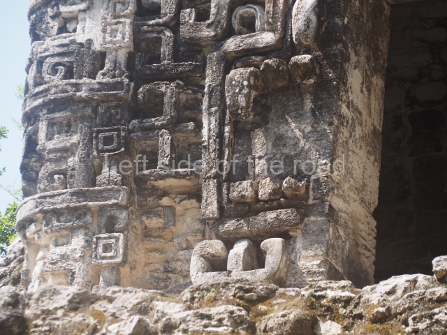
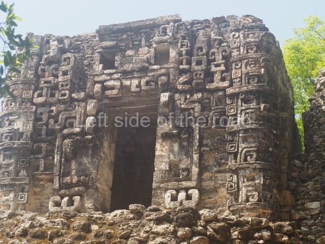
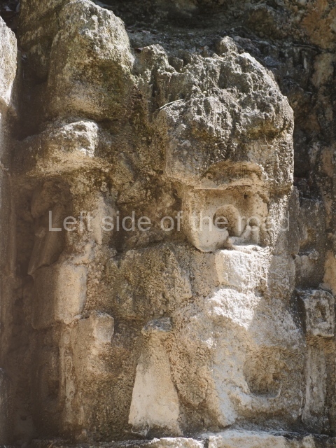
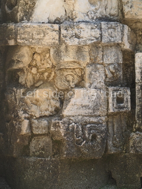
This is situated 100 m north-east of the aforementioned constructions and its highest structure (Building I) occupies the west section; it contains partially preserved lateral towers and ten rooms arranged in pairs, some of them with benches inside. The north side of the courtyard is occupied by two adjoining buildings from different periods. The construction on the south side has not yet been excavated. The most striking element in this courtyard is Structure II, built between AD 750 and 770. It is situated on the east side, which is distinguished by the stone figure of the Earth Monster, its mouth open to reveal fangs. This is made of finely carved limestone mosaic blocks and stucco, on which it is still possible to see traces of different colours, especially deep red. Six of the eight rooms adopt a longitudinal plan, while the two spaces at the rear ends are quadrangular, possibly having been used for objects associated with the ceremonies held in the architectural complex. Structure II at Chicanna is one of the best-preserved examples of a Rio Bec zoomorphic facade. We do not know the original name of the archaeological area, but the present-day name of the site is inspired by this building
Structure VI.
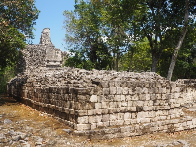
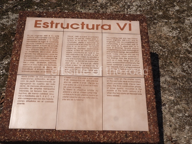
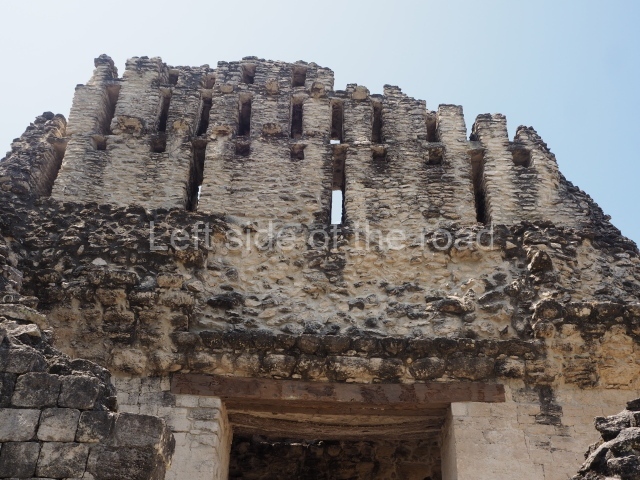
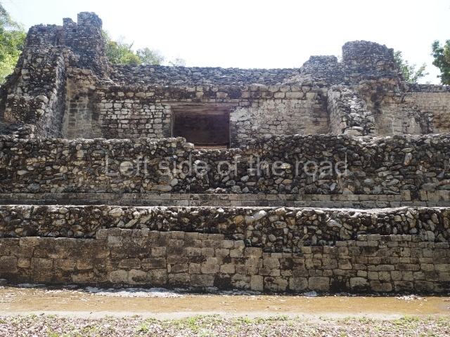
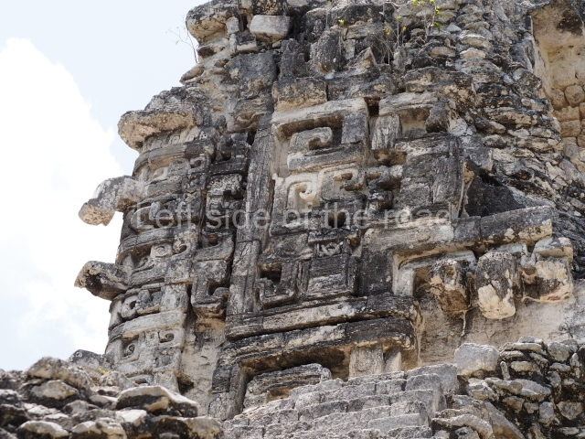
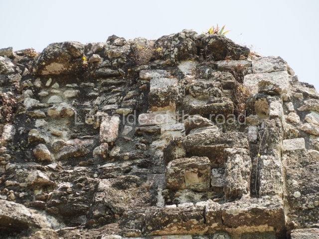
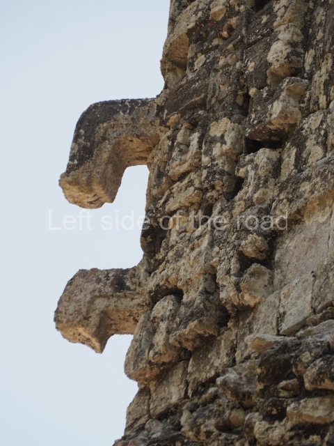
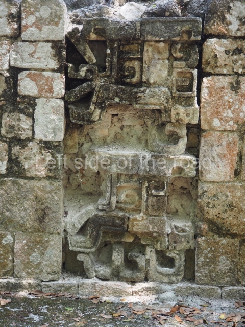
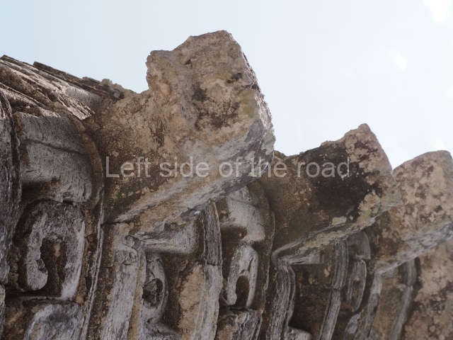
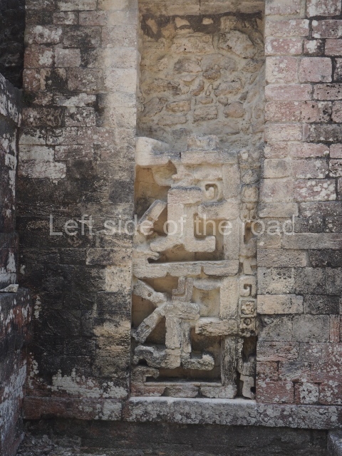
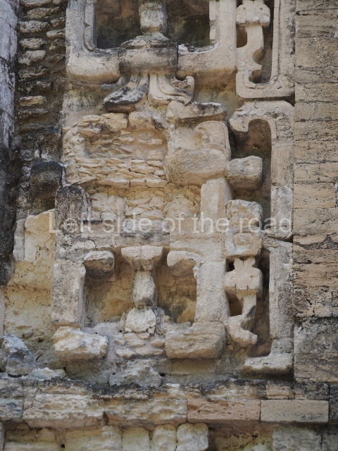
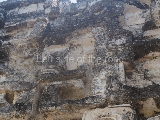
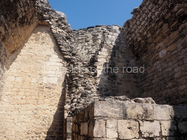
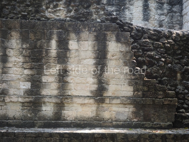
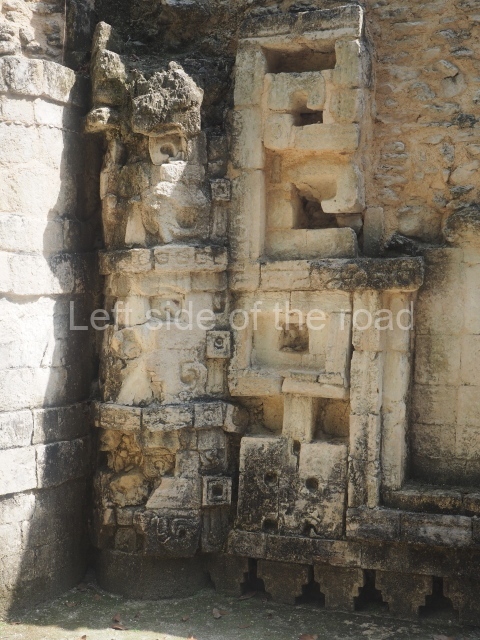
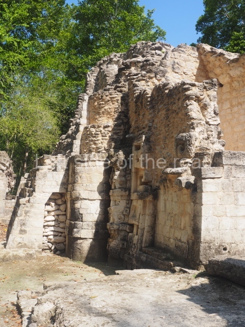
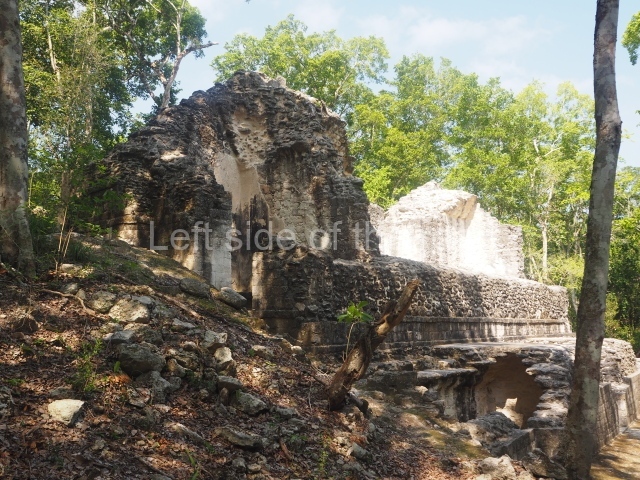
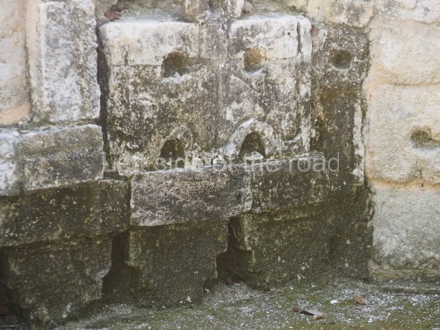
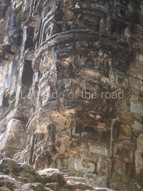
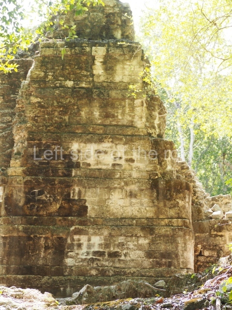
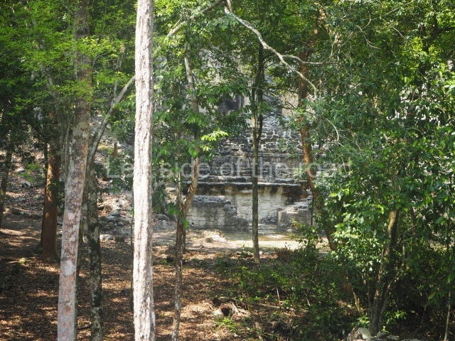
This is situated 100 m south-east of the previous courtyard and contains several south-facing rooms in a row. The facade wall displays partially preserved stacks of stylised masks representing the Earth Monster, and above the roof it is still possible to see part of the crest or comb that reinforced its majestic appearance. Additional masonry buildings were added to the west side of the edifice, all of which have lost their roofs. Structures VII to IX are associated with this architectural complex but have not been excavated. To date, no stelae or sculptures have been found at Chicanna. The ceramic materials uncovered during the different excavations are on display in the archaeology museums in Campeche and Hecelchakan.
Importance and relations
Chicanna was a satellite site of Becan, which is just 3 km away. In all likelihood, there were people at Chicanna who were related to the ruling family at the moat surrounded site. Both places contain examples of the architecture that gave its name to the region: Rio Bec.
From: ‘The Maya: an architectural and landscape guide’, produced jointly by the Junta de Andulacia and the Universidad Autonoma de Mexico, 2010, pp332-334.
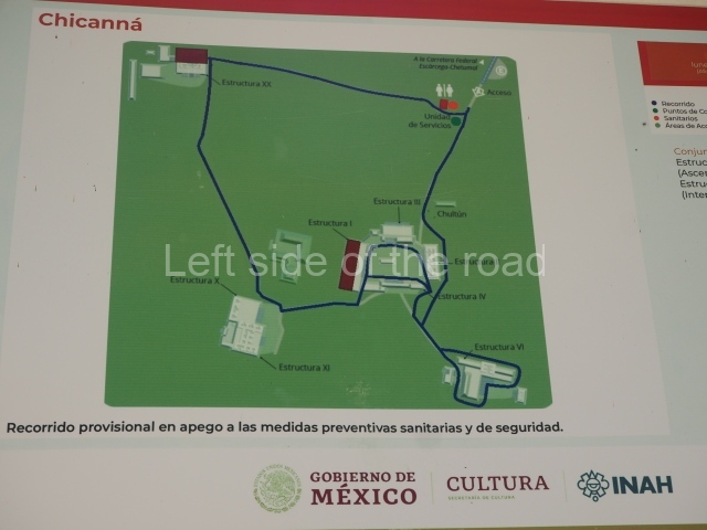
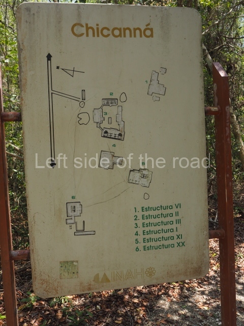
- Structure XX; 2. Structure XI; 3. Central Group; 4. Structure I; 5. Structure III; 6. Structure II; 7. Structure IV; 8. Structure VI.
Getting there:
From Xpujil. It’s possible to take colectivos that are heading toward Conhuas or the SUR bus heading towards Puerto Escárcega. Flag anything that looks like a colectivo to get back.
GPS:
18d 30′ 05″ N
89d 28′ 54″ W
Entrance:
M$70


