Monument to the Fallen of the NKVD in the Battle for Stalingrad

Monument to the Fallen of the NKVD in the Battle for Stalingrad

Monument to the Fallen of the NKVD in the Battle for Stalingrad

More on the USSR

Monument to the Fallen of the NKVD in the Battle for Stalingrad

‘It is impossible to overestimate the importance of the NKVD troops during the war. They became an indestructible shield that protected our country. It was with their help that it was possible to stop the retreating army, overcome the demoralized state of a number of army units, protect the country from the invasion of enemy saboteurs and bandits with personal participation, organize a powerful partisan movement behind enemy lines, stop the enemy’s armed forces in the most important strategic directions, such as Moscow, the Caucasus , Stalingrad.’

[Introductory paragraph from ‘Pages of the history of the internal affairs bodies: the feat of the 10th division of the NKVD’

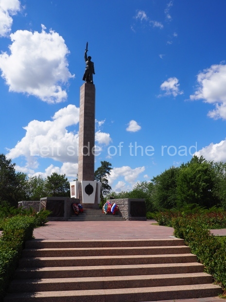
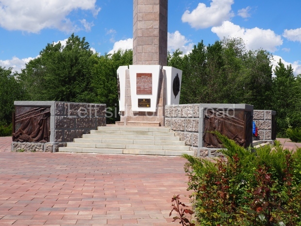
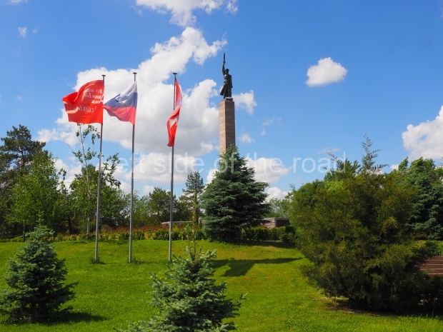
At the southern end of Stalingrad city centre there’s a small park which hosts an impressive monument to those members of the NKVD who fought and died in the Battle of Stalingrad. Even if you don’t know immediately who is commemorated by the monument if you know the name of the square you are given a clue by it’s name. The location of the park is known as Chekist Square – the colloquial name of the security organisation, established soon after the October Revolution in 1917, was the Cheka and even though the official name changed a number of times over the years the ‘nickname’ persisted.

The number of troops involved involved in NKVD formations were obviously many more than would have existed in peace time and these divisions became much more ideological – formed by those Communists who were fighting for much more than the liberation of their country from the Nazi invaders but for the international cause of Socialism. They were sent to some of the fiercest fighting and consequently suffered some of the heaviest losses and played a much more prominent role in various battlefronts than their numbers would suggest. Although the formation of such fighting forces had its positives the negative consequence of this was that after the victory of the Red Army over the fascist invader the forces of committed Communists was weakened – a consequence of which was felt in the Soviet Union after the death of JV Stalin in 1953.

The Monument

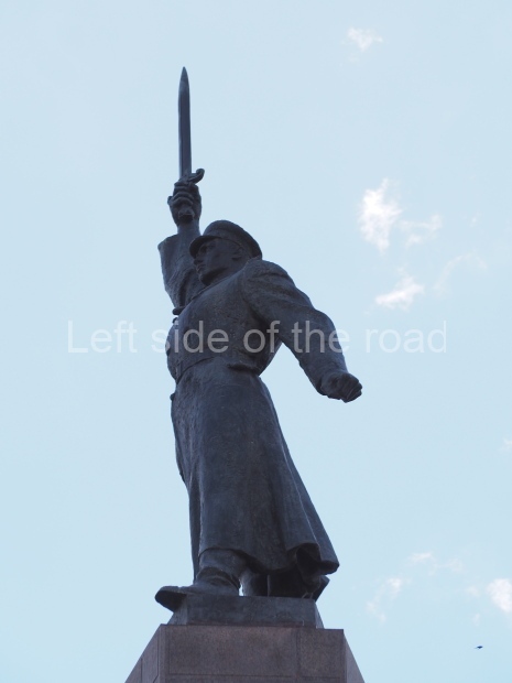
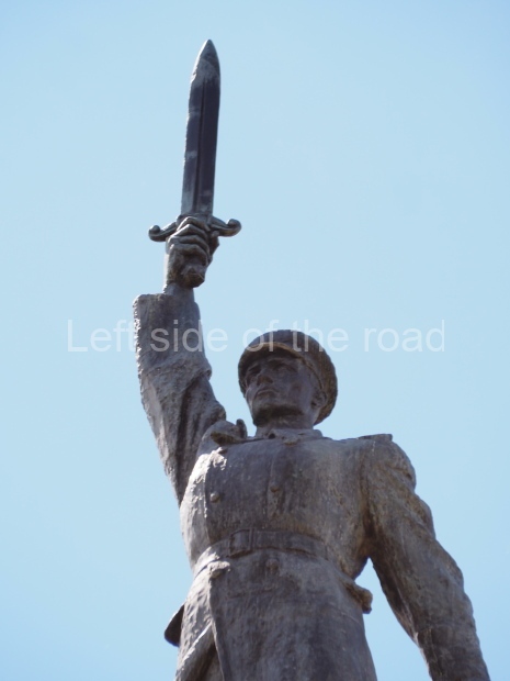
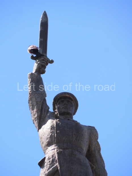
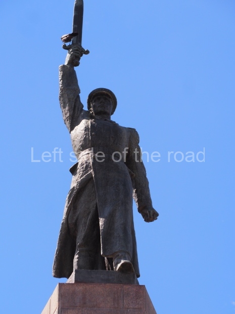
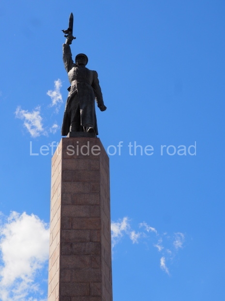
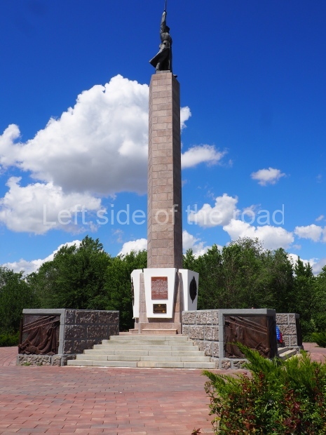
The monument consists of a pillar on top of which stands a uniformed soldier with his right arm raised high above his head and in his hand he is holding a sword. In November 1932 JV Stalin sent a message of congratulations to the then OGPU addressing them as ‘the bared sword of the working class’.

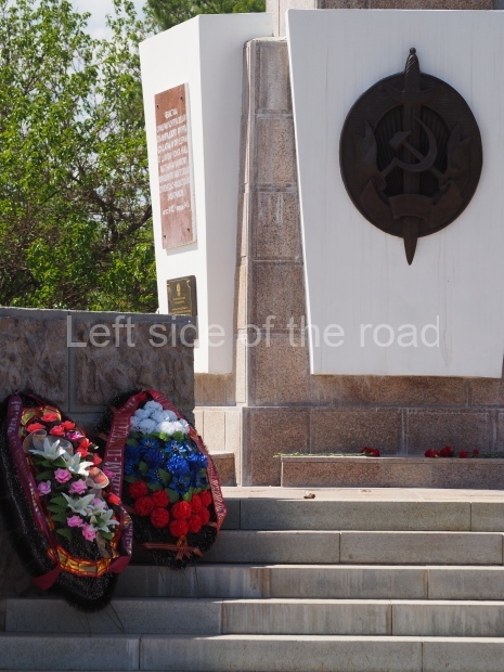
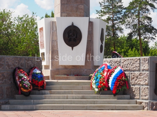
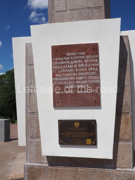
There’s a pentagon at the base of the pillar and on the five sides there’s;

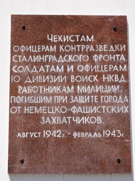
a plaque (in Russian)

Чекистам, сотрудникам контрразведки Сталинградского фронта и военной полиции, погибшим при защите города от немецко-фашистских захватчиков с августа 1942 – февраль 1943 года

which translates as;

To the Chekists, to the counter-intelligence officers of the Stalingrad Front and the military police officers who died while defending the city from the Nazi invaders, August 1942 to February 1943;

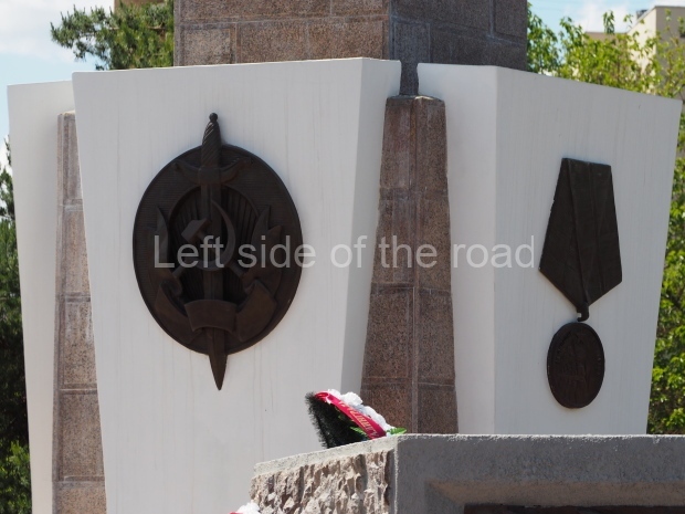
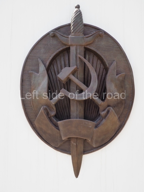
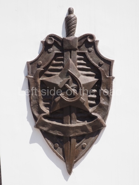
a large, metal image of the symbol of the NKVD – which has the Hammer and Sickle superimposed on a vertical sword;

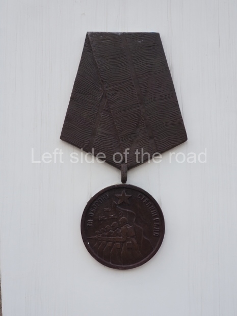
a large, metal image of the Medal for the Defence of Stalingrad;

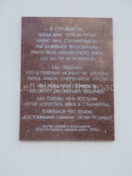
another plaque (in Russian)

В СУРОВЫЙ ЧАС.

КОГДА ВРАГ ЧЕРНОЙ ТУЧЕЙ НАВЕС НАД СТАЛИНГРАДОМ,
МЫ КЛЯНЕМСЯ БЕСПОШАДНО УНИЧТОЖАТЬ НЕНАВИСТНОГО ВРАГА, ГДЕ БЫ ОН НЕ ПОЯВИЛСЯ.

МЫ ОБЕЩАЕМ, ЧТО В ТЯЖЕЛЫЙ МОМЕНТ НЕ ДРОГНЕМ ПЕРЕД ЛИЦОМ СМЕРТЕЛЬНОЙ УГРОЗЫ.

МЫ ПОКАЖЕМ СТОЙКОСТЬ, ВЫСОКУЮ ДИСЦИПЛИНУ, ВЫДЕРЖКУ.

МЫ ПОТОВЫ ЛЕЧЬ КОСТЬМИ, НО НЕ ДОПУСТИТЬ ВРАГА В СТАЛИНГРАД.

КЛЯНЕМСЯ ЧТО БУДЕМ ДОСТОЙНЫМИ СЫНАМИ СВОЕЙ РОДИНЫ!

КЛЯТВА БОЙЦОВ И КОМАНДИРОВ 10-ОЙ СТРеАКоВОЙ ВОйСК НКВА

which translates as;

In the fateful hour, when the enemy loomed over Stalingrad like a black cloud, we will never repent of relentlessly destroying the hated enemy no matter how he appears.

We promise that in difficult moments we will not flinch in the face of a deadly threat.

We will show resilience, high discipline and self control.

We would lay down our lives to prevent the enemy from entering Stalingrad.

We swear we will be worthy sons of our Homeland.

Oath of the soldiers and commanders of the 10th Infantry Division of the NKVD troops

and another emblem of the NKVD but this time with the addition of an honorific, a Star between the Hammer and Sickle and the Sword

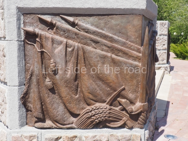
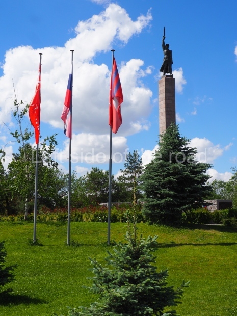
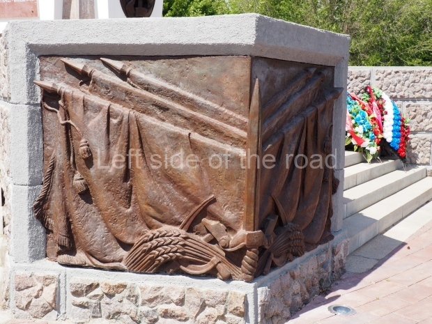
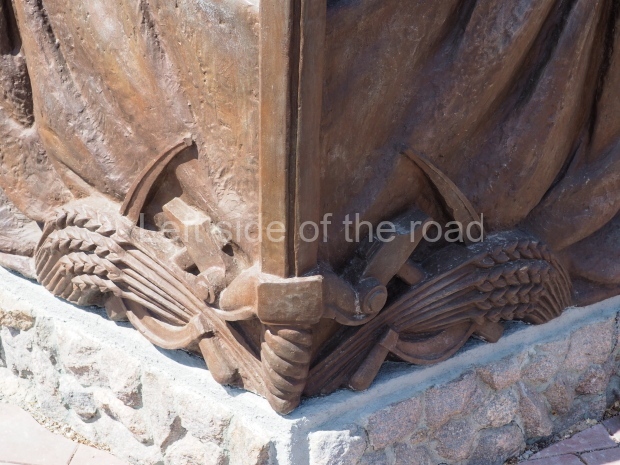
The platform upon which all this stands has five sets of steps up to the pentagon. On two sides of the wall that flanks these steps are mirrored images of; three Soviet flags lowered as a sign of respect for the fallen, the Hammer and Sickle over which lies a sheaf of wheat and the corner is formed by a vertical sword, point at the top (similar to that in the hand of the NKVD soldier at the top of the column).

The monument is at the highest point in this small park and slightly away from the main road. There’s seating, much of it in the shade of the trees and appears to be a place where people come to rest from the hustle and bustle of the city and away from the heat in summer.

There’s another monument to the NKVD, this time over a grave of those killed in the battle, next to the statue of VI Lenin, in Lenin Square, just a couple of kilometres to the north of this monument, along the main road in the direction of Mamyev Kurgan.

Further information;

Division of the NKVD in the defense of Stalingrad. The feat of the NKVD division in the battle of Stalingrad. Participation of internal troops in interethnic conflicts

Location;

Chekistov Square and Park, located at the southern end of the Astrakhansky Bridge on the edge of the town centre.

GPS;

78.70155 N

44.50653 E

How to get there;

The Pionerskaya Metro station is on the other side of the Astrakhanskya Bridge. Also many buses pass over this bridge when heading south and west of Stalingrad city centre.

More on the USSR

Mixco Viejo – Guatemala

Mixco Viejo

Mixco Viejo

More on the Maya

Mixco Viejo

Location

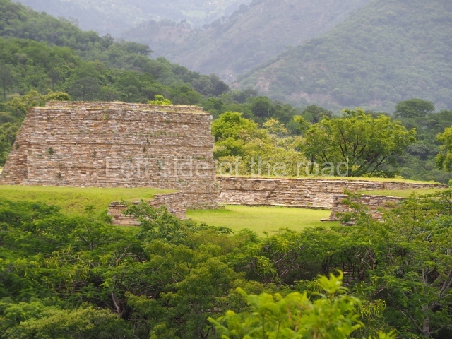
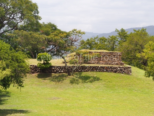
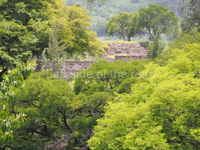
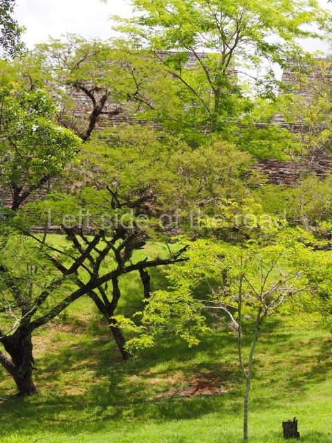
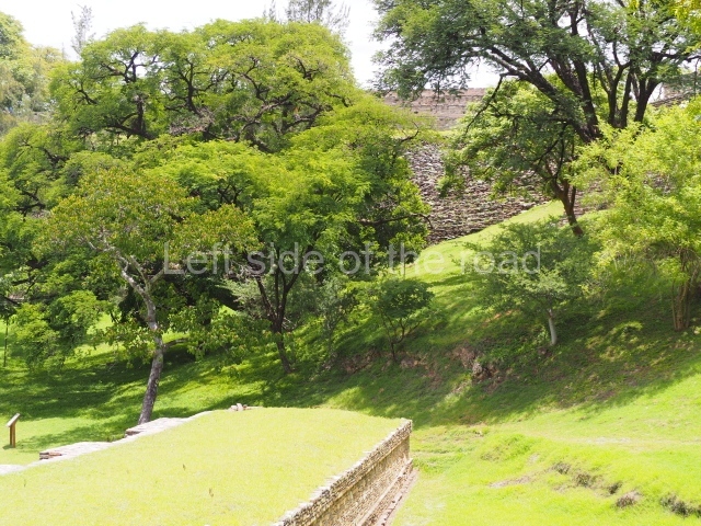
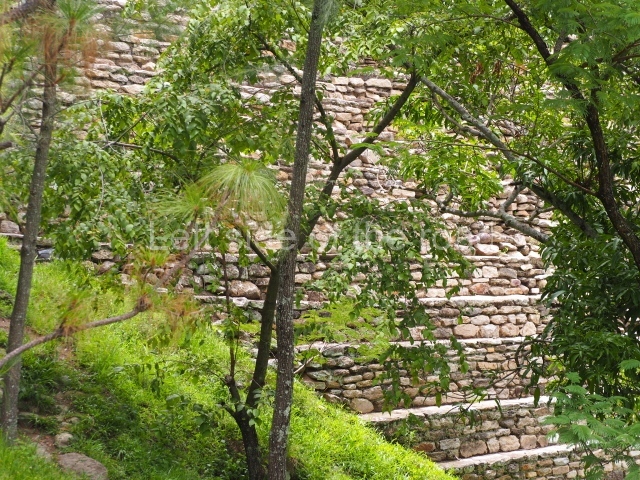
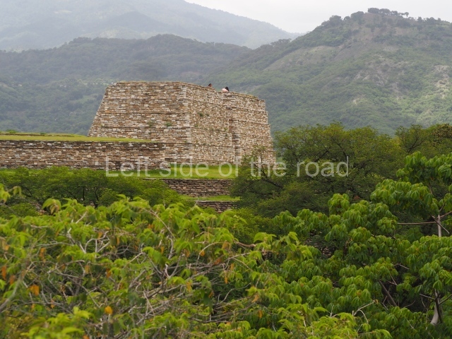
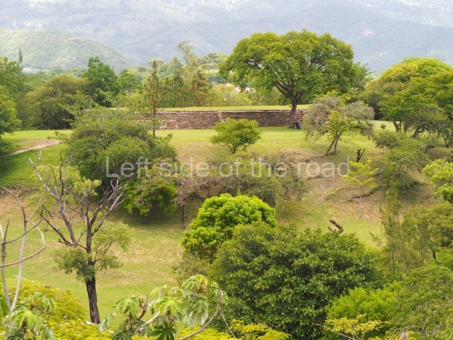
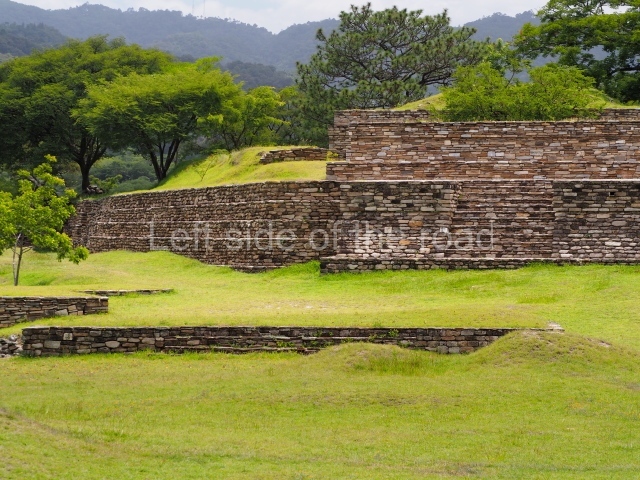
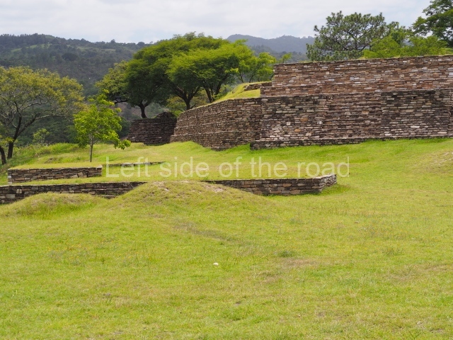
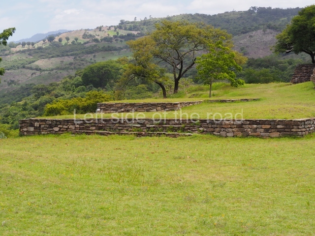
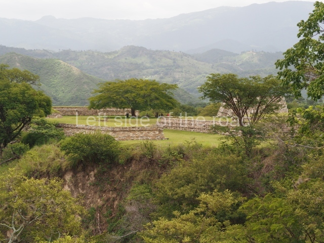
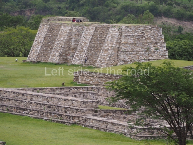
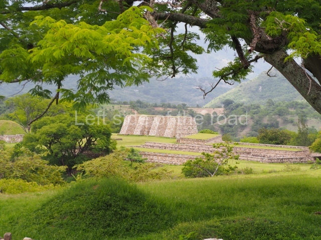
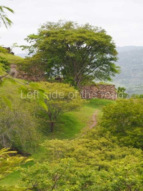
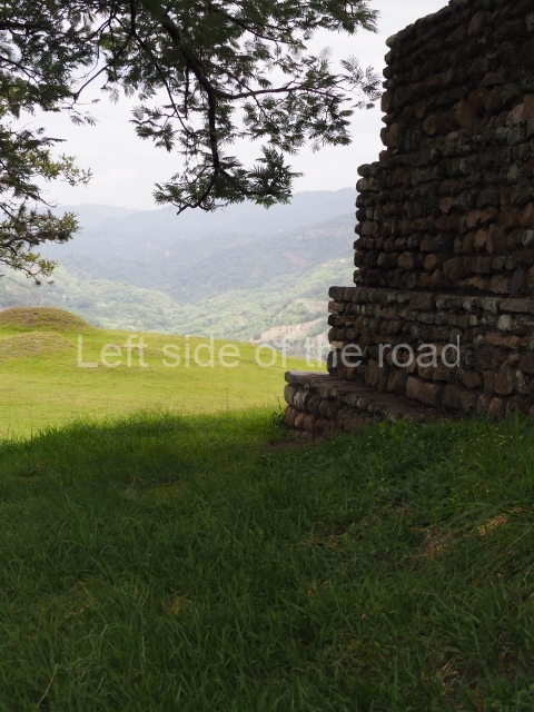
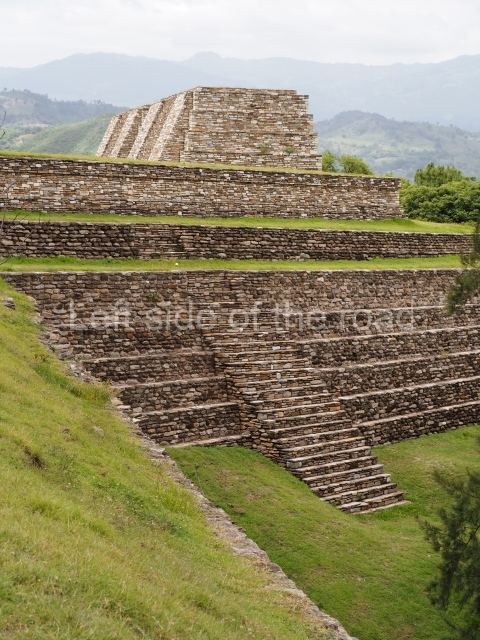
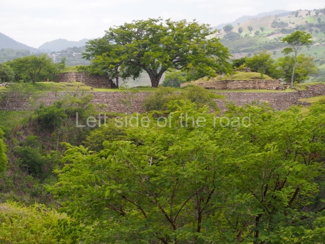
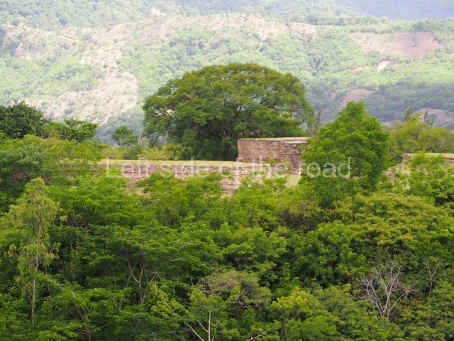
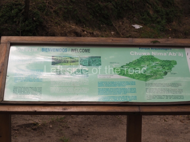
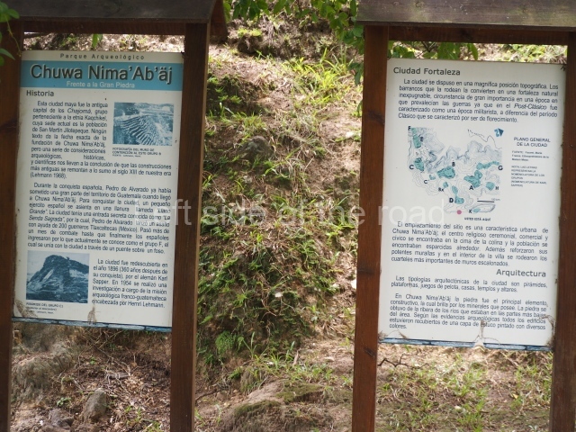
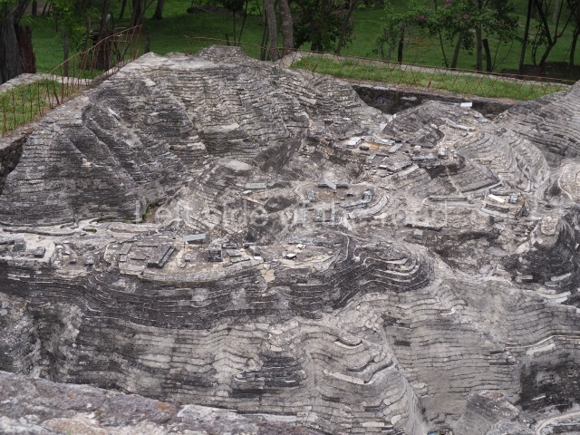
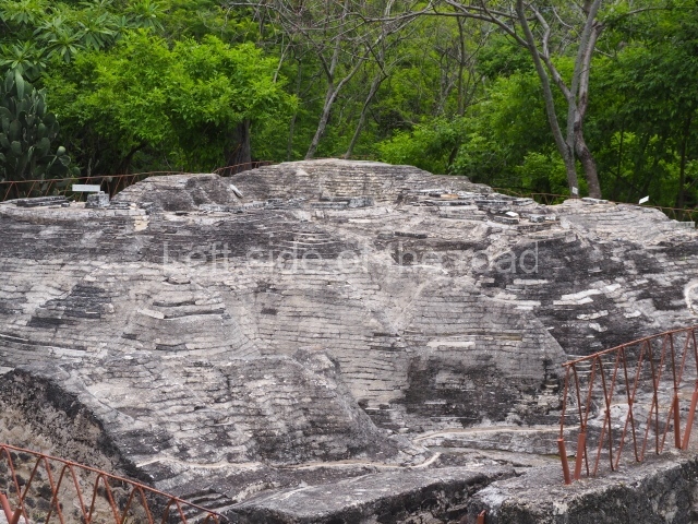
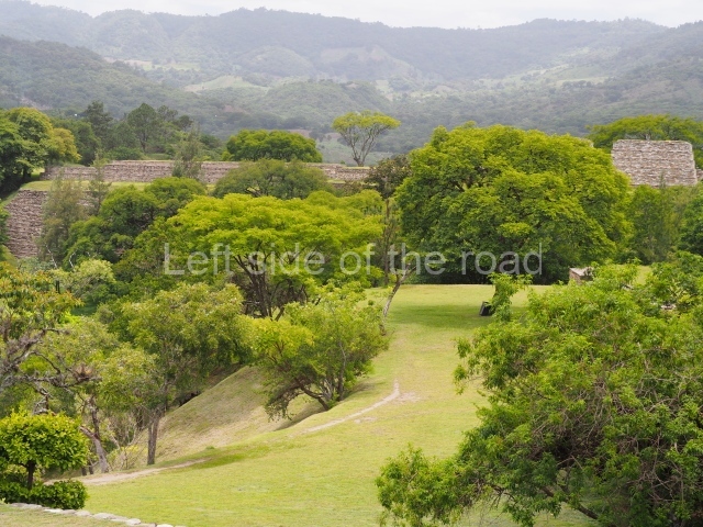
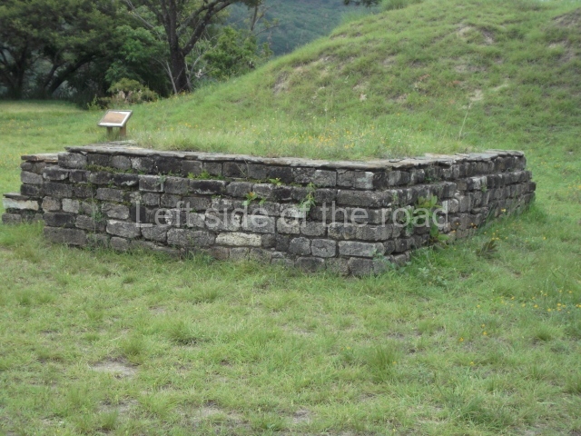
This is one of the most representative Postclassic archaeological sites in the Guatemalan Highlands. Its architecture and landscape combine to make it one of the finest exponents of a defensive site or fortress city from the last period of the pre-Hispanic period. It is situated on a plateau surrounded by deep ravines, 61 km north of the present-day Guatemala City.

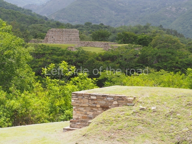
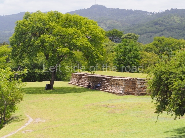
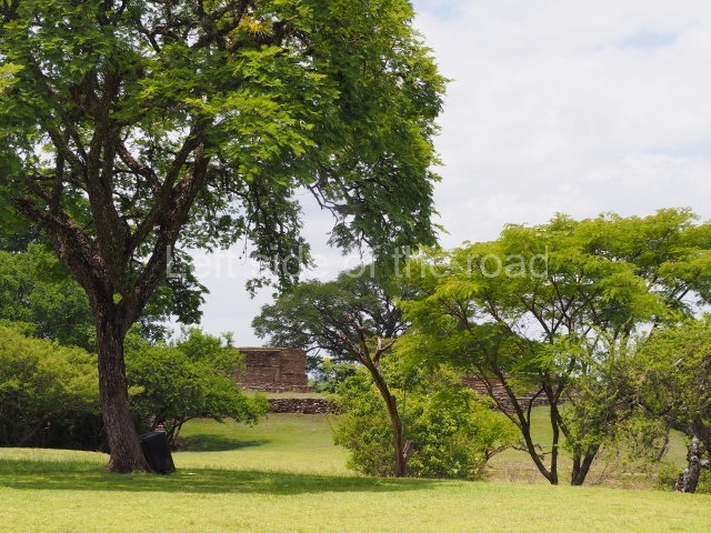
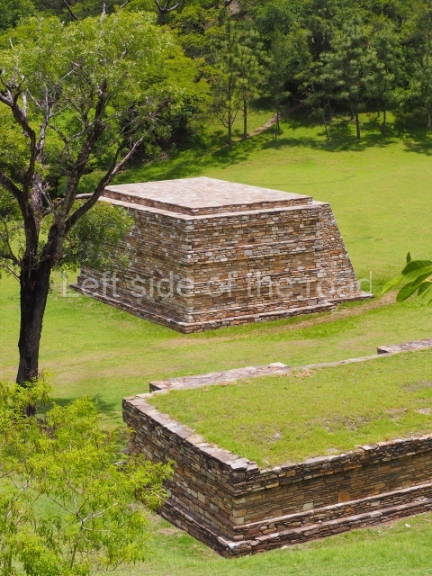
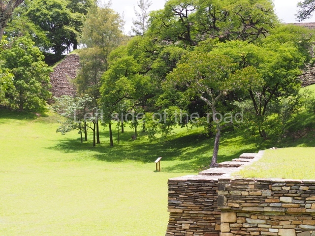
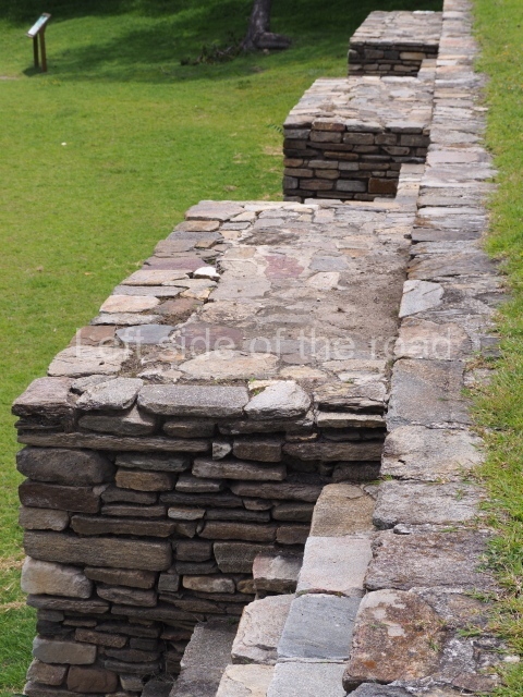
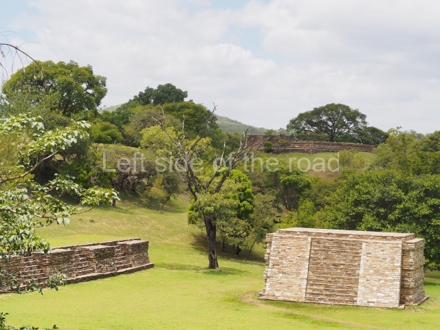
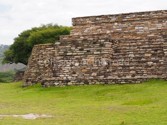
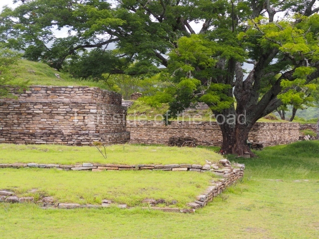
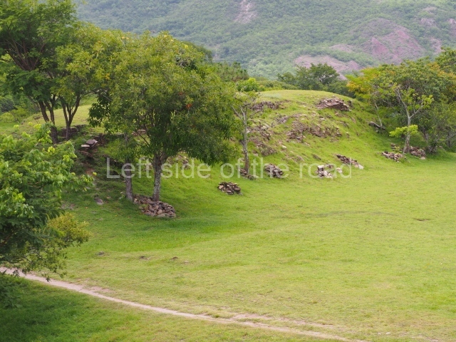
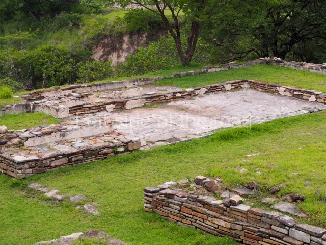
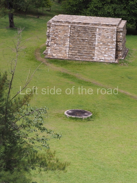
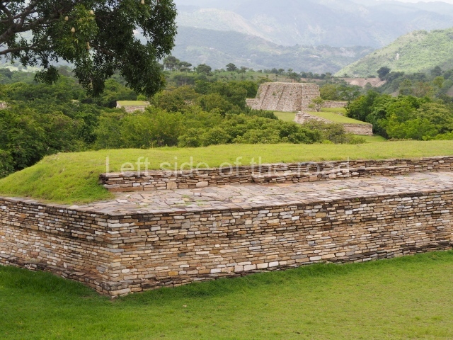
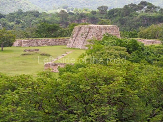
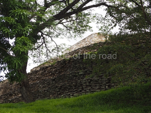
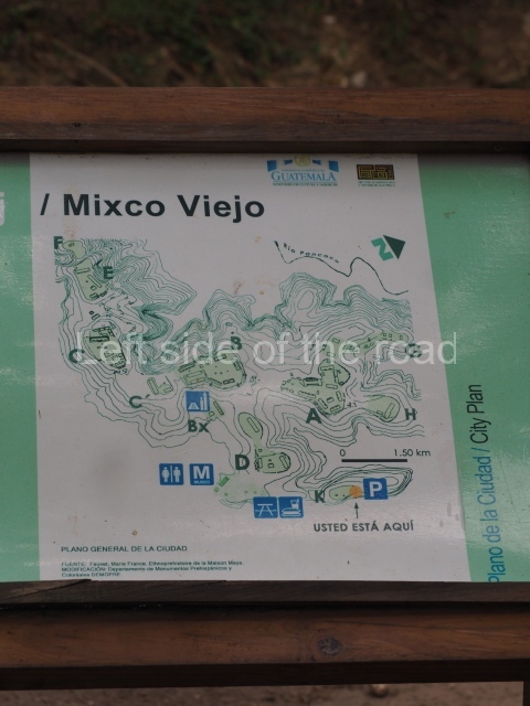
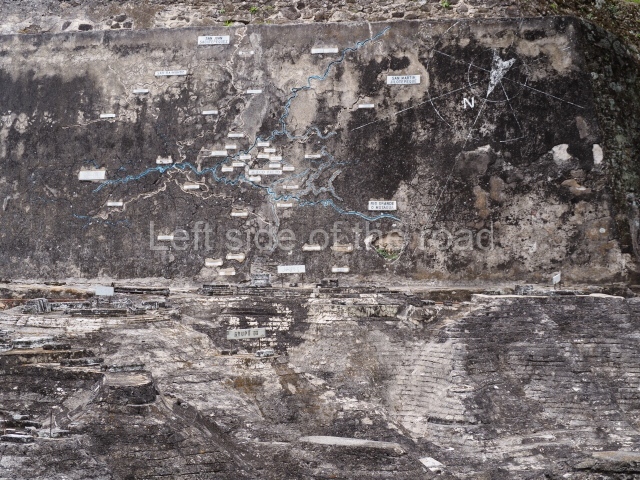
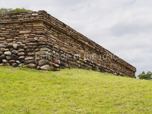
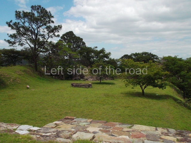
The confluence of the rivers Motagua and Pixcaya flows in deep ravines all around the site. The predominate climate is hot and dry, and the vegetation is of the thicket type. The site, which covers an area of approximately 1 km and stands 880 m above sea level, contains over 100 structures distributed in several groups designated by letters. Each group consists of one or more temples, several platforms for supporting large houses or palaces, and a ball court, all situated around enclosed or open plazas.
Pre-Hispanic history

According to Fuentes and Guzman, the fortress at Mixco Viejo was a virtually impregnable military bastion due to its location and magnificent defensive position. However, following cruel battles waged on the plains around the site, a group of prisoners revealed a secret access to the Spaniards, enabling them to take the defenders of the fort unawares and defeat them in a campaign led by Pedro de Alvarado.

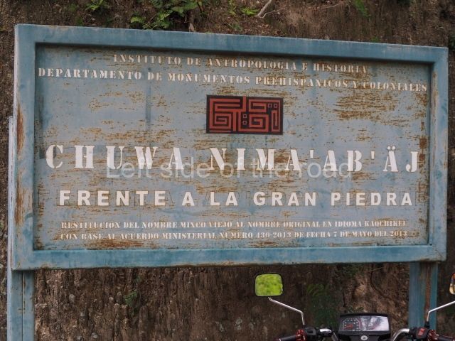
The ruins of Mixco Viejo were identified by Karl Sapper, who visited the site at the end of the 19th century. The next visitor was A. L. Smith, who included it in his book Archaeological Reconnaissance in Central America, and in a chapter in his Handbook of Middle American Indians. The first excavations were conduced by Henri Lehmann of the Franco-Guatemalan Mission in 1954. According to historical records, the site was the capital of the Pocomam kingdom, whose present-day descendants live in the town of Mixco. However, a detailed ethno-historic research project led by Robert Carmack proved that Mixco Viejo was the capital of the Chajoma Maya, a group belonging to the Caqchikel race, whose present-day home is the town of San Martin Jilotepeque. Carmack believed the correct name of the site to be Jilotepeque Viejo, and that the Pocomam capital was the ruin known as Chinautla Viejo, not far from the present-day Zone 6 in Guatemala City. However, out of habit, this important site has continued to be known as the ruins of Mixco Viejo.
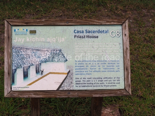
Site description

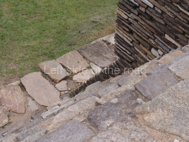
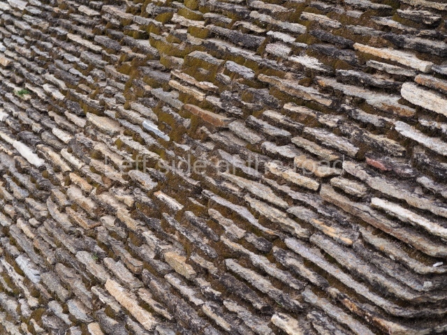
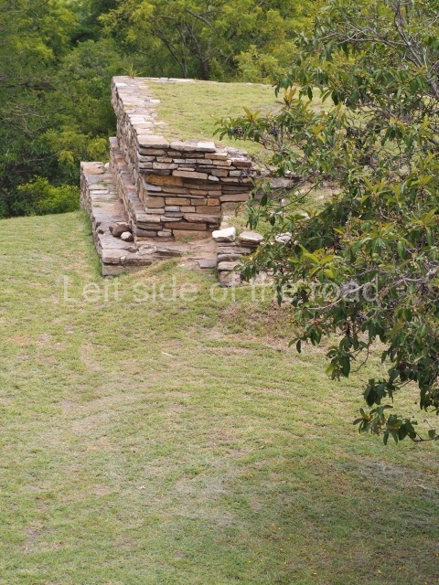
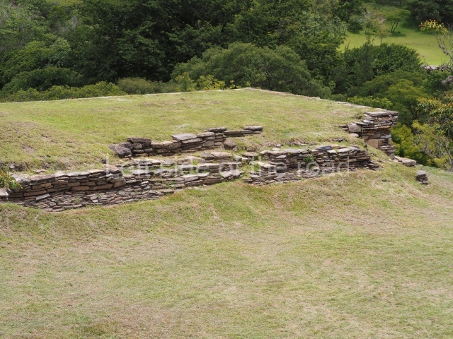
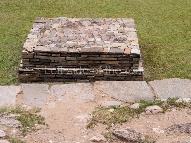
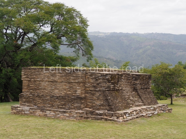
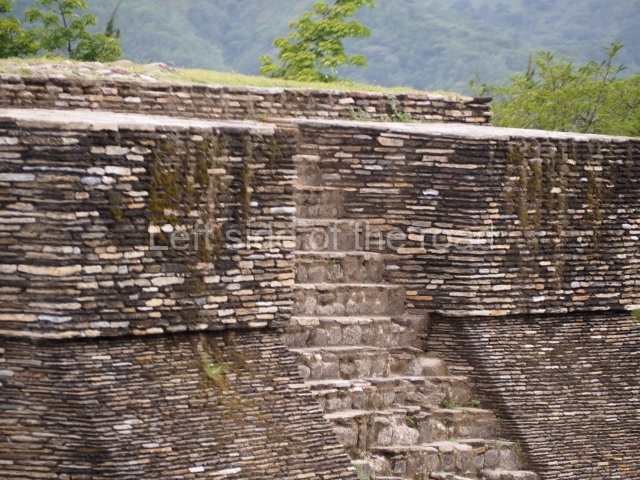
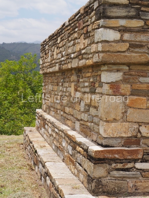
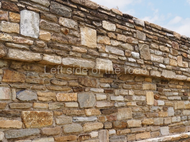
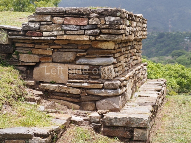
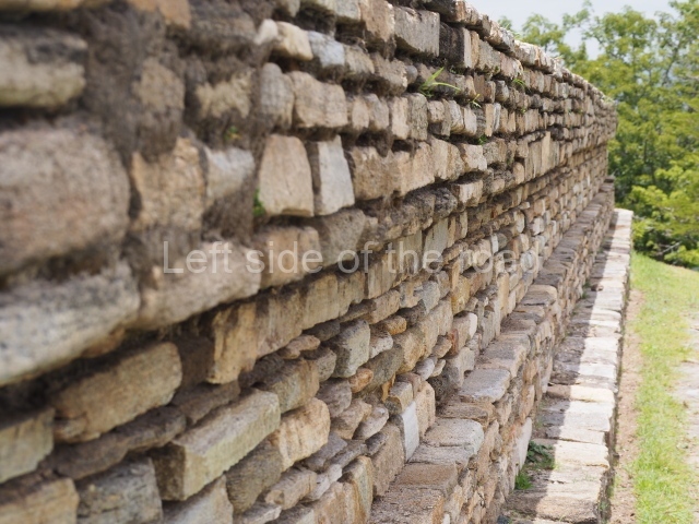
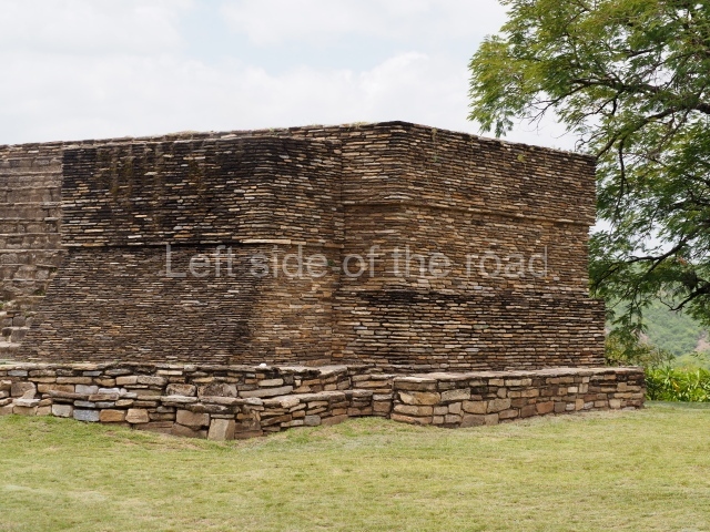
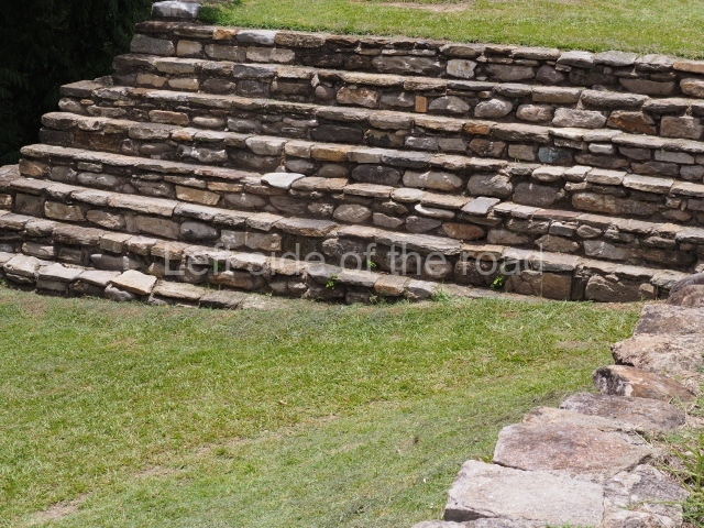
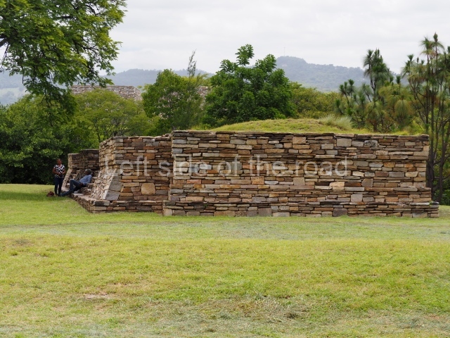
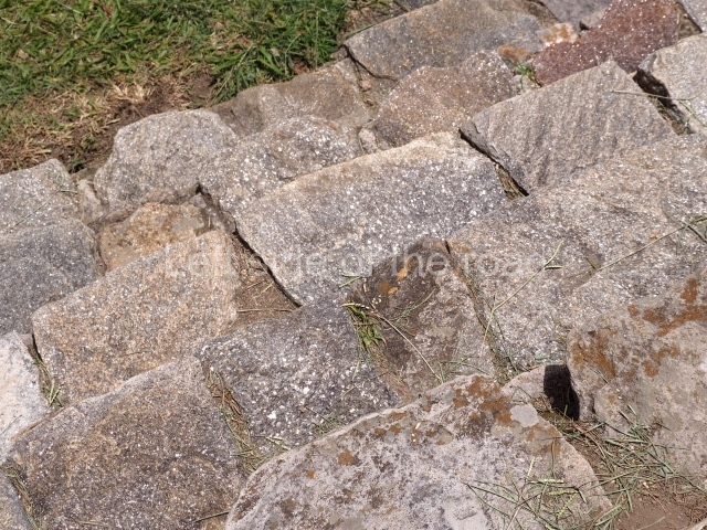
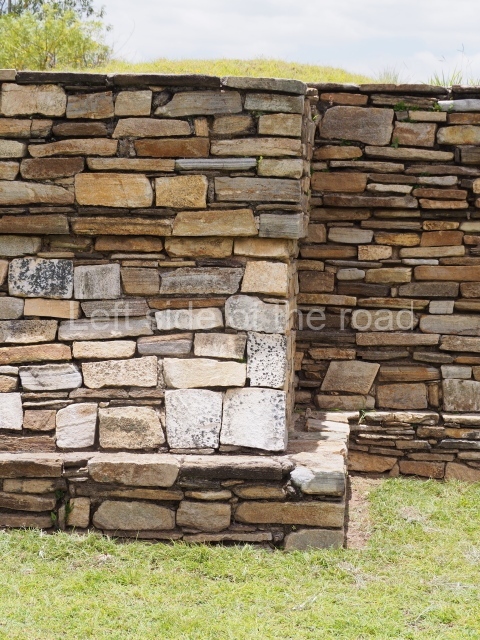
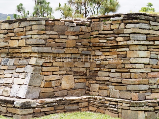
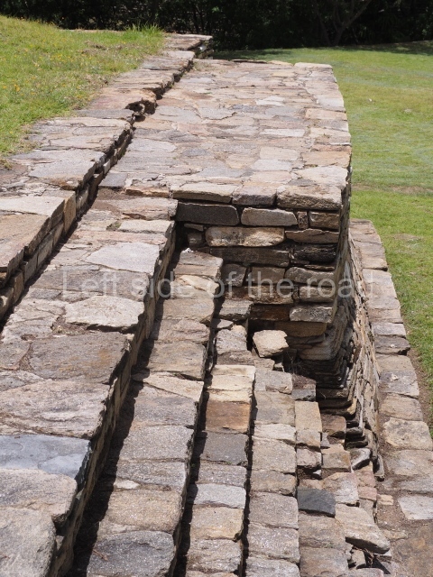
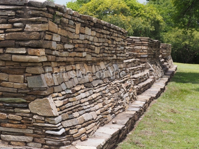
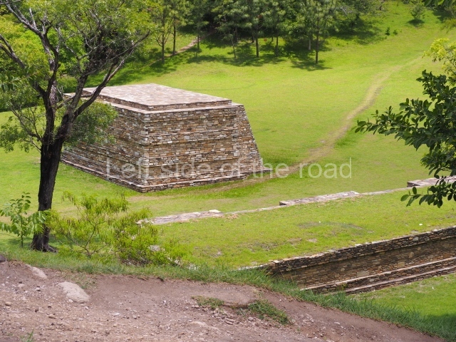
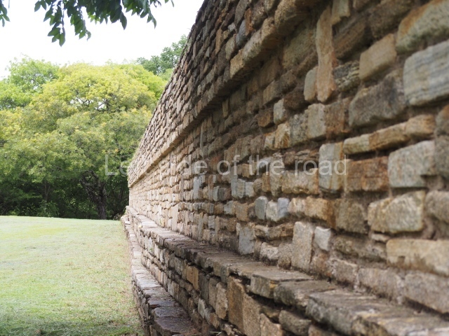
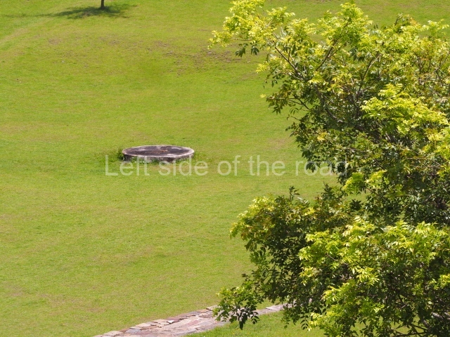
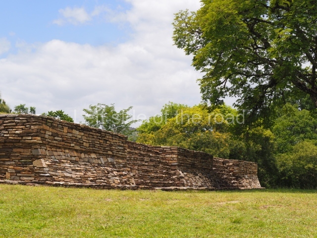
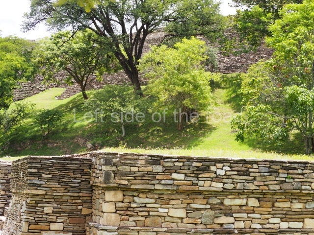
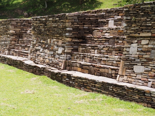
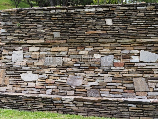
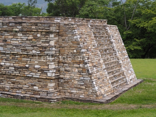
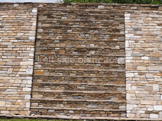
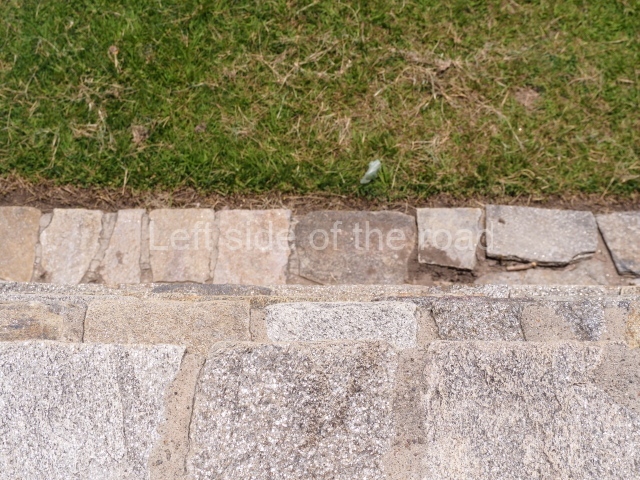
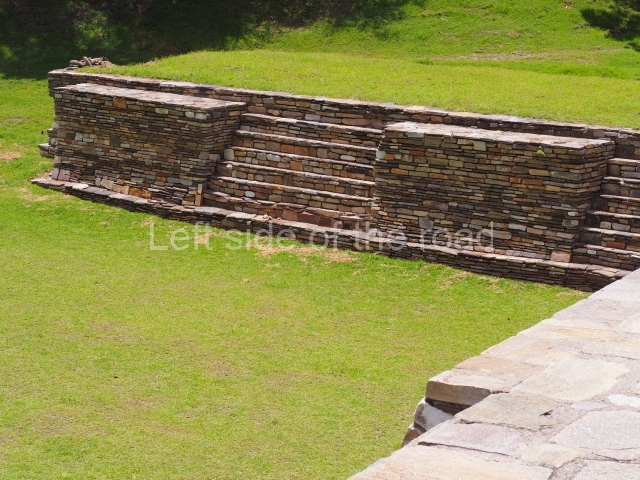
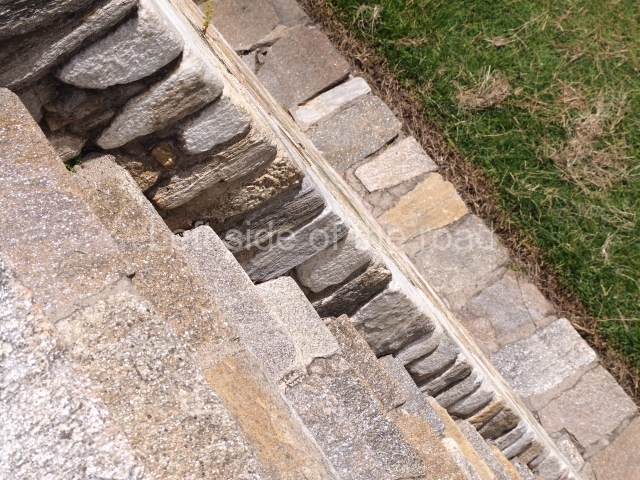
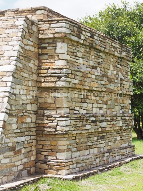
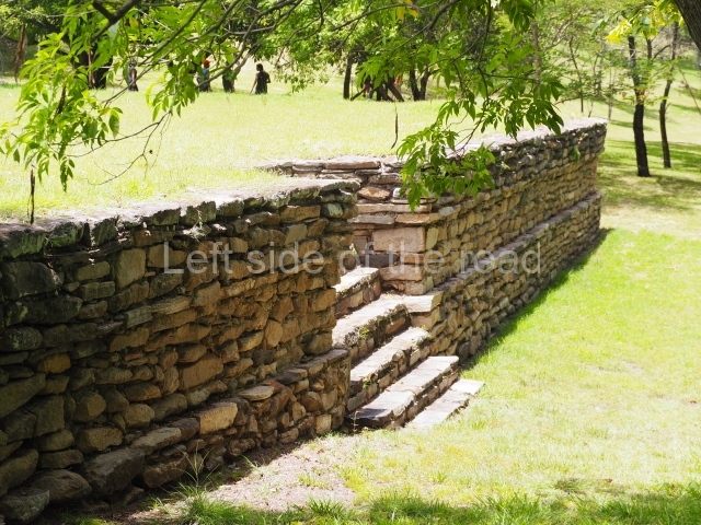
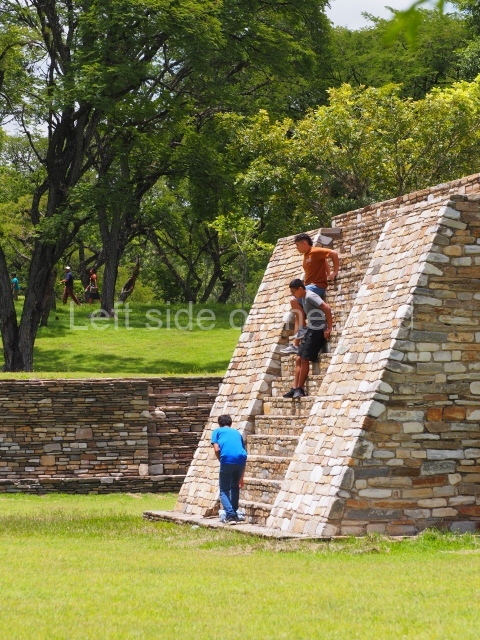
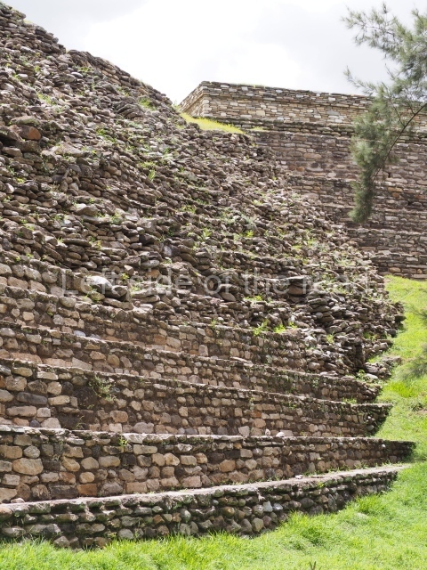
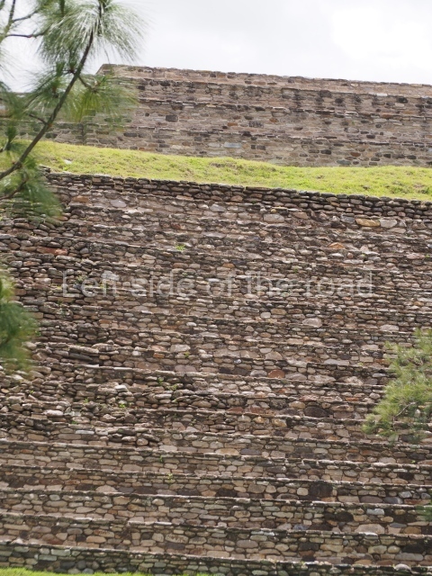
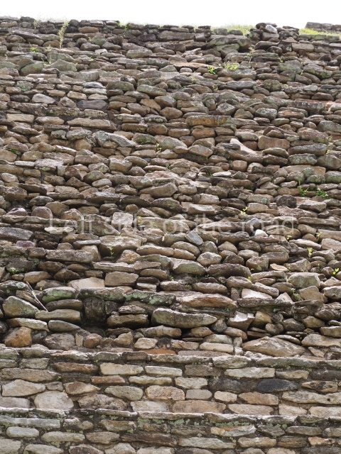
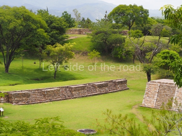
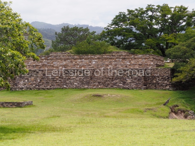
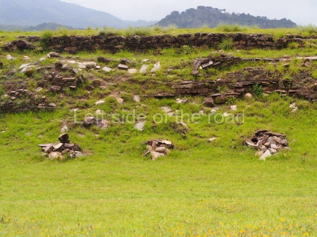
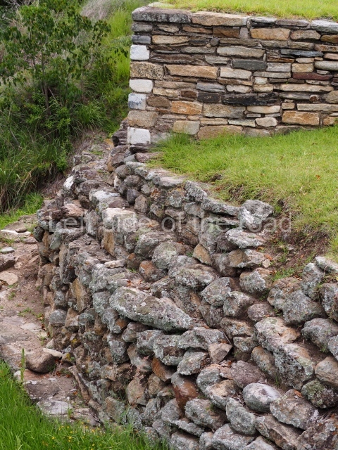
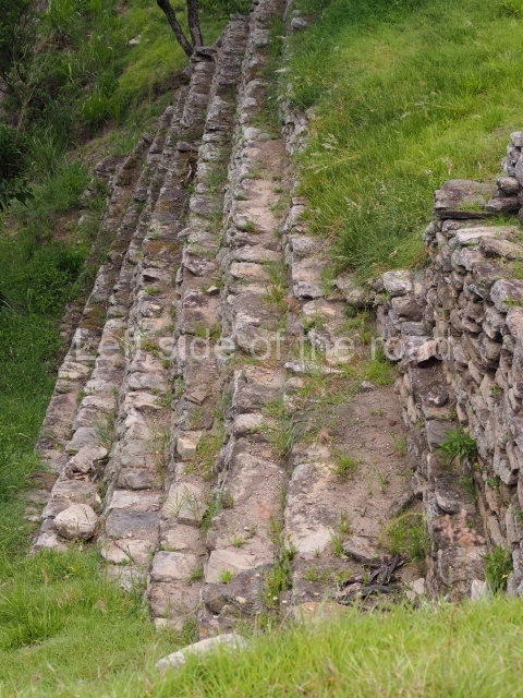
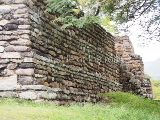
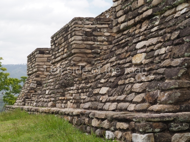
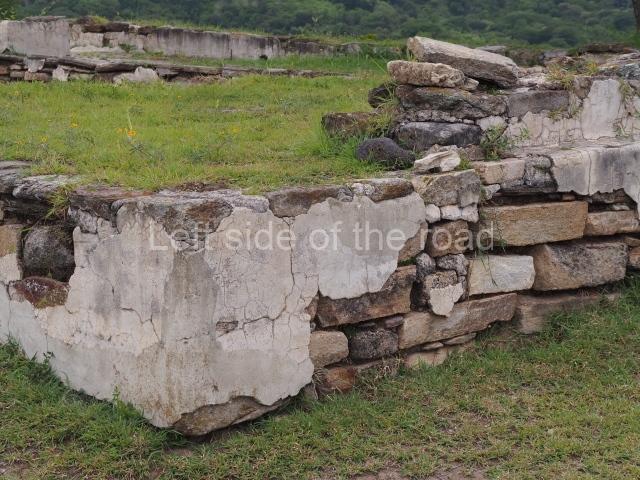
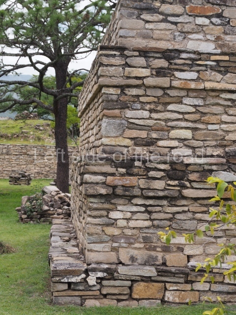
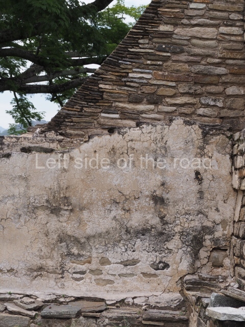
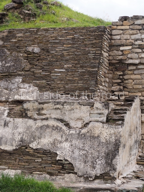
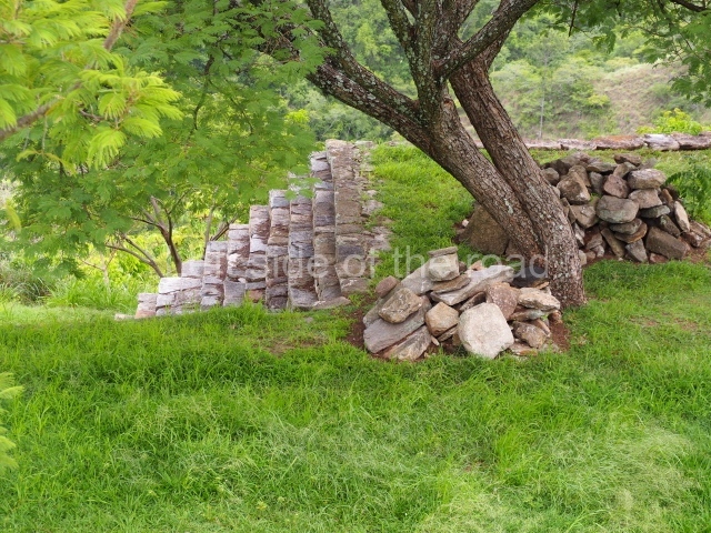
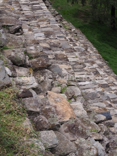
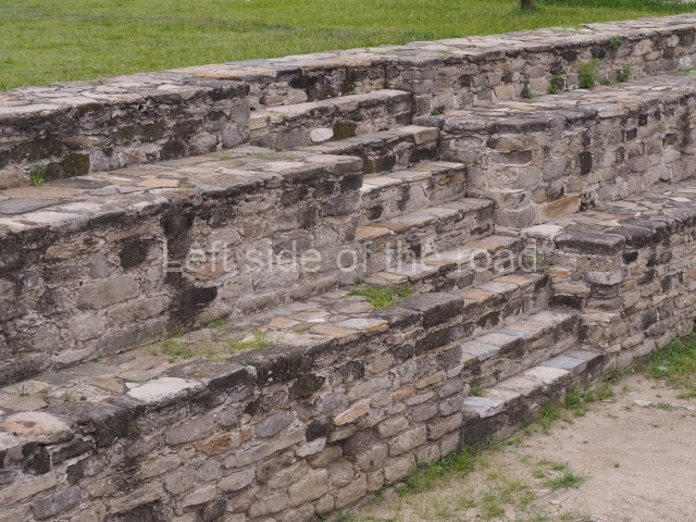
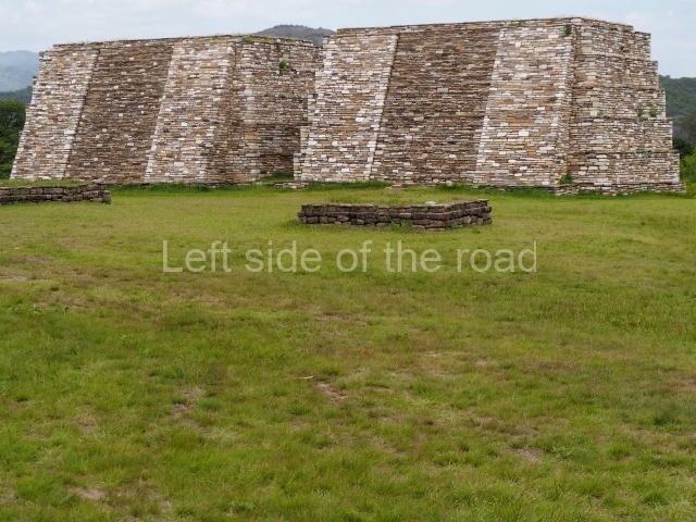
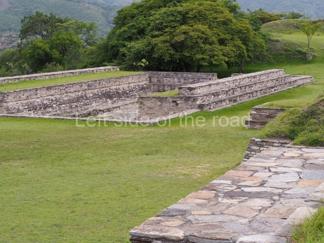
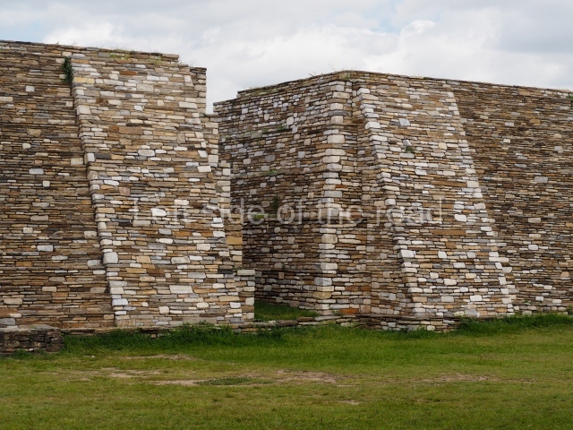
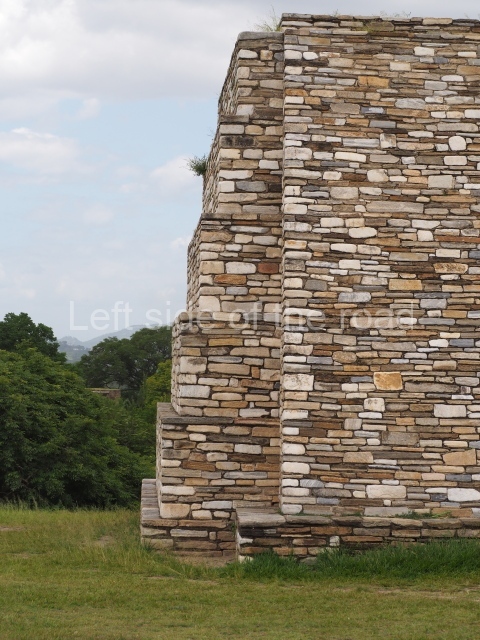
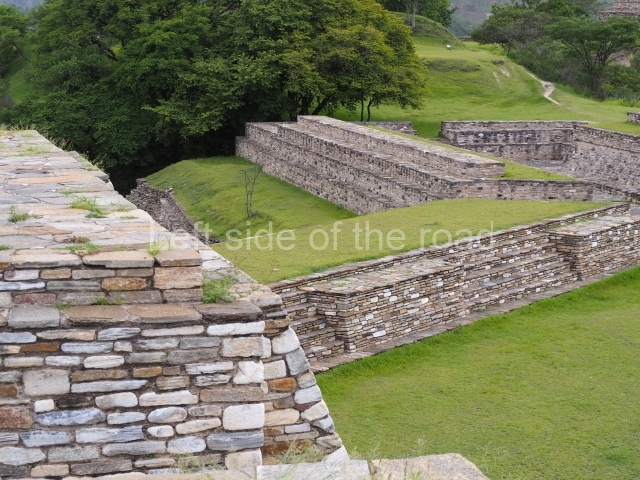
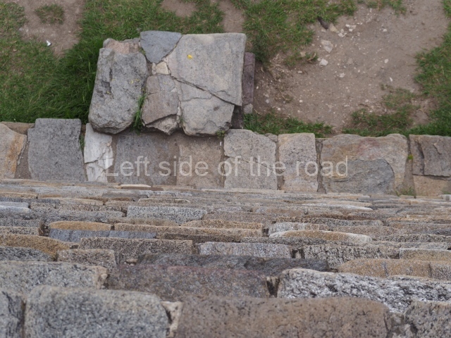
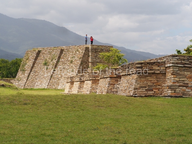
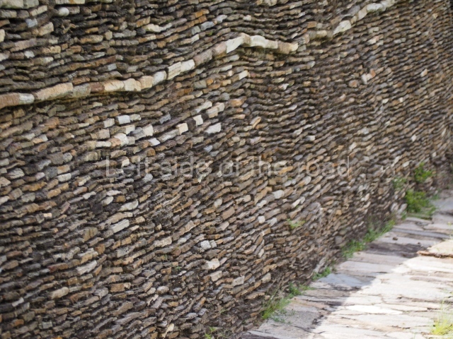
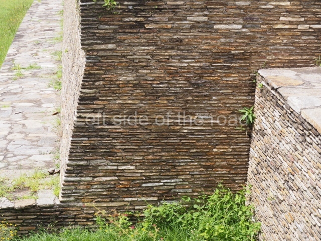
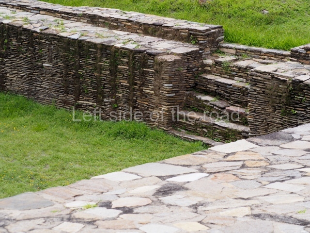
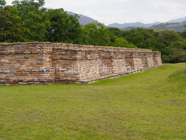
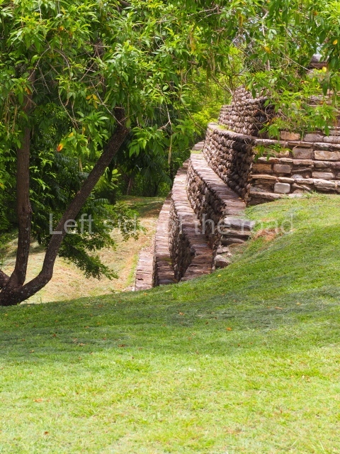
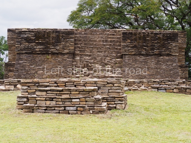
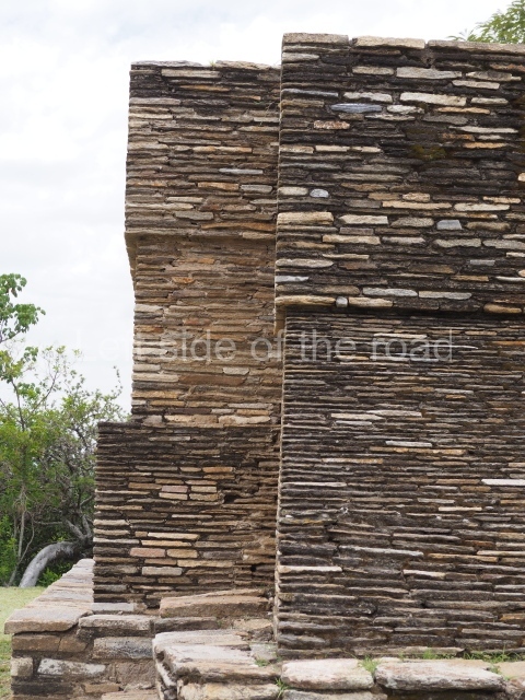
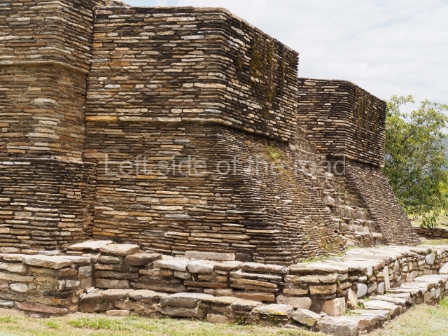
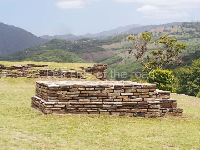
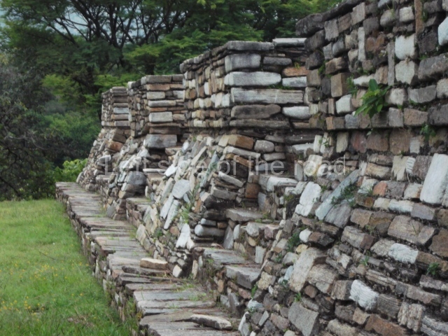
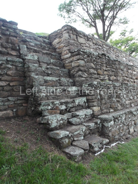
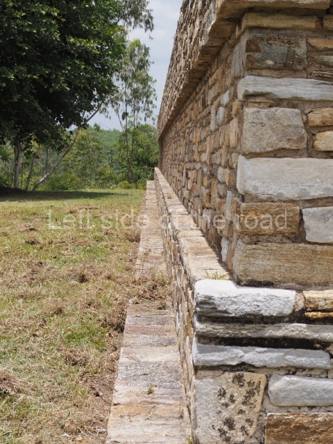
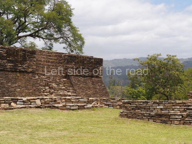
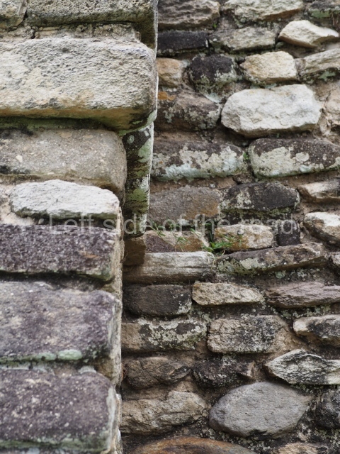
The site is divided into groups designated by the letters A to F, the principal precincts being A, B and C, corresponding to the most important lineages. The other three groups were largely peripheral. Another six groups, smaller in size than the former, are scattered around the edges of the site. In general, the temple structures faced the west, although there are variations, while the platforms supporting the largest houses faced the banks of the ravines. Both the temple structures and the elongated platforms were surmounted by constructions made out of perishable materials. The principal material used at Mixco Viejo was slate or schist for the external face of the walls and a clay and pumice mixture for the filling. The facades of the most important buildings were decorated with stucco and then painted, and in certain cases there must have been murals, although none of these have survived. Even the floors of the ball courts may have been covered by a layer of stucco. The tallest buildings corresponded to the temples – nine in total – some of which stood 8 m high. The most representative were the double temples or twin pyramid platforms, which recall the architectural style of the Mexican plateau during the Postclassic. The elongated platforms that supported the ‘large houses’ can be found in each principal group, forming plazas. These had numerous accesses formed by sloping balustrades with vertical finial blocks. The ball courts were of the closed, I-variety. Wide and extremely long, they were accessed by stairways at both ends. The parallel walls sloped, in the talud style, with vertical finial blocks, and they were lined with benches. The markers, embedded in the top of the walls, were stone carved butts in the shape of a serpent head, with an anthropomorphic head emerging from the open mouth.

Group A

This is situated in the north-eastern section of the site and consists of a series of buildings distributed around two plazas, the most predominant constructions being the elongated platforms. There is a temple platform with a double stairway in the middle of one of the plazas and a sunken ball court in relation to the level of the plaza. One of the plazas contains various small shrines and a series of small platforms for supporting dwellings made of perishable materials.

Group B

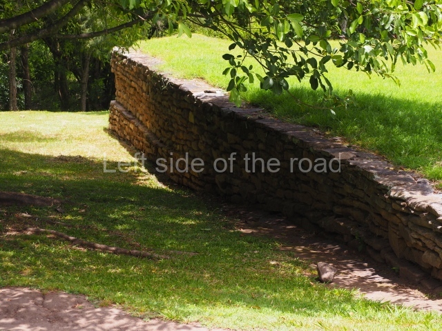
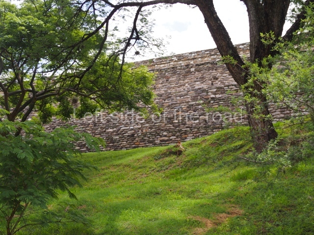
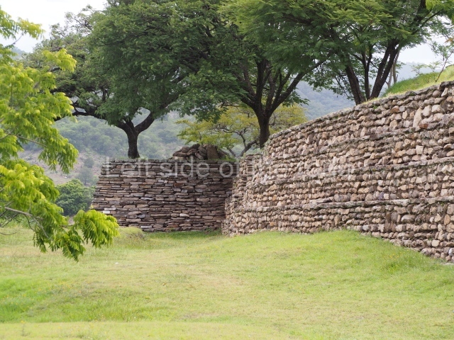
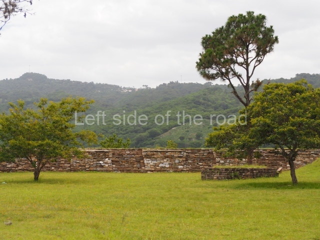
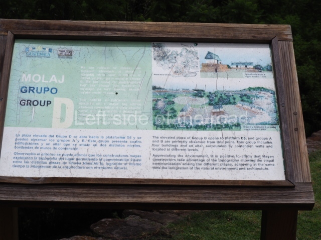
This is situated in the middle of the site on a large plateau surrounded by small ravines. It consists of several structures distributed around a large enclosed plaza which includes twin temples, 6 m high, platforms for palaces or large houses, shrines and another sunken ball court. Larger than the former ball court, this construction is 44.5 m long and 9 m wide between the benches and 17 m at the ends. Except for one platform with four access stairways, the others have only two or a single stairway. Its most outstanding characteristic is a large retaining wall to the south, which reinforced the hill on which the group stands.

Group C

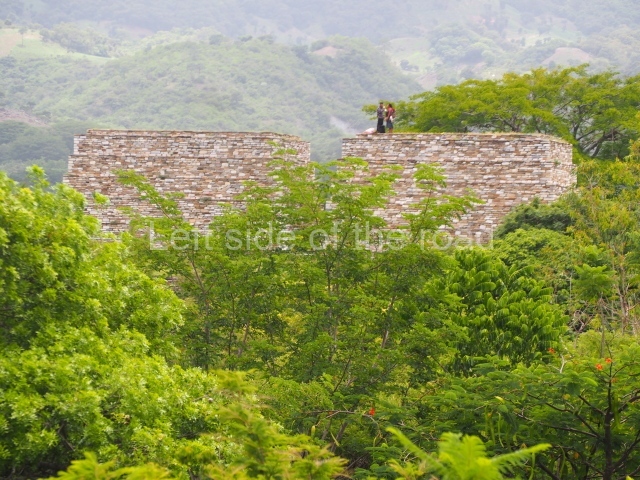
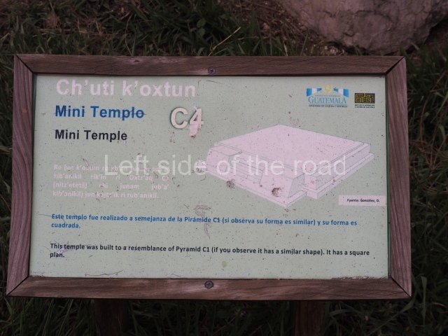
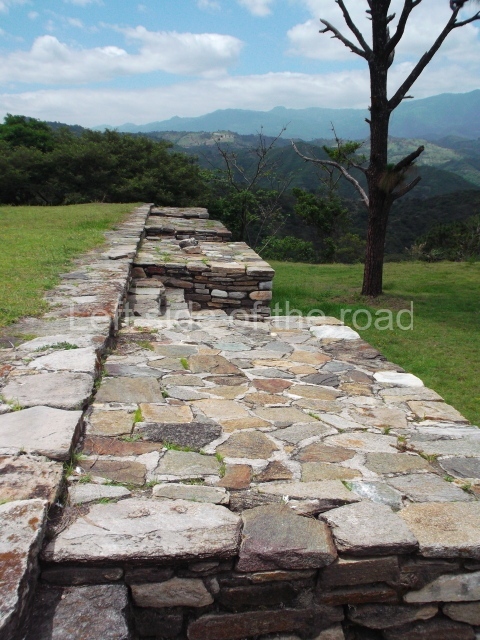
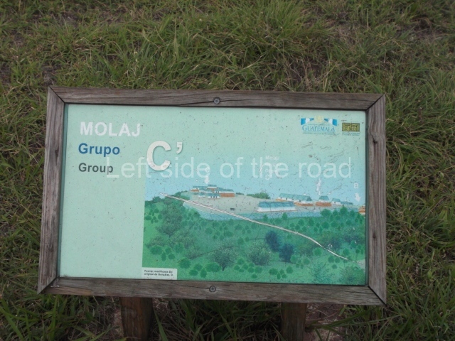
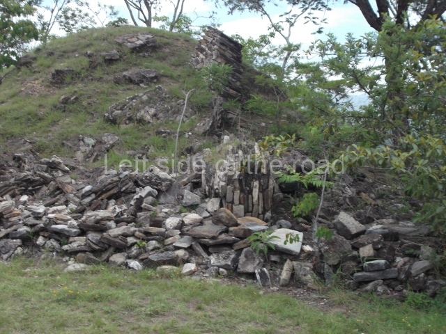
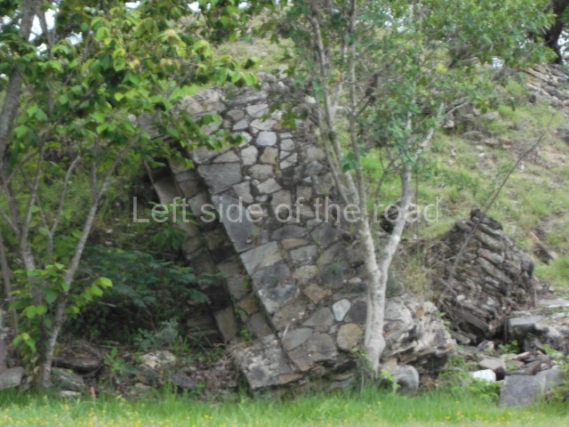
This is situated further west and has an uneven appearance in relation to the former groups. It is divided into two sub-groups of structures which run east-west, the principal constructions being Pyramid Cl, built in several stages and standing 6 m high, and Platform C2. The latter is the largest building at the site, measuring 47×14 m and standing over 4 m high. It is composed of two tiers with several stairways on the top tier. Further to the north, behind this large platform, are various other structures, possibly corresponding to a residential group.

Edgar Carpio

From: ‘The Maya: an architectural and landscape guide’, produced jointly by the Junta de Andulacia and the Universidad Autonoma de Mexico, 2010, pp488-490.

Mixco Viejo

Mixco Viejo

1. Group A; 2. Group B; 3. Group C; 4. Group D; 5. Group E; 6. Ball Court; 7. Double Pyramid.

How to get there;

A bus passes along 1A Avenida at its junction with the PanAmerican Highway in Trébol. This is the starting point for buses to Antigua and other routes heading north. There’s a bus whose destination is Pachalum which passes through at around 09.15 (it might be early or late). Ask the lad who’s there everyday (so he told me) for more information. Q25 each way. There’s a bus which passes the approach road to the ruins returning to Guatemala City at 15.00 and 16.30, more or less.

GPS:

14d 52’ 26” N

90d 39’ 45” W

Entrance:

Q50

More on the Maya