More on the Maya
Quirigua – Guatemala
Location
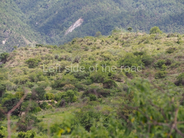
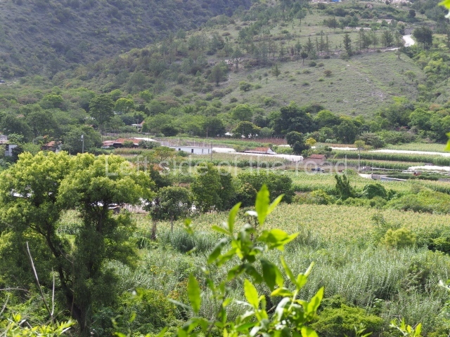
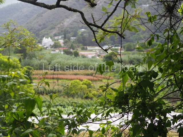
This site is situated in the Izabal department in Guatemala, overlooking the River Motagua which currently flows just over 1 km south of the main group. The Motagua rises in the Guatemalan Highlands, very close to the present-day capital, and flows north-eastwards into the Gulf of Honduras in the Caribbean. Fifty km further south, in Honduras, lies the ancient city of Copan. The site is located in the wide Motagua Valley, barely 70 m above sea level, in an area with perennial rain and heat. By road from Guatemala City it can be reached within three to four hours; from Copan Ruinas in Honduras, it is a two-hour journey. The site lies 4 km from the present-day town of Quirigua, which offers accommodation and food services.
History of the explorations
Around 1910 the United Fruit Company purchased the land on which the site stands, and in fact nowadays it is surrounded by banana plantations. Systematic excavations commenced around 1970 led by Robert Sharer, with the intervention of the University of Pennsylvania Museum and the Guatemalan Institute of Anthropology and History. These ended in 1980 and a year later the site gained World Heritage Status.
Pre-Hispanic history
We know very little about the early days of Quiriguci, founded during the Early Classic, and what we do know has been gleaned from subsequent monuments. The first ruler, known as Tok Casper as his epigraphic record has not yet been deciphered, seems to have acceded to the throne in AD 426 in the presence of the founder of Copan, K’inich Yax K’uk’ Mo’. Indeed, a reference at the latter site mentions that the designation of the Quirigua ruler occurred in the same place where the coronation ritual for Copan’s first ruler had commenced. At the time, the city amounted to no more than a series of scattered groups, mainly situated on a hill overlooking the valley. These early structures are known as Group A. Even less is known about Ruler 2, Tutuum Yohl K’inich, who according to the dedication on a stela acceded to the throne around 455. A third ruler, whose name is illegible, reigned around 480 according to Stela U, found in Group A. This monument, which bears a certain similarity to the stelae found at Tikal, states that the city was under the authority of the ‘kaloomte of the west’, an important title used by some of the Copanec rulers, including the dynastic founder. Stela 26 found in Group 3C-1 mentions rulers 3 and 4 but their identity has not been confirmed; the date shown is AD 493.
There are no more references until 652, and it seems that a severe flood affected the site at the beginning of the 7th century, causing the population to abandon parts of Group 3C. This shifted the site’s centre of gravity to what is now known as the Acropolis. Altar L makes a reference to K’awiil Yopaat, although it does not clarify his position in the line of succession; he li mentioned in connection with an event, again rather vague, and Ruler 12 at Copan. Stela T dates from AD 692 but its text is greatly eroded.
Again, all historical information is lost until the accession of the famous K’ahk’ Tiliw Chan Yopaat, who controlled Quirigua’s fate from AD 724 to 785. The Copan ruler Waxaklajuun Ub’aah K’awiil attests to this governor’s enthronement. K’ahk’ Tiliw Chan Yopaat quickly imposed his power, building the still visible Structure IB-2 at the Acropolis and dedicating altars M and N around 732. However, the key event of his reign, possibly linked with Calakmul, occurred on 27 April 738 when he received the same Copanec ruler who had consented to his own enthronement and then, despite no apparent conflict, sacrificed him six days later. Quirigua celebrated the victory by erecting four new monuments: stelae J, F and E, and Zoomorph G. How could the little kingdom of Quirigua possibly deal such a harsh blow to the powerful Copan? There has been much speculation about the reference to Calakmul, which may have provided some form of assistance, possibly warriors. We know that Calakmul was behind certain conflicts in Peten and the western part, altering the dynasties at cities such as Tikal, Palenque, Naranjo and Dos Pilas. Quirigua may well have united its forces with other subjugated cities, such as the unidentified Xkuy, originally mentioned at Copan as a victim of an attack by the dominant city. K’ahk’ Tiliw mentioned it on his monuments, indicating that he witnessed Sun Jaguar’s accession to the throne in 762. K’ahk’Tiliw appointed himself Ruler 14, and although he may have been referring to Quirigua, we cannot ignore the fact that his most important victim, Waxaklajuun Ub’aah K’awiil, was Ruler 13 at Copan, which may mean that his actions were an attempt to overthrow the dynasty at that site. He certainly claimed various royal titles and gods from what had now become the rival city. In any case, there is incontestable evidence of the radical change in lifestyle at Quirigua, which from that point onwards controlled and benefited from the River Motagua trade route. The population at the site and in the valley grew significantly, although it never reached the same proportions as Copan. Large, exquisitely finished monuments were dedicated. In 746 Stela S commemorated the end of the 9.15.15.0.0 cycle; it was followed by stelae H, J, F, D, E, C and A, which apart from the last two, dedicated jointly, were erected after every 5-year cycle. Some of these are the tallest stelae in the whole of the Maya area. This ruler also introduced the practice of dedicating zoomorphs – in this case Zoomorph B – extraordinary sculptures with a massive volume and intricate design based on the shape of animals such as the jaguar, crocodile, tortoise or earth monster. K’ahk’ Tiliw’s last two stelae address unusual themes for this type of monument, namely the creation of the cosmos over vast periods of time. His long reign ended with his burial at the ’13 Kawak House’, which has yet to be explored.
He was succeeded on 11 October 785 by Sky Xul, who supervised his predecessor’s funeral and recorded the event on his monument, Zoomorph G, that same year. Again, every five years this ruler would build a zoomorph, such as O and P, which were placed with their respective altars in the Ball Court Plaza. These magnificent, intricately patterned pieces combine animal figures with rulers and many different motifs, as well as texts on panels. The information, some of which is illegible, refers to mythical and ritual events and historical aspects such as the ruler himself and, naturally, Copan and the ill-fated Waxaklajuun. He probably also dedicated altars R and S, which are not dated, and he must have inaugurated buildings IB-3 and 4 at the Acropolis. His reign ended some time after 795. By AD 800 a new ruler was on the throne and had begun dedicating his own monuments. He was known as Jade Sky and governed for just over 10 years. His first monument was Stela 1, which once again refers to the decisive event with Copan in 738, and in 805 he dedicated Stela K; both of these monuments are small and relatively insignificant compared with the colossal stelae of earlier days. This ruler is also attributed with structures IB-5 and 1, the largest at the Acropolis; the latter had a long epigraphic inscription on the facade and on the benches inside the rooms. The text dates from 810 and makes reference to Ruler 16 at Copan, who appears to have attended the ceremony at the end of Katun 9.19.0.0.0. Perhaps, as at other sites in Peten, the now exhausted Classic Maya culture obliged the former powerful elites to join forces when conducting their propitiatory ancestral rites.
Quirigua was abandoned a few years later but there is evidence that new settlers occupied it for a short time before it was finally abandoned around AD 900. These settlers left cultural marks alien to the region, as manifested for example in the Chac Mool sculpture, and we do not know if they came from the plateau or from Yucatan.
Site description
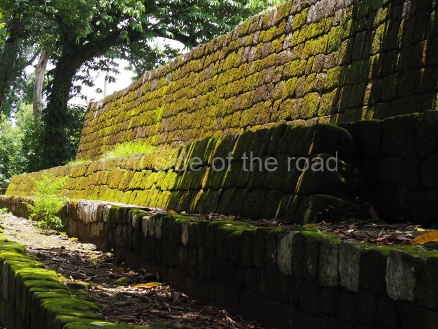
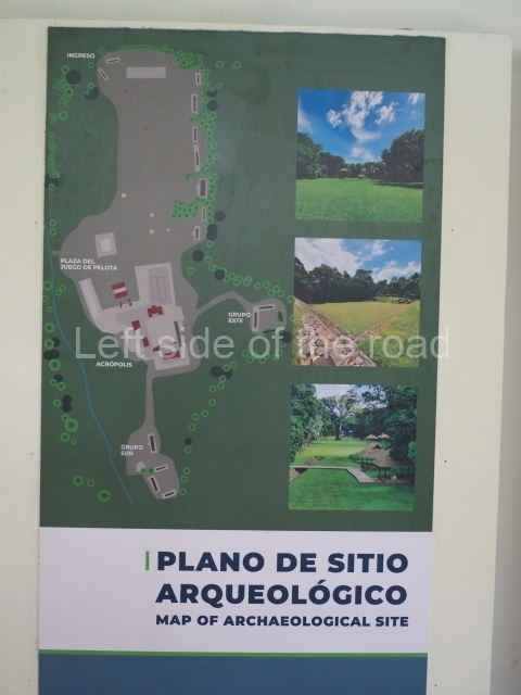
Quirigua does not have a large number of structures and archaeologist have in any case only consolidated – and exposed – a few of them. The site has two main groups: 1A and IB. The first encompasses the Great Plaza, the structures along its north and east sides, and Building 1A-11 to the south-west; the second is composed of the Ball Court, the Acropolis, the East Group and the South Group. There are several other, slightly more distant groups: Group A, approximately 3.5 km to the west; Group 3C-7 north of the archaeological area; Group B, just over 1 km to the west; and Group C situated between the present-day towns of Quirigua and Los Amates. Of all these groups, the Acropolis is the most outstanding in terms of quantity of architecture exposed and consolidated.
Great plaza.
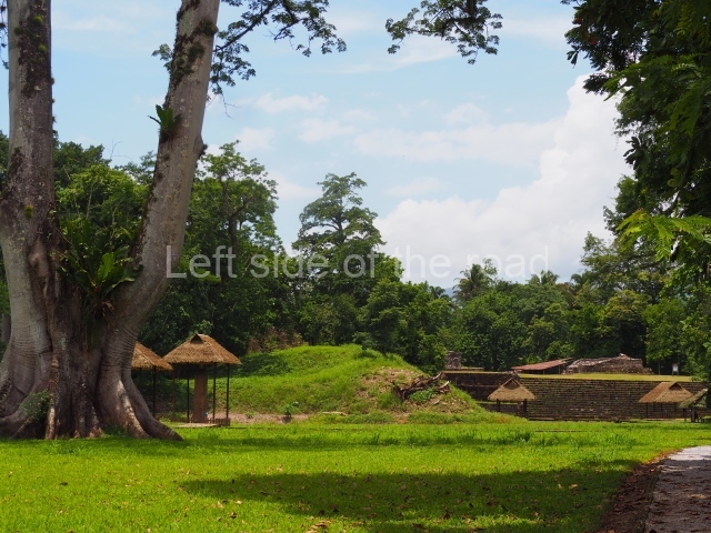
This extraordinary space measures 300 m north to south and approximately 200 m east to west, with a path running along one side. It is the largest plaza in the Maya area; only the one at Yaxha, measuring 200×200 m, comes anywhere near it. It is composed of a space known as the North Platform, where stelae A, C and D and Zoomorph B are located. Further south but still on the North Platform it is possible to see the imposing stelae E and F, as well as Zoomorph G. Situated on the south-west side of the plaza is Stela H, and then further towards the middle of this spectacular space are stela I, J and K. The southern part of the plaza is delimited by the eastern tip of a great U-shaped platform with structures of varying sizes at its ends.
Ball court plaza.
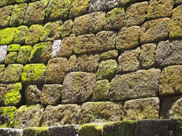
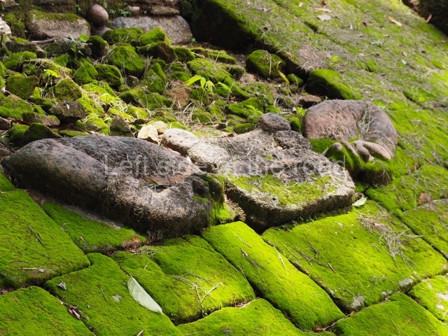
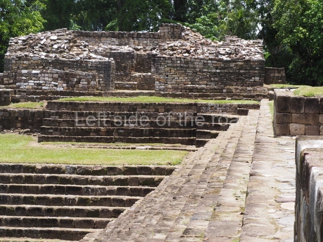
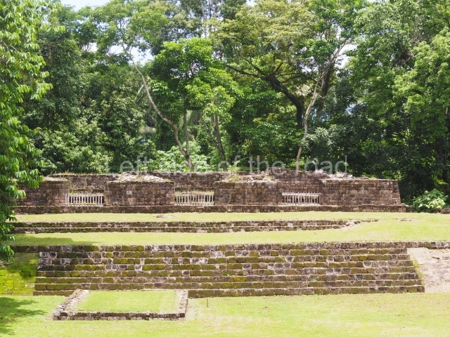
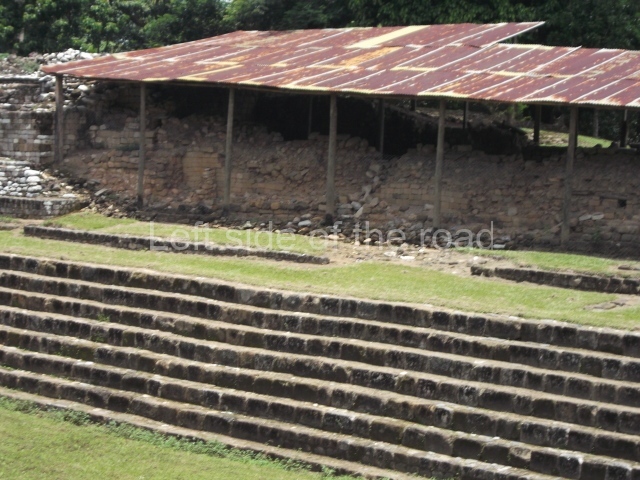
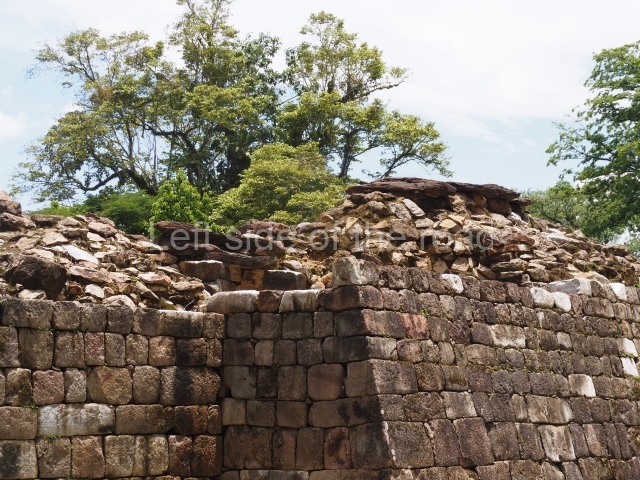
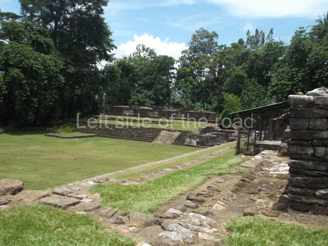
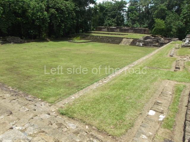
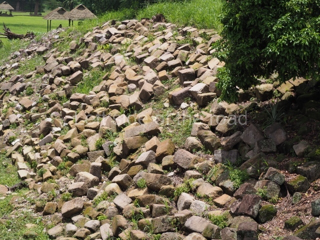
This plaza contains Structure 1A-11 along its north side and the Acropolis on all the remaining sides, although the north-west and north-east corners are devoid of structures and therefore open. Situated in the middle are the parallel structures typically found in ritual ball courts. Altar L and zoomorphs P and O, with their respective altars P and O, surround the court. The latter has not been exposed and the only things visible are the two parallel mounds. However, to the east and south it is possible to see a broad stairway that may have served as a seating area for spectators, made up of elongated sections of megalithic blocks. The west sector has only been partly exposed, while the south section is made up of smaller blocks that serve as steps leading to the Acropolis Plaza. Situated at the intersection of the two sections are various vertical platforms, some of them typical of the region, with bands of moulding across the top. There is another, lower platform to the west which provided a U-shaped seal around the space that accommodates the ritual ball court. The steps at the south end lead to the large platform preceding the Acropolis.
Acropolis.
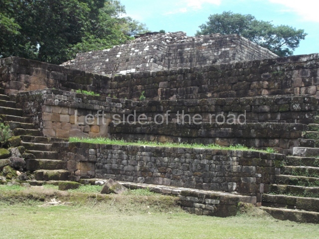
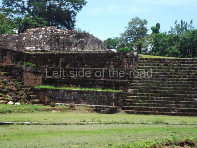
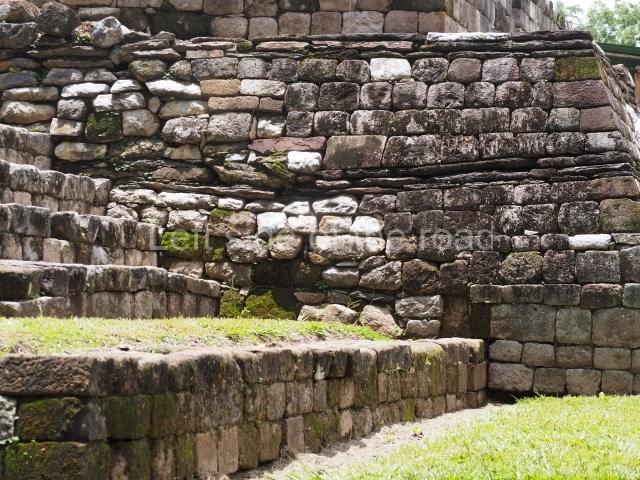
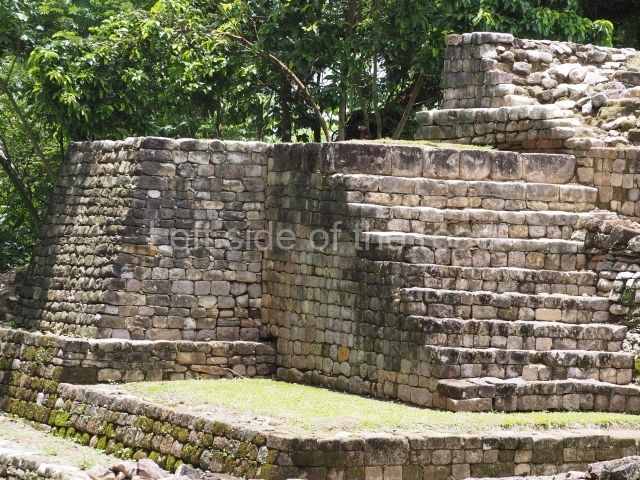
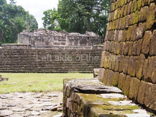
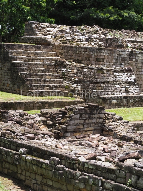
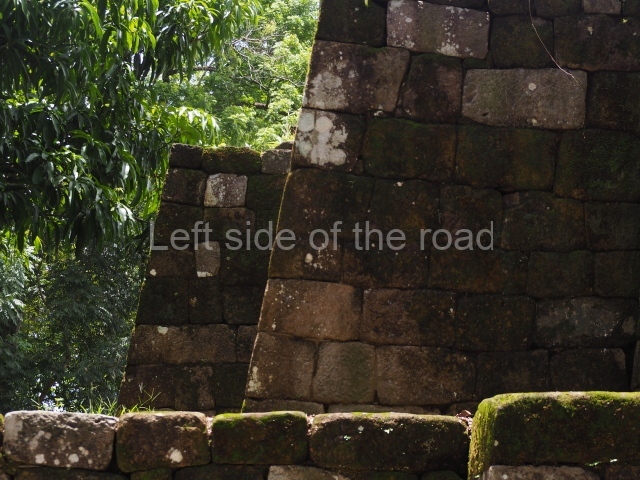
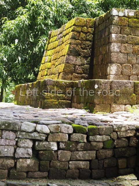
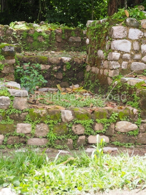
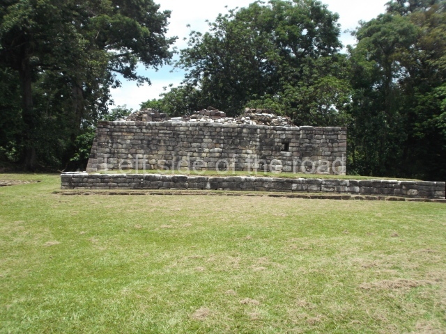
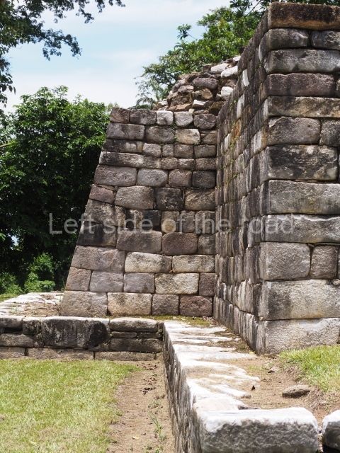
Constructed in four stages, today only the last buildings that buried the previous structures are visible. There are seven structures in total arranged around a large central court: IB-1, IB-2, IB-3, IB-4, IB-5, IB-6 and IB-18. All of them contain rooms, which nearly always lead off to lateral or rear chambers, again all interior. This pattern is typical of the region and is defined by a unique characteristic: the entrance leads to the central rooms and from these to the corridors leading to the secondary rooms. At Copan and other sites the entrance leads to a preceding space and then to the main room at the rear and finally to the lateral rooms. This preceding space is not present at Qulrlgui, where the rooms lead first to corridors and then to lateral or rear rooms. All the buildings have thick lateral and central walls, and occasionally even buttresses, which suggests a deliberate response to frequent earthquakes (the area sits immediately on top of a geological fault).
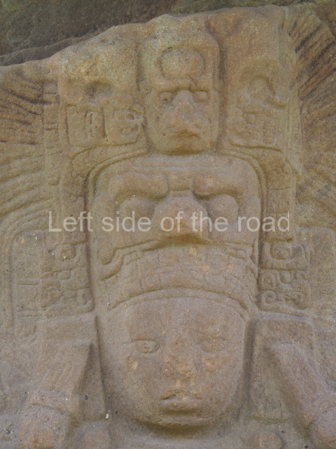
Structure IB-1 is elongated and has three entrances leading to the same number of rooms. The central one has two interior lateral chambers, while the lateral rooms have only one additional chamber. The fagade of this structure was once ornately decorated with masks of deities, including one of the Maize God. A glyphic band also ran around the top of the structure and continued on the benches inside the three rooms. The text refers to the dedication of the temple in AD 810, to probable deities from the remote past and also the last great ruler at Copan, Yax Pasaj Chan Yoopat.
Building IB-2 is one of the lowest structures and was erected soon after 720 by K’ahk’ Tiliw Chan Yopaat, prior to liberation from Copan. Its design includes a corridor that runs behind the first room to three smaller rooms and along the right side to another L-shaped room. The exterior was decorated on all four sides by representations of upper jaws and eyes, recreating the earth monster that can also be seen on Temple 22 at Copan.
Building IB-3 from the late 8th century AD, perhaps an elite residence, displays traces of red paint. Structure IB-4 has external benches that also served as buttresses. One of the interior corridors led to a flight of steps up to the top of the structure where surveillance activities were conducted – the Motagua, used to transport goods, originally ran along this side of the Acropolis. Situated between both structures are the remains of a wall whose external face was once decorated with sculptures of the Sun God.
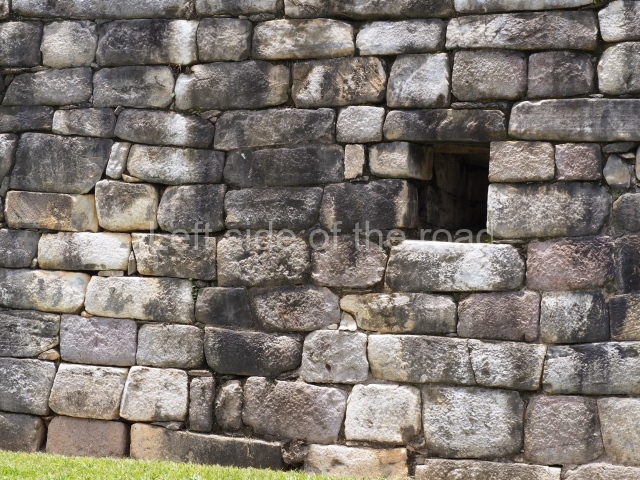
Structure IB-5, the largest of all, was probably an elite residence and was built just after AD 810. It has windows on its lateral and front facades, and is distinguished by an unusual characteristic: its platform projects forwards to shelter the entrance, forming a U-shape. This characteristic can also be seen on Structure 10L-22 at Copan and on Building 204 at El Puente.
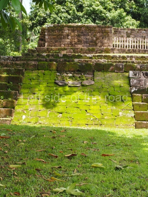
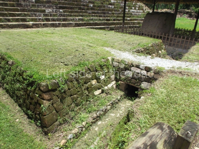
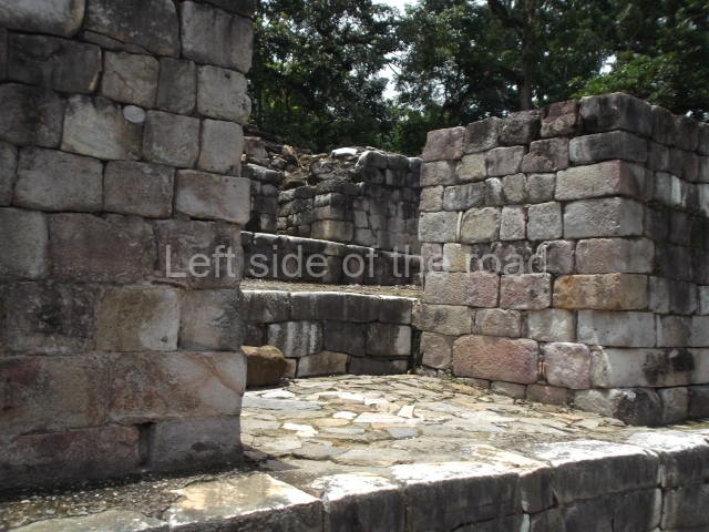
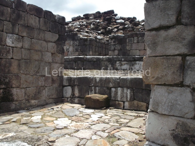
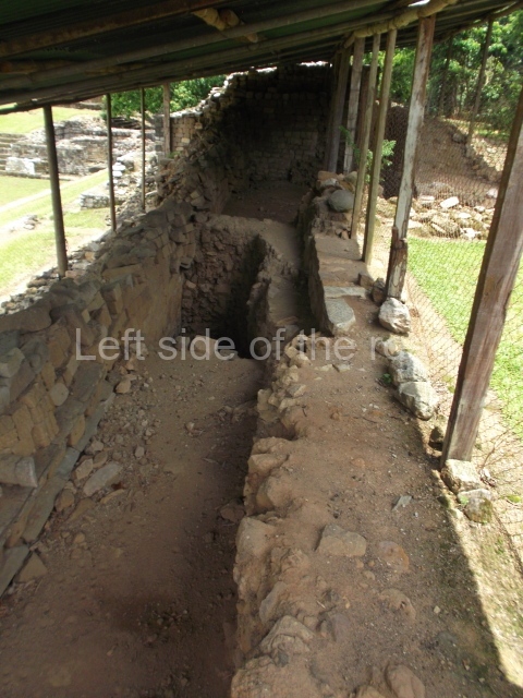
The Acropolis Plaza is sealed by stairways to the north and west; at the south-west corner a drainage channel runs under Structure IB-2. There is another large seating area to the south with balustrades running down the sides, just before the ends. Recessed to meet the inner angles of the steps, as again can also be seen at Copan and El Puente, the balustrades display reliefs of a local dignitary with his arms pressed against his breast. The head has been lost and we therefore do not know who the figure represents. A small, low, quadrangular platform is visible to the south-east, next to the south stairway. The west side of the plaza is sealed by a very low platform with remains of Temple IB-18, an adobe structure that collapsed over the body of an infant, and whose north side overlooks Structure IB-6.
Monuments
These are some of the most important monuments at Quirigua.
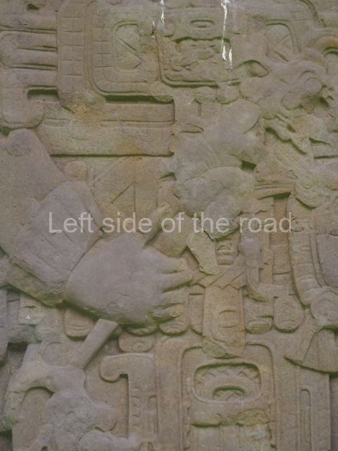
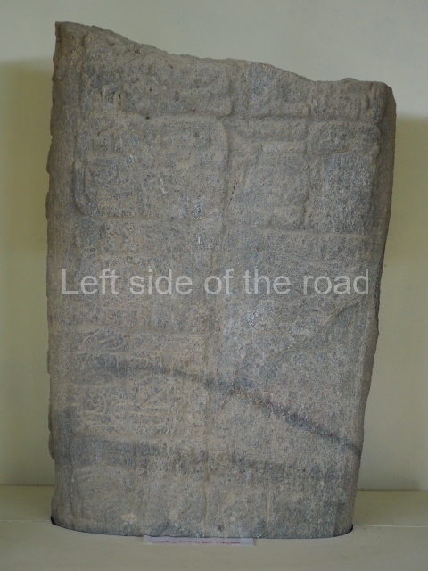
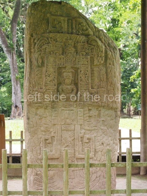
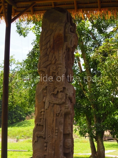
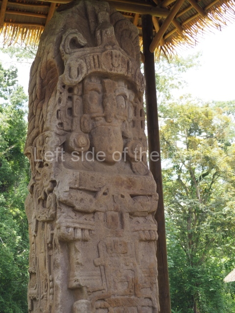
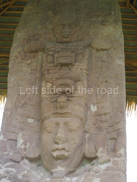
Stela U (c. AD 480). Found in Group A, this is the oldest monument at the site and indeed has one of the earliest Long Count dates outside Peten. The Long Count is expressed up to the tuns, omitting the uinals and kins, and then transfers to an inverted Calendric Wheel. Greatly damaged at the front, the sculpture is an example of the continuous relief commencing on the back and continuing to the sides; this wrap-around style is associated with Tikal in Peten, and here at Quirigua can be appreciated on nearly all the stelae.
Stela 26. The front shows Ruler 3 holding a double-headed ceremonial bar.
Altar l. On this coarsely executed monument the Ajaw glyph is expressed through the attributes of the figure of a ruler. This is a strange variant because the Ajaw symbol is usually shown alone, dominating the central image.
Stela H (AD 751). The main face shows K’ahk’ Tiliw Chan Yopaat without a beard and holding a double-headed sceptre. The rear face has glyphic text relating to the dedication, shown on a type of diagonal mat not unlike – albeit inferior to – the text on Stela J at Copan. The overall quality is poorer than later examples of the ruler.
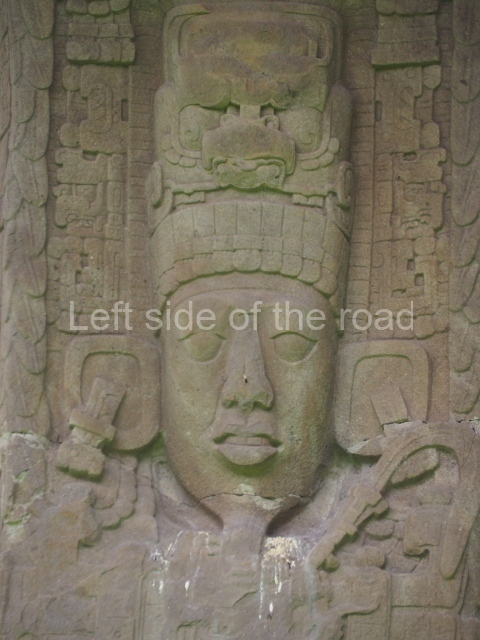
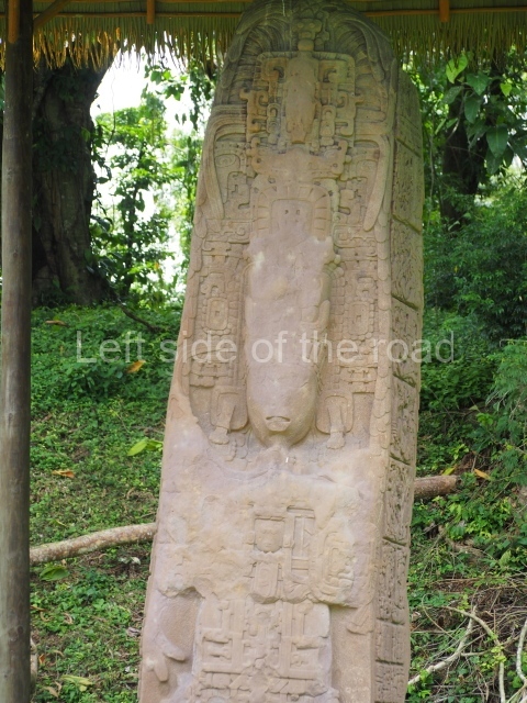
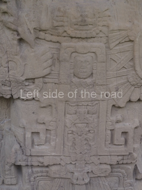
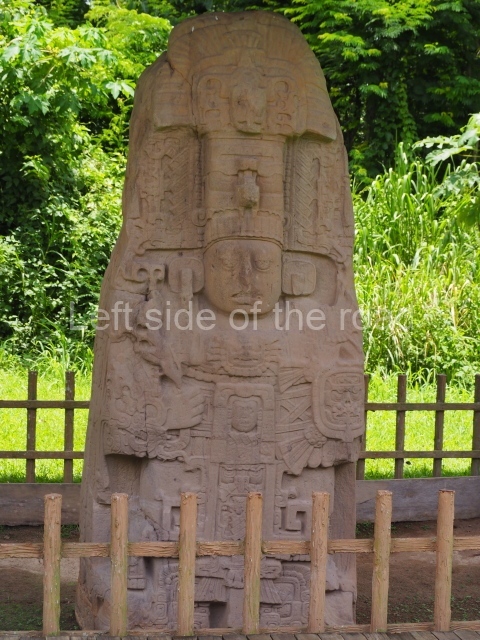
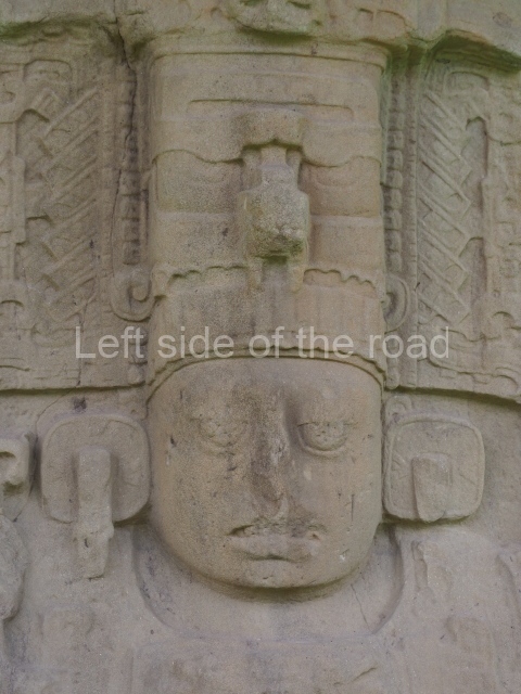
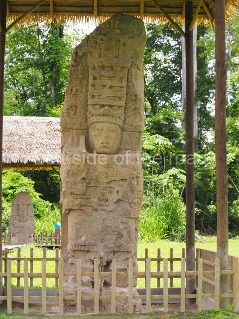
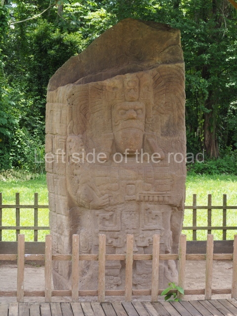
Stela J (AD 756). A 5-m-tall stela showing K’ahk’ Tiliw on the mask of a deity. The text on the lower halves of the sides and rear mainly refers to the extraordinary capture and sacrifice of Waxaklajuun Ub’aah K’awiil, Ruler 13 at Copan.
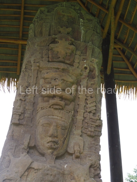
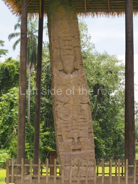
Stela F (AD 761). Over 7 m tall, both the front and back of this stela depict K’ahk’ Tiliw on masks of deities. The texts on the sides refer to the dedication of the monument and a historical account commencing with this ruler’s accession to the throne and ending with the capture of the Copanec ruler Waxaklajuun U’bah K’awiil.
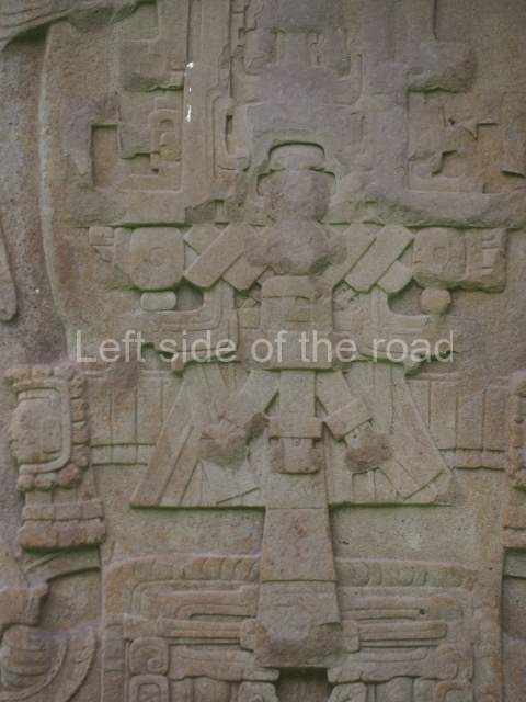
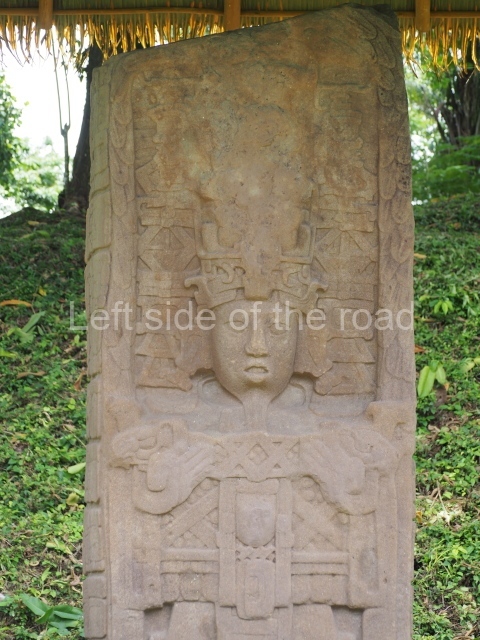
Stela D (AD 766). Both faces of this 6-m-tall stela show K’ahk’ Tiliw at cosmic events; he holds the sceptre of God K, one of whose legs shows a serpent. Here the ruler is shown on masks of gaunt deities.
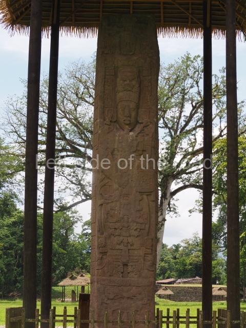
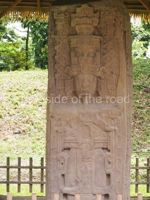
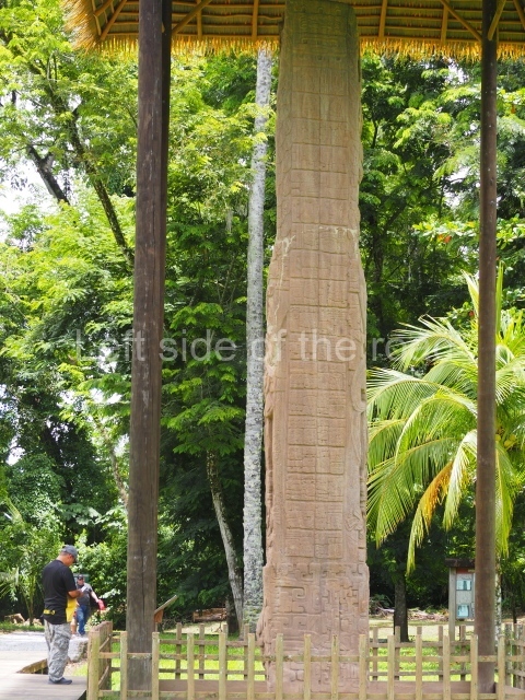
Stela E (AD 771). This is the tallest stela of the entire Maya culture, measuring 10.6 m in height and weighing approximately 65 tons. Like the former monuments, its main faces represent K’ahk’ Tiliw holding a small shield and the sceptre of God K. There are masks of deities at the base. The texts refer to the celebration of the end of the 9.17.0.0.0 period, which the stela commemorates, and to the events of his reign.
Stela C (AD 775). The south face shows K’ahk’ Tiliw Chan Yopaat sporting his unusual beard and holding a sceptre with jaguar heads at both ends. On the other side, a god performs a dance; in his hands, two cords intertwine, their ends stretching to the top and downwards to other deity heads. The texts on the sides hold great significance: the first one, on the east side, refers to the myth of cosmic creation from three stones, an event revived by one of the ruler’s ancestors. Stela A was dedicated on the same date; one face depicts Kahk’ Tiliw and the other a dancing deity with jaguar feet. The texts on the sides mention the dedication of the monument and ceremonies involving deities.
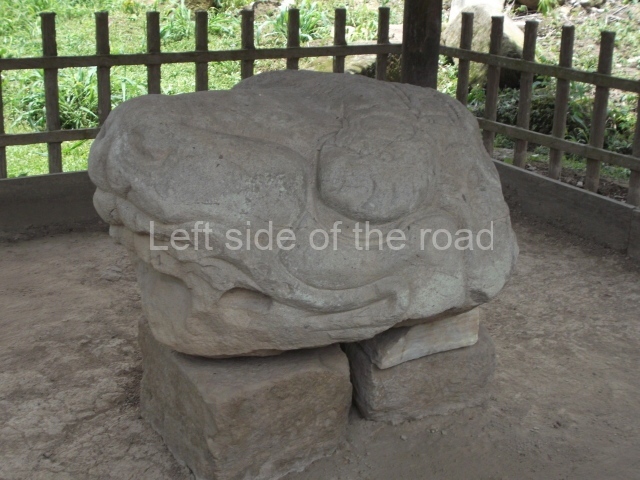
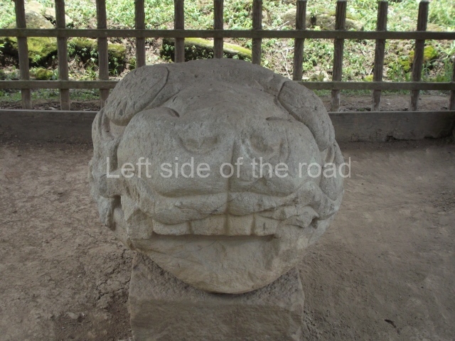
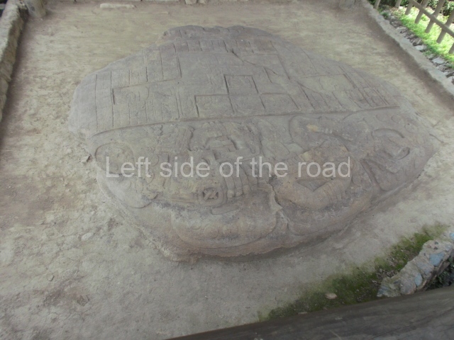
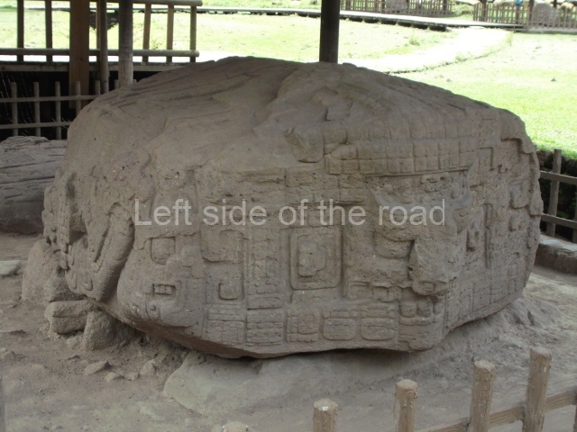
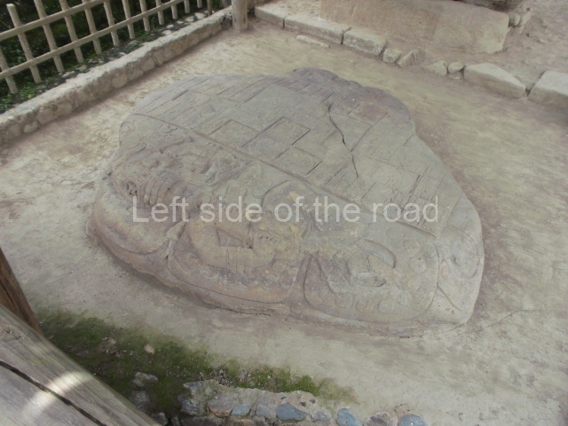
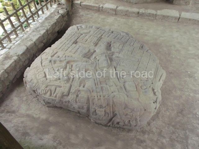
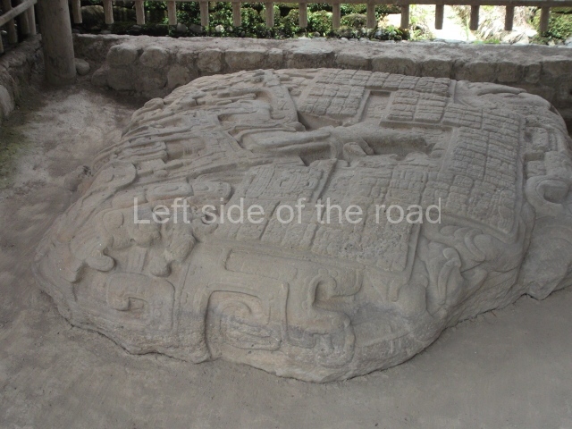
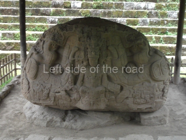
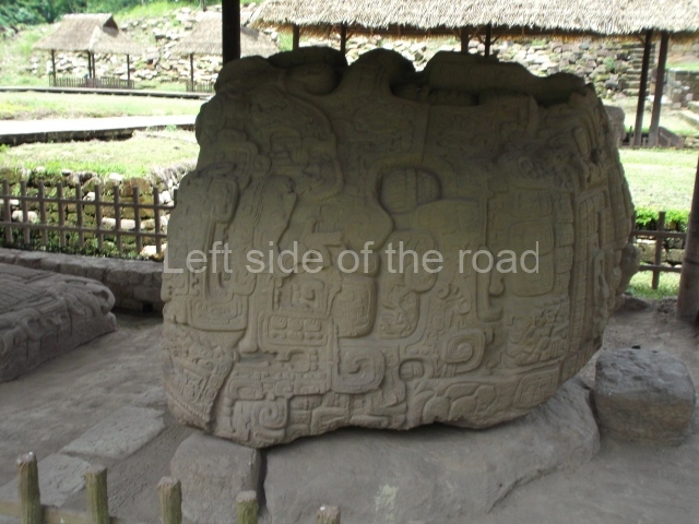
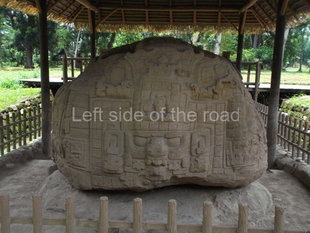
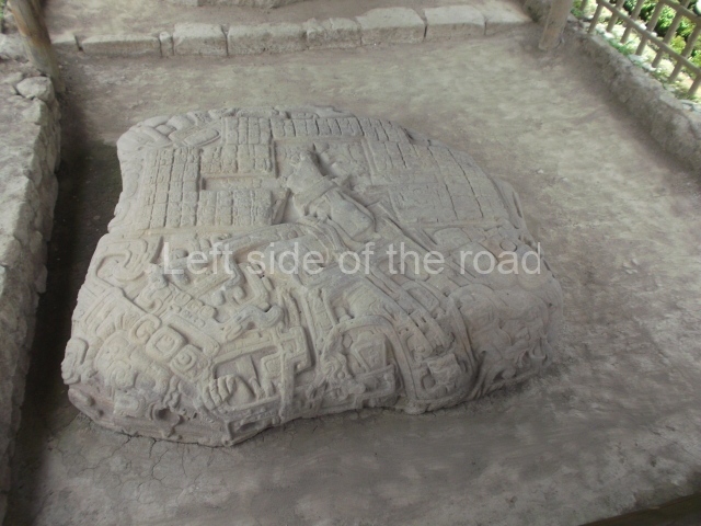
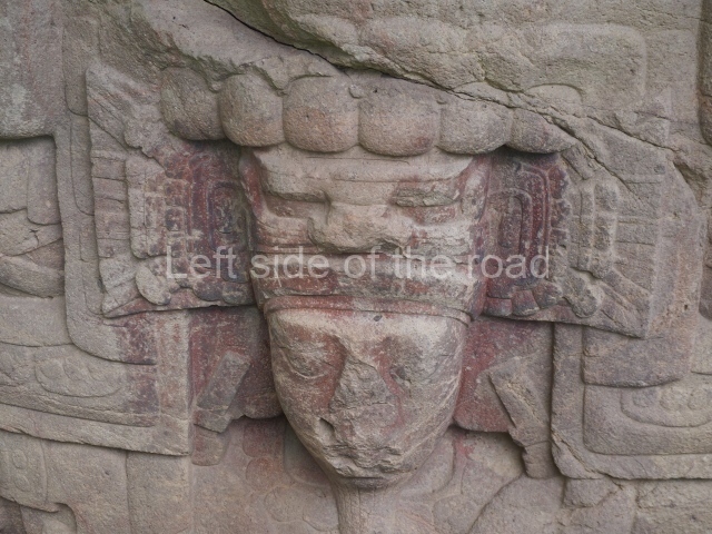
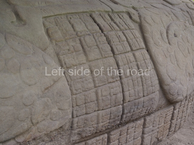
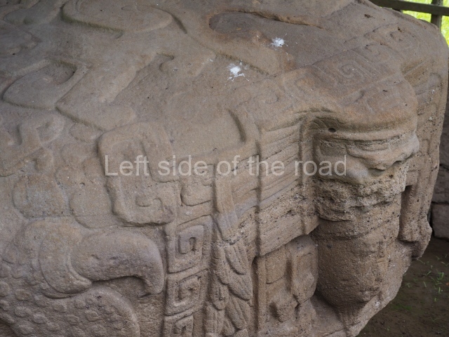
Zoomorph B (AD 780). This shows K’ahk’ Tiliw emerging from a crocodile’s mouth, on what appears to be a throne. The text relating to the dedication of the monument is expressed in unusual full-figure glyphs.
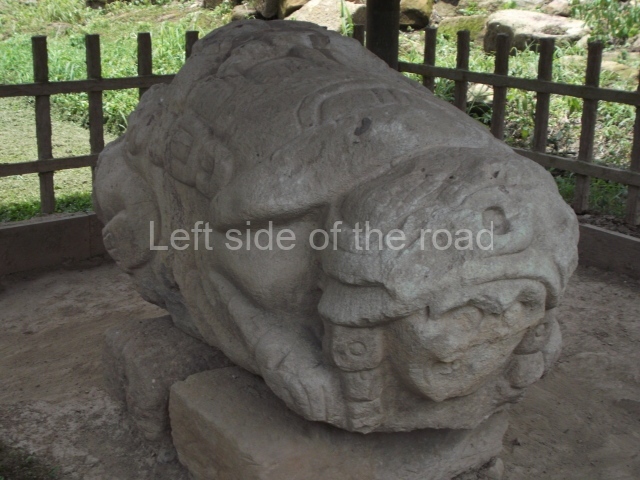
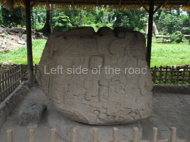
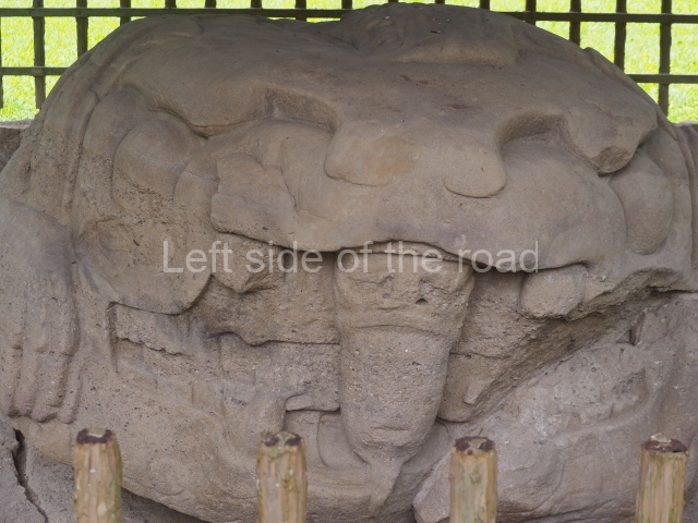
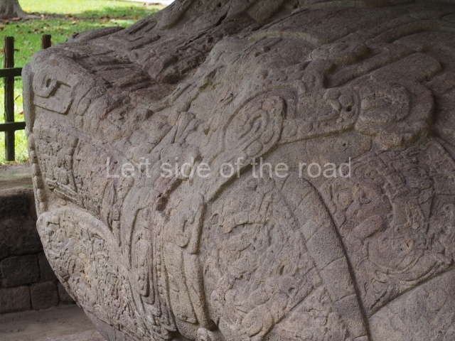
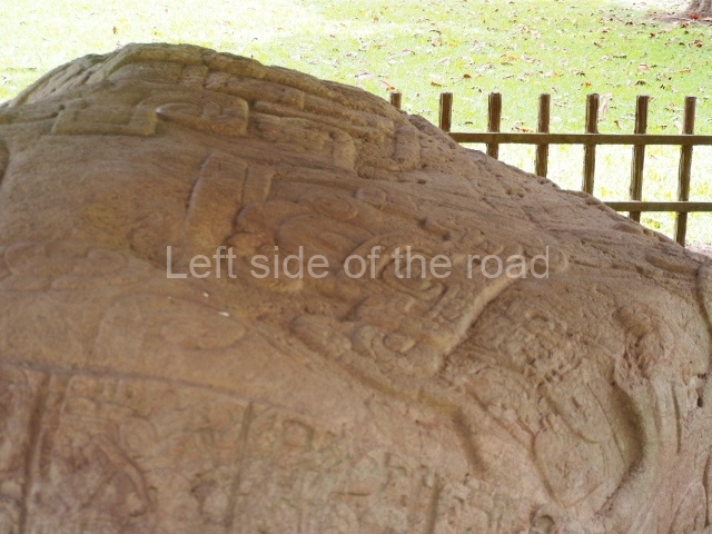
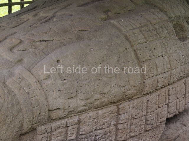
Zoomorph G (AD 785). This adopts the form of a crouching jaguar holding Sky Xul in its mouth. Between the different parts of the animal’s body are panels of text detailing events associated with K’ahk’ Tiliw, such as his accession to the throne, funerals and the decapitation of Ruler 13 of Copan. It also mentions Sky Xul’s accession.
Zoomorph O and Altar O (AD 790). These were dedicated by Sky Xul. The first is in the shape of an alligator, while the second shows Chaac, the God of Thunder, in a ritual dance between volutes and clouds; the text refers to the ruler’s accession and his alliances with Xkuy
Zoomorph P and Altar P (AD 795). These magnificent monuments were dedicated by Sky Xul. A cosmic crocodile with the seated ruler emerging from its mouth is the principal image of the first one; at the top and on the rear face are masks of deities with cartouches alluding to divinities and mythological creatures. The glyphic text is inscribed in cartouches and quadrangles that blend with the sculpture; although partly damaged, the text is relatively long and describes the dedicatory event, mythological episodes and the accession of Ruler 1 of Quirigua, whose name has yet to be deciphered. The altar shows the god Chaac and a bird, while the glyphs make reference to cosmogonic and historical events.
Stela I (AD 800). This was commemorated by Jade Sky who is represented with a spectacular feather headdress stretching round to the back of the sculpture. Much smaller in size, it stands a mere 4 m tall, seeming to compress the extravagant forms of its predecessors. The text alludes to the dedication of the monument and to the Copanec ruler Waxaklajuun, and also contains a highly significant reference to Calakmul as a party to the conflict.
Stela K (AD 805). Not unlike the previous one, this monument shows Jade Sky on the front and back, in one instance holding the double-headed ceremonial bar and in the other the small shield and sceptre of God K. The text refers exclusively to the dedication of the monument.
Importance and relations
In its early days, this site had links, primarily stylistic, with Peten and Tikal in particular. For most of its history is was tied to Copan and from just after AD 400 until 738 it controlled the Motagua trade route for the Copanec lords. Thereafter it took charge of its own fate, apparently with help from the distant Calakmul. The city of Xkuy, as yet unidentified but almost certainly located in the Motagua Valley, paid homage and fealty to Quirigua, and after it gained independence from Copan the site experienced considerable development.
Site Museum
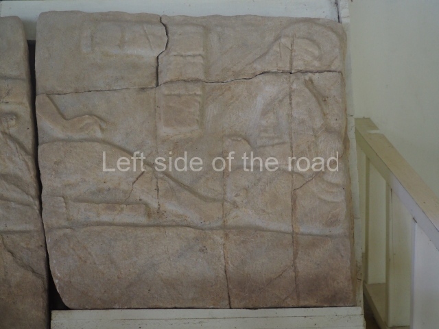
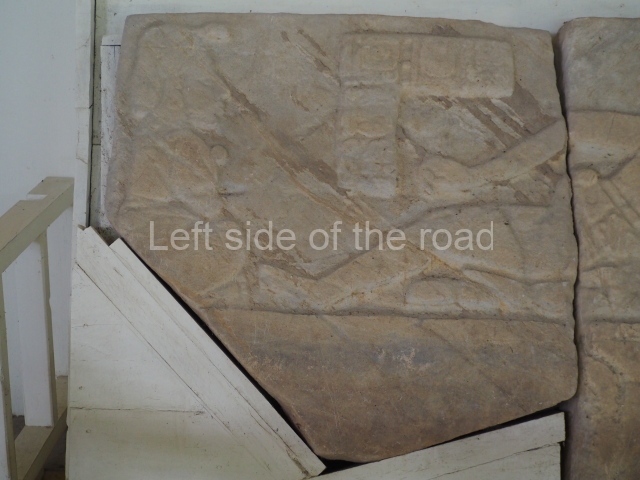
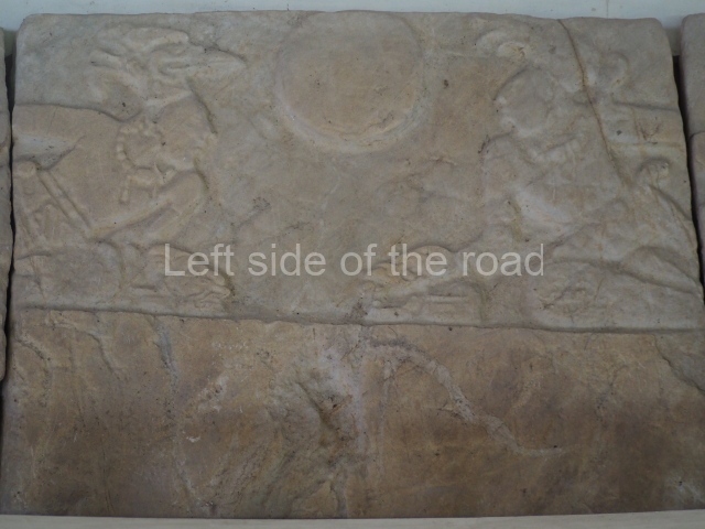
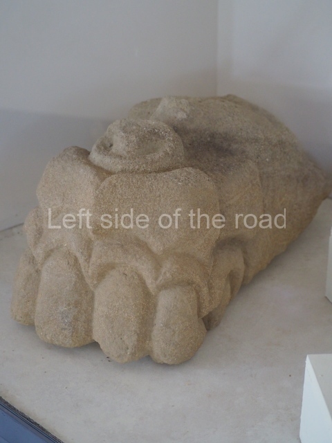
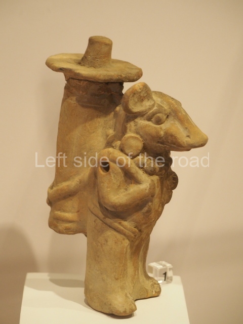
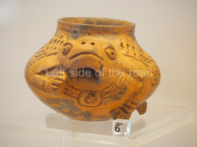
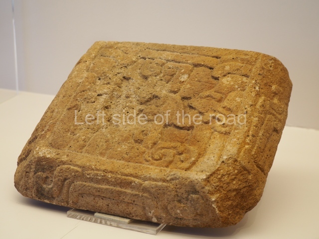
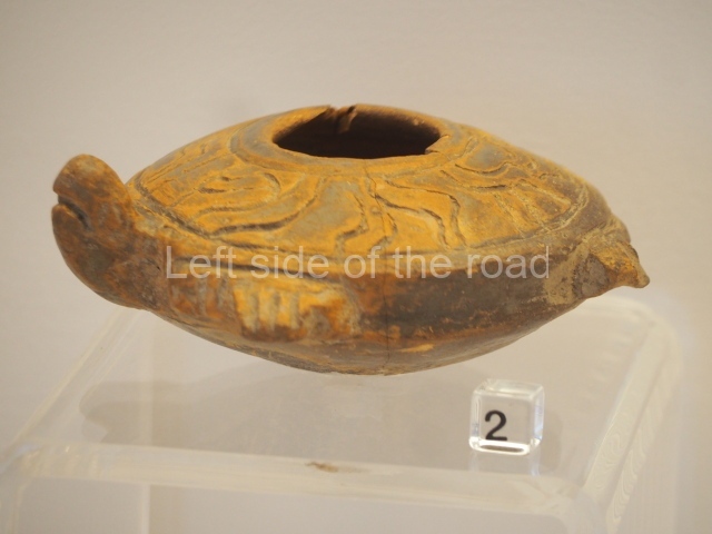
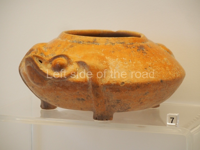
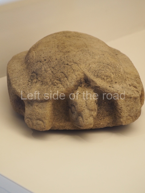
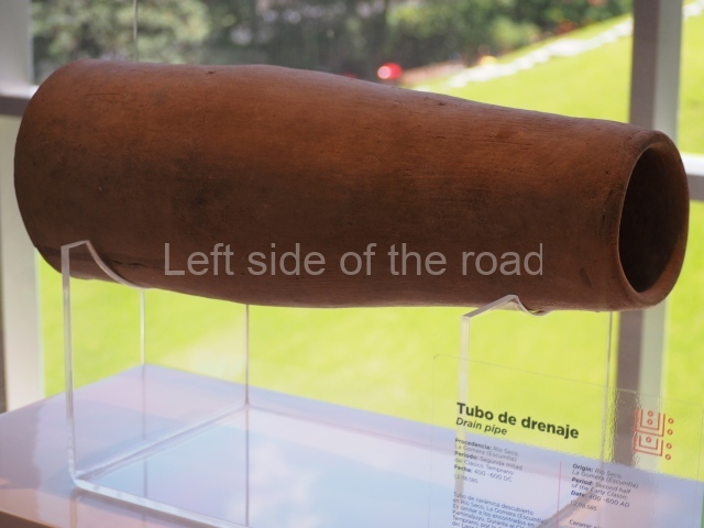
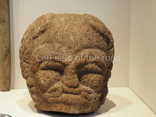
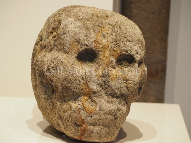
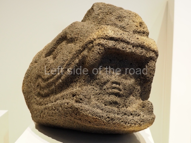
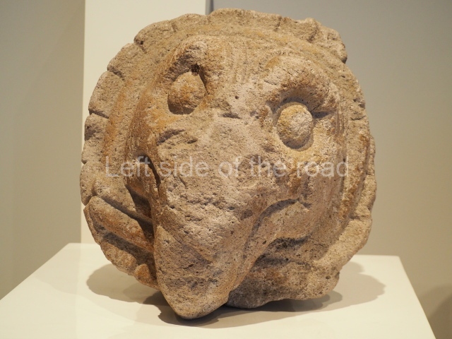
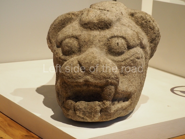
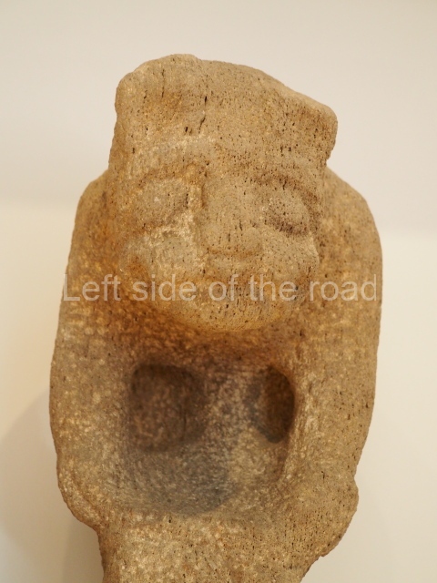
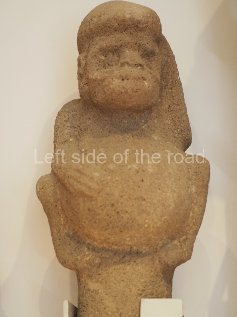
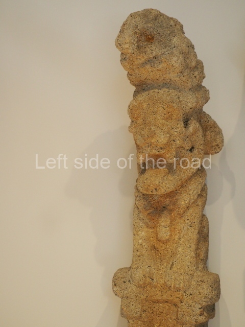
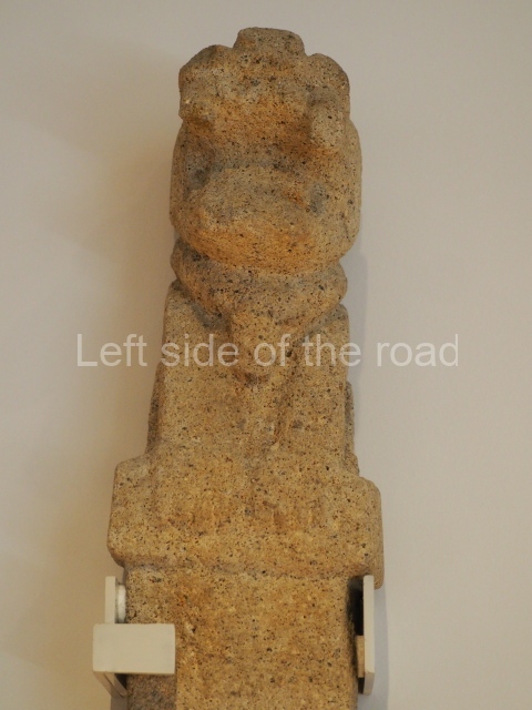
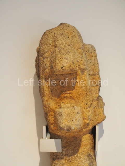
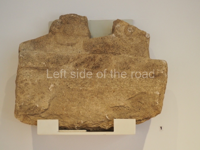
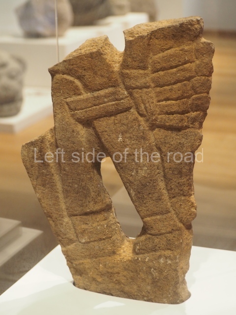
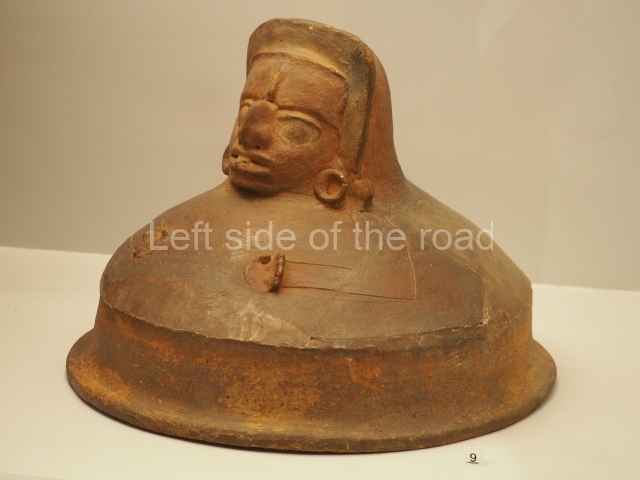
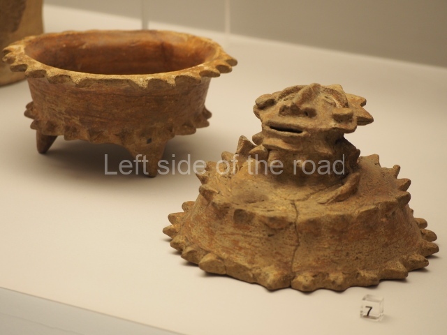
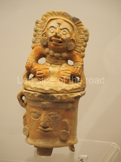
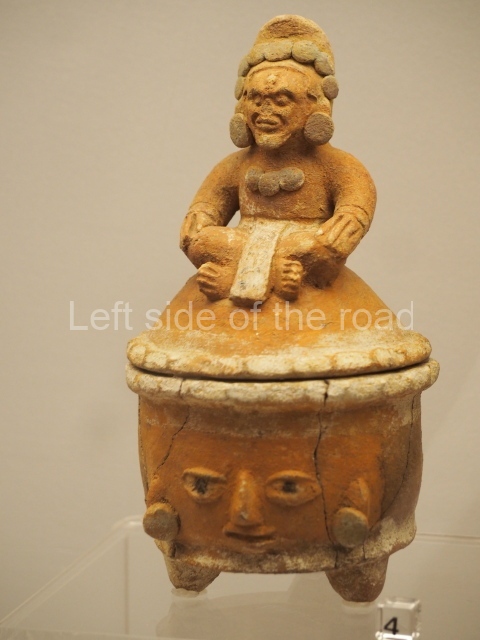
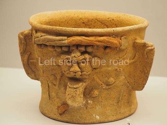
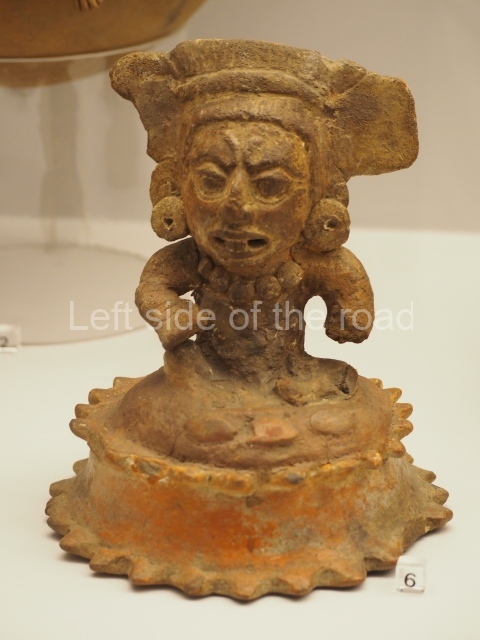
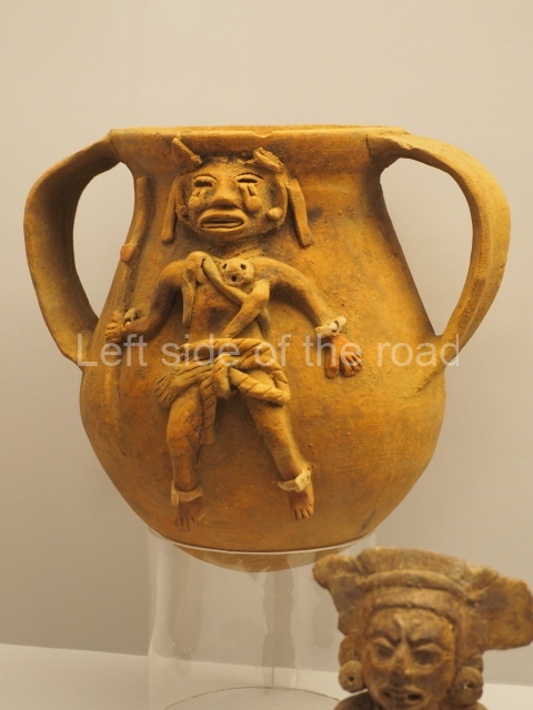
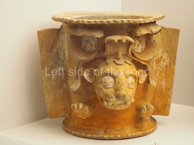
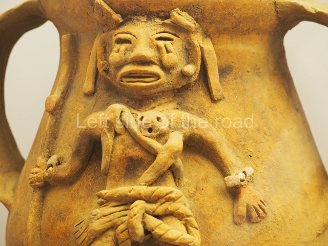
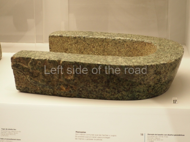
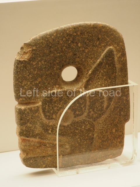
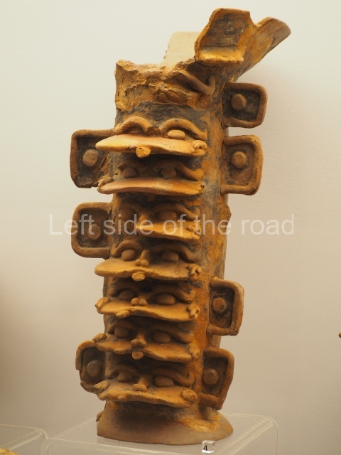
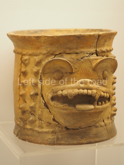
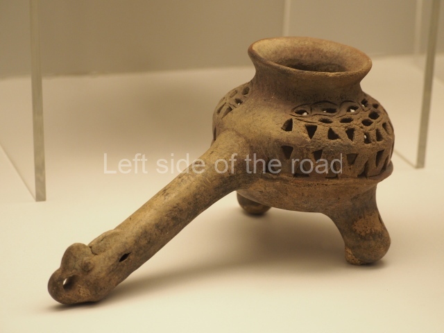
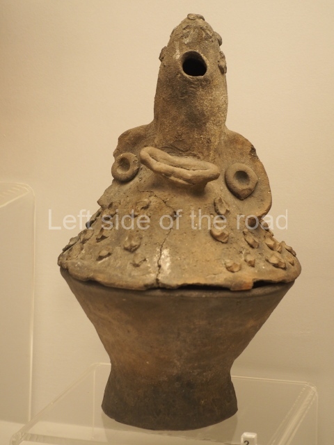
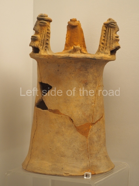
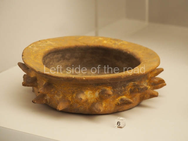
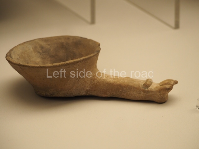
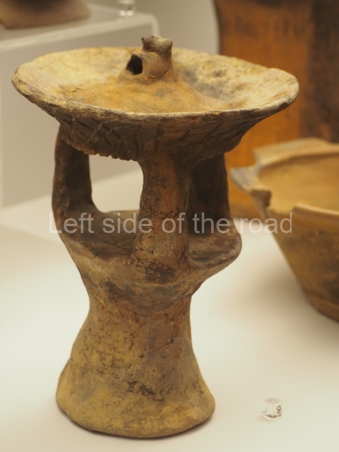
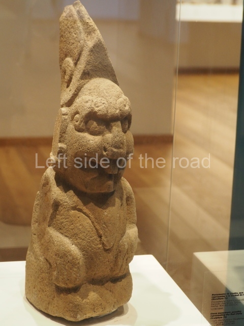
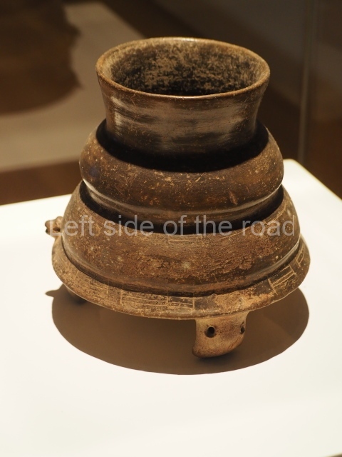
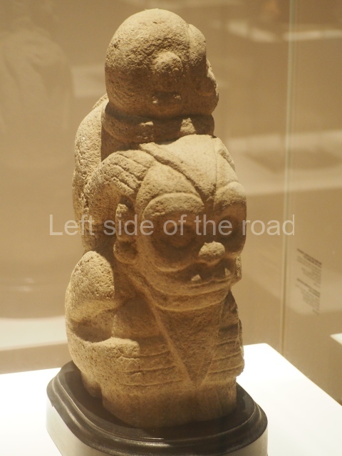
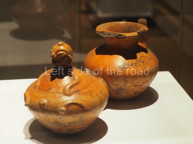
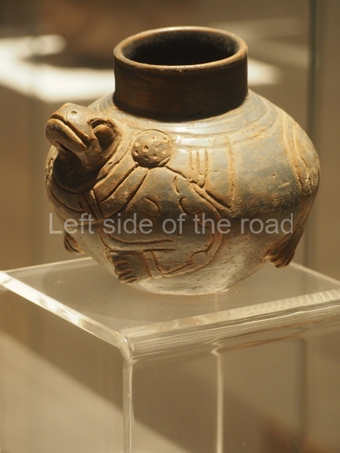
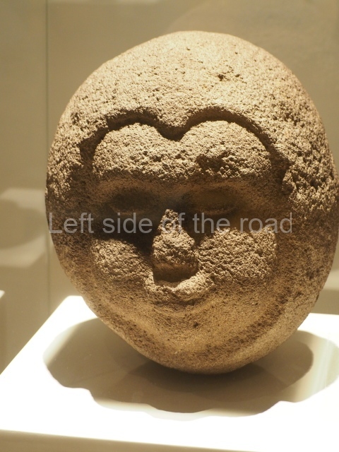
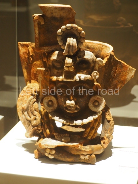
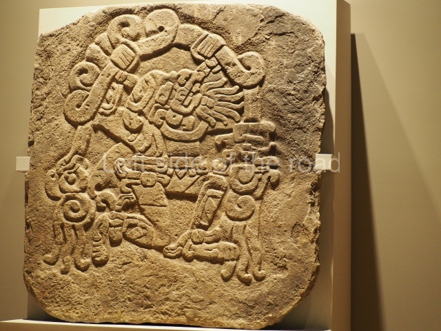
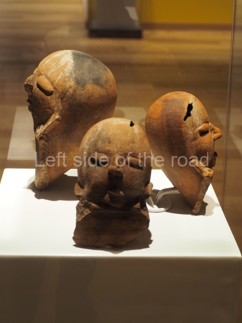
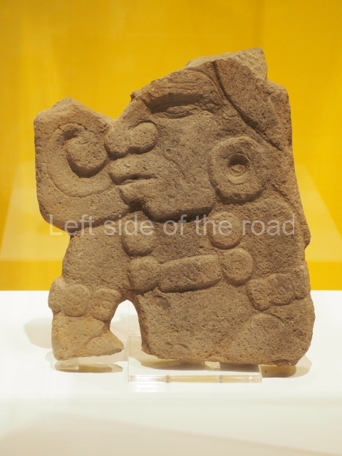
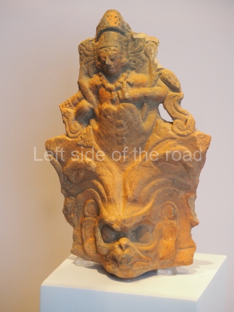
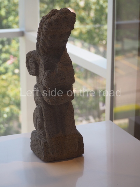
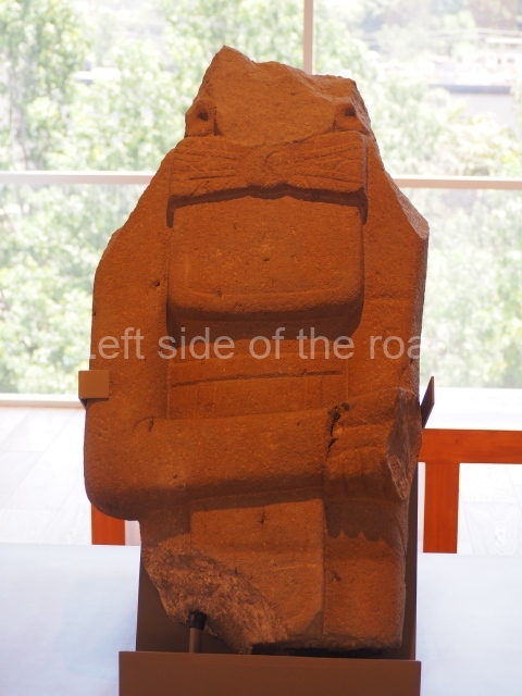
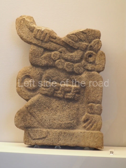
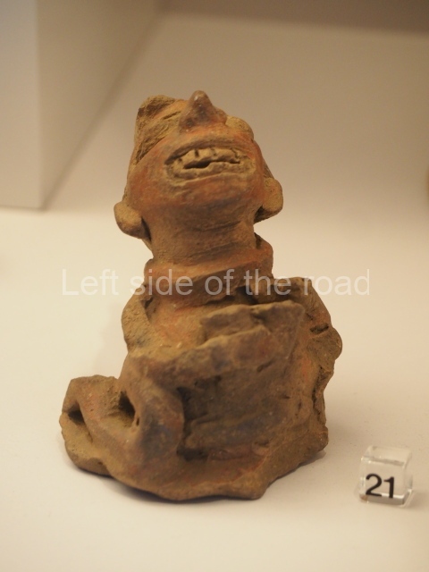
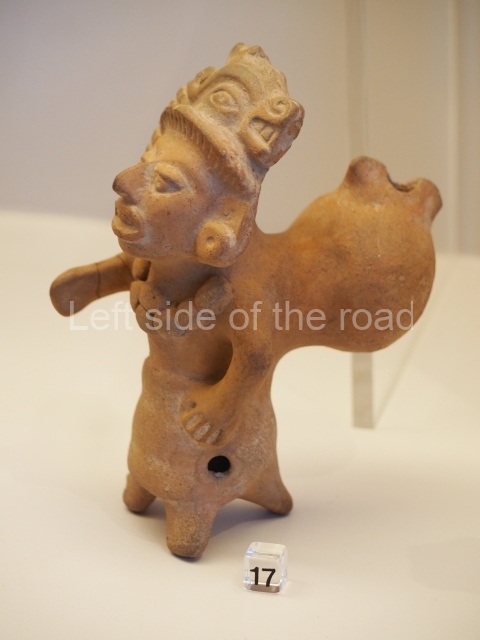
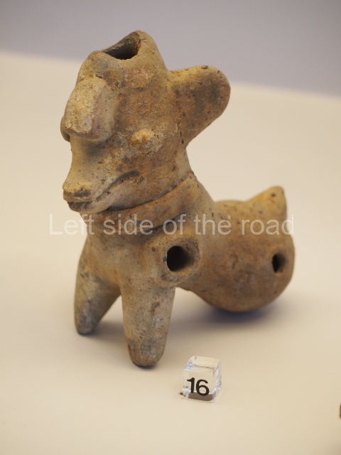
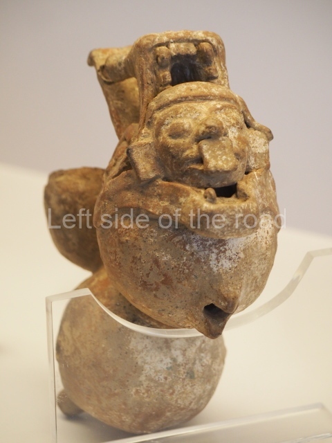
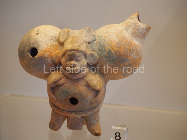
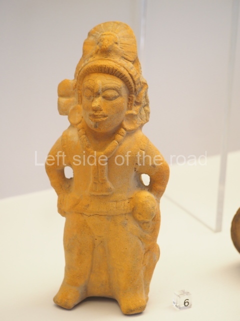
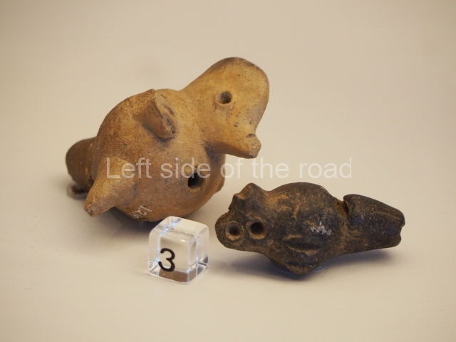
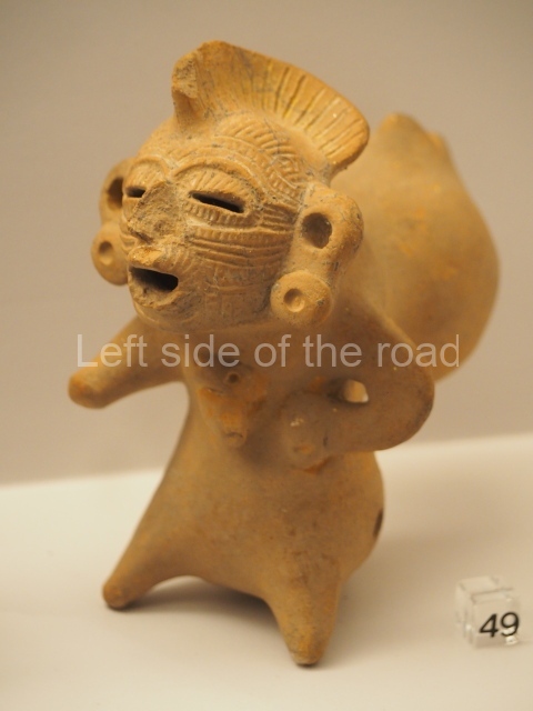
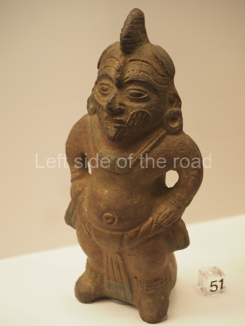
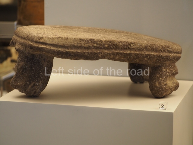
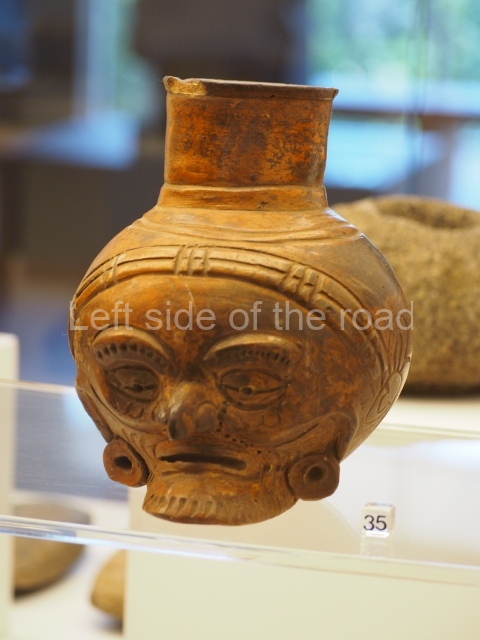
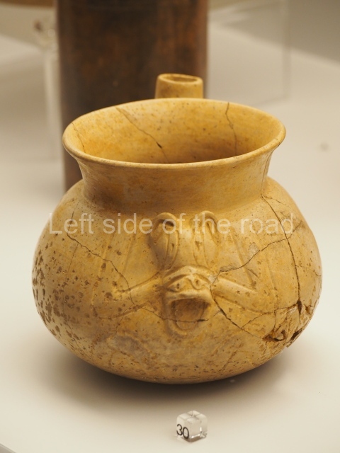
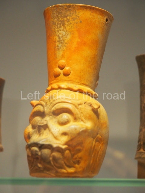
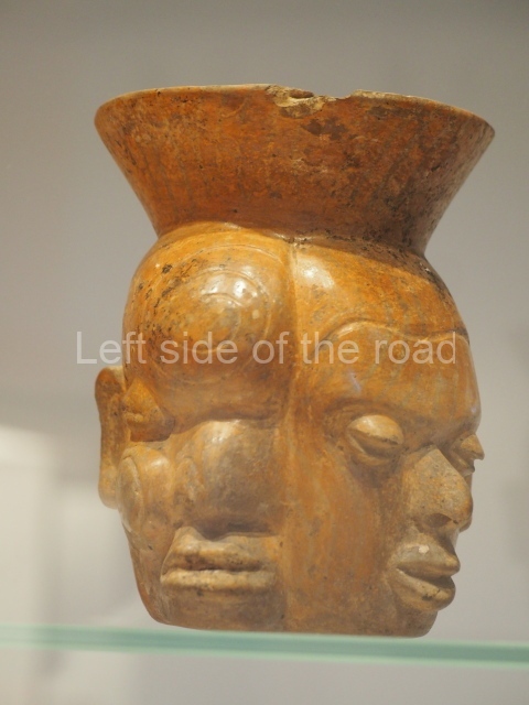
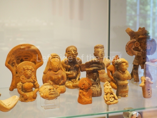
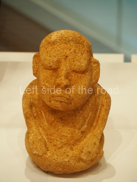
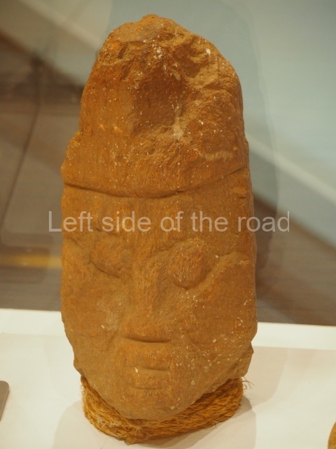
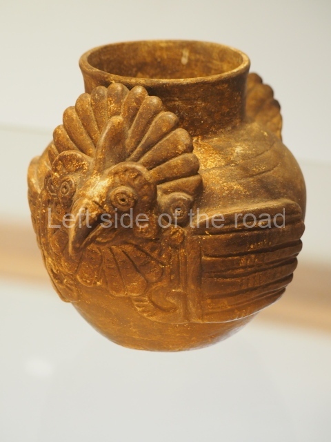
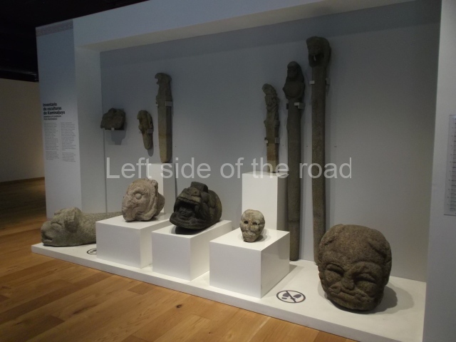
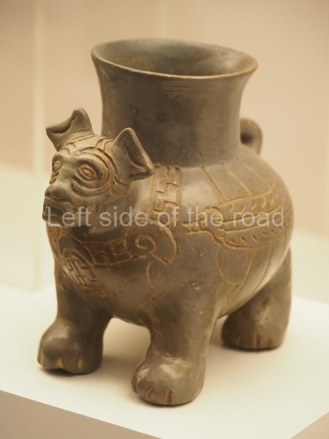
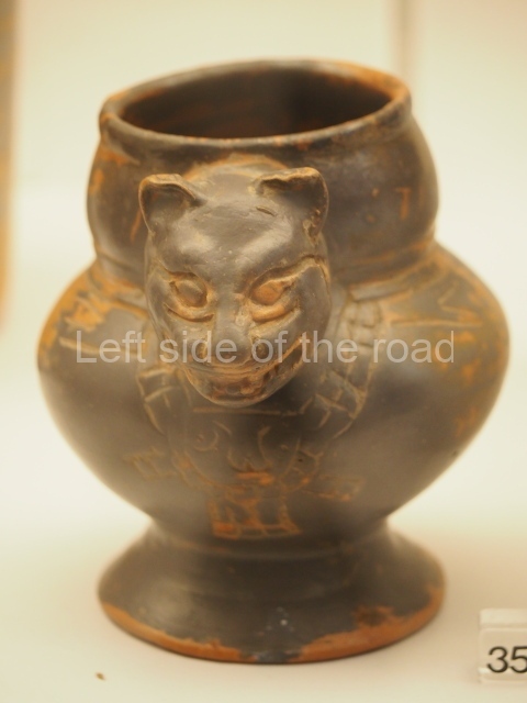
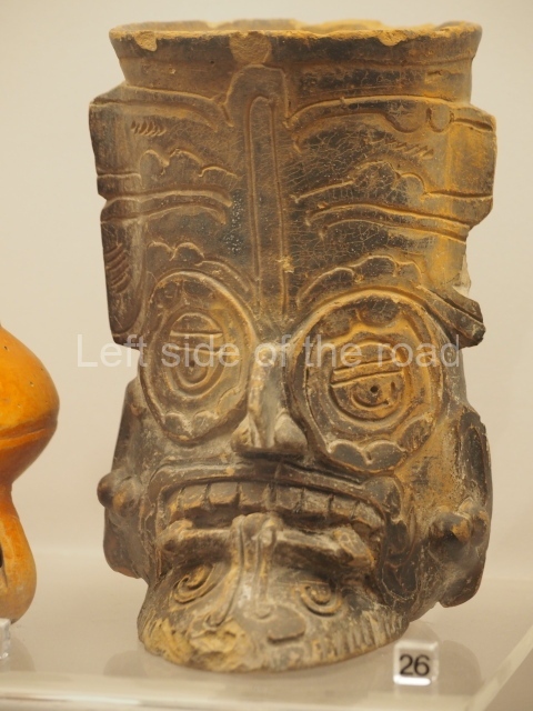
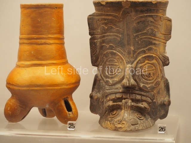
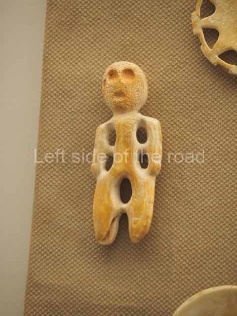
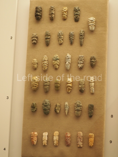
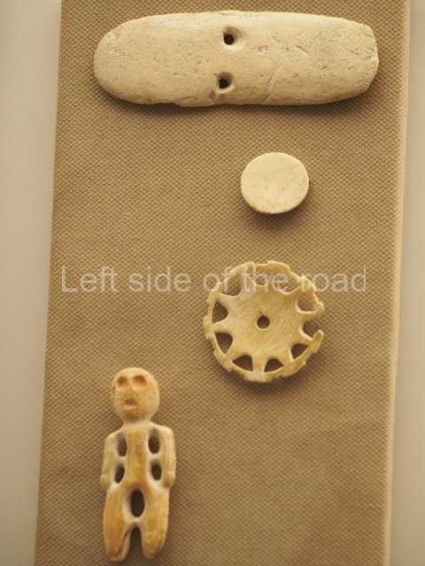
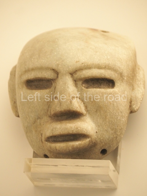
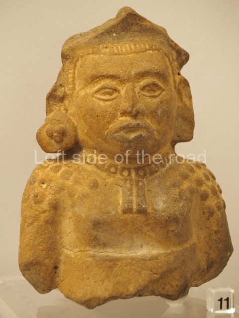
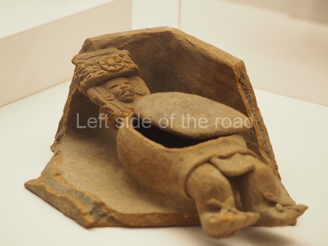
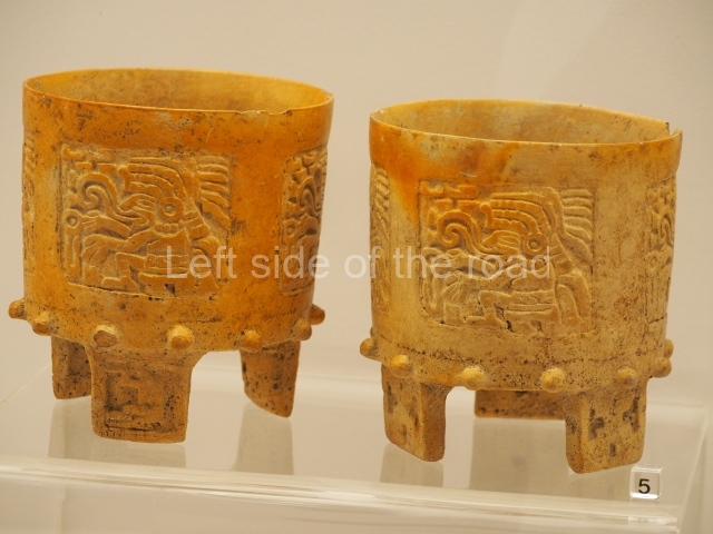
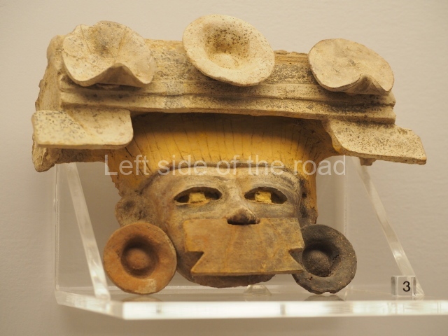
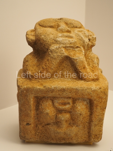
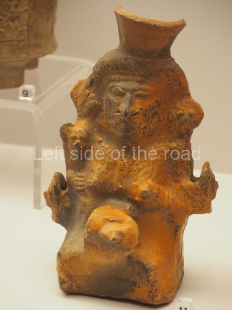
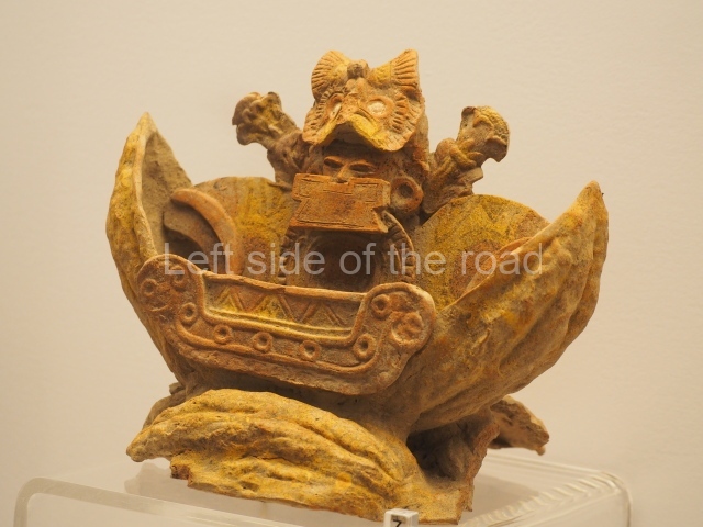
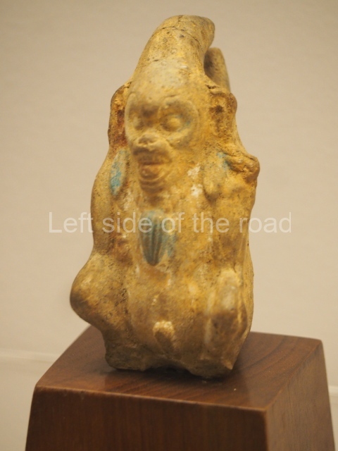
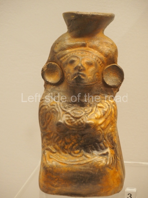
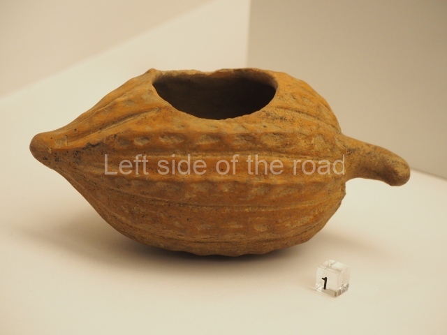
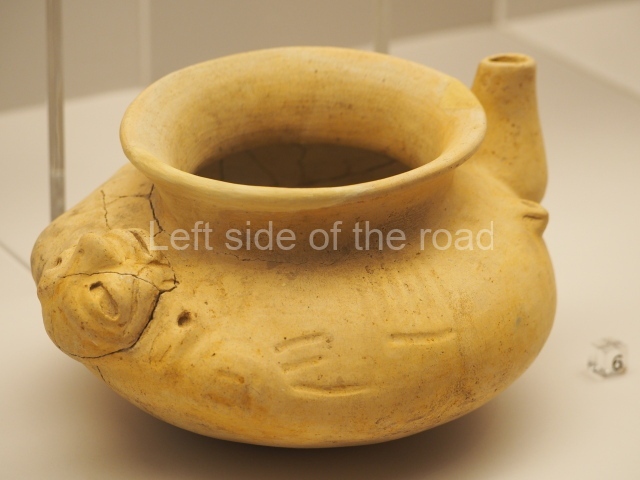
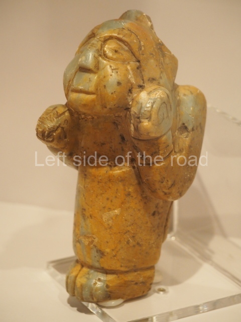
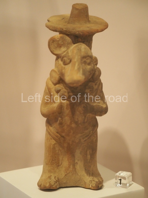
This is situated at the entrance to the site and is a small circular enclosure containing ceramics, altars and remains from Stela U, as well as a variety of smaller pieces. There are also photos of the archaeological area in the late 19th century and various drawings of the stelae.
Gustavo J. Gutierrez Leon
From: ‘The Maya: an architectural and landscape guide’, produced jointly by the Junta de Andulacia and the Universidad Autonoma de Mexico, 2010, pp552-559.
- Great Plaza; 2. Structure 1A-3; 3. Ball Court; 4. Acropolis; 5. East Group.
Getting there:
Right next to the entrance to the site is the entrance to the Delmonte banana plantation – where I think many of the workers live in company housing – US fruit companies still maintaining a feudal relationship to their workers. This means there might be, at certain times of the day, regular transport opportunities to get to and from Quirigua. If not there’s always the mototaxis – but best to catch these from Los Amates.
GPS:
15d 16’ 26″ N
89d 02’ 22″ W
Entrance:
Q80


