More on the Maya
Q’Umarkaj-Gumarcaj – Santa Cruz del Quiche
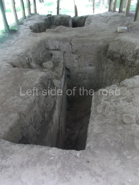
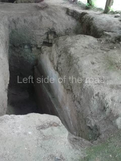
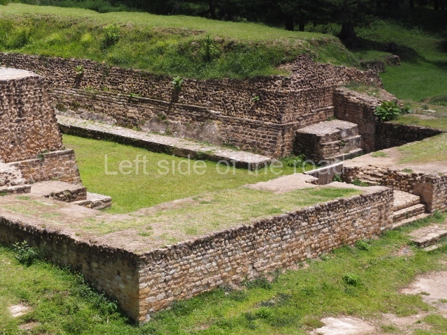
[The description below promises much more than is, in fact, to be seen. Probably, for me, the most under-whelming site so far – hence the few pictures in the slide show. After I left the site I started to think that I must have missed something, but was sure I saw all that was there. Perhaps, I’ll never know.]
Location
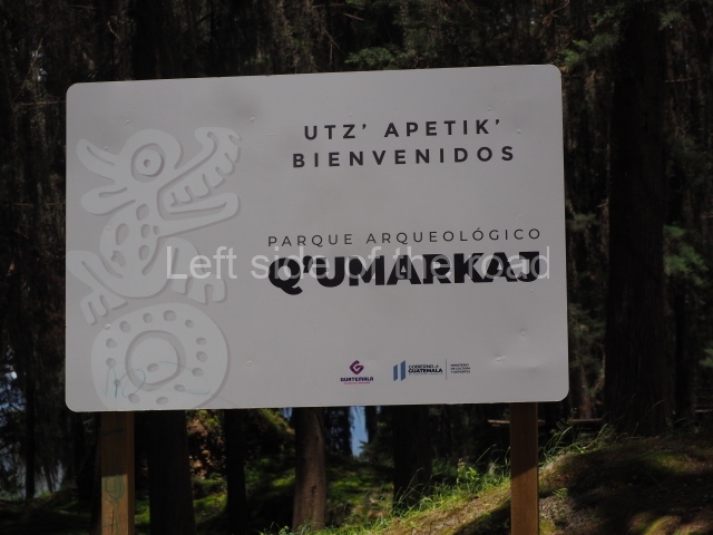
Q’umarkaj, which means ‘old reed huts’, is a pre-Hispanic fortress situated 8 km from the departmental capital of El Quiche, approximately 163 km north-west of Guatemala City. Also known as Utatlan and Guamarcaj, it was the capital of the K’iche’ kingdom, and therefore the political seat of the most powerful entity in the Guatemalan Highlands during the Postclassic. From here, the K’iche’ kings ruled over a large territory encompassing most of the central and western plateau of Guatemala, from the Chixoy Valley to Quetzaltenango and San Marcos between the plateau and the coast, covering an area of over 7,000 sq km. It was founded in AD 1250 by the governor Gucumatz and destroyed due to conflicts with the Spanish conquistadors in 1524.
Pre-Hispanic history
According to historical sources, the K’iche’ nation was a crucial target for the Spaniards, who had received news in central Mexico about the power wielded by the K’iche’ governors and their rule over other groups on the Guatemalan plateau. A military expedition led by Pedro de Alvarado departed for the Guatemalan Highlands to subjugate the K’iche’s. En route, the Spaniards struck alliances with opposing groups such as the Caqchikels, who together with Tlaxcaltec warriors helped to defeat the K’iche’s. In keeping with the Postclassic architectural tradition and settlement pattern, the city of Q’umarkaj was established on a hilltop overlooking the surrounding territory and offering defensive advantages. The area enjoys the typically mild climate of the plateau, while the vegetation consists of large trees that provide ample shade, a cool breeze and raw material for the construction of dwellings and handicrafts, as well as fuel for domestic uses. The K’iche’ capital occupied a strategic geographical position, enabling the population to control the fertile lands, valleys, water resources and trading routes, all of which gave this group an enormous advantage over its rivals.
Site description
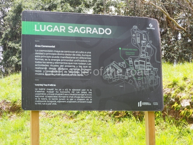
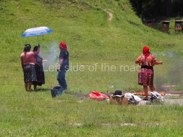
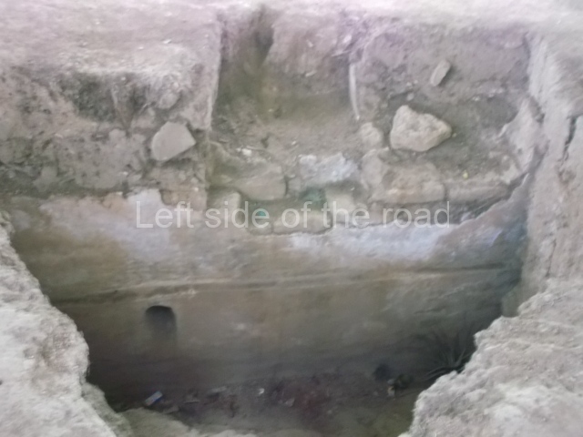
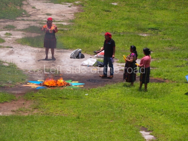
The architectural characteristics of the site include double stairways, twin-temple complexes, elongated structures or large houses in the fashion of palaces with pillars, numerous entrances and interior courtyards, ball-court structures, sloping pyramid platforms, vertical walls or finial blocks and circular structures. The city consists of three building groups connected by causeways. Each group has a plaza, twin temples with a double stairway, and a ball court, as well as low platforms for dwellings and circular structures. These groups must have been organised hierarchically in keeping with the relative importance of the principal K’iche’ lineages. These would appear to have established a complex form of social organisation based on territorial federations called chinamitales, out of which they created three Amak or large federations and established their capital, Q’umarkaj, in one of them. The building materials used were the local adobe, sedimentary rock and igneous rock, covered with stucco for a more elegant finish and greater durability. The fired clay technique was also used to create the solid core of some of the structures, while mud, pebbles and sand, duly compacted, were used as fillings. A network of artificial caves for ceremonial purposes has been found beneath the site. These continued to be used in the same way today, like the ruins of certain structures such as the Temple of Tohil, where modern day Maya priests perform rituals.
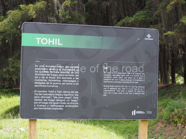
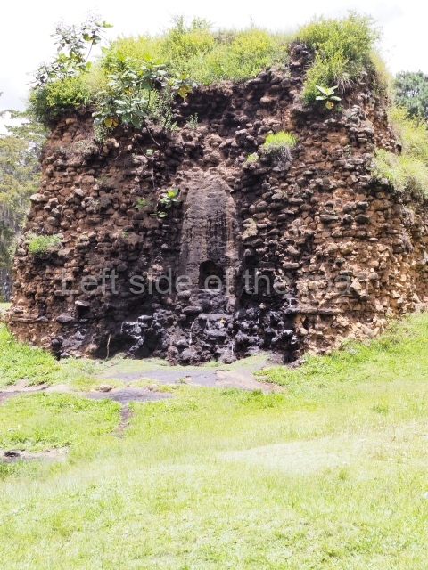
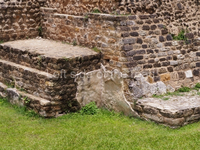
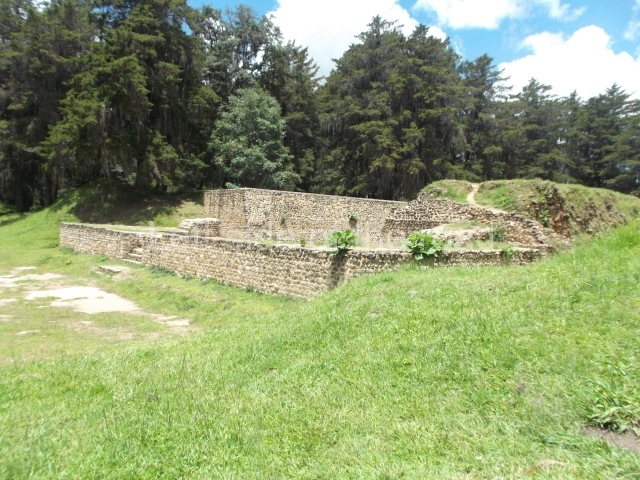
Despite minimal restoration and research, various structures illustrate the architectural characteristics of the site. The temple dedicated to Tohil in the middle of the Central Plaza is one of the most important constructions at this Postclassic city. It is a pyramidal structure composed of a sloping wall, which constitutes the balustrades flanking the stairway, surmounted by a vertical wall or finial block. A small stairway once led to the upper platform and temple. This pyramid was one of the highest at the site.
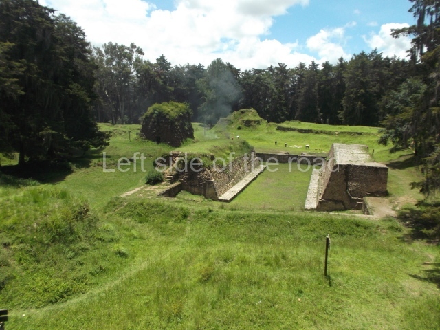
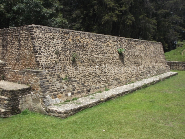
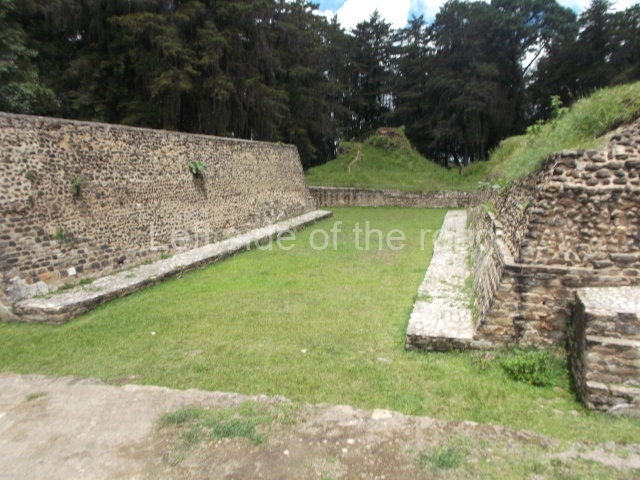
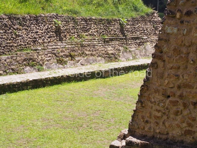
The other important buildings at the site are the Temple of Awilix, the Temple of Q’uq’umatz, the ball court in the Central Plaza, the Temple of Jac aw itz, the Tamub Temple and the Kawek Palace. The Temple of Awilix, which stands opposite the Temple of Tojil, consisted of two main tiers, the first wide and the second narrower. The top tier had two stairways, divided by a finial block, leading to a temple with a roof comb. Two standard bearers were found flanking the central stairway. Meanwhile, the Ball Court was of the enclosed, I-plan variety with a single and relatively small access stairway situated at one of the ends. Another stairway led to the top of each wall where there must have been a type of roofed box for authorities supported by pillars. The parallel walls were sloped and lined with benches. The marker at the top of the court must have been of the ring variety. From the Central Plaza, the remainder of the site stretches out in all four directions, the north section being the most distant. The south, east and west sections contain various residential buildings and a few temples at what has been called the ‘ritual-council palatial’ complex. Nowadays, all of the visible large structures are situated in and around the Central Plaza and adopt the form of mounds. None of them have been restored, although a few have been consolidated. Further away from the plaza are a few smaller structures in a similar state of preservation.
Situated at the entrance to Q’umarkaj is a small site museum (closed in summer 2023) containing pieces recovered during the excavations, a scale model and informative panels offering details about the history of the site and general aspects relating to the K’iche’ culture. There are also a few modern objects made locally, such as the traditional brightly-coloured fabrics that are produced in the nearby town of Chichicastenango, which is famous for its textile market and still contains numerous elements that defined the K’iche’ culture. The most famous of these is the church of Santo Tomas Chichicastenango, where the Popol Vuh, the sacred book of the K’iche’s, was copied.
Edgar Carpio
From: ‘The Maya: an architectural and landscape guide’, produced jointly by the Junta de Andulacia and the Universidad Autonoma de Mexico, 2010, pp492-493
How to get there;
A combi, with Ruinas scrawled on the windscreen, leaves from the square in front of the church on a regular basis during the day. Q5. It’s route ends at the bottom of the approach road to the site.
Entrance;
Q30


