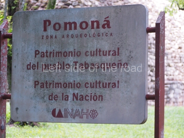
Pomoná – Tabasco
Location
The archaeological area is situated 39 km from Tenosique. Take the road to Emiliano Zapata from the latter city and then a detour of 4 km along a fairly decent dirt track. The site lies in the north-western section of the Maya area, on fluvial terraces formed during the Pleistocene, in the lower foothills of the northern Chiapas mountains. This region is characterised by gentle rolling hills in the north and is delimited to the east by the left bank of the River Usumacinta, just beyond the point where it flows down to the Gulf of Mexico from Boca del Cerro. It is bordered to the west by the Chacamax, a tributary of the Usumacinta, which rises near Palenque, 40 km west. Pomona has a site museum containing the objects unearthed during the excavations and a collection of pieces that offer a general overview of the archaeological finds in the region.
History of the explorations
In 1963 Heinrich Berlin identified the glyph that represented the pre-Hispanic name of the city. It has been suggested that the correct phonetic interpretation is Pacab or Pakabul, a term which certain researchers believe is a reference to the uneven nature of the natural topography in the northern Chiapas mountains, formed by the Usumacinta as it makes its way to the Tabasco Plains. Nine texts with the Pomoná emblem glyph have been found: four with inscriptions, situated at the site itself, and another five distributed at various sites in the region – one at Panjale, one at La Mar, two at Piedras Negras and one at Palenque. The four texts at Pomoná can be found on Monument 3 (AD 771), Monument 7 (undated) and the last two in longer, greatly eroded texts that mention the dedication date of AD 751. Based on the distribution and translation of the associated texts, we know that Pomona was involved in a series of armed conflicts with its most powerful rival neighbours, such as Piedras Negras which inflicted a serious defeat in AD 792, and Palenque, whose Temple of the Skull yielded an earring with the Pomoná emblem glyph associated with the date AD 697. In the 1950s Pomoná was the victim of a spate of lootings that eventually led to the transfer of several monuments for safekeeping to the Tenosique secondary school, where they remained on display for several years before being relocated to the site museum at Pomoná.
Site description
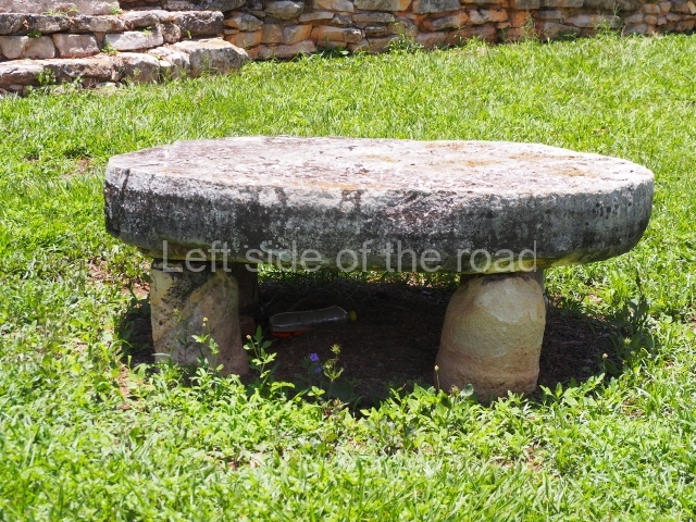
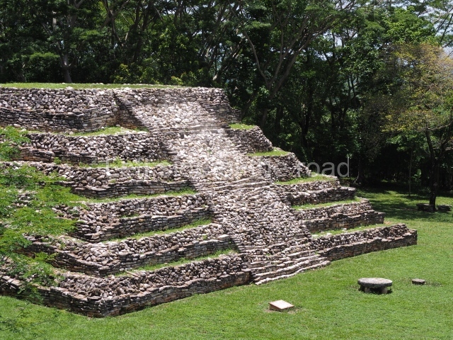
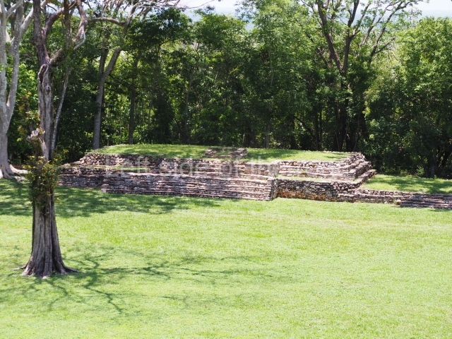
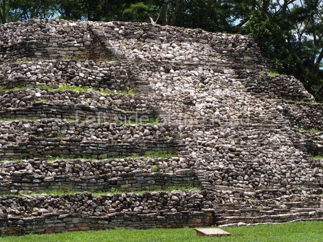
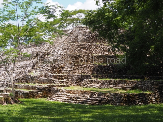
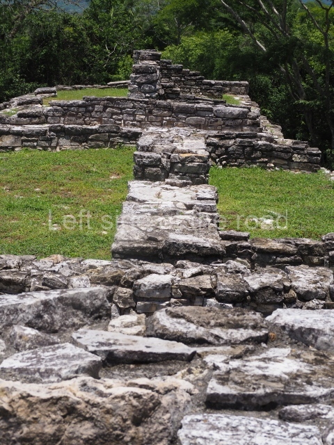
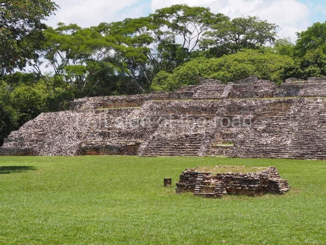
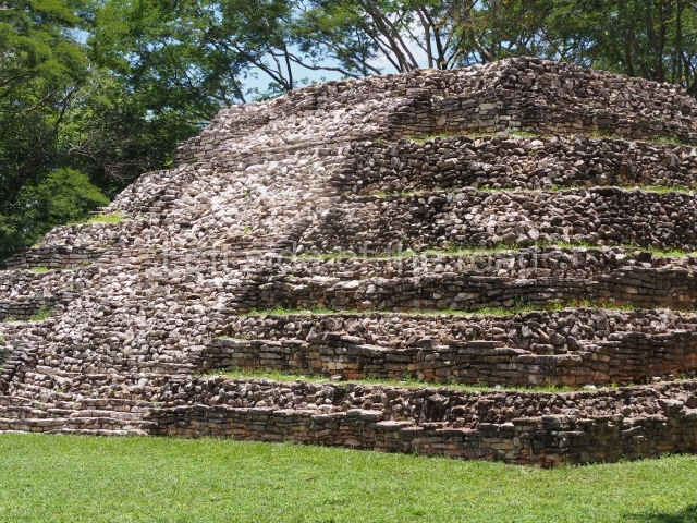
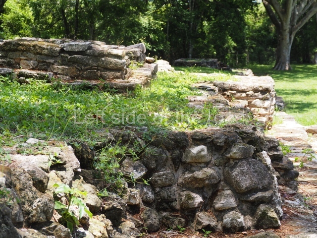
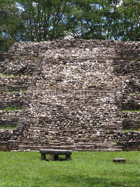
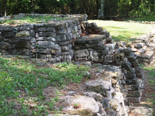
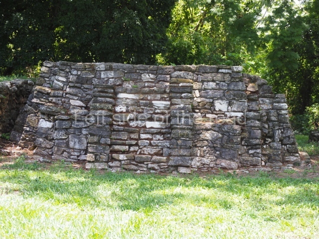
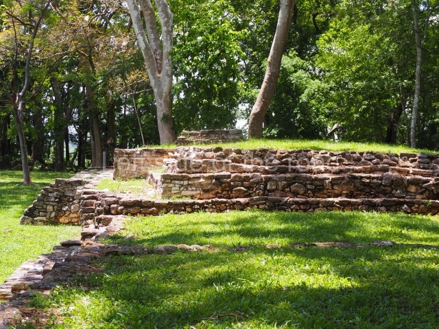
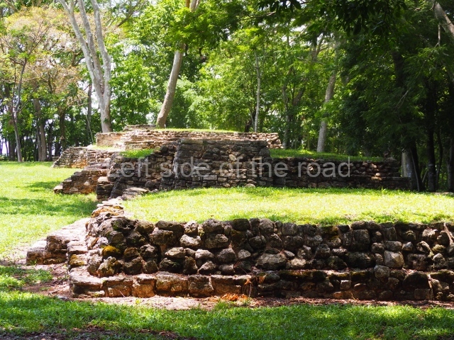
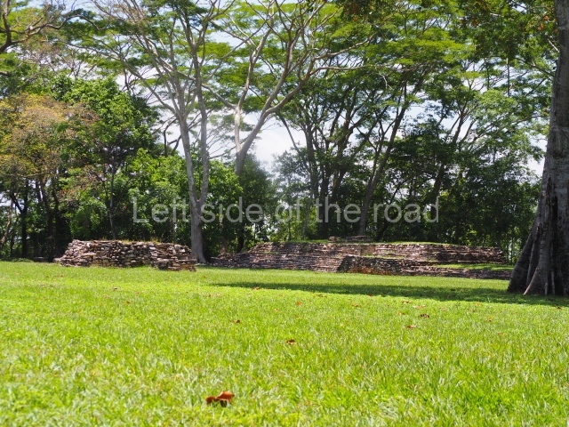
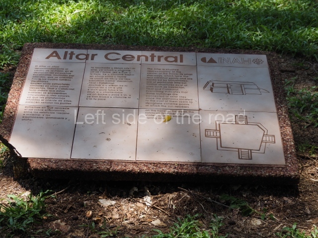
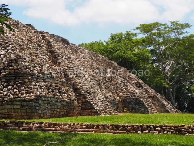
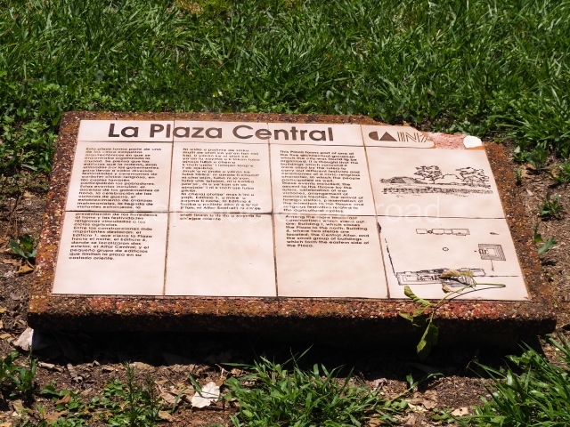
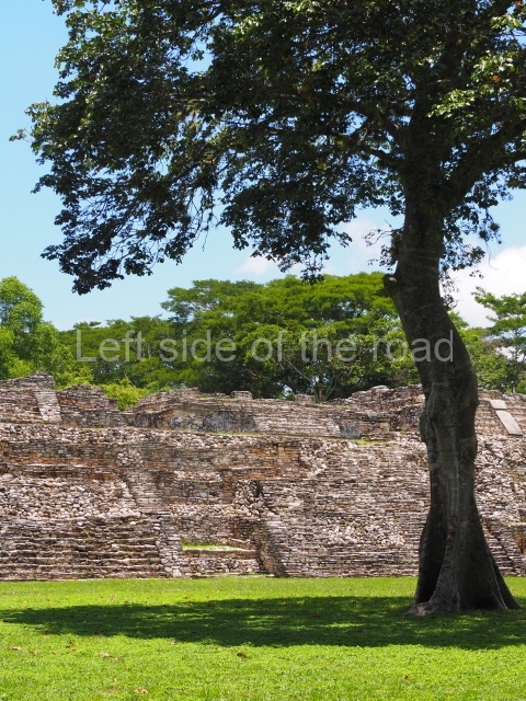
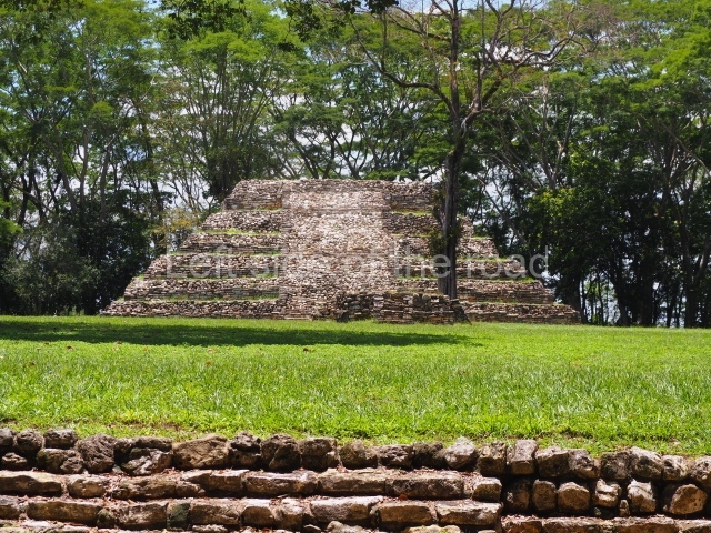
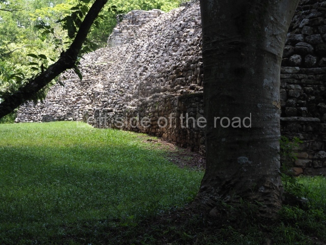
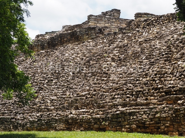
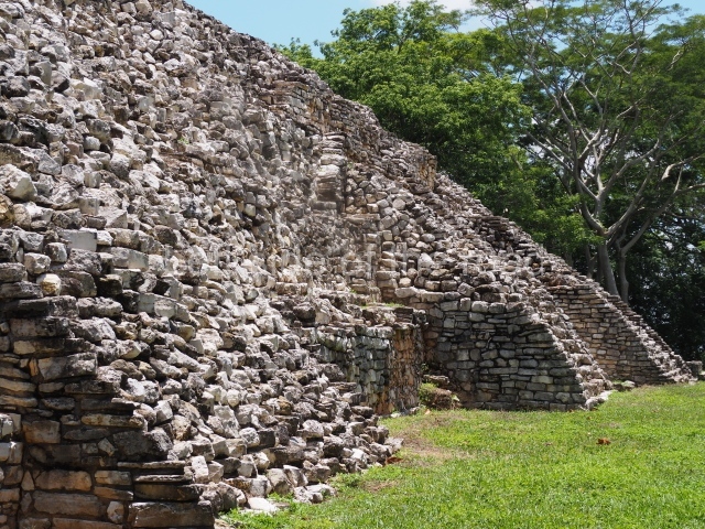
Pomoná covers a total area of 190 ha and comprises a somewhat scattered layout of six main groups and a few smaller ones. Of the main ones, only Group 1 has been explored and consolidated. Situated in the uppermost section of the site, it accommodated civic and religious functions, although the excavation and consolidation works yielded ‘refuse dumps’ containing domestic utensils such as quern stones, domestic pots, etc. This suggests that the group combined residential, administrative and ritual functions. Group comprises 13 buildings, 12 of which are distributed on both sides of a rectangular central plaza. Situated at the north end is a vast rectangular, six-tier platform with balustraded stairways on its south side. The west end of the plaza is delimited by buildings 3, 4, 5, 6 and 7, all of them platforms once surmounted by vaulted structures. The architectural design is vaguely reminiscent of the style at Palenque. Situated on the east side of the central plaza are buildings 9, 10, 11 and 13, low platforms that once supported constructions made out of perishable materials.
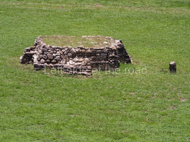
There are no visible architectural barriers on the south side of the main plaza, which is open except for a three tier stairway that led to Group II, as yet to be explored. According to Roberto Garcia Moll, the pieces recovered during the archaeological investigations – approximately 45 sculptural elements – reveal an interesting pattern. Most of the fragments recorded come from Building 1, nearby places and a small platform known as Building 2. Building 3 is a low platform whose longest side is oriented north-south while its main facade faces east. This facade yielded the remains of the original stucco cladding that must have once covered it completely. A small cylindrical altar, devoid of decoration, and the remains of three sculptures with glyphic texts were found in the rubble of this facade.
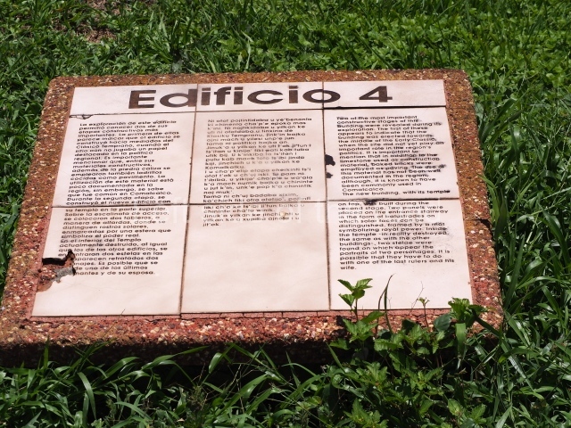
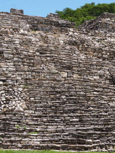
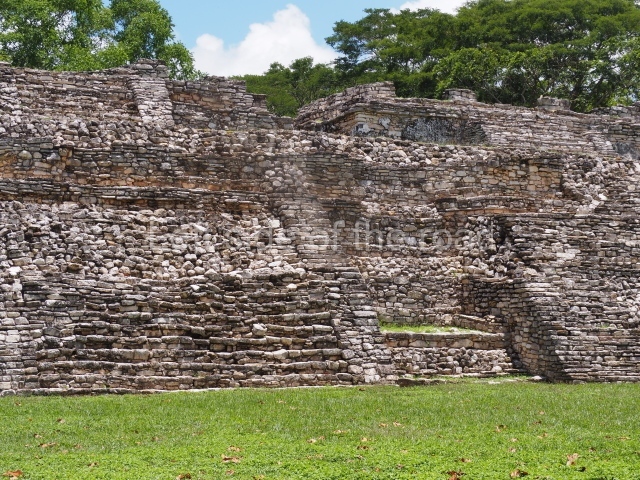
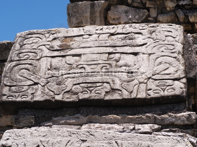
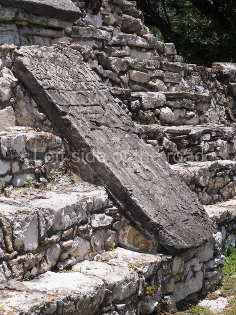
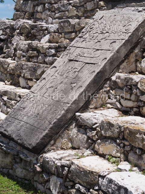
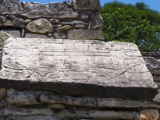
Building 4 is a platform with evidence of several construction phases and it was surmounted by a small temple. We can still see the base of temple’s vertical walls, which suggest a rectangular plan with three entrance openings. The remains furnished numerous fragments of modelled stucco that once decorated the building; these include human faces and fairly large sections of headdresses and glyphs. Two exquisitely carved tablets with richly garbed male figures and glyphic texts were found near the rear wall of the temple.
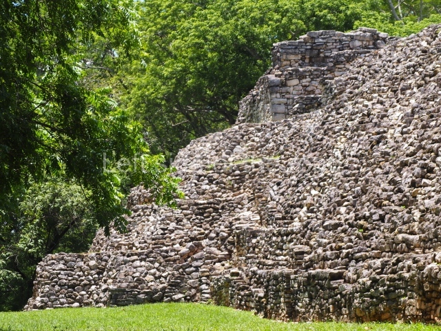
Structure 5 is a five-tier platform culminating in a temple which still displays the base of its vertical walls. Like the other temples at Pomoná, the roof collapsed without trace. This temple adopted the traditional rectangular plan with three openings and a single room. The excavations conducted by the INAH yielded two fragments of panels with inscriptions, one on the final tier of the platform and the other on the west facade of the building.
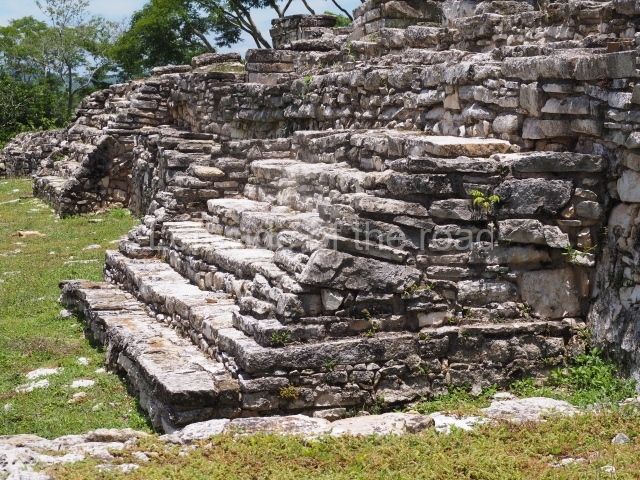
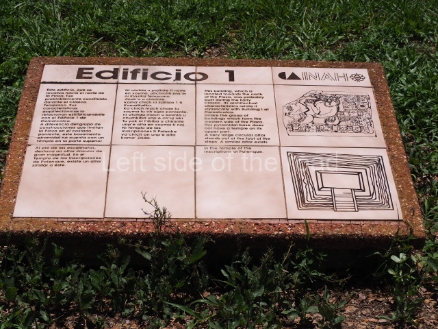
Building 6 is a vast two-tier platform culminating in a fine band of moulding, Building 1 seals the south side of the plaza. It adopts the form of a five-tier rectangular platform with vertical walls. The large stairway that covers the spaces between the tiers is not aligned with the stairway that leads to the top of the platform and the temple but is distinctly out of line towards the south end of the structure. A fragmented, incomplete stela with reliefs on both faces was found near the centre of the temple. The front face depicts a standing figure and the rear face a long glyphic text.
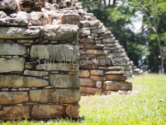
Structure 8 stands outside the perimeter of Group I, at a lower level than the plaza. It is a low, rectangular platform built on an east-west axis. It probably corresponds to the remains of a dwelling because the materials found suggest domestic activities. Running along the north side of the platform is a small stream, probably of pre-Hispanic origin, Building 9 seals the north-east side of the group. It reveals various construction phases. The west facade of Building 10 yielded two fragments of panels with inscriptions. The general appearance of the Group I Plaza, with its distinct east-west orientation, resembles that of other contemporary sites in the north-western lowlands, such as the North Plaza at Comalcalco, El Arenal and El Rosario. One of the particular architectural characteristics at Pomona is the use of balustrades to flank the stairways leading to the main temples, which differs considerably from other examples in the Usumacinta Basin such as Piedras Negras and Yaxchilan. In general terms, the architecture at Pomoná bears great similarity to that of Palenque, most notably in the ground plans of certain buildings, the balustraded stairways, the double-bay temples with the shrine in the middle and, above all, the extensive use of tablets with texts on the walls of buildings and platforms.
From: ‘The Maya: an architectural and landscape guide’, produced jointly by the Junta de Andulacia and the Universidad Autonoma de Mexico, 2010, pp134-137.
1-13. Buildings 1 to 13.
Getting there:
From Palenque. There are regular combis from Palenque to Tenosique which passes the entrance road to the site. There are taxis available if you go past the approach road and travel another few kilometres in the direction of Tenosique until you reach the second entrance to Gregorio Mendez. Getting back is not so easy – try to get a lift if anyone is available at the site. However, combis tend to leave Tenosique full so you might have problems stopping one on the junction with the main road and the site approach road. M$80 each way.
GPS:
17d 29’ 05” N
91d 34’ 13” W
Entrance:
M$70.


