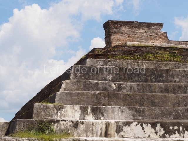
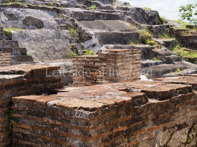
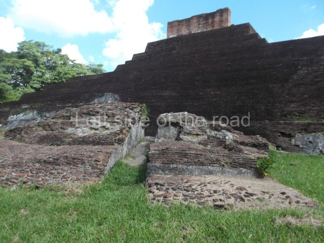
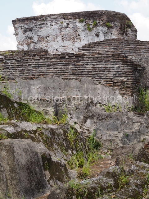
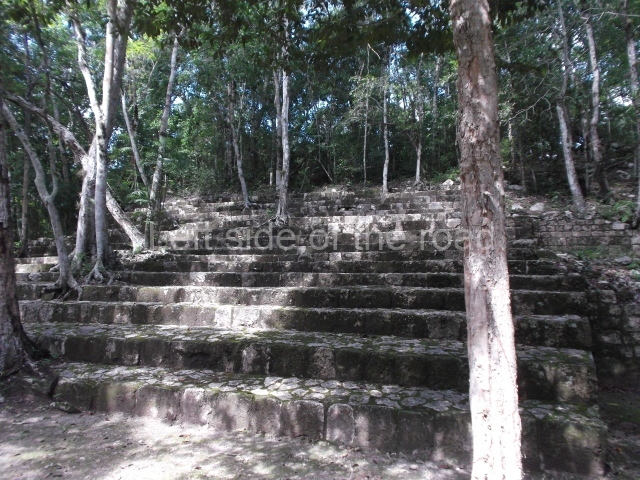
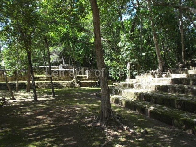
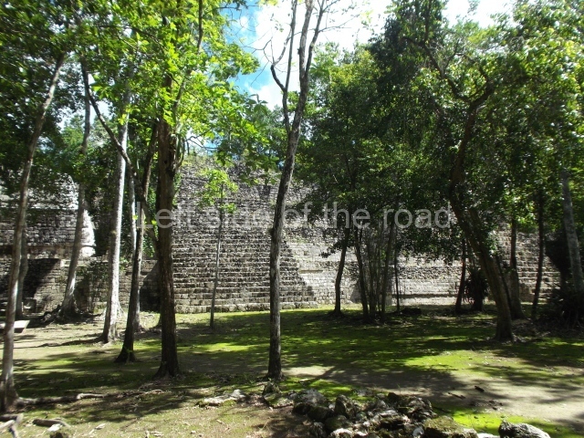
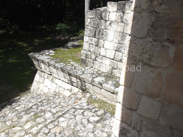
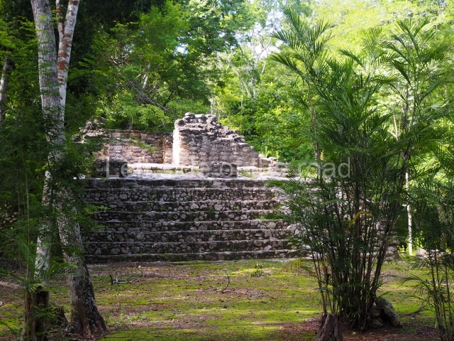
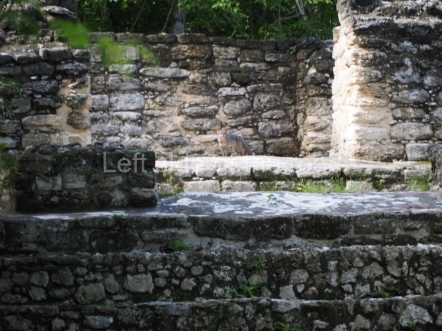
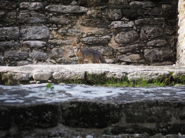
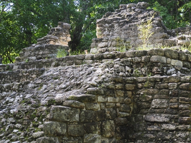
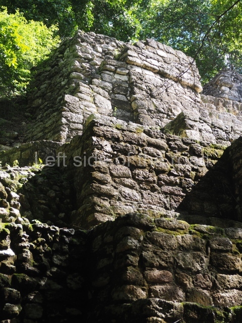
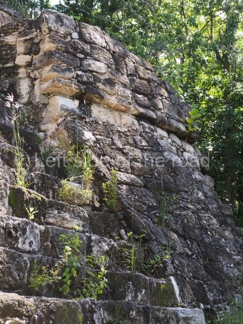
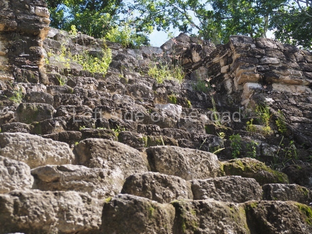
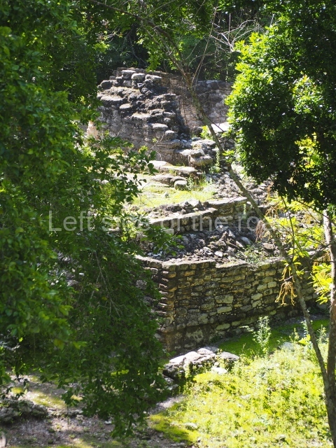
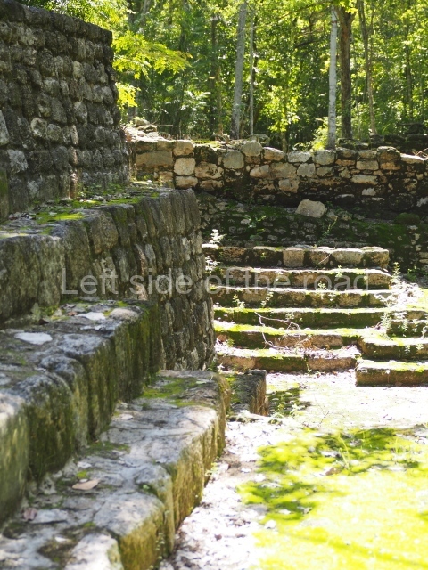
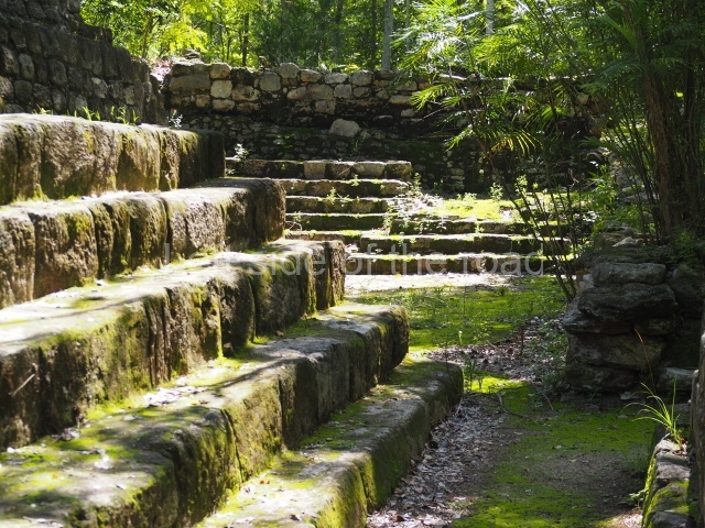
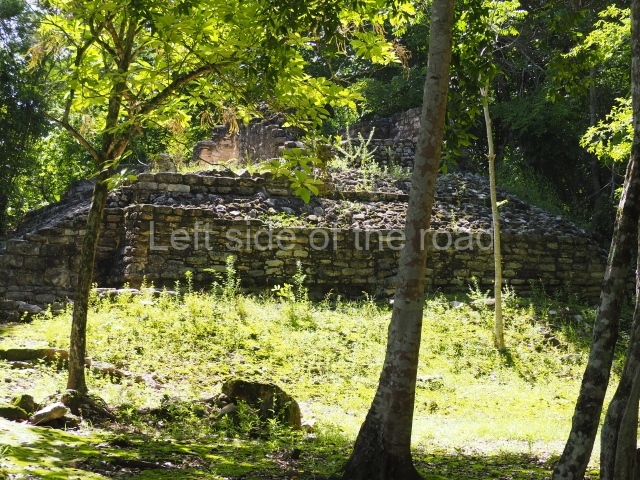
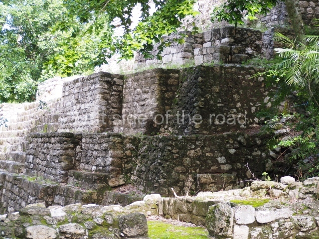
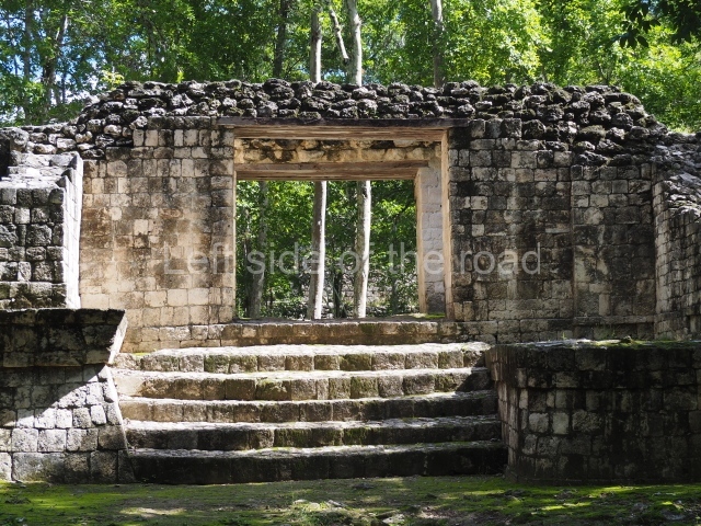
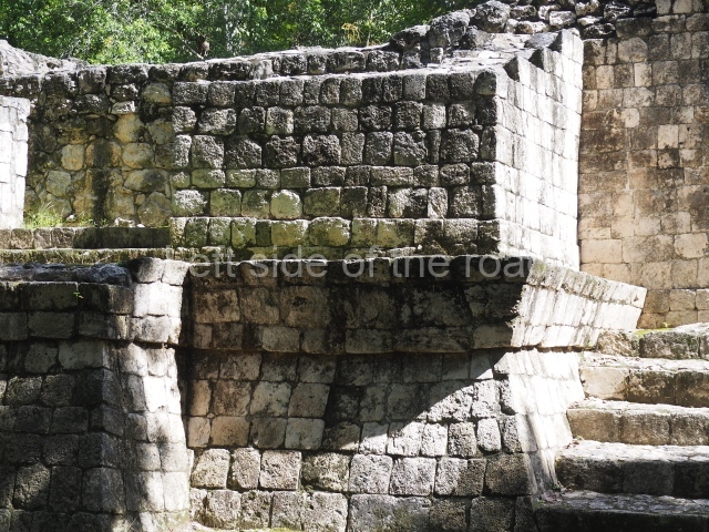
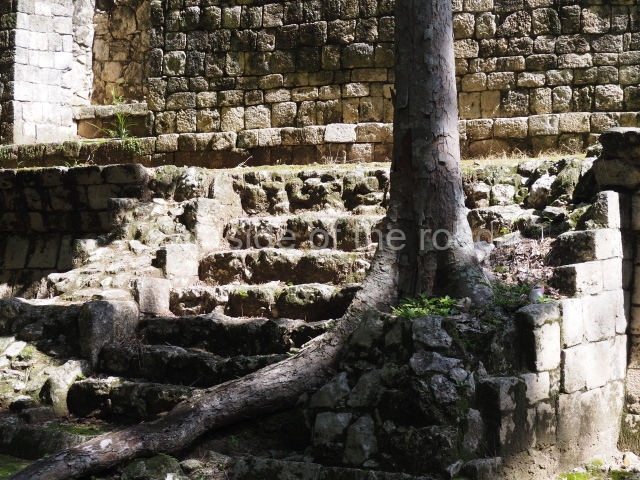
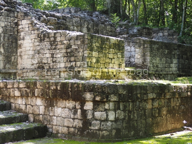
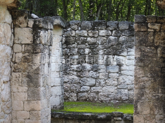
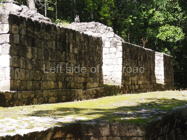
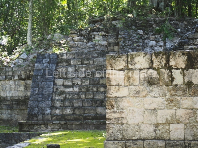
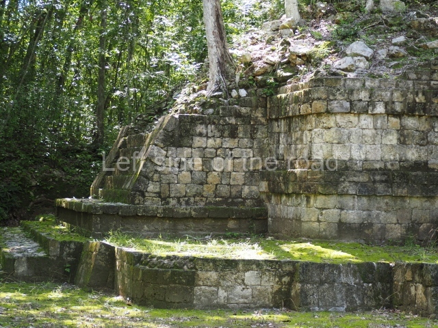
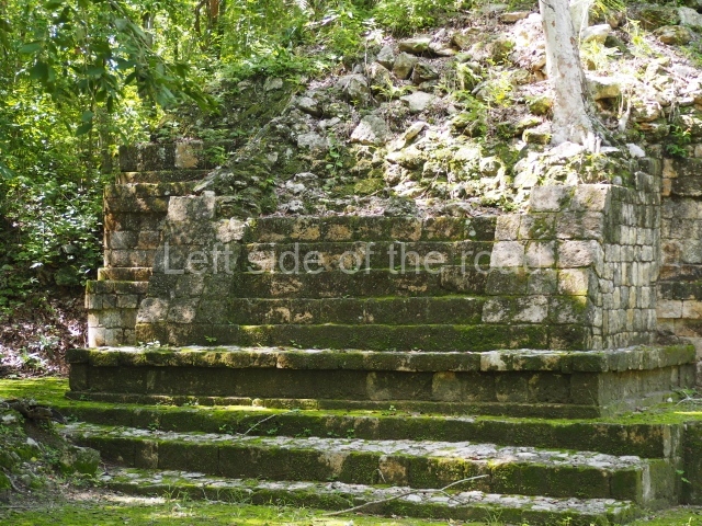
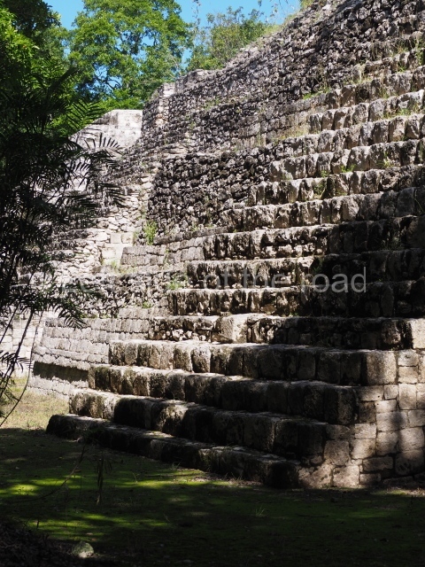
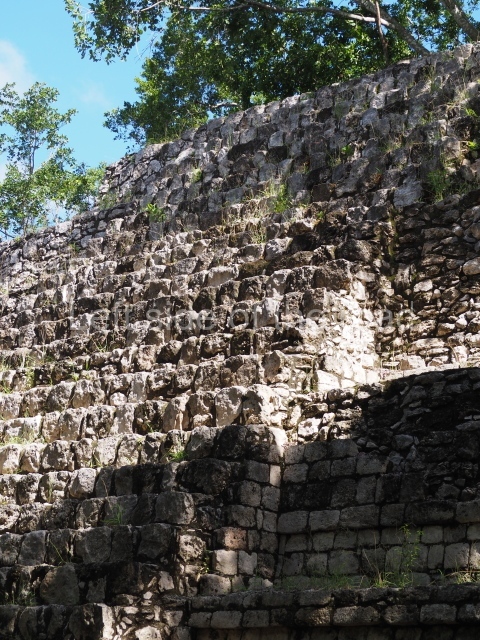
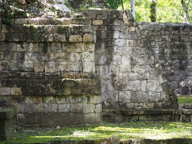
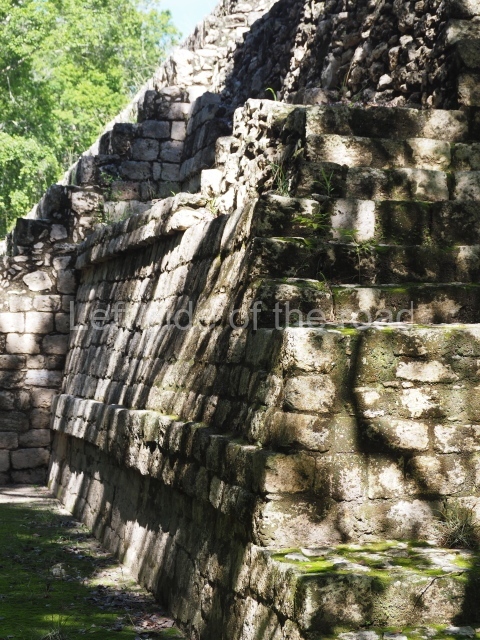
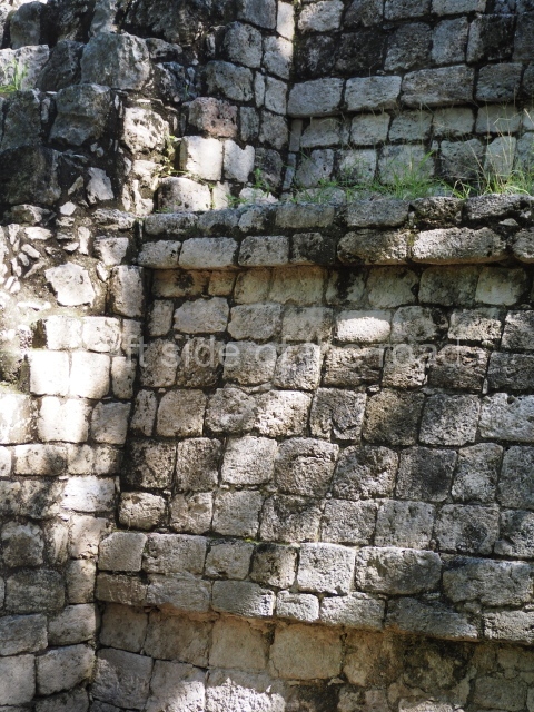
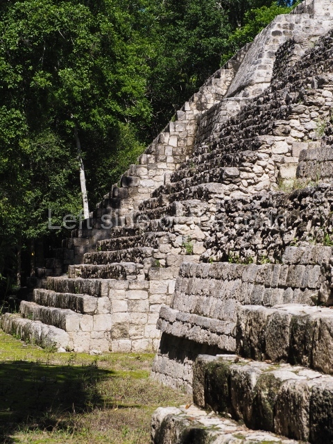
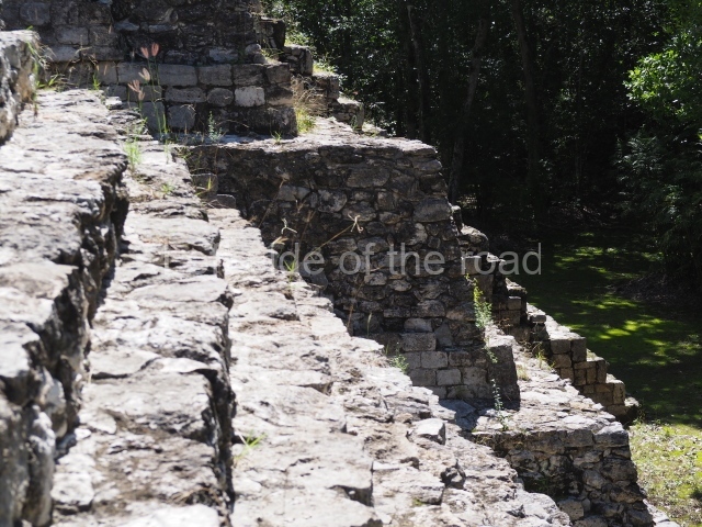
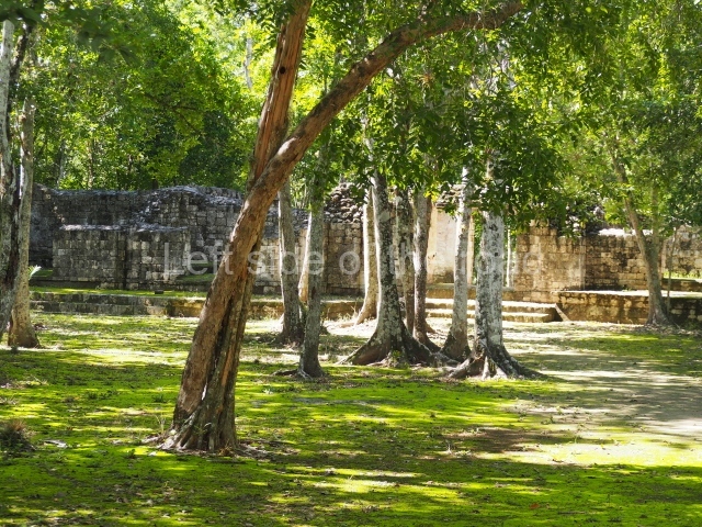
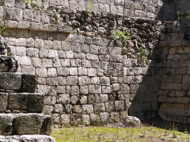
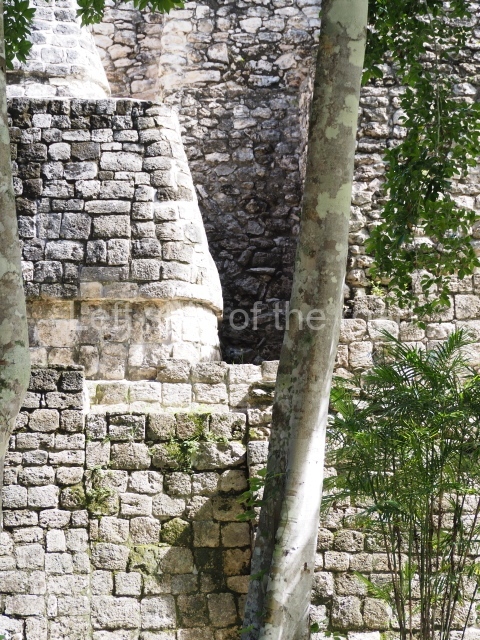
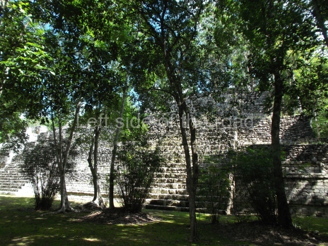
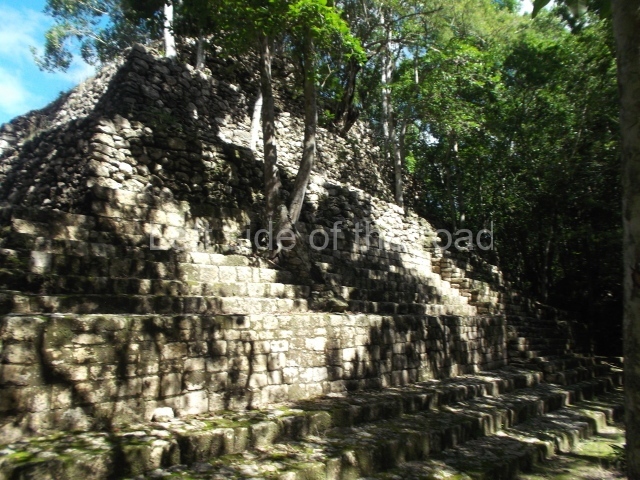
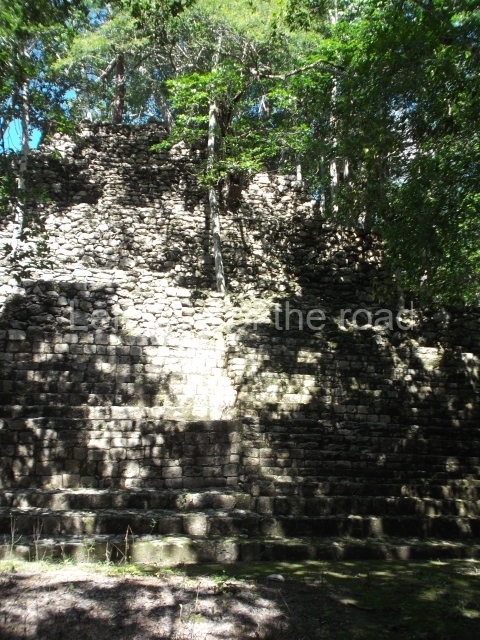
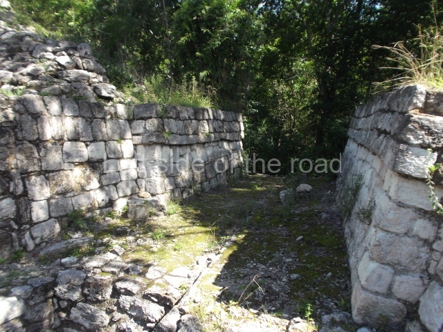
Sayil – Yucatan – Mexico

Sayil

Sayil

More on the Maya

Sayil – Yucatan

Location

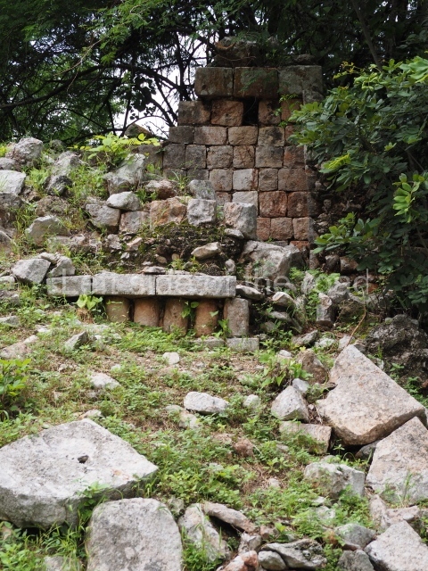
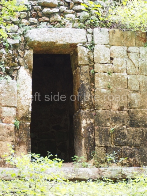
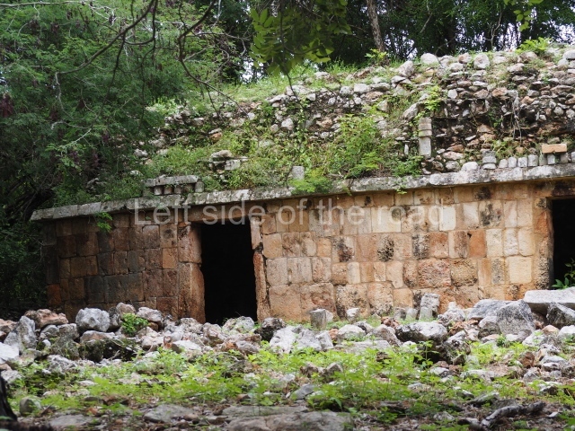
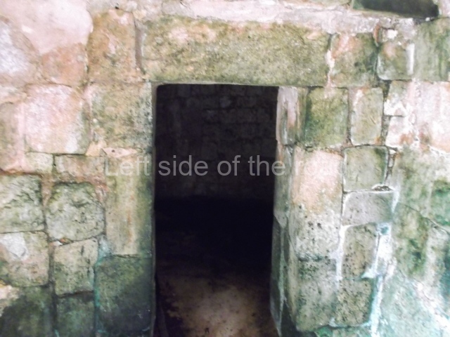
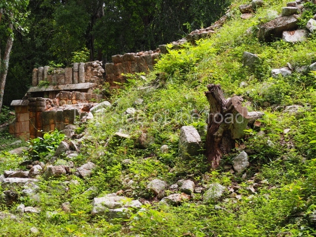
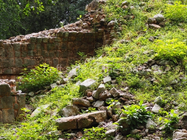
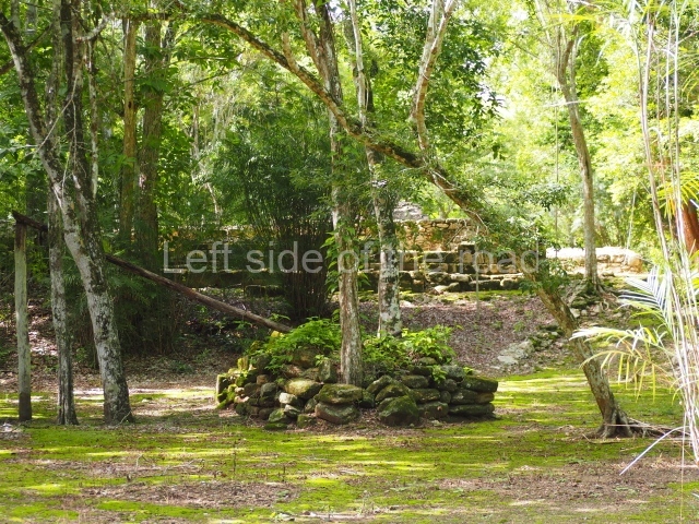
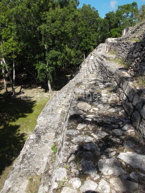
The archaeological area of Sayil is situated 25 km south-east of Uxmal, Yucatan. To reach it, take federal road 180 and then state road 131 to the site. The Puuc region is characterised by karst landscape and uneven topography, with no sources of surface water, only cenotes and aguadas, natural wells and depressions. One of its principal cultural traits during the pre-Hispanic period was the development of a technology to store rainwater in chultunes or cisterns dug out of the rock. The vegetation in the Sayil area is at different stages of growth, giving rise to a thick layer of secondary vegetation that makes it relatively inaccessible. This vegetation is the produce of the last 400 years of seasonal farming characterised by the cultivation of small plots of land which are rotated every so often when the nutrients of the soil have been depleted. This modern farming method, combined with the low levels of population it sustains, is a stark contrast to the high population levels in the Puuc region during the pre-Hispanic period, especially the Terminal Classic (AD 750-950.)

Pre-Hispanic history

The size of the civic-ceremonial precinct at Sayil was only eclipsed in the region by Uxmal. Near Sayil are various minor sites, including Kabah and Labna. These civic-ceremonial cities are situated at regular intervals of between 10 and 12 km, with dense human conglomerates between larger centres. The density of the pre-Hispanic population was such that in certain areas of the Puuc region it was continuous, leaving very few places without any human presence. The growth of Sayil as an important centre was probably the result of the collapse of other centres and the population decline in the southern lowlands during the 8th and 9th centuries AD. Over the course of the following centuries, the majority of the population in the southern lowlands probably moved to areas with a greater stability in terms of resources or to less populated regions, such as Puuc. The rapid population increase in northern Yucatan is therefore almost certainly related to the decline in importance of Peten in the political and economic history of the Maya area, but also to a major change in rainfall levels and improved farming potential in the Puuc region at the end of the Classic period. Based on the capacity of Sayil to accumulate water in chultunes and on the number of rooms per building, some historians estimate a population of between 4,000 and 8,000 during the Terminal Classic (AD 750-950) and a possible area of influence of 70 sq km with a total population of 16,000.

History of the explorations

Sayil was first visited and its ruins presented to an international public in 1841, after it had been recorded by John Stephens and Frederick Cartherwood. Although numerous travellers and researchers have published their impressions about their respective visits, relatively little is known about this archaeological site beyond the architecture of the core area. Until recently, the most complete perspective of this site, and indeed of any other site in the Puuc region, was the map drawn up by Edwin Shook in 1934 showing the layout of the buildings and documenting some of the most notable structures. Evidence of the principal period of occupation was limited until a few years ago to the existence of certain calendric dates on inscriptions and on the ceramics uncovered during minor excavations conducted at the site by Brainerd in 1958. Most of these pots correspond to the Cehpech ceramic group, which dates from between AD 800 and 1000. Between the end of the 1980s and beginning of the 1990s, the University of New Mexico conducted a longer and more detailed archaeological project at the site.

Site description

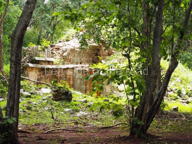
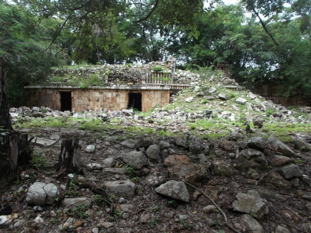
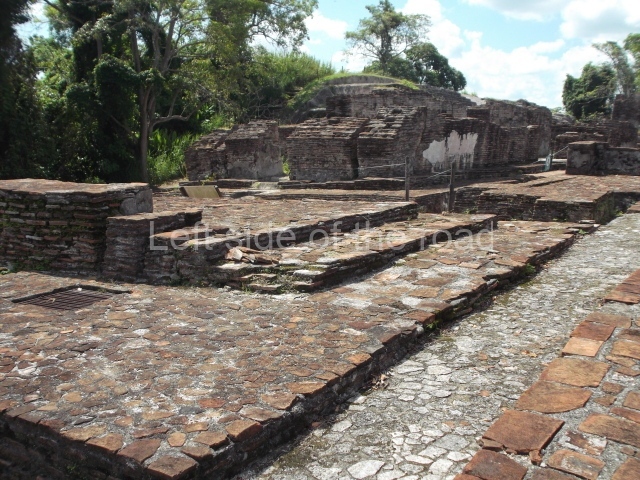
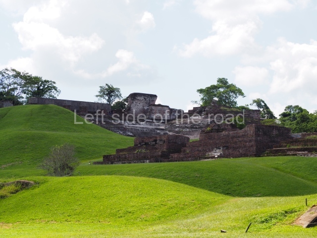
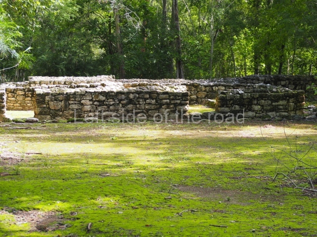
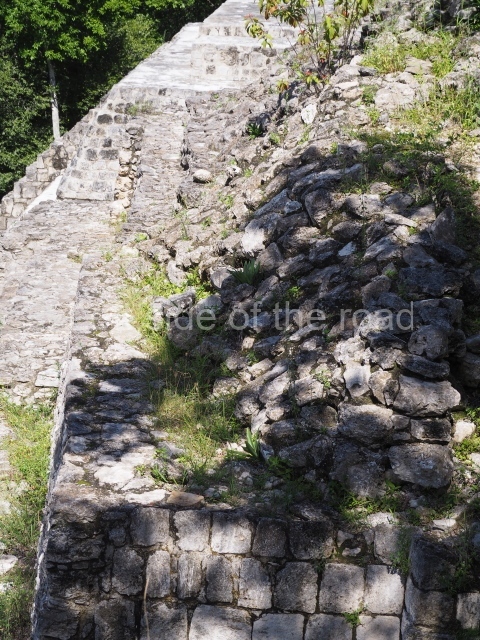
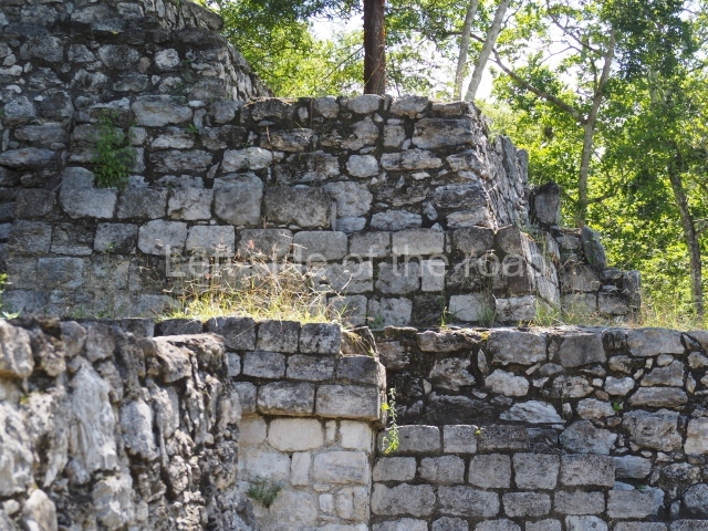
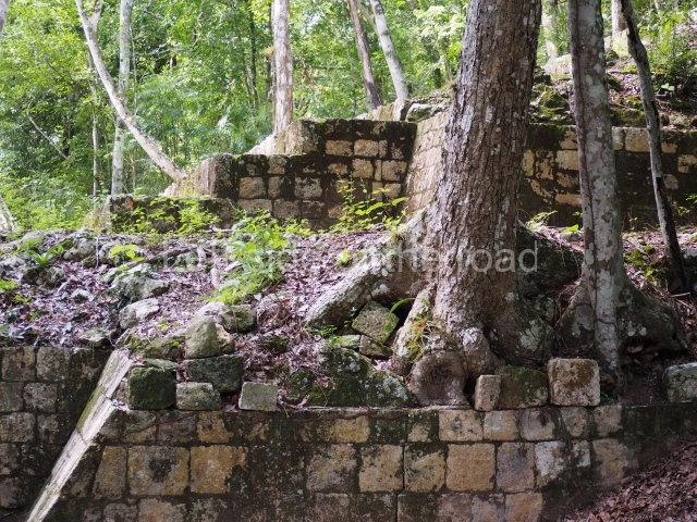
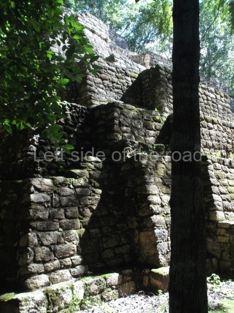
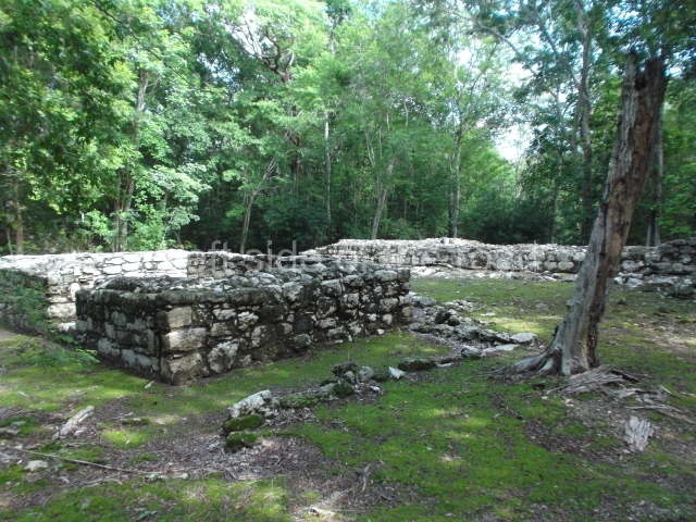
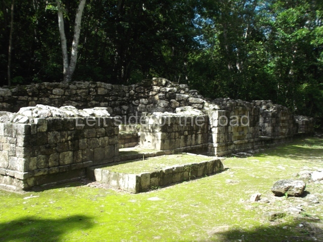
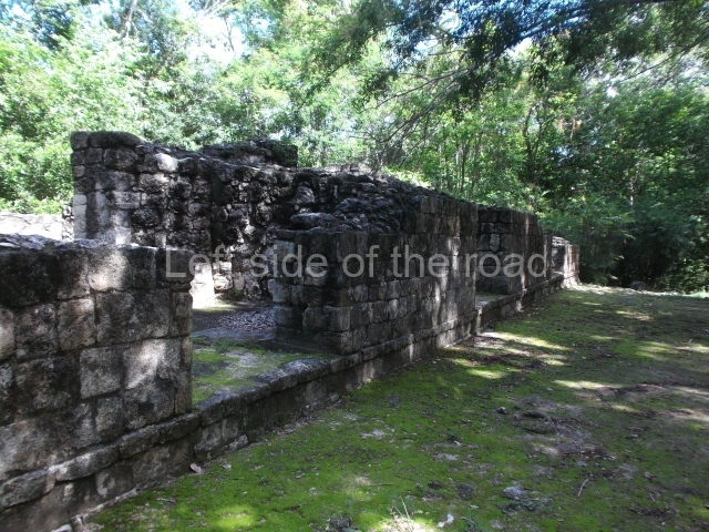
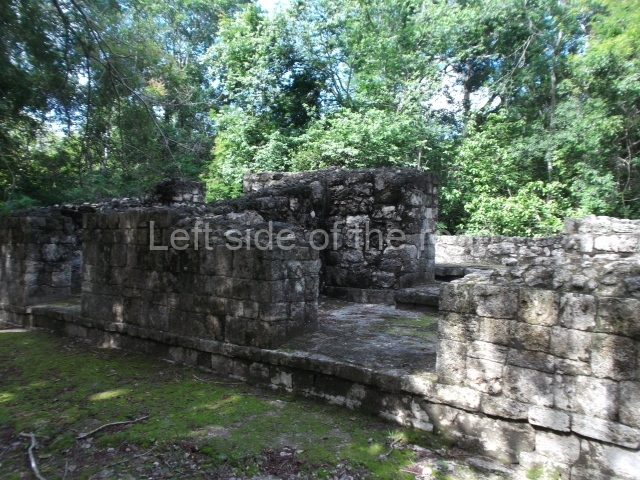
At its peak, Sayil may well have comprised four architectural groups of varying sizes and importance: one to the north, another two along the causeway running north-south through the site, and the largest to the south-east. The main settlement is concentrated in the bottom of the valley, where five main groups are arranged in an approximate north-south axis along the main causeway. The location of the settlements not directly associated with the causeway is determined by the presence of limestone rocks, which were required for the construction of chultunes. The site continues, practically in all four directions, to the foot of the hills that form the valley

Palace.

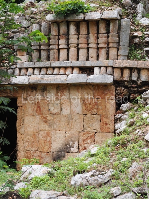
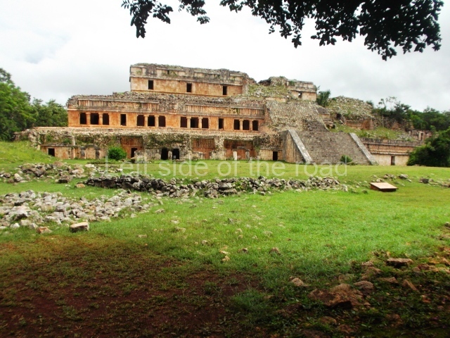
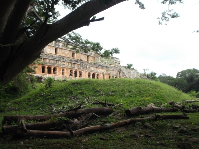
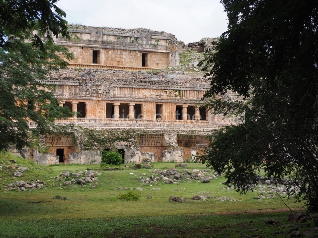
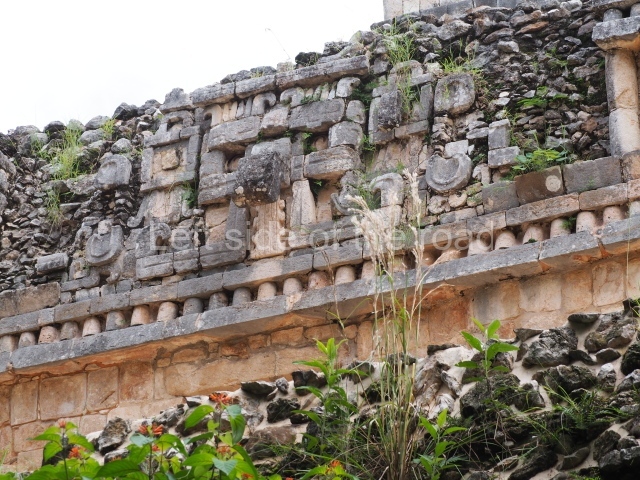
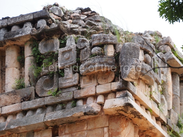
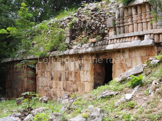
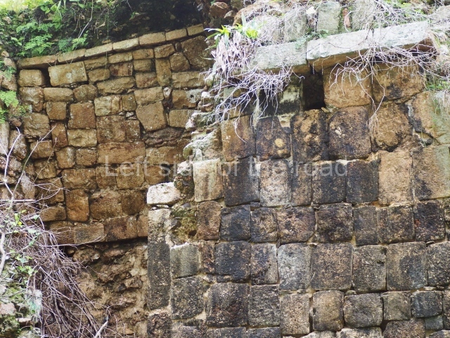
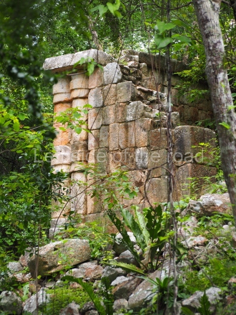
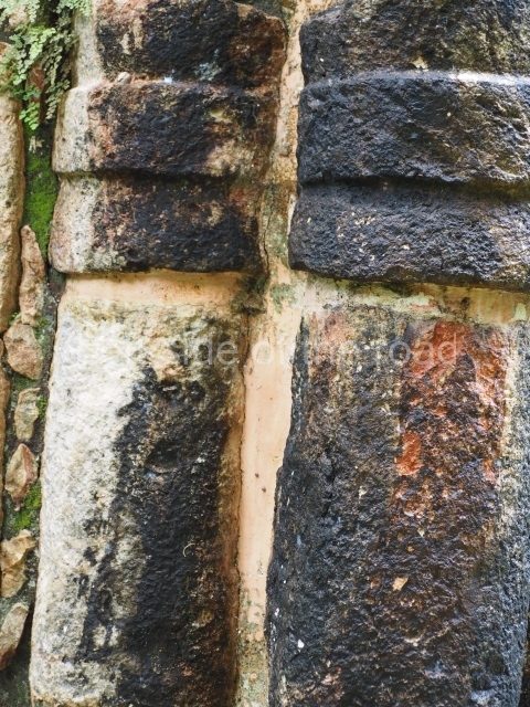
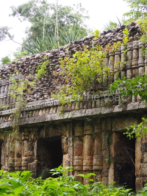
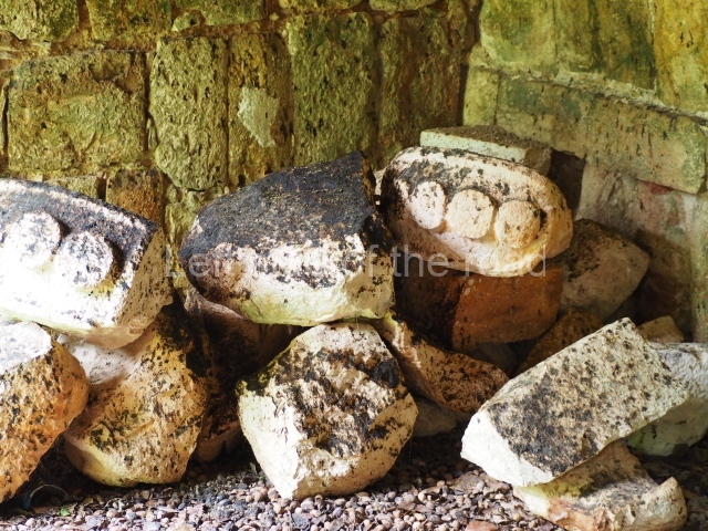
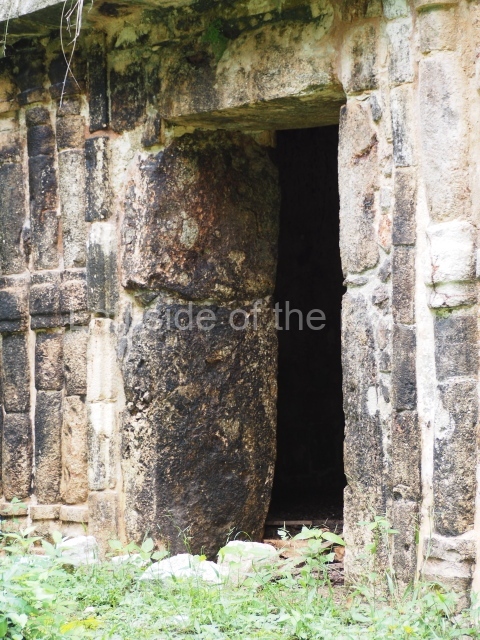
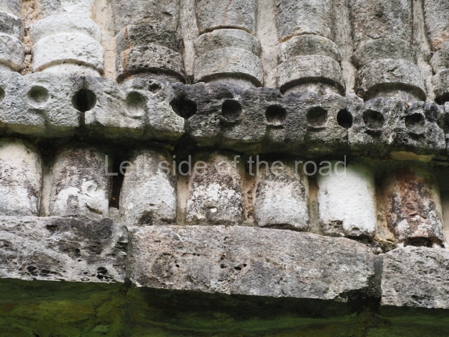
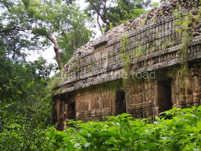
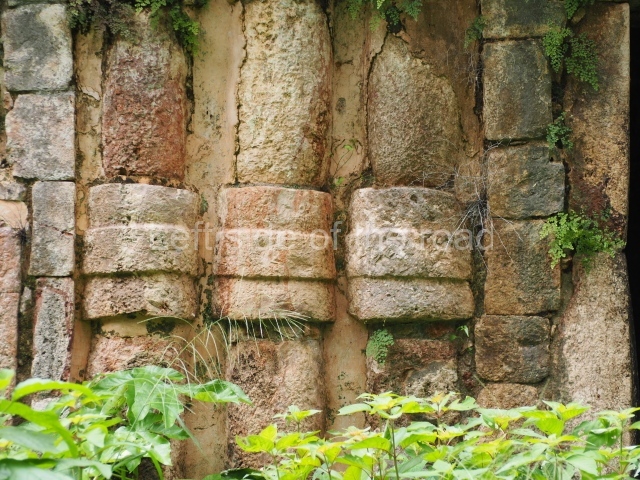
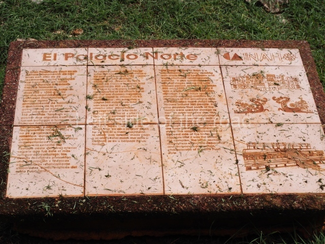
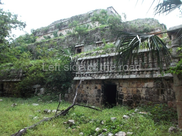
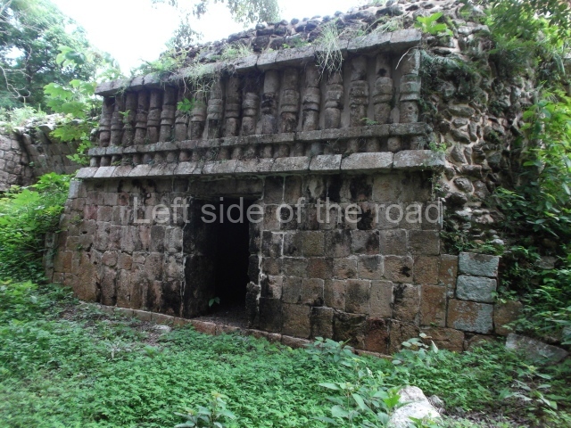
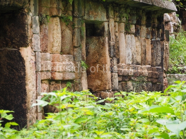
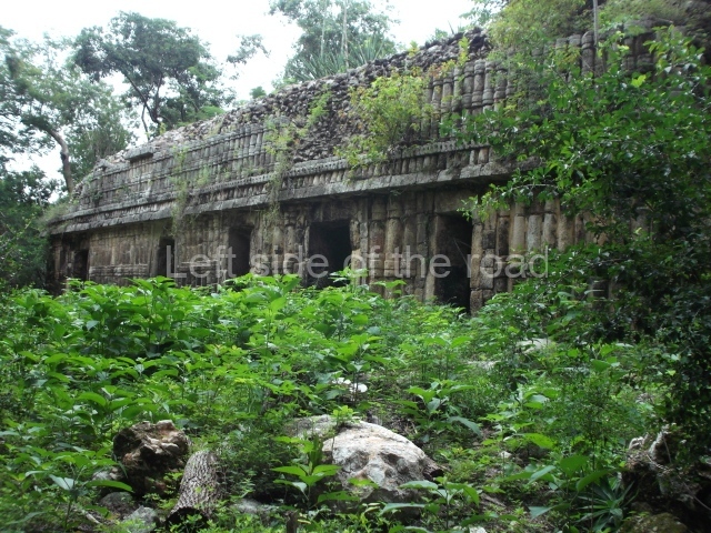
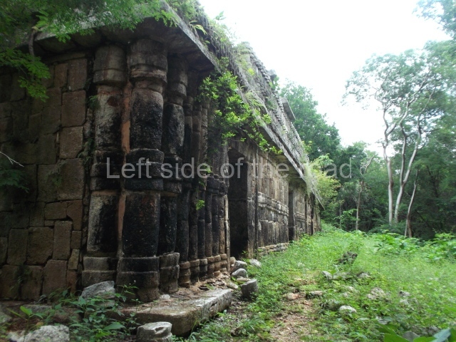
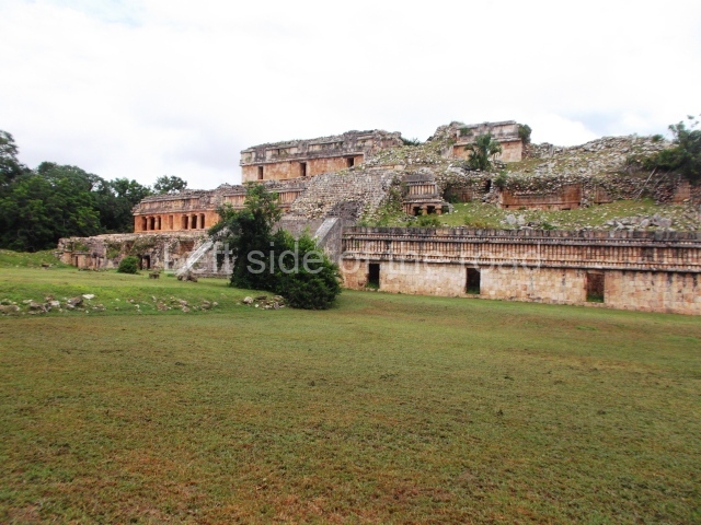
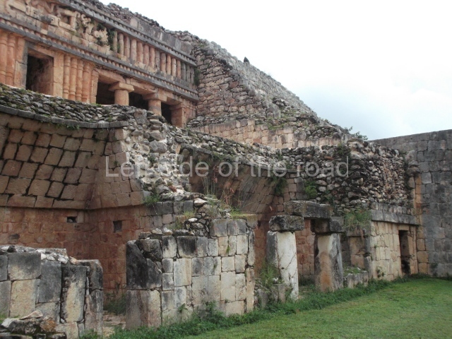
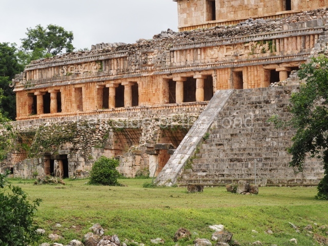
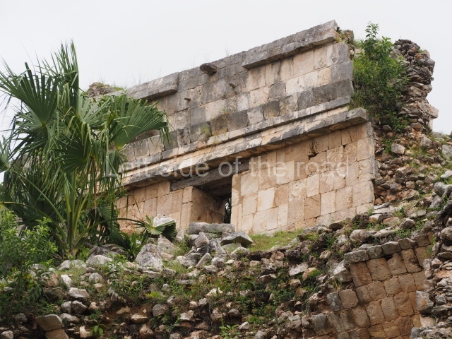
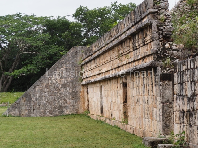
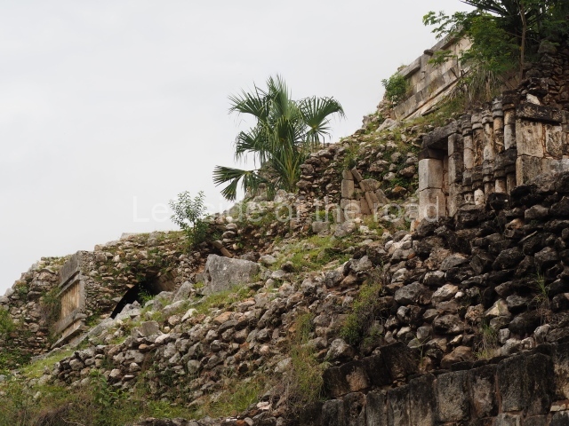
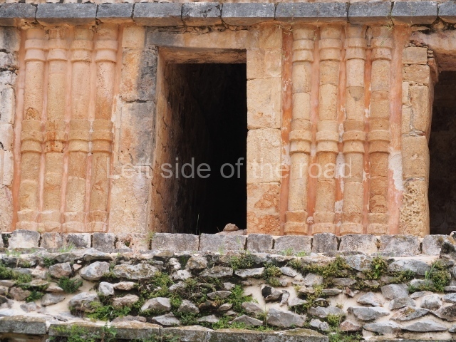
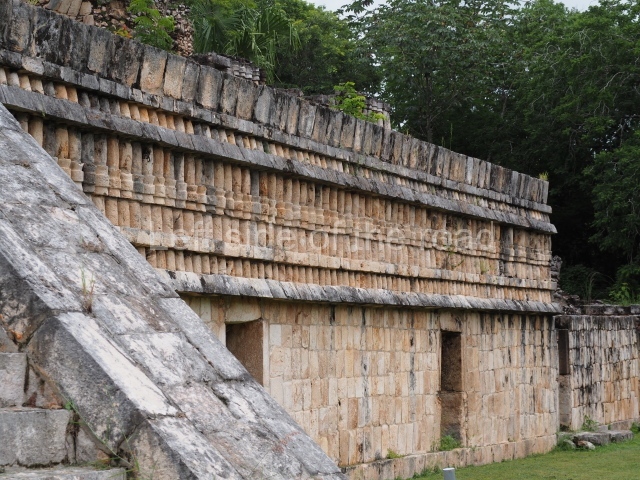
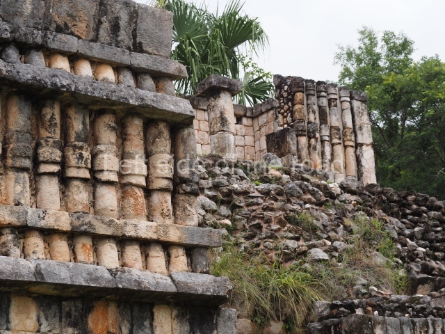
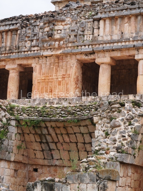
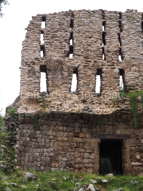
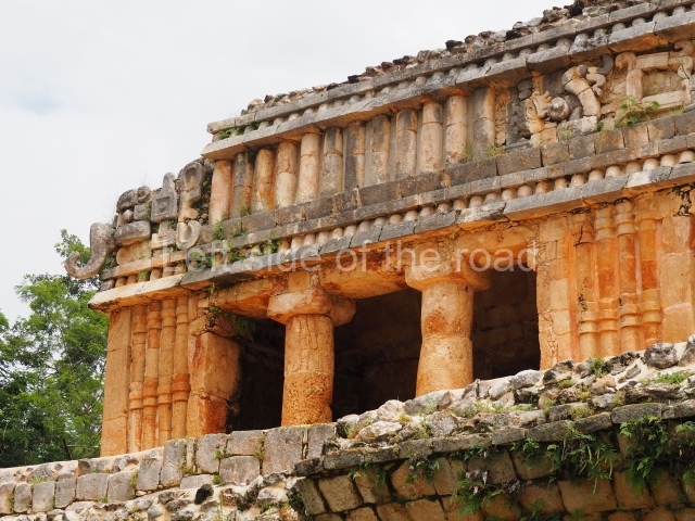
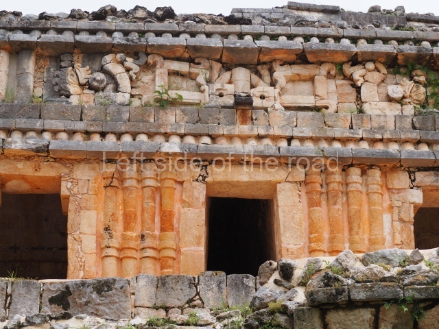
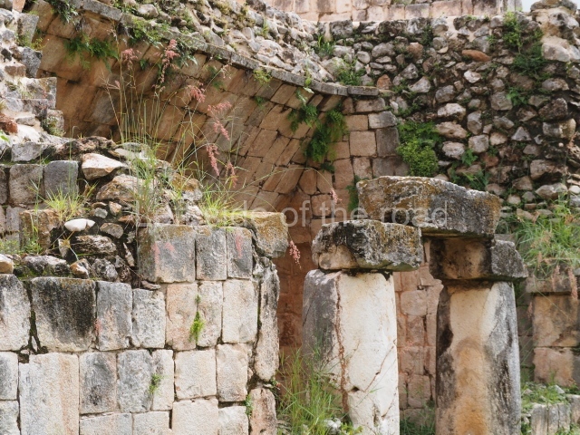
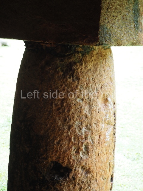
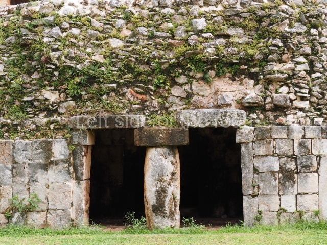
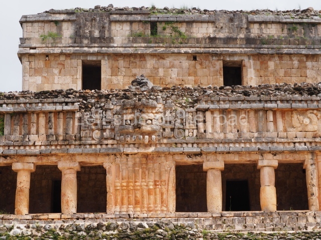
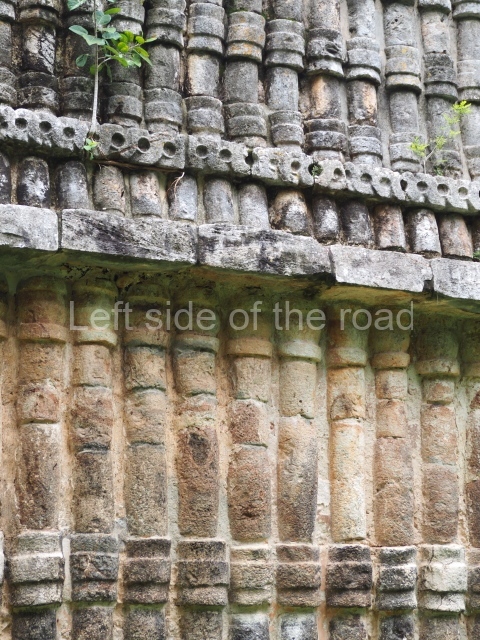
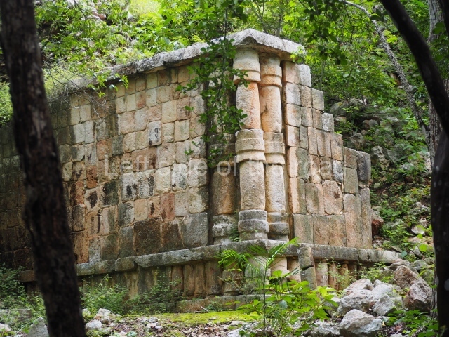
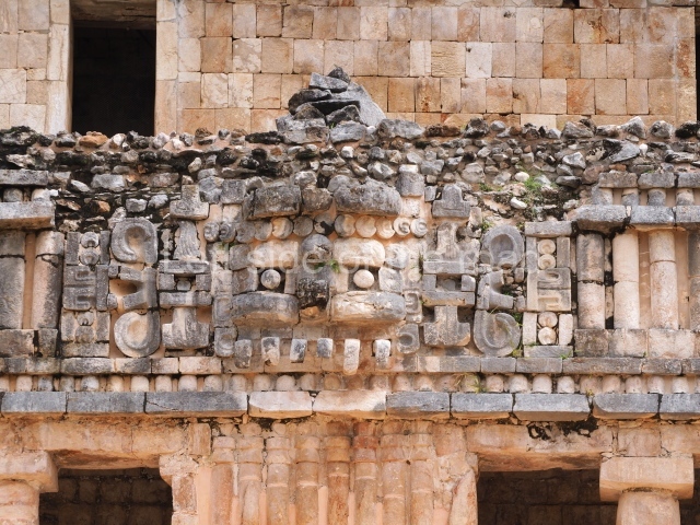
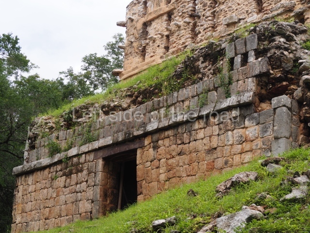
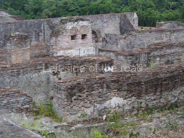
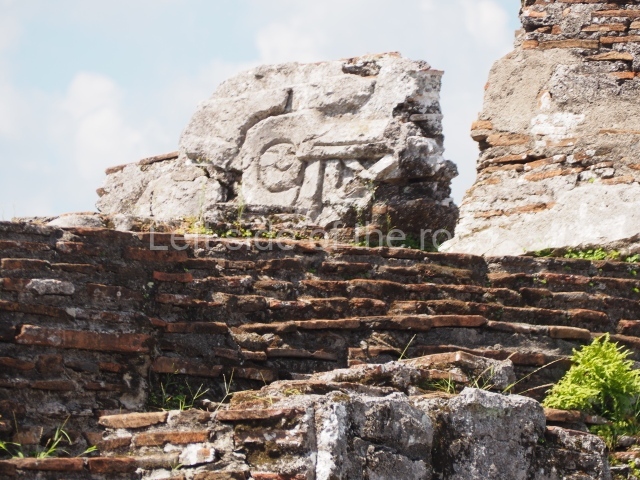
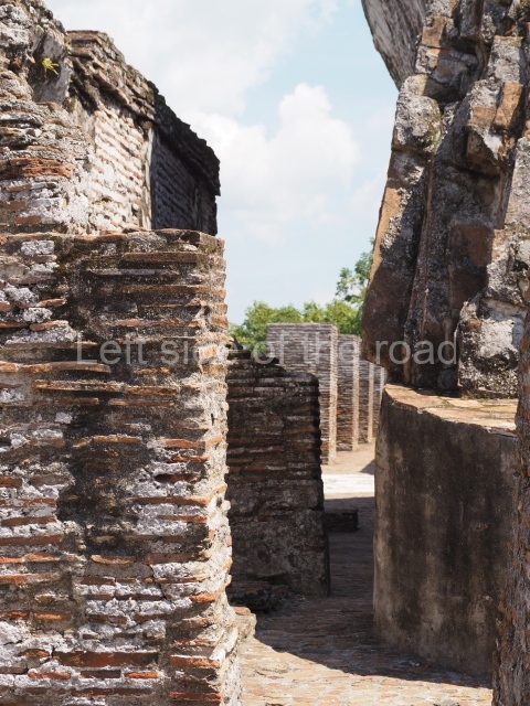
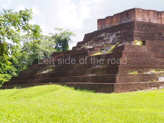
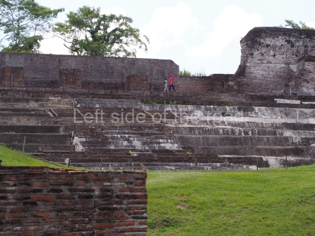
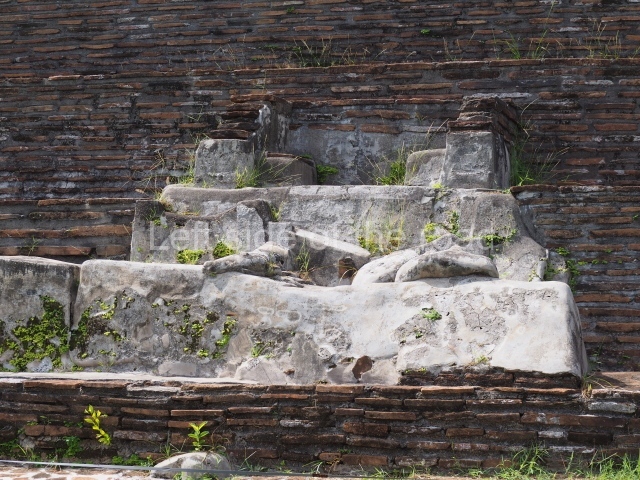
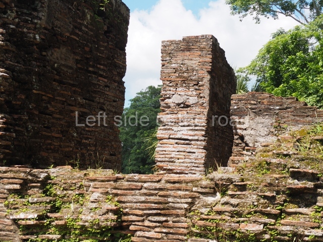
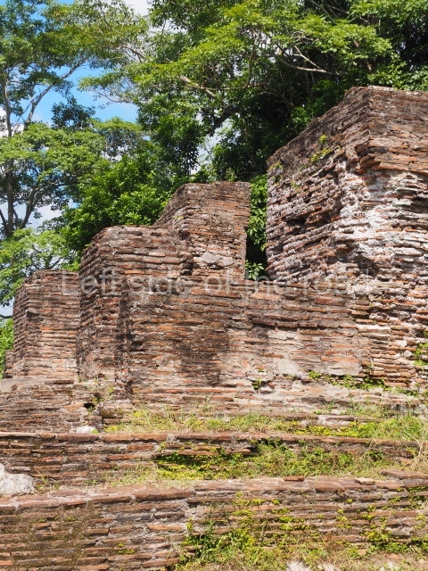
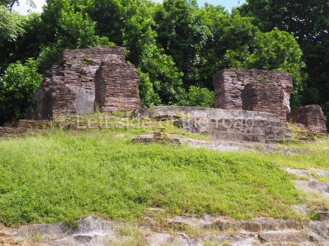
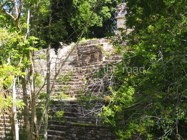
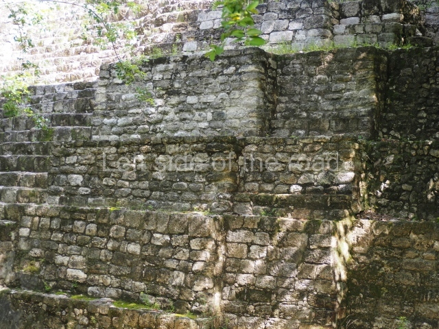
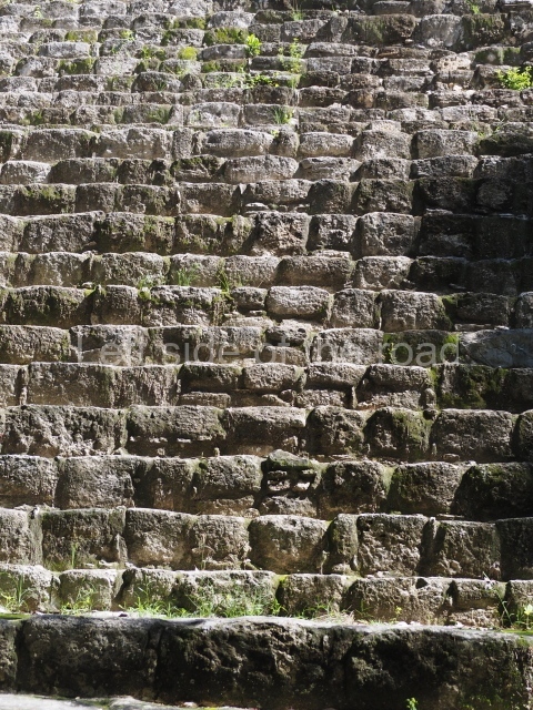
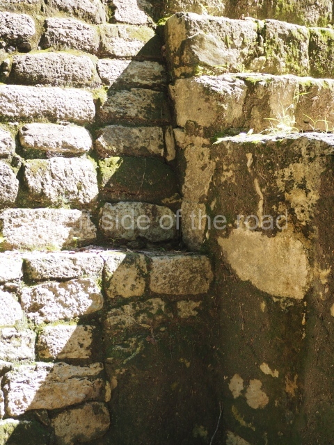
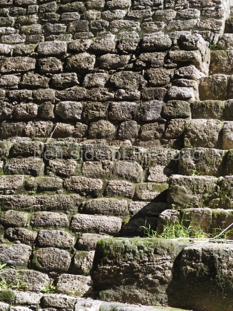
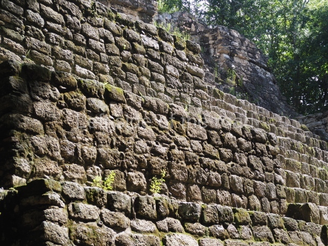
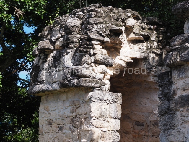
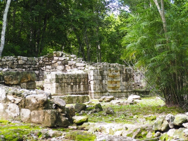
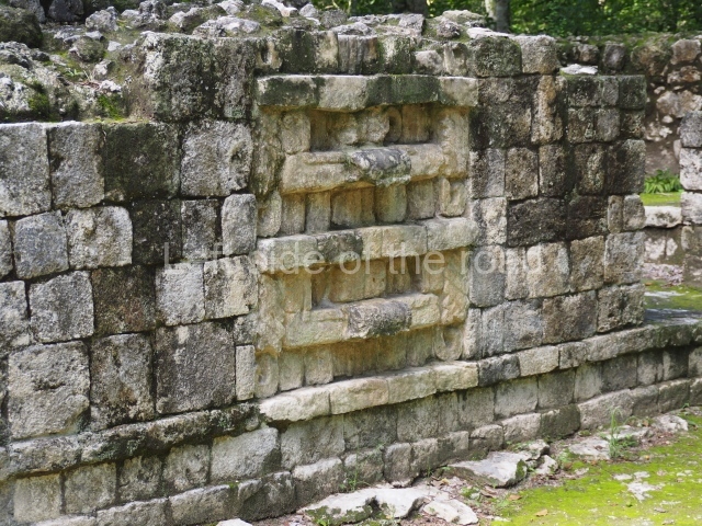
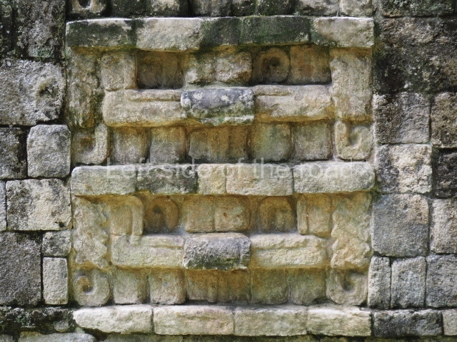
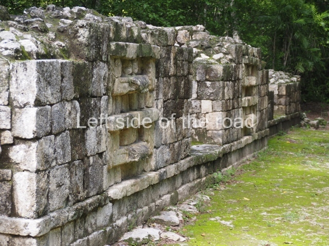
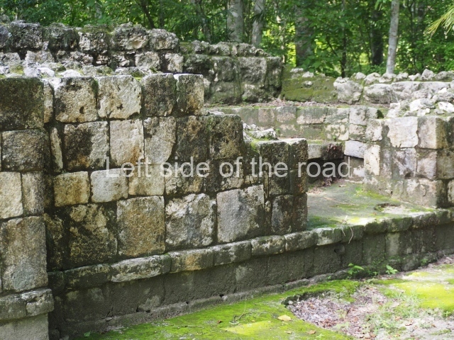
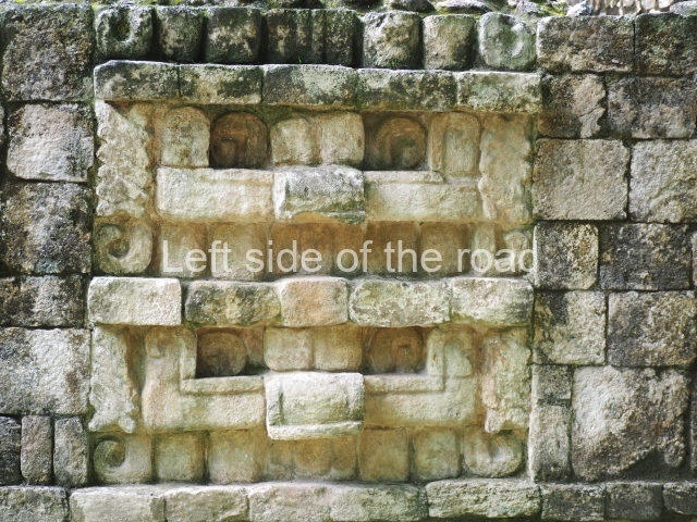
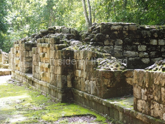
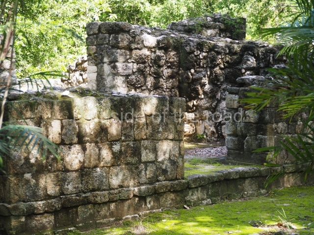
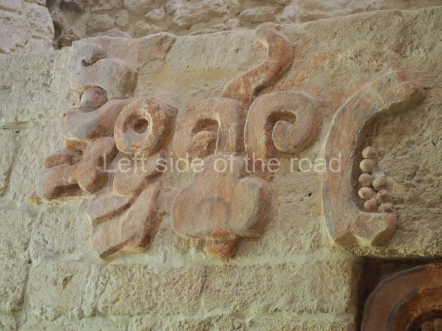
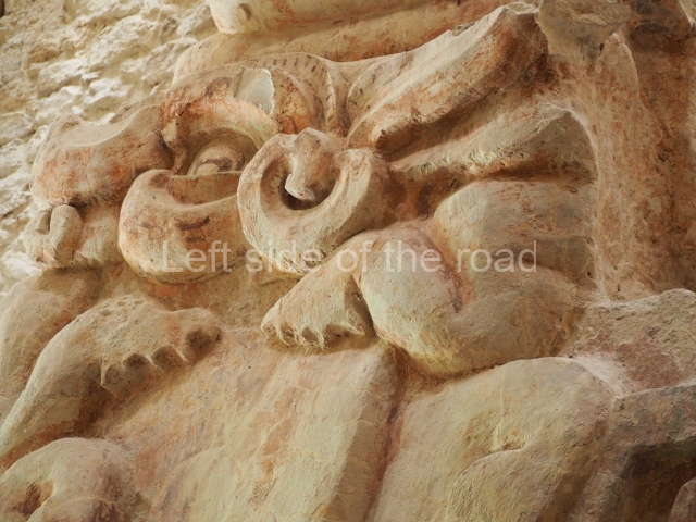
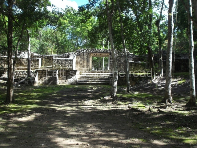
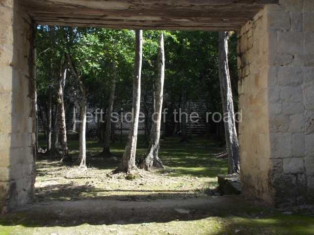
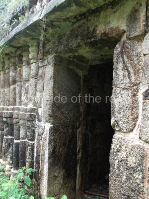
This is the best known building at Sayil, being noted for its sheer scale and decoration. In certain publications it is referred to as the Great Palace or the North Palace. It was built on ground that had been levelled and adopts the form of a vaulted group on three stepped tiers comprising over 90 rooms; its basic function was to serve as the residence of the governor’s family and closest circle. The main facade faces south and rises from a platform which also marks the beginning of the causeway that leads to the other groups that form the urban landscape of Sayil. The first two levels are defined by ‘tripartite’ entrances which eventually lead to each of the rooms inside the building. The width of these opening was achieved by a novel technique in the Maya area: the use of modestly decorated, monolithic columns, which permitted the creation of large, well-lit surfaces covered either by flat roofs or corbel vaults. The facades display a harmonious and balanced combination of various decorative panels: on each level, the facades have a different type of decoration, the most notable being the middle section with its complicated mosaic designs, typical of the Puuc style. On the bottom level, the west facade once displayed medial moulding combined with zoomorphic masks, the latter no longer visible. On the east facade, the smooth panels are combined with a frieze decorated with colonnettes. The second level offers a magnificent example of Puuc architecture at its height, combining simple entrances with much wider ones and a decorative repertoire defined by the use of colonnettes on the lower frieze. Medial and upper mouldings decorate the short sections of these same elements which alternate from wall to frieze between the doorways, the portico openings and the sculptural decoration. The walls are decorated with colonnettes with ataduras or moulded bindings in the middle and at the ends, while the frieze, simple and bare, serves to accentuate the wall decoration. On the frieze above the central openings are robust stucco masks representing the front view of a long-nosed deity, flanked by serpents shown in profile. The decoration of the lower levels of the Palace contrasts enormously with that of the top level, which is much simpler. This level was added at later date and part of the lower levels must have been filled in to support the weight of it.

Mirador.

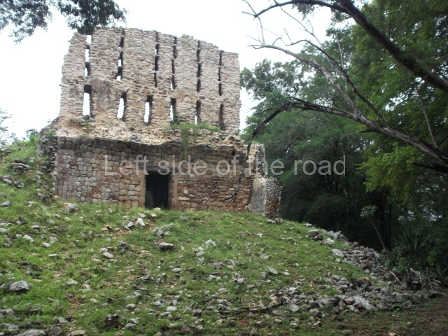
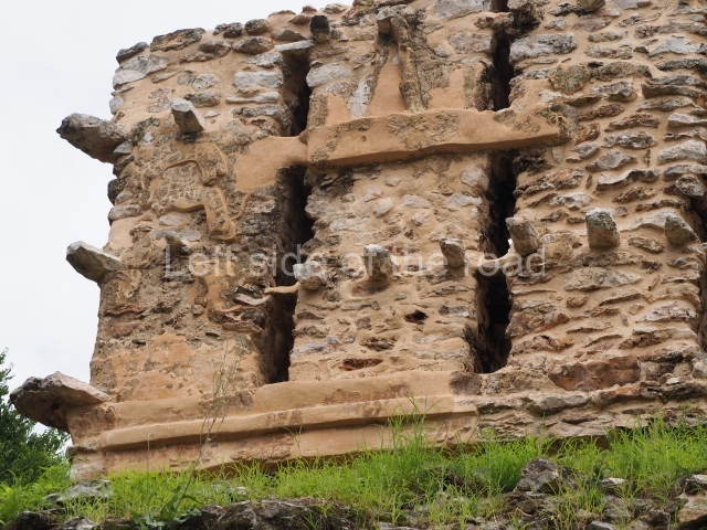
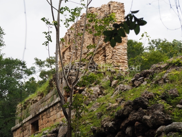
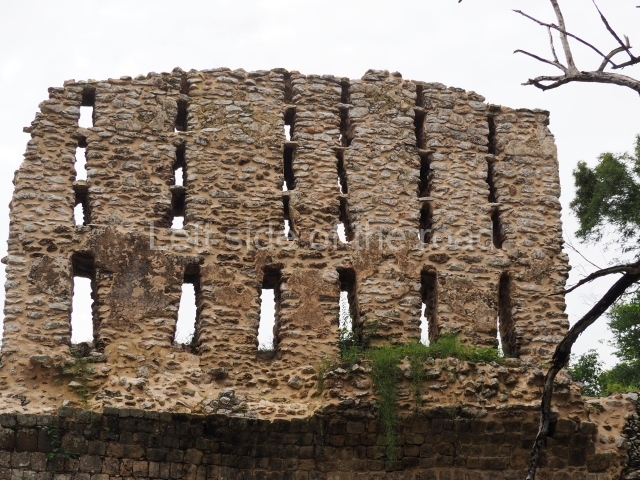
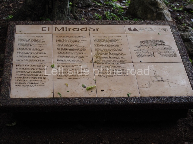
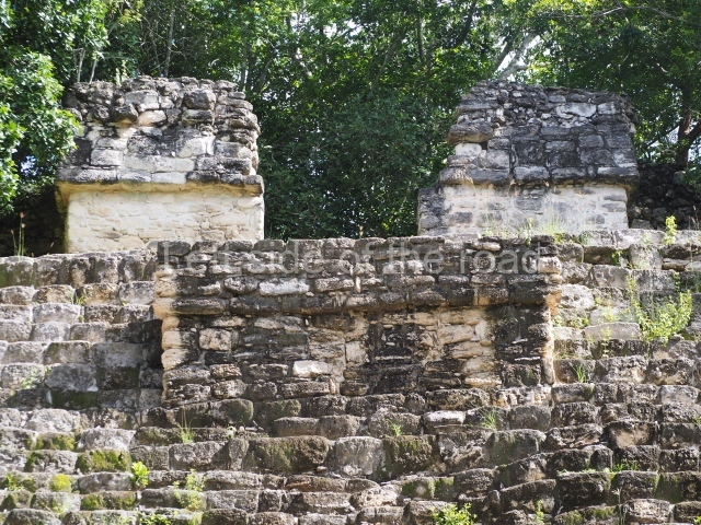
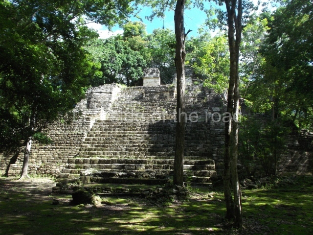
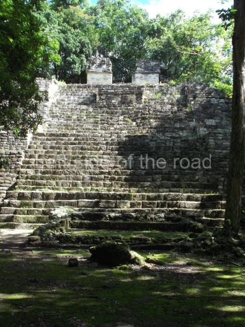
Situated next to the south end of the causeway and built on a stepped platform, the reconstructed building we see today is defined by its high corbel vault and an equally high roof comb. Nowadays, the facade is bare and simple, with medial moulding that must have contrasted with the roof comb which still displays traces of butts for stucco anthropomorphic figures. The building originally contained five rooms, of which only one has survived.

Temple of the Hieroglyphic Lintel.

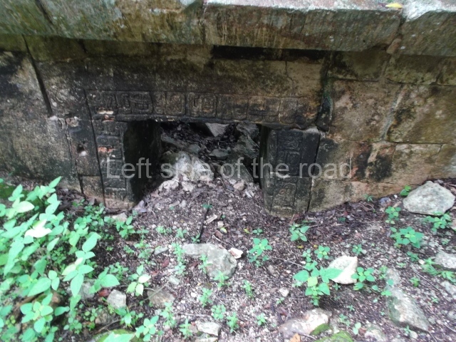
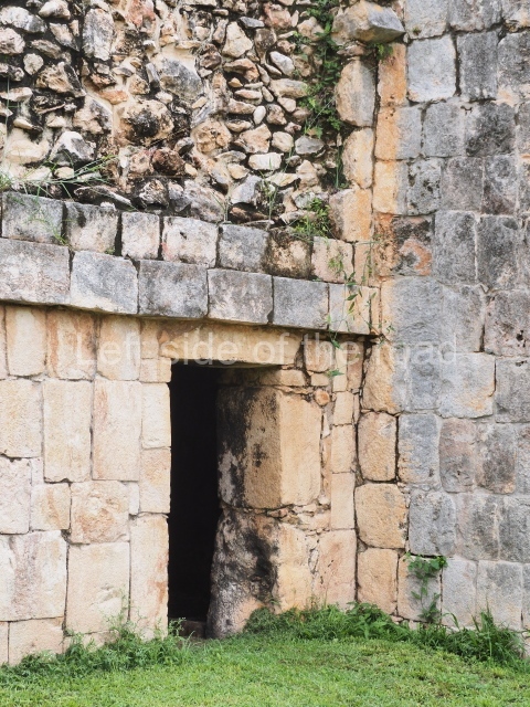
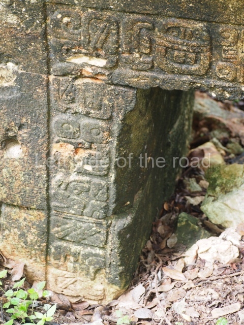
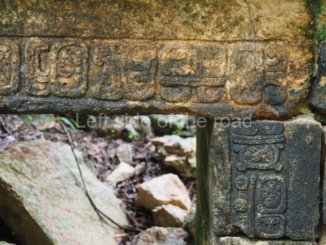
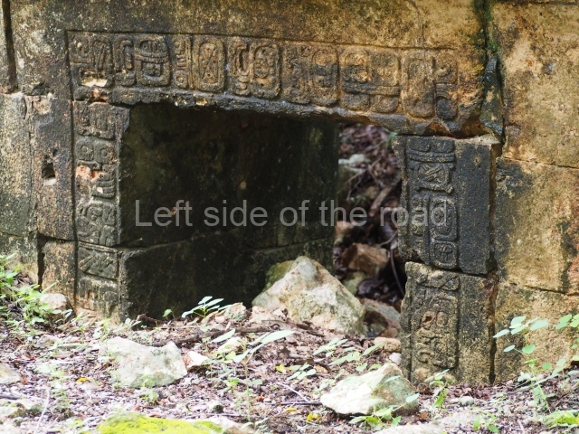
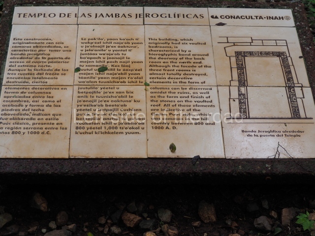
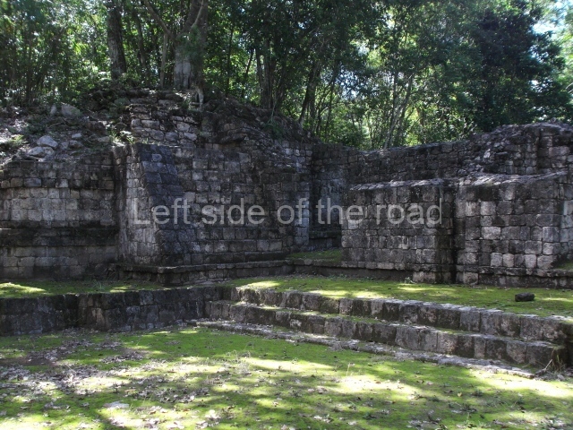
This forms part of a small quadrangle. It is poorly preserved, with only three of its original rooms still visible today. The north room displays an interesting doorway from the architectural point of view and relatively rare in the Maya area: a band of 30 glyphs, many fairly well preserved, decorates the jambstone and lintel of the main entrance to the building.

South Palace.

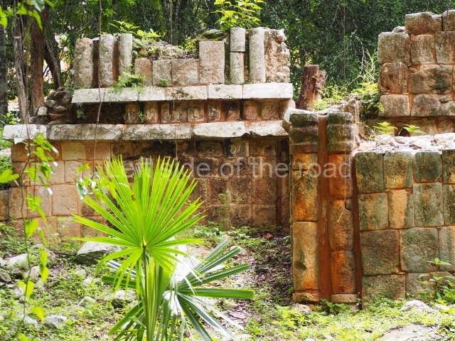
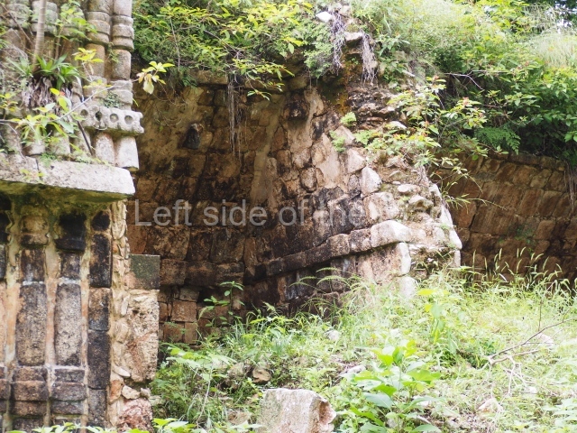
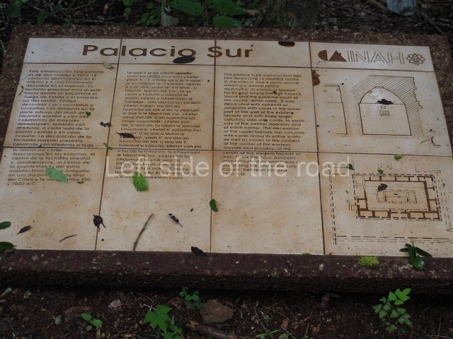
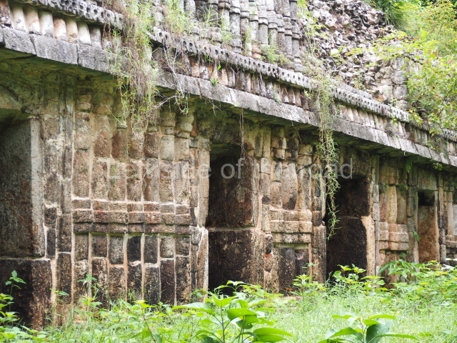
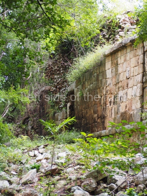
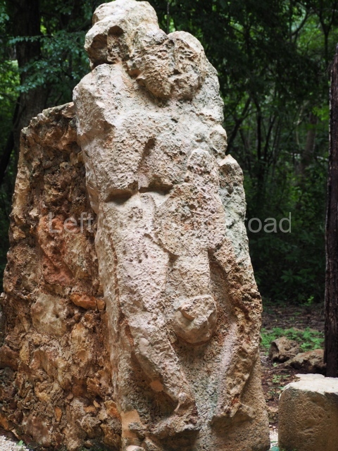
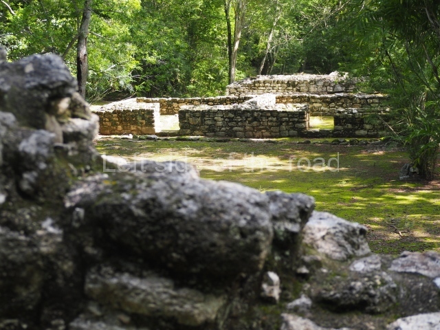
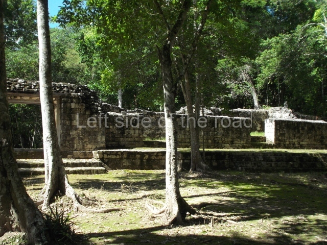
This is a fairly simple, three-room structure with a central portico defined by two columns, lintels and capitals with carved figures and anthropomorphic deities. It is the largest building in the south group. A two-level structure, its main facade faces east. On the ground floor the rooms are arranged around a solid volume. The central room on the facade has three doorways. Nearly all of the decoration is articulated by horizontal lines of colonnettes.

Rodrigo Liendo Stuardo

From: ‘The Maya: an architectural and landscape guide’, produced jointly by the Junta de Andulacia and the Universidad Autonoma de Mexico, 2010, pp 375-378.

Sayil

Sayil

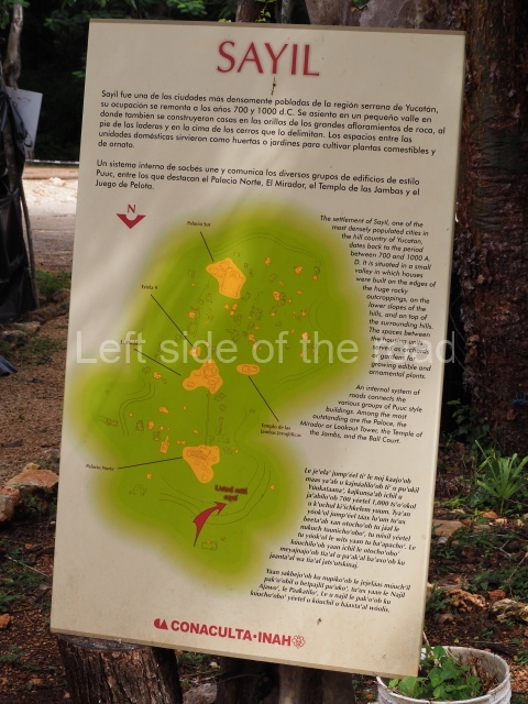
1. Palace; 2. Temple of the Hieroglyphic Lintel; 3. Mirador; 4. South Group.

How to get there:

Not easy if you don’t have your own transport. There are no buses or colectivos that run along this road. Although the three sites (Labna, Xlapak and Sayil) are all within a 15km stretch of the road unless you hire a taxi from Santa Elena (expensive) you have to depend upon your wits, imagination and good luck.

GPS:

20d 10′ 47″ N

89d 39′ 16″ W

Entrance:

M$70

More on the Maya

Comalcalco – Tabasco – Mexico

Comalcalco

Comalcalco

More on the Maya

Comalcalco – Tabasco

Location

This site is situated north of the city of Comalcalco, in the state of Tabasco, on the country road leading to the village of Independencia.

History of the explorations

The site was first reported by the French explorer Desire Charnay in 1880. Many of his impressions were based on the descriptions provided by Carl Berendt, who visited Comalcalco and other sites in the region in 1869. Frans Blom and Oliver la Farge described the site again in 1925 following explorations funded by Tulane University. They drew up a provisional map and their impressions of Comalcalco can be found in the hook Tribus y Templos, obligatory reading for anyone Interested in the archaeology of the Maya lowlands and the Usumacinta Basin. The first archaeological Intervention was carried out by Gordon Ekholm in 1956-57 and was funded by the American Museum of Natural History. The researchers were particularly surprised by the use of brick as a building material and their discovery of bricks with inscriptions and graffiti. In 1960, the INAH embarked on a series of archaeological explorations that have continued to this day. That year, Roman Pina Chan led the excavations In the Great Acropolis and consolidated several of the more poorly preserved buildings. From 1972 to 1982, the archaeologist Ponciano Salazar directed the excavations and building consolidation, providing us with the knowledge we have today of the city’s architecture and timeline. In the last five years, Ricardo Armijo and the INAH have conducted more detailed excavations in the areas already explored, placing great importance on the use of the rich epigraphic corpus to understand the history of the site and its archaeological significance.

Pre-Hispanic history

Comalcalco has benefited from the rapid development of Maya epigraphy in recent years, as evidenced by the fact that we now know much more about the genealogy of rulers. Although this does not correspond entirely to the long period of occupation, it does shed light on court life at the site during the 6th, 7th and 8th centuries. We also know that that the pre-Hispanic name for Comalcalco was Joy Chan, and that in AD 649 the city was defeated in battle by Bahlam Ahaw, the ruler of Tortuguero, an important site mid-way between Comalcalco and Palenque. Our knowledge also extends to certain aspects of the lives of eight successive rulers, commencing with Chan Tok’ I in the 6th century and terminating with the reign of El-Kinich (Burnt Sun) at the end of the 8th century.

Site description

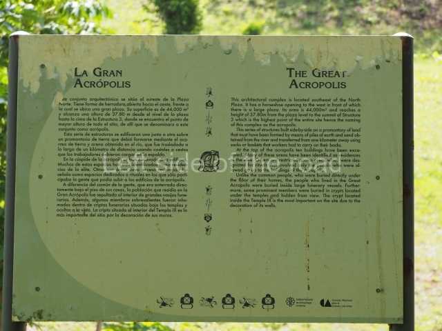
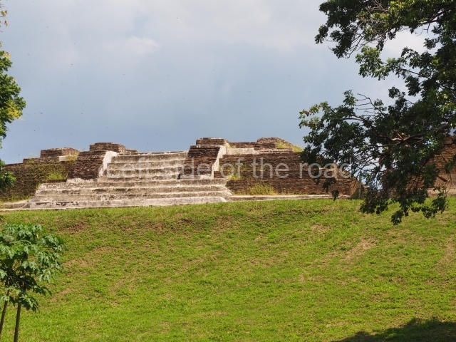
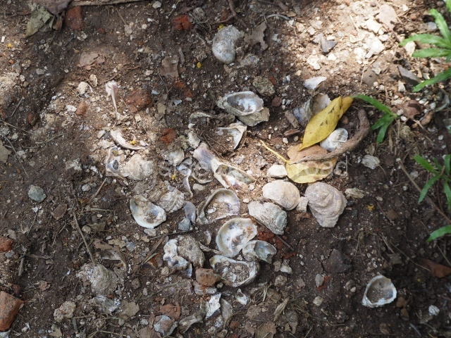
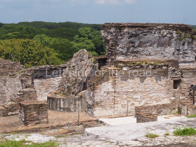
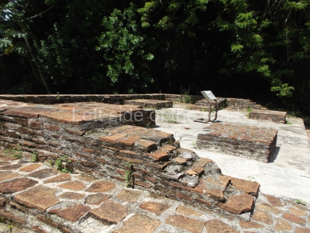
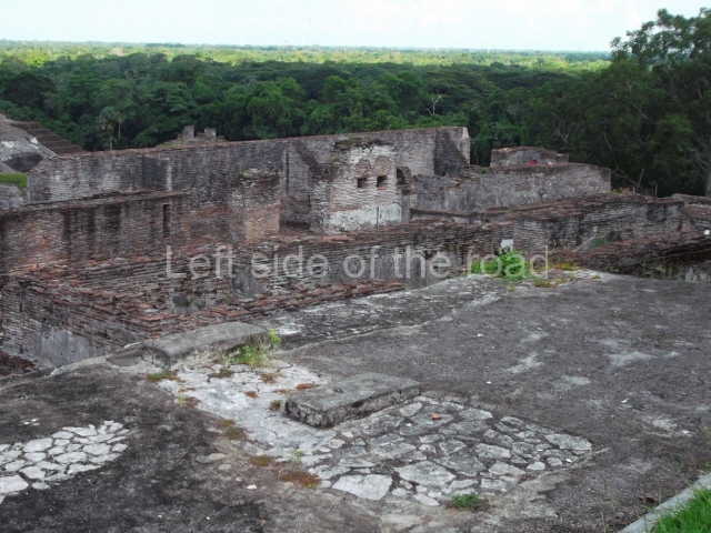
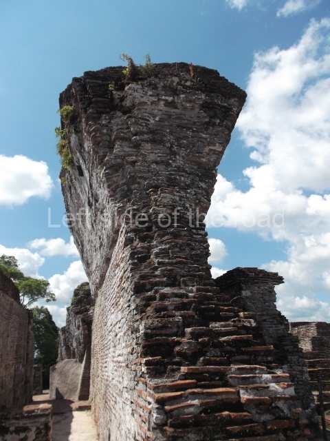
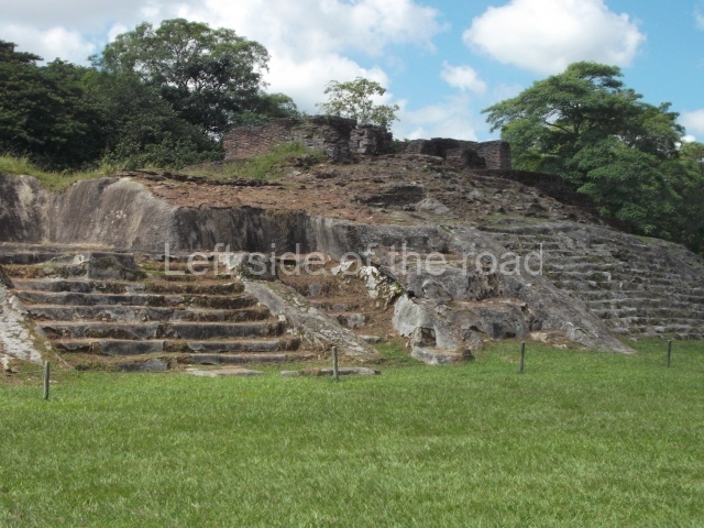
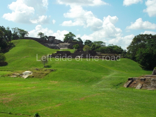
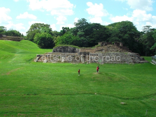
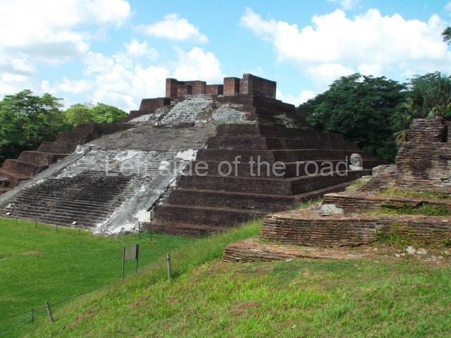
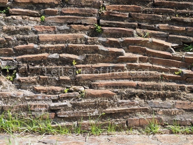
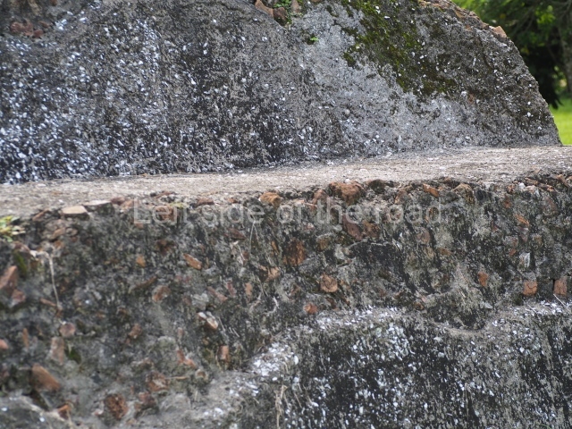
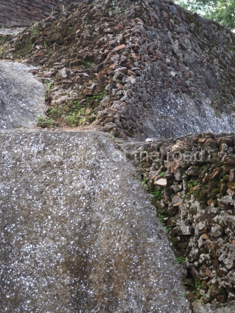
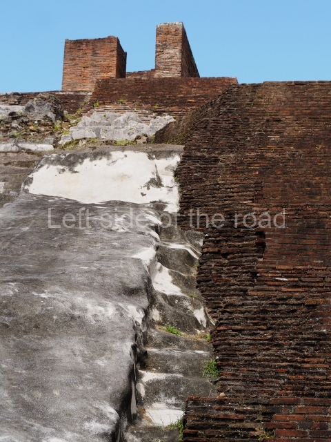
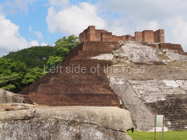
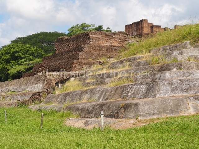
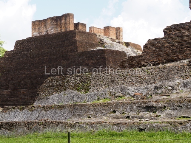
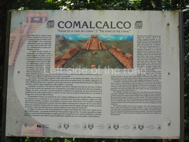
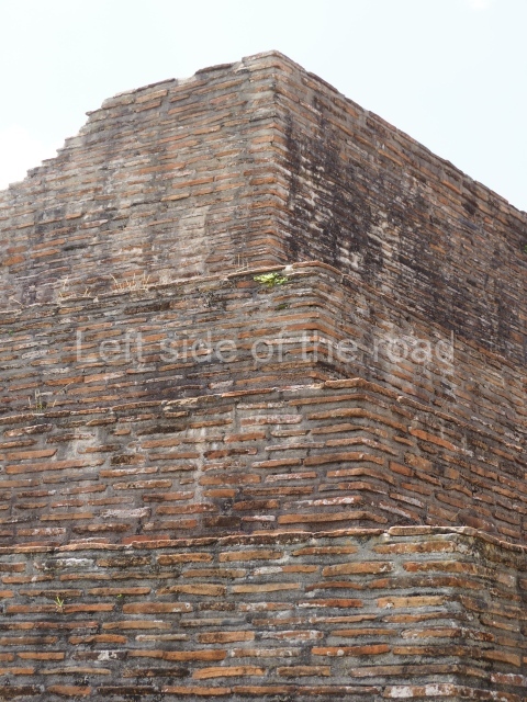
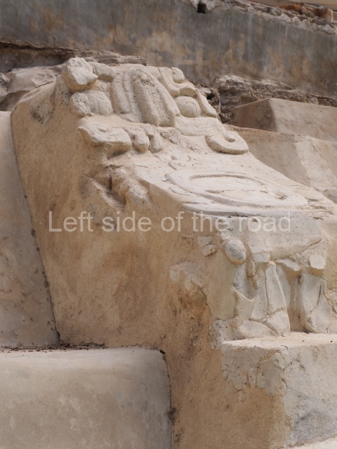
The city is situated on slightly elevated ground with panoramic views of the alluvial plain, very close to the River Mazapa-Dos Bocas, also known as the River Seco (‘dry’). The size of the city is subject to debate. It would appear to have been more dispersed and less populated than Palenque. Altogether, 432 buildings have been recorded, distributed between three Architectural groups: the North Plaza, the Great Acropolis and the East Acropolis. The city’s original name, furnished by the phonetic interpretation of its emblem glyph, is Joy Chan (Surrounded Sky). Although it was developed over a long period, from the middle of the Preclassic to the Terminal Classic, the Introduction of bricks for the buildings in the North Plaza and the Great Acropolis dates from AD 500. Excavations have yielded a brick with the calendric date of 10 August 561, which is probably when construction of the Great Acropolis commenced. Between the 1st century BC and the 6th century AD, the buildings were made of rammed earth and then covered with stucco, while the temples, situated on weak pyramids, were wattle-and-daub constructions complemented with tree trunks and roofs of palm or guano. In the 7th century AD, the lack of stone obliged the Maya to build their monuments out of fired bricks. Comalcalco is also noted for the elongated buildings with parallel bays on tiered sloping platforms, very like the ones to be found at Palenque. The fact that these buildings are so well preserved today is owing to their excellent mortar, masonry, fine execution, drainage systems based on fitted fired-clay pipes, and a skilful spatial layout. Another characteristic of Comalcalco is the use of a variety of techniques. There are buildings made out of rammed earth and others made out of adobe bricks. Meanwhile, the building facades were covered with a lime stucco and then a thick coat of paint. They used perishable materials such as guano, lianas and wood to build roofs and cover the walls of both public and domestic buildings. The mortar, principally obtained from ground oyster shells rather than the lime obtained from ground limestone, as at Palenque, served as a binder for the clay bricks. The main buildings were covered with decorations modelled in the round, representing a great variety of themes: richly garbed dignitaries, mythological creatures, glyphs and natural motifs.

North plaza.

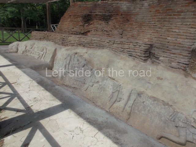
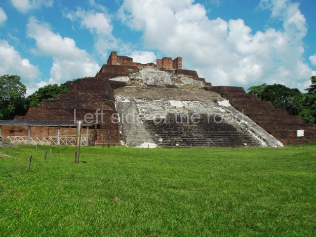
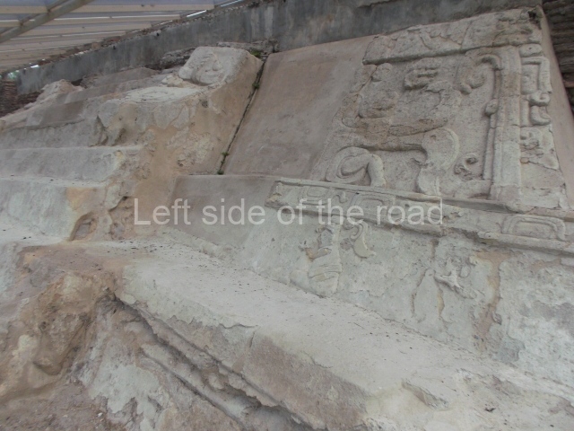
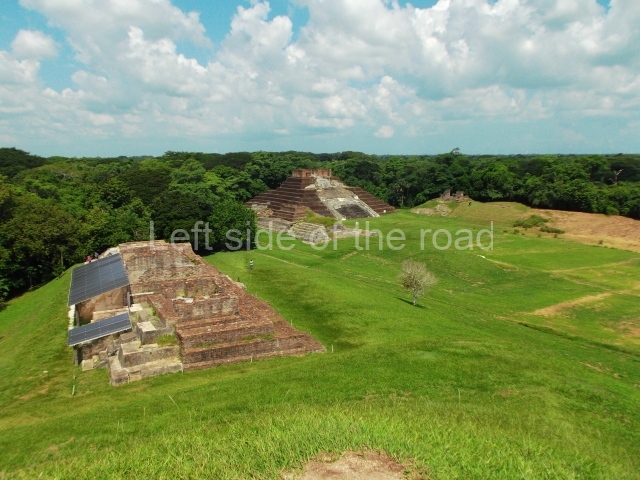
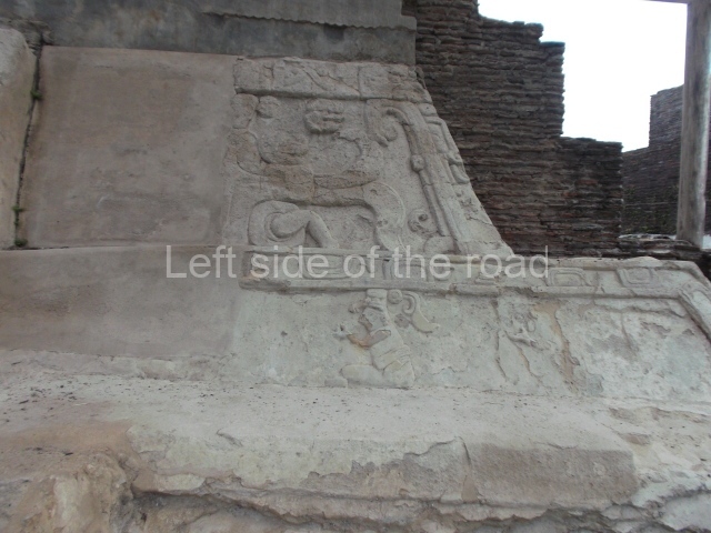
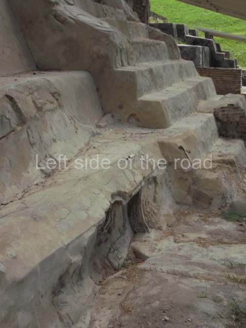
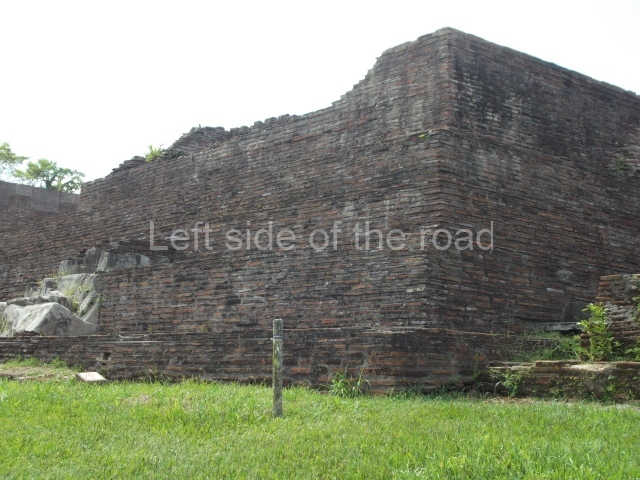
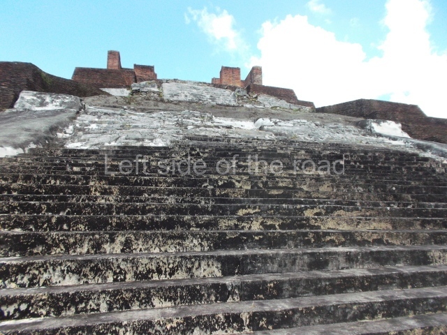
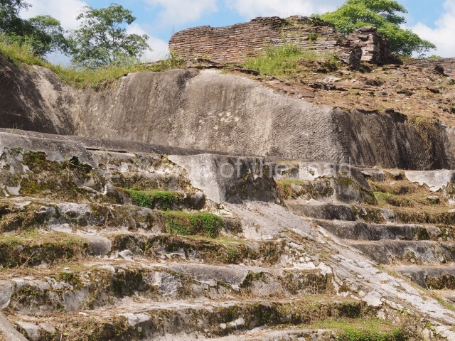
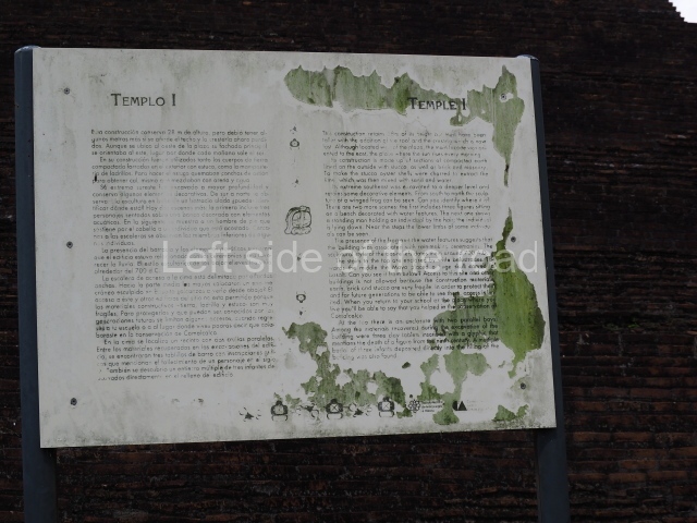
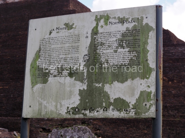
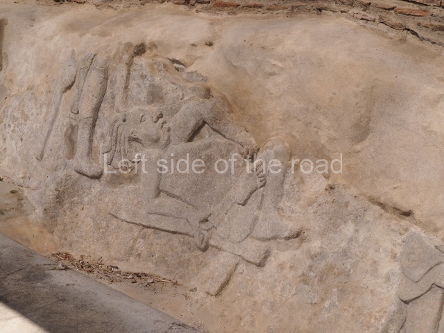
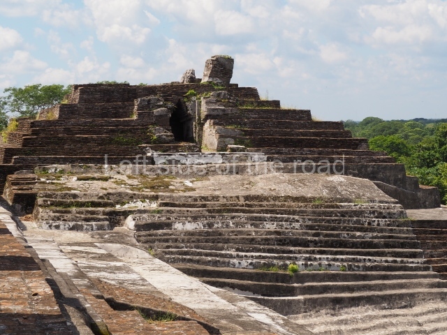
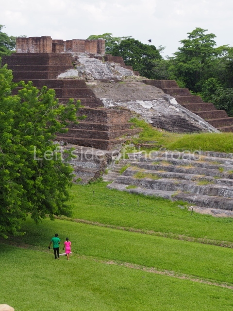
This group displays a simple, axial arrangement. The constructions surround a large rectangular plaza, with the long side running east-west. The north side of the plaza is delimited by a long platform, at the west end of which once stood Temple I. The south side is delimited by another elongated platform with the remains of Temple III at its west end. Both are modest constructions built out of small bricks and comprising two bays, the front one occupied by the portico and the rear one by the shrine, like the Temples in the Cross Group at Palenque. Temple I is the most important monument in the North Plaza and because of its vast dimensions (standing nearly 25 m tall) the only one on the west side. It consists of a ten-tiered pyramid surmounted by a plinth and temple, the latter reached by the stairway on the facade overlooking the plaza. The first section of the stairway (36 steps) corresponds to the first construction or stucco phase and the remainder to the brick phase. The central part of this space yielded three radial altars aligned in a row. Very little evidence remains of the decoration that once covered the main facade, and only a few stucco models on the first slope of the platform have survived in a recognisable condition. It is possible to discern the figure of a toad accompanied by three dignitaries seated on a band, although only the torso and legs have survived. This same slope or talud also displays an individual pinned down on a bench by another figure, no doubt his captor. Temple I is accessed via a wide ramp or balustraded stairway culminating in a series of narrower steps with a basalt sculpture of a skull. Numerous funerary urns have been discovered in this group. This burial practice has been described in connection with other Maya areas (Guatemalan Highlands, the Balancan region, Tabasco) and at Comalcalco it was used for burying high-ranking dignitaries. The urns are enormous vessels made out of modelled clay and deposited inside buildings. They furnished the remains of shrouded individuals in a sitting position accompanied by a rich offering of ceramic objects, earrings, figurines, shark teeth, jaguar and crocodile bones, tortoise shells, shell earrings and obsidian or flint knives. Of the 31 urns discovered, 23 were found in the North Plaza. The most important offering in terms of the quantity and quality of the objects is Funerary Urn 26, deposited between Temples II and Ha, which contained the incomplete remains of an adult male accompanied by 52 shark teeth, 90 shell earrings and 30 stingray tails. Many of these objects were inscribed with long texts that made reference to important events and dates in the life of Aj Pakal Tahn, a high-ranking dignitary who lived at Comalcalco between AD 765 and 777.

Great Acropolis.

This is the largest architectural group in the city, covering a surface area of 43,878 sq m and standing 39 m tall. It comprises several buildings on different levels and the main entrance is situated on the west side. Three funerary buildings, a palace, two temples and four residential units have been excavated. The excavations at temples VI and VII reveal a short occupation sequence and two construction phases. This is not representative of the group overall because the Acropolis has ceramic remains from a much earlier date. Visible on the main facade of Temple VI is a stucco sculpture of one of the principal deities in the Maya pantheon, Itzamnaaj, a celestial deity identified by his front band decorated with flowers and his curved nose. The three buildings that have been excavated are tiered platforms with funerary crypts inside them. They are surmounted by double-bay temples with interior shrines. The excavations have shown that the entrance to the funerary crypts was sealed and hidden by stairways. Temple IX (the Tomb of the Stuccoes or the Nine Lords of the Night) still contains the funerary crypt as well as the bases of the temple walls. The crypt walls display the stucco-modelled figures of nine individuals. The remains inside the tomb belong to one of the city’s rulers and the dignitaries in the scene probably represent important members of the court. This tomb is situated south-east of the Palace, on a lower level than the artificial platform, and is regarded as the most important of the three tombs found at Comalcalco. It measures 3×3 m and is approximately 2.8 m tall. Situated in the uppermost section of the Great Acropolis is an architectural group comprising the following constructions:

Popol nah or House of the mat.

This contains the remains of stucco-modelled bands which according to Ricardo Armijo represent the ‘royal mat’ or pop, the symbol in Mesoamerican cultures of the political and religious power wielded by the rulers.

Palace.

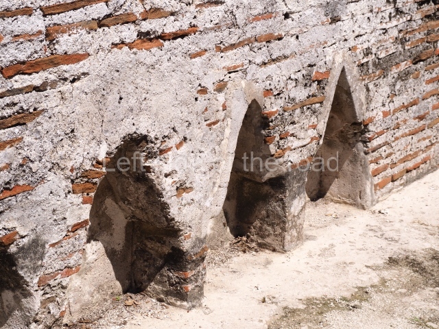
This imposing structure measures 80×8 m and stands 9 m tall. The largest construction at the Acropolis, it is an excellent example of what are known in the colonial sources of the Guatemalan Highlands as ‘elongated houses’ or nim ha, which served as the rulers’ residences. The facade of this construction is defined by pilasters with stucco-modelled images, reminiscent of Palenque, and it contains two long galleries of rooms along the west and east sides. The galleries are interconnected and roofed with brick corbel vaults covered in stucco, while their walls display the remains of niches or openings. Some of the rooms contain low altars in the fashion of abutted benches;

Sunken Court.

Situated south-east of the Palace at a lower level, this space measures approximately 23×11 m. The north side is delimited by Structure 2, a residential construction of which only the main facade has been explored. Visible today are two pilasters and three entrance openings, as well as the remains of what was probably a dividing wall. The south side of the court is delimited by Temple IV or the Tomb, a platform measuring approximately 18.5×7.50 m and standing 10 m tall. A central stairway leads to a temple at the top of the platform containing two bays, one for the portico or vestibule and the other subdivided into three cells with a shrine in the middle one. Also at the centre of the temple is a tomb whose walls are decorated with stucco figures. Flanking the east side of the court is another platform with a central stairway containing an altar with a hieroglyphic Inscription in the stucco. This construction is situated at an angle to Structure 2 to the south-east, which consists of an altar measuring 2×2 m and standing 0.6 m high, with vertical walls and light moulding. The other buildings that have been excavated in the Great Acropolis are:

Temple V.

Situated west of the south side of the Palace, this north-facing structure is similar to Temple IV. At Its base is a tomb whose entrance was sealed by the stairway.

Temple VI or Mask platform.

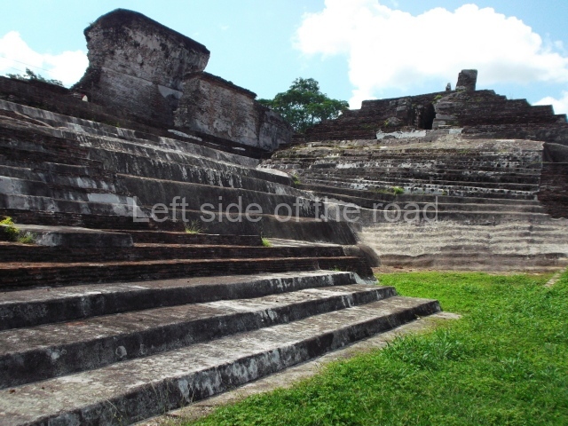
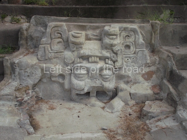
This elongated monument oriented east-west measures 15×12 m and stands approximately 10.5 m tall. It displays two construction phases, the first characterised by the use of stucco and the second by the use of brick. The south-facing facade corresponds to the first phase and overlooks the Great Acropolis Plaza. It is a three-tier platform with a central stairway flanked by balustrades, also tiered, at the base of which is a handsome stucco mask with the effigy of the sun god. The north, east and west facades belong to the second construction phase, as does the temple at the top of the three-tier pyramid. The temple rests on a low plinth and adopted the same layout as temples IV and V: a portico with three openings formed by pillars and in the rear bay the shrine and two lateral cells. The roof was the typical Maya vault.

Temple VII or Temple of the seated figures.

This is situated on the west side of Temple VI. Its main facade is south-facing and the first two tiers display various seated figures, as if depositing an offering; the third tier shows a stylised serpent and a band of hieroglyphs. The central stairway, which is flanked by balustrades, led to the temple, the first version of which was made out of wattle-and-daub and the second out of brick. It adopted the typical format of a portico and shrine with lateral cells.

Temple VIII.

This has not been explored but it must have resembled the previous temples as it constituted the third element on the north-west wing of the Great Acropolis.

From: ‘The Maya: an architectural and landscape guide’, produced jointly by the Junta de Andulacia and the Universidad Autonoma de Mexico, 2010, pp 131-134.

Comalcalco

Comalcalco

1. North Plaza; 2. Temple I; 3. temple II; 4. Temple IV; 5. Temple IIIa; 6. Great Acropolis Plaza; 7. Great Acropolis; 8. Palace; 9. Temple VI; 10. Temple VII; 11. Temple V; 12. Temple IX; 13. Temple IV.   

How to get there:

From the town of Colmacalco. Take a bus or combi from the corner of Nicolas Bravo and La Paz, opposite the new structures of the Mercado 27 de Octubre, going in the direction of Paraiso. Get off at the big junction at the end of the long approach (urban) road to the site, less than 3kms from the town.

From Villahermosa. Take a bus or combi that is heading to Paraiso and get off as described above.

GPS:

18d 16’46” N

93d 12’ 04” W

Entrance:

M$75

See also; Comalcalco Site Museum

More on the Maya

Balam Ku – Campeche – Mexico

Balam Ku

Balam Ku

More on the Maya

Balamku – Campeche

Location

This site is situated 100 km east of Escarcega and 3 km north-east of Conhuas. The distance from Chetumal is approximately 180 km. The archaeological area comprises several architectural groups distributed around medium-height jungle zones. To the north of the buildings open to visitors is an aguada, which had an important function in pre-Hispanic times. The pre-Columbian site was christened by the archaeologist Florentino Garcia Cruz, who made his first survey at the beginning of the 1990s, prompted by various episodes of plundering in the area. The name chosen means temple (ku) of the jaguar (balam), a reference to a striking stucco motif at the site.

History of the explorations

Garcia Cruz and Ramon Carrasco of the National Institute of Anthropology and History (INAH) were the first people to study the site and define the archaeological area. Carrasco conducted work on several constructions in the central architectural precinct and restored the volume of the building containing stucco-modelled elements. In 1995 a team of French researchers led by Dominique Michelet and Pierre Becquelin embarked on a series of excavations and consolidated various buildings in the South Group.

Timeline, site description and monuments

The occupation of the Maya city stretches from several hundred years prior to the Common Era to approximately the 10th century AD.

South group.

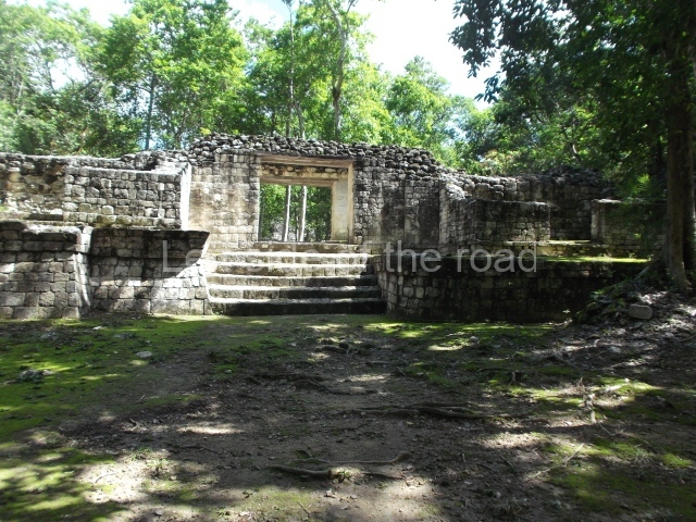
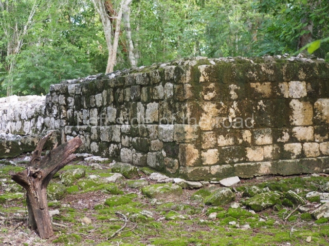
In the middle of this area stands a pyramid platform approximately 10 m high. The various buildings arranged around it form four plazas. The pyramid was built during the Early Classic (AD 250-600) and was subsequently covered by another one; although this later construction has not survived, its fillings facilitated the preservation of the present day monument. The upper part is occupied by a temple whose facade provided the basis for a giant zoomorphic mask – one of the earliest examples of this type of facade in the region. This important architectural feature, symbolising the powerful deity Itzamnaaj, gradually evolved to cover entire building facades. The finest and best-preserved examples of whole zoomorphic facades can be found at Chicanna in southern Campeche and Tabasqueno in the Chenes region. The northern section of the South Group contains several examples of elite dwellings: masonry constructions clad with carefully cut veneer stones and even forming stacks of masks around the main entrances. Various of the rooms have broad benches. The constructions are situated at the cardinal points and form rectangular plazas, in keeping with the typical Mesoamerican pattern.

Central group.

This comprises 30 or so monumental buildings distributed around three large plazas. Explorations have been conducted on several buildings that indicate the entrance to the architectural group and beyond them three pyramid platforms whose sides are now abutted as a result of their gradual expansion. The early constructions are clad with carefully cut veneer stones in the Rio Bec style; it is still possible to see rounded corners, masonry columns at the entrances to rooms, some with benches, but the vaulted roofs and elaborate stairways flanked by balustrades have been lost. We then proceed south to a plaza whose west side displays a broad stairway leading to a large building that has not yet been explored. Three platforms stand at the north end of the plaza. The excavations conducted confirmed architecture principally of the Peten style, developed during the early centuries of the Common Era.

Pyramid platform in the north-west section.

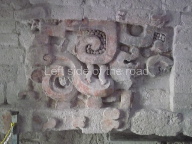
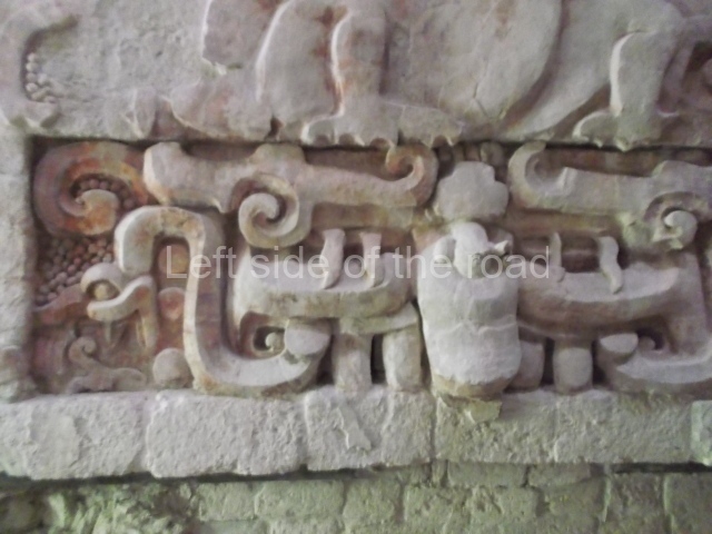
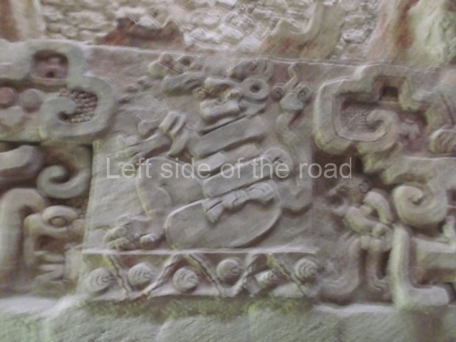
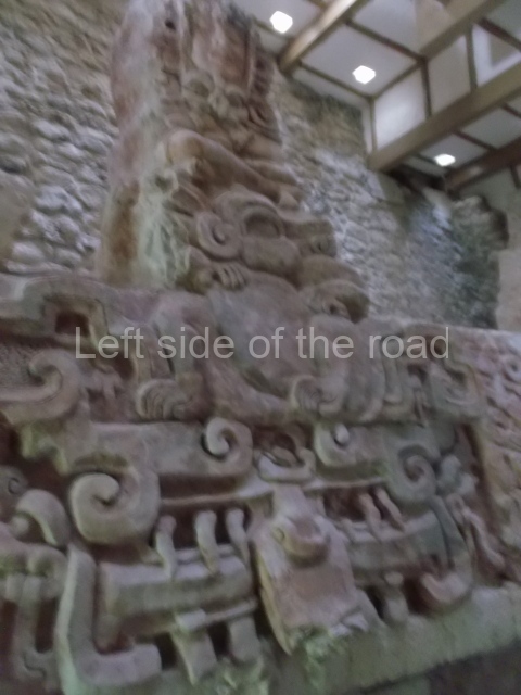
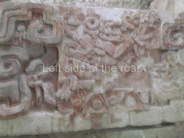
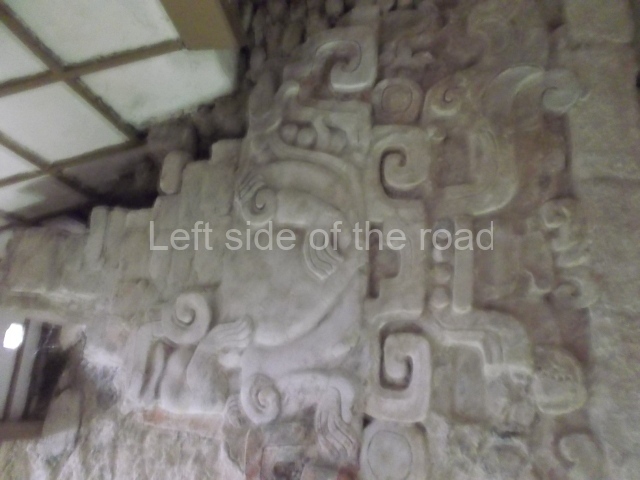
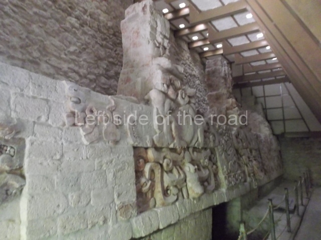
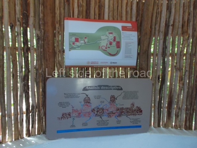
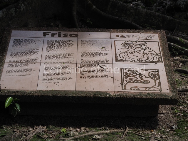
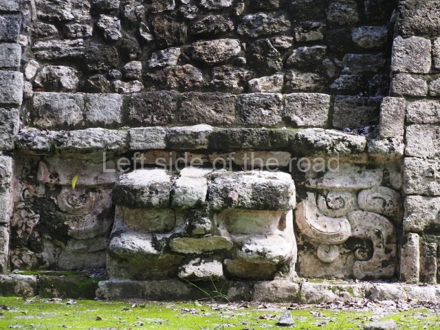
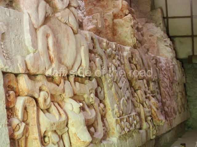
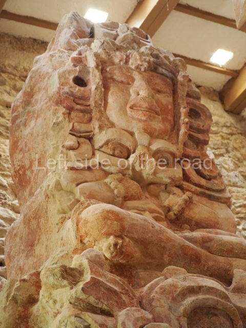
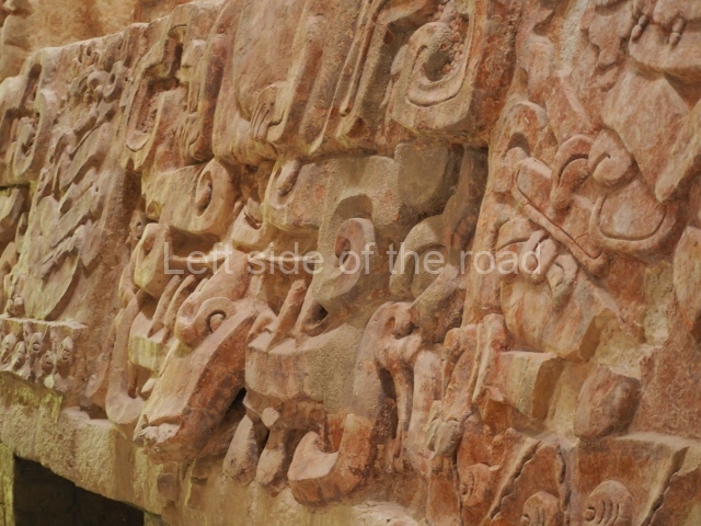
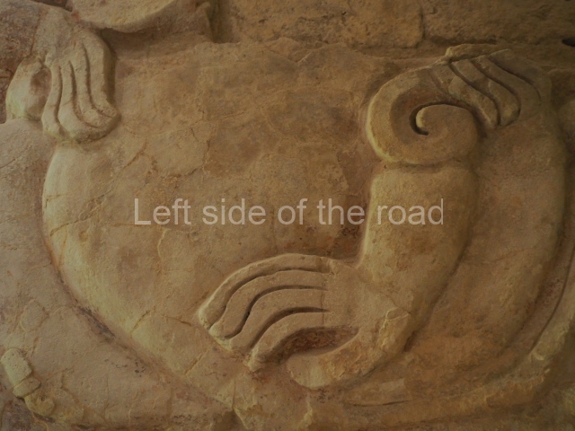
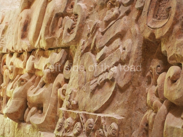
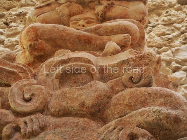
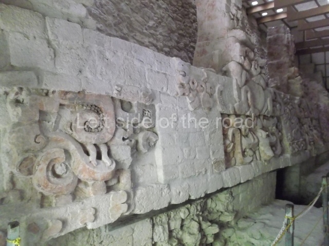
It was this structure that led to the original exploration of the site. Various episodes of plundering had dismantled the final construction stage, exposing a large proportion of a sub-structure whose frieze had once been decorated with interesting stucco-modelled motifs. The various elements have preserved most of their original colour, which is mainly red, but there are also traces of cherry red, black and blue. The motifs found in this building correspond to the frieze of its main facade. These are situated above three entrances and symbolically display opposing and complementary aspects of the ancient Maya world view. Originally, the lower section of the frieze depicted four imposing images of Cauac or the Earth Monster, one for each cardinal point. These alternate with images of jaguars, animals associated with the underworld. The upper part of each Earth Monster has a large crack, from which sprout toads on the left and crocodiles on the right. The reptiles and amphibians evoke the damp, fertile earth, recalling the original sea from which the legendary Maya world emerged; they represent the transition between the abode of the gods and that of human beings. From the amphibians’ jaws sprout sacred lords, the governors of the Classic period, seated on jaguar skin thrones. These are flanked by the stems of water lilies or other flowers, elements that indicate abundance because high-ranking officials were responsible for providing their subjects with well being and everything they needed. The dignitaries’ headdresses are poorly preserved but must have displayed zoomorphic figures associated with deities. Overall, the frieze shows the emergence of a legendary world of governors closely tied to the deities and their powerful religious symbols. Balamku had stone hieroglyphic inscriptions but to date only a few greatly decayed stelae have been found.

Importance and relations

The extraordinary stucco frieze at Balamku is one of the finest examples of the Early Classic iconography of the Maya world. It tells us of the governors’ complex world view and their association with a supernatural world from which they believed their political authority emanated. To a certain extent, the stucco motifs are comparable with those of the frieze at Placeres, a site in the southernmost part of Campeche; this frieze is thought to have been dismantled by plunderers but has fortunately been recovered and is now on display in the Maya Room of the National Museum of Anthropology in Mexico City. Meanwhile, the monuments at Balamku demonstrate the site’s former influence over the surrounding area, where it coexisted alongside other important sites such as Becan, 40 km to the east; Oxpemul and Calakmul, in the south; Silvituc, around and on the island in the Centenario Lagoon, 40 km to the west; and Nadzcaan, a vast city situated some 25 km to the north.

From: ‘The Maya: an architectural and landscape guide’, produced jointly by the Junta de Andulacia and the Universidad Autonoma de Mexico, 2010, pp324-326.

Balam Ku

Balam Ku

1. Plaza A; 2. Plaza B; 3. Plaza C; 4. Plaza D.

How to get there:

There are 4 or 5 buses, each way, which do the run from Xpuil and Escarcega, passing through the settlement of Conhaus. The approach road to the site is to the west of Conhaus. Then there’s a just under three kilometre walk to the site.

GPS:

18d 33′ 42″ N

89d 57′ 06″

Entrance:

M$70
More on the Maya