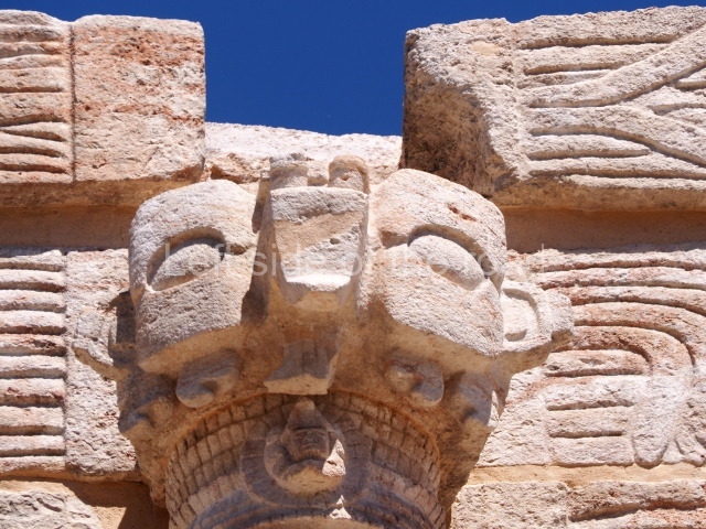
Santa Rosa Xtampak – Campeche – Mexico

Santa Rosa Xtampak

Santa Rosa Xtampak

More on the Maya

Santa Rosa Xtampak – Campeche

Location

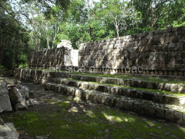
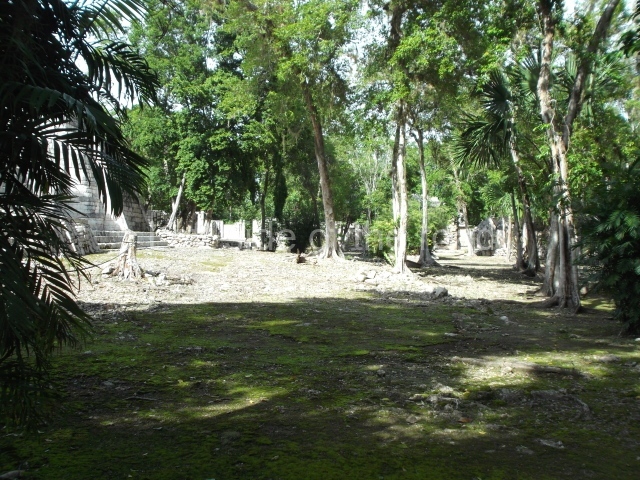
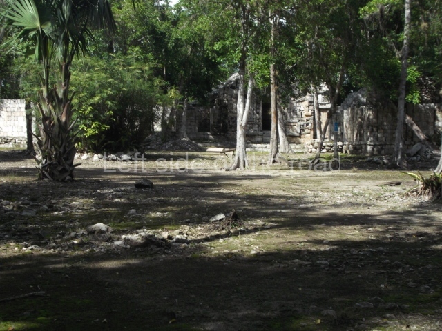
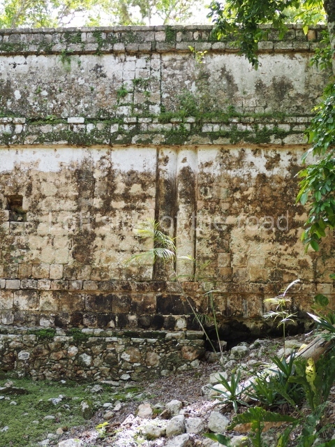
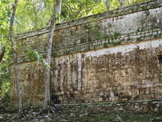
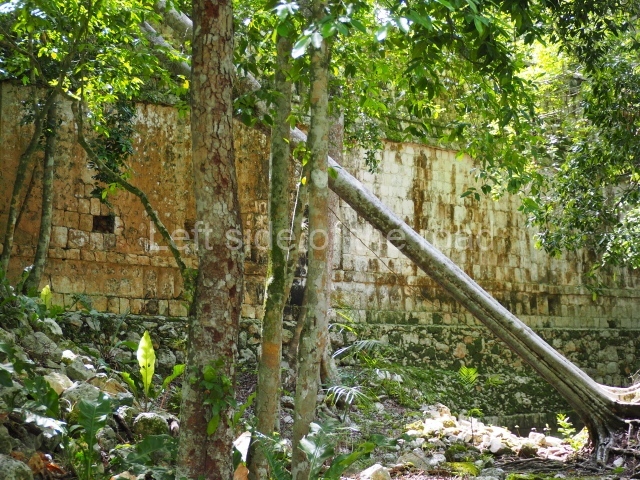
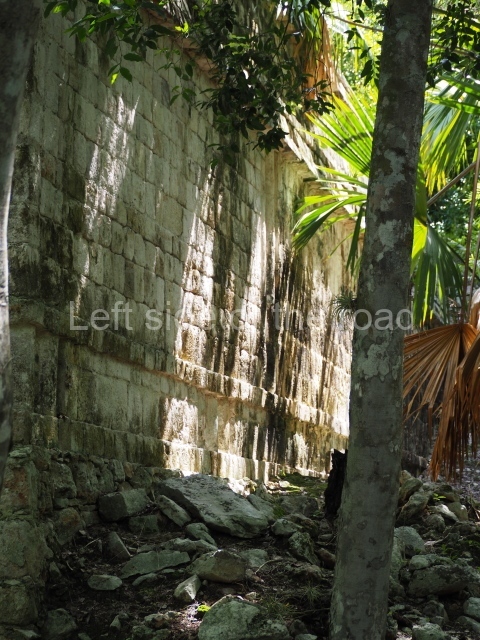
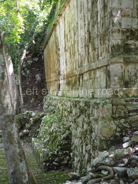
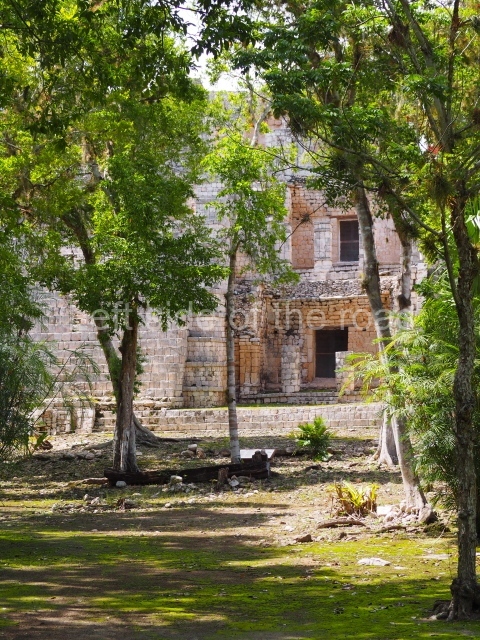
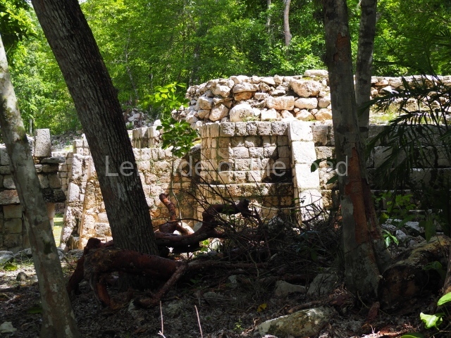
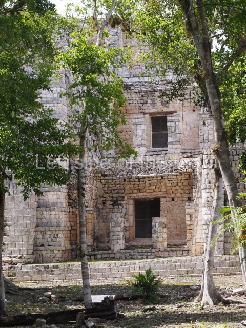
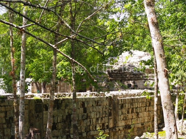
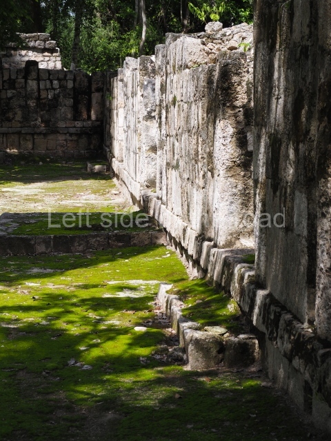
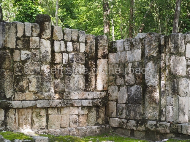
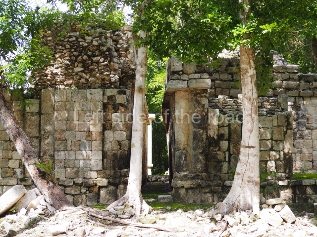
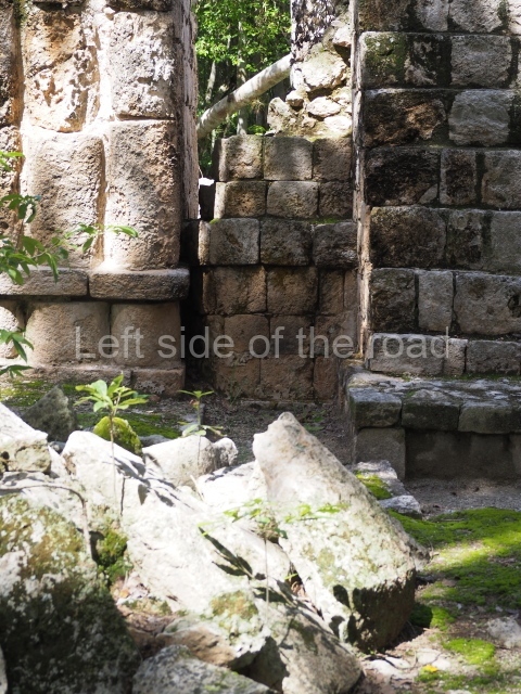
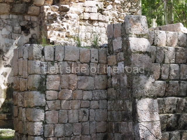
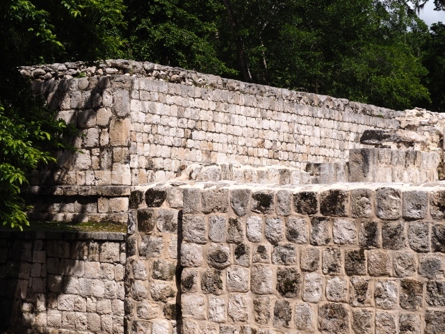
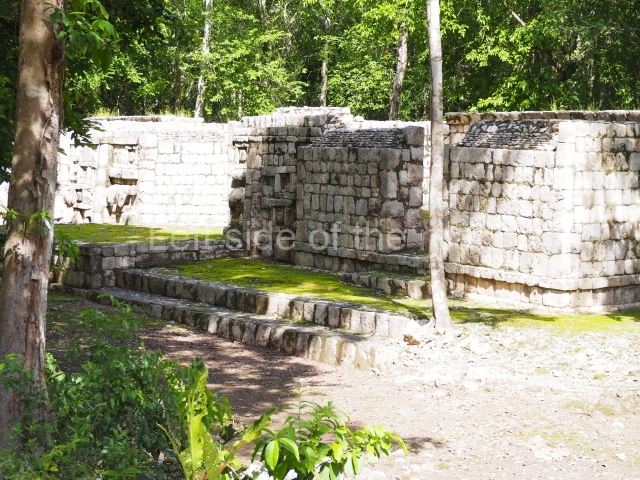
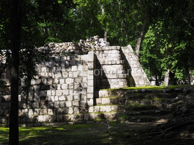
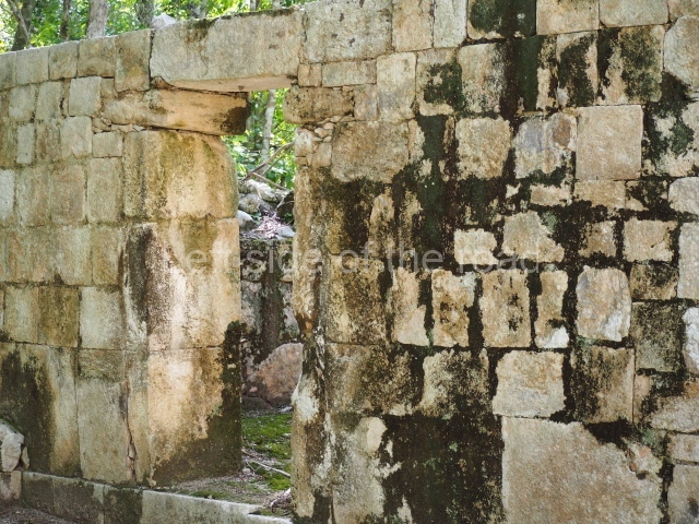
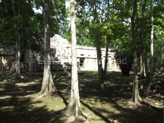
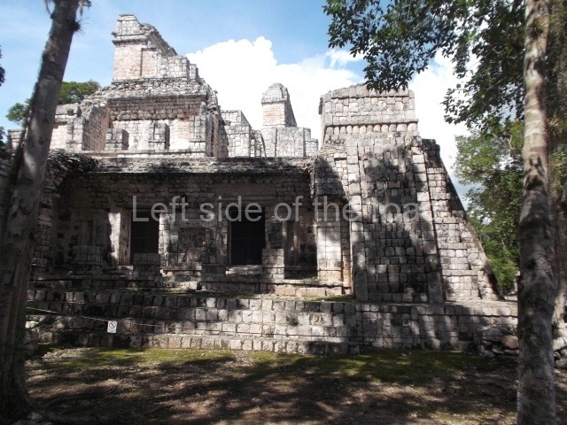
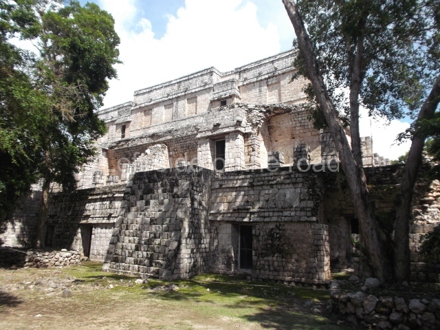
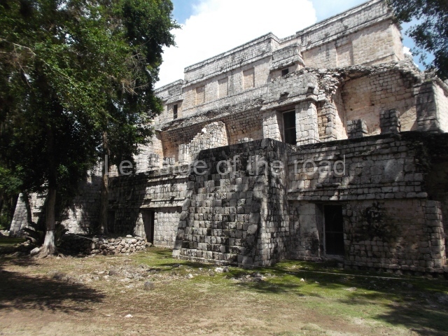
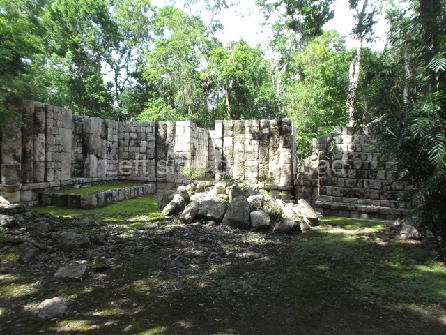
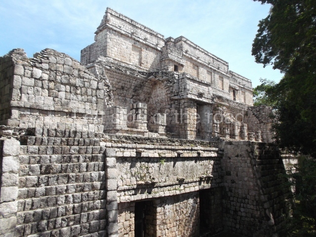
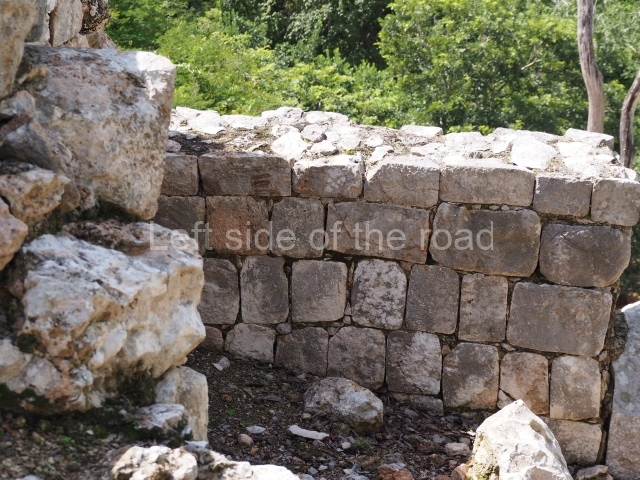
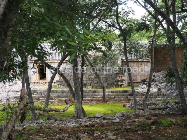
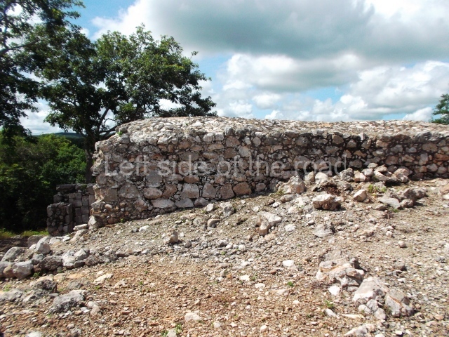
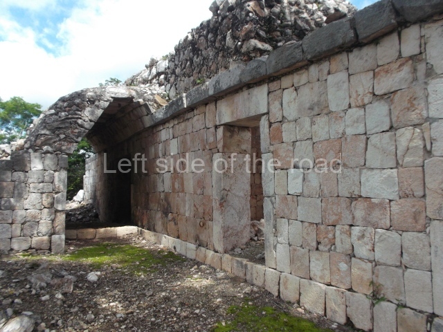
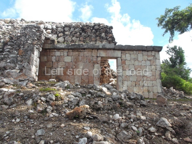
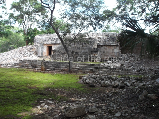
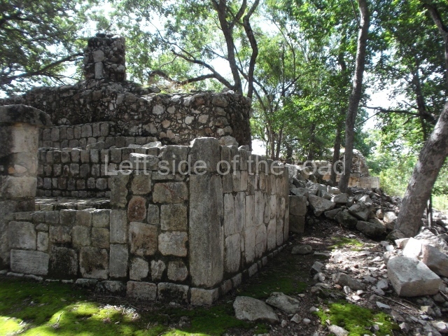
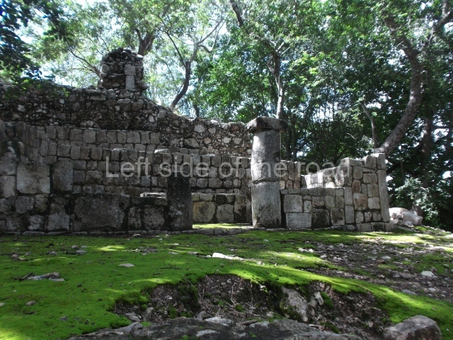
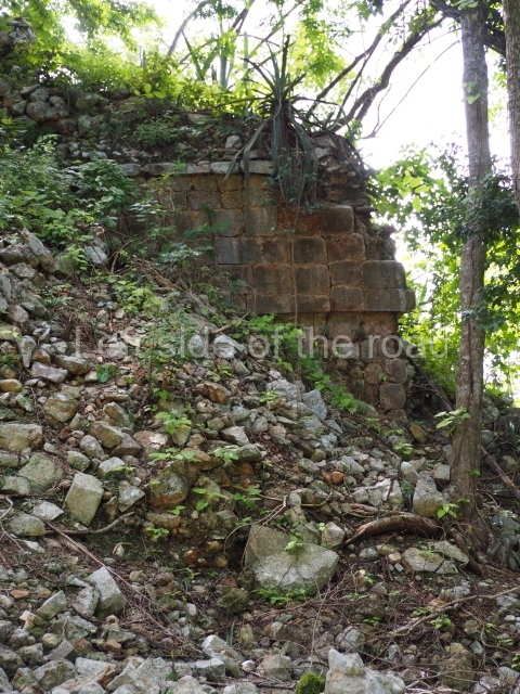
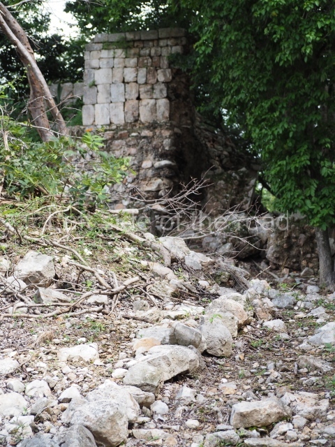
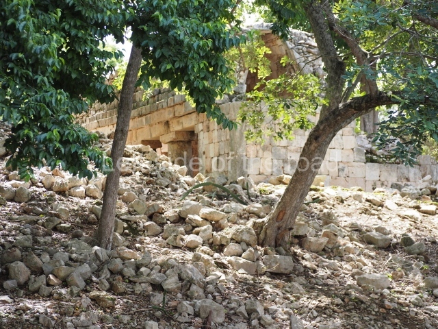
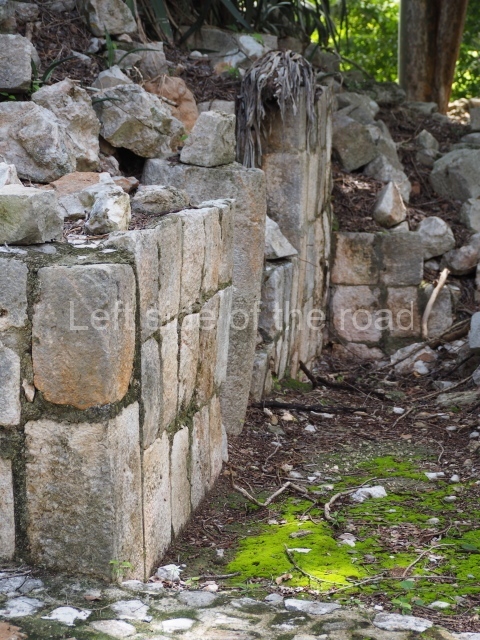
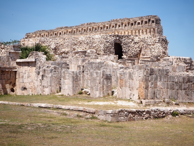
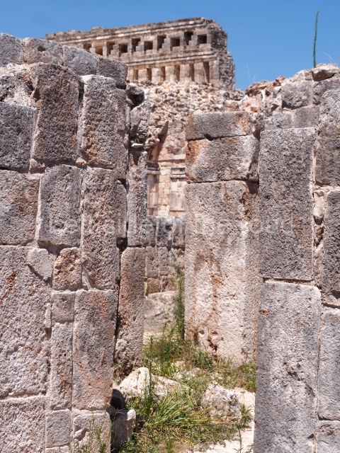
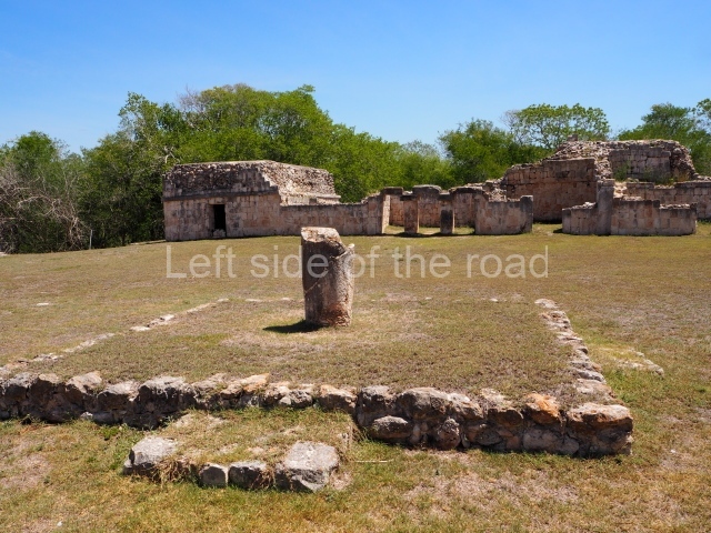
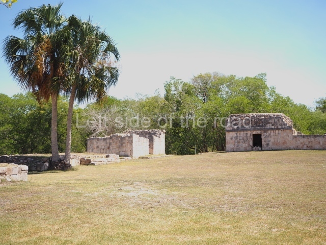
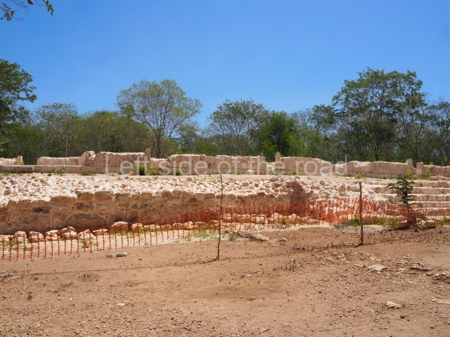
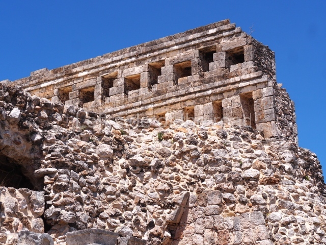
These ruins are situated at the top of a hill that was modified and levelled to build over a hundred masonry constructions, many with monumental proportions, that tend to form a regular pattern of plazas and quadrangular courtyards. The name of the archaeological area combines two words: Santa Rosa was a 19th-century hacienda, now lost, on whose land stood pre-Hispanic ruins or xlabpak (‘old walls’ in Yucatec Maya). The name used throughout the 19th century was Xlabpak de Santa Rosa, but in the following century it was changed to Santa Rosa Xtampak (‘in front of the wall’, ‘wall in sight’), a reference to the surviving walls of one of the main buildings. Santa Rosa Xtampak is situated some 40 km north-east of Hopelchen, which in turn lies 90 km east of Campeche City. Both parts of the route have an asphalt road.

History of the explorations

The first people to record the place were Frederick Catherwood and John Stephens, who visited it in the mid-19th century, described it and published an engraving of the Palace. At the end of that same century, Teobert Maler conducted a more detailed survey. In the 1930s and 1940s, a team from the Carnegie Institution, led by Harry Pollock, studied the ruins at Santa Rosa. In the late 1960s, Richard Stamps and Evan DeBloois (from the Brigham Young University in Utah) recorded and analysed the architecture, ceramics and chultunes at the site. In the 1980s more experts arrived: George Andrews (University of Oregon) and Paul Gendrop (Autonomous University of Mexico) to record the architecture, and William Folan and Abel Morales (Autonomous University of Campeche) to map the site. In the 1990s Nicholas Hellmuth photographed the buildings still standing; Hasso Hohmann and Erwin Heine produced a photogrammetric record of the Palace and conducted the first architectural restoration works under the supervision of Antonio Benavides C. (INAH). At the beginning of the 21st century, Renee Zapata (INAH) coordinated a programme of excavations and consolidation work at the principal constructions.

Timeline, site description and monuments

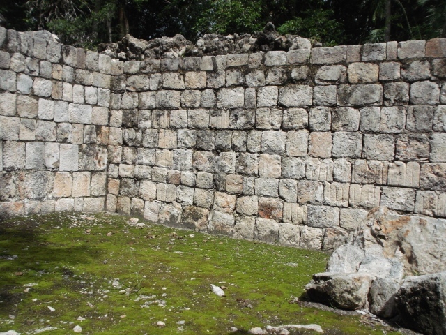
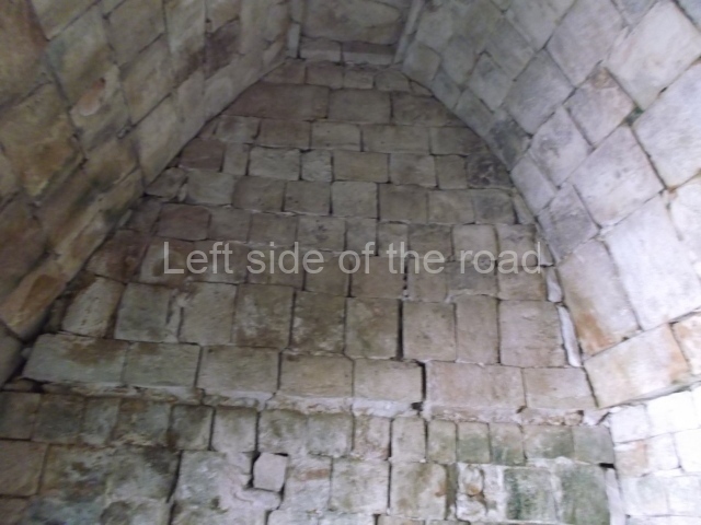
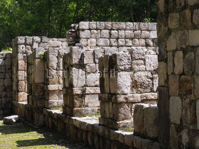
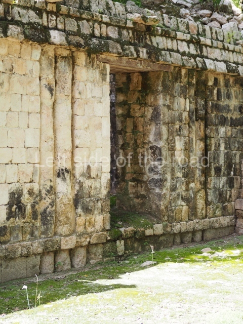
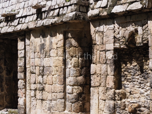
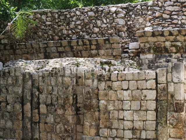
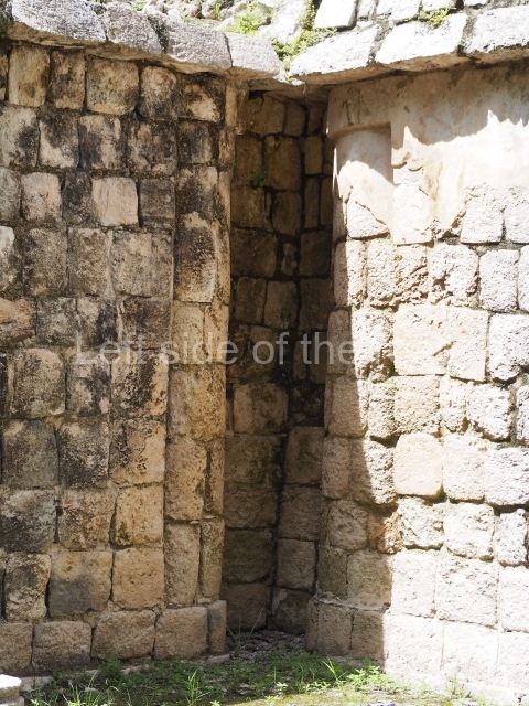
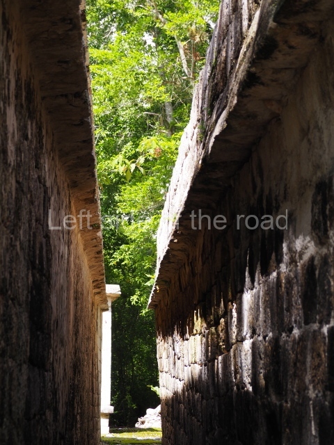
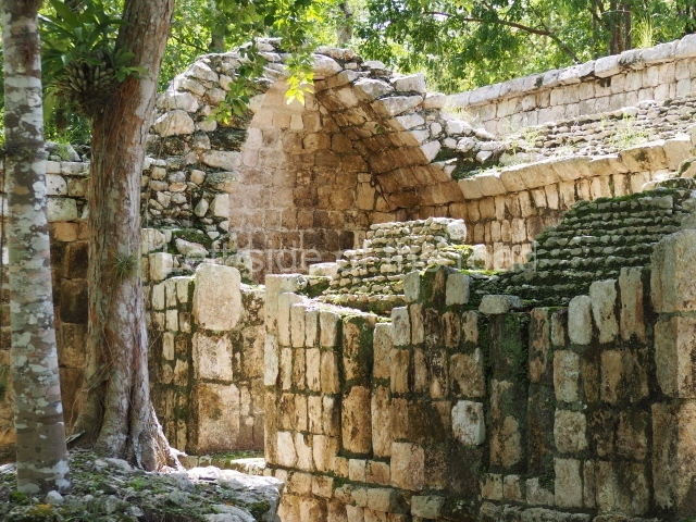
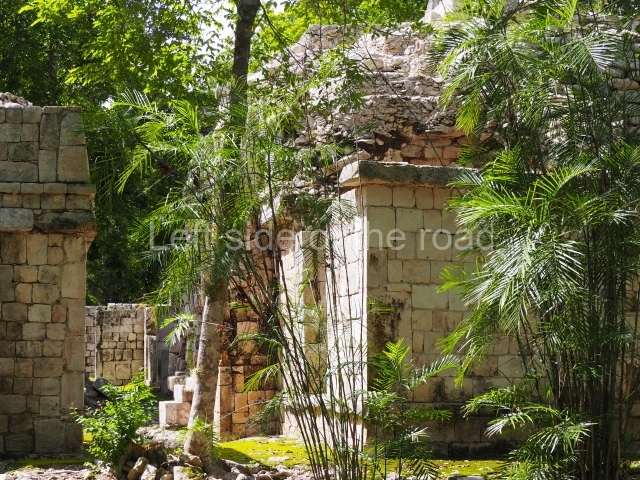
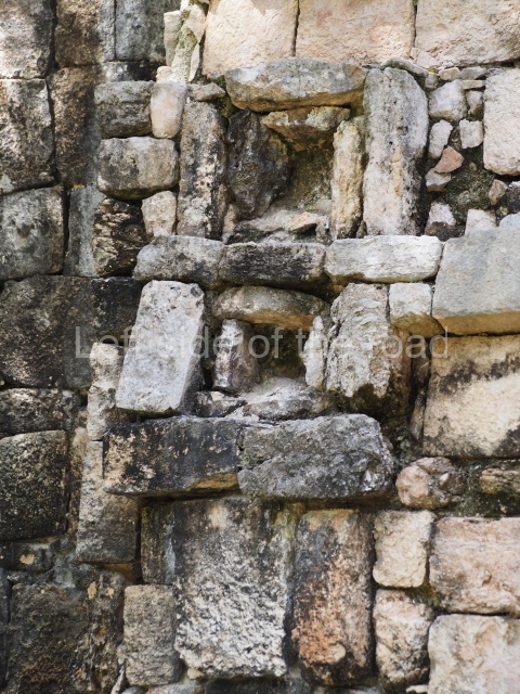
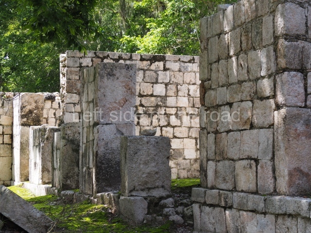
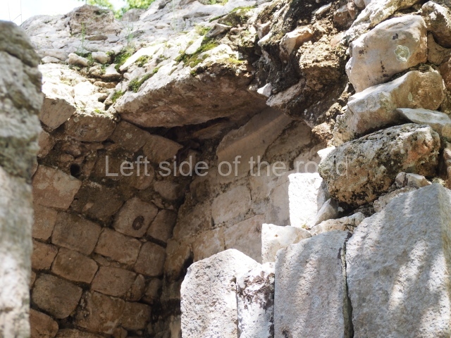
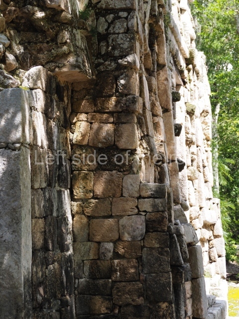
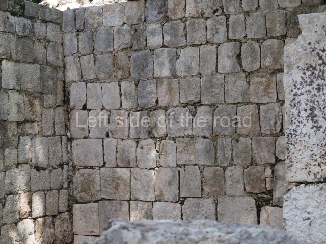
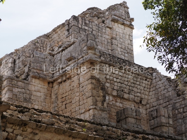
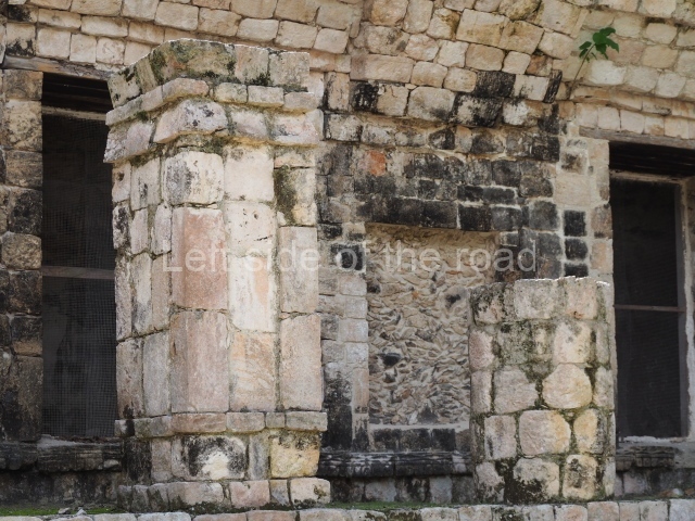
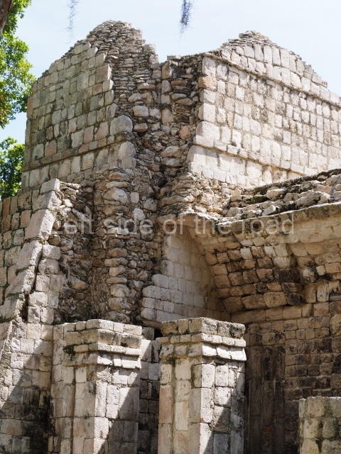
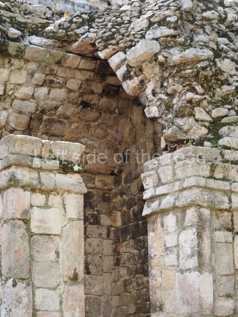
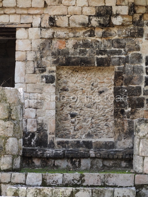
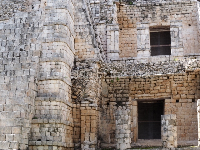
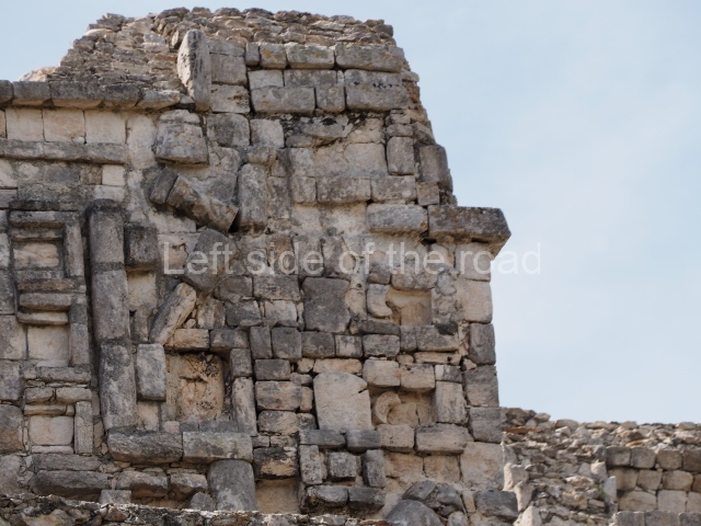
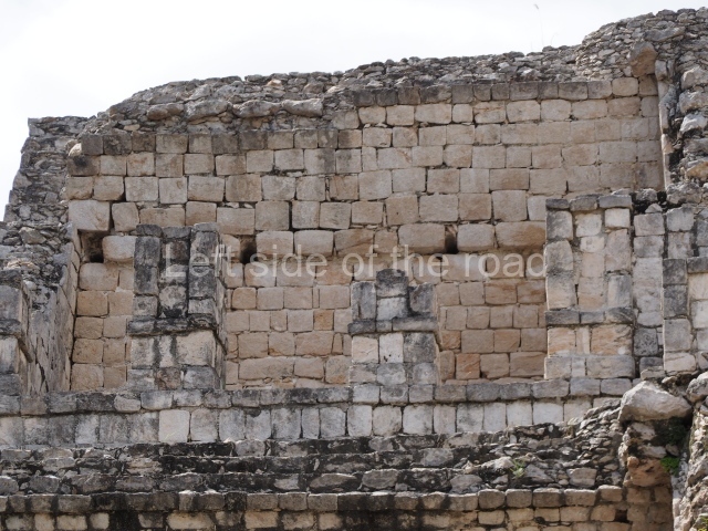
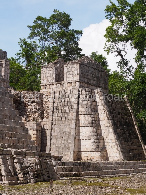
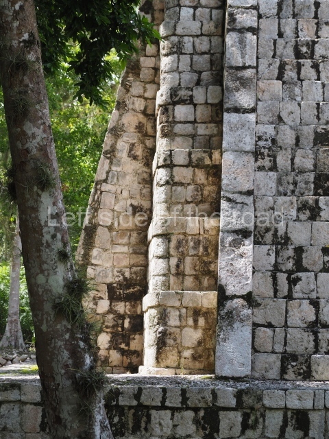
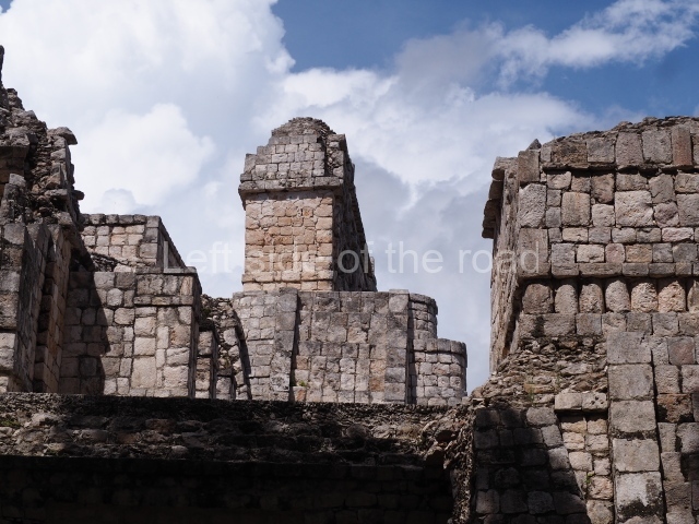
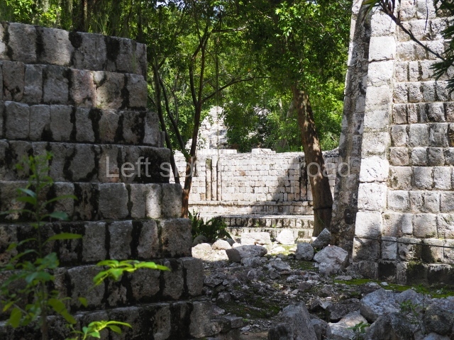
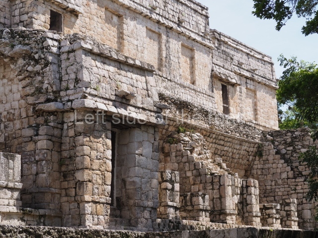
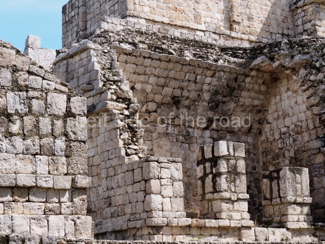
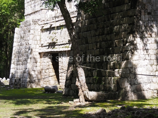
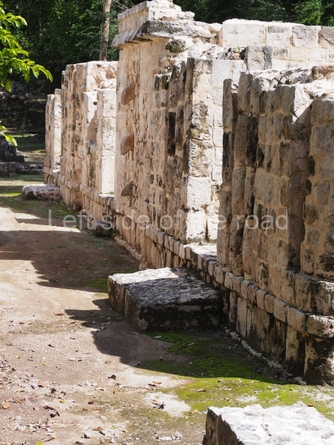
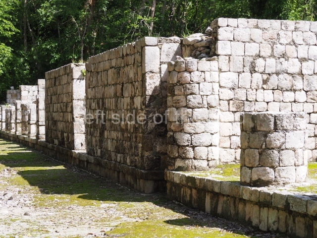
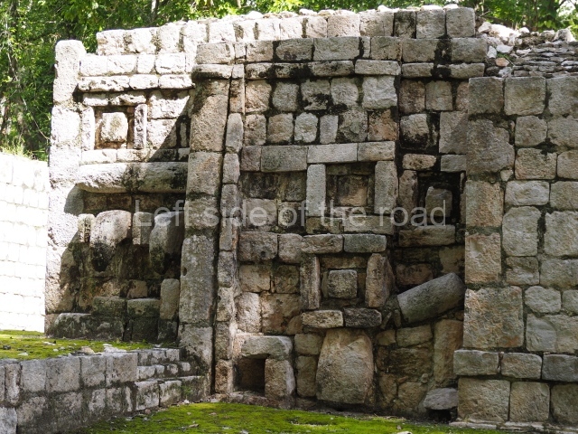
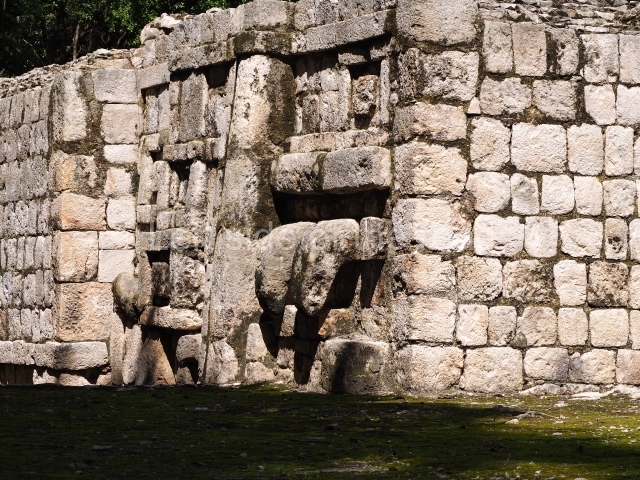
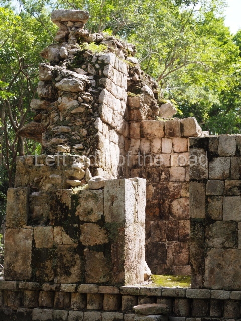
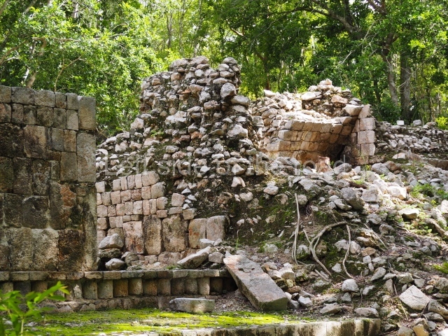
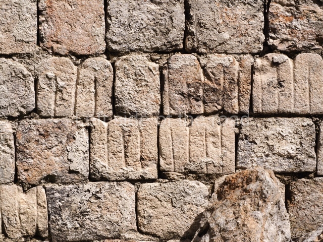
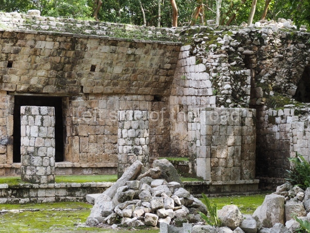
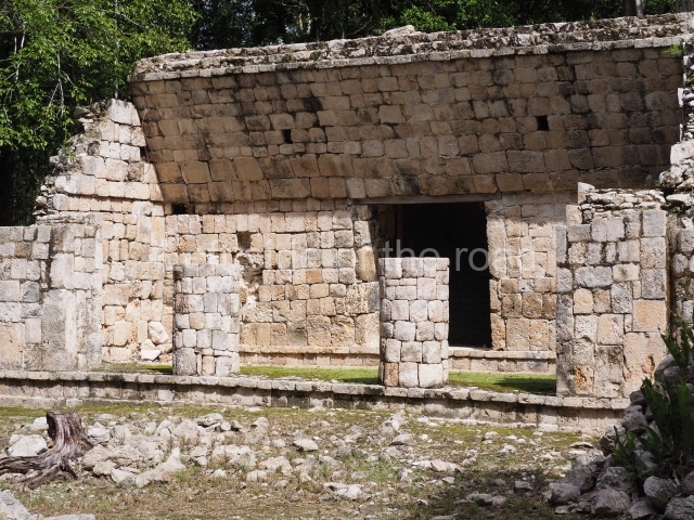
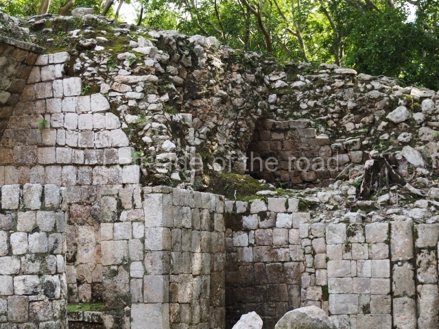
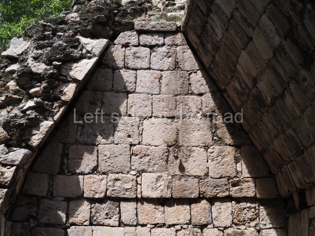
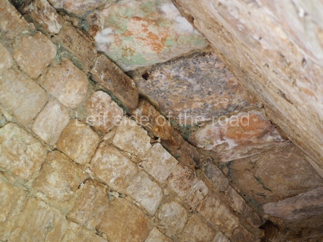
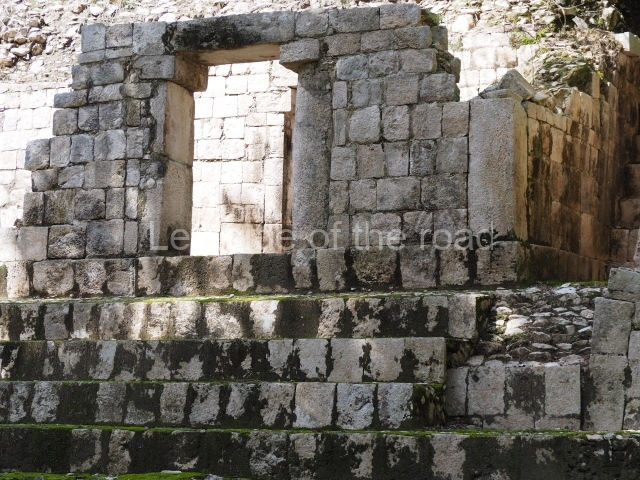
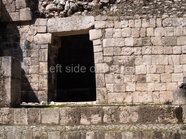
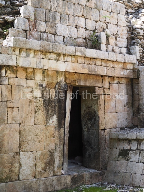
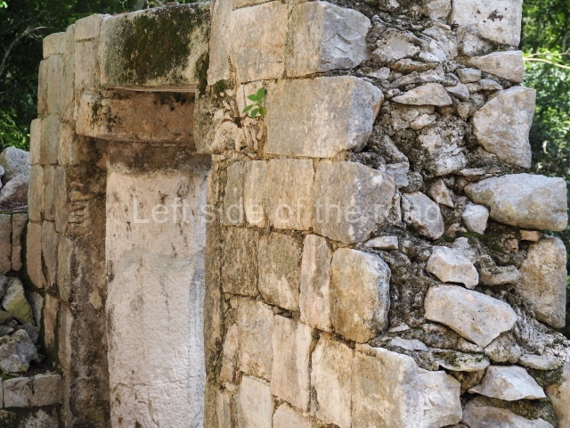
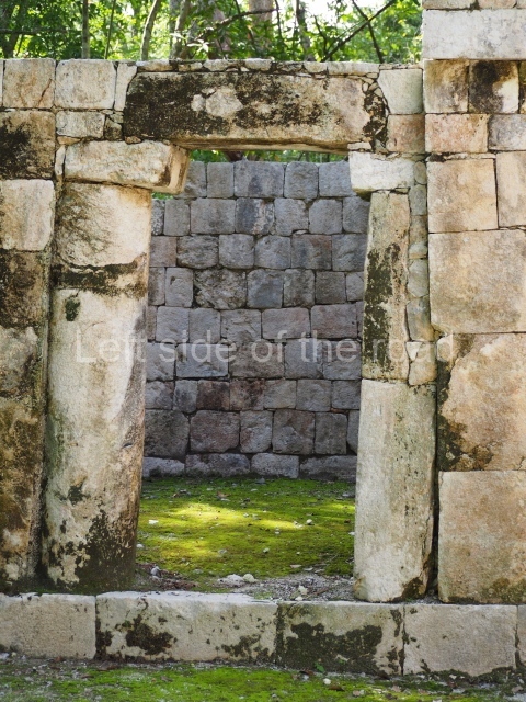
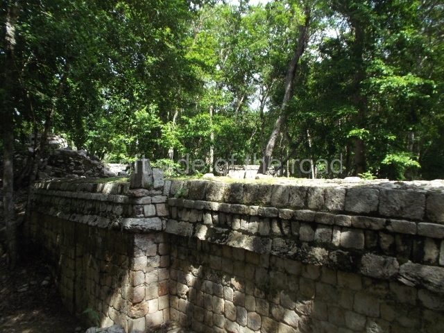
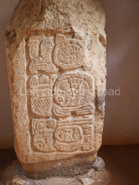
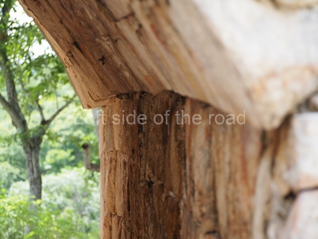
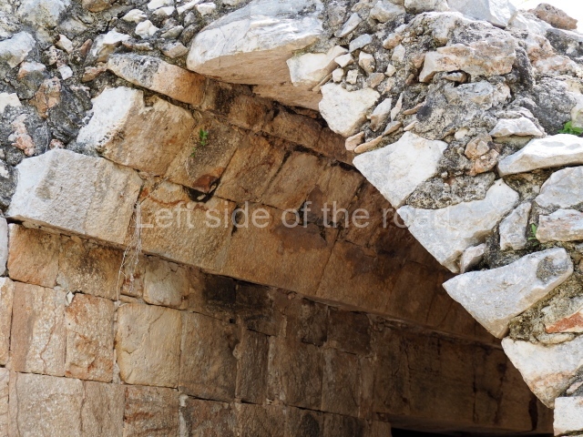
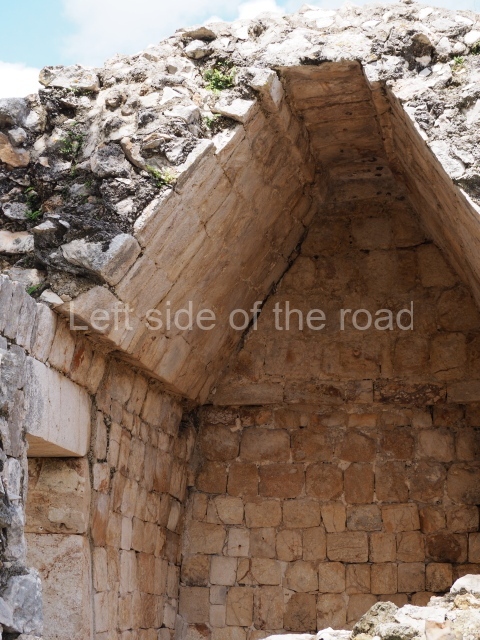
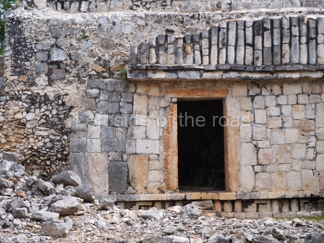
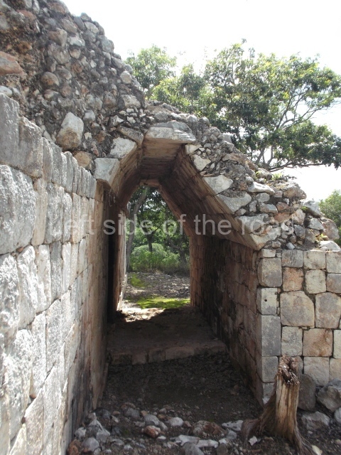
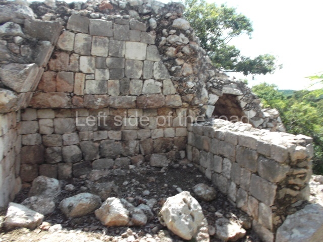
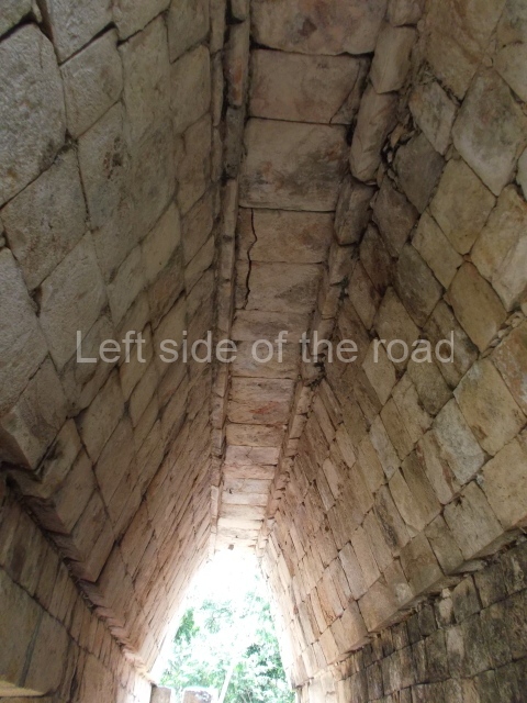
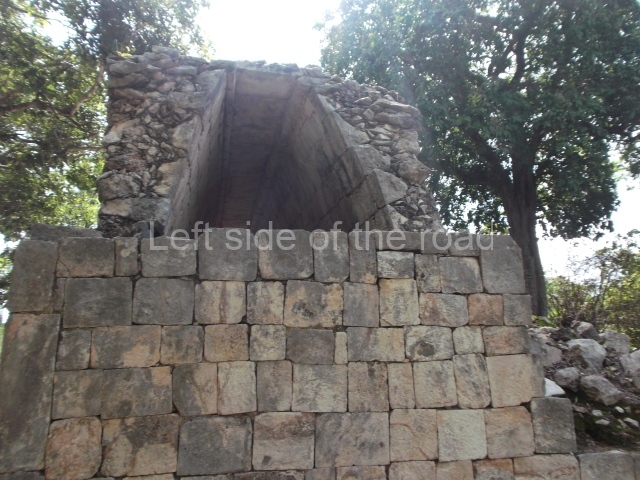
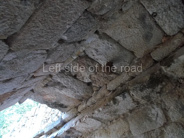
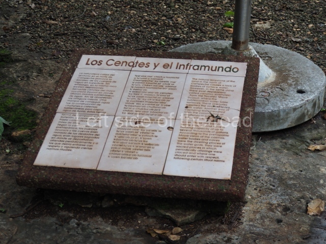
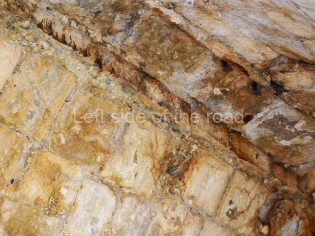
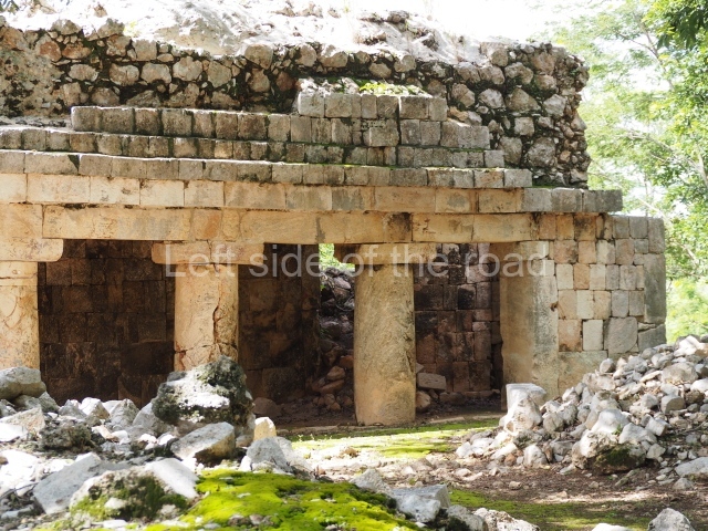
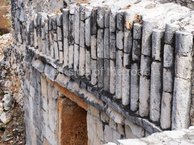
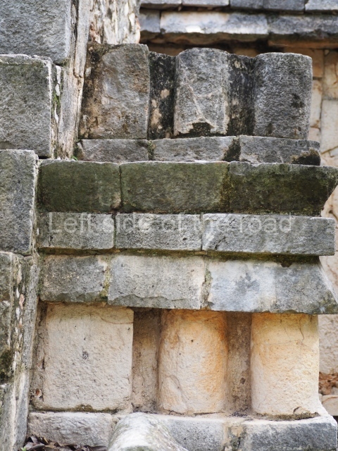
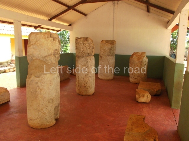
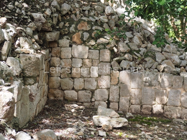
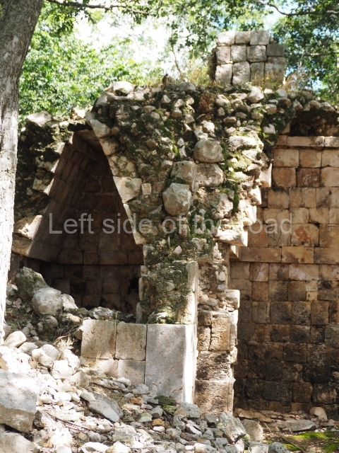
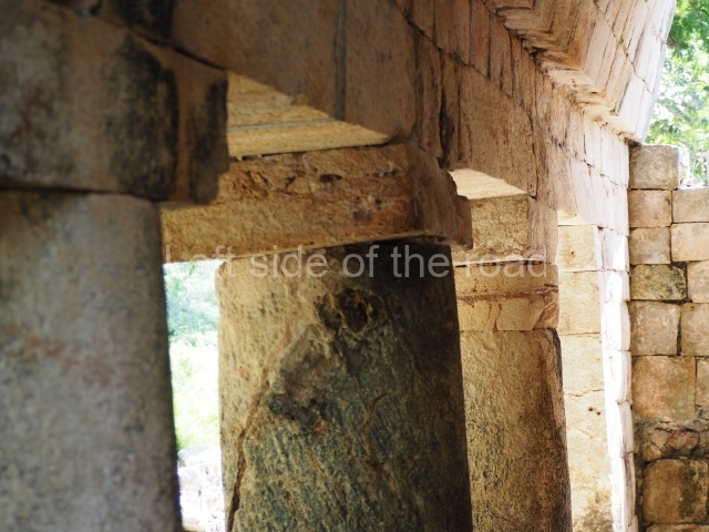
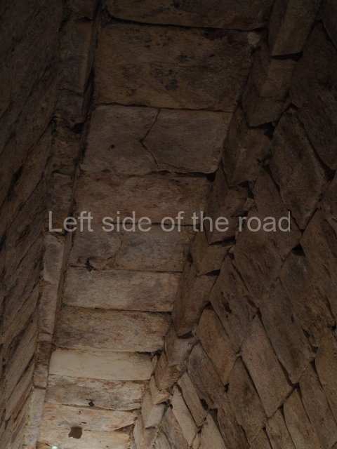
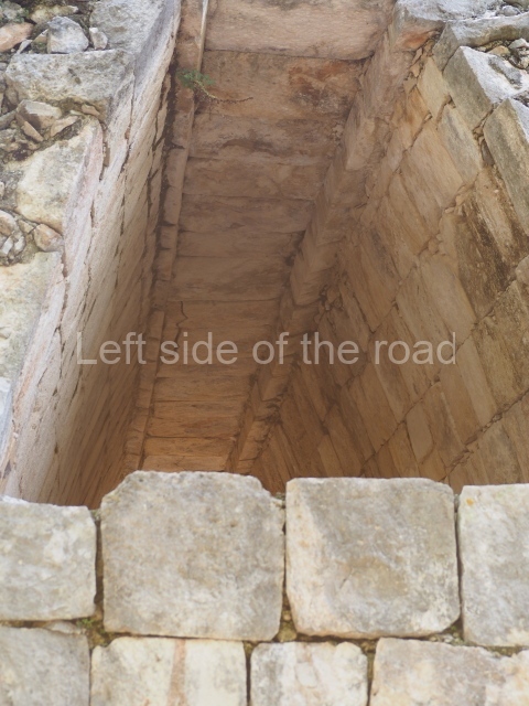
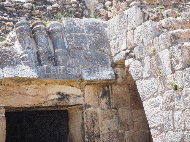
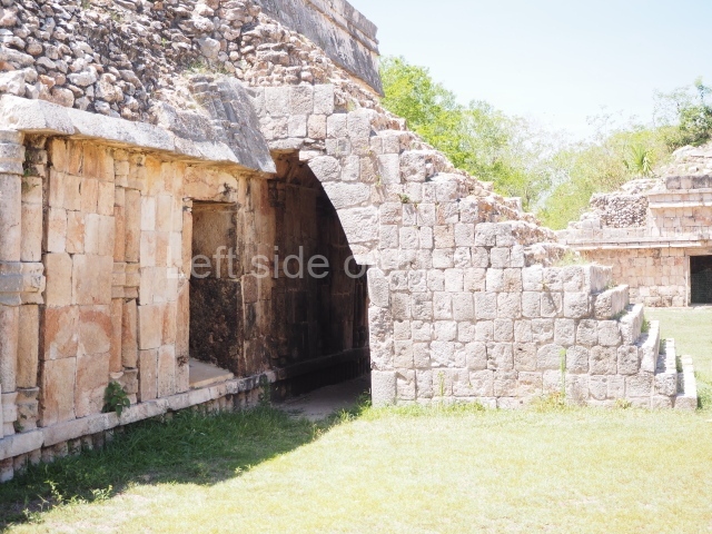
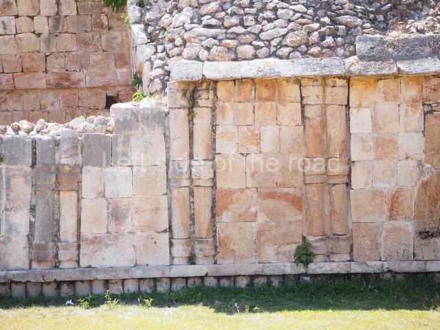
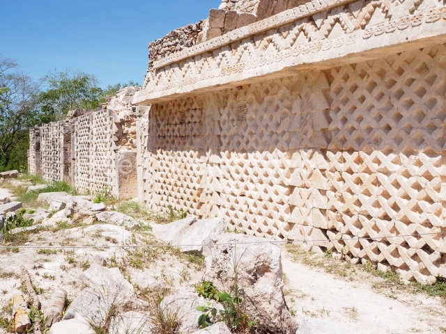
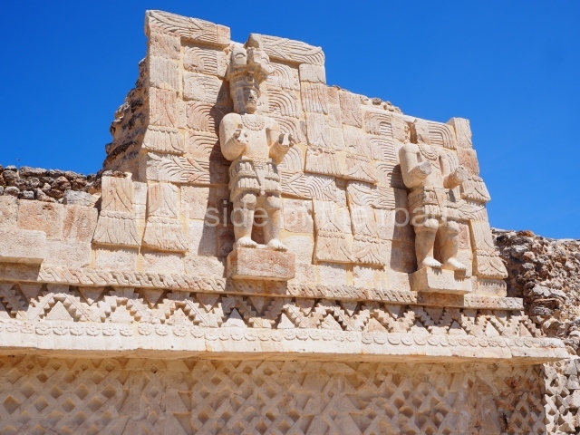
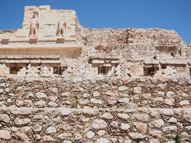
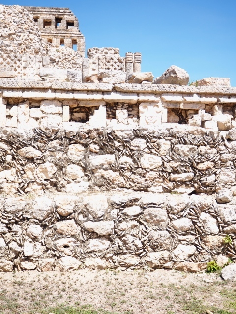
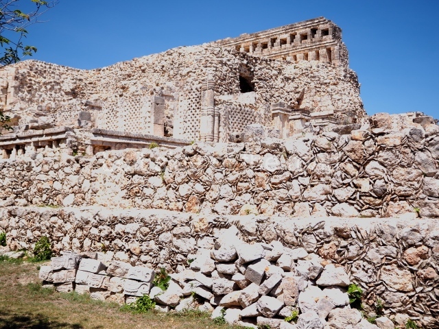
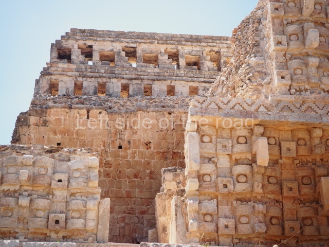
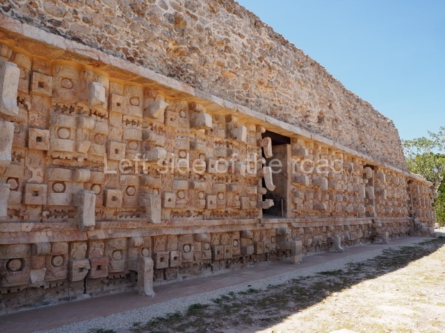
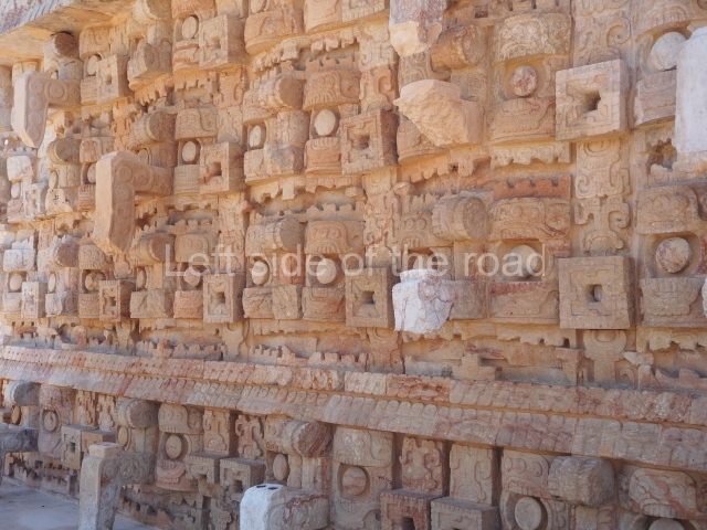
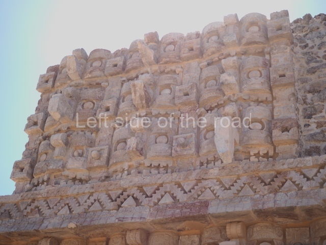
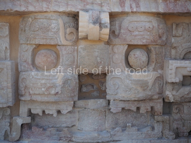
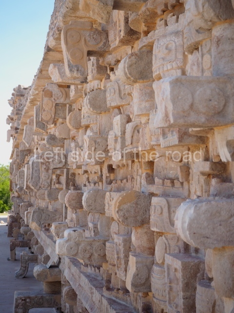
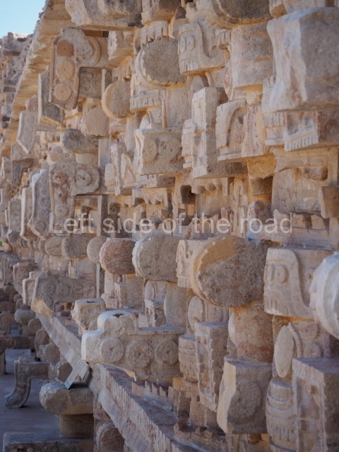
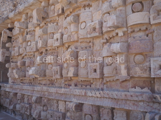
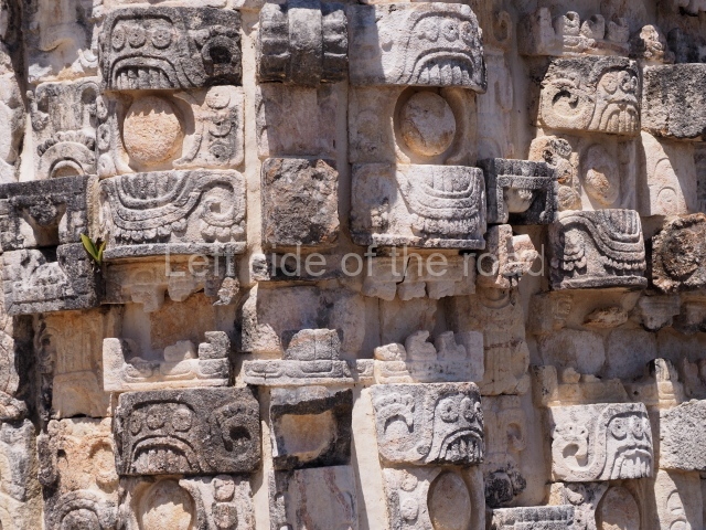
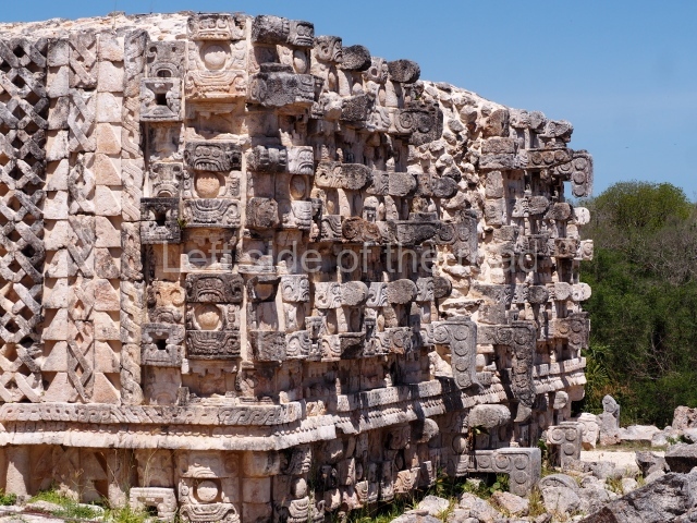
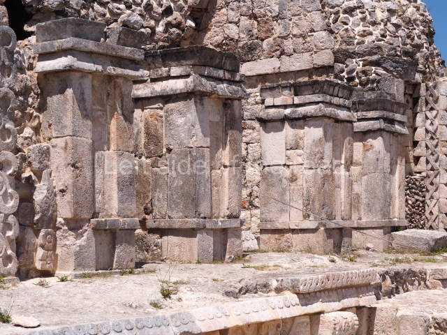
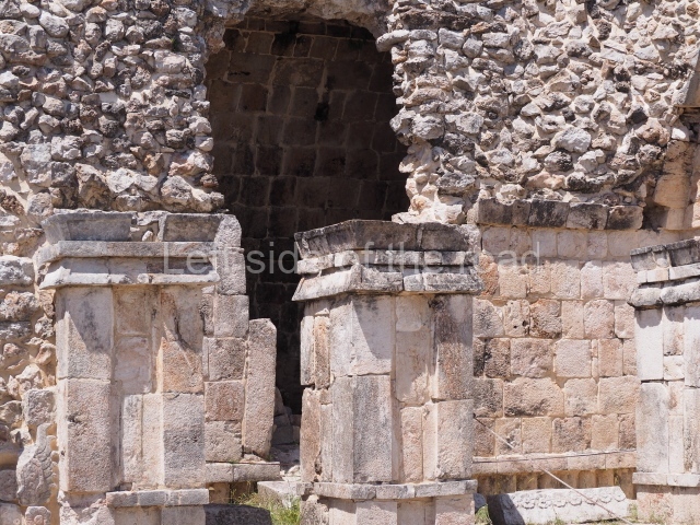
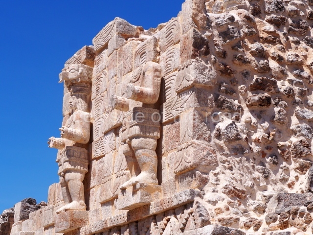
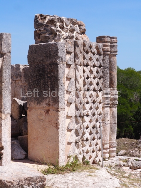
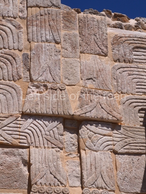
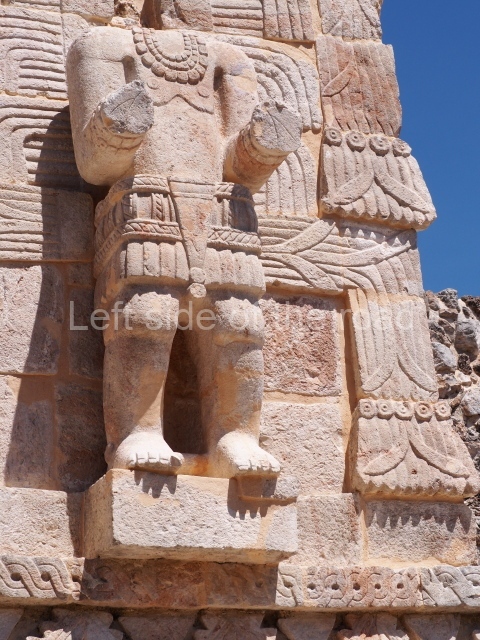
Eight stelae and three painted capstones with valuable information in the form of images and hieroglyphic inscriptions have been found at Santa Rosa Xtampak. The earliest date recorded thus far is AD 646 (Stela 5), although a preliminary analysis of the ceramics suggests that the site existed several centuries before the Common Era. The latest date, AD 948, was found on a capstone at the Palace. The ceramic materials also indicate a smaller human occupation in the Postclassic, and the city had already been totally abandoned by the time the Europeans arrived in the peninsula. The dominant architectural style is Chenes, characterised by constructions in which giant masks decorate part or the whole of the main facades. The motifs were achieved by creating mosaics with specially cut veneer stones, which were then stuccoed and painted in a variety of colours, especially red. Many constructions combine smooth panels with embedded columns on the walls or at the corners. The various entrances to the constructions are usually formed by masonry pilasters or columns. The corbel vaults usually rise directly from the vertical wall supporting them, with neither a slight recess nor soffit. Water was supplied via an intricate system of chultunes. Evan DeBloois recorded 67 such cisterns and based on their estimated maximum storage capacity the city is thought to have had a population of around 10,000.

Palace.

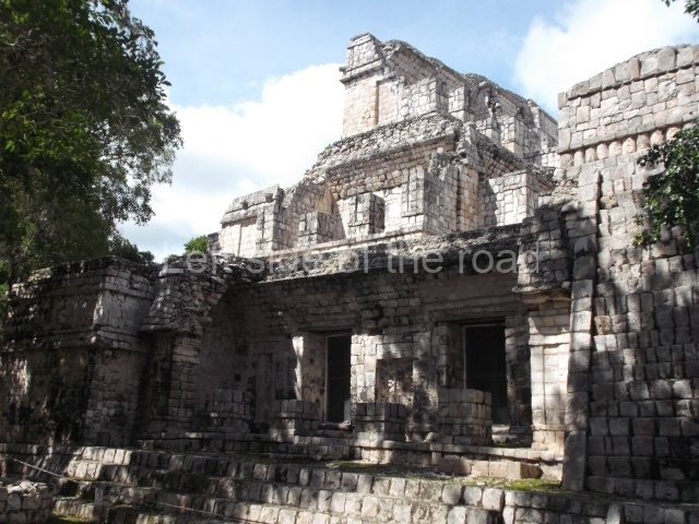
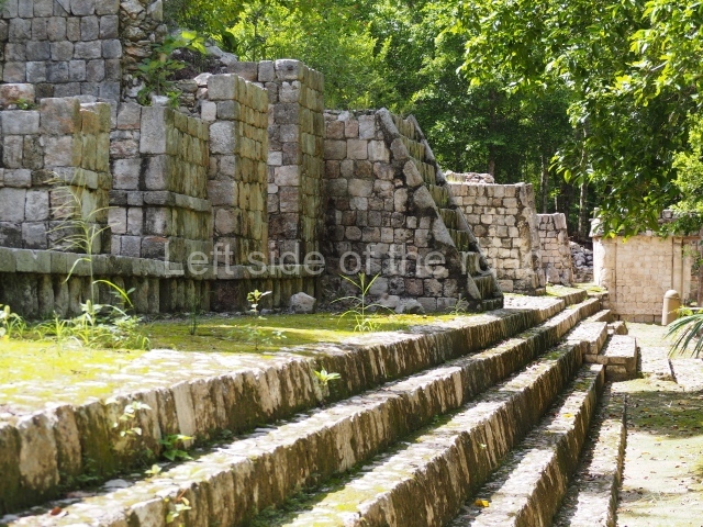
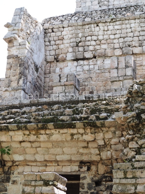
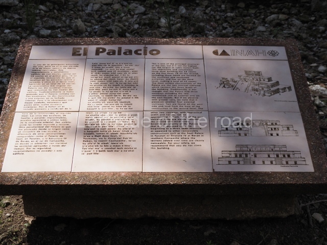
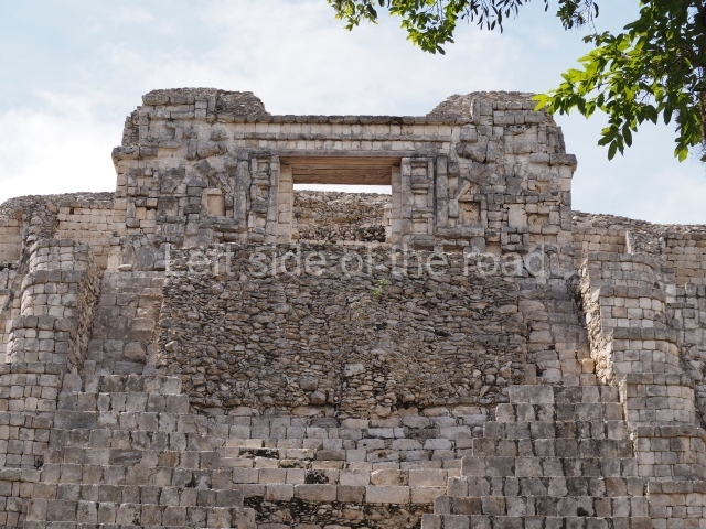
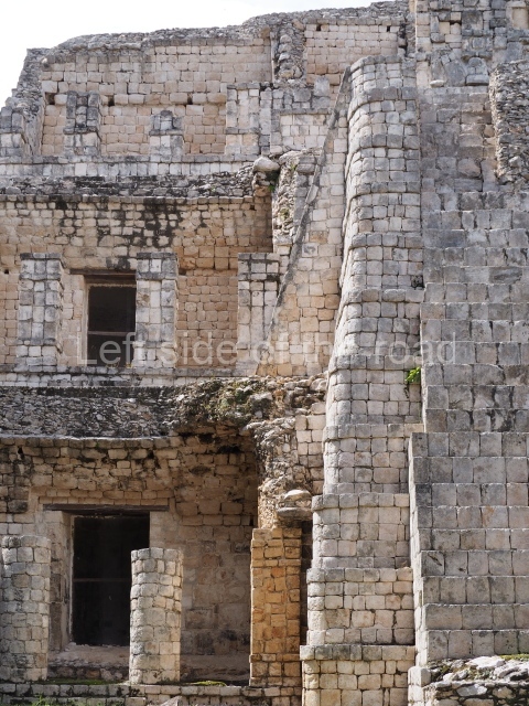
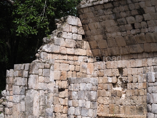
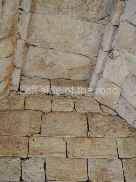
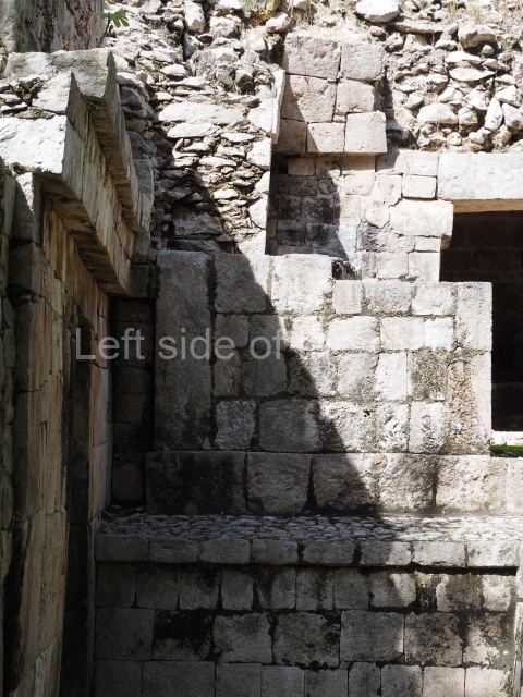
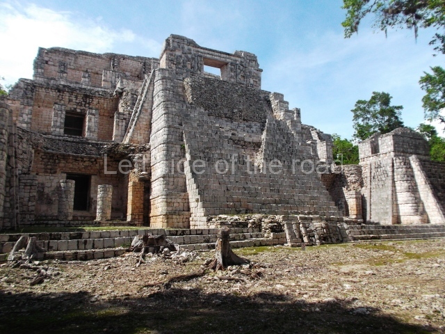
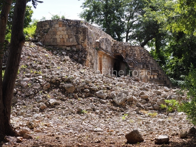
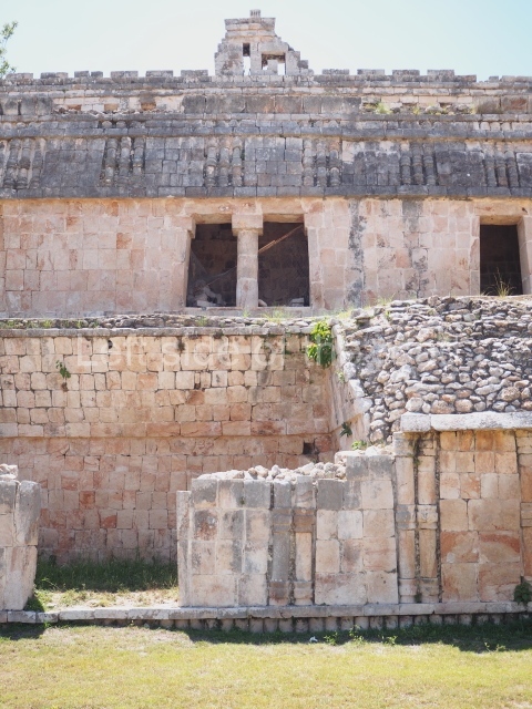
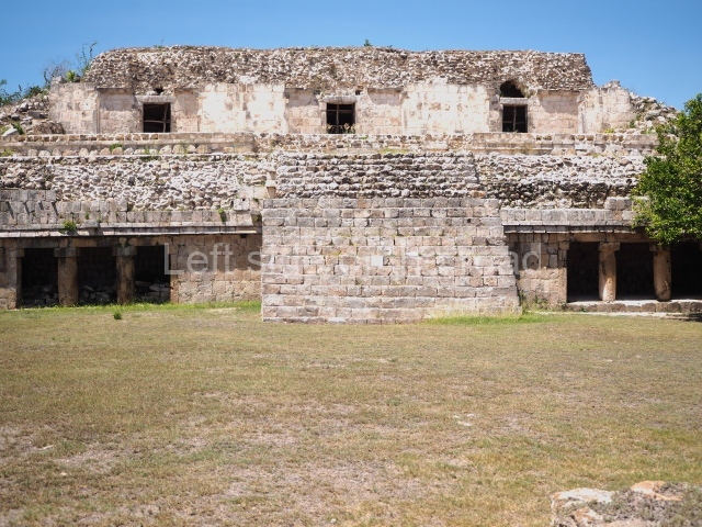
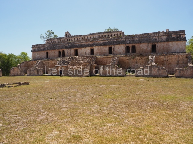
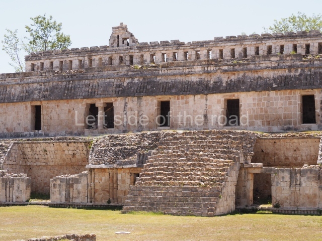
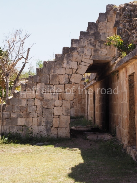
This building comprises 42 rooms on three levels. Approximately 50 m long, 30 m wide and 30 m high, it boasts a wide stairway on the east facade as well as additional entrances on the west side and two interior staircases to facilitate circulation between the rooms. These internal communication features are rare in Maya architecture and their corbel vaults turning on oblique plains have been studied by several experts. The generous proportions of the rooms, as well as their interior features and layout, suggest that most of them were residential quarters for rulers and their courtiers. The smaller rooms situated on levels 1 and 3 may have provided storage for the accessories used by the elite: large headdresses, ceremonial costumes, incense burners, sceptres, parasols, etc.

Building with the Serpent Mouth facade.

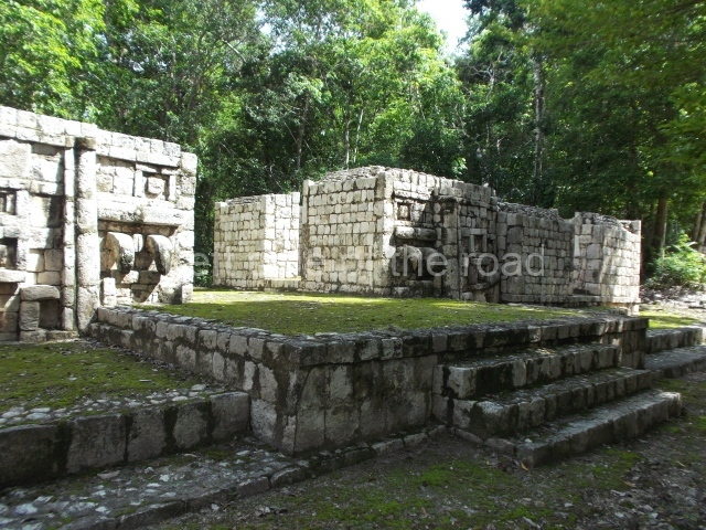
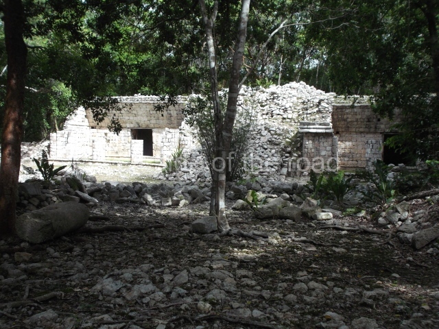
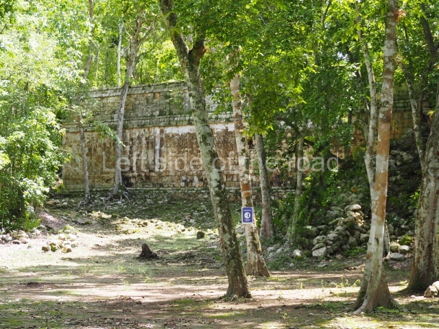
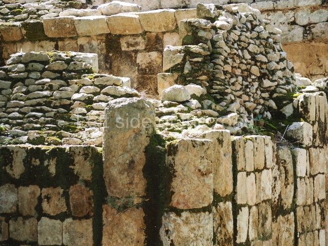
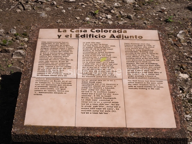
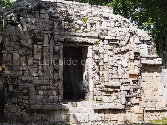
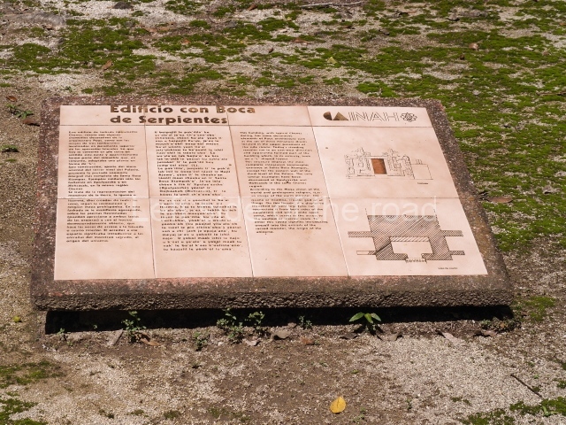
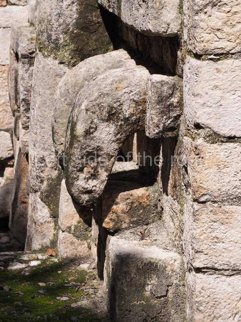
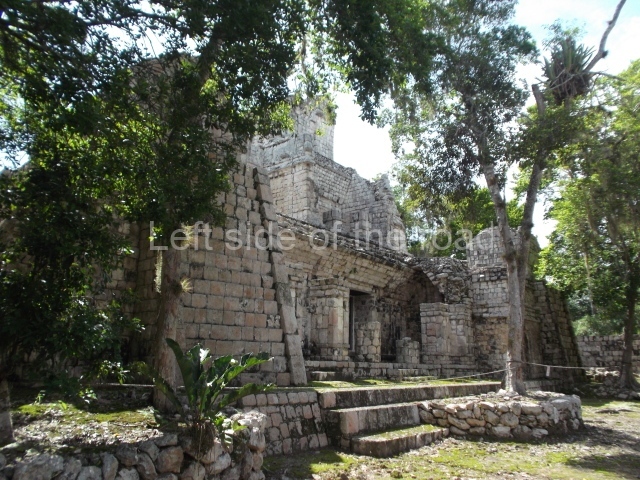
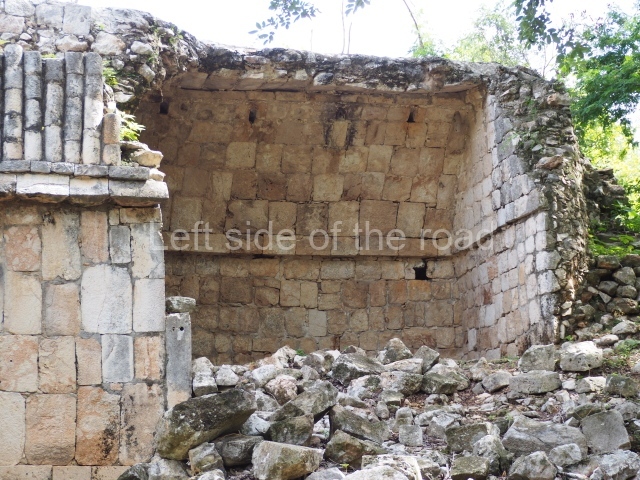
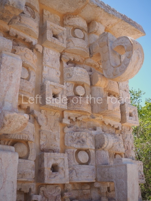
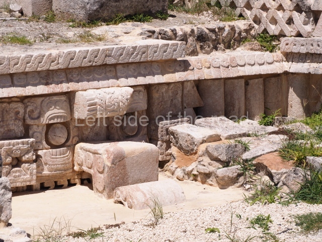
Thus christened by Maler, the building is characterised by a typical Chenes facade covered entirely by a fantastic giant mask. There are auxiliary rooms on both sides of the mask, but the most interesting aspect is the rear section, where the Maya builders created the image of a centipede. These arthropods (chapat, in Yucatec Maya) with their poisonous claws were thought to inhabit the underworld and were associated with the gods of the underworld. Situated next to this building is the Red House composed of three rooms, although only the rear wall is still standing today. The name is a reference to the traces of paint that could still be seen in the 19th century. A path leads from the west of this plaza to another group of buildings.

House of the Stepped Frets.

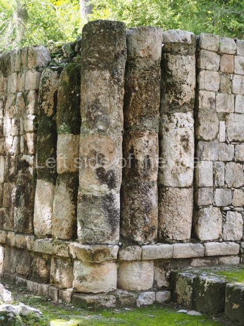
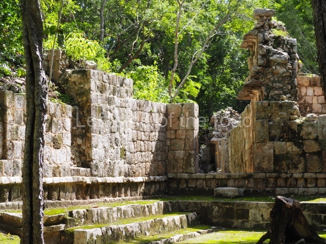
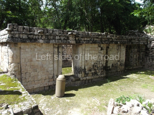
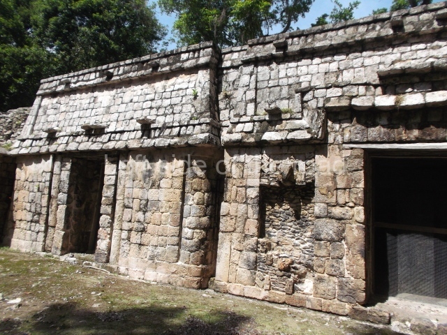
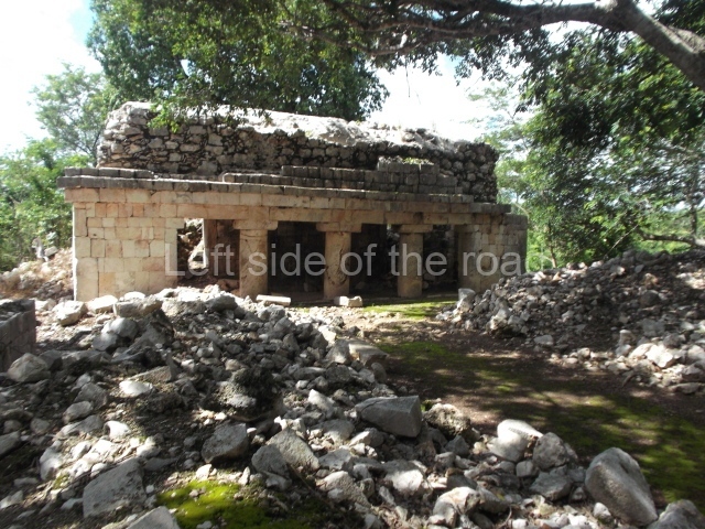
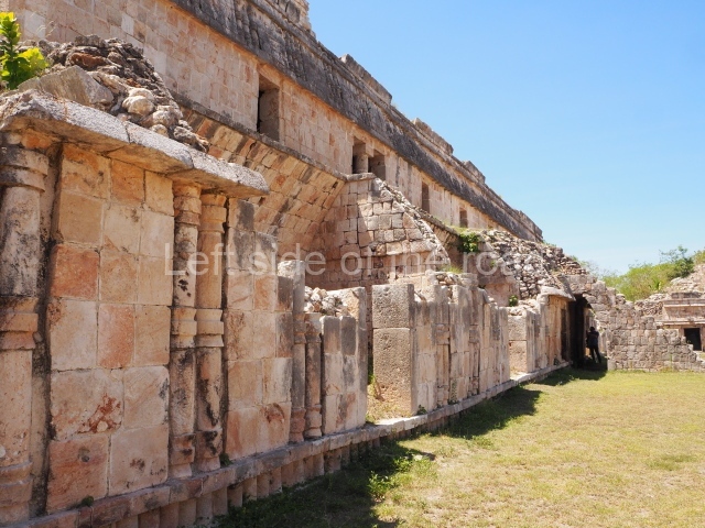
This construction is situated between the Building with the Serpent Mouth Facade and the Palace. In fact, it is another elite residential building, but this time on a single level. It contains spacious rooms that once had corbel-vault ceilings and a rhythmic pattern of slender columns forming part of the walls.

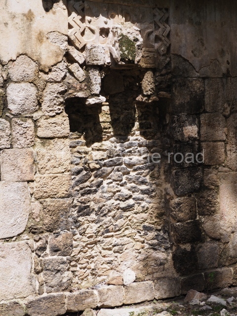
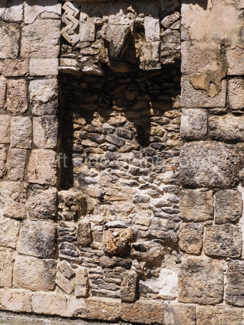
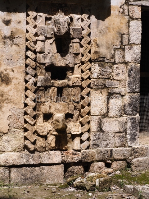
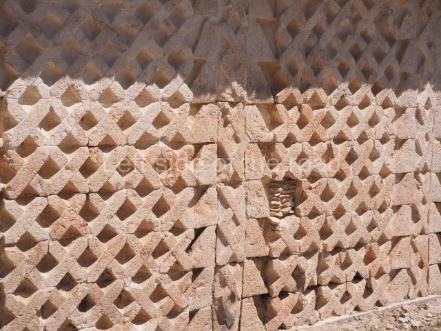
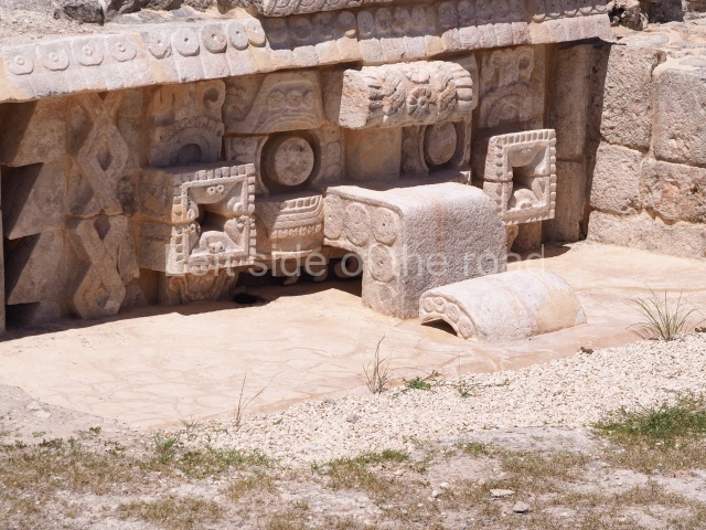
The plinth was decorated with the motif from which the building takes its name: stepped frets are a frequent symbol in the Chenes and Puuc styles, but they have also been found in many Mesoamerican regions. Their meaning remains the subject of debate, having been associated with stylised rattle snakes, the cyclical movement of the stars, opposites, etc. In Central Mexico they were called ‘xicalcoliuhqui’ (xicalli = drinking bowl; coliuhqui = twisted or reclining object).

Itzamna House.

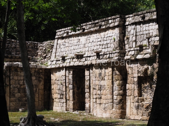
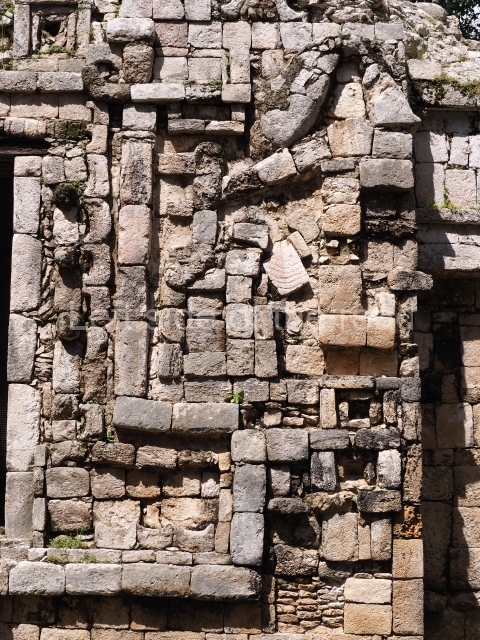
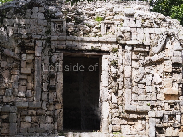
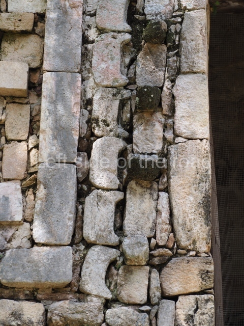
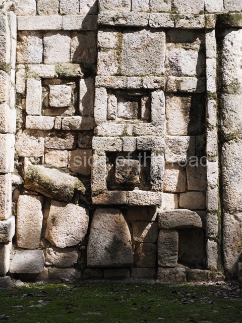
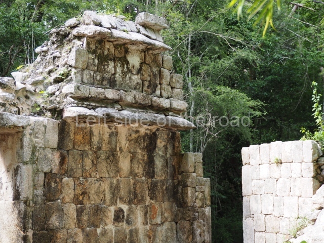
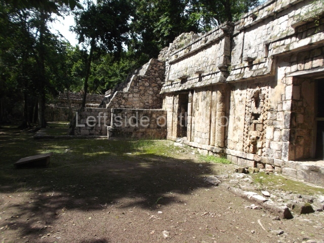
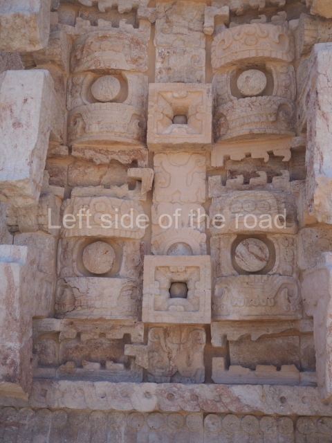
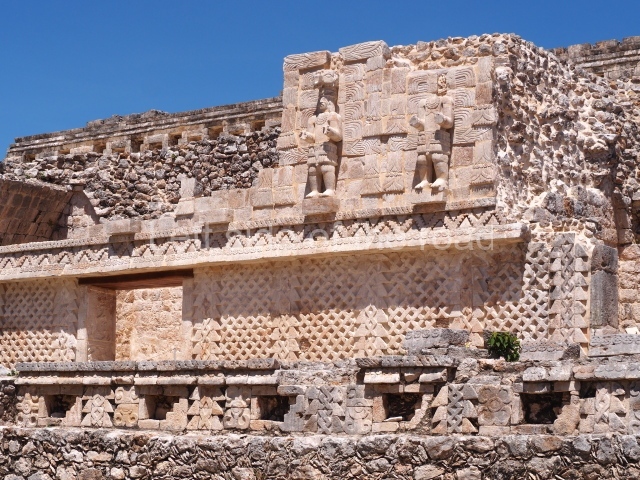
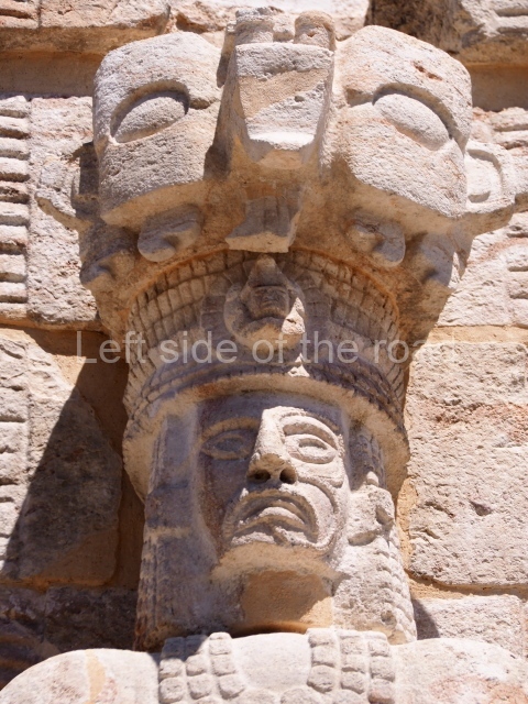
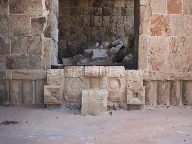
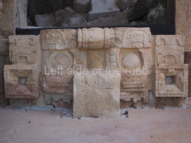
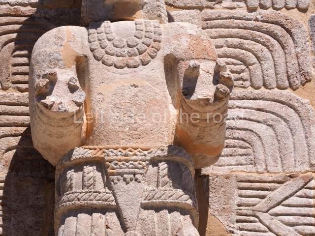
This building stands near the Palace and also adopts a north-south longitudinal axis. The central part of the construction is clearly defined by a wide east-west corridor. Both entrances are flanked by the image of the Earth Monster made out of specially cut veneer stones to create a mosaic. This mythical creature was the personification of Itzamna, the creator god, sometimes represented as an iguana, sometimes as a crocodile and occasionally as an aged anthropomorphic being. The representation on this building at Santa Rosa Xtampak is another variant of the god that decorates the uppermost wall of the Palace (top and centre of the east facade). Other similar images have been reported in the Chenes region, such as at Nohcacab (Campeche), and in the Puuc region, such as at Uxmal (north-west sub-structure of the Governor’s Palace) and at Xburrotunich (near Oxkintok). Both wings of the Itzamna House contain an equal number of rooms, which once had corbel-vault ceilings.

Cuartel.

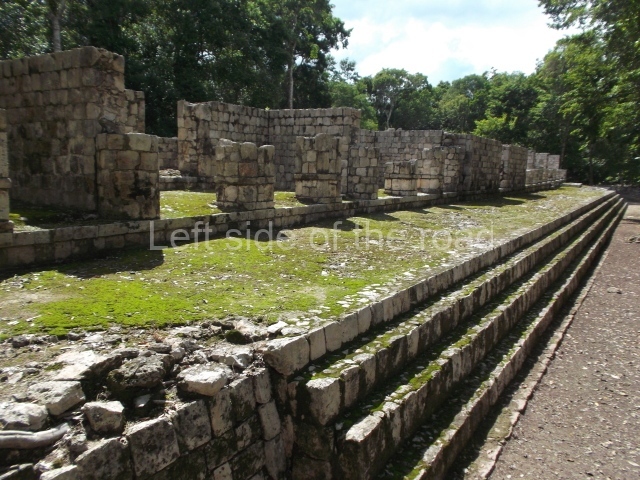
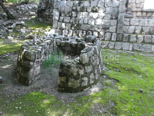
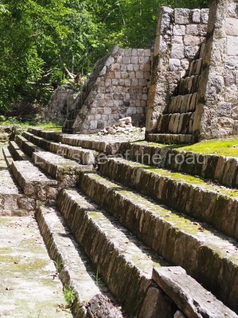
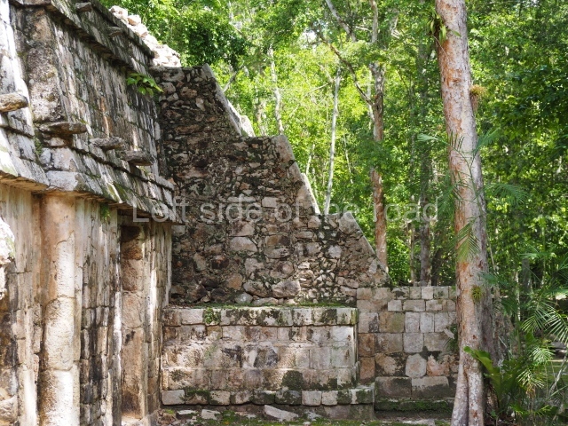
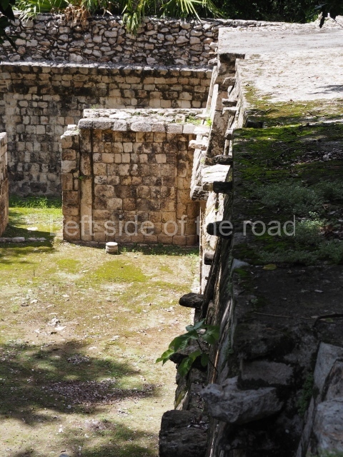
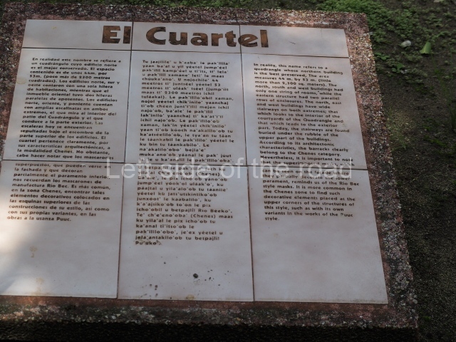
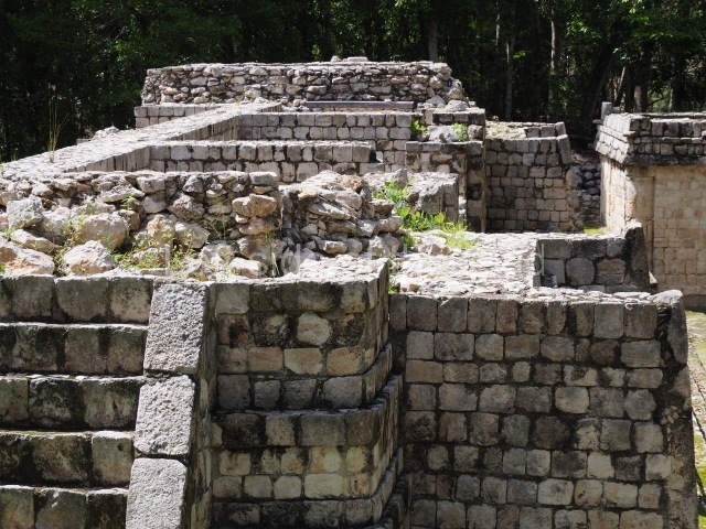
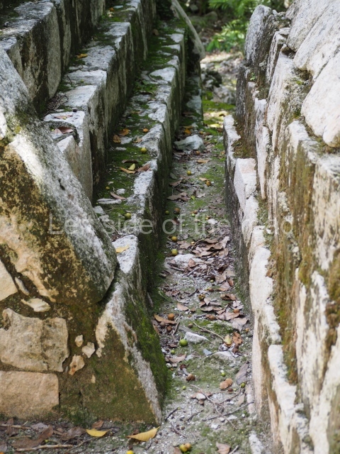
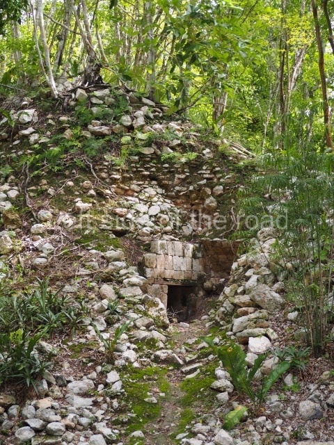
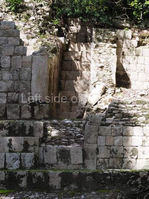
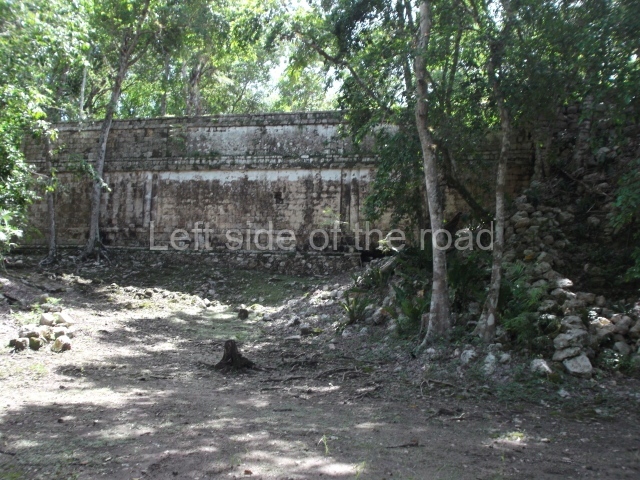
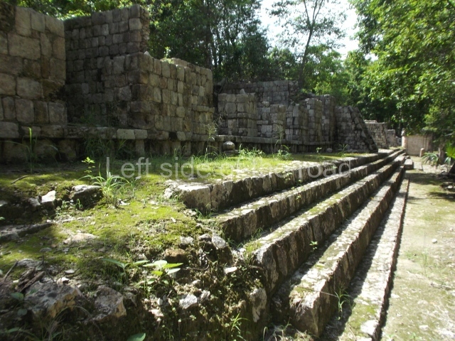
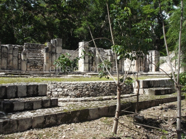
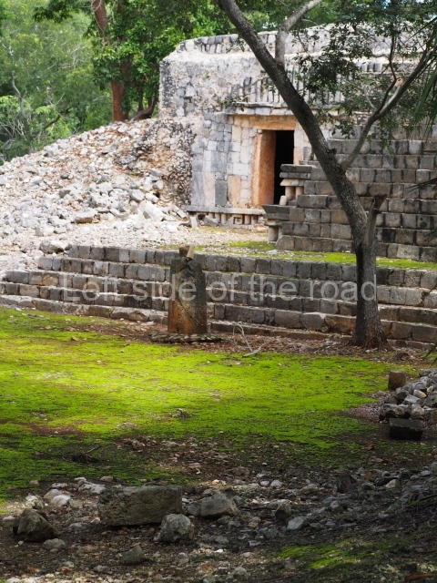
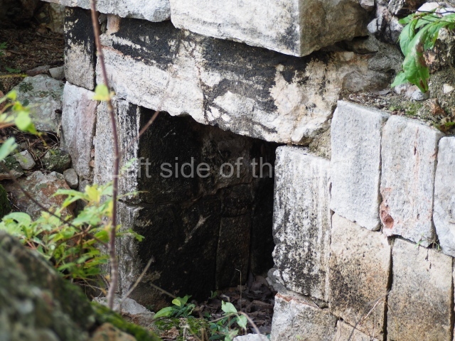
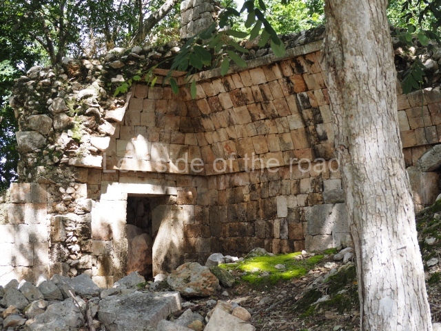
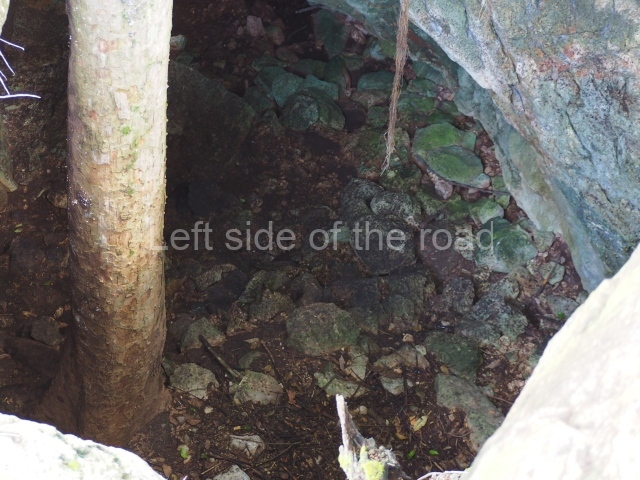
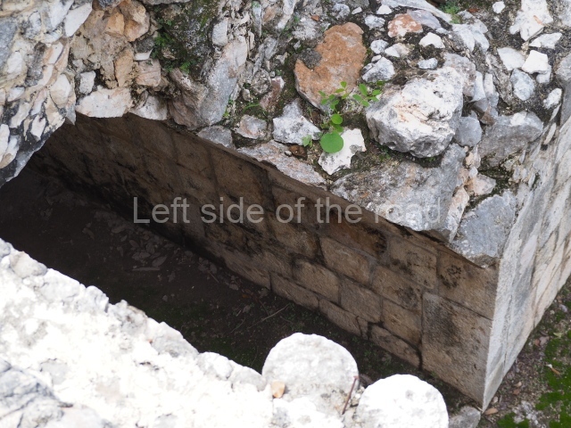
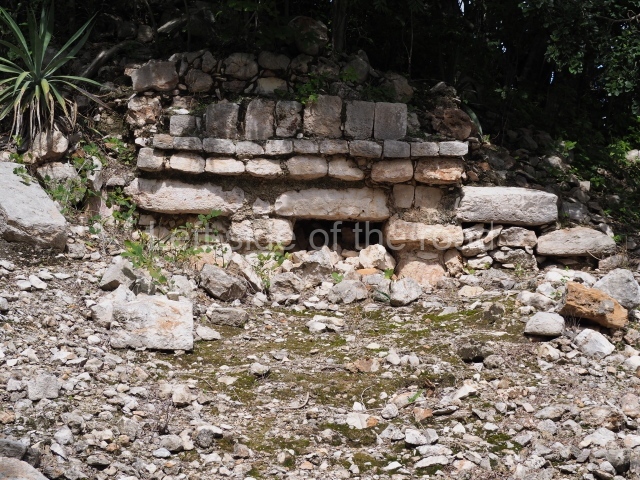
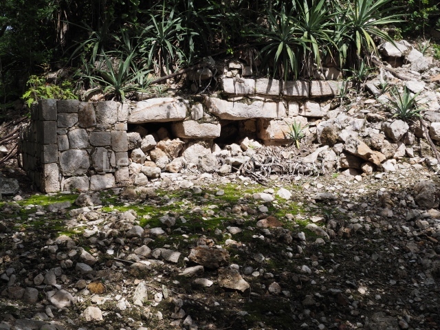
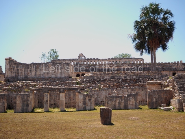
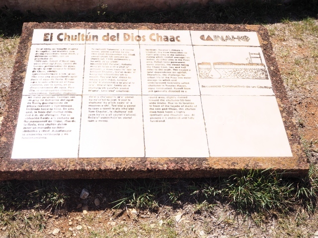
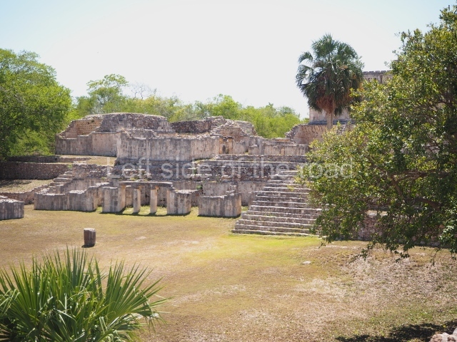
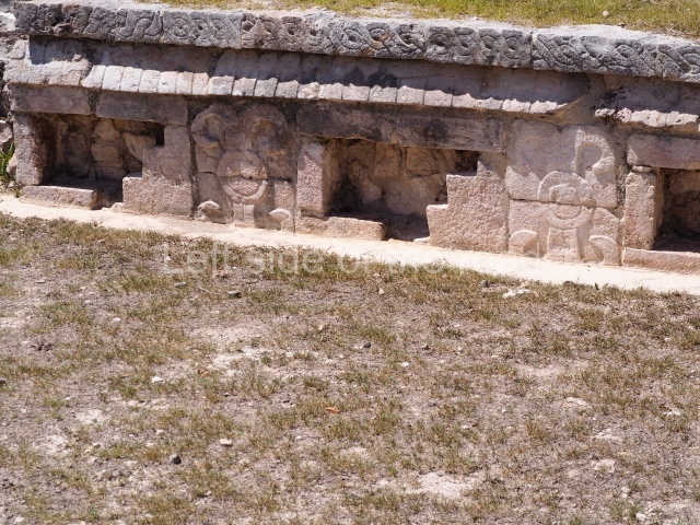
This is a large quadrangular courtyard on whose north side stands a building with several room. In the middle are the ruins of a stairway and three rooms on each side. The middle rooms is flanked by stacks of stylised masks and the frieze on the medial moulding displays two folds that evoke the ‘broken mouldings’ that were popular during one of the Puuc architecture phases. Several other buildings at Santa Rosa Xtampak combine Chenes and Puuc features – a common situation given the physical and temporal (c. AD 600-800) proximity of the two regions. Another series of constructions nearby (south side of the quadrangle) display a wide stairway leading to the rooms. Between the steps it is possible to see the mouth of a chultun. These underground cisterns for collecting rain water were very common at sites in the Chenes and Puuc regions, both in the monumental precincts as described here and also in the sections occupied by modest dwellings.

The name of this architectural group (cuartel is the Spanish word for ‘barracks’) does not actually have any military associations. It was thus called by the locals in the mid-19th century (when the site was reported by John Stephens). In this respect, it resembles the ‘Nunnery’ Quadrangle at Uxmal, which again has no logical basis but spread in the 16th century when the first Spaniards visited it.

South-east quadrangle.

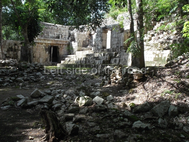
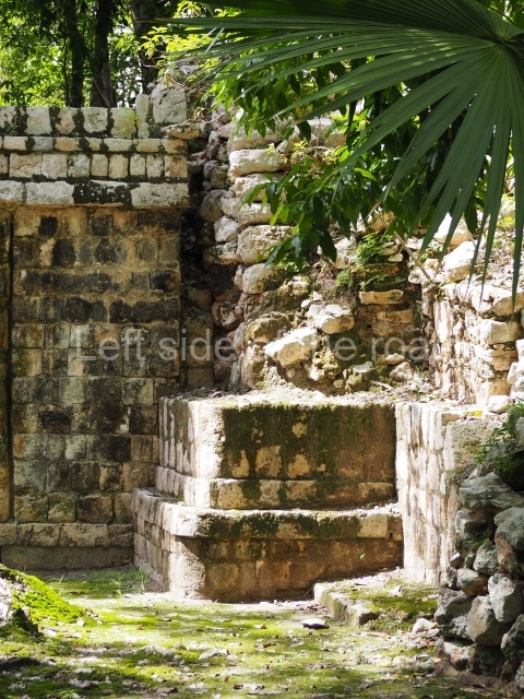
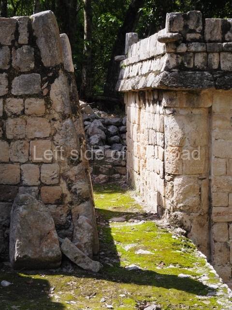
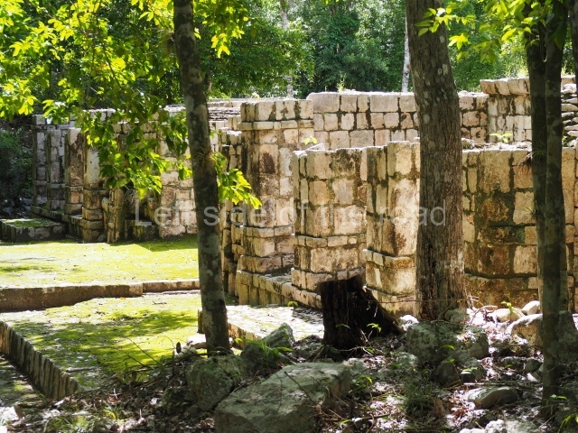
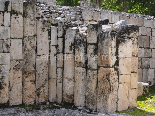
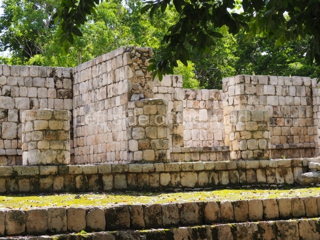
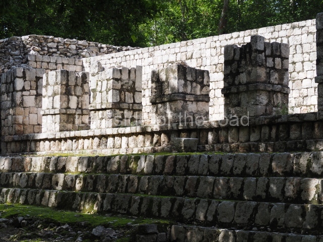
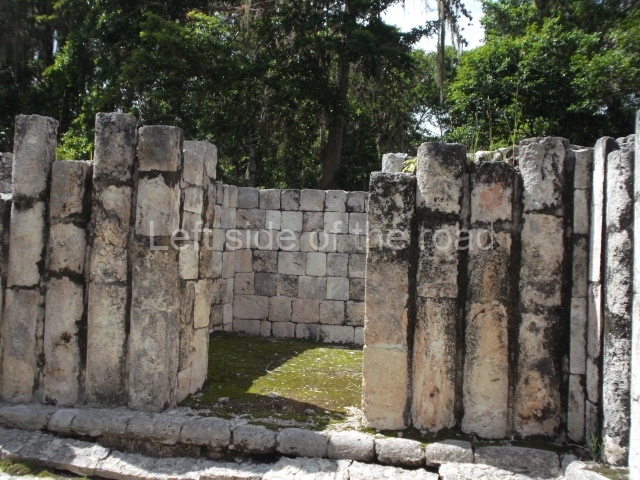
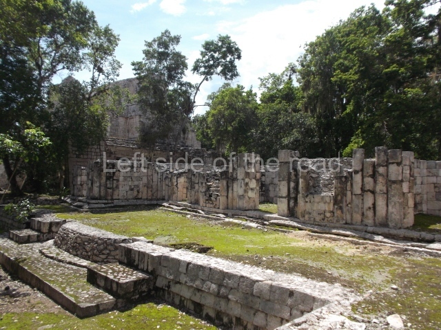
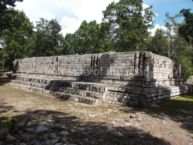
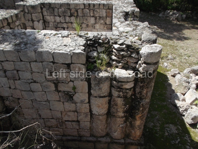
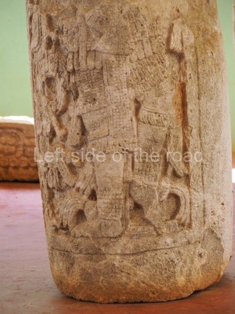
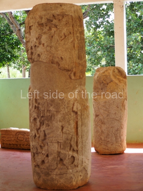
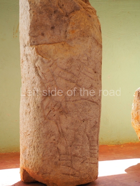
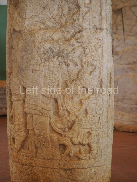
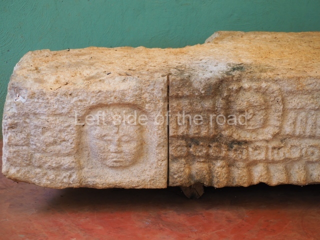
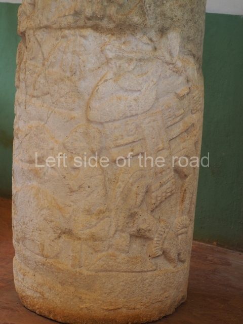
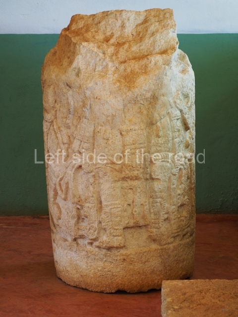
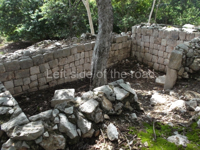
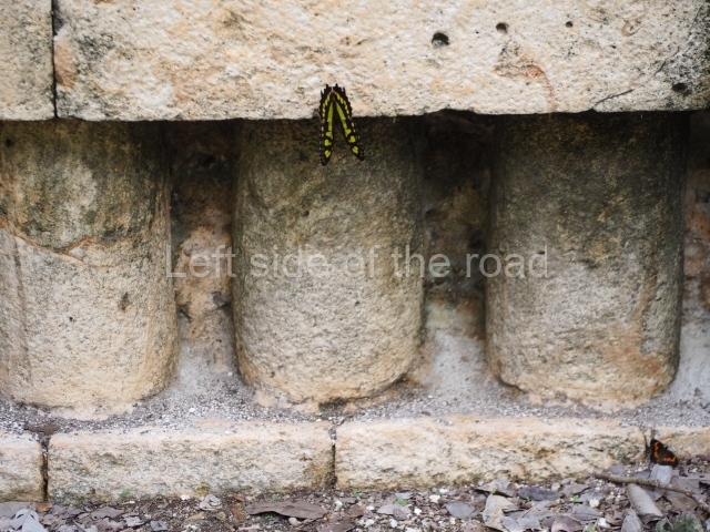
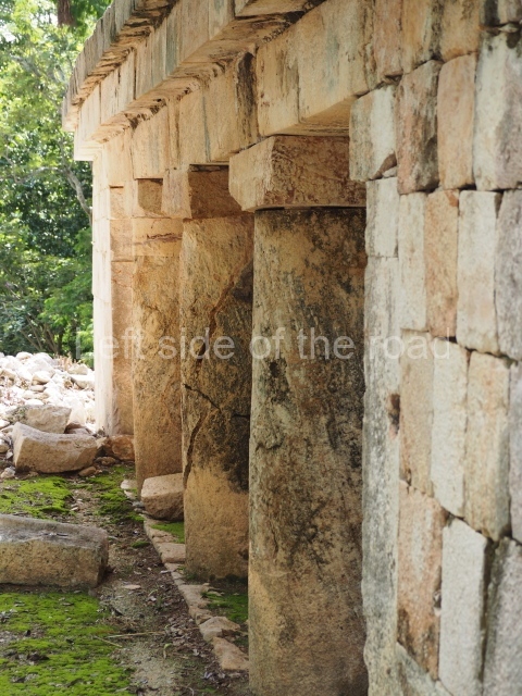
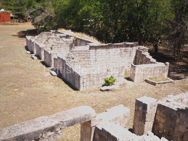
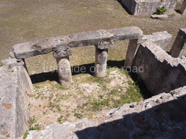
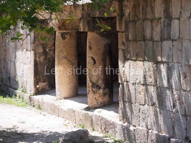
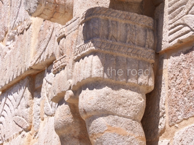
The entrance to this architectural group is via the north-west corner, given that the east, south and west ranges are connected at their corners. All of them once had corbel-vault rooms. The north range is an independent construction and it was here that researchers found various cylinders with reliefs depicting a god with large pumpkins that extend downwards, creating a type of fabric on which he seems to walk or dance. The sculptural style corresponds to the Terminal Classic (between AD 800 and 900). In the middle of the quadrangle is a low platform. The east range displays thick columns forming entrances. These supports are crowned by mouldings with three elements, almost identical to those reported at Ek’ Balam in eastern Yucatan.

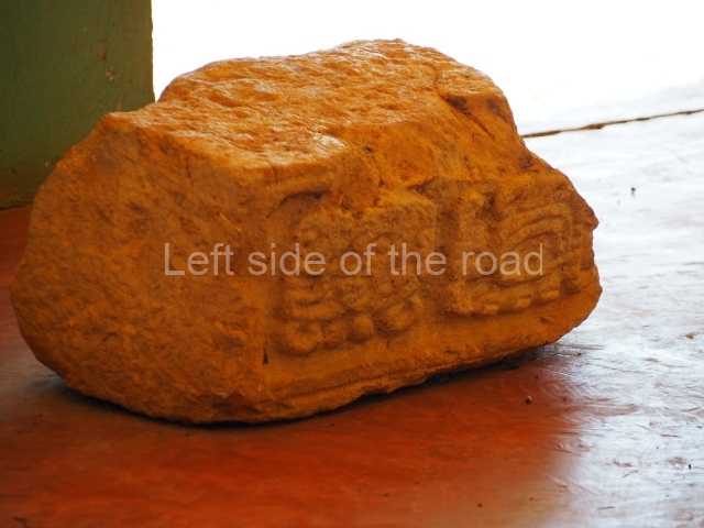
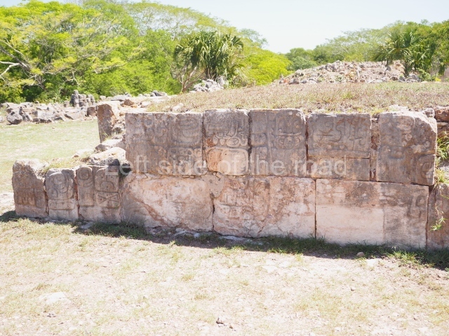
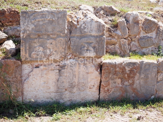
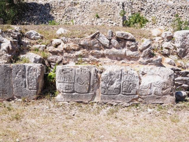
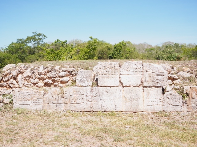
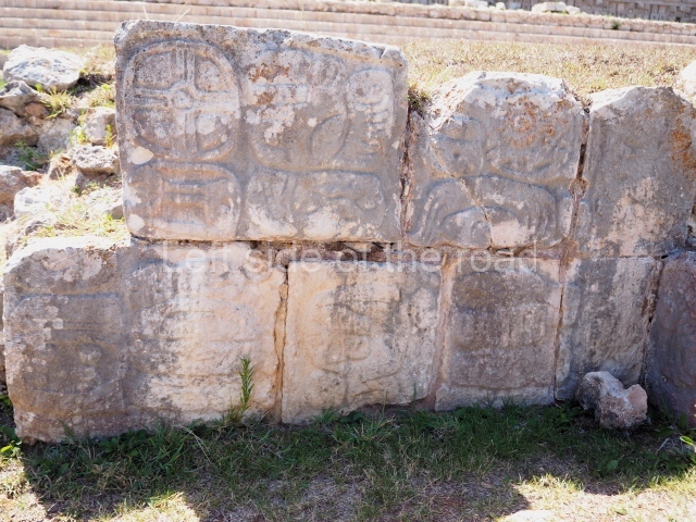
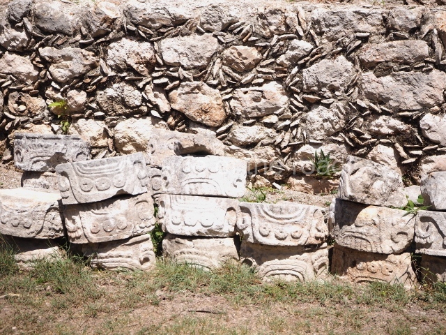
Several points indicate that this architectural group was created at different times. In the south-east section of the quadrangle, various veneer stones with unconnected reliefs have been used as part of the wall but evidently recycled from an earlier construction. Beyond the wall a passageway leads to rooms where the corbel-vault ceiling seem to be misaligned – another indication of the gradual construction of the group.

Star hill.

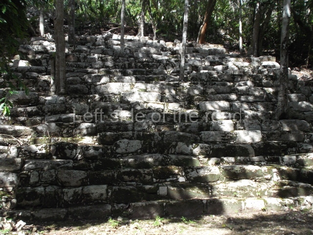
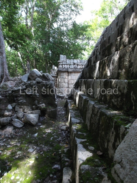
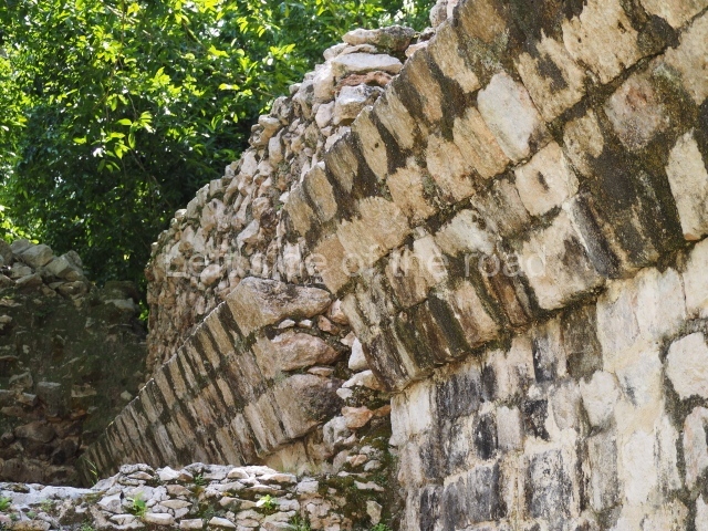
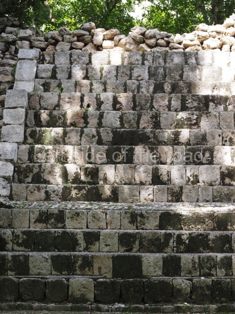
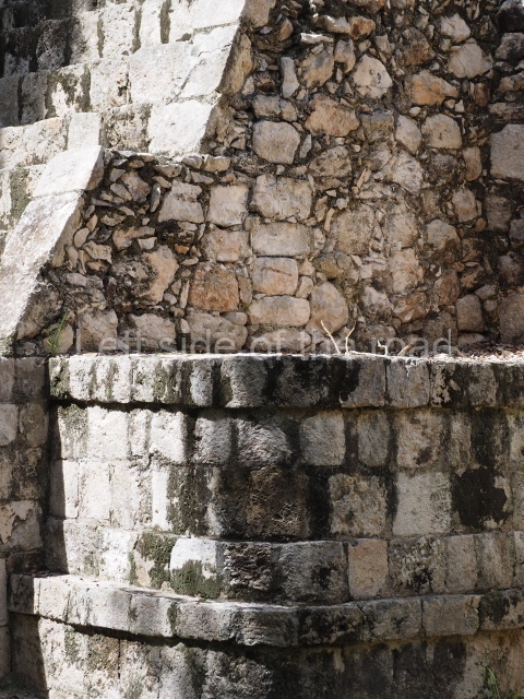
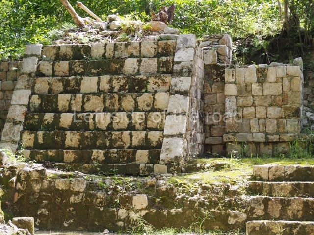
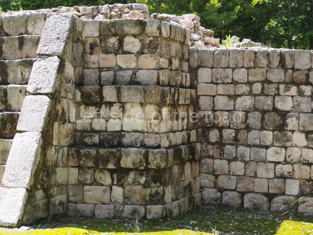
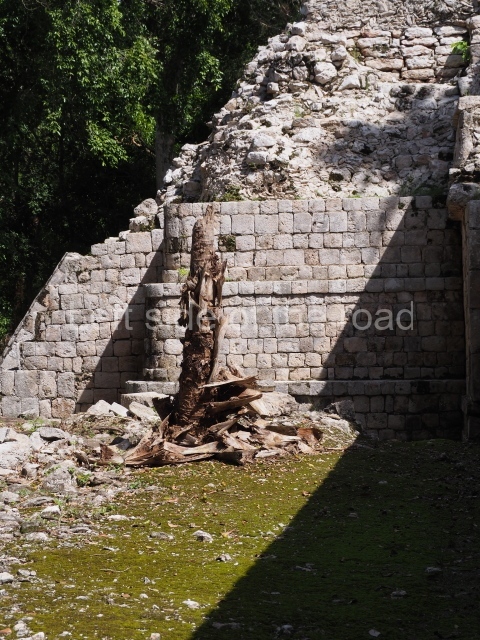
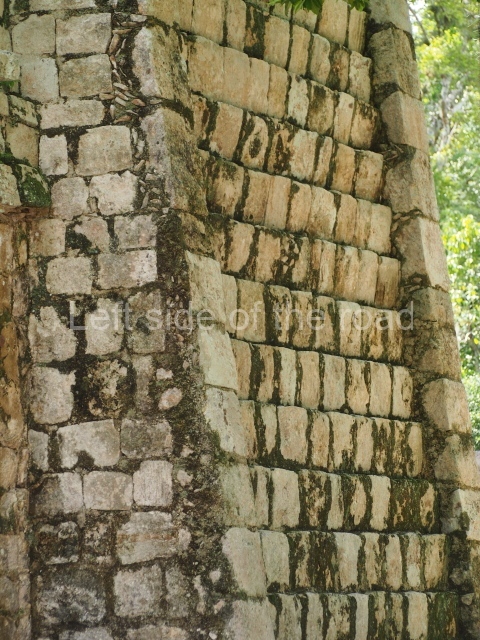
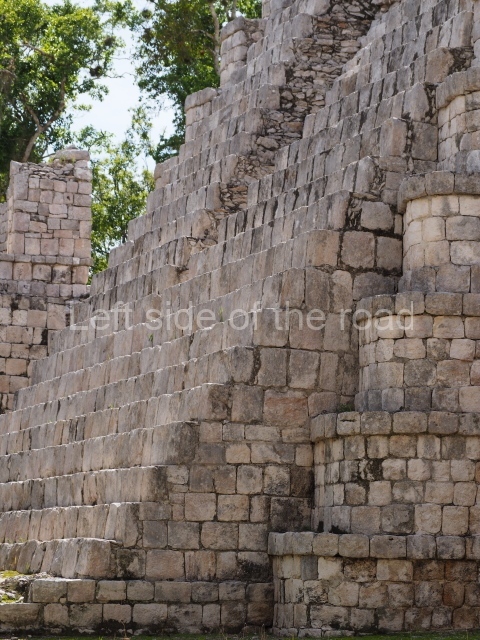
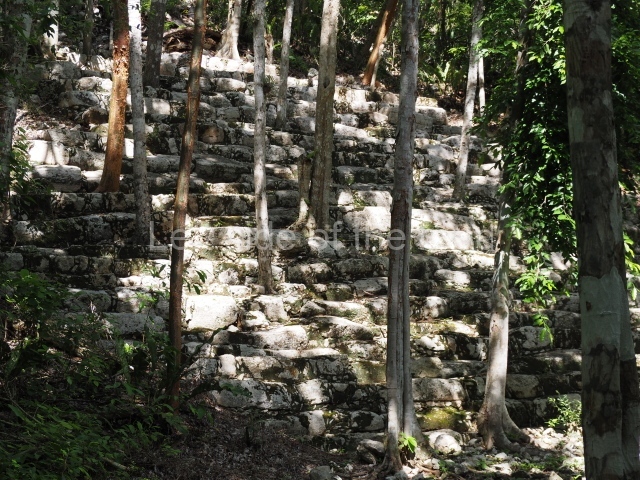
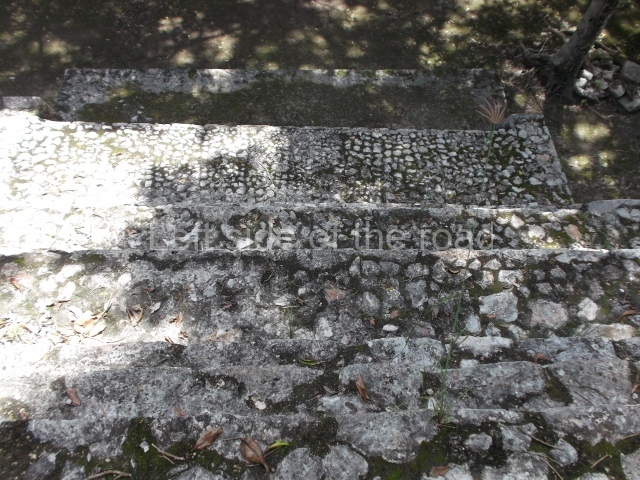
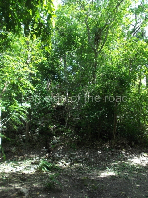
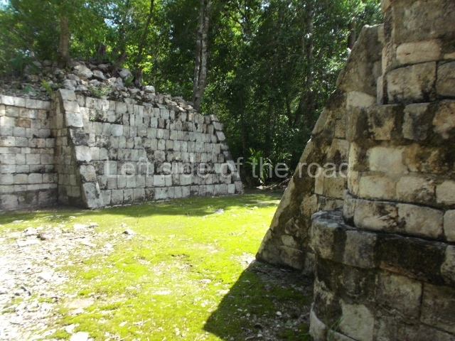
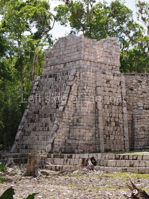
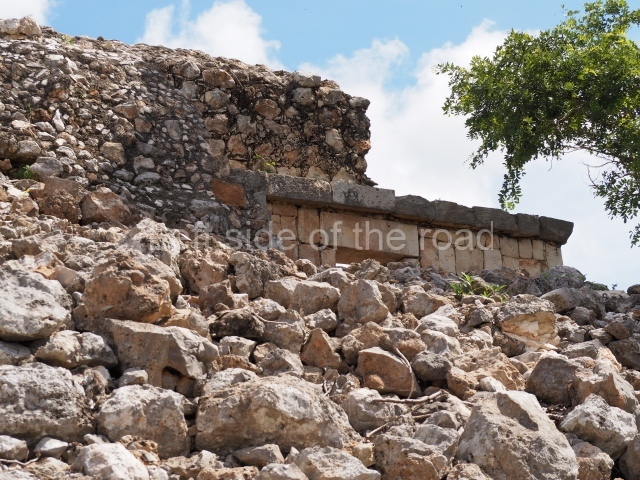
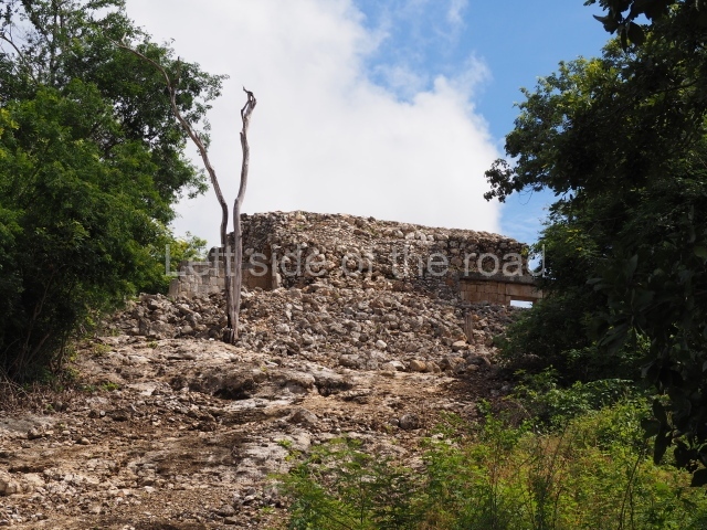
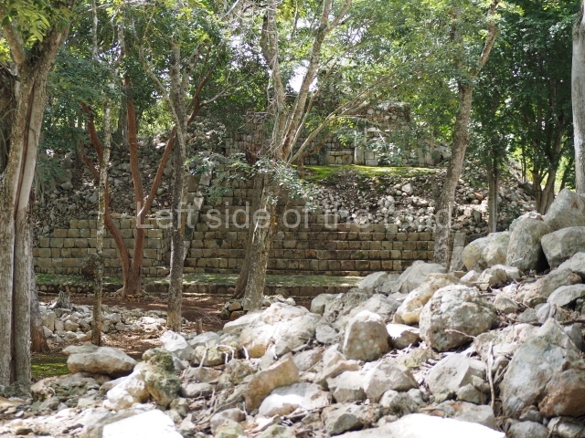
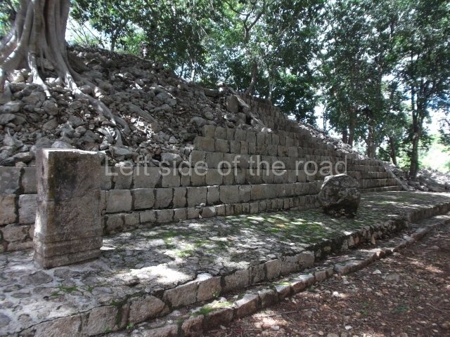
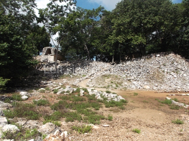
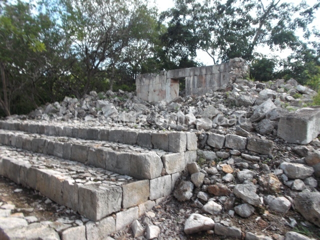
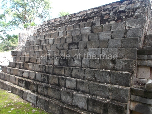
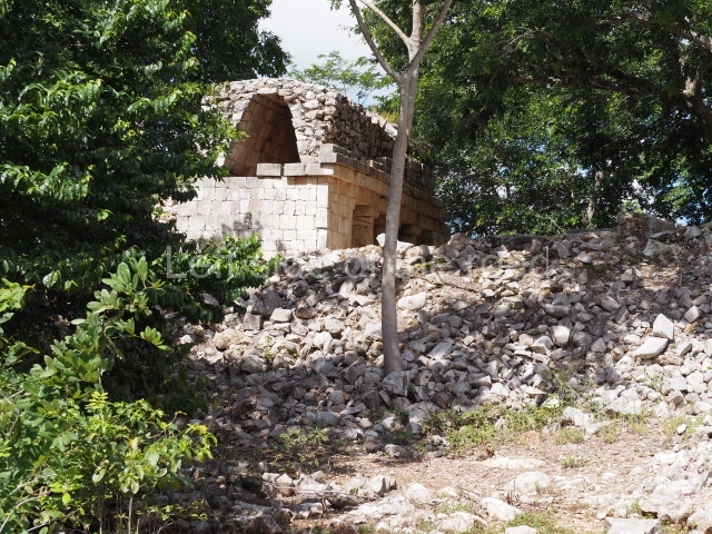
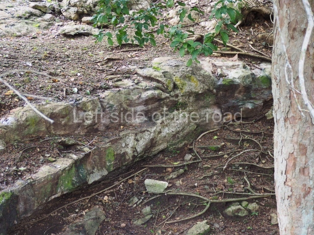
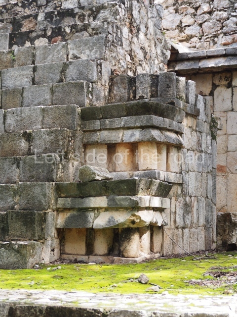
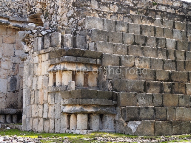
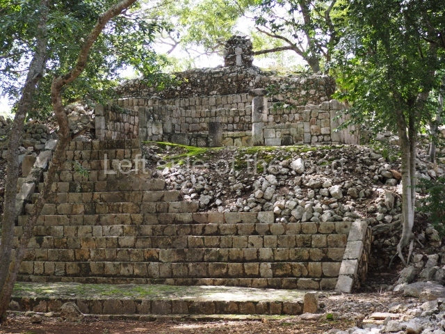
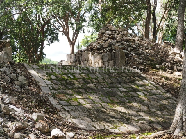
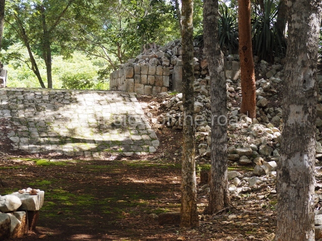
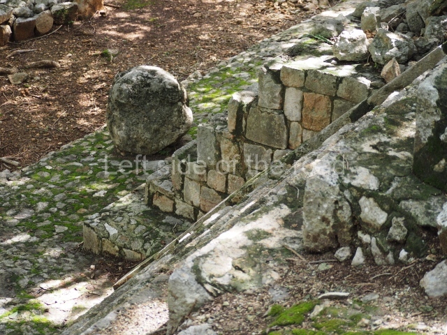
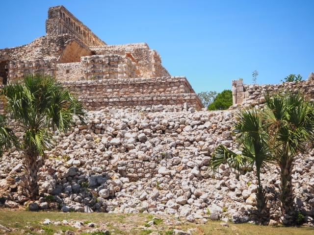
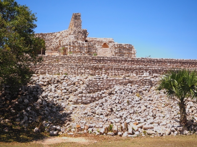
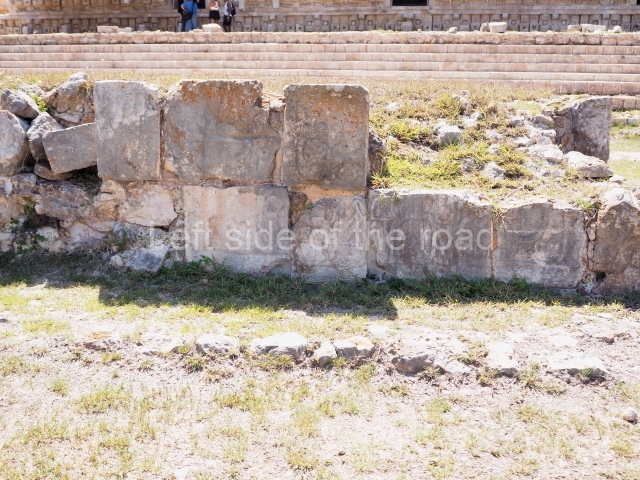
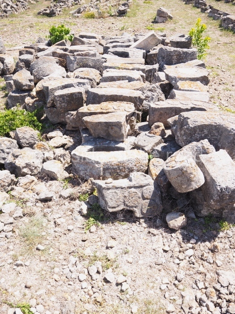
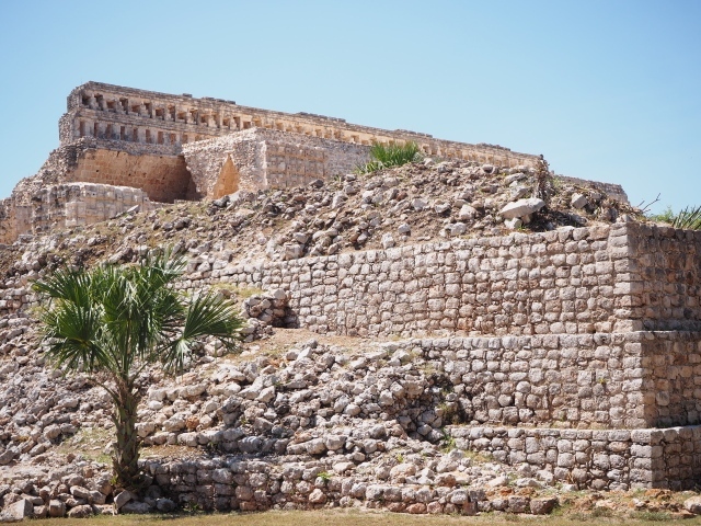
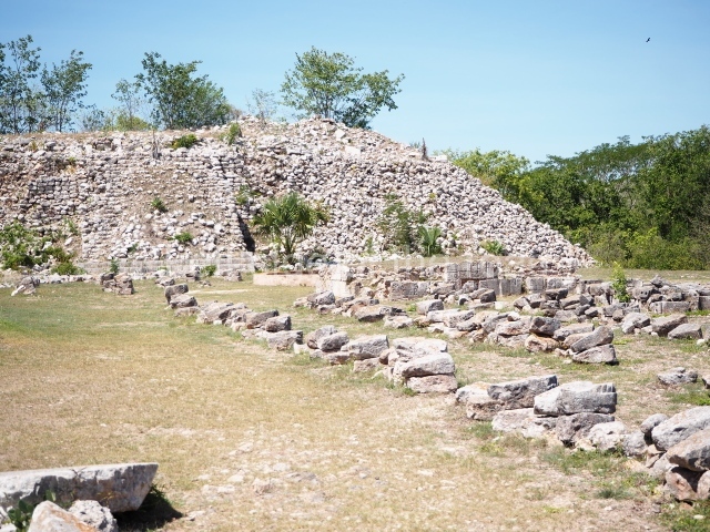
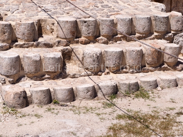
The South Plaza at Santa Rosa Xtampak is bounded to the north by an enormous pyramid platform, nowadays known as Star Hill, at whose base it is still possible see some of the megalithic steps that facilitated its access. These elements correspond to the earliest occupation of the settlement, like the Petenstyle stairways with giant blocks reported at other regional capitals of the peninsula, such as Edzna, Dzehkabtun, Izamal and Coba. The top of Star Hill is the highest point of the core area of Santa Rosa Xtampak. However, archaeological explorations have not yet been conducted in this part of the site and it is still covered by vegetation.

Importance and relations

Santa Rosa Xtampak is one of the most important Maya cities in north-eastern Campeche. The labour expended to build the pyramids, palaces and temples reveals a solid political structure that controlled a large region. The rulers commissioned official texts for stelae and the paintings in several rooms; they maintained long-distance trade links and played a vital role in the local economy, especially during the Late Classic (AD 600-900). The eight stelae recorded thus far contain dates ranging from AD 646 to 911.

From: ‘The Maya: an architectural and landscape guide’, produced jointly by the Junta de Andulacia and the Universidad Autonoma de Mexico, 2010, pp 311-315.

Santa Rosa Xtampak

Santa Rosa Xtampak

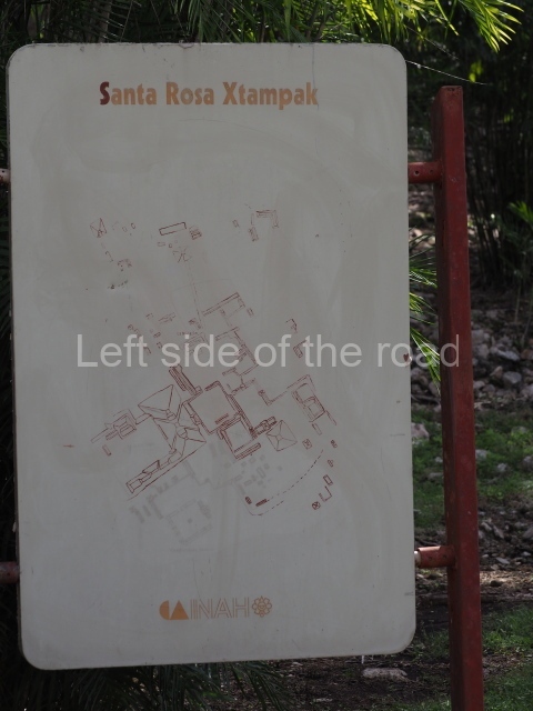
1. Palace; 2. Building with the Serpent Mouth Facade; 3. Red House; 4. House of the stepped Frets; 5. Itzamna House; 6. Cuartel; 7. Ball Court; 8. South-east Cuadrangle; 9. Star Hill; 10. West Group; 11. North-west Group; 12. North Group.

Getting there:

From Hopelchen. It’s not easy without your own transport. However, tuk-tuk’s will take you there, wait for two hours and then take you back to Hopelchen. You have to decide what price you’re prepared to pay. A slow tuk-tuk takes about 90 minutes each way.

GPS:

19d 46’ 20” N

89d 35’ 50” W

Entrance:

M$70

More on the Maya

Xcalumkin – Campeche – Mexico

Xcalumkin

Xcalumkin

More on the Maya

Xcalumkin – Campeche

Location

The pre-Hispanic settlement occupied a large savannah of kankab or reddish earth, measuring approximately 5 km along its north-south axis and 2 or 3 km wide, and surrounded by hills that are nowadays used for irrigation and/or seasonal farming. In the core area of the site are two cenotes or natural wells, which may have given rise to the human settlement. In any case, the Maya complemented these sources of water by building underground cisterns or chultunes near their dwellings. The name of the site is derived from the Yucatec Maya and may be a reference to a ‘very fertile spot well lit by the sun’, which is characteristic of the savannah. Xcalumkin is situated 85 km north-east of Campeche City. After reaching Hecelchakan, take the road to Cumpich and after 12 km turn off on to the dirt track leading south to the archaeological area.

History of the explorations

Teobert Maler was the first person to report the site, in the late 19th century. He took photographs and recorded the architecture still standing. During the first half of the 20th century the carefully cut veneer stones covering several of the buildings were heavily plundered and sculptures and hieroglyphic inscriptions were acquired by collectors. The ruins of the Maya city were then visited sporadically by experts such as Alberto Ruz, Paul Gendrop and George Andrews. However, they were studied in greater detail in the 1990s by a team of French archaeologists from the Museum of Mankind in Paris, led by Pierre Becquelin and Dominique Michelet. They drew up the first map of the site and a detailed record of the surface architecture. Around the same time, Antonio Benavides C. embarked on the first consolidation works. He has been joined in subsequent campaigns by Heber Ojeda and Vicente Suarez from the Campeche branch of the INAH.

Timeline, site description and monuments

The architecture and ceramics indicate a timeline of occupation commencing in AD 500 and ending in 900. The settlement is large and only a few buildings in the core area have been restored. The more distant groups are still covered by vegetation.
Building on the north-west hill.

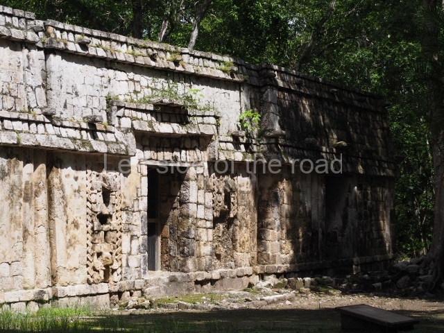
The first building that can be visited is situated at the top of a natural elevation some 15 m above ground level and consists of three south-facing rooms; the central one is connected to another interior space and its facade is partly covered by a projecting stairway leading to the roof or top floor. The northern section bounds a plaza at the top of the hill, at the centre of which the Maya built a cistern. Here, a new concrete ring protects the mouth of the chultun and prevents accidents. Originally, there was a carved stone ring with four perforations to channel the water.

Palace of the Colonnettes.

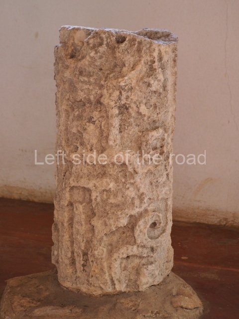
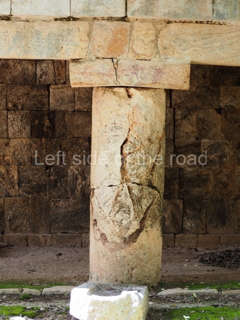
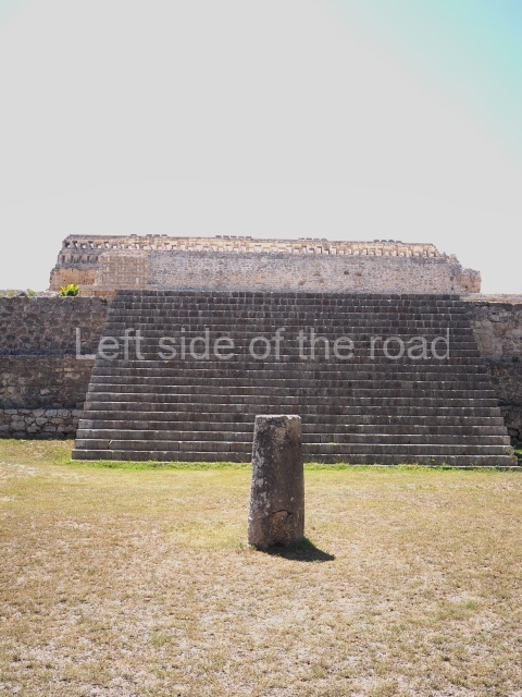
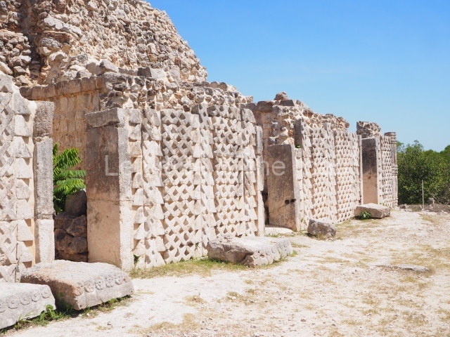
This monumental building once contained ten rooms, each with their own entrance. The name of the palace is conventional and suggests that it was the residence of the Xcalumkm rulers. It stands on a large rectangular platform and its south facade has a stairway leading to the second level. At the top and bottom of the stairway, the corners are decorated with three smooth colonnettes crowned by a triple moulding. The impression is of small constructions that summarise the Classic Puuc architecture. In front of the building and the platform stands a monolithic column of a later date. It probably formed part of another monumental construction, but during the Postclassic it must have been used either as an altar or a place for depositing offerings. Behind the stairway a vaulted passage facilitates the circulation between the rooms on this side. The building takes its name from the long colonnettes that decorate the frieze or upper section of the wall. Due to various episodes of plundering, only three of the original rooms are still standing today. The one on the west side contains a stone sculpture that was rescued near the site. It represents a seated aged female (xnuk, in Yucatec Maya), a mythical figure that appears in the legends of rural communities and who is said to grant special favours in exchange for children or human lives.

Courtyard of the Columns.

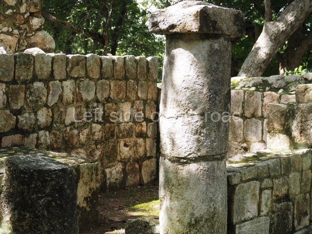
Just south-east of the Palace are two courtyards. The north side of this one is bounded by early buildings that contained rooms with numerous entrances formed by columns, while the east, south and west sides display constructions with several entrances. In the south-west section of the courtyard a ramp leads south to the adjacent courtyard.

Courtyard of the Altars.

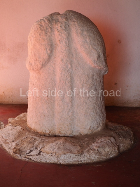
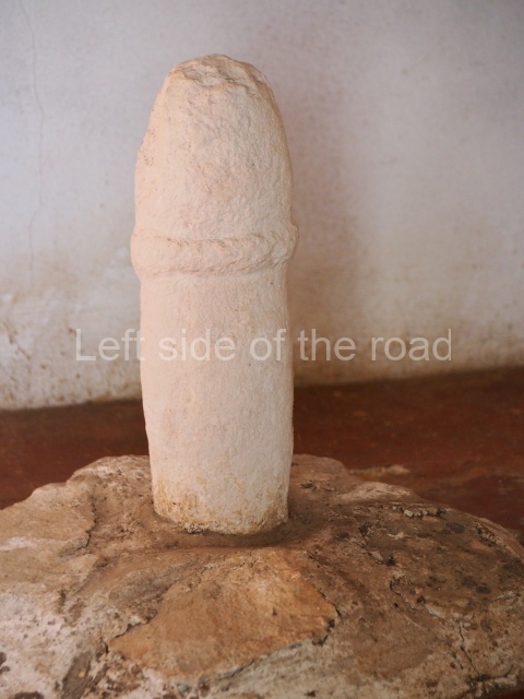
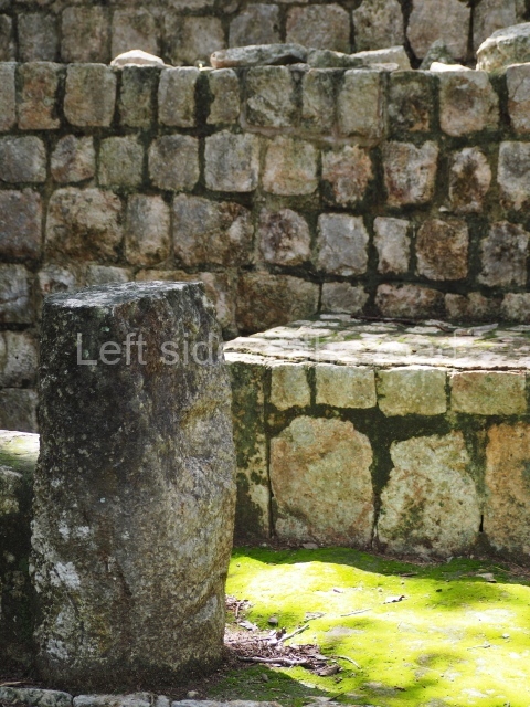
This is accessed via the north-west corner, coming from the previous courtyard. In the middle stands a large but low platform, quadrangular in shape, which had small stairways on two sides. Just south of the platform, two stairways lead to two separate temples built on older constructions from the Early Puuc phase. These have several entrances formed by columns, which now serve to support the temples. The stairway in the south-west section has balustrades and the temple at the top was accessed by a tripartite entrance formed by columns with several drums. Inside, it is still possible to see a small rectangular altar in the middle of the space. In the south-east section are two altars at the foot of a stairway. One adopts the form of a rectangular limestone prism decorated with criss-crossed lines to indicate a woven mat, the pre-Hispanic symbol for political authority. The other altar was a large colonnette, also made of limestone, but due to erosion and neglect it now looks like a large sphere.

Initial series group.

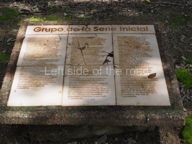
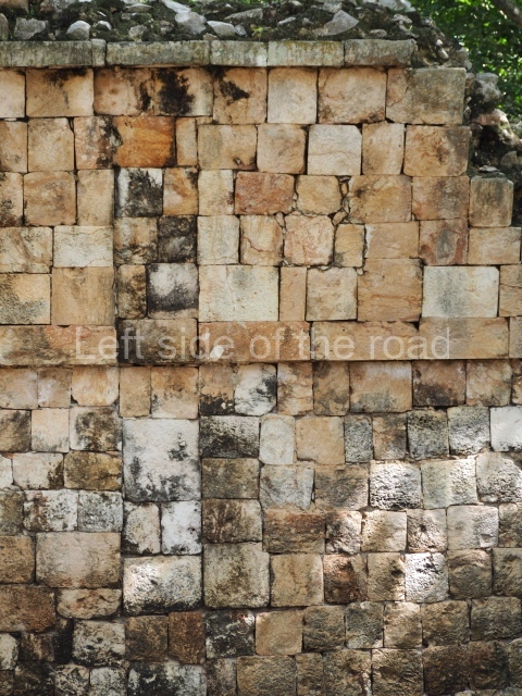
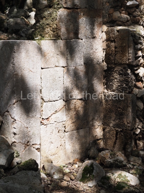
Situated south of the previous space, this is composed of a platform 3 m high on which four monumental buildings were erected, although nowadays only the north and south ones are still standing. The south building has four entrances formed by three columns. Its facade displays carefully cut blocks of limestone which were once decorated with a variety of painted stucco motifs. Inside, it has an elegant and very high corbel-vault ceiling made out of blocks specially cut to fit specific points. The group takes its name from the north building because this construction once boasted a long hieroglyphic inscription containing an ‘initial series’, that is, the appropriate information to match the Maya date with our calendar. The Maya date in question is ‘9.15.12.6.9. 7 Muluc 1 or 2 Kan kin’, which is equivalent to 27 October AD 743. Unfortunately, the inscription was stolen and nowadays graces a private collection in Mexico City. The central section of the rear wall of the north building is recessed, this being the place where the hieroglyphic inscription was found.

House of the Great Lintel

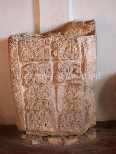
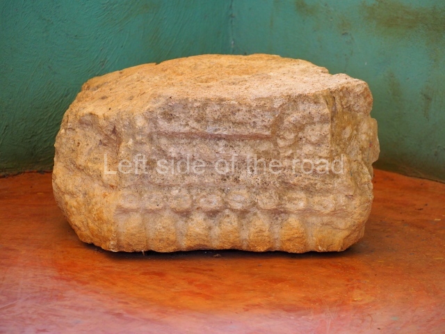
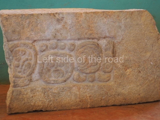
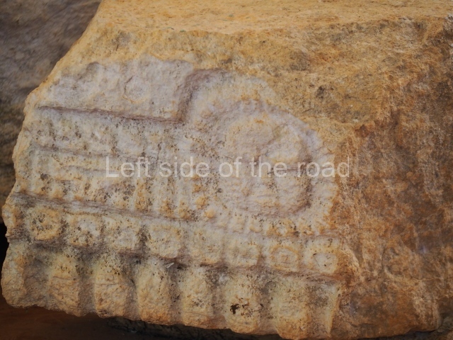
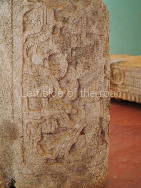
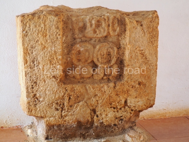
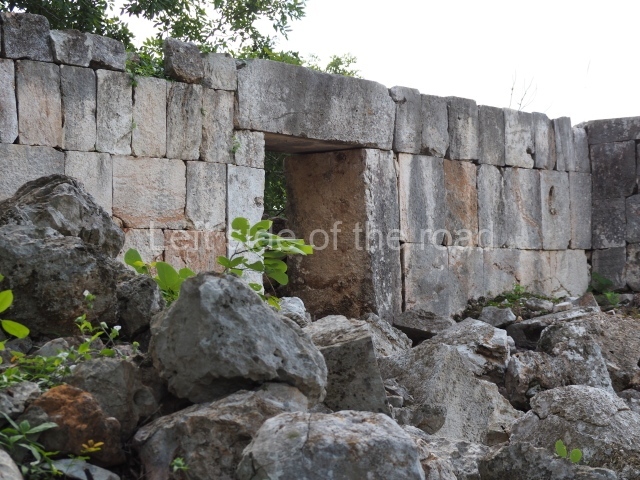
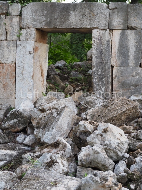
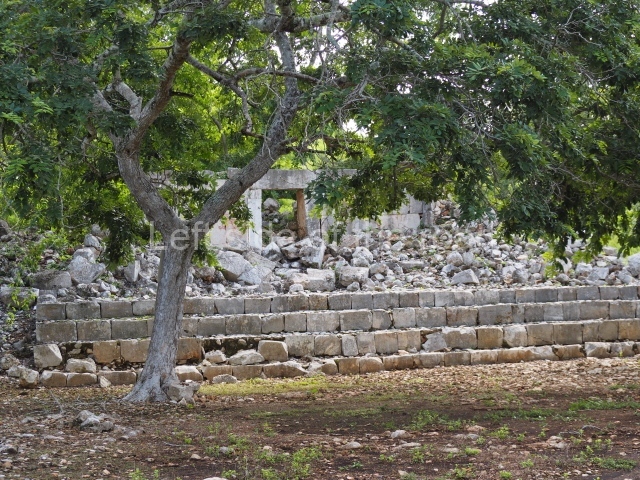
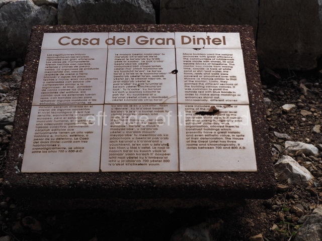
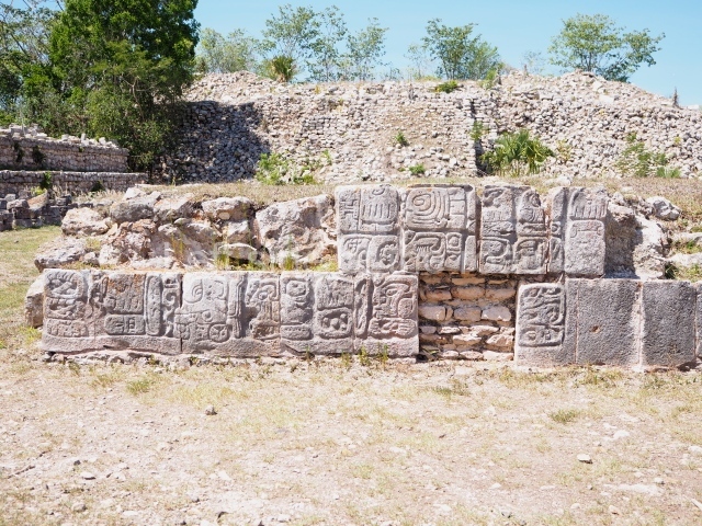
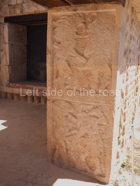
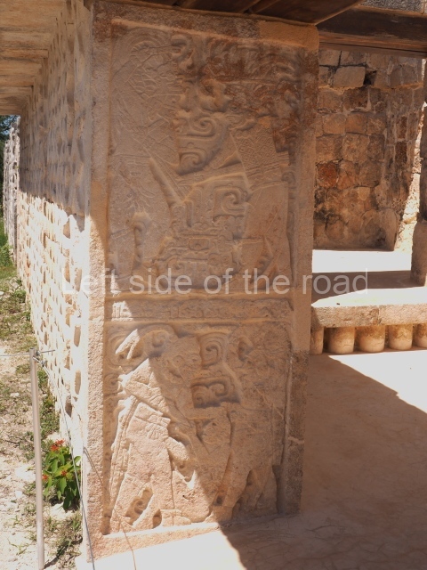
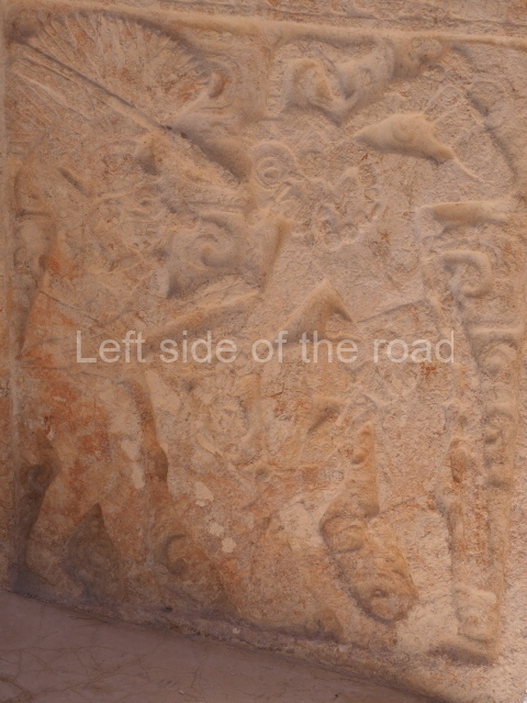
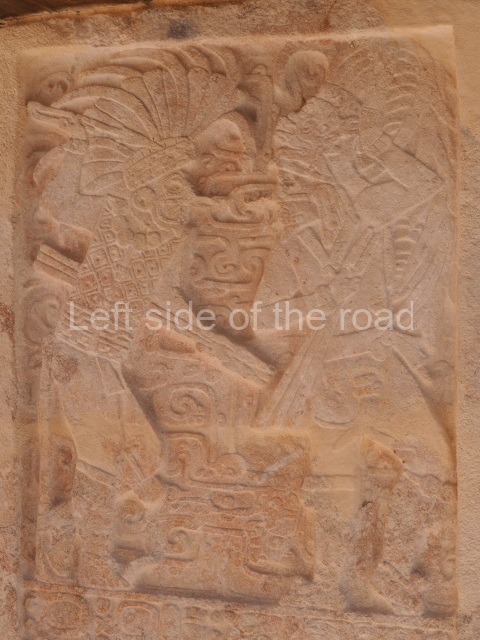
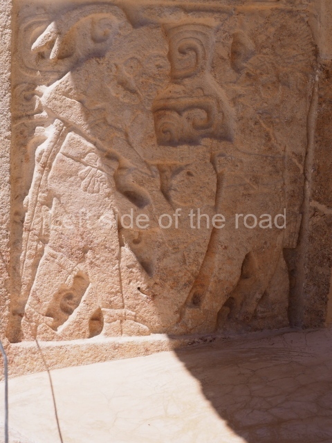
This is situated in the south-eastern section of the site and was thus named because of the size of the lintel above the main entrance. It once contained three rooms but only the central one is still standing. It was built between AD 700 and 800. Several pieces from Xcalumkin are on display at the Hecelchakan Museum and in various museums in Campeche City (the Baluarte de la Soledad tower and Fort Saint Michael). The most interesting items are the monolithic columns with large hieroglyphs. These formed the entrances of some of the palaces at the site. Other important items are the blocks of stone with glyphs culminating in serpents’ heads, which formed part of an impressive hieroglyphic doorway. There are also jambstones and panels depicting important pre-Hispanic dignitaries at the ancient site.
Importance and relations

Xcalumki’n maintained strong ties with its neighbours. With the closest ones, it shared the Xcombec Valley, east of Hecelchakan, where the palaces at many sites had multiple entrances formed by columns with carvings of figures. It also maintained relations with the coast, specifically with Jaina, whose emblem glyph has been identified at Xcalumkm. It was a contemporary of Uxmal and Kabah in the north-east, of Halal and Itzimte in the south-east, and of Kanki in the south-west. The numerous hieroglyphic inscriptions reported at Xcalumkm are also indicative of its former importance.

From: ‘The Maya: an architectural and landscape guide’, produced jointly by the Junta de Andulacia and the Universidad Autonoma de Mexico, 2010, pp 317-319

How to get there:

There is no public transport along the road between Hecelchakan and Bolenchen so the only way is probably to hire one of the purpose built (as opposed to the Heath Robinson constructions) tuk-tuk’s. You will need the best part of an hour at the site.

GPS:

20d 10’ 19” N

90d 00’ 36” W

Entrance:

Free

More on the Maya

Kabah – Yucatan – Mexico

Kabah

Kabah

More on the Maya

Kabah – Yucatan

Location

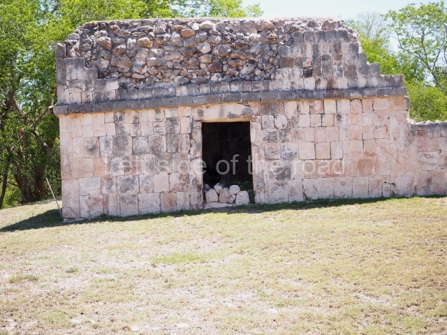
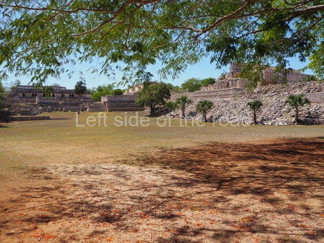
This is rated as a second-class city in the Atlas arqueologico del estado de Yucatan, although the authors state that the overall mass of formal structures appears to be greater at Kabah than at the neighbouring first-class city of Uxmal. In the archaeological literature, Uxmal is regarded as the capital of the regional political system on which other cities such as Kabah depended. Kabah stands out among the great urban centres in the north-western Puuc mountains due to its strategic location at the southern tip of the axis formed by the cities of Uxmal and Nohpat, with which it shared close kinship ties.

It is situated 120 km from Merida on the old ‘via ruinas’ Campeche road, 22 km from Uxmal, the most important archaeological centre in the Puuc region, and just 6 km from the town of Santa Elena, the ancient Nohcacab. Kabah lies at the south end of a sacbe that links it to Nohpat and Uxmal, and very probably to Oxkintok further north; situated to the south-east of Kabah are the cities of Sayil, Xlapak and Labna, and other minor sites such as Chetulich and Mulchic, the latter famous for its battle-scene mural painted in the mid-9th century and currently on display at the Canton de Merida Museum-Palace.

Kabah is located in a hilly area and it is common to find the residential groups of the settlement in these natural elevations; mainly, however, the city is covered by semi-evergreen seasonal forest. There is no surface water but the permeability of the soil has given rise to underground rivers, which meant that the ancient inhabitants must have had to go to deep caves to obtain water; they would also have stored rainwater in the natural depressions and in chultunes or cisterns, built in the shape of an inverted funnel, which collected water in the plazas.

By virtue of a state decree in 1993, Kabah became a protected natural area: in addition to safeguarding the historical and cultural merits of the site, this status ensures protection of the ecological conditions and promotes the social development of the town of Santa Elena.

Site description

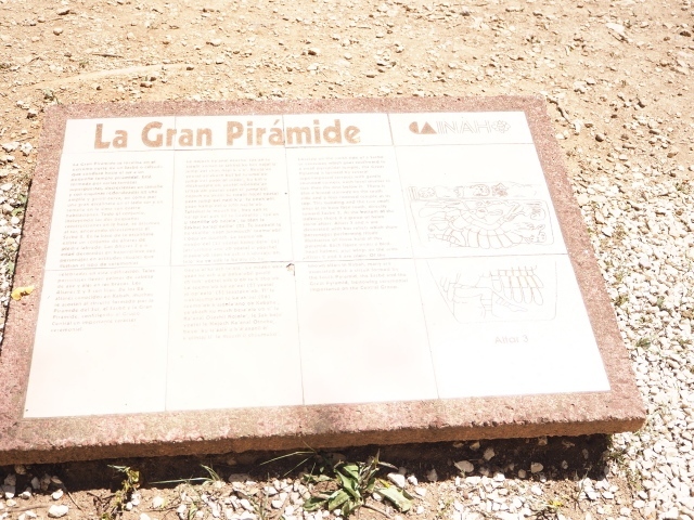
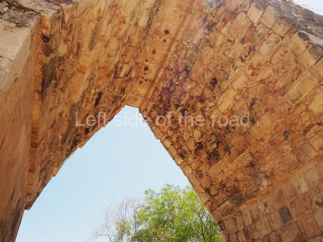
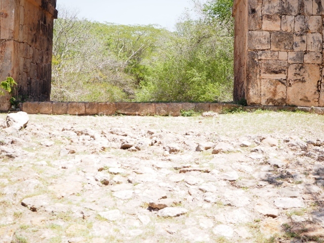
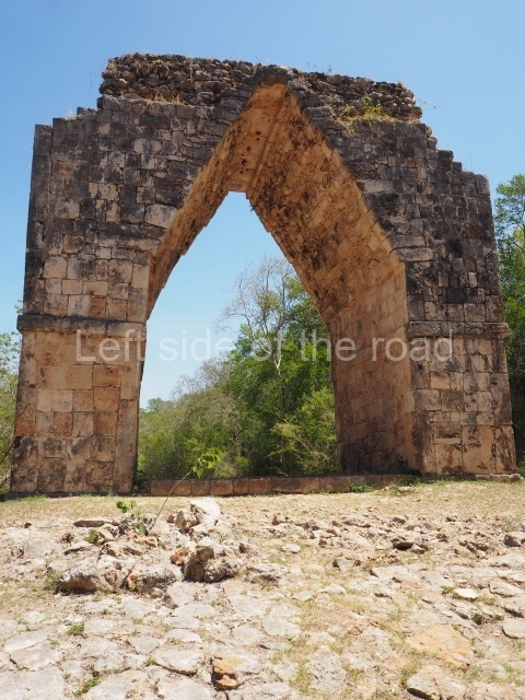
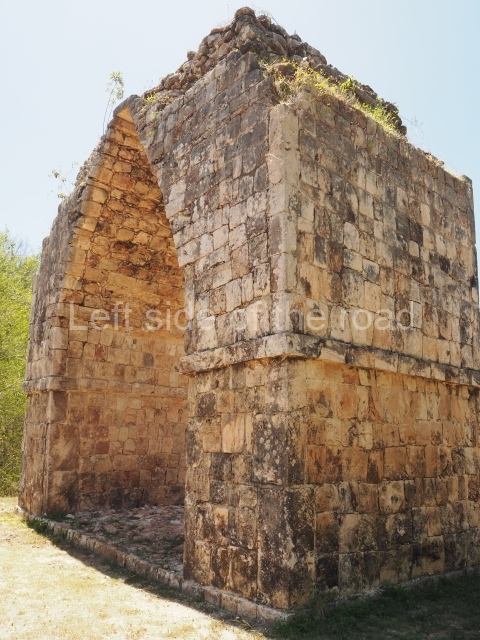
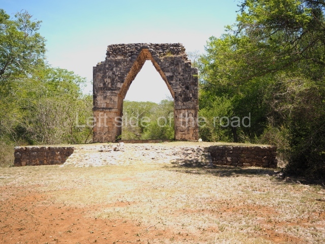
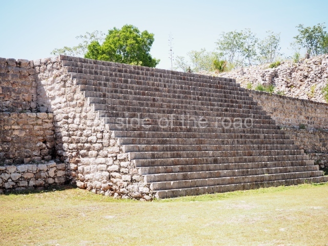
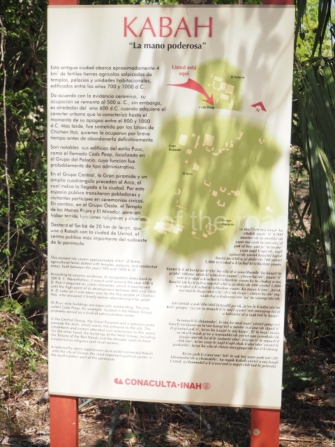
Kabah contains material evidence and works of architecture that clearly demonstrate the degree of complexity, in terms of social organisation, achieved by the Maya in the Puuc region. The most outstanding buildings at the site are the Codz Pop (also known as the Palace of Masks), the plazas of the Palace and the Temple of columns to the east, the Mirador and manos rojas groups to the west, and the Early group, the Great pyramid and its plaza, and the Arch providing access to the monumental area at the centre of the site; all of these display an extraordinary understanding of aesthetics in their architectural design as well as incorporating aspects typical of the different styles in the northern lowlands during the Classic era. Three large groups form the core area at Kabah. The Palace plaza is characteristic of the Puuc architecture developed between the 7th and 10th centuries AD, from the Early Puuc style of the Temple of the sun to the intermediate style visible in the vast Teocalli and finally the Palace, whose classical walls and friezes decorated with colonnettes and tiny drums define it as a prototype of Puuc architecture. But it is the palatial sanctuary of the codz pop that genuinely characterises Kabah. The most outstanding aspects of this building are its facades: the west facade, which has over 250 masks of Chac and is covered with carved, mosaic-like stones from the bottom of the walls to the cornice; and the east facade, nowadays partly restored, whose walls are decorated with extended mats, seven warriors or heroes on the frieze of the three central rooms, and exquisitely sculpted jambstones flanking the main entrance, which display the latest date in the north of the peninsula (AD 987), scenes of a ritual dance and the capture and death of an important figure. Situated some 600 m from the Mirador, the Codz Pop is a monumental single-storey construction with a variable two bays and an architectural plan in the shape of the letter T or IK.

The building measures 54 m on its west facade, 24.5 m in depth and 46 m on its east side. The west wing is composed of two longitudinal bays, each of which contains five rooms. The east wing has just one bay and contains nine rooms; in the north and south wings there are an additional four chambers distributed between three simple bays on each side. The access is either via the south-west corner of the group, which during the latter days of the city’s occupation was sealed by another structure, or via the Teocalli stairways.

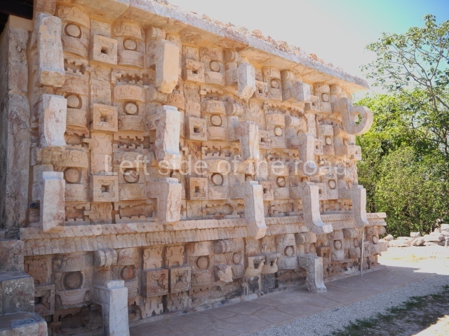
Further west, the Codz Pop platform displays a steep stairway that climbs to the esplanade or plaza where the hieroglyphic altar and chultun are located, the latter opposite the steps leading to the mask facade. George Andrews defines the Codz Pop as belonging to the Mosaic style, based on the west or mask facade, the only one visible when he made his evaluation. Due to both its construction and decorative characteristics, the Codz Pop is a highly unique building and an example of a new variety of the Mosaic style, which implies the development of an autochthonous sculptural form in the Puuc region during the latter years of the Terminal Classic. In terms of their theme, the motifs on the frieze may bear some relation to Temple V or the Pyramid of the Magician at Uxmal: both the conglomeration of Chacs and the sculpted bundle figures are unique elements in this architectural style, which we might call Late Puuc. As the finishing touch to its aesthetics, incomparable with anything else in Maya architecture, the Codz Pop is crowned by a slender tripartite roof comb in which the middle section displays enormous stepped frets; standing over 2 m high, it establishes a dialogue with the roof comb of the Palace in the adjacent plaza. At dawn, the shafts of light filtering through the pilasters and frets of these roof combs are a common sight, cutting through the morning mist beyond the platforms on which these two emblematic constructions stand.

Another notable feature of this site is the hieroglyphic altar in the west plaza of the Codz Pop, which constitutes one of the longest inscriptions in the northern lowlands and whose blocks, currently in disarray, await decipherment to shed further light on the rulers and the history of the site and region. Finally, mention must be made of the chultunes, one in the Palace plaza and the other opposite the mask facade of the Codz Pop; the latter is one of the largest in the Puuc region and to this day it guarantees the supply of water to the site. Situated south of the Codz Pop there is also an aguada or natural depression.

Importance and relations

Kabah, ‘the hand that carves’ or ‘the one below’ (kabal), is distinguished by its strategic location, long occupation sequence and the quality of the carved stones that embellish and lend such great significance to its constructions. At Kabah it is possible to observe an architectural and sculptural development that contains examples of most of the Puuc styles, demonstrating the dynamic evolution of these Yucatec Maya groups. There is also a fringe area with groups of buildings that range from large levelled sections with vaulted structures and spaces such as plazas, to simple platforms with the remains of what must have been dwellings made of perishable materials. Like most Puuc sites, Kabah is a scattered settlement, a layout dictated by the ecological and topographical characteristics of the small valley in which it is situated.

The earliest evidence of the settlement dates back to the Middle Preclassic (600-300 BC), a period about which little is known in this region but which nevertheless laid the foundations for what, towards the Terminal Classic (AD 950-1050), would become Kabah. When you contemplate the ancient city, climb up and down the stairways in front of the palaces, sneak a look inside the endless vaulted rooms with benches, or examine the reliefs on the facades of the constructions, which resemble monumental sculptures rather than buildings, it is easy to imagine the complex daily life of the ancient inhabitants and the process of abstraction they manifested in designing their spaces.

Josep Ligorred i Perramon

From: ‘The Maya: an architectural and landscape guide’, produced jointly by the Junta de Andulacia and the Universidad Autonoma de Mexico, 2010, pp372-374.

Kabah

Kabah

  1. Palace; 2. Teocalli; 3. Codz Pop; 4. Quadrangle; 5. Great Pyramid; 6. Arch; 7. Sacbe; 8. Early Group; 9. Manos Rojos Group; 10. Mirador Group.

Getting there:

Kabah is located alongside the road that joins Hopelchén and Muna, also passing the major site of Uxmal. Regular buses run along this route but the timings can be crucial if you wish to visit the two sites on the same day. There is a written timetable displayed in the Sur ‘bus station’ in Hopelchén.

GPS:

20d 15′ 13″ N

89d 39′ 19″ W

Entrance:

M$75

More on the Maya