Altun Ha – Belize

Altun Ha

Altun Ha

More on the Maya

Altun Ha – Belize

Location

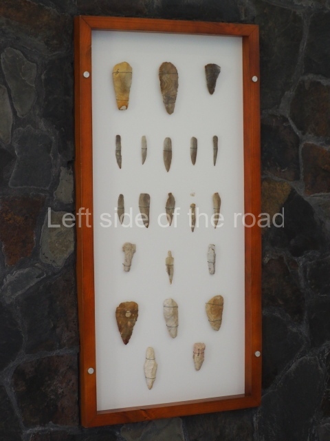
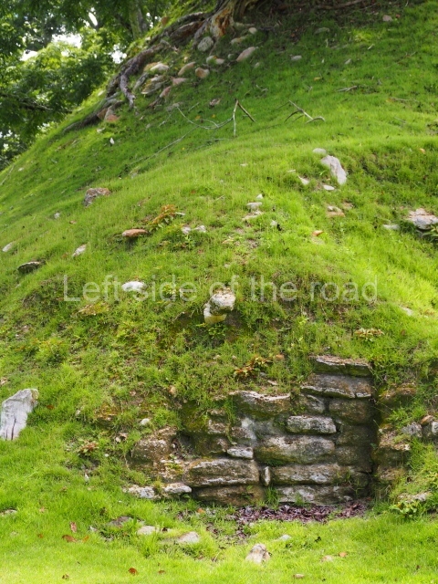
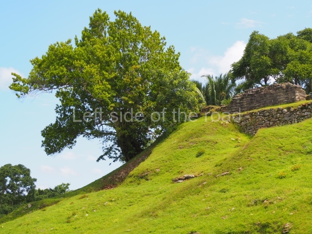
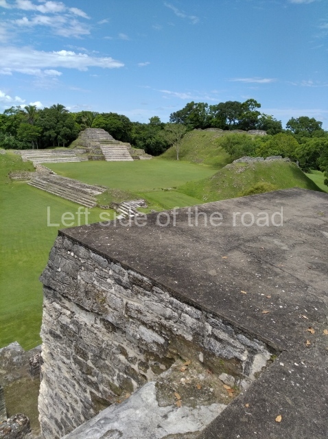
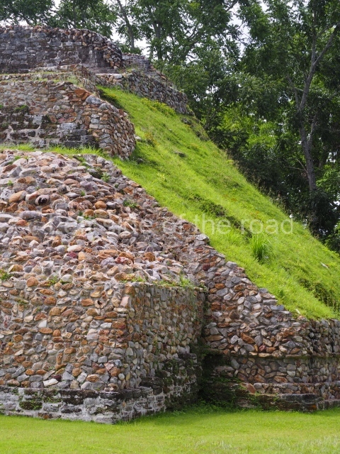
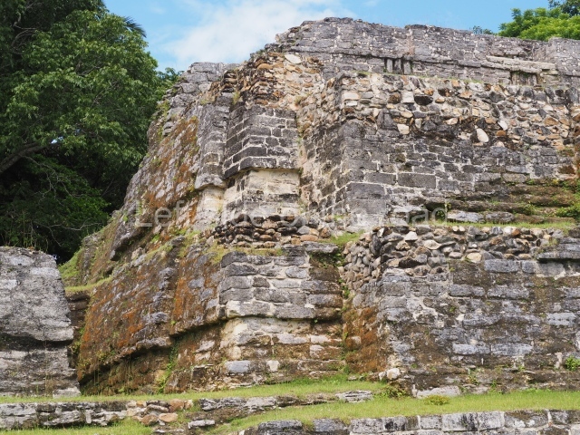
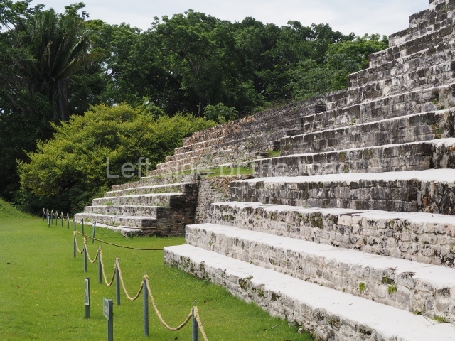
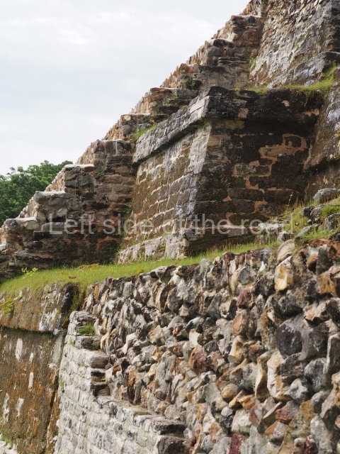
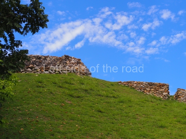
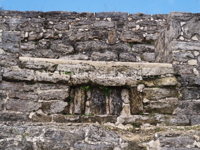
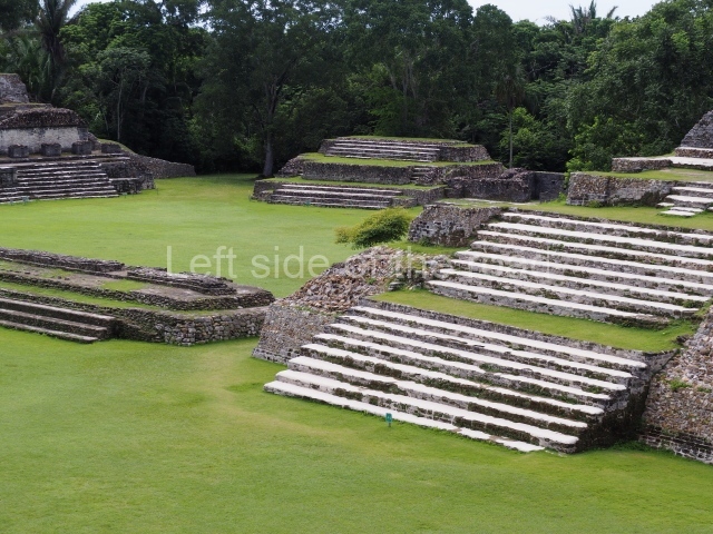
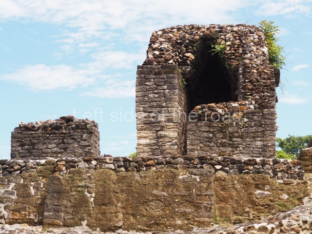
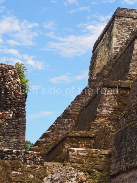
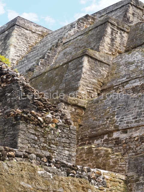
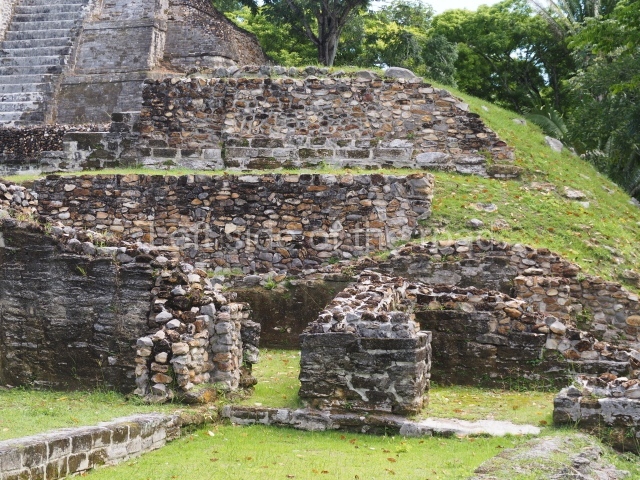
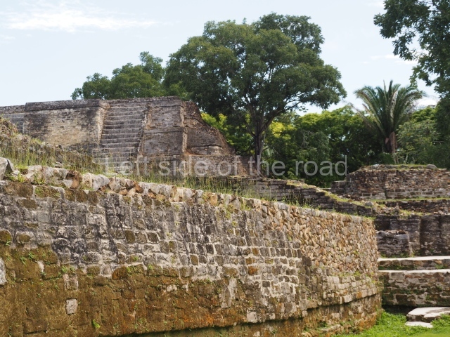
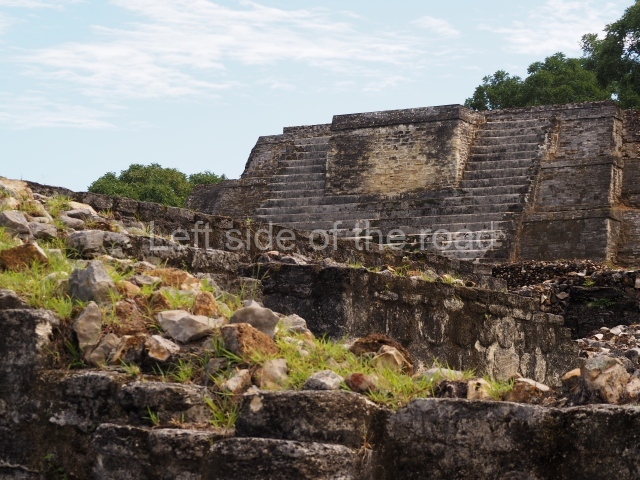
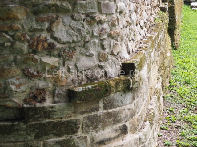
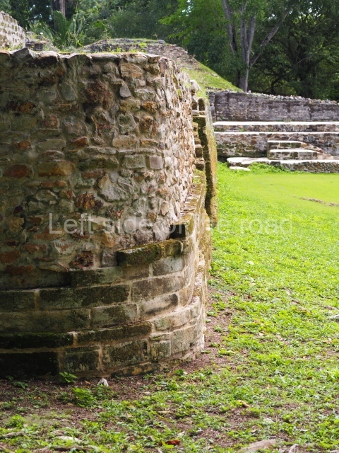
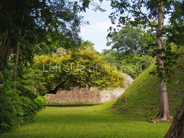
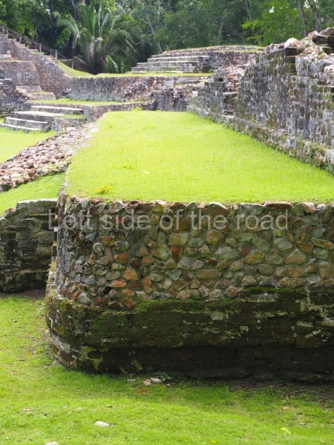
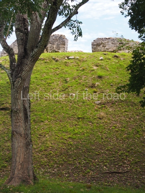
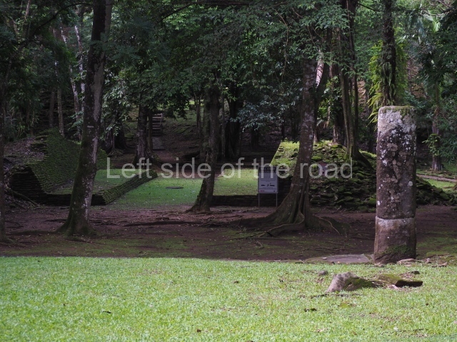
The original name of the site is not known. Altun Ha is the name of a nearby village, which in Yucatec Maya means [stone pond or lagoon). Due to its proximity to Belize City, this is one of the most visited sites. It covers an area of nearly 6 sq km and has over 500 visible structures, although the part that has been restored and is open to the public is relatively small. The constructions in the ceremonial precinct correspond mainly to the Classic period. During the excavations various unusual objects were found, corroborating the hypothesis that the site was an important link between the maritime trade routes and the inland: flint eccentrics, fine imported ceramics and the largest piece of jade ever found in the Maya area – an anthropomorphic head representing K’inich Ahau. This comes from Tomb B4/7 (2nd. A). The site is an hour by car from Belize City, taking the Northern Highway; when you reach mile marker 33, turn east and continue along the Old Northern Highway, where the signposts will lead you to the site. There is a car park, a visitor centre, and shops selling local handicrafts and food.

History of the explorations

In 1957 Altun Ha was recognised as an archaeological site by A. H. Anderson, the then archaeology commissioner in Belize, who conducted the first excavations. In 1961 William R. Bullard studied some of the materials. Between 1964 and 1970, David Pendergast of the Royal Ontario Museum carried out extensive excavations. Joseph O. Palacio began restoration work at the site in 1971 and continued until 1976. In 1978 Elizabeth Graham also conducted a series of restoration works. Between 2002 and 2003, as part of the Tourism Development Project supervised by Jaime Awe, Juan Luis Bonor and Doug Weinbury, the structures in central part of the site were restored and opened to the public.

Pre-Hispanic history

The earliest evidence of a settlement on the site dates from 200 BC. The oldest permanent construction is situated west of the central area and is not open to the public. Structure F8, known as the Reservoir Temple, is situated less than a kilometre south of Plaza B. An offering was discovered there, containing green obsidian eccentrics and blades from central Mexico, along with other imported objects not normally found in this part of the Maya area. The green obsidian may well have come from contact with Teotihuacan. The earliest building in the central precinct is Structure Al, built around 100 BC. It adopts the form of a temple and is close to the main reservoir. Subsequently, in the Early Classic (circa AD 250), building activity was concentrated in the part now open to the public. This remained the most important precinct at the site until the Late Classic.

Site description

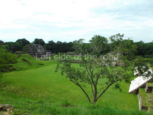
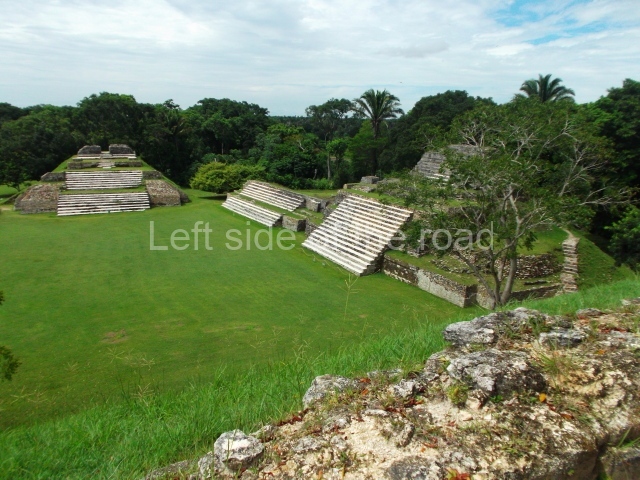
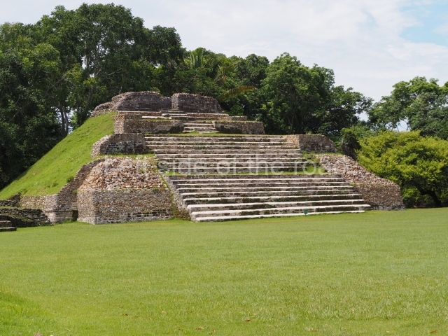
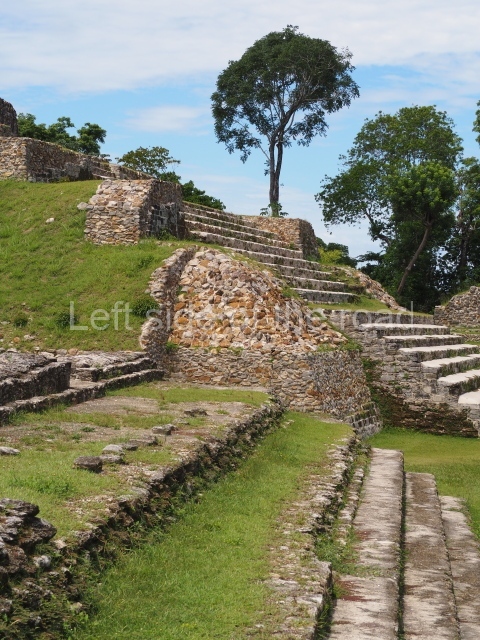
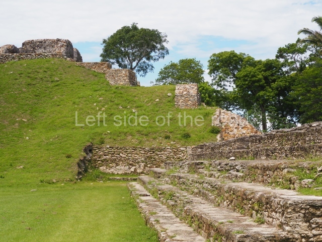
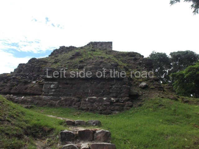
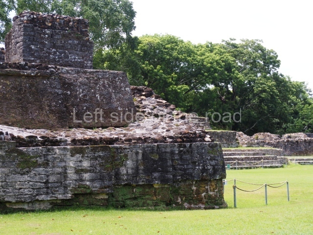
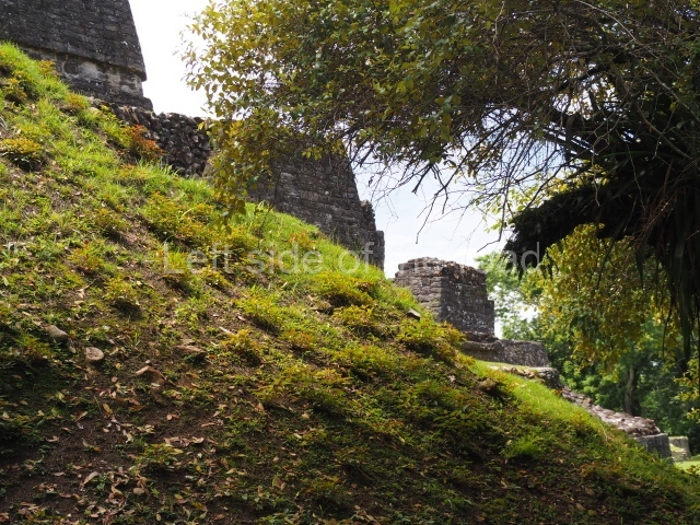
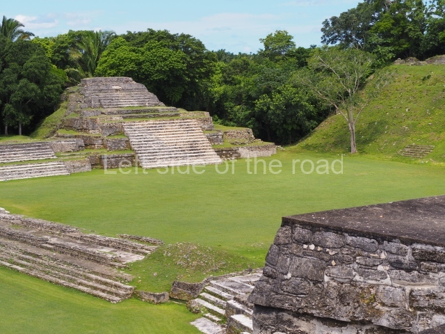
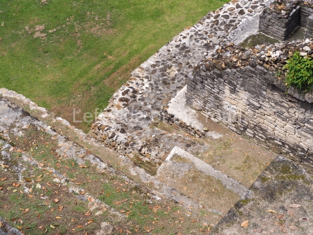
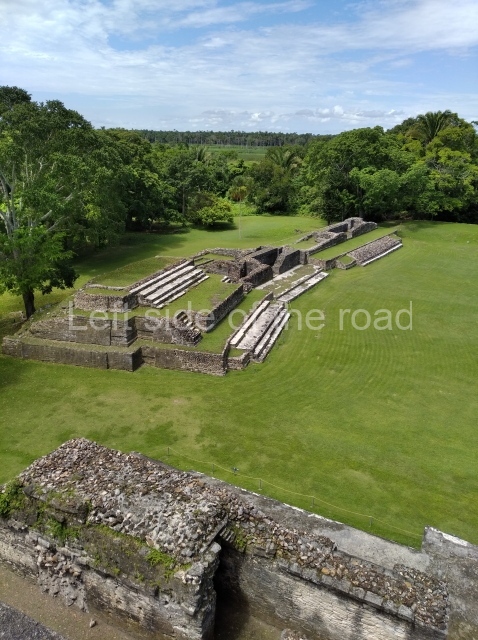
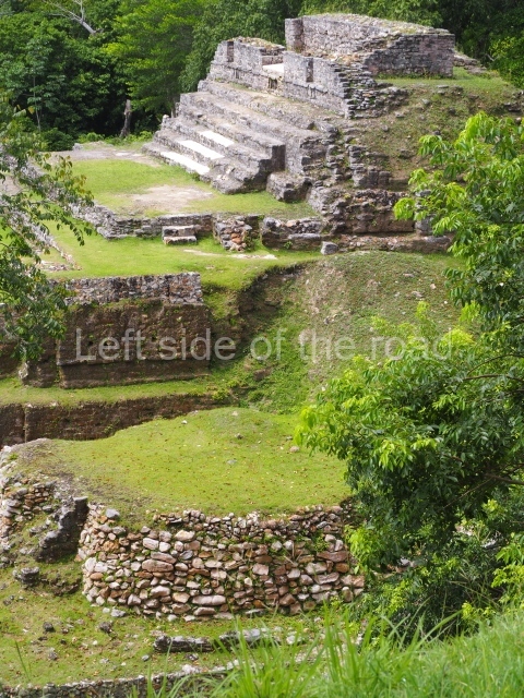
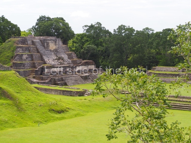
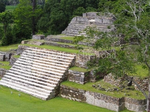
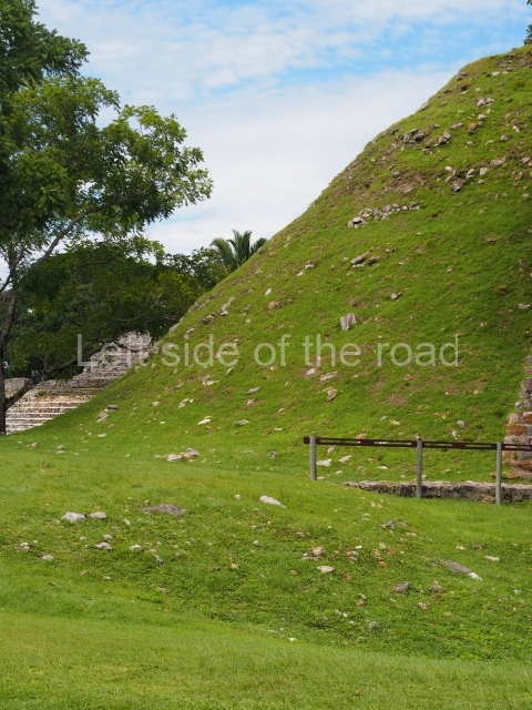
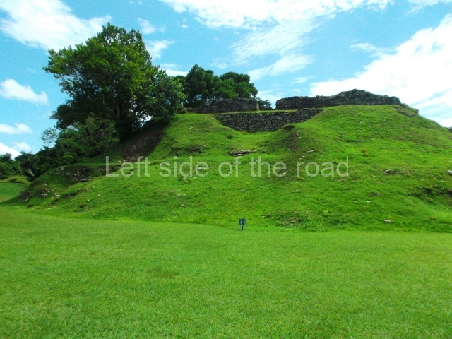
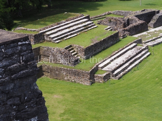
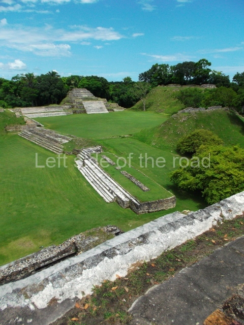
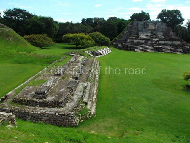
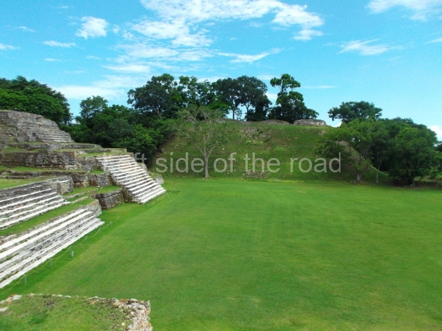
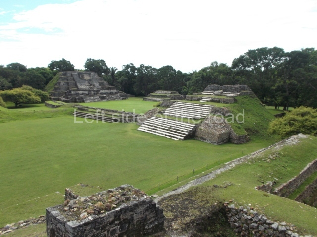
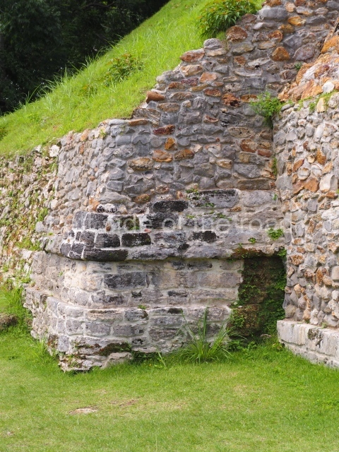
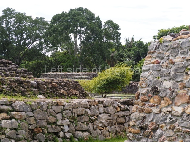
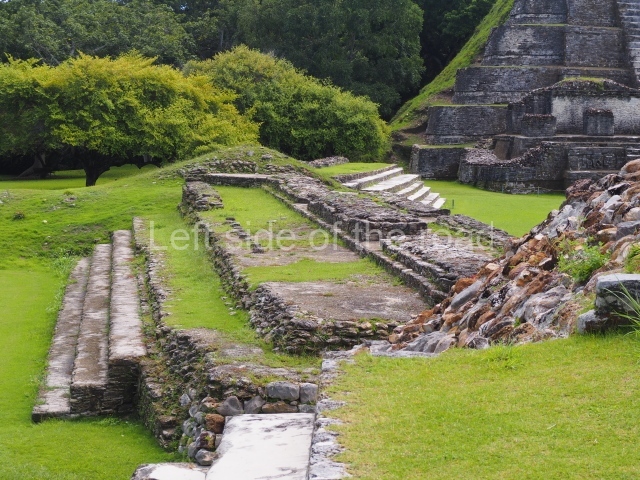
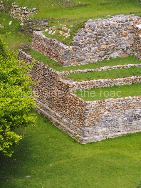
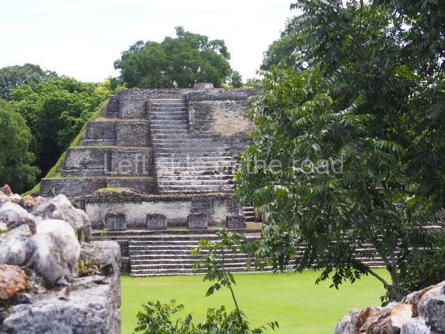
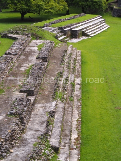
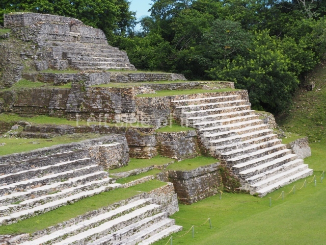
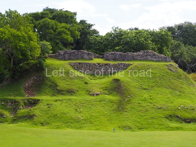
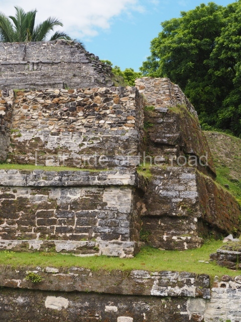
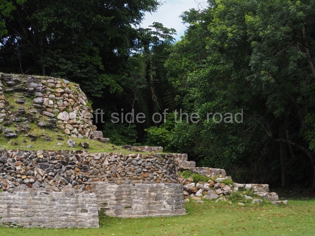
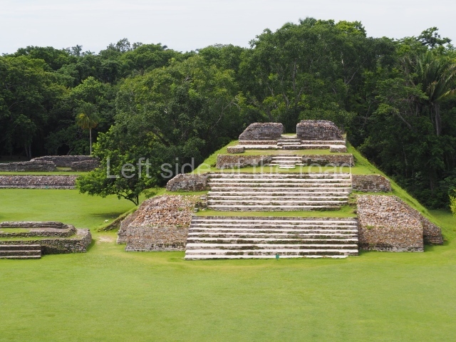
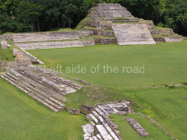
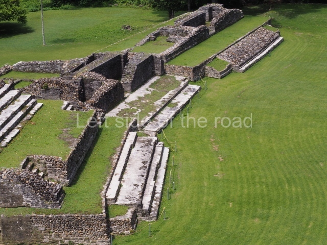
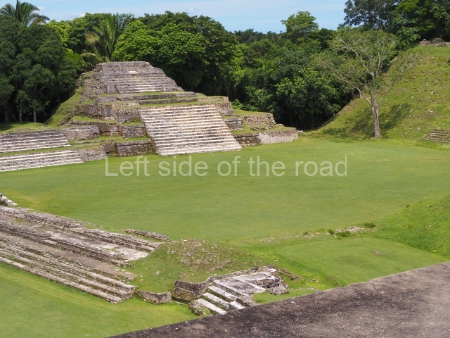
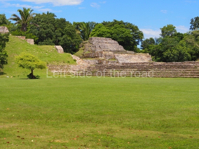
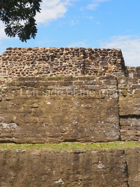
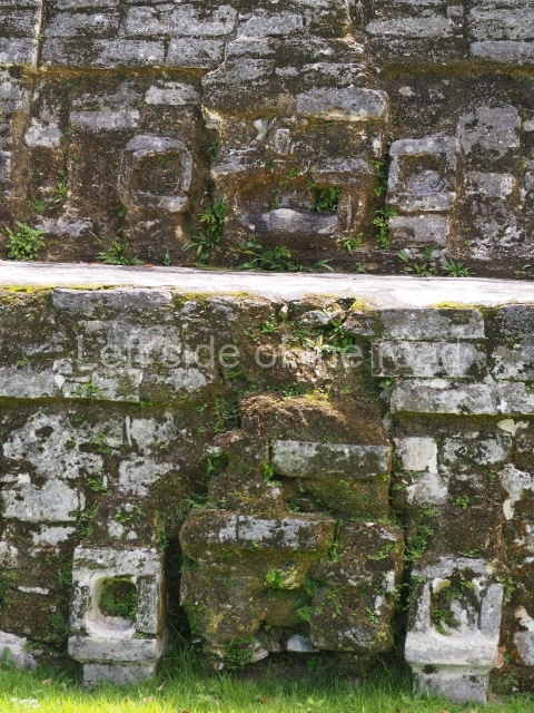
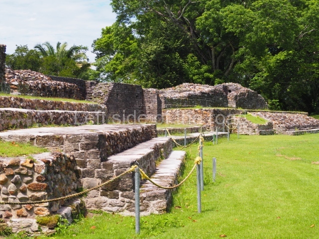
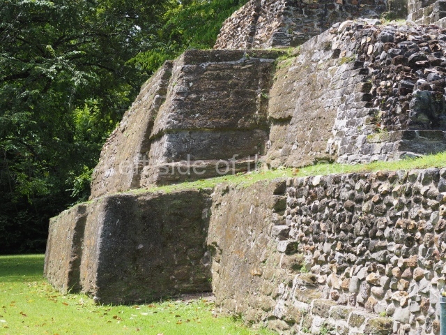
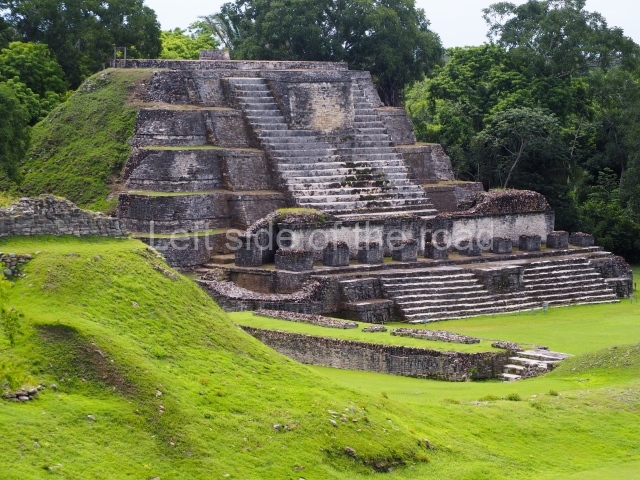
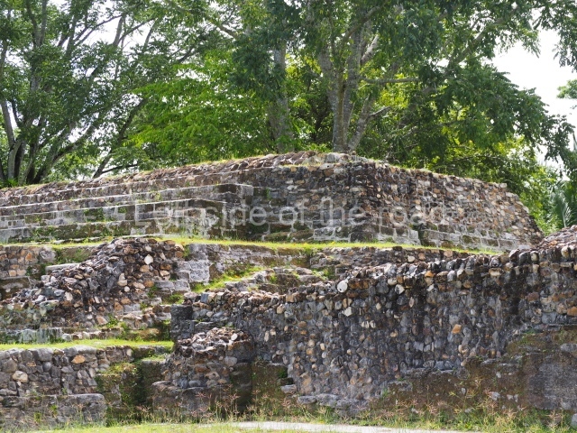
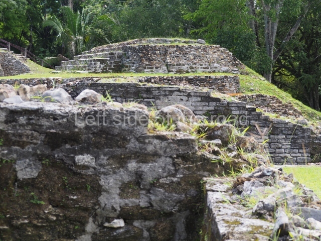
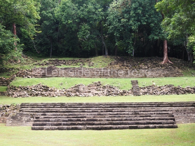
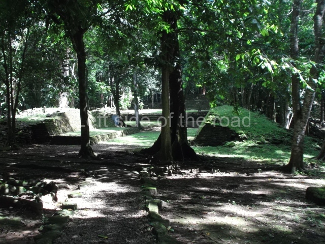
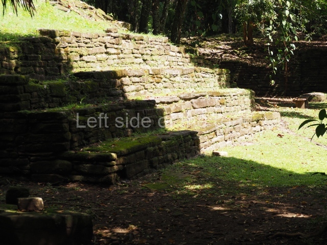
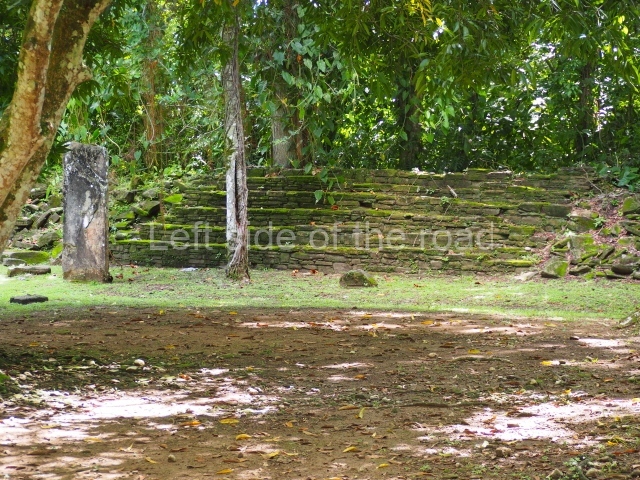
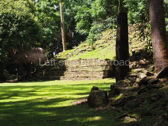
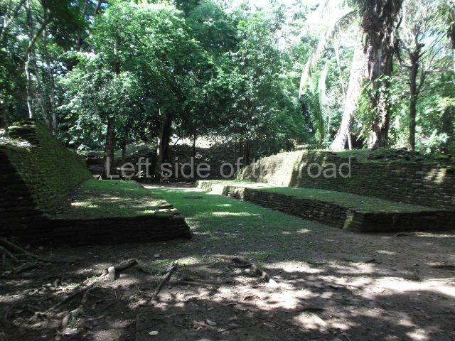
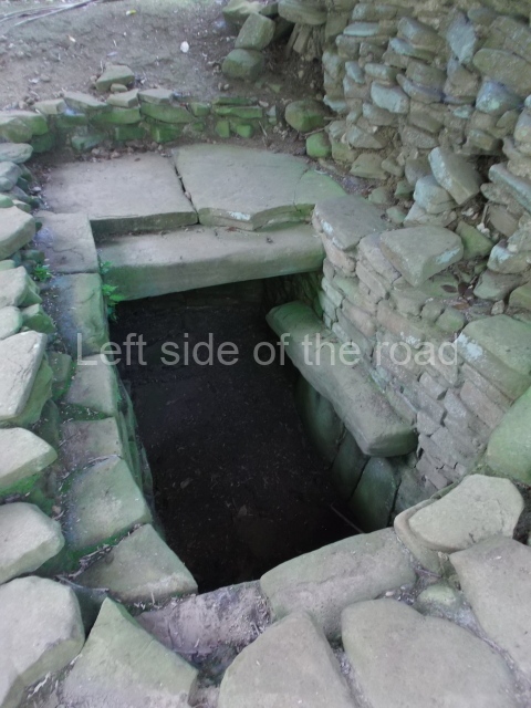
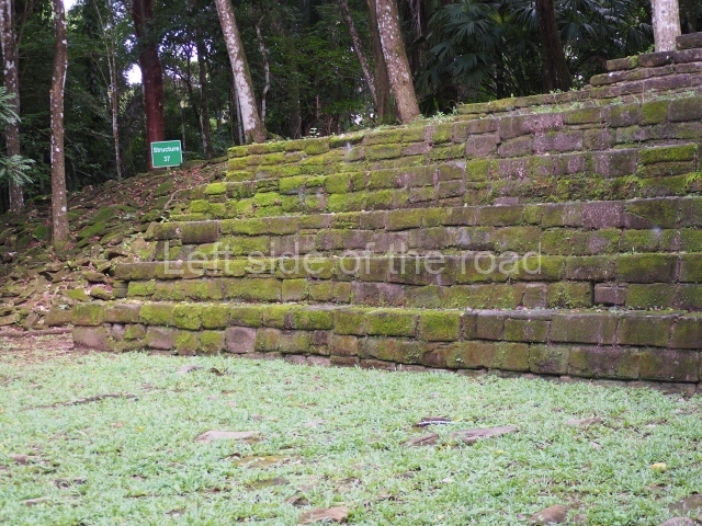
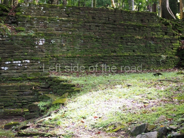
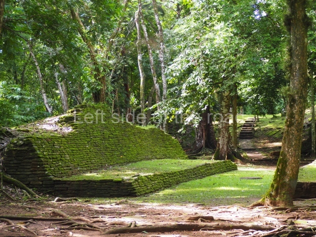
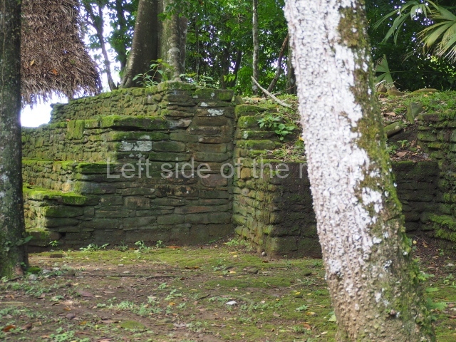
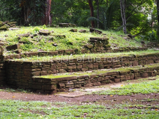
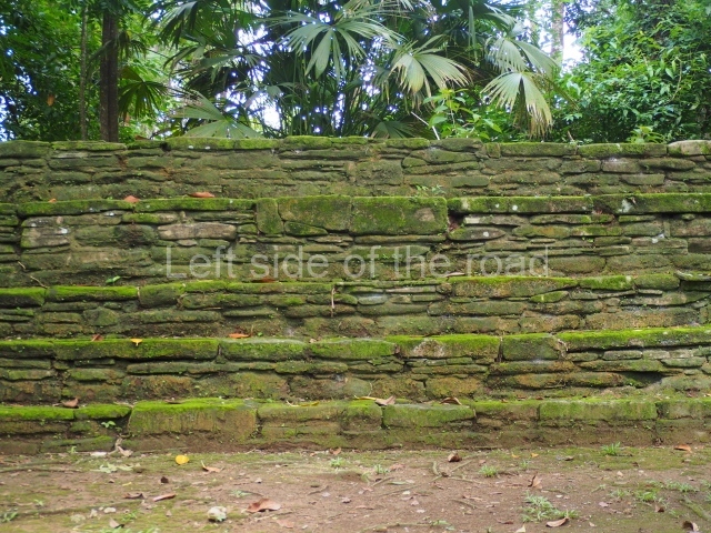
Plaza A, in the northern section of the site, was the principal ceremonial precinct until the end of the Early Classic (circa AD 550), when the construction of Plaza B commenced, immediately south of the former. Buildings continued to be erected until AD 900 and the site was occupied for a further 100 years, although no new construction took place. In fact, a century and a half prior to the end of the building activity, the existing constructions were already decaying. Subsequently, the city was abandoned and then reoccupied in the 13th and 14th centuries. Plaza A is the largest, although no monuments or stelae were found in front of the buildings, Temple 1 displays various construction phases and its final form consists of a platform with terraces, built between the 5th and 6th centuries. Slight modifications were conducted during the course of the following centuries. The building originally comprised several rooms in the upper section and a broad stairway that reached almost to the top of the structure. A tomb was found inside the temple; dating from approximately AD 550, it is the oldest in the central precinct. It takes its name, Green Tomb, from the fact that it contained over 300 jade objects, as well as shell necklaces and ornaments, stingray spines, ceramic vessels, flint eccentrics and perishable materials such as animal skins, cloth, wooden objects and what are thought to be the remains of a bark paper codex, whose fragility and fragmented condition have prevented it from being reassembled.

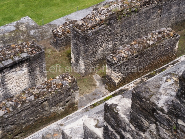
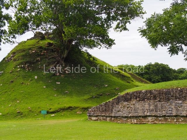
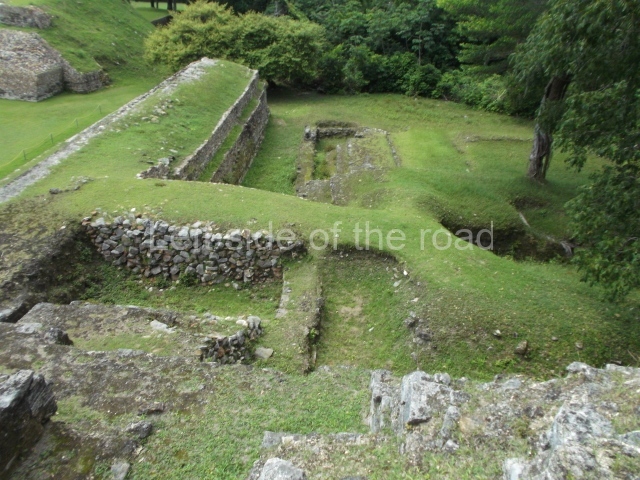
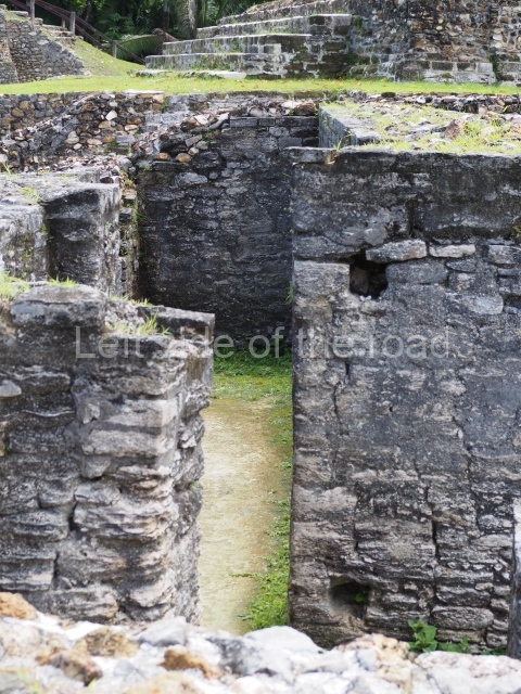
Structure A2, a platform with rooms at the top, and Structure A8, a residence, are nowadays connected, although in their earliest construction phases they were separate buildings, structure A3 is the smallest temple in Plaza A. Meanwhile, structure A4 situated in the south-east section of Plaza A appears to have been a long, narrow platform with no buildings on the top, and it may well have served to delimit Plazas A and B. Plaza B is composed of various residential constructions and large temples. A group of three buildings (B3, B5 and B6) forms the south boundary: originally, these were separate structures but they were subsequently connected during the final construction phase.

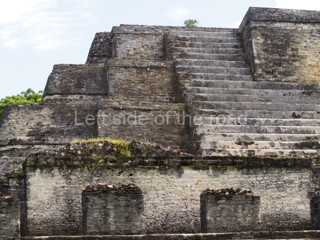
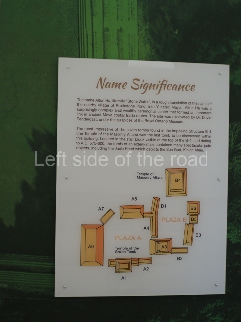
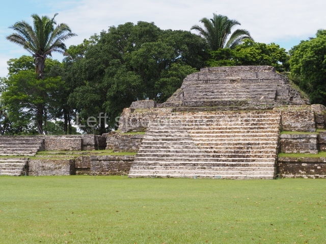
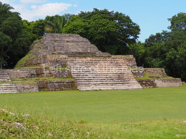
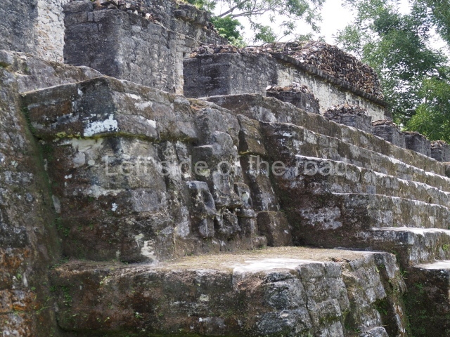
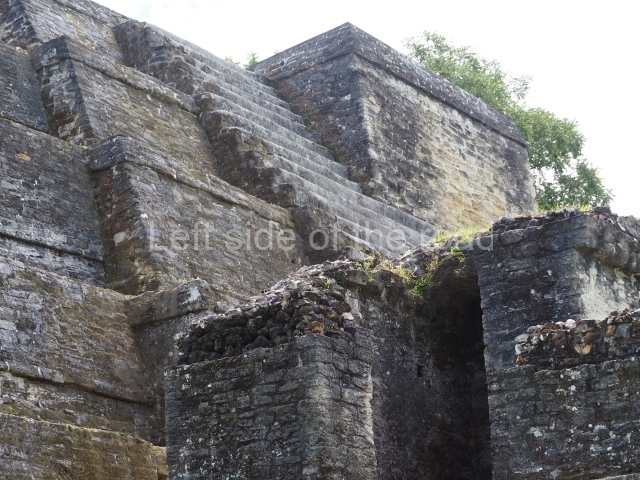
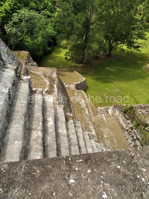
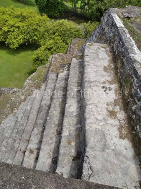
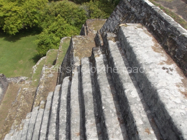
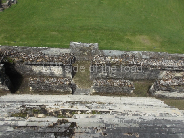
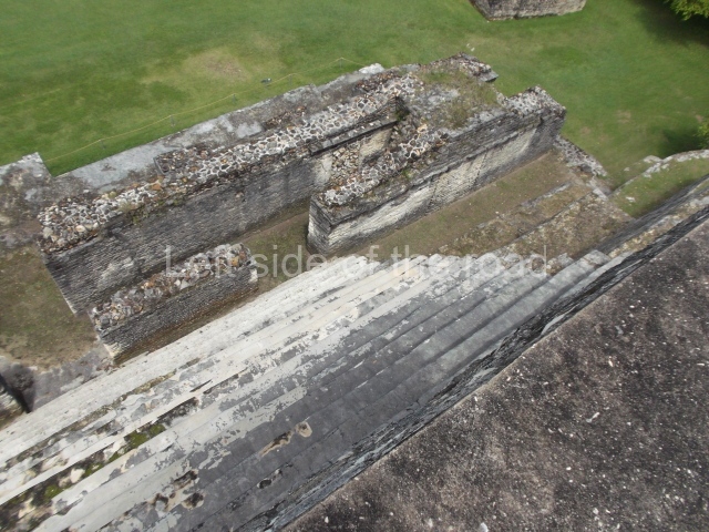
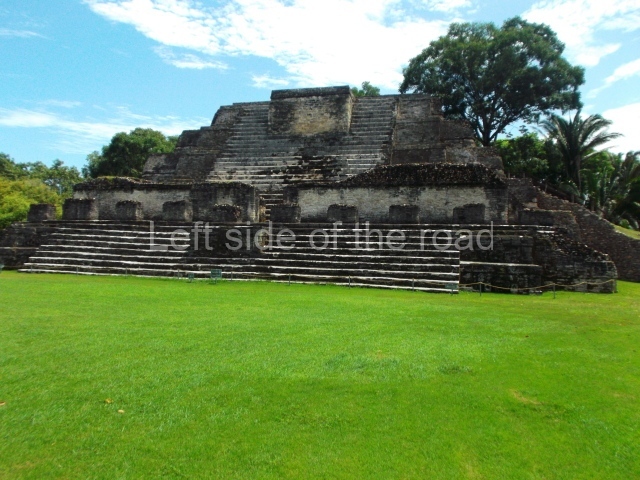
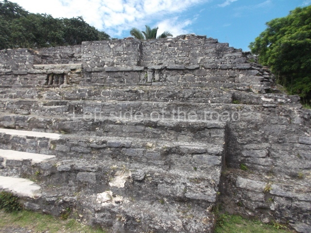
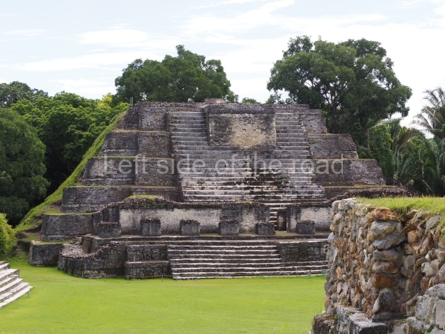
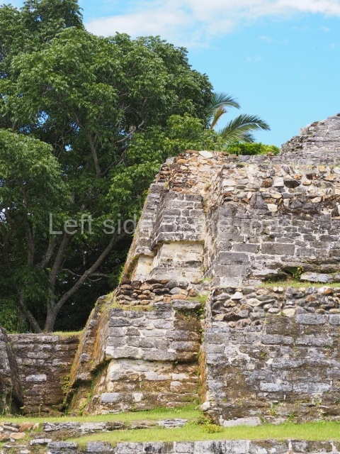
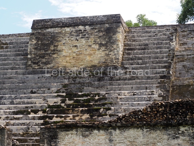
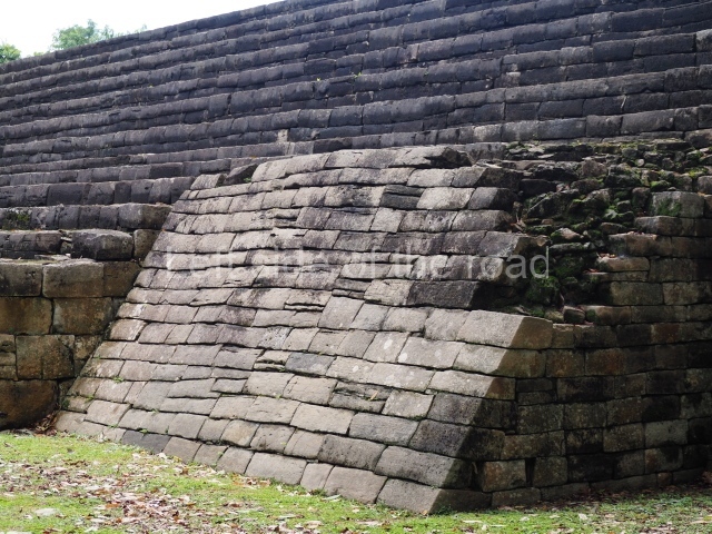
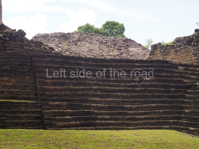
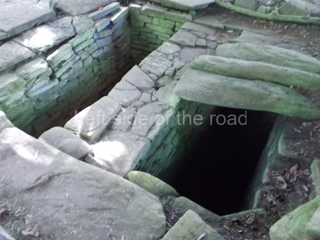
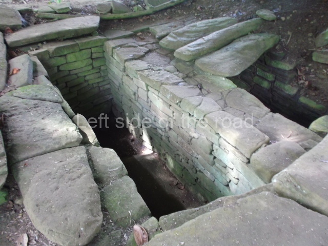
Structure B4 is the most imposing building on the site and is known as the ‘Temple of the Masonry Altars’. It displays eight construction phases and stands nearly 18 m above the plaza. Seven tombs belonging to the Altun Ha elite were found inside this structure. The most impressive of them was discovered inside the rectangular block at the top of the building: Tomb B4/7 (2nd. A), which corresponds to the end of the Early Classic (AD 575-600). The remains of an elderly male were found in the tomb and the grave goods contained spectacular jade objects, including the head of the sun god, K’inich Ahau. This corresponds to the Mac phase (circa AD 600); it is 14.9 cm high and weighs nearly four and a half kilos. A variety of perishable materials were also found, such as ropes, clothing and wooden objects that do not normally survive in the Maya lowlands due to the damp climate.

From: ‘The Maya: an architectural and landscape guide’, produced jointly by the Junta de Andulacia and the Universidad Autonoma de Mexico, 2010, p273, pp276-277.

Altun Ha

Altun Ha

  1. Plaza A; 2. Temple A1; 3. Structure A2; 4.Structure A3; 5. Structure A4; 6. Structure A5; 7. Structure A6; 8. Plaza B; 9. Structure B1; 10. Structure B2; 11. Struture B3; 12. Structure B4; 13. Structure B 6; 14. Structure B5.

Getting there:

From Belize City. There is a bus from Belize City whose final destination is Maskall and which passes the end of the approach road to the site – about a 2 mile walk. However, I have not been able to find any timetable for that bus – or whether it is possible to make the trip and back in a day. There was a bus which would have left Belize City at around 12.00 but that is not guaranteed. Otherwise, you could catch a bus to Sand Hill and get off at the junction of the Old Northern Highway. This is the road that goes within 2 miles of Altun Ha. There you either hitch or negotiate the cost of the lift. It’s all a matter of chance and luck whether you either get or lift or have to pay or not.

GPS:

17d 45′ 27″ N

88d 21′ 23″ W

Entrance:

B$10

More on the Maya

Lubaantun – Belize

Lubaantun

Lubaantun

More on the Maya

Lubaantun – Belize

Location

The ruins of this regional capital were found some 40 km from the coast, on a mountain top in the valley of the River Columbia, situated 500 m from the settlement. Various streams flow past the foot of the natural elevation and an area of tropical rainforest extends below the site. On the banks of the Columbia sits the village of San Pedro Columbia, one of the largest Maya communities in southern Belize. The Kekchi women in the region make brightly-coloured embroideries of the local wildlife, as well as other handicrafts for tourists. It has a small museum and basic rest rooms for visitors.

History of the explorations

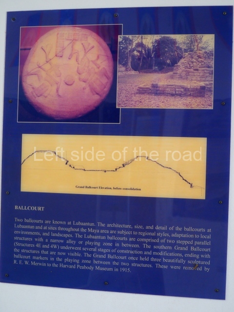
The Lubaantun site was reported in 1903 and Thomas Gann, a doctor and archaeology enthusiast, was commissioned to inspect the settlement. Gann excavated the larger constructions and his report was published in England in 1904. Later on, R E Merwin surveyed the civic-ceremonial area and drew up the first map. In his excavation of the South Ball Court, he found three cylindrical markers, the upper sections of which show two figures playing the ball game; in 1915 these were transferred to the Peabody Museum at Harvard University. In 1926 the British Museum sent an expedition led by T A Joyce which was joined the following year by Eric S J Thompson, who identified several building phases in the constructions. In 1970 Norman Hammond embarked on excavations which concluded that the site was founded around the 8th century by a Cholan-speaking group – possibly the language that was spoken in the Lacandona Rainforest in Chiapas and the Peten region of Guatemala – who colonised the region to exploit the fertile land and abundant resources.

Nevertheless, their occupation of the area was short-lived – barely 150 years – as the site was abandoned around AD 890. Finally, Richard Leventhal of the State University of New York included Lubaantun in his general survey of the region aimed at establishing the type of relationship that existed between the various settlements in the Toledo district in southern Belize. A rock crystal skull was found at Lubaantun by F A Mitchell-Hedges in 1926 and is currently in the possession of his daughter Anna, who lives in Kitchener, Ontario, Canada. To this day there are conflicting opinions about the authenticity of the Lubaantun crystal rock skull.

Site description

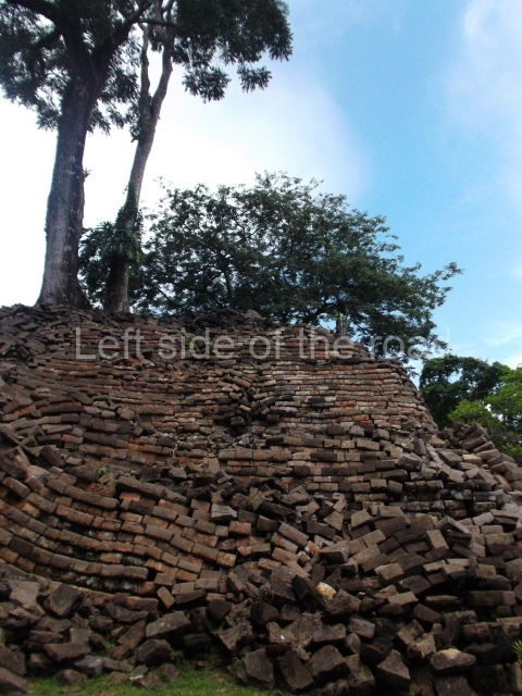
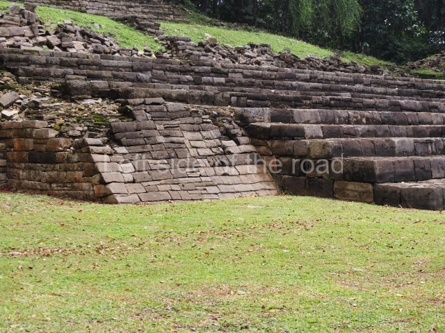
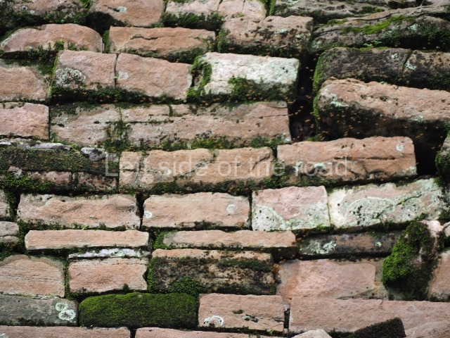
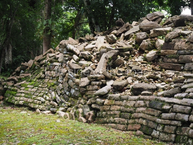
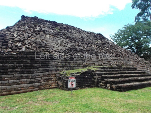
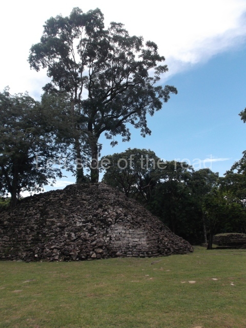
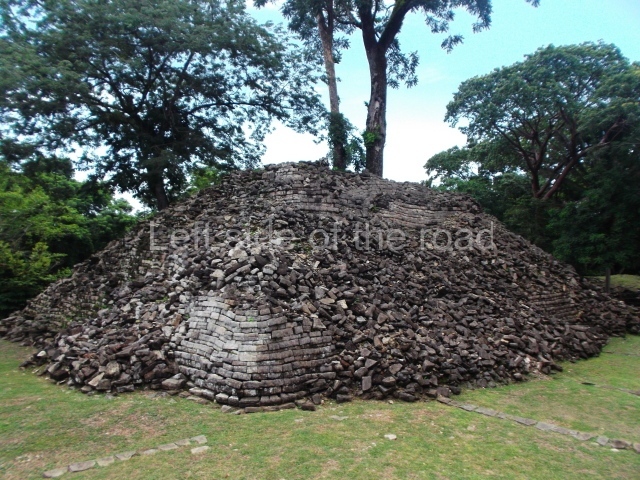
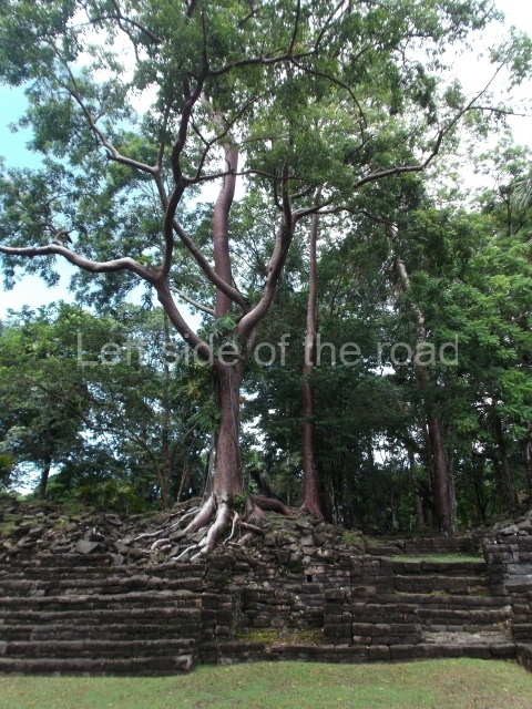
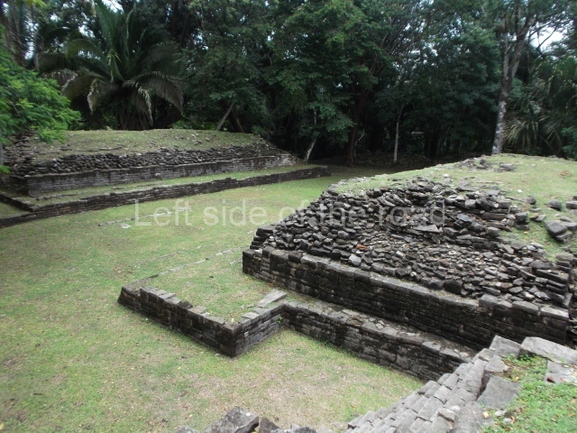
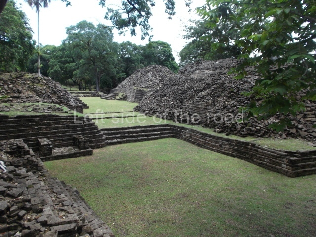
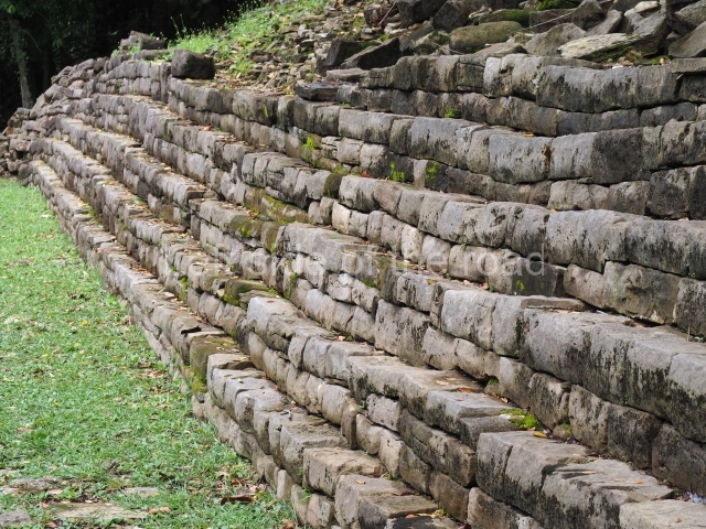
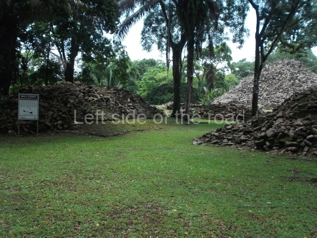
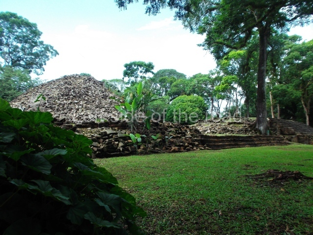
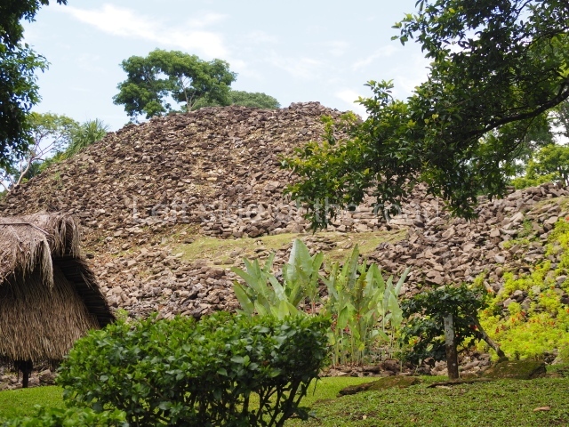
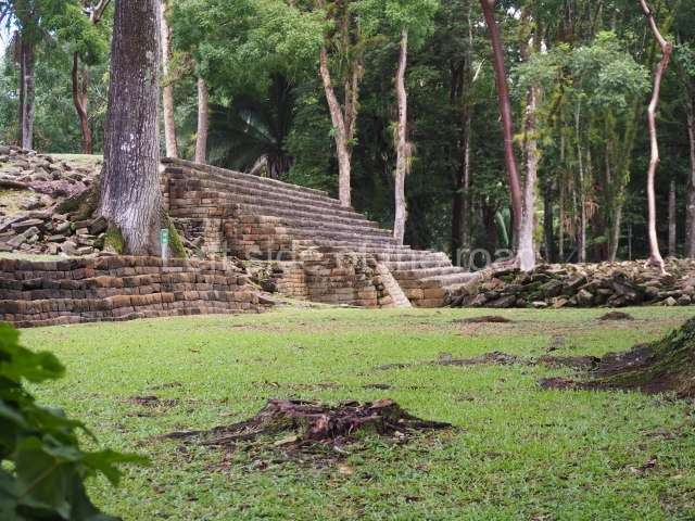
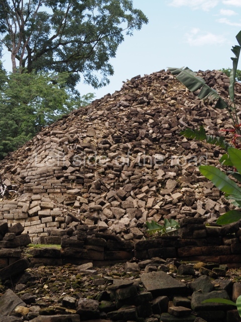
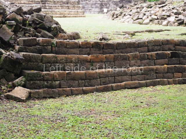
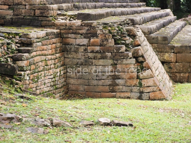
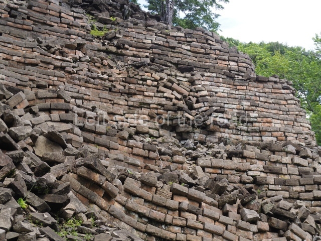
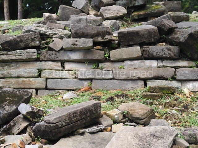
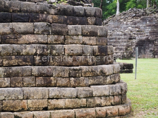
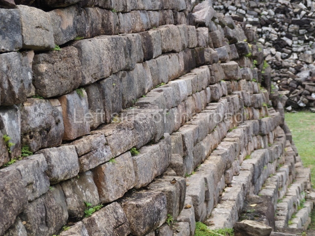
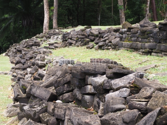
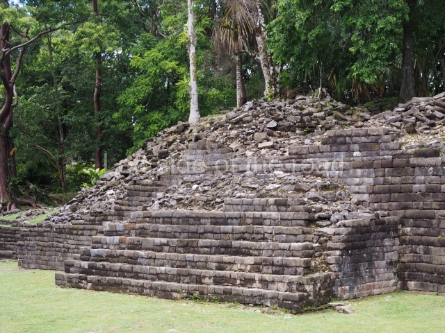
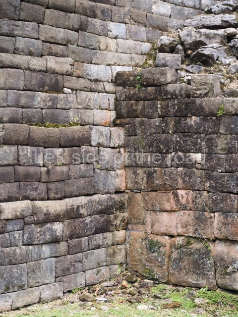
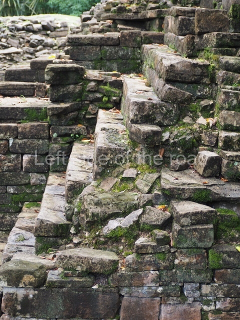
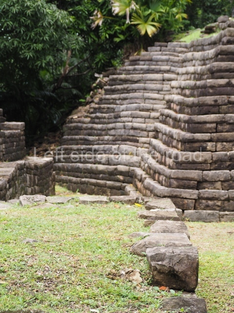
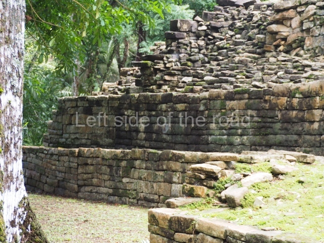
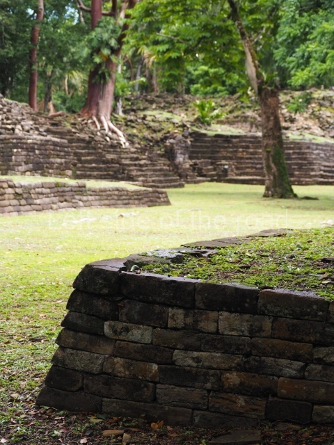
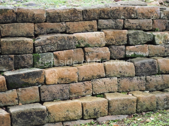
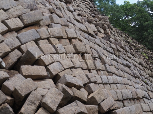
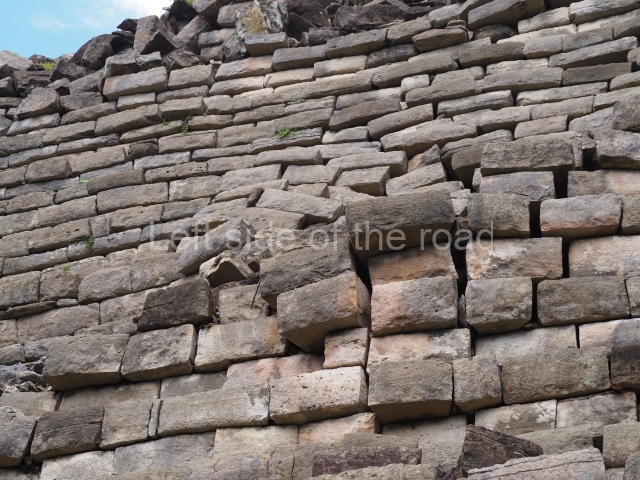
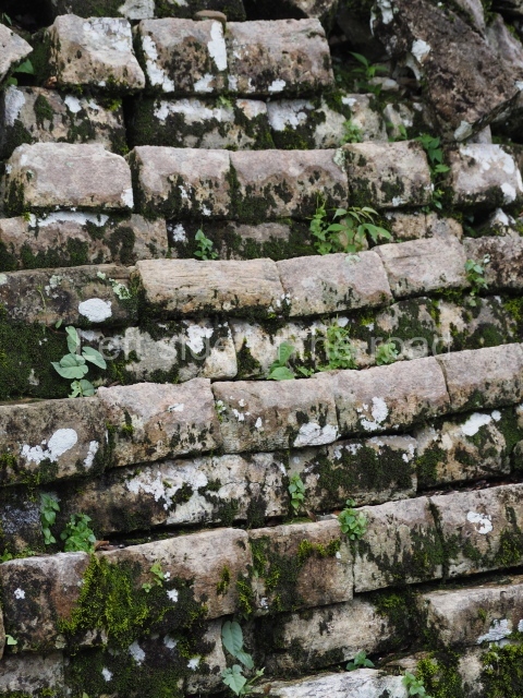
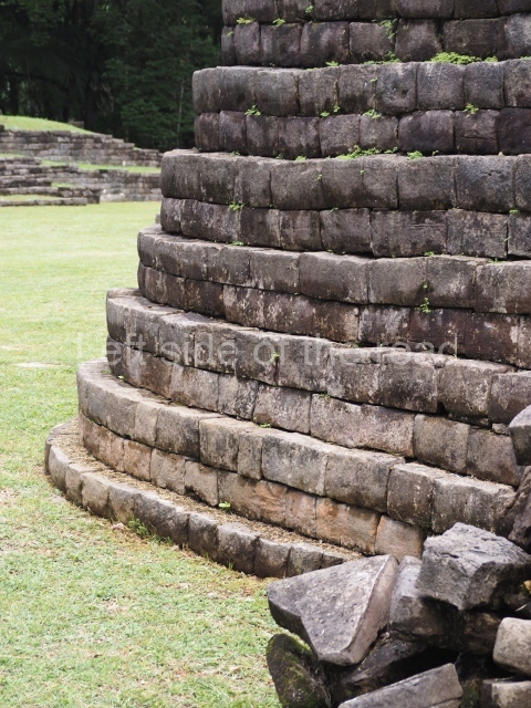
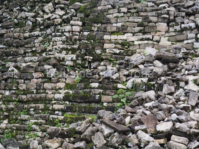
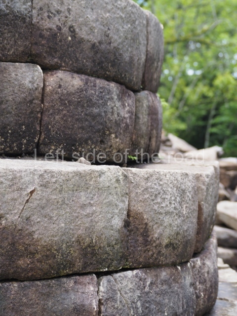
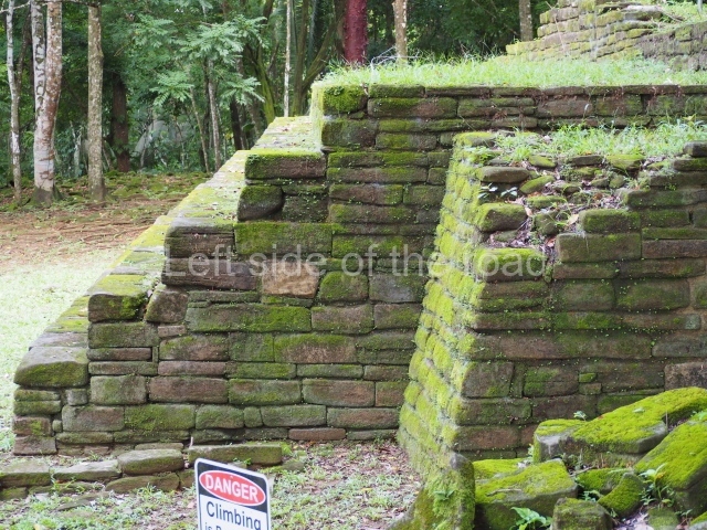
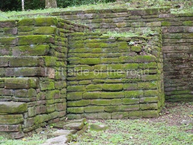
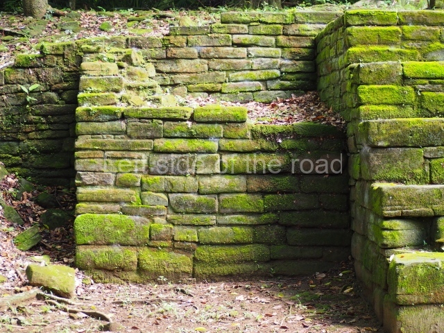
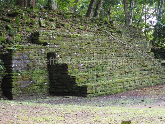
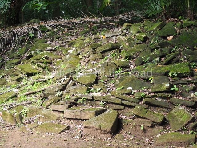
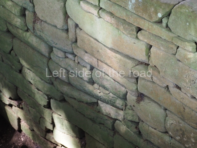
There are two unusual aspects of the Lubaantun site: it lacks the architectural decoration that is so profuse at other ruins in the central lowlands, and there are hardly any stone-carved monuments or Maya vaults. The name Lubaantun translates as ‘Place of Fallen Stones’ in the local Maya language. The site is a civic ceremonial centre from the Late Classic period. According to Jaime Awe, the archaeological evidence indicates that there were originally three concentric sections with different functions: a central area of religious constructions, a section for ceremonial buildings with ball courts, and an outlying residential area. Its most outstanding feature is that no mortar of any description was used in the constructions, each stone being carefully cut to fit the adjacent stones. The solidity of the construction lies in this method of assembly.

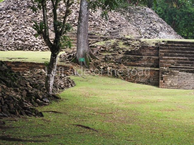
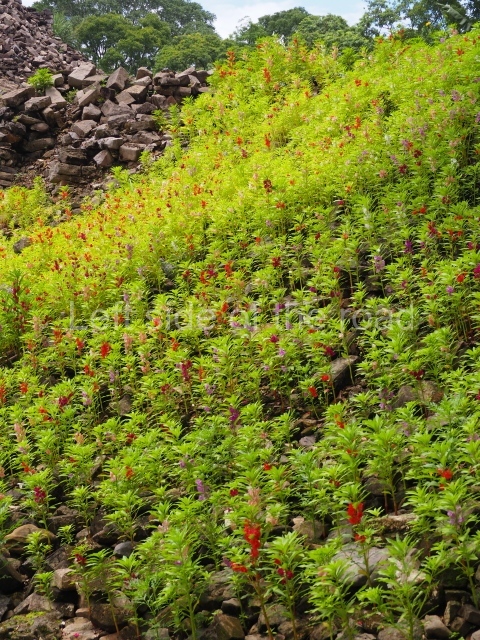
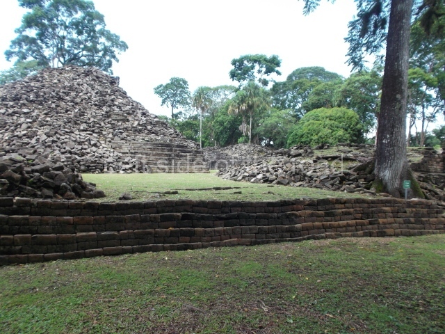
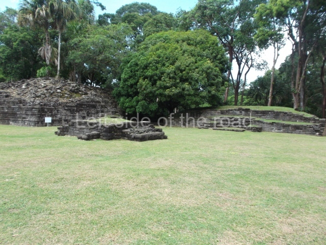
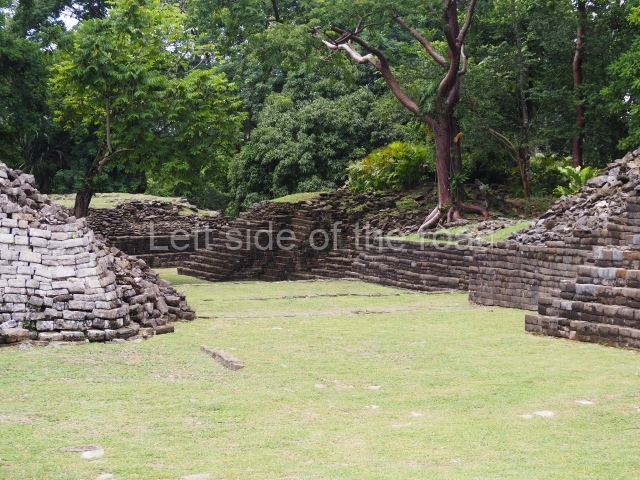
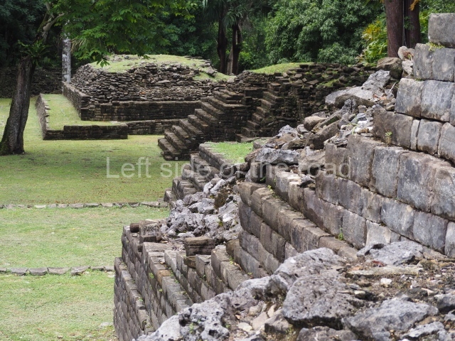
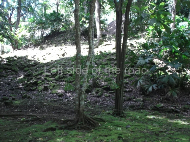
From the map drawn up by Hammond in 1969 it would appear that the settlement was distributed around four large plazas and three large pyramid platforms; the highest pyramid rises over 11m above the plaza and the foothills of the Maya Mountains and the coastal plain are visible from the top of it, as well as other smaller structures that may have been temples or adoratoriums. There are three ball courts, regarded as ceremonial structures; two of them lie north-west and north-east of the central plaza while the third court delimits the central area. These buildings alternate with residential platforms for the elite. It is possible to see the foundations of what may have been a steam bath situated south of the north-west ball court. Terraces and platforms were created on the slopes of the nearby hills to build residential and plaza groups. A large quantity of products were traded at the Lubaantun market: basalt and obsidian from the mountains, sea products, game and their skins, as well as farming produce – principally, maize, achiote and cacao. Maize and particularly cacao are the two products that Lubaantun is thought to have traded with other cities in the region.

From: ‘The Maya: an architectural and landscape guide’, produced jointly by the Junta de Andulacia and the Universidad Autonoma de Mexico, 2010, pp256-257.

Lubaantun

Lubaantun

  1. Plaza; 2. Ball Court; 3. Structure 10; 4. Structure 33; 5. Structure 12; 6. Plaza 4; 7. Structure 14; 8. Plaza 5.

How to get there:

From Punta Gorda. Take the bus whose advertised destination is Colombia which departs at the market end of Jose Maria Nuñoz Street. The best one to take is the 10.00 departure – there is no earlier one – as this goes by the approach road to the site. When dropped off it’s about a 1.5km walk to the site. If you take the 10.00 you will arrive at the road to the site at approximately 11.00. The bus back to Punta Gorda leaves its terminus at 12.30 and passes the approach road just before 13.00. But you could walk back along the road towards the settlement of San Pedro Colombia and go into Mag’s Cool Spot for a drink, just a few metres from the junction where the bus will turn to go to Punta Gorda. You could also have a look at the front of the church (just up the hill, on the right, in the direction Punta Gorda) to see how the stones from the Mayan site were used in the construction of the Catholic church – not an uncommon occurrence.

GPS:

16d 16’ 55” N

88d 57’ 34” W

Entrance:

B$10
More on the Maya

Nim Li Punit – Belize

Nim Li Punit

Nim Li Punit

More on the Maya

Nim Li Punit – Belize

Location

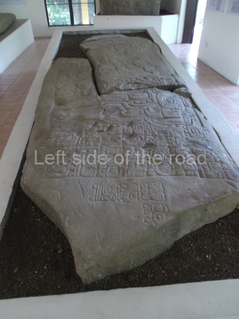
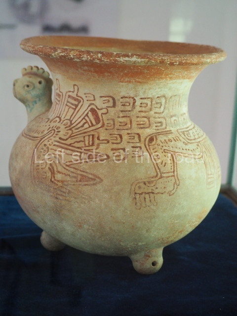
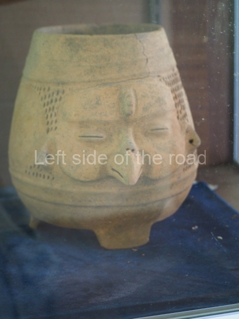
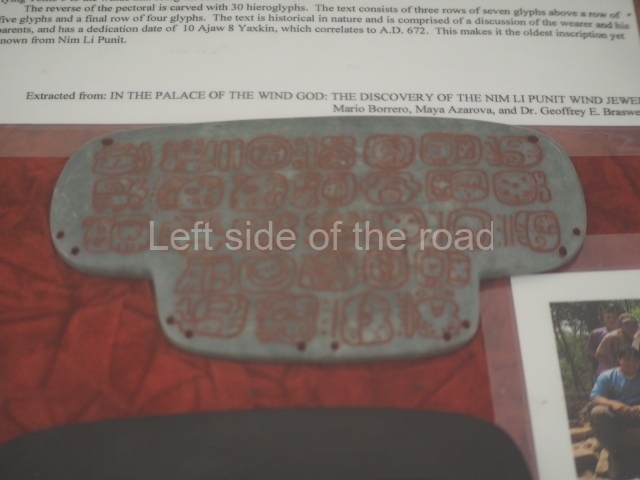
This settlement from the Late Classic period (AD 600- 800) is situated south of the Golden Stream basin on a natural elevation in the Maya Mountain foothills known as the Toledo Beds, a complex series of sedimentary, sandstone and slate rocks from the Oligocene and more recent limestone from the Cretacious period. Towards the east, the coastal plain stretches to the Caribbean and there are maize fields with hardly any rainforest in the area around the site; running along both ends of the hill on which it sits are small streams that the ancient Maya used for their own consumption and for irrigation purposes, just like their modern descendants today. The site is located near the village of Indian Creek, some 50 km from the town of Punta Gorda in the Toledo district, and 1.5 km west of the Southern Highway, mile 75. The site has a small museum for safeguarding the stelae with reliefs and hieroglyphic inscriptions, earthenware vessels and figurines, and other minor discoveries.

History of the explorations

The initial investigations in 1976 were undertaken by Norman Hammond of the University of Cambridge and Barbara McLeod of the University of Texas at Austin, who studied the iconography of the sculpted monuments and their hieroglyphic inscriptions; as a result of this research a map of the pre-Hispanic settlement was drawn up, the monuments were classified and the principal group was excavated. In 1983, as part of his survey of southern Belize, Richard Leventhal excavated the upper plaza on behalf of the Belizean government and with foreign funding. In 1986 he identified another stela and a royal tomb containing the remains of five individuals as well as over 35 ceramic vessels and countless grave goods.

Site description and monuments

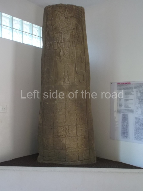
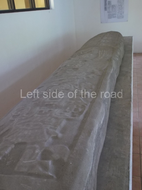
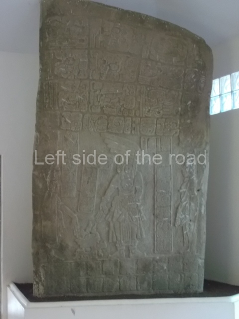
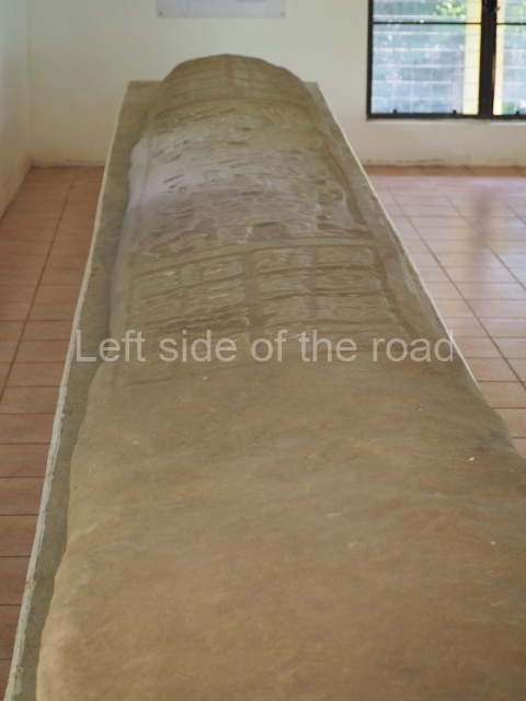
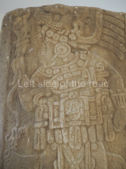
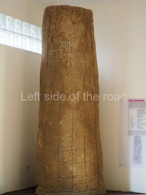
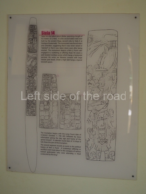
The name Nim Li Punit is Kekchi Maya for ‘Big Hat’ and was assigned by Joseph Palacio, the Archaeological Commissioner for Belize at the time the site was discovered by oil company workers in 1976. It makes reference to the prominent headdress of the figure depicted on Stela 14. Although Nim Li Punit has neither the impressive architecture nor the exquisite stonework to be found at Lubaantun, it is relatively similar in general terms and compensates for these omissions with a collection of 26 stelae, seven of which are sculpted; the largest is Stela 14, which at 9.5 m is the longest discovered in Belize and the second longest monument in the Maya area after Stela E at Quirigua. This site was initially believed to be a secondary centre dependent on Lubaantun, but archaeological studies have demonstrated that it was a large settlement and must have served as the ceremonial centre for the surrounding population. Even so, its relationship with other large centres in Belize and southern Peten remains unclear.

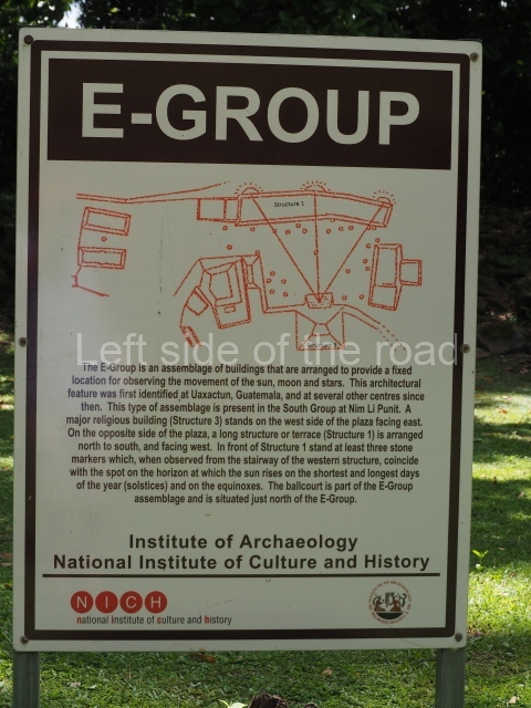
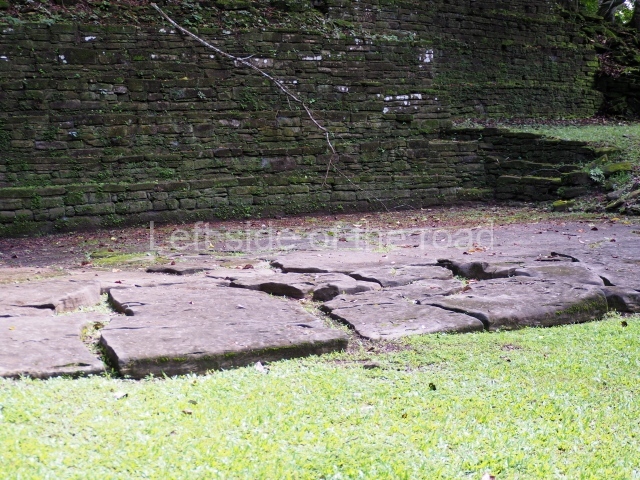
The principal constructions are distributed on the crest of a group of low hills and comprise three groups: a ceremonial complex and two civic-residential groups for the ruling elite, situated north of the main group. The ceremonial precinct is composed of two plazas, one of which stands 4 m higher than the other. The stelae were erected in the lower, and larger, of the two plazas. This plaza is in turn situated approximately 5 m above the natural level of the terrain and the various stepped sections of the platform provided access to the main group via a ramp or stairway. The largest pyramid structure stands some 11m high, while another measures 65 m in length and 3 m in height. The upper, smaller plaza is delimited by the large pyramid, two square-plan pyramid structures – one of these (structure 7) contained a rich collective tomb excavated by Leventhal in 1985 – and three elongated platforms, two small ones and a longer one at the west end measuring 40 m in length and 2 m in height. The north-east end of this plaza opens on to the Ball Court, situated a few metres below these two platforms. The court is open-ended and approximately 20 m in length, with a smooth, circular marker at its centre. North-west of the Ball Court, in the West Group, the hill slopes were levelled with retaining walls to create two terraces on which stand low platforms and a pyramid structure 6 m high, which due to its topographical position is the most imposing construction of the group, despite not being excessively high. East of the West Group and north of the Ball Court lies the East Group, composed of various stepped terraces on which are numerous residential structures; the highest terrace resembles a small irregular plaza, delimited by four pyramids and various smaller mounds.

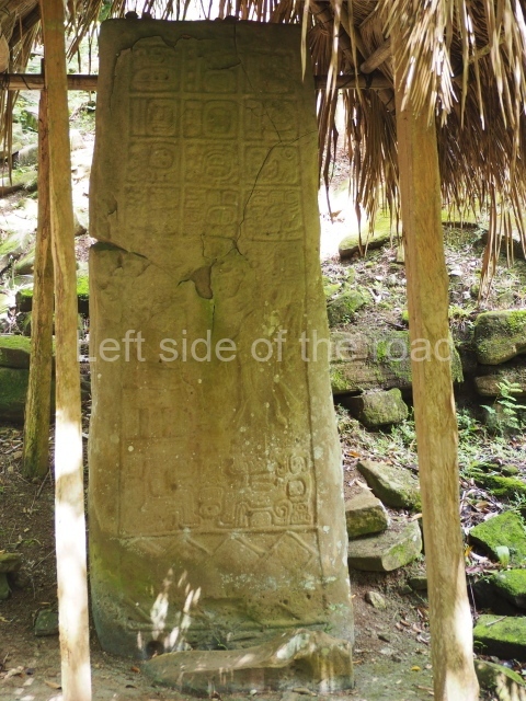
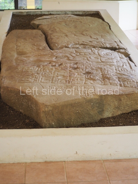
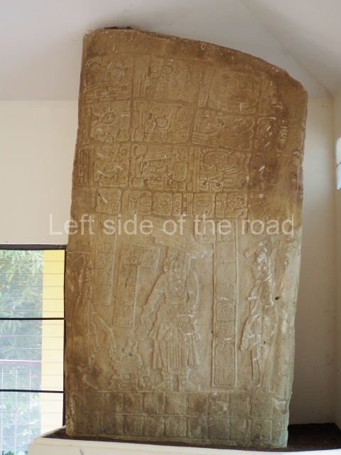
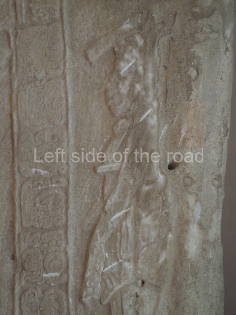
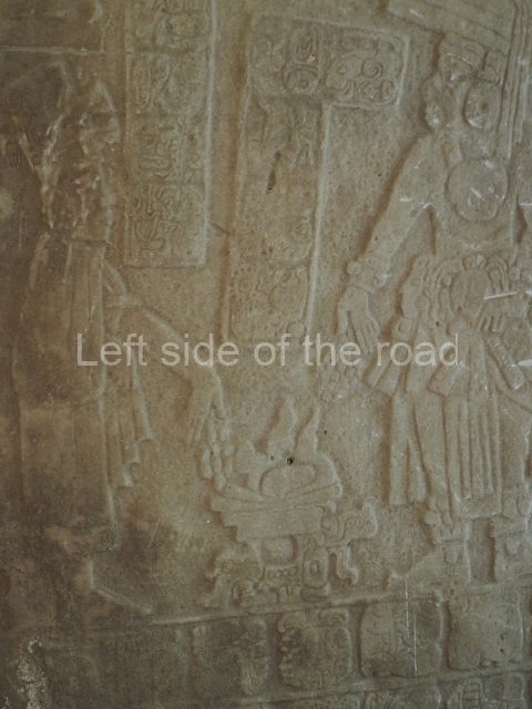
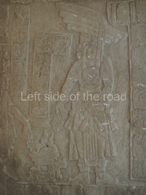
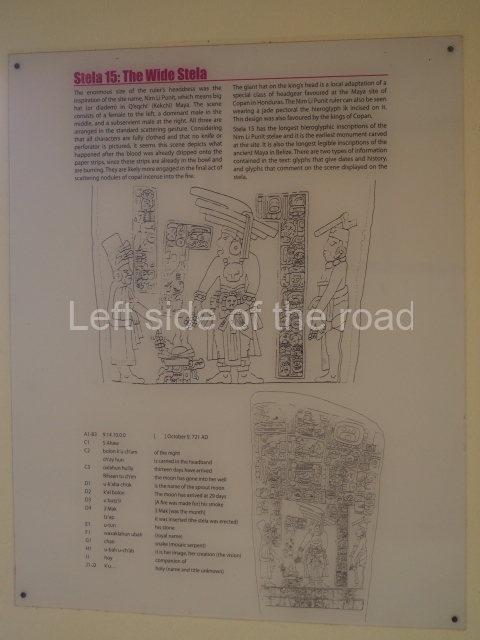
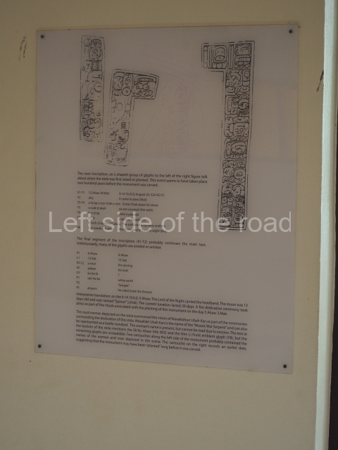
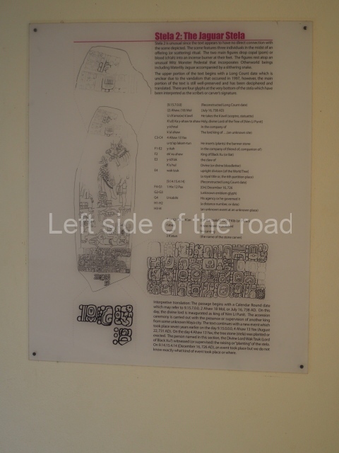
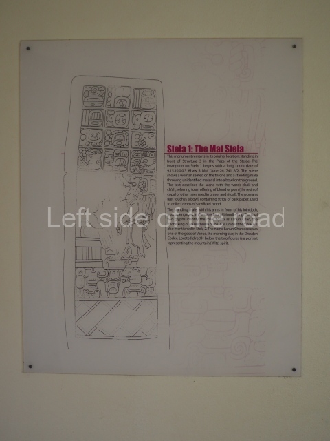
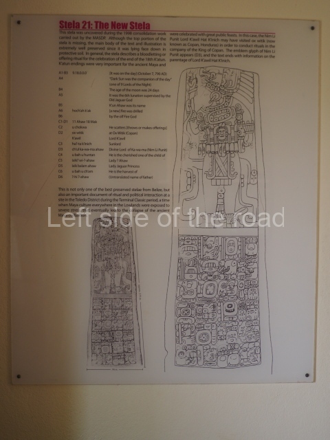
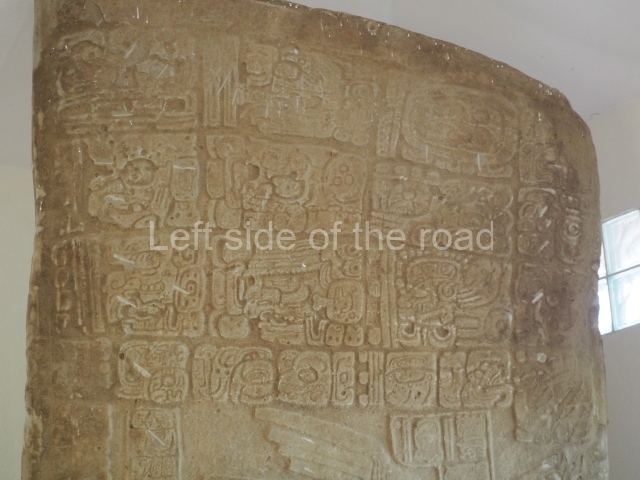
The main group contains 26 monuments – carved in the sandstone and slate found in the geological strata of the Toledo district – although this figure may change if the stela butts are included; these are still embedded in situ and surrounded by the fragments of a few scattered stelae. Seven monuments have reliefs and hieroglyphic inscriptions (stelae 1, 2, 3, 4, 7, 14 and 15). No altars or stone slabs have been found, only the smooth ball court marker. The earliest monument, Stela 15, is inscribed with the Long Count date 9.14.10.0.0 (AD 741), while the latest, Stela 3, possibly corresponds to the Maya date 10.0.0.0.0 (AD 830). A distinctive feature of the monuments is their wide range of sculptural styles and formats, each one displaying a different treatment in terms of its inscriptions, apparel and other details. The sculptural tradition lasted approximately four katuns (80 years), but the sculpted monuments reveal great creativity for a centre that was apparently secondary in the hierarchy of settlements in southern Belize; besides, the site even has its own emblem glyph. Uxbenka, a smaller site, and Lubaantun, larger than Nim Li Punit, as well as other sites in the region formed the sociopolitical mosaic towards the end of the Classic era. The sudden emergence of small polities seeking to legitimise their ruling elites gave rise to instability and political fragmentation in the southern area of the Maya lowlands.

From: ‘The Maya: an architectural and landscape guide’, produced jointly by the Junta de Andulacia and the Universidad Autonoma de Mexico, 2010, pp254-256.

How to get there:

From Punta Gorda. The Belize bound bus leaves the centre of Punta Gorda at 08.00 and 10.00 (there are later departures but these are the best for visiting the site). The road leading to the site is on the north-eastern edge of the settlement of Indian Creek – about an hour from Punta Gorda. Bus fare B$5. The site is about 800m metres up a steepish hill from the main road. You might have a long wait to get back as the bus from Belize passes at around 11.30 and 12.30.

GPS:

16d 19’ 16” N

88d 49’ 27” W

Entrance:

B$10
More on the Maya