Altun Ha – Belize

Altun Ha

Altun Ha

More on the Maya

Altun Ha – Belize

Location

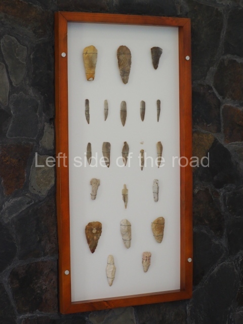
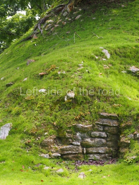
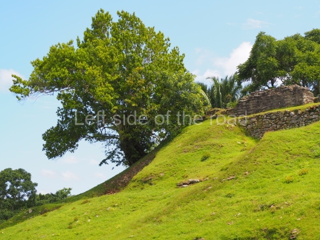
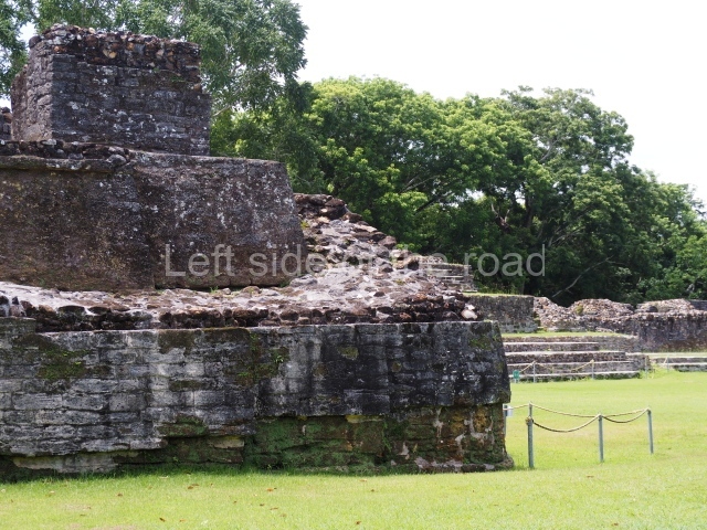
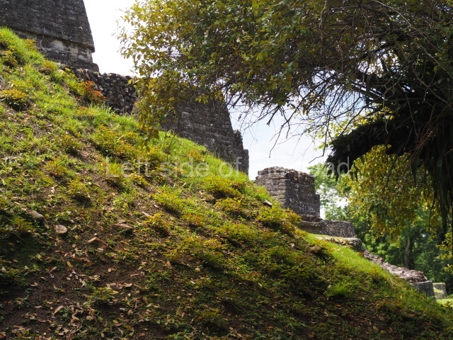
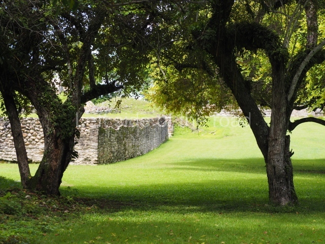
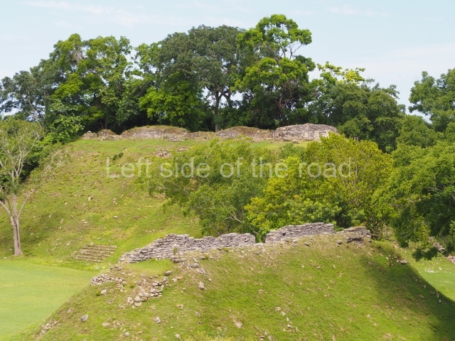
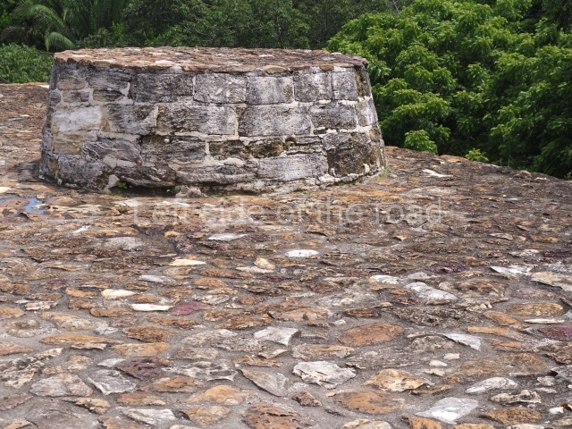
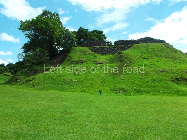
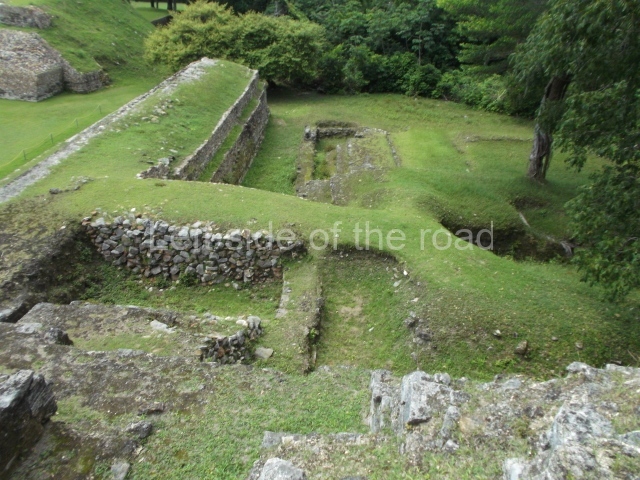
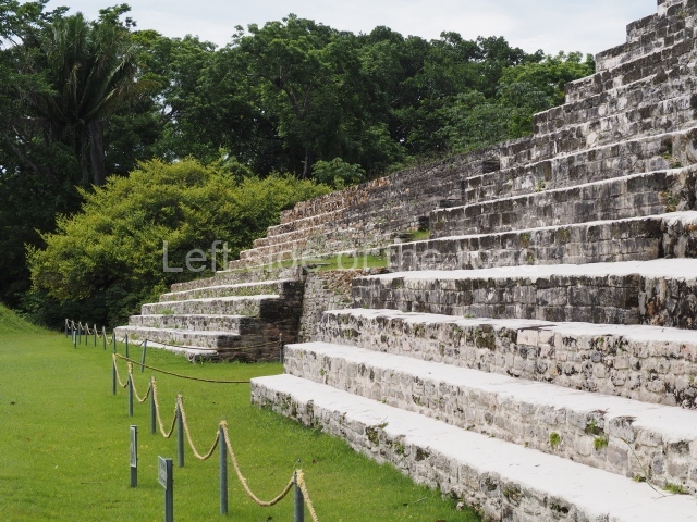
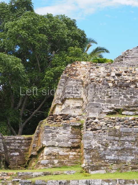
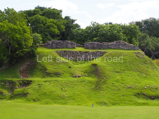
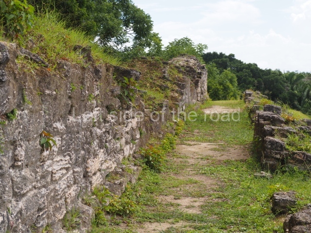
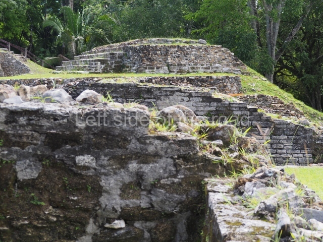
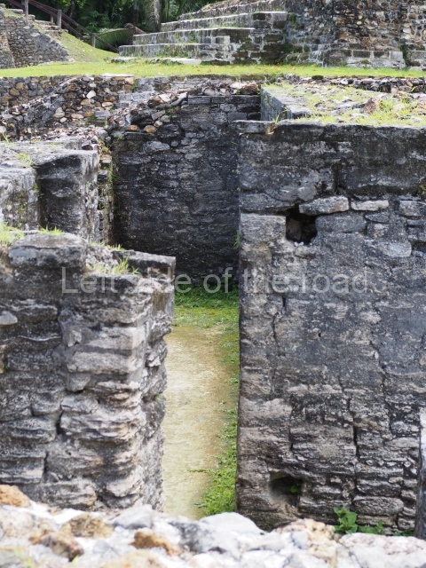
The original name of the site is not known. Altun Ha is the name of a nearby village, which in Yucatec Maya means [stone pond or lagoon). Due to its proximity to Belize City, this is one of the most visited sites. It covers an area of nearly 6 sq km and has over 500 visible structures, although the part that has been restored and is open to the public is relatively small. The constructions in the ceremonial precinct correspond mainly to the Classic period. During the excavations various unusual objects were found, corroborating the hypothesis that the site was an important link between the maritime trade routes and the inland: flint eccentrics, fine imported ceramics and the largest piece of jade ever found in the Maya area – an anthropomorphic head representing K’inich Ahau. This comes from Tomb B4/7 (2nd. A). The site is an hour by car from Belize City, taking the Northern Highway; when you reach mile marker 33, turn east and continue along the Old Northern Highway, where the signposts will lead you to the site. There is a car park, a visitor centre, and shops selling local handicrafts and food.

History of the explorations

In 1957 Altun Ha was recognised as an archaeological site by A. H. Anderson, the then archaeology commissioner in Belize, who conducted the first excavations. In 1961 William R. Bullard studied some of the materials. Between 1964 and 1970, David Pendergast of the Royal Ontario Museum carried out extensive excavations. Joseph O. Palacio began restoration work at the site in 1971 and continued until 1976. In 1978 Elizabeth Graham also conducted a series of restoration works. Between 2002 and 2003, as part of the Tourism Development Project supervised by Jaime Awe, Juan Luis Bonor and Doug Weinbury, the structures in central part of the site were restored and opened to the public.

Pre-Hispanic history

The earliest evidence of a settlement on the site dates from 200 BC. The oldest permanent construction is situated west of the central area and is not open to the public. Structure F8, known as the Reservoir Temple, is situated less than a kilometre south of Plaza B. An offering was discovered there, containing green obsidian eccentrics and blades from central Mexico, along with other imported objects not normally found in this part of the Maya area. The green obsidian may well have come from contact with Teotihuacan. The earliest building in the central precinct is Structure Al, built around 100 BC. It adopts the form of a temple and is close to the main reservoir. Subsequently, in the Early Classic (circa AD 250), building activity was concentrated in the part now open to the public. This remained the most important precinct at the site until the Late Classic.

Site description

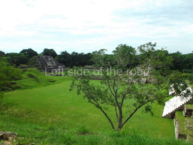
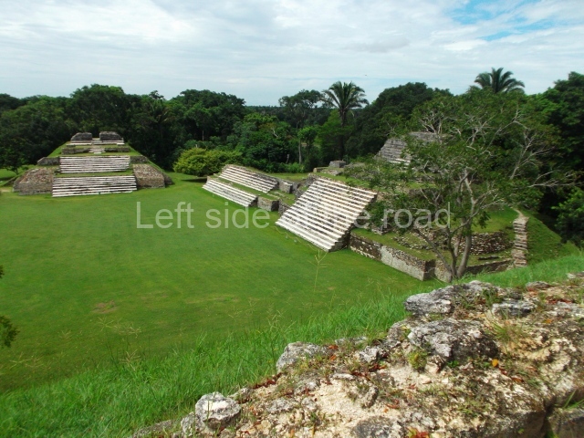
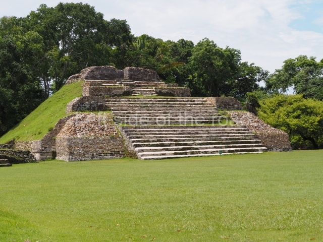
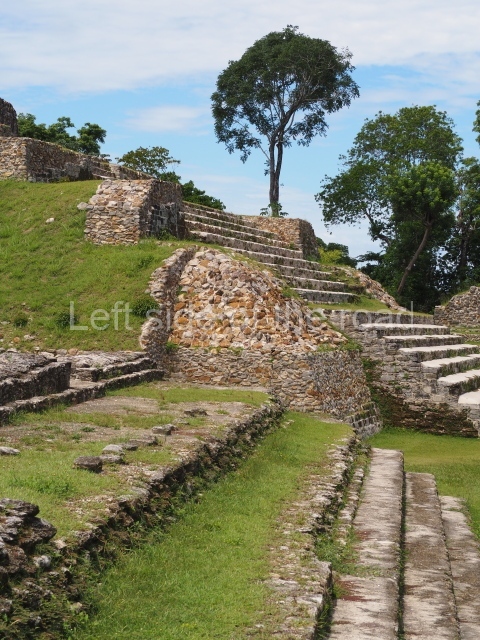
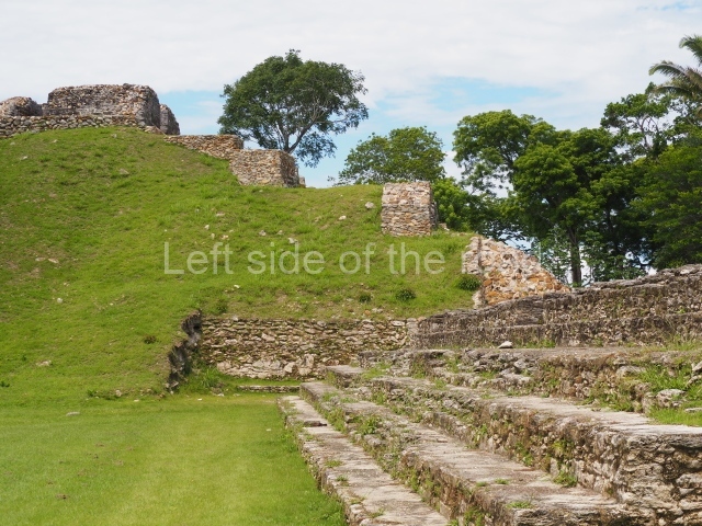
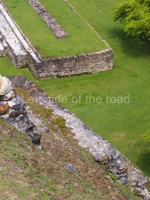
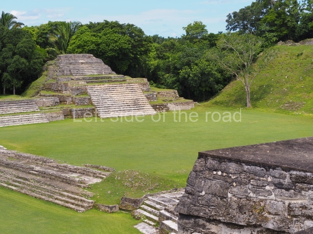
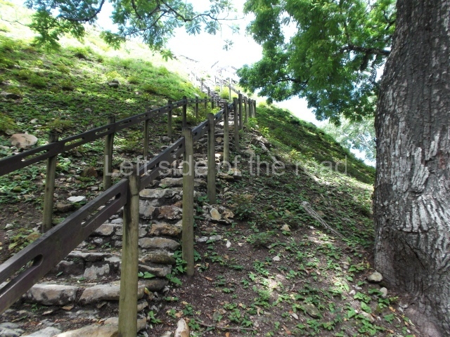
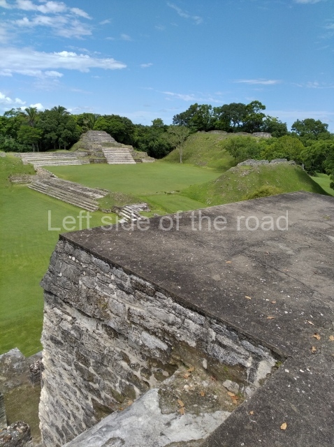
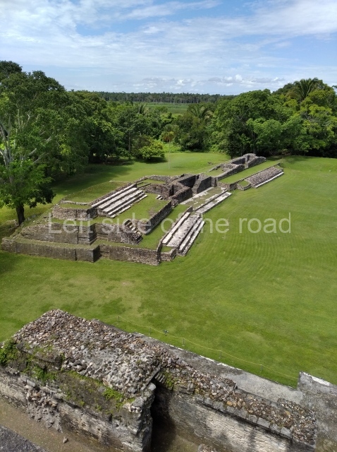
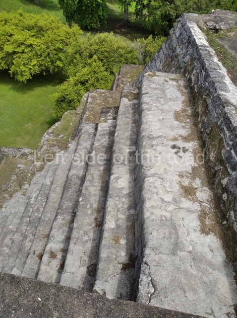
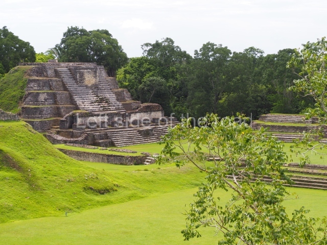
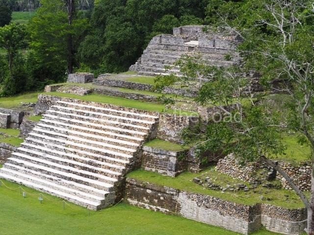
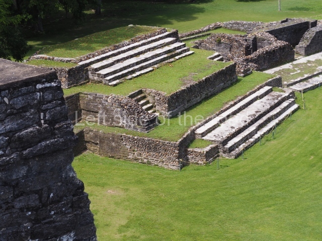
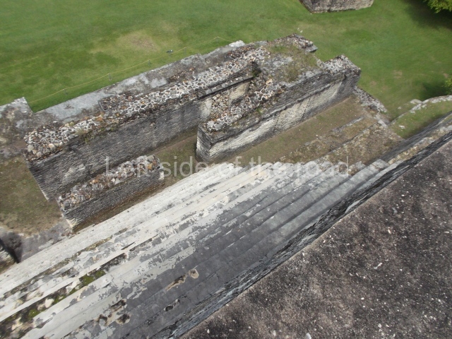
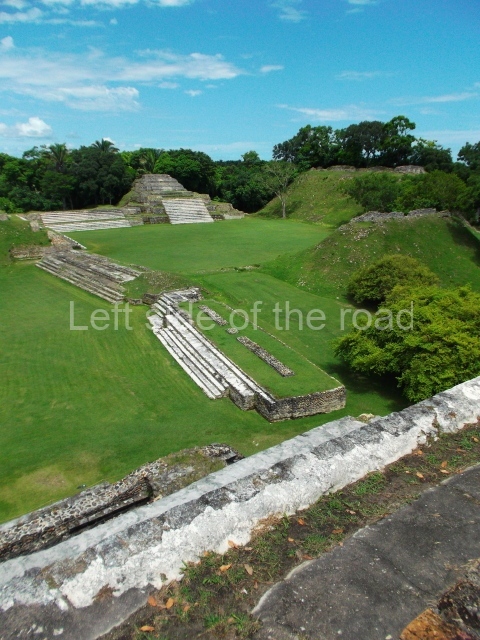
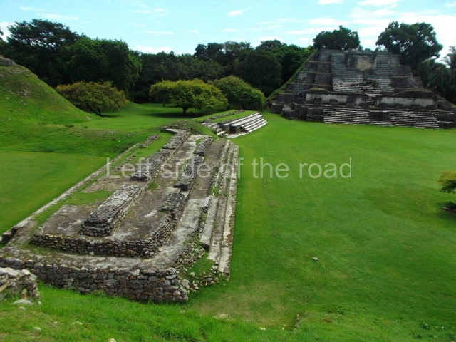
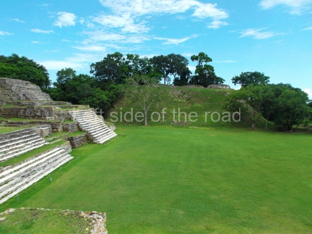
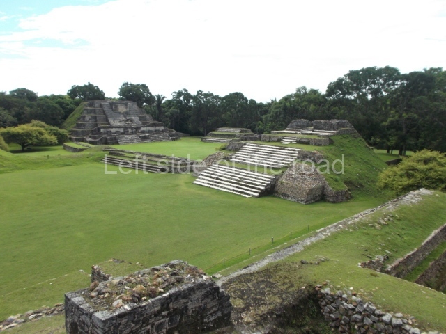
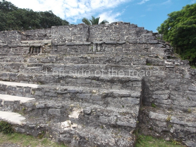
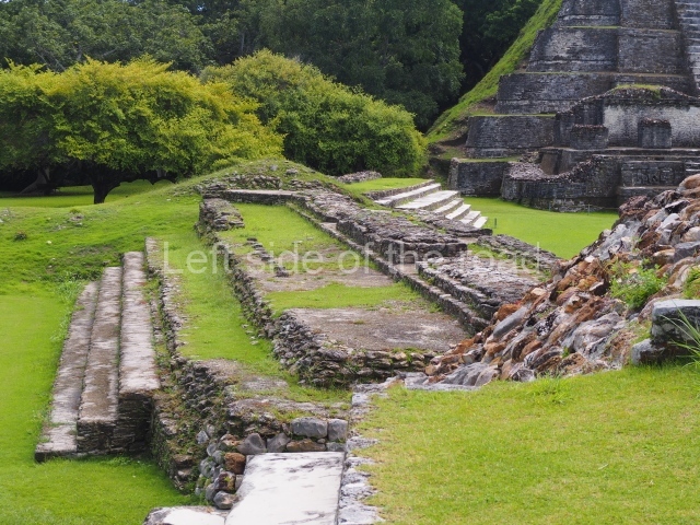
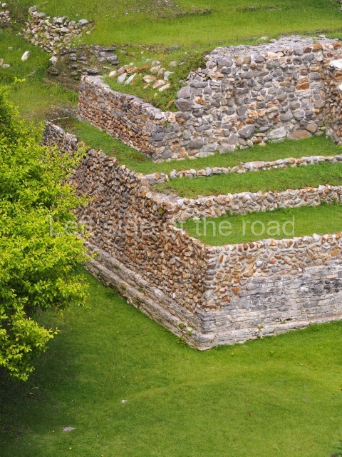
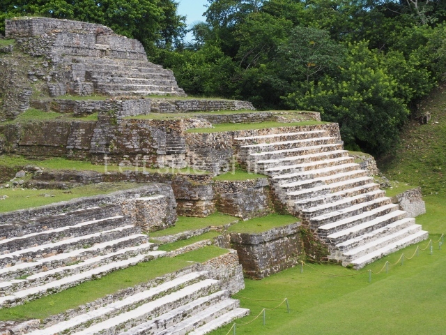
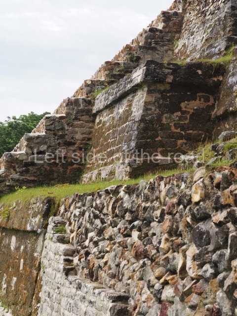
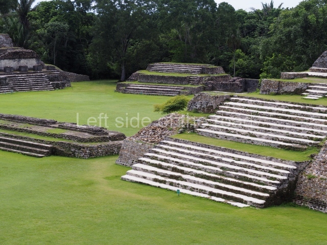
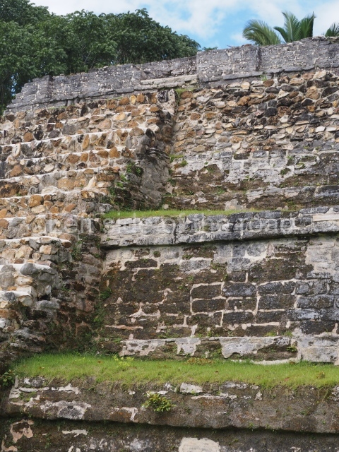
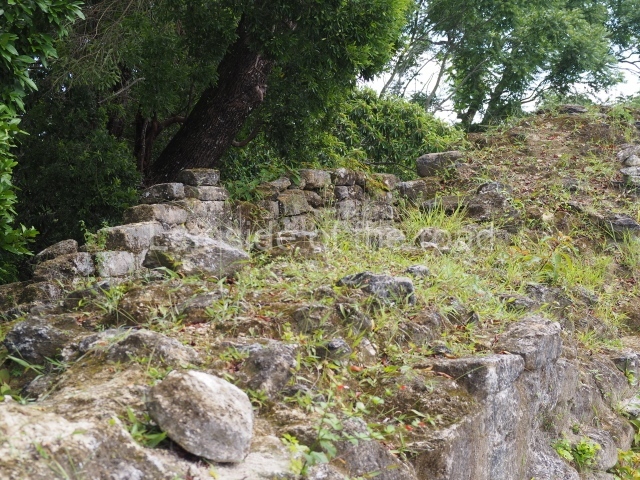
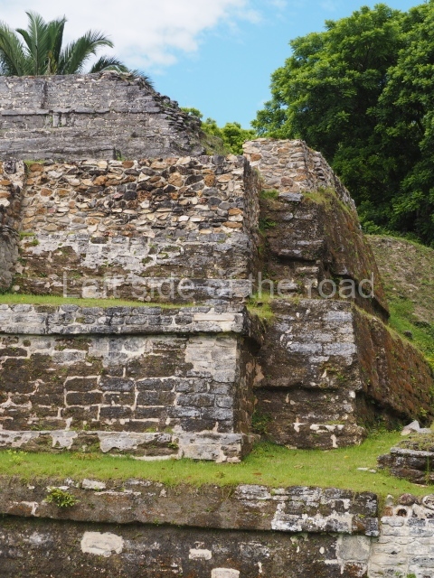
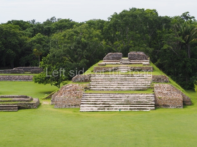
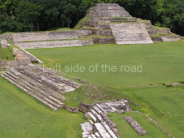
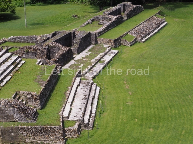
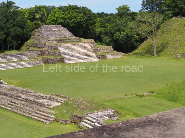
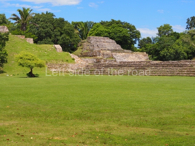
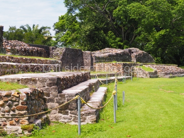
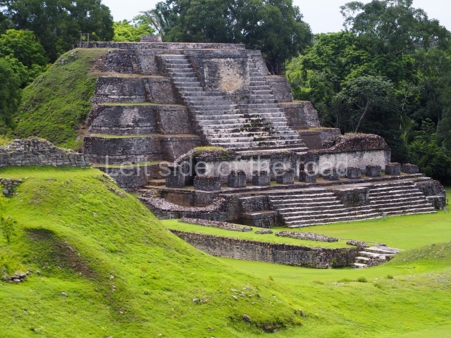
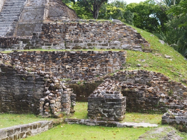
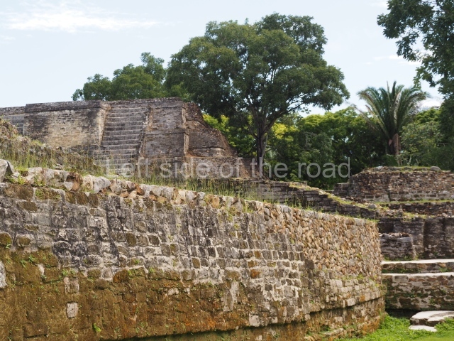
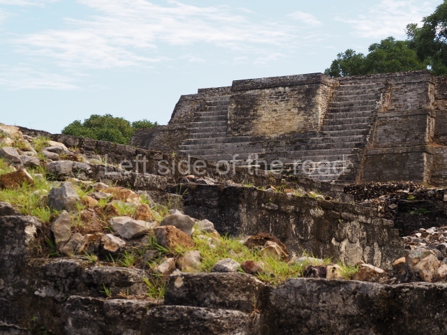
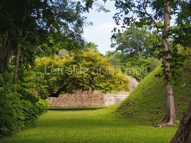
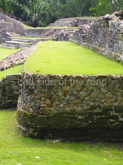
Plaza A, in the northern section of the site, was the principal ceremonial precinct until the end of the Early Classic (circa AD 550), when the construction of Plaza B commenced, immediately south of the former. Buildings continued to be erected until AD 900 and the site was occupied for a further 100 years, although no new construction took place. In fact, a century and a half prior to the end of the building activity, the existing constructions were already decaying. Subsequently, the city was abandoned and then reoccupied in the 13th and 14th centuries. Plaza A is the largest, although no monuments or stelae were found in front of the buildings, Temple 1 displays various construction phases and its final form consists of a platform with terraces, built between the 5th and 6th centuries. Slight modifications were conducted during the course of the following centuries. The building originally comprised several rooms in the upper section and a broad stairway that reached almost to the top of the structure. A tomb was found inside the temple; dating from approximately AD 550, it is the oldest in the central precinct. It takes its name, Green Tomb, from the fact that it contained over 300 jade objects, as well as shell necklaces and ornaments, stingray spines, ceramic vessels, flint eccentrics and perishable materials such as animal skins, cloth, wooden objects and what are thought to be the remains of a bark paper codex, whose fragility and fragmented condition have prevented it from being reassembled.

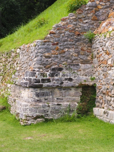
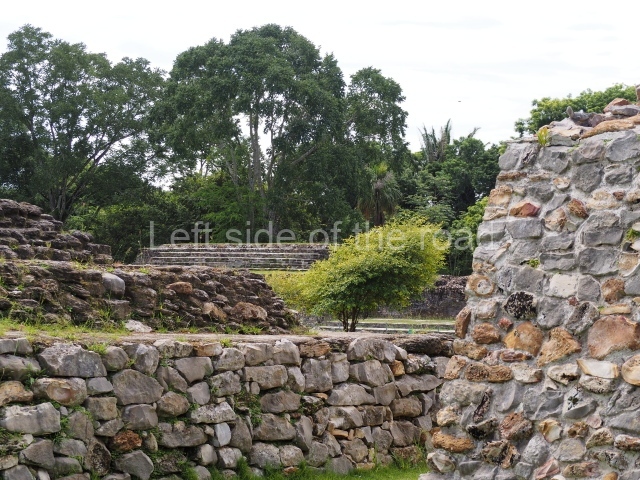
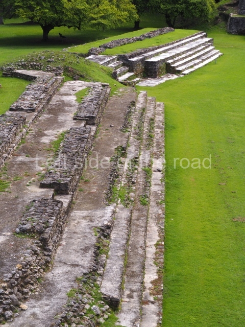
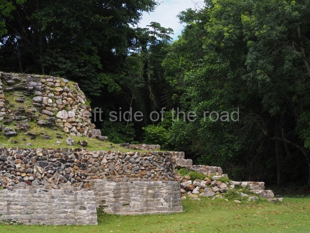
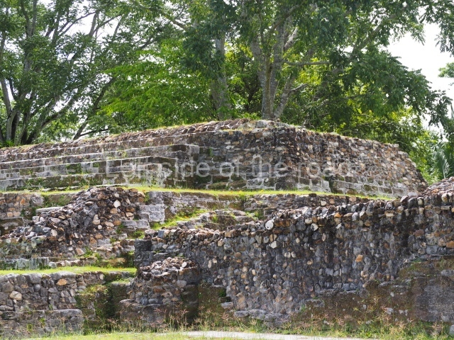
Structure A2, a platform with rooms at the top, and Structure A8, a residence, are nowadays connected, although in their earliest construction phases they were separate buildings, structure A3 is the smallest temple in Plaza A. Meanwhile, structure A4 situated in the south-east section of Plaza A appears to have been a long, narrow platform with no buildings on the top, and it may well have served to delimit Plazas A and B. Plaza B is composed of various residential constructions and large temples. A group of three buildings (B3, B5 and B6) forms the south boundary: originally, these were separate structures but they were subsequently connected during the final construction phase.

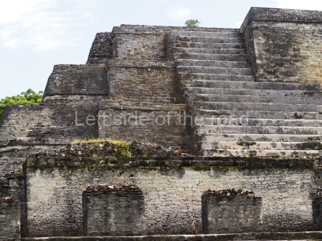
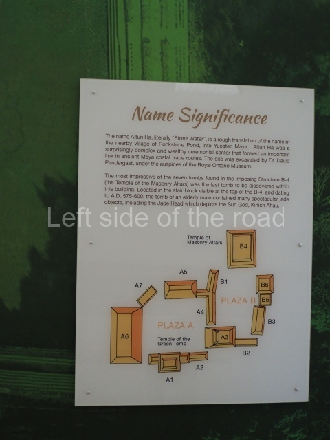
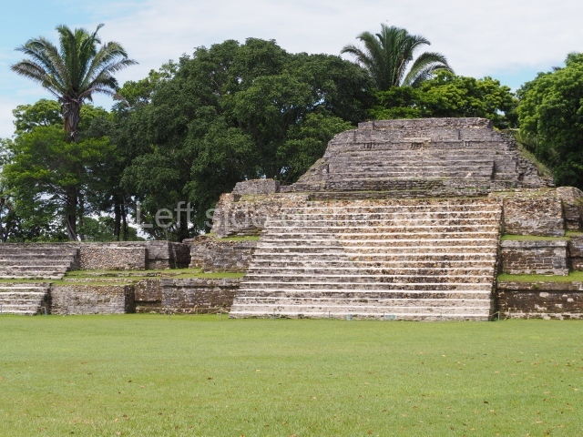
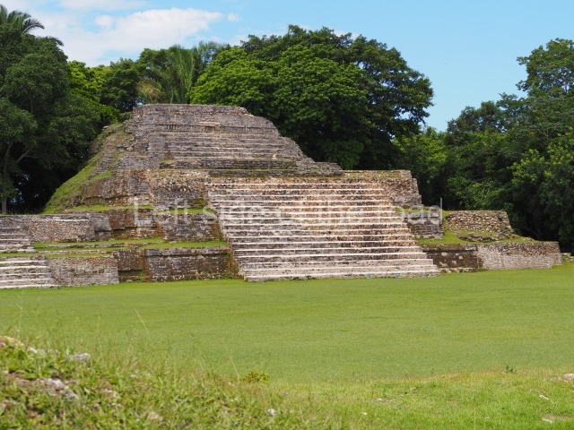
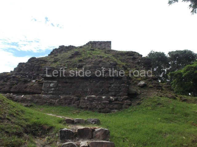
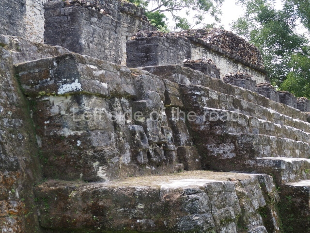
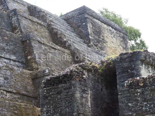
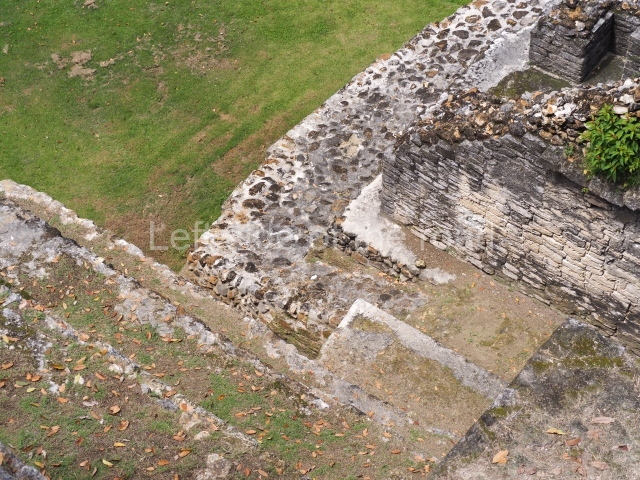
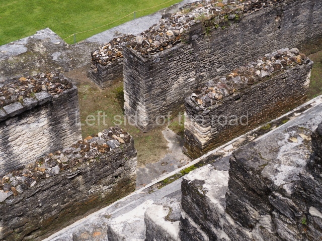
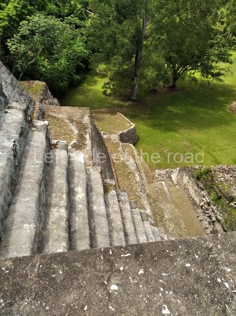
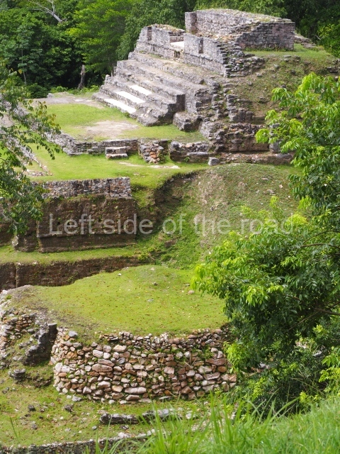
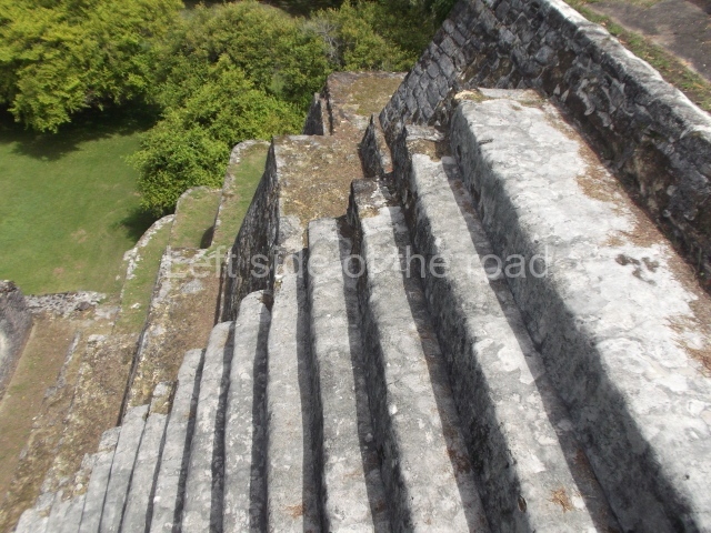
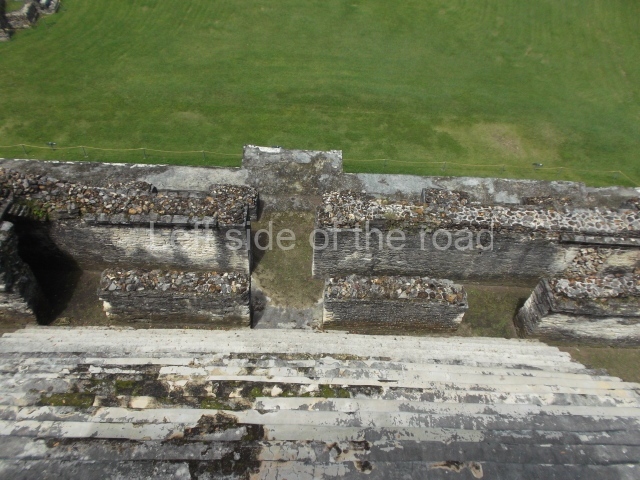
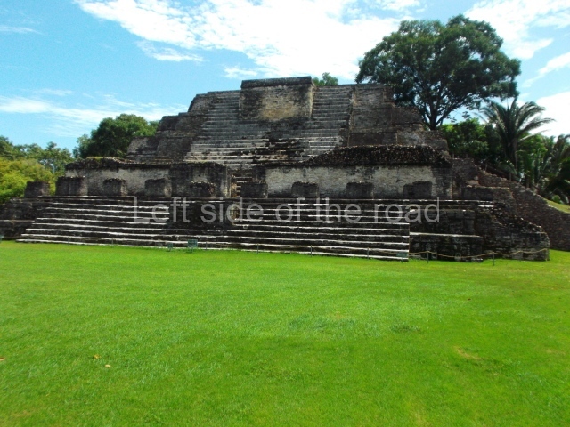
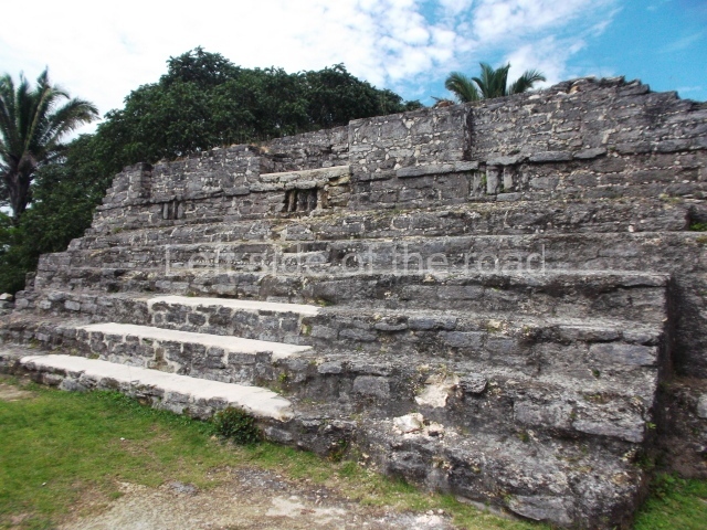
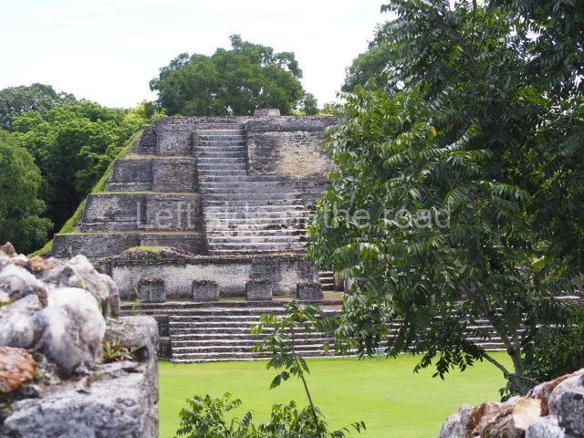
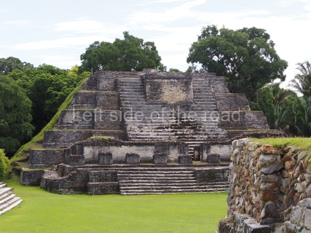
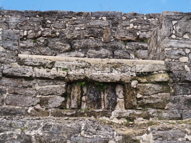
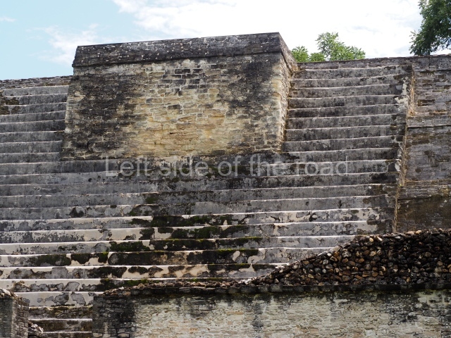
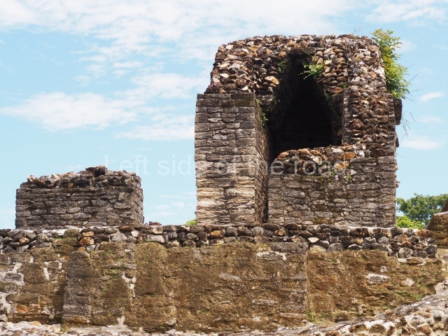
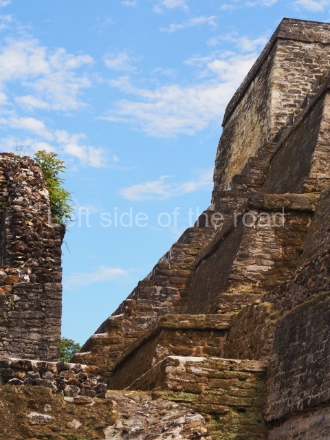
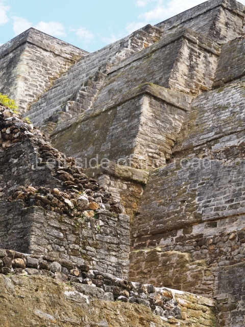
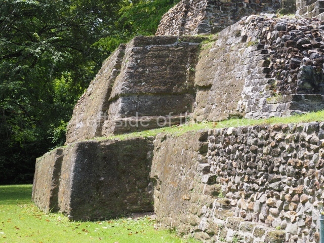
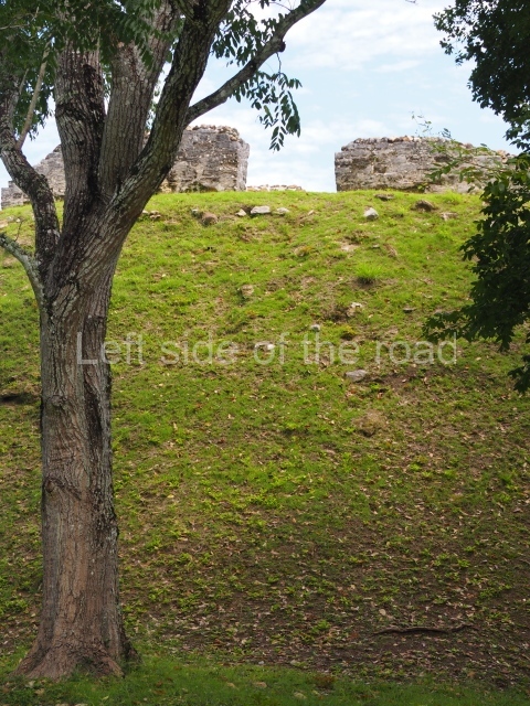
Structure B4 is the most imposing building on the site and is known as the ‘Temple of the Masonry Altars’. It displays eight construction phases and stands nearly 18 m above the plaza. Seven tombs belonging to the Altun Ha elite were found inside this structure. The most impressive of them was discovered inside the rectangular block at the top of the building: Tomb B4/7 (2nd. A), which corresponds to the end of the Early Classic (AD 575-600). The remains of an elderly male were found in the tomb and the grave goods contained spectacular jade objects, including the head of the sun god, K’inich Ahau. This corresponds to the Mac phase (circa AD 600); it is 14.9 cm high and weighs nearly four and a half kilos. A variety of perishable materials were also found, such as ropes, clothing and wooden objects that do not normally survive in the Maya lowlands due to the damp climate.

From: ‘The Maya: an architectural and landscape guide’, produced jointly by the Junta de Andulacia and the Universidad Autonoma de Mexico, 2010, p273, pp276-277.

Altun Ha

Altun Ha

  1. Plaza A; 2. Temple A1; 3. Structure A2; 4.Structure A3; 5. Structure A4; 6. Structure A5; 7. Structure A6; 8. Plaza B; 9. Structure B1; 10. Structure B2; 11. Struture B3; 12. Structure B4; 13. Structure B 6; 14. Structure B5.

Getting there:

From Belize City. There is a bus from Belize City whose final destination is Maskall and which passes the end of the approach road to the site – about a 2 mile walk. However, I have not been able to find any timetable for that bus – or whether it is possible to make the trip and back in a day. There was a bus which would have left Belize City at around 12.00 but that is not guaranteed. Otherwise, you could catch a bus to Sand Hill and get off at the junction of the Old Northern Highway. This is the road that goes within 2 miles of Altun Ha. There you either hitch or negotiate the cost of the lift. It’s all a matter of chance and luck whether you either get or lift or have to pay or not.

GPS:

17d 45′ 27″ N

88d 21′ 23″ W

Entrance:

B$10

More on the Maya

Bashkia Mosaic – Ura Vajgurore

Bashkia Mosaic – Ura Vajgurore

Bashkia Mosaic – Ura Vajgurore

More on Albania …..

Bashkia Mosaic – Ura Vajgurore

The more I see of them the more I like the mosaics that were created in the Socialist period of Albania’s history. In many ways they capture a feeling of optimism and hope for the future which other art forms just can’t achieve. Yes, paintings can do that but the very scale of mosaics, out in the public view all the time, just seems more immediate. Mosaics have been around for a long time but in the past representing non-existent, mythical goods or the ‘rich and famous’. Those created in Albania in the 1970s and 1980s put the working class and peasantry into the forefront, showing that their lives are important and, if they but know it and chose to take on the task, that a better future will be theirs. Such is the mosaic on the façade of the Bashkia (Town Hall) of Ura Vajguror, between Berat and Kucove, in the centre of the country.

Although the work of the Albanian Lapidar Survey has quantified most of the lapidars in the country the project had to chose when to stop and so many art works such as mosaics aren’t listed. That makes it all more of a pleasant surprise to come around a corner to be confronted by this little masterpiece. One of the roads in the centre of this small town was being pedestrianised and hence the traffic was forced to go in a different direction, offering me the opportunity to see the mosaic for the first time, although I had passed close by a number of times in the past.

The Bashkia itself is a relatively modest building, a square, three storey concrete building which is made special by a subtle consideration of the entrance, with a curved approach path, a very short flight of steps up to the main door, stone work on the ground floor before the monotony of the concrete (painted in cream and pink) and this magnificent, rectangular mosaic which covers the right hand side of the building, the height of the upper two floors. Below the mosaic sits a large bronze crest of the town.

However, I’m at a bit of a lost to describe exactly what it depicts and the story it is trying to tell the viewer.

What is shown are six individuals (five men and one woman) standing in what looks like a quarry. The surface upon which they stand is uneven and has many levels as if rock has already been extracted. That part makes sense as there is a lot of quarrying of marble and granite throughout the country, large lorries with huge blocks of stone being a common sight on the mountain roads. Whether this marble is of the quality of the famous Carrara from Italy I don’t know, but you do see a lot of it being used all over the country.

Bashkia Mosaic - quarry worker

Bashkia Mosaic – quarry worker

In the forefront, in the bottom right hand corner, is the only person who is actually working and we see him face on. This is one of the males who is operating a pneumatic drill with a very long bit, the sort of drill that is used to make the holes into which explosives will later be placed to crack open the mountain. Either that or making a series of holes along the length of a rock face in such number that it weakens the hold of the mountain on the rock so that it can be prised free.

He wears a blue hard hat, a leather jacket over a red shirt, jeans and heavy, protective boots. He’s looking down at were his drill is positioned and is concentrating on the job in hand.

To his left is another worker with a similar drill, but this time it’s not in operation. He has his back to the viewer and we see his face in profile. His right hand is on the drill but his left arm is raised above his head and he seems to be waving to some unknown and unseen person or persons off the mosaic. He doesn’t have a hard hat (something which would have Health and Safety representatives in the UK nowadays tearing their hair out – although it is a sad reflection on our times that safety concerns for workers in far too many countries is actually getting worse rather than better as the years go by), wears a blue shirt and brown trousers. His feet, as with his comrade, are in heavy protective boots and are on a different level, stressing the unevenness of the ground.

Above and to his right, virtually in the centre of the panel, is a manager, technician, an ‘intellectual’. We know this because he’s dressed in a grey suit with a white, open necked shirt and ordinary shoes on his feet. In his right hand he holds a large rolled up piece of paper, a plan or diagram of some kind. He is likewise in profile and is looking out of the right hand side of the panel. His left arm is outstretched in front of him, the palm facing us. He is also, as is the non-working driller, seemingly indicating to someone out of sight.

Bashkia Mosaic - 'intellectuals'

Bashkia Mosaic – ‘intellectuals’

If we could feel his hands we would probably find that they are soft as a baby’s and not calloused as would be the hands of the drillers. And this is an important matter. The artist here is depicting a group of workers as if they are equals, working for a common goal. But the very nature of the depiction shows an inequality amongst them. The technician isn’t getting his hands dirty and has a role that is slightly different from the other workers in the quarry. Overcoming this discrepancy between ‘workers of hand and brain’ was one that no Socialist society has been able to achieve, so far, and would have been one of the contributory factors in their decline and failure.

Behind him is a young woman in a red dress who is also in profile, looking ahead of her to the right hand side. She is also an ‘intellectual’. A red dress is not the working clothes in a quarry and she holds a book of some kind in her right hand. Also her long brown hair, free flowing, is not the style of worker.

A third office worker, this time another male, is a bit higher up. He wears a white shirt and ordinary trousers and appears to be wearing a red hard hat. His left arm is bent at the elbow and his fist clenched, the hand being at the level of his shoulder. This could be the clenched fist Communist salute but I’m not sure why, in this context. He appears to be looking in the direction of the woman, not out of frame as are so many others.

The final figure in the tableau is another worker. He is again in profile and looks out to the right. He’s wearing blue overalls over a yellow shirt and has his left arm high above him as if he is waving to someone out of the scene. His fingers cross the edge of a large circle that is presumably supposed to represent the sun. However, such a large sun would seem to be out of place. Having seen the results of so much political vandalism I am starting to think that there might have been something more relevant to Socialist construction. This space would be perfect for a large red or golden star – both of which would turn an image of a factory into a political statement. Yet another conundrum.

Bashkia Mosiac - The Sun?

Bashkia Mosiac – The Sun?

The background to the bottom two thirds of the image is of a quarry. The top third is taken up with images of a factory complex. As the rest of the image shows a quarry presumably this is a factory which works in the cutting and polishing of the stone quarried below. The largest part of the factory is on the left and there appears to be a conveyor belt of some kind to bring the stone up from ground level. At the very top edge of the mosaic is a black gantry. On the right are lower buildings and it would make sense if these were the offices, especially as we have office workers in the rest of the image.

That is what is depicted but what they are looking at and what the meaning is I have yet to work out. Who are they waving to out of scene? What is it that is so important that it concentrates the attention of the majority of those on the mosaic? I don’t know if I’ll ever find out the answer to those questions. Did I miss something and there’s a companion piece elsewhere on the building? I’ll have to wait until I have an opportunity to check it out.

This is one of the works of Socialist Realism that is ‘signed’, the letters EB appearing in the bottom left hand corner. I have yet to discover what those initials stand for but the fact that there is any indication of the artist on view would seem to suggest this is probably a creation of the 1980s, when the identity of the artists began to appear on such art works.

Ura Vajgurore Crest

Ura Vajgurore Crest

Completing the decoration on the front of the building is the crest for the town. The name of the town, Ura Vajguror means ‘Bridge over the Vajguror River’ and that’s what we see in the centre of the crest. On the left hand edge is a crenellated wall but I’m not aware of any ancient monument near-by (but that’s probably more down to my ignorance than anything else). Strangely at the bottom left there’s an anchor as the town is a long way from the sea and I can’t see any river close by as being navigable. On the right there’s a tall head of corn below which is a small arc of a cog-wheel, representing he collective farms and the factory complexes that would have existed during the Socialist period – all gone now.

Location:

The Bashkia is located in the centre of the town, on the left hand side of the main road heading in the direction of Kucove (if coming from the direction of Fier).

Lat/Long:

N 40.77453

E 19.87944

DMS:

40° 46′ 28.308” N

19° 52′ 45.984” E

More on Albania …..