Xel’ ha – Quintana Roo
Location
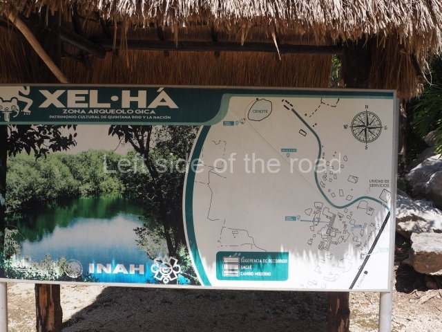
This site is located in the state of Quintana Roo, approximately 113 km south of the city of Cancun and 16 km north of Tulum. Its name in Yucatec Maya means ‘where the waters spring’ (from xel, ‘spring’, and ha, ‘water’), due to the fact that it overlooks a natural cove. This cove is believed to have served in pre-Hispanic times as a trading port and shelter for sailing vessels during bad weather. Nowadays, it has been turned into a recreational nature reserve (Xelha Park) and is regarded as one of the main tourist attractions on the Maya Riviera. The core area of the settlement with the most elaborate buildings occupies the highest point, rising in certain places to 8 m above sea level. There are several cenotes or exposed underground waters nearby. The largest is very close to the Jaguar Group at the site. The entrance can be found at km 245 on federal road 307 linking Puerto Juarez to the city of Chetumal.
Pre-Hispanic history
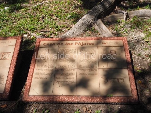
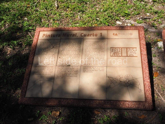
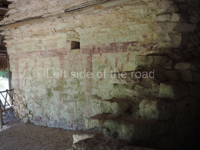
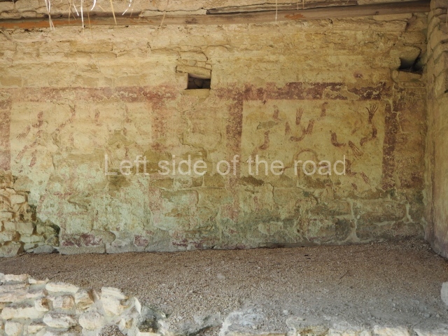
Due to its location, Xelha may well correspond to the ancient pre-Hispanic village known as Xala. Around 1527, the men in Francisco de Montejo’s expedition ‘travelled to Yucatan and cast anchor half a league from an Indian village, which they call Xala’ regarding it as favourable land for colonisation by the Spanish, they established the first Salamanca de Xala nearby. Xelha experienced two important stages of development: the first, between the late Preclassic and the end of the Early Classic, and the second throughout the Postclassic until the Spaniards arrived. During its early stage, the site reveals an increase in building activity, ranging from an incipient architecture based on perishable materials to a more attractive architecture with elaborate stonework and masonry. Combined with a gradual population increase, this enabled the settlement to gain the status of trading port, and it came to be recognised as the most important city in the region during the Early Classic. There was also evident artistic development during this stage, as manifested by its ties with sites further inland and on the central plateau; this is particularly evident from the pictorial style visible in the House of Birds.
Subsequently, during its second stage of development, the population increased further and port and trading activities were consolidated, spreading their influence along the whole of the east coast. The wall near the sea which defended the port from possible attacks corresponds to this period. Soon after the arrival of the Spaniards, Xelha entered a decline and by the middle of the 16th century had been abandoned.
Site description
The core area consists of four architectural groups, although only groups B and C are open to the public.
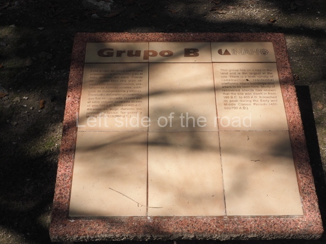
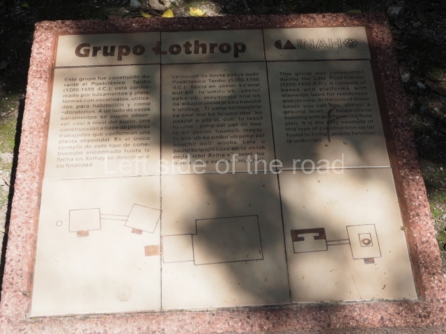
Group B or the Lothrop Group.
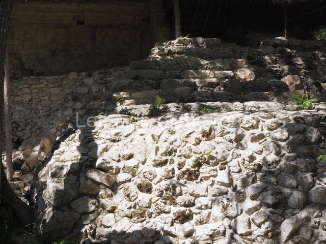
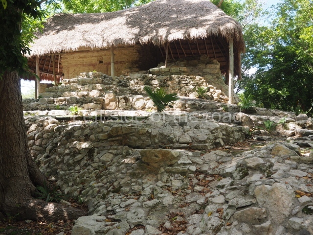
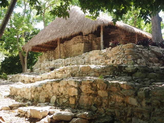
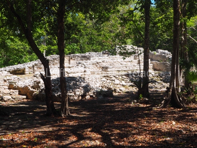
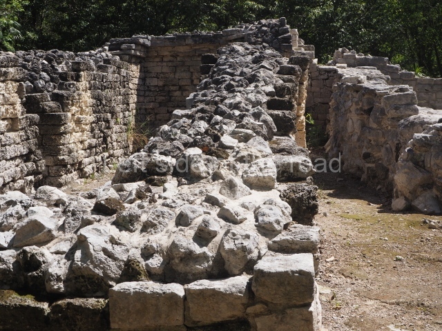
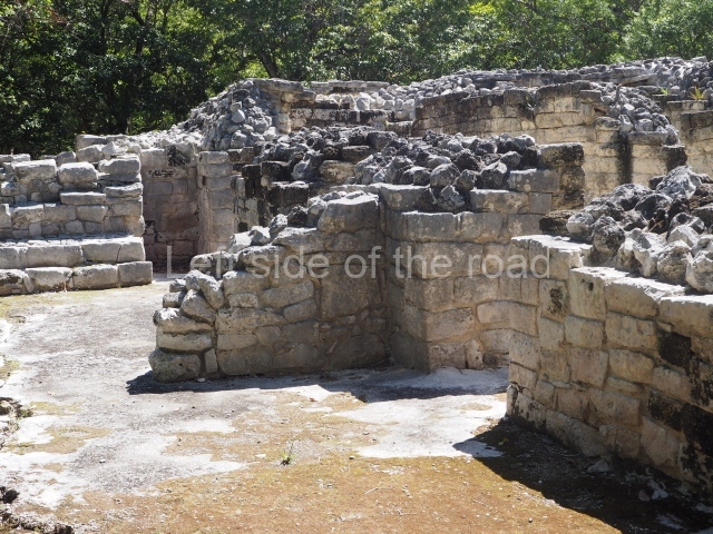
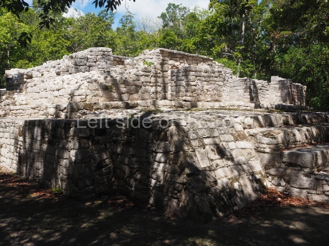
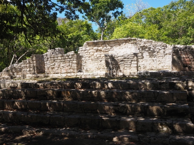
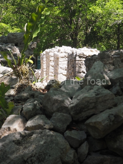
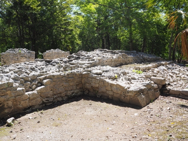
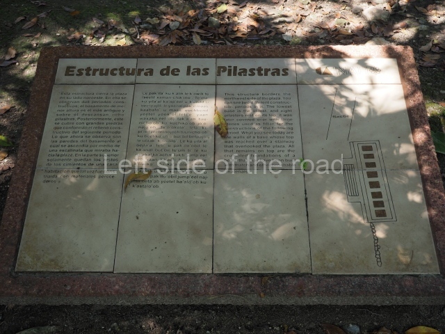
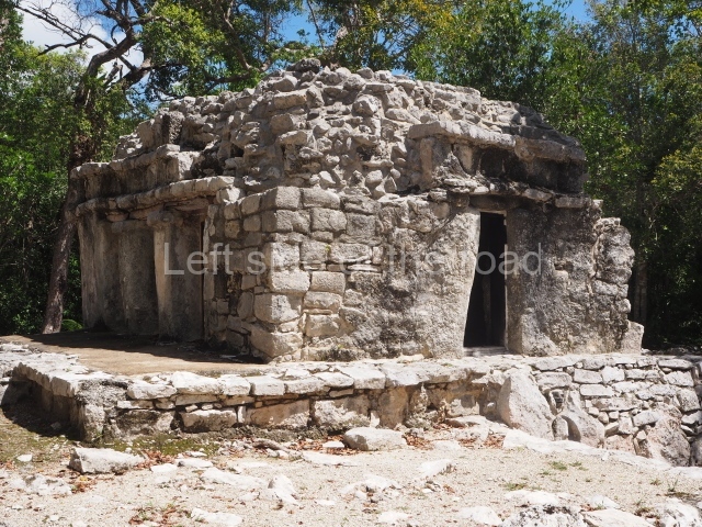
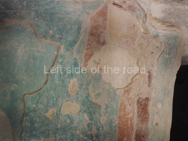
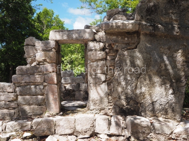
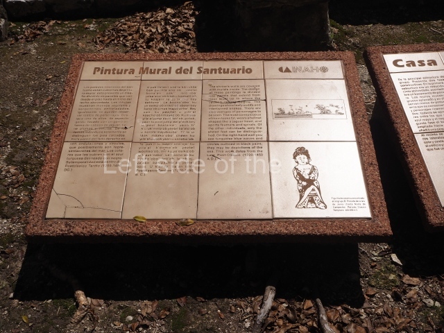
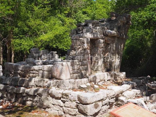
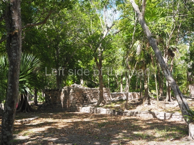
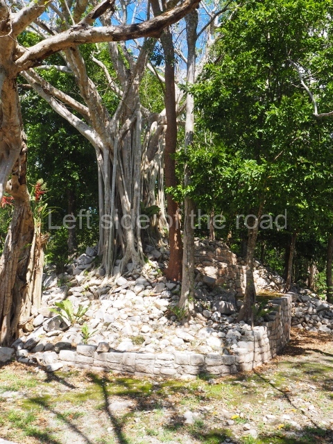
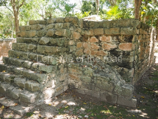
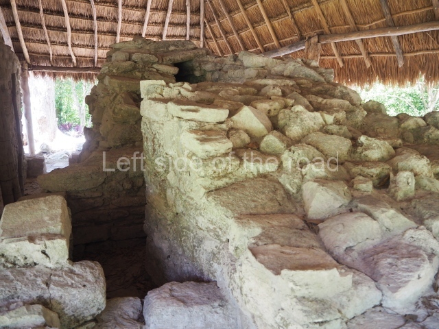
This group of constructions is situated some 400 m west of the cove. Its structures comprise platforms and masonry buildings distinctly influenced by the Peten style of architecture. The group was occupied almost continuously from the Late Preclassic until the beginning of the 16th century. It contains palatial-type buildings that were almost certainly used by people of high political or religious rank; most of them date from the Late and Terminal Classic. The main structure, known as the House of Birds and nowadays partly destroyed by the road built in the 1970s, displays numerous construction phases. The dividing wall between two rooms still has traces of murals from the Early Classic. One side of the wall depicts birds and the other an effigy of Tlaloc, with a marked Teotihuacan influence. A pre-Hispanic causeway (sacbe) measuring 6 m wide and 1,200 m long leads to groups C and D.
C Group or Jaguar Group.
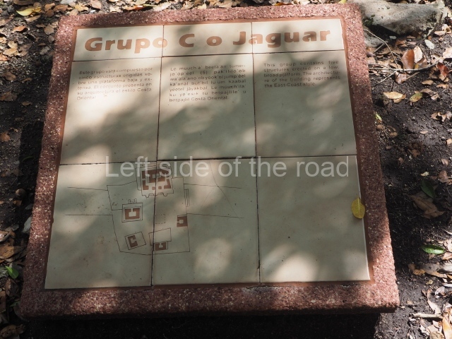
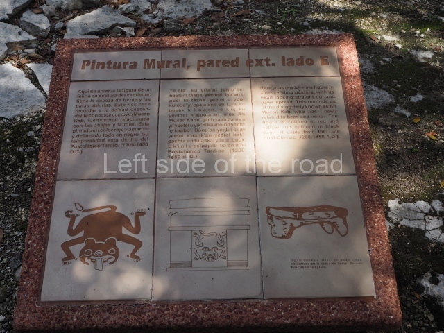
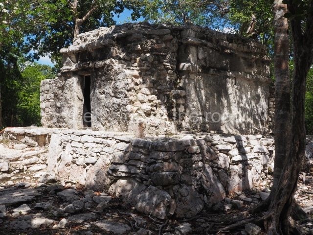
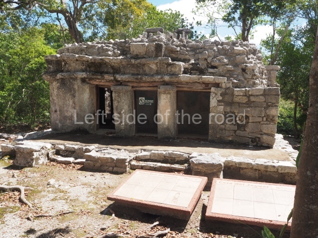
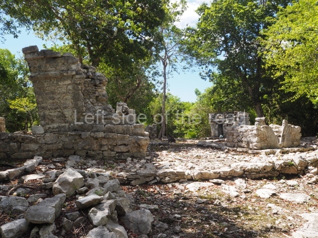
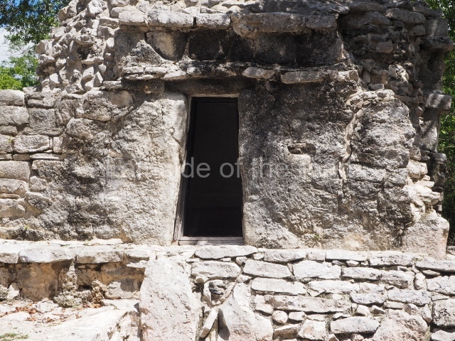
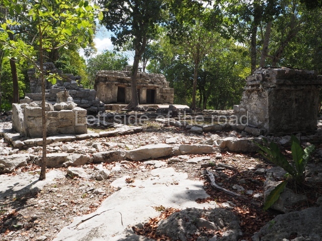
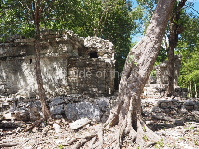
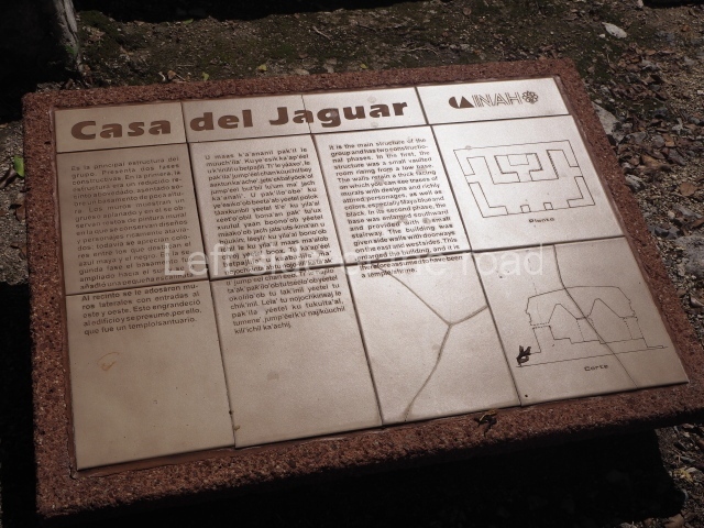
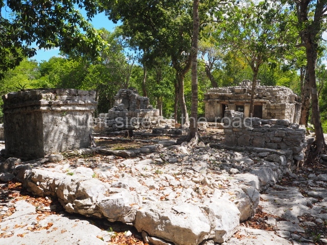
Situated on the edge of a magnificent cenote, this group corresponds to the final period of occupation. Five small temples or adoratoriums in the East Coast style are distributed around the platform they share, forming a small plaza with a tiny altar at the centre. The most outstanding building is the one that lends its name to the group. This contains another small shrine with murals on the interior and exterior walls. One of these murals shows a jaguar. Another of the temples is accessed by balustraded stairways culminating in serpent heads, now obliterated by the passage of time.
Other Groups.
Although not open to the public, Group A or the Pier Group contains constructions dating from AD 990 to 1527, situated near the cove on a small isthmus, keeping watch over sailing vessels entering the cove. It is composed of low platforms and three East Coast-style structures which were used for port and trading activities. However, the most outstanding element of the group is a wall, 50 m long and 3 m high, which protected the settlement, Group D, situated at the end of the sacbe, comprises six structures that have not been excavated but whose architecture suggests that they date from the Late Classic.
Monuments and ceramics
The historical ceramic periods can be summarised as follows:
Kantenah period (AD 100-400). There are only a few ceramic fragments from this period and no evidence of building activity, suggesting that the site must have been at a very incipient stage.
Yalku period (AD 400-600). This stage reveals considerable building activity in an architectural style characteristic of the Peten-Belize region, with masonry constructions, inset stairways and rounded corners. During this period, Xelha consolidated its status as a trading port and its cultural ties outside the region.
Chemuyil I period (AD 600-700). This is distinguished by several stylistic influences from the central region of the peninsula, demonstrating the degree of cultural relations that this settlement maintained with various inland sites during the Late Classic.
Chemuyil II period (AD 700-1200). This period denotes a transformation in the constructions with most of the buildings now being covered and closed to allow for new structures on top of them. The Vault Group (D), connected via a sacbe to Group B, dates from this time.
Xala I period (AD 1200-1527). A considerable number of East Coast-style buildings emerged in this period, including the Pier (A) and Jaguar House (C) groups. Altars were also built next to water and inside caves. Xalal II Period (AD 1527). The site was abandoned.
Importance and relations
Some authors believe that the most outstanding aspects of this site are its location and its importance within the vast coastal trade network during the Postclassic period. Meanwhile, its status as a trading port must have allowed it to develop and maintain relations with other regions in the Maya area and on the central plateau. The traces of murals in the structure known as the House of Birds denote an external influence, which was manifested in the social, cultural and artistic circles at the settlement. This again reveals important ties with other sites in eastern Yucatan and Mesoamerica.
Jose Manuel Ochoa Rodriguez
From: ‘The Maya: an architectural and landscape guide’, produced jointly by the Junta de Andulacia and the Universidad Autonoma de Mexico, 2010, pp443-444.
Getting there:
From Tulum. Not easy. Get a combi that travelling in the direction of Playa de Carmen and try to get dropped off on the main road as close to the entrance of the site as possible. The ‘not easy’ bit is getting across a busy road where the traffic scream by.
To get back to Tulum just flag down any combi that passes through the town. M$40.
GPS:
20d 19’09.00” N
87d 21’59.55” W
Entrance:
M$90


