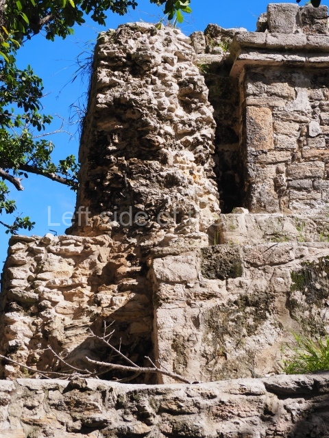
Balam Ku – Campeche – Mexico

Balam Ku

Balam Ku

More on the Maya

Balamku – Campeche

Location

This site is situated 100 km east of Escarcega and 3 km north-east of Conhuas. The distance from Chetumal is approximately 180 km. The archaeological area comprises several architectural groups distributed around medium-height jungle zones. To the north of the buildings open to visitors is an aguada, which had an important function in pre-Hispanic times. The pre-Columbian site was christened by the archaeologist Florentino Garcia Cruz, who made his first survey at the beginning of the 1990s, prompted by various episodes of plundering in the area. The name chosen means temple (ku) of the jaguar (balam), a reference to a striking stucco motif at the site.

History of the explorations

Garcia Cruz and Ramon Carrasco of the National Institute of Anthropology and History (INAH) were the first people to study the site and define the archaeological area. Carrasco conducted work on several constructions in the central architectural precinct and restored the volume of the building containing stucco-modelled elements. In 1995 a team of French researchers led by Dominique Michelet and Pierre Becquelin embarked on a series of excavations and consolidated various buildings in the South Group.

Timeline, site description and monuments

The occupation of the Maya city stretches from several hundred years prior to the Common Era to approximately the 10th century AD.

South group.

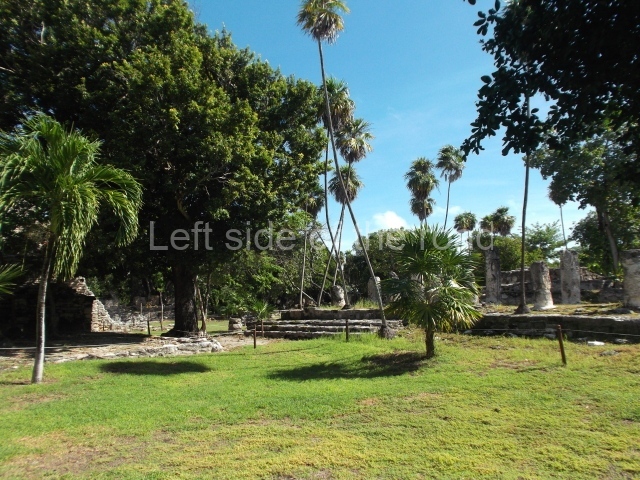
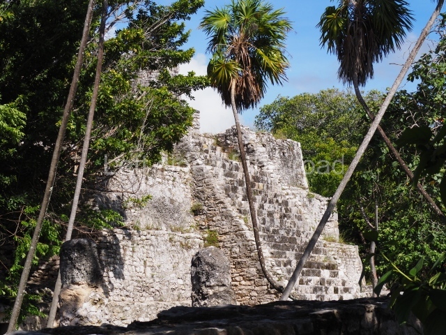
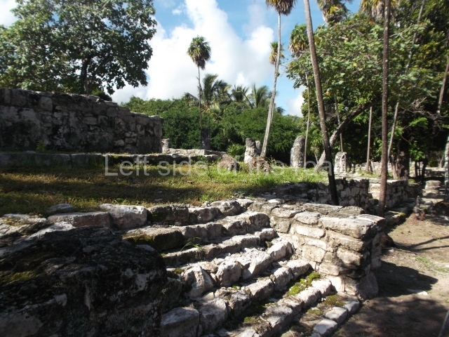
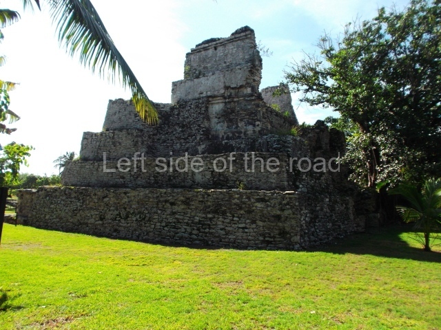
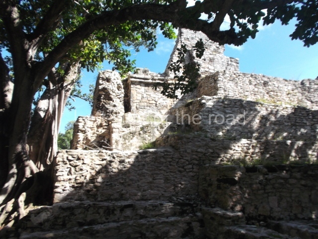
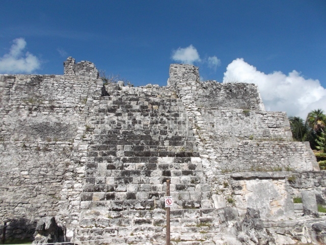
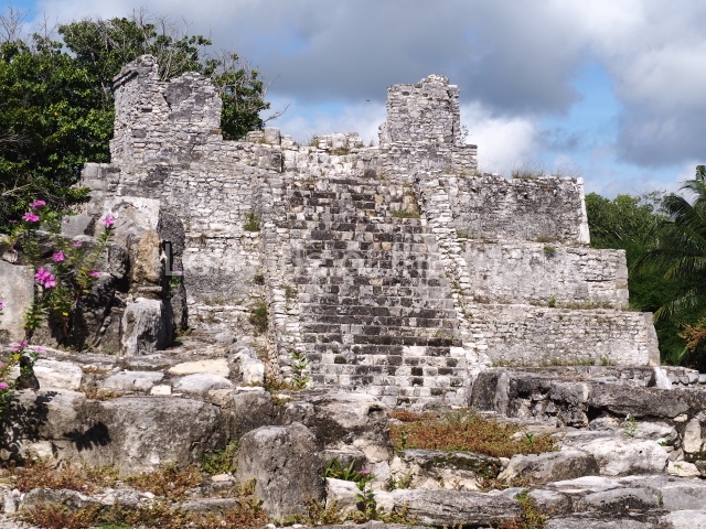
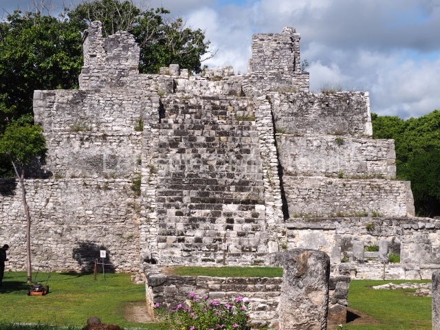
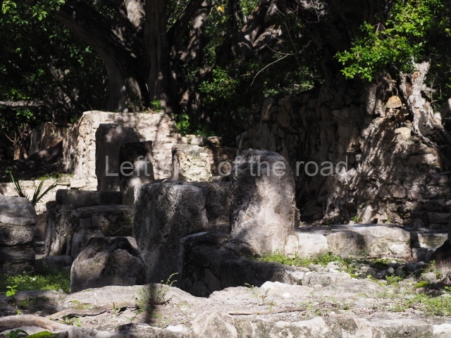
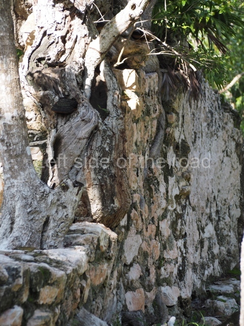
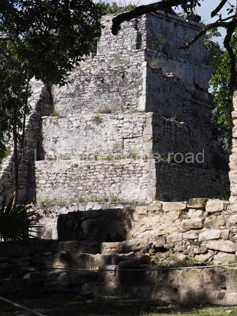
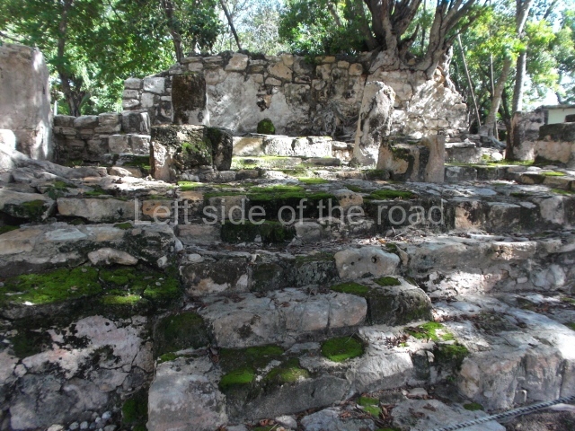
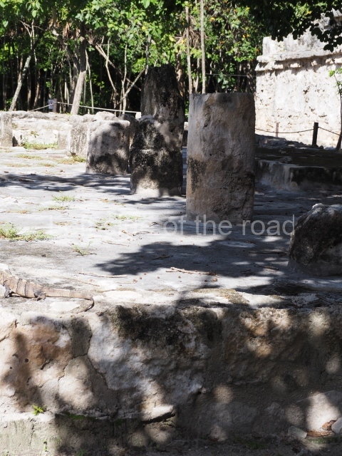
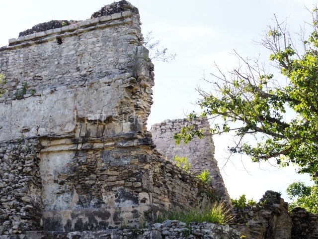
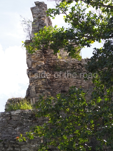
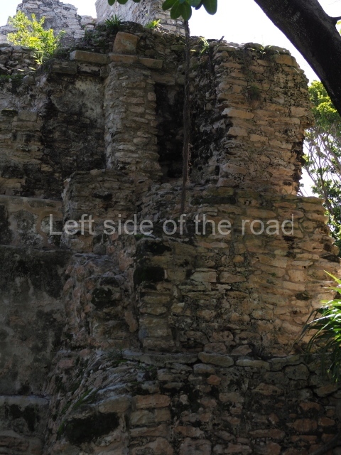
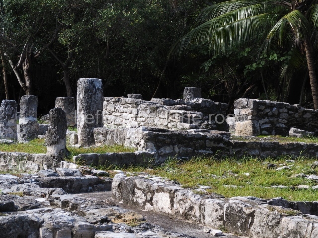
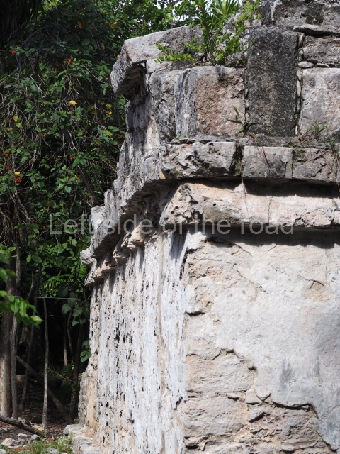
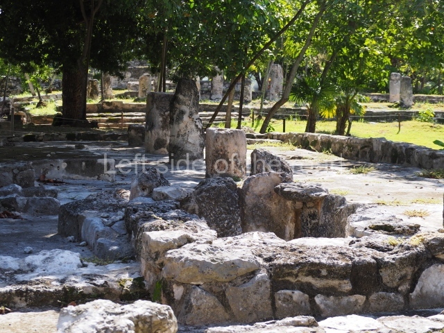
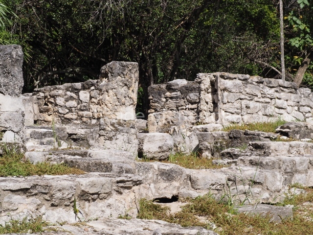
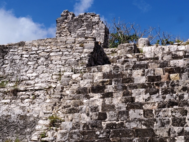
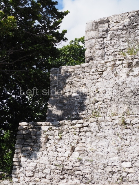
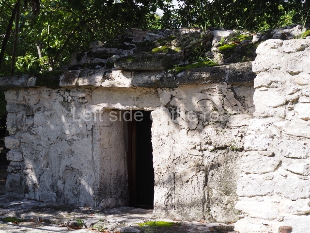
In the middle of this area stands a pyramid platform approximately 10 m high. The various buildings arranged around it form four plazas. The pyramid was built during the Early Classic (AD 250-600) and was subsequently covered by another one; although this later construction has not survived, its fillings facilitated the preservation of the present day monument. The upper part is occupied by a temple whose facade provided the basis for a giant zoomorphic mask – one of the earliest examples of this type of facade in the region. This important architectural feature, symbolising the powerful deity Itzamnaaj, gradually evolved to cover entire building facades. The finest and best-preserved examples of whole zoomorphic facades can be found at Chicanna in southern Campeche and Tabasqueno in the Chenes region. The northern section of the South Group contains several examples of elite dwellings: masonry constructions clad with carefully cut veneer stones and even forming stacks of masks around the main entrances. Various of the rooms have broad benches. The constructions are situated at the cardinal points and form rectangular plazas, in keeping with the typical Mesoamerican pattern.

Central group.

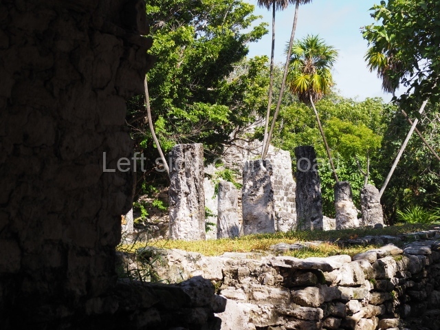
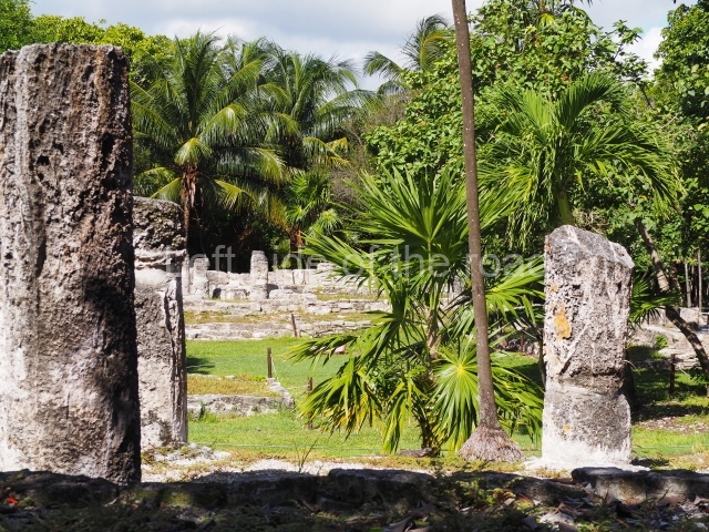
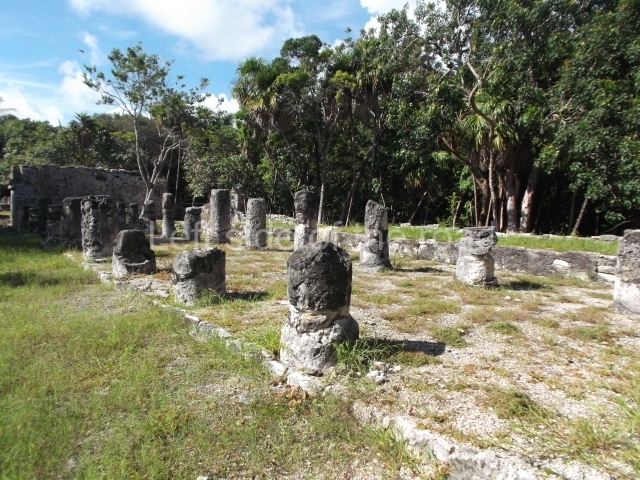
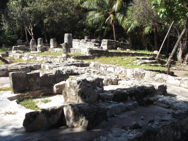
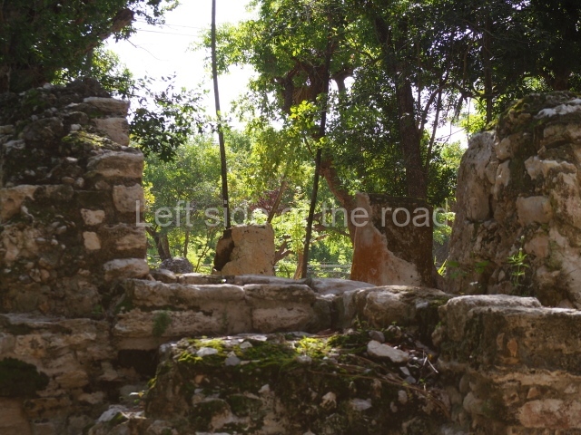
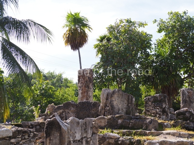
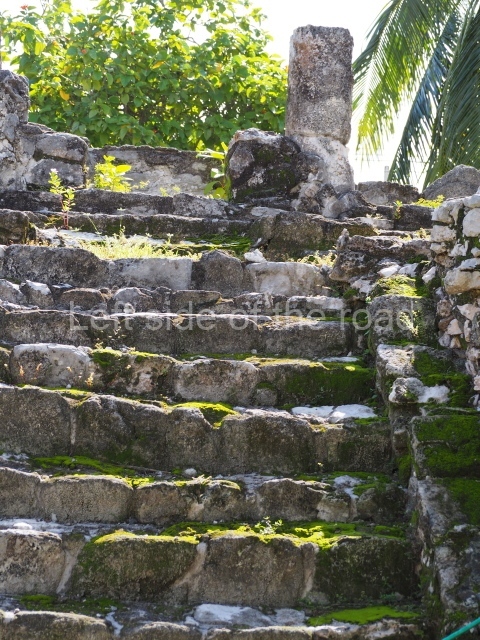
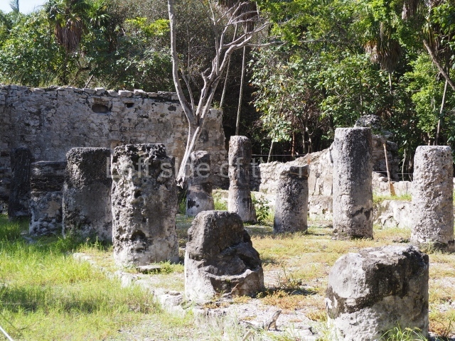
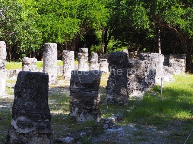
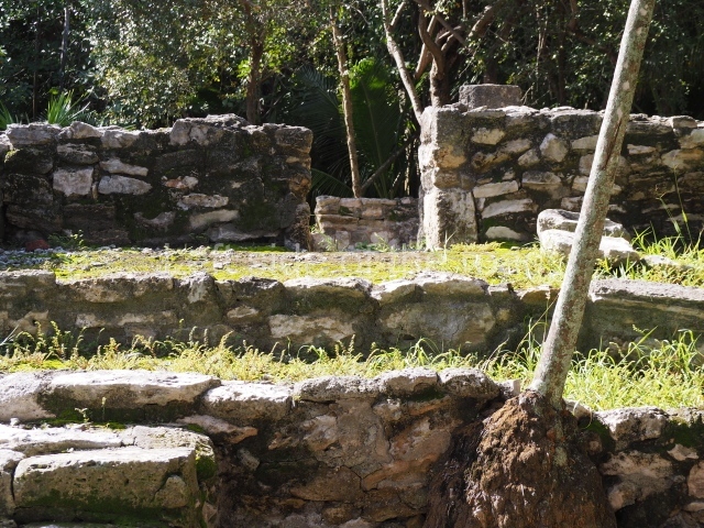
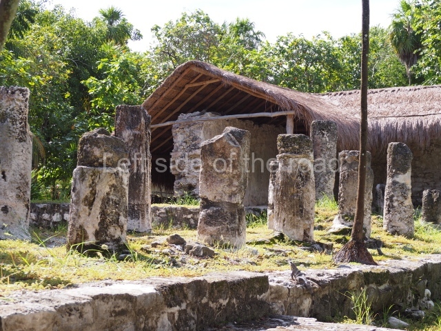
This comprises 30 or so monumental buildings distributed around three large plazas. Explorations have been conducted on several buildings that indicate the entrance to the architectural group and beyond them three pyramid platforms whose sides are now abutted as a result of their gradual expansion. The early constructions are clad with carefully cut veneer stones in the Rio Bec style; it is still possible to see rounded corners, masonry columns at the entrances to rooms, some with benches, but the vaulted roofs and elaborate stairways flanked by balustrades have been lost. We then proceed south to a plaza whose west side displays a broad stairway leading to a large building that has not yet been explored. Three platforms stand at the north end of the plaza. The excavations conducted confirmed architecture principally of the Peten style, developed during the early centuries of the Common Era.

Pyramid platform in the north-west section.

It was this structure that led to the original exploration of the site. Various episodes of plundering had dismantled the final construction stage, exposing a large proportion of a sub-structure whose frieze had once been decorated with interesting stucco-modelled motifs. The various elements have preserved most of their original colour, which is mainly red, but there are also traces of cherry red, black and blue. The motifs found in this building correspond to the frieze of its main facade. These are situated above three entrances and symbolically display opposing and complementary aspects of the ancient Maya world view. Originally, the lower section of the frieze depicted four imposing images of Cauac or the Earth Monster, one for each cardinal point. These alternate with images of jaguars, animals associated with the underworld. The upper part of each Earth Monster has a large crack, from which sprout toads on the left and crocodiles on the right. The reptiles and amphibians evoke the damp, fertile earth, recalling the original sea from which the legendary Maya world emerged; they represent the transition between the abode of the gods and that of human beings. From the amphibians’ jaws sprout sacred lords, the governors of the Classic period, seated on jaguar skin thrones. These are flanked by the stems of water lilies or other flowers, elements that indicate abundance because high-ranking officials were responsible for providing their subjects with well being and everything they needed. The dignitaries’ headdresses are poorly preserved but must have displayed zoomorphic figures associated with deities. Overall, the frieze shows the emergence of a legendary world of governors closely tied to the deities and their powerful religious symbols. Balamku had stone hieroglyphic inscriptions but to date only a few greatly decayed stelae have been found.

Importance and relations

The extraordinary stucco frieze at Balamku is one of the finest examples of the Early Classic iconography of the Maya world. It tells us of the governors’ complex world view and their association with a supernatural world from which they believed their political authority emanated. To a certain extent, the stucco motifs are comparable with those of the frieze at Placeres, a site in the southernmost part of Campeche; this frieze is thought to have been dismantled by plunderers but has fortunately been recovered and is now on display in the Maya Room of the National Museum of Anthropology in Mexico City. Meanwhile, the monuments at Balamku demonstrate the site’s former influence over the surrounding area, where it coexisted alongside other important sites such as Becan, 40 km to the east; Oxpemul and Calakmul, in the south; Silvituc, around and on the island in the Centenario Lagoon, 40 km to the west; and Nadzcaan, a vast city situated some 25 km to the north.

From: ‘The Maya: an architectural and landscape guide’, produced jointly by the Junta de Andulacia and the Universidad Autonoma de Mexico, 2010, pp324-326.

Balam Ku

Balam Ku

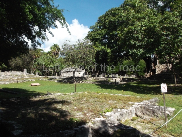
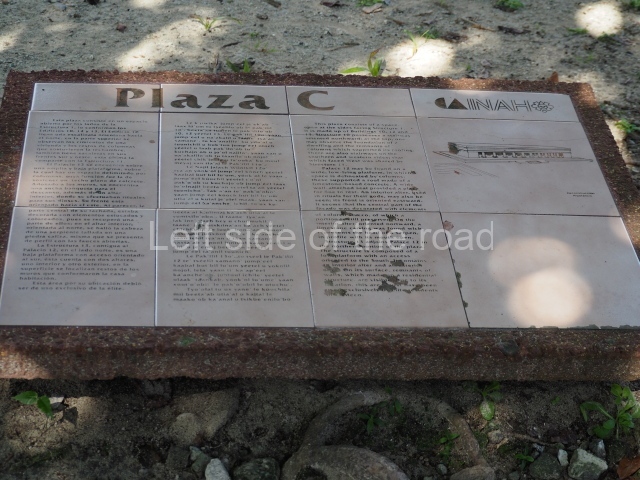
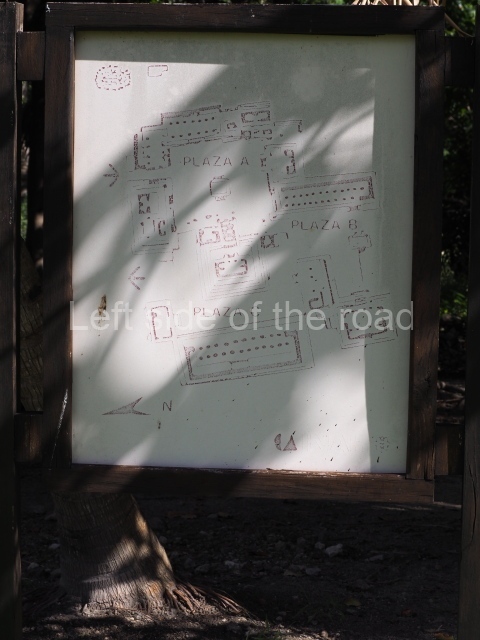
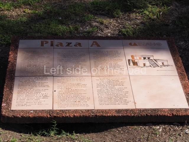
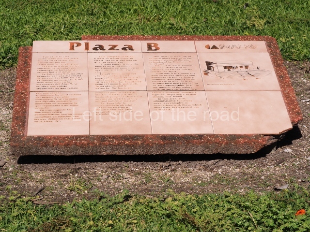
1. Plaza A; 2. Plaza B; 3. Plaza C; 4. Plaza D.

How to get there:

There are 4 or 5 buses, each way, which do the run from Xpuil and Escarcega, passing through the settlement of Conhaus. The approach road to the site is to the west of Conhaus. Then there’s a just under three kilometre walk to the site.

GPS:

18d 33′ 42″ N

89d 57′ 06″

Entrance:

M$70

More on the Maya

Cerros – Belize

Cerros

Cerros

More on the Maya

Cerros – Belize

Location

Situated on the edge of Corozal Bay, this is a relatively small site by Maya standards. Viewed from the city of Corozal, it creates the impression of a hill (cerro, in Spanish) rising above the surrounding vegetation. It is located inside the Cerro Maya Archaeological Reserve, which encompasses over 50 acres (52.62 hectares). The site is composed of three architectural complexes, with various plazas flanked by pyramidal structures. Two of these pyramids have facades adorned with masks rising to between 2 m and 4 m in height. The site can be reached by boat from Corozal and then a short walk. It is also possible to reach it by car. The site has a restroom and a small visitor centre.

History of the explorations

Thomas Gann was one of the first to recognise the place as an archaeological site, although it was only registered with the Belize Institute of Archaeology in 1969, when Peter Schmidt and Joseph O. Palacio visited it. The land on which it is situated was purchased by Metroplex Properties, which created the not-for-profit Cerro Maya Foundation for the purposes of excavating, consolidating and rebuilding the ceremonial precinct in order to attract tourists. The foundation’s plans included a research centre, a site museum and a hotel and pool. In the event, the foundation went bankrupt and the large-scale development of the site was abandoned. Cerros was mapped, excavated and partially excavated between 1973 and 1979 by David Freidel from the Southern Methodist University (SMU). Freidel channelled his energies into the ceremonial precinct and the importance of the site as a trading centre. In 1983, Cathy Crane, also from SMU, studied the ancient canal and associated structures in search of pollen and other organic remains. She was followed in the 1990s by Debra Walker of Florida International University, who conducted the Cerros Cooperative Development Project (CCADP). Recently, the Institute of Archaeology has taken over the site and made reproductions of the masks.

Pre-Hispanic history

What makes this site special is that the majority of its visible architecture corresponds to the Late Preclassic. Although various re-modellings were conducted during the Classic period, the most important constructions data from the Late Preclassic. More recent materials have been found, but these possibly date from colonisation during the Terminal Classic rather than to a permanent occupation. Cerros experienced its heyday between 50 BC and AD 100, during the Postclassic, although it was a very important site as early as 400 BC.

Site description

Situated in a strategic location for maritime trade, the site may well have been involved from a very early date in the importation of jade and obsidian from the Guatemala Highlands and the exportation of flint artefacts to Colha. Located just a few kilometres to the south of Cerros, Colha possessed flint of the finest quality. Its raw materials and artefacts were greatly esteemed and the site was exploited from the Palaeo Indian age to the Postclassic. However, Colha has not been included in this guide as it is not open to the public; its mounds are privately owned and as there are no road signs it is virtually impossible to find. There is evidence to suggest that Cerros had trade links with the north coast of the Yucatan peninsula and with the highlands of Guatemala and El Salvador.

The proximity of the sea has eroded two large structures, one of which is Structure 5C-2nd, which had stucco masks on its facade. The Belize Institute of Archaeology has made replicas and the originals have been covered to protect them. Structure 5C lies at the northern tip of the site and is the closest to the sea. Situated south-east of this is Structure 4B, the tallest construction at Cerros (rising 22 m above the plaza). These structures have been consolidated and it is worth climbing to the top of 4B to admire the scenery and view some of the exposed walls of the temple. In the main part of the site, buildings 3, 4B, 5C and 6B can all be climbed. The plazas gradually ascend in height from south to the north, and it is a pleasant walk amid the vegetation with handsome vistas of the sea. Cerros has three ball courts, buildings for public functions, temples and a canal over one kilometre in length that belonged to a system of raised fields and runs along the south and east sides of the main part of the site. Part of the canal has been excavated. Altogether, 103 constructions have been recorded around the perimeter, including residential structures as well as ceremonial and public buildings.

From: ‘The Maya: an architectural and landscape guide’, produced jointly by the Junta de Andulacia and the Universidad Autonoma de Mexico, 2010, pp266-267.

How to get there;

This is not easy as there is no regular public transport. There is supposed to be a boat route from Corozal but this is expensive and intermittent. At the moment there major construction work is taking place on the road from Corozal to Sarteneja. Once this is completed (no date) that will almost certainly entail better road transport opportunities. However, this will still entail a road walk of 3kms or so.

Entrance;

B$10

More on the Maya

Santa Rita Corozal – Belize

Santa Rita Corozal

Santa Rita Corozal

More on the Maya

Santa Rita Corozal – Belize

Location

Situated in a strategic position on a major trading route along the Caribbean coast and close to the Hondo and New rivers, Santa Rita enjoyed easy connections with inland sites such as Lamanai, La Milpa and other cities in Peten. Its main products were achiote, honey, vanilla and a variety of fish and molluscs, and it is said to have been particularly famous for the quality of its cacao. Objects imported from distant places have also been found, such as turquoise (which could have come from Peru or the south-west of the United States), Plumbate ceramics (Guatemala), objects of copper and gold of varying provenances and gold ear ornaments possibly of Mexican origin (central Mexico). All of this reinforces the hypothesis that Santa Rita was an important port of trade. Much of the site has been destroyed by the development of the present-day Corozal; its structures have been dismantled and many of the stones from the old buildings have been incorporated into streets, plinths and modern constructions. Originally, the site extended much further to the north and south-west of Corozal. Nowadays, it is situated on the outskirts of the city, on the edge of the Northern Highway leading from Belize City to the Mexican border. It can be reached by car or public transport. From Corozal, head northwest along the highway and after a kilometre or so you will see a statue where the road veers to the right. Take the next turn left and the entrance to Structure 7 is a few metres beyond Hennessy Restaurant.

History of the explorations

At the beginning of the 20th century, Thomas Gann made a rough map of the site, conducted several excavations and discovered a Mixteca-style (from Oaxaca) mural in Structure 1. Nowadays nothing of this mural remains and Gann was unable to complete his record as not long after its discovery it was destroyed by the local inhabitants. However, Gann’s drawings and detailed record have survived. The mural corresponds to the Postclassic period and has been dated to between AD 1350 and 1500. Similar murals were found in Structure 16 at Tulum (Quintana Roo, Mexico). In 1979 Structure 1 was bulldozed. At the beginning of the 1970s, Ernestene Green, Duncan C. Pring and Raymond V. Sidrys conducted minor excavations. Subsequently, between 1979 and 1985, Diane and Arlen Chase from the University of Central Florida led the Corozal Postclassic Project, which involved the excavation and consolidation of Structure 7. What remains of the site today, the central part, is situated inside an archaeological reserve.

Pre-Hispanic history

Although Santa Rita is best known for its importance during the Postclassic period, when the site experienced its heyday, the earliest settlers arrived around 1000 BC. Ceramics from the Swasey phase – the oldest in the Mayan lowlands – have been found. Santa Rita boasts one of the longest sequences of occupation in Belize, commencing in the Middle Preclassic and culminating in the Postclassic and even the period of contact with the Spaniards. It was abandoned towards the end of the 16th century. The archaeological area of Santa Rita is widely believed to have been the famous city of Chetumal (Chactemal province), which is mentioned in sources from the 16th century and formed part of the League of Mayapan. When the Spaniards arrived it was an important port. Its strategic position appealed to the conquerors, who decided to establish a base there. In 1531 Francisco Montejo sent Alonso Davila to take control of the site, but on his arrival he discovered the city to have been abandoned. Davila established his base and called it Villa Real. The supposed abandonment of Santa Rita was in fact part of a Maya strategy, and the original occupants launched a counter-attack and recovered Chetumal. And then the strangest thing occurred: Nachancan, the governor of the city, had a Spanish son-in-law, Gonzalo Guerrero, the survivor of a shipwreck off the south coast of Jamaica in 1511. Guerrero is regarded as the ‘father of the mestizos’ because he married a Maya woman, had children with her and adopted the local customs. It is said that he eventually became Nachancan’s military advisor and participated in various battles against the Spanish. Eighteen months later, the Maya forced the Spanish to retreat south, to Honduras.

Site description

The only interesting building is Structure 7, the tallest and largest construction on the entire site. Its facade faces south, overlooking a plaza surrounded by mounds. It has various sub-structures, the most notable of which is the third one, a building with several rooms – three in a row and one on each side. This sub-structure was the only construction phase whose architecture was found in a relatively good state of preservation when the building was excavated, and it was therefore left visible and consolidated to accommodate visits by the public. The earliest part of the structure dates from the Late Preclassic, but it was subsequently remodelled and expanded until the Late Classic. It continued to be used during the Early Postclassic and an intrusive burial dating from the Late Postclassic was found on the stairway. The third sub-structure corresponds to the Early Classic and beneath the floor of the central room the burial of an elderly female was found, along with a wide variety of objects. The slightly later burial of an adult male was found in a tomb below the room at the front of the building. Due to the elaborate grave goods found, including a jadeite and shell mask, researchers believe that the person interred was an important ruler. During its final construction phase (Late Classic), the building stood approximately 17 m high. As a coastal site, it is surrounded by low rainforest and the land in the central part is not as fertile as in other areas to the north, near the River Hondo, where the Maya created raised fields to improve their farming productivity. Due to its location within the city of Corozal, the site can be easily accessed by tourists. Meanwhile, its situation by the sea creates an extraordinarily scenic setting.

From: ‘The Maya: an architectural and landscape guide’, produced jointly by the Junta de Andulacia and the Universidad Autonoma de Mexico, 2010, pp264-266.

How to get there:

From Corozal. Follow the road from the bus station that heads towards the Mexican border until you come to a roundasbout. Continue straight ahead and take the first road on the right, then a left and the site entrance is right in front of you.

GPS:

18d 24’ 08” N

88d 23’ 42” W

Entrance:

B$10

More on the Maya