San Gervasio, Cozumel
Location
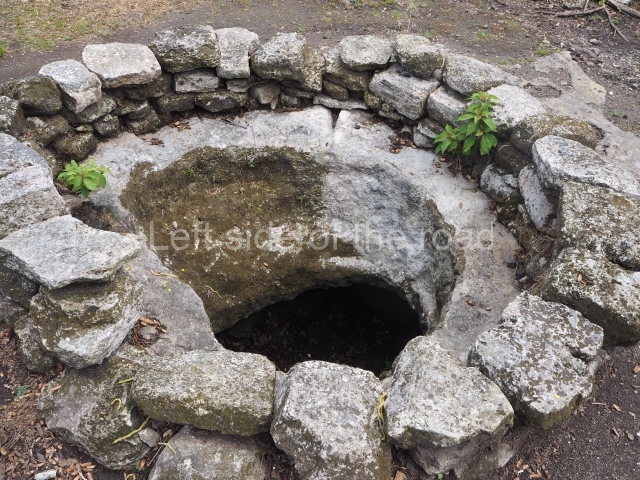
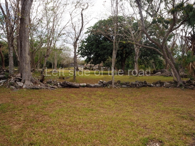
The archaeological area of San Gervasio is situated on the island of Cozumel, or Cuzamil (‘place of swallows’) as it was called in ancient times. The pre-Hispanic settlement lies 7 km north-east of the present-day town of San Miguel de Cozumel and is easily reached by road. The site was built on a natural elevation just under 10 m high and nearby are a few cenotes and aguadas, as well as numerous ak’alches, natural hollows that fill with water in the rainy season. In the 19th century, the site formed part of a livestock ranch owned by a man called Gervasio, from whom it takes its present-day name. According to a reference in the Chilam Balam de Chumayel, the original name of the pre-Hispanic site may have been Tan Tun (place of rocks’).’
Pre-Hispanic history
The earliest traces of occupation correspond to the Late Preclassic, when the communities were grouped into small villages with rudimentary constructions whose inhabitants survived by fishing, hunting and farming. Evidence of this first period can be found at one of the groups at San Gervasio: El Ramonal. In the Early Classic, the population grew and began to produce masonry architecture. By then, the site had probably become a principal civic, administrative and ceremonial centre for the island. In the Late Classic, the site extended its constructions and achieved greater political and religious importance, exerting its influence over other nearby communities. During the Postclassic period, San Gervasio flourished as an important trading centre, mainly due to the existence of a major maritime trade route stretching from Tabasco and Campeche, in the Gulf of Mexico, to Honduras. In terms of its religious importance, it became a mecca for thousands of pilgrims who flocked to the temple of the goddess Ixchel, the region’s oracle, situated on the island. Although we do not know the exact location of the famous temple, San Gervasio is largely held to be the most probable site. In the 16th century, the expedition led by Juan de Grijalva was the first to disembark at the island of Cozumel on 3 May 1518, christening it Santa Cruz. A year later, Hernan Cortes would set foot there. Despite tenacious resistance from the indigenous population, the disintegration of the trade route and epidemics reduced the population. By around 1600, the island had lost its entire population. In 1847, the Maya uprising, known as the Caste War, obliged numerous indigenous peoples to seek refuge in distant places, and the island was gradually repopulated.
Site description
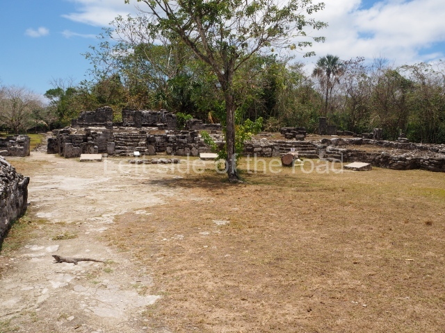
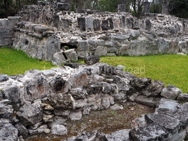
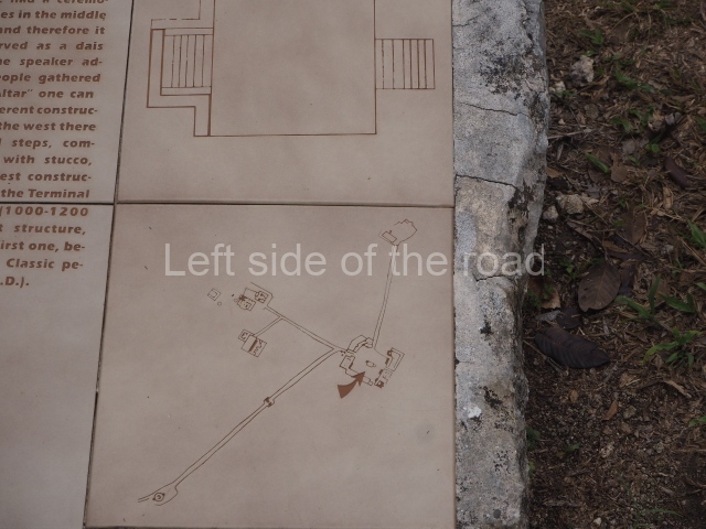
The site covers an area of 3 sq km and is divided into four architectural groups connected by pre-Hispanic causeways or sacbeob.
Manitas (‘little hands’) group.
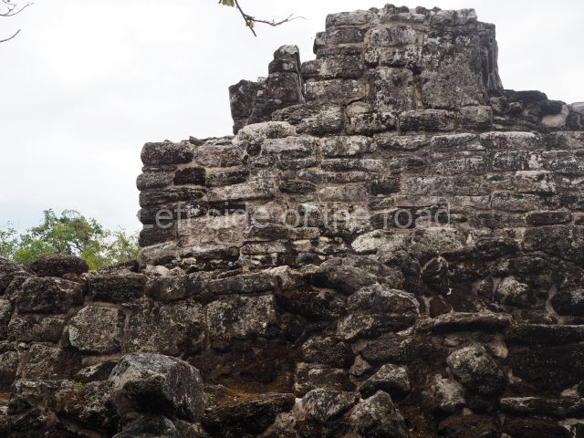
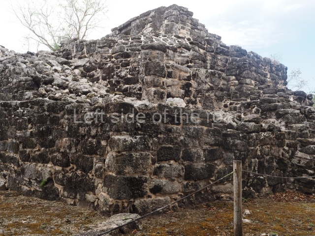
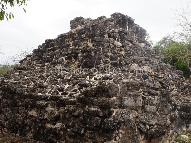
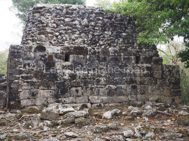
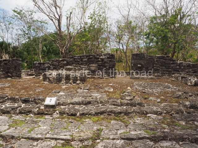
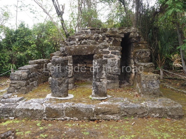
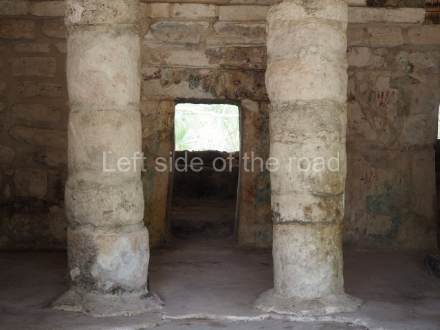
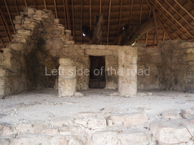
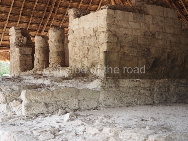
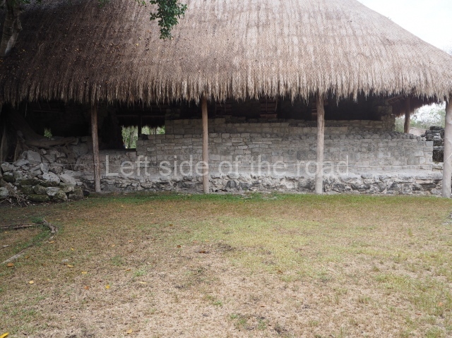
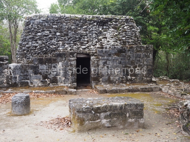
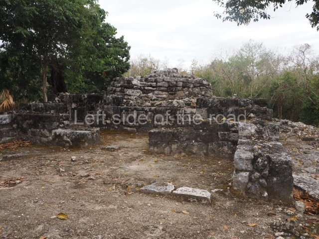
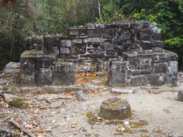
The main building is called Manitas because of the hand imprints on the facade. Designed in the East Coast style, it corresponds to the Postclassic and clearly served a residential function, with two bays and a portico. At the east end of the group is a small ritual temple called Chichan Nah (‘little house’). To the west stands another building, this time with a square, talud-tablero (‘slope-and-panel’) building known as La Tumba, having once contained an elaborate tomb.
Central plaza group.
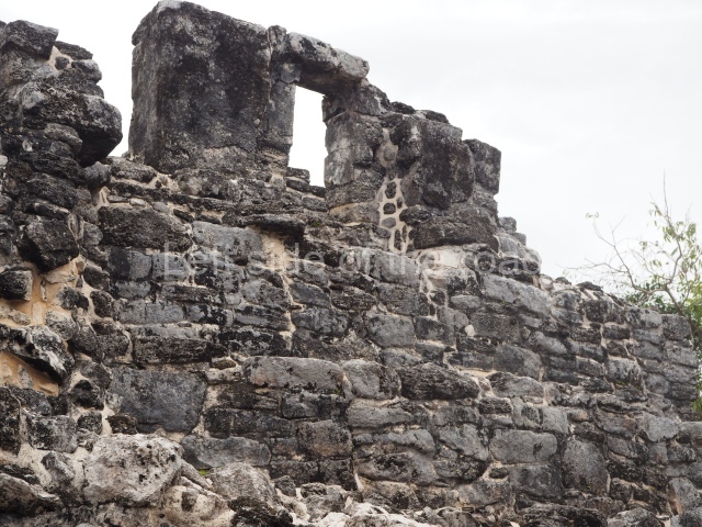
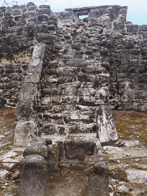
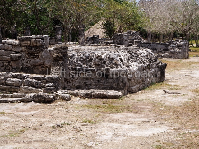
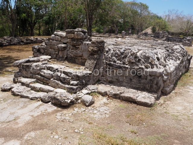
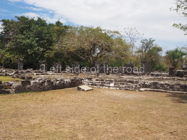
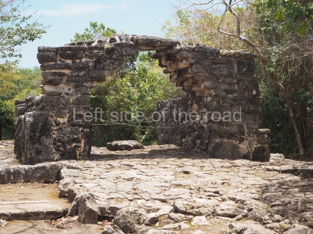
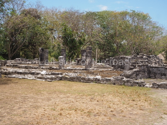
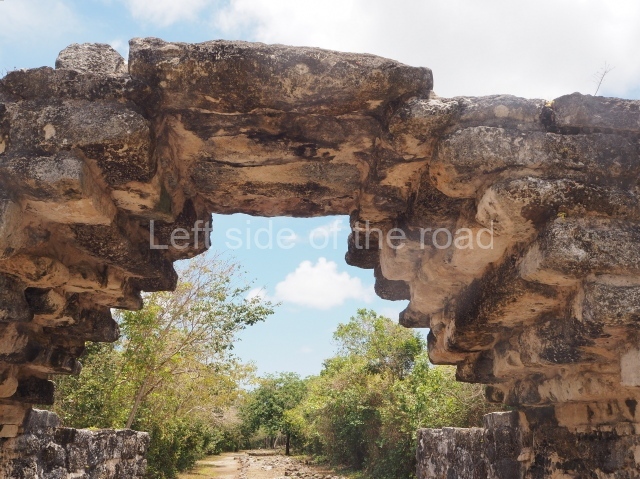
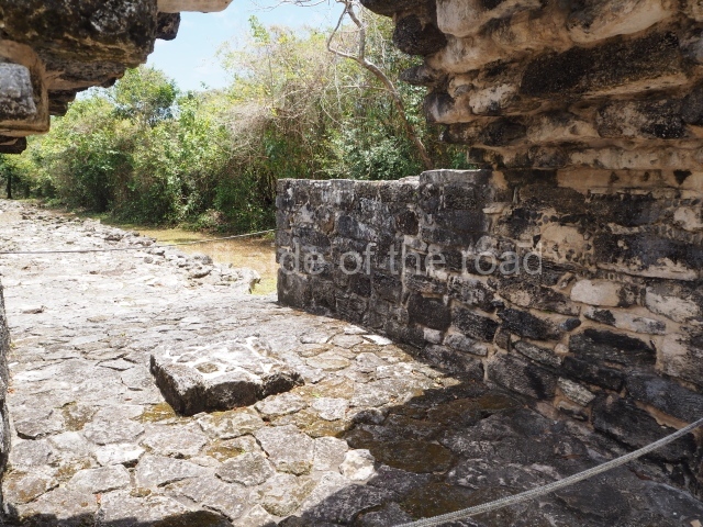
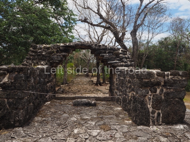
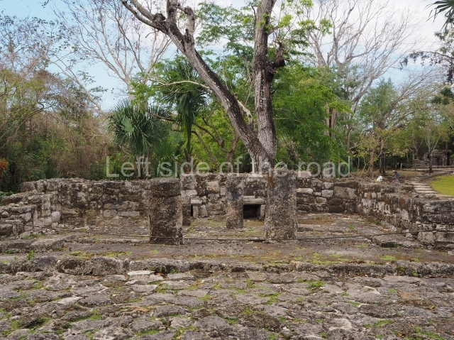
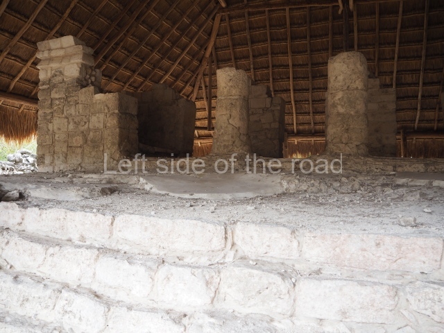
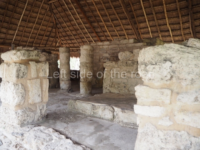
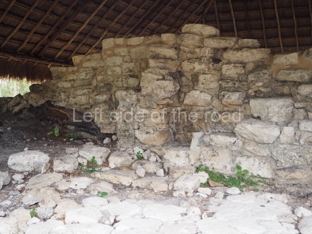
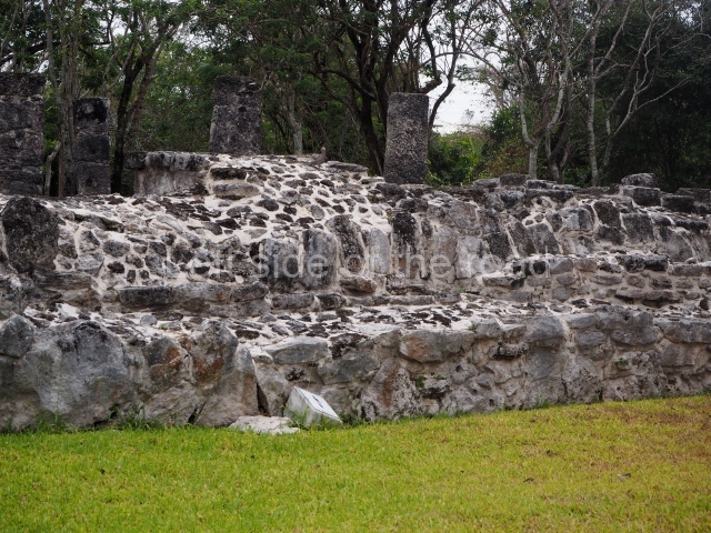
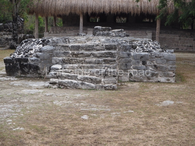
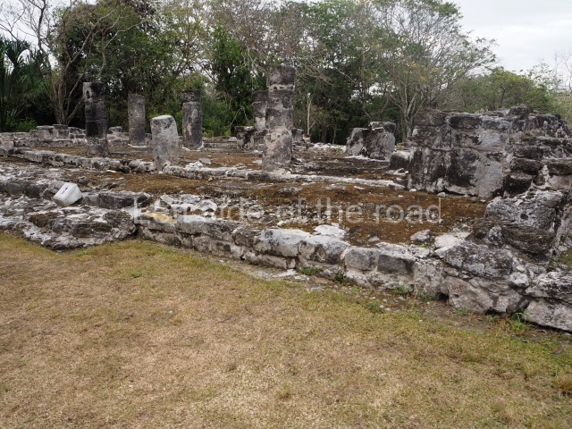
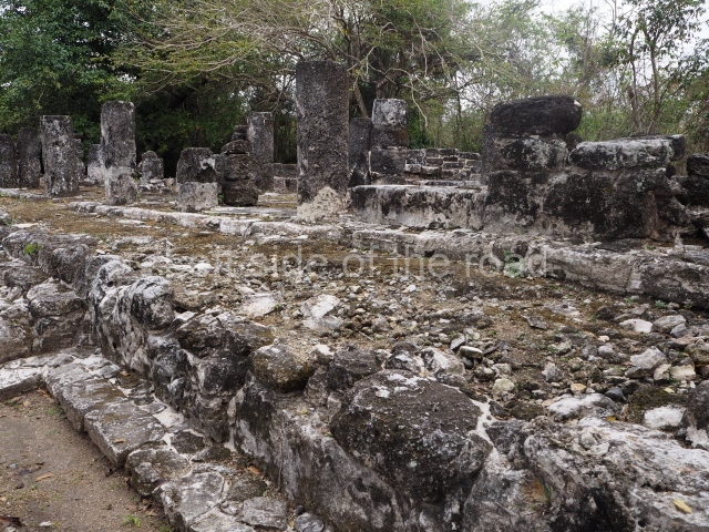
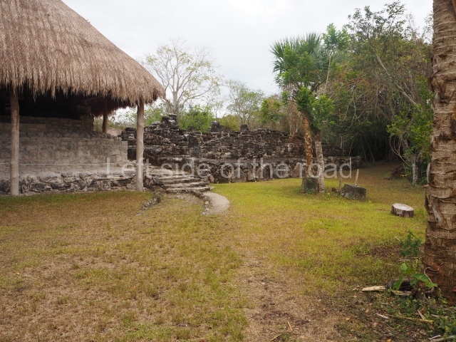
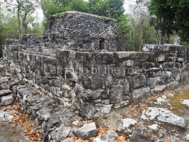
This is situated west of the Manitas Group and comprises ten civic and religious buildings that constituted the core area of the site until it was abandoned. Included among them are the constructions known as the Alamo (‘Poplar’), the Murals, the Palace, the Ossuary and the Pilasters. Three sacbeob commence at this group: one is 75 m long and leads to the Manitas Group; another leads to Punta Molas, 18 km from San Gervasio; the third one leads to the Potrero Group, 117 m away. Situated north-west of this group is a free-standing arch or gateway that defines the main entrance to the site. It was built at the beginning of Sacbe 1, which leads to the site of Punta Molas at the north end of the island. The same causeway also leads to the building known as Nohoch Nah (‘big house’), a temple with traces of mural paint that stands on a platform with stairways.
Bat group.
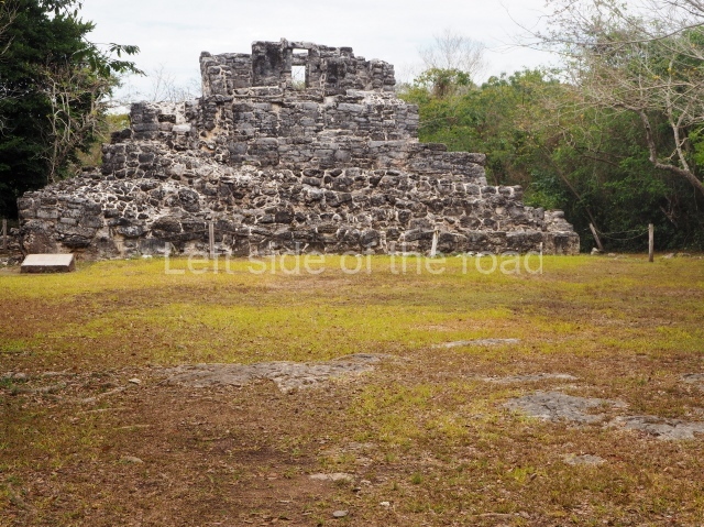
An irregular platform supports five buildings, the best preserved of which corresponds to the Late Classic (AD 600-1000). Its architectural characteristics are reminiscent of the Puuc style in the south-southwest region of Yucatan.
El ramonal group.
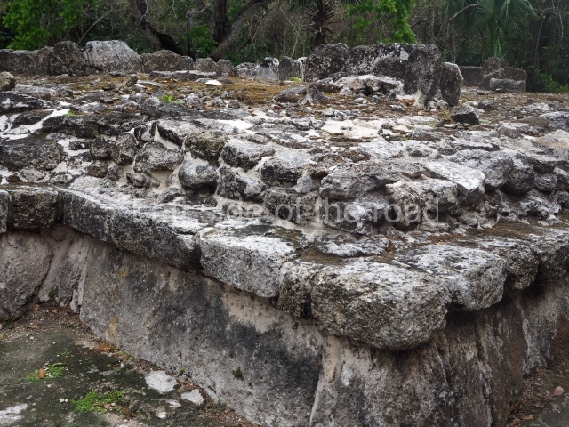
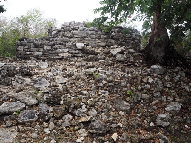
To date, this is believed to be the oldest architectural group at the site. It comprises a platform that once supported several civic buildings and a plaza. The latter is delimited to the south by a second plaza, built at a lower level, which is occupied by elite residences.
Ka’na nah (‘upper house’).
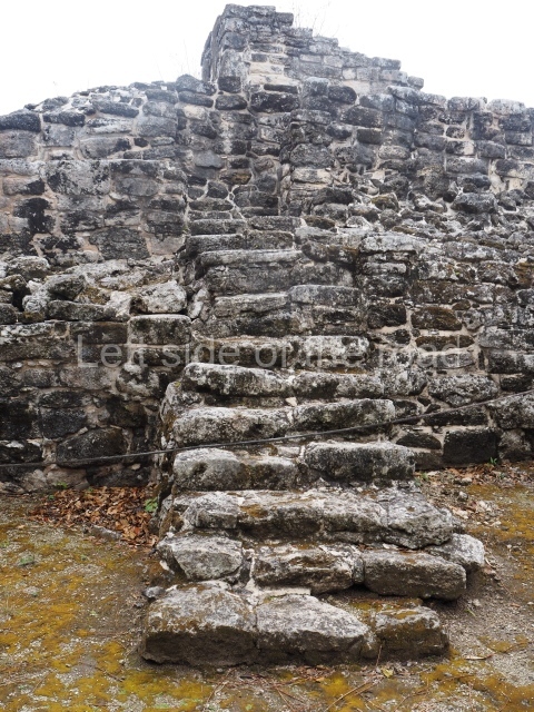
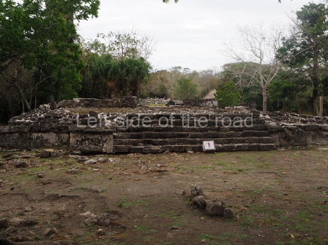
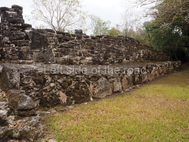
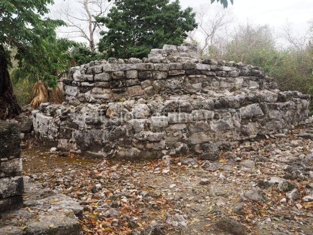
This is situated at the north-west end of the site and is thus called because it adopts the form of a platform with several stepped tiers and a two-chamber temple at the top.
Monuments and ceramics
The ceramic material recovered to date confirms that San Gervasio was occupied continuously and maintained cultural ties throughout its existence with various settlements in the peninsula and other regions in the Maya area. The ceramics from the Early Classic (AD 300-600) reveal links with sites in the north and in the north-east and east of the peninsula. It also had sporadic connections with the Peten-Belize region, despite being at its formative stage during this period. In the Late Classic, it shared the ceramic uniformity that reigned at the time in the north-east of the Yucatan Peninsula, the origin of which was probably the political capital of Coba. The ties with the Peten-Belize region waned considerably. Between AD 1000 and 1200, the Late Classic ceramics were gradually replaced by those of the Chichen Itza region, demonstrating the degree of the cultural and trading influence of the latter site over the east coast of Yucatan during this period. In the Postclassic, there was a notable uniformity throughout eastern Yucatan, characterised by locally made ceramics. San Gervasio was involved in the transition that affected sites such as El Cuyo on the north-east coast of Yucatan and Chunyaxche (Muyil) on the centre-north coast of Quintana Roo. Some authors have suggested that this uniformity was the result of the political and commercial integration between the governors in the region and other more distant regions such as La Chontalpa, in the states of Tabasco and Campeche. The ceramics from this final period continued to be used at San Gervasio until the 16th century, coexisting alongside pottery brought from the Old World during and after the Spanish Conquest.
Importance and relations
Of the 35 pre-Hispanic settlements recorded on the island, San Gervasio is the largest in size and importance and is regarded as a strategic Maya site during the Postclassic period. In its day, it was an important trading and political centre not only on the island but possibly also in the cultural region known as the East Coast. At its peak, Cozumel maintained ties with the largest political centres of the day, such as Mayapan, and with all the sites on the east coast of the Yucatan Peninsula.
Jose Manuel Ochoa Rodriguez
From: ‘The Maya: an architectural and landscape guide’, produced jointly by the Junta de Andulacia and the Universidad Autonoma de Mexico, 2010, pp 440-442.
Getting there:
There’s no real public transport option so if you don’t have your own transport then it’s hiring a bike or a motor scooter (which needs a credit card as a deposit). I got my push bile from Best Bikes, to be found on 10th Avenue, No. 14, between Avenue Benito Juarez and Calle 2 North, cost M$250 for the day.
It’s then a straightforward route out of town east on Avenue Benito Juarez for about seven kilometres and then a left turn along the entrance road to the site for another seven or so kilometres.
Entrance:
M$216


