Walking from Valbona to Thethi in north-eastern Albania
Two attempts at the walk between Valbona and Thethi in north-eastern Albania and still don’t make it. The reasons why not and perhaps the reasons why the next time.
It’s now official – I’m a failure. In fact, a failure twice over. One of the set plans I had before coming out here was to do a circular route in the mountains of north Albania. This would have involved various forms of getting from A to B, including a boat trip, a couple of furgon (minibus) trips and, crucially, a stretch where I would have to do all the hard work and climb up, and back down, a mountain.
That’s was the part where there was no alternative way other than foot and by failing to achieve that goal was unable to complete the circuit.
This was all intended to take place in the valleys of Valbona and Thethi in the north-east of the country, areas very close to the border with Montenegro. I had been to this area before and knew, more or less, what to expect but the challenge became too great.
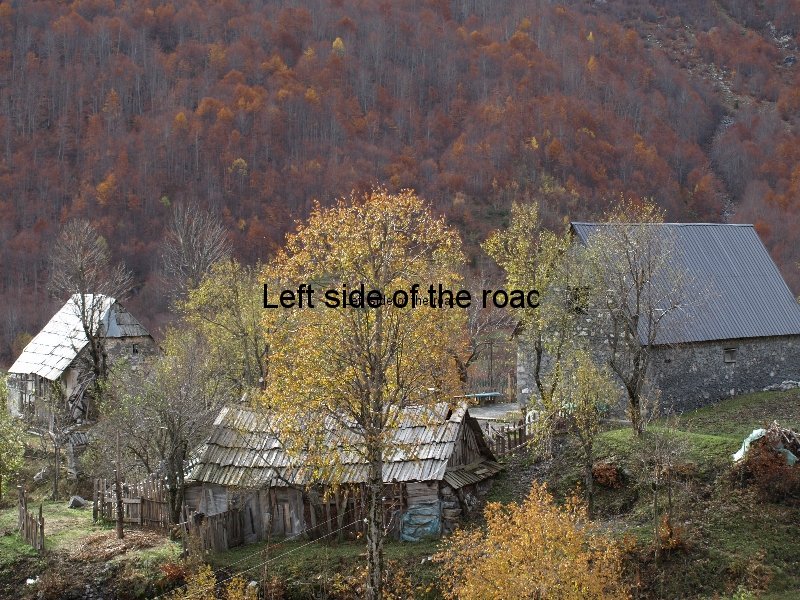
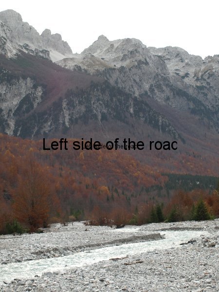
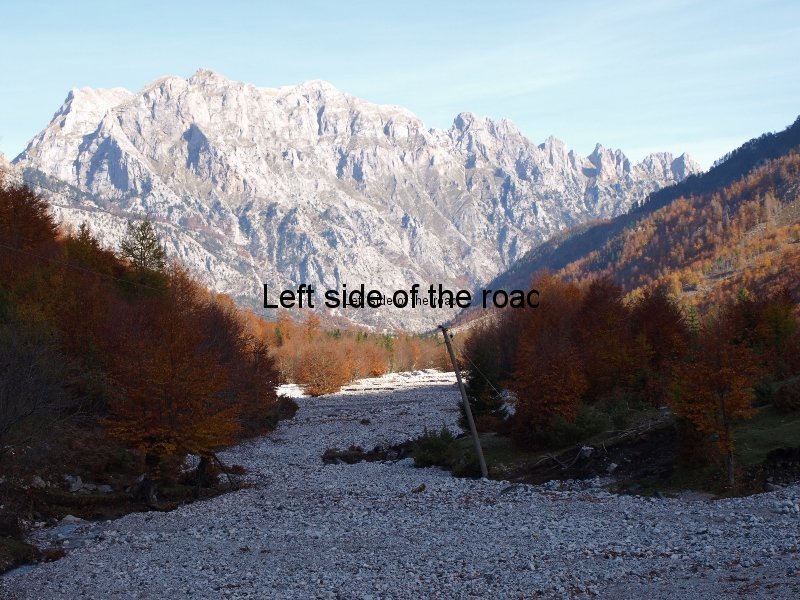
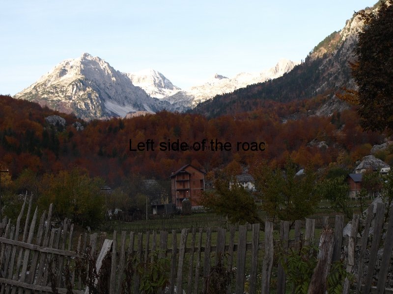
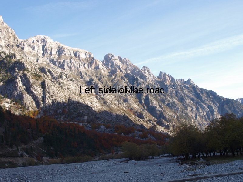
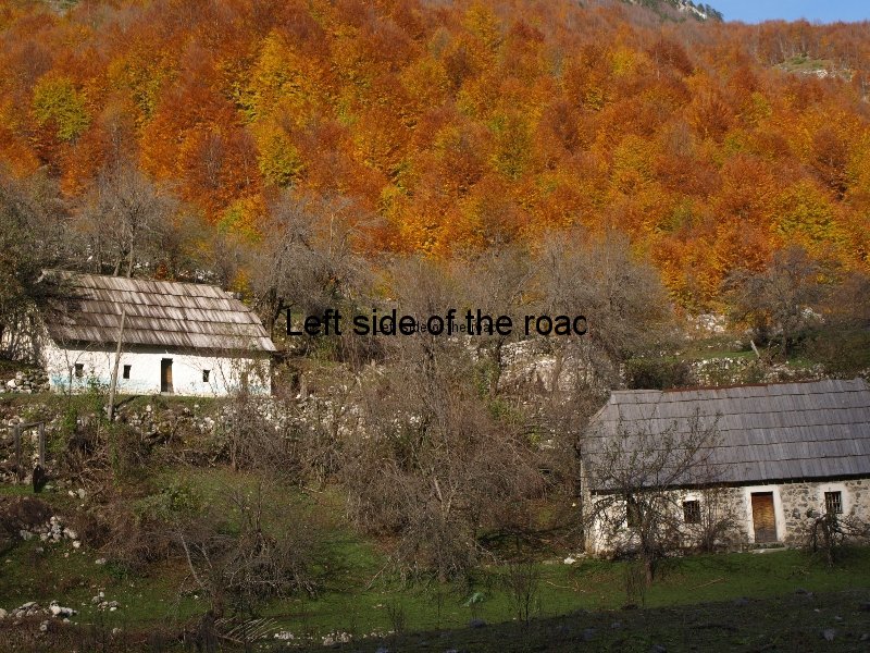
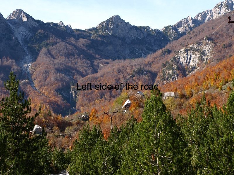
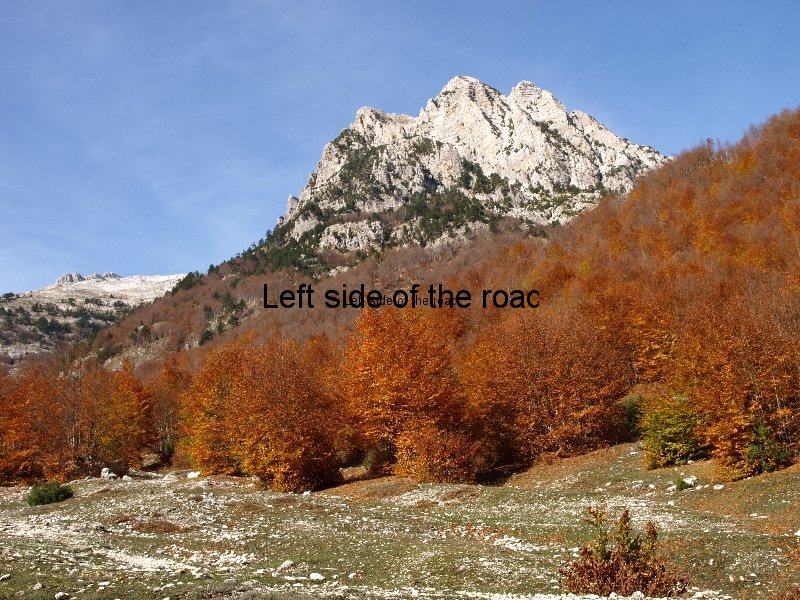
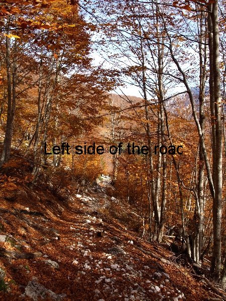
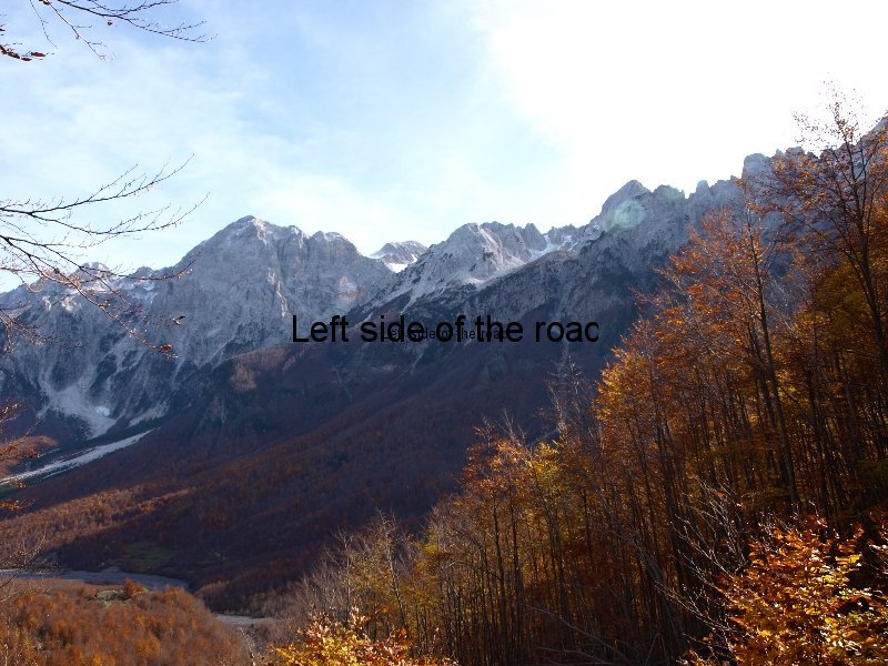
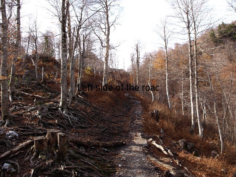
The hills and mountains in this area are incredibly beautiful and especially so at this time of year as the shades of green change to shades of red, gold and brown. This area is dominated by beech trees but there are also varieties of pines and conifers as well as many plants new to me. There are supposed to more than 3000 types of plant that grow in Albania, some of them being unique to the country. This is understandable as you travel around and see the changes in the terrain, ranging as it does from Mediterranean beaches to high, stark, snow bound peaks.
It was through the latter I would have to walk in order to get from the small village of Valbona to the even smaller village of Thethi. This would entail a walk of about 14 kilometres, a climb of 815m and a descent of 1000m (starting from a point at just under a 1000m high) so altitude starts to play a part.
My problems started the day I arrived. Incorrect information about furgon departure times meant that I decided to hitch. That has mixed fortunes in Albania which I want to write about later but suffice to say that I ended up getting a lift which I had to pay for, not a lot but thought it better to get to Valbona (thinking I’d missed the minibus) rather than be stranded in Barjam Currie – which is not the most exciting place in the country.
If I had taken the furgon (which left at 16.00 when I was told 14.00) I would have arrived at the literal end of the road and the beginning of the path over the mountains. As it was I was dropped off at a place that was as far as it was possible to be from the trail head. If only I knew then what I know now. There was no problem with the place I stayed in, apart from the fact that after arriving there, a guest house which operates like the British B+B, I was unable to communicate with the old Albanian woman who prepared my meals. So I left the next morning with the intention of going to Thethi not really sure from where I was starting.
This meant a long road walk, which was easy in that the climb was reasonably gentle, and it was cool as even thought the sun was up, and it would get hot later, the high mountains meant that the sun only really shone in the valley from late morning to early afternoon. But it was long, about 8 kilometres. So I ended up walking for the best part of two hours before even starting the off-road trek.
(If anyone reading this considers doing this walk make sure to arrange a lift of some kind to the end of the mettled road if you stay in any of the guest houses that are spread out over a long distance along the valley.)
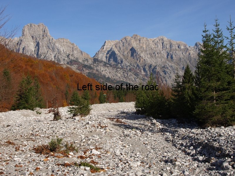
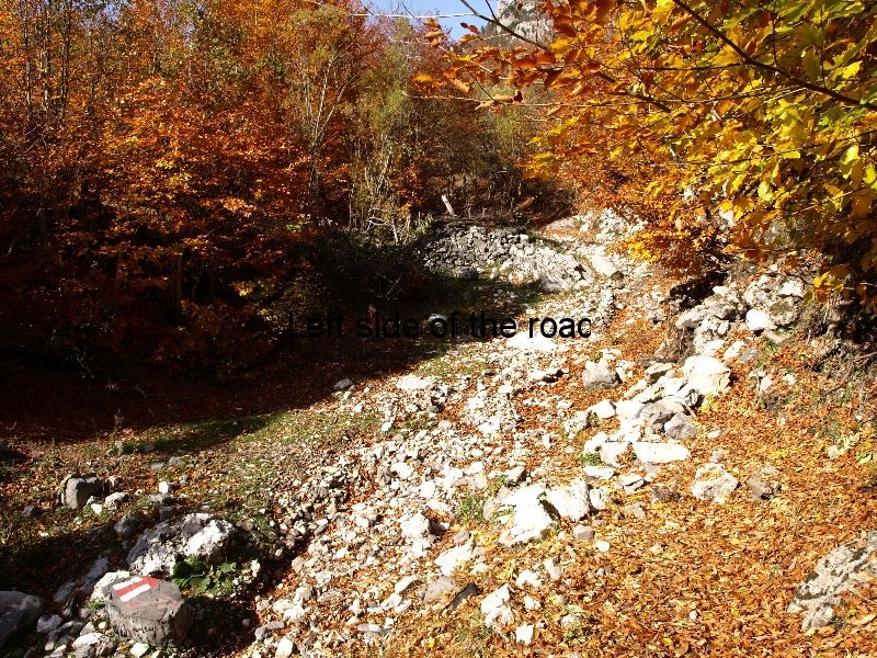
The next problem was finding the beginning of the route. Now in all the years I’ve been walking one of the matters I’ve never been able to understand is why waymarks are so badly placed at the beginning of a route. I don’t know if this intentional – there’s a growing business in guided walks in the area and I’ve been in some areas where local guides don’t like waymarking as it allows for independent travel – but where it was needed it was lacking. And if you get it wrong at the beginning life becomes difficult.
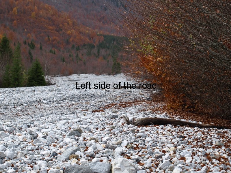
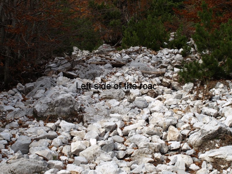
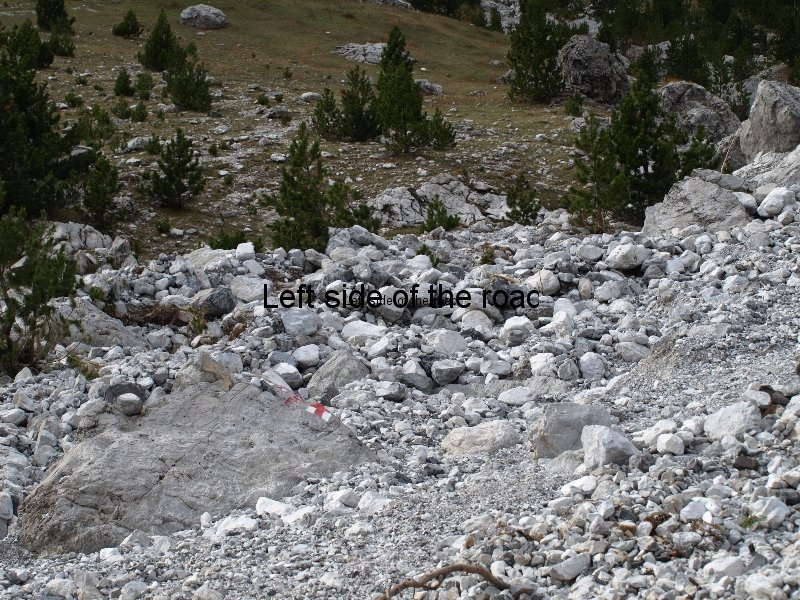
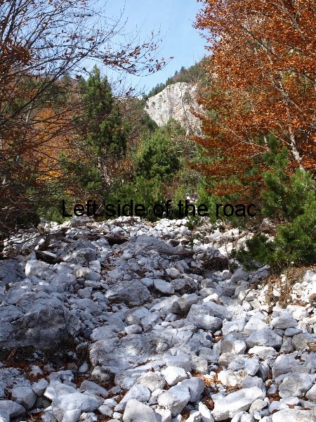
I asked a local who could speak English and he pointed up the dry river bed and said ‘There’. Where? I thought but didn’t say. The outcome of this was that I spent more time than necessary trying to pick up the marked route as I wasn’t going to start climbing 800m if I wasn’t on the correct path. The result was more time wasted and more energy used up. (I’ll be writing a separate post describing the beginning and what I did of this walk, with the intention of giving a clear indication of what a walker could expect in making this trip.)
And that started to take its toll within an hour or so. I debated aborting until the next day but kept on putting off the decision until I had reached a coll at just over 1400m high. At that point I decided that I just didn’t have the energy necessary to make the final 400m and then get down the other side, on terrain I did not know. So retreated down the track where I did know what to expect and got back to the bar/hotel at the trail head.
Why the first failure? Getting old and not accepting it? A little bit. Not as fit as I thought I was? A contributory factor. But ended up deciding that the reason was the extra, but ultimately pointless, waste of time and energy before I had even started to make the big climb and the fact that the day before a not inconsiderable amount of alcohol had been placed on the table in front of me.
Next day would be different. I knew where the it started and was at the beginning of the real walk. Tomorrow I would get to Thethi.
But I didn’t. I got higher, to just under 1600m, but still about 250m short of the Qafa e Valbones, the highest point on the path. When I saw what that entailed I just lost heart and it wasn’t long before I was again in retreat.
I wasn’t going to try a third time this year as I sensed that the weather was starting to change at the top and although I had two almost perfect days for walking I thought I might be pushing it to expect the same on the third day.
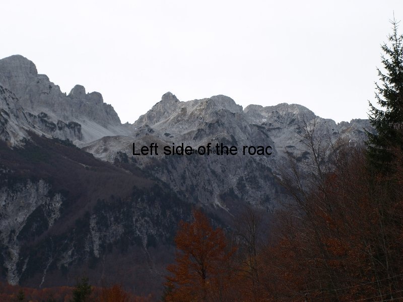
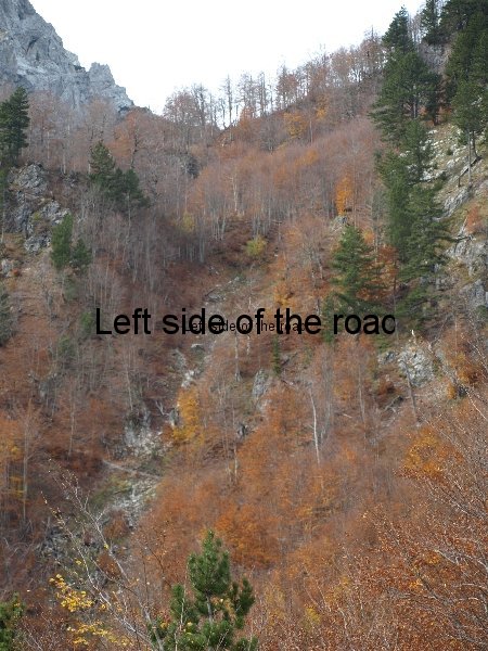
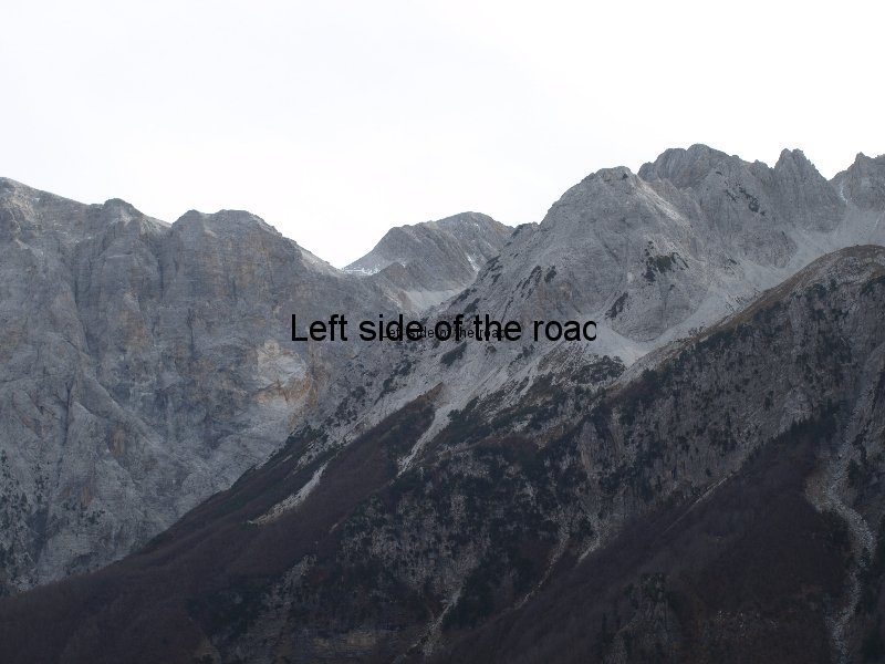
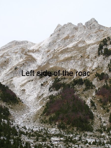
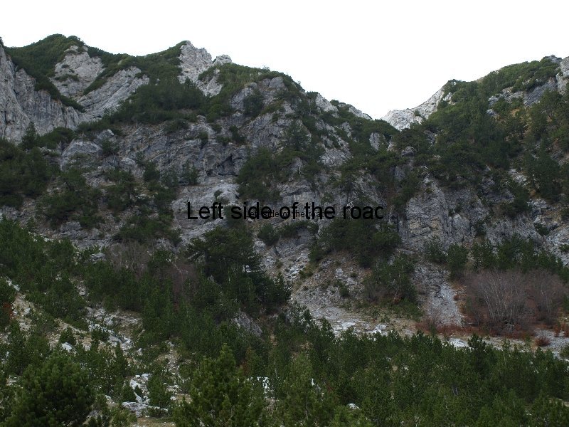
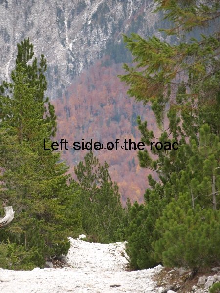
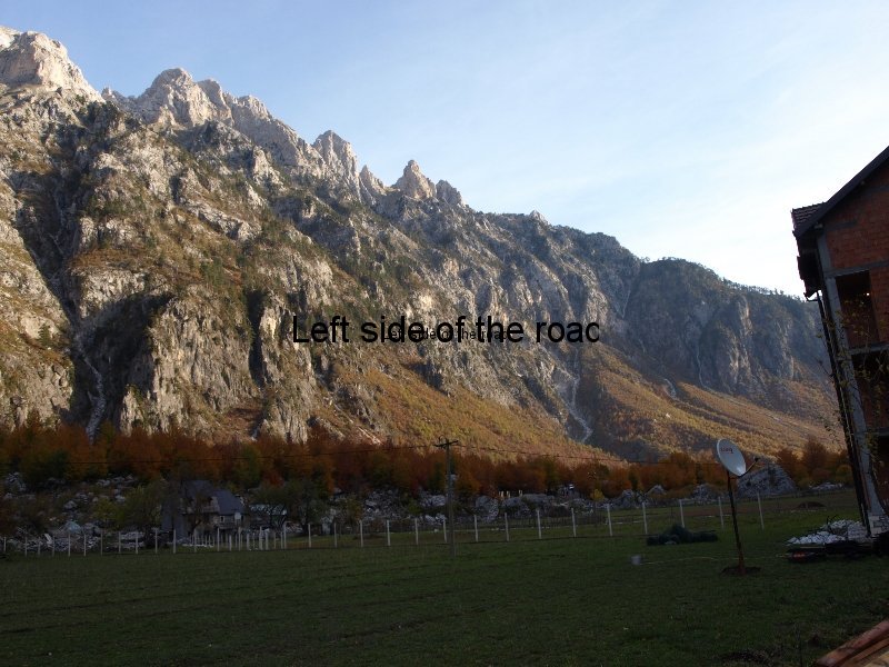
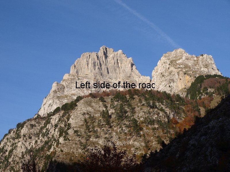
I also thought I knew why I had failed twice. Some of the earlier reasons still had some resonance but now added another, my bag was too heavy. Looking up at the cliff face I had to climb (the photo at the top of the post shows the coll towards the right of the picture) I was sure that I could have got up it, but not with the weight I was carrying.
The trouble was technology. I had pared things down to a minimum with what I thought I would need in the event of the weather turning quickly against me but my camera and computer were just too much. A computer? Yes, a small laptop. So why was I climbing up a mountain with a computer. I could give reasons but they would only sound like lame excuses. Surely only an idiot goes up a mountain carrying a computer. So probably the real reason I didn’t make the round trip to Thethi was idiocy.
Did I bottle out too soon? Probably – I could have just tried to take it very, very steady. Could I have made it with a little bit more will power? Possibly. Do I regret not making it? No, not at all. Don’t need to prove anything to myself or anyone else and saw no reason to do something that was ceasing to be a pleasure and becoming a chore.
Knowing what I know now I’ll do it next year. (But it didn’t happen. Never got around to doing the walk, although I was in Albania on a number of occasions subsequently.)


