Xunantunich – Belize
Location
The name of the site, recently christened by the inhabitants of the nearby town of San Jose Sucotz in the Cayo district, means ‘stone lady’. The site was the civic-ceremonial centre of the regional capital and controlled the important trade route between the River Mopan and the River Belize, the east coast of the Yucatan Peninsula and the Gulf of Honduras. The settlement was established on a hilltop near the river. The developed section consists of four main groups, AD, with the largest pyramids – possibly platforms for temples – situated in Group A; Groups B, C and D correspond to elite residential groups. The Xunantunich ruins are situated on the tourist trail between Belize and the Tikal ruins in Guatemala. The site is located on the edge of the Western Highway, opposite the Maya town of San Jose Sucotz and the beginning of the River Mopan rapids. Access to the site is via the river on a small human-powered ferry. The protected area of the archaeological site has become the only patch of rainforest, due to the excessive felling of trees for cultivation and livestock breeding in this section of the Maya Mountain foothills. The site has a small museum and rest rooms for visitors. On the banks of the River Mopan are several small establishments selling brightly-coloured Maya handicrafts.
Site description
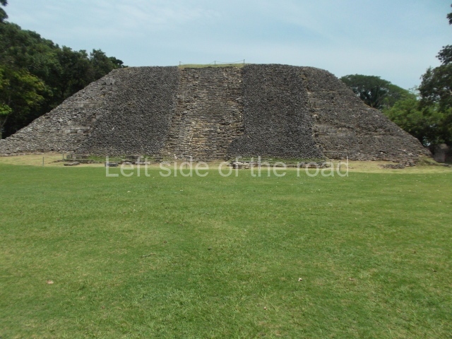
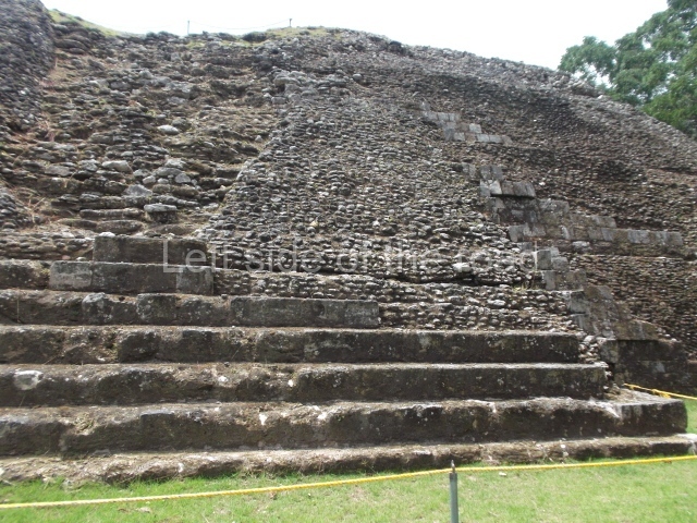
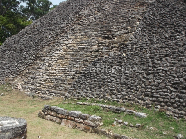
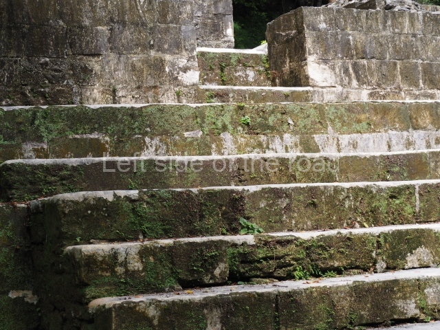
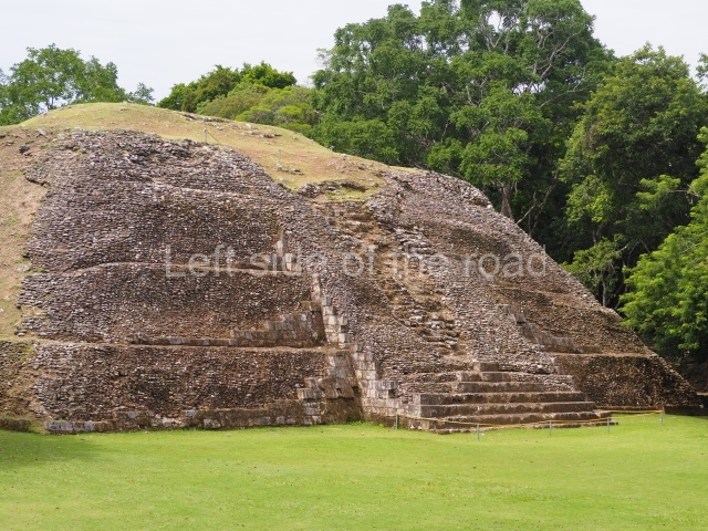
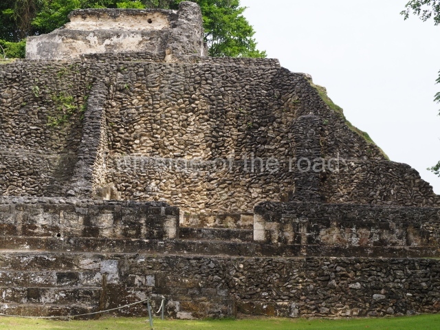
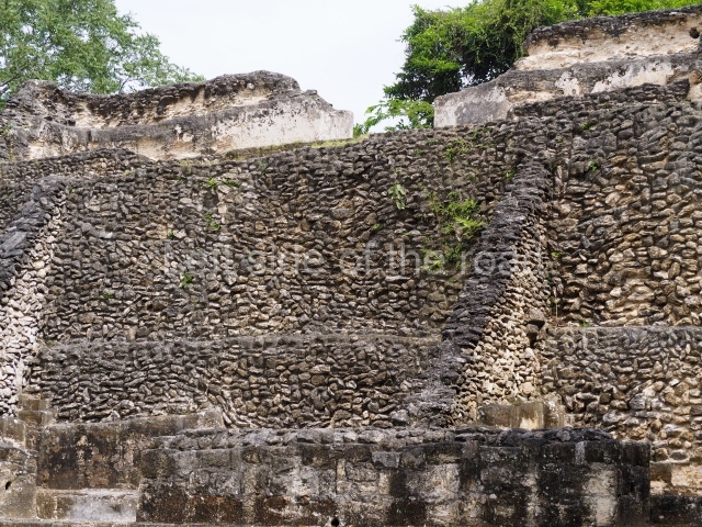
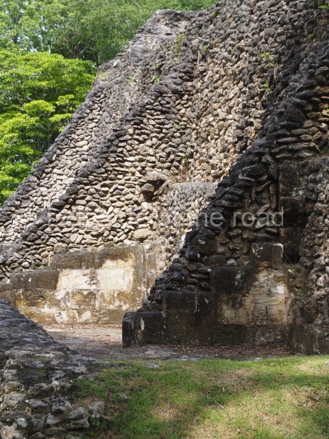
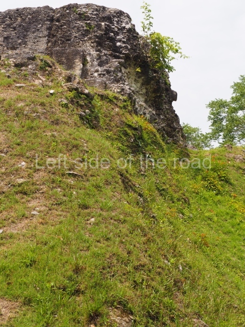
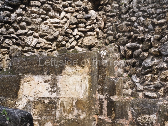
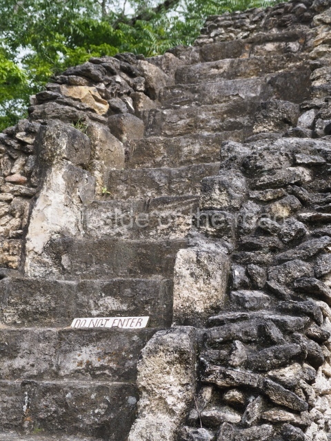
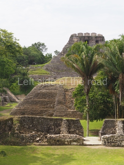
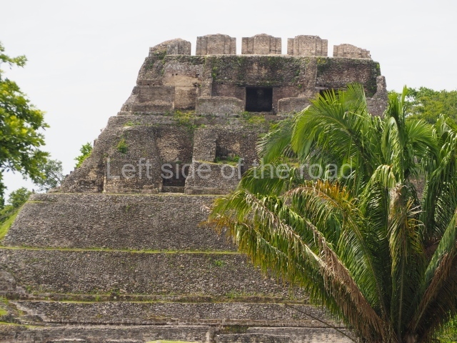
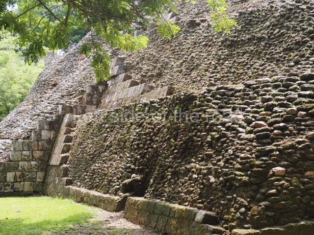
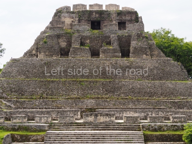
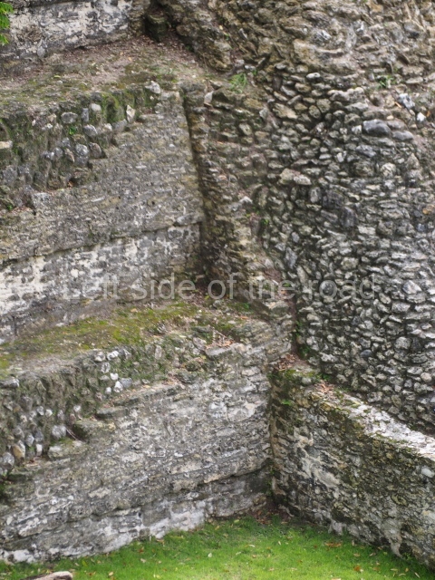
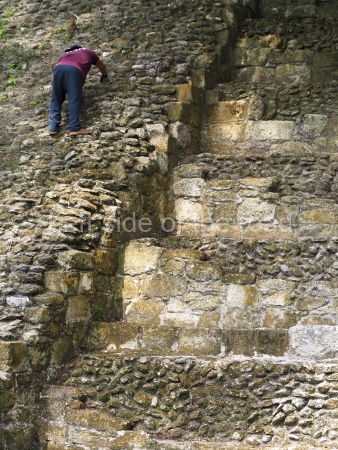
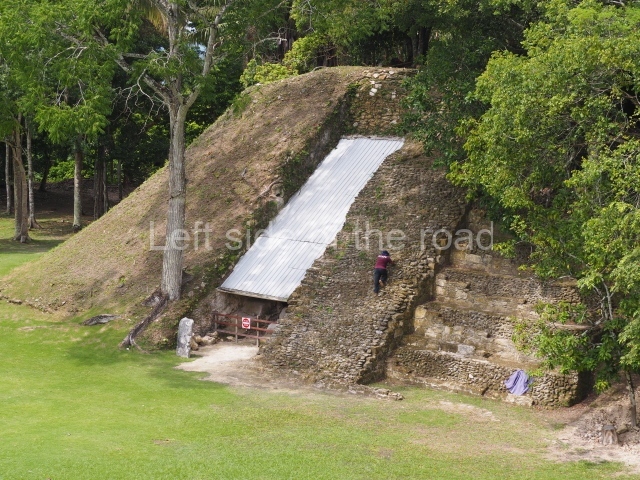
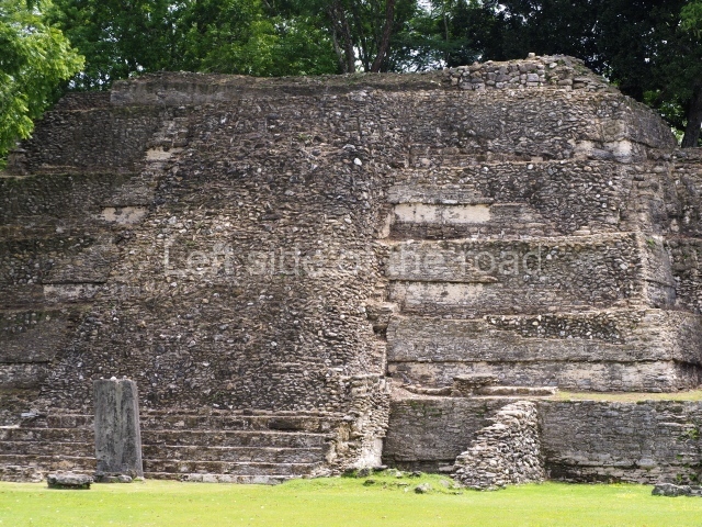
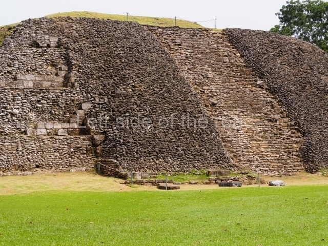
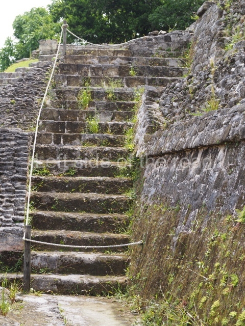
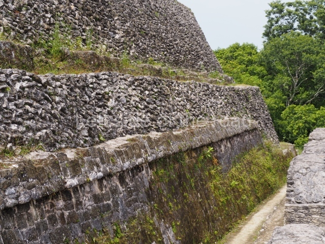
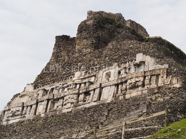
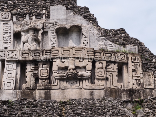
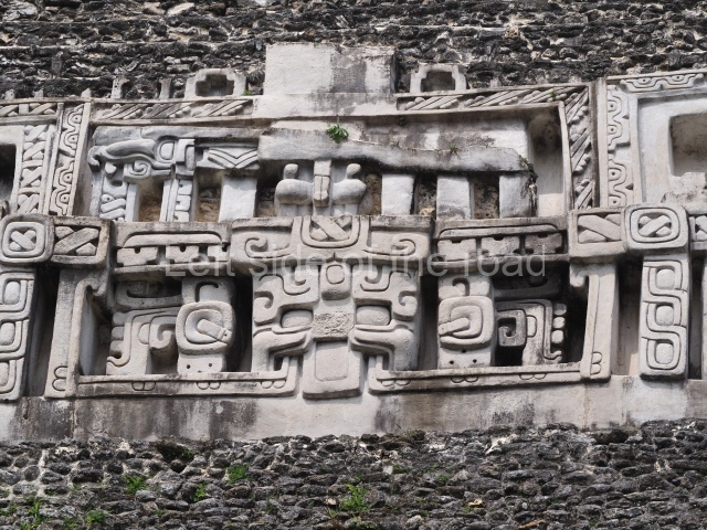
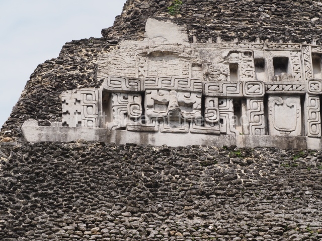
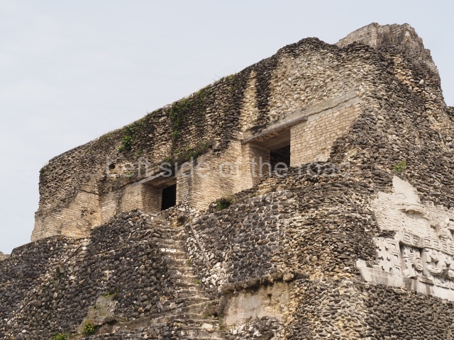
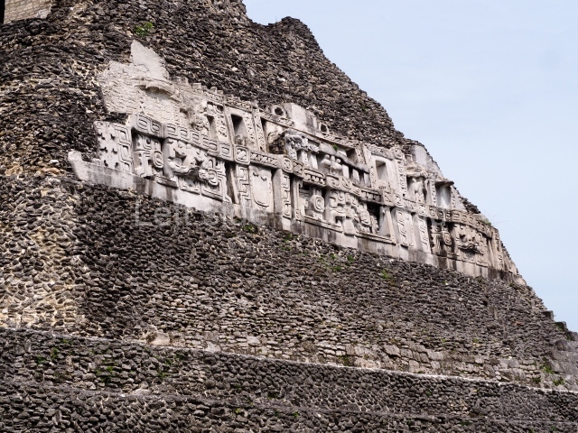
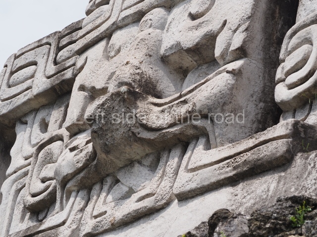
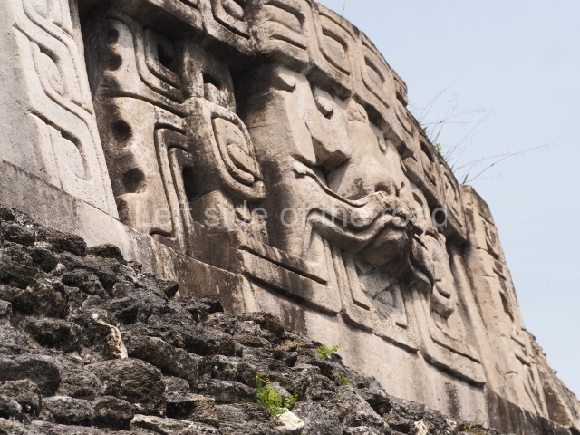
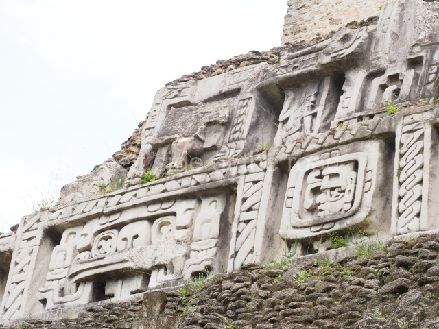
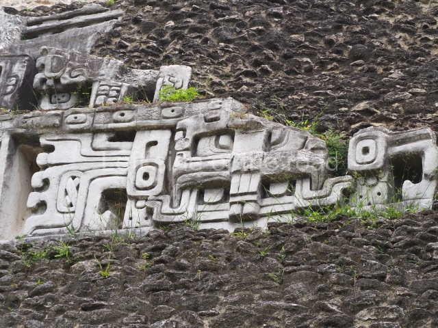
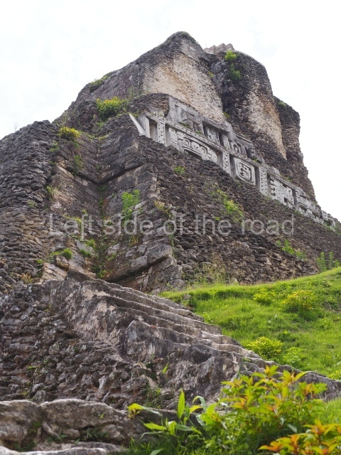
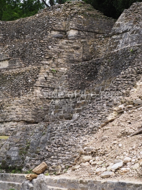
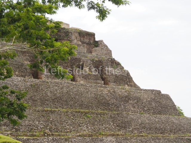
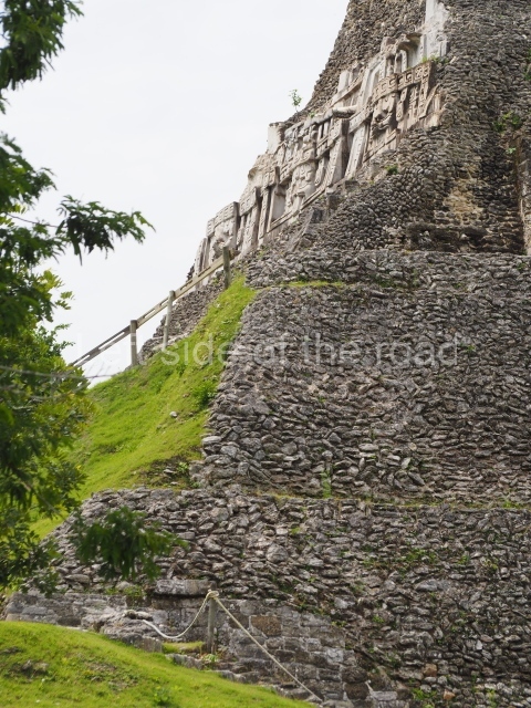
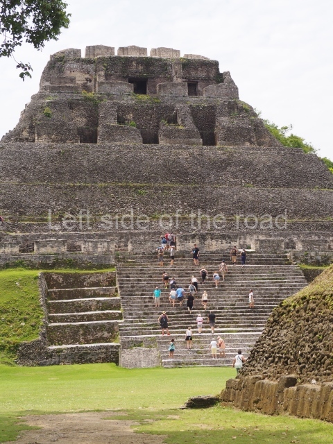
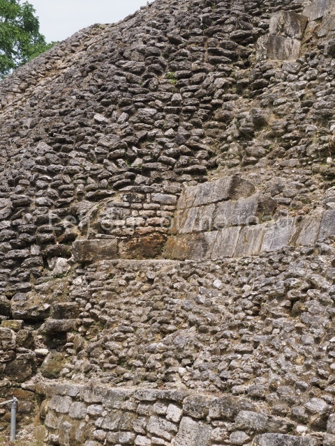
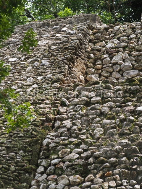
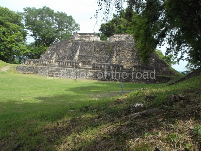
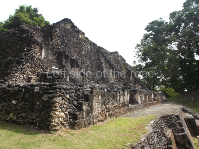
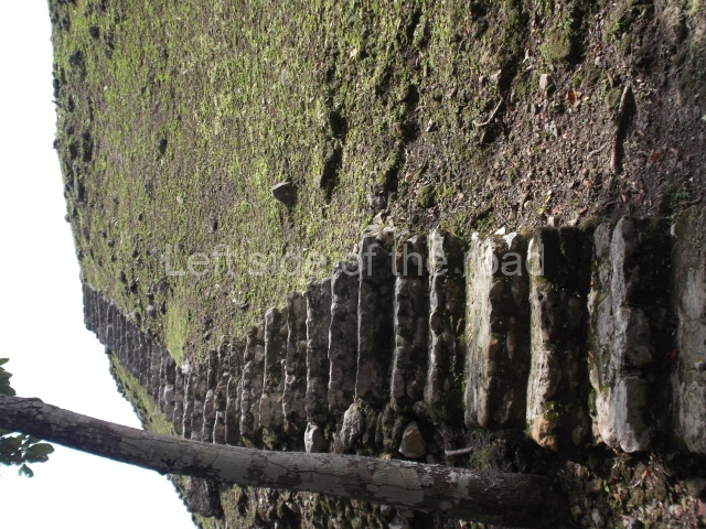
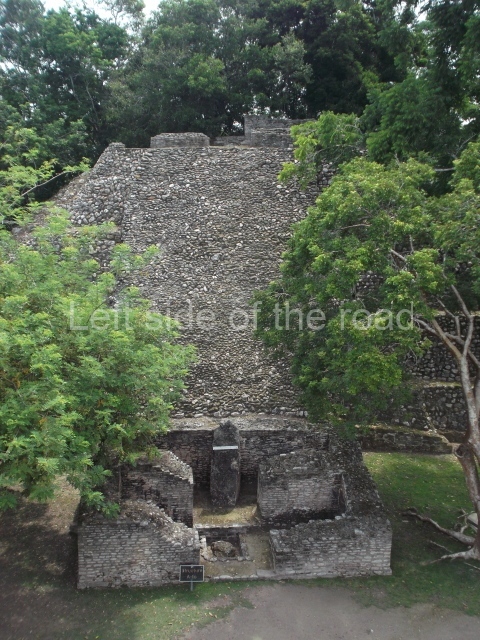
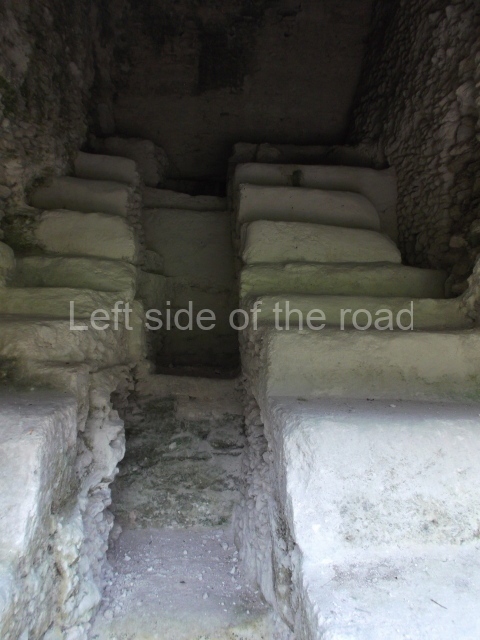
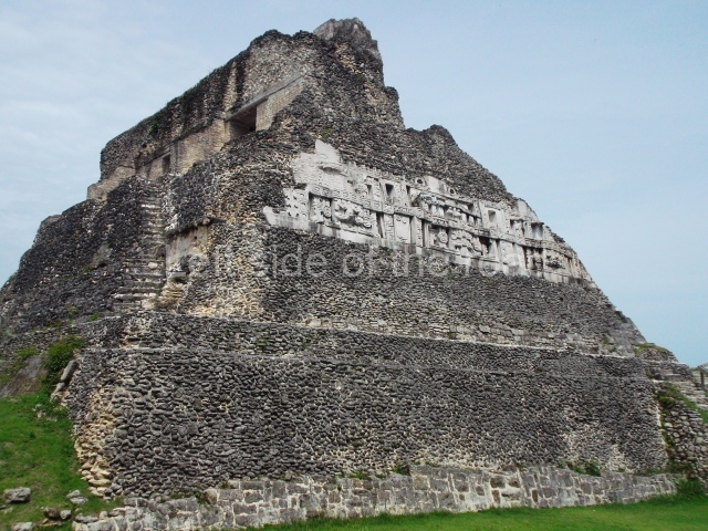
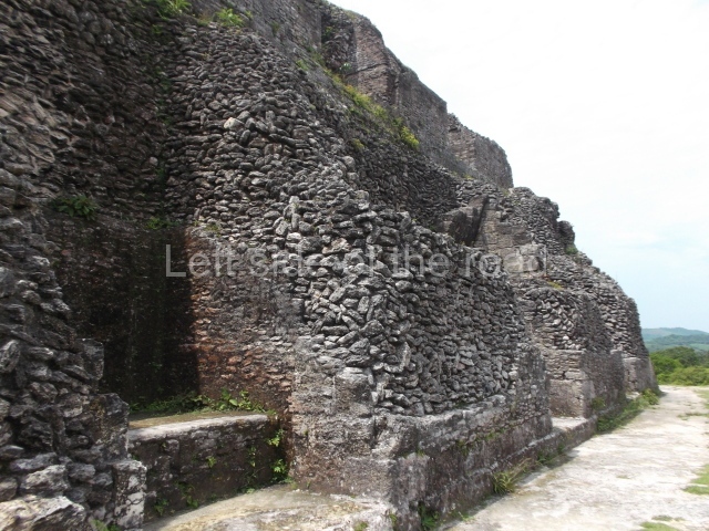
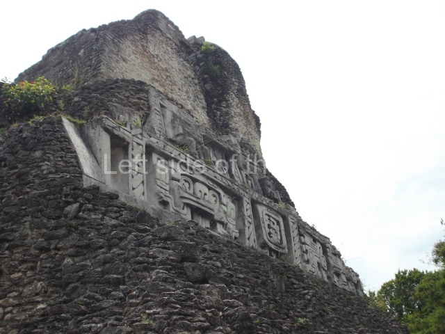
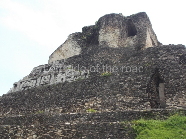
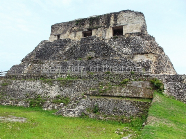
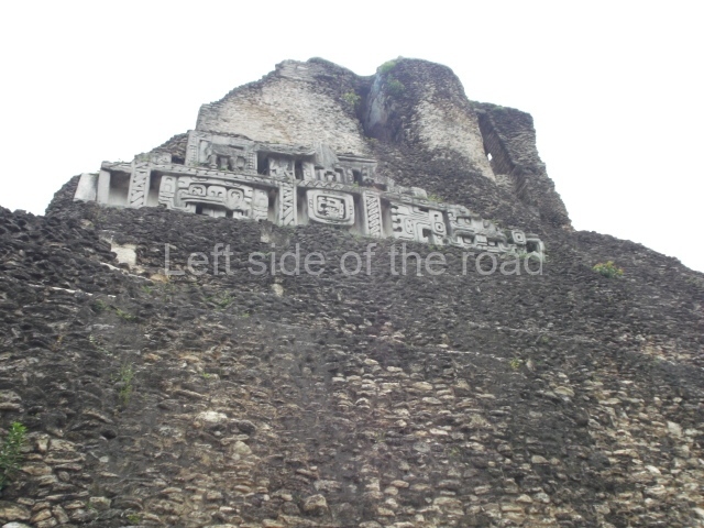
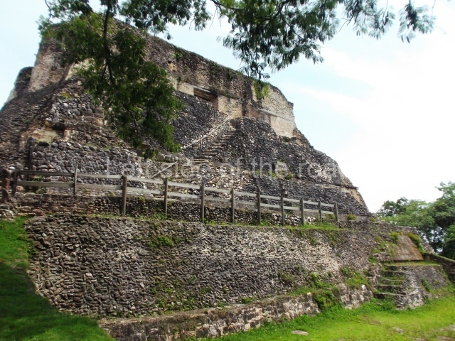
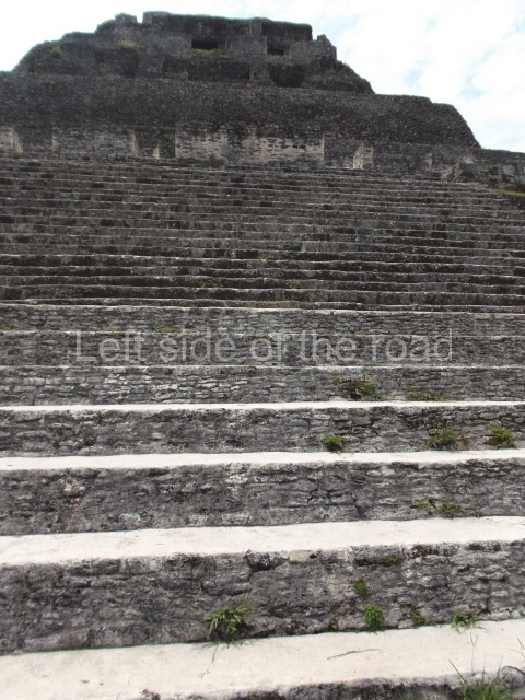
Structure A6 or El Castillo. At 40 m, this is the highest pyramid on the site and its present-day appearance is the result of successive visible modifications to various parts of the platform. The front displays a monumental stairway leading to the first terrace, approximately 10 m above the plaza, where precincts with numerous entrances were built; continuing behind these constructions is the great accumulation of stones and earth that supports the temples of two subsequent building phases, the top one tiring the most recent. The lower temple is adorned with stucco masks, modelled on the friezes at the east mid west ends; these date from an earlier period than the upper rooms. Nowadays the friezes have been covered with authentic copies to protect them while simultaneously exhibiting them to the public. The frieze on the east side is composed of three large terrestrial, solar and Venus-related masks, with the signs for the moon and day between them. Situated Above these records are niches framed by Venus symbols; seated inside the niches are the figures of people who were decapitated towards the end of the Classic period (AD 800-900). Judging from their position, these figures may well represent the Bacabs or ‘skybearers’. The frieze on the west side displays just one and a half of these masks symbolising the sun god. Situated between them is a square frame around an image of the fire god Chaac or Kah’k Chaak, which in turn is framed by bands adorned with the woven mat design, Pop in the Maya language. The upper record also shows the image of a mutilated figure, possibly corresponding to a pauwahtun, as in the frieze on the opposite side.
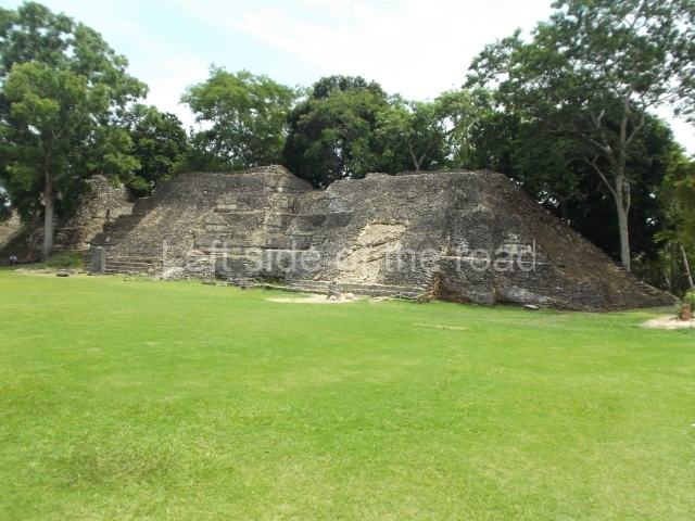
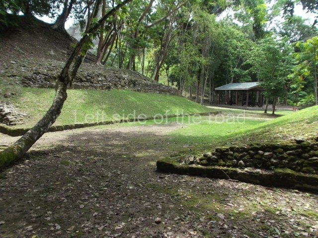
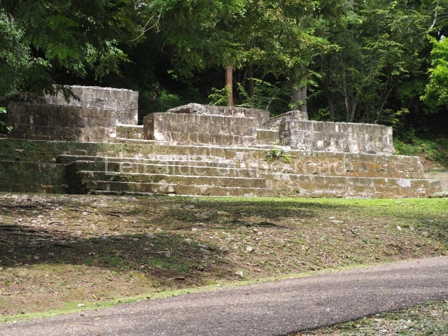
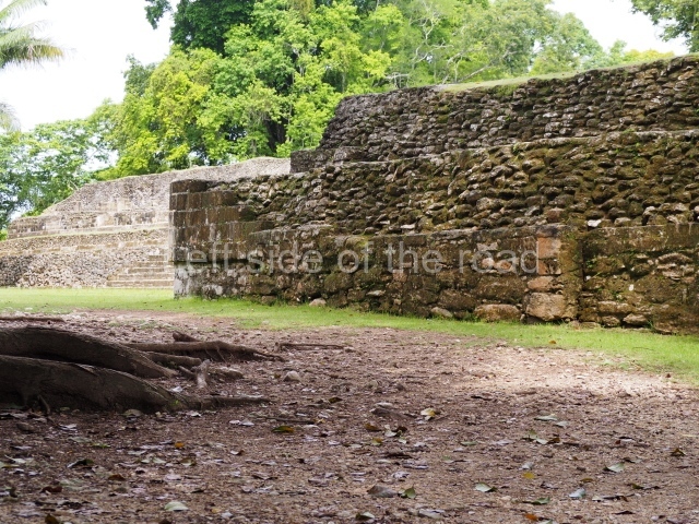
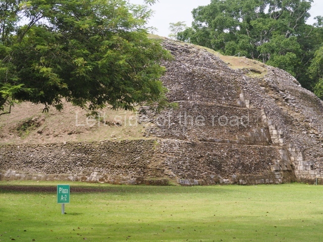
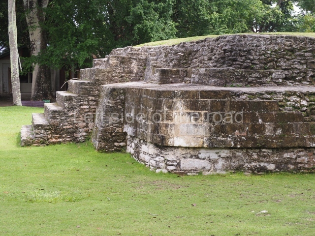
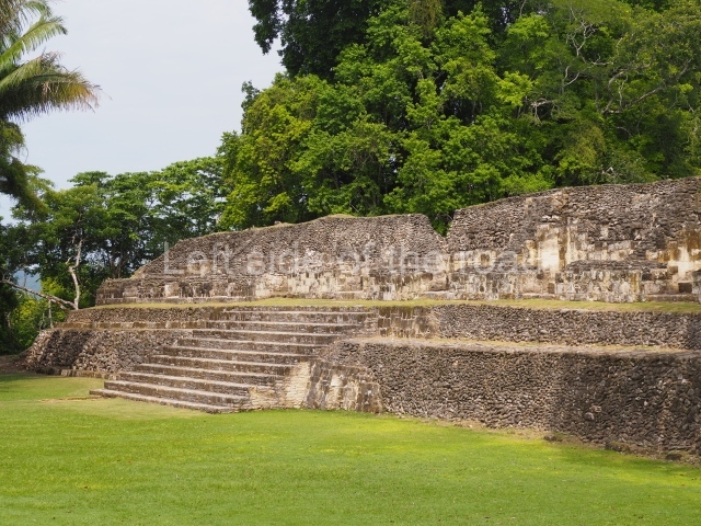
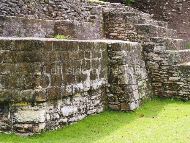
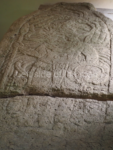
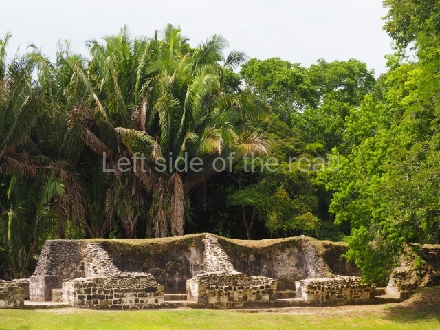
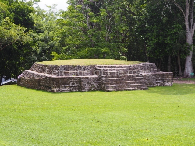
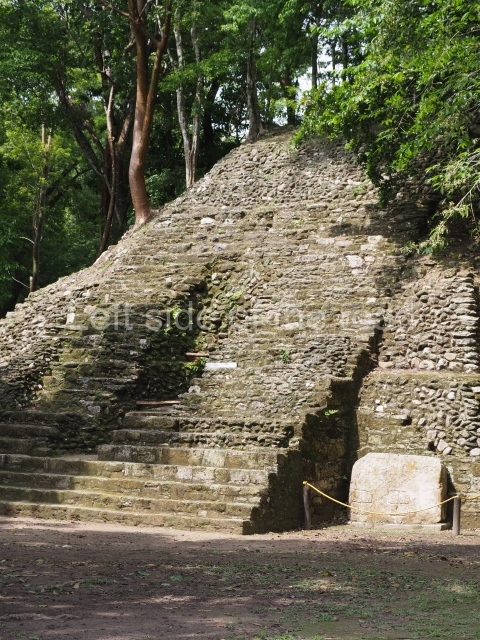
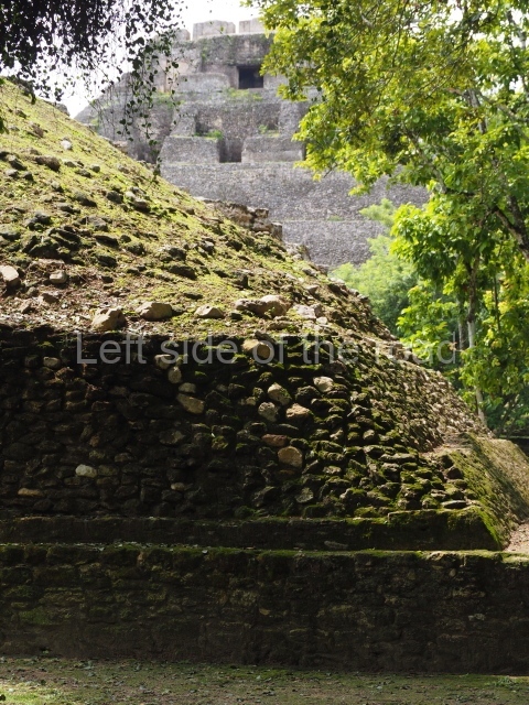
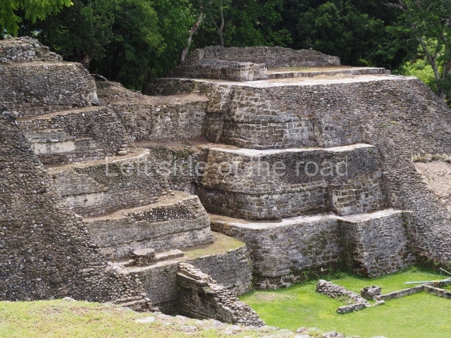
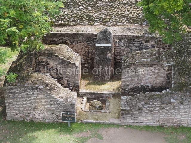
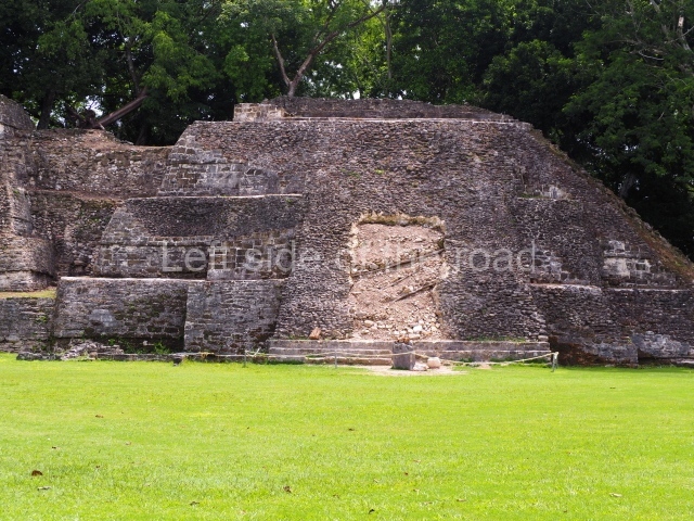
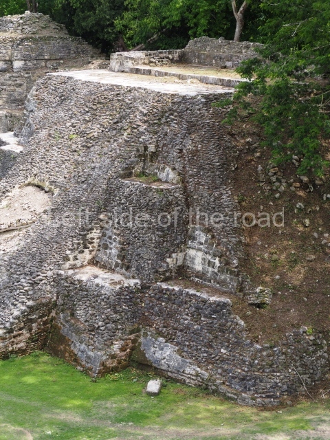
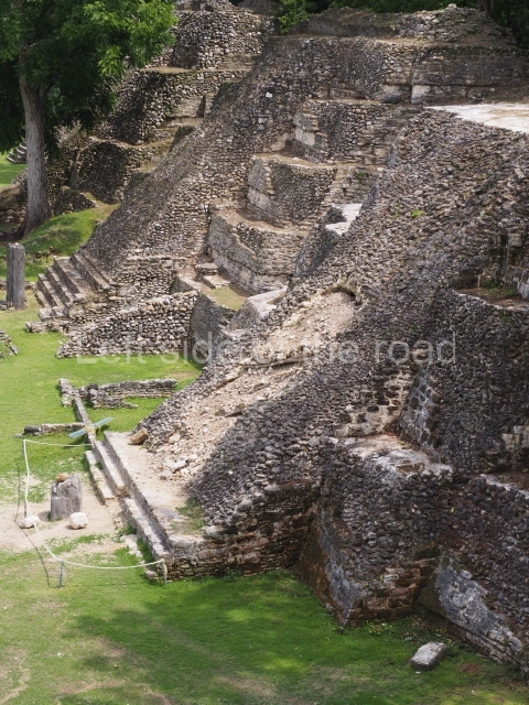
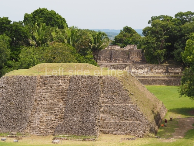
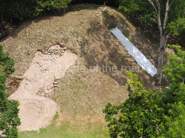
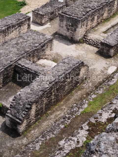
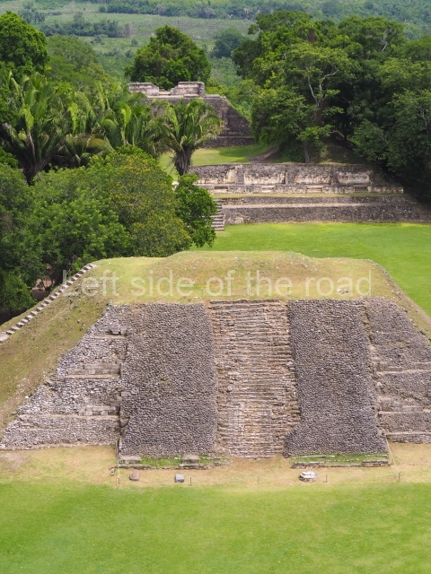
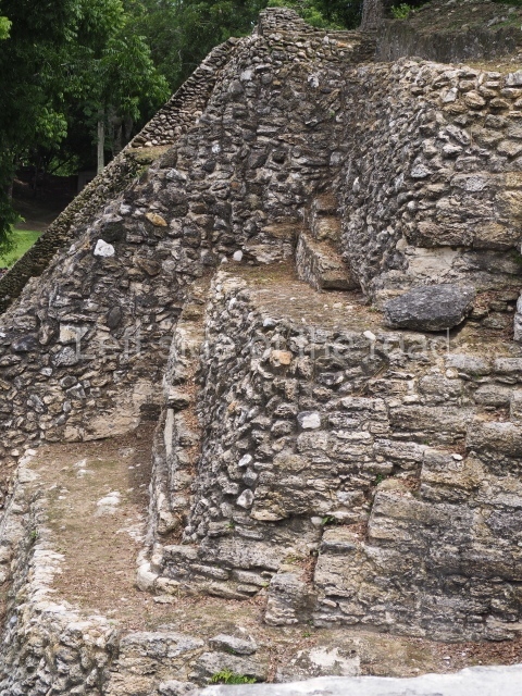
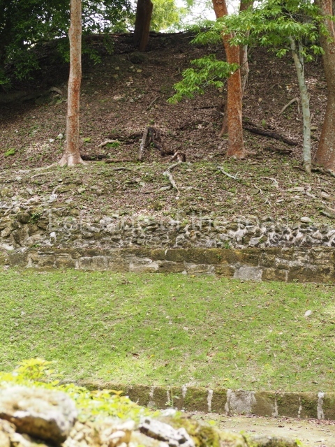
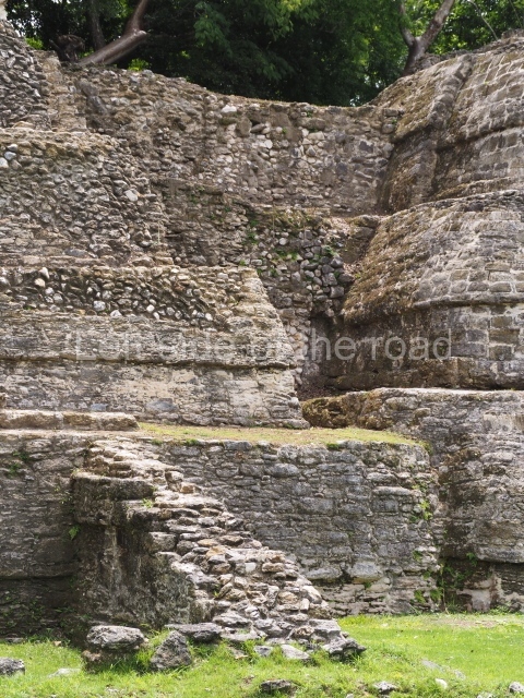
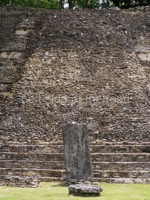
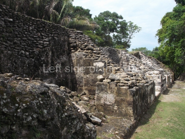
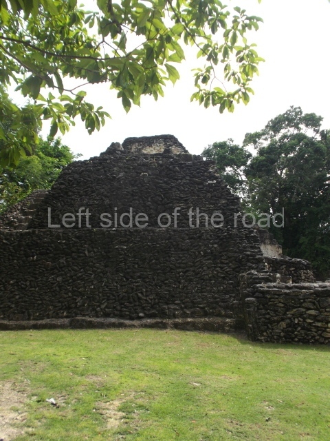
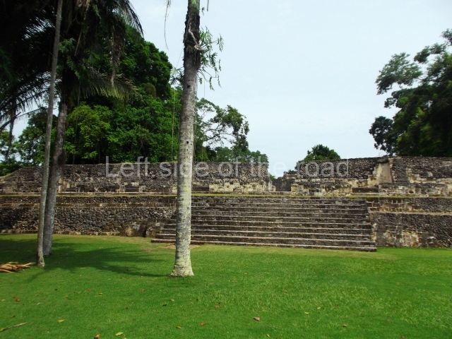
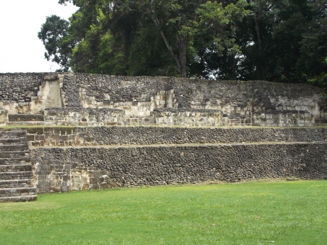
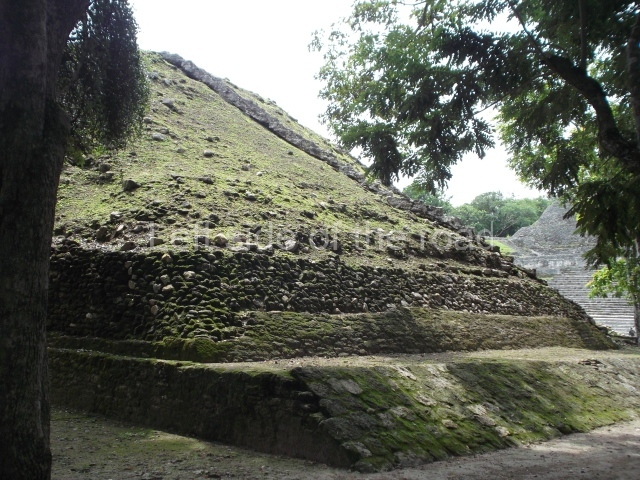
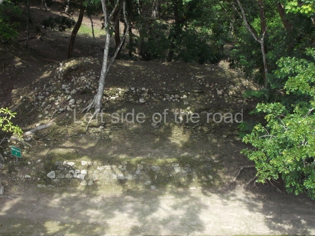
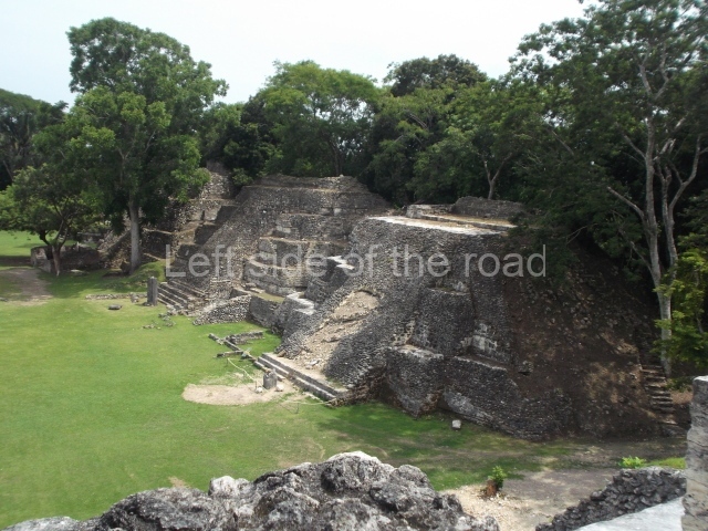
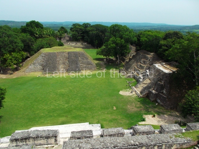
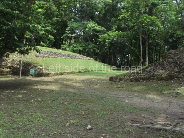
Group A. This ceremonial group is situated north of the main platform and is arranged around a rectangular plaza delimited on its north side by a palatial complex with vaulted bays and various chambers around a central courtyard. Situated at the east end of the plaza are three pyramid platforms and two low constructions. At .1 much later date the pyramid at the north end gained n small two-bay temple at the front, which has lost its roof, and two stelae and altars were erected inside; the one in the rear bay has survived almost intact, while the front bay still displays a circular altar inside a quadrangular box. At the exact centre of the plaza stands a pyramid platform with four stepped sections the temple at the top has disappeared almost completely – which divides the original plaza into two sections; on the west side, near the north-west corner, lies one of the elongated platforms of Ball Court 2. The west side of the main plaza is delimited by a pyramid whose west side supports one of the platforms of Ball Court 1; the north end of the play area is sealed by a low retaining wall, while the south end is open. Another two medium-sized mounds and the west platform of the second ball court run along the west side of the plaza.
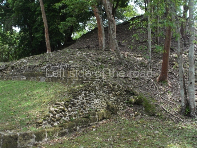
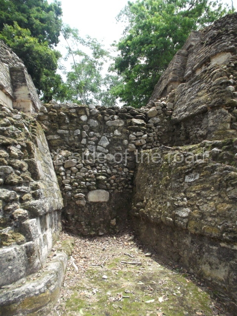
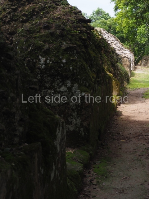
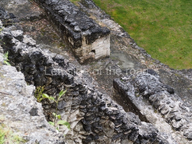
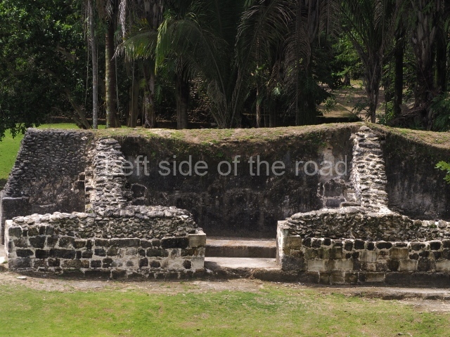
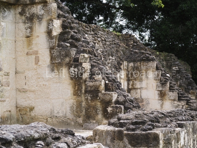
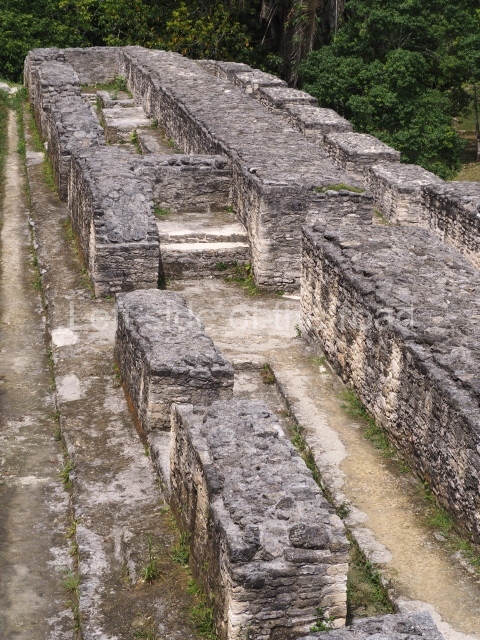
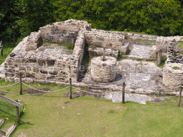
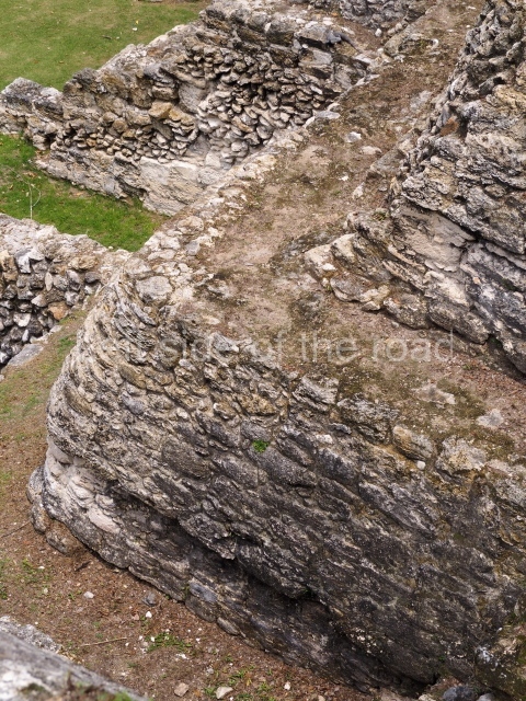
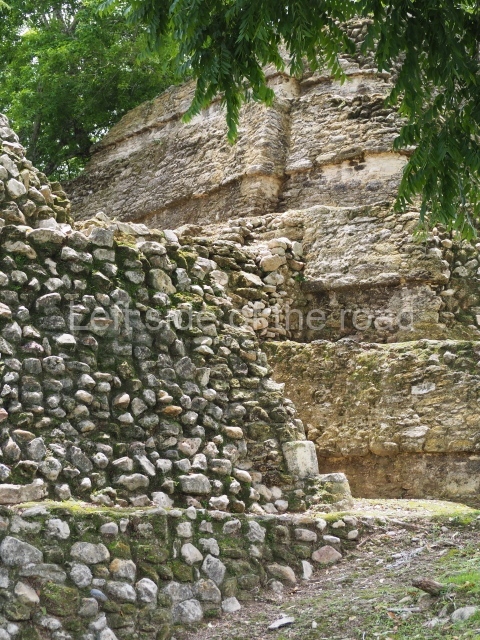
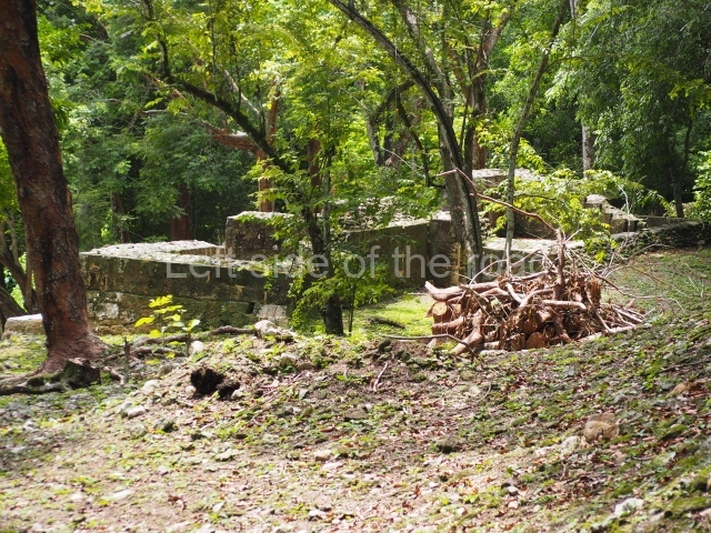
Group B. Situated north-west of the ball court and excavated by Thompson in 1938, this group corresponds to an elite residential unit, nowadays in a poor state of conservation due to the fact that the excavations have remained exposed – without having consolidated the walls – since Thompson’s day. In the 1970s Elizabeth Benson and David Pendergast discovered evidence to suggest that the buildings were still inhabited during the Early Postclassic period (AD 900 to 1200). Half-way along the path leading from Ball Court I to Group B it is possible to see two granite spheres, which would almost certainly have been used in connection with the ritual ball game.
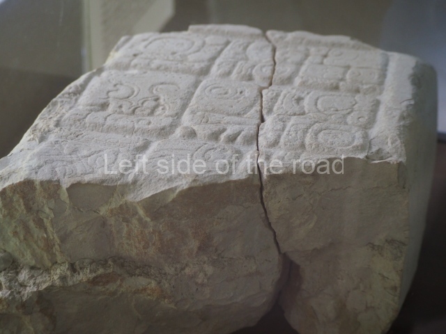
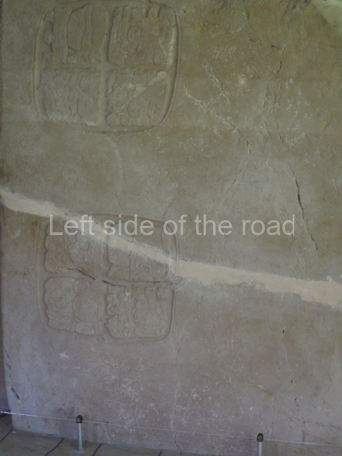
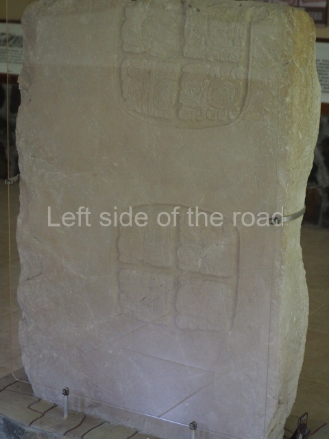
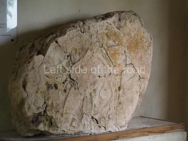
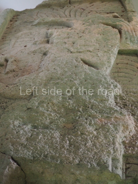
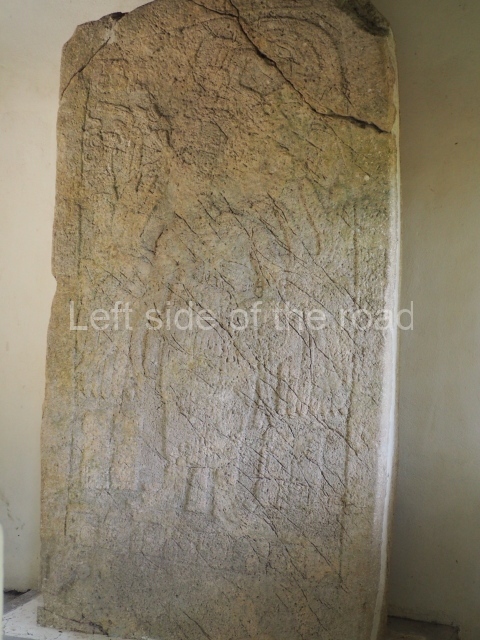
Groups C and D. These are residential groups situated to the south and south-east of El Castillo; judging from the ball court structure that forms part of Group C, this could also have fulfilled civic and ceremonial functions. Eight stelae and two circular altars have been identified in the Group A plaza; two stelae have dates from baktun 10, suggesting that the site continued to be occupied during the 10th century, by which time several important cities in the central lowlands had been abandoned.
From: ‘The Maya: an architectural and landscape guide’, produced jointly by the Junta de Andulacia and the Universidad Autonoma de Mexico, 2010, pp246-248.
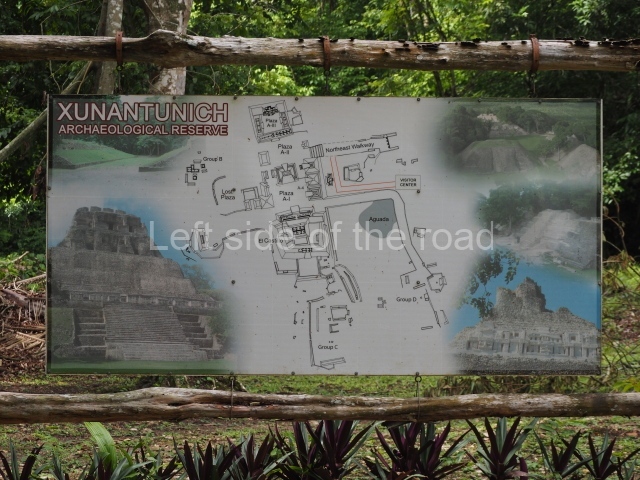
1. El Castillo; 2. Plaza A-1; 3. Plaza A-2; 4. Plaza A-3; 5. Ball Court 2; 6. Ball Court 1; 7. Group B; 8. group C.
Getting there:
From San Ignacio. You can either take an infrequent bus (B$2) or a collective taxi (B$4) to San Jose Sucotz. From there you cross the River Mopan on a quaint human-powered ferry (free). From the ferry it’s about a mile to the site entrance (15-20 minute walk – uphill).
GPS:
17d 05’ 20” N
89d 08’ 30 W
Entrance:
B$10


