Four days of Els Tres Monts
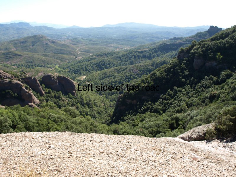
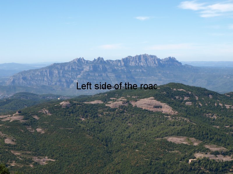
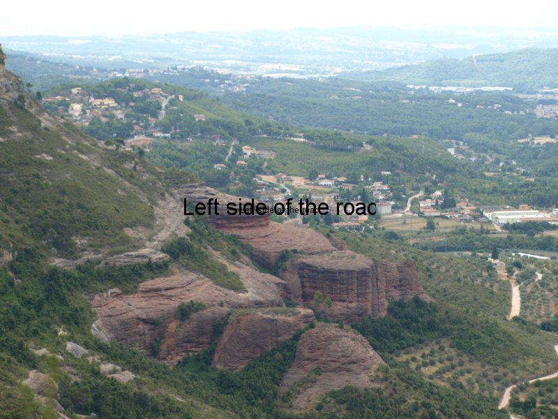
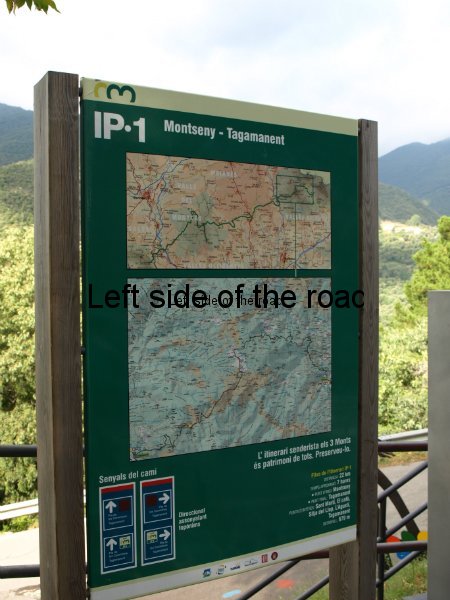
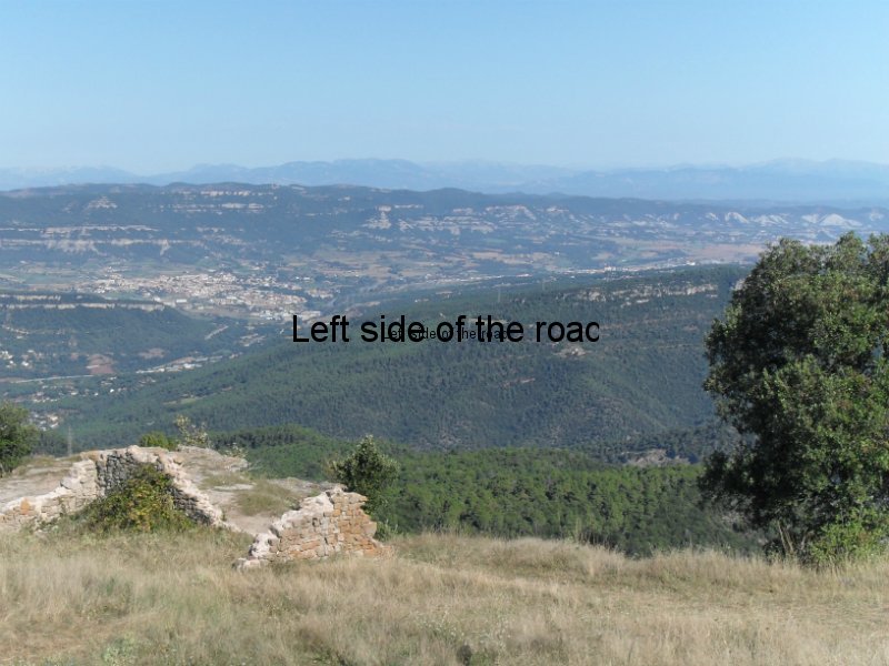
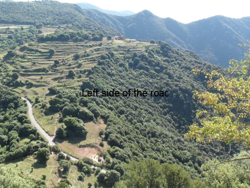
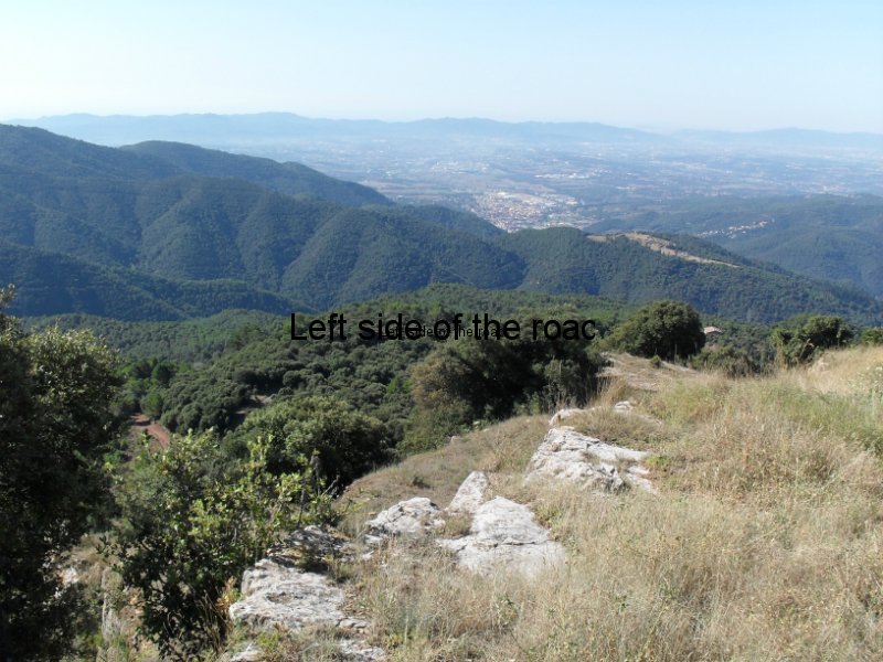
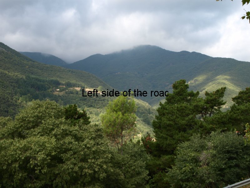
Els tres monts long distance walk starts in the village of Montseny and over a (suggested) period of six days arrives at the mountain top Monastery of Montserrat, 110 kilometres away. On the way you pass through a varied countryside and after some steep climbs you arrive at other sanctuaries seemingly stuck on to hill tops, offering views of the natural parks and as far as the Pyrenees.
I finally managed to complete 4 of the six stages in the walk from Montseny and Montserrat. (Stage 5 would have been a long day, with quite a considerable change in height, but stage 6 is just a steady hike up to the Monastery from the valley below.) But I don’t consider the exercise a failure.
On the contrary it was a worthwhile experience and was a walk in some very impressive countryside.
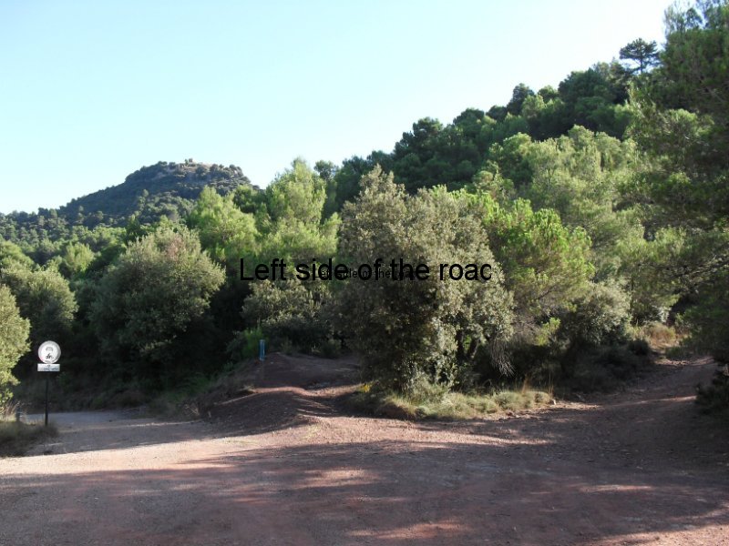
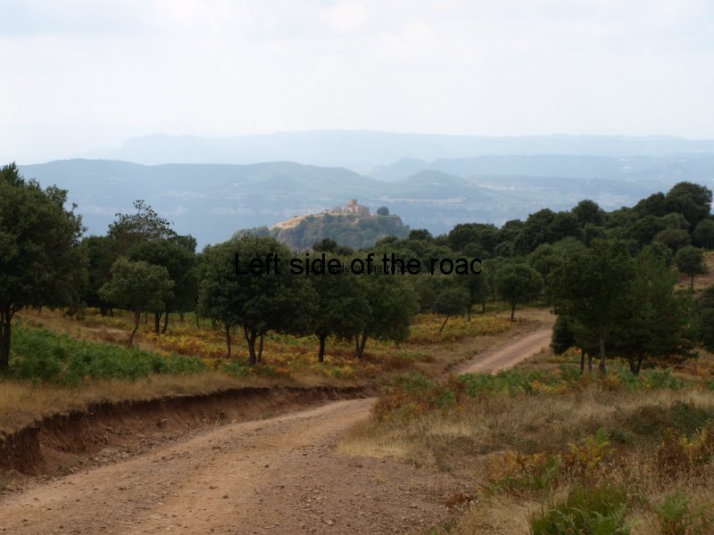
I’ve mentioned before that when you look at these hills you wouldn’t think there are any paths at all but the opposite is the truth, there are so many paths that it can, at times, make route finding difficult.
There’s also a mixture of terrain.
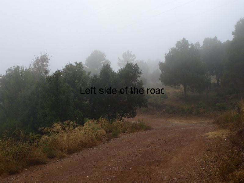
For an hour or two you can be happily walking along a wide, drivable track and the next you are faced with a steep, rugged, seemingly never-ending, climb which takes all your reserves and shocks the heart into working at full blast. No doubt one day it will have enough and pack in. After feeling relaxed and moving quite quickly along the flat the climb, even though you know it’s coming, is still a shock.
Walking along the tracks you clock up the kilometres (after all we are supposed to be in Europe) but on every day of the four any height is gained in a very short distance and although not on all fours or in any way climbing, there is a certain of scrambling involved to pull yourself up the steep slopes.
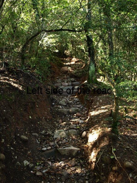
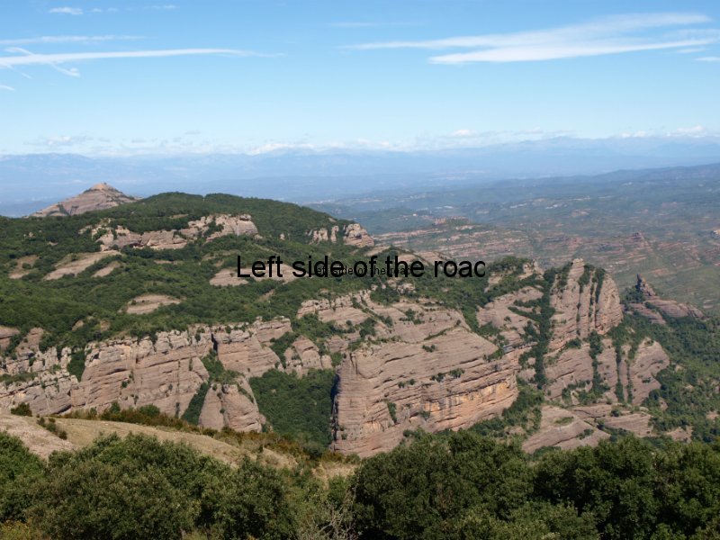
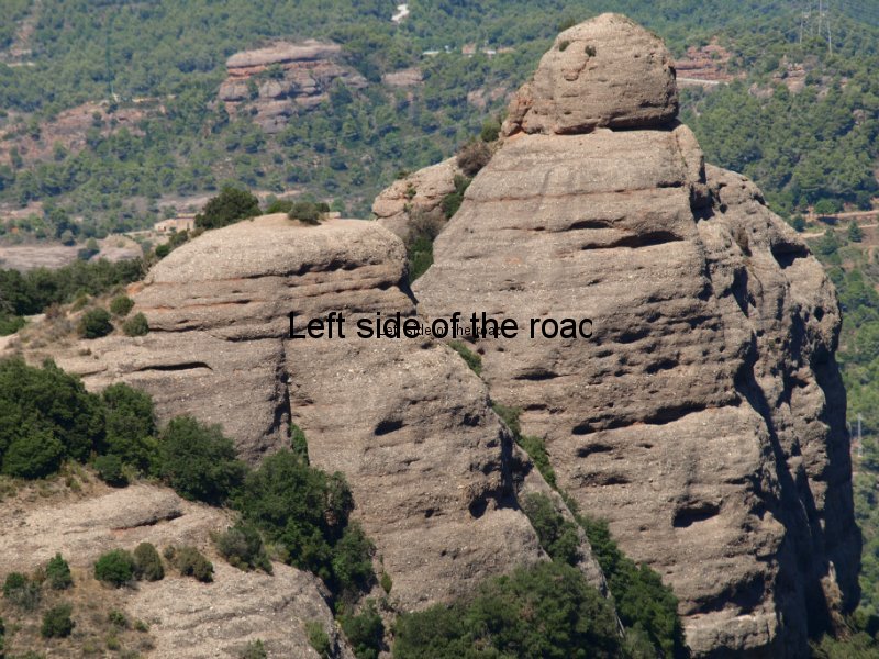
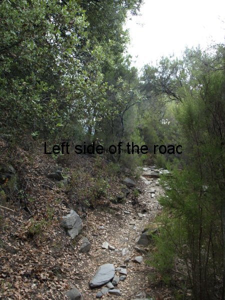
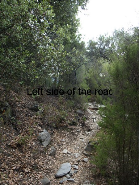
And during these climbs the ground under foot changes. This whole area was once under the sea and is made up with the conglomerate that looks like it has been man-made. Rocks and pebbles seem as if they have been set in concrete but time and the weather breaks this down and these individual stones once again have a life of their own, separate from the great land mass.
This, potentially, makes for a dangerous scenario. It’s very easy to fall into a false sense of security on the tracks and then lose concentration and go over on an ankle. (I think all the, small, number of accidents I had to deal with when leading groups in the hills and mountains were on such terrain.)
Here the problem is exacerbated on the final stages of the downward stretch coming into the village at the end of the day. These are often wide and very steep and the small stones are like walking on marbles and this puts a strain on the body as you’ re quite tired and the muscles are starting to scream out that enough is enough.
But after the effort of the steep climb it was always worth it. Once the blue sky is seen through the trees ahead you know you’re getting close to the top (although it always takes a bit longer to reach than first expected!). Maybe in a lather of sweat, maybe the legs a bit wobbly from taking the strain of such an incline (and with a bit of two steps forward, one step back), and maybe wondering if the heart will regain its normal rhythm but as always in the mountains that all comes with a sense of achievement.
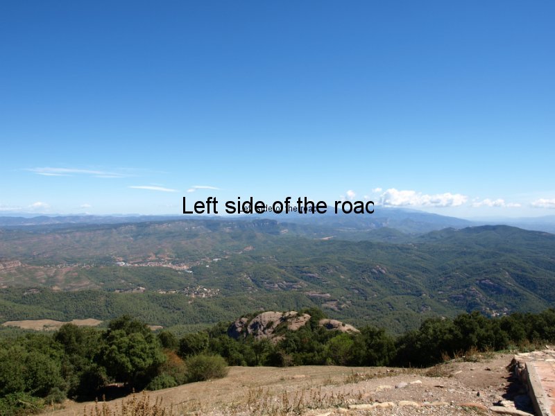
After the steep climb on the first day the next stage was on a relatively flat plateau. Earlier in the day it had looked ominous up here from down below in Montseny but when I arrived it was perfect, weather wise that is. The sun was shining and the sky was blue and there was a strong breeze blowing which took away some of the harshness of the afternoon heat but at the same time made for pleasant walking conditions. On this plateau (known as La Calma) I’m sure this wind is blowing much of the time but wouldn’t like to be there when it might be coming from the direction of the snow-capped Pyrenees in the early spring.
After the steepest and highest climb (on day 4) there was an optional diversion off the route of 8km (four there and four back). Well it wasn’t really an option as after making all the effort to get there it would have been foolish NOT to have made it, unless the weather was so atrocious it would have been foolish to stay up so high for any longer than necessary.
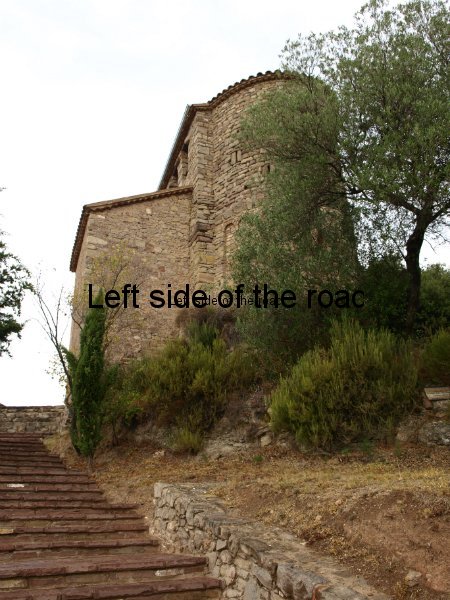
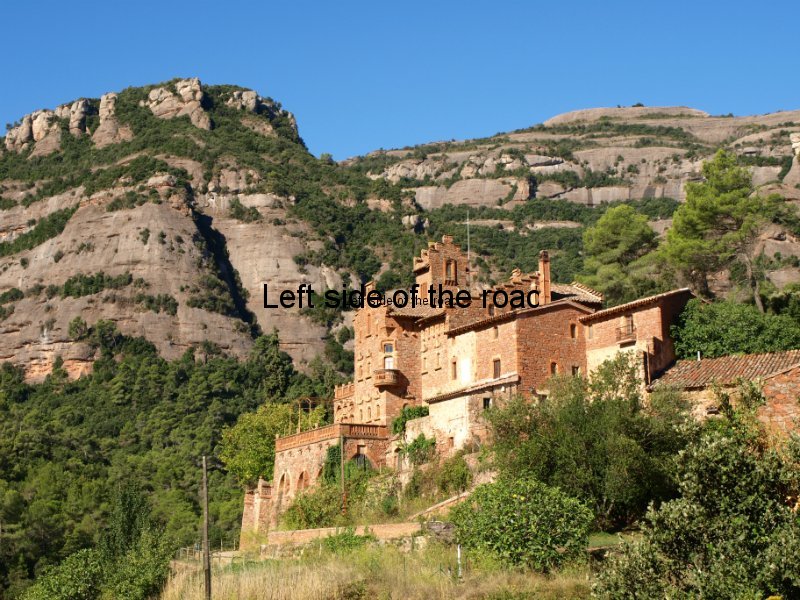
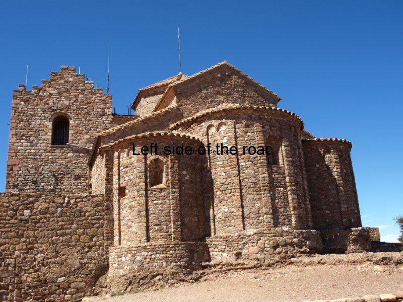
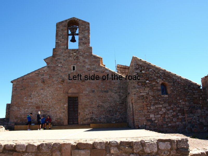
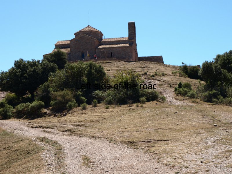
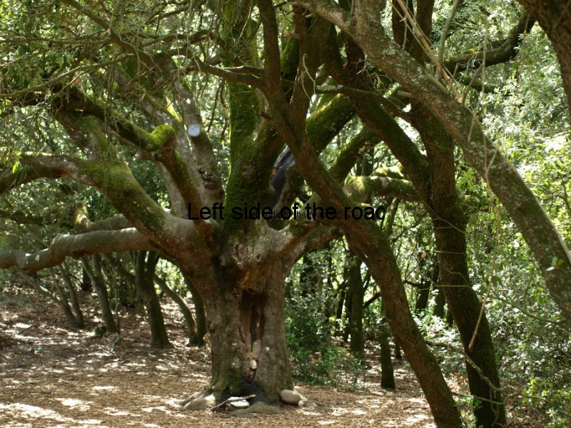
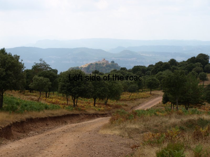
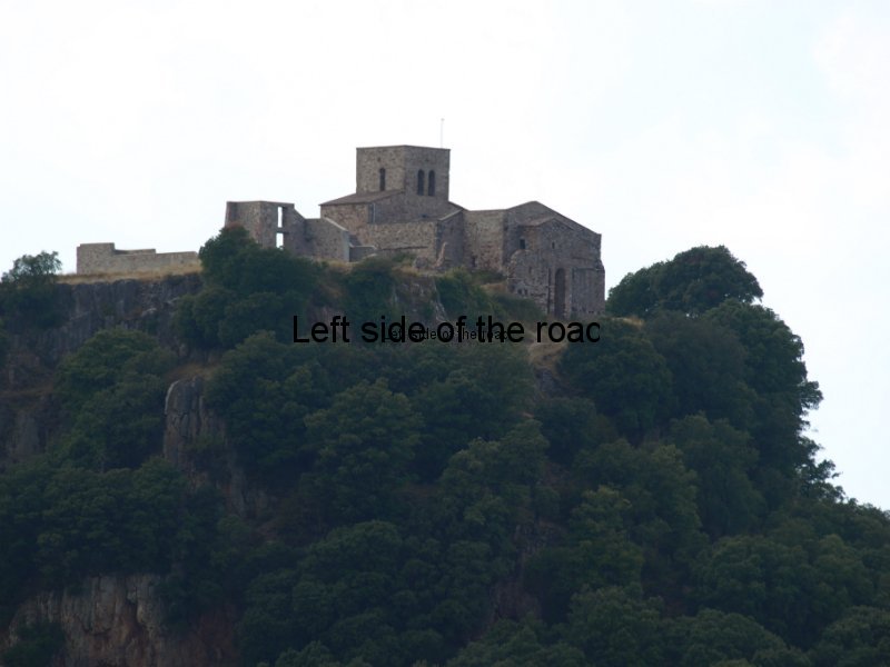
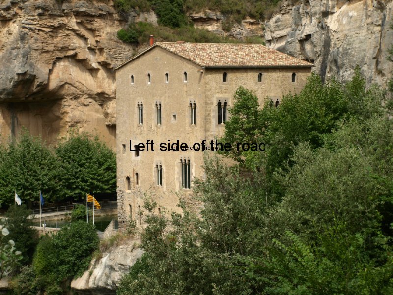
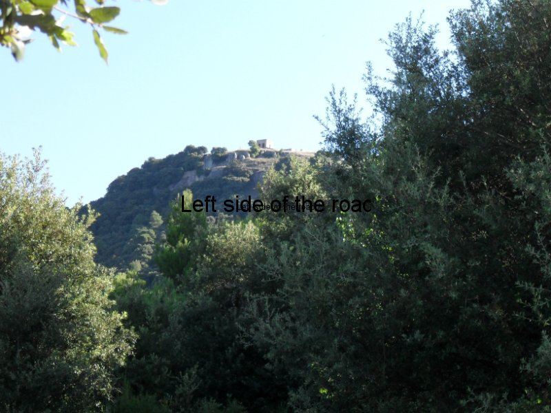
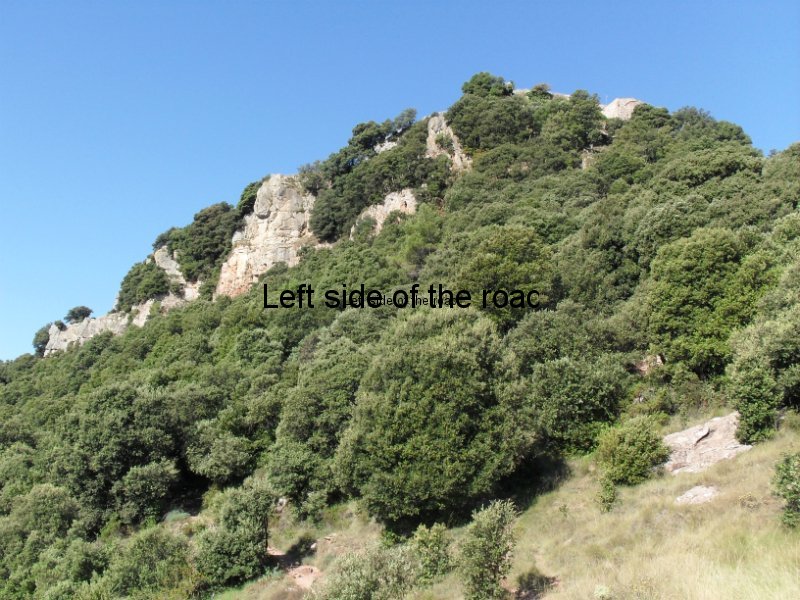
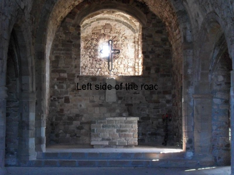
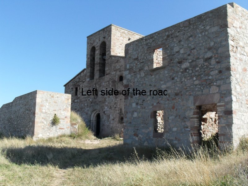
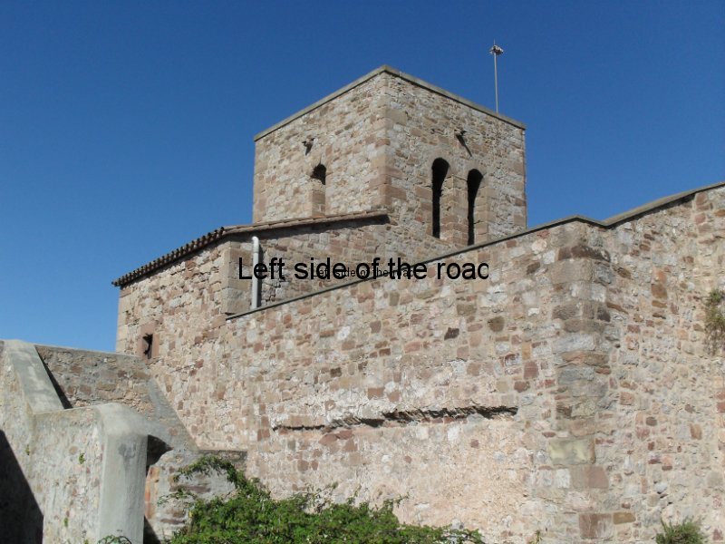
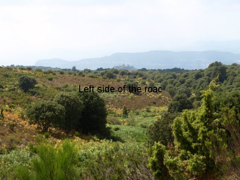
Anyway, that diversion (which added 2 hours to the walk) was mainly along tracks which were shaded by the holm oaks which predominate in the area. Yes there was some dropping down and then a bit of steep final stage to get to the goal, the Monastery of Sant Llorenç del Munt on La Mola, but in general it was a very gentle and easy path – which meant it was the busiest section I encountered over the four stages. Not meeting people in any great numbers for most of my time walking was one of the joys of doing this route and this section was a bit of a culture shock.
There is a problem with this route, and the way it is described, in the fact that there are some dodgy sections which are not really advertised. Apart from the steepness of some of the sections I’ve already mentioned there were a number of occasions on the walk up La Mola that some would find too challenging.
The paths are, generally, in a good condition but some of them came out into the open and the rocks then fall away very steeply on one side – and it’s a long, long way down. Not recommended for those with a lack of confidence in heights and definitely not a place to be if there are strong and/or gusting winds.
The reason for not finishing the whole route? A mixture of time and decrepitude.
Although here for a month time seems to have just disappeared. Also this is the time of the Festa Major in the village I’m staying and in many others around and so wanted to be around to see what was happening. As it so happened I missed out on some things for reasons I’ll explain in another post but at least that was my original plan and the reason I decided that I would cut things short on the Friday.
The decrepitude comes from the knee – and age. I was passed by someone as I was following the route of the second day. That didn’t use to happen very often, but then I could still give him at least 25 years. Climbing over a thousand metres was hard enough, coming down a thousand metres played havoc with the knee. Injured years ago when not really thinking about the future and now age is only making matters worse. Like most people as they get older I’m in denial and don’t carry a stick, that’s becoming a foolish attitude.
The route down on my last day took over two hours and there was a constant pounding on the knees, although protected with a support bandage. As I’ve mentioned above the little stones on descents can be a killer and that extra breaking needed puts even more strain on already tired and aching muscles. Also at the back of my mind is the fact that after being on my feet for 8 hours, having climbed over a thousand metres and walked a distance of 26 kilometres it would feel a right fool to be crying for help within shouting distance of the final destination for that day.
If I had planned to walk on the Saturday I would not have been able to do it, getting off the stool in the bar in Mura was bad enough and will now have to see how long things take to get back to some sort of normality. I’ll do the final sections another time.
The negative from all this is that it’s going to make me alter my plans for the near future as this was meant to be a bit of a taster for an even longer walk back in Britain.
But I might take George W’s solution to everything – deny there’s a problem and just trust that technology will be able to come up with a solution.
Or I could get a stick, all depends if I remain in denial.
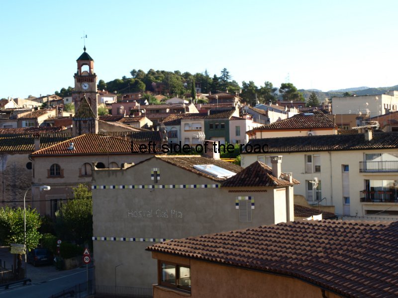
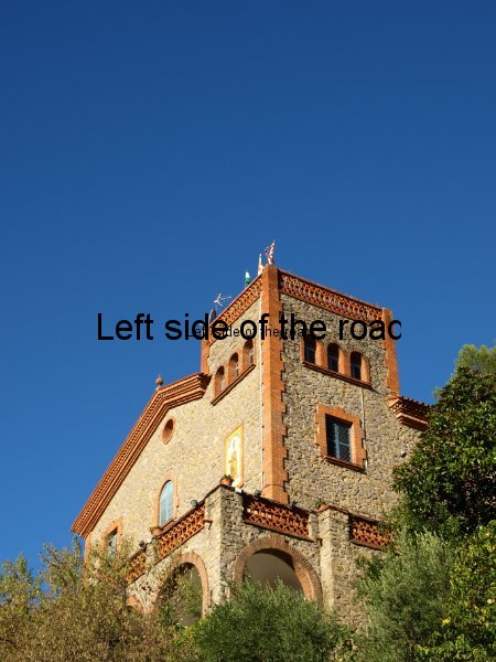
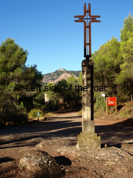
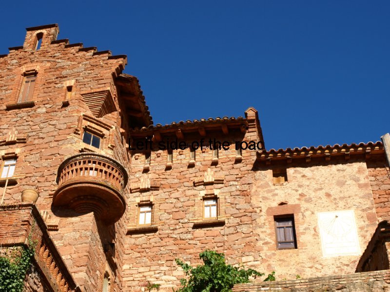
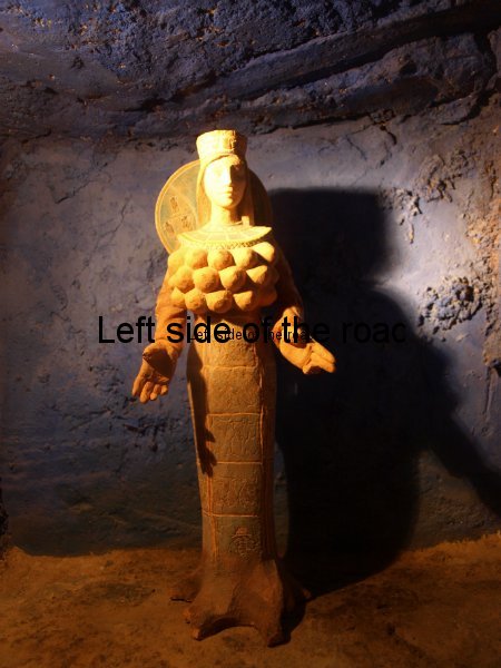
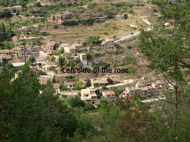
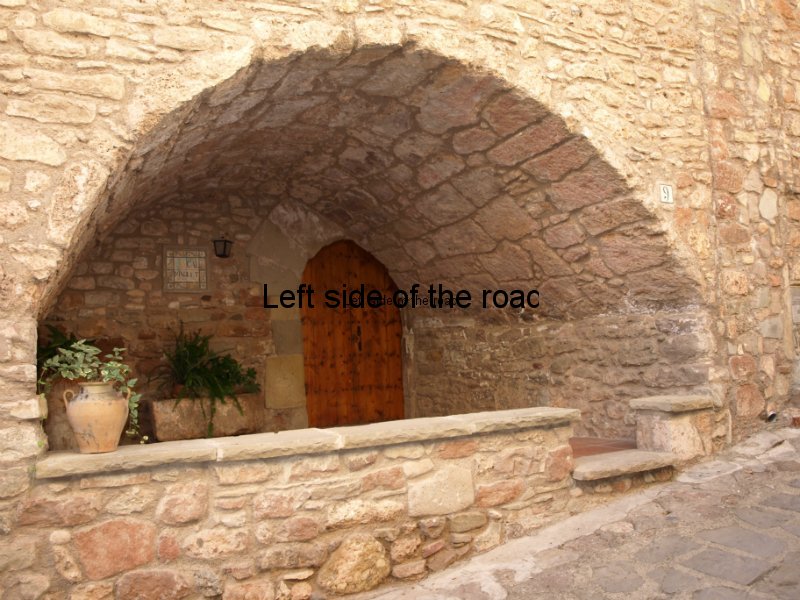
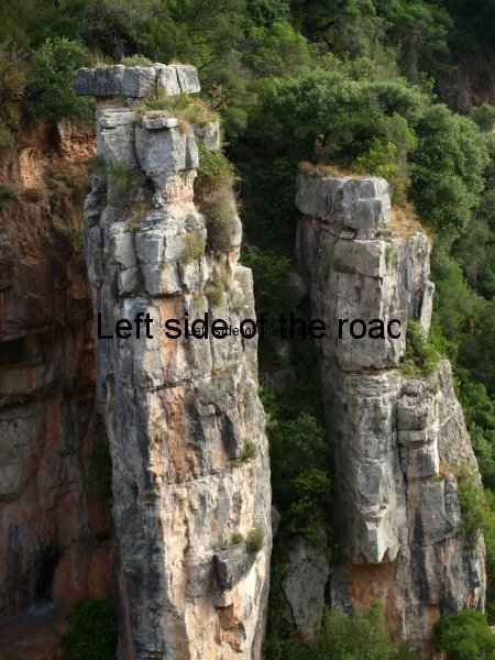
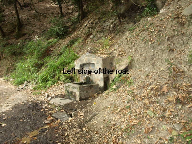
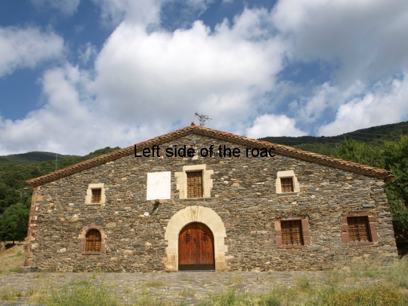
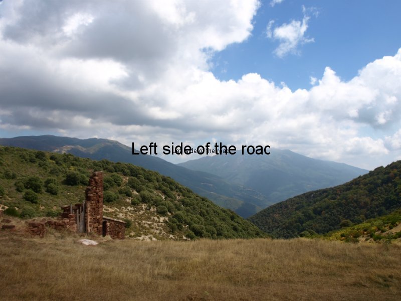
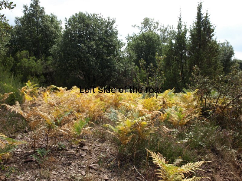
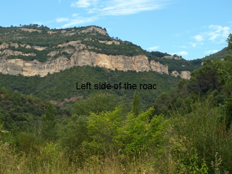
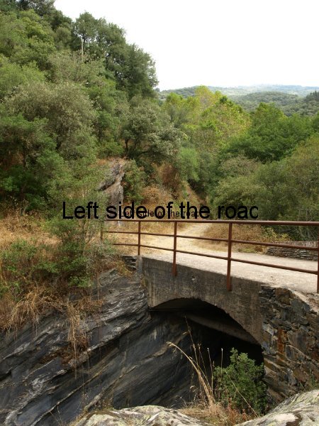
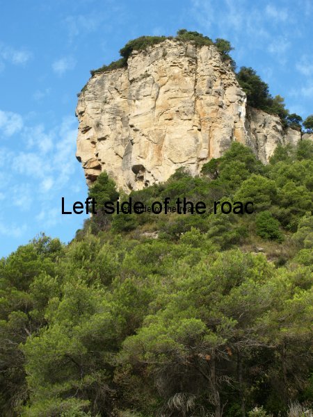
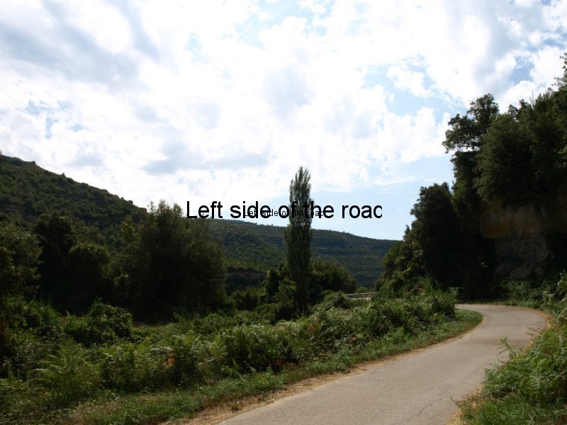
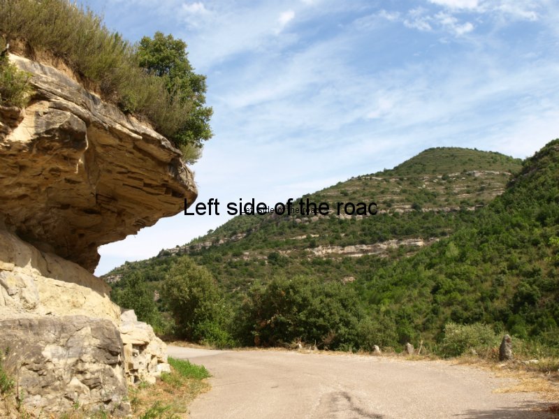
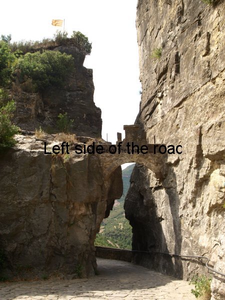
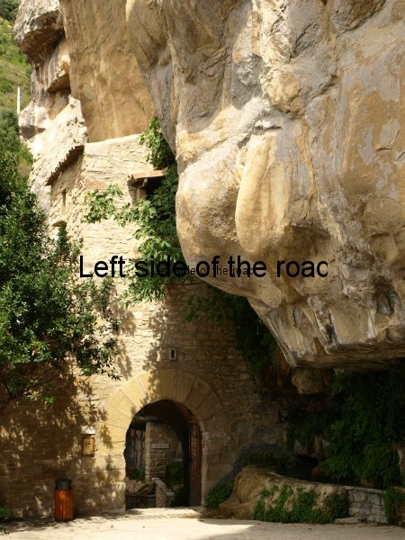
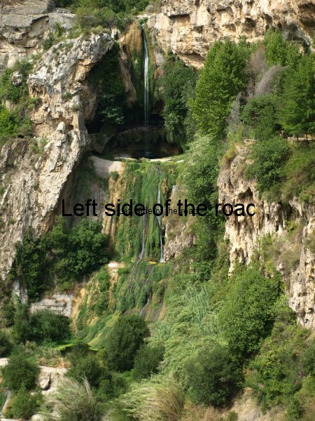
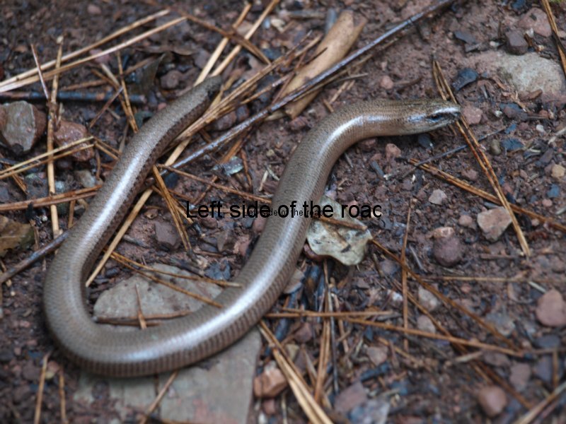
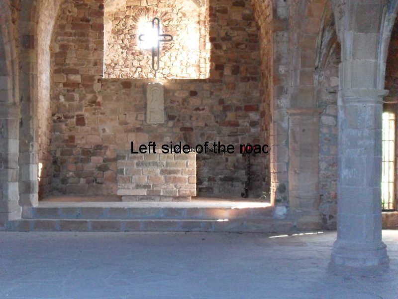
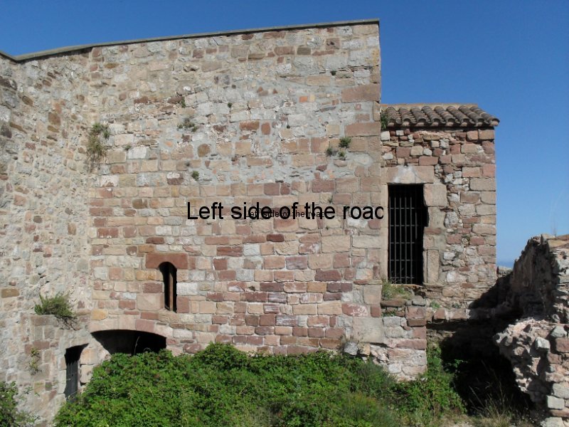
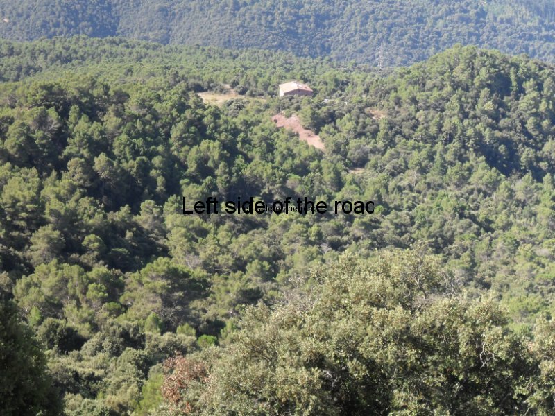
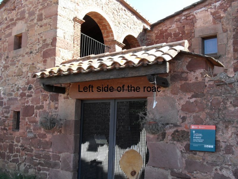
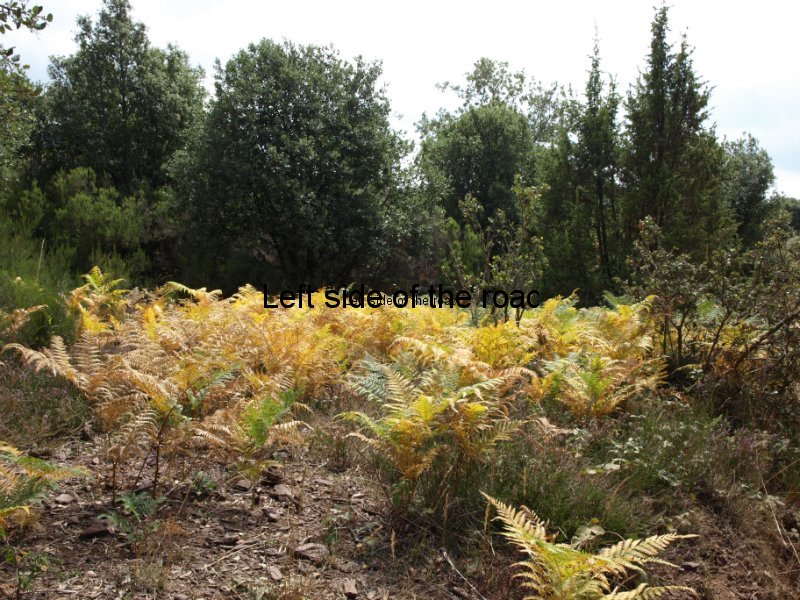
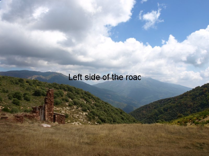
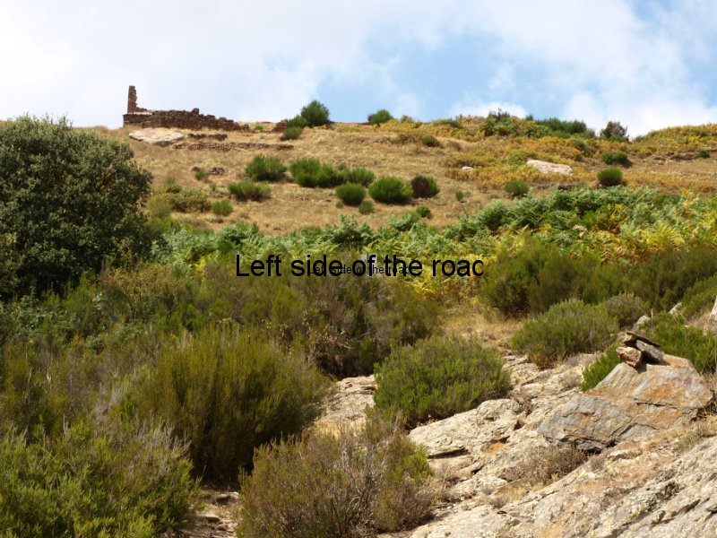
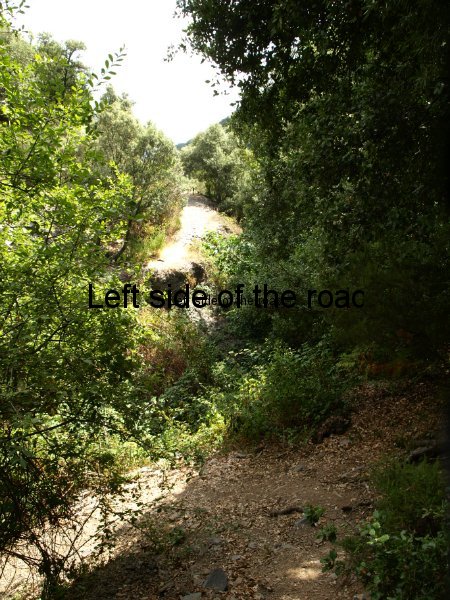
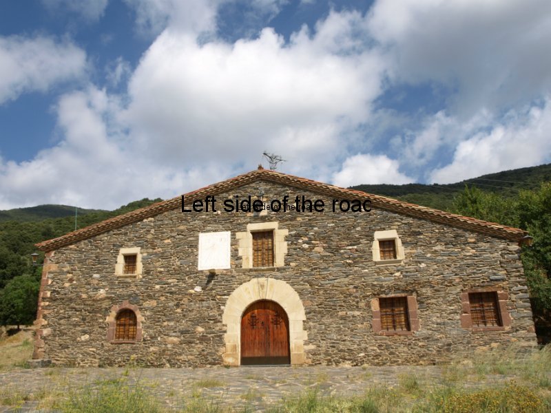
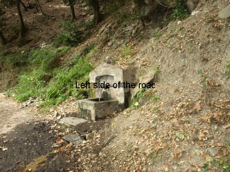
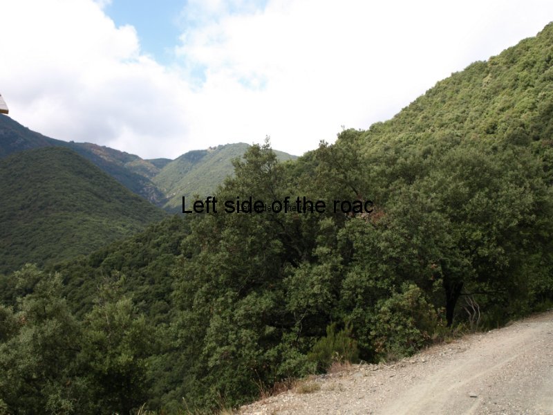
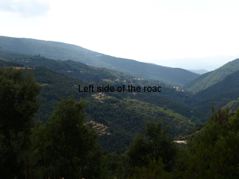
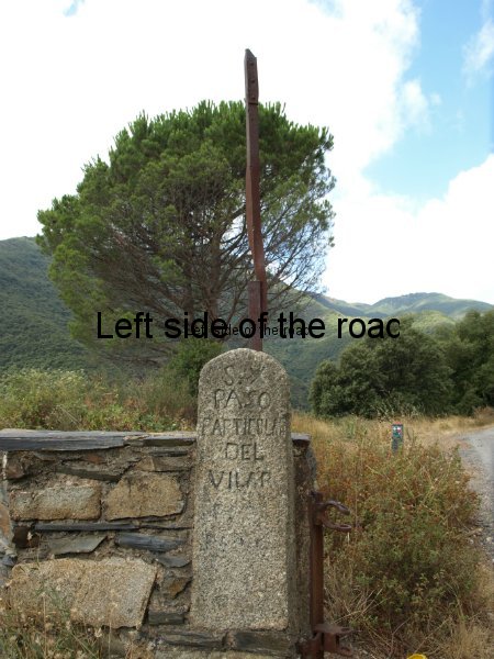
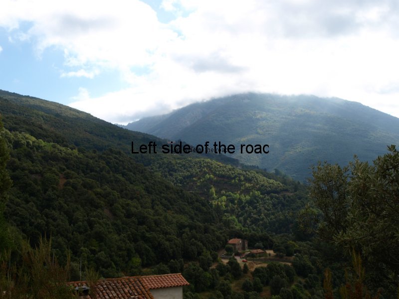
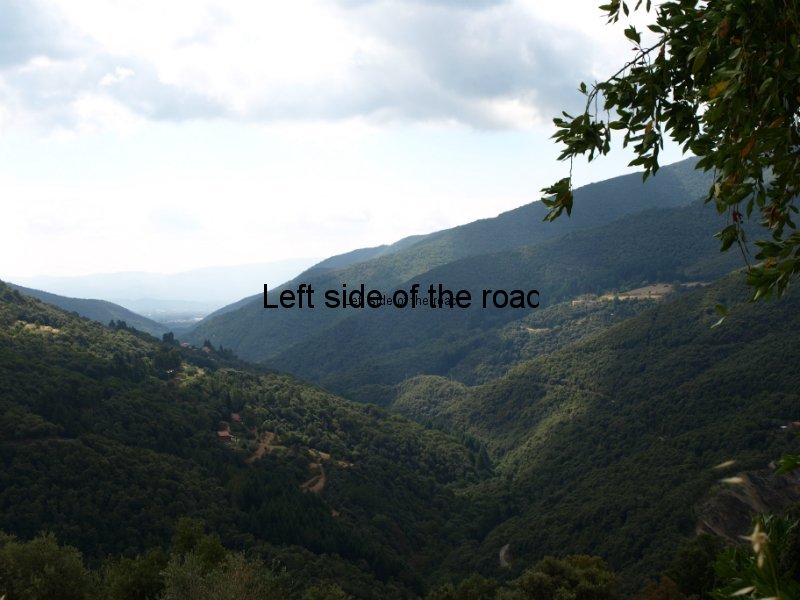
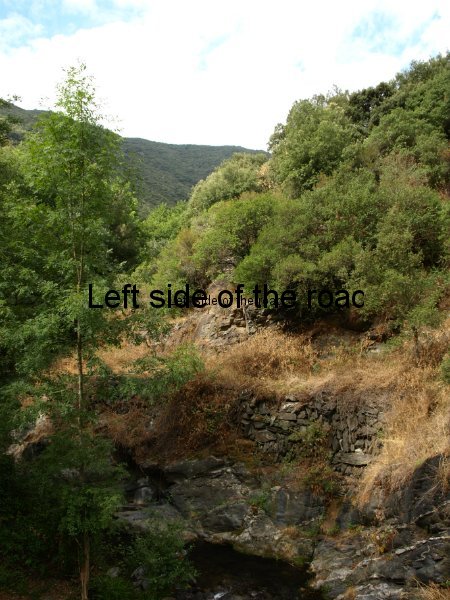
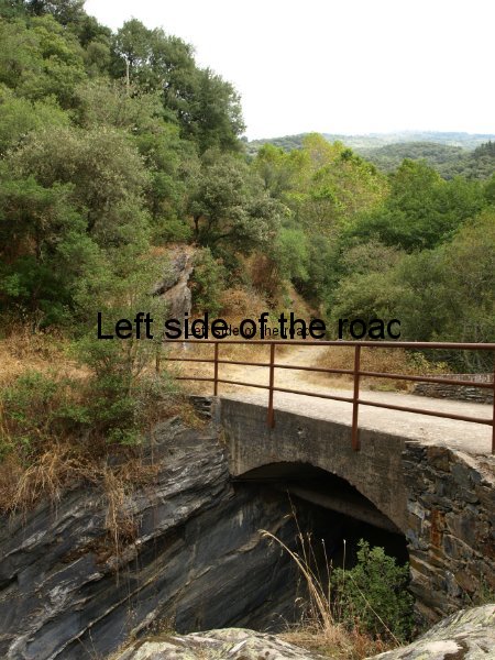
The slideshow is a selection of pictures from the 4 days of walking.

