Ixkun
More on the Maya
Ixkun – Guatemala
Location
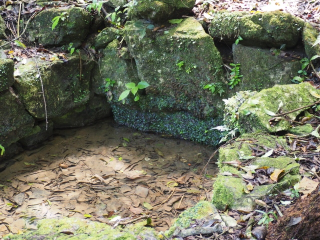
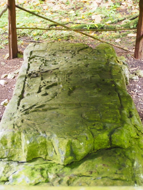
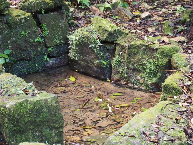
The site is located 6.5 km from the town of Dolores, Peten, near the city of Poptun. You can reach Dolores by road, and the archaeological area by a dirt track in good condition. It is surrounded by a forest with rich primary species, which measures 25 sq km and has National Park status. Two crystalline streams cross the site from east to west, and in the rainy season they often burst their banks. To avoid floods, the builders laid fillings of loose stones under the plazas so that the water could run between them and find their own exit, thus avoiding flooding. The system still works today. Ixkun is situated in the Maya Mountains and its importance lies in that it was able to exploit its geographical position near the rivers Mopan and Xaan to control the fluvial trade routes. It achieved great economic prosperity and was a strong political presence in the region, dominating several smaller centres. It has 51 architectural groups and was occupied from the Preclassic to the beginning of the Postclassic, although its peak occurred between AD 600 and 800.
History of the explorations
The site was discovered by Modesto Mendez in 1852, who also recorded Tikal when he was the governor of Peten. As time went by, other explorers arrived to photograph, draw and map the nine stelae. The first formal investigations were undertaken in 1985, following the arrival of archaeologists from the Archaeological Atlas, who work for the Guatemalan Institute of Anthropology and History.
Pre-Hispanic history
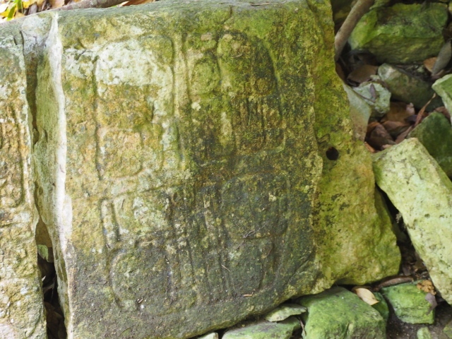
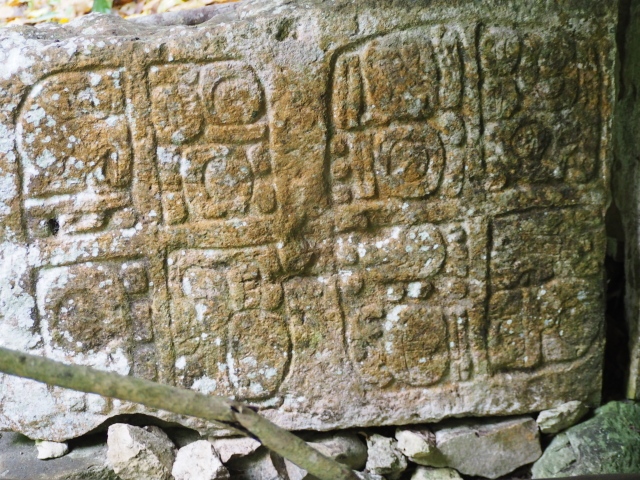
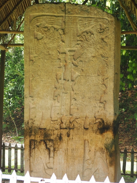
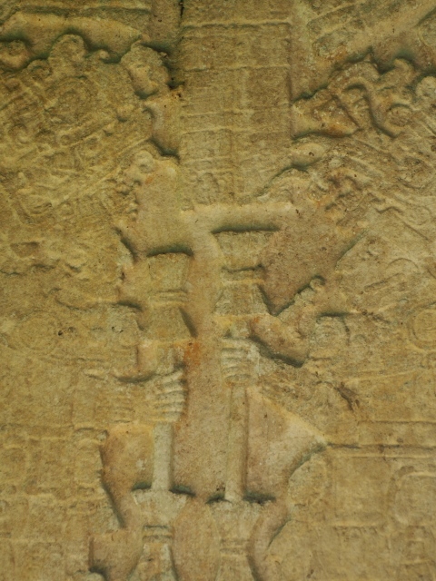
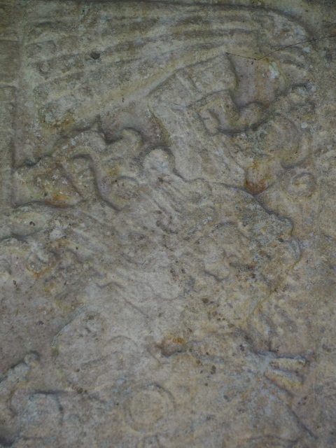
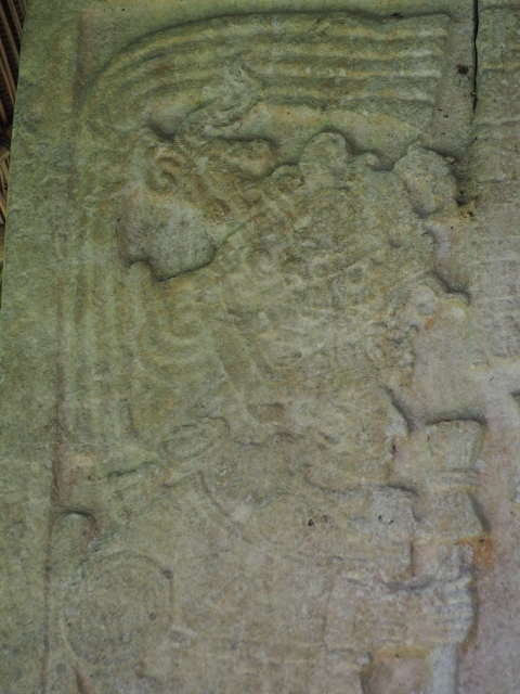
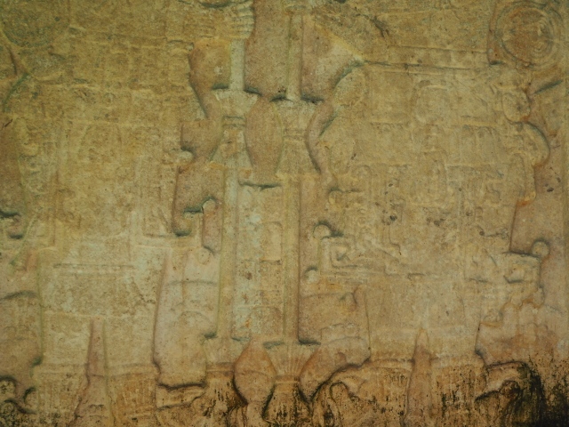
The epigraphic studies have revealed historical references to Ixkun. Five monuments mention events associated with changes in the political organisation between AD 766 and 800. Stela 2, dated to AD 779, refers to two wars waged against Sacul and Ucanal in which Ixkun emerged victorious and with greater power. The political strength of the Maya city is also revealed by the inscriptions on Stela 1 which make reference to the ruler Rabbit God K of Ixkun and the sovereign Ch’iyek of Sacul, and the alliances struck through a royal marriage.
Site description
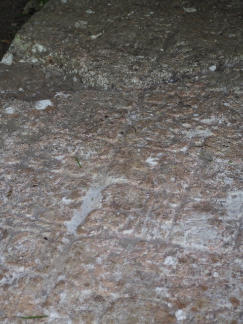
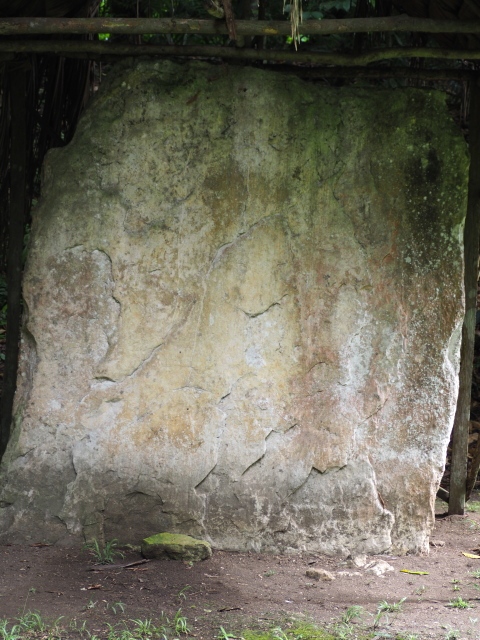
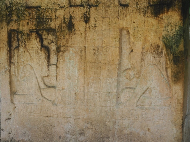
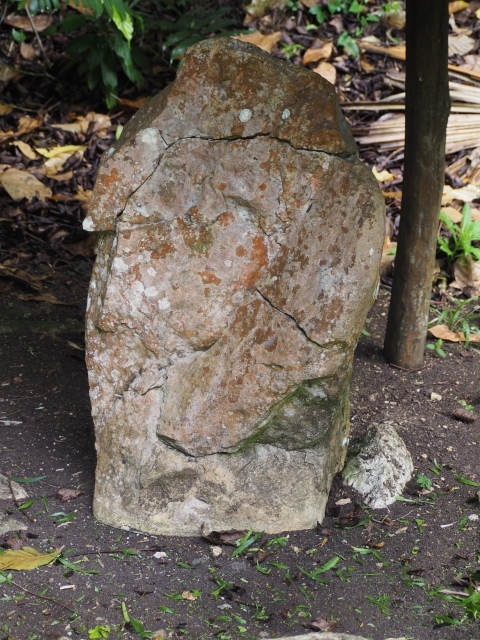
The main complexes are situated in the middle of the city and comprise large buildings where political, administrative and ceremonial activities were conducted. The most notable spaces are the North Plaza, the Central Plaza and the South Plaza, as well as two causeways more than 200 m long that connected the important groups. The North Plaza is the most important such space at Ixkun and it is here that the Astronomical Complex, used for recording the solar cycle and the calendars, is situated. Several sculpted monuments were erected in the middle of the plaza, including stelae 1, 2 and 3, Altar 2 and other monuments. Stela 1 is particularly monumental; it is the tallest stela in the whole of Peten and was erected in AD 790. The South Plaza is the largest square and comprises the Ball Court and the Acropolis. This court from the Late Classic has a north-south axis and measures 17.40 m in length and 3.50 metres in width. The Acropolis is the most complex construction at Ixkun and was built at the top of a modified limestone hill. In the South Group, three caves were found at the base of several natural mounds and 30 vessels were discovered inside them. The traces of copal, tar, coal, ocote wood and strips of burnt wood confirm that the caves were used for religious activities from the year 200 BC. The residential areas are situated in the north and south sections, comprising 35 groups of four or five buildings each, making a grand total of 175 dwellings. These are low platforms on which wattle-and-daub houses were built and, near them, chultunes for storing grain.
Juan Antonio Valdes
From: ‘The Maya: an architectural and landscape guide’, produced jointly by the Junta de Andulacia and the Universidad Autonoma de Mexico, 2010, pp230-231
How to get there:
It’s about 7km on a fairly rough country track from the town of Dolores. If you have plenty of time – and the inclination – it might be a pleasant walk, through a mixture of farm land and fairly established jungle but it will be hot. I am not aware of any safety issues but it might be worth checking. Or you can negotiate with a mototaxi (tuk-tuk) driver, there are always many in the centre of town. It’s a bargaining matter and no one will be worse at that than me. You would probably also want to do a two way trip with a wait. However, it’s not a very big site (see the pictures in the slide show) so it wouldn’t need a long stay.
GPS:
16d 34’16” N
89d 24’33” W
Entrance:
Free
More on the Maya