Hormiguero – Campeche
Location
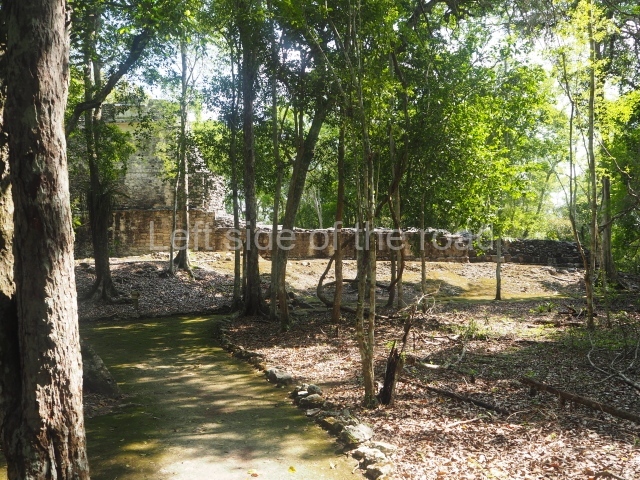
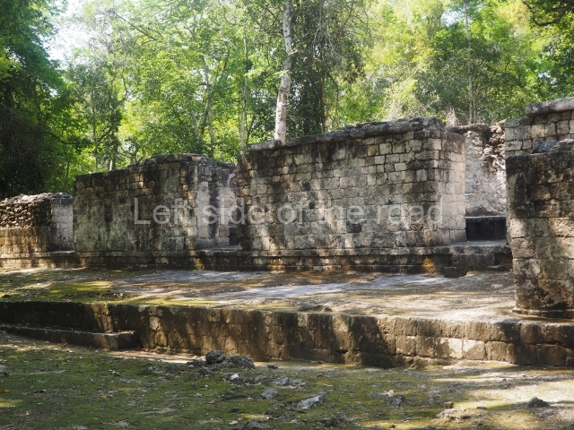
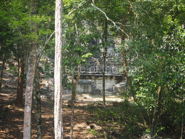
To reach this site, take the asphalt road that leads south from Xpujil then head west at km marker 13.5 to the Echeverria Castellot II community, before Carrizal. Just before you reach the village, follow the road north for another 8 km. The pre-Columbian ruins are surrounded by areas of medium to high rainforest. Some patches of high rainforest grow among the ruins. The neighbouring communities have cleared certain areas for farming purposes and livestock breeding. The pre-Hispanic settlement is distributed over a practically flat terrain with just a few slight natural elevations in the south section. It comprises various clearly defined architectural complexes that form plazas and rectangular courtyards. Around these are several groups of platforms and the dwelling foundations, but none with the monumentality of the central spaces. The name Hormiguero is derived from the anthills that the rubber tappers used as points of reference in the rainforest. In the mid-19th century there was a large nest of leaf-cutter ants in a section of the archaeological ruins; these ants can clear vast areas of vegetation at ground level, drastically altering the thick greenery. It was this dramatic circumstance of a space devoid of vegetation that led this name to be adopted.
Timeline and site description
The earliest archaeological materials found at Hormiguero reveal that its construction and demographic boom occurred between AD 600 and 800. The site then gradually lost its political and economic strength, culminating in the mid-13th century when the settlements in the region were abandoned.
Structure II
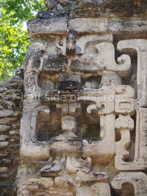
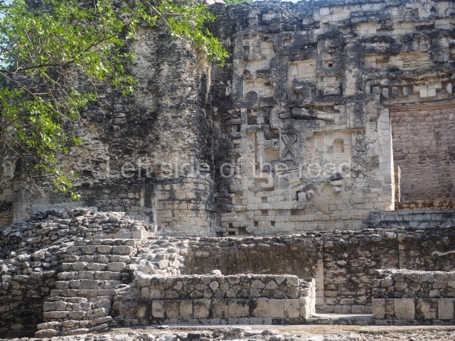
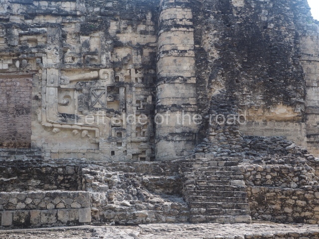
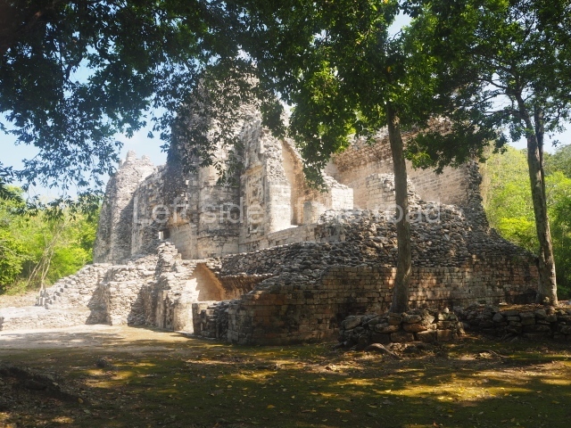
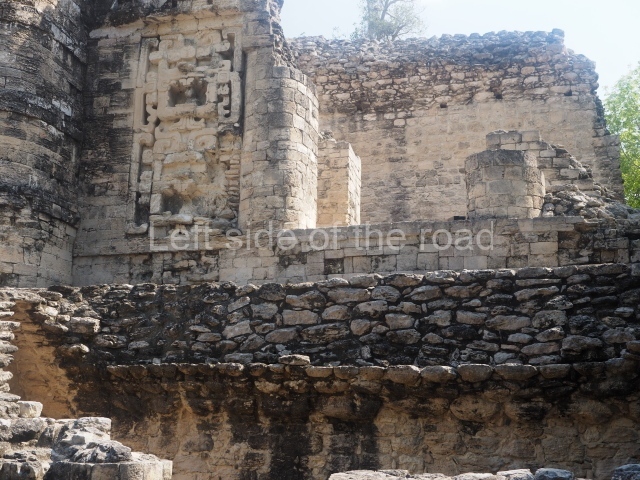
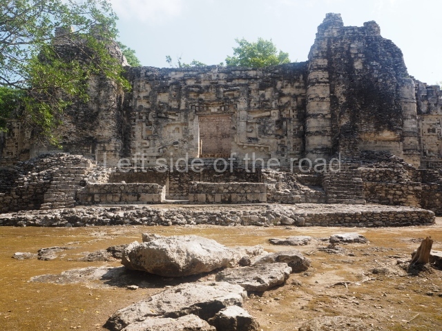
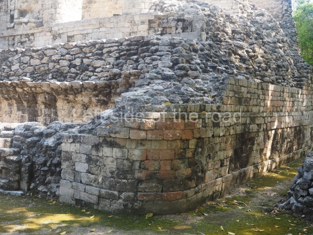
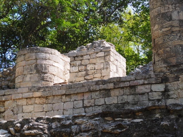
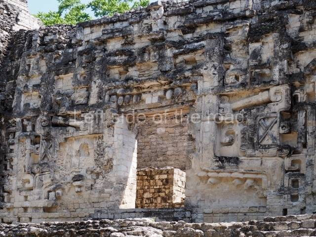
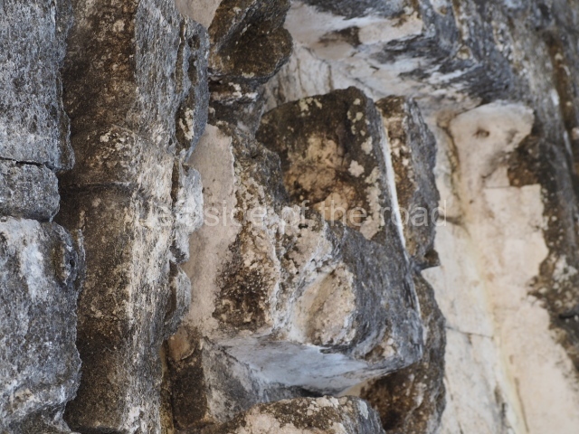
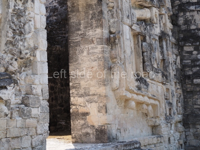
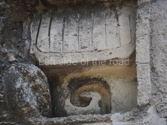
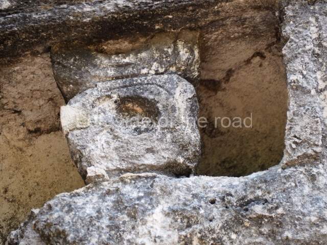
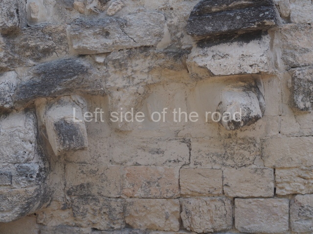
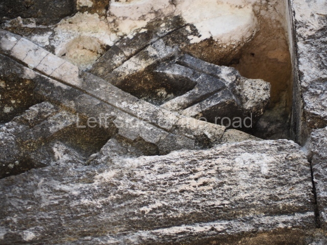
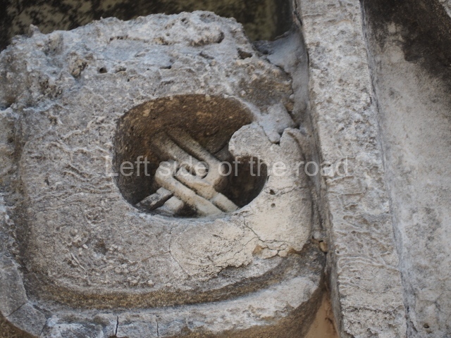
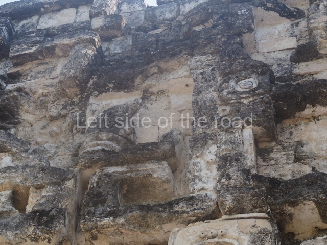
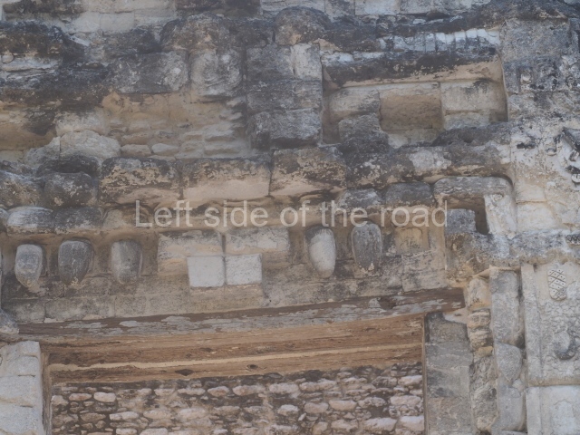
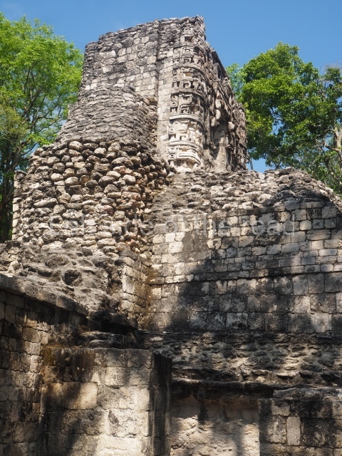
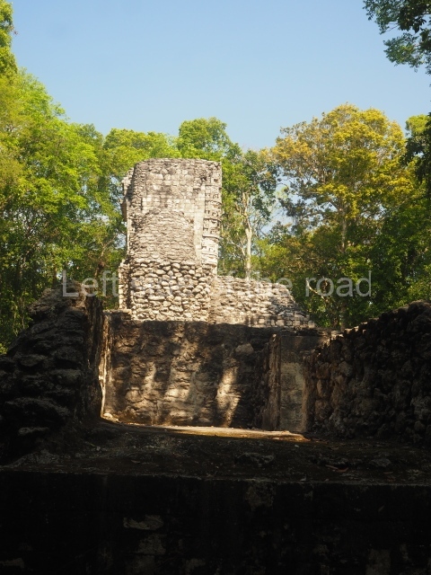
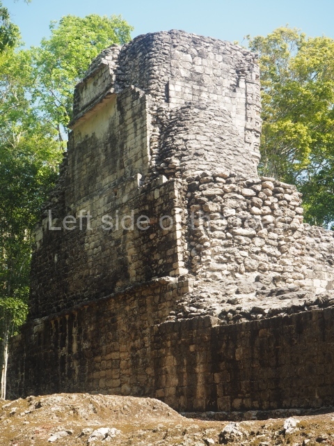
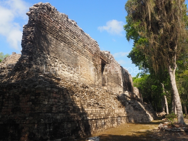
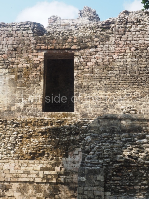
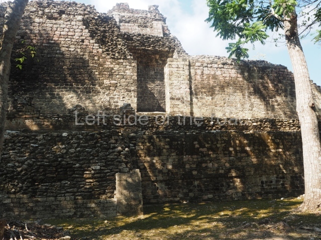
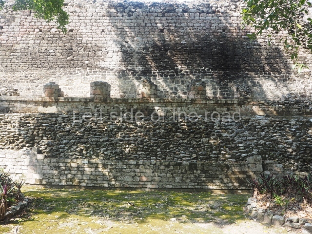
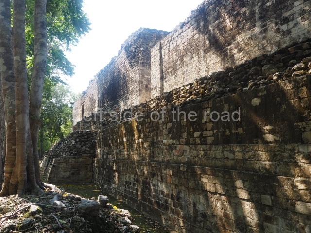
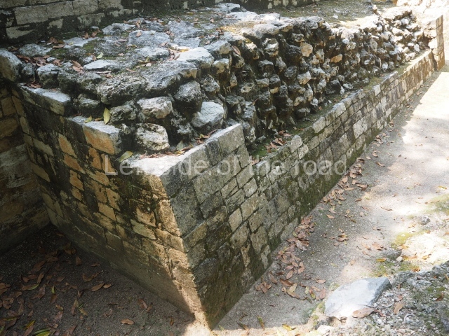
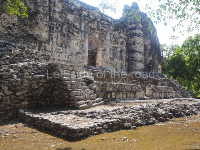
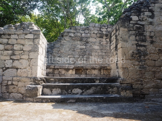
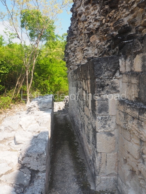
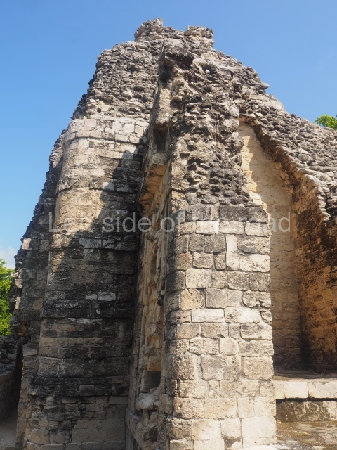
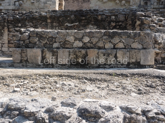
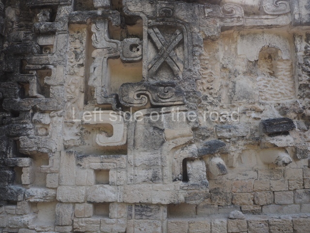
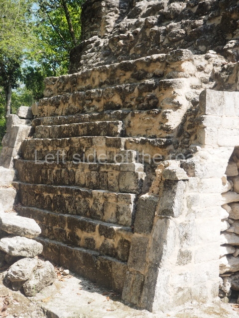
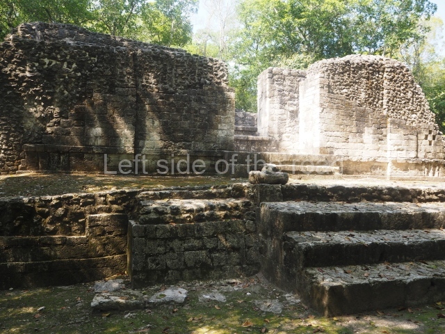
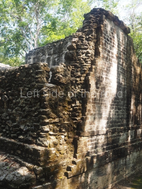
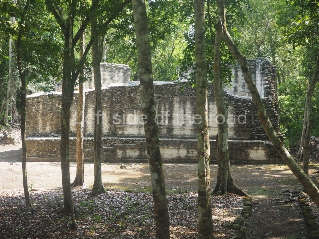
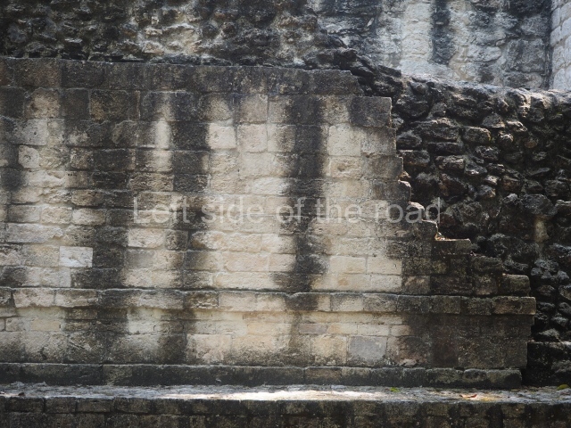
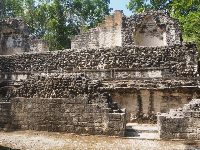
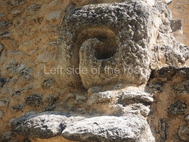
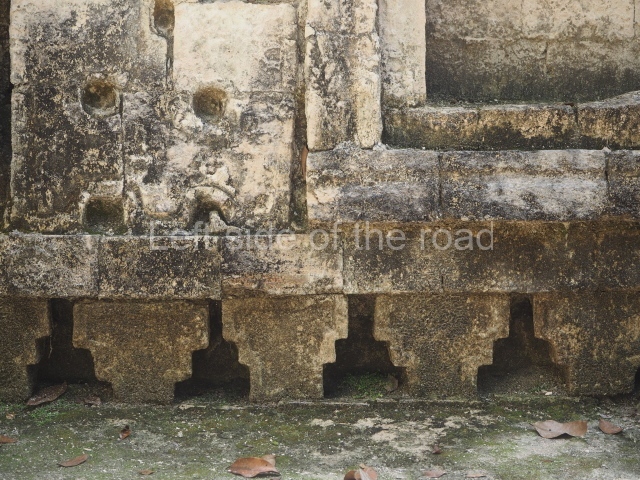
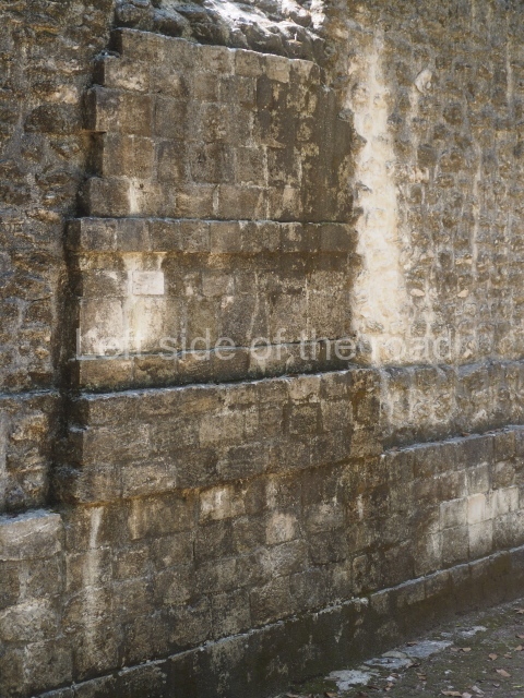
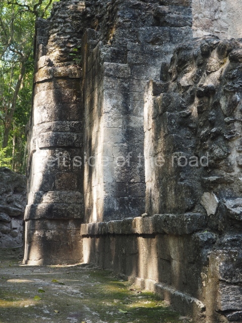
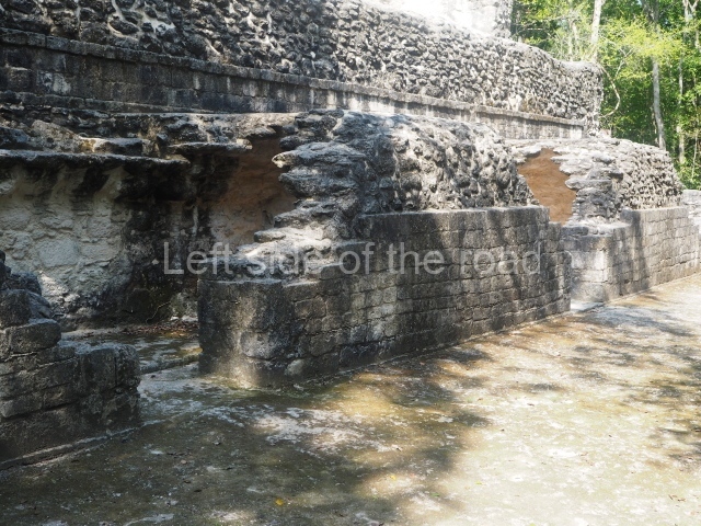
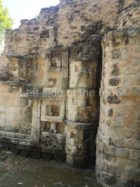
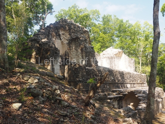
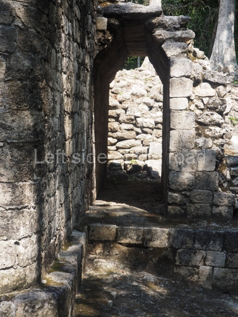
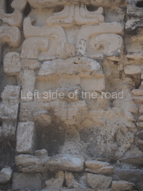
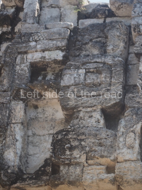
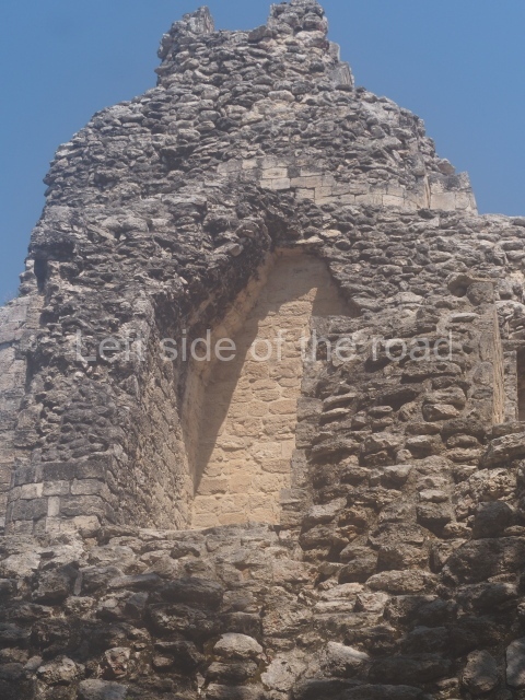
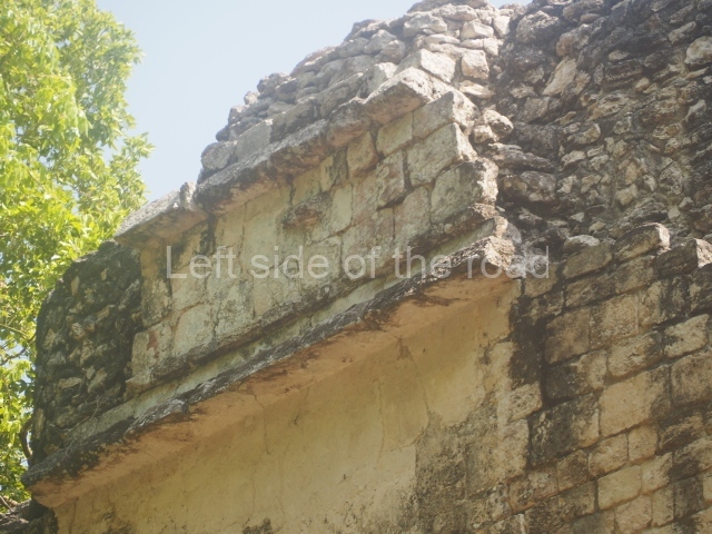
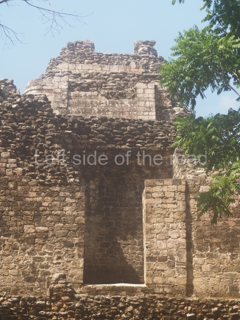
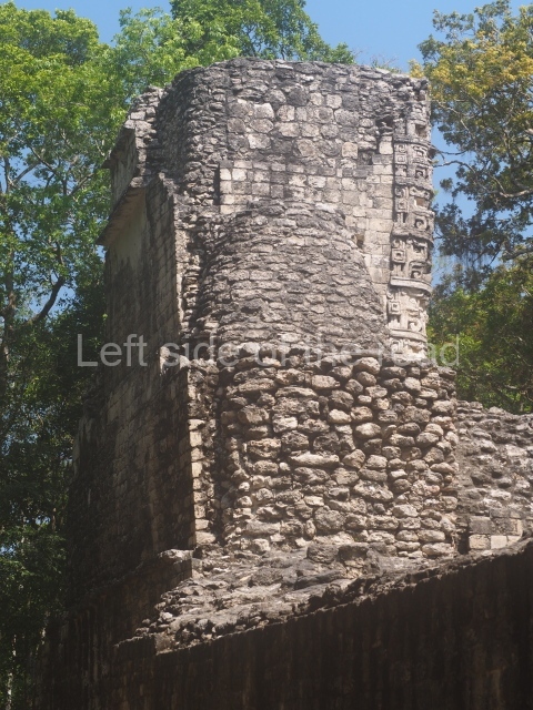
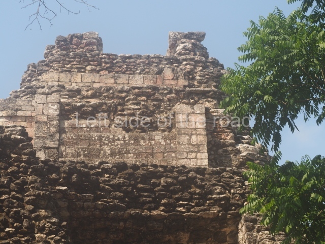
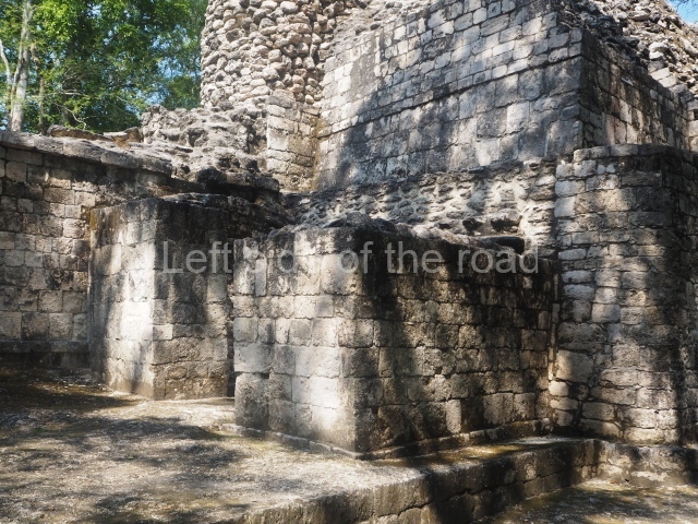
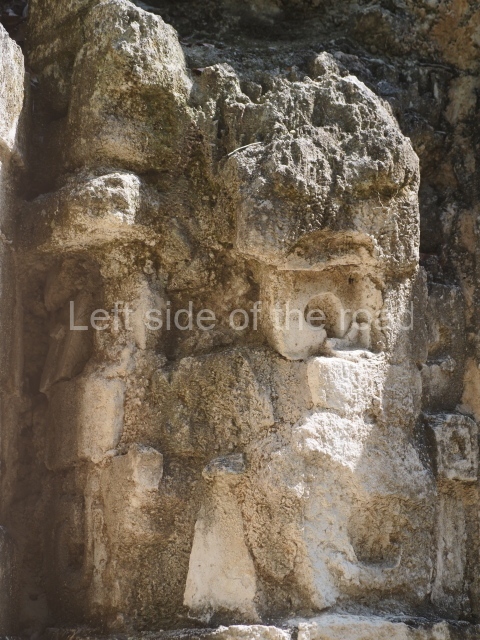
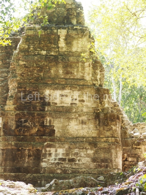
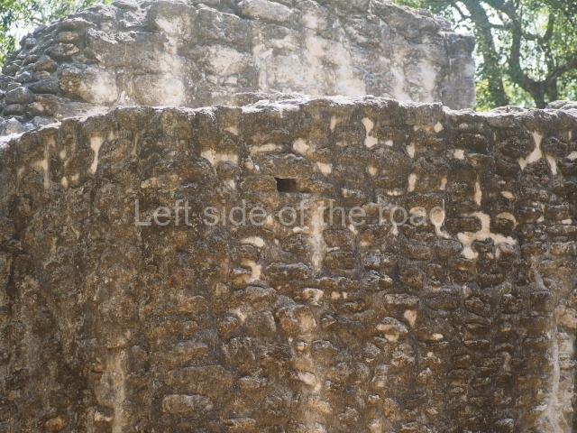
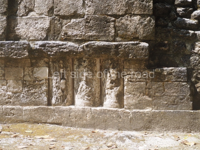
The first building we come to is an imposing Rio Bec-style construction over 40 m long and 20 m wide, whose central facade displays an enormous mask of Itzamnaaj, one of the principal Maya gods. The mask is made of masonry and stucco; it measures 13.5 m in length and 7.8 m in height, thus constituting the largest such mask in the Rio Bec region. The mask is flanked by two towers with nonfunctional stairways and simulated temples at the top, representations of the sacred mountain from which the powerful god emerged. The spaces in front of and behind the central entrance to the structure create an excellent stage that would have been used for holding ceremonies. Both the architectural programme and archaeological evidence confirm that the construction functioned as a residence for the elite, who manifested their close relationship with the supernatural world by surrounding themselves with awe-inspiring religious symbols. The building has three rooms on the first tier of the south side; these correspond to an early construction phase in the 5th century AD. Two small stairways lead to the next tier, built around 700 AD, where another six large spaces equipped with benches served as sitting rooms or bedrooms. This tier also contains various other roofed spaces, such as a vaulted passageway to facilitate circulation in front of the towers and a narrow chamber in each of these volumes. On the north side are elements that recall Structure VIII at Becan – namely, eight masonry columns of imposing height and width that once led to a long gallery. This space is flanked on each side by a vaulted room with its own entrance, separate from the remaining parts of the structure.
Structure V.
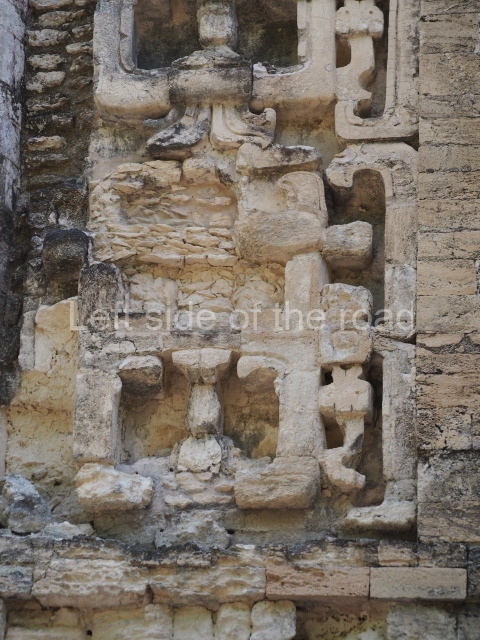
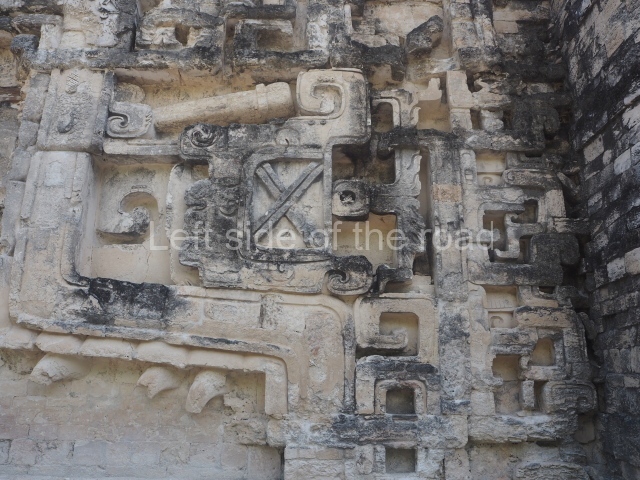
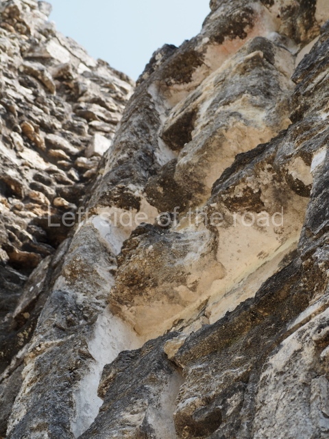
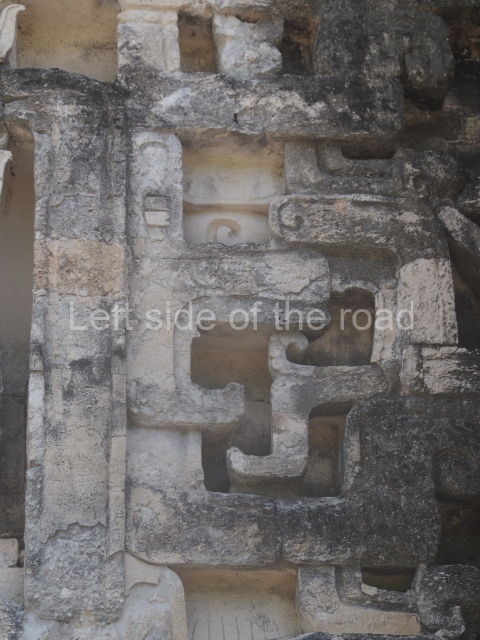
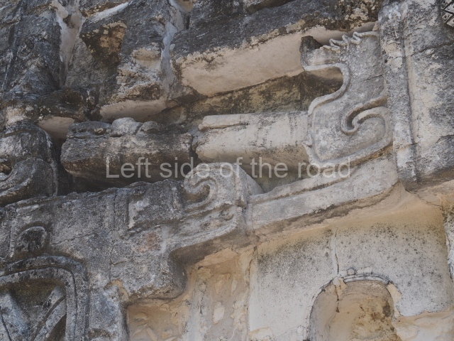
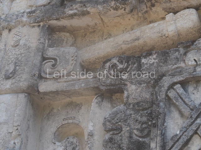
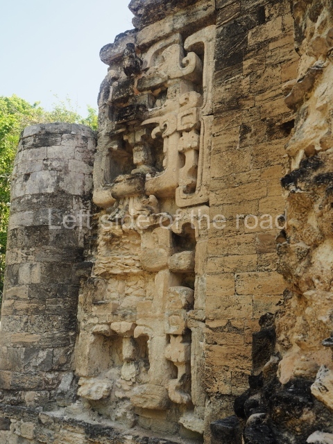
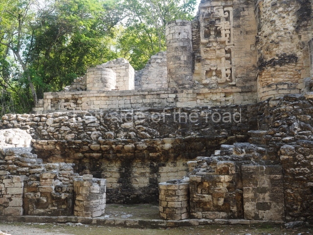
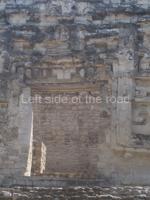
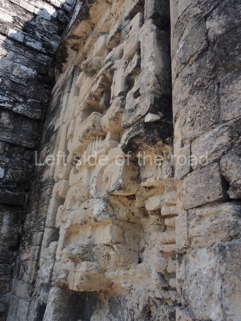
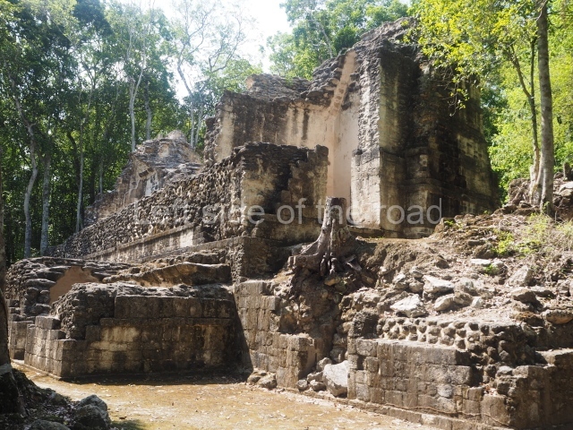
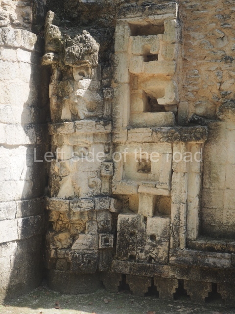
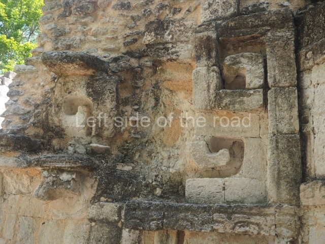
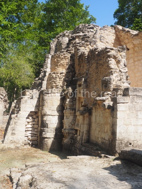
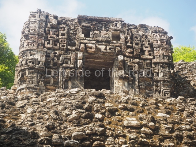
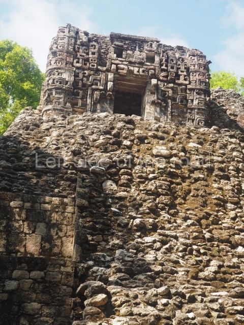
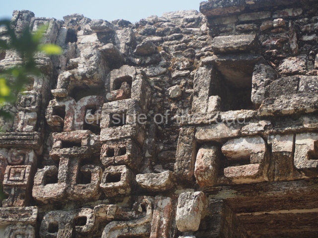
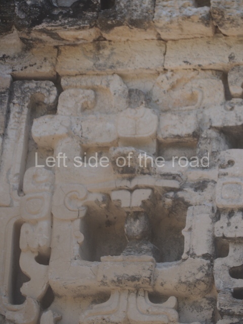
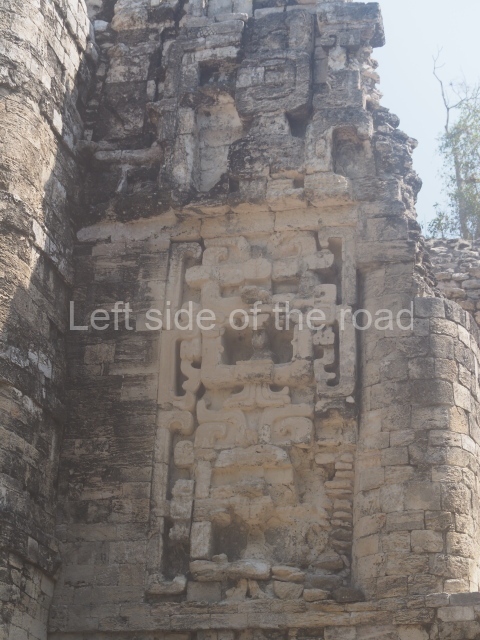
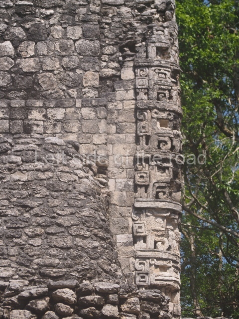
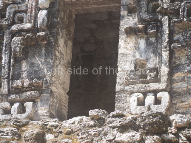
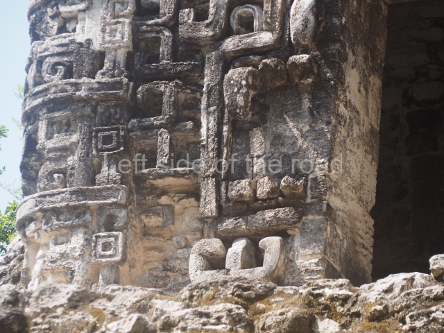
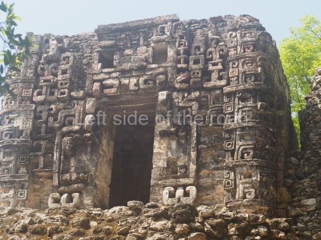
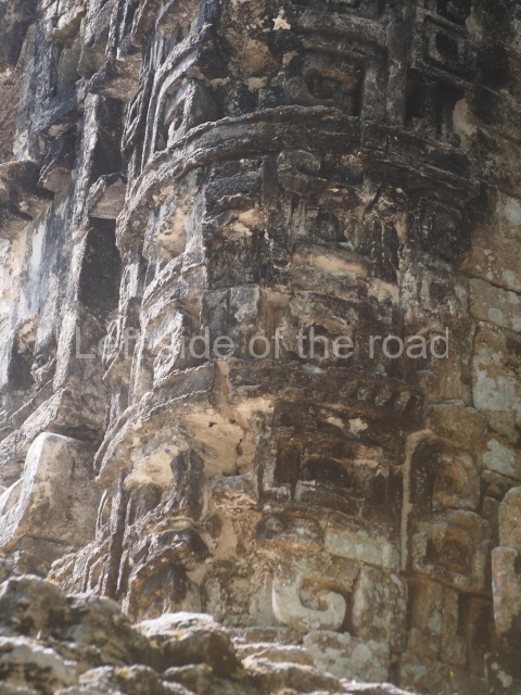
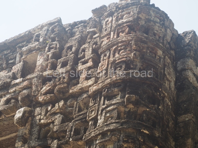
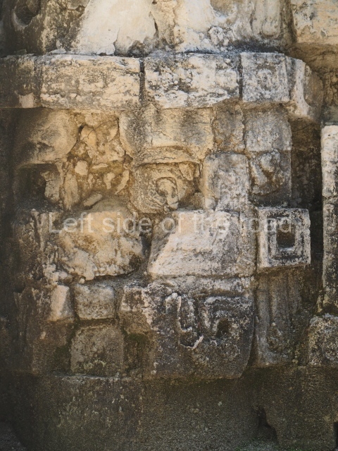
This two-tier partially excavated building is situated approximately 60 m north of the previous structure. The ground-floor tier once contained a series of large rooms, while the central part of this level is enhanced by a small platform with a temple. Behind the stairway is a passageway that not only saved filling material but also facilitated the flow of movement through the building. The profuse temple decoration evokes a type of horror of the void, with volutes and iconographic elements covering the entire surface. The main entrance very clearly imitates the jaws of the Earth Monster, with its curvilinear teeth. On both sides of the entrance, forming the corners of the building, are stacks of masks; such features are typical of the architecture still visible on buildings in the region, such as Structure XX at Chicanna and the temple-palace at Tabasqueno, in north-eastern Campeche.
Importance and relations
Hormiguero is situated in the heart of the Rio Bec architectural region, between Becan and Xpuhil in the north, and the various Rio Bec groups in the southeast. Its commercial relations probably extended to Chetumal Bay, with links with Nicolas Bravo and Kohunlich, as well as with the pre-Hispanic sites in what is now northern Belize.
From: ‘The Maya: an architectural and landscape guide’, produced jointly by the Junta de Andulacia and the Universidad Autonoma de Mexico, 2010, pp334-335.
- Structure I; 2. Structure II; 3. Structure III; 4. Structure V; 5. Structure VI; 6. Structure VIII; 7. Structure IX.
Getting there:
This is almost impossible without your own transport – unless you contract a local taxi to take you on a tour of the four ‘local’ sites – Hormiguero, Xpujil, Becan and Chicanna.
GPS:
18d 24’36” N
89d 29’34” W
Entrance:
Free.


