Oxtankah – Quintana Roo
Location
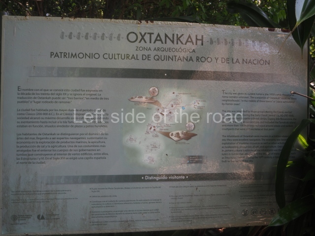
This archaeological area is situated 16 km north of Chetumal and barely 1 km from the Caribbean coast in a flat and slightly uneven area. The surrounding vegetation is tropical and of low to medium height. The climate is damp and hot. The Yucatec Maya word that refers to the site means ‘three towns’: ox, three; tankah, settlement. It may well be a reference to the three communities that occupied this area in the 16th century. In order to facilitate the political and economic control over Indian villages, the Spanish authorities would ‘reduce’ or group several towns into a single place.
Timeline and site description
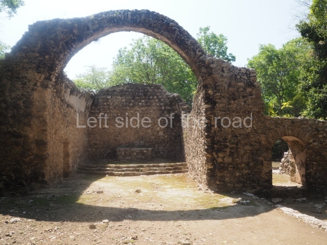
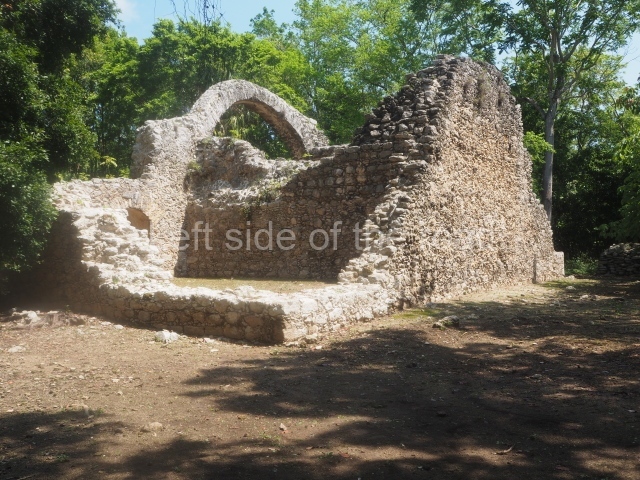
The different explorations have revealed that the earliest ruins date from the Preclassic period. The settlement prospered and built major works in the Peten style throughout the Early Classic and was then abandoned in the Classic period, around AD 900. It was then reoccupied, albeit with a smaller population, in the Postclassic (AD 1000-1500) and finally appears to have been the site of several indigenous communities under Spanish rule. This explains the existence among the pre-Columbian constructions of a ruined chapel from the 16th century.
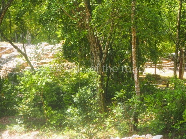
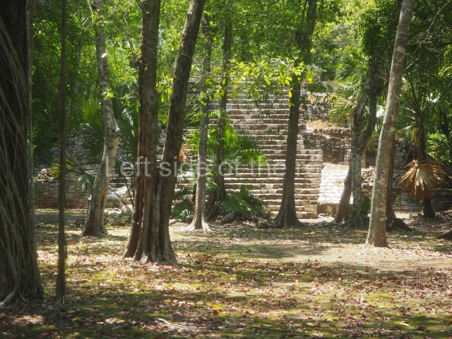
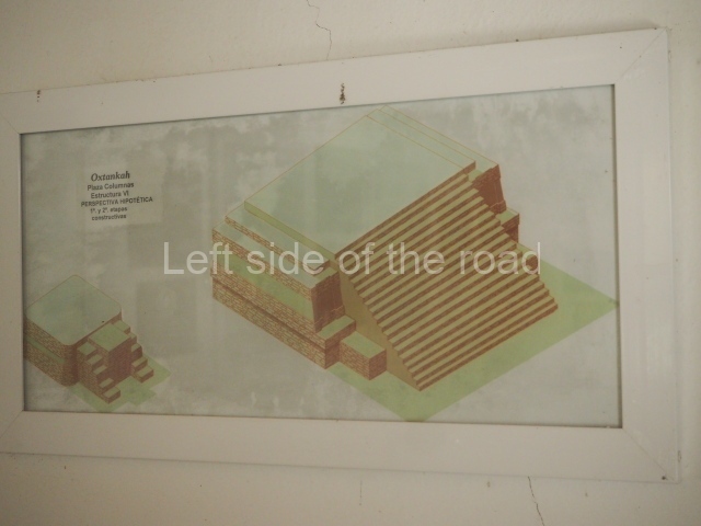
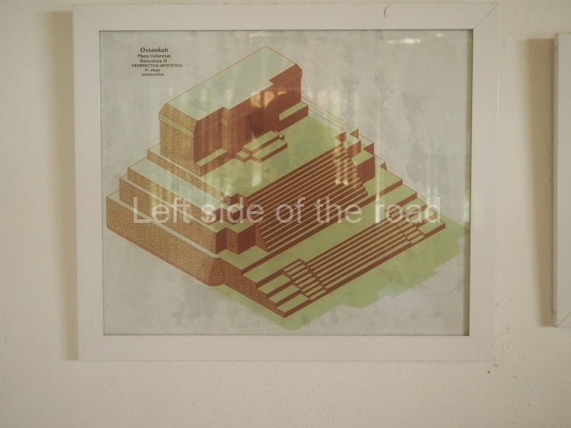
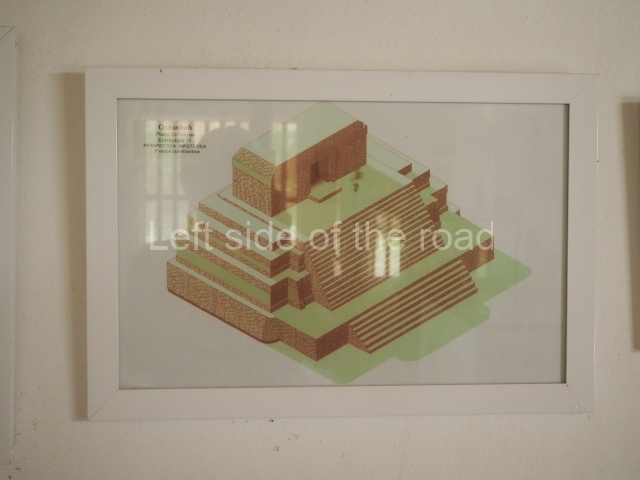
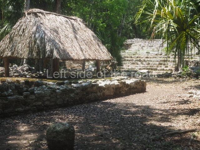
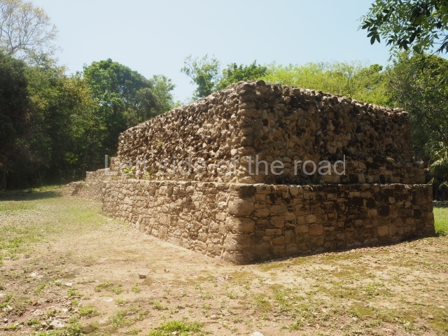
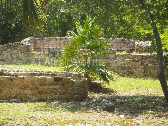
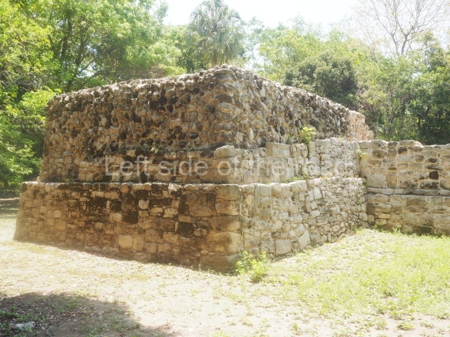
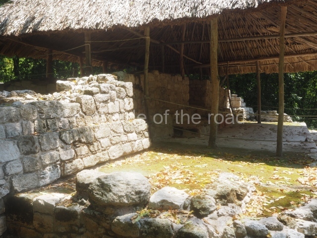
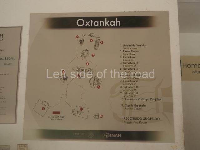
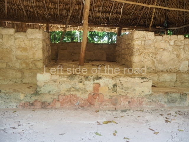
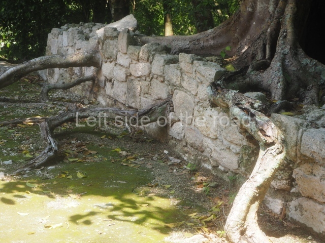
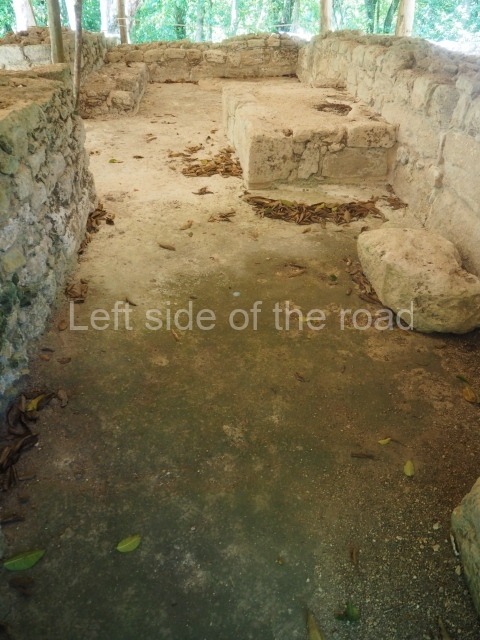
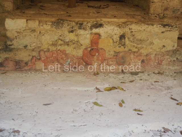
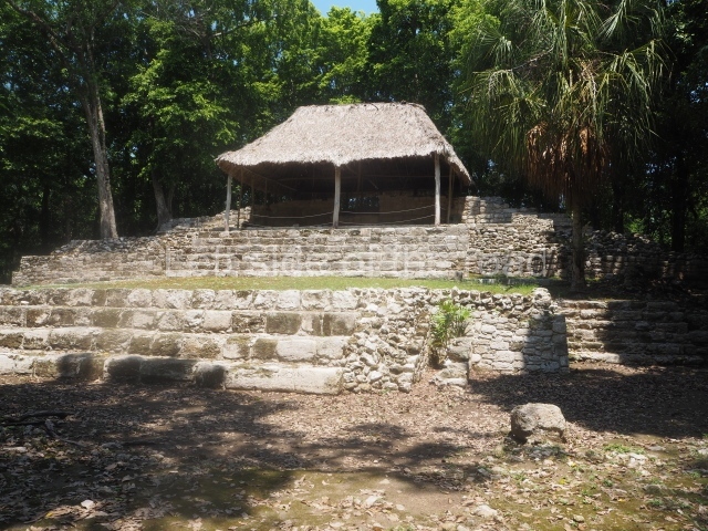
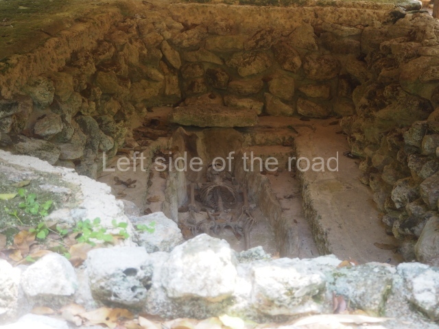
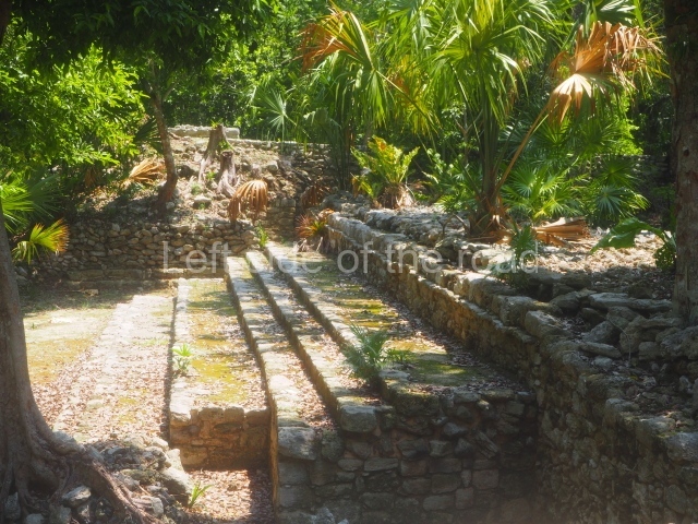
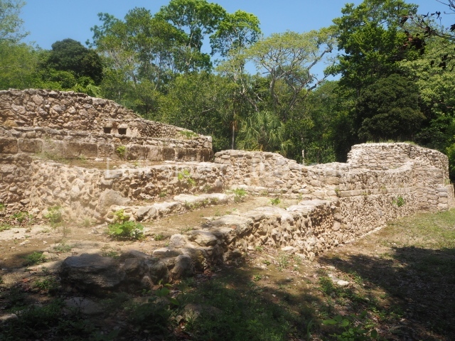
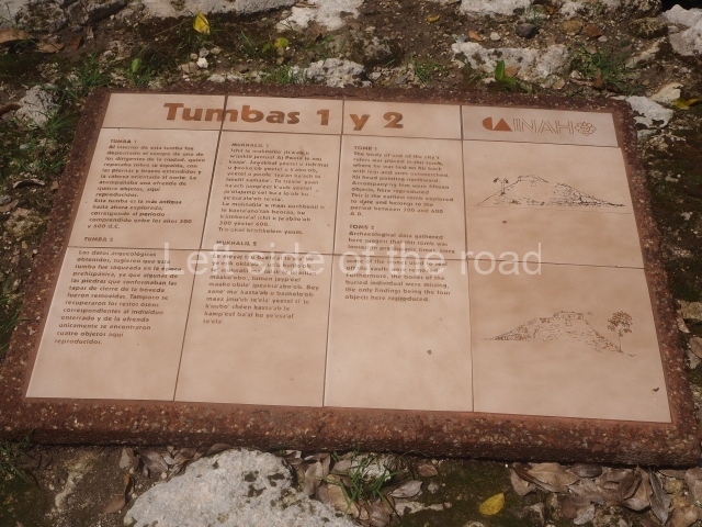
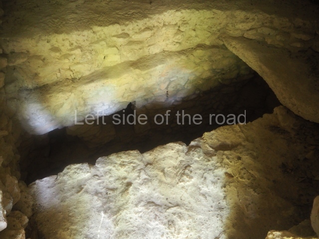
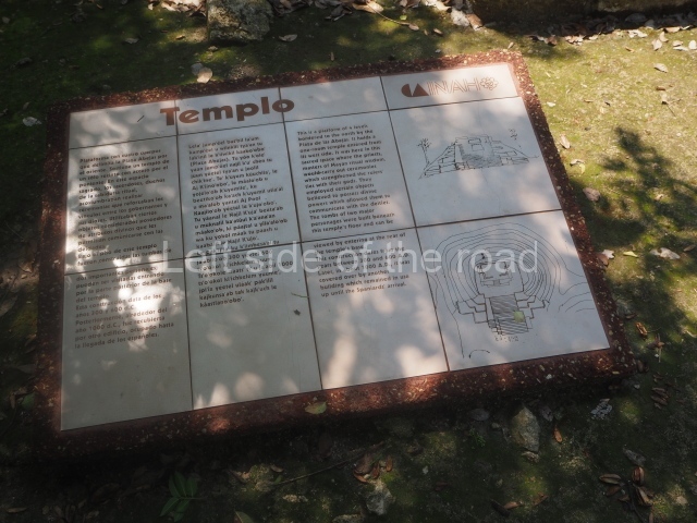
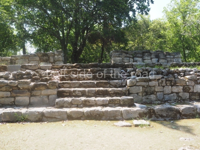
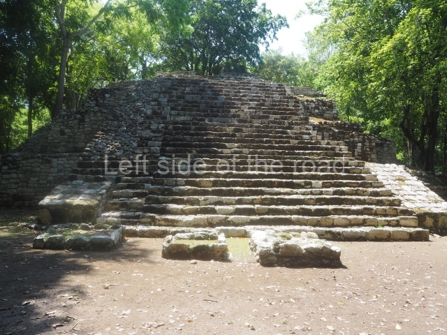
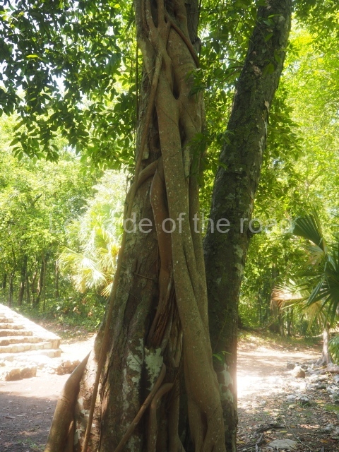
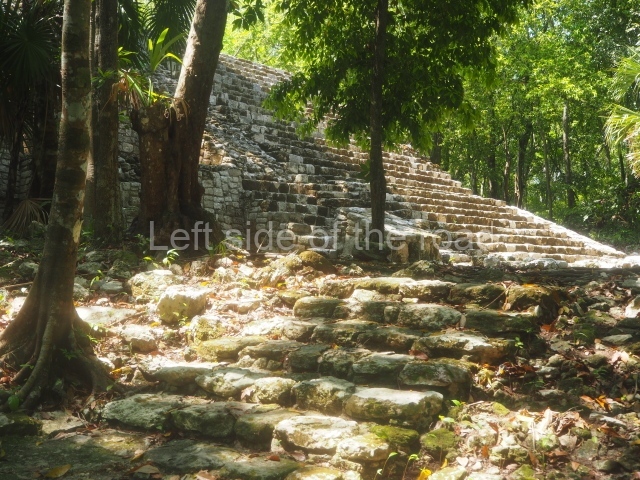
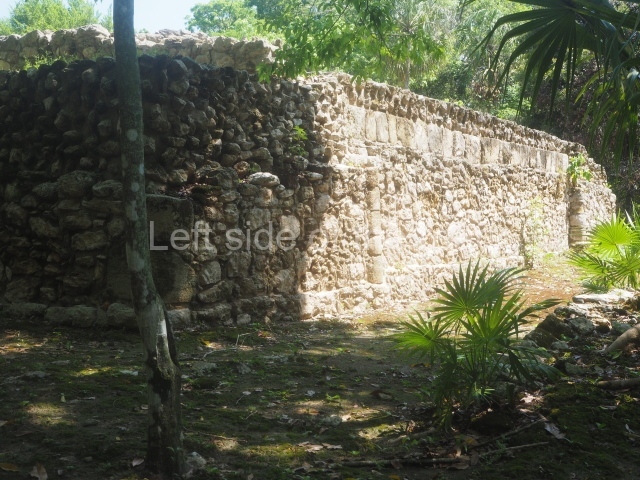
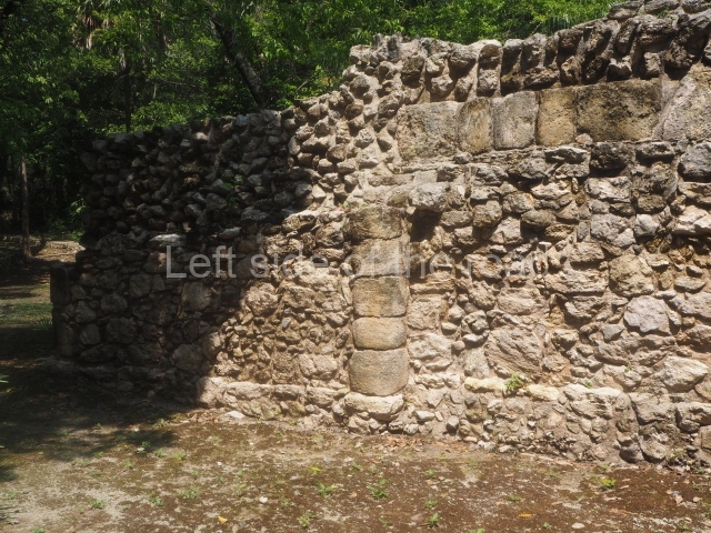
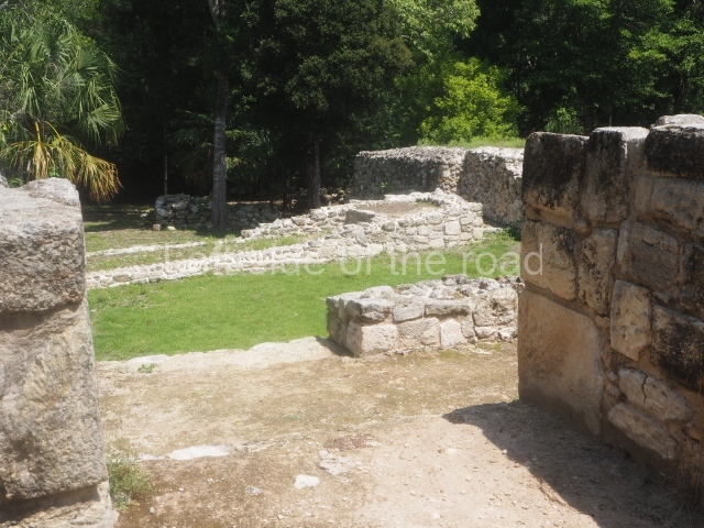
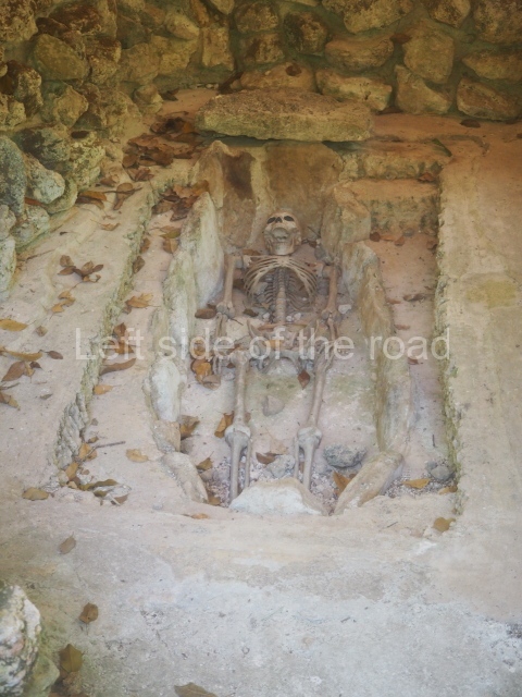
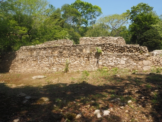
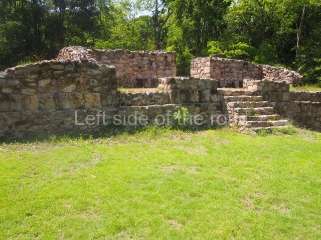
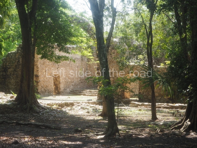
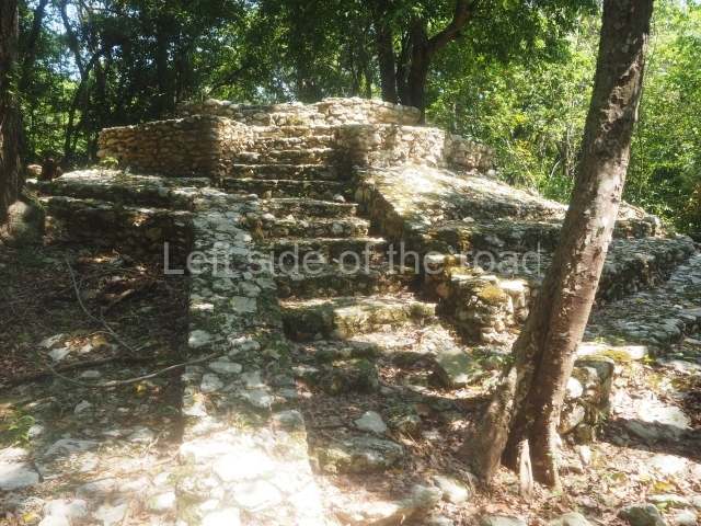
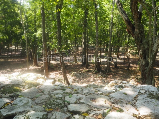
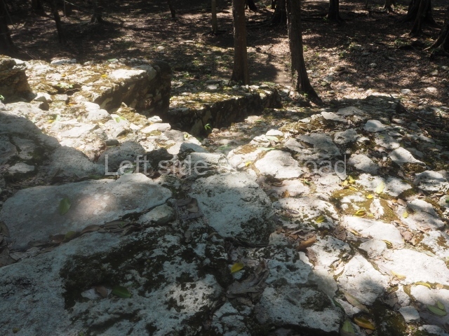
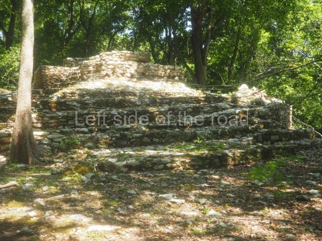
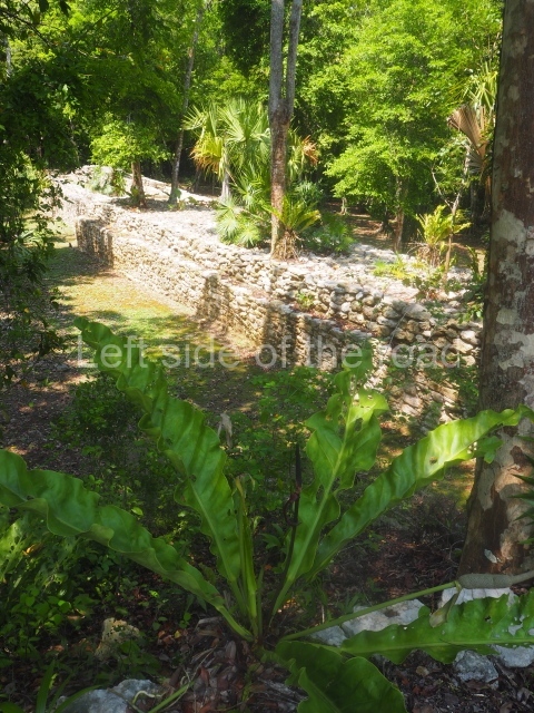
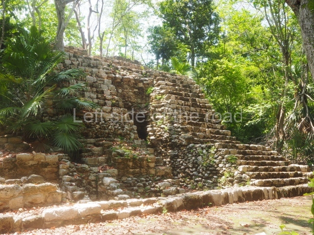
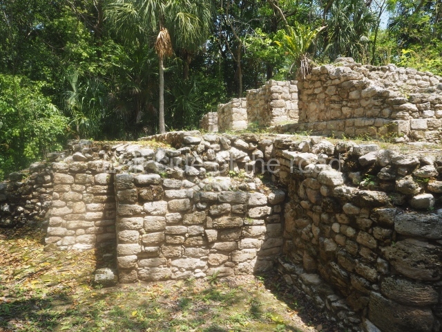
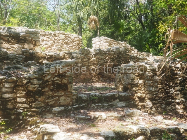
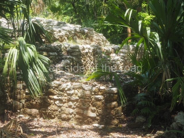
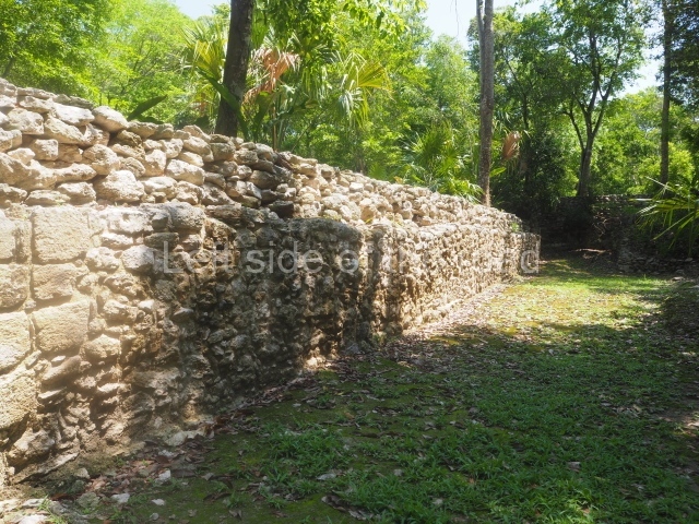
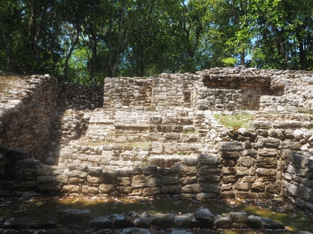
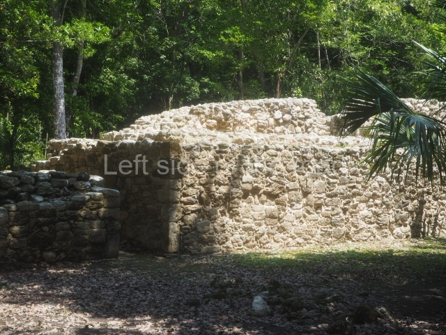
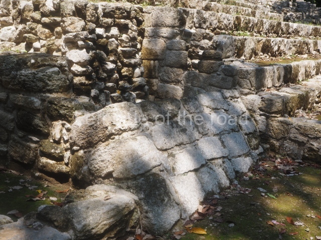
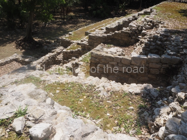
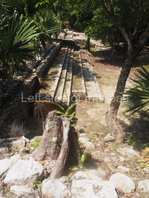
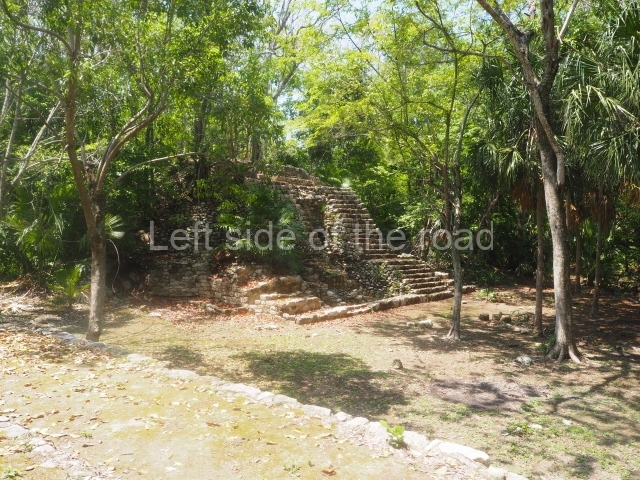
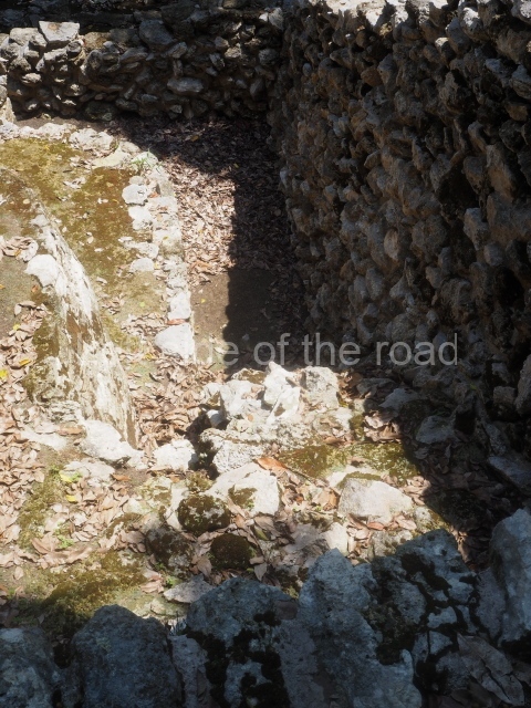
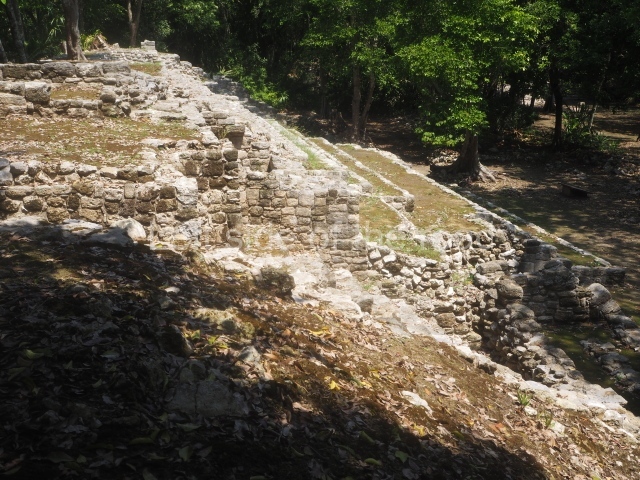
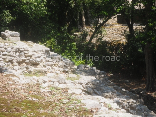
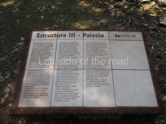
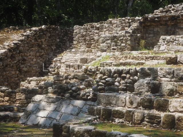
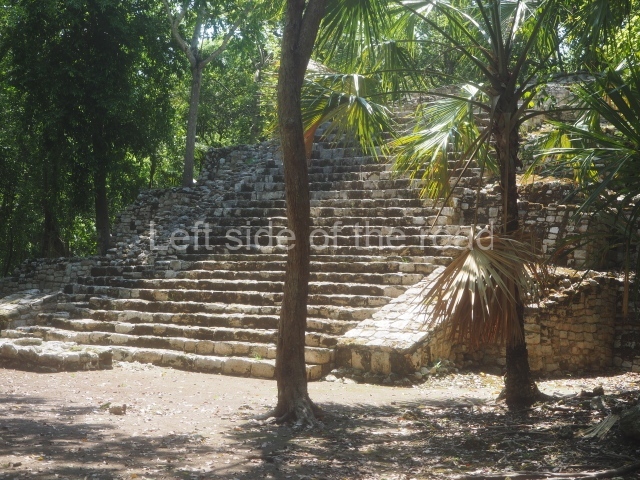
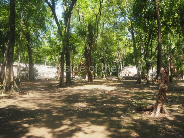
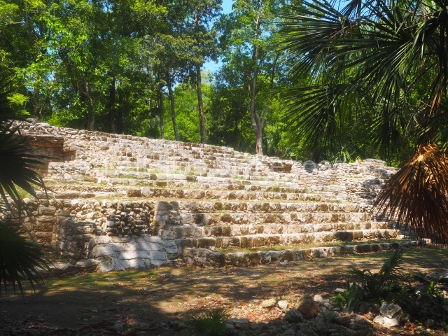
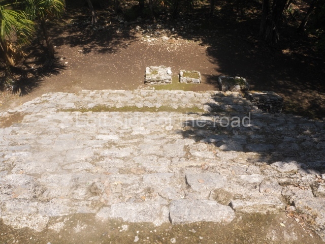
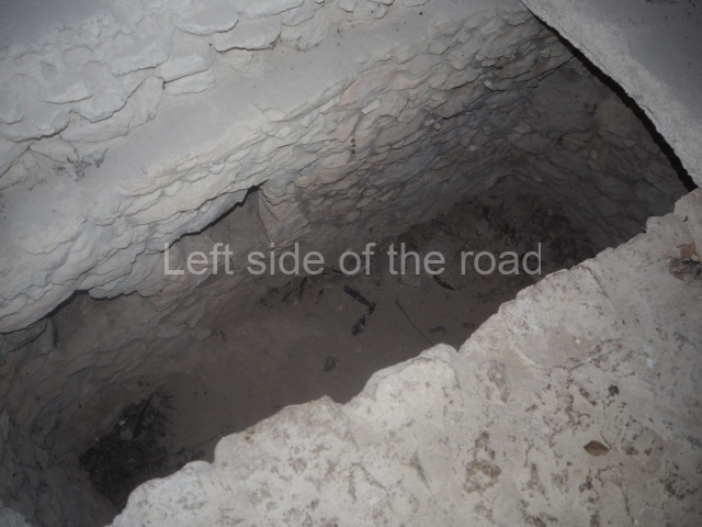
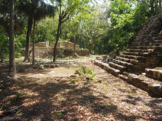
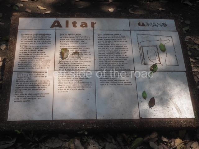
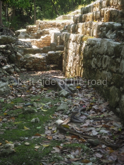
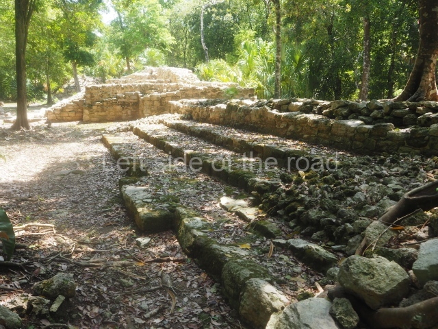
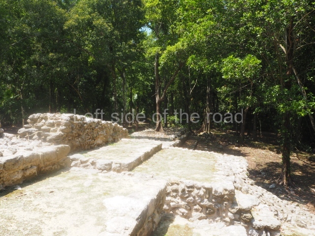
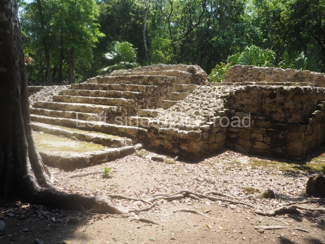
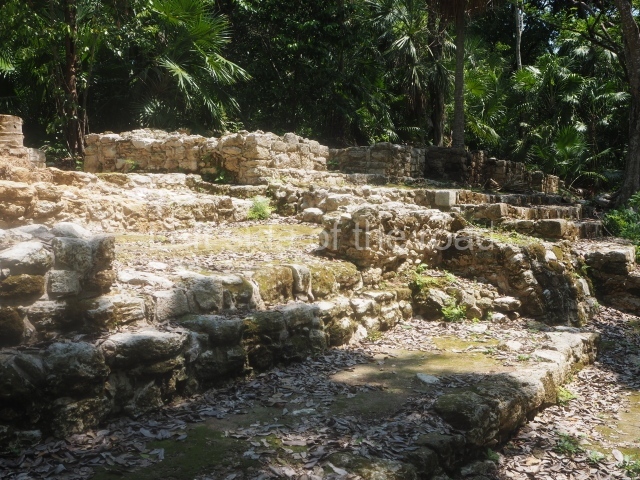
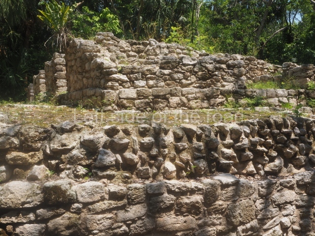
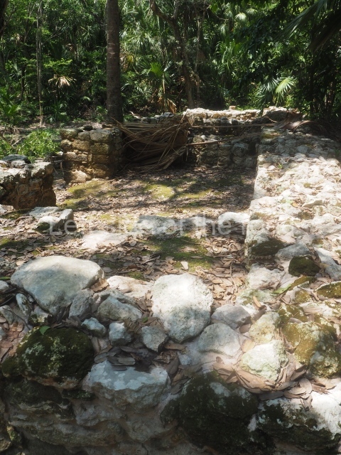
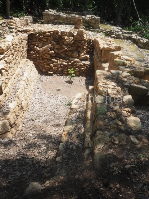
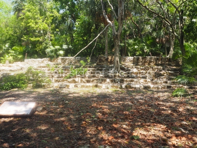
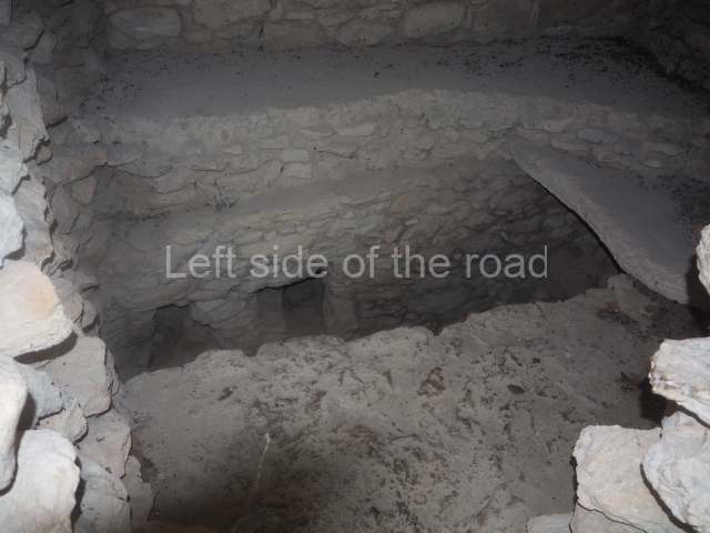
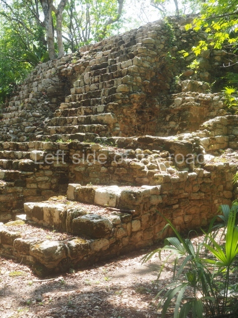
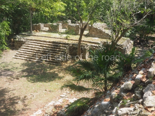
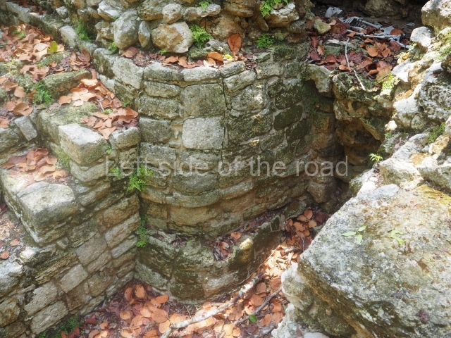
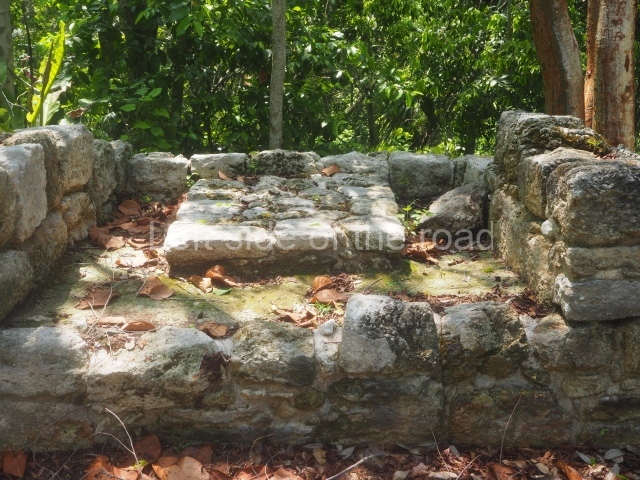
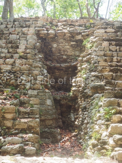
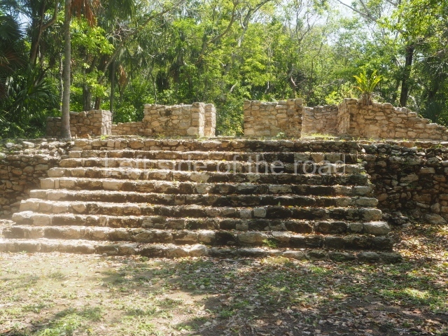
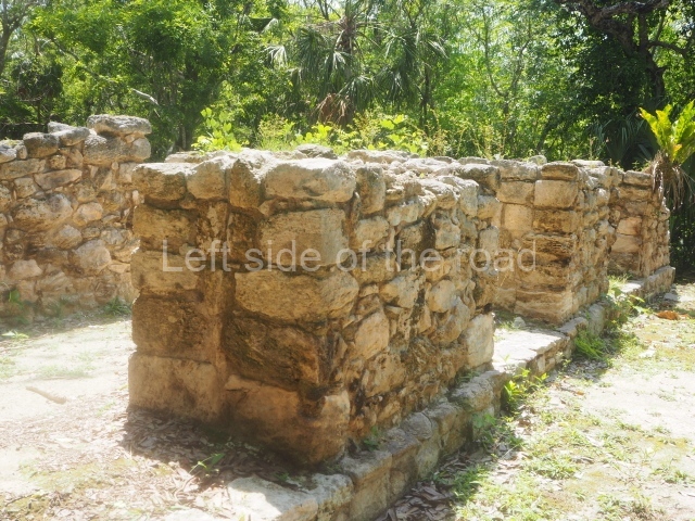
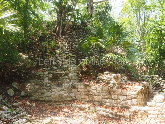
Oxtankah is a medium-sized site with several constructions open to the public; most of the remaining ones are covered by vegetation. In some of the platform groups the Maya built chultunes or underground cisterns. The Plaza of the Columns, which is situated south of the area open to the public, is surrounded by several constructions. The most important of these is Temple VI, where five tombs with their grave goods, possibly corresponding to rulers of the site, have been found. Situated in the central part of Oxtankah is another group of constructions and platforms of varying sizes, called the Plaza of the Bees. Temple I has also been excavated, revealing the tombs of two other dignitaries. Meanwhile, in the northern section of the site are the ruins of a viceregal chapel built in the 16th century and occupied until the middle of the following century.
Importance and relations
Oxtankah was a community that expanded during the early centuries of the Common Era due to the exploitation of the marine and coastal resources, the concentration of a relatively large population and intense participation in two coastal routes: one leading north, to Ascension Bay and the Bay of the Holy Spirit; and one leading south, to the coast and sites in northern Belize. Its contact with inland places may have supplied coastal products and materials to sites such as Xulha, Resbalon, Kohunlich and Dzibanche.
From: ‘The Maya: an architectural and landscape guide’, produced jointly by the Junta de Andulacia and the Universidad Autonoma de Mexico, 2010, p357
Getting there:
From Chetumal. Either a taxi from Chetumal or – take a combi from the main combi station behind the Museum of Mayan Culture that goes to Calderitas. Get off at the last stop (where the combi does a u-turn and heads back to Chetumal) and take the road to the right. At the bottom turn right and you will see a sign post showing Oxtankah being 6 kilometres away. Try to get a lift or walk – but it will be hot. If you get there you will probably be ab le to get a lift back to Calderitas from one of the staff on their motorbike, M$50.
GPS:
18d 36’ 29.68” N
88d 14’ 00.72” W
Entrance:
M$70


Grover Furr is not a Soviet Historian! He’s a despicable apologist for Joseph Stalin and denier of his atrocities! Furr has a degree in Medieval English not Russian History or any history! Conquest didn’t lie about anything Skunkwipe! He used legitimate sources and provided evidence of Stalin’s genocide! Furr ignored evidence and provided worthless sources! He’s the scum of the earth and so are you!