Chapter 13 – Osmotherly to Urra
The day of the hunter and stolen land
One aspect of walking alone is that you have a lot of time to think and whilst walking through the fields the day before I had realised that I might have planned things better accommodation wise towards the end of the route. I had already planned to stay at Whitby on the penultimate night of the walk (catching a train there at the end of the day and a train back the following morning) but realised that it would make sense to stay in Whitby for the last three nights (rather than the last two at the YHA of Boggle Hole in Robin Hood’s Bay). That, I thought, would be the best use of my time and as they were both YHA places there would be no problem in making a transfer, if their was space available. I had asked on arrival at the Osmotherly YHA if they could make enquiries about such a change in arrangements but as I was having breakfast I was told that an email had arrived back saying that Whitby was full with school groups.
I have been more than happy with my logistical arrangement so far, everything has worked out well, but if I had thought around the issue a bit more as I was making my accommodation arrangements I might have thought of this idea earlier. By using public transport it wasn’t really too much of an inconvenience.
First thing the weather looked as promising as it had the day before but by the time I had breakfasted, packed and walked out of the building the cloud had started to hide the sun and it started to feel cool so needed an extra layer before I was even out of the approach road to the hostel. Osmotherly is slightly off the ‘official yet not official’ Coast to Coast route but there was no need to back track to the place of the pheasants as the road heading north from Osmotherly cut across the path about 3 kilometres away.
(A strange name Osmotherly. No idea where it comes from. The place was much bigger than I expected and looking in the guide-book it seems to have quite a bit of history and some places of interest. But, as I’ve said before, doing a long distance walk means that such cultural asides are not really practicable.)
The first part of the walk, once I’d returned to the C2C route proper, was through woods and then farmland but most of today would be on open moorland, the majority of it reserved for hunting game birds, and that was going to be the dominant terrain until arriving at the coast.
I’d passed through a few of these moorland, hunting, sites before, since leaving the Lake District National Park, and at the gate/entrance to this ‘private’ land there would always be a sign put there by the company who claimed ownership. These were always condescending notices. There would be a bit of information about the flora and the fauna but there was always a rider that basically said you were allowed access to this land at the discretion of the owner and that really these wild moorland areas only existed due to the management of the areas by the grazing of sheep there and also the careful stewardship of the heather for the game birds. (It seems that both the pheasants and the grouse like the old-established heather for nesting and protection from predators and the weather but the young heather provides food. This is why you’ll see areas of recently burnt heather in order to allow the regrowth of the more tender shoots. This is a process that goes on every year, presumably after the killing stops.)
This condescension, this permissive approach, this talking down to anyone who might pass through as if they were children who had no understanding of the environment, this declaration of superiority is all intended to hide what is the basic truth and that this land has been stolen from the people of the country and these declarations merely intend to maintain the rights of the thieves.
In this country we tend to think that privatisation is a more recent affair, with the ‘selling of the family silver’ by the Thatcherite Tories in the 1980s when their failed economic policies meant they had to search for a way to pay the bills or they would have been out on their ears at the next election. Thatcher gets the ‘credit’ for this change in economic direction but it was probably some prick of a junior minister or civil servant who came up with the idea in the first place and it was Thatcher who ran with it, she being notoriously lacking in imagination.
However, the people of the UK have been robbed of their land and inheritance for centuries, and the same ones who ultimately benefited from the privatisation of the 80s where the heirs of the thieves of the past. Enclosure of ‘common land’ had been going on since the Elizabethan times but it really exploded at the end of the 18th and beginning of the 19th centuries. To make the most of the technological and scientific advances in agriculture (both horticulture and livestock) the old system of dividing up the land in strips had to be eliminated and the common lands were also rip for the picking. When the common lands were taken from the ordinary people (not just those working the land but also those involved in household industries) they found they couldn’t exist. It was access to the commons that allowed them to graze the handful of animals that would feed them through lean times. When that safety net was taken away there was nothing else for them to do but starve – or migrate to the towns and seek work there. Whether by design or chance this meant that the factories being supplied by the new machinery, as a product of the industrial revolution, had a ready and cheap supply of labour.
The landowners of the farmland and the industrial capitalists made their fortunes and looked to the past where the aristocracy used to indulge their pastimes in hunting, so throughout the 19th century the moorlands, unsuitable for most agricultural practices, were enclosed and ‘privatised’. It was from that time that the moors that are not devoted to shooting came into existence. It was from that time that hunting became the expensive luxury of the rich and the criminalisation of anyone who dared to attempt to take something for the pot to feed their families. Of course this had always been the case on certain tracks of land (since the Norman conquest) but the extent of the land now involved increased drastically in those areas deemed unimportant in the past.
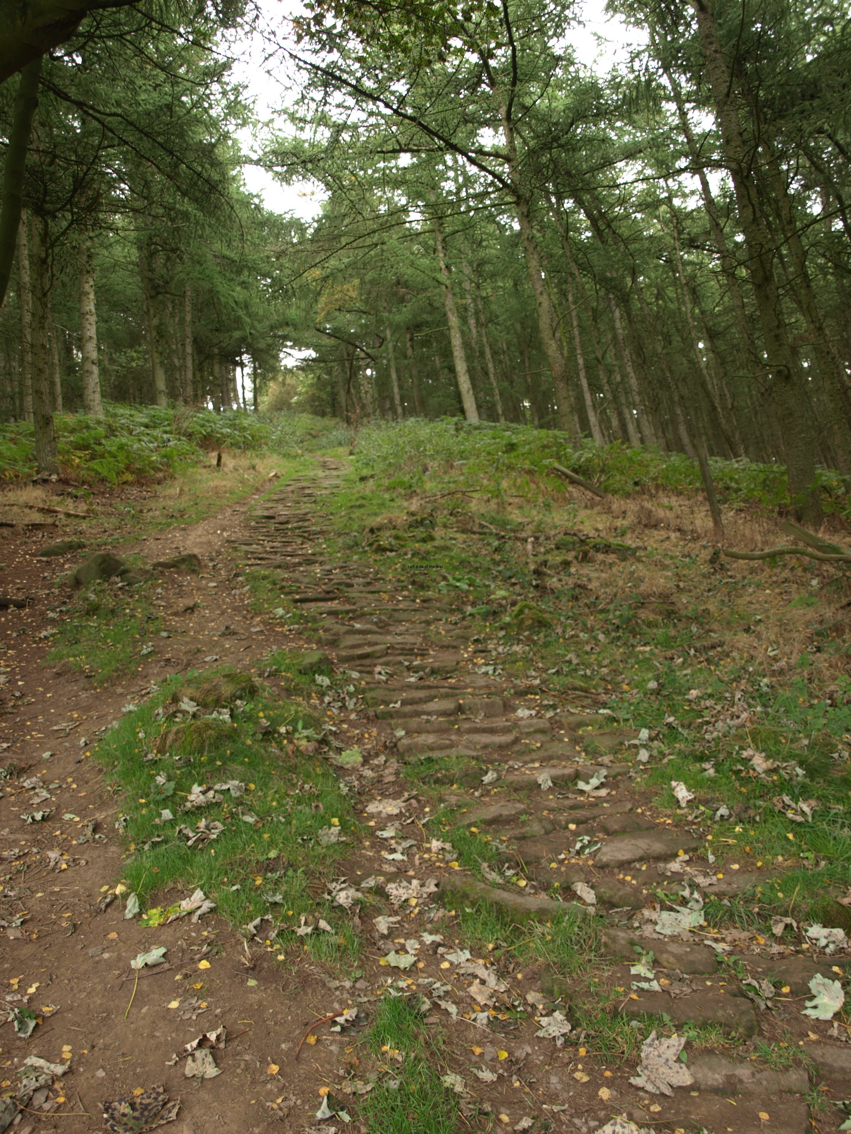
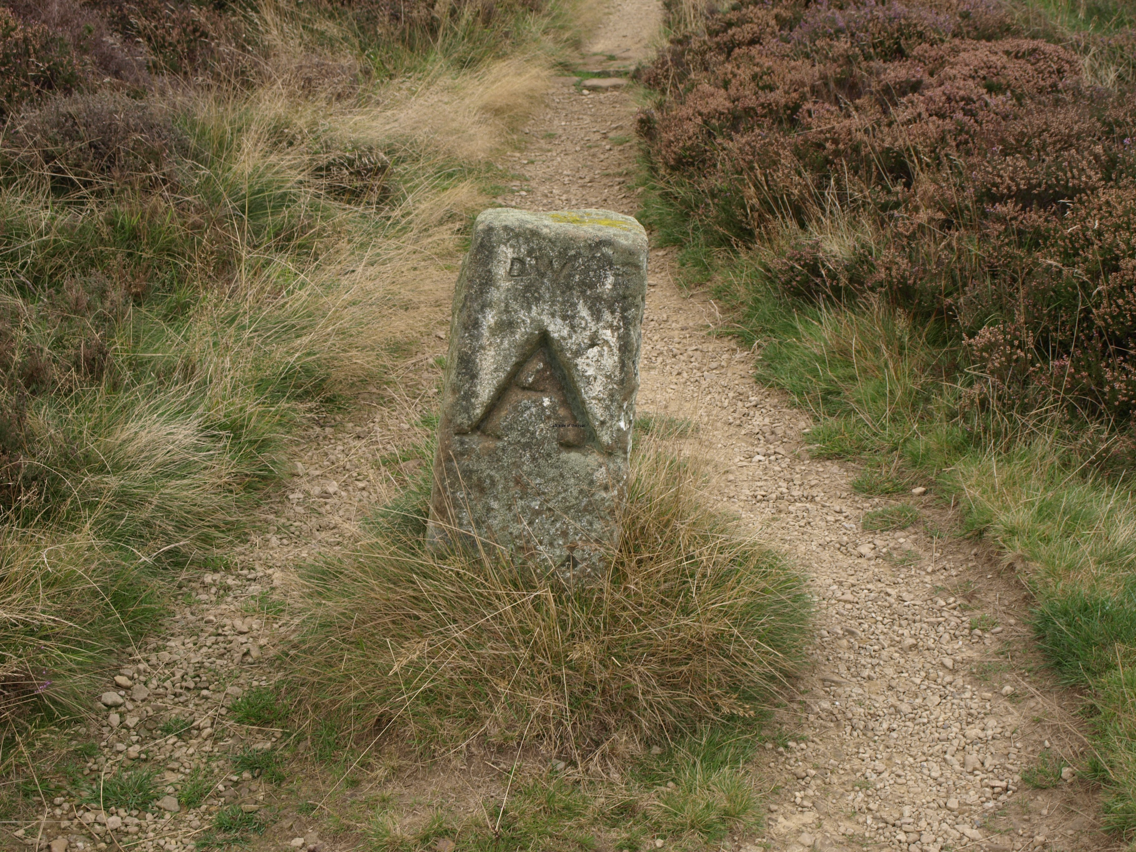
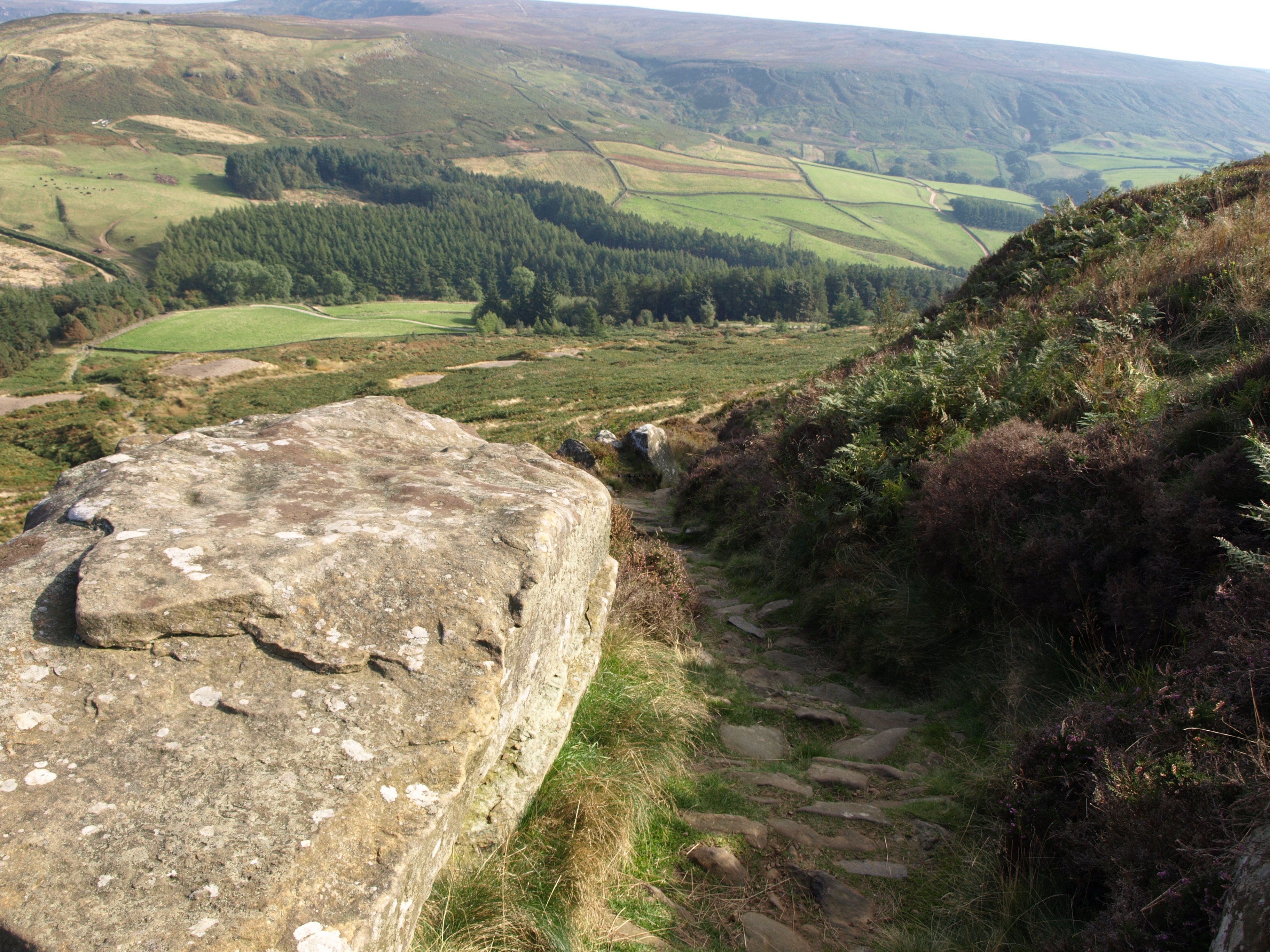
In preparing this land for easy access a vast amount of labour was required. Much of the path today was paved, and not a shoddy job but one that was done with planning and a lot of skill. It’s relatively flat here so there’s not the problem to which many of the paved paths in the hills are subject – erosion from flowing water – but they must have had some maintenance over the years. Whether these paths are still used by hunters I don’t know, there were none around on the day I passed through and what I saw at Grinton seemed to indicate that present day hunters aren’t perhaps as hardy as those of yore, and prefer to be taken in a 4×4 (or something more military) to the spots where the game birds are encouraged to fly overhead.
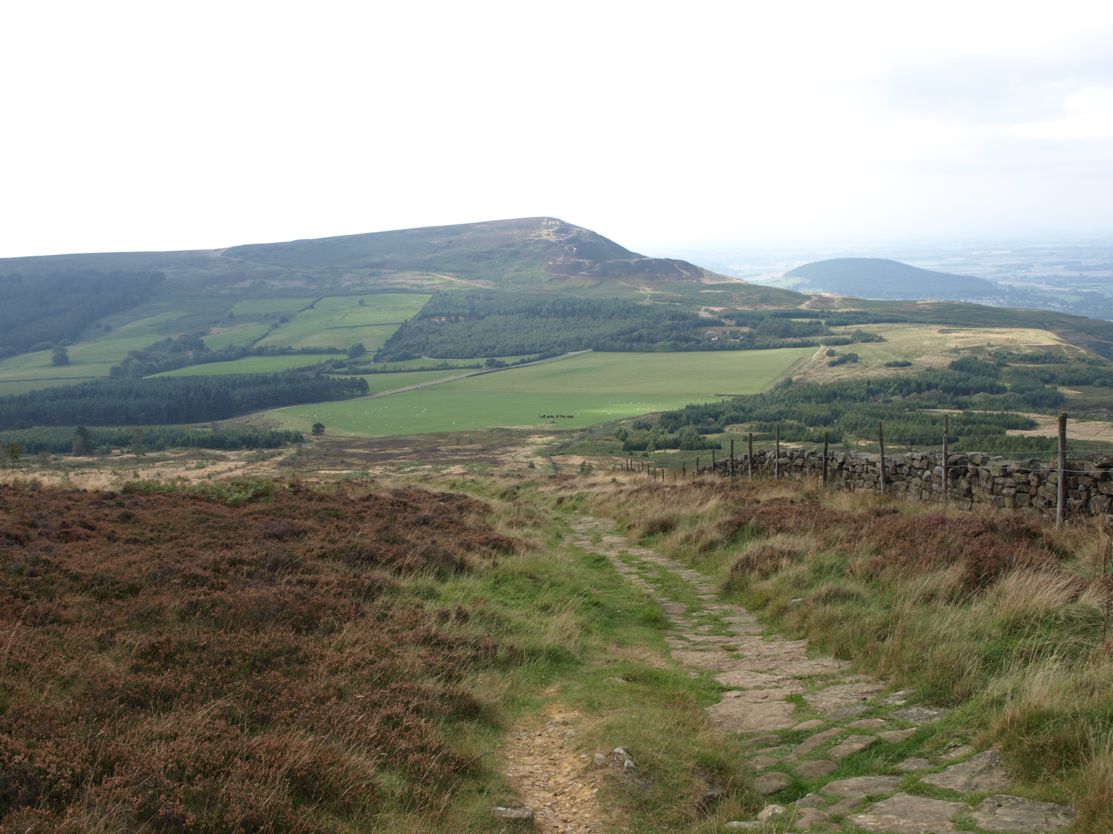
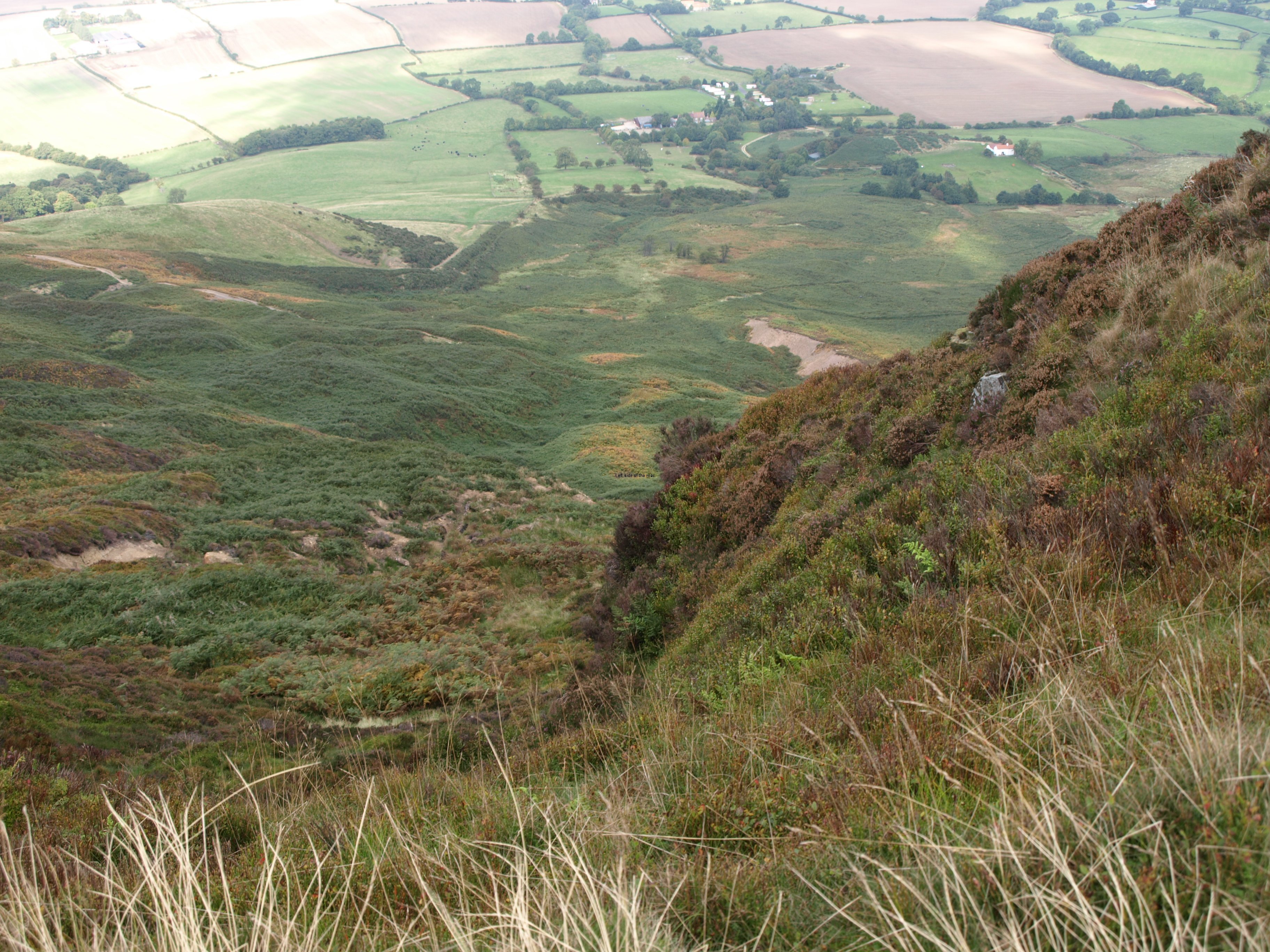
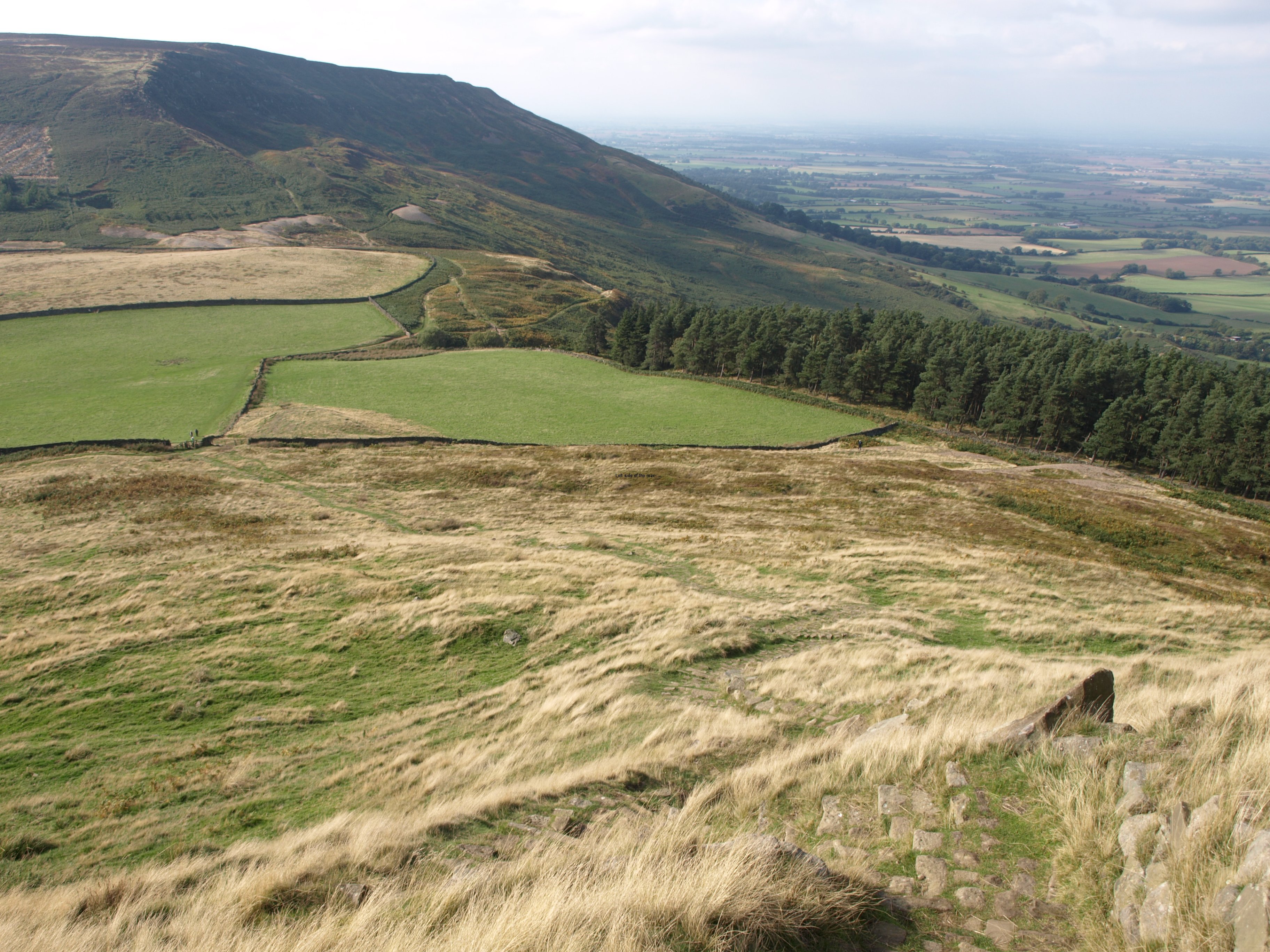
Easy underfoot, but still a bit of effort needed for this section. There are basically three moors on this stretch to Urra and that means three times climbing up, quite steeply, and three times going down, equally steeply. I thought I’d left those hard descents behind me but that was only because I didn’t study the maps adequately when I going through the planning process.
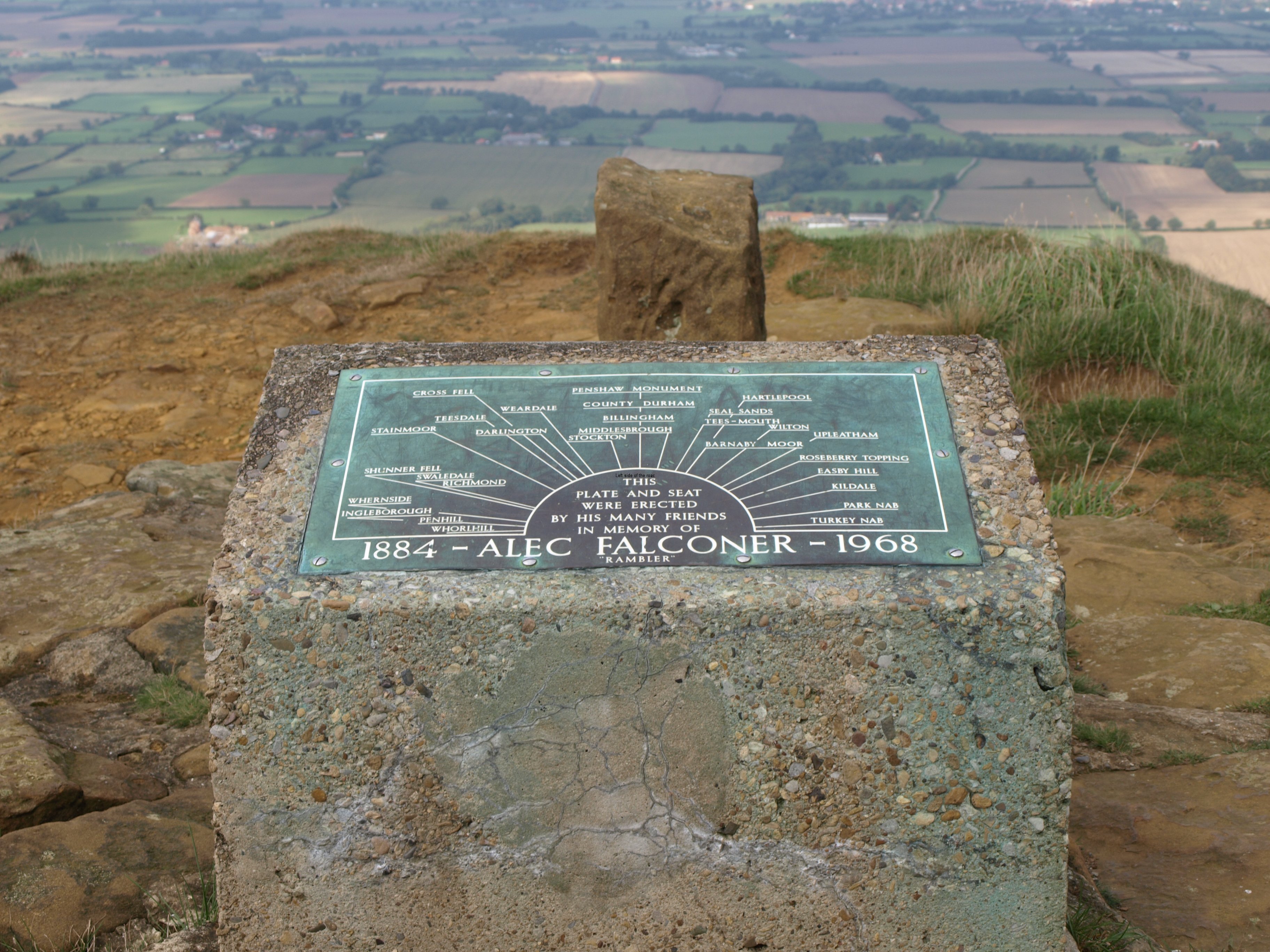
The first ‘down’ arrived at a place known as Lord Stones. This is at a junction with a ‘B’ road going north to south. In September 2013 it was still a building site as the old building/café (which had been there for some time, I understand) was being renovated. It’s a big job and must have cost a fortune. Whether it just aims at the local day trade or whether it has higher ambitions I’ve haven’t been able to discover (the website tells us it’s ‘Coming soon’) but is reasonably accessible from Middlesbrough and is high enough to give even car visitors a view towards the North Sea – it was too grey when I was there to tell where the sky finished and the sea started.
It was here that I learnt, again, of my notoriety. A couple I hadn’t seen before asked if I was Michael. Not for anything more than they had noticed the sandals. They had met people I’d seen before along the earlier part of the route and I’m probably the only walker making the trip solo wearing sandals.
The weather improved as the day advanced but there was an almost consistent wind blowing from the east. This wasn’t that cold but persistent and was probably keeping the rain from advancing from the west, so I shouldn’t complain too much. On these moors there’s no shelter whatsoever and it would have been hard work with both the wind and the rain. And those conditions made it a not too unpleasant day for a group of young (11-12 year old) school children who were being taken out on a day trip from one of the centres nearby.
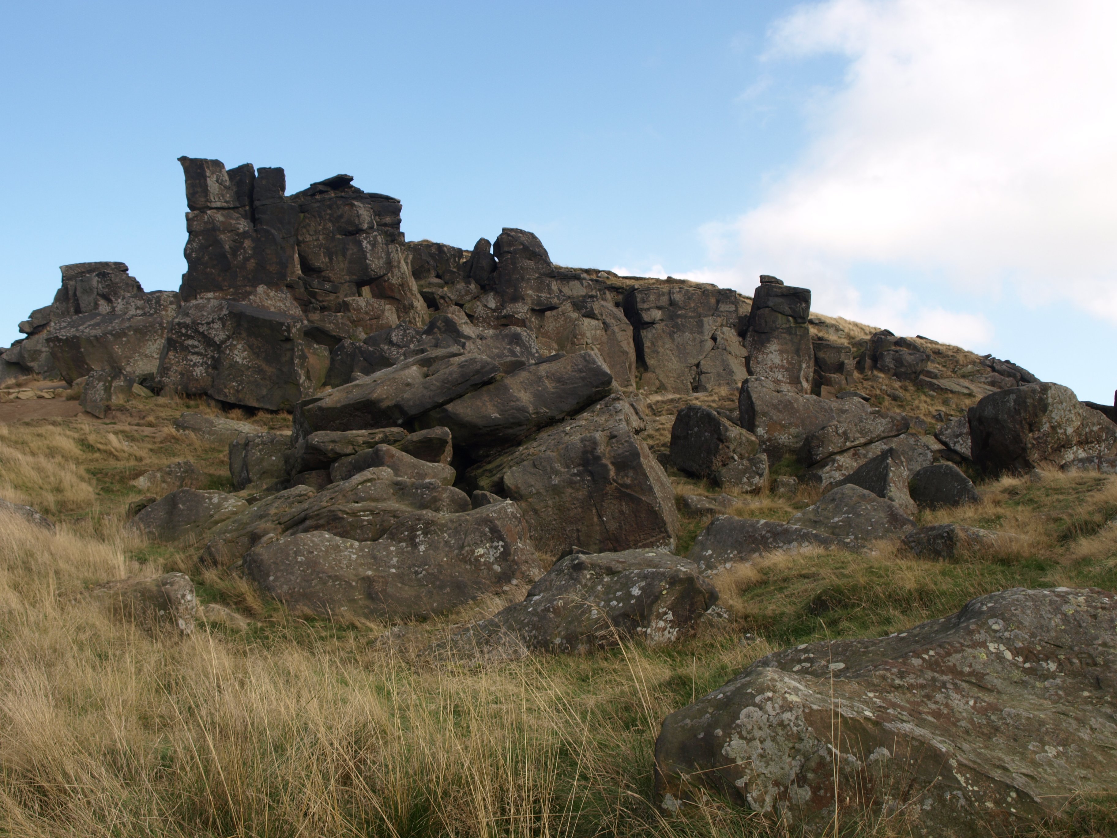
As for the route most of it was clear and very difficult to go wrong apart from when you reach the area known as the Wain Stones. This is a distinctive collection of upright rocks that are at the top of the third ‘up’ of the section. There is a very clear, and very narrow, path that goes off to the left, seeming to skirt around the rock face. It gets you to where you want to go but there’s a VERY steep, though short, section to get back on the path. There is a route through the stones themselves but, I understand from talking to someone later on, that is also a bit tricky.
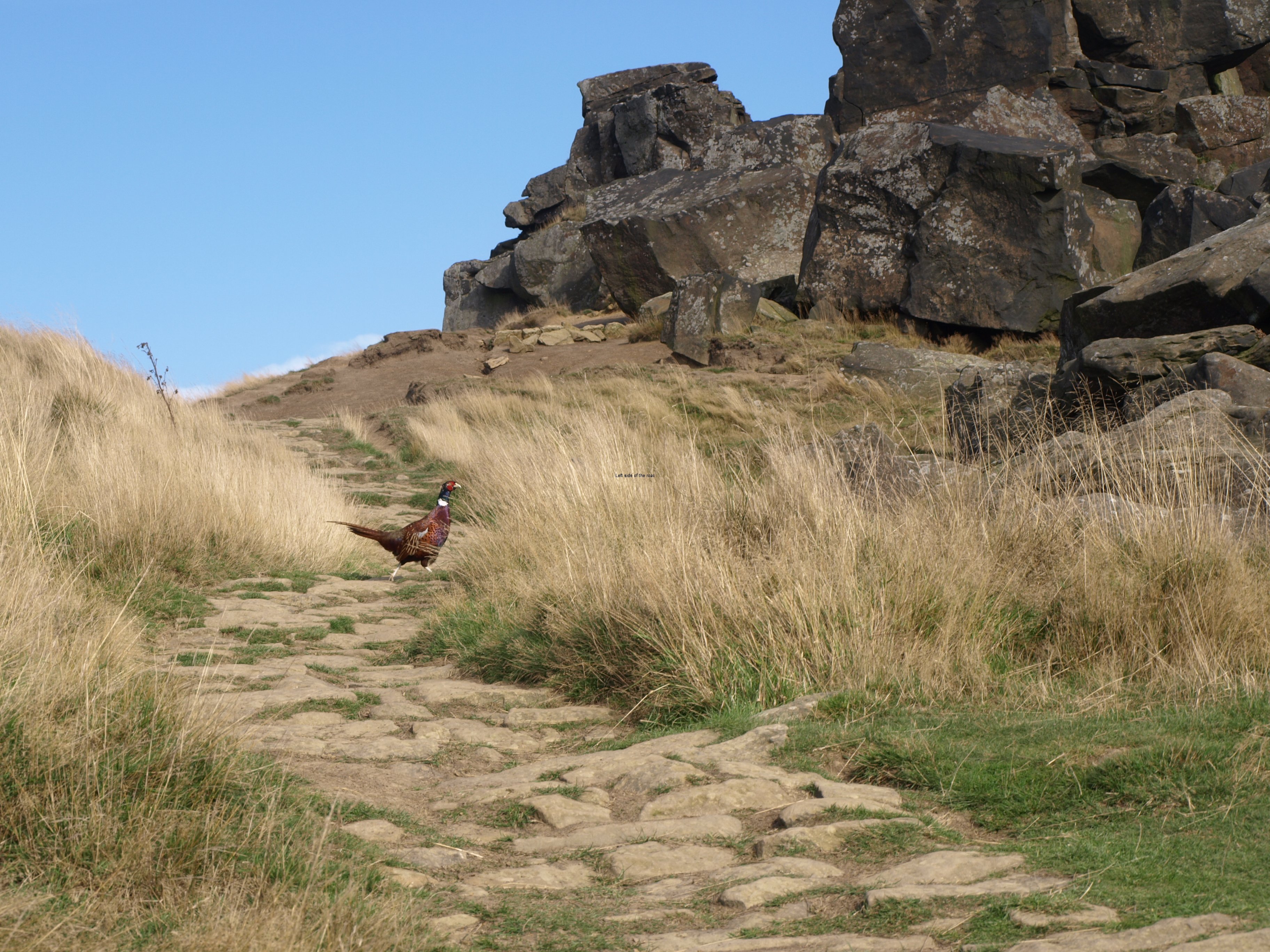
As I was getting close to the final descent of the day, down to the road at Clay Bank you could clearly hear gun shots down in the valleys to the south, not seemingly on the moors themselves. Throughout the day many birds had crossed my path, both grouse and pheasant. On earlier days the grouse were the red variety, here they the black seemed to dominate and there were also a fair few pheasant, including the one that walked across the path at the Wain Stones (the picture at the top of the post).
Accommodation wasn’t plentiful close to the path here and I was staying at a hamlet called Urra. This entailed a walk down a somewhat busy and unpleasant road. It would have been an even more unpleasant route if I had had to retrace my steps the following day but had been told that I could get back up on to the moor in the morning by a direct path from the B+B.
What made this road section even more remarkable was the number of carcasses of pheasants (as far as I could make out) who had come off worse with the traffic. They are panicky birds and fly off at the least opportunity. But they fly so slow, are so cumbersome and don’t really gain any height that I they get panicked by a vehicle and there’s something bigger coming behind or the other way then they have no chance. Along this stretch of about a kilometre there were dozens of corpses in various stages of decay. If in the road they were flattened by the traffic, if they had bounced back onto the verge then just rotting away. On this trip I had never seen so many live birds at the same time. Now I hadn’t seen so many dead ones in one place at the same time. I assume that most of the fatalities happen at night so if anyone reading this is into road kill then the B1257 at Clay Bank is the place to go in the autumn.
The road up the Urra seemed to go on forever but I still arrived at a reasonable time.
So at 15.30 on the afternoon of 30th September it was (this is just an estimate as I’ve been going off track for accommodation and sometimes I gain and sometimes I lose and now am starting to get lost with the totals but something like) 157 miles down 43 to go (but that last figure is incorrect. If I walk 45 miles further to the east I’ll be very wet indeed, and considerably off shore in the North Sea – possibly beside an oil rig).
Practical Information:
Accommodation
Maltkiln House, Urra. Been established as a B+B for Coast to Coast walkers for years, although the couple who own the house want to sell up and go to the South of France. Needs a 15 minute walk down the busy and unpleasant B1257 (not like a ‘B’ road at all) from Quarry Bank Top and then another 15 minutes to the village/hamlet/settlement of Urra. Maltkiln House is the last house as you go on the tarmac road past farms and houses. Cup of tea and biscuits brought out from the house and able to sit on the veranda at the front of the house in the autumn sun. No one else there and had a twin room, en suite, for £35. Decided on a full dinner (with a sherry appetiser and a few glasses of white wine) for £15 (got a little reduction from advertised prices – they got to know me a bit at the dinner table).
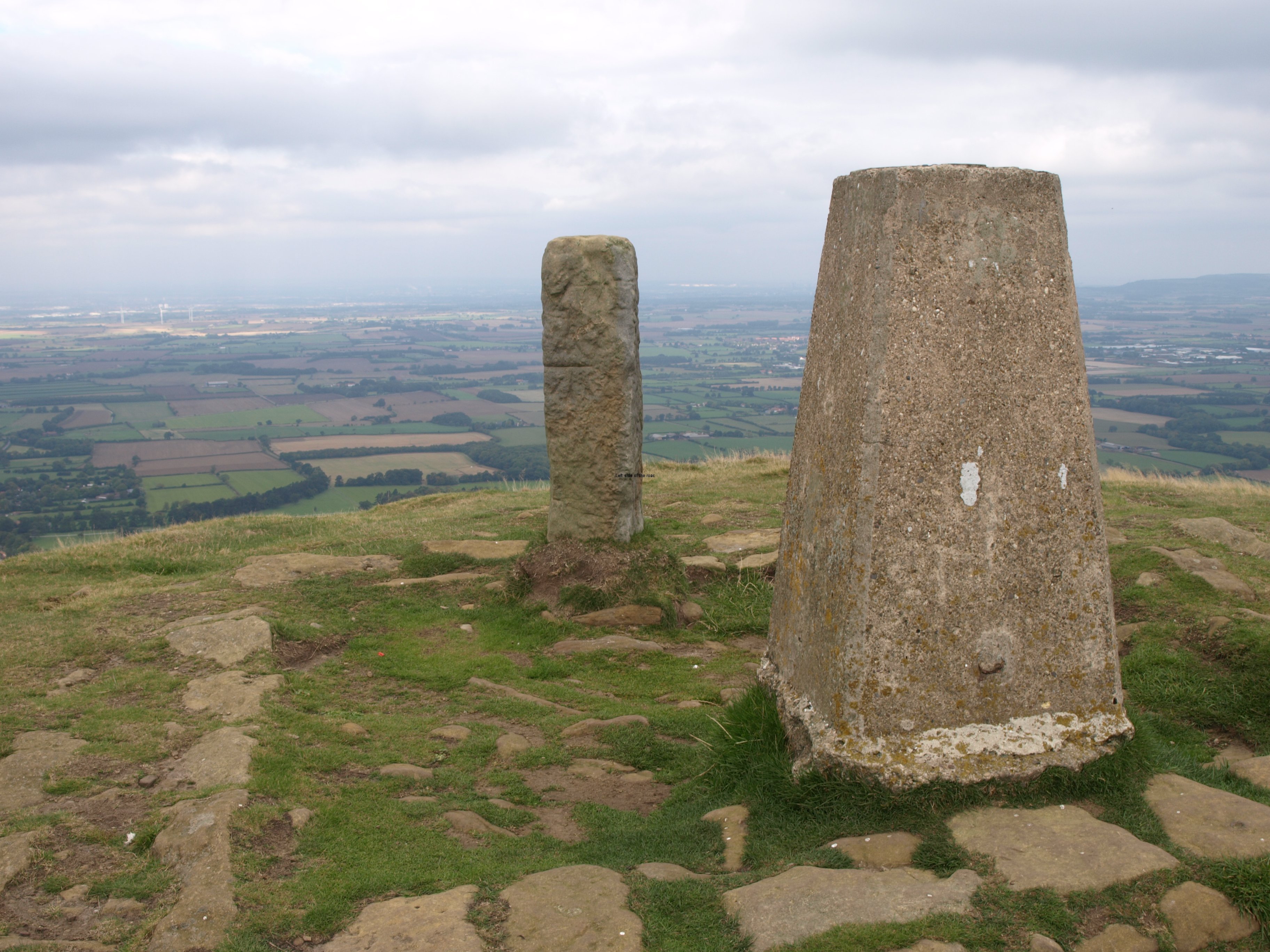
No need to make the trek back to Quarry Bank Top as there’s a path up to Urra Moor from behind the house which eventually joins the Coast to Coast path near the trig point at Round Hill.


