More on the Maya
Cahal Pech – Belize
Location
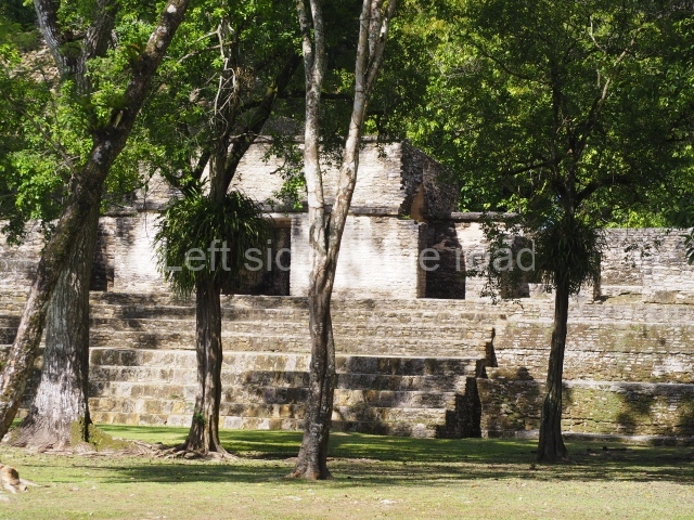
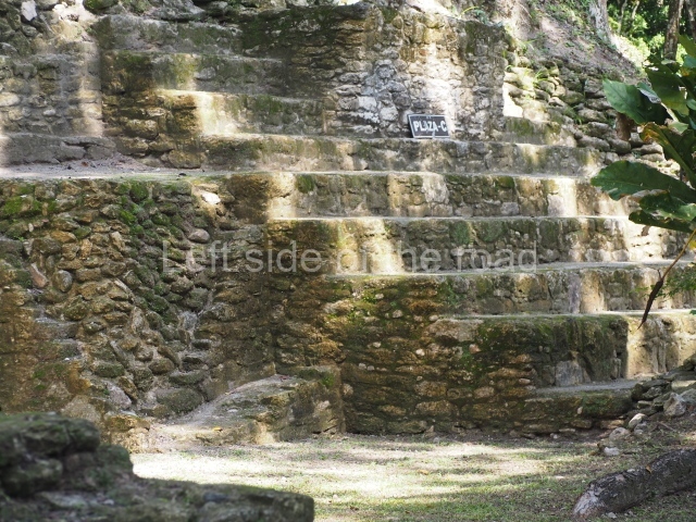
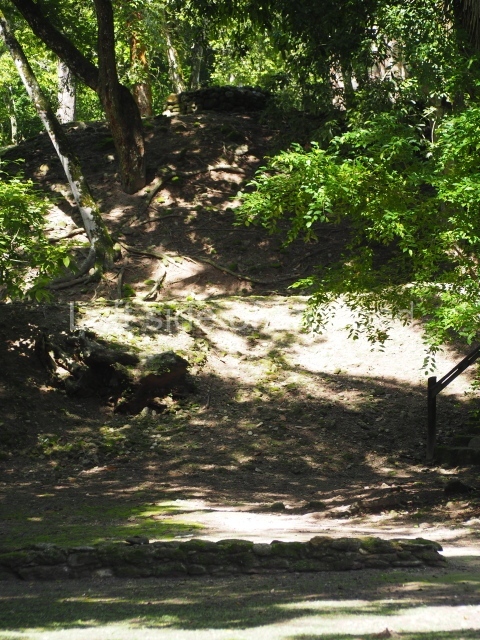
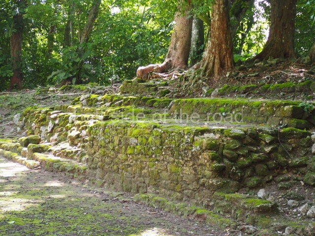
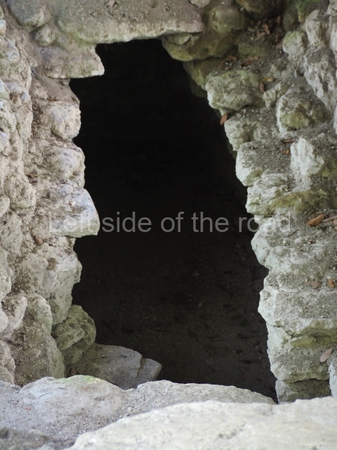
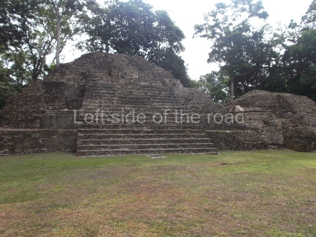
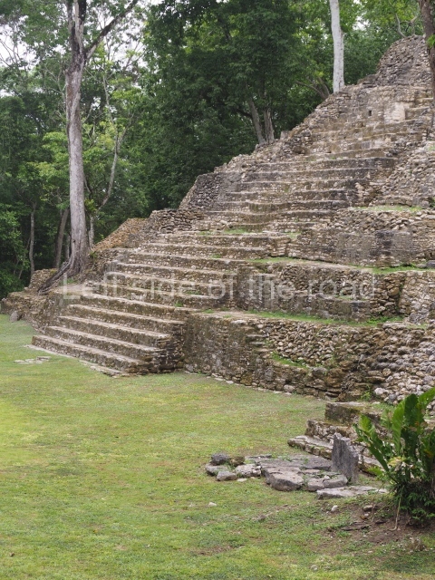
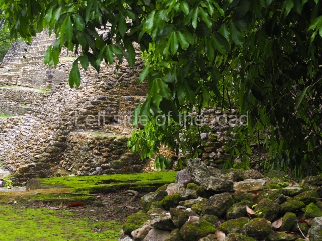
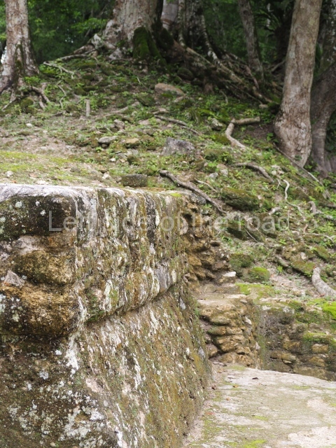
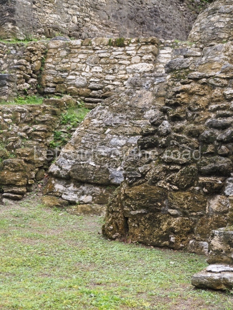
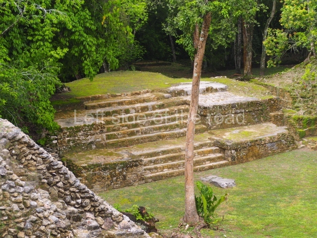
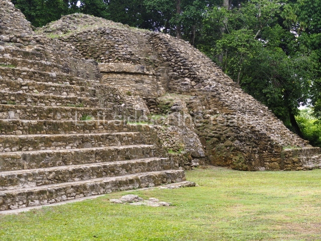
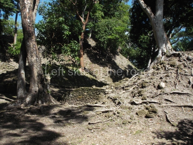
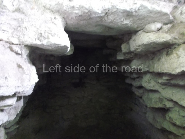
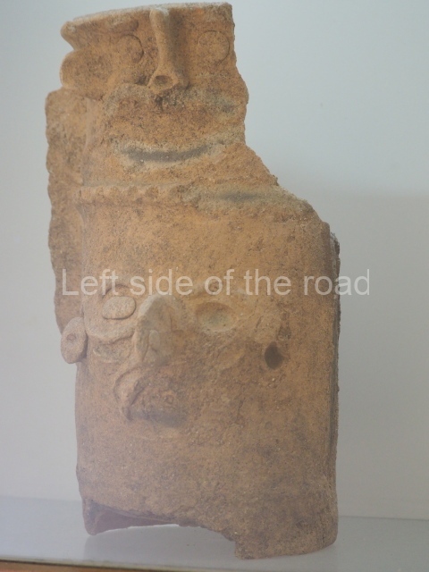
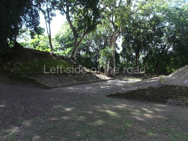
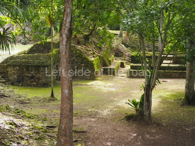
This site is located on the outskirts of the towns San Ignacio and Santa Elena, in the Cayo district. There is easy access from San Ignacio to the archaeological site, which is situated on a hilltop overlooking the road to the town of Benque Viejo del Carmen. The complex lies on the west bank on the River Macal and occupies a strategic position with control over the valley. The name Cahal Pech is a mixture of Mopan and Yucatec Maya, meaning ‘tick’, an insect that can be found in abundance in the surrounding pasture land. The central area of the site is composed of 34 structures and occupies a surface area of close on one hectare. The groups include various residential constructions for the elite class and several pyramid platforms with temples. The buildings are situated around seven courts or closed plazas, which include a palatial section. There are two ball courts, five smooth or unadorned stelae, an altar and a temascal or steam bath (Structure B-5). Part of the site has been partially restored following important archaeological finds denoting construction phases ranging from 1200 BC to AD 800. Cahal Pech has a visitor centre, a site museum with interesting pieces from the area and a rest room.
Site description
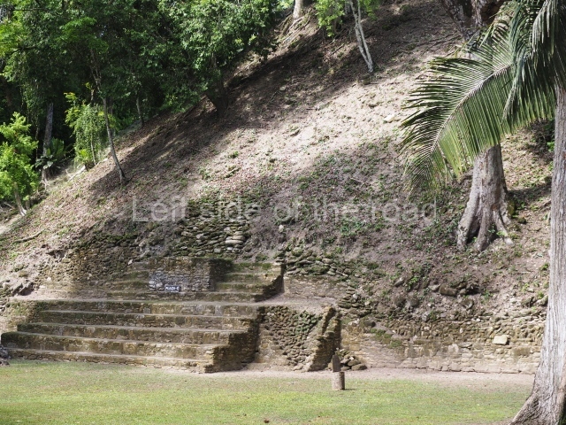
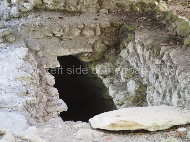
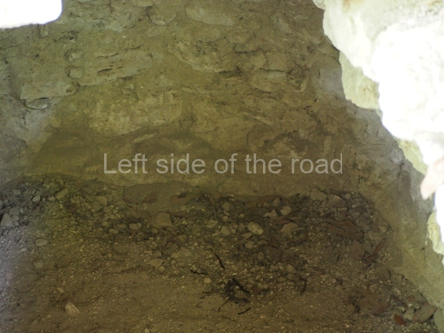
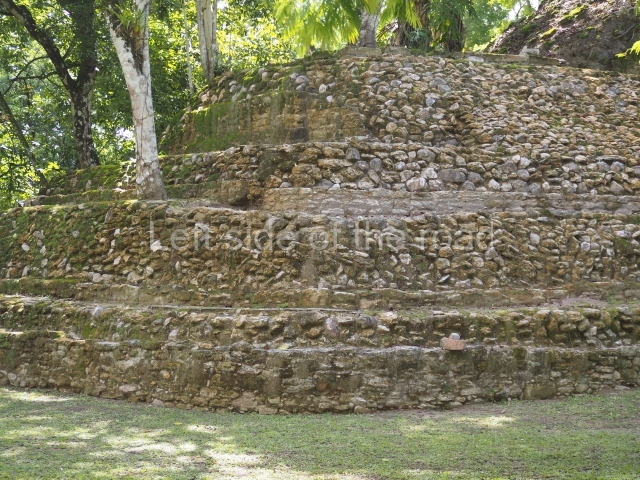
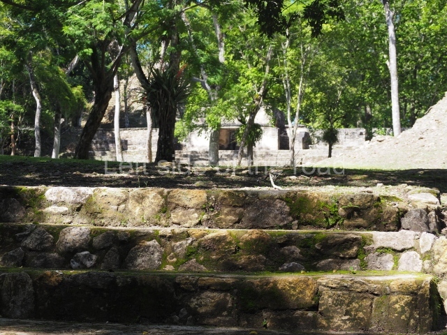
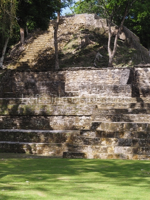
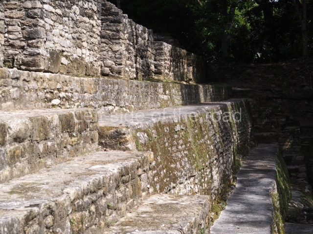
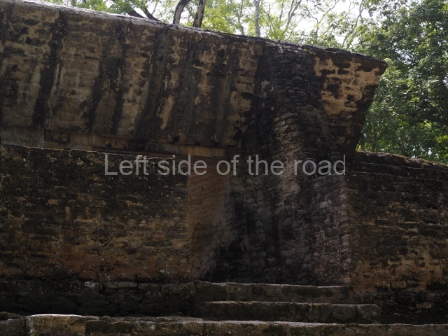
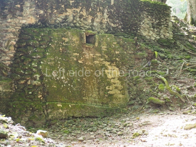
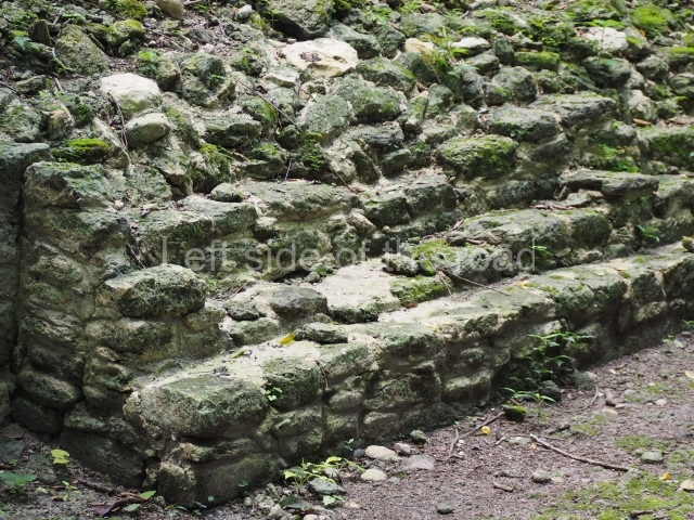
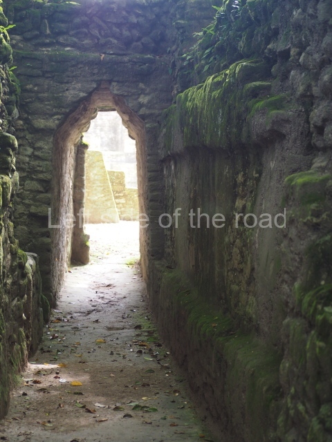
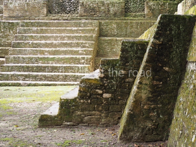
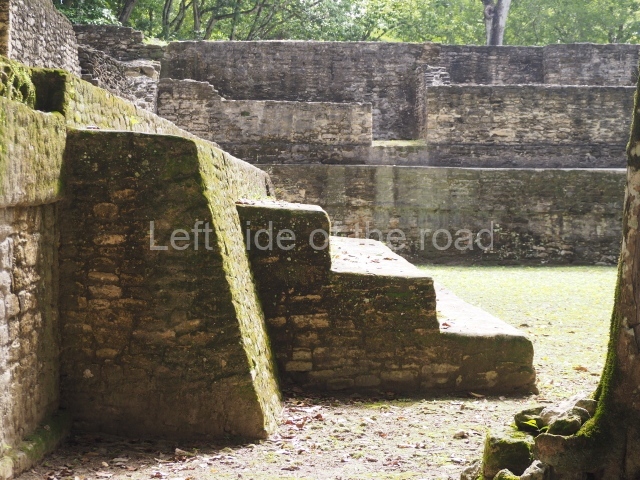
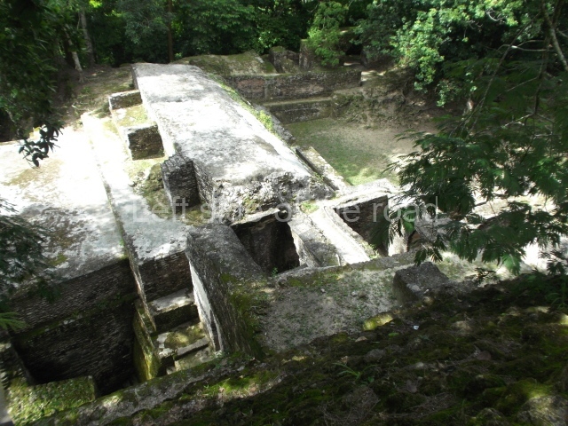
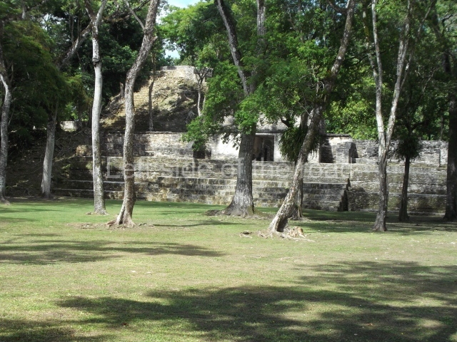
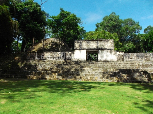
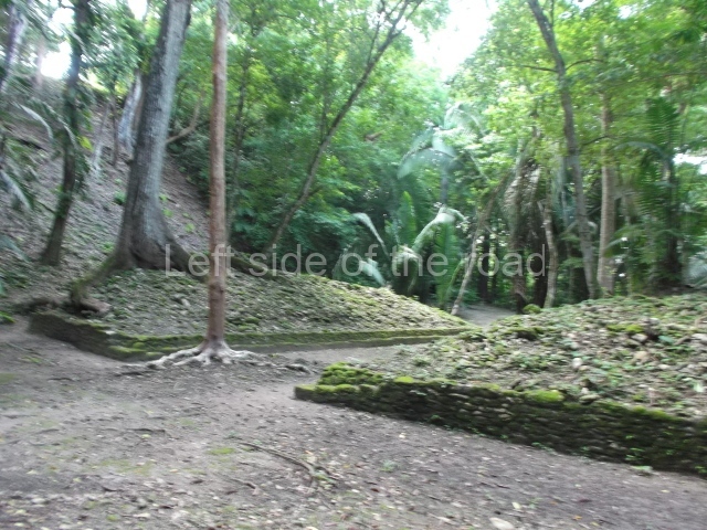
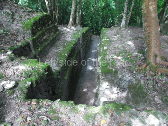
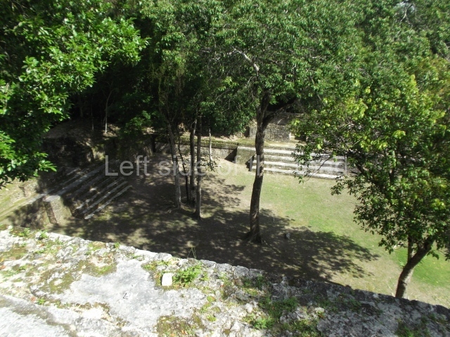
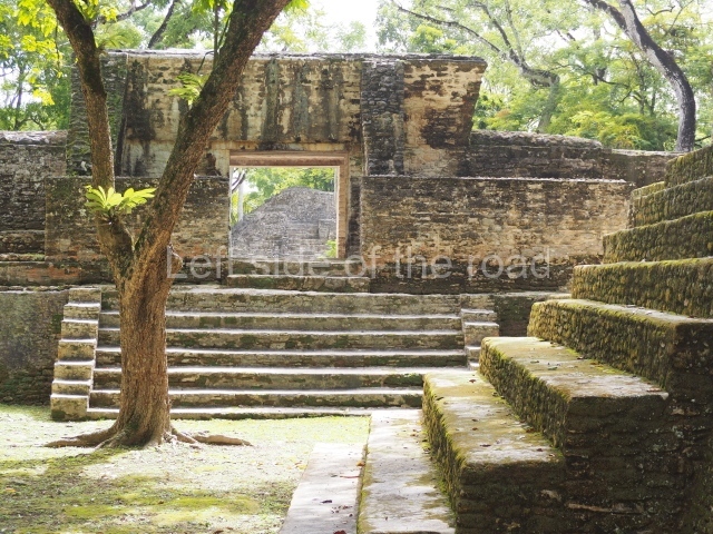
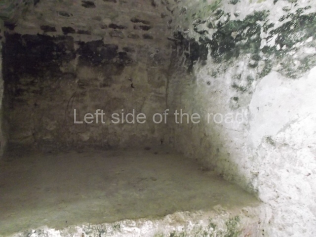
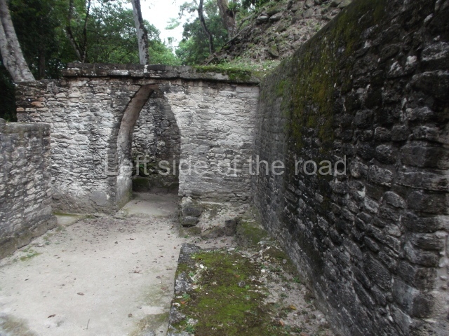
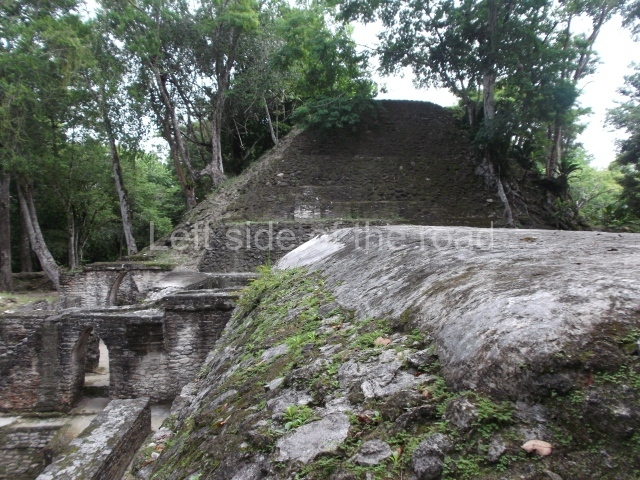
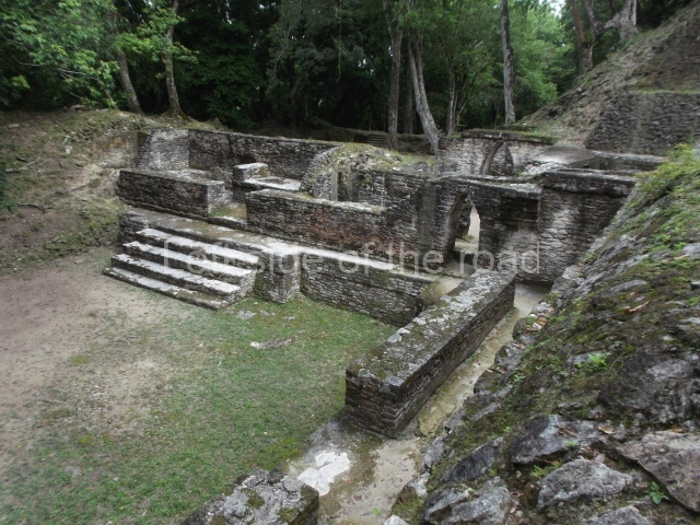
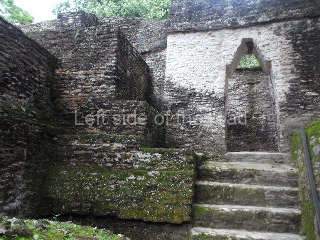
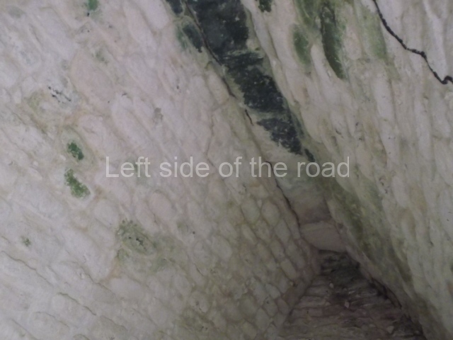
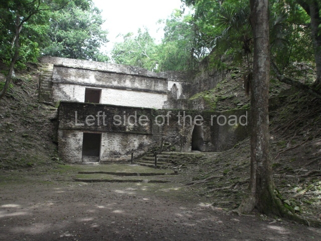
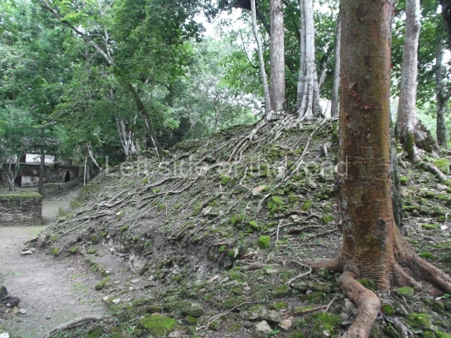
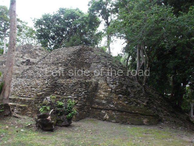
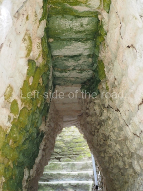
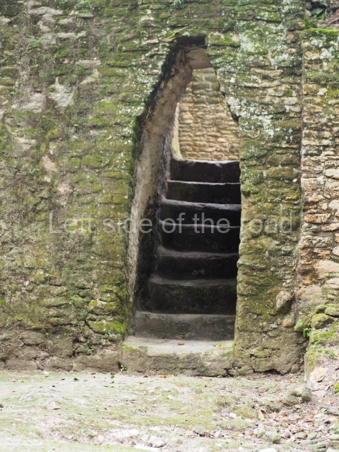
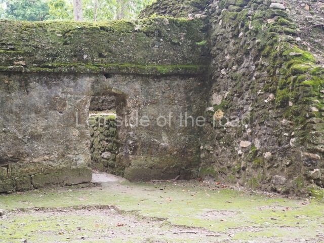
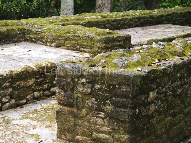
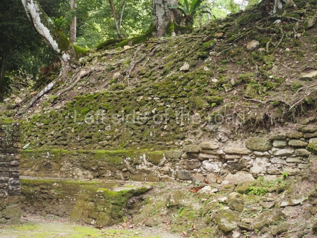
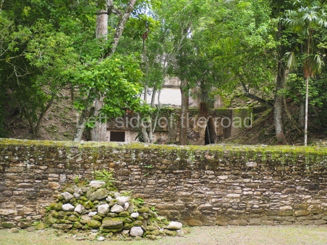
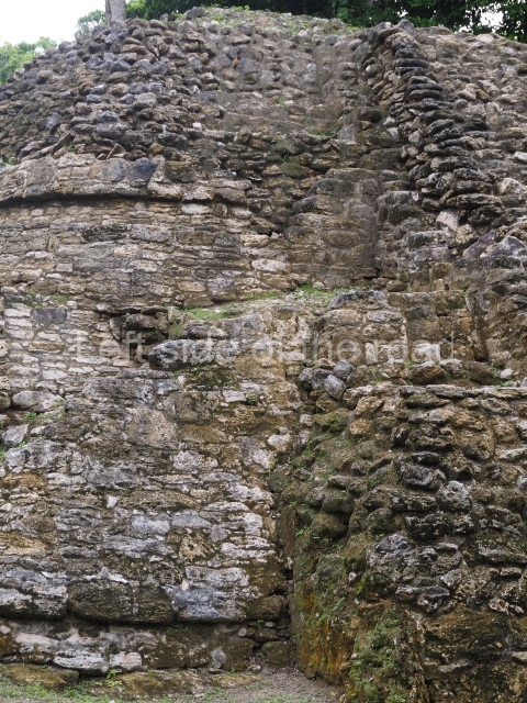
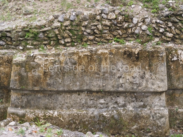
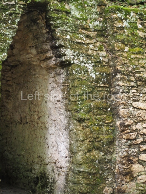
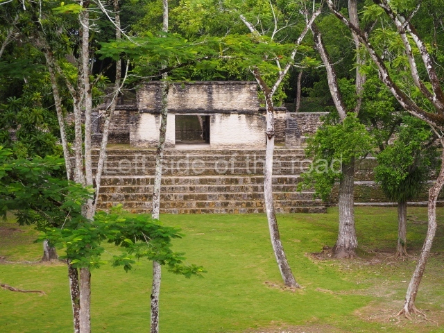
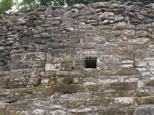
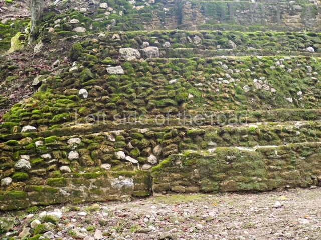
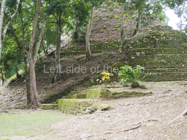
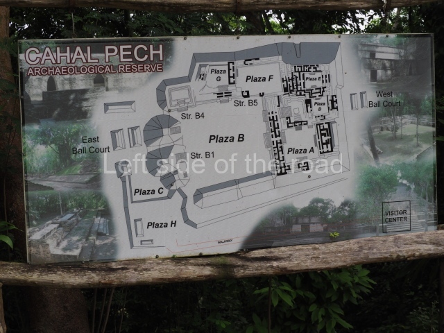
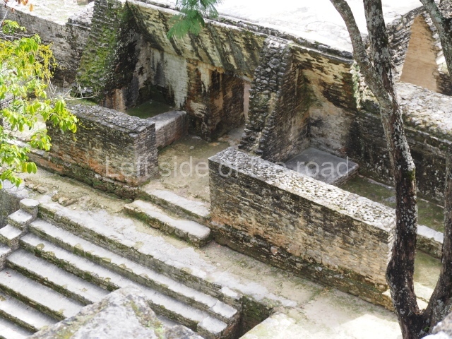
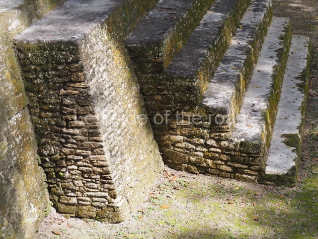
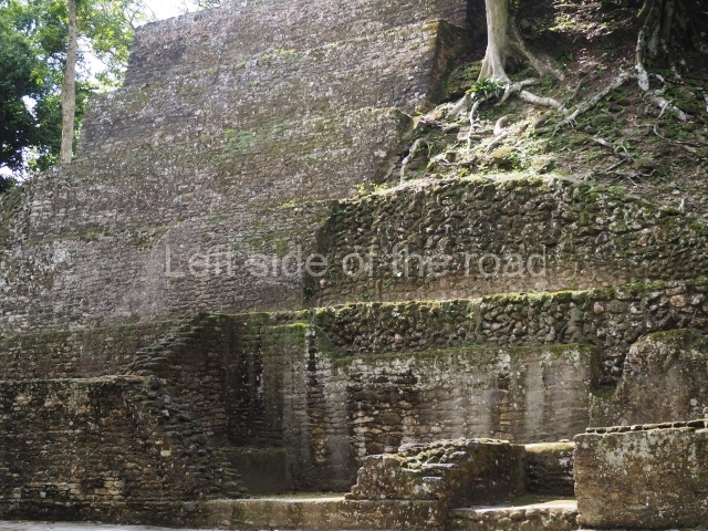
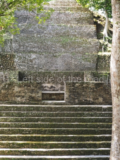
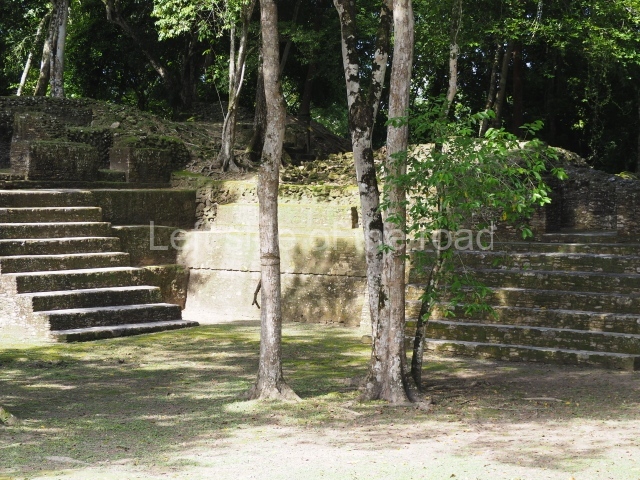
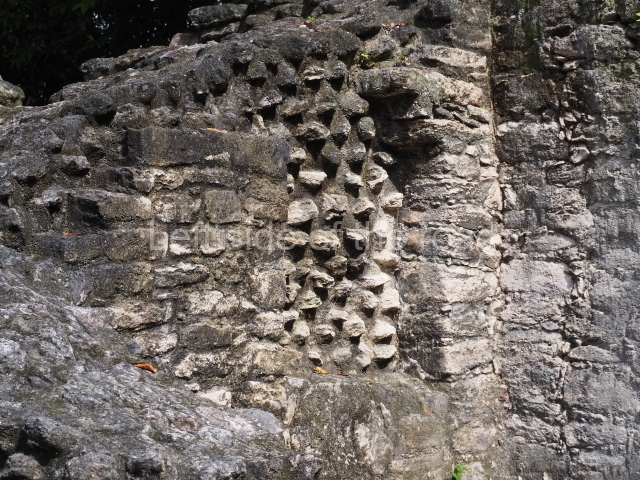
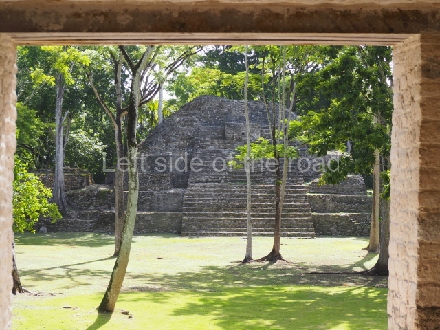
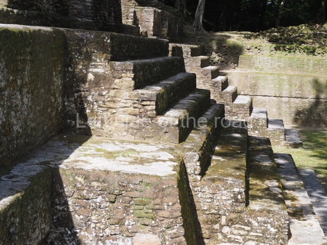
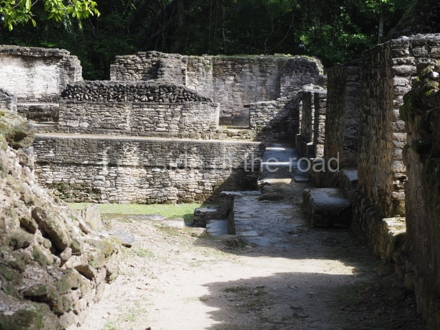
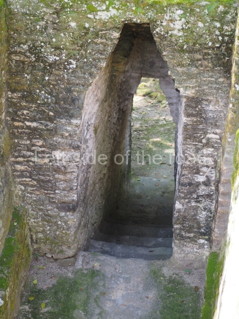
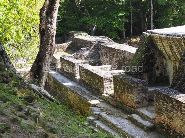
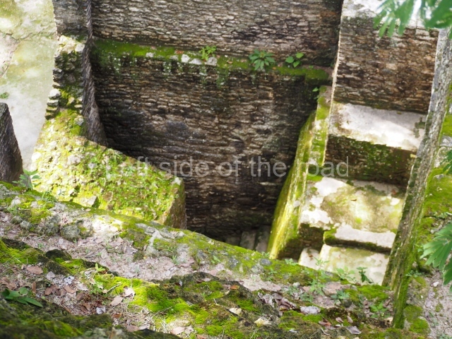
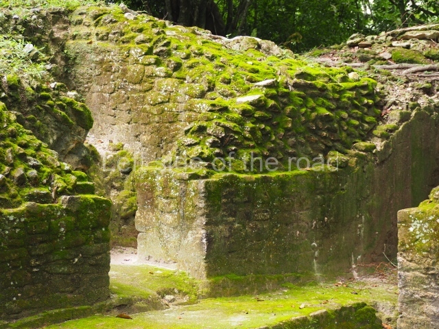
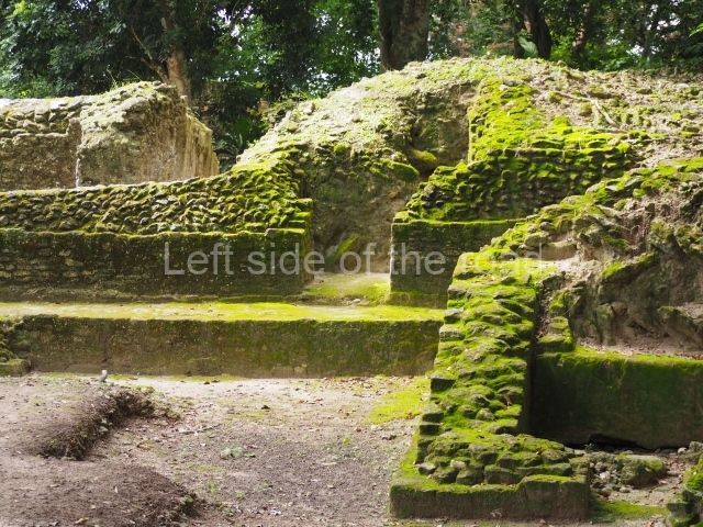
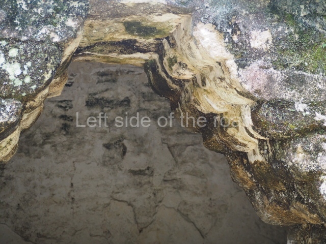
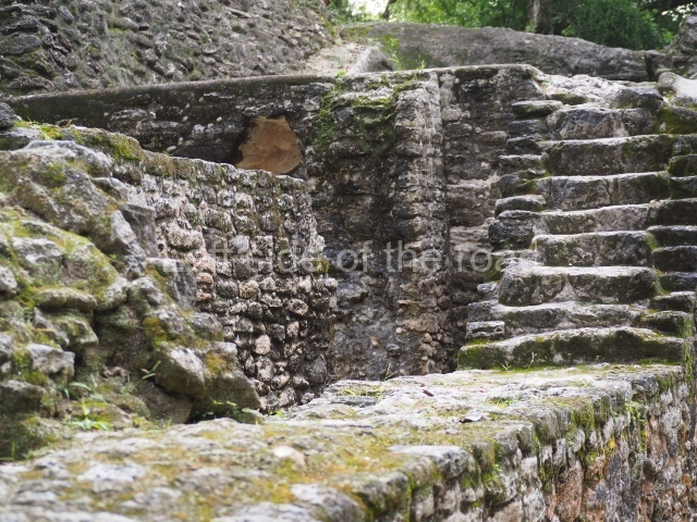
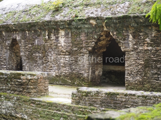
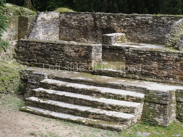
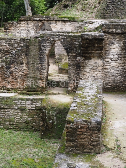
Access is from the north-east and the first area entered is Plaza B, the largest on the site. Structures B1, B2 and B3 seal the west side of the plaza. According to Joyce Kelly, this group formed an E-Group complex or astronomical marker of the solstices and equinoxes, like the one at Uaxactun in Guatemala. A royal burial from the Late Classic (AD 600 to 800) was discovered at Structure B1 with grave goods containing objects made from jade, carved shell and bone, ceramic vessels and a jade and shell mosaic belt mask. On the south side of the plaza lies structure B4, an elongated platform with a stairway at the front and mask remains on the balustrades. The explorations conducted by Joseph Ball and Jaime Awe have revealed a long occupational sequence, commencing in 1200 BC, which means that the site was one of the earliest settlements in the region. The reconstructed facade we see today dates from between 600 and 300 BC. The south-west corner of Plaza B leads to Plaza F, which has various low platforms that have not yet been restored. On the west side of this small plaza a double-flight stairway leads to the residential Groups E and D in the south-central area of the site. This section has been partially restored and contains excellent examples of Maya vaults and rooms with elegant benches for resting, not unlike those depicted in polychrome Maya vases.
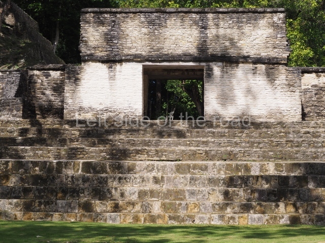
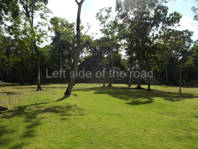
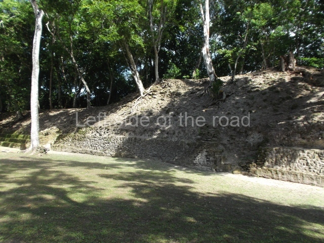
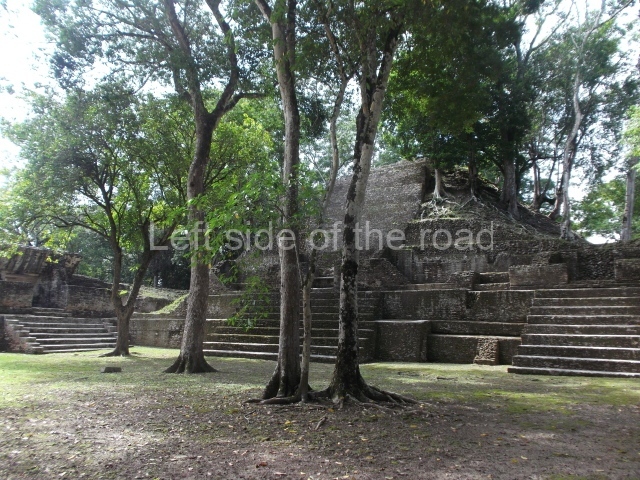
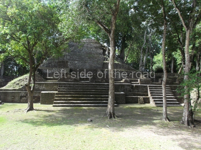
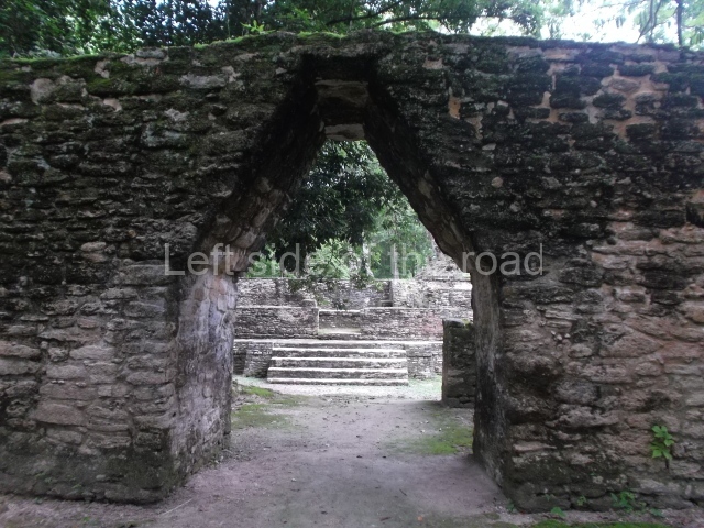
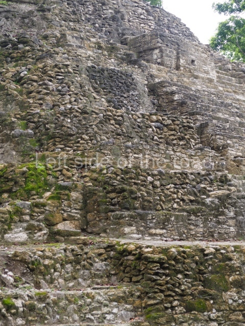
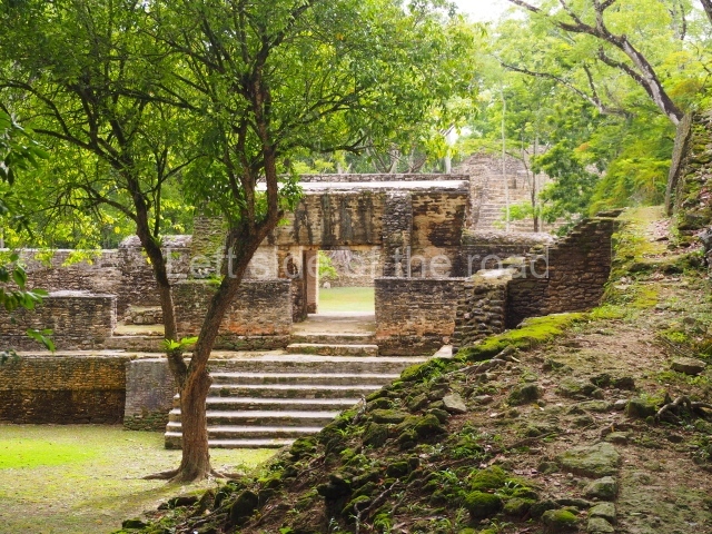
The west side of Plaza B leads to Plaza A, passing through Structure A2, which fulfils the function of a portal. This elongated structure with several rooms and restricted access was called the Audiencia, probably having been used for administrative and civic functions as well as serving as a hall where the ruling class would meet or receive important emissaries. Plaza A displays an elegant layout and an exclusive palatial complex. This section, which is connected at the rear to Plazas E and D, provides visitors with an idea of the layout of architectural spaces for the Maya elite, Structure A1 is the tallest construction at Cahal Pech, standing 24 m high. Visitors can climb to the top of it for a view of the surrounding elite buildings. The largest construction at the site is from the Middle Classic (AD 500), but its sub-structures were built in the Late Preclassic (400 BC-AD 250). On the west side of Plaza A a passage leads to the rear area containing a draining system and various terraces sloping down to the west ball court, which has not yet been excavated. This section displays a considerable difference in ground level, indicating Cahal Pech’s strategic and defence position. Various roads have been discovered near the site leading to outlying residential groups. The site is thought to have been occupied from 1200 BC to AD 900, when it was vacated. A possible reason for its vacation was the growth of other powerful cities in the area, such as Buenavista, Baking Pot, Pacbitun and Xunantunich.
From: ‘The Maya: an architectural and landscape guide’, produced jointly by the Junta de Andulacia and the Universidad Autonoma de Mexico, 2010, pp244-246.
Getting there:
From San Ignacio. The turn off to the site is at the roundabout on the western edge of town (the road heading towards the Belize/Guatemala border). From the roundabout head south and go up the steep hill in front of you. Once at the top the entrance to the site is to your left. There is a small visitor centre giving a bot of a background to the location with a few artefacts recovered from past excavations.
GPS:
17d 08’ 45” N
89d 04’ 26” W
Entrance:
B$10


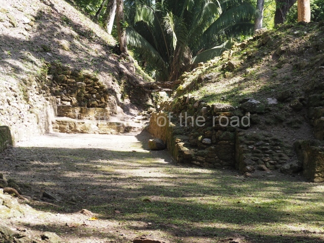
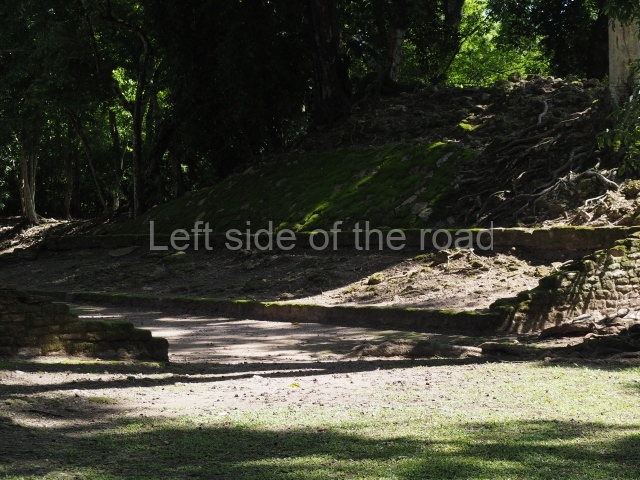
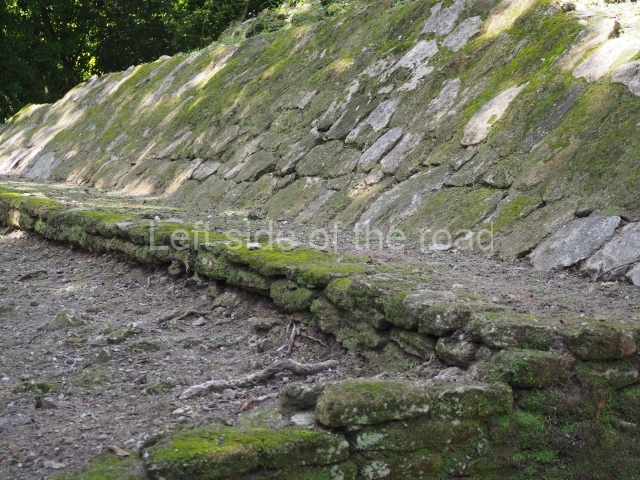
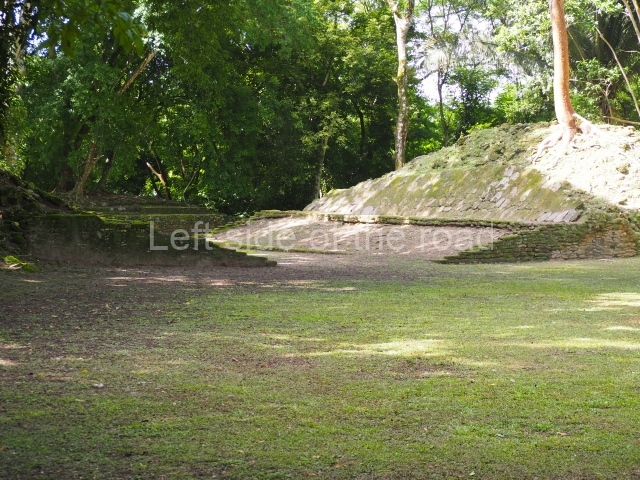
The Belize Valley Archaeological Reconnaissance Project, which Dr Jaime Awe is a co-director of, does excavations in the area and seeks summer volunteers, with the possibility of academic credit through Northern Arizona University. The deadline for the 2024 field school with academic credit is in February, though there might be flexibility. The similar Maya Research Program does work in northwestern Belize. I’ve thought about volunteering or otherwise visiting Belize, but I haven’t done much travelling at this point. I’ve wanted to visit Mesoamerica, especially central Mexico, and the American tropics for a long time, so this is an interesting series of posts.