Yaxha – Guatemala
Location
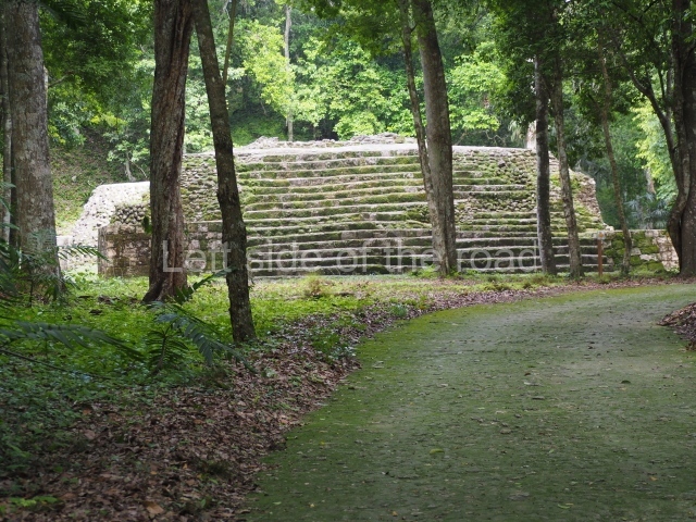
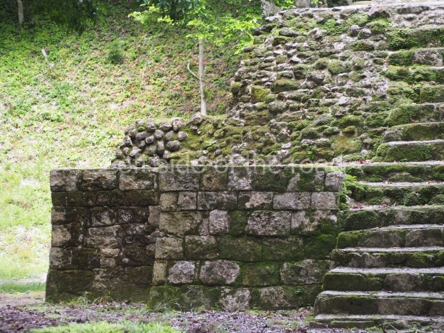
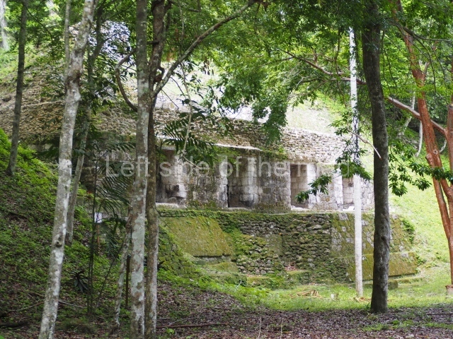
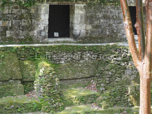
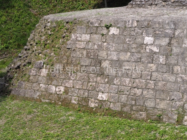
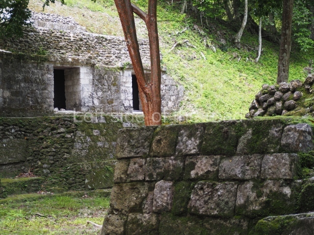
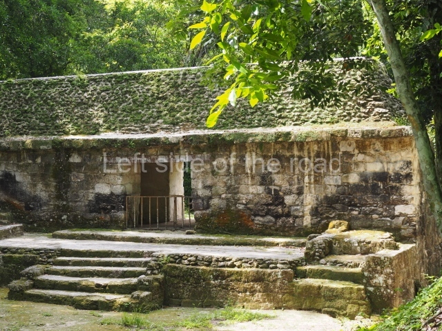
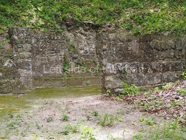
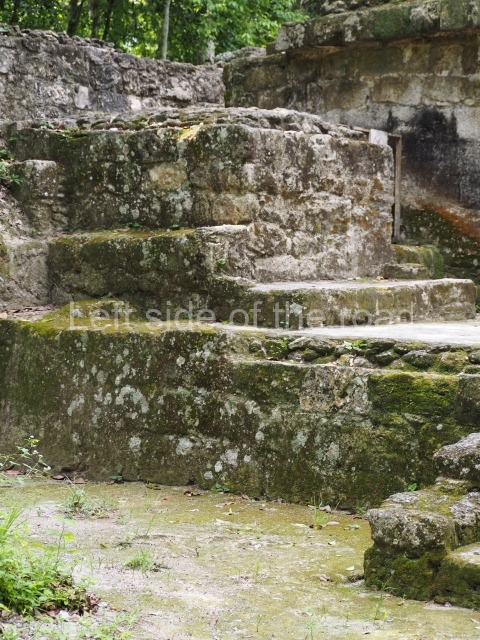
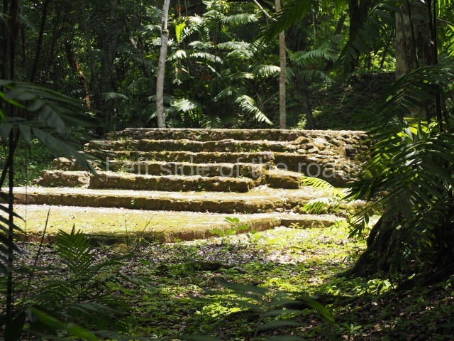
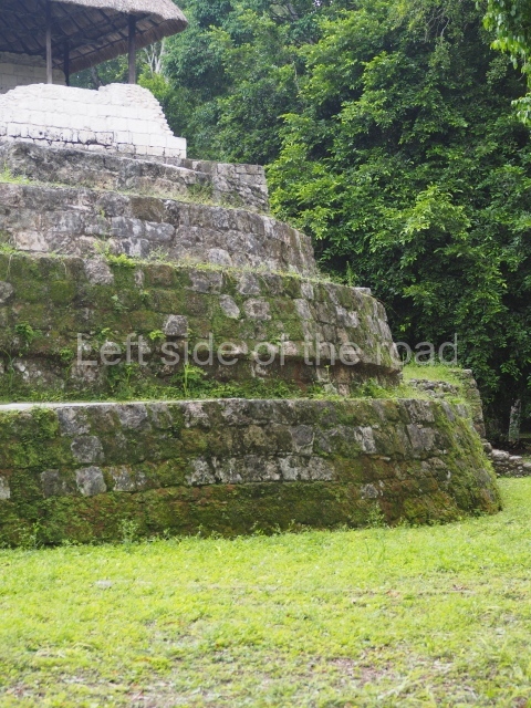
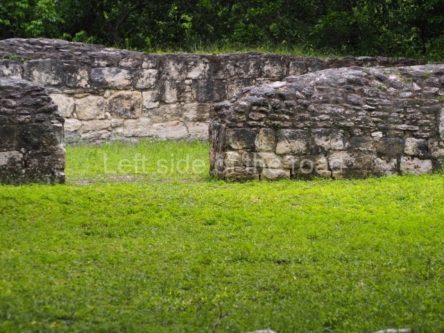
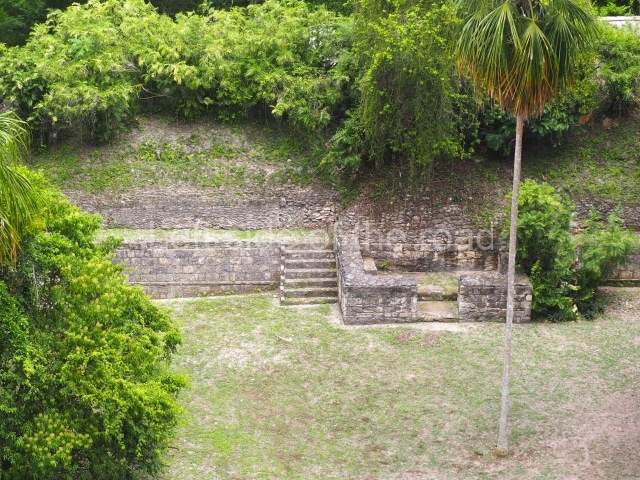
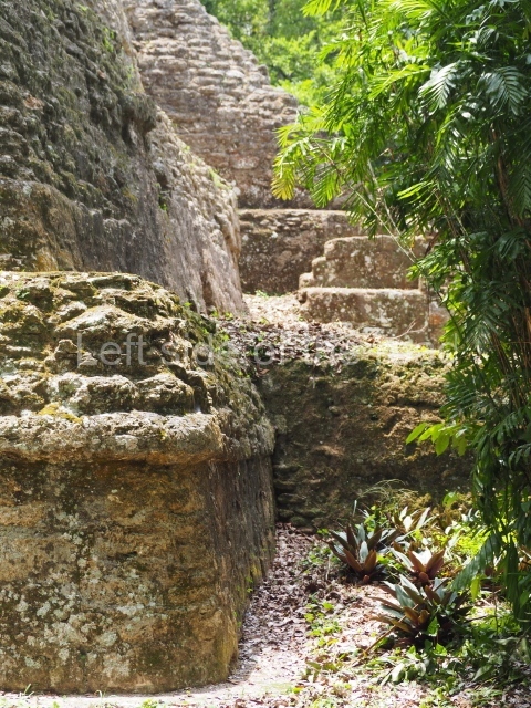
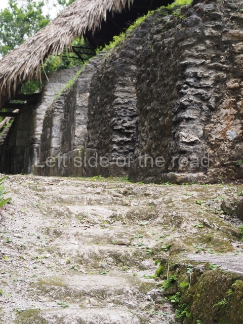
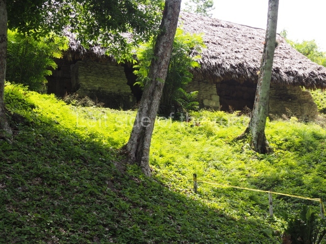
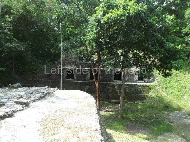
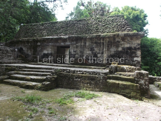
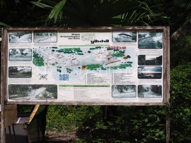
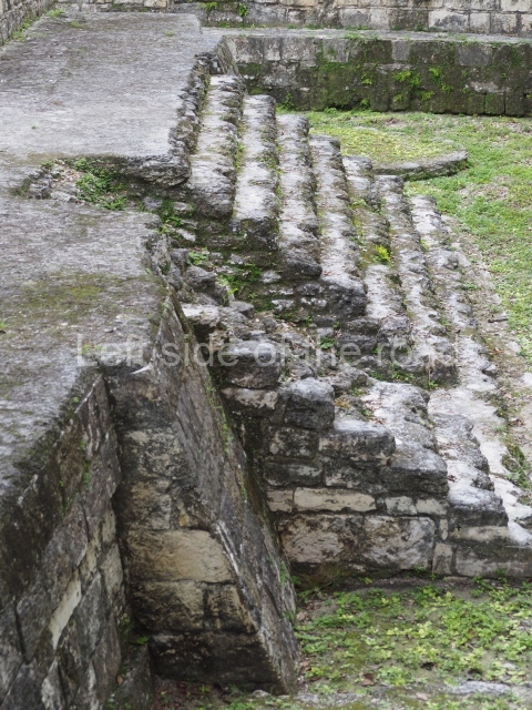
Yaxha was one of the most beautiful cities built by the Maya, not only because of its hilltop location overlooking large expanses of land, but also because of the exquisite proportions of its public plazas. It is situated on the north shore of Lake Yaxha, which forms part of a chain of lakes and water masses in the central region of Peten. Nowadays, it is a well preserved park and many of the buildings have been restored. The archaeological area belongs to the Yaxha-Nakum-Naranjo Cultural Triangle, which gained National Park status in November 2003. It has the maximum legal protection, has had its own administration since 2005 and it charges an admission fee. Visitors enter the site from the east, accessing Plaza C. From there, continue along the Galindo Causeway to Plaza B and the East Acropolis. After these, a group of stepped plazas lead to the core area of the city. There are rest areas and rooms, trails and signs to orient visitors. In 2006 several stelae that had suffered erosion and deterioration were replaced by replicas and the originals are now on display in the visitor centre at the archaeological camp. This part of the site comprises a camping area with a shop selling basic items. To reach the site, take the asphalt road from Flores to Melchor de Mencos (on the Belizean border) and at the town of La Maquina, at marker 62 km, there is a well signposted turn-off onto the 8 km dirt track that leads to the park entrance and Yaxha.
Site description
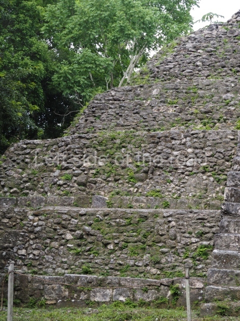
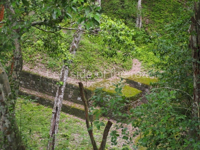
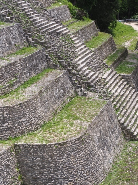
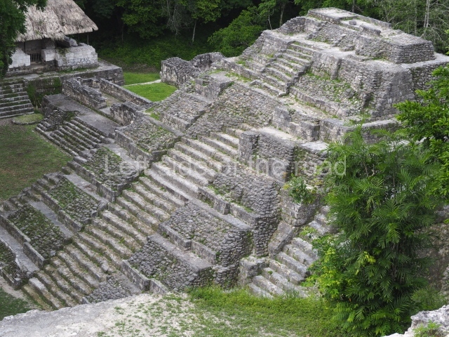
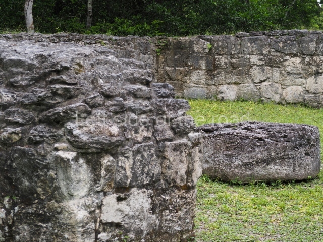
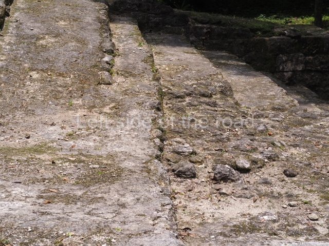
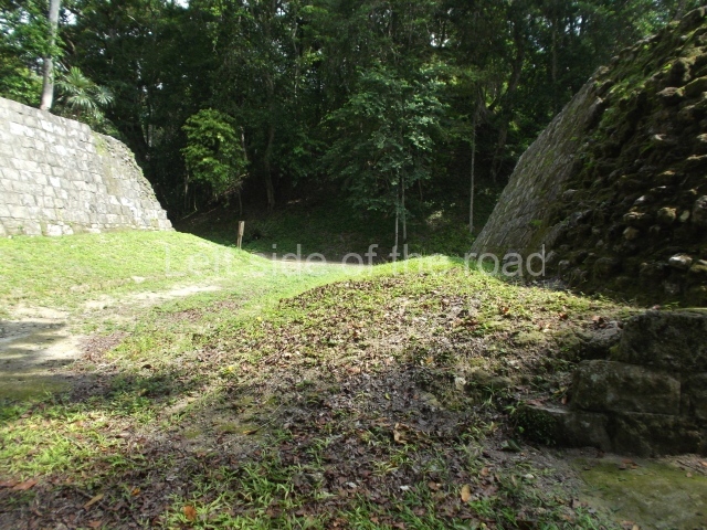
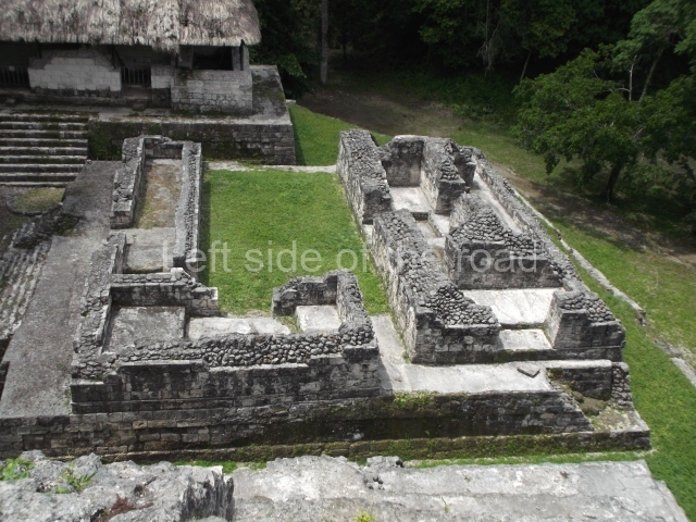
The city measures 3 km from east to west and boasts over 500 monumental constructions. In the core area are three groups of tall buildings (the North Acropolis, North-east Acropolis and South Acropolis, the latter with six interior courtyards), two ball courts, an astronomical complex (the elongated building on the east side measures 160 m), four plazas with stelae, various vias or streets and other constructions. One via leads from the core area south to the lake (the Lake Causeway); another horizontal causeway, 260 m long, leads north to the Maler Group. This via is composed of containment walls that form a dyke between two plazas with buildings at the same height (the Blom Causeway).
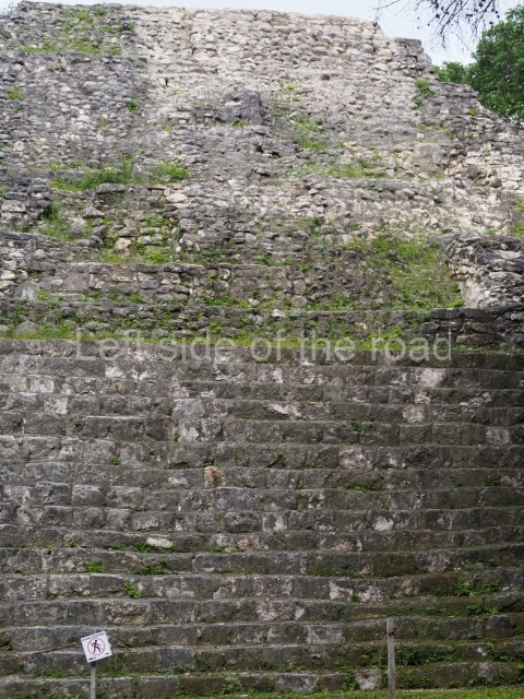
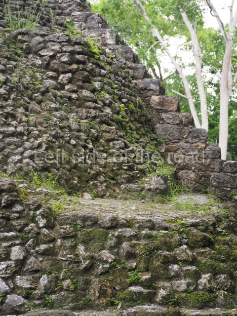
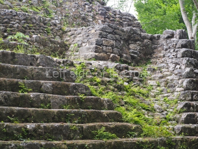
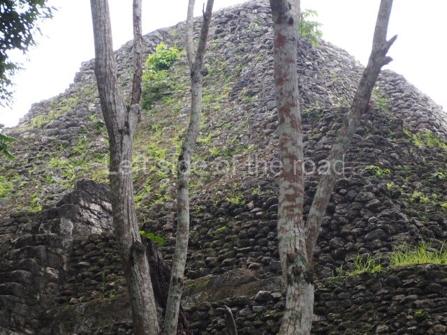
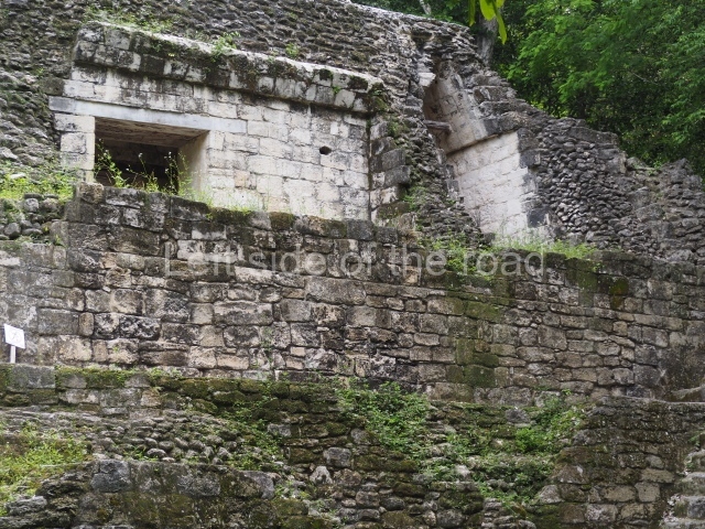
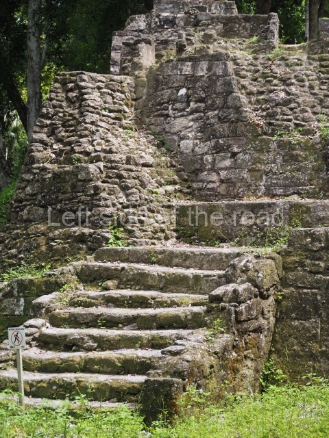
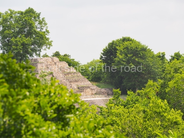
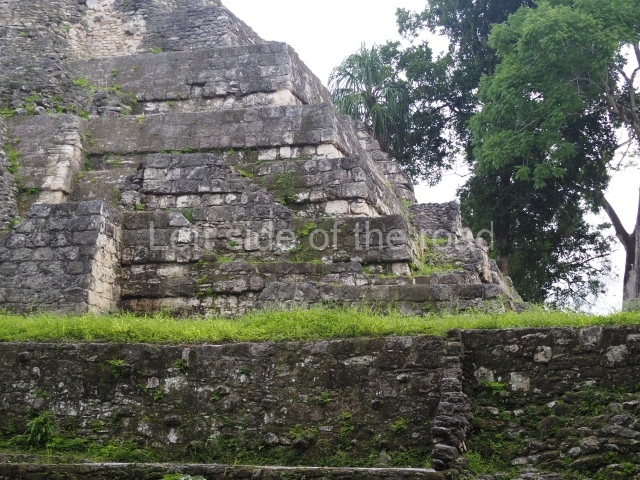
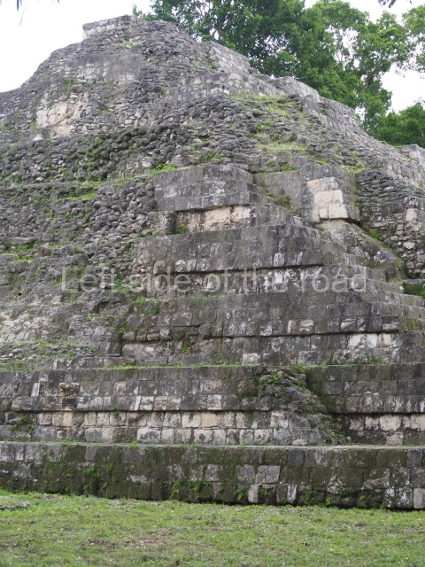
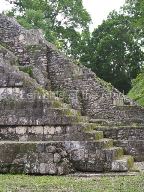
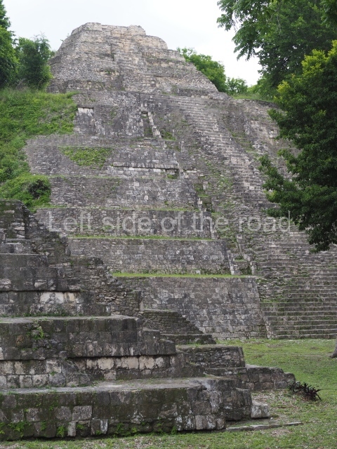
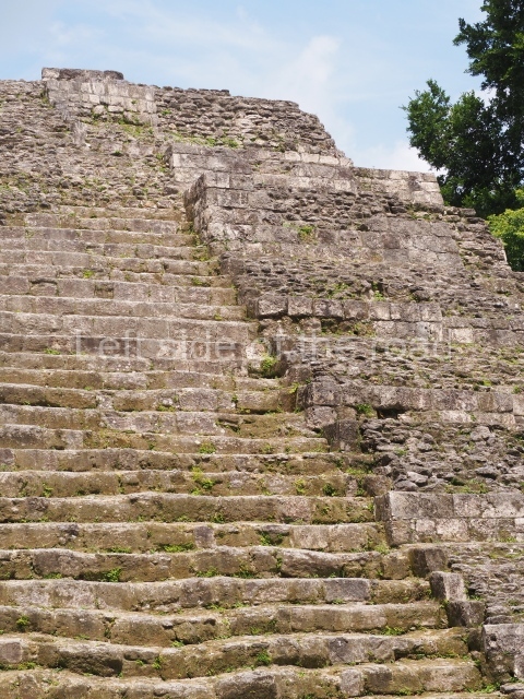
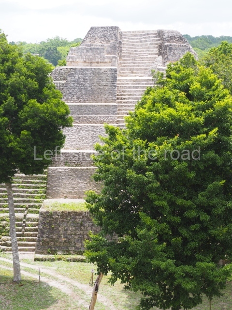
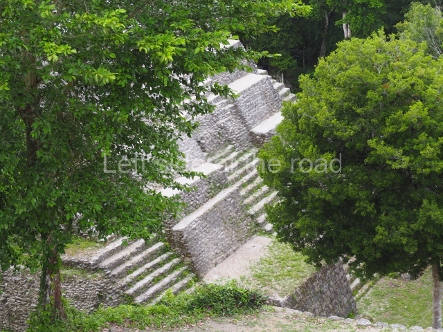
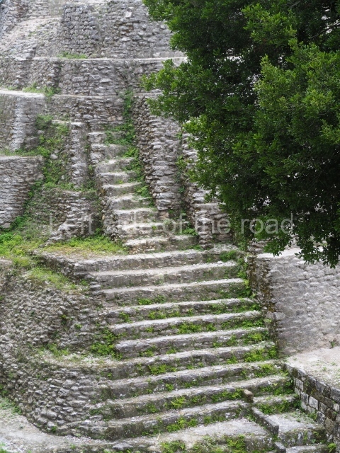
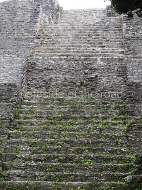
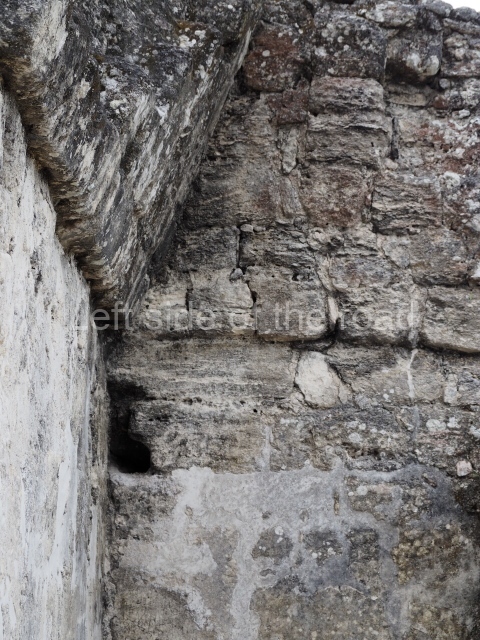
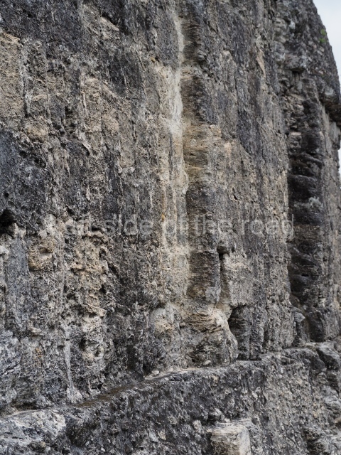
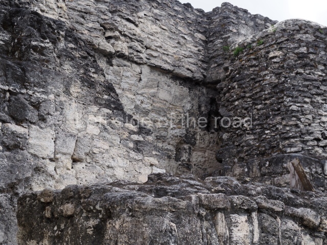
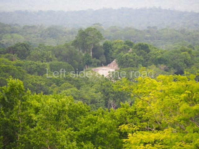
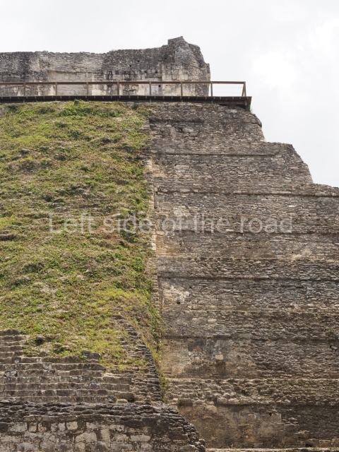
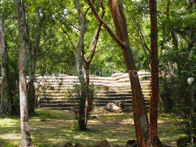
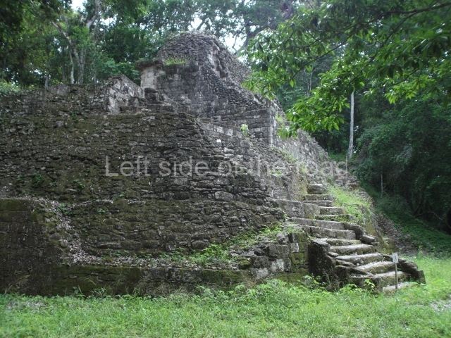
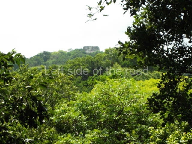
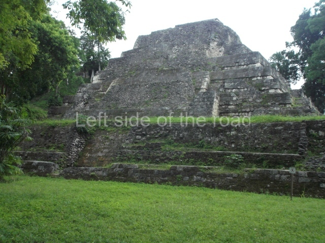
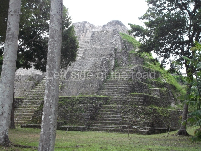
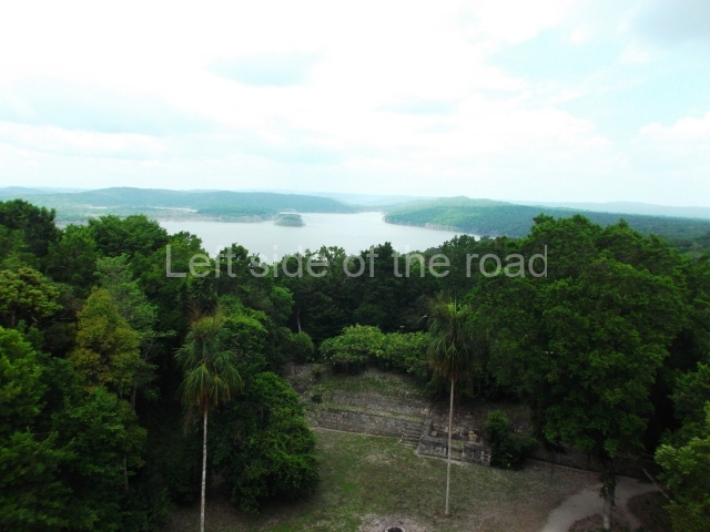
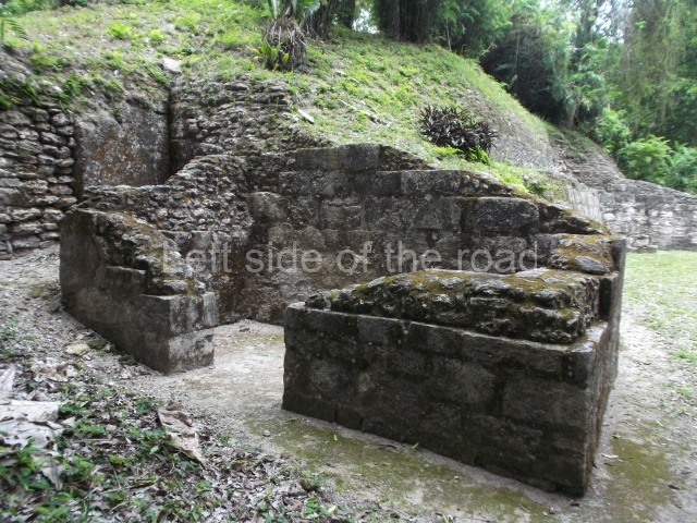
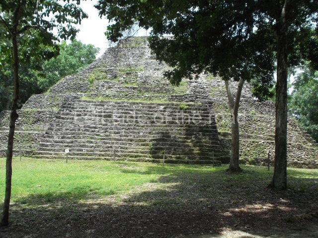
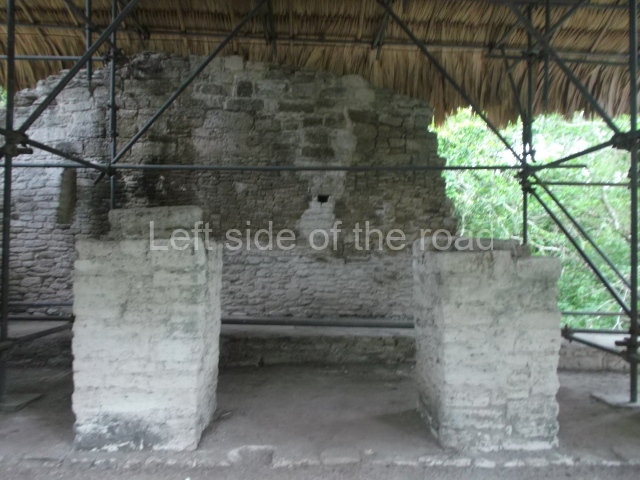
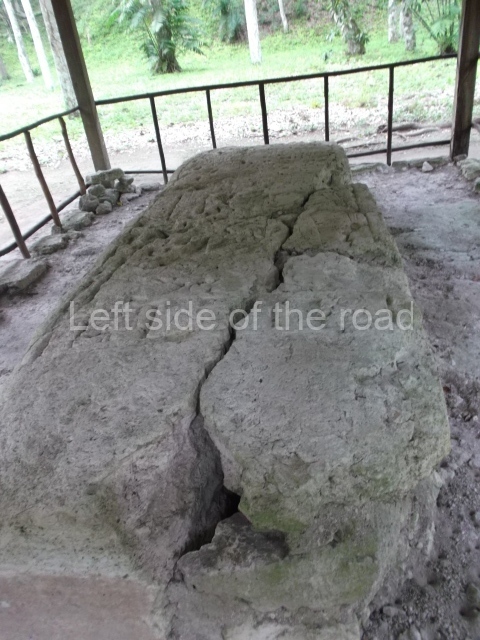
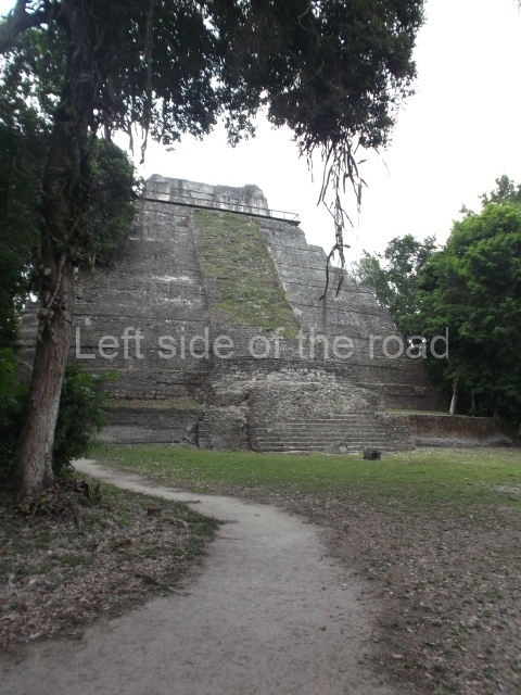
Two additional causeways connect the core area of the site to the East Group (East Causeway and Lincoln Causeway). This part of the city is the highest and is formed by several groups of buildings and a plaza with twin pyramids (Plaza A), the only one of its type outside Tikal. This group is composed of two twin pyramids without temples, one on the east side and the other on the west side of a raised quadrangular space. Both pyramids have four stairways, one on each side. At the north end of the plaza is a building, now minus its roof, formed by walls with a single entrance; this is called the ‘sacred precinct’. Inside is an altar, without any inscriptions, and at one time there was probably also a stela. Situated south of this group is an elongated building. The north and south buildings have been partly restored, pyramid temple 216 in the East Acropolis is the highest point of the city and offers spectacular vistas over lakes Yaxha and Sacnab in the south and the great wetlands in the north.
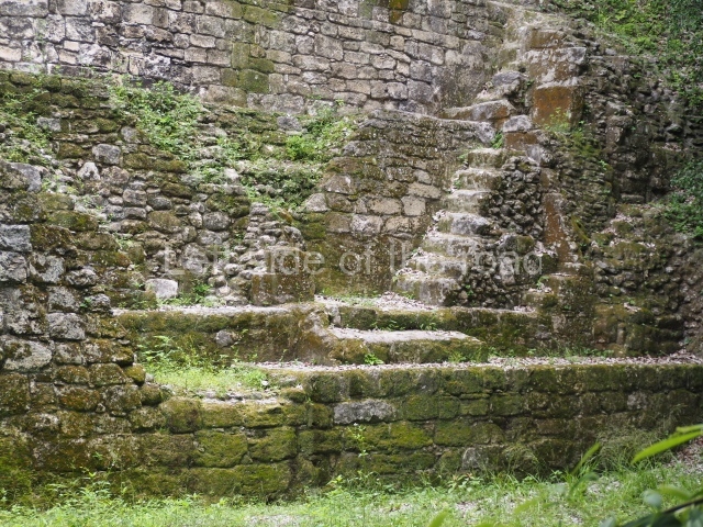
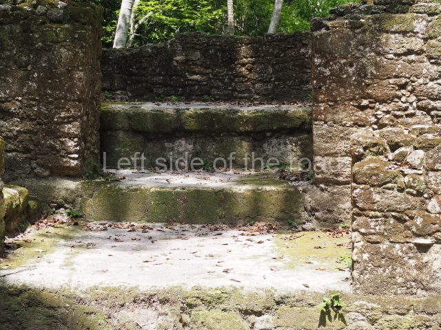
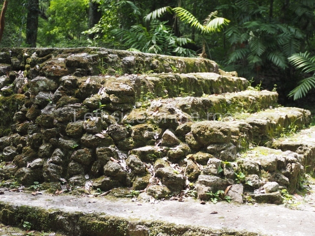
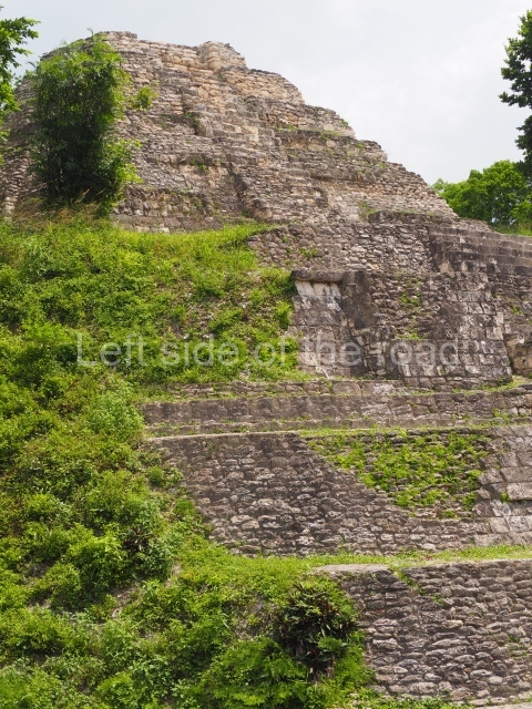
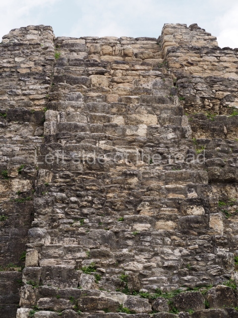
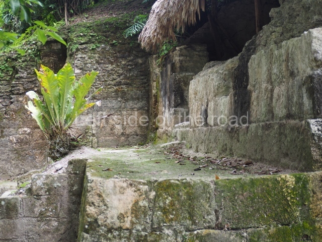
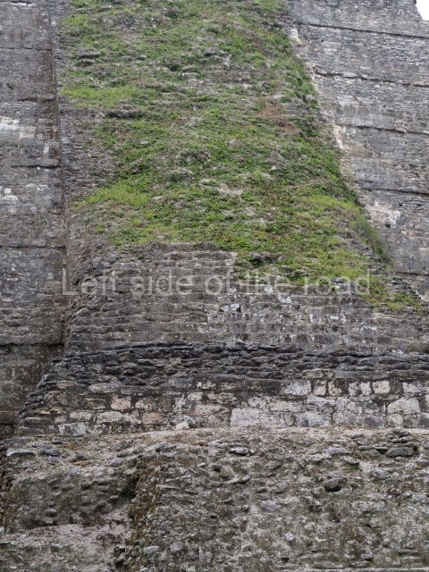
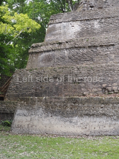
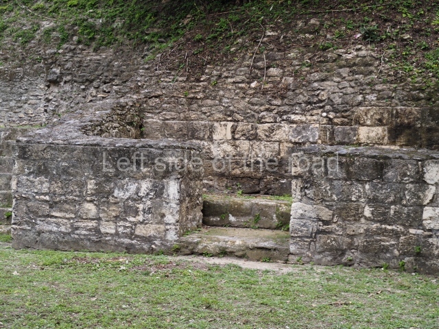
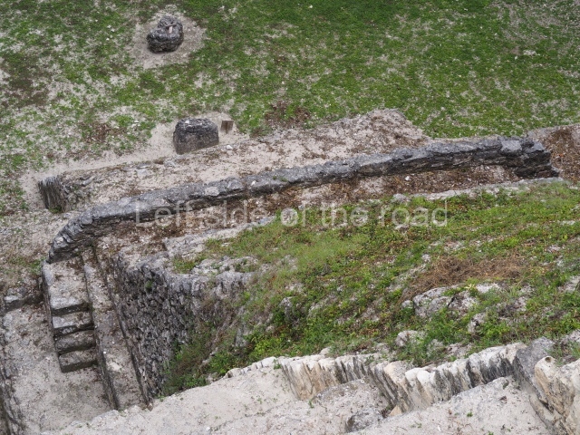
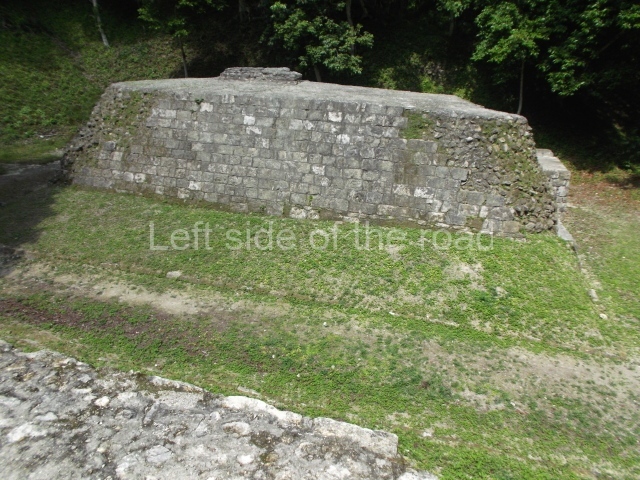
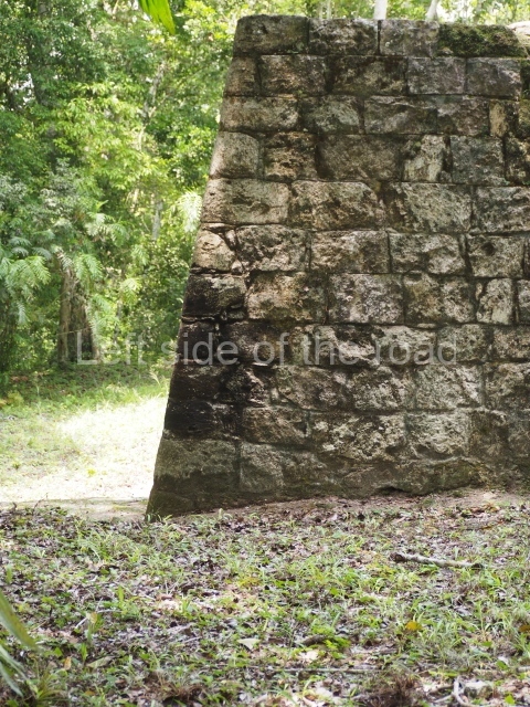
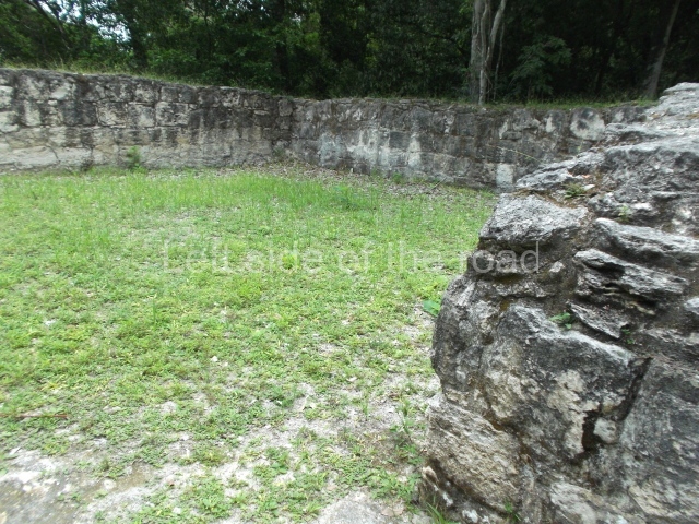
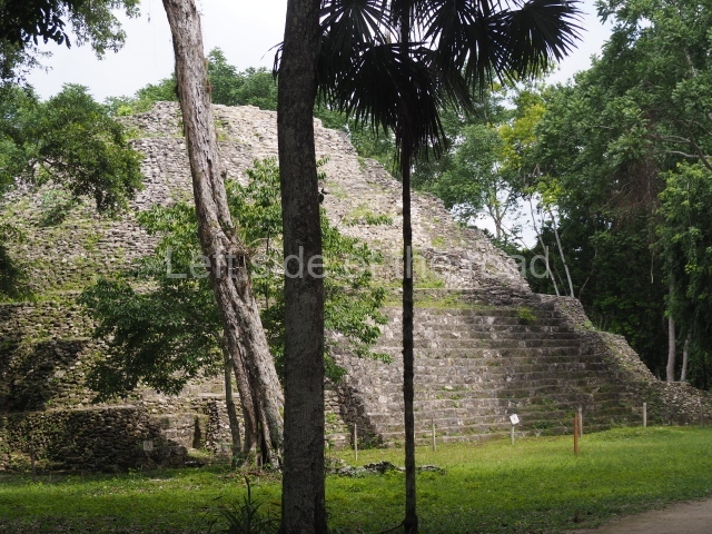
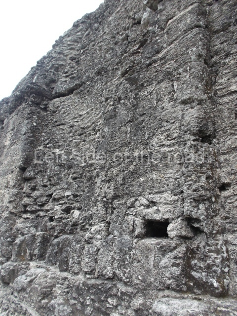
Yaxha only had one building with visible architecture (Temple 216), which was restored between 1996 and 2002. Following over 15 years of controlled vegetation in plazas and buildings, based on the concept of landscape architecture, visitors can now enjoy the urban space, building 218 in the East Acropolis has also been restored, and other interventions were conducted in Plaza C, Plaza B, Plaza E, Ball Court 1, Courtyard 4 of the South Acropolis, the North Acropolis and the Maler Group.
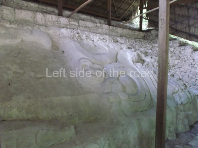
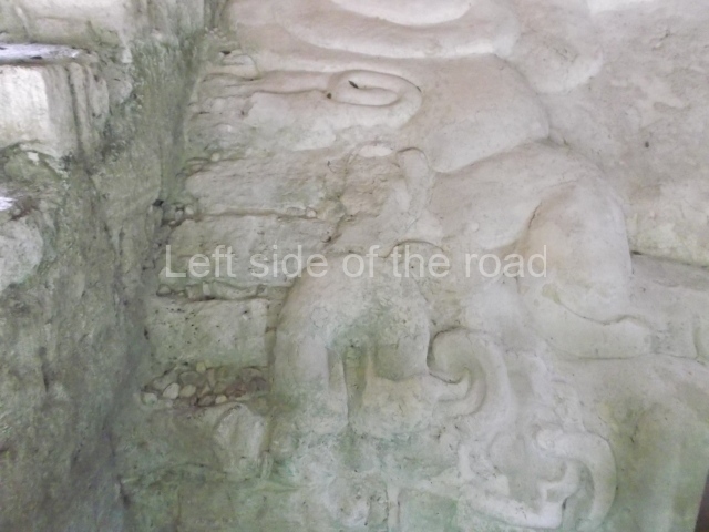
Yaxha was occupied from the Late Preclassic, as evidenced by the giant masks on the buildings in the North Acropolis. The urban structure dates from the Terminal Classic. The city enjoyed considerable importance during the Classic period as an ally of Tikal, although it was conquered and burned three times by the neighbouring city of Naranjo, 20 km east, and was involved in the so-called ‘war of the stars’ waged against Tikal. In fact, the last ruler of Yaxha was sacrificed at Naranjo in AD 799.
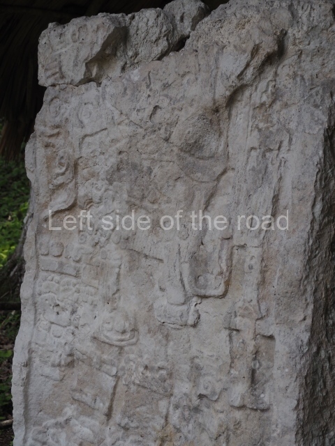
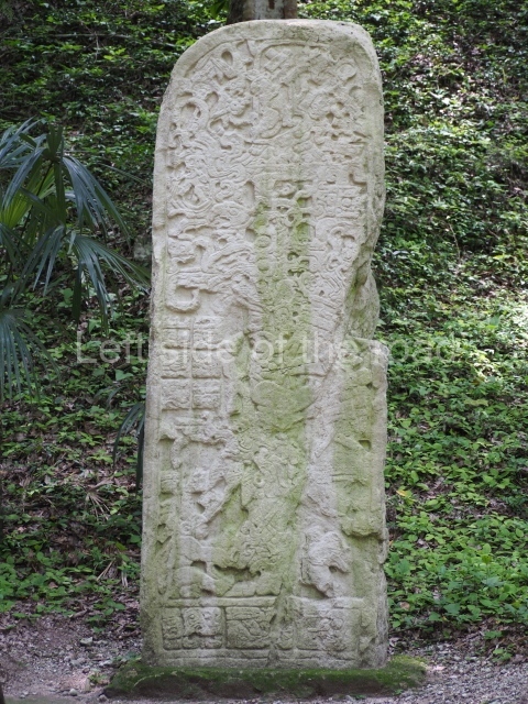
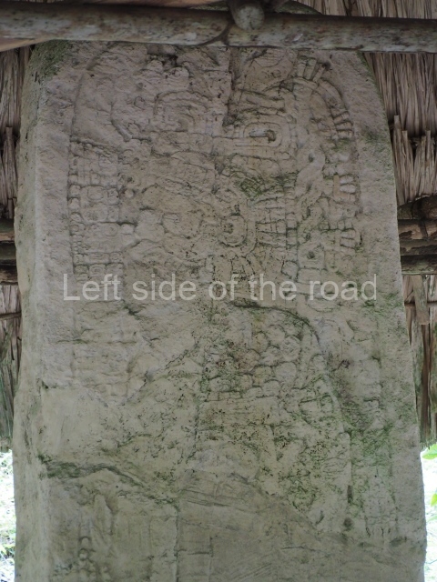
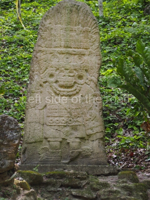
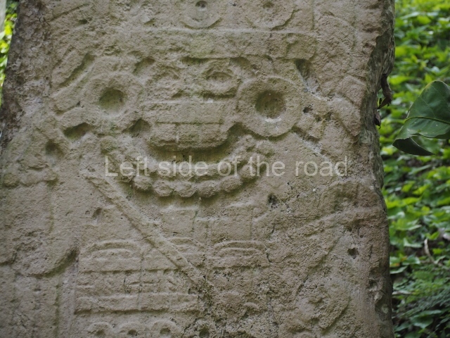
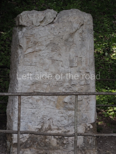
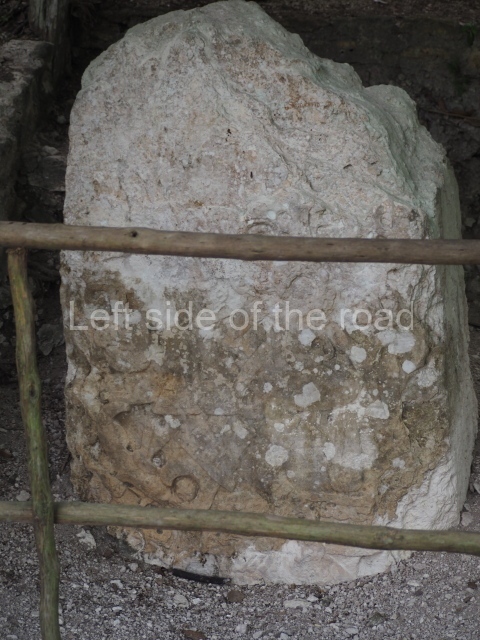
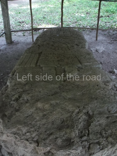
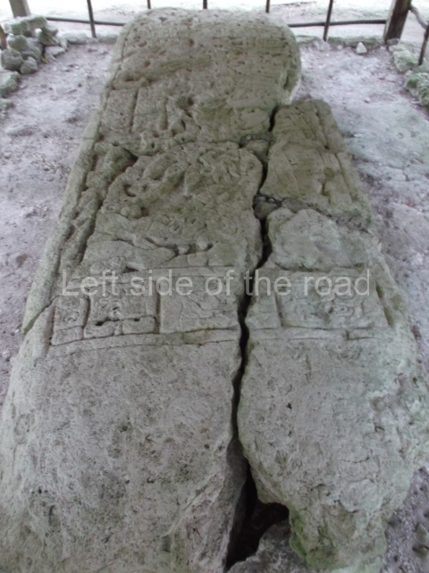
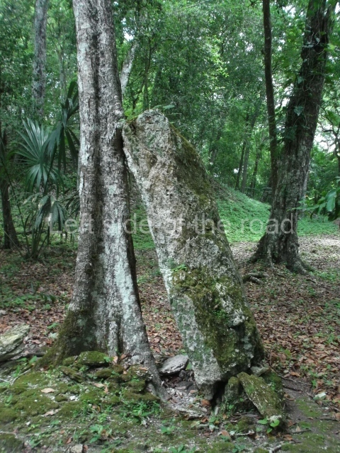
Yaxha had 32 sculpted stelae, the most famous of which can be found in Plaza C (stelae 1 to 6). Stela 6 is currently in storage at the National Museum of Archaeology in Guatemala City. A replica of Stela 11 can be seen in Plaza B, as well as the greatly eroded Stela 36. A replica of Stela 13 can be seen in Plaza A and in Plaza E a replica of Stela 31, known as the Stela of the Birds.
Oscar Quintana Samayoa
From: ‘The Maya: an architectural and landscape guide’, produced jointly by the Junta de Andulacia and the Universidad Autonoma de Mexico, 2010, pp212-213
How to get there:
The entrance to the National Park is only 8km from the main road between Santa Elena and Melchor de Mencos (on the Guatemalan/Belize border) and there are many colectivos that ply that route so getting to the approach road is not a problem. However, it would be difficult to fine any transport for this short distance – and the entrance to the archaeological site is yet another two kilometres away. I ended up contracting a taxi from Melchor and that worked out well but not cheap. But then I’m not good at bargaining and others might be able to negotiate a better price.
GPS:
17d 04’ 34” N
89d 24’ 9” W
Entrance:
Q80 – payable at the entrance to the National Park.


