Montseny Natural Park and the Congost Valley
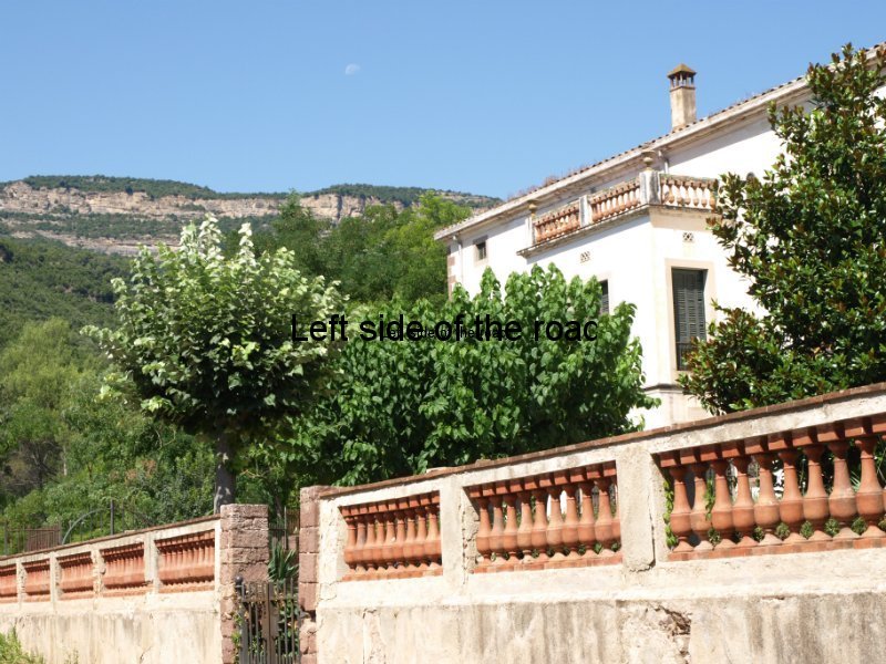
The Montseny Natural Park, just to the north of Barcelona in Catalonia, contains a wide variety of flora and fauna and offers many opportunities for the walker. On its western edge is the Congost Valley, historically one of the escape routes for those fleeing the Fascists towards the end of the Spanish Civil War.
Have been able to do a couple of walks during my 6 or so days here so far. More getting back into the habit of walking and enjoying the heat, the sight of the sun (can those in Britain remember what it looks like?) and the blue skies than exploring new areas. Just after I arrived a heat wave was predicted for virtually the whole of the Spanish peninsula and although it’s been hot here the temperatures are not as extreme as in some other parts, due to being a bit further north and also inland amongst the hills.
But it has been extremely dry here over the last couple of months (following an unusually cold winter spell) and it has got to the extent that announcements are being made on the trains imploring passengers to be extra careful in avoiding any potential forest fires. So far Catalonia has been spared any of these during the present period of high alert. A wind that tends to come down from the Pyrenees in the afternoon can be physically pleasant but brings with it the danger of fanning any fires that do start. This is the Traumontana (in Catalan) which ceases to become a relief from the heat and becomes a real threat to the hills and the communities that exist in the region.
Although not many people do so I think it is still possible to walk in this part of Spain during August. Yes it’s hot, but an extremely early start can mitigate that problem (I started far too late on my first excursion) and the worse that can mean is you are in the bar by early afternoon.
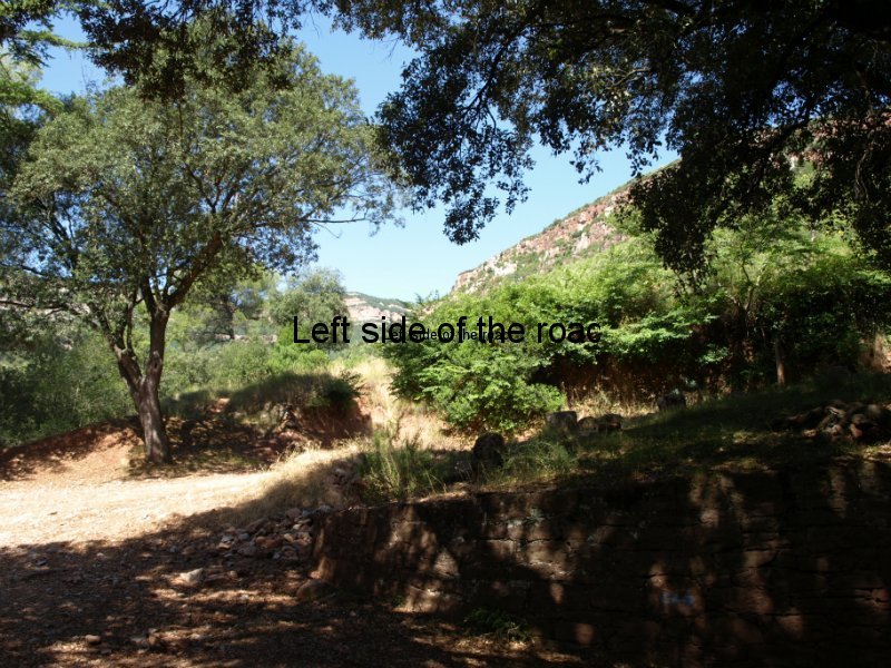
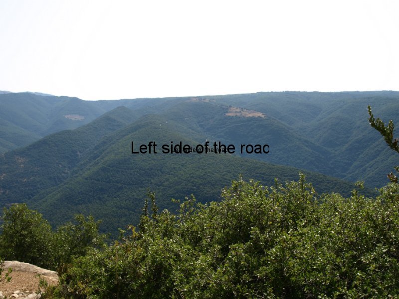
If you don’t know this part of Catalonia I think it will come as a pleasant surprise that you are actually able to walk in the hills. Looking at them from the road or the train the hills in the Congost valley look almost impenetrable, a mass of pines and oaks with no way through. This is even the impression if you are looking across from one side of the valley to the other. However, once you get away from the main roads and explore this area you’ll find there are a myriad of tracks, too many tracks, too many junctions and too many ways to go wrong if you are not familiar with the area.
I have the good fortunate of being able to remember (not always, but more often than not) where I have been and my experience on my first couple of excursions was one of recognising familiar landmarks. But this is such a rolling landscape that at one moment you might be looking down on to a largish town, the next you are walking along a small valley where you have lost all perspective. And that’s one of the things that makes this area a joy to explore. Within a relatively short distance from civilisation you can appear to be in the middle of nowhere. Then, perhaps a relief, perhaps a shock, you turn a corner and you are assaulted by the noise of the traffic along a major highway from Barcelona to the French border.
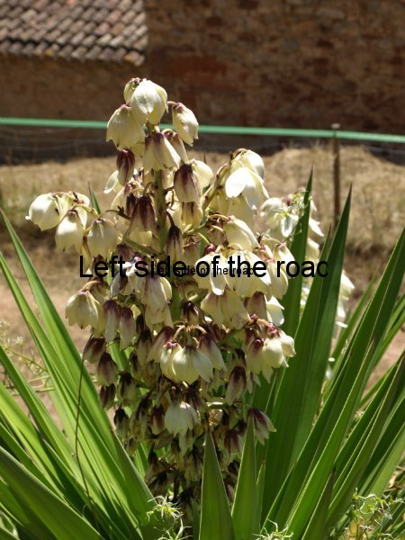
One of the advantages of the heat is that it brings out the smells of the plants and that attracts the insects. In one five-minute section of my couple of walks I’ve seen more butterflies than I’ve seen all summer in Britain. Although I’ve been walking in the Mediterranean for many years I’ve still to remember all the names of the different plants. But as you walk along you get wafted by the smell of the fig. Rosemary and different varieties of sages are ubiquitous, along both sides of many of the wider tracks. As the day develops and temperatures rise this all compensates for the heat that bounces back at you from the road.
I said a myriad of tracks and with that comes a myriad of signs. Useful at times but at others confusing. It’s all to do with a way of thinking but I still find it difficult to arrive at a junction and find a sign indicating the place I’ve just passed being shown in the completely opposite direction. It makes sense in that there is a circular route but disconcerting nonetheless.
And one thing I learnt on my first outing with my new GPS toy is that technology means nothing if you don’t know how to use it properly. Perhaps it’s good I know much of this area quite well and don’t depend upon some US military controlled satellite to find my route. The maps available for this area are becoming increasing more reliable (since the army maps of the Franco era have been steadily replaced by those that seek to inform rather than confuse) and are probably more useful when you arrive at a junction with 3 routes all pointing in, more or less, the same direction.
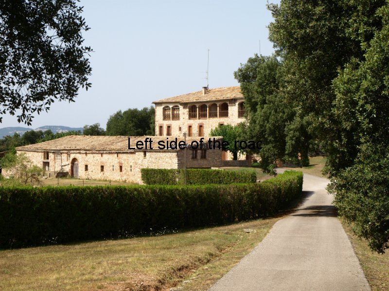
Am recording the routes as I go along and am thinking about putting them on the blog. One of the issues I have to deal with is the dependence upon local transport to get to the beginning and/or end of a walk. That works to a point but in some of these hills there are virtually no settlements of any kind (other than an isolated monastery now converted into a big private estate) and have had to make recourse to the thumb on one occasion already. But with a certain amount of planning it is possible for someone to get into these hills. And as many people who go to the coast for their holidays rent a car this makes this area even that more accessible.
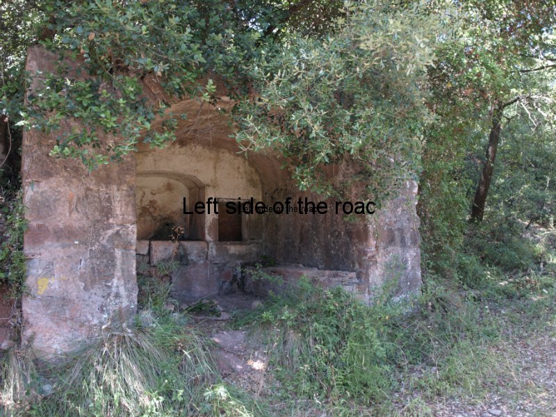
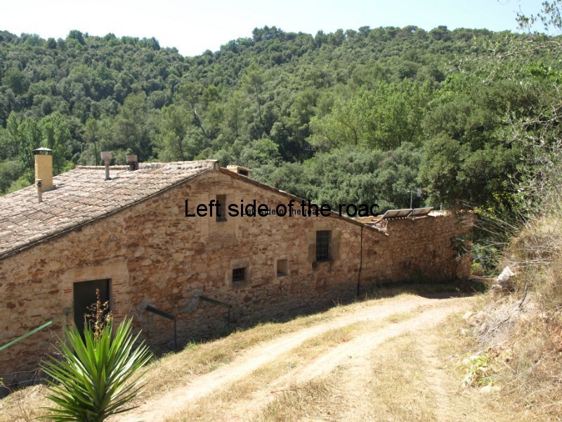
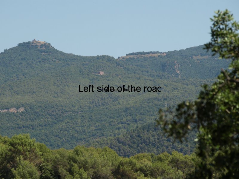
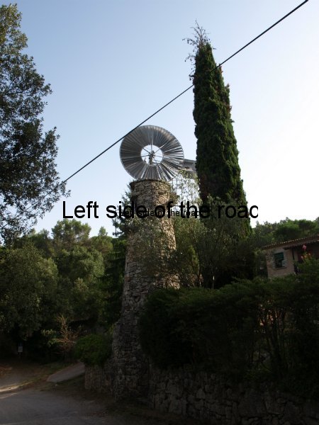
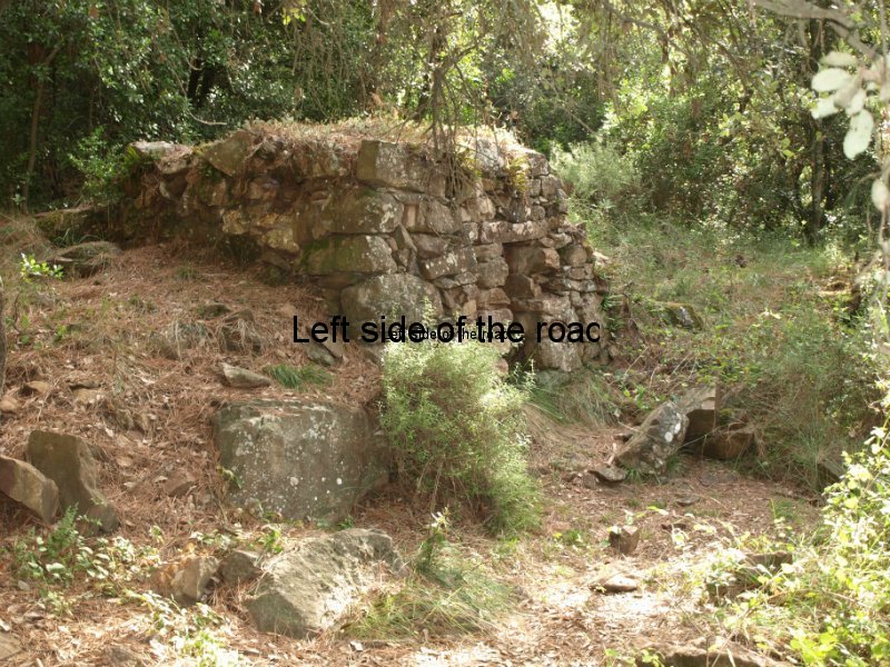
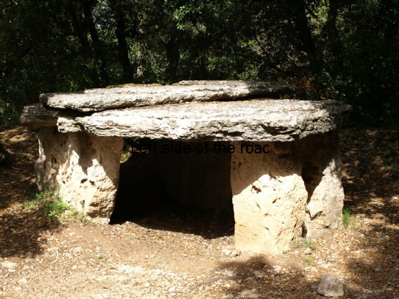
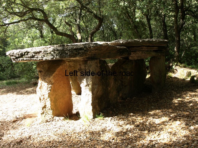
Have attached a slideshow to the end of this post to give a bit of an idea of the terrain and what it contains. As I said in my welcome this area is rich in history and culture and much of this can be experienced by walks into the countryside. Summer is always a bad time for long distance landscape pictures as there is an almost permanent haze, but hope you can get some idea of the area.
Now off to get away from the computer and have a few pints in one of the cheapest places I have found in the area for a beer (some of the places I’ve been to over the last few days are definitely into the idea of fleecing the tourist/foreigner – something which always annoys).

