Xcambo
Location
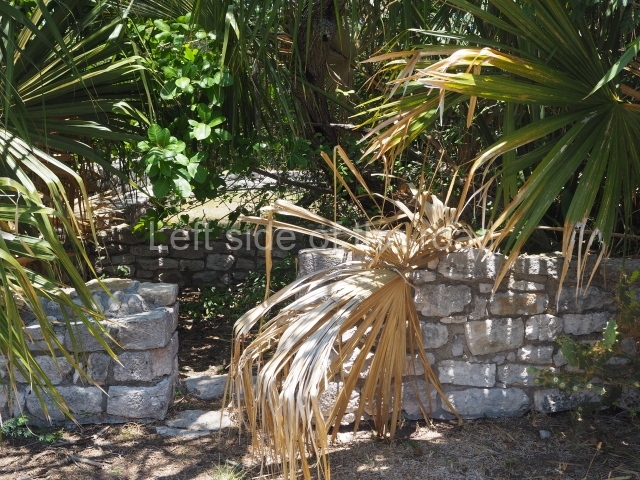
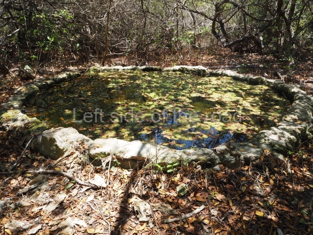
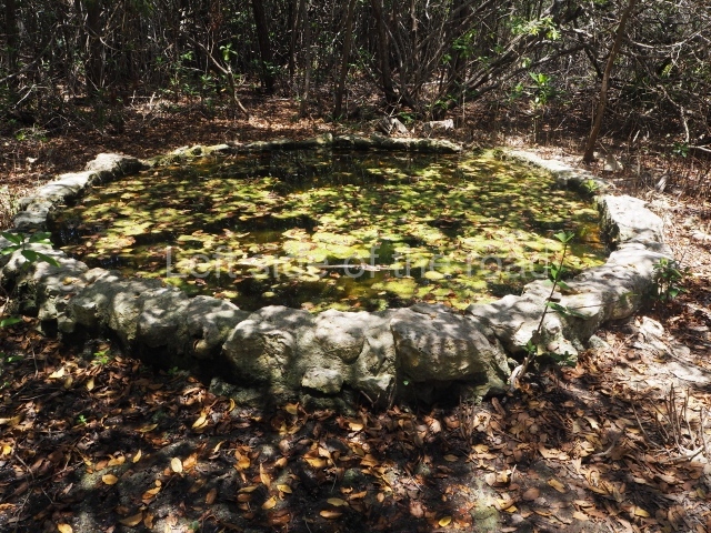
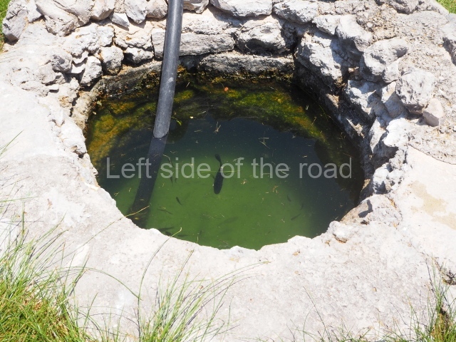
The archaeological site is situated on the north coast of the state of Yucatan. There is a turn-off to the town of Dzemul on the coastal Progreso-Telchac road. A path, some 800 m in length, then leads from the west of this road to the core area of the site. Xcambo is situated in the middle of a marshland with numerous beneficial characteristics for habitation: the soil, drinking water and materials for dwellings, such as the local zacate grass for the roof and stones nearby for the construction of the buildings.
Pre-Hispanic history
The stratigraphic evidence at Xcambo indicates the existence of two important ceramic groups: the Xtampu group corresponding to the Early Classic (AD 350-550), which is related to the Cochuah ceramics in northern Yucatan and Tzakol II and III in the southern lowlands; and the Xcambo group from the Late Classic (AD 550-700), which is composed of material related to several horizons such as the Canbalam on the Yucatec-Campeche coast, the Cehpech horizon in the north of the Yucatan Peninsula, and the Xcambo group, which is part of the Tepeu I group and is related to the fine-paste ceramic on the central coast of Tabasco and in the Zapata-Usumacinta area.
Xcambo was a commercial port that administered salt pans and marine products, as well as a local, regional and supraregional trading centre. At the beginning of the Early Classic (AD 200-600), the cultural influences from Peten began to emerge in the early structures of the Maya communities, especially in the north of the peninsula. Izamal exerted its power over numerous sites on the north-west coast, which suggests that it controlled the coastal resources and products in the area (cotton, stingrays, honey, wax, etc.) for trading purposes. The establishment of the port at Xcambo during the Early Classic was probably an important part of Izamal’s infrastructure. Meanwhile, in the Late Classic (AD 600-900), new independent polities were emerging to replace the old economic and political structures, leading to the disappearance of nearly all the elements that characterised the old system. Although this situation had a decisive impact on the focus of trade during the Early Classic, it did not lead to the disappearance of the commercial port at Xcambo, which retained its independence; this largely appears to have been thanks to its control over local resources, such as the salt pans and marine products, which enabled it to sustain a strong economy. This same independence also implied the appropriation of the production and maintenance of nearby villages and urban centres further inland, which provided it with a variety of resources (food, labour and goods for trading). In the Late Classic (AD 700-900/1000), the consolidated Maya communities, keen to expand their domains, centralise production and control trade, appropriated key points of their jurisdiction where the busiest and safest trade routes were located. This led to the emergence of new ports with different trade links, as a result of which Xcambo was gradually isolated and abandoned.
Site description
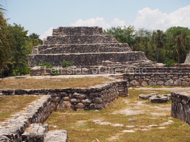
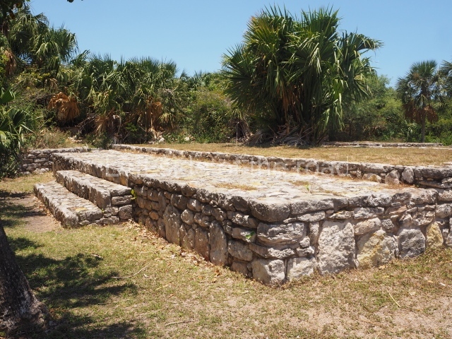
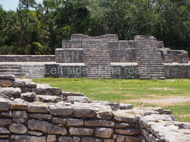
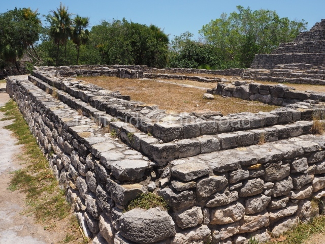
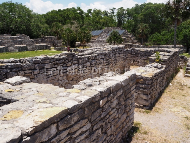
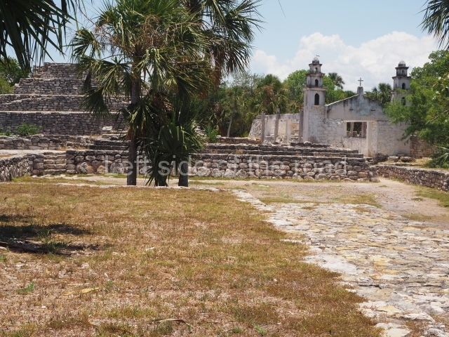
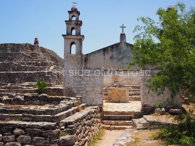
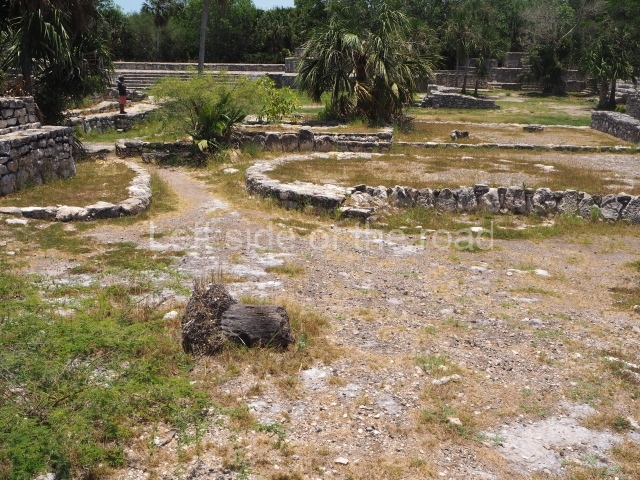
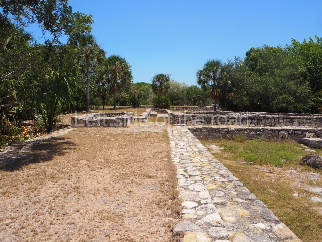
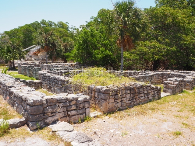
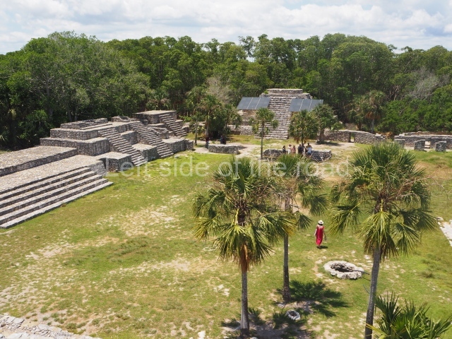
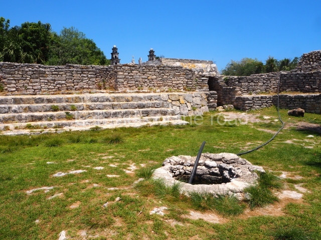
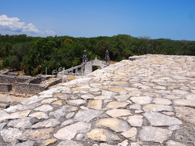
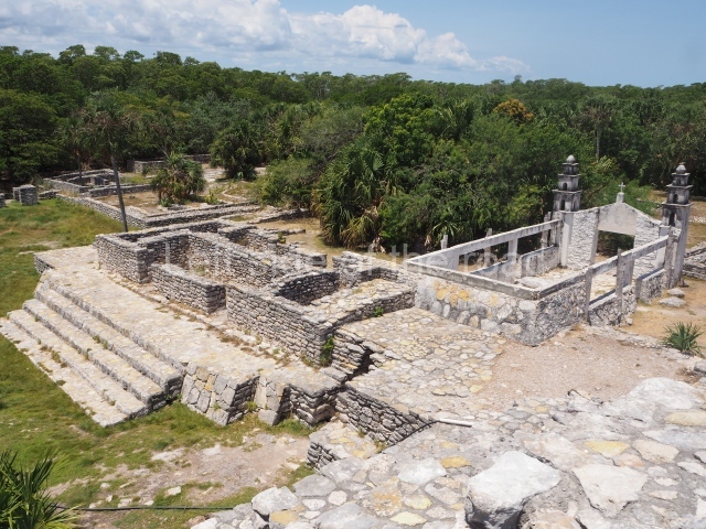
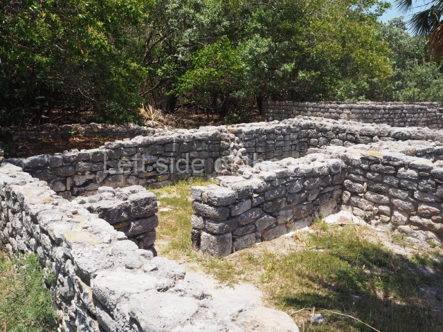
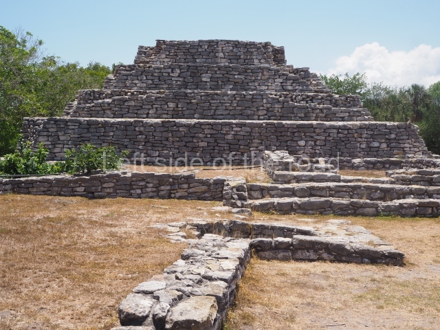
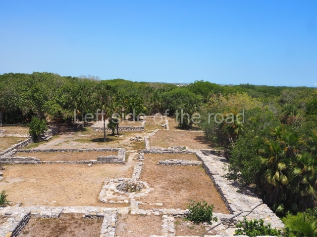
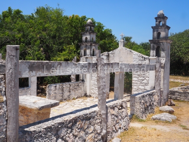
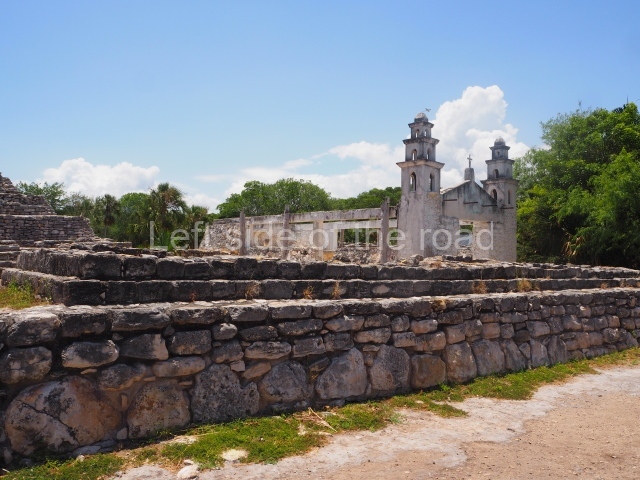
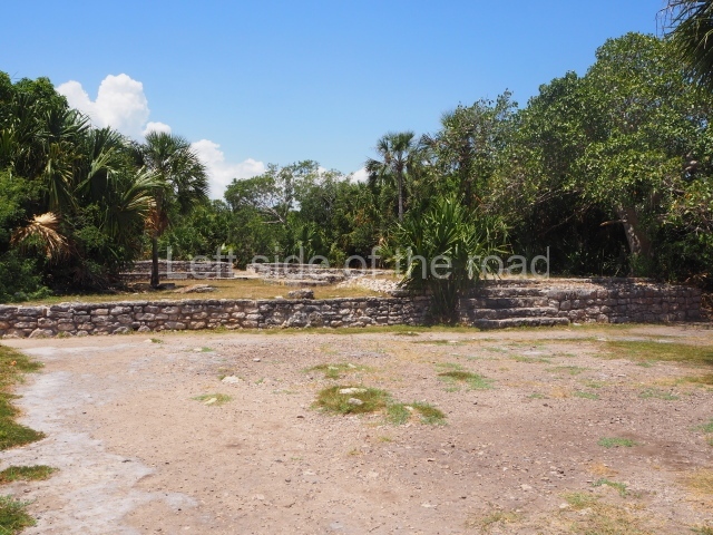
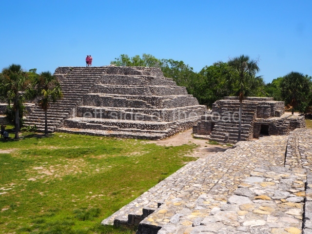
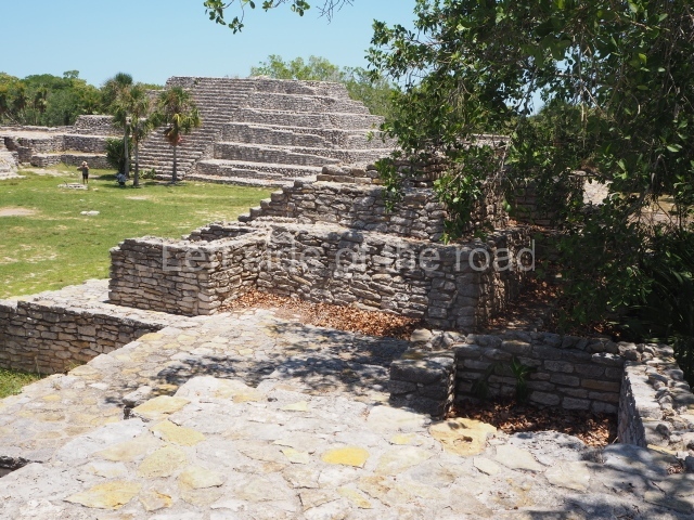
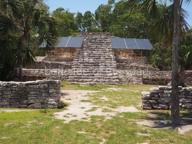
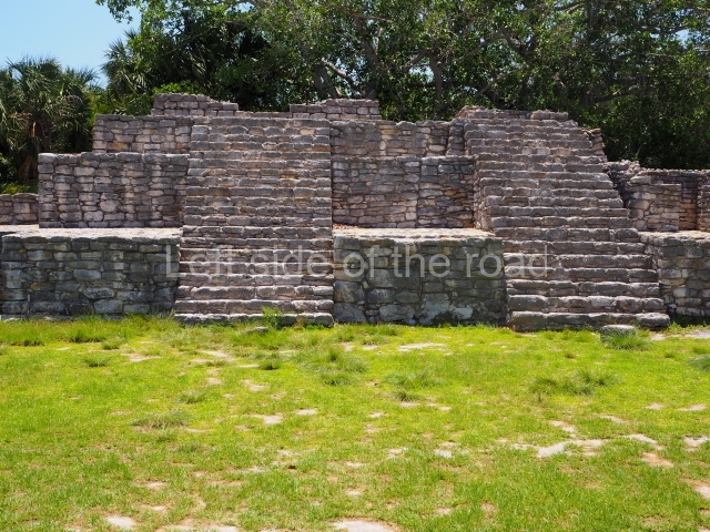
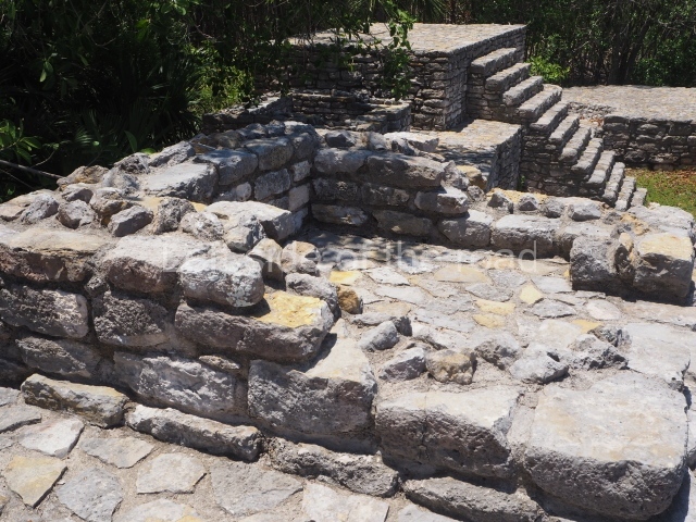
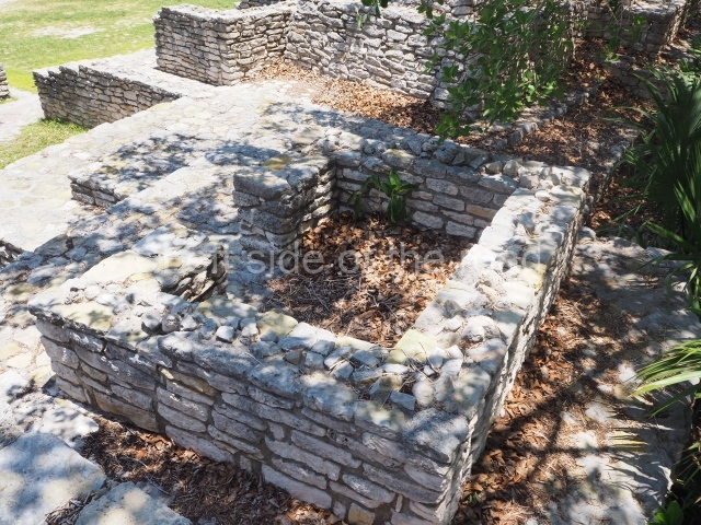
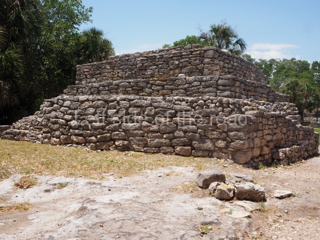
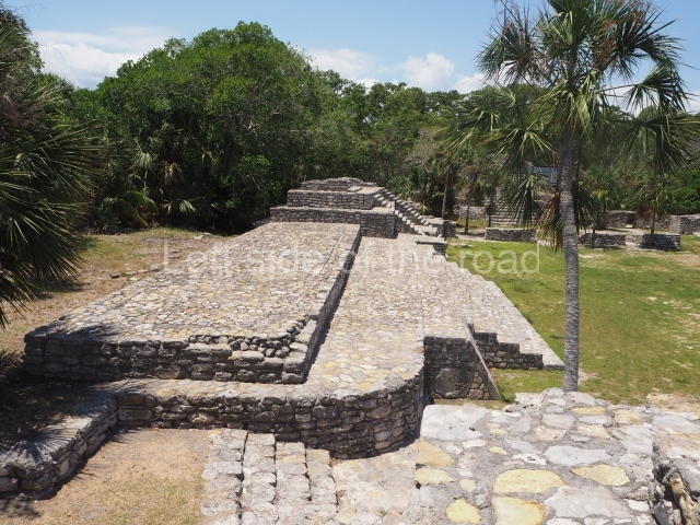
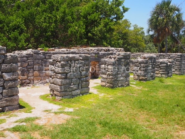
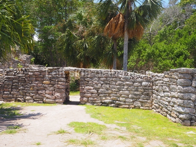
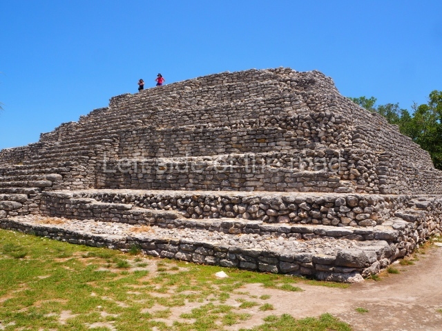
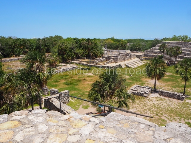
Xcambo occupies an area measuring 700 m along the east-west axis and 150 m along the north-south axis, entirely covering a natural mound. It contains a main plaza and a smaller one, both of which are surrounded by large elite residences and smaller dwellings where the lower-ranking population lived. It also contains several roads leading to other places. The main plaza once had 11 buildings and is noted for its size and the quality of the stonework. Situated 250 m from the main plaza is an open space comprising three structures and a causeway leading to a residence located 110 m to the east. Another causeway, 12 km in length, leads from the same plaza to Cemul (nowadays, Dzemul). Finally, a third path commences at the south-west end of Xcambo and continues 1,280 m to the south-west, to the site known as Misnay. Near the main plaza but further north is a jetty or wharf.
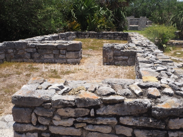
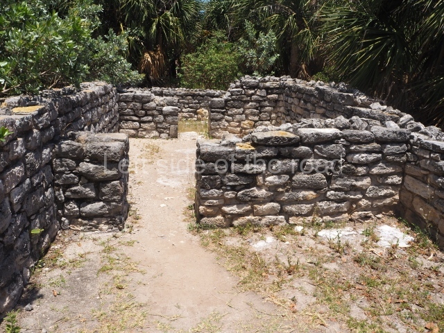
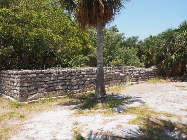
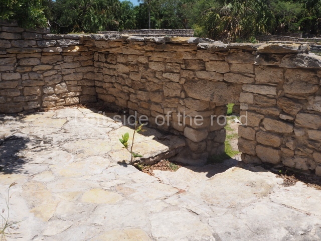
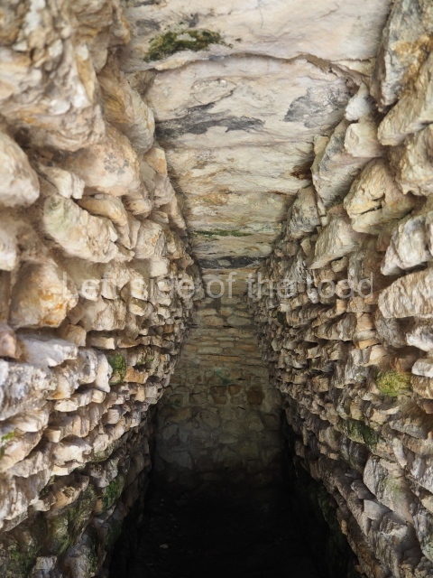
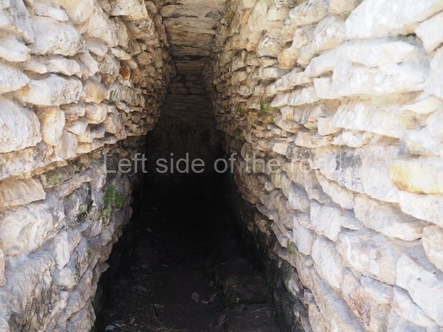
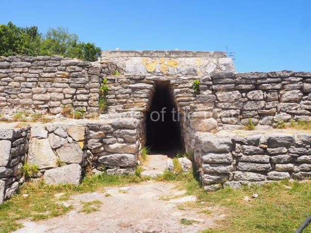
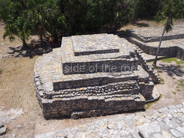
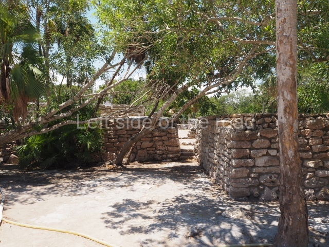
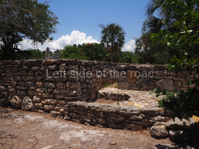
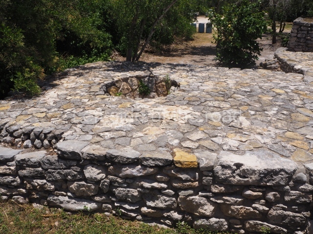
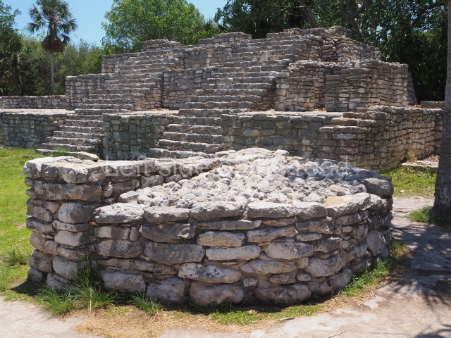
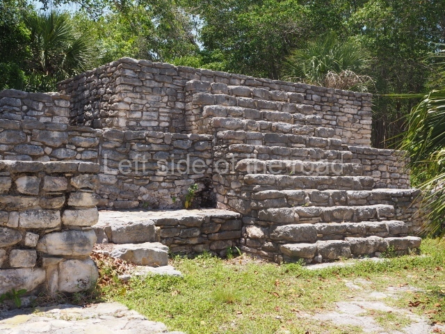
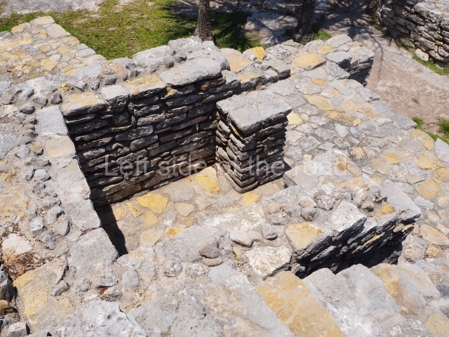
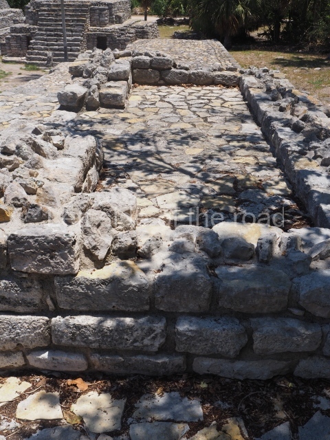
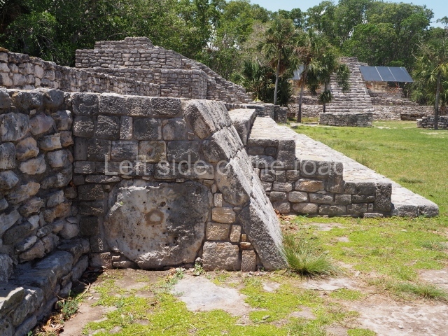
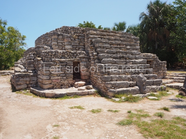
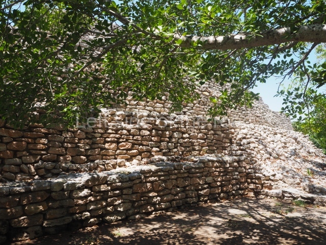
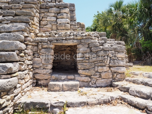
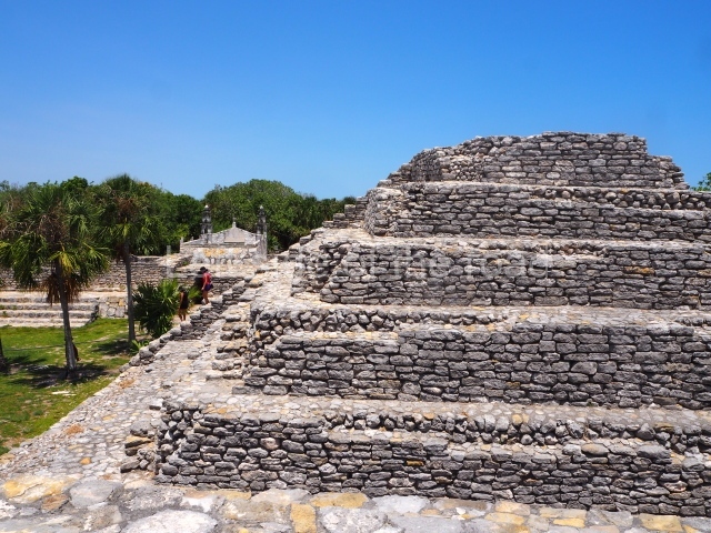
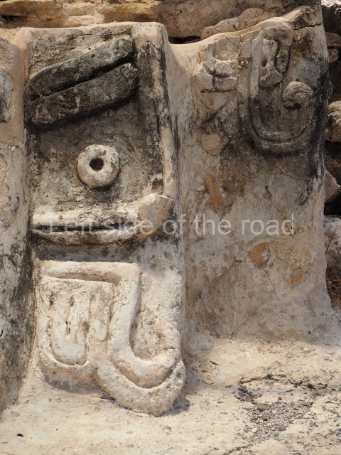
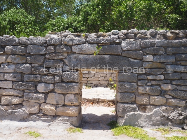
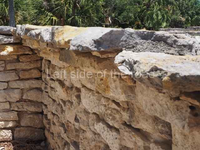
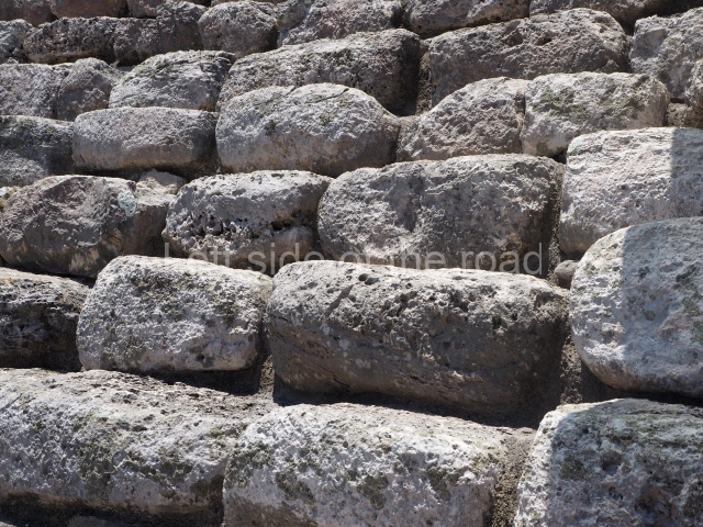
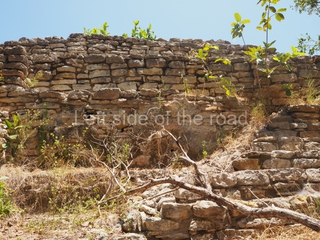
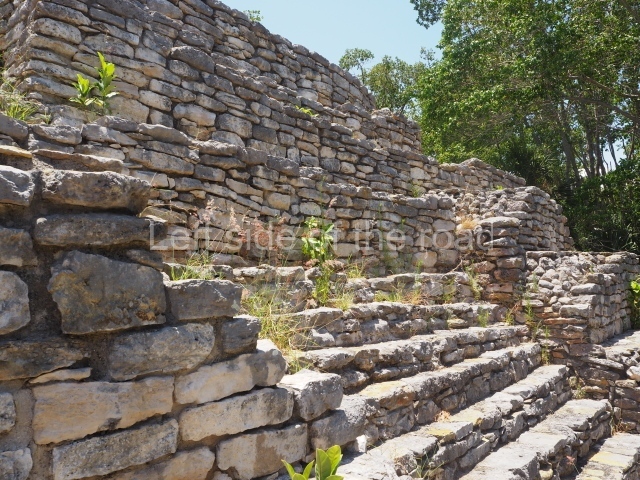
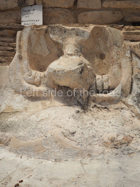
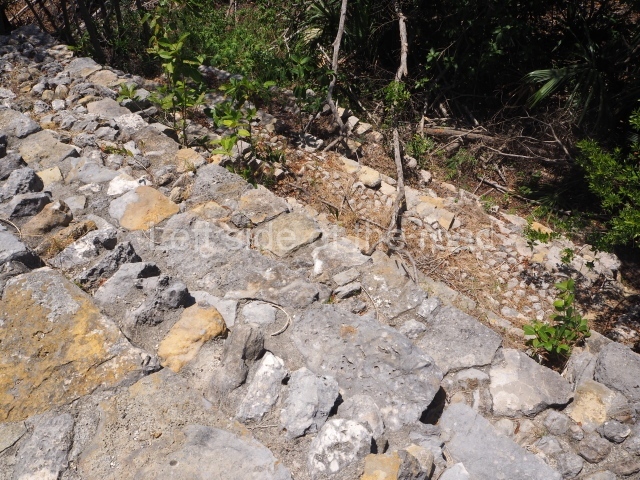
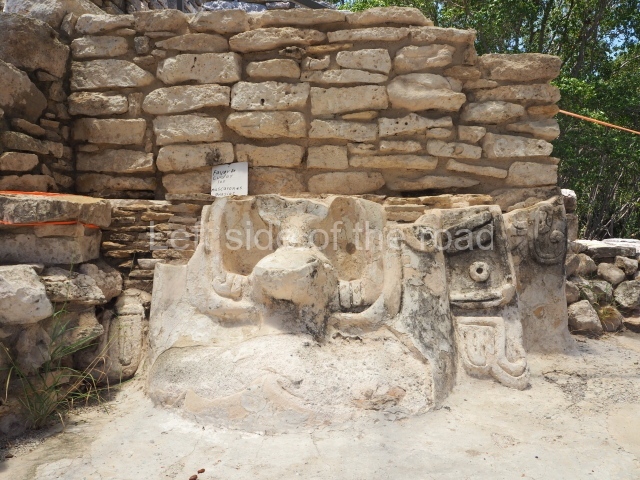
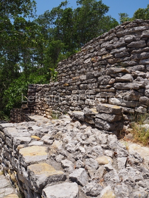
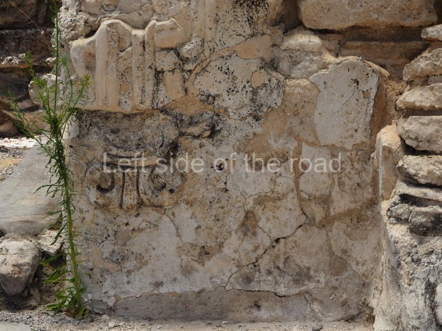
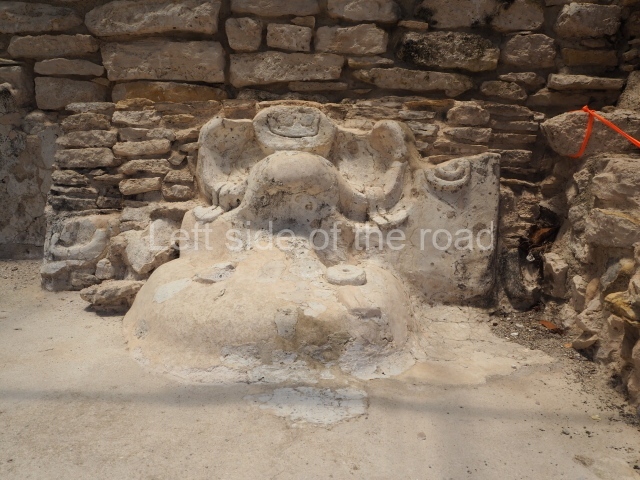
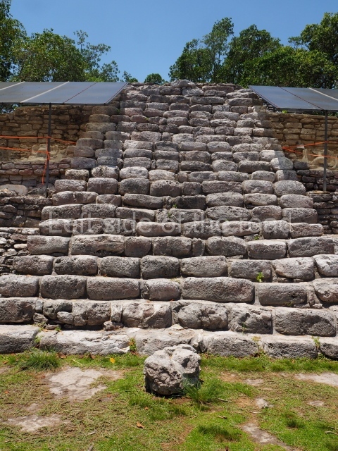
From the architectural point of view, the most notable buildings at Xcambo display a mixture of elements that are characteristic of at least two styles from the Classic period: the Peten and Megalithic or Izamaleno style, which characterises the Early Classic constructions in northern Yucatan (stepped pyramids, rounded corners, inset corners, sloping platforms, small decorative stairways, thick stucco floors and painted stucco masks). At this site it is also possible to see architecture based on coarse rectangular blocks and rough stone slabs with dry or mortar joints, covered with thick stucco floors to hide the imperfections in the walls.
Ceramics
The explorations conducted at the site have uncovered over 800 ceramic pieces (vessels) in the polychrome, bichrome and monochrome varieties, as well as numerous terracotta figurines. The ceramics correspond to the sumptuary use (fine, decorated tableware for special occasions, offerings, burials and ceremonial events) and everyday use (ordinary plates and dishes for preparing and storing food and liquids).
Importance and relations
The port of Xcambo enjoyed an important economic and political position, varying its relations through the ages with the communities in northern Yucatan. The population must have been mainly dedicated to salt production and large-scale trading. The site contains a rich variety of ceramic materials and artefacts, particularly from external sources. During the Early Classic, Xcambo maintained strong trading links with sites in the centre and north-west of the state of Yucatan, northern Quintana Roo and the Peten region in both Campeche and Guatemala; it may well have operated as an intermediary port between Izamal and Teotihuacan. In the Late Classic, as an independent site, Xcambo shifted its economic focus and established direct and indirect connections with the Gulf Coast. It maintained links with the sites on the nearby coasts of Campeche and western Yucatan; with those in the centre and northwest of Yucatan; with the north-west of the peninsula; with Peten in Campeche and Guatemala, with a few sites in the Grijalva-Mezcalapa basin in Tabasco, with the Zoque mountains in Chiapas, with a few places in the middle and lower stretches of the River Usumacinta in Tabasco and Chiapas, with the area near the Terminos Lagoon and the Atasta region, and with a few sites in the central part of the Veracruz region.
Thelma Sierra Sosa
From: ‘The Maya: an architectural and landscape guide’, produced jointly by the Junta de Andulacia and the Universidad Autonoma de Mexico, 2010p, p398-399.
Getting there:
Bus or colectivo to Dzemul from Merida, Calle 52, between Calles 63 and 65, M$40 (2023)
From Dzemul you will need to take a mototaxi to the site, which will wait for you and then return you to Dzemul. There are always plenty around. M$250.
GPS:
21d 18’ 48” N
89d 21’ 14” W
Entrance:
M$90


