Cerros – Belize
Location
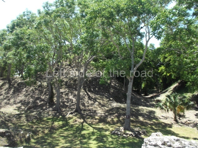
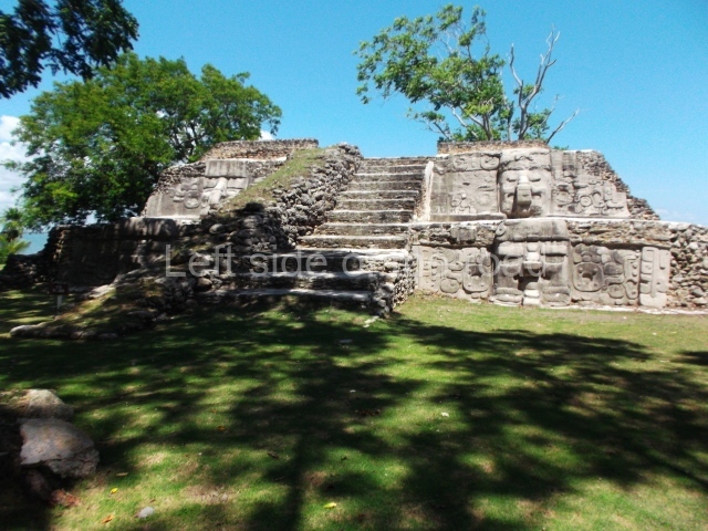
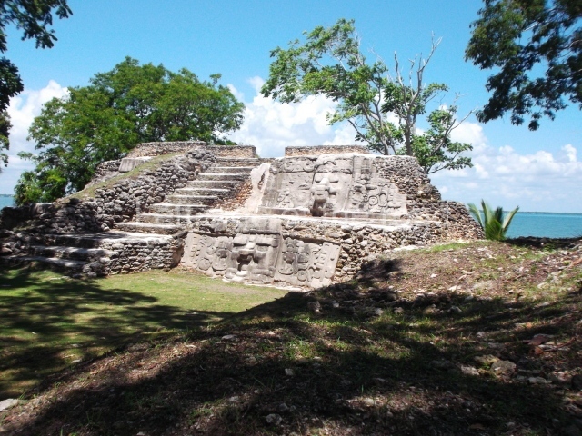
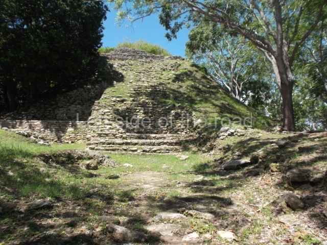
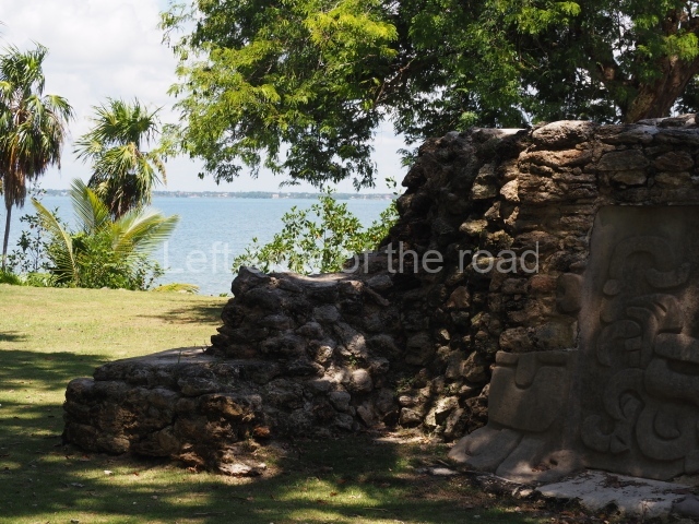
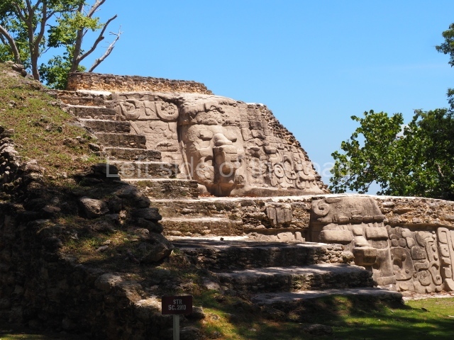
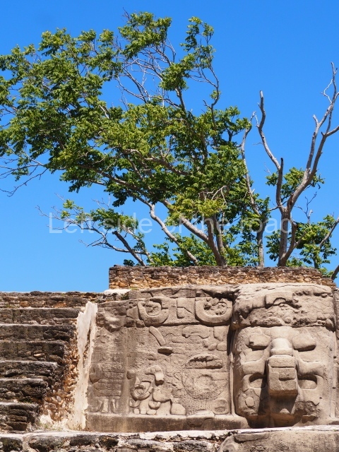
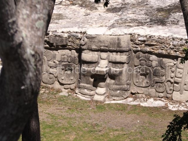
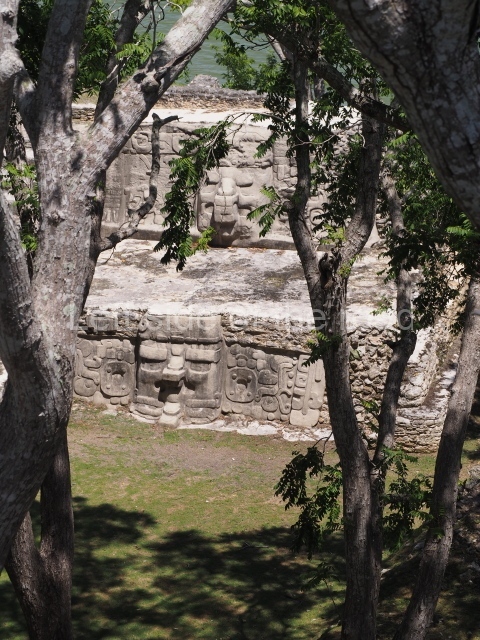
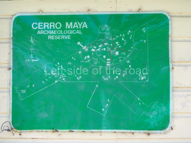
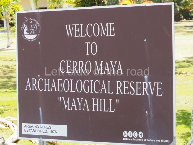
Situated on the edge of Corozal Bay, this is a relatively small site by Maya standards. Viewed from the city of Corozal, it creates the impression of a hill (cerro, in Spanish) rising above the surrounding vegetation. It is located inside the Cerro Maya Archaeological Reserve, which encompasses over 50 acres (52.62 hectares). The site is composed of three architectural complexes, with various plazas flanked by pyramidal structures. Two of these pyramids have facades adorned with masks rising to between 2 m and 4 m in height. The site can be reached by boat from Corozal and then a short walk. It is also possible to reach it by car. The site has a restroom and a small visitor centre.
History of the explorations
Thomas Gann was one of the first to recognise the place as an archaeological site, although it was only registered with the Belize Institute of Archaeology in 1969, when Peter Schmidt and Joseph O. Palacio visited it. The land on which it is situated was purchased by Metroplex Properties, which created the not-for-profit Cerro Maya Foundation for the purposes of excavating, consolidating and rebuilding the ceremonial precinct in order to attract tourists. The foundation’s plans included a research centre, a site museum and a hotel and pool. In the event, the foundation went bankrupt and the large-scale development of the site was abandoned. Cerros was mapped, excavated and partially excavated between 1973 and 1979 by David Freidel from the Southern Methodist University (SMU). Freidel channelled his energies into the ceremonial precinct and the importance of the site as a trading centre. In 1983, Cathy Crane, also from SMU, studied the ancient canal and associated structures in search of pollen and other organic remains. She was followed in the 1990s by Debra Walker of Florida International University, who conducted the Cerros Cooperative Development Project (CCADP). Recently, the Institute of Archaeology has taken over the site and made reproductions of the masks.
Pre-Hispanic history
What makes this site special is that the majority of its visible architecture corresponds to the Late Preclassic. Although various re-modellings were conducted during the Classic period, the most important constructions data from the Late Preclassic. More recent materials have been found, but these possibly date from colonisation during the Terminal Classic rather than to a permanent occupation. Cerros experienced its heyday between 50 BC and AD 100, during the Postclassic, although it was a very important site as early as 400 BC.
Site description
Situated in a strategic location for maritime trade, the site may well have been involved from a very early date in the importation of jade and obsidian from the Guatemala Highlands and the exportation of flint artefacts to Colha. Located just a few kilometres to the south of Cerros, Colha possessed flint of the finest quality. Its raw materials and artefacts were greatly esteemed and the site was exploited from the Palaeo Indian age to the Postclassic. However, Colha has not been included in this guide as it is not open to the public; its mounds are privately owned and as there are no road signs it is virtually impossible to find. There is evidence to suggest that Cerros had trade links with the north coast of the Yucatan peninsula and with the highlands of Guatemala and El Salvador.
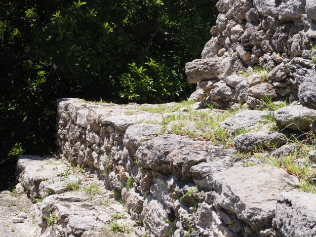
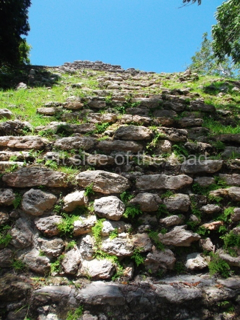
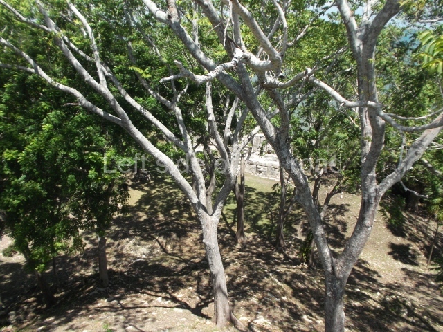
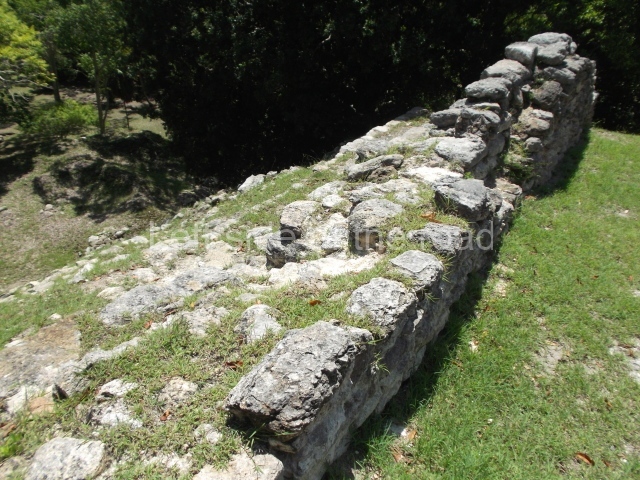
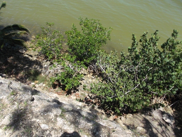
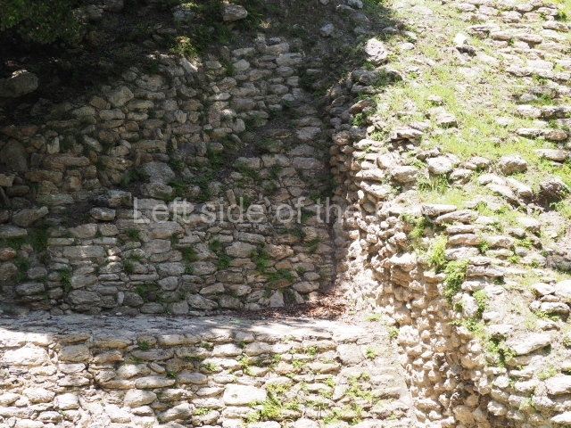
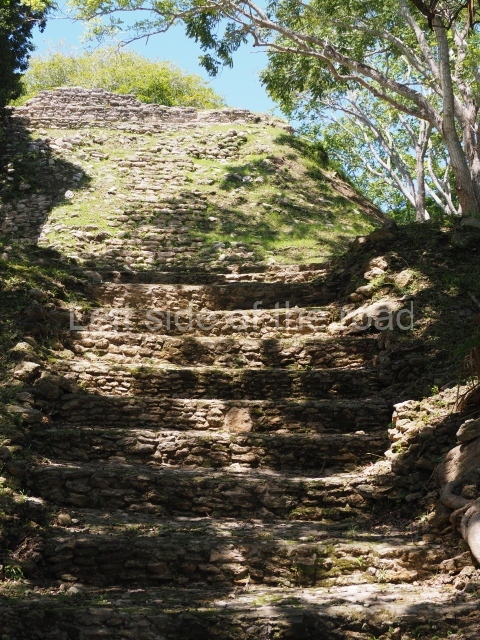
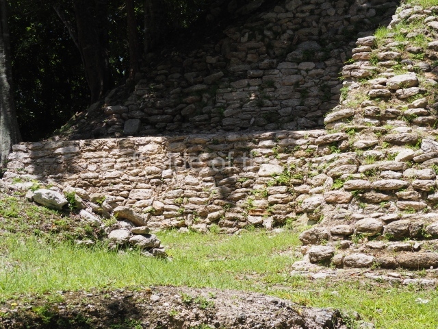
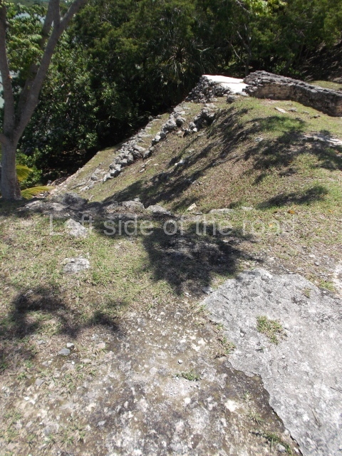
The proximity of the sea has eroded two large structures, one of which is Structure 5C-2nd, which had stucco masks on its facade. The Belize Institute of Archaeology has made replicas and the originals have been covered to protect them. Structure 5C lies at the northern tip of the site and is the closest to the sea. Situated south-east of this is Structure 4B, the tallest construction at Cerros (rising 22 m above the plaza). These structures have been consolidated and it is worth climbing to the top of 4B to admire the scenery and view some of the exposed walls of the temple. In the main part of the site, buildings 3, 4B, 5C and 6B can all be climbed. The plazas gradually ascend in height from south to the north, and it is a pleasant walk amid the vegetation with handsome vistas of the sea. Cerros has three ball courts, buildings for public functions, temples and a canal over one kilometre in length that belonged to a system of raised fields and runs along the south and east sides of the main part of the site. Part of the canal has been excavated. Altogether, 103 constructions have been recorded around the perimeter, including residential structures as well as ceremonial and public buildings.
From: ‘The Maya: an architectural and landscape guide’, produced jointly by the Junta de Andulacia and the Universidad Autonoma de Mexico, 2010, pp266-267.
How to get there;
This is not easy as there is no regular public transport. There is supposed to be a boat route from Corozal but this is expensive and intermittent. At the moment there major construction work is taking place on the road from Corozal to Sarteneja. Once this is completed (no date) that will almost certainly entail better road transport opportunities. However, this will still entail a road walk of 3kms or so.
Entrance;
B$10


