Coast to Coast Walk – Ennerdale YHA to Honister Hause YHA

Ennerdale YHA - in the rain

Ennerdale YHA – in the rain

More on Britain …

Chapter 2 – Ennerdale YHA to Honister Hause

It won’t come as a surprise to the people I know that I was the optimist on the night of the 18th, predicting good, sunny weather. I was shown the value of such baseless optimism when I looked out the window on the 19th. Grey skies, low cloud, drizzle sweeping along the valley in the way that it does, a curtain of water waving its way along. I don’t know how it works but it seems as if there are places where there’s no water and places where there is. Little wind, which is always bad news as you have no idea if what you are seeing is there for the rest of the day or for a short time. Still in my optimist mode at one time when I looked out there was a bit (a very tiny bit admittedly) of blue sky. That was at 07.30 and no blue sky was seen for the rest of the day.

So even though I had a plan I put off departure. That wasn’t a problem. The route for the Thursday was not that long and I wasn’t in any real hurry.

Also I could spend time typing up my diary. I had made an attempt to do so the night before but I was too tired to concentrate (something I’ll have to bear in mind for the future). So that’s what I did, sitting at the computer, putting off the decision to leave for as long as possible. Fortunately there was no problem of being chased out of the place – which used to be one of the worst aspects of the Youth Hostels Association (and still is in some of the hostels).

The warden of Ennerdale YHA has a different approach. The whole of the place is left open all of the day, even when there’s no-one in attendance. There’s a notice on the path at the entrance to the hostel advertising that walkers are welcomed to come in for a tea/coffee plus a bun of some sort. All self-service and with an honesty box. She says it works. And one of her reasons for doing this is in order to make the YHA and its hostels more welcoming to people who wouldn’t normally visit the places.

One day, no doubt, they will discard the word ‘youth’ from the name of the organisation. Apart from school groups or other educational structured trips you don’t come across many ‘youth’ in Youth Hostels. That’s not least as there’s a segregation between the ages. If a school (or some such organisation) books a number of beds in a hostel they basically take it over. Completely. I’m sure there’s some sort of formulae but after a certain percentage of the available beds are booked by an organisation that deals with young people (even those in their late teens that might be on something like the Duke of Edinburgh’s Award Scheme) the rest of the hostel is closed to outsiders. Perhaps there’s no limit. Perhaps if 20 beds are taken in an 80 bed hostel the rest of the place is out of bounds to anything other than another, similar institution. All this in the name of ‘child protection’.

This is merely a reflection of the anal retentive, knee jerk reaction society that Britain has become. The overwhelming cases of child abuse are perpetrated by immediate family members or someone well-known by the child. High profile cases of paedophilia, of grooming (which is particularly in the public realm at the moment following a number of cases that have been given a lot of publicity) seem to brand anyone a paedophile unless they can prove otherwise. Even parents aren’t allowed to take pictures of their own children in a public place and video cameras are banned at school nativity plays in case some unknown and unspecified ‘pervert’ makes use of them. School playgrounds are resembling small fortresses in order that no-one ‘unauthorised’ can peer through the fence.

This is crazy! Where is Britain going? That’s a rhetorical question as it is obviously going down the pan. We possess less and less idea of a community as time goes on, despite the crassness of the Tory Prime Minister (who leaves his daughter in a pub) and his meaningless idea of a ‘Big Society’. It was the people from his class that used, promoted, enjoyed and benefited from the huge explosion of child prostitution in the 19th century, especially in London. Yet all they do in all their policies makes such abuse of the young and the vulnerable more likely, not less.

The policy of the YHA of getting people from all ages into the ‘movement’ hits a barrier as soon as there is a likelihood of the different generations actually sharing the same space. This assumption that someone is guilty until proved innocent leads to the obscene and illogical situation where adults won’t help a child in a vulnerable situation because of the fear that they will be considered the abuser and not the Good Samaritan and there are a number of documented cases where this has led to the death of a young child. The argument, often used in these cases, that all is valid if it ‘saves one child from harm’ is spurious if by fragmenting society in such a way adults don’t feel that it is their social obligation to help children if they find themselves in a potentially dangerous situation.

Their policy of opening out won’t gain full success until they make the hostels they manage available to all who want to use them in an atmosphere of trust and cooperation – an atmosphere that exists in most other European countries.

The YHA won’t survive unless it becomes a more open organisation. Denying people access to a bed in an isolated location in the countryside under the guise of child protection will mean many places will become financially unviable. That can be seen by the move of the institution to create hostels in major cities and urban areas where there is a demand for cheap, basic and secure accommodation. It is only if these places earn enough money and there is a structure of cross-subsidisation that the more traditional and rural hostels will have any chance whatsoever of lasting into the future.

That’s the end of that opinion.

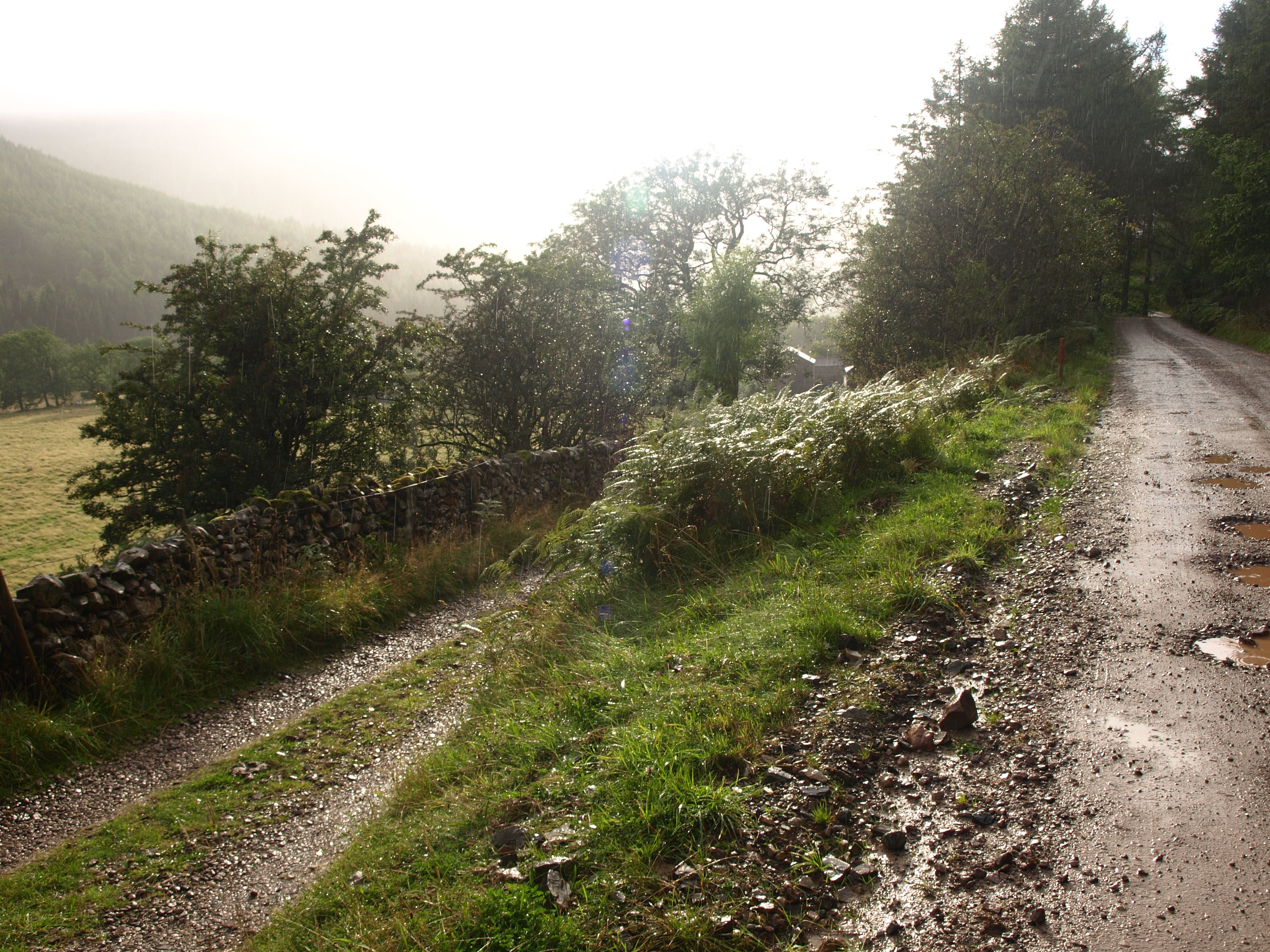
So I spent a couple of hours at the computer typing but there came a time when I had to move. Though only a short 7 mile walk it had to be done, whatever the weather conditions. I took my first, and only, photo of the day – which was of the hostel in the rain, packed everything in as water-proof a manner as possible, said my farewells, and left the building dressed ready to face the worse rain storms that the Lake District could throw at me.

Then the rain stopped!

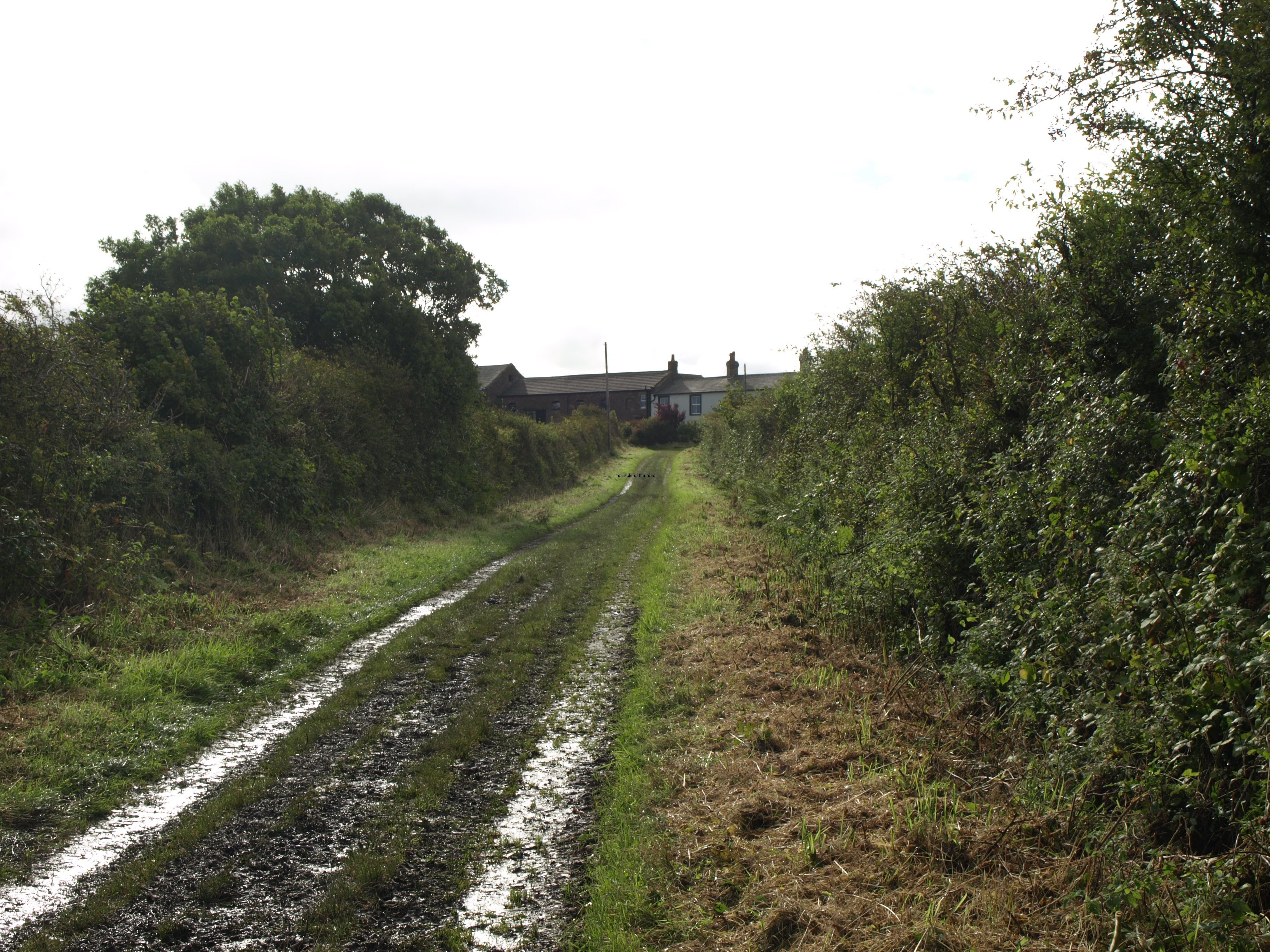
As soon as I got to the forest track – no more than 50m from the hostel – the rain stopped.

I couldn’t believe it!

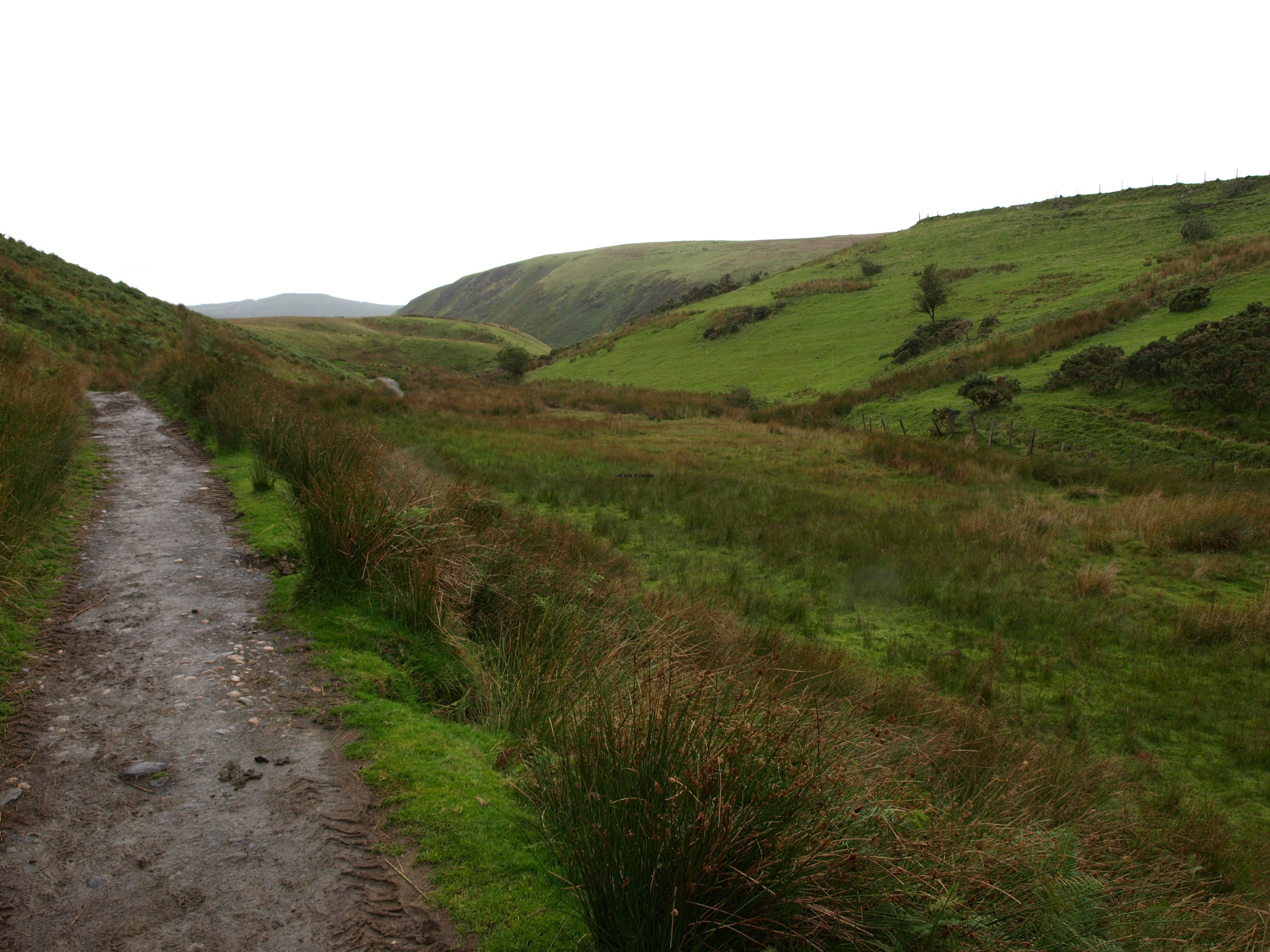
I spent the next hour walking along a more or less drivable track virtually poaching in my own heat. This was England, this was the Lake District, if it stopped raining and if the skies didn’t turn blue the chances were odds on that it would start to rain again, but it didn’t! So without a drop of water getting through my clothing I was soaked – or so I realised once I had reached the hostel at the end of the days walk.

The rain this day, that I thought was a curse, was actually beneficial in more ways than one. Firstly it had allowed me to catch up on the diary and secondly the late start had precluded any attempt at the high level walk – for reasons of time and also because even though it became clearer at the lower levels the tops were still in the mist.

But as I was walking, now sweating like a pig as the attempt to keep water out was keeping most of the moisture in, at a damascean moment I realised that going up to the high levels with what I was carrying and with the timetable I had decided was bordering on the imbecile.

On the route there are enough hills you MUST climb without looking for others. The distance itself is a challenge without trying to achieve as many as possible summits along the way. Perhaps such idiocy is reserved for the very young and the very old. Perhaps the rain of the morning of Thursday the 19th of September saved me from making a foolish decision – but I’m sure I’ll be making a few more mistakes before reaching the North Sea. I have to remember that I still have 191 miles to go!

Met up with another walker at the Black Sail YHA (undergoing a major renovation at the moment) and although he said during our conversations that he would have carried on if I had not turned up he was (self-admittedly) totally unprepared for the route. His daughter had turned back very early in the day due to a knee problem and had taken with her all the information they had about the walk. That might not have been much (again as he admitted) but without it he would have put himself in a potentially dangerous situation.

I’m not going to be over critical here as I’ve done such foolish things in the past – and lived to tell the tale – but this is not terrain you can treat with contempt, especially with the weather conditions prevailing on this September day. Yes, the rain had stopped but there was still low cloud and it could have come lower at any moment. Added to that once arriving at the plateau of Grey Knotts there was a viciously cold, bitter westerly wind. If you knew where you were going and could get out of it as soon as possible it wasn’t a real problem. But if you found yourself floundering in a wilderness it could easily have become a killer. We did pass a group of walkers on our way down but if he had been on his own and had taken a path away from them he might still be up there now, and in these conditions forever.

I’m carrying a GPS and have vowed not to depend upon it for route finding (if at all possible) but it is invaluable as a tool to confirm that you are where you think you are. That confidence boost is probably one of the most positive aspects of this recent satellite technology.

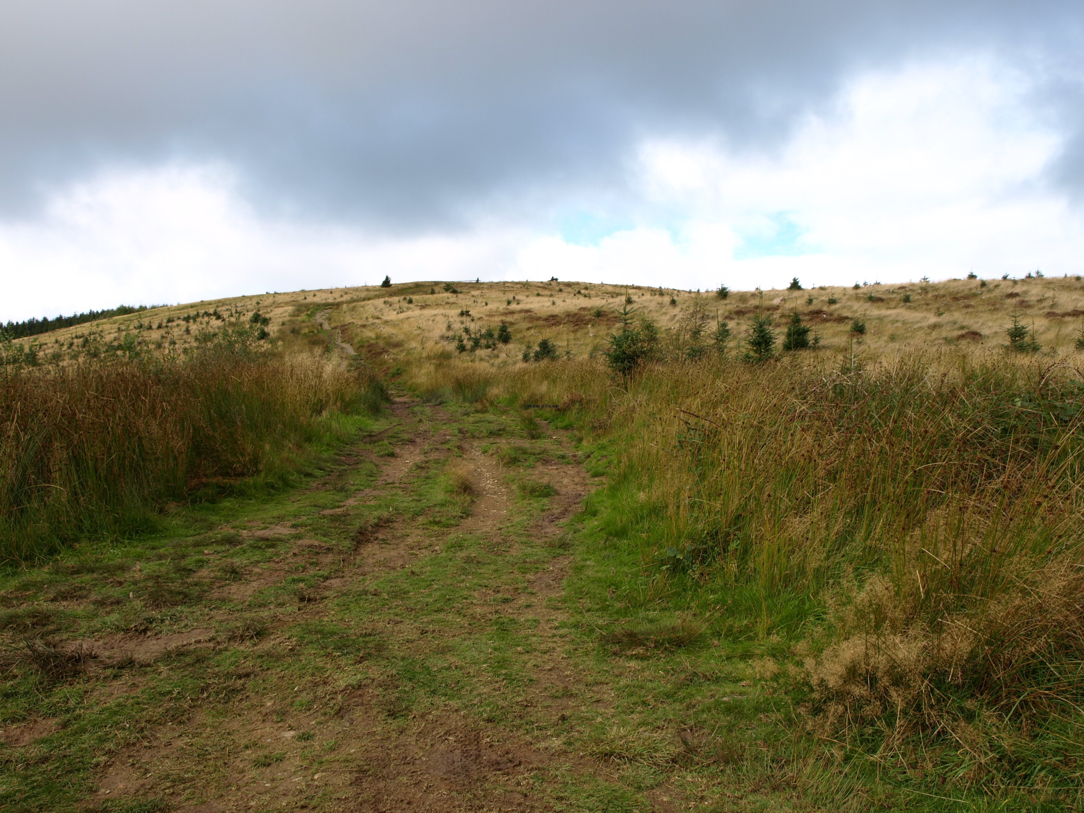
So today worked out OK, and very much better than I expected at 11.45. It was always going to be a relatively short day, with an interesting, though quite steep climb along a very well constructed ancient mule track. The weather was ‘kind’ in that I didn’t get rained on – although my shorts were soaking wet when I arrived at the hostel, even though not a drop of rain water had got close, it was all condensation. I’m thinking of inventing a water-proof skirt that can be worn over shorts to keep them dry whilst at the same time allowing a free flow of air.

And I only fell down once, less than a minute after meeting up with the other walker. It’s almost a rite of passage that when I meet up with someone I fall over.

Due to the policy of YHA to keep adults out of hostels when they had school groups (as is part of my diatribe above) I couldn’t stay at my preferred place overnight, which was the Borrowdale YHA (just over an hour further downhill from where I writing this now). The time I ‘wasted’ waiting for the Honister Hause YHA to open could have been usefully spent walking down into the valley, allowing for a shorter walk tomorrow. But that was not to be.

The forecast for tomorrow is supposed to be good and this time it’s not me who’s the optimist. After recent experience I’ll go against my nature and just take it as it comes.

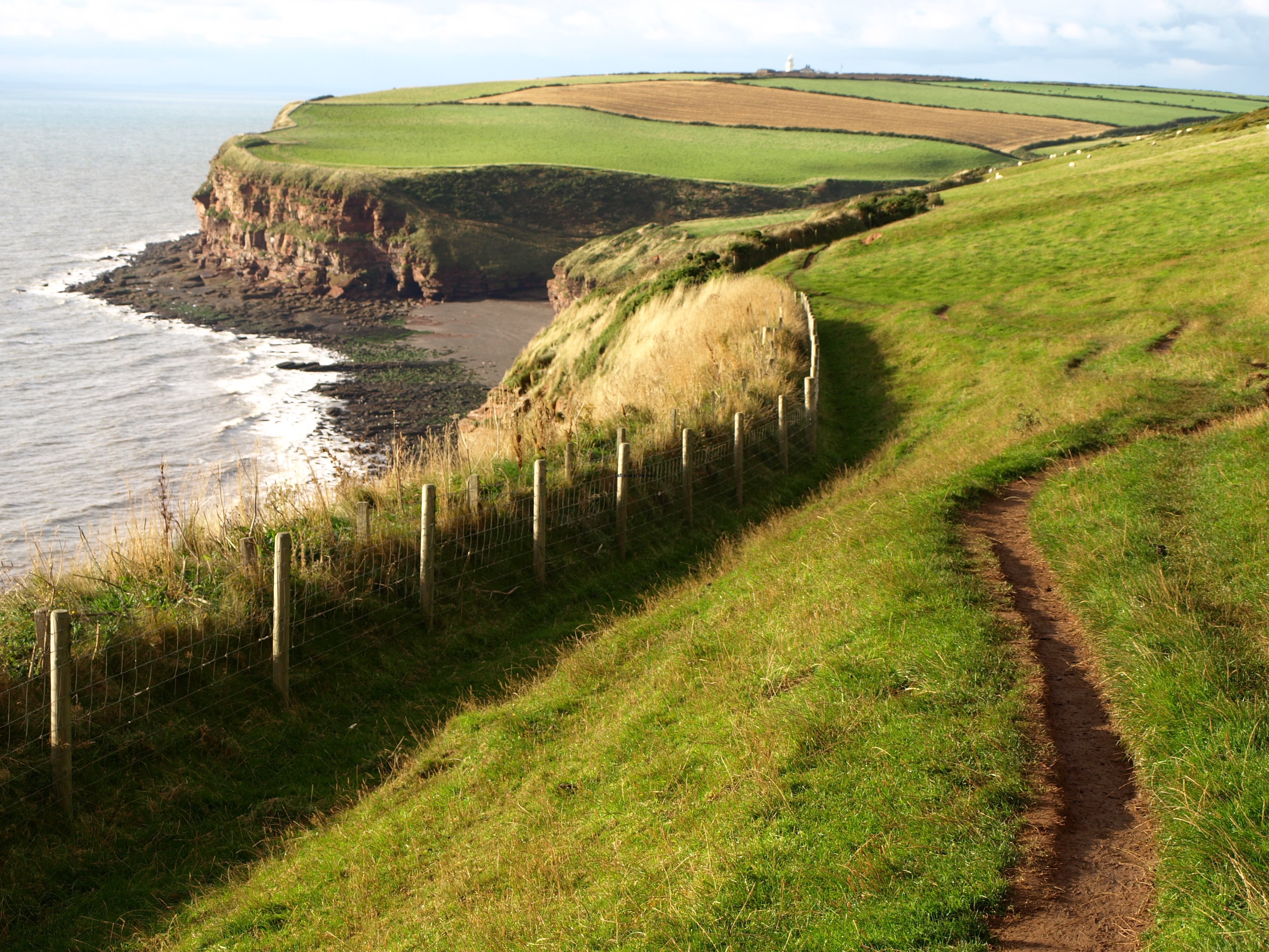
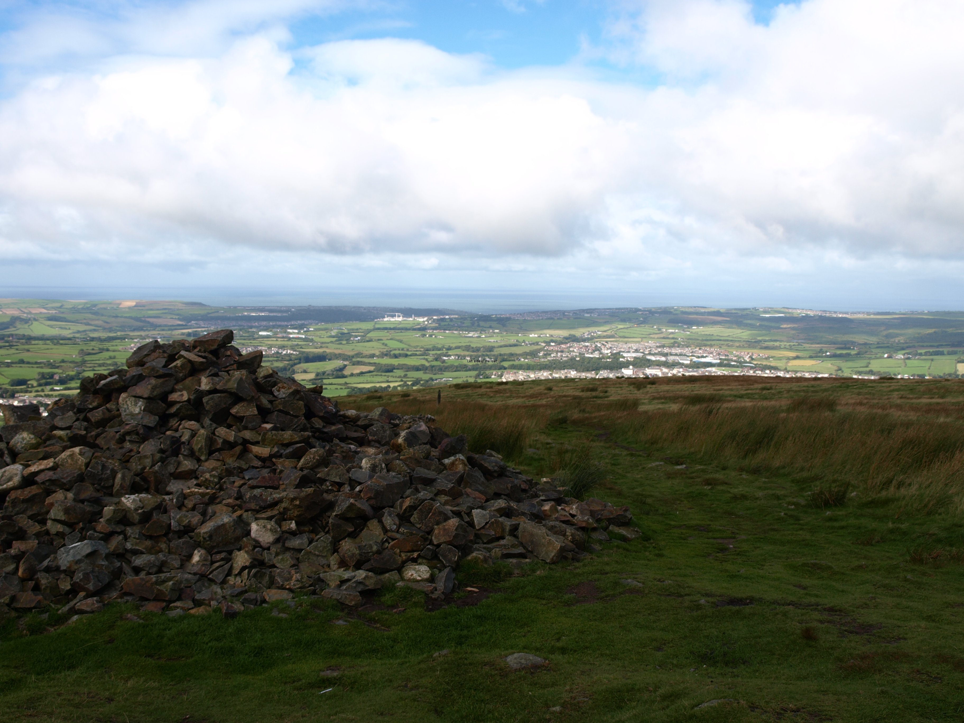
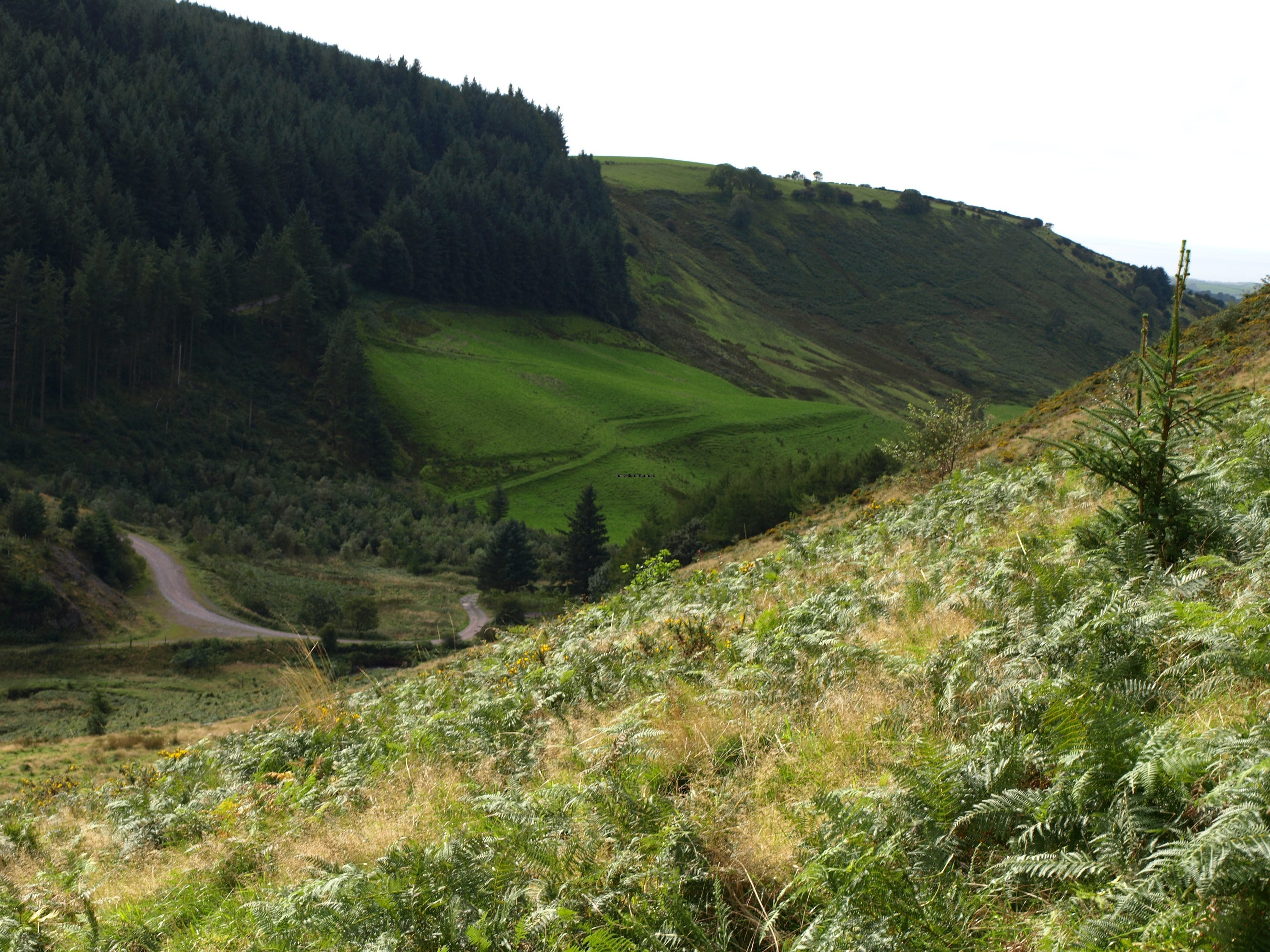
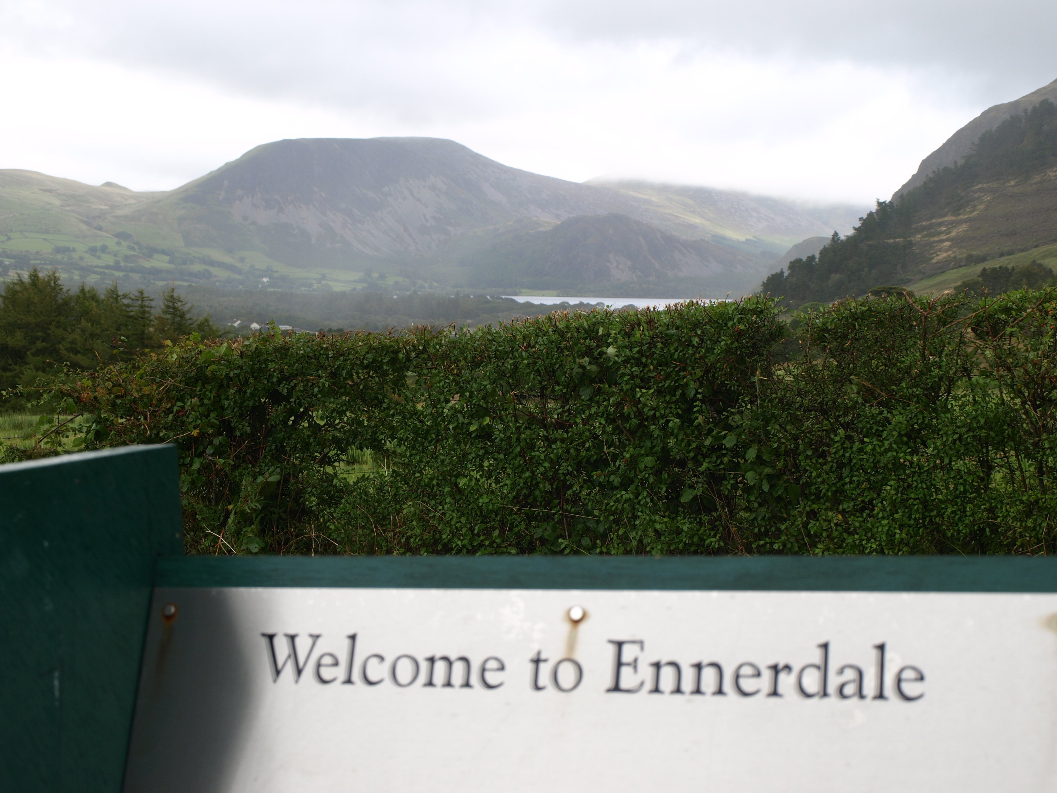
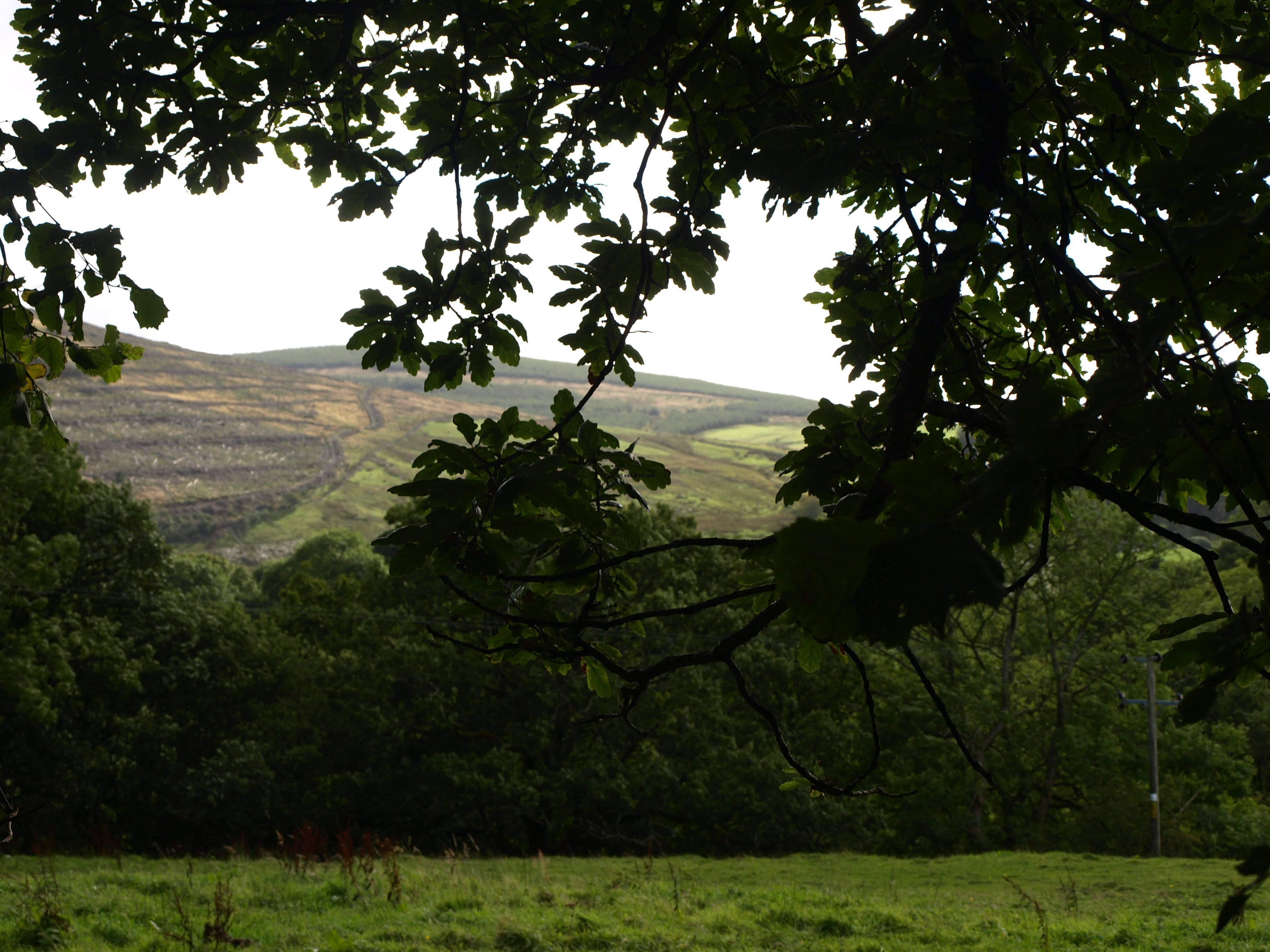
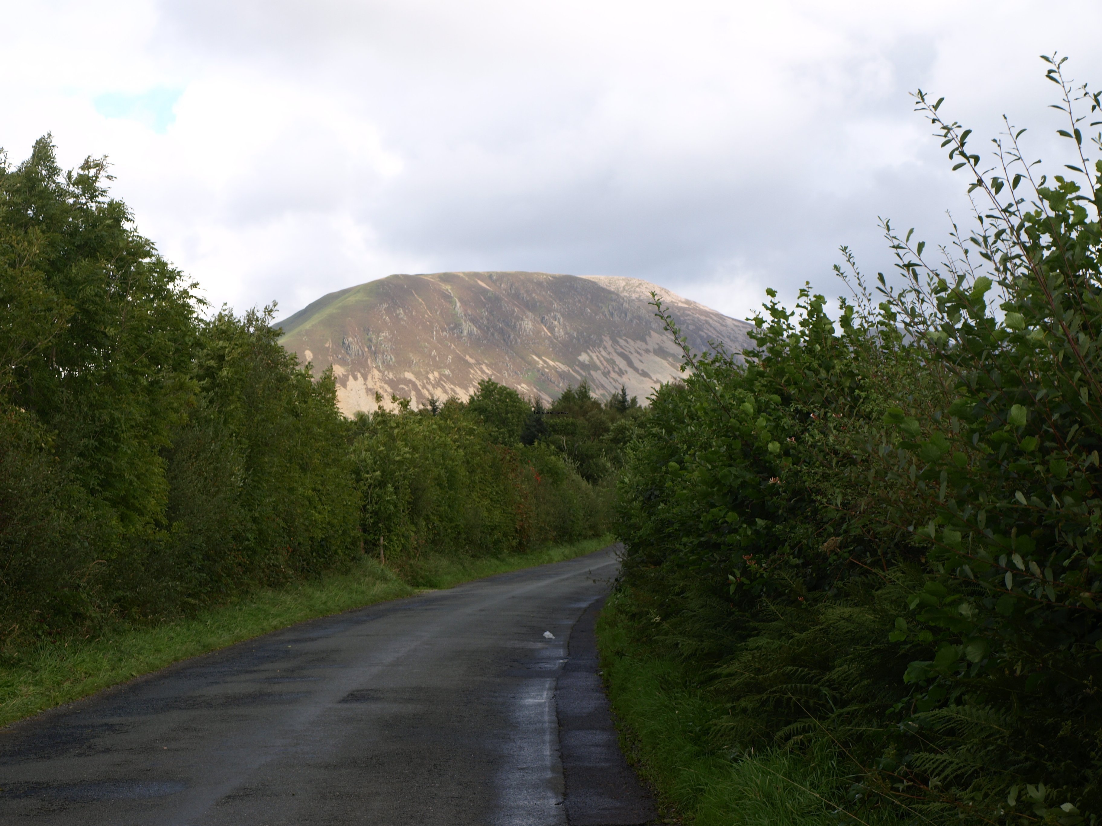
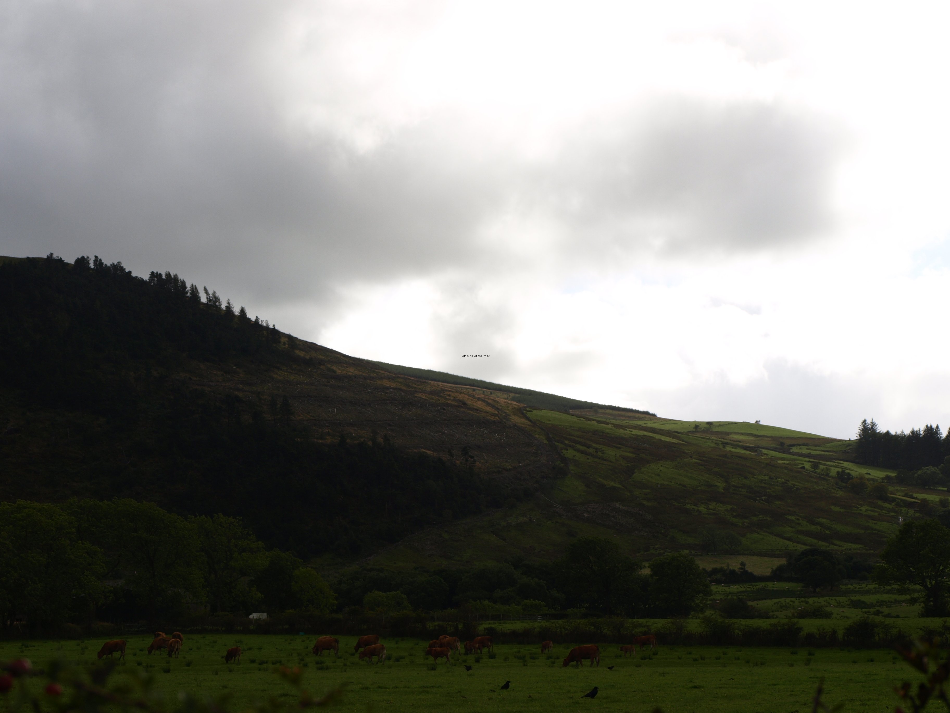
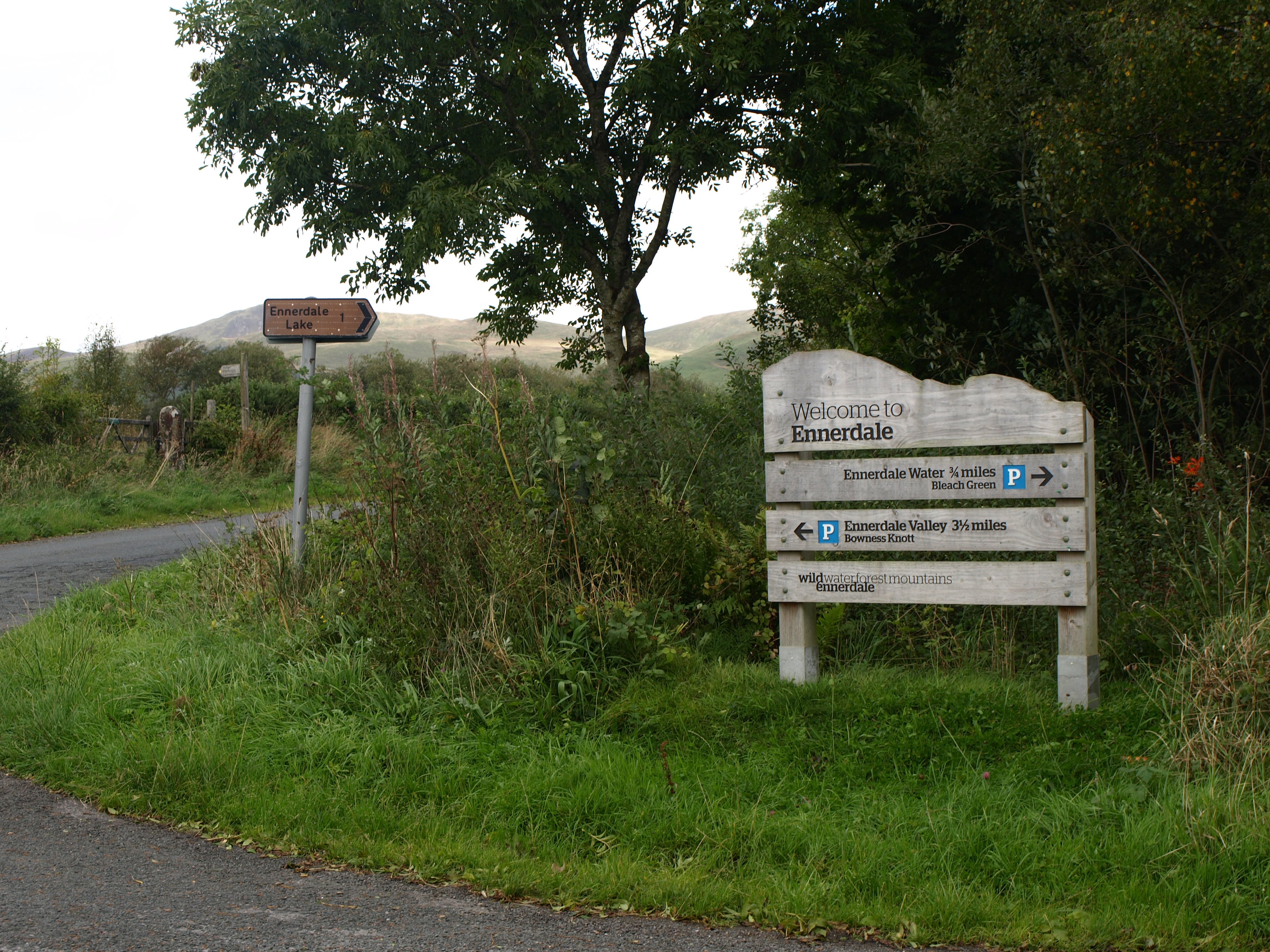
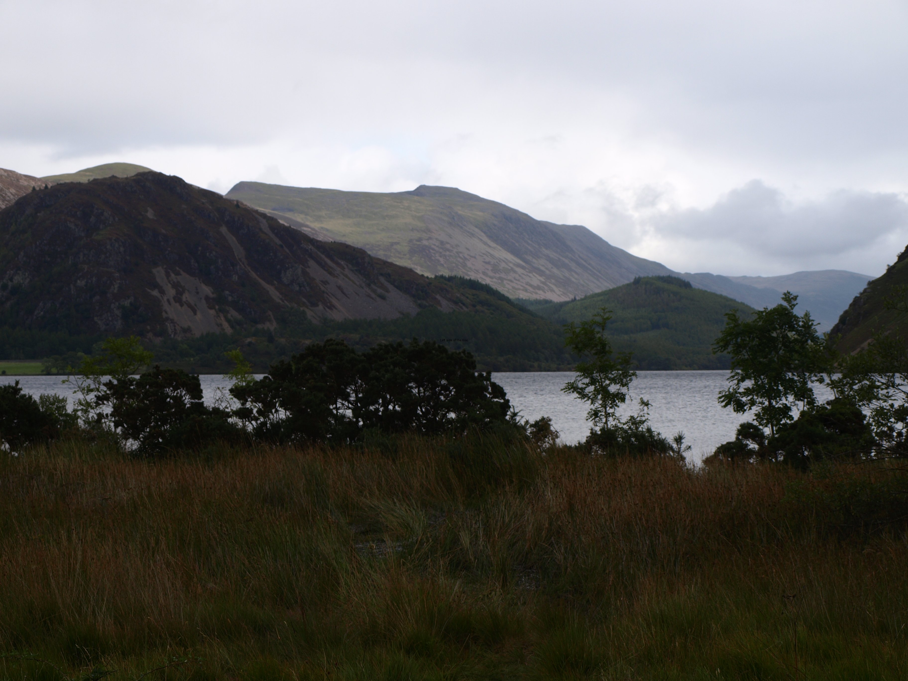
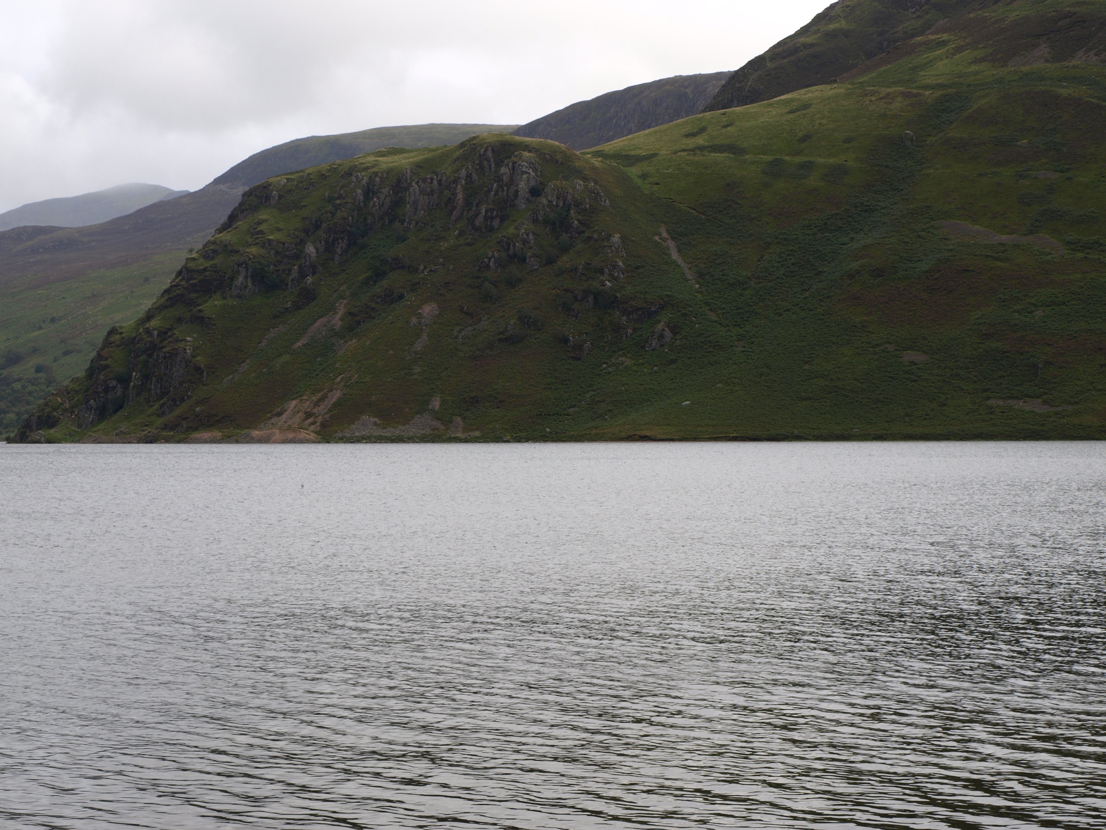
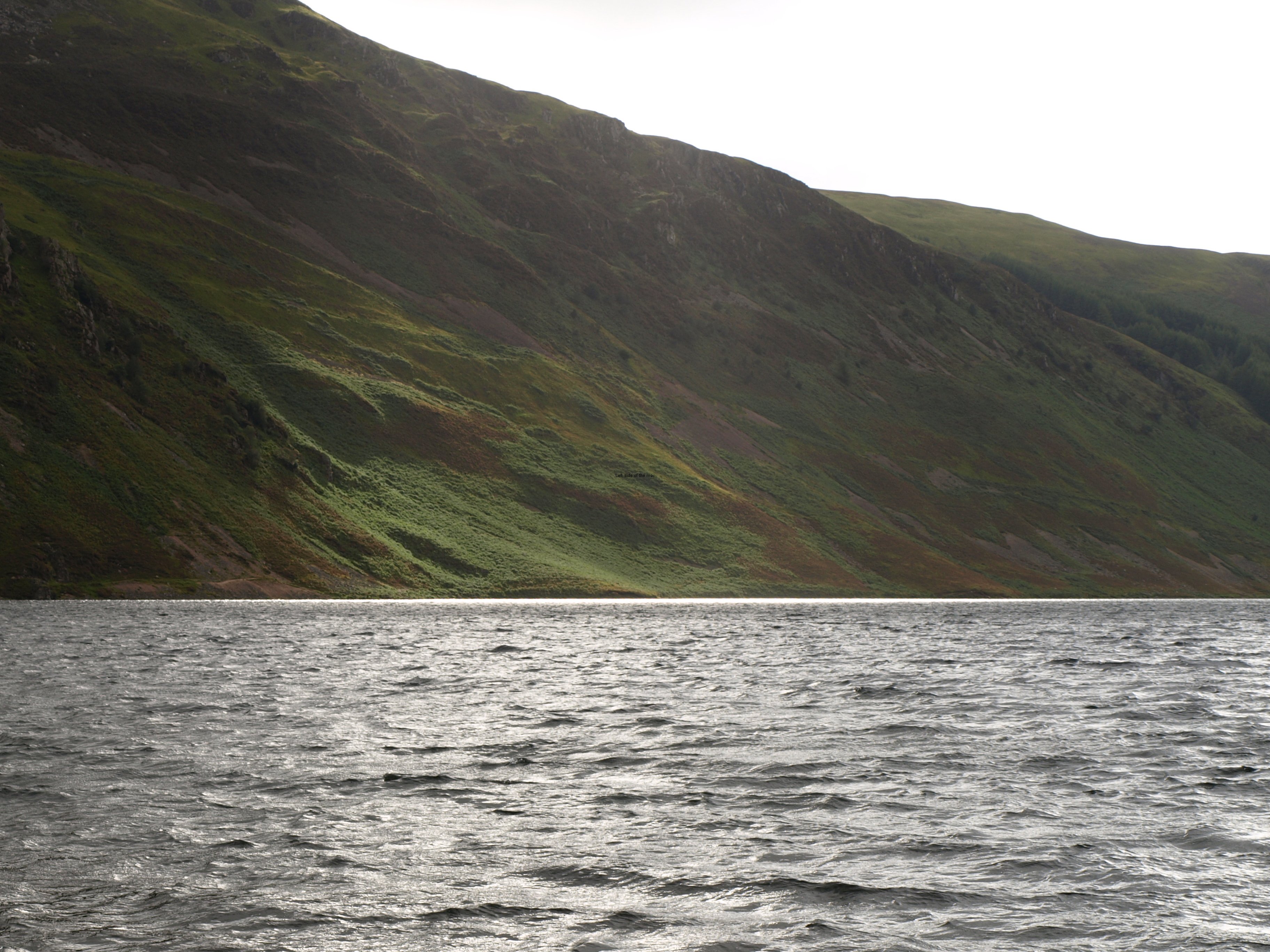
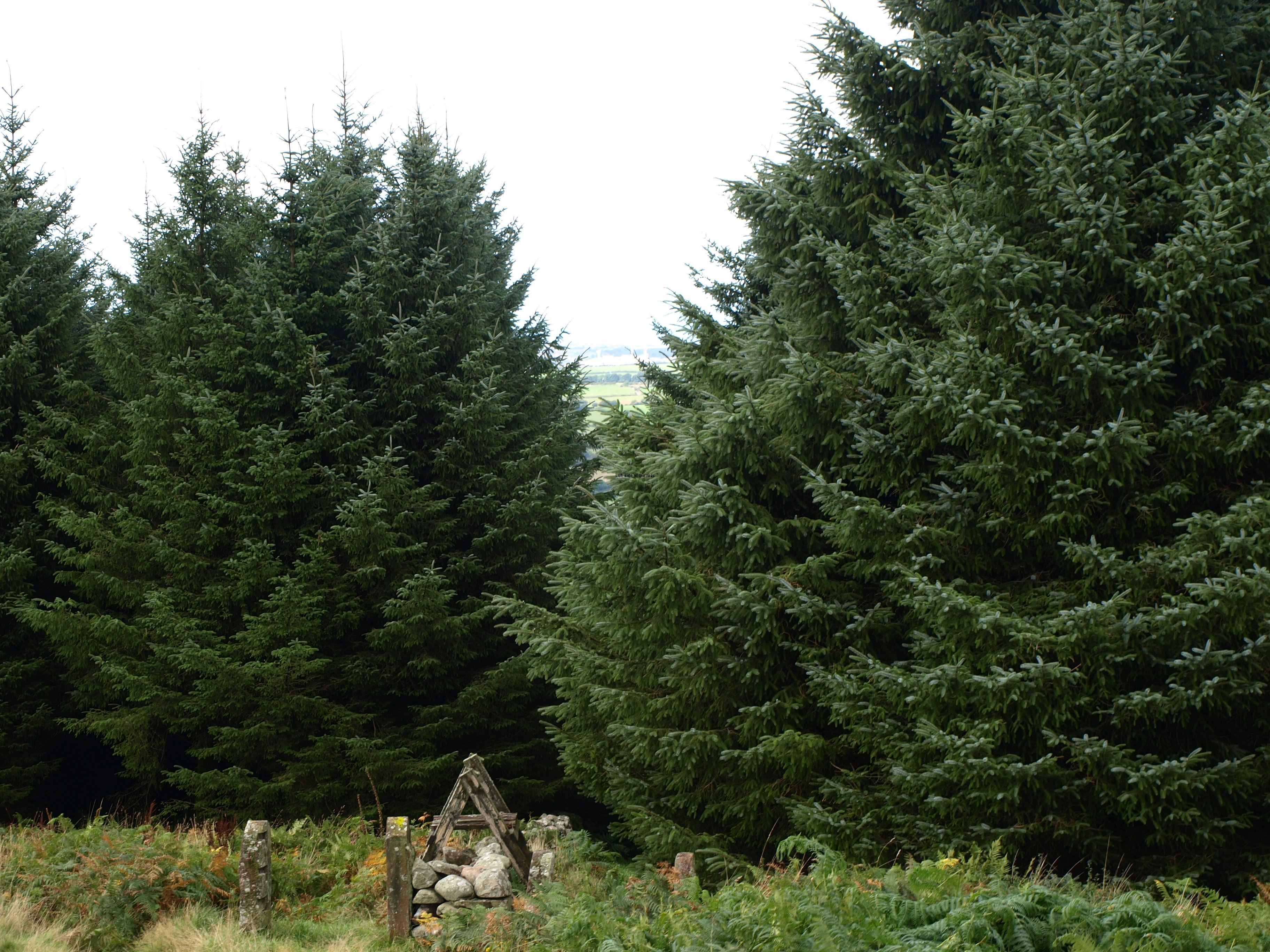
The weather was so uncertain that the only picture I took during the whole day was the one at the top of the Ennerdale YHA – taken to record where I stayed. That was a pity as if the weather had been decent there are good views over Wast Water and Scafell which looms above it.

So at 15.25 on the afternoon of Thursday 19th September it was 26 miles down, 174 to go.

Practical Information:

Accommodation

Honister Hause YHA

Closed from 11.00 in the morning until 17.00. This is a bit of a bind as although the porch is open it’s merely shelter from the elements and not particularly warm or comfortable. One of the problems since the Youth Hostels started to provide alcohol and a small shop is that not all of them can secure these areas when no one is in attendance – this is the case at Honister Hause. The ‘honesty box’ might work in Ennerdale but I don’t know if the alcohol supplies would survive the visit of a group of Cockneys.

Does evening meals – see prices from previous posts. Bottles of Cumberland Ale a bit cheaper than the night before at £3.05.

More on Britain …

Previous     Next

Coast to Coast Walk – St Bees to Ennerdale YHA

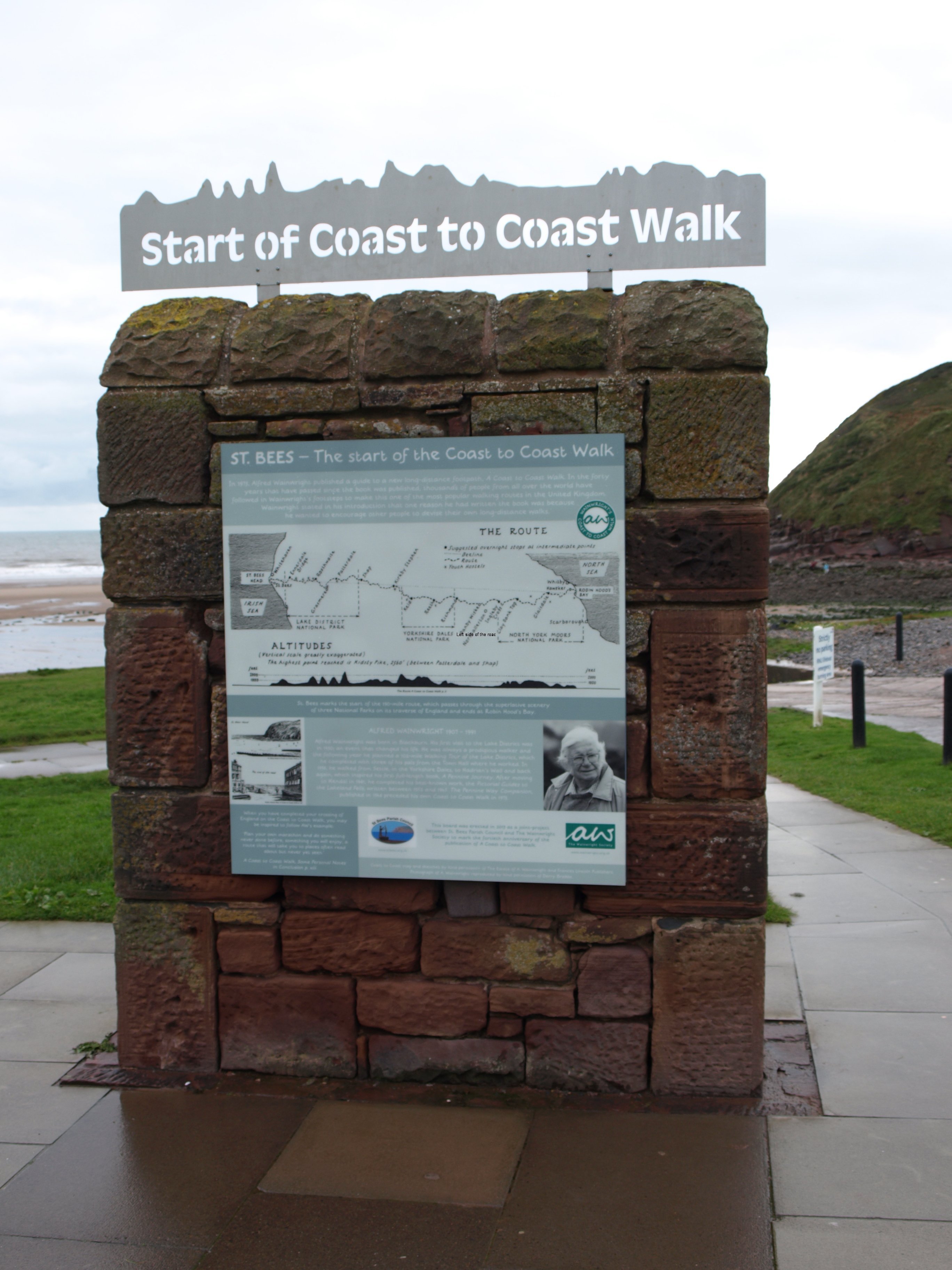
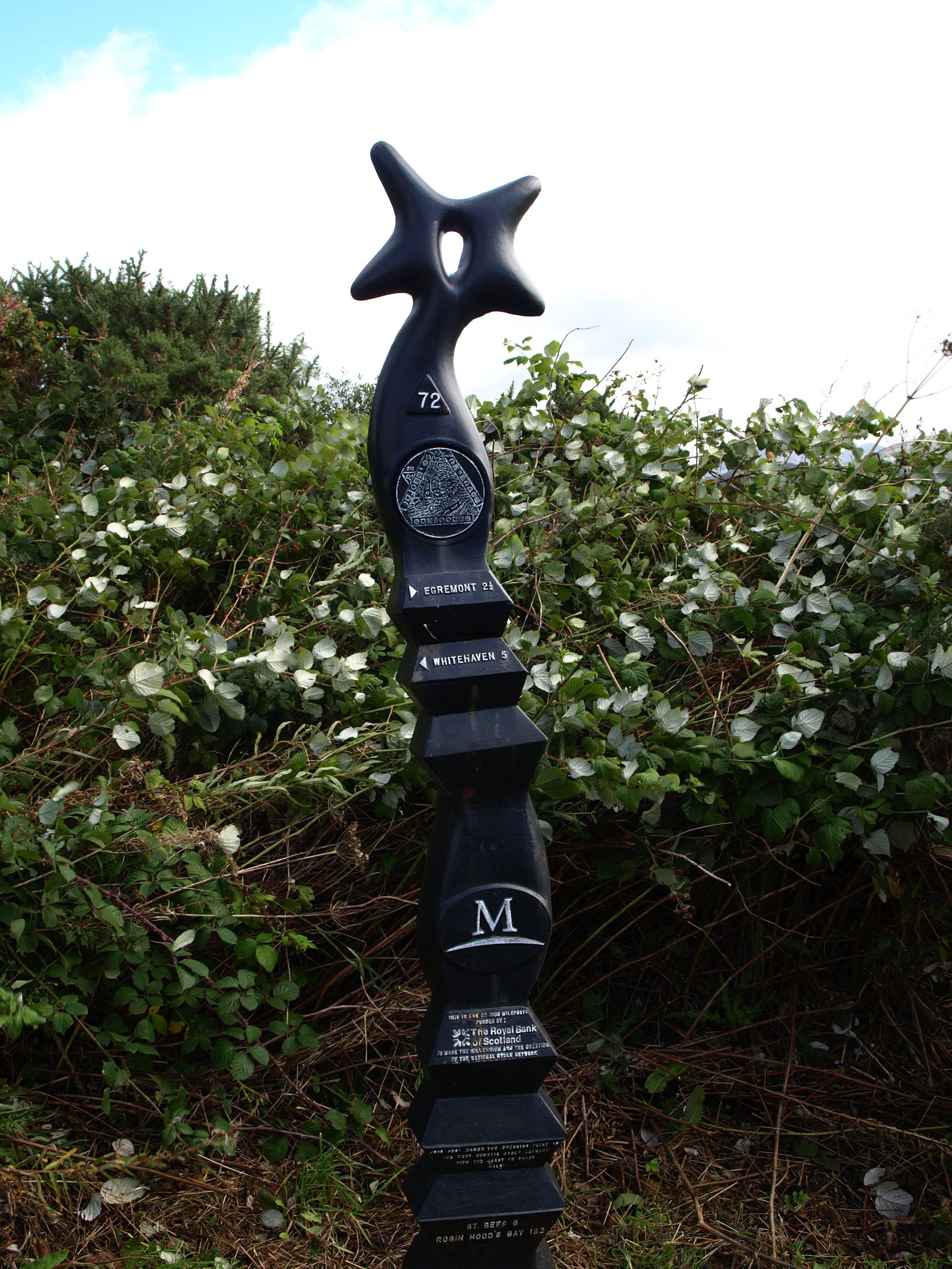
Mile Zero - Coast to Coast Walk - St Bees - Cumbria

Mile Zero – Coast to Coast Walk – St Bees – Cumbria

More on Britain …

Chapter One – St Bees Head to Ennerdale YHA

So, the walk proper.

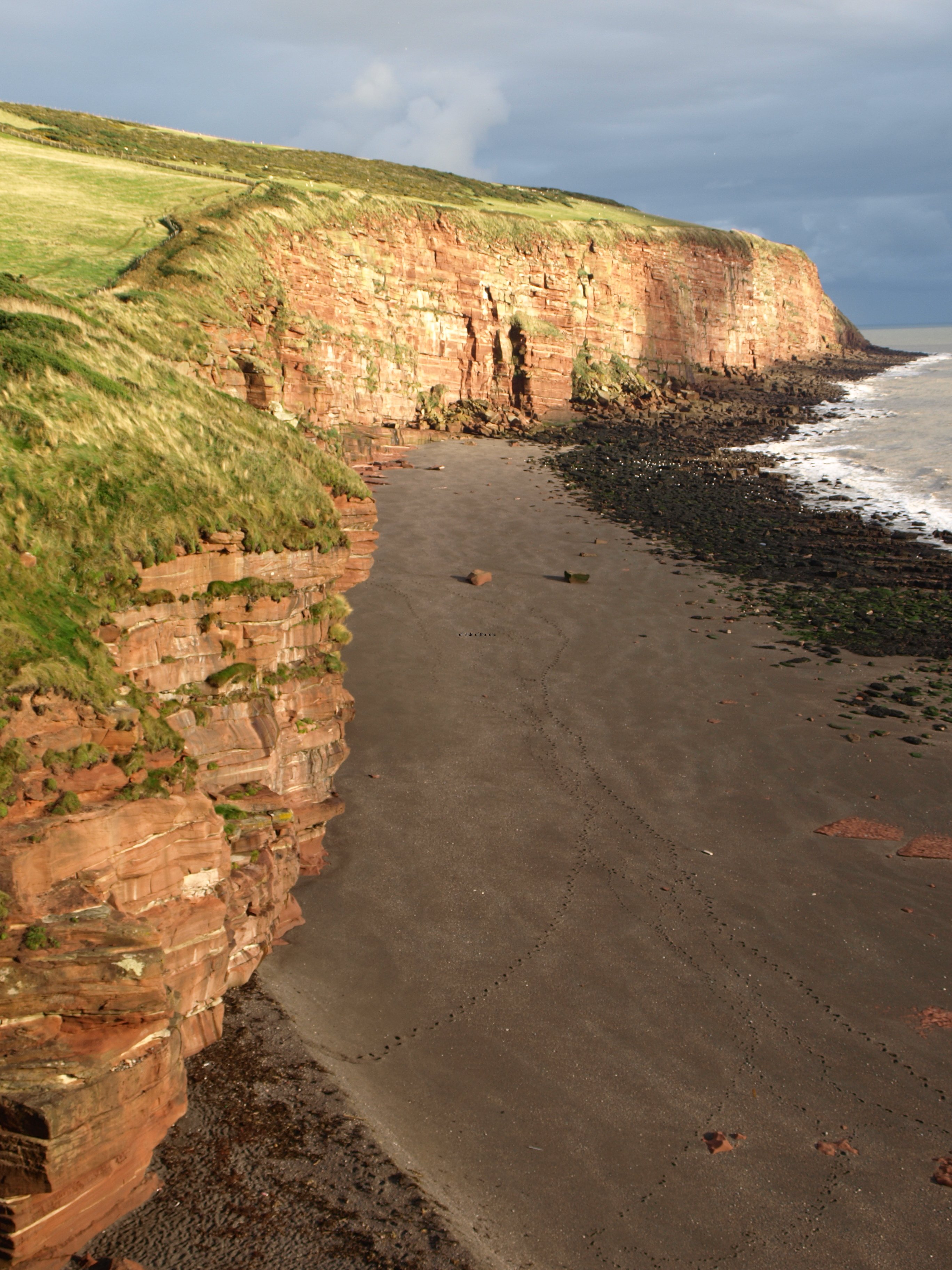
As I’ve already said the first 5 mile stretch, which starts off at the official Coast to Coast Mile Zero marker at the beach in St Bees, I did on the same day that I travelled from Liverpool. And I’m not the only one how has considered that. Many people, if they use the companies who will arrange both the transport and the accommodation or just individuals, do this if at all possible. I did so as the start of the walk is about half a mile from St Bees village itself and it’s good to get into the walk when you don’t have a heavy rucksack to carry. You can do the 5 miles relatively quickly and then there’s a slightly less than 2 mile walk (mostly) downhill to St Bees afterwards. You could try to hitch but there’s not a great deal of traffic on this very quiet country road.

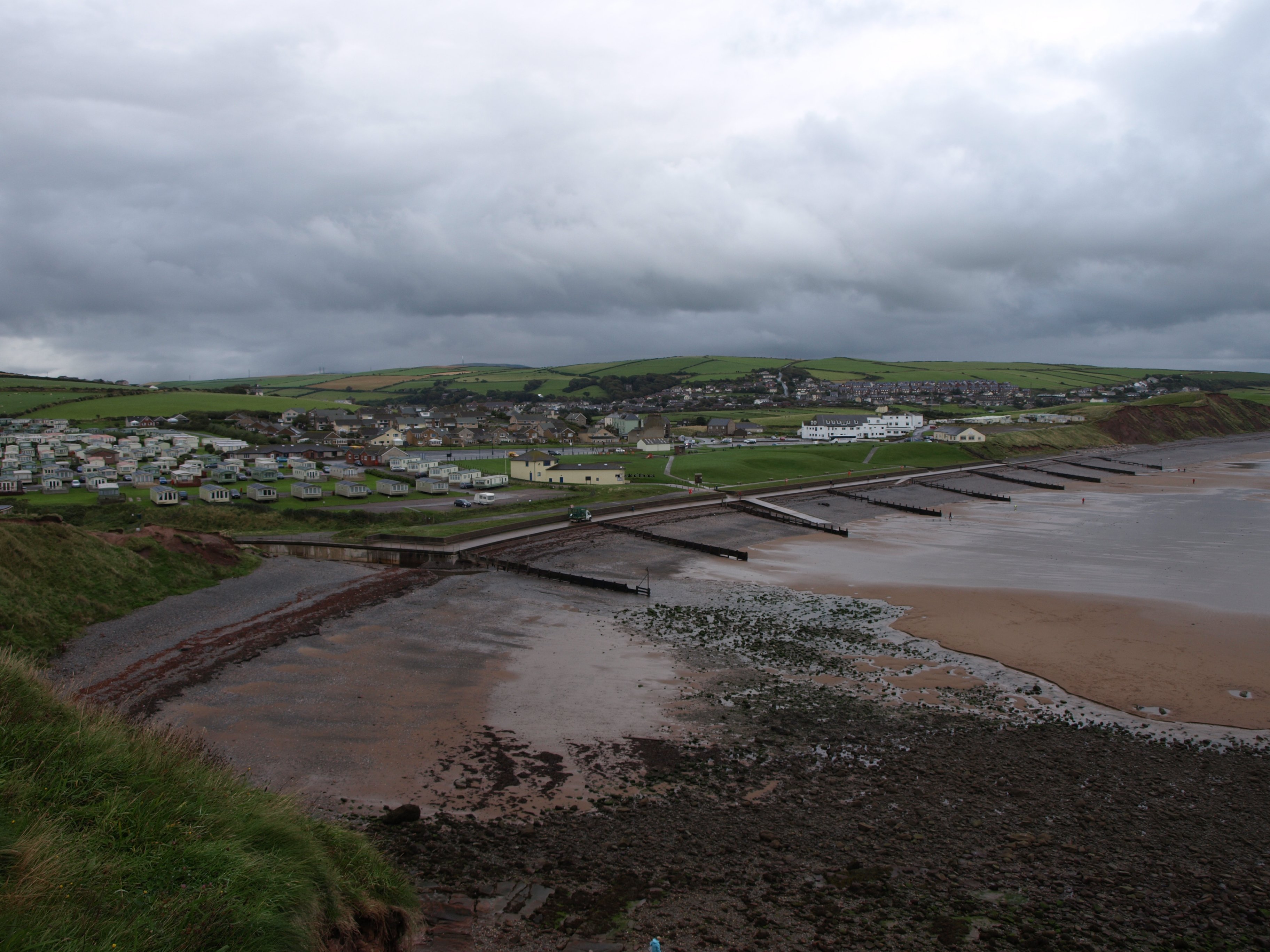
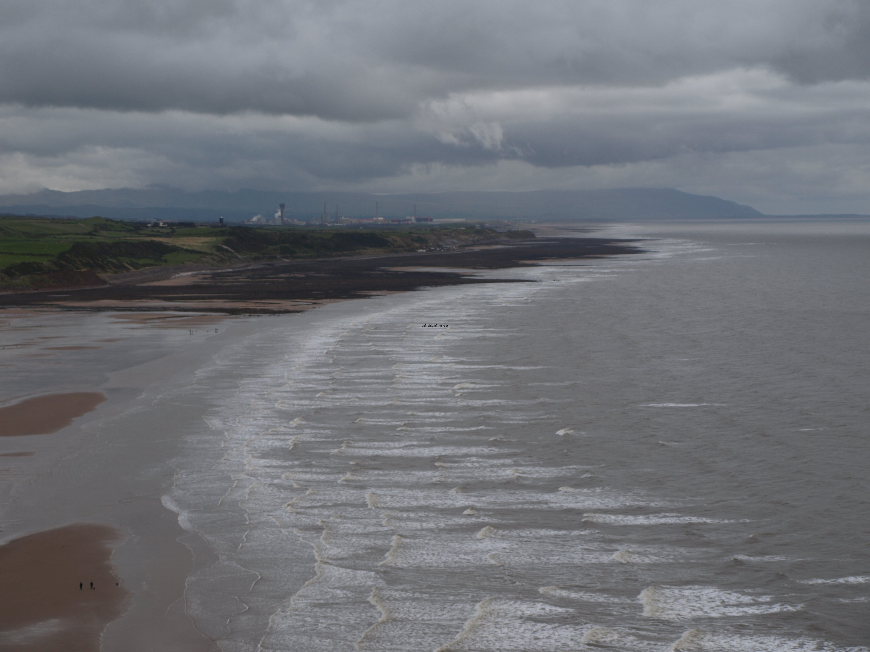
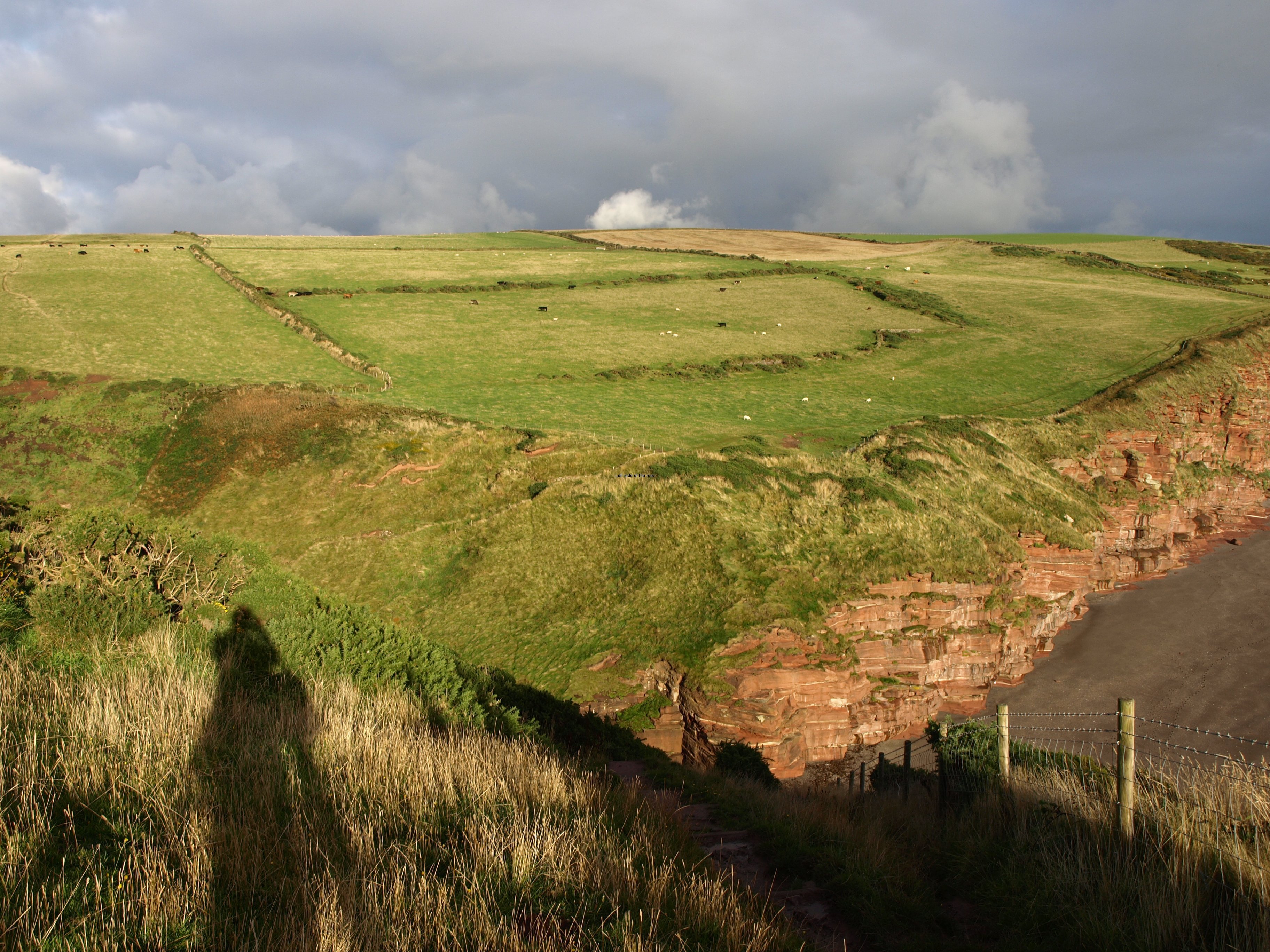
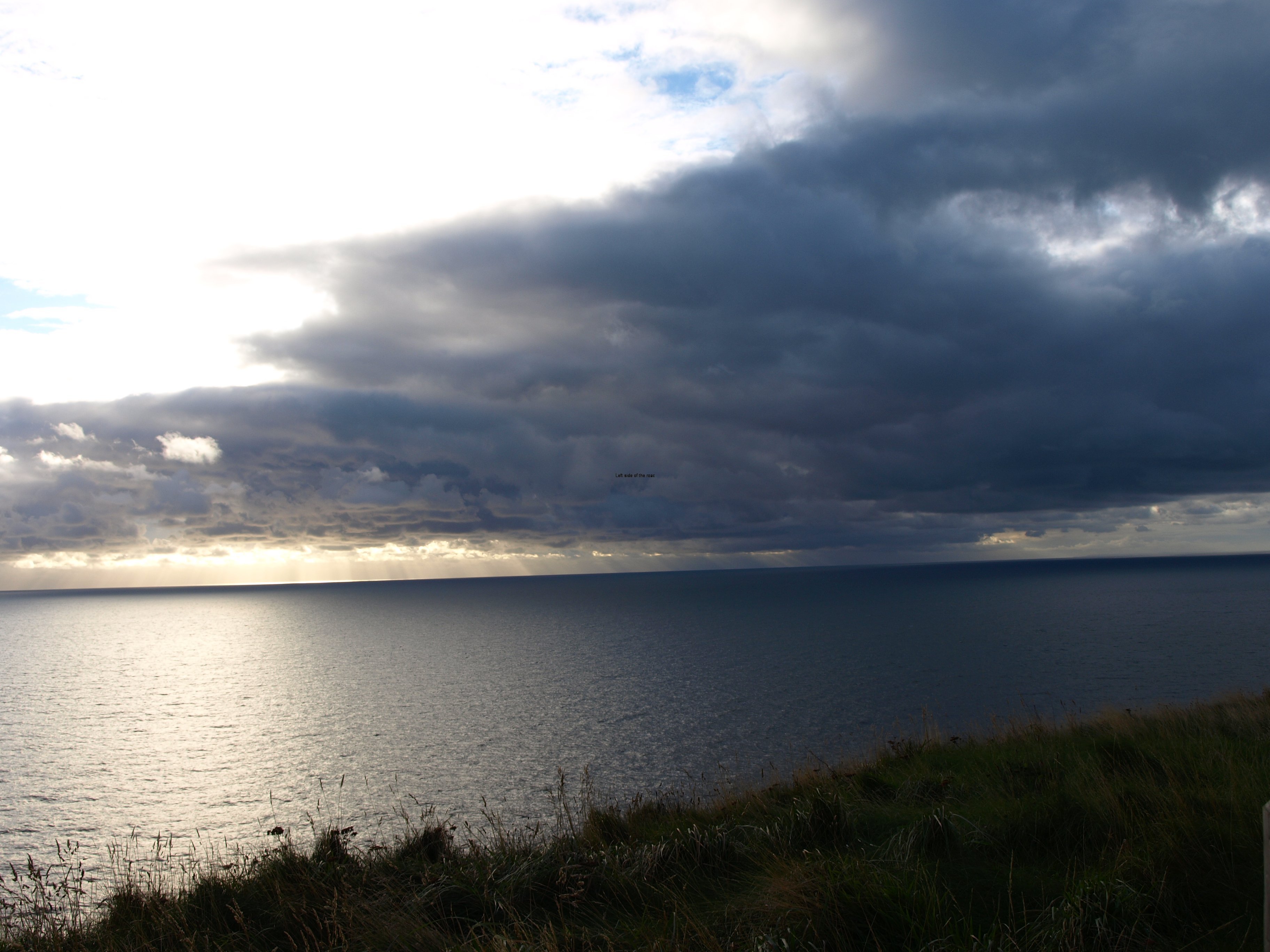
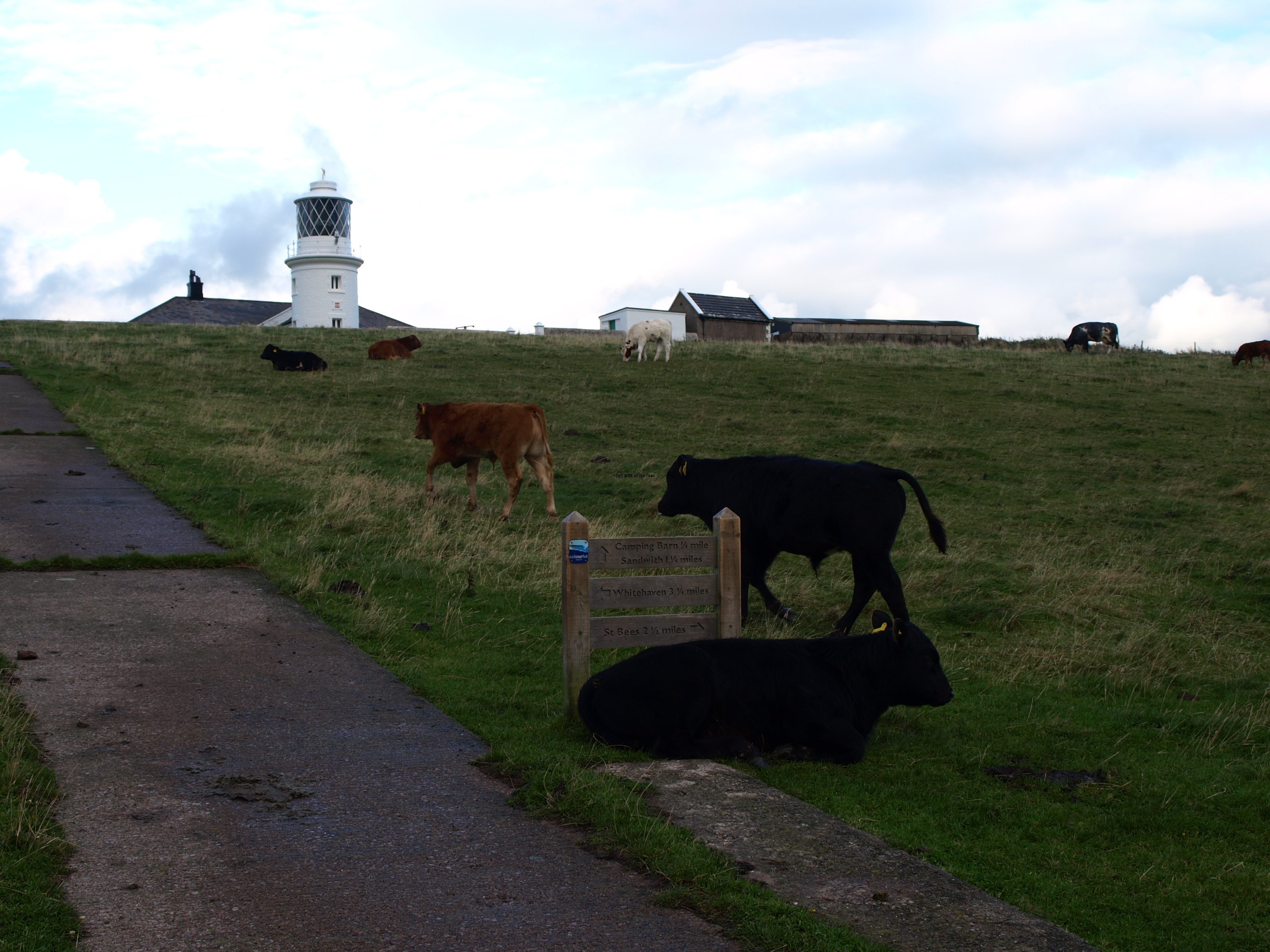
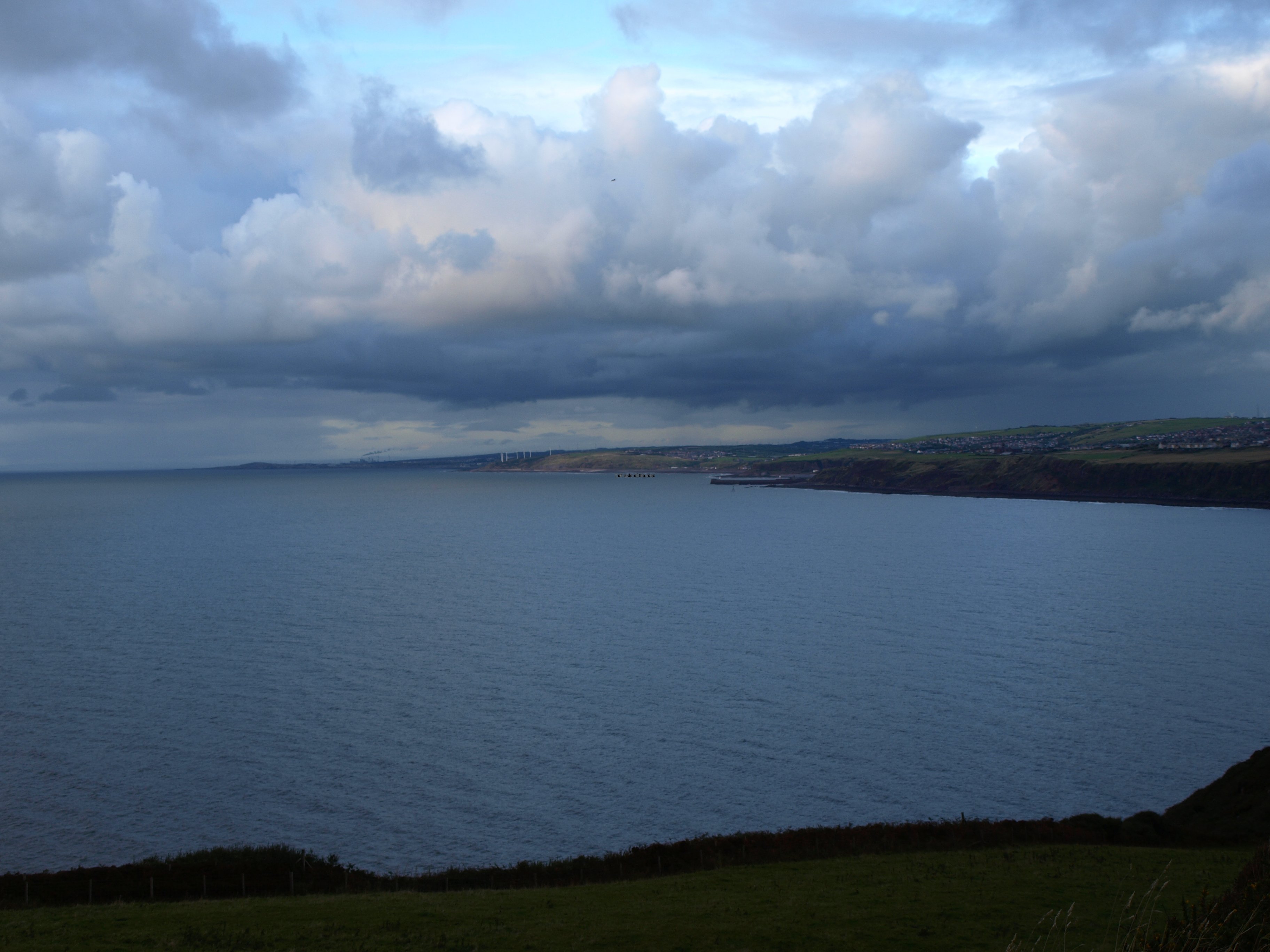
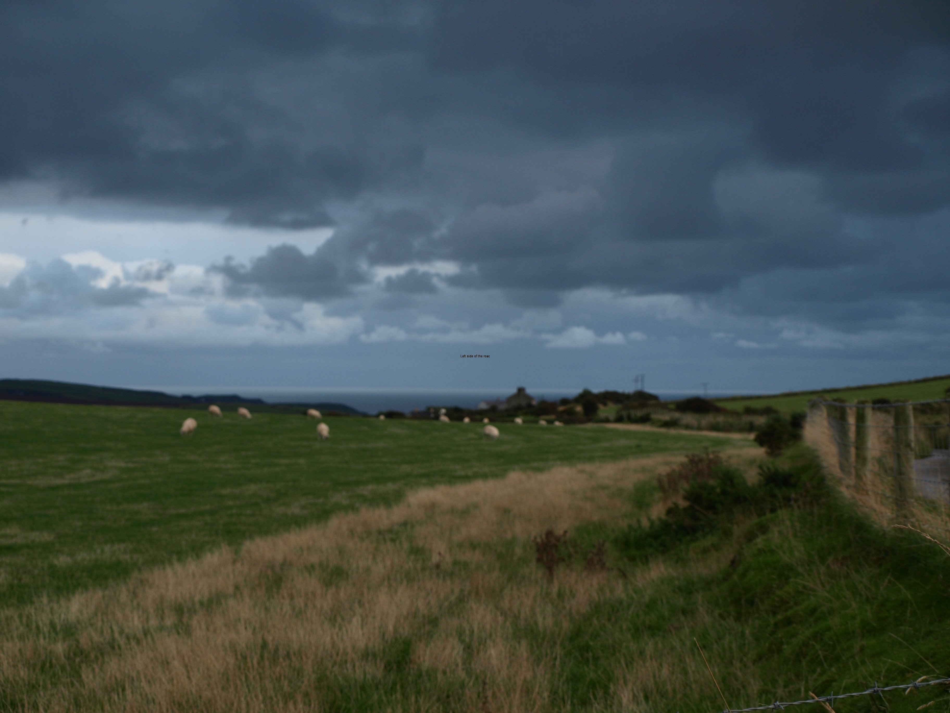
St Bees Head in the sun!

St Bees Head in the sun!

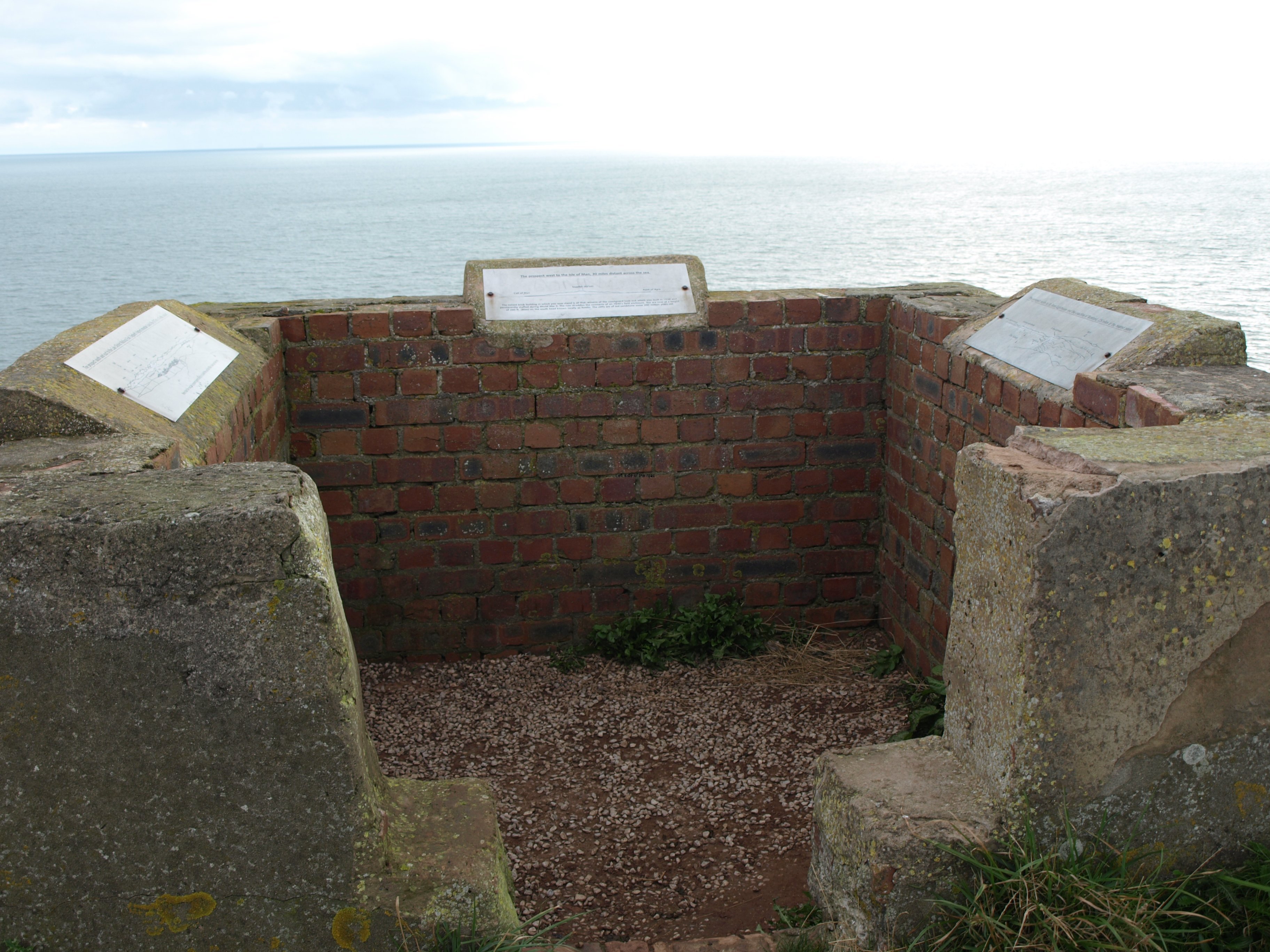
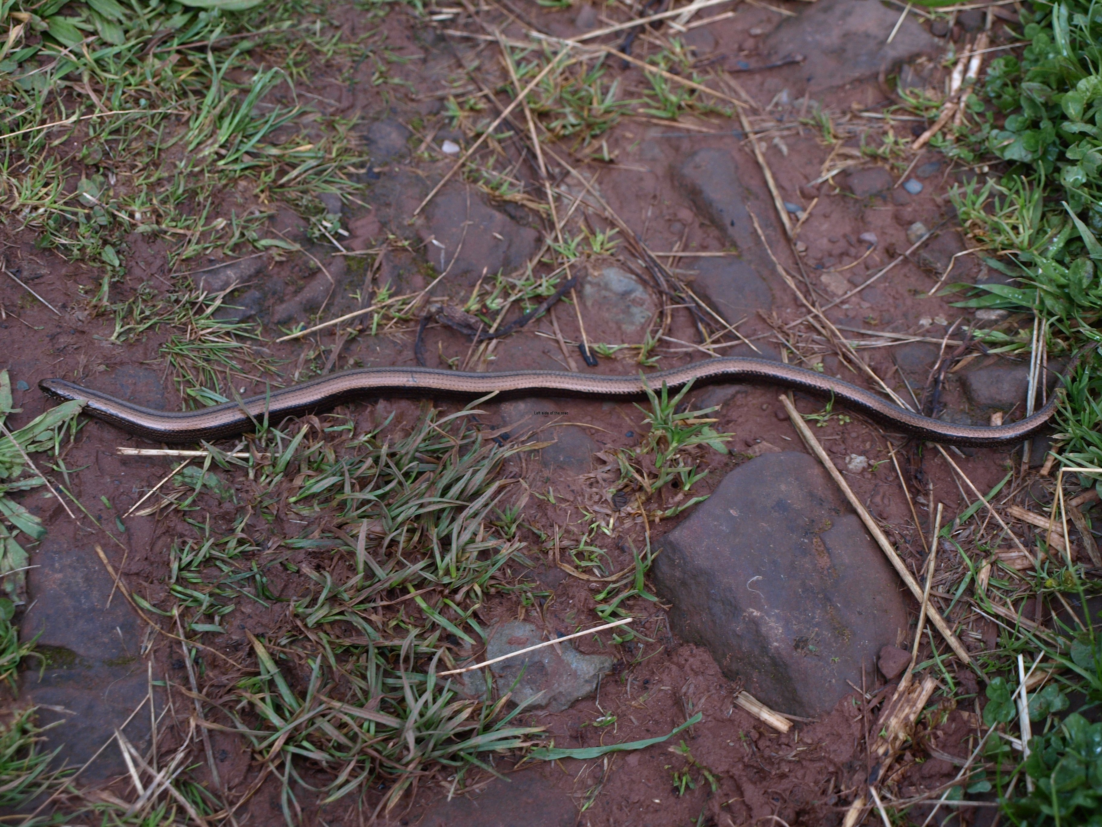
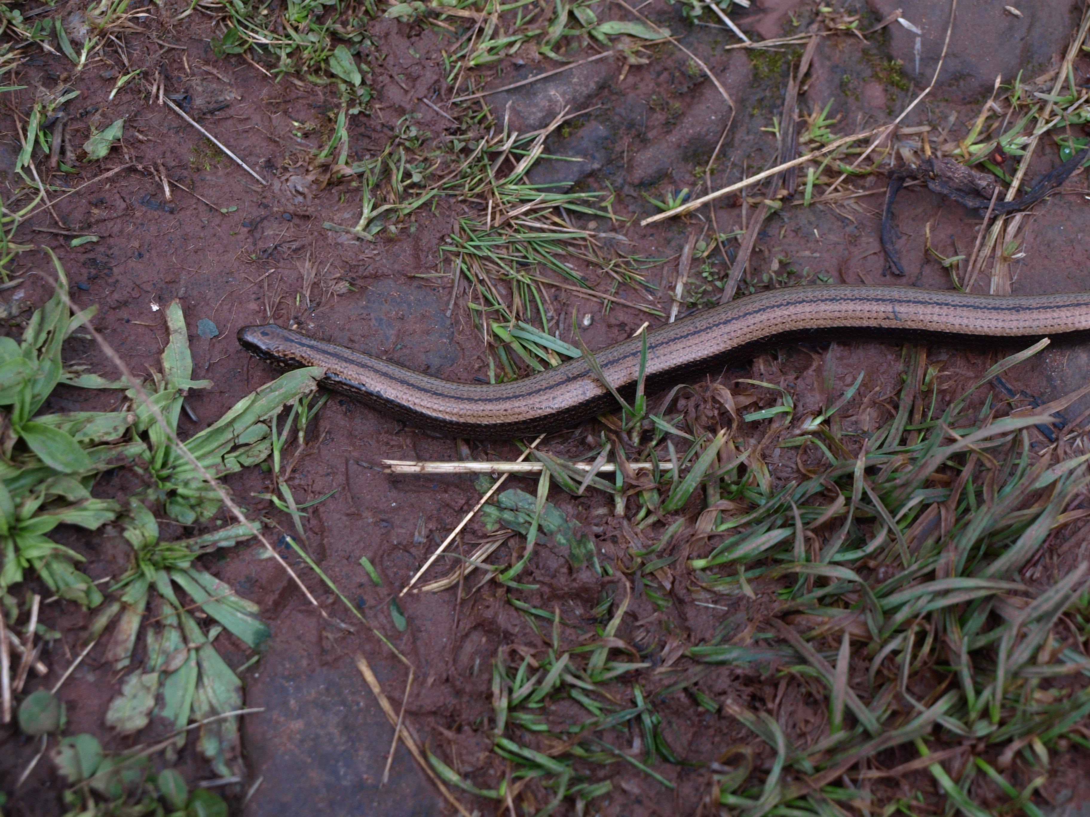
You start off with a relatively steep ascent to follow a path that then goes along the edge of the cliffs – though not particularly dangerous in the vast majority of cases but with a few areas where care needs to be taken. The path is very well-marked but after all the rain we have had in the recent past quite muddy in places, although outside of sheltered areas from the wind the mud was drying quite quickly. And on that afternoon I had: about 30-45 minutes of warm sunshine; saw some rabbits; and just avoided stepping on a slow worm. But as I said earlier the most important aspect of doing this short walk in the late afternoon was psychological. The first steps were made as soon as possible. (I hope I’m not sounding too negative here. I’m looking forward to the walk and the challenge but this is England and the weather is what makes for uncertainty.

Slow worm on St Bees cliff path

Slow worm on St Bees cliff path

So at 7 o’clock on the evening of 17th September it was 5 miles down, 195 to go.

What I also come to quickly realise, as I had thought, was that starting these long distance walks in the middle of the week normally means fewer people competing for the limited accommodation, and that benefit stays with you as you progress.

What this little walk enabled me to do was test the veracity of the information in the book I’m using. Although there was little chance of going wrong there were enough little indicators to show that the author has done a good job. (The guide book I used was the ‘Coast to Coast Path’ by Henry Stedman, 5th Edition, Trailblazer publications, 2012.)

Leaving the pub at about 10.30 the night before there was a clear sky and the almost full moon, so things were starting to look up weather wise. Also had been modest in beer consumption, something I want to keep to, perhaps apart from the free day or the night before.

The next morning, Wednesday 18th September, I was unpleasantly surprised to find that it had rained over night, seeming to contradict the indications of the night before. At the breakfast table things got worse as, looking out the window, there was a slight drizzle. But even worse were the images on the tele, which is always on in B+B breakfast rooms. Not having had a television at home for the whole of this millennium there are many names to which I cannot put a face. Since the Tories (and the ersatz Tories, the Liberals) became out ‘leaders’ I wouldn’t recognise most of the ministers if they entered the room. Now I was assaulted by a procession of Tory ministers spouting their lies and inconsistencies. The fact that they are our ‘leaders’ says more about the electorate than the elected as these smug, rich, public school educated, privileged, chinless wonders made their arguments that we must maintain austerity and that ‘we are all in this together.’

Once I was through that unpleasant interlude I started on the walk proper. The plan was that having done the first stretch along the cliff edge all I needed to do was to catch the local bus back up to the small village of Sandwith (pronounced ‘Sanith’) – up being the operative word – it was all right coming down carrying nothing, it would be a different matter going back up with a full pack. The local bus was due to leave at 09.14, which made matters very convenient as I would be under way by 09.30. But the bus didn’t turn up! And as always in these situations where the vast majority of the population, even of small villages don’t use public transport, when I asked the locals if they knew what had happened they could throw no light on the matter as if it hadn’t happened before. Fortunately for me when I asked at the B+B they offered a lift and so, even now 15 minutes later than planned/expected I started to head east.

With the sunshine!

Sandwith in the sun on the first full day

Sandwith in the sun on the first full day

As I had been waiting for the bus the weather was improving. Still a little cool in the shade but with an increasing amount of blue sky. This seemed to be following the TV weather forecast that indicated that the weather would really turn into a true ‘Indian Summer’ by the end of the week. Were my fears of walking in the constant rain, the only difference being getting wet or totally soaked, groundless? Indicators were looking good. So it was a lot more enthusiasm as I made further steps towards the east.

But in many parts of the Lake District it can be wet at any time of the year and many fields along the way are permanently water-logged. Water logged fields means mud, lots of it, and sometime you can sink into it above your ankles. Although the parallel might be a bit extreme I always think of the novel ‘Under Fire’, written about the First World War by the French Communist Henri Barbusse. When people think about the trenches on the Western front they think of the horror of the bombardments and ‘going over the top’. One phrase that has stuck with me since I read the book many years is ‘hell is water’. And the mud that comes with it. And I know that mud is going to be a major factor on this route, even over the other side of the Pennines, whatever might be the weather above my head. OK, it’s a bit a step to compare walking across this tiny isle and being on the Western Front but I hope you get my idea.

And with water comes mud, and with mud comes slippery and with slippery comes falls. And I was quite pleased that by the end of the day the falls amounted to two, one without poles, one without.

The first one was due to lack of attention. I was thinking again about the bastard Tories who had assaulted my ears on the television over breakfast. It seems that Tories can do you harm if you merely think about them. Do you also know that the word ‘tory’ comes from the 17th century Irish word ‘tóraidhe’ meaning thief/brigand – so nothing has changed there.

The second one was when I was going down what is considered to be the steepest descent on the whole route, and that was when I was in the company of the two Canadians. For some reason I seem to fall over either when walking in the company of others or when walkers are coming in the opposite direction (as happened when I was up here earlier in the year for my trail run). It’s as if I christen out contact by bouncing off the ground.

I’ve become an advocate of poles, not just the one but two. I don’t think you really get the benefit with the one. With two you can pull yourself up hill, very much in the way that cross-country skiers get along, and used effectively going downhill can really protect the knees as well as preventing unplanned downward velocity. On this route there are lot of climbs and there are also a not inconsiderable number of steep descents, which play murder on the knees.

This first day was not that extreme. My total mileage amounted to about 16-17 (a little more than first anticipated as I took the longer northerly, and drier route around Ennerdale Lake – as in particularly wet conditions the ‘official’ long distance route along the south shore can be very wet and probably would have taken longer.

The main climb of the day was over Cleator Moor but that was made ‘easier’ by the fact that the sun was shining which took the bite out of the wind. As always the moor on the top was bleak, even in good weather and I wouldn’t have liked to have been there in low cloud, although it’s not long before you head back down to the river valley.

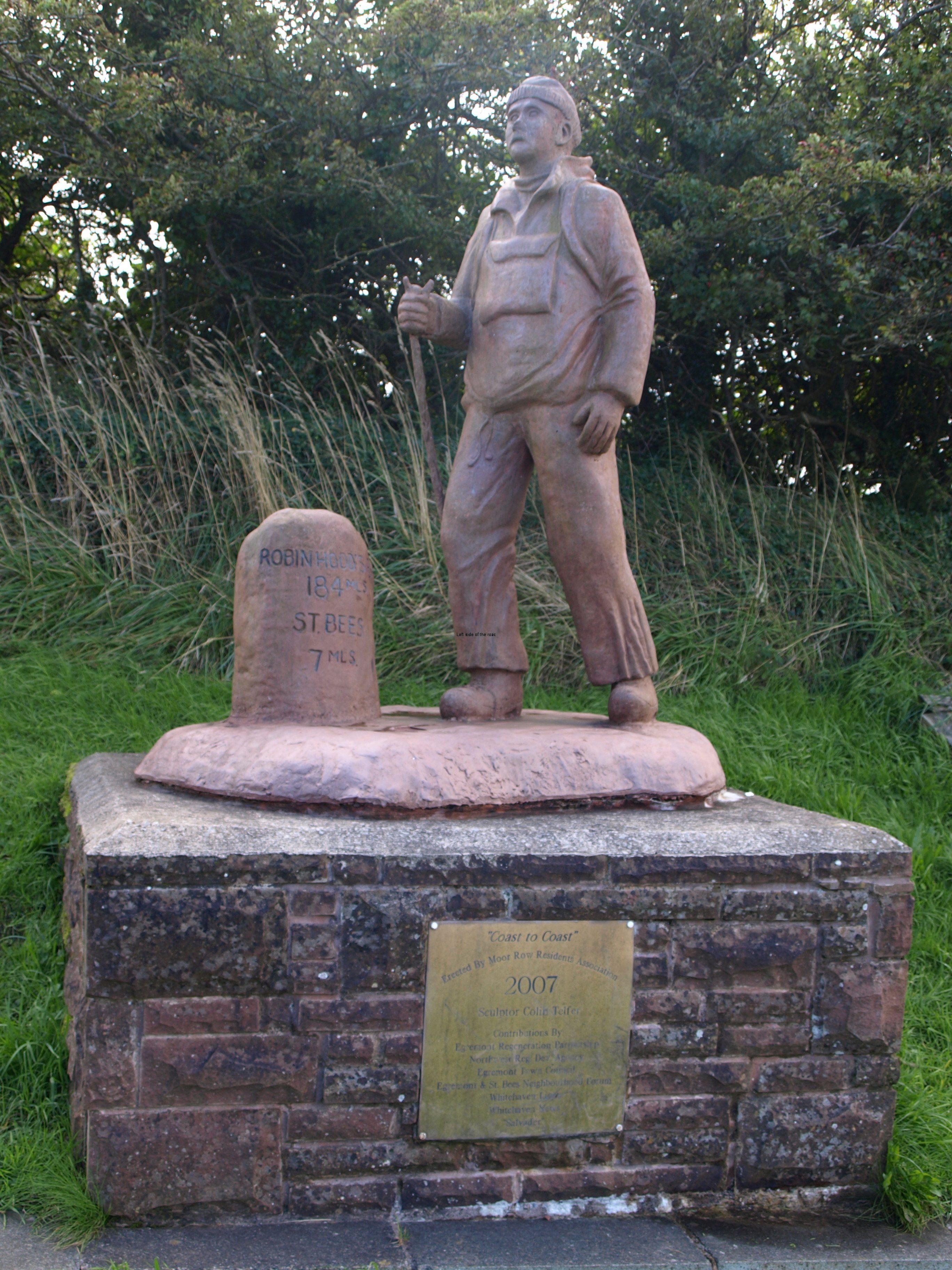
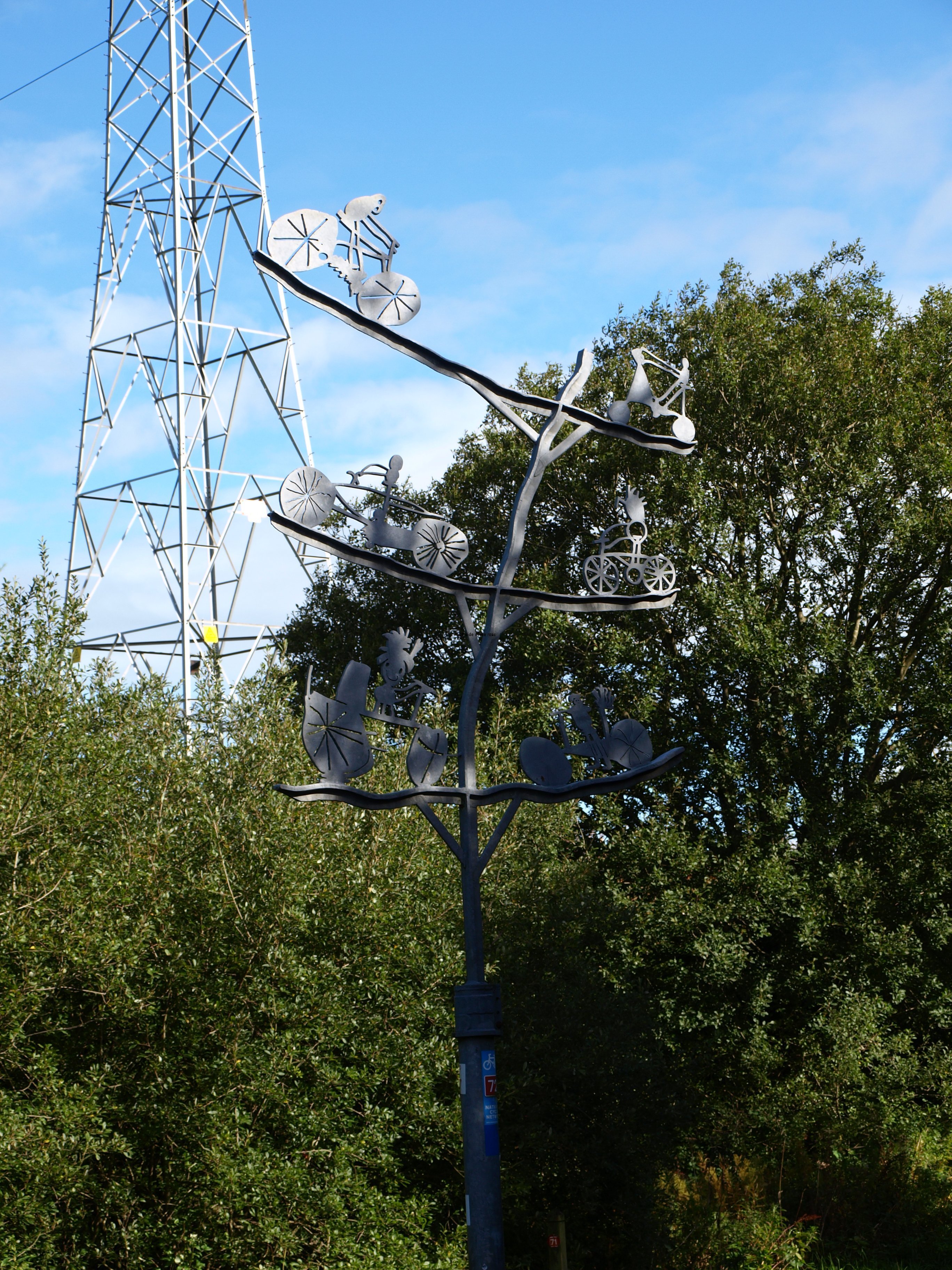
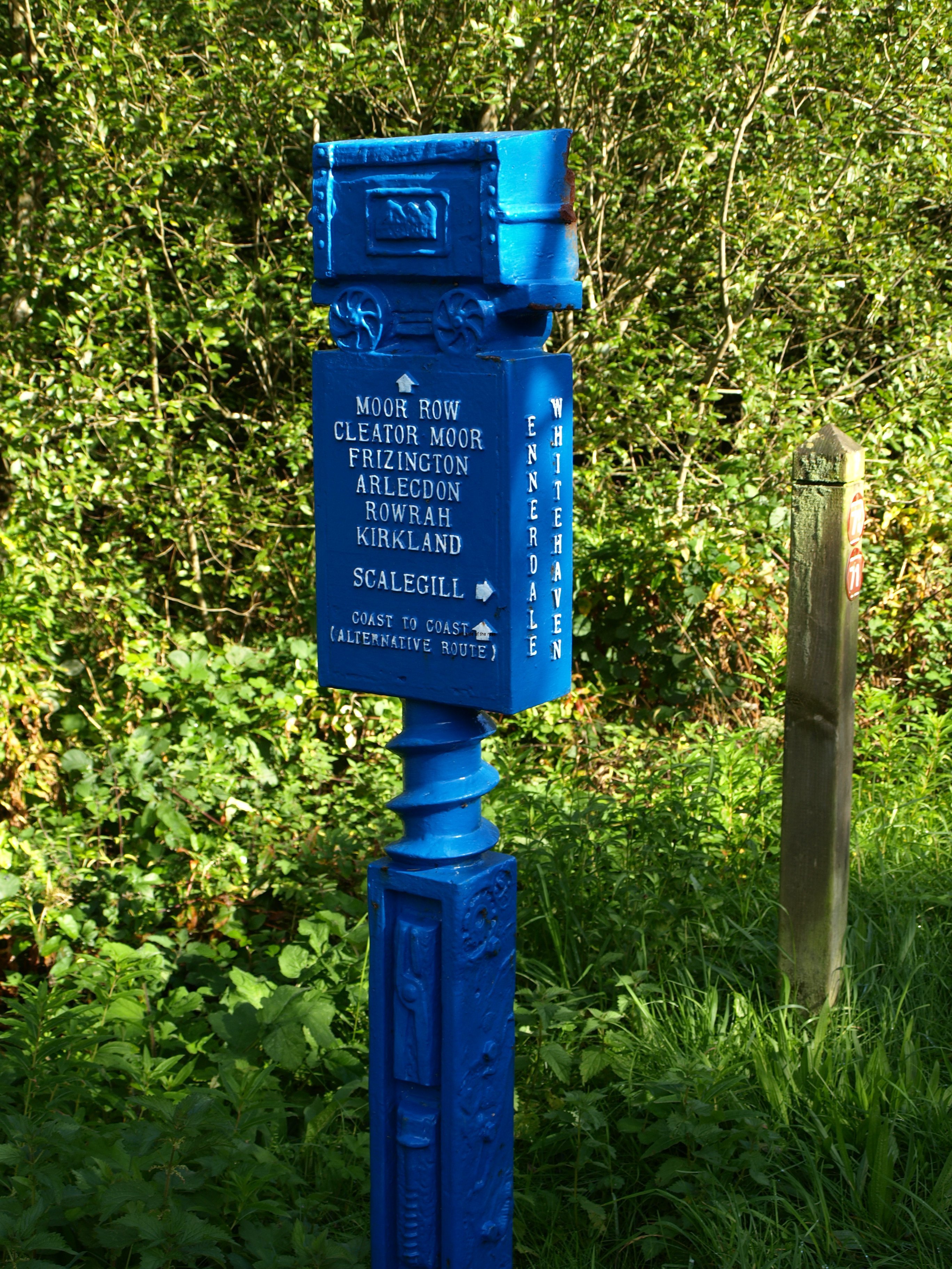
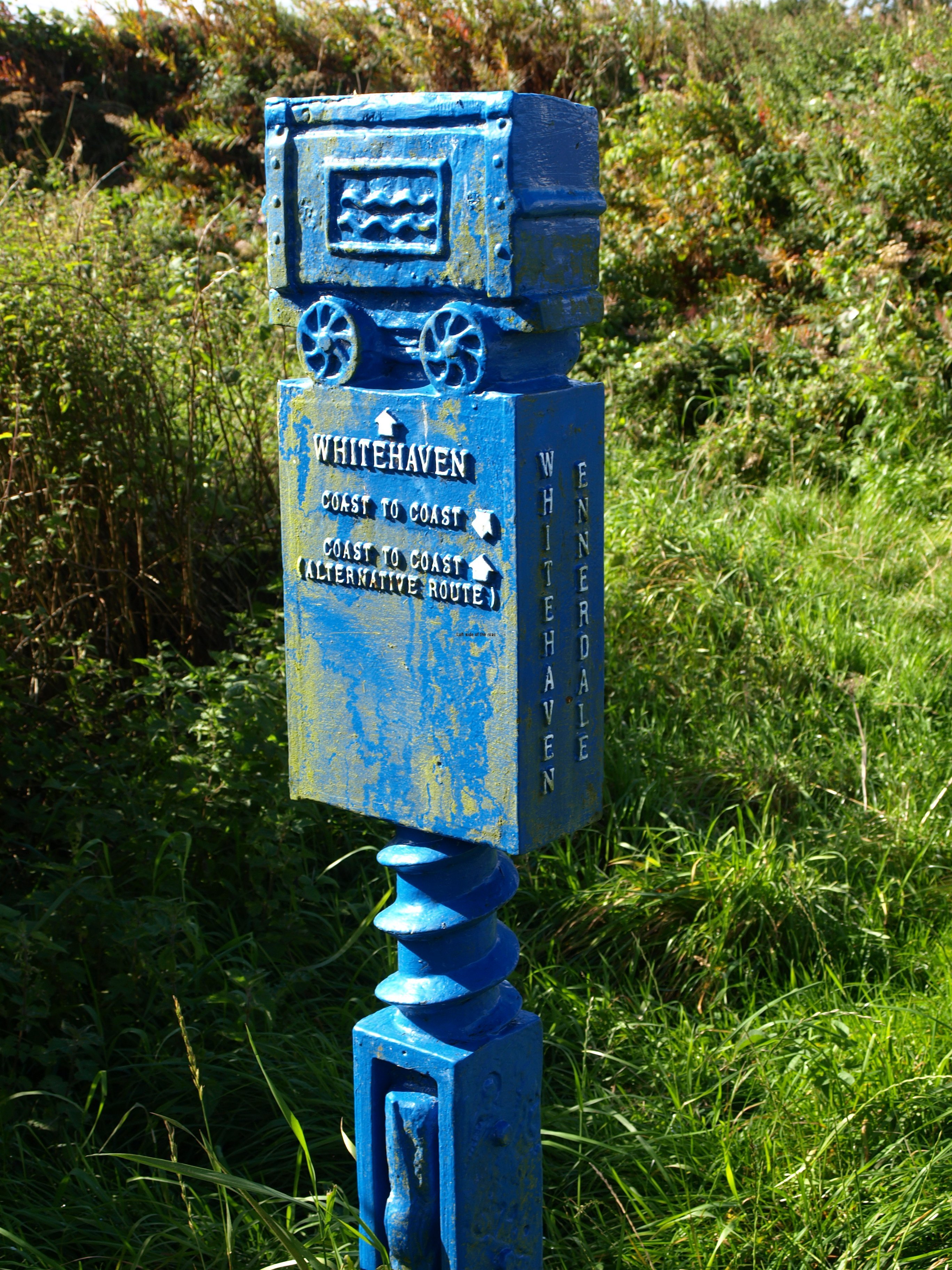
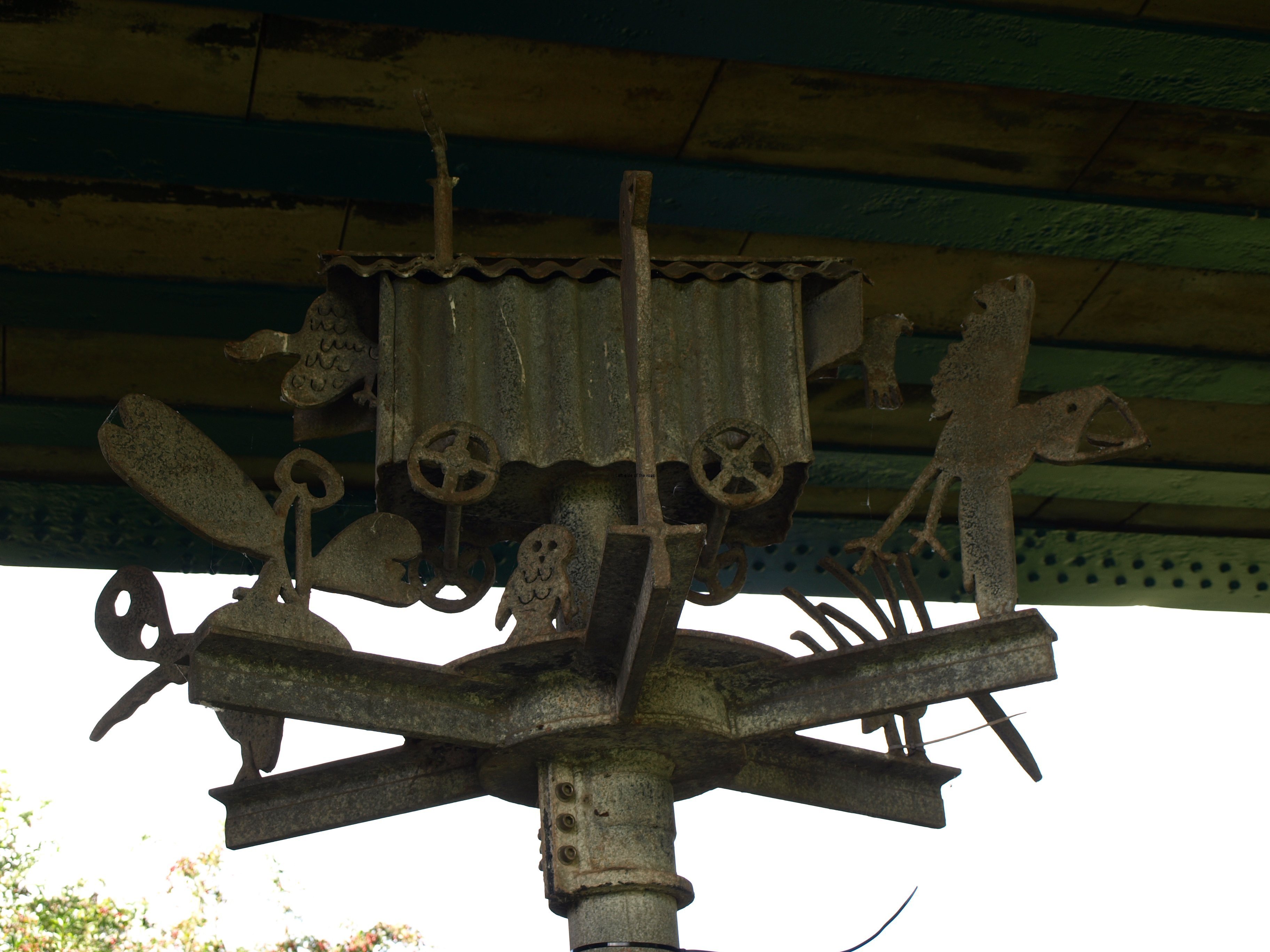
Prior to that there were some interesting, of varying quality, sculptures in and around the disused railway line now public path close to the village of Moor Row. These were paid for and created by people of the community and are worth a slight diversion off the recognised route to see them.

Just after this village and just before Cleator Moor I met up with a couple of Canadians, as far as I could see there weren’t many other people walking the same route that day. I stayed with them until they decided on a lunch break, my idea being if it is good weather make the most of it and if it’s bad keep on going to get into some proper shelter.

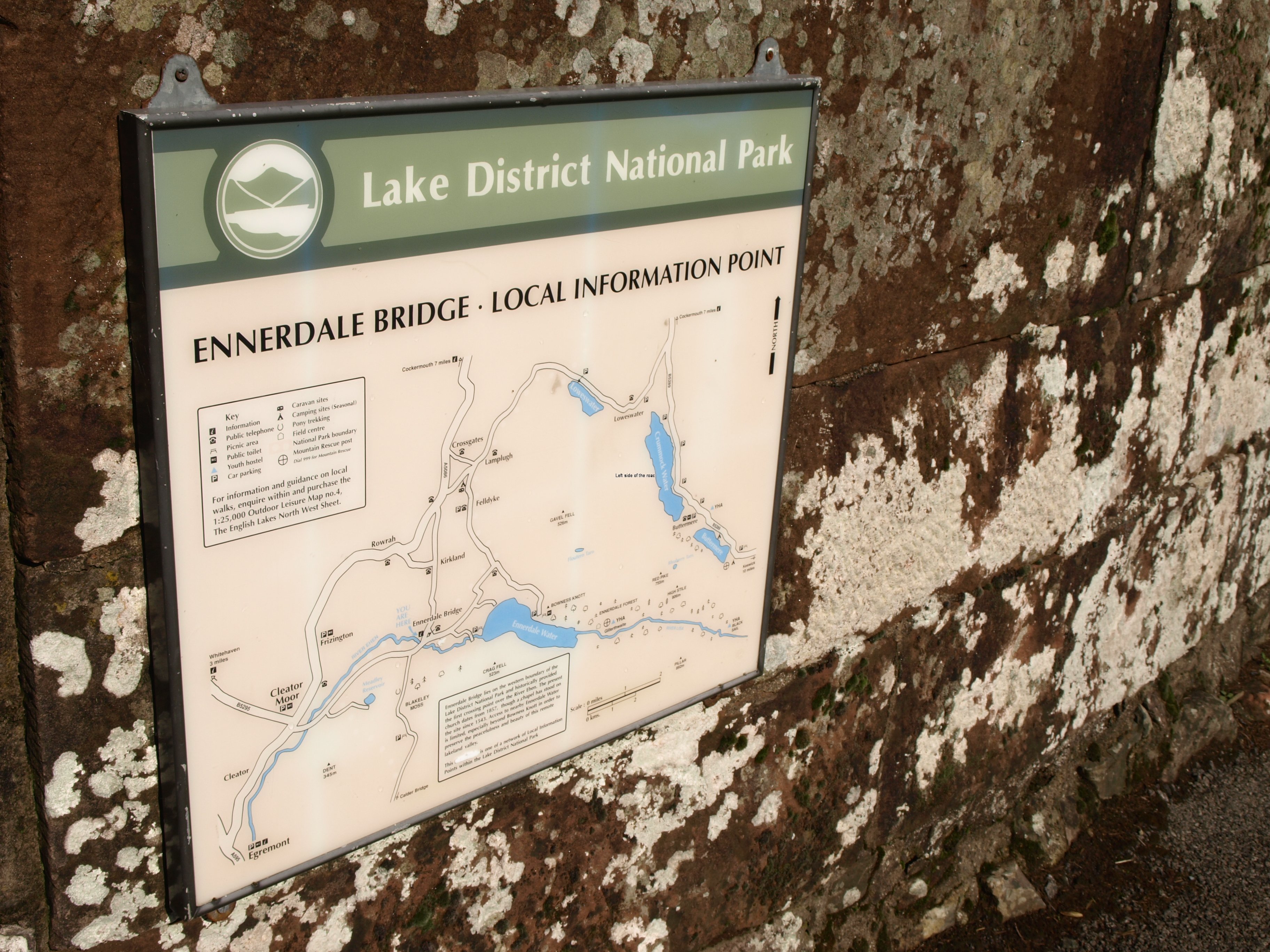
After leaving them, just under an hour from Ennerdale Bridge, I experienced a few short showers but nothing that required and drastic anti-rain action and arrived in the small village of Ennerdale Bridge 20 minutes before my scheduled time.

That was something else that I was pleased about on the first full day of walking. I had made route cards for every day and although I had allowed to short a time in one section I was able to pick that up at another and by the end of the day was in credit. If that remains the case I will be more than happy. Getting to a place early is preferable to miscalculating and arriving late, especially on the days where the distance to be covered is in the high teens, but I’ve got to try to understand why the timings are so different. It becomes a bit demoralising when you look at your watch and see that you had planned to have been at the destination but looking at the map you still have a couple of miles to go.

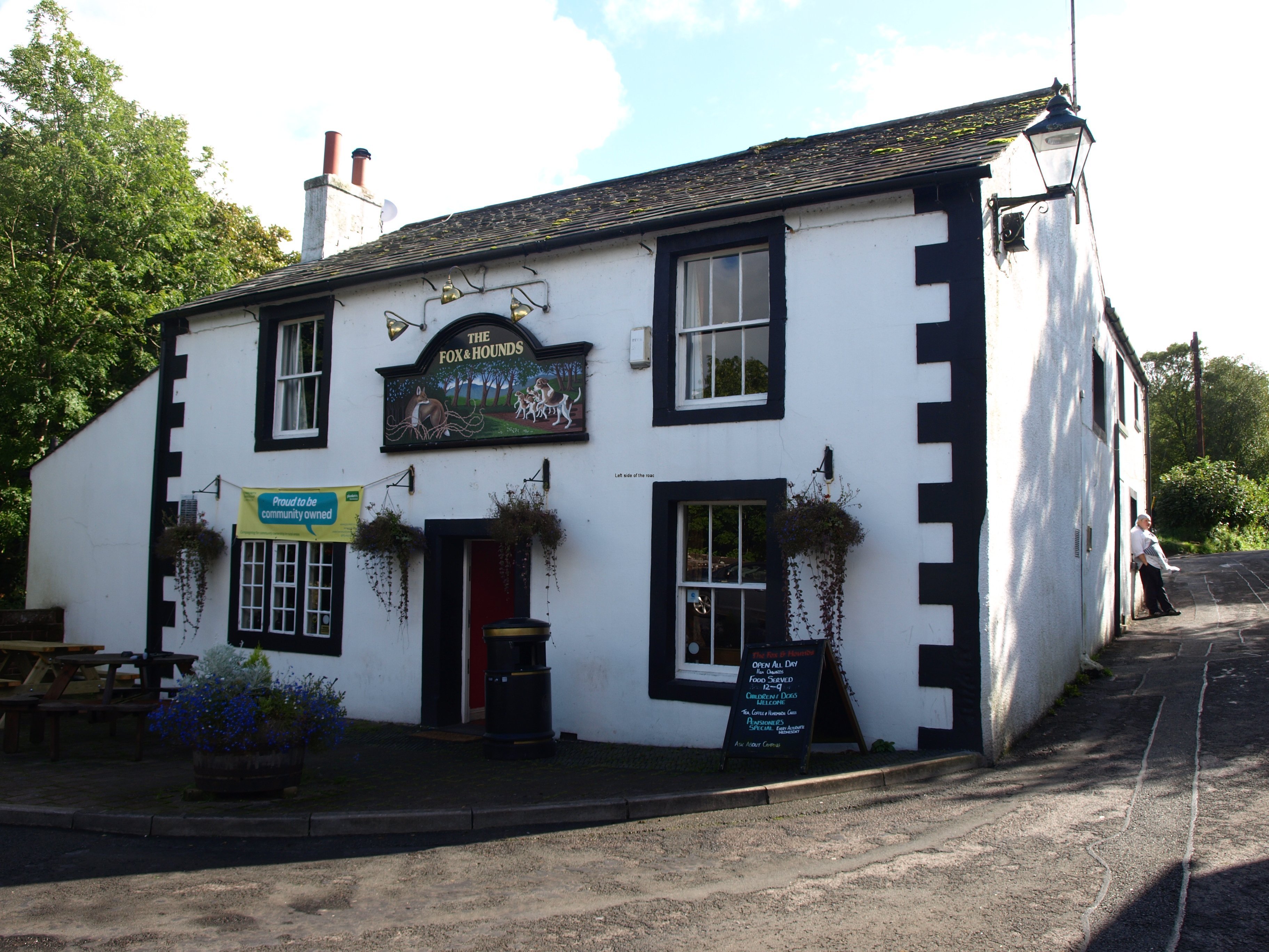
Spent 40 minutes in the Fox and Hounds in Ennerdale Bridge, one of the pubs that has been taken over by the community. Pint of 4.2% Wild Ennerdale, from the local Ennerdale brewery, at £2.90. Serves food all day but didn’t look at the menu or try anything.

Just before I left a walker came in declaring to the world that he was a Welshman doing the Coast to Coast walk. Why do people do that? If I entered a pub in the Lake District saying I was an Englishman the response would have been understandably, so what? I don’t understand why people do this in an almost empty pub, I’m merely broadcasting the matter to the rest of the world.

A nice little pub but there’s always a danger of stopping as getting started again is difficult when you still have 5 or so miles to go.

The northerly diversion around the edge of Ennerdale Lake (taken to avoid possible wet conditions on the southerly route) was easy at first, then there was a shortish stretch along a narrow path that wound its way through the bracken until meeting a forest track which eventually reached the Ennerdale YHA.

Why does the last mile or so always seem so long?

This hostel was very quite, only 5 people staying out of a maximum of 24. Things are getting quiet in general and accommodation doesn’t seem that difficult to find. Might have got away with not booking and just turning up but at the end of a long and potentially miserable day weather-wise why may more difficulties for yourself?

If it was difficult to move on from the pub earlier on it was even more difficult to move after a shower. The body seems to know it doesn’t have to go any further and goes into shut down mode but all those aches and pains – which were no more than those I normally wake up trying to identify – seemed to disappear by the next morning.

(As I’m writing this I’ve just looked up at a YHA notice that says that 10p from the sale of a bottle of Jennings Cumberland Ale (a glass of which I have at the right hand side of the computer) goes to help provide breaks in YHA hostels for children from (presumably) deprived backgrounds. So does that mean I can drink as much as I like and claim that it’s all for charitable purposes?)

So at 17.15 on the afternoon of Wednesday 18th September it was 19 miles down, 181 to go.

Practical Information:

Accommodation

YHA – Ennerdale

Does evening meals but they ask for pre-booking to guarantee a meal, although if you arrive and they are cooking for some they can normally add a late booking without problems. The standard price for an evening meal in all the youth hostels (at least in the Lake District area 2013) are Mains £7.50, 2 Courses £9.95, 3 Courses £11.95. Breakfast £4.99.
Most, if not all, Youth Hostels now serve alcohol.

More on Britain …

Previous     Next

Coast to Coast Walk – Before even a single step

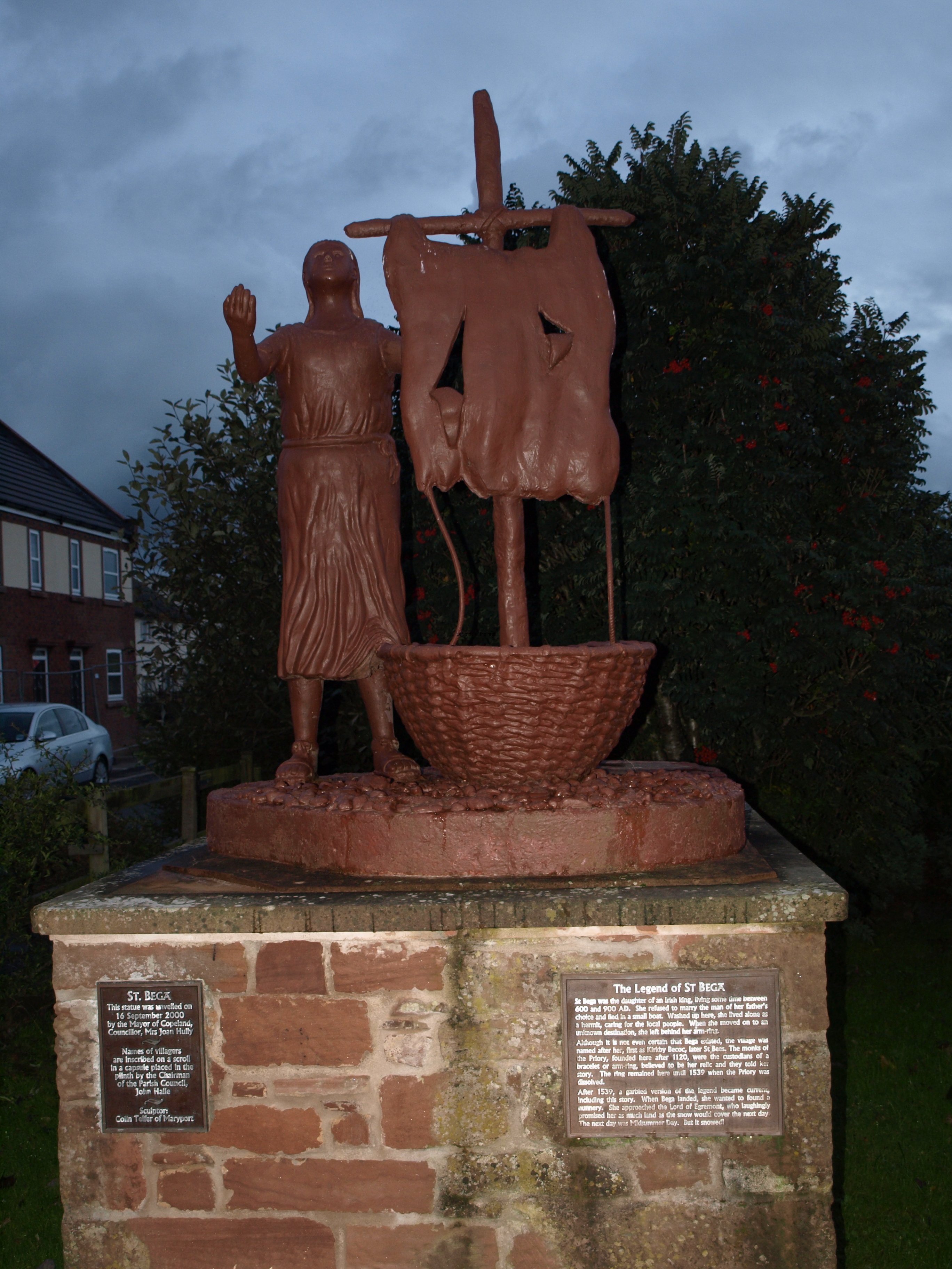
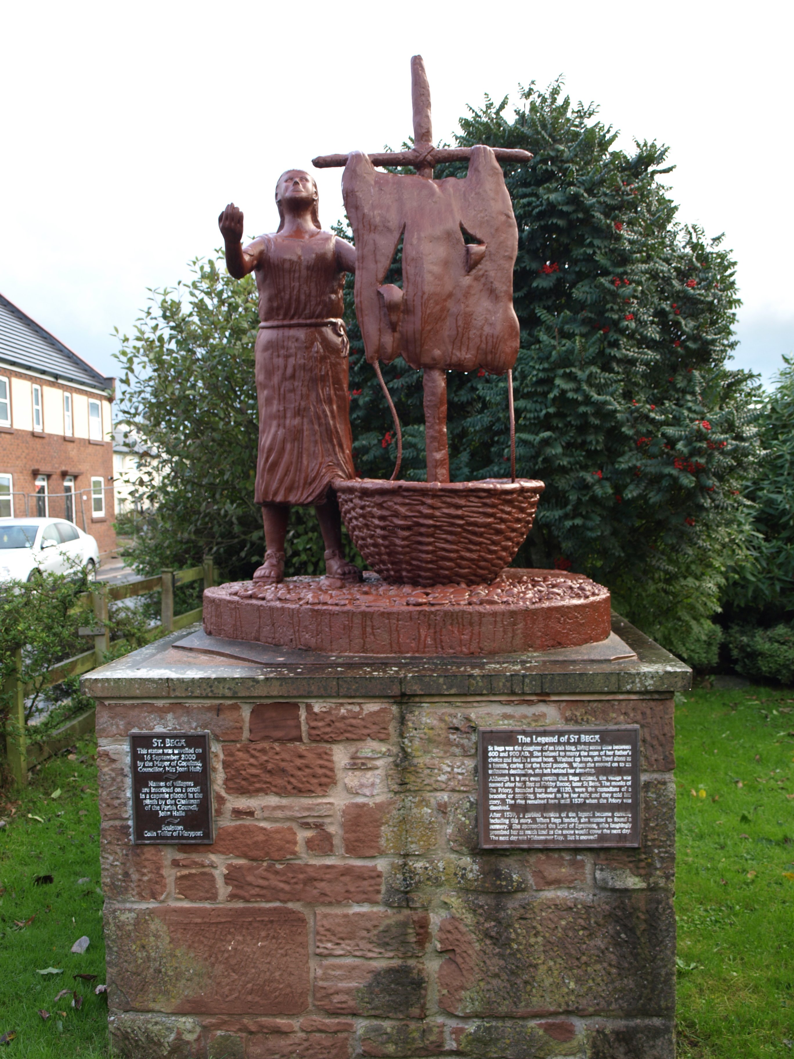
St Bega - St Bees - Cumbria

St Bega – St Bees – Cumbria

More on Britain …

Introduction – Before even the first step

I don’t know if it’s a sign of old age but I’ve had feelings of trepidation about this trip for a while. Having decided on attempting the trip well over a year ago, and putting it off on three occasions for different reasons, I felt myself being pushed into the adventure. If I had postponed the departure until next spring (I definitely have no intention of walking in this country in the winter over such a long distance) then I’m sure it would never have happened.

But I did start to make all the arrangements for accommodation and transport, etc., in the hope/expectation/desire/ that there would be a true ‘Indian summer’ in the north of England in 2013 – now it seems they (the meteorological pundits) are suggesting that we may even have an earlier than usual winter this year. Walking in snow in my sandals in the next couple of weeks is not something I am looking forward to with relish!

As the crunch date came closer I started to wonder how I would cope with the weight I’d have to take with me. Over the years I’ve really managed to cut down on what I take away on my travels. If flying by plane I take everything as cabin luggage – it makes life easier and escape from the arrival airport much faster if you don’t have to wait by the carousel for another bag. That’s OK for most locations but it doesn’t work for walking in the UK – at any time of the year.

As it has been getting wetter and colder, with stronger winds and now the prospect of the temperatures dipping into single figures IN THE DAY TIME HOURS the problem of what to pack becomes quite a dilemma. Take too little you could hit problems, take too much and you will spend days and weeks bemoaning the extra weight.

As I was trying to resolve this issue over the last weekend I was getting more concerned as the rucksack was getting more full and I still had things to pack.

It doesn’t make life much easier in that I have to include this computer (and it’s power supply) together with my camera and all its bits and pieces. In order to transform this walk from no more than an effort of an old fart to prove the assumption about old farts wrong I need a project – and that entails writing this diary and illustrating it with pictures. If there are words but no images I could just be writing everything in a cosy B+B somewhere – after all the very basis of fiction is the use of the imagination.

But I fought against all of that and at about 09.00 on Tuesday 17th September I picked up the heavier than I would have liked rucksack and started the journey to St Bees in Cumbria, on the Irish Sea.

That’s an important barrier to cross. Closing the door behind you and starting the process to all intentions puts these fears to rest, in the background, in the rubbish bin. They are really only excuses for not doing something that might be difficult to accomplish. They just come easier to use as a crutch as time goes on.

Because it’s true that once you embark on an ‘adventure’ the very fact of doing it pushes any doubts out of the way. If you think about the doubts then you won’t be able to deal with any issues or problems that arise. So even though I will almost certainly be cursing the weather, the rucksack and ‘God’ during the course of the next couple of weeks now that on the way the goal is the Irish Sea – whatever the conditions.

Before even making the first step on the walk itself I have to get there. Yes, it saves money by using the Gold Old Farts Bus Pass but it also becomes all part of the game. I know from my exploratory trip up to the Lake District earlier in the year that it is more than practical to arrive on different points of the walk in a day. It means an early start and a little bit of luck that you don’t encounter delays due to unexpected events (such as a train derailment on the line just south of Barrow-in-Furness that effected my plans this afternoon or an accident on the road that delayed all buses into Lancaster last June when I was trying to get back home) but it can be done. Sometimes with a three minute transfer but even with the occasional hiccup it was possible to arrive at St Bees just before it got dark, the only expense being the last short leg by train from Workington. The plan of using the buses throughout wasn’t helped by the fact that Stagecoach timetable one of their own buses to leave Keswick 2 minutes before the arrival of a connecting bus from Lancaster – meaning a wait of almost an hour for the next bus. What chance an integrated transport system if the same company is incapable of sensible and considered timetabling.

But as I started to work out how I would divide up the 200 miles of space between the 2 seas (fitting it into the availability of accommodation) I realised that getting to St Bees as early as possible and doing the short stretch along the cliffs at the very beginning on the travelling day would make life a lot easier. This could be done with no heavy pack and therefore much quicker. But the most significant gain would be psychological. Considering I was having doubts about the whole project – although those doubts diminished as I got closer to St Bees – once the first steps had been taken it would become a matter of ‘I’ve started so I’ll finish’.

It also solves another problem that seems to bedevil many of the long distance walks and that is that the very first section seems to be something that has to be done but is rarely the most interesting. This was the case with Hadrian’s Wall walk. On that walk the first section in the east started at an old Roman fort (although there’s not really a lot to see there) and then passes through a mixture of industrial decline and dereliction next door to yuppie housing and bar developments – although some of those bars didn’t seem to have a very long life. Doing that first (admittedly short) stage without having the burden of your worldly goods makes for a gentle introduction to the start of the 200 mile trek.

So the way I planned to get to the start of the walk was to use the pass on the buses Liverpool – Preston – Lancaster and then to catch the train that went along the southern coast of the Lake District passing through Barrow-in-Furness and Sellafield.

Things didn’t start out too well. Having got into the centre of town I was asked one of the most bizarre questions ever by a total stranger (and that says a lot living in Liverpool for most of my life). The question was ‘What do you think of someone who at the start of a relationship says that he only wants it to last three days?’ – this from a young woman. With such a strange question you have to think about the answer as the only correct answer is the one the woman herself wants to hear. She sat in the opposite double seat at the top front of the bus so I had a conversation that was getting more bizarre as time went on. Fortunately for me (being selfish) she got out at Southport, but a seriously damaged woman in need of some professional help.

The train journey was pleasant enough in fairly unpleasant weather conditions but would be one to experience in really fine weather. It starts by passing through Carnforth and Steamtown (though no evidence of any steam when I went through) then alongside the sea marshes, passing over causeways and dipping back inland and back to the sea. On the other side of the train you have the southern lakes and their peaks, though most covered in low cloud on the Tuesday.

But though rural there are some big towns along this route, and its the serving of these places that maintains the rail route. It might be busier in the holiday times with tourists but this is the commuter transport for school children and the workers of the two major industrial sites in this part of the country, Barrow-in-Furness shipyards and the Sellafield nuclear facility, both which employ hundreds, if not thousands, and the closure of either of these would turn this area into a backwater, suffering the fate of so much of Britain in the decline that has been overseen by respective post-war governments. It’s also very easy to see when you are up here that whatever the controversy that surrounds nuclear power has its social and economic consequences of those areas that have been chosen to house these plants. They are big money earners, and many of the surrounding small towns and villages have become commuter towns to relatively wealthy workers. It’s an interesting journey for many reasons and all in all a better train option than passing through Carlisle and then back west and east.

Although the weather had been changeable ever since leaving home I was greeted with a light shower as soon as I got off the train, not the sort of welcome I really wanted.

Buoyed up by the brief sunshine interlude whilst walking along the cliff path and an almost full moon in a cloudless night sky I retired for the night with more positive thoughts about the future trip than I had had for a while.

Practical Information:

Transport

Train

Workington – St Bees, 16.02, 17.21, 18.16, 27 minutes, single – £3.60

Whitehaven – St Bees, 16.22, 17.39, 18.36, 7 minutes, single – £2.20

The timetable from Lancaster – Carlisle

Single from Lancaster to St Bees £17.80

Bus

The bus from St Bees to Whitehaven is supposed to leave at the bus stop at the railway station car park at 09.14, and passes through Sandwith.

Accommodation – St Bees

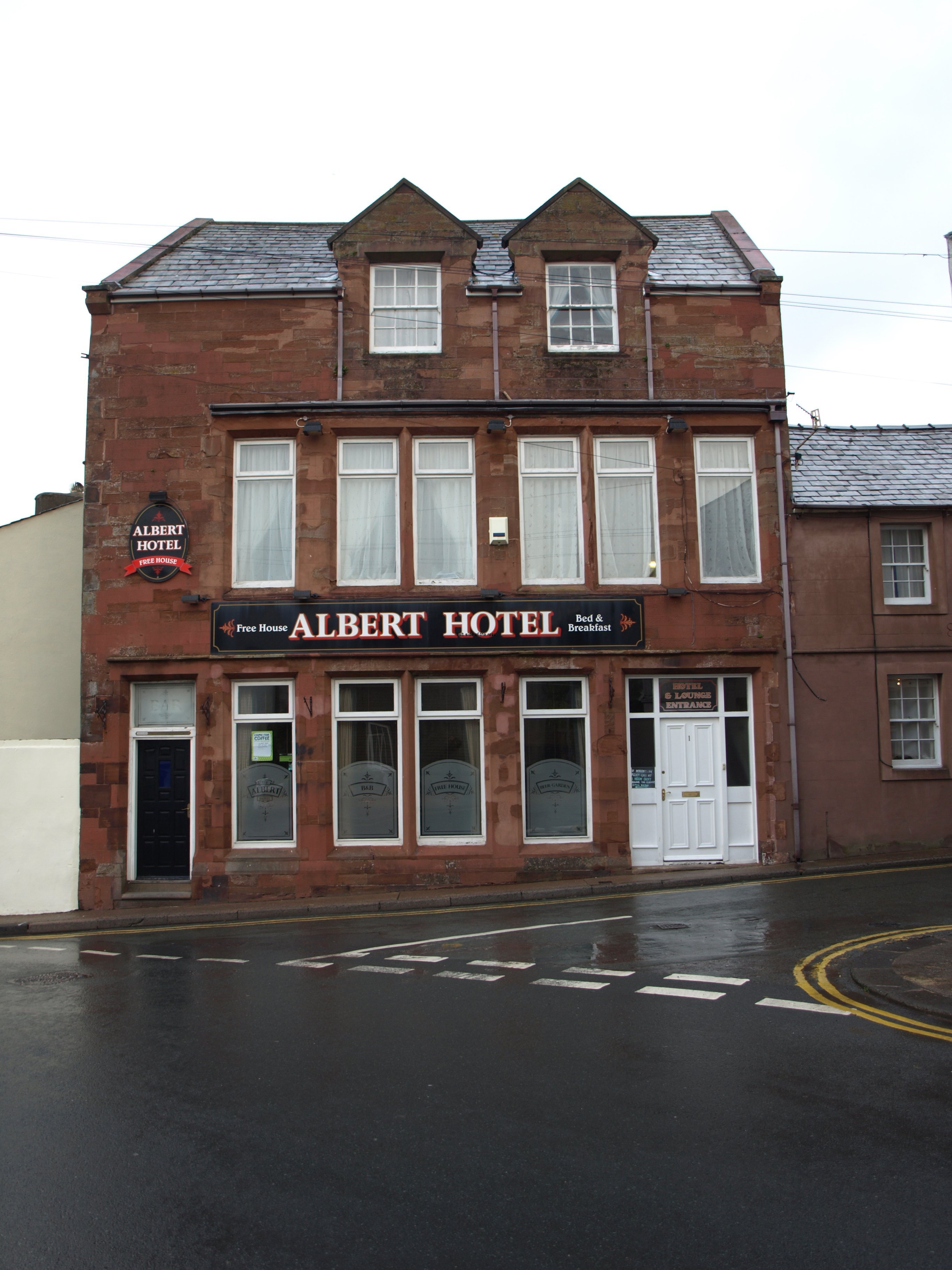
The Albert Hotel

www.alberthotel-stbees.co.uk

Tel: 01946 822345

Single B+B £40.00

Good, clean Bed and Breakfast. Doesn’t take credit cards. Very close to the station and just opposite the bus stop to Whitehaven. Doesn’t (always) do evening meals. Got someone to give me a lift up to Sandwith when they knew that the public bus hadn’t turned up.

Food:

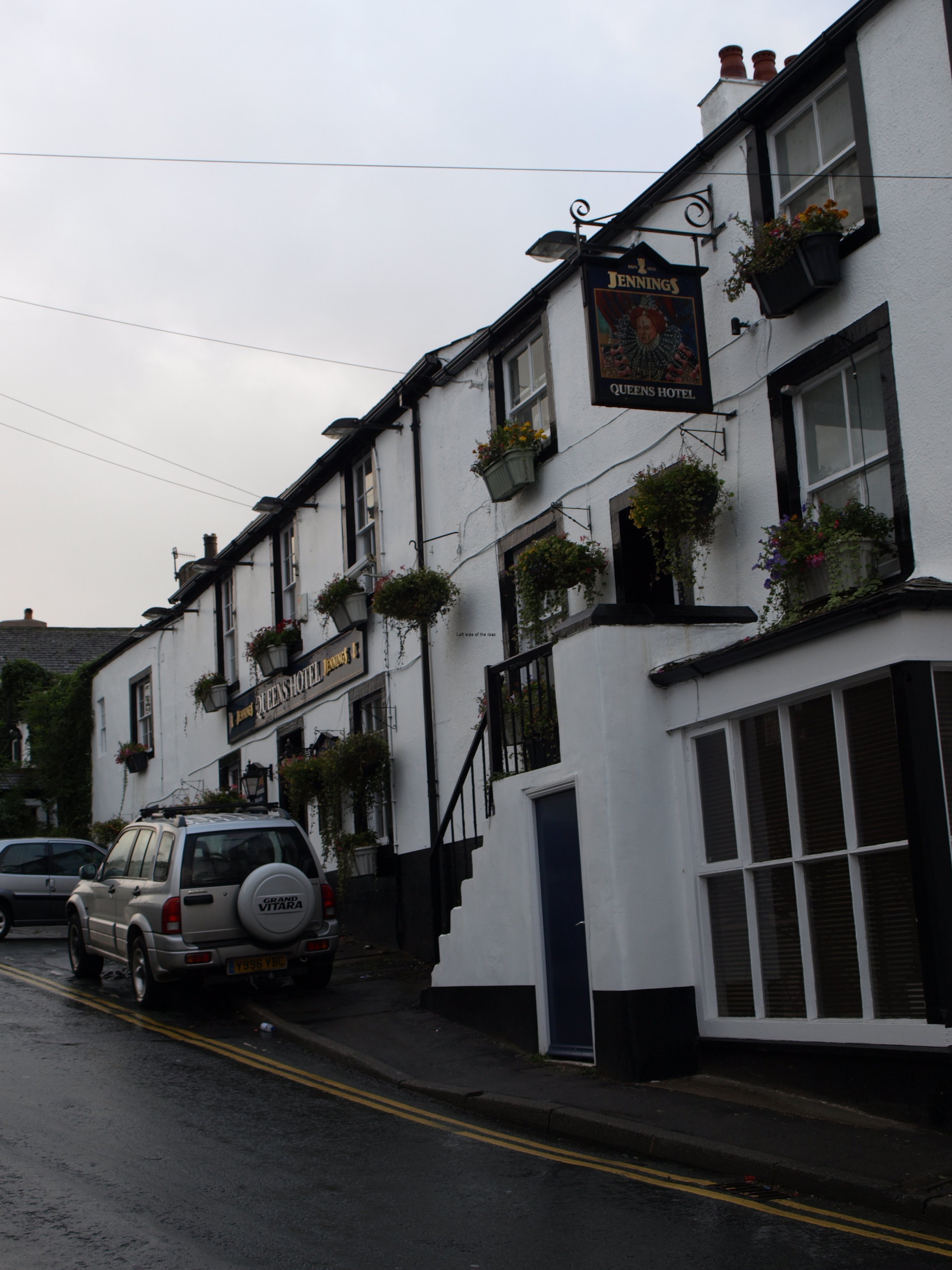
The Queens Arms

Just a bit further up the road from the Albert and the railway station. Has free wifi. Has a comprehensive menu but no snacks, such as sandwiches, available in the evening. Reasonably priced real ale (£2.90 pint of Jennings Cumberland Ale) – not yet into ‘Wordsworth country’, i.e., anywhere that can claim any connection whatsoever, however tenuous, to the great romantic/revolutionary (who might have suggested French Revolution solutions to exploiters of the poor and dispossessed) where the maxim seems to be ‘screw the tourists’.

More on Britain …

Next